Trails in United States
10,367 hiking trails, each with its route, climb, walking time and grade.
All trails, page 158 of 216
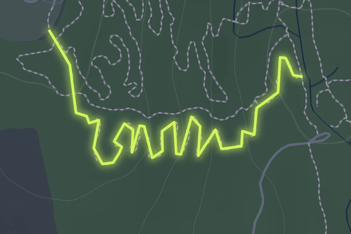
Easy · Trail
Red Trail
2.3 km · ↑ 52 m · 39 min
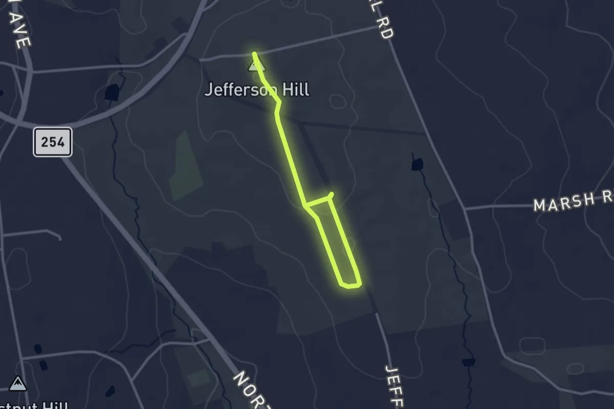
Easy · Summit
Red Trail
3.5 km · ↑ 26 m · 53 min
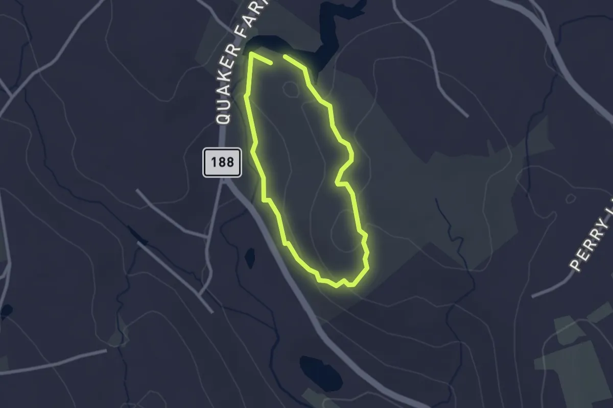
Easy · Trail
Red Trail
2.1 km · ↑ 67 m · 41 min
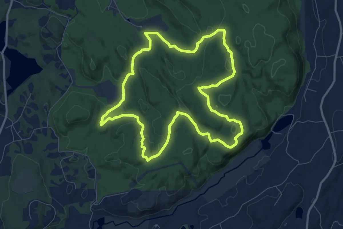
Medium · Trail
Red Trail
8.9 km · ↑ 158 m · 2 h 35 min
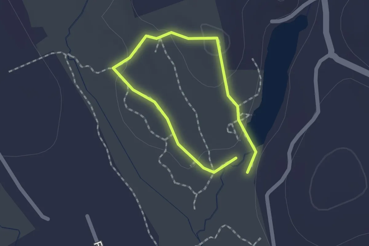
Easy · Trail
Red Trail
1.1 km · ↑ 28 m · 21 min
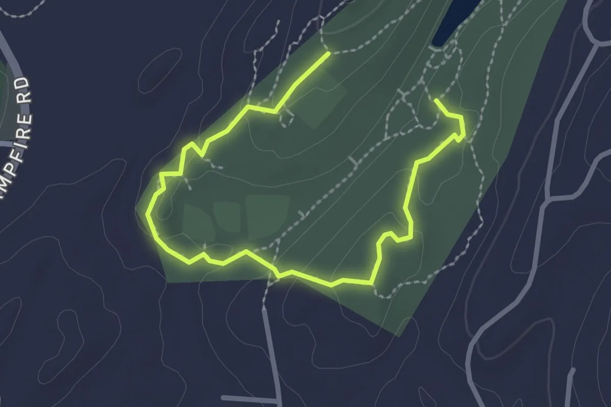
Easy · Trail
Red Trail
3.3 km · ↑ 100 m · 1 h
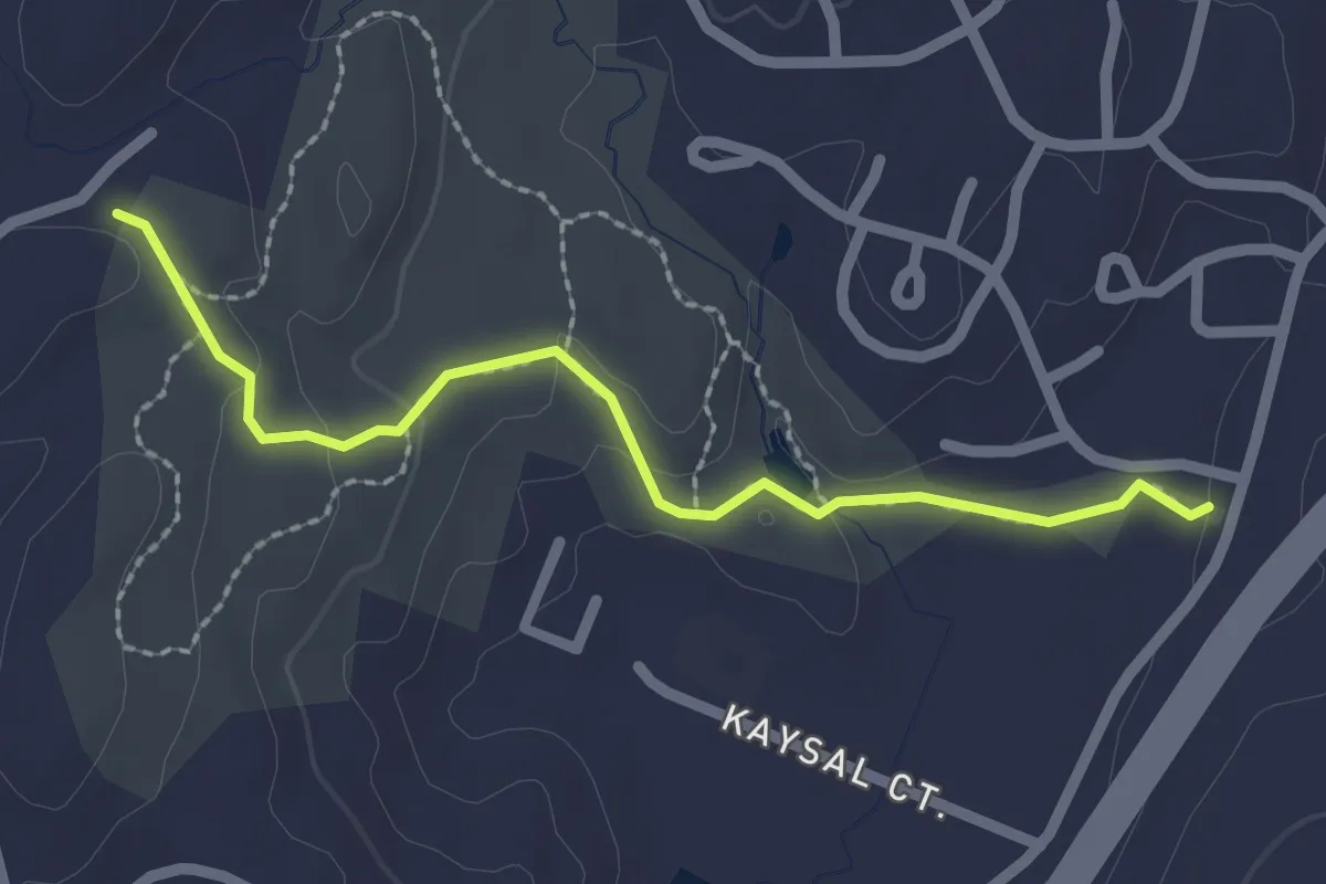
Easy · Trail
Red Trail
2.4 km · ↑ 67 m · 43 min
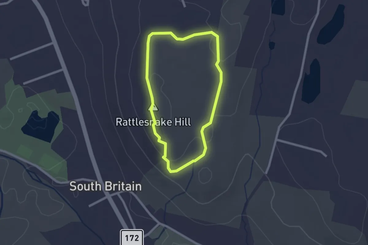
Easy · Summit
Red Trail
1.9 km · ↑ 59 m · 36 min
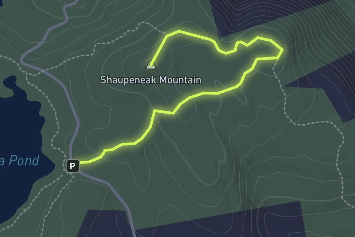
Easy · Summit
Red Trail
3.0 km · ↑ 69 m · 52 min
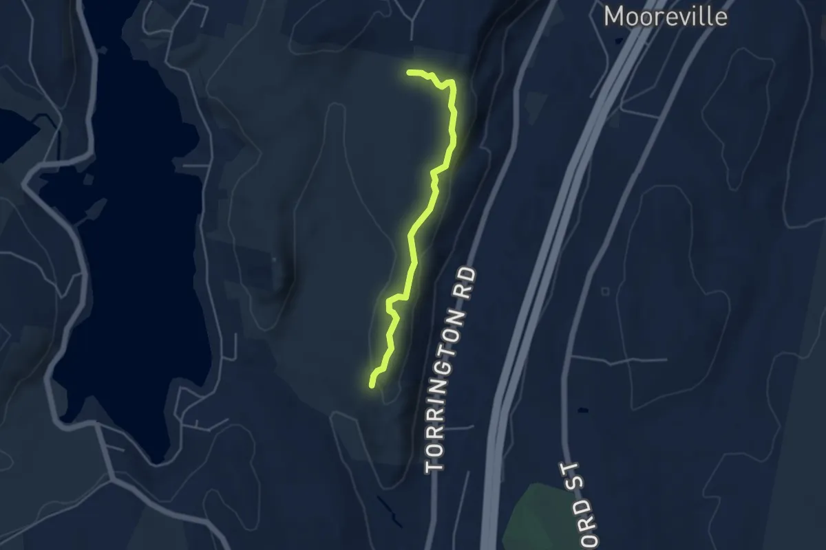
Easy · Trail
Red Trail
4.1 km · ↑ 93 m · 1 h 10 min
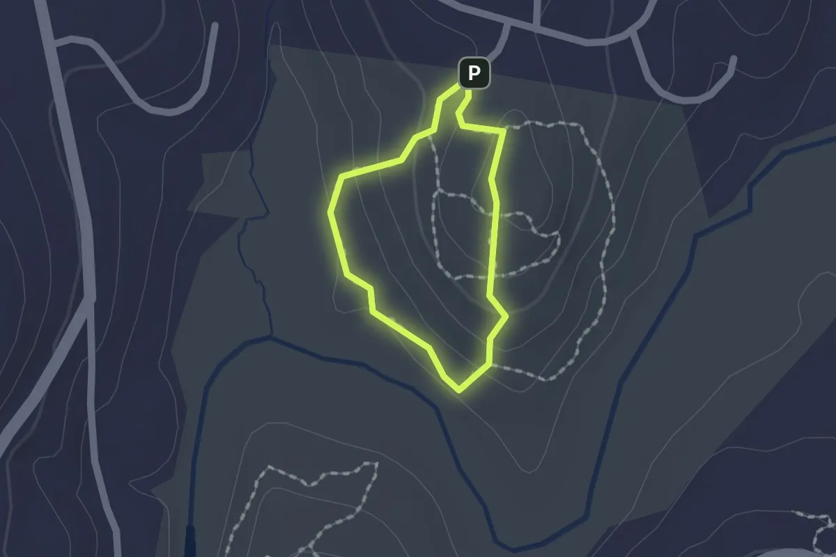
Easy · Trail
Red Trail
1.2 km · ↑ 50 m · 24 min
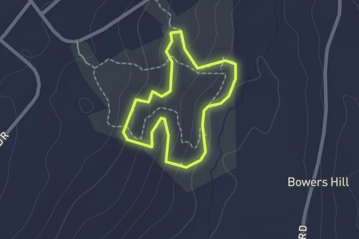
Easy · Trail
Red Trail
1.4 km · ↑ 55 m · 27 min
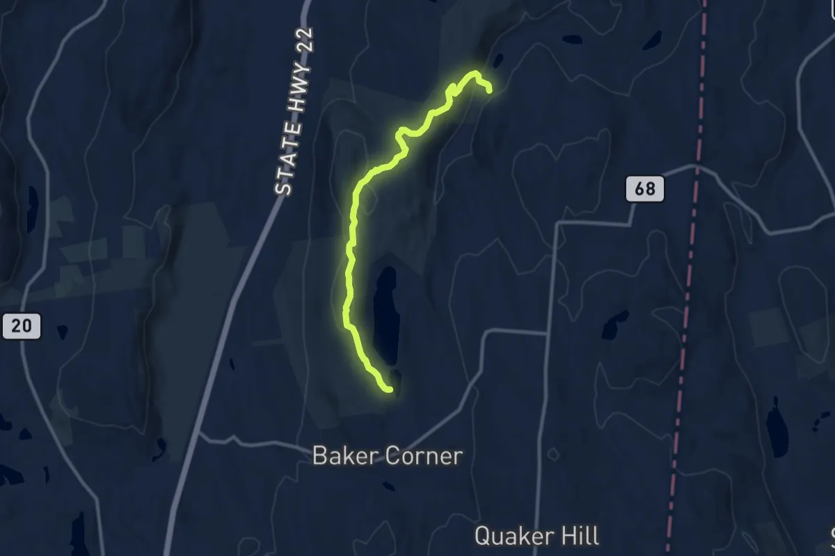
Medium · Trail
Red Trail
10.3 km · ↑ 229 m · 2 h 55 min
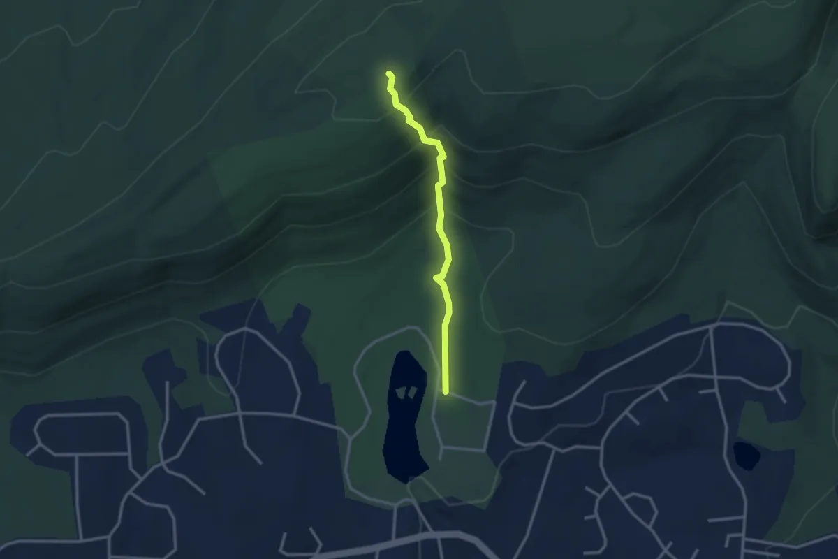
Easy · Trail
Red Trail
2.7 km · ↑ 202 m · 1 h 4 min
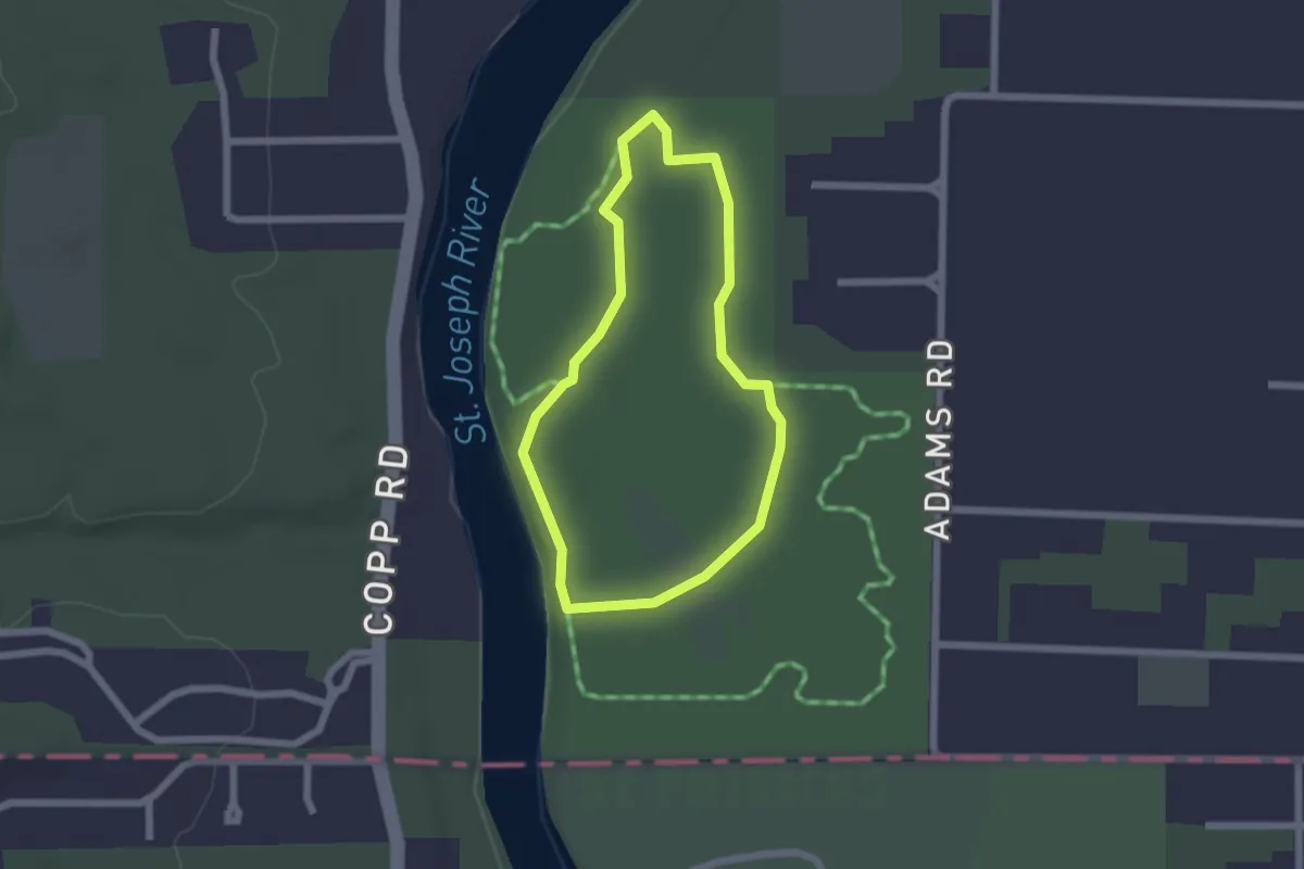
Easy · Trail
Red Trail
1.9 km · ↑ 4 m · 29 min
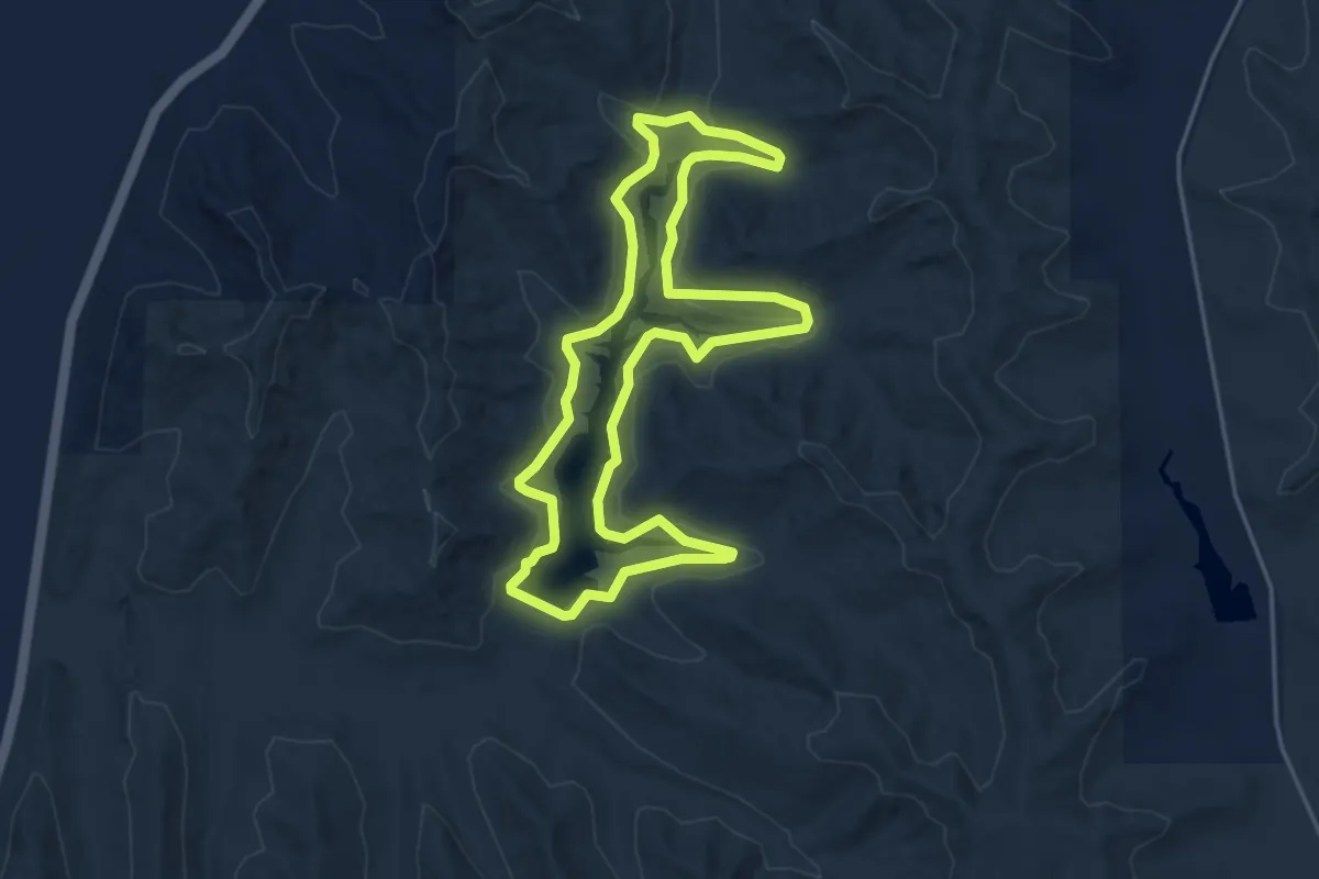
Easy · Trail
Red Trail
4.8 km · ↑ 64 m · 1 h 21 min
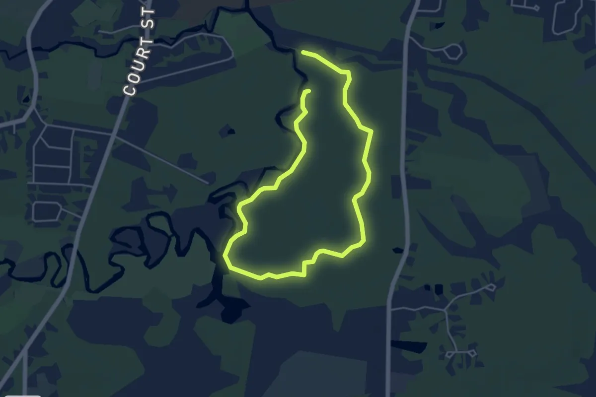
Easy · Trail
Red Trail
3.8 km · ↑ 4 m · 57 min
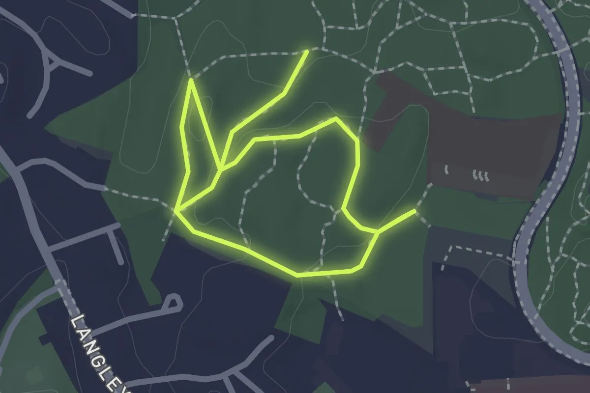
Easy · Trail
Red Trail
3.3 km · ↑ 40 m · 53 min
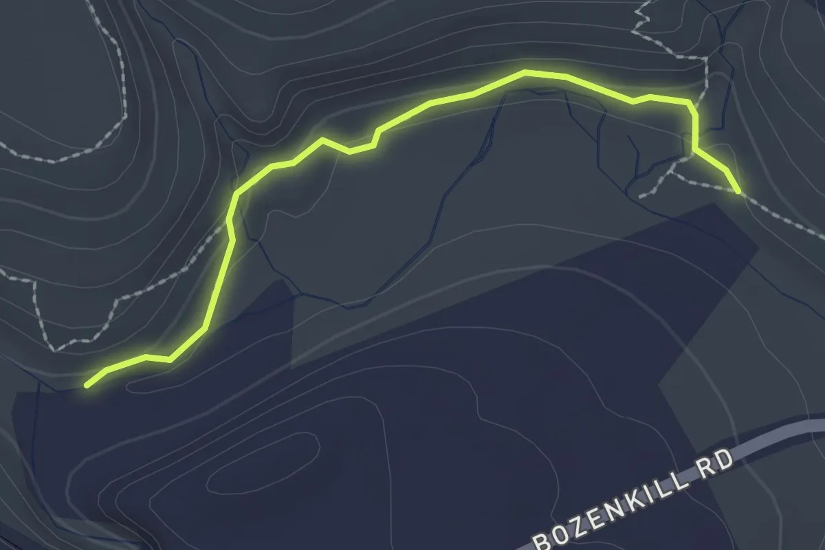
Easy · Trail
Red Trail
2.3 km · ↑ 57 m · 39 min
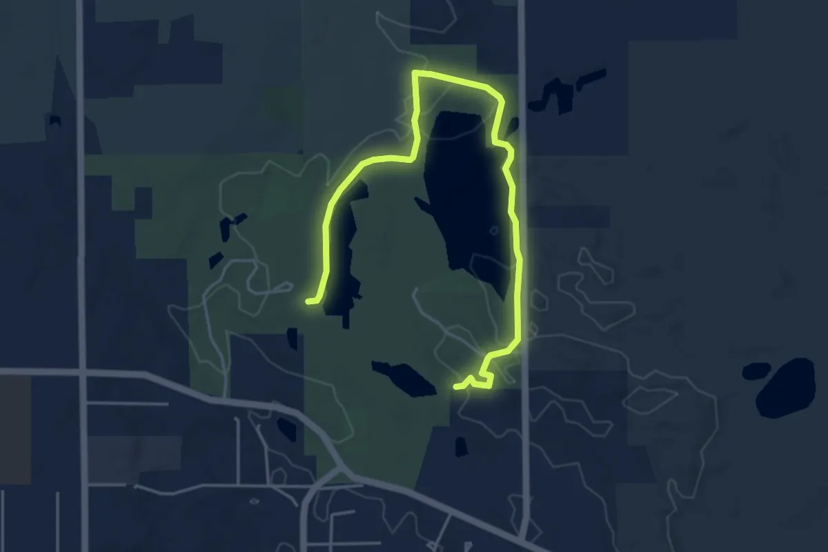
Easy · Trail
Red Trail
5.5 km · ↑ 71 m · 1 h 27 min
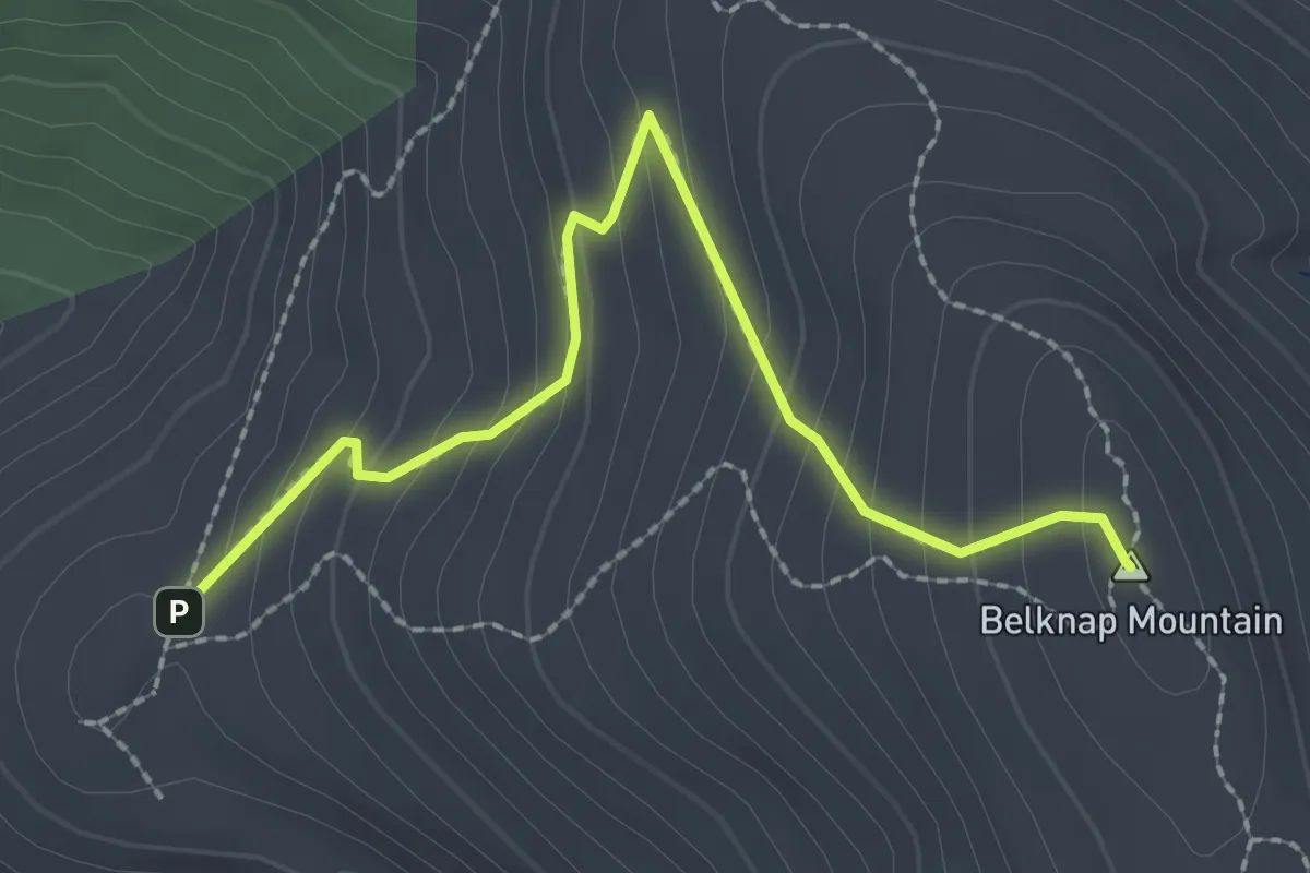
Easy · Summit
Red Trail
2.6 km · ↑ 200 m · 1 h 2 min
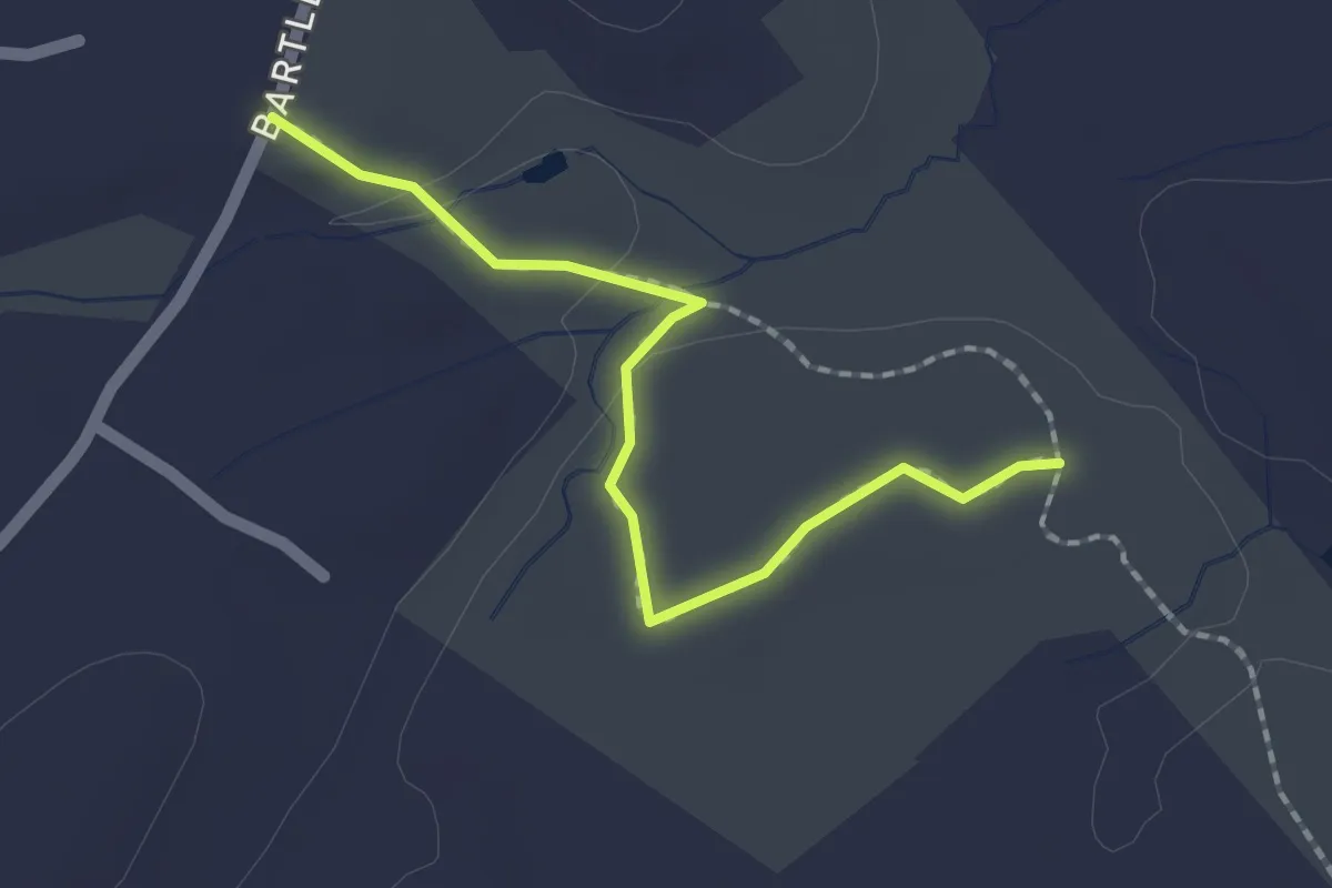
Easy · Trail
Red Trail
2.0 km · ↑ 25 m · 31 min
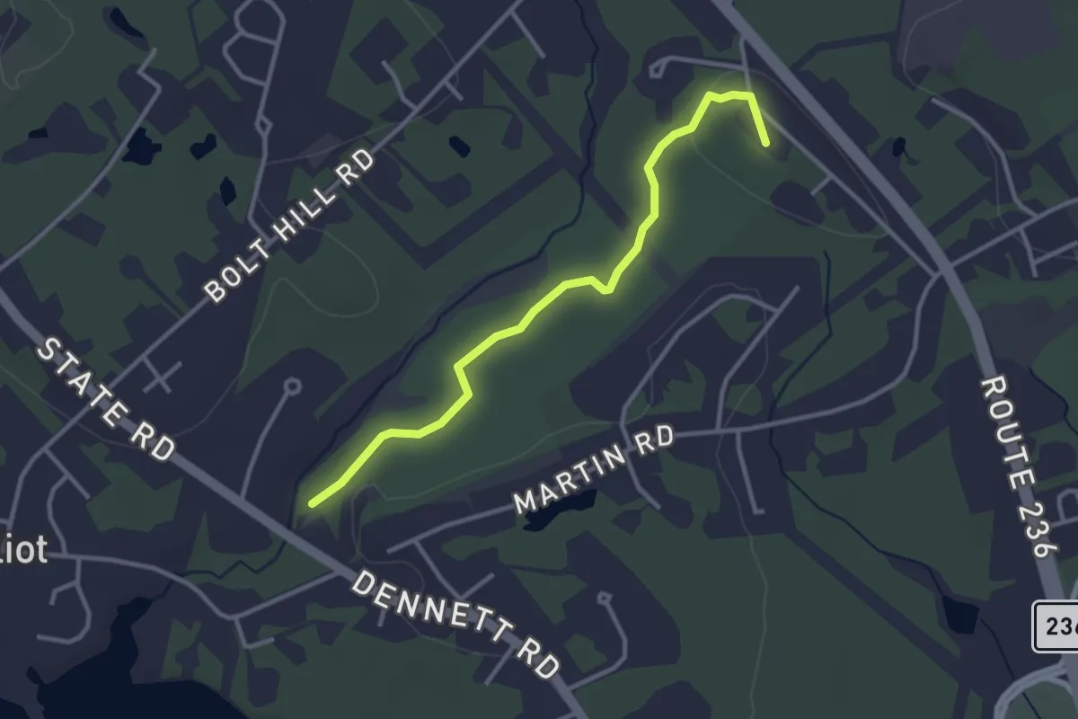
Easy · Summit
Red Trail
3.3 km · ↑ 28 m · 51 min
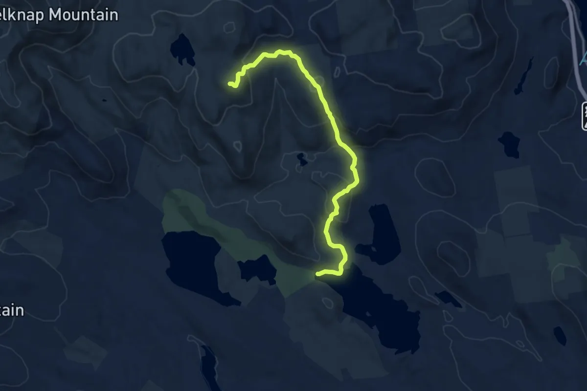
Medium · Summit
Red Trail
12.1 km · ↑ 681 m · 4 h 21 min
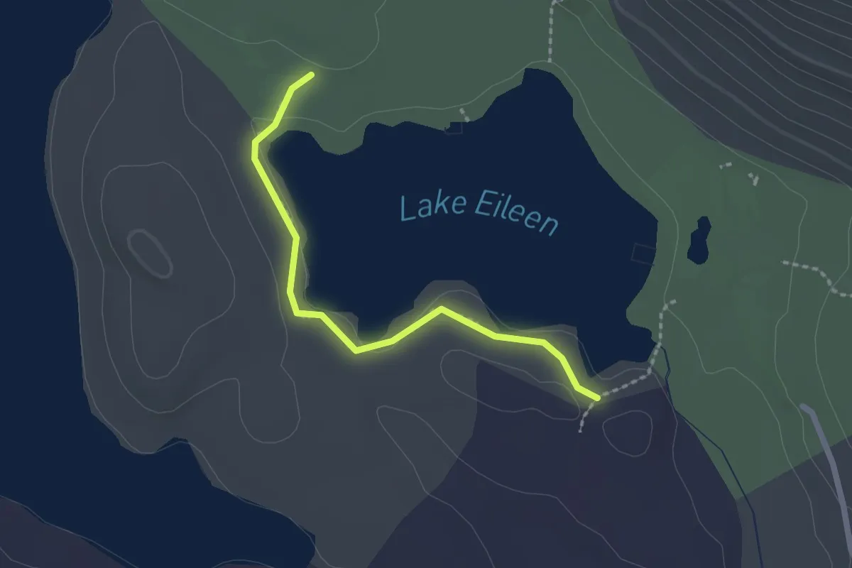
Easy · Trail
Red Trail
2.1 km · ↑ 9 m · 30 min
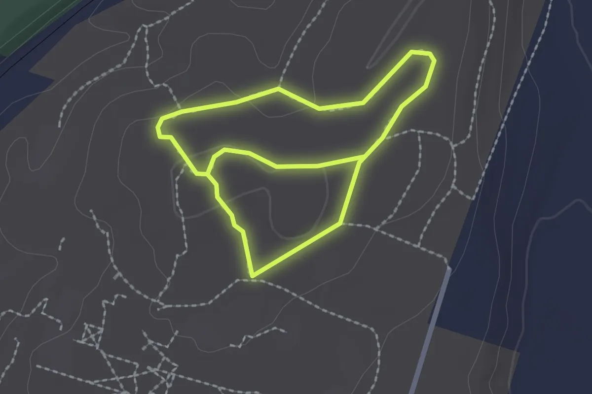
Easy · Trail
Red Trail
3.7 km · ↑ 22 m · 55 min
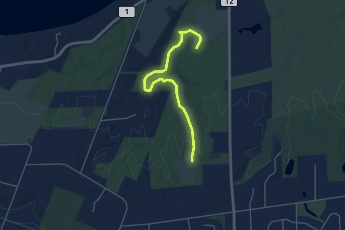
Easy · Trail
Red Trail
4.0 km · ↑ 37 m · 1 h 2 min
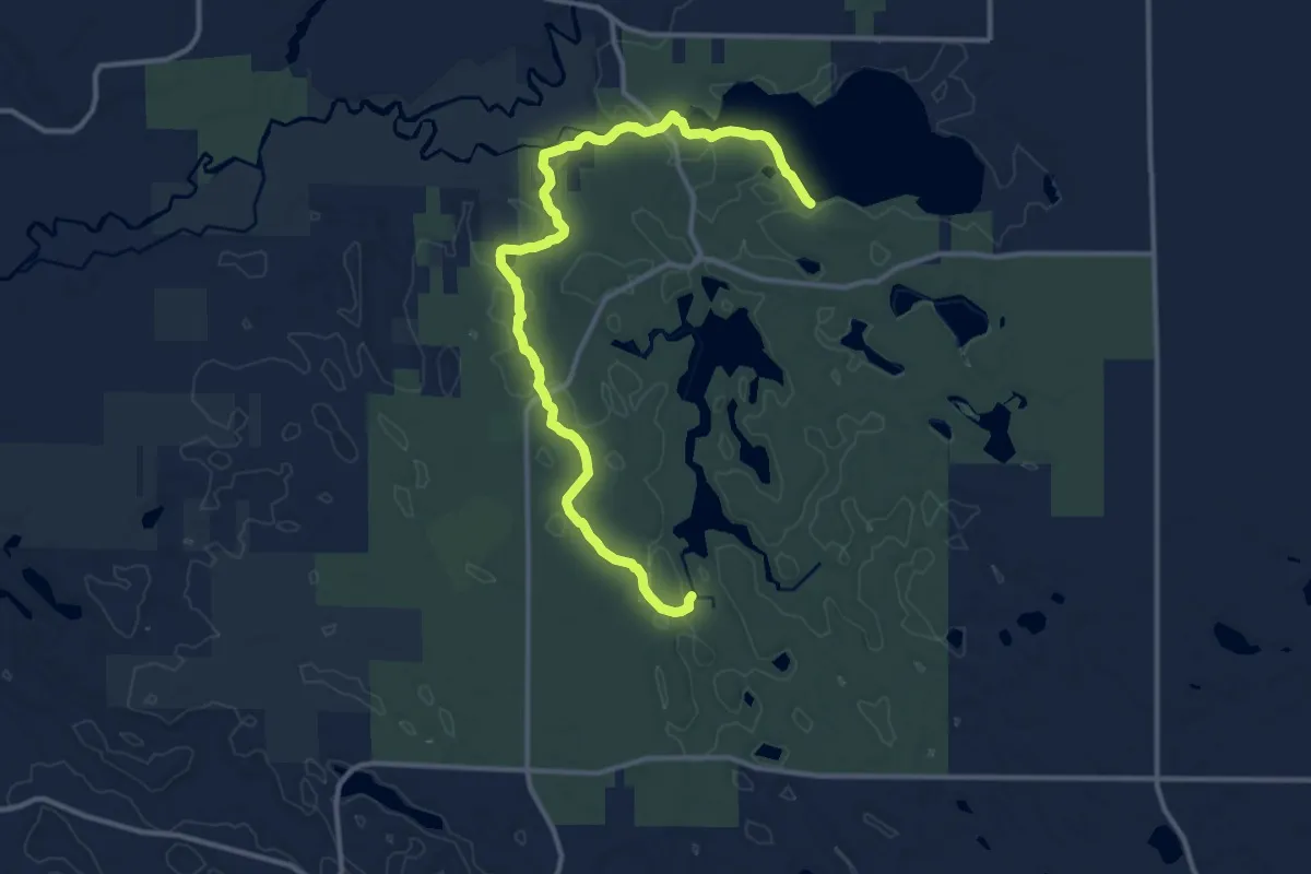
Medium · Trail
Red Trail
15.0 km · ↑ 147 m · 3 h 52 min
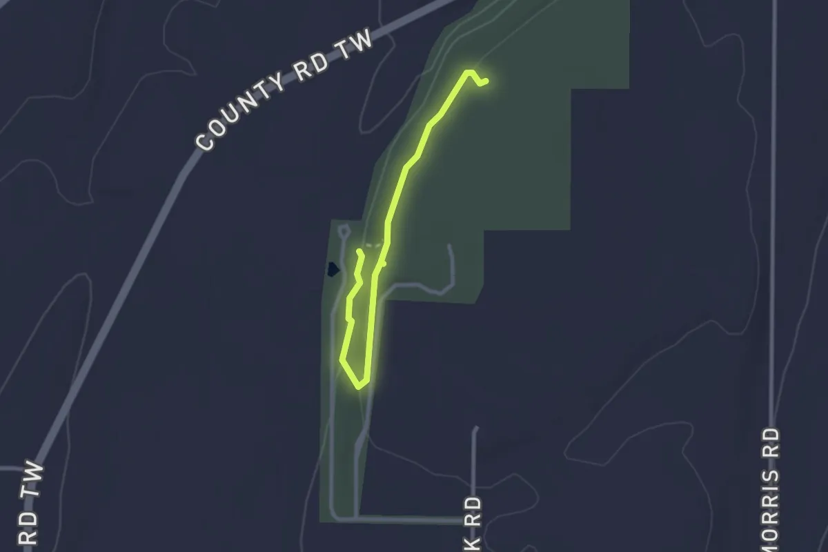
Easy · Trail
Red Trail
2.8 km · ↑ 48 m · 46 min
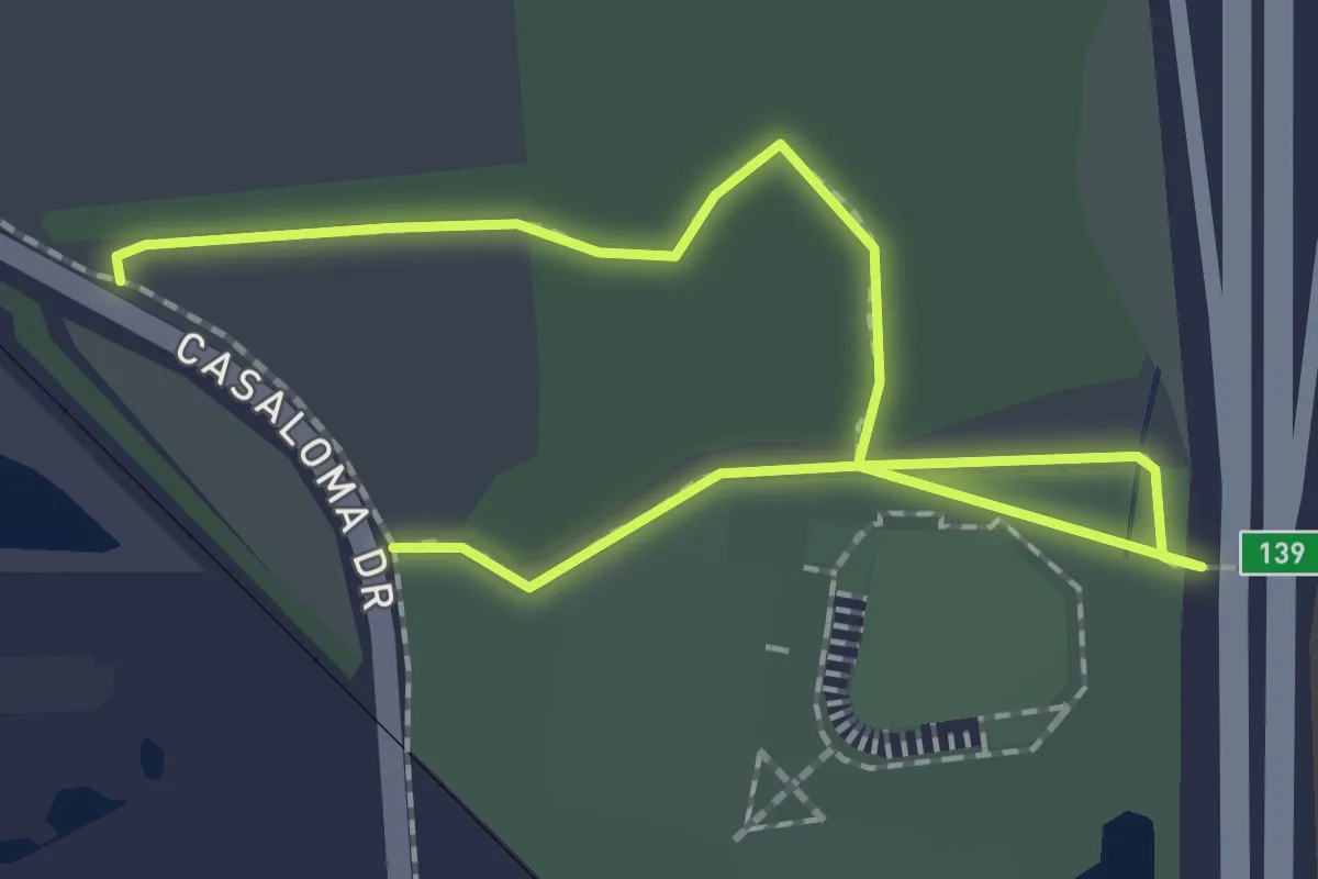
Easy · Trail
Red Trail
2.8 km · ↑ 0 m · 40 min
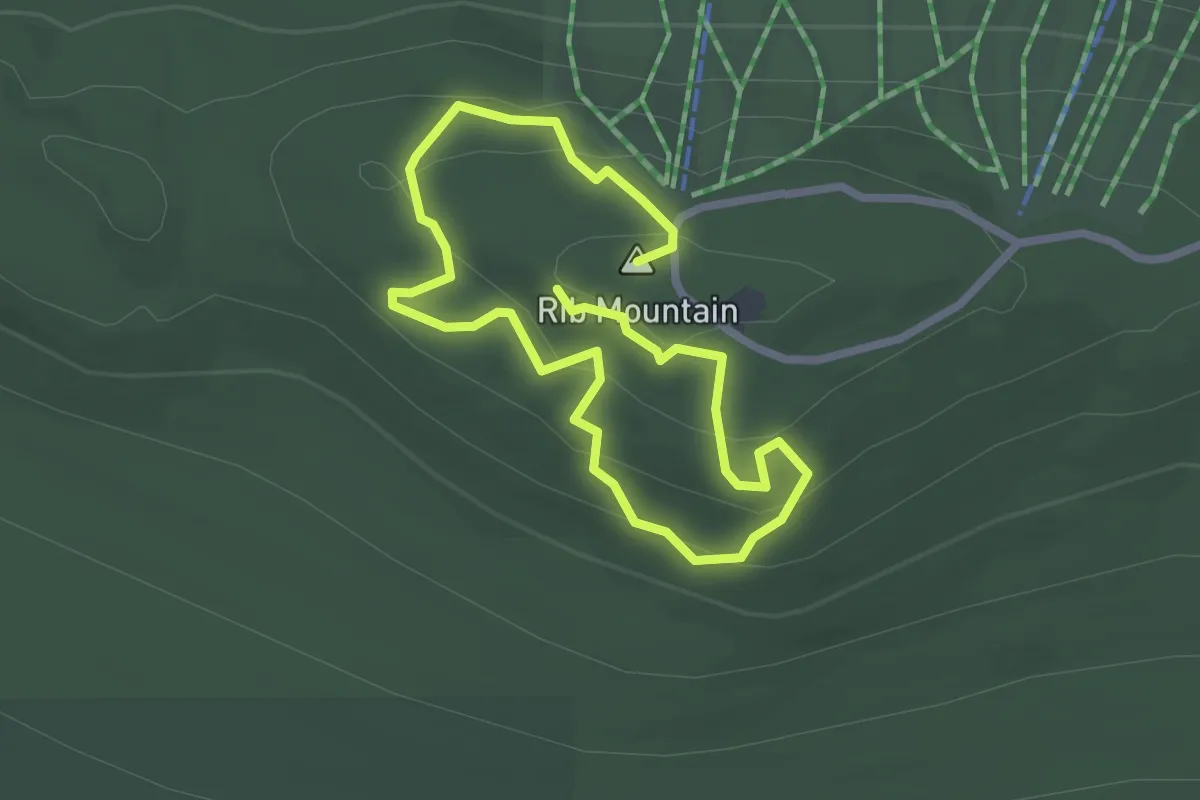
Easy · Summit
Red Trail
2.1 km · ↑ 100 m · 45 min
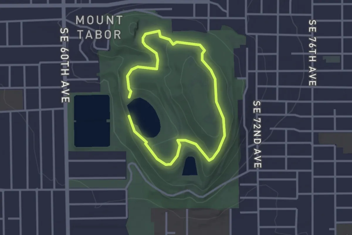
Easy · Summit
Red Trail
2.2 km · ↑ 58 m · 41 min
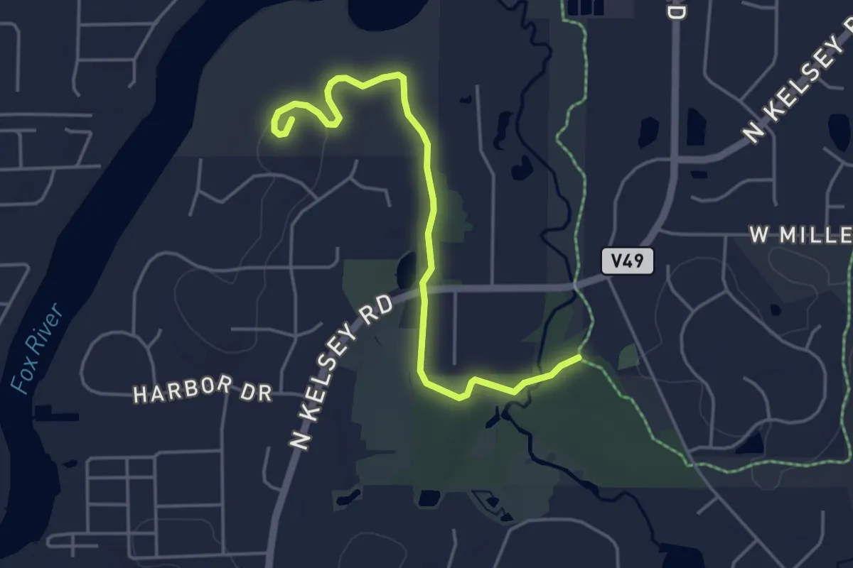
Easy · Trail
Red Trail @ Grassy Lake Forest Preserve
4.7 km · ↑ 26 m · 1 h 10 min
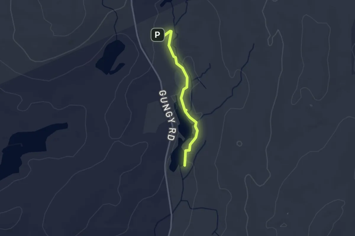
Easy · Trail
Red Trail, Hartman
2.5 km · ↑ 29 m · 40 min
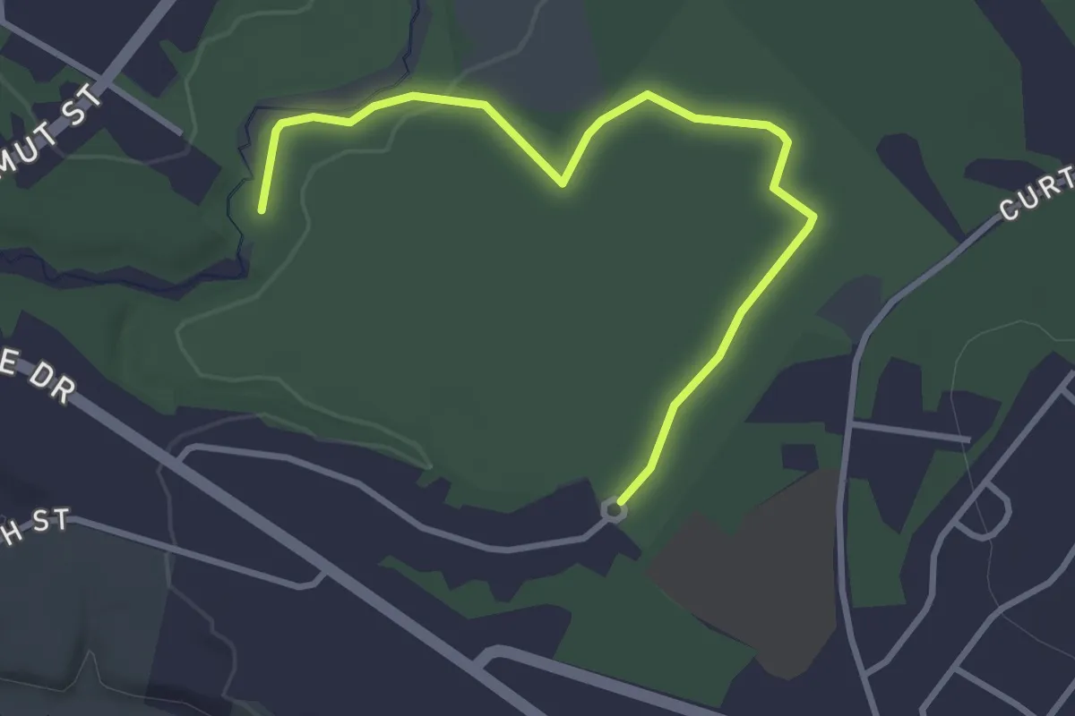
Easy · Trail
Red Trail (north)
3.6 km · ↑ 18 m · 53 min
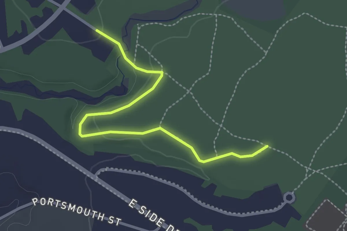
Easy · Trail
Red Trail (south)
2.9 km · ↑ 41 m · 46 min
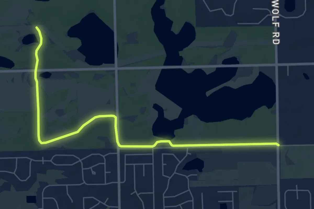
Easy · Trail
Red Unpaved Trail
7.9 km · ↑ 27 m · 1 h 55 min
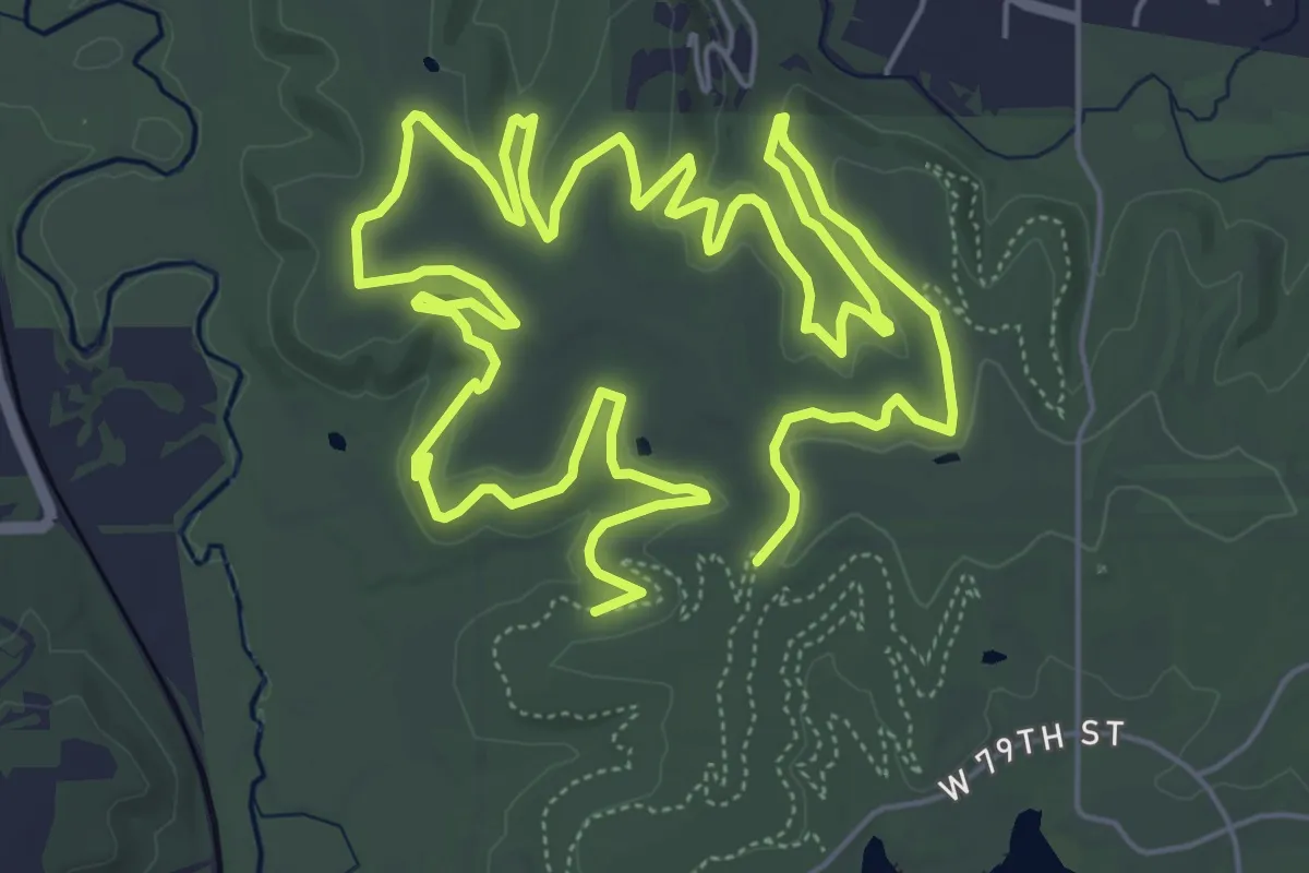
Medium · Trail
Red Valleys
14.8 km · ↑ 197 m · 3 h 55 min
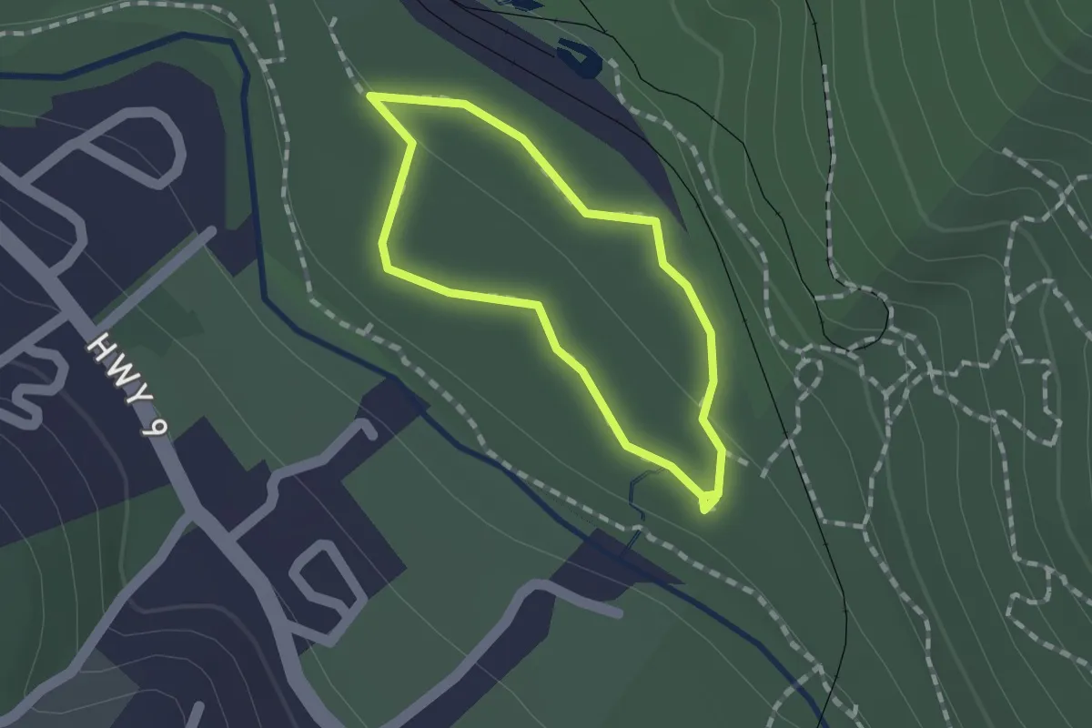
Easy · Trail
Redwood Grove Loop Trail
1.2 km · ↑ 4 m · 19 min
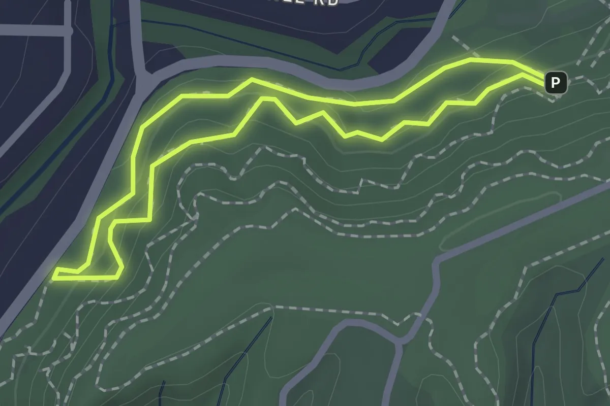
Easy · Trail
Redwood Lower Loop
1.8 km · ↑ 97 m · 40 min
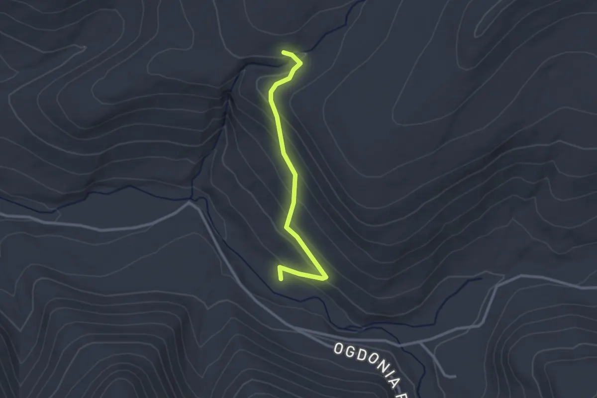
Easy · Trail
Red X Trail
2.6 km · ↑ 143 m · 56 min
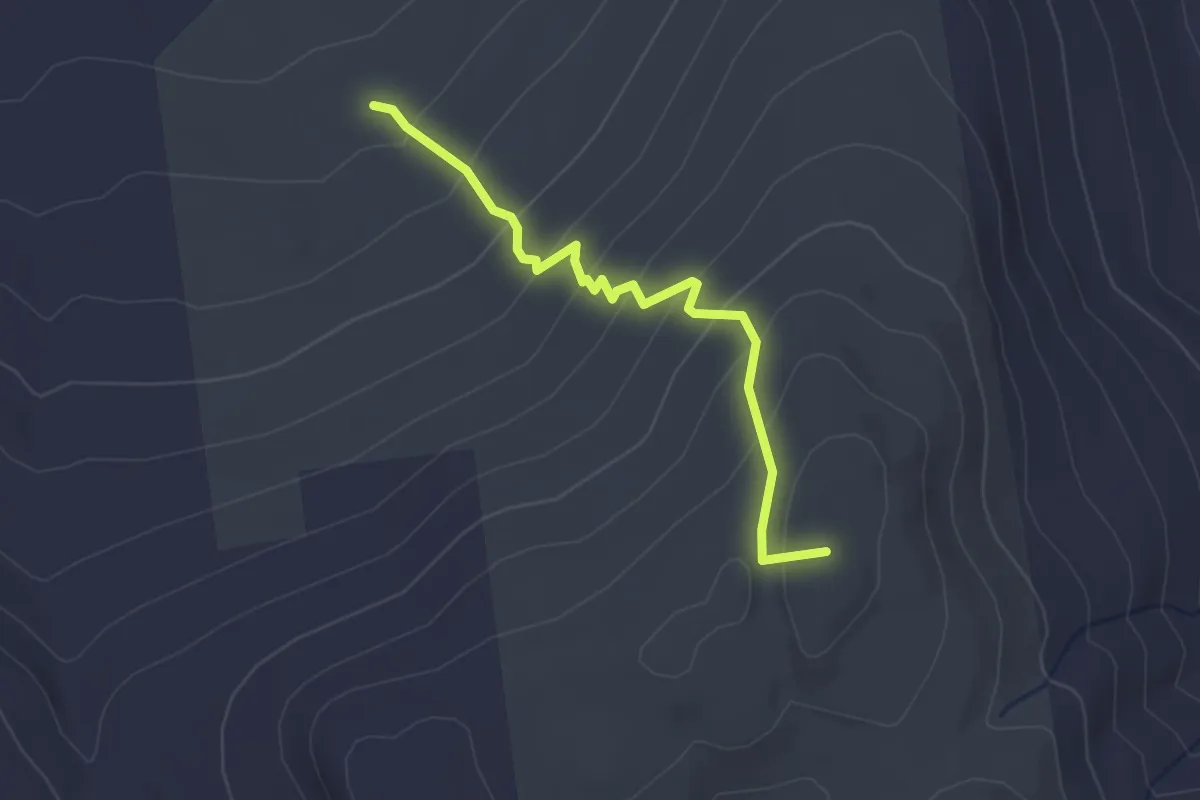
Easy · Summit
Reed Road Trail
2.9 km · ↑ 220 m · 1 h 10 min
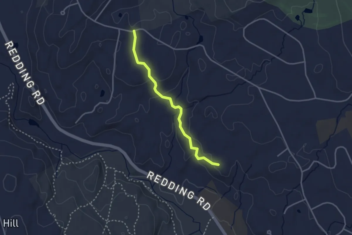
Easy · Trail
Reeve Biggers Trail
2.9 km · ↑ 99 m · 54 min
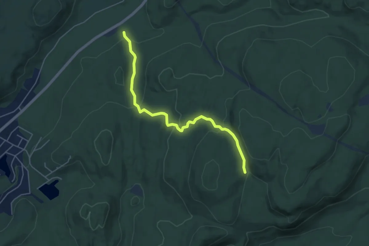
Easy · Trail
Reeves Brook Trail
4.9 km · ↑ 211 m · 1 h 37 min
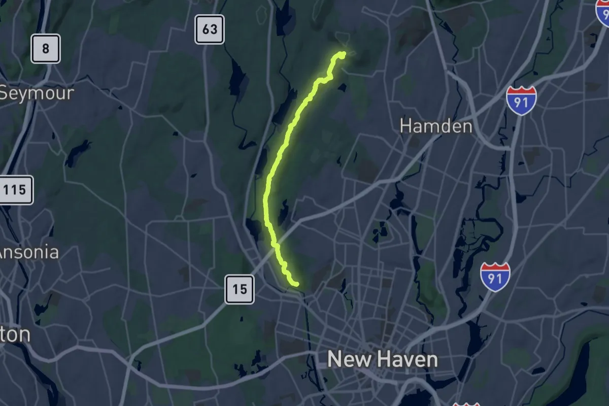
Demanding · Trail
Regicides Trail
21.6 km · ↑ 496 m · 6 h 10 min
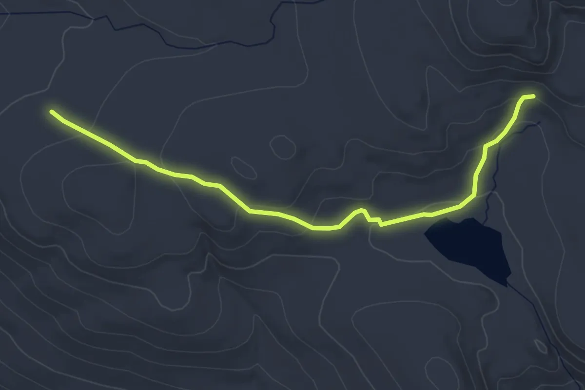
Easy · Trail
Remmel Cutoff Trail
4.6 km · ↑ 121 m · 1 h 21 min
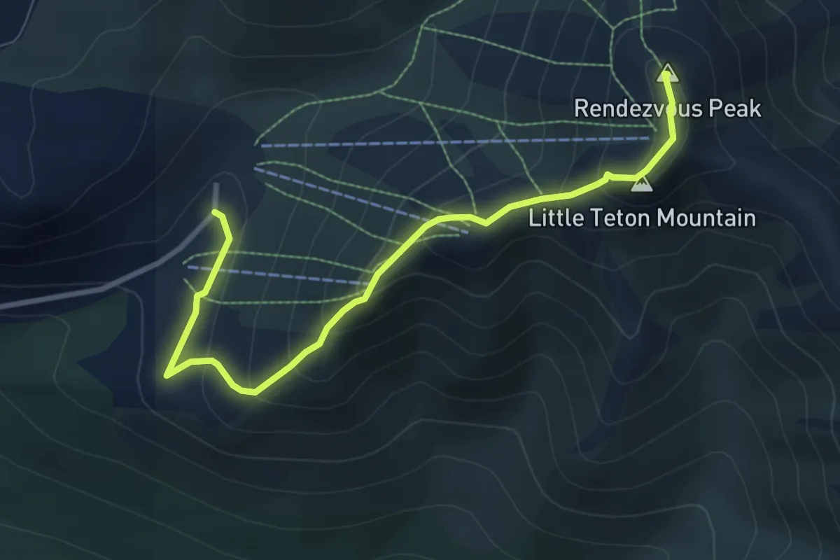
Medium · Summit
Rendezvous Peak from Arctic Valley
6.0 km · ↑ 484 m · 2 h 28 min
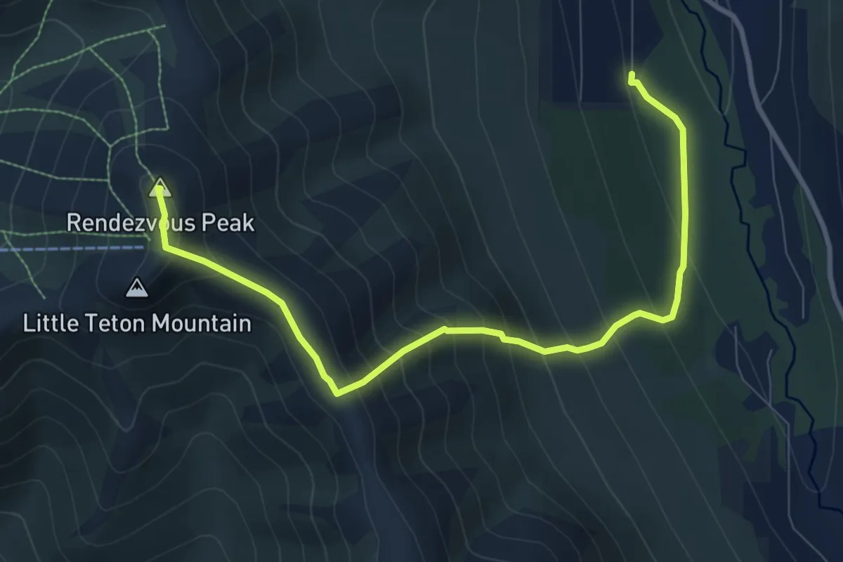
Medium · Summit
Rendezvous Peak from Hiland
7.0 km · ↑ 745 m · 3 h 16 min