Trails in United States
10,367 hiking trails, each with its route, climb, walking time and grade.
All trails, page 176 of 216
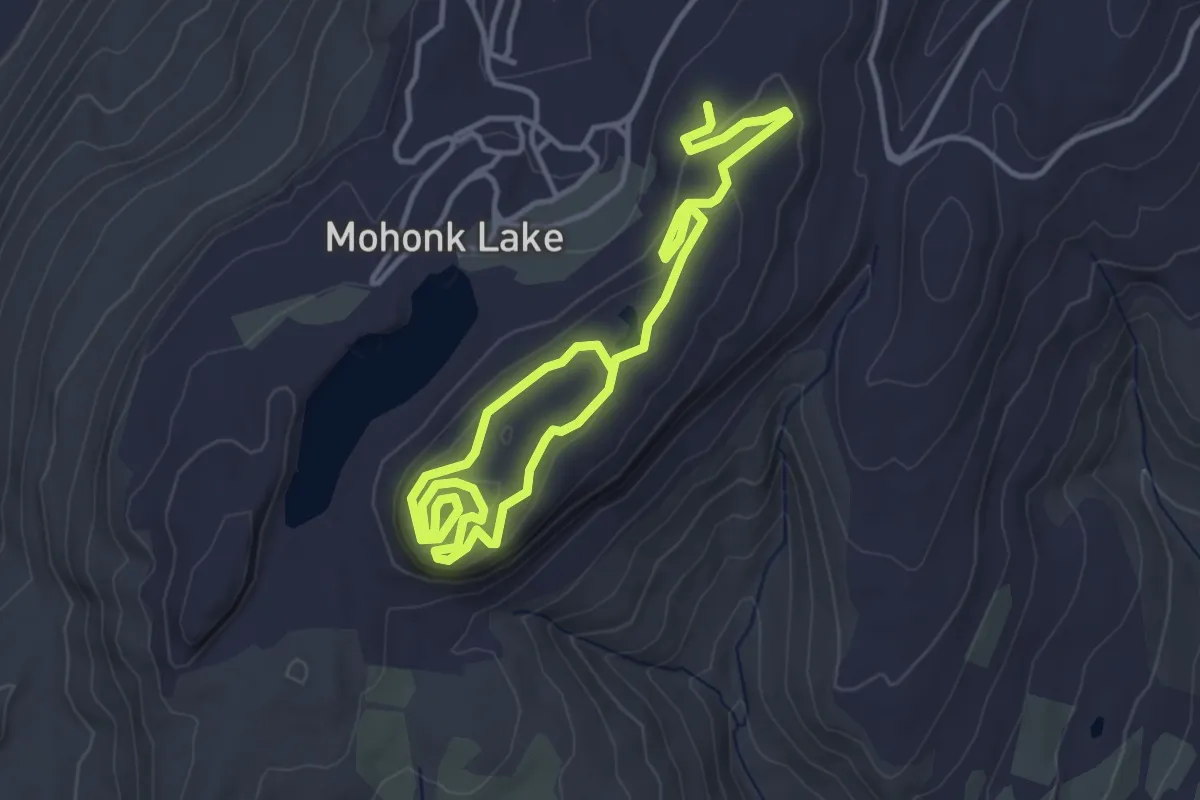
Easy · Trail
Skytop Road
6.4 km · ↑ 141 m · 1 h 49 min
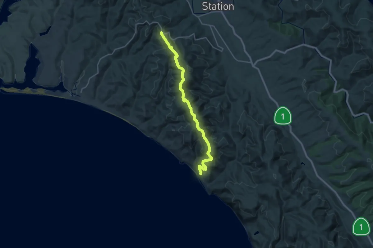
Demanding · Trail
Sky Trail
18.4 km · ↑ 606 m · 5 h 40 min
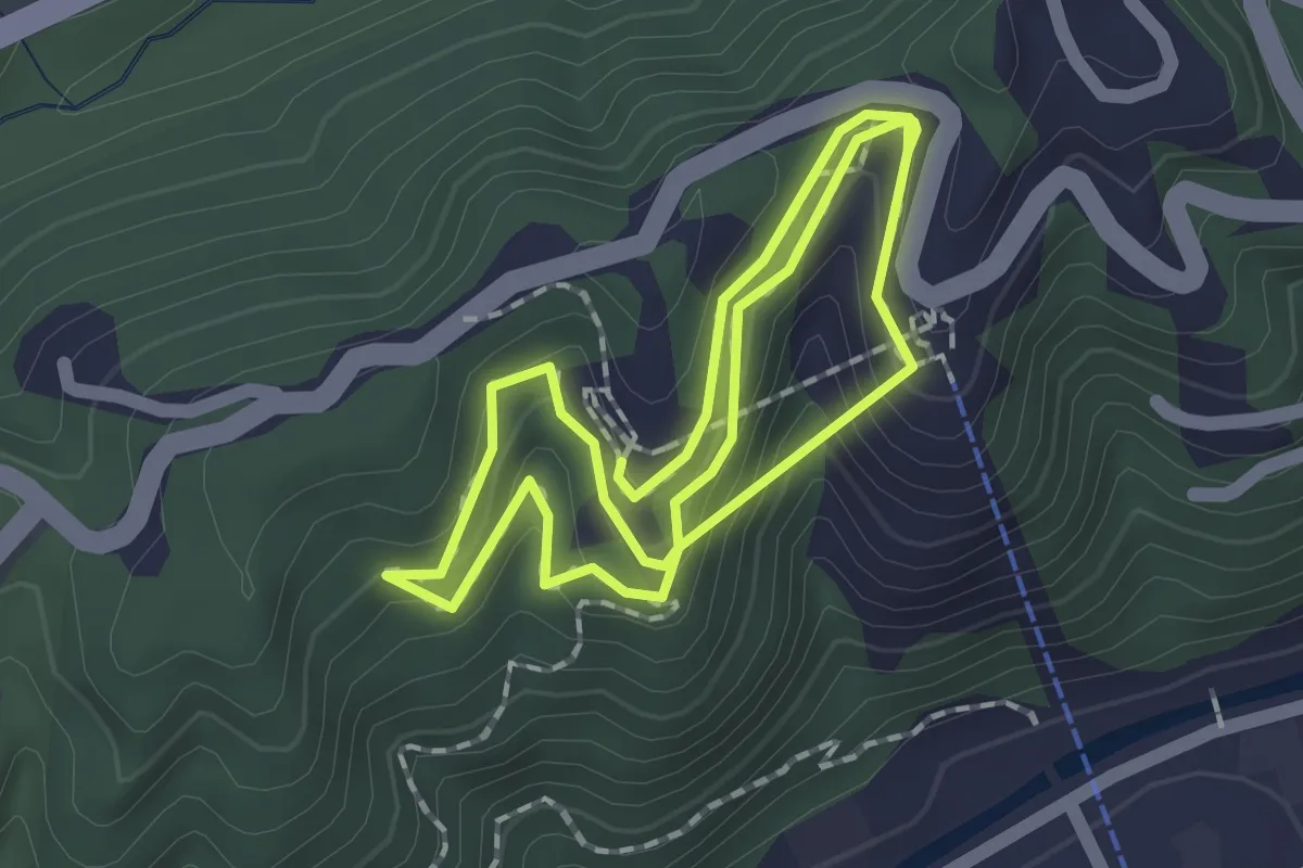
Easy · Trail
SkyTrail
4.0 km · ↑ 218 m · 1 h 24 min
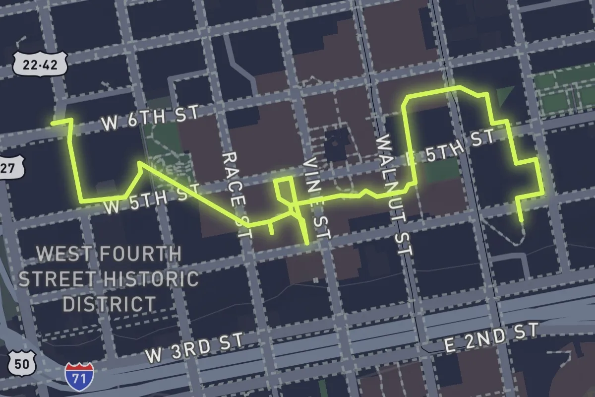
Easy · Trail
Skywalk
3.8 km · ↑ 0 m · 54 min
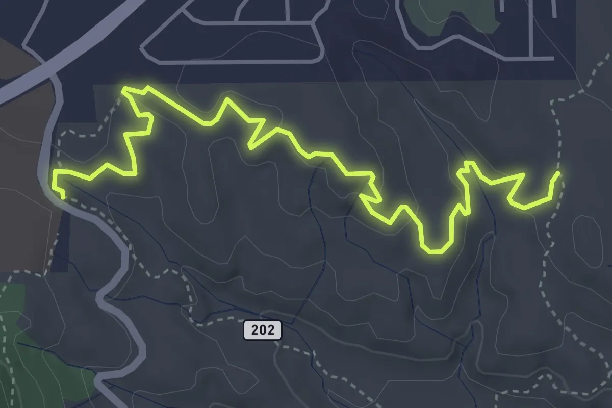
Easy · Trail
Skywalker #669
5.9 km · ↑ 143 m · 1 h 42 min
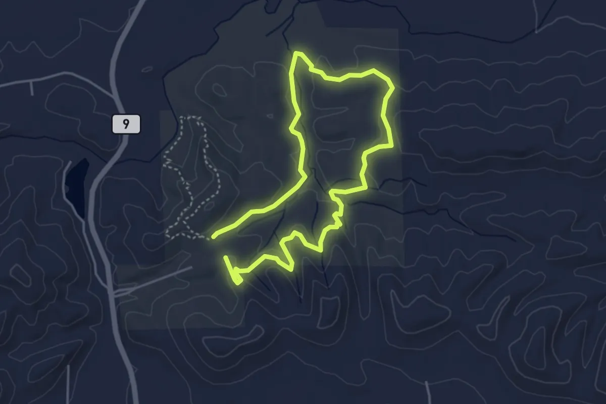
Easy · Trail
Slab Creek
4.0 km · ↑ 117 m · 1 h 16 min
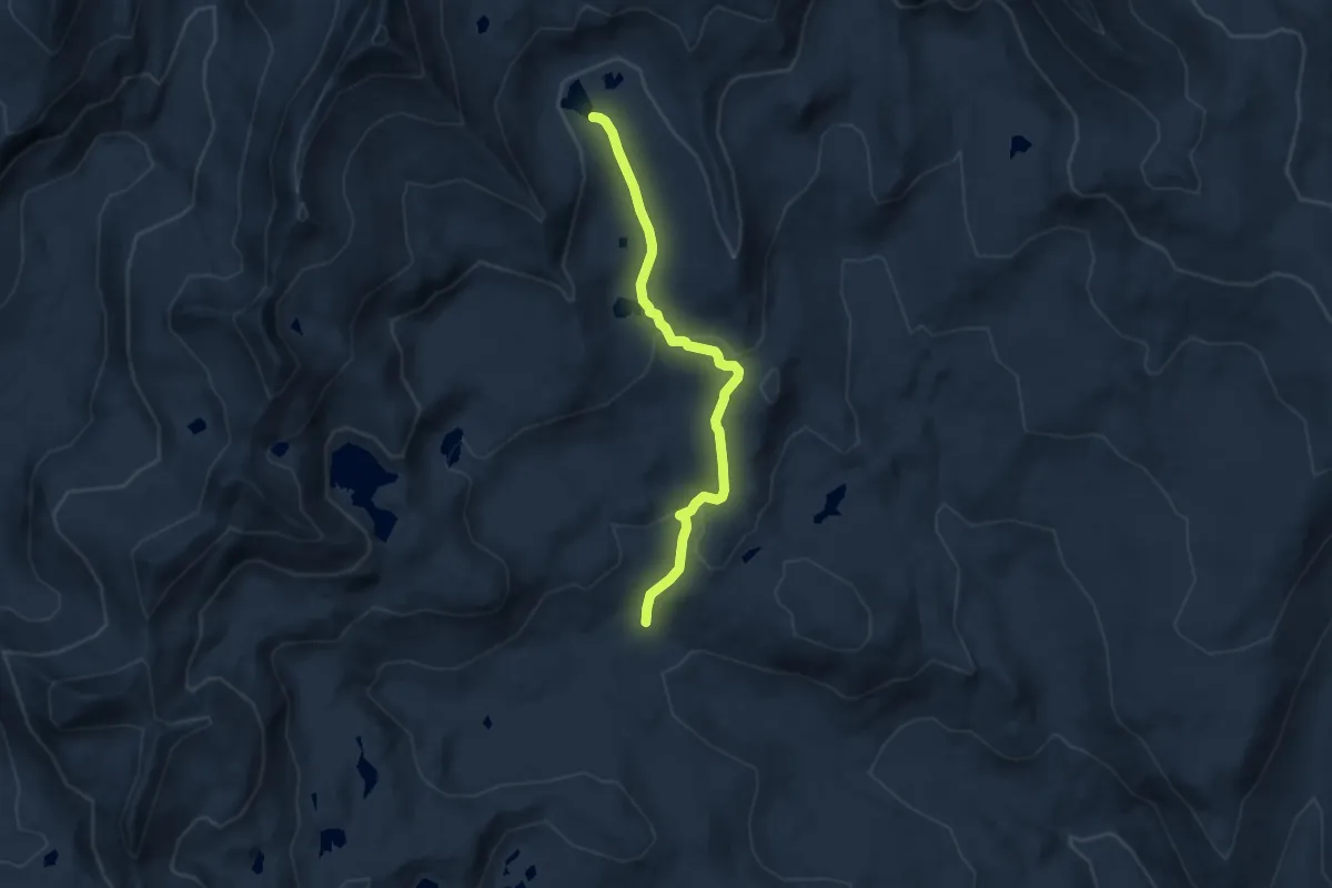
Easy · Trail
Slab Lake Trail
7.1 km · ↑ 262 m · 2 h 14 min
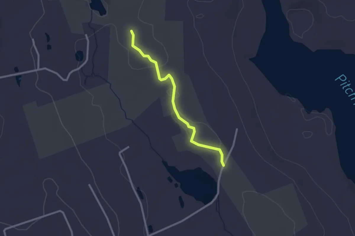
Easy · Trail
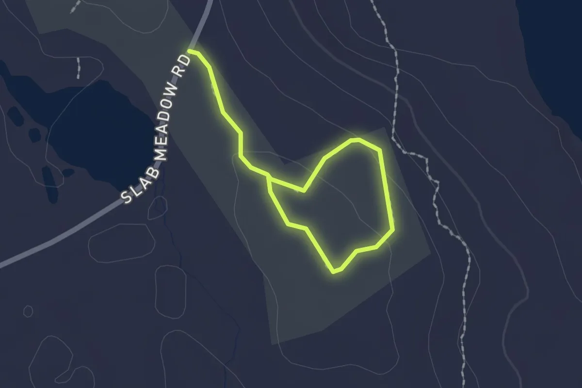
Slab Meadow North Trail
2.3 km · ↑ 31 m · 37 min
Easy · Trail
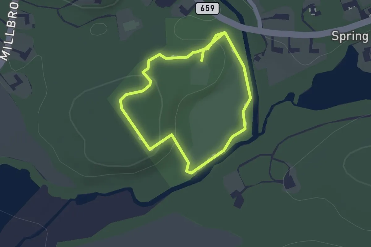
Slab Meadow South Loop
2.2 km · ↑ 10 m · 33 min
Easy · Trail
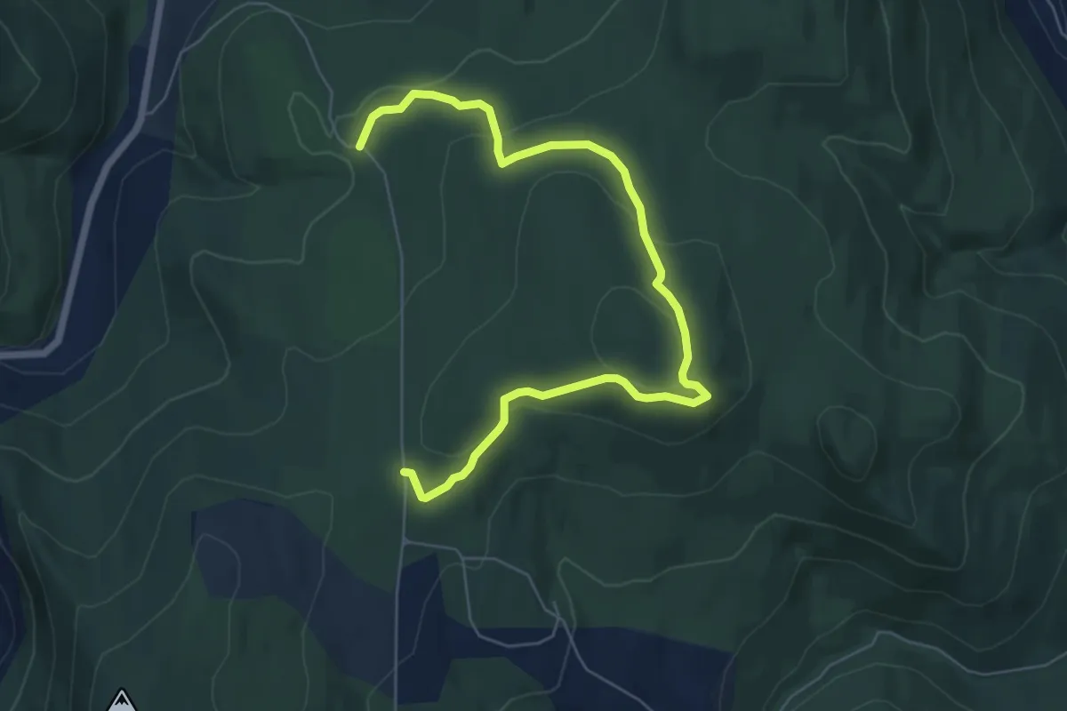
Slabtown Park
1.2 km · ↑ 34 m · 23 min
Easy · Trail
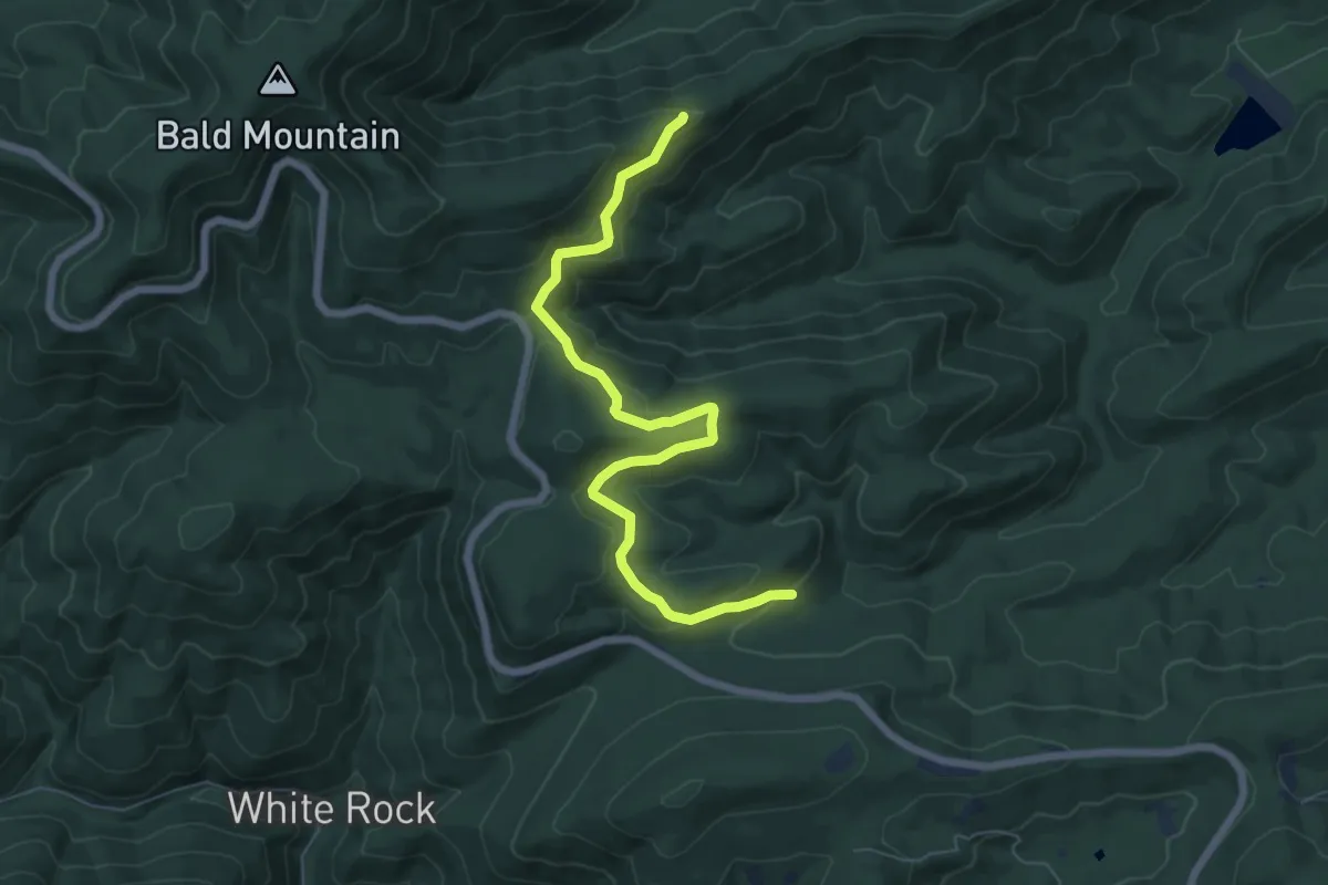
Slack Hill Trail
7.7 km · ↑ 251 m · 2 h 21 min
Easy · Trail
Slacks Overlook Trail
8.0 km · ↑ 281 m · 2 h 30 min
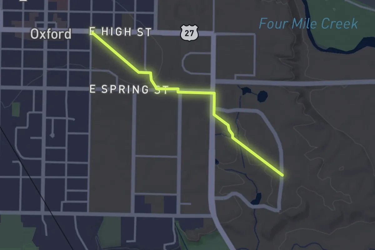
Easy · Trail
Slant Walk
3.2 km · ↑ 35 m · 50 min
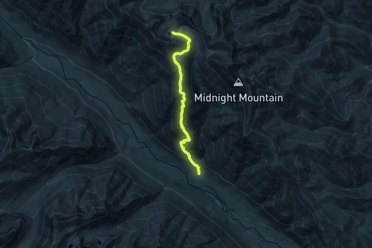
Demanding · Trail
Slate Lake Trail
14.9 km · ↑ 1382 m · 6 h 31 min
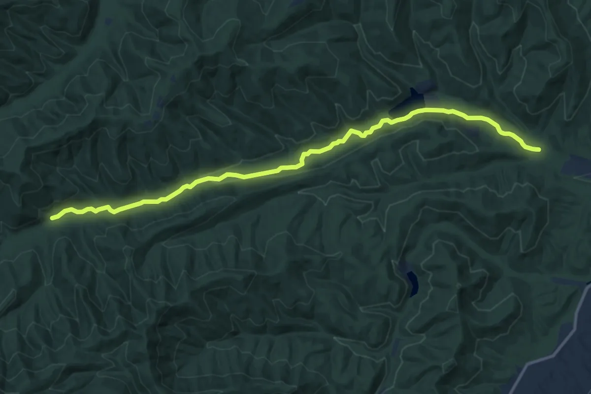
Medium · Trail
Slate Lick Trail
13.4 km · ↑ 159 m · 3 h 30 min
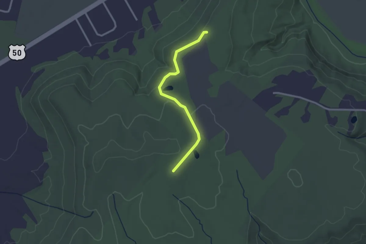
Easy · Trail
Slate Mills Spur Trail
2.4 km · ↑ 39 m · 40 min
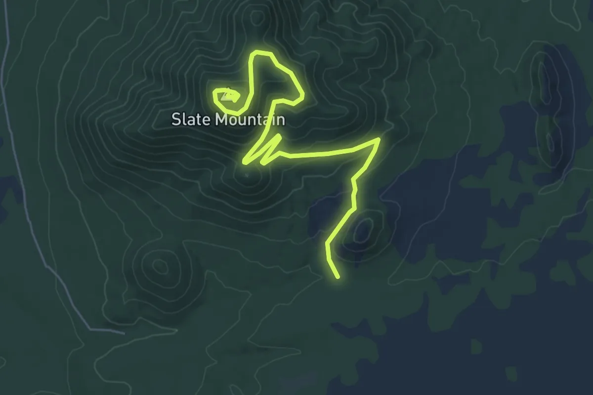
Easy · Summit
Slate Mountain Trail #128
7.1 km · ↑ 254 m · 2 h 13 min
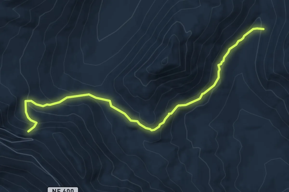
Medium · Trail
Slate Pass Trail
7.8 km · ↑ 467 m · 2 h 51 min
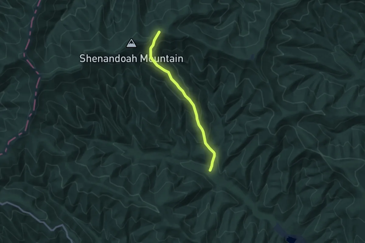
Medium · Trail
Slate Springs Trail
7.1 km · ↑ 603 m · 2 h 59 min
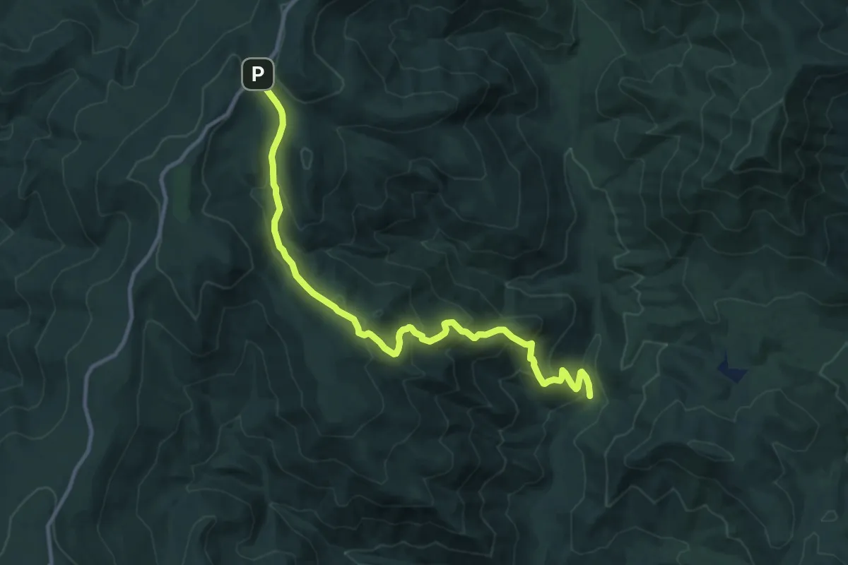
Medium · Trail
Slaughter Trail
12.7 km · ↑ 712 m · 4 h 33 min
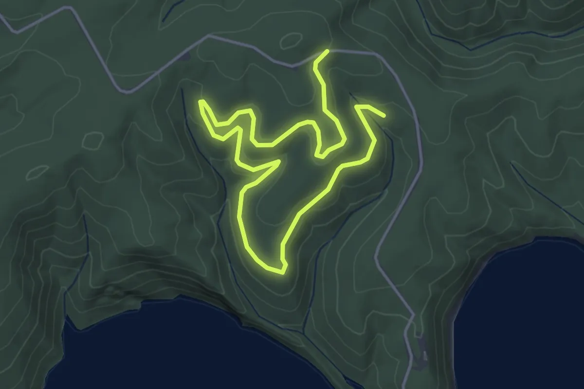
Easy · Trail
Sleek Dog Trail
6.7 km · ↑ 123 m · 1 h 51 min
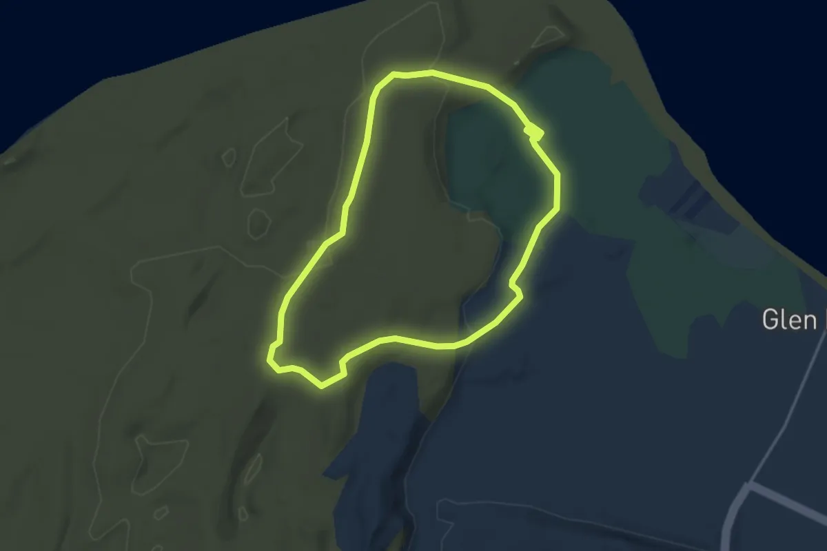
Easy · Trail
Sleeping Bear Point Trail
3.5 km · ↑ 71 m · 1 h 1 min
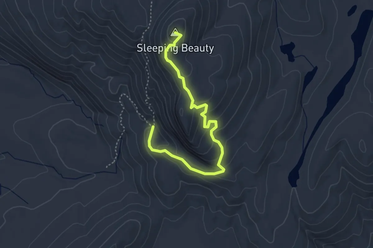
Easy · Summit
Sleeping Beauty Trail
4.5 km · ↑ 205 m · 1 h 31 min
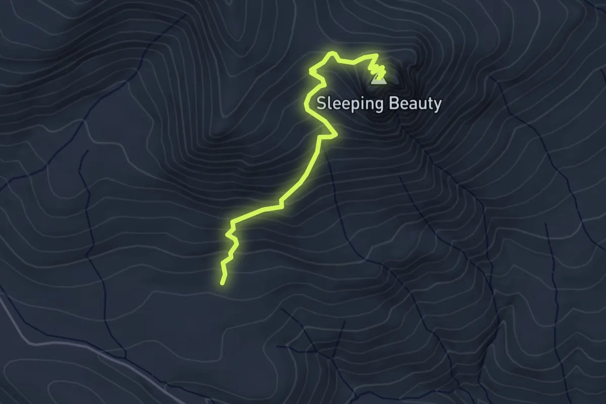
Medium · Summit
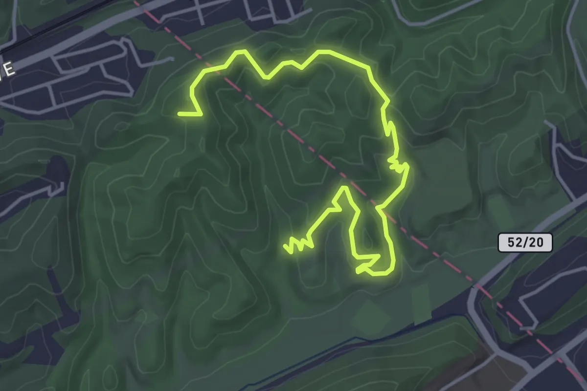
Sleeping Beauty Trail #37
3.9 km · ↑ 424 m · 1 h 50 min
Easy · Trail
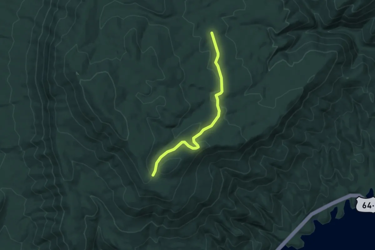
Sleeping Wolf Trail
5.8 km · ↑ 193 m · 1 h 47 min
Easy · Trail
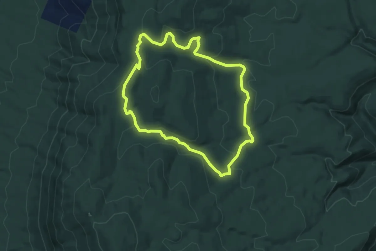
Slickrock Branch Road
4.6 km · ↑ 120 m · 1 h 20 min
Easy · Trail
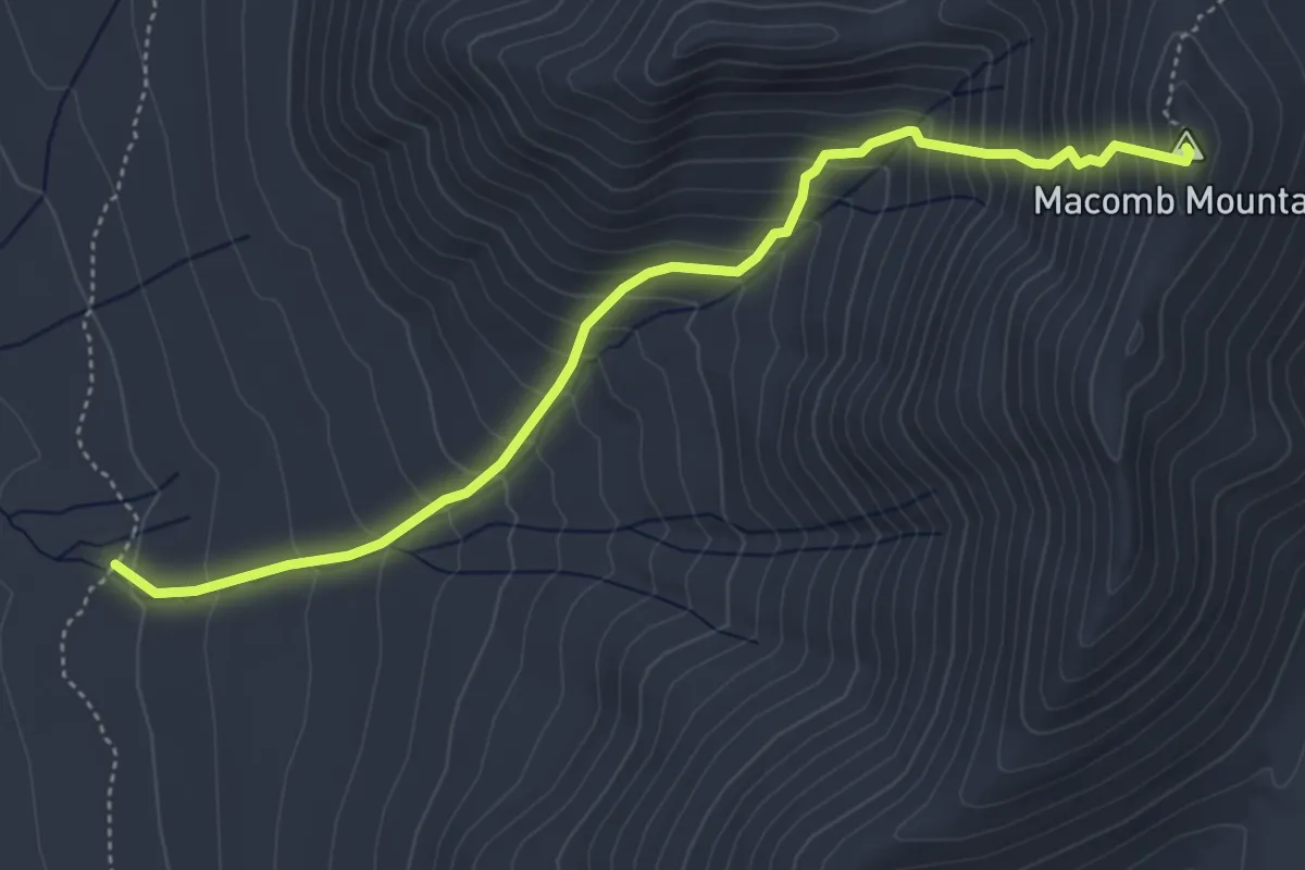
Slickrock Loop Trail
4.7 km · ↑ 145 m · 1 h 30 min
Medium · Summit
Slide Brook Trail
5.1 km · ↑ 635 m · 2 h 35 min
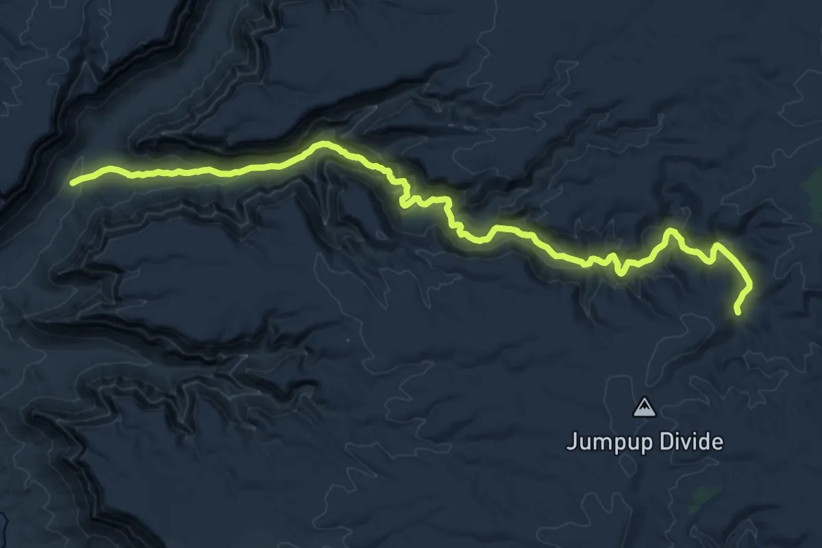
Demanding · Trail
Slide Canyon Trail #58
24.9 km · ↑ 542 m · 7 h 3 min
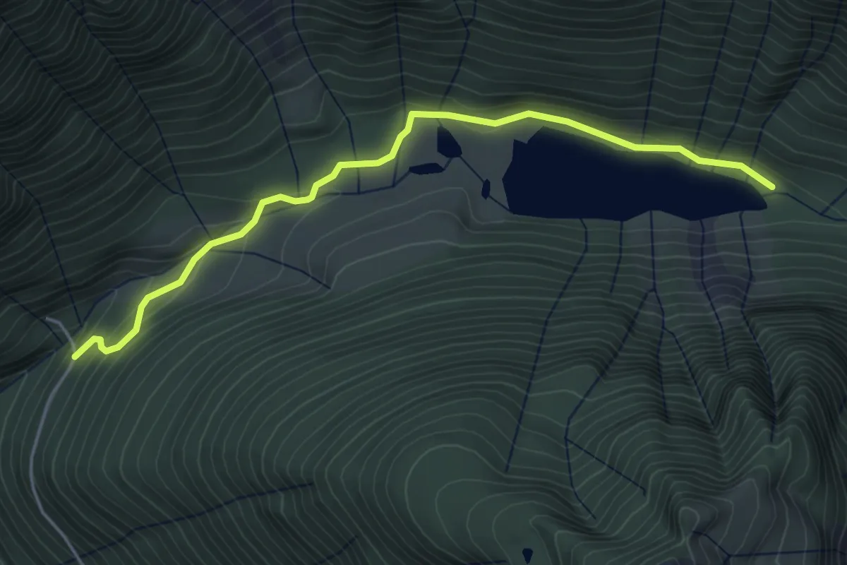
Easy · Trail
Slide Lake Trail
4.8 km · ↑ 175 m · 1 h 30 min
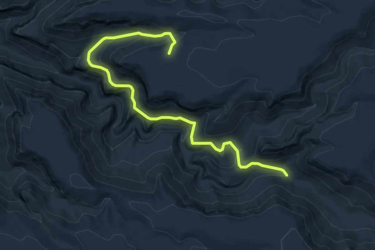
Medium · Trail
Slide Spring Trail #11
7.2 km · ↑ 367 m · 2 h 30 min
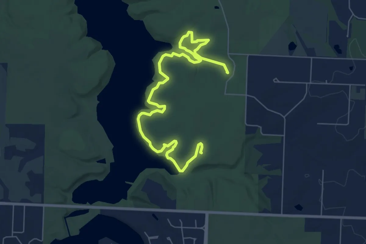
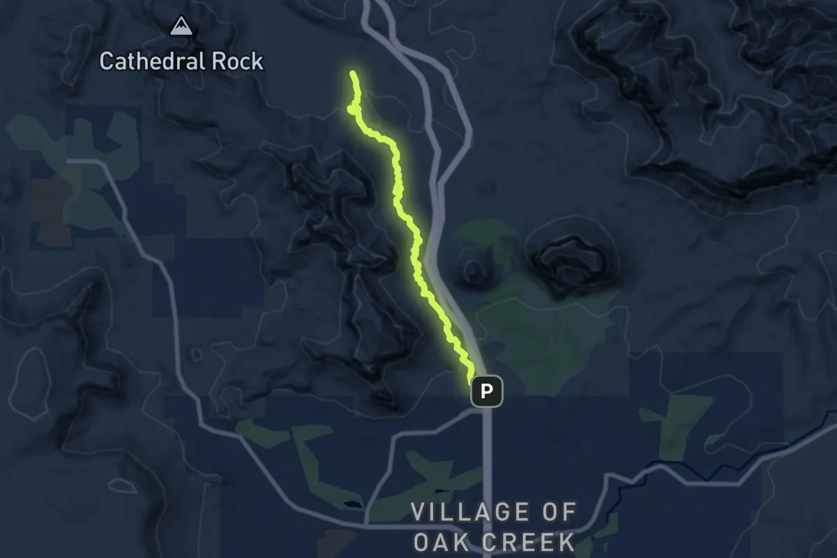
Medium · Trail
Slim Jim
9.0 km · ↑ 190 m · 2 h 33 min
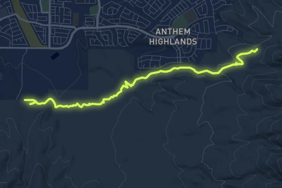
Easy · Trail
Slim Shady #173
7.9 km · ↑ 162 m · 2 h 13 min
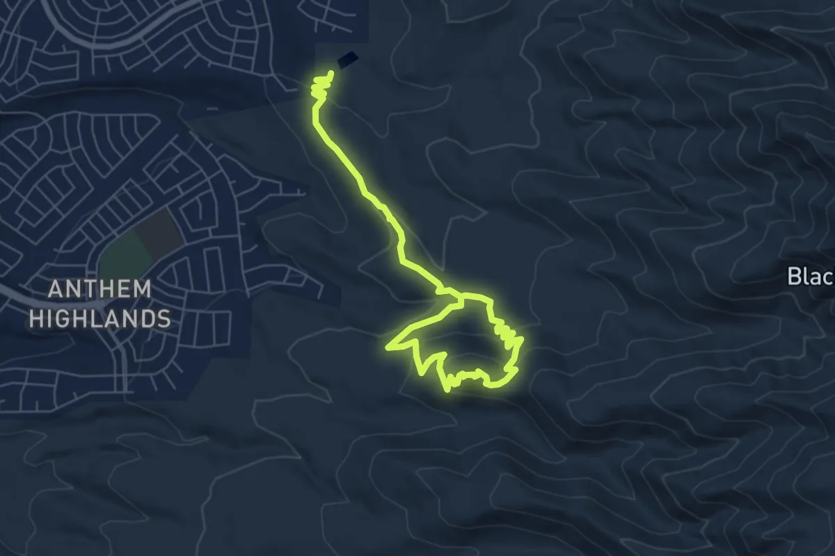
Medium · Trail
Sloan 101 Trail
12.2 km · ↑ 242 m · 3 h 25 min
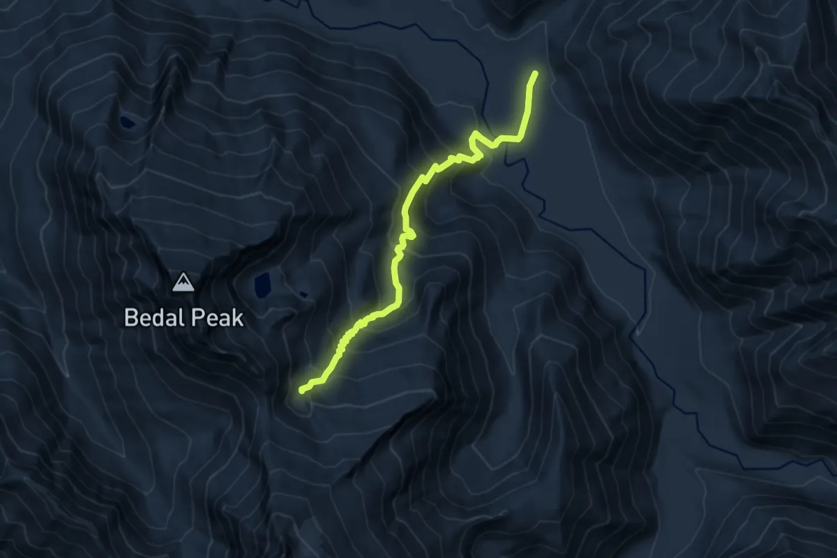
Medium · Trail
Sloan 403 Trail
9.8 km · ↑ 398 m · 3 h 11 min
Demanding · Trail
Sloan Peak Trail
10.3 km · ↑ 886 m · 4 h 21 min
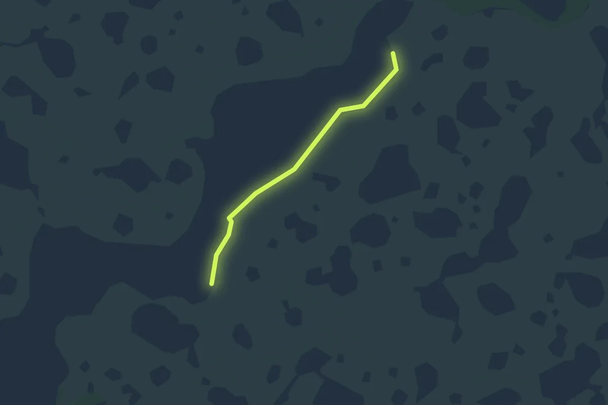
Easy · Trail
Slough Crosstrail
4.2 km · ↑ 0 m · 1 h
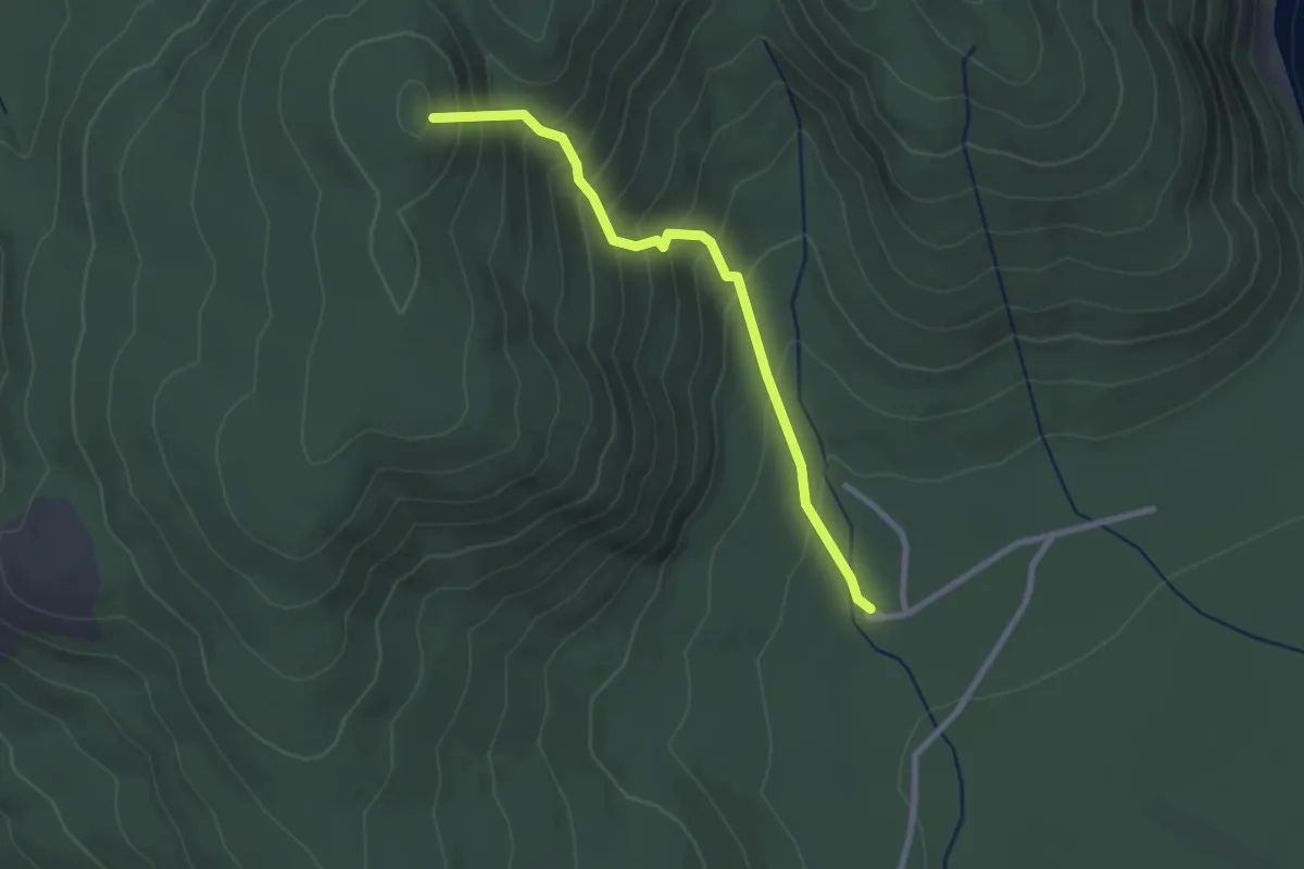
Easy · Summit
Sluceway Trail
2.6 km · ↑ 273 m · 1 h 12 min
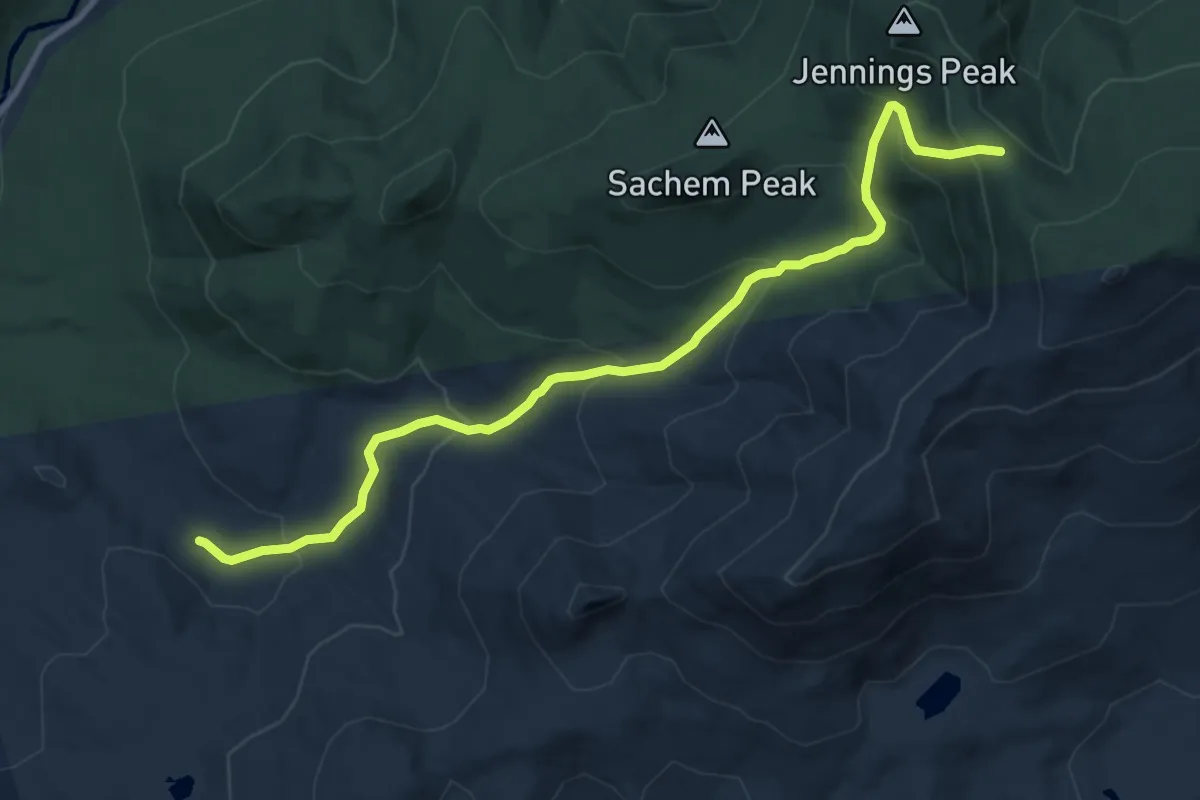
Medium · Trail
Smarts Brook Trail
11.1 km · ↑ 659 m · 4 h 3 min
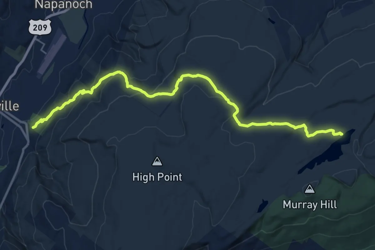
Demanding · Trail
Smiley Carriageway
21.8 km · ↑ 646 m · 6 h 33 min
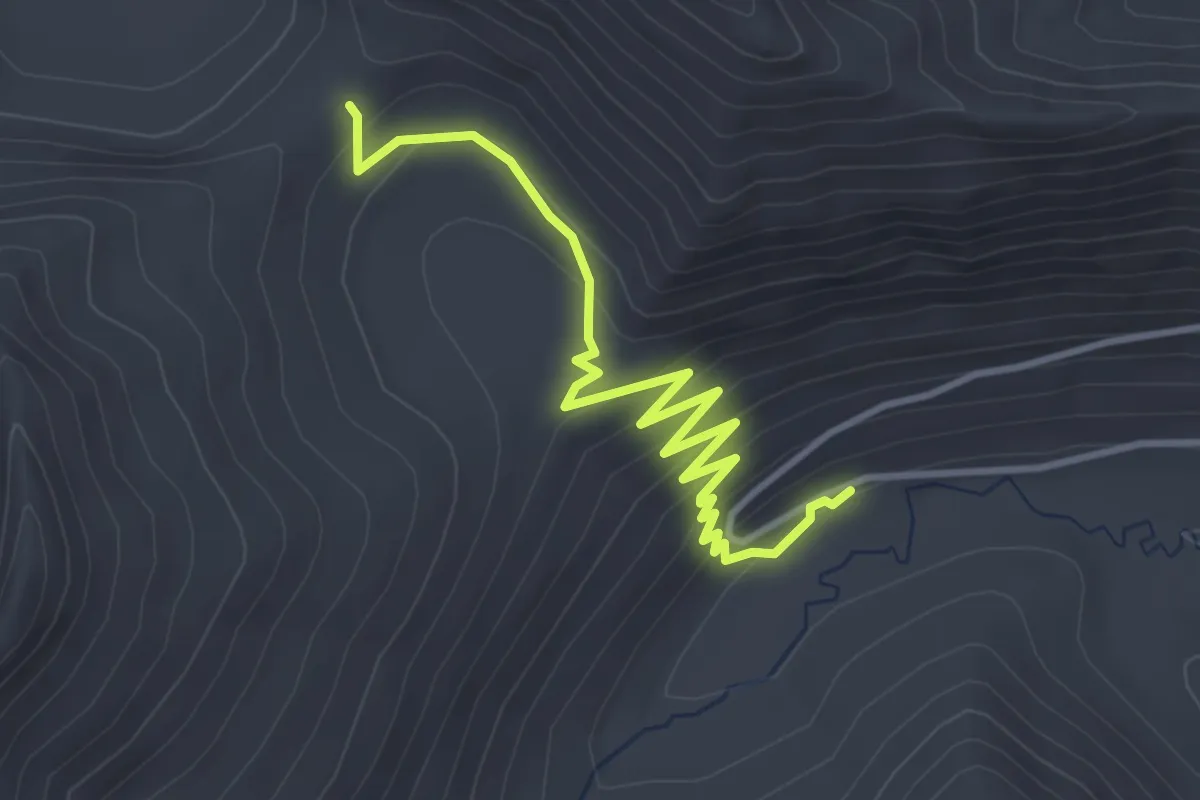
Easy · Trail
Smithbrook Trail
4.0 km · ↑ 208 m · 1 h 24 min
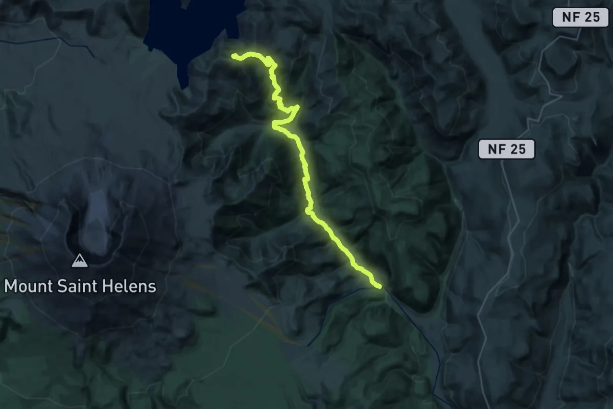
Demanding · Summit
Smith Creek Trail
29.1 km · ↑ 1085 m · 9 h 13 min
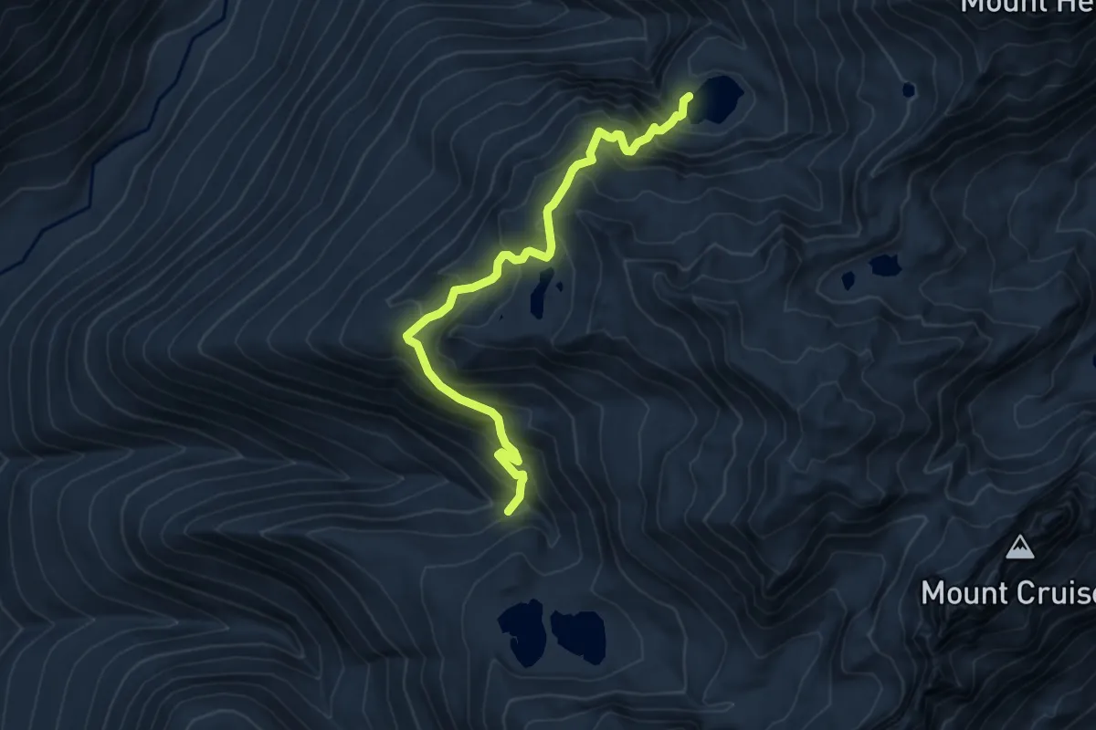
Medium · Trail
Smith Lake Primitive Trail
6.4 km · ↑ 614 m · 2 h 51 min
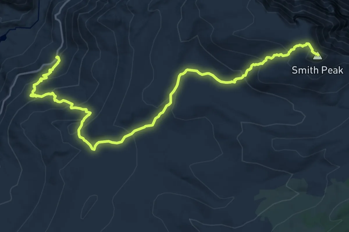
Demanding · Summit
Smith Peak Trail
20.4 km · ↑ 1082 m · 7 h 9 min
Easy · Trail
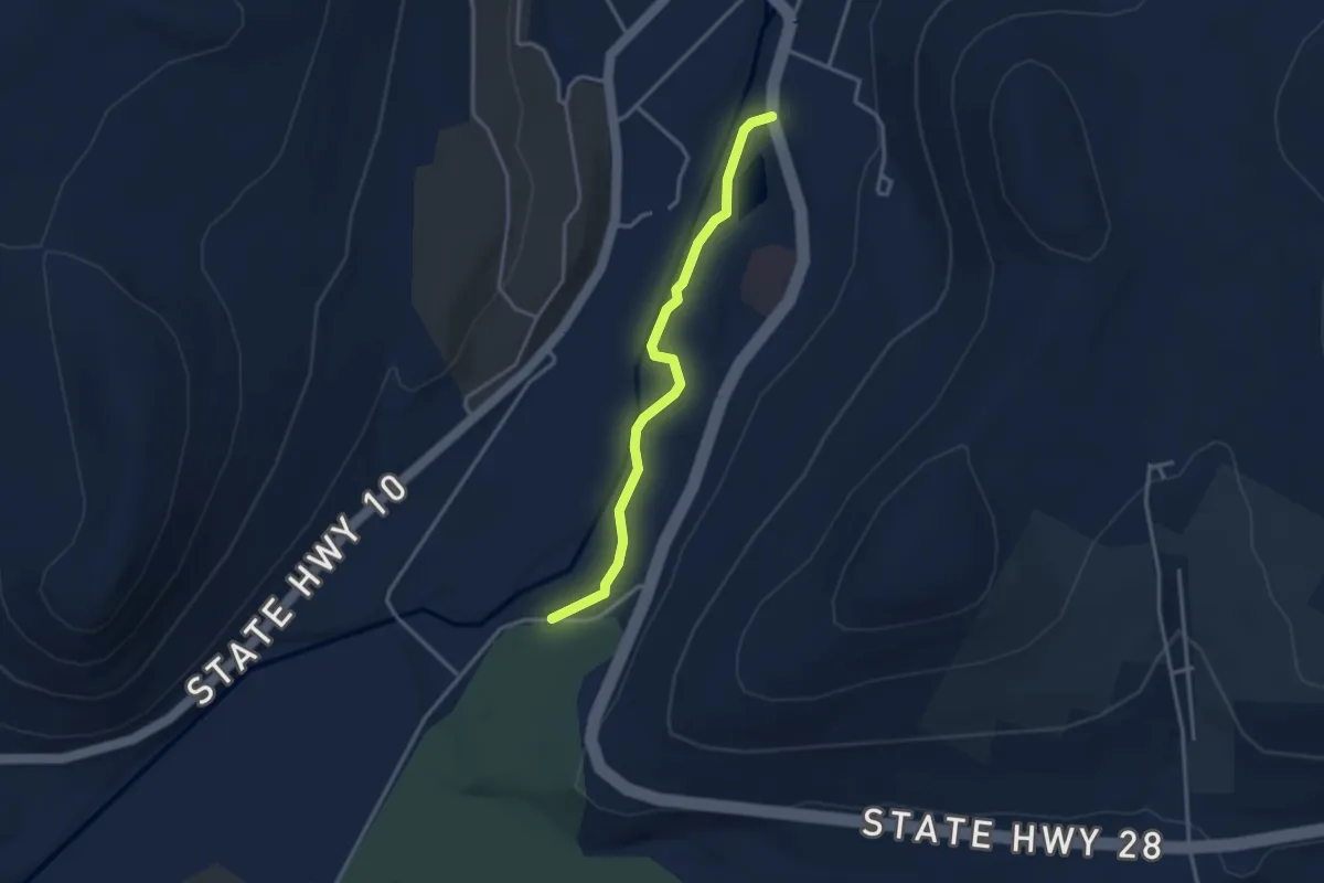
Smith Pond Trail
3.3 km · ↑ 34 m · 52 min
Easy · Trail
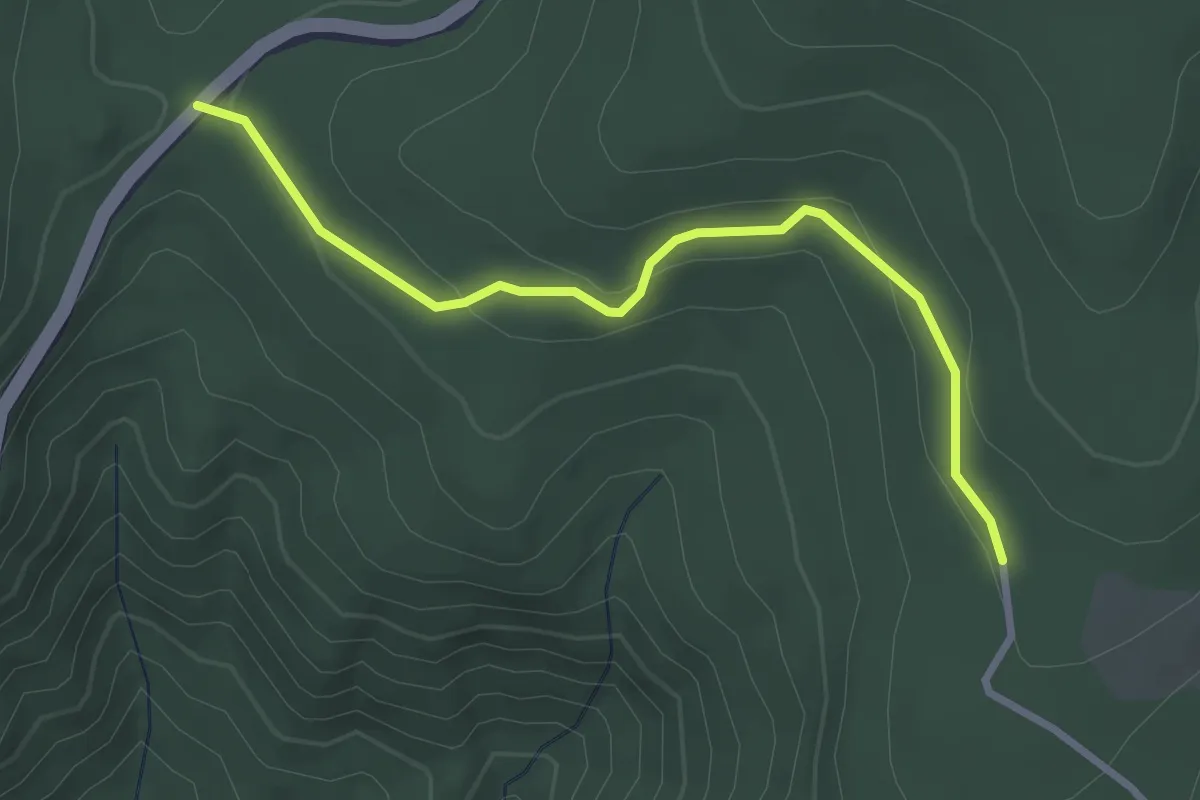
Smith Roach Gap Fire Road
3.4 km · ↑ 91 m · 59 min
Easy · Trail
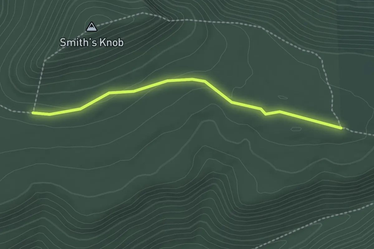
Smith's Knob Bypass Trail
2.4 km · ↑ 28 m · 38 min
Easy · Trail
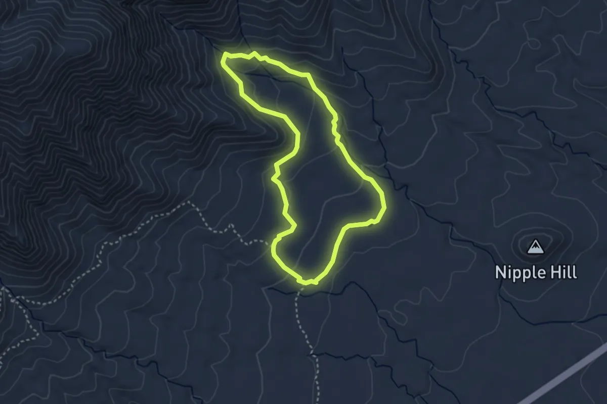
Smith Springs Trail
3.7 km · ↑ 118 m · 1 h 10 min