Trails in United States
10,367 hiking trails, each with its route, climb, walking time and grade.
All trails, page 187 of 216
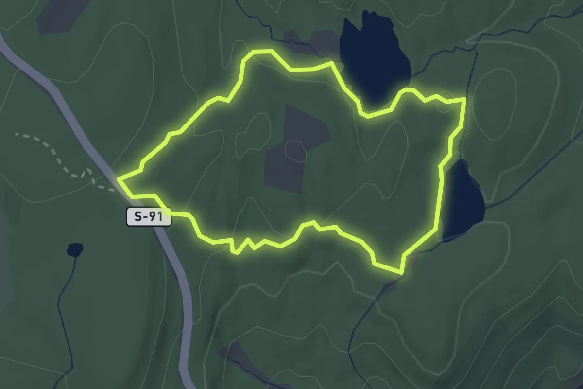
Easy · Trail
Tamarack Loop
2.6 km · ↑ 77 m · 49 min
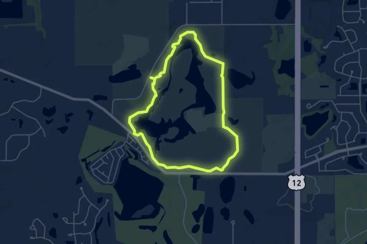
Easy · Trail
Tamarack View Trail
4.7 km · ↑ 19 m · 1 h 12 min
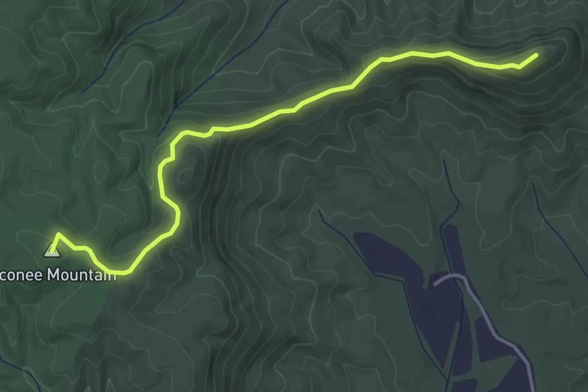
Easy · Summit
Tamassee Knob Trail
4.7 km · ↑ 230 m · 1 h 37 min
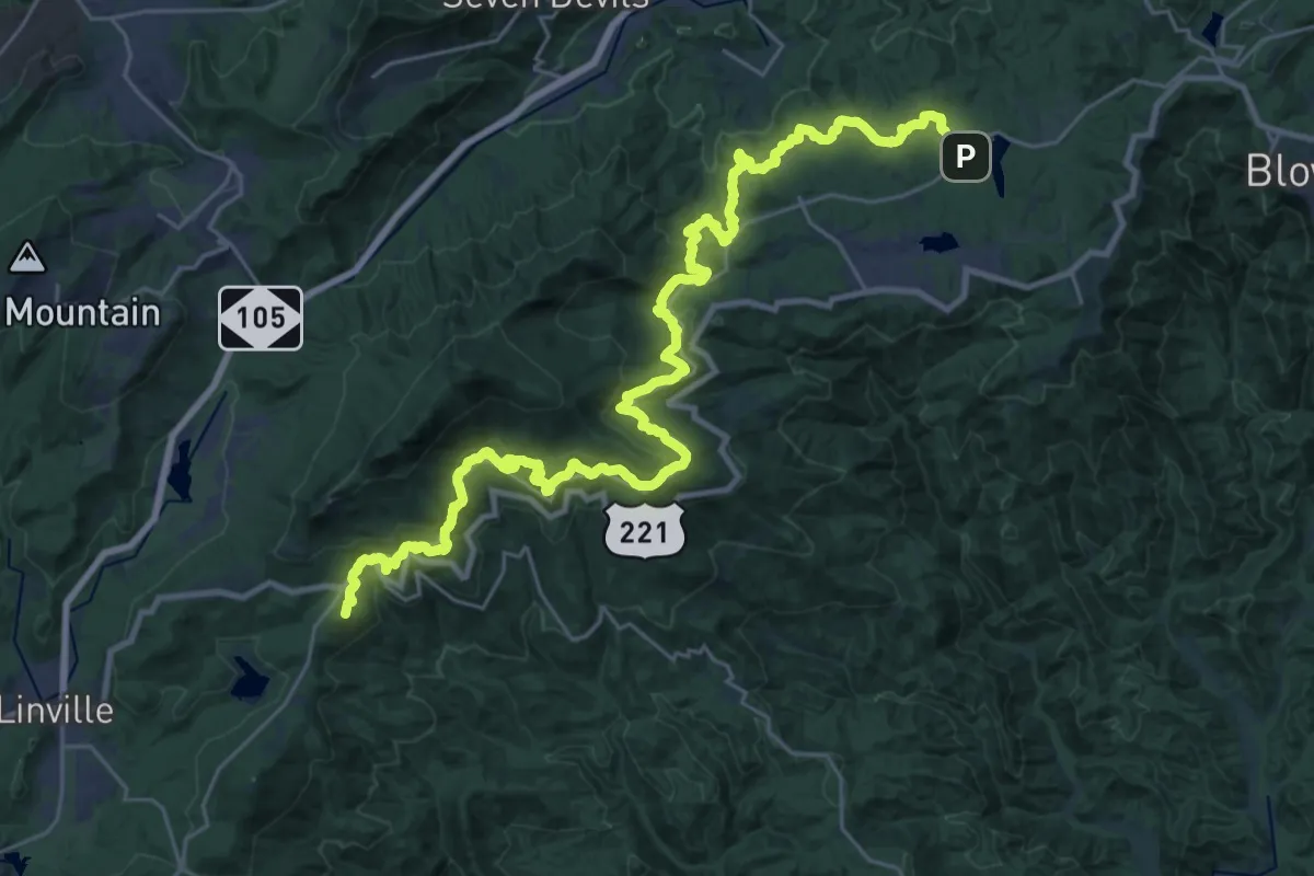
Demanding · Summit
Tanawha Trail
40.7 km · ↑ 1251 m · 12 h 19 min
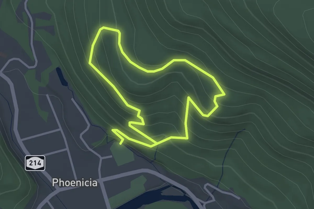
Easy · Trail
Tanbark Trail
2.7 km · ↑ 204 m · 1 h 6 min
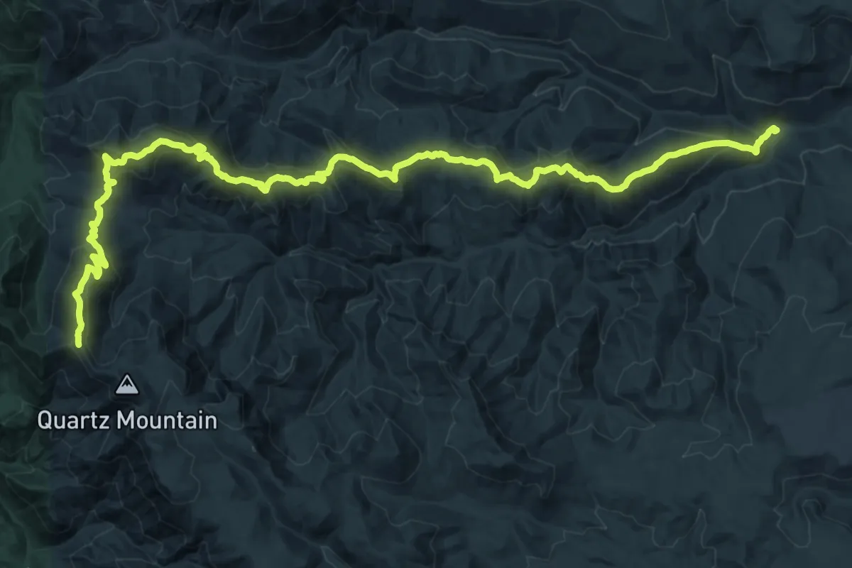
Demanding · Trail
Taneum Ridge Trail
19.3 km · ↑ 1509 m · 7 h 37 min
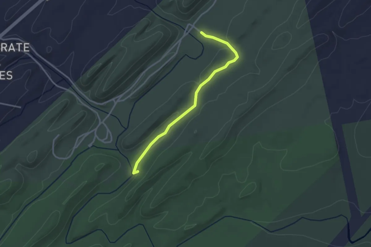
Easy · Trail
Tannehill Tramway
3.3 km · ↑ 31 m · 51 min
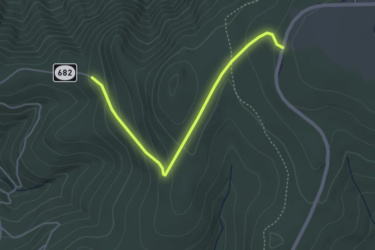
Easy · Trail
Tanners Ridge Road
4.4 km · ↑ 159 m · 1 h 23 min
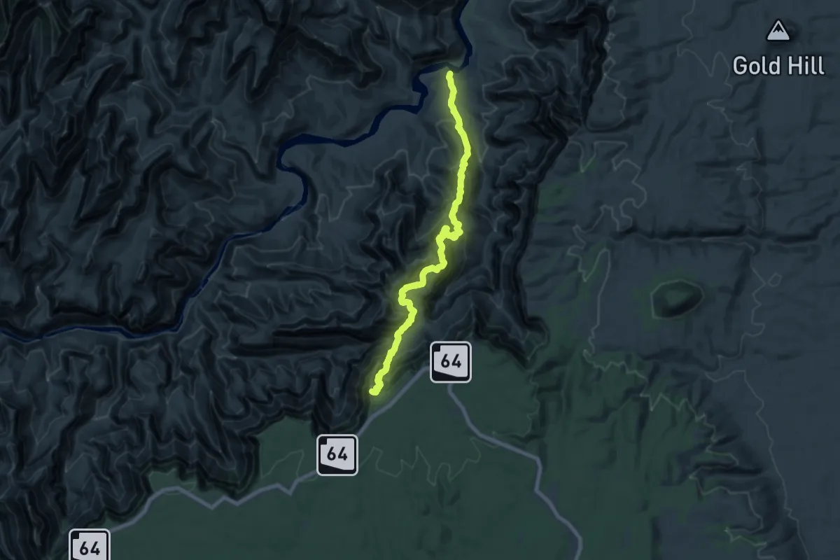
Medium · Trail
Tanner Trail
11.0 km · ↑ 147 m · 3 h 47 min
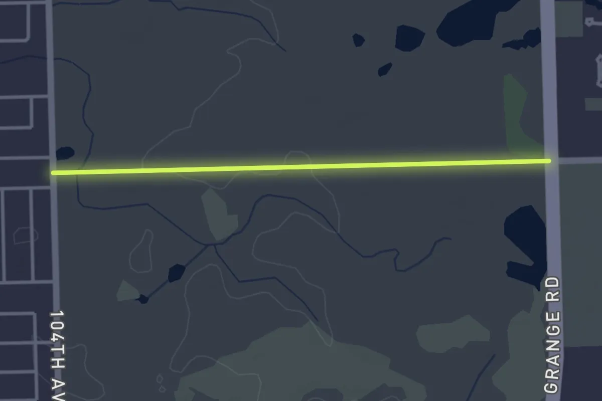
Easy · Trail
Tan Primitive Trail
3.2 km · ↑ 19 m · 48 min
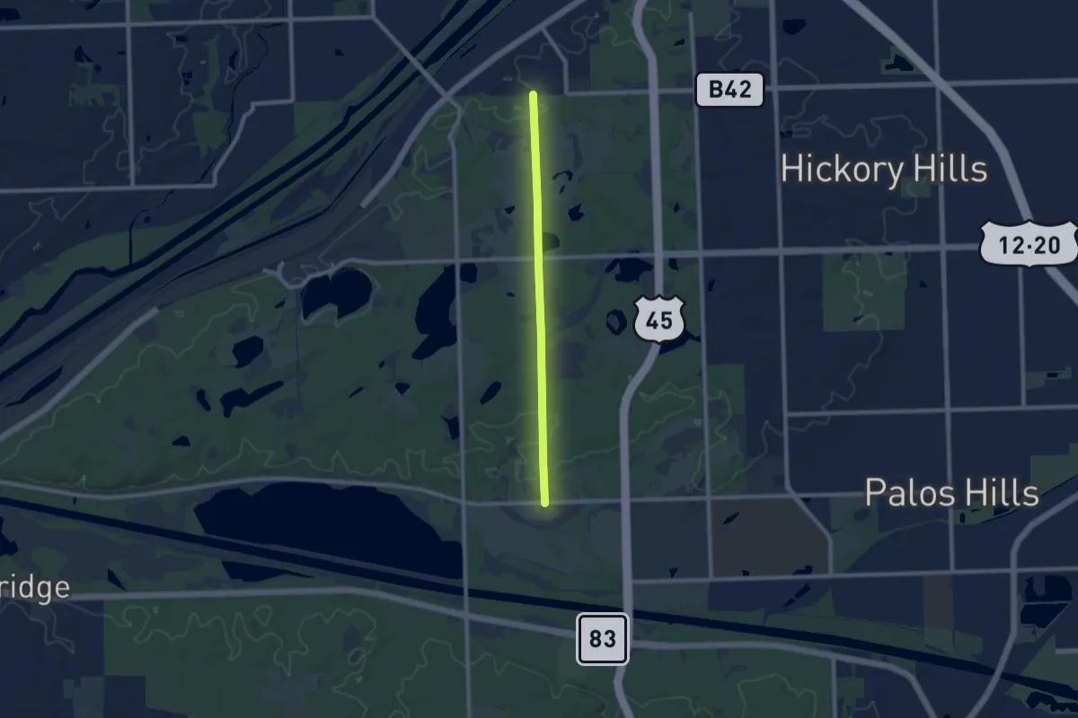
Medium · Trail
Tan Trail
8.1 km · ↑ 87 m · 2 h 6 min
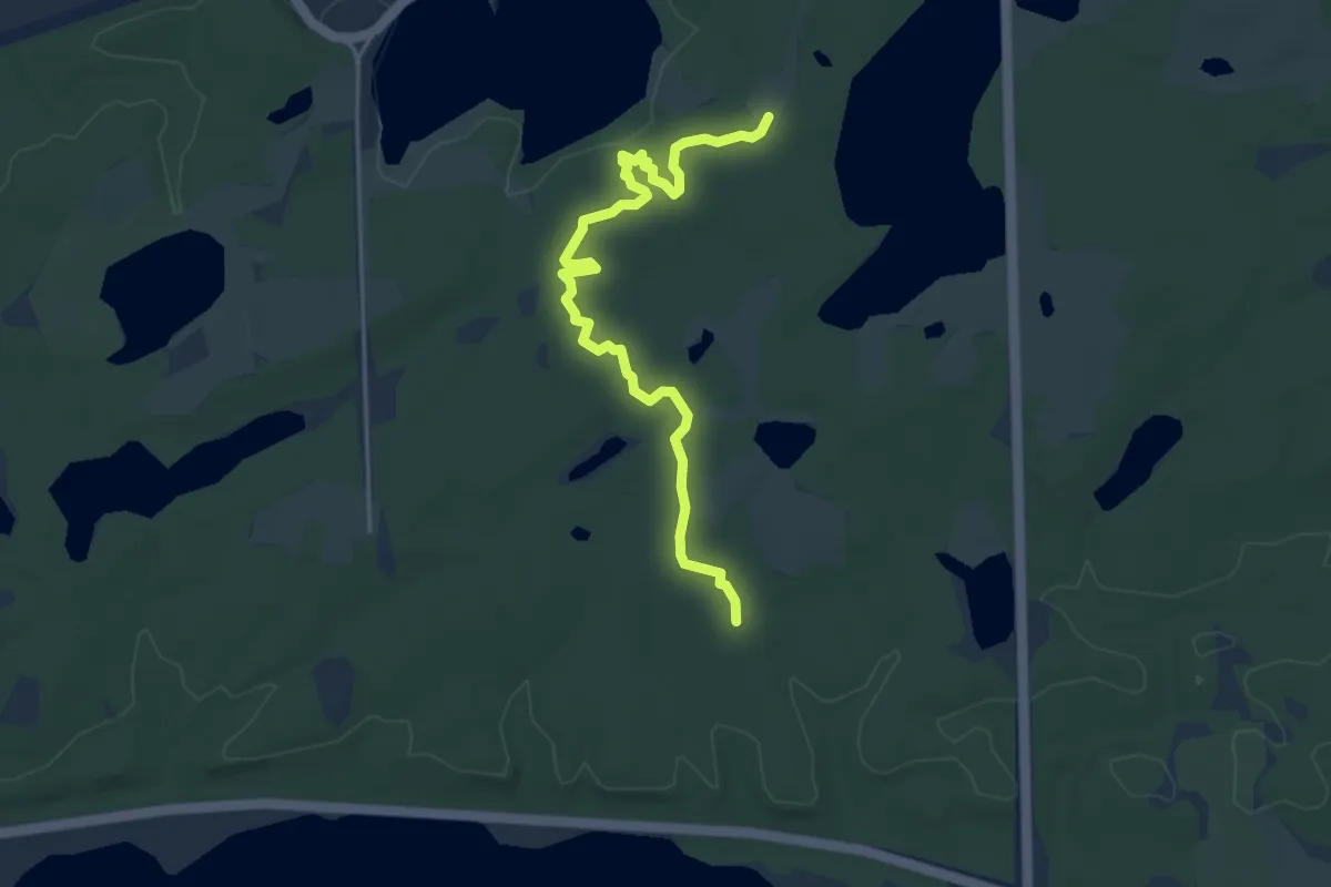
Easy · Trail
Tan West Single Track
4.9 km · ↑ 46 m · 1 h 15 min
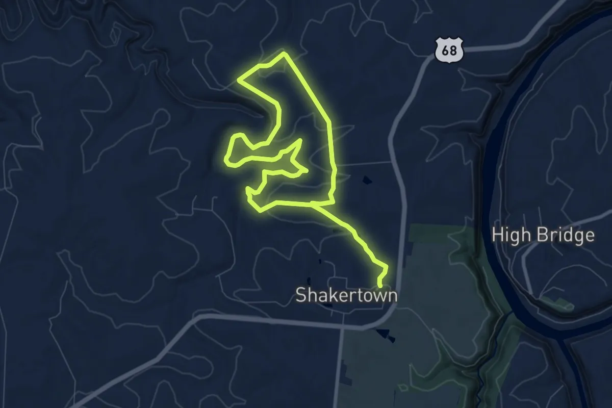
Easy · Trail
Tanyard
7.8 km · ↑ 192 m · 2 h 21 min
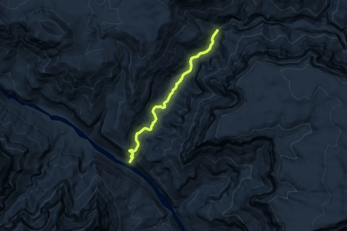
Medium · Trail
Tapeats Creek Trail
7.1 km · ↑ 348 m · 2 h 26 min
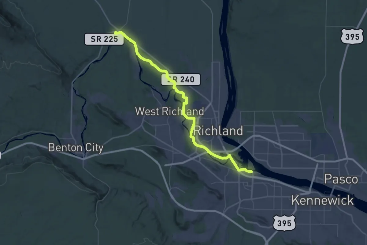
Demanding · Summit
Tapteal Trail
55.7 km · ↑ 153 m · 13 h 29 min
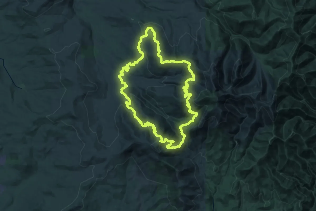
Demanding · Trail
Tarbell Trail
34.8 km · ↑ 1272 m · 11 h 28 min
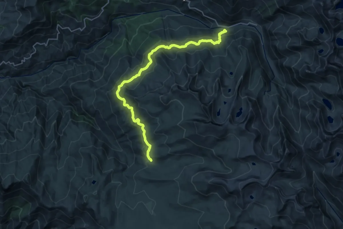
Demanding · Trail
Tar Gap Trail
24.3 km · ↑ 808 m · 7 h 30 min
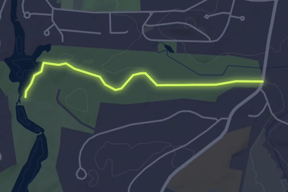
Easy · Trail
Target Trail
3.6 km · ↑ 22 m · 54 min
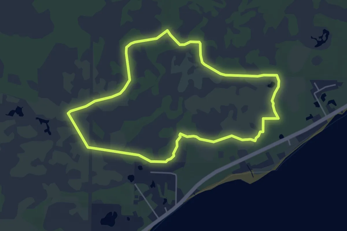
Easy · Trail
Tate's Hell High Bluff Coastal Hiking Trail East Loop
5.7 km · ↑ 0 m · 1 h 26 min
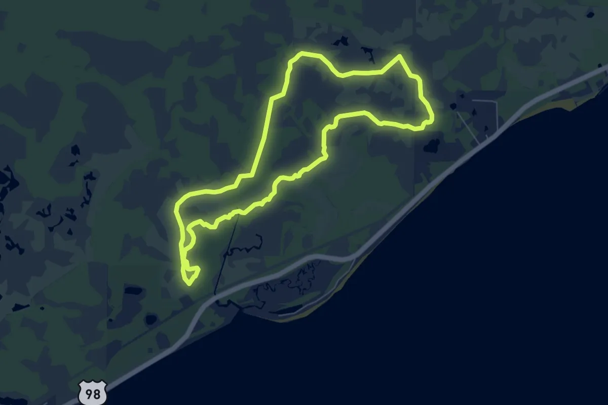
Medium · Trail
Tate's Hell High Bluff Coastal Hiking Trail West Loop
8.7 km · ↑ 13 m · 2 h 13 min
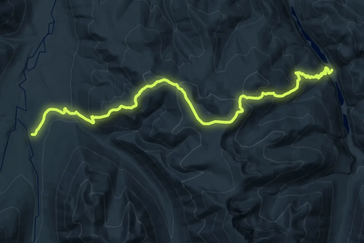
Demanding · Trail
Tatoosh Buttes Trail
15.1 km · ↑ 895 m · 5 h 44 min
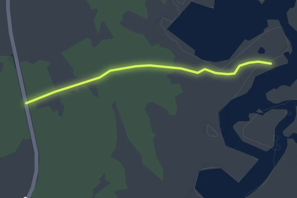
Easy · Trail
Tat Starr Trail
2.6 km · ↑ 0 m · 37 min
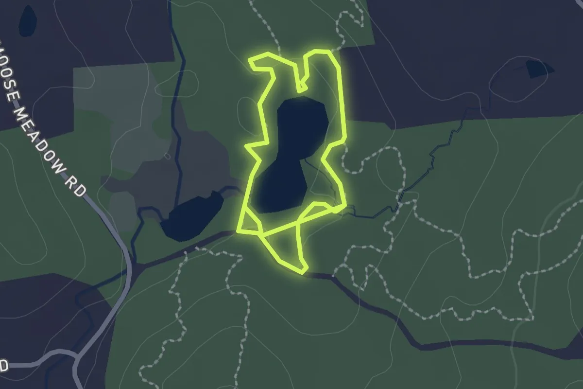
Easy · Trail
Taylor Pond Trail
3.7 km · ↑ 13 m · 54 min
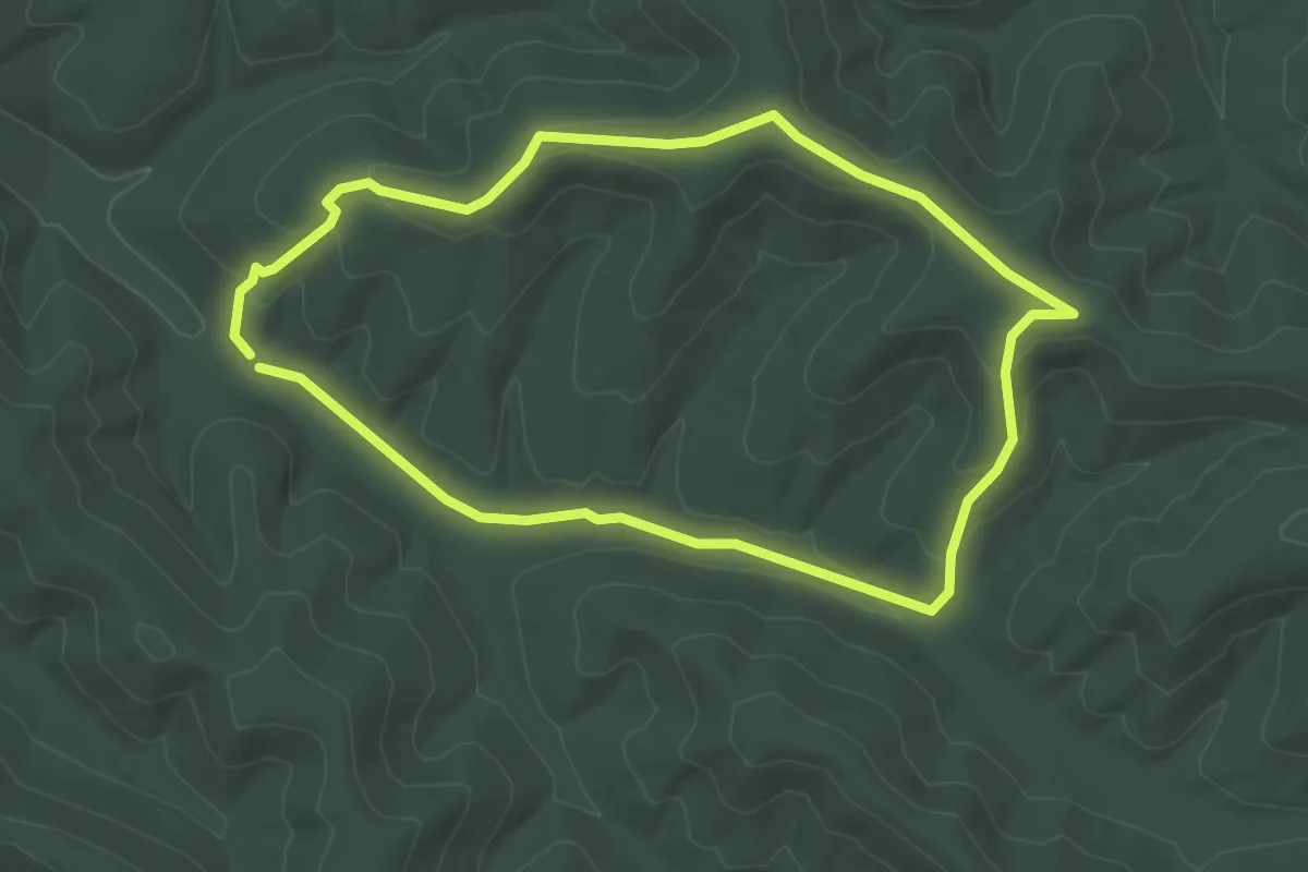
Easy · Trail
Taylor Ridge Trail
3.2 km · ↑ 86 m · 1 h
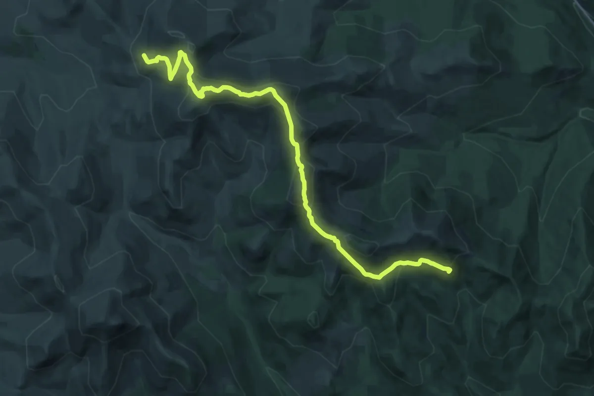
Demanding · Trail
Taylor Ridge Trail
20.6 km · ↑ 810 m · 6 h 37 min
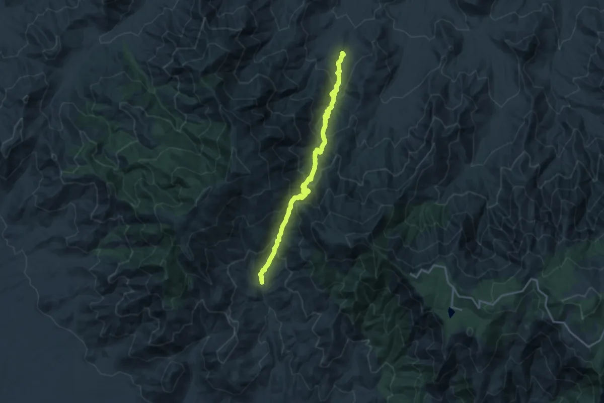
Demanding · Trail
Taylor Trail #306
17.1 km · ↑ 1101 m · 6 h 26 min
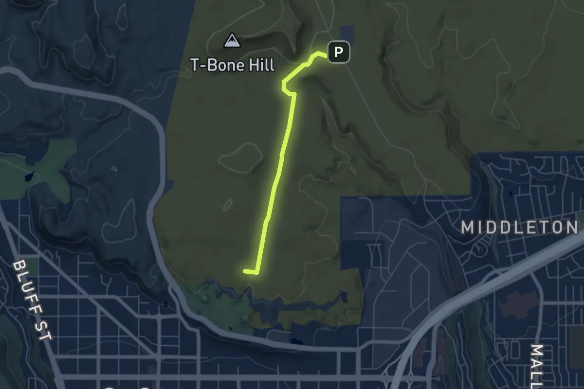
Easy · Summit
T-Bone
5.3 km · ↑ 107 m · 1 h 30 min
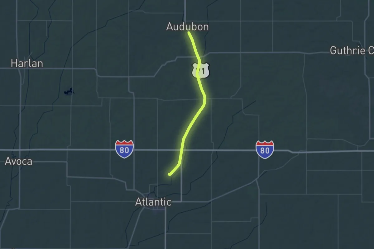
Demanding · Trail
T-Bone Trail
31.7 km · ↑ 51 m · 8 h 1 min
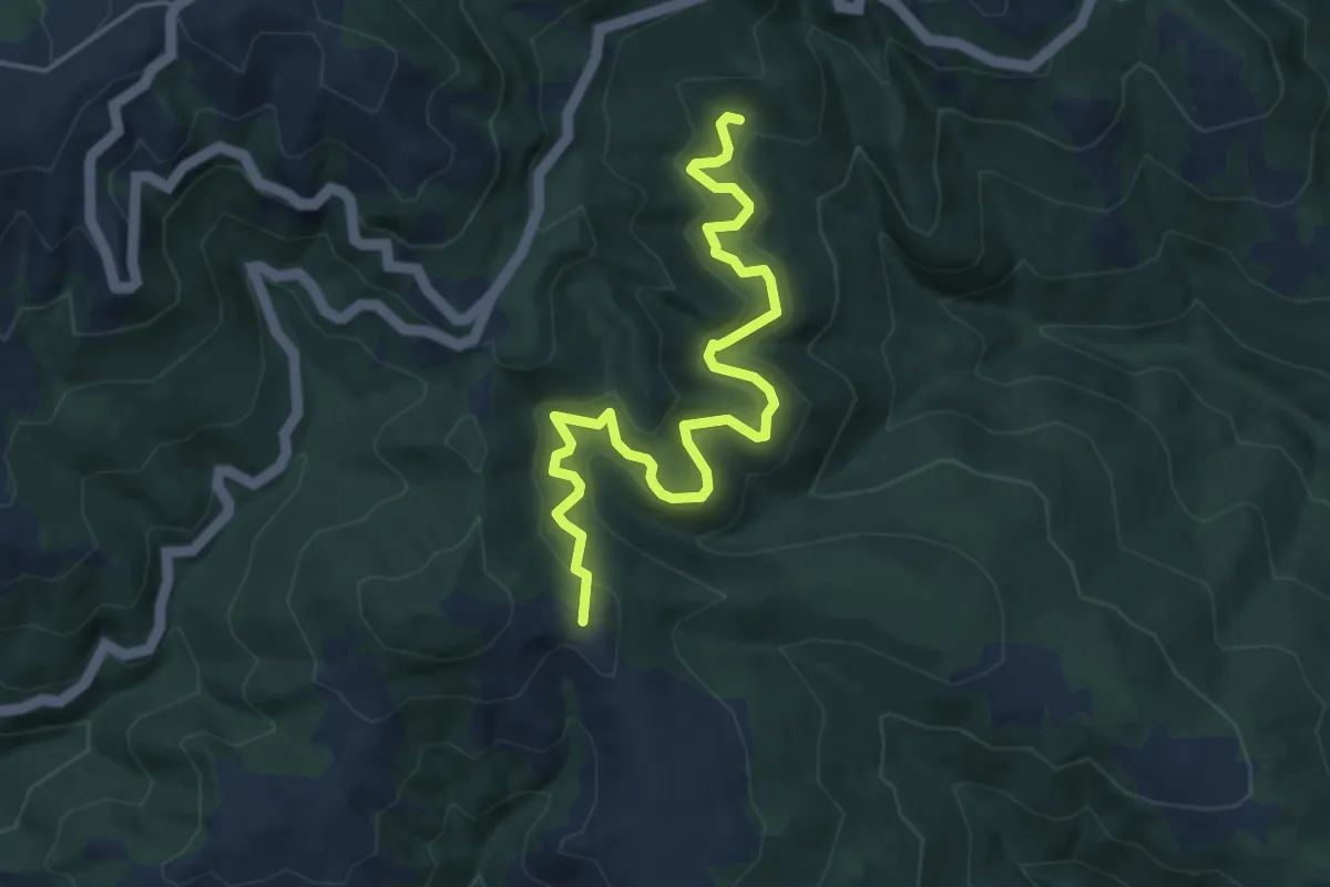
Easy · Summit
TCC Trail
5.7 km · ↑ 221 m · 1 h 49 min
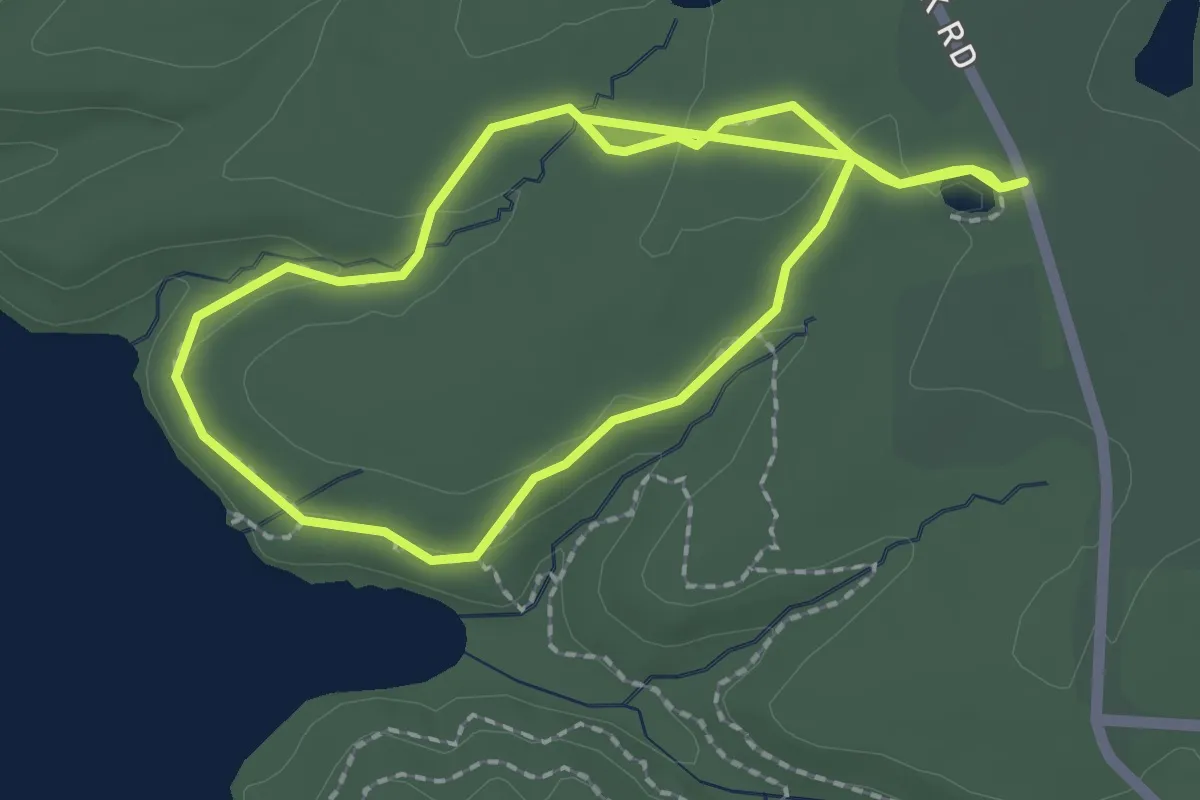
Easy · Trail
Tcha-To-Ga Nature Trail
2.2 km · ↑ 29 m · 37 min
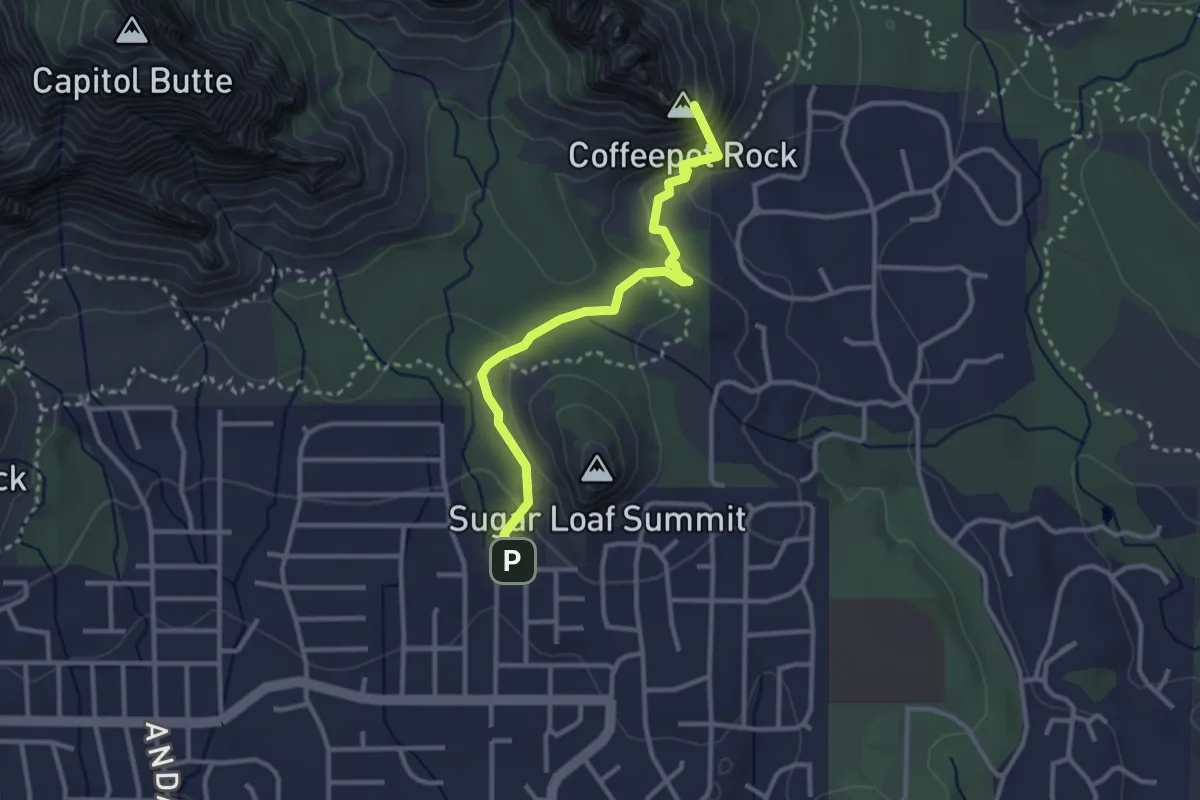
Easy · Summit
Tea Cup #183
3.6 km · ↑ 201 m · 1 h 17 min
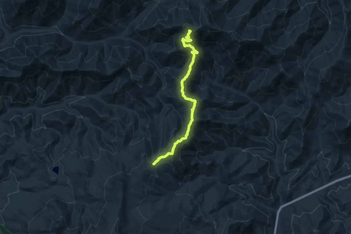
Medium · Summit
Teanaway Ridge Trail
12.6 km · ↑ 749 m · 4 h 36 min
Easy · Summit
Teardrop Trail
2.0 km · ↑ 38 m · 33 min
Easy · Trail
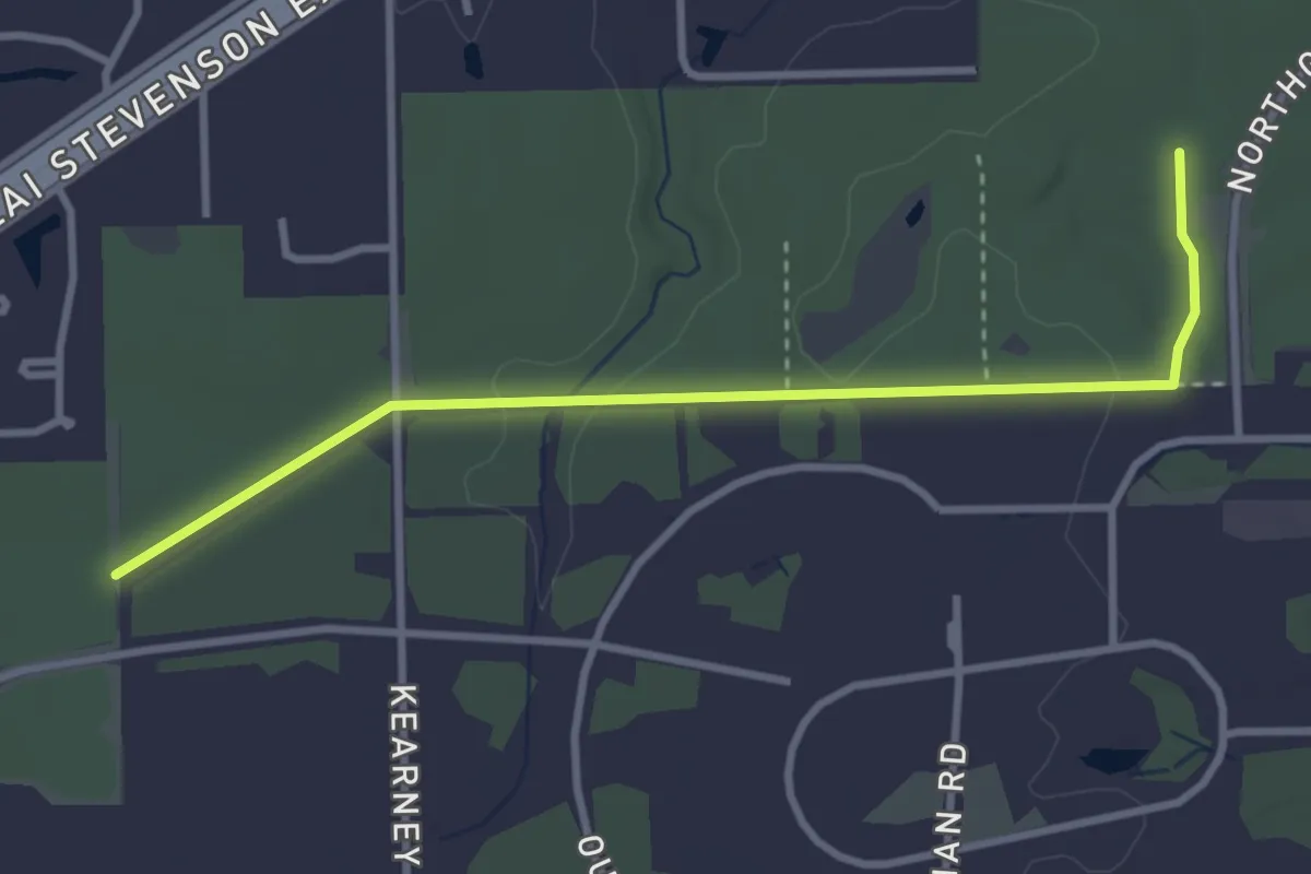
Tear-Thumb Trail
3.7 km · ↑ 20 m · 55 min
Demanding · Trail
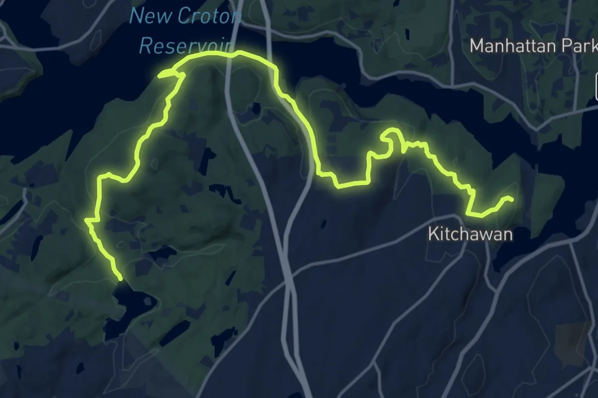
Teatown-Kitchawan Trail
20.6 km · ↑ 558 m · 6 h 4 min
Easy · Trail
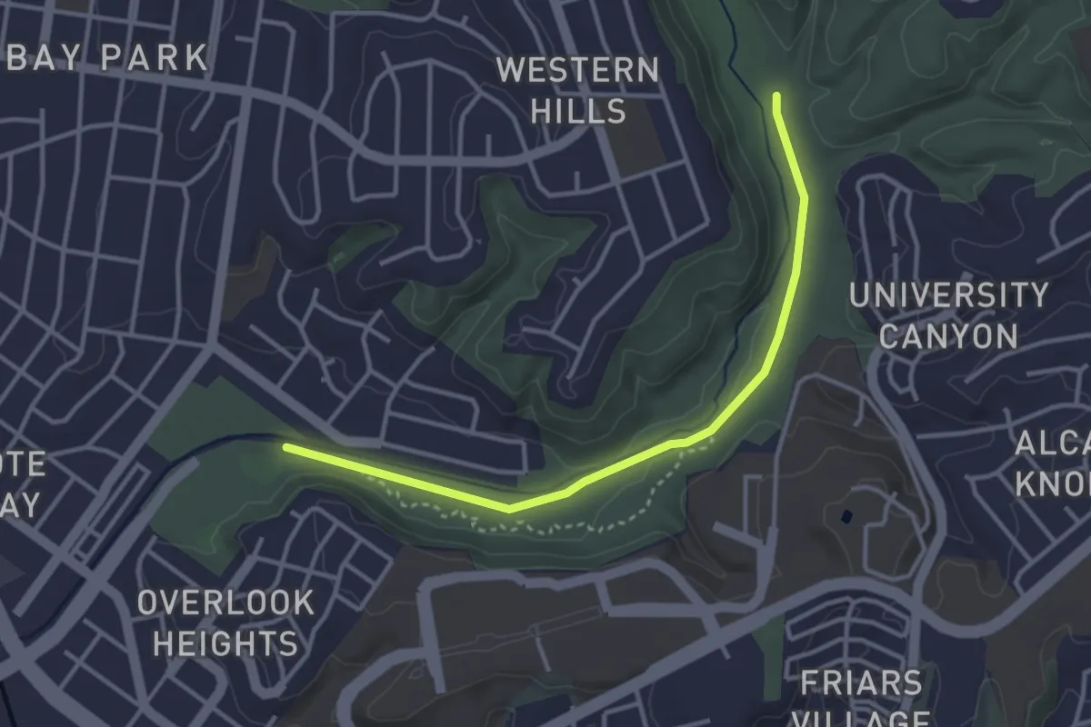
Tecolote Canyon Trail
4.1 km · ↑ 13 m · 1 h
Easy · Trail
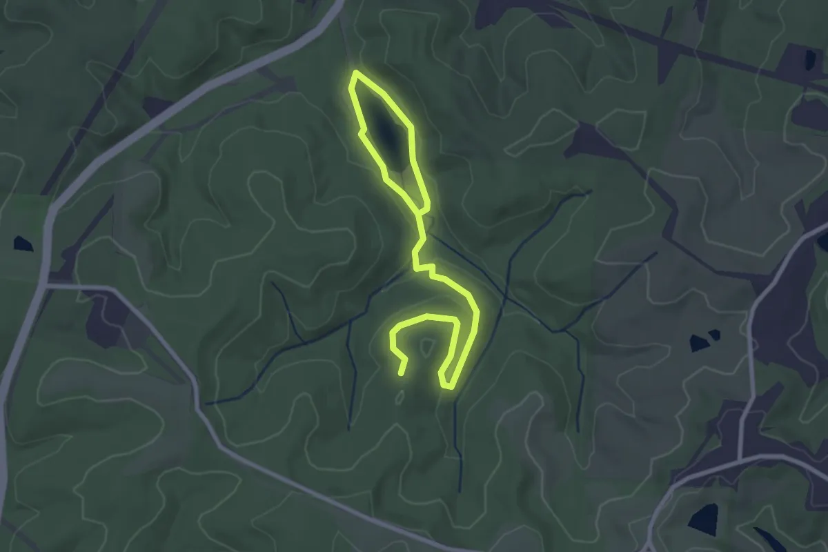
Tecumseh Lake Loop Trail
3.8 km · ↑ 50 m · 1 h
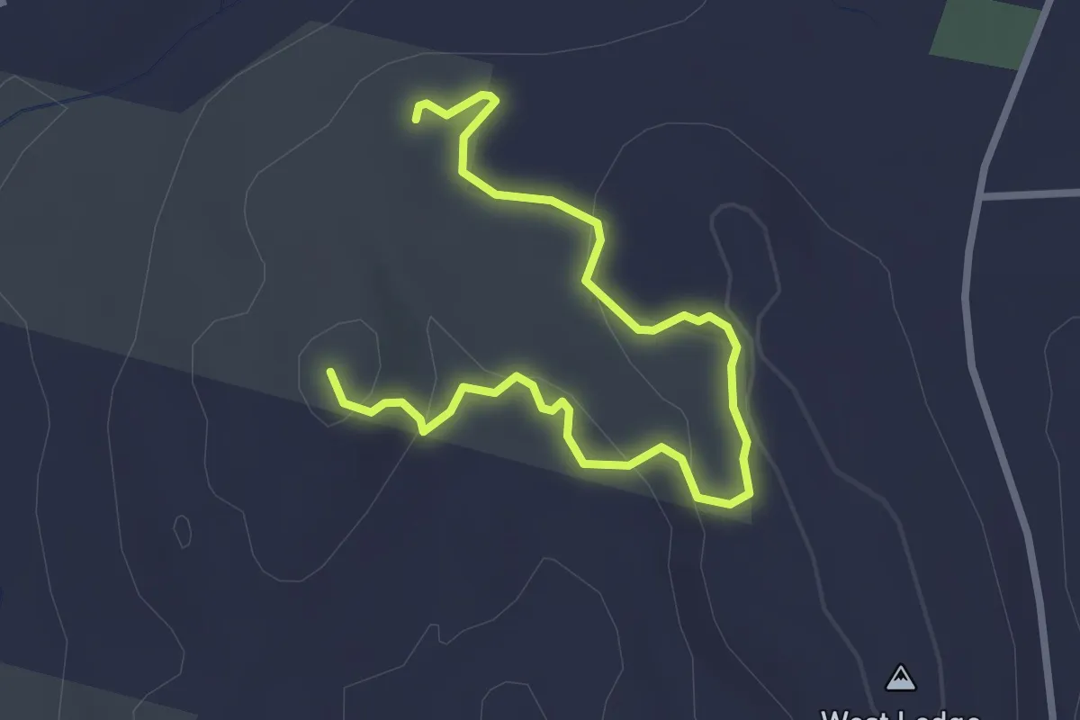
Easy · Trail
Ted Cowles Trail
3.5 km · ↑ 125 m · 1 h 6 min
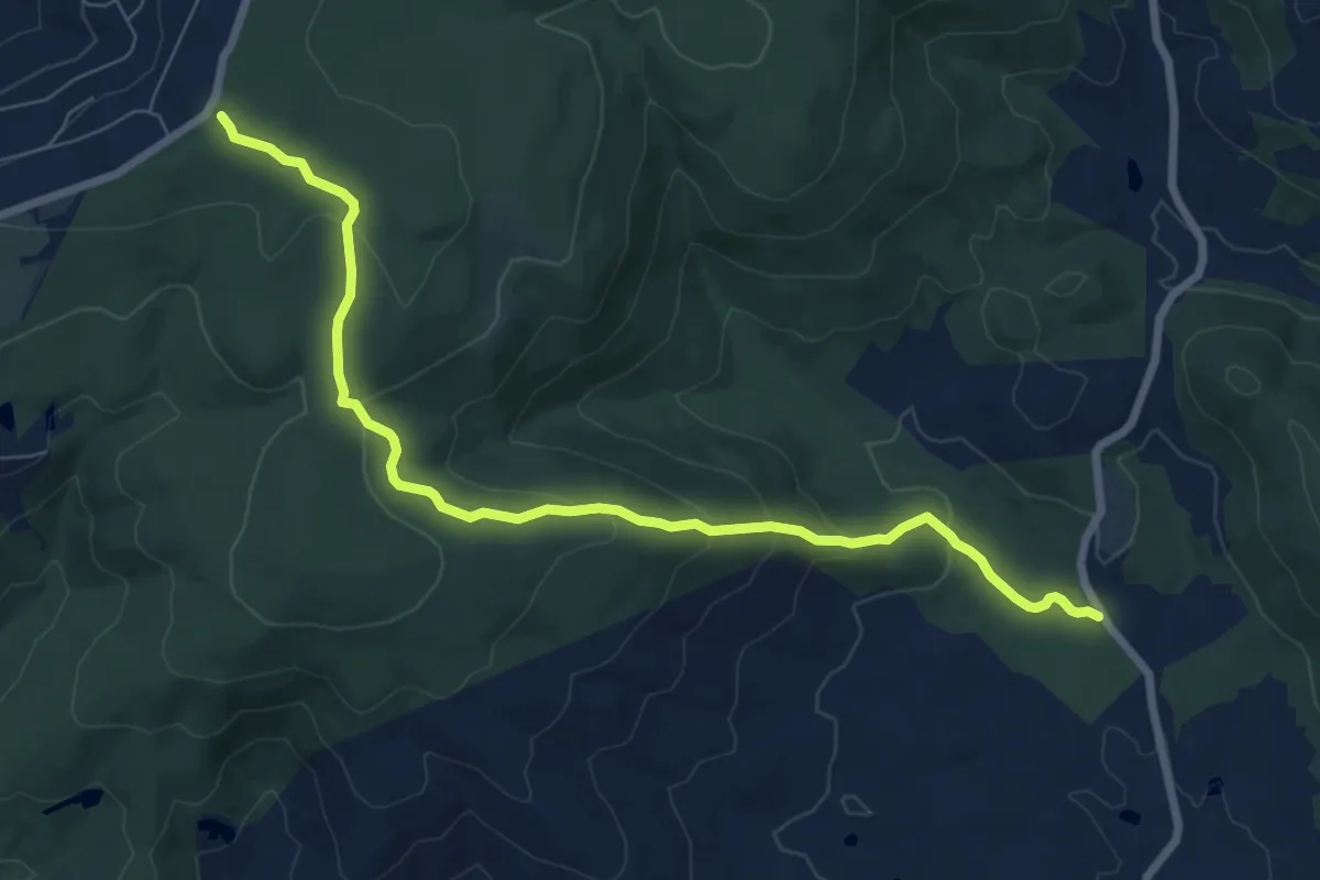
Medium · Trail
Ted Lake Trail
9.2 km · ↑ 366 m · 2 h 58 min
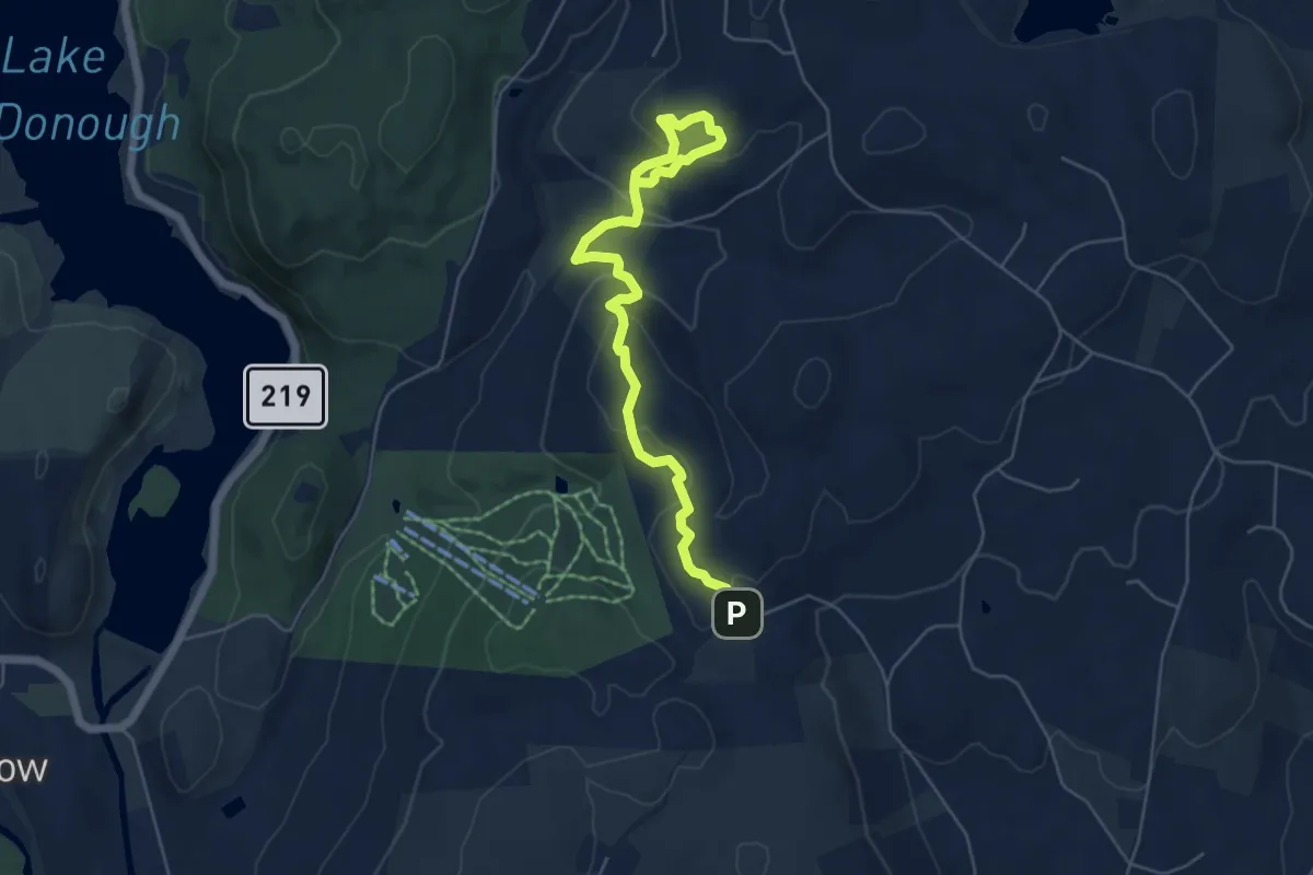
Medium · Trail
Ted Wright Trail
6.6 km · ↑ 424 m · 2 h 29 min
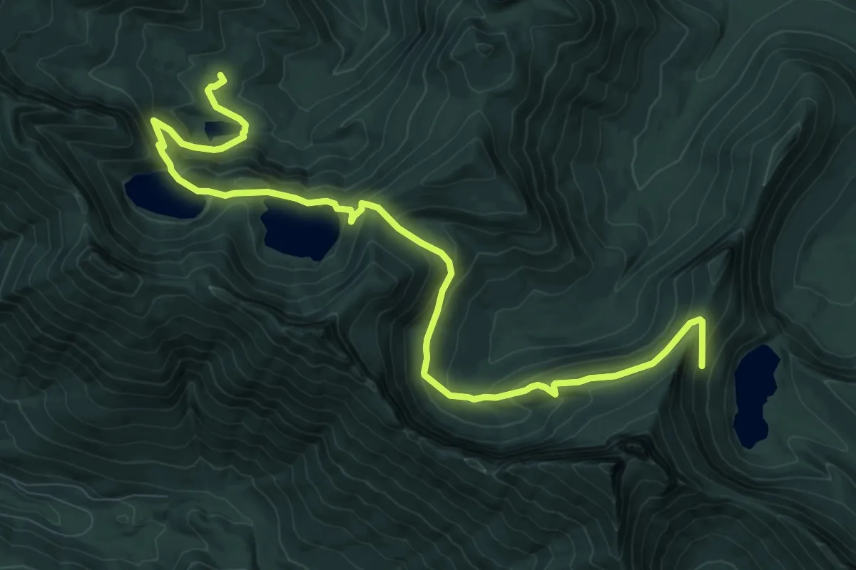
Medium · Trail
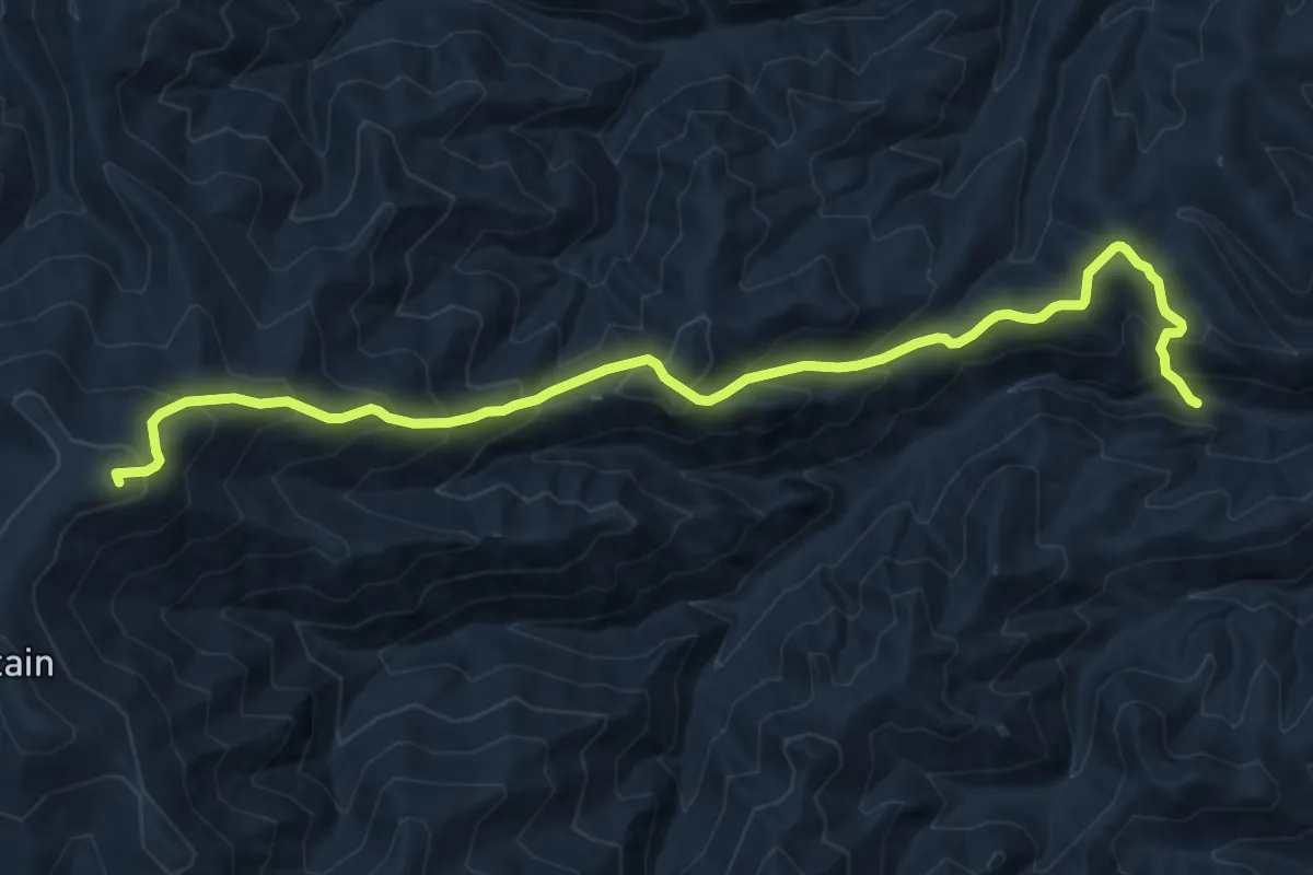
Teeley Creek Trail #251
12.7 km · ↑ 632 m · 4 h 22 min
Demanding · Summit
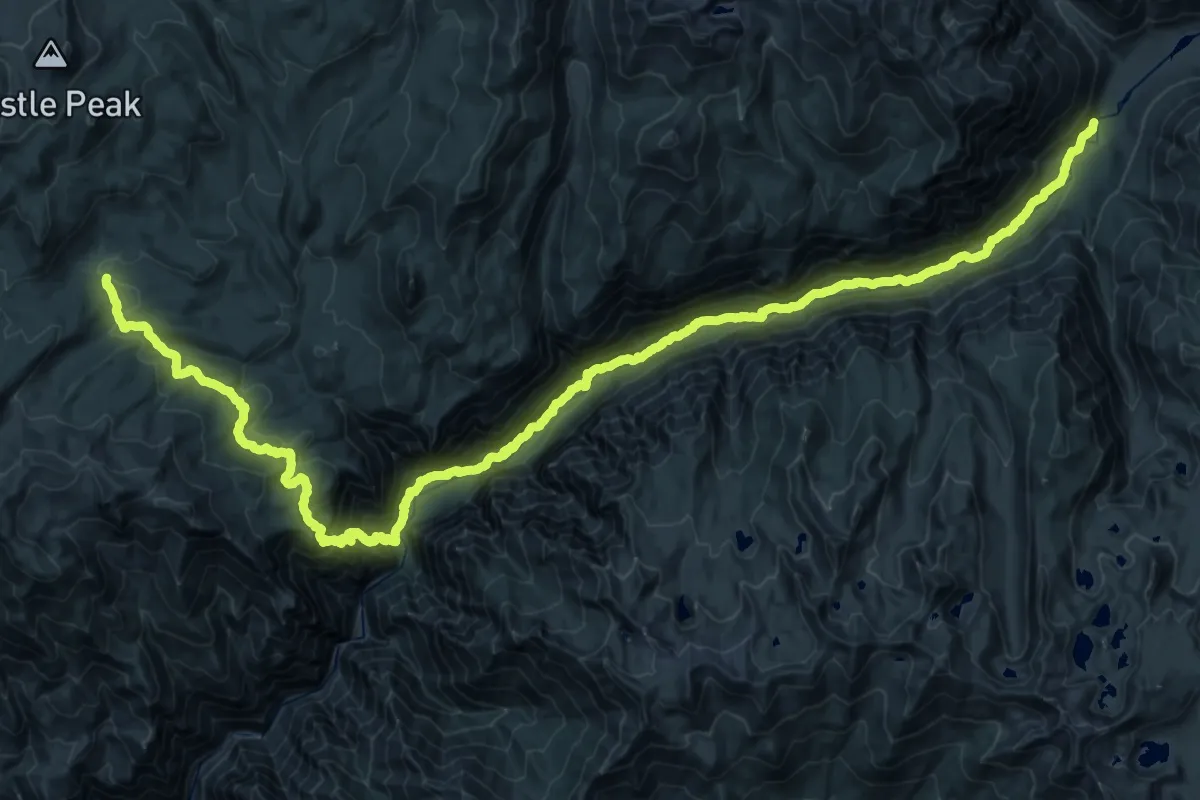
Teepe Peak Trail
14.1 km · ↑ 1313 m · 6 h 11 min
Demanding · Trail
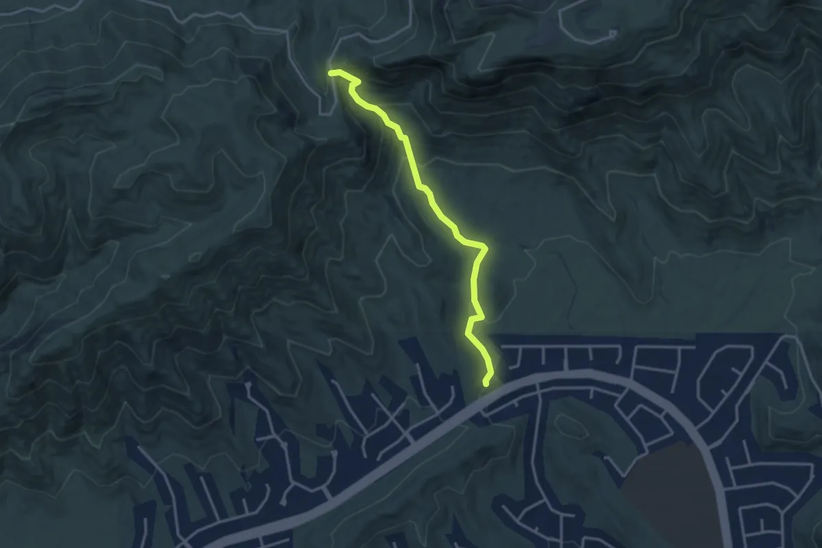
Tehipite Trail
30.6 km · ↑ 1608 m · 10 h 51 min
Easy · Trail
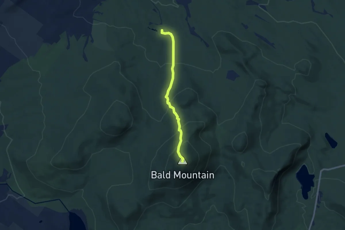
Telegraph Pass Trail
3.6 km · ↑ 167 m · 1 h 13 min
Medium · Summit
Telegraph Trail
6.8 km · ↑ 477 m · 2 h 38 min
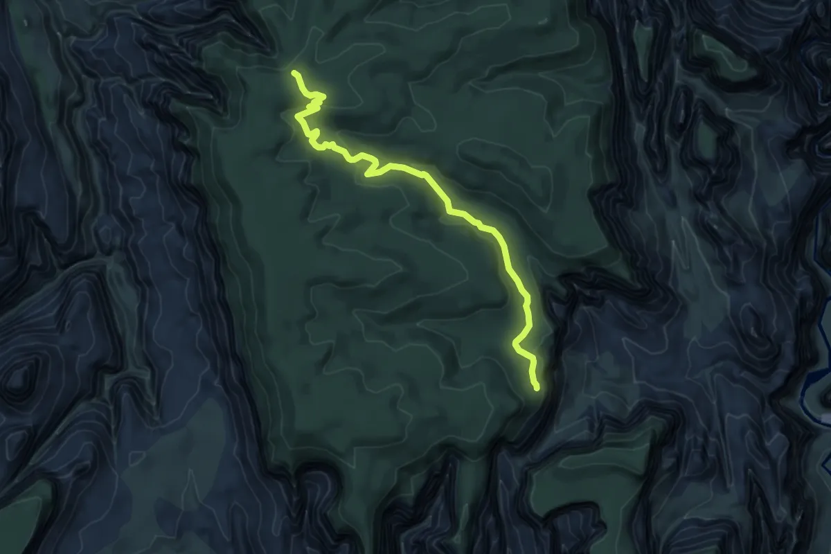
Easy · Trail
Telephone Canyon
7.3 km · ↑ 203 m · 2 h 10 min
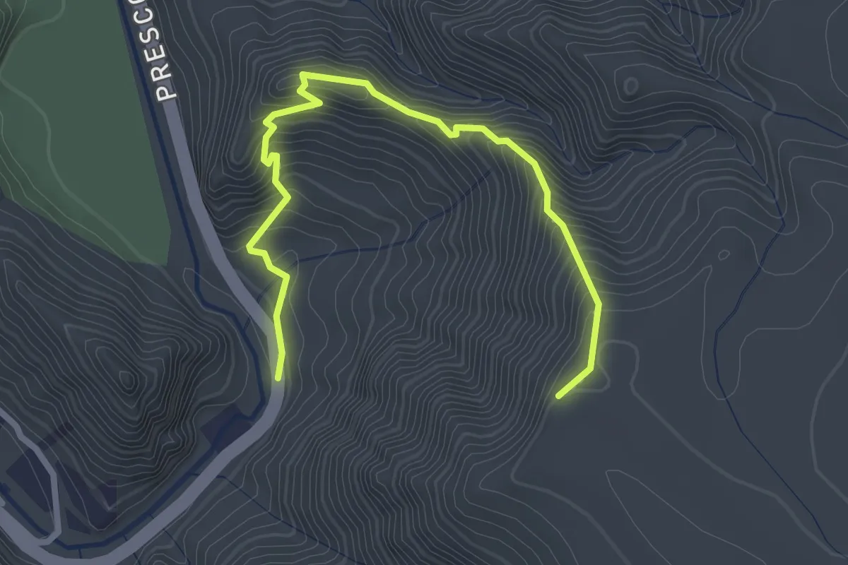
Medium · Trail
Telephone Trail #72
3.4 km · ↑ 335 m · 1 h 31 min
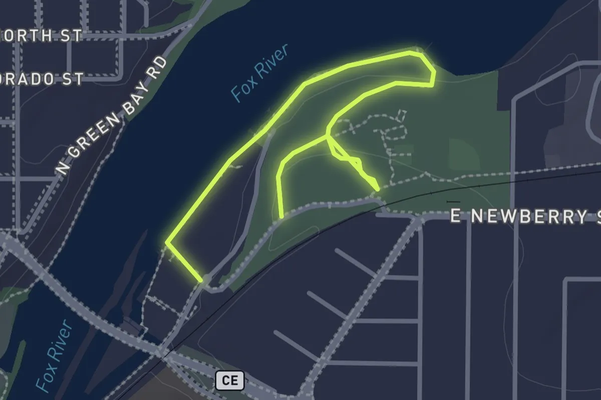
Easy · Trail
Telulah Park Trail
3.4 km · ↑ 13 m · 50 min