Trails in United States
10,367 hiking trails, each with its route, climb, walking time and grade.
All trails, page 189 of 216
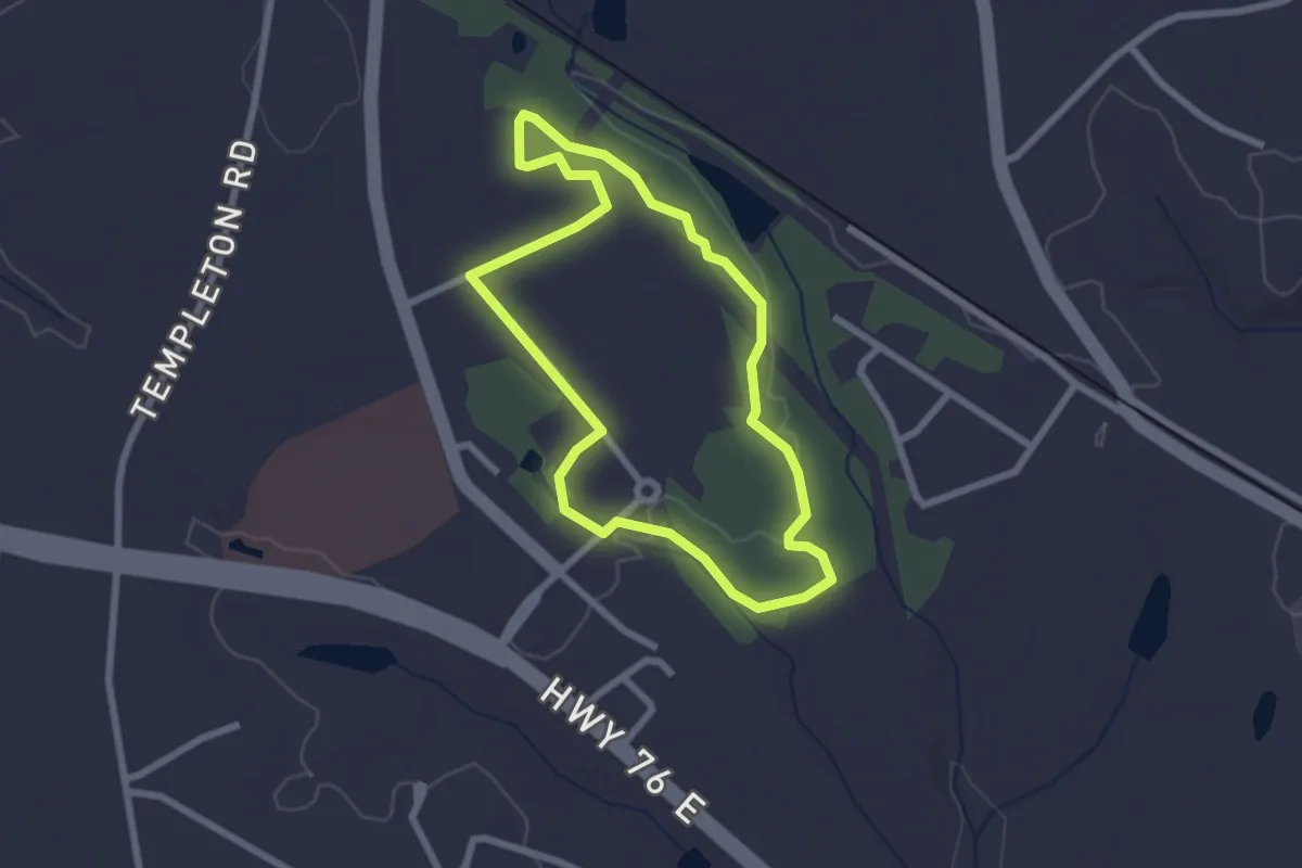
Easy · Trail
The Loop Trail
2.7 km · ↑ 26 m · 44 min
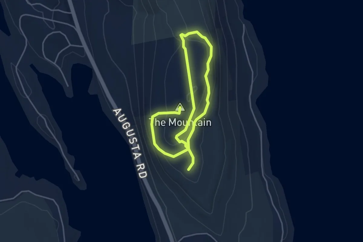
Easy · Summit
The Mountain Trail
6.0 km · ↑ 163 m · 1 h 47 min
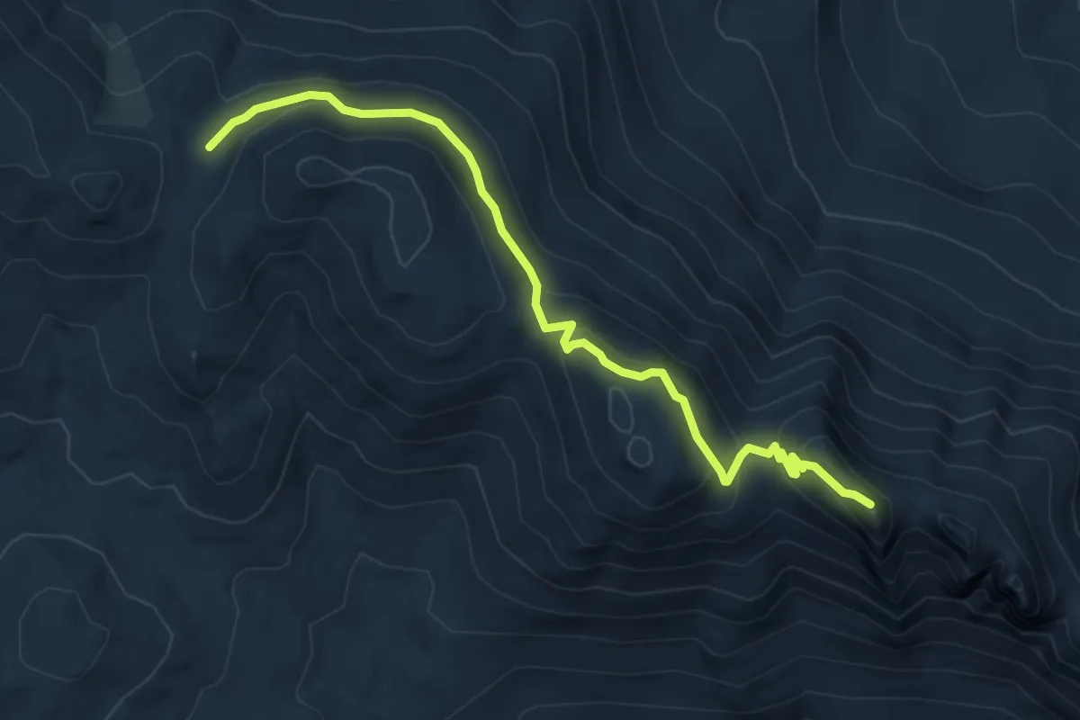
Medium · Summit
The Needles Trail
6.6 km · ↑ 370 m · 2 h 21 min
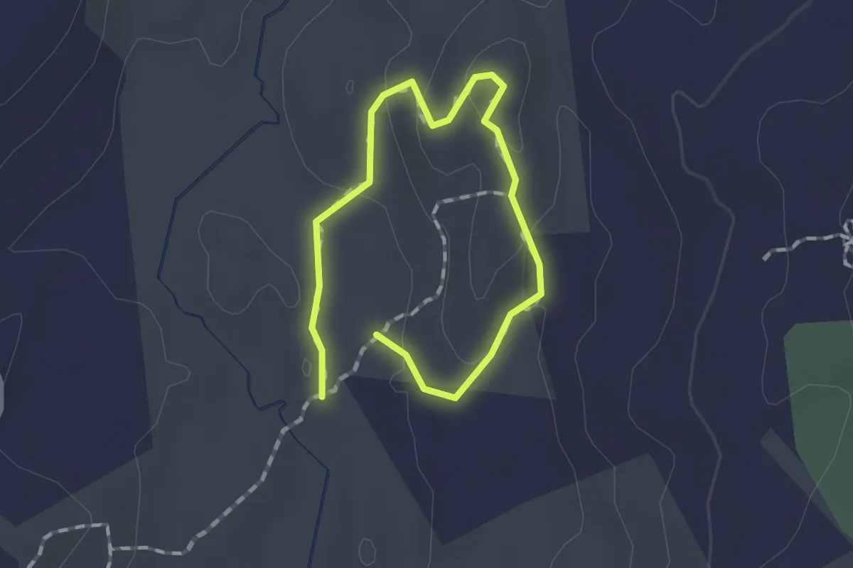
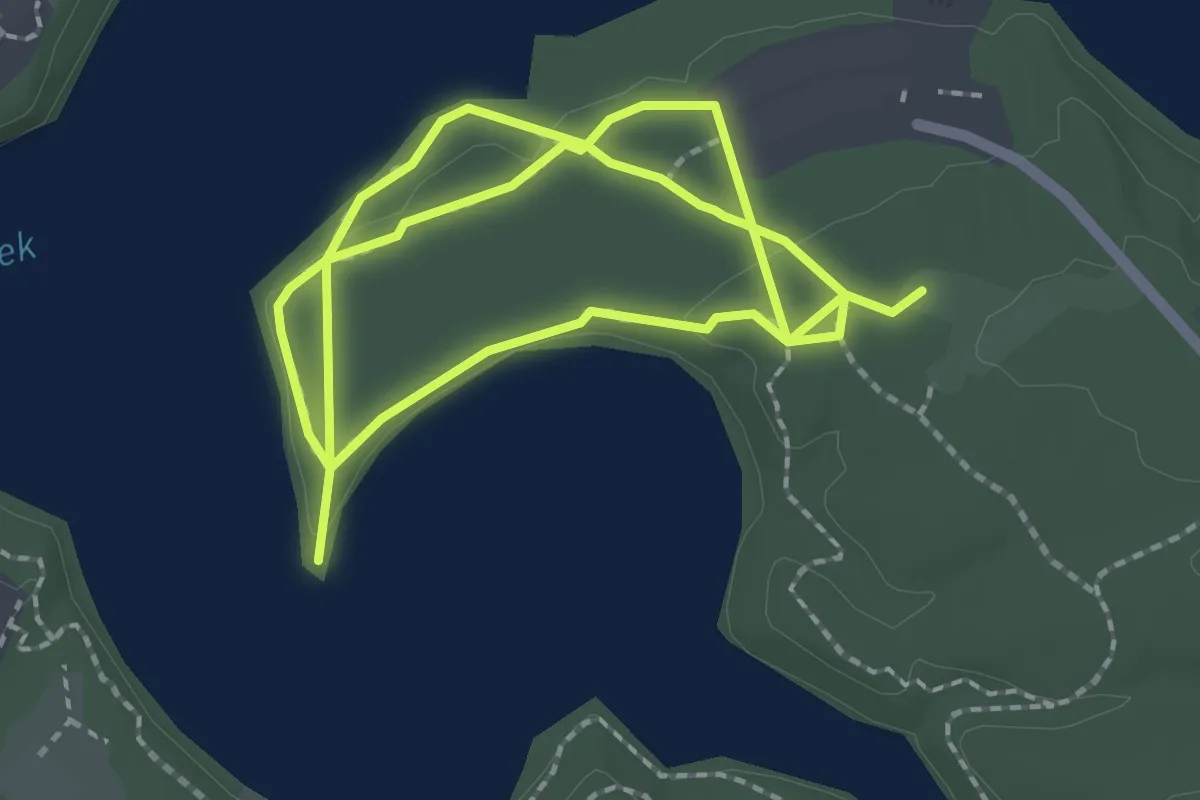
Easy · Trail
The Noose
1.0 km · ↑ 37 m · 19 min
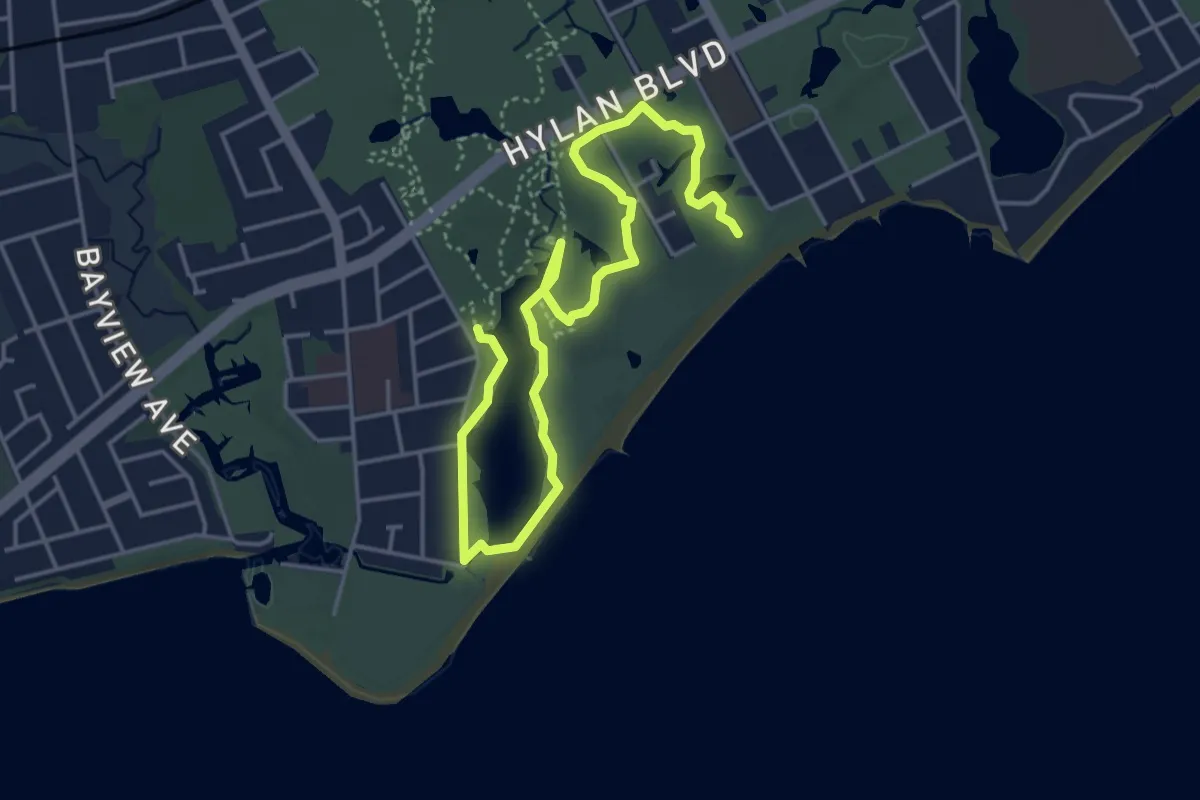
Easy · Trail
The Peninsula Trail
4.6 km · ↑ 58 m · 1 h 13 min
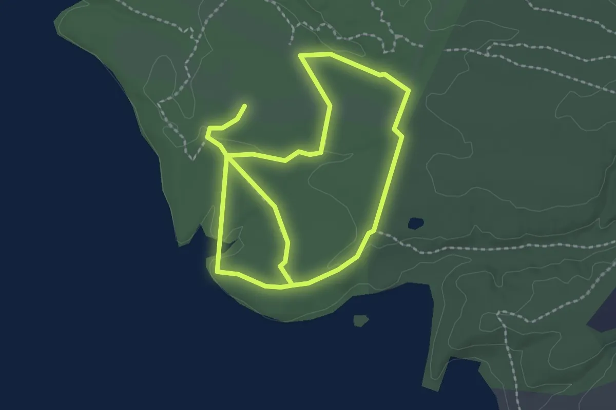
Easy · Trail
The Phoenix
6.3 km · ↑ 32 m · 1 h 33 min
Easy · Trail
The Point Trail
4.5 km · ↑ 37 m · 1 h 8 min
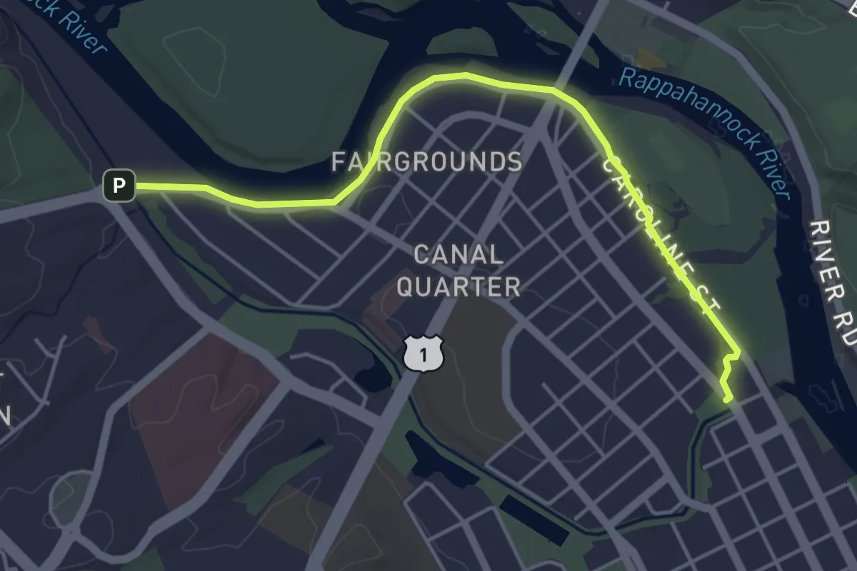
Easy · Trail
The Rappahannock River Heritage Trail
5.3 km · ↑ 24 m · 1 h 18 min
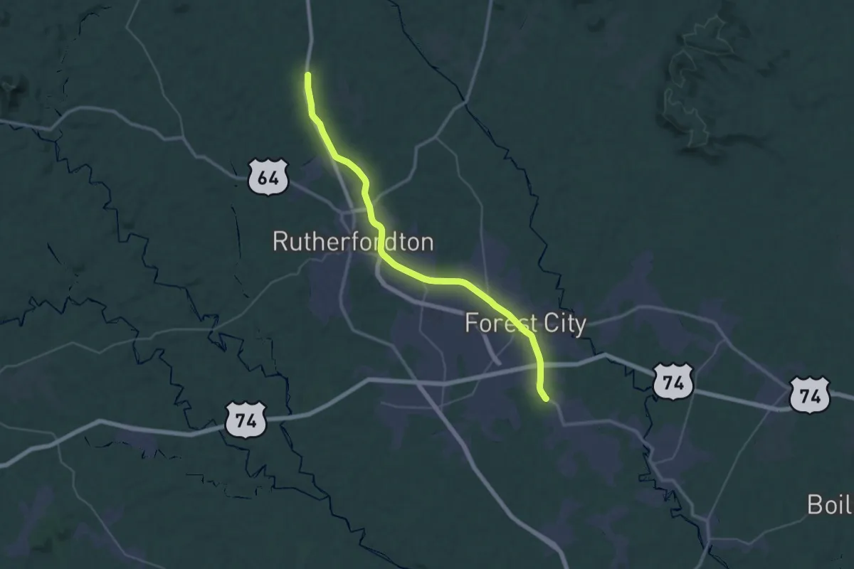
Demanding · Trail
Thermal Belt Rail Trail
21.7 km · ↑ 121 m · 5 h 41 min
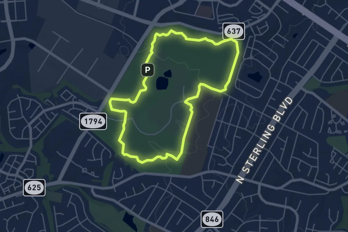
Easy · Summit
The Scout Trail (Blue)
5.2 km · ↑ 38 m · 1 h 23 min
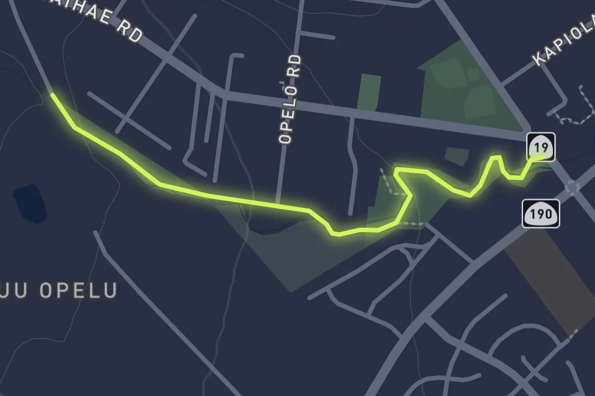
Easy · Trail
The Streamside Trail of Waimea
3.7 km · ↑ 30 m · 56 min
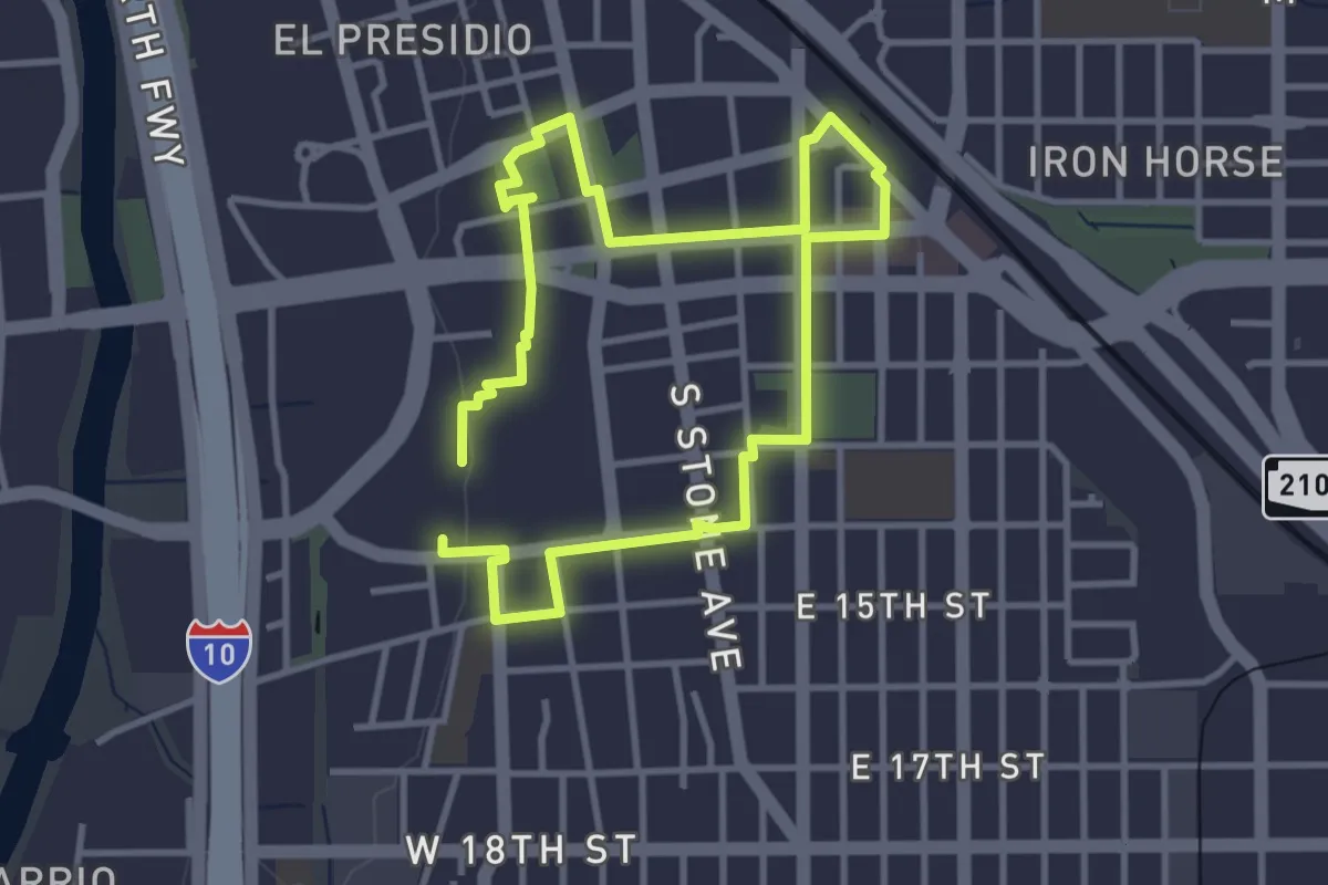
Easy · Trail
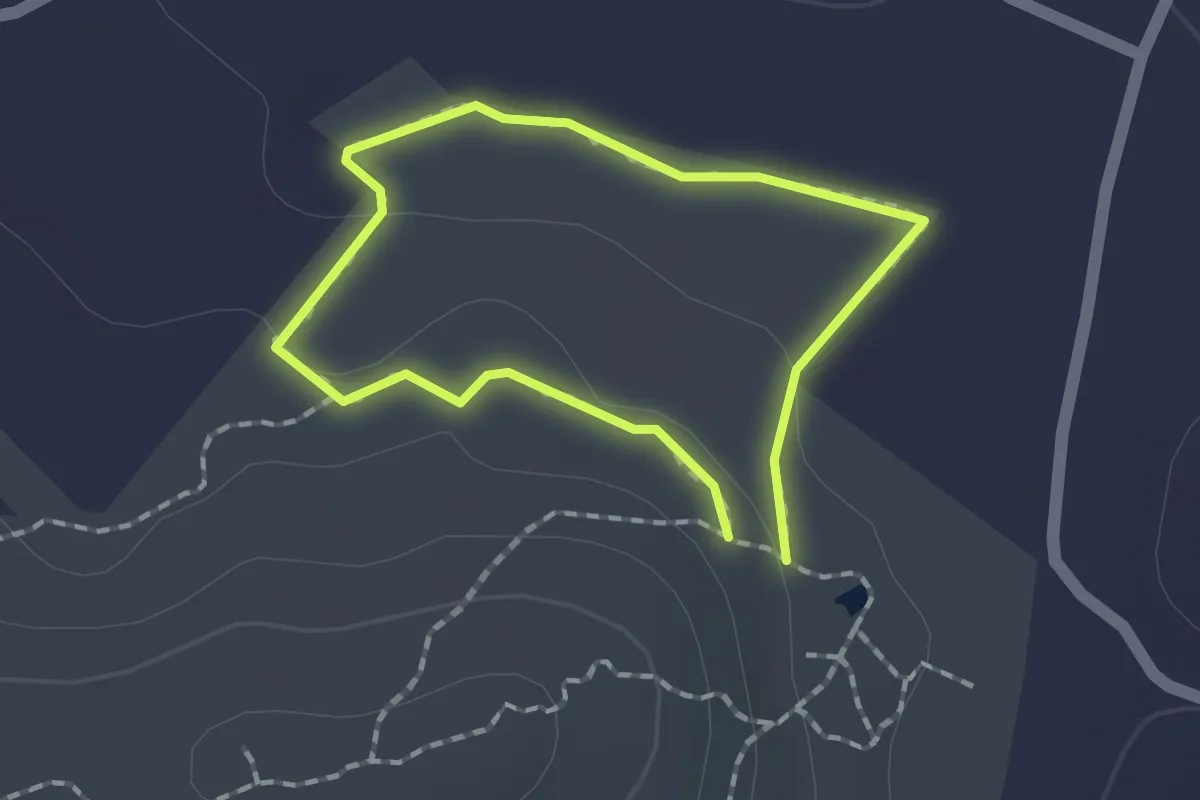
The Turqoise Trail
3.7 km · ↑ 8 m · 57 min
Easy · Trail
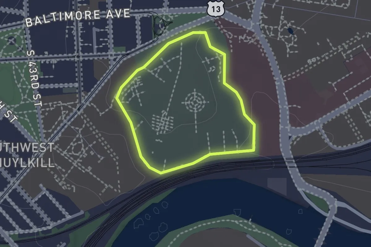
The Wetland Trail - Blue
1.4 km · ↑ 19 m · 23 min
Easy · Trail
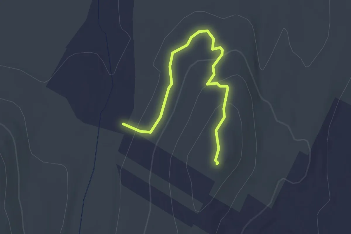
The Woodlands Running Track
1.6 km · ↑ 13 m · 25 min
Easy · Summit
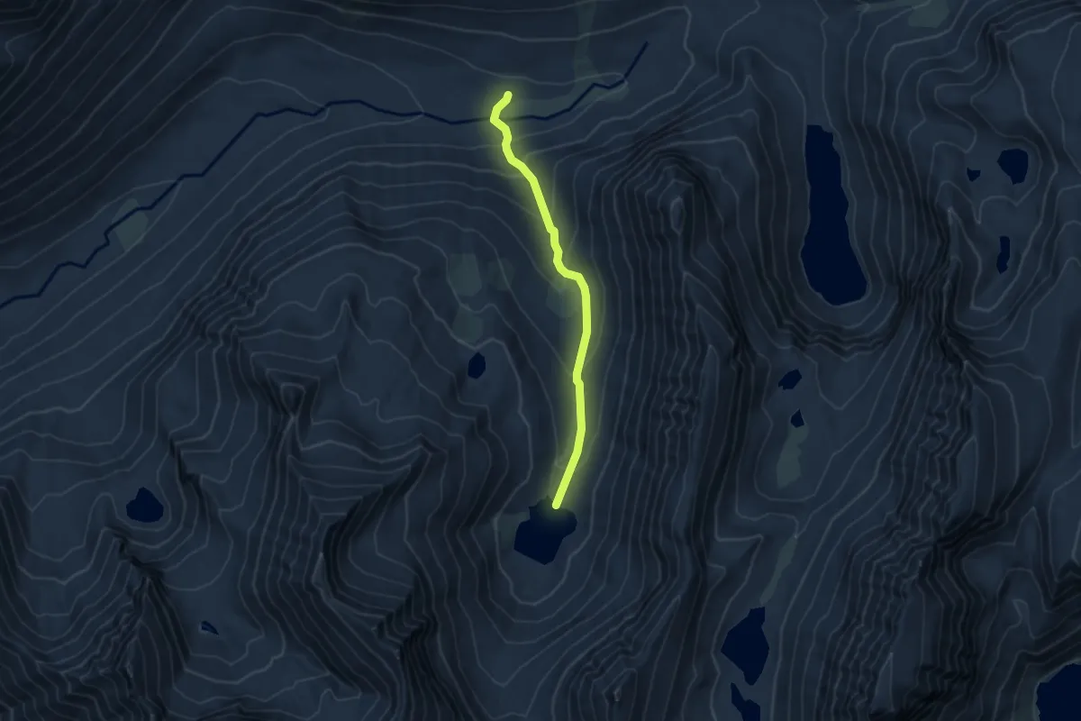
Third Hioll Trail
2.9 km · ↑ 98 m · 54 min
Easy · Trail
Third Recess Lake Trail
4.9 km · ↑ 281 m · 1 h 46 min
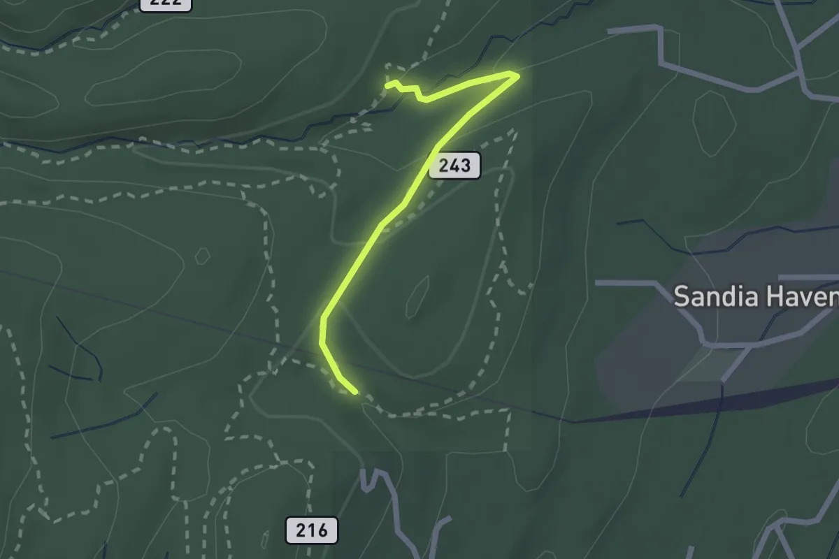
Easy · Trail
This Way Trail
2.2 km · ↑ 75 m · 40 min
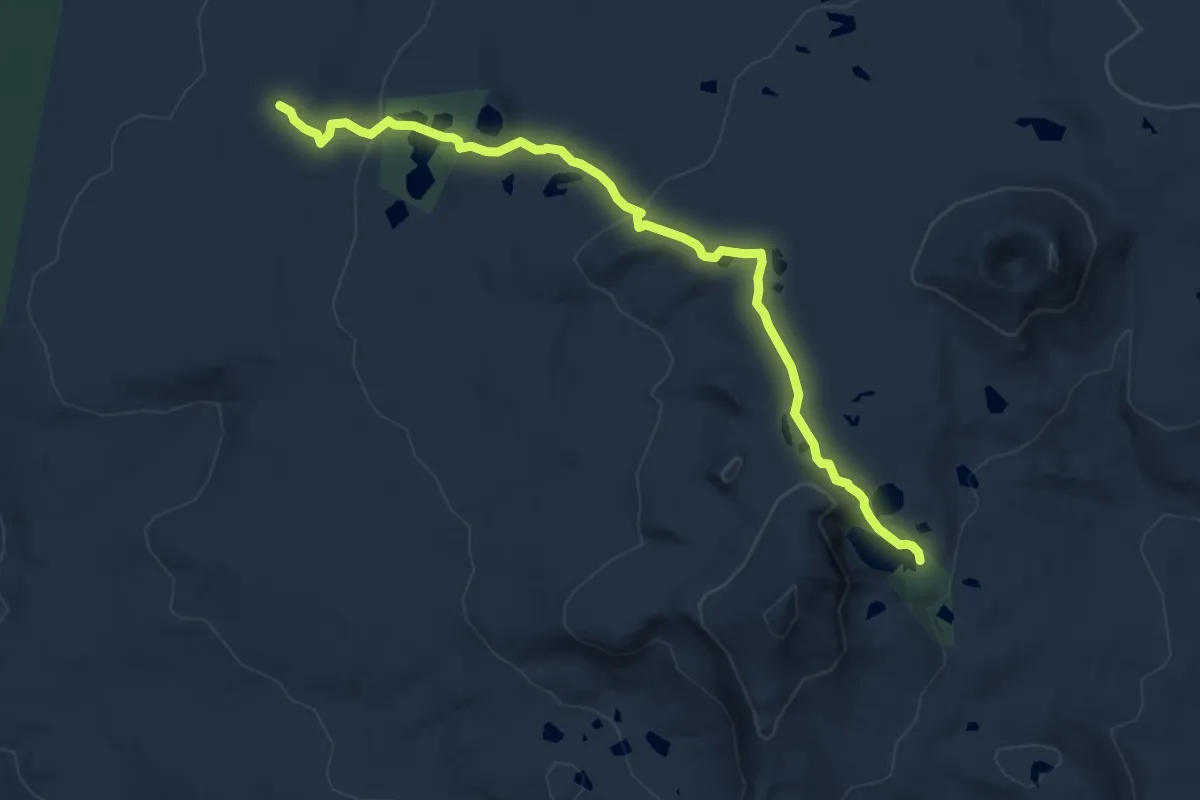
Medium · Trail
Thomas Lake Trail #111
10.3 km · ↑ 291 m · 3 h 4 min
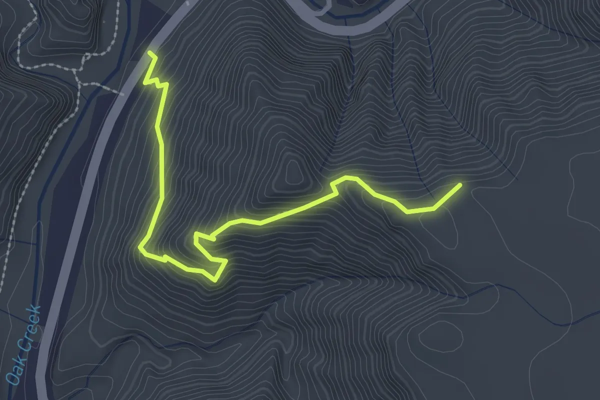
Easy · Trail
Thomas Point Trail #142
3.3 km · ↑ 312 m · 1 h 28 min
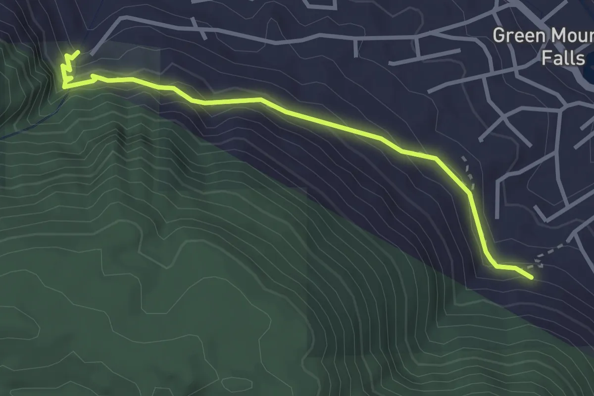
Medium · Trail
Thomas Trail
3.3 km · ↑ 285 m · 1 h 24 min
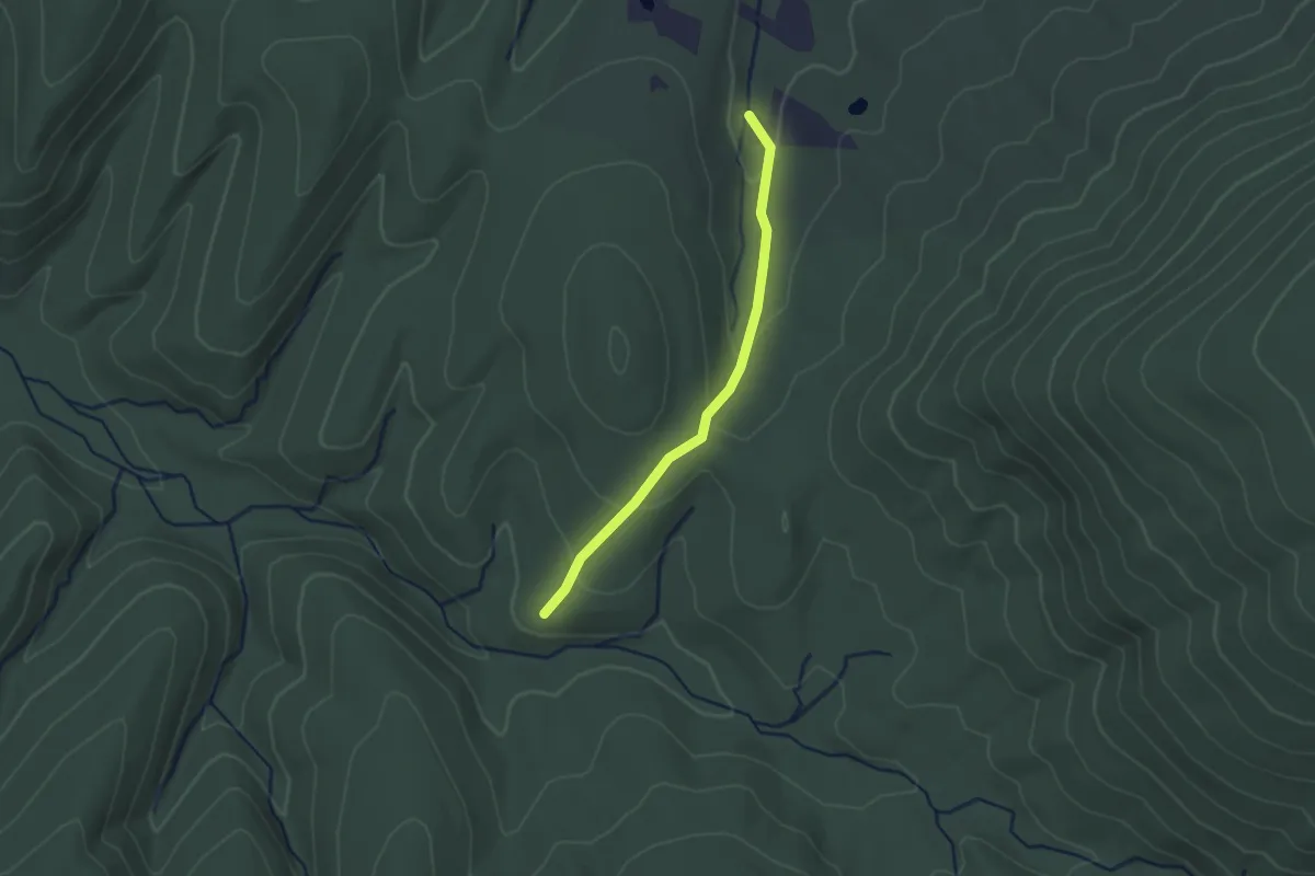
Easy · Trail
Thompson Hollow Trail
2.3 km · ↑ 94 m · 44 min
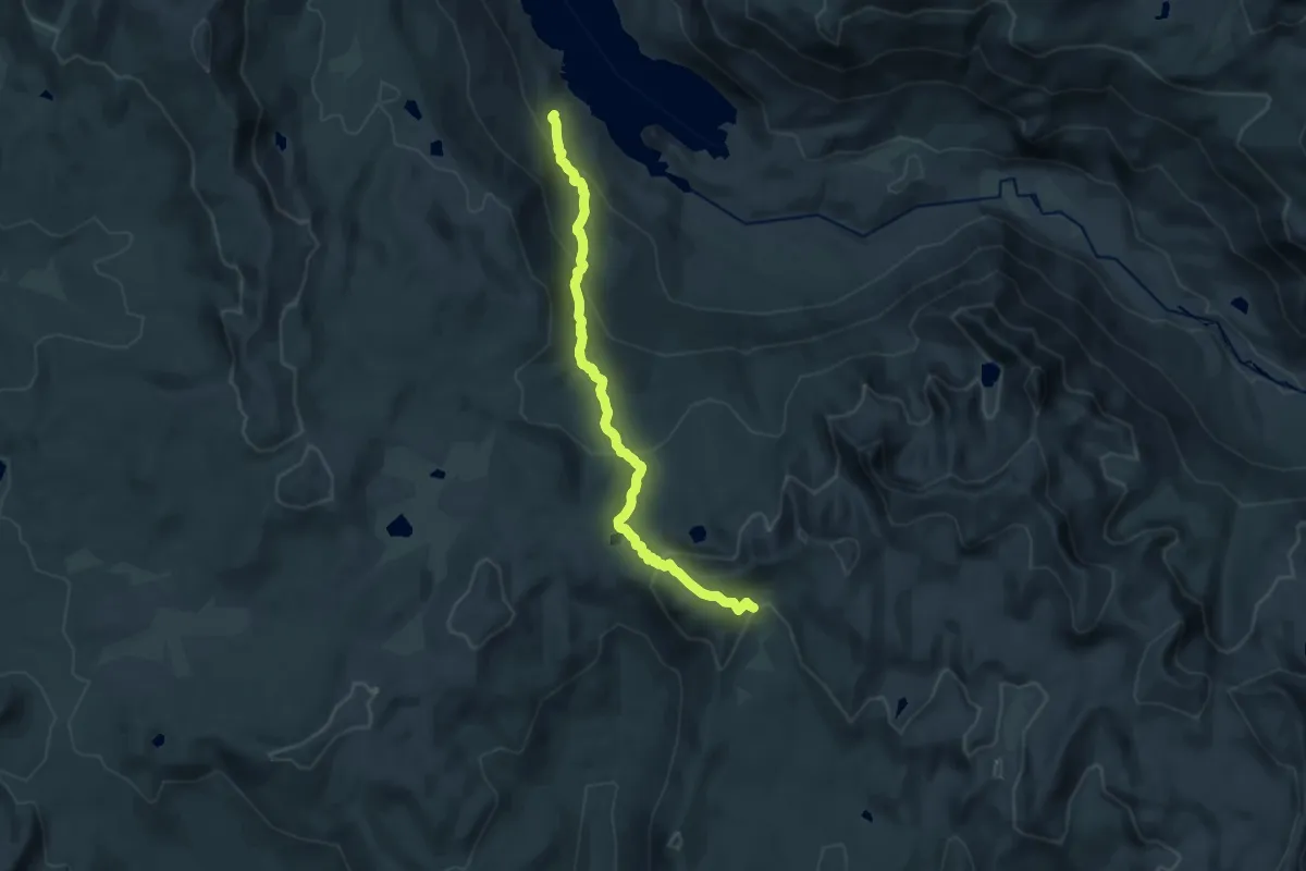
Demanding · Trail
Thompson Lake Trail
17.9 km · ↑ 914 m · 6 h 12 min
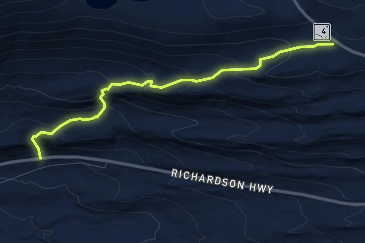
Medium · Trail
Thompson Pass Pack Trail
6.1 km · ↑ 523 m · 2 h 34 min
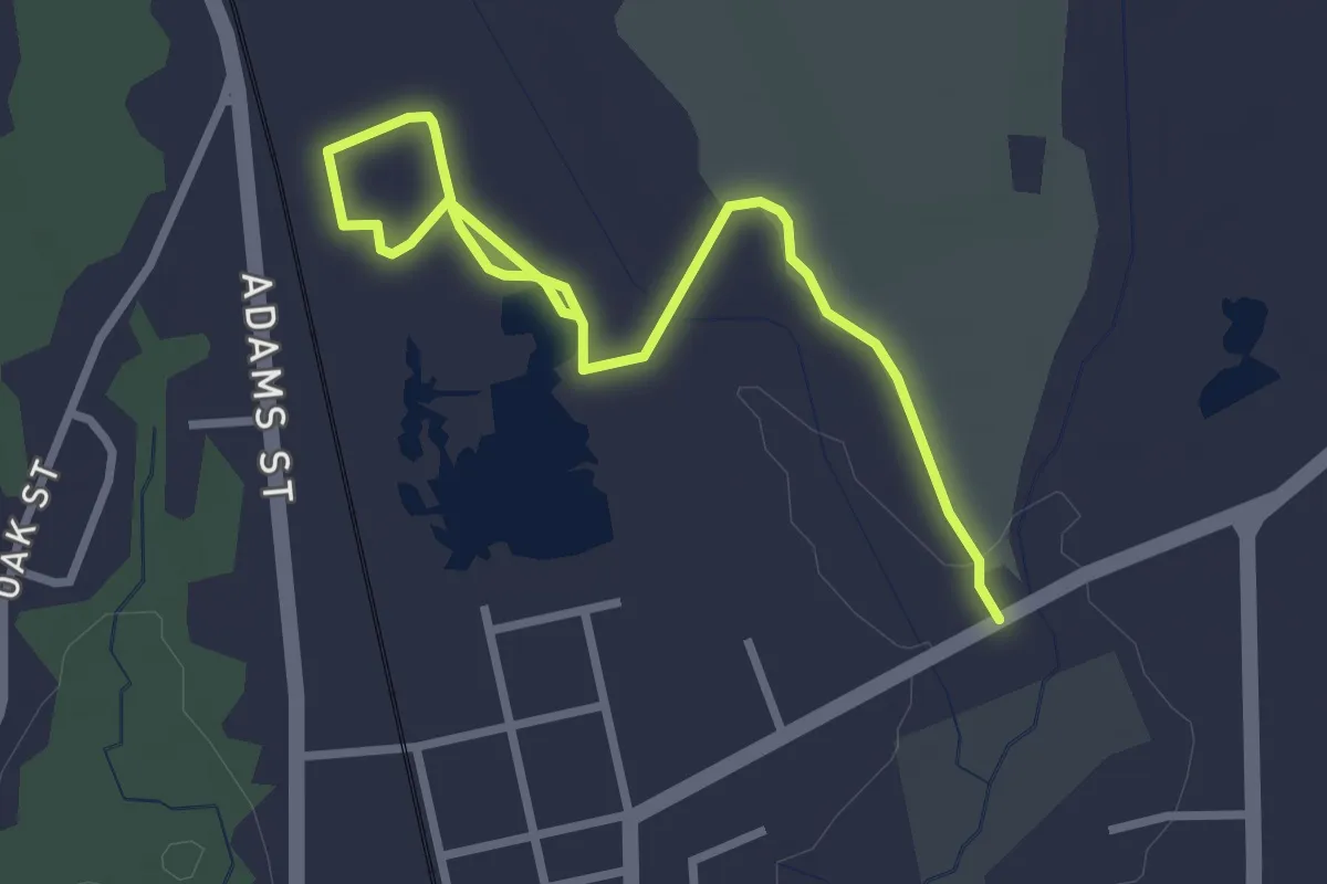
Easy · Trail
Thompson Pond Trail
1.9 km · ↑ 4 m · 29 min
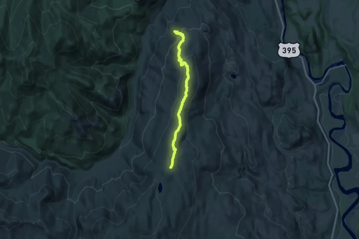
Medium · Trail
Thompson Ridge
14.4 km · ↑ 590 m · 4 h 41 min
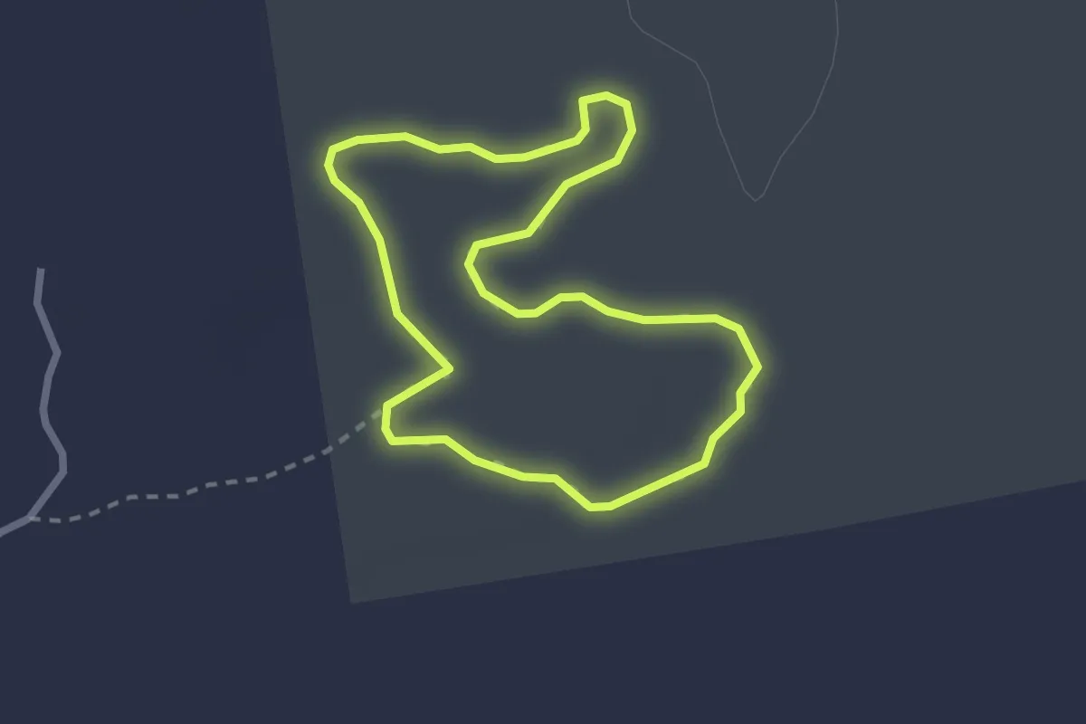
Medium · Trail
Thompson Sanctuary Wilderness Trail
2.3 km · ↑ 4 m · 34 min
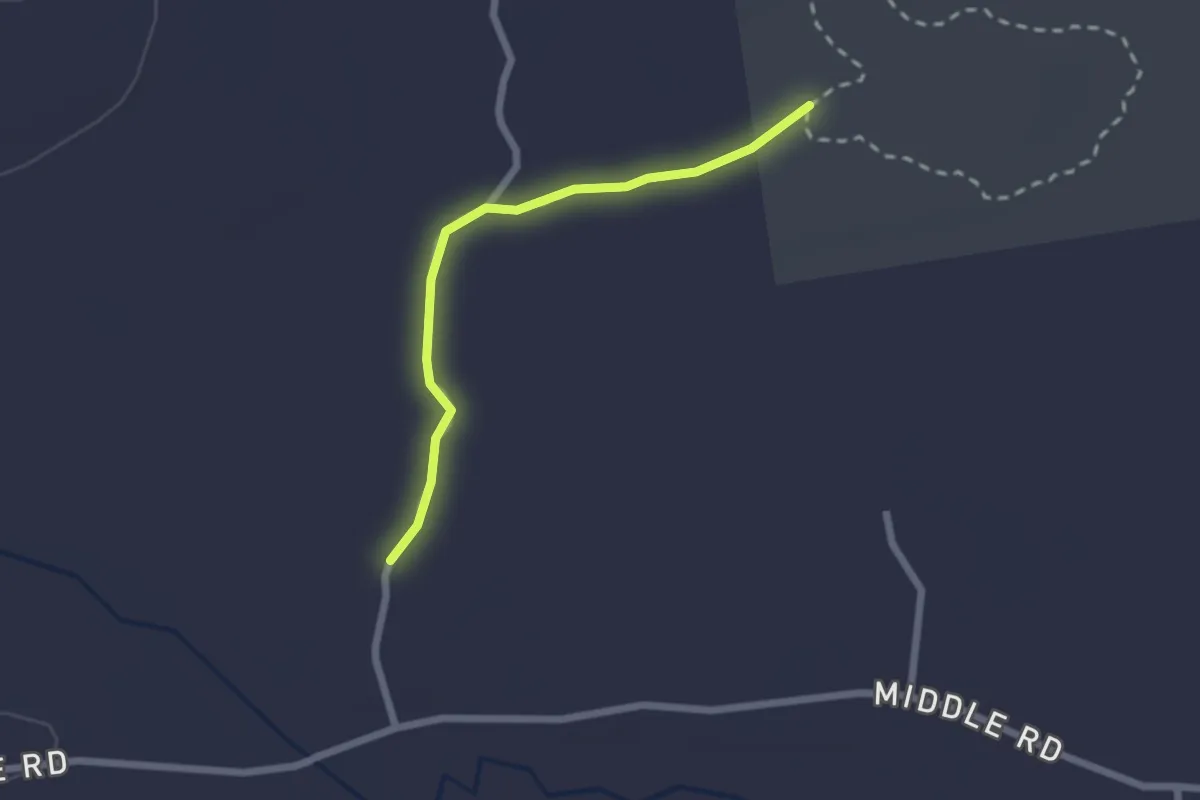
Easy · Trail
Thompson Sanctuary Wilderness Trail Connector
2.1 km · ↑ 4 m · 31 min
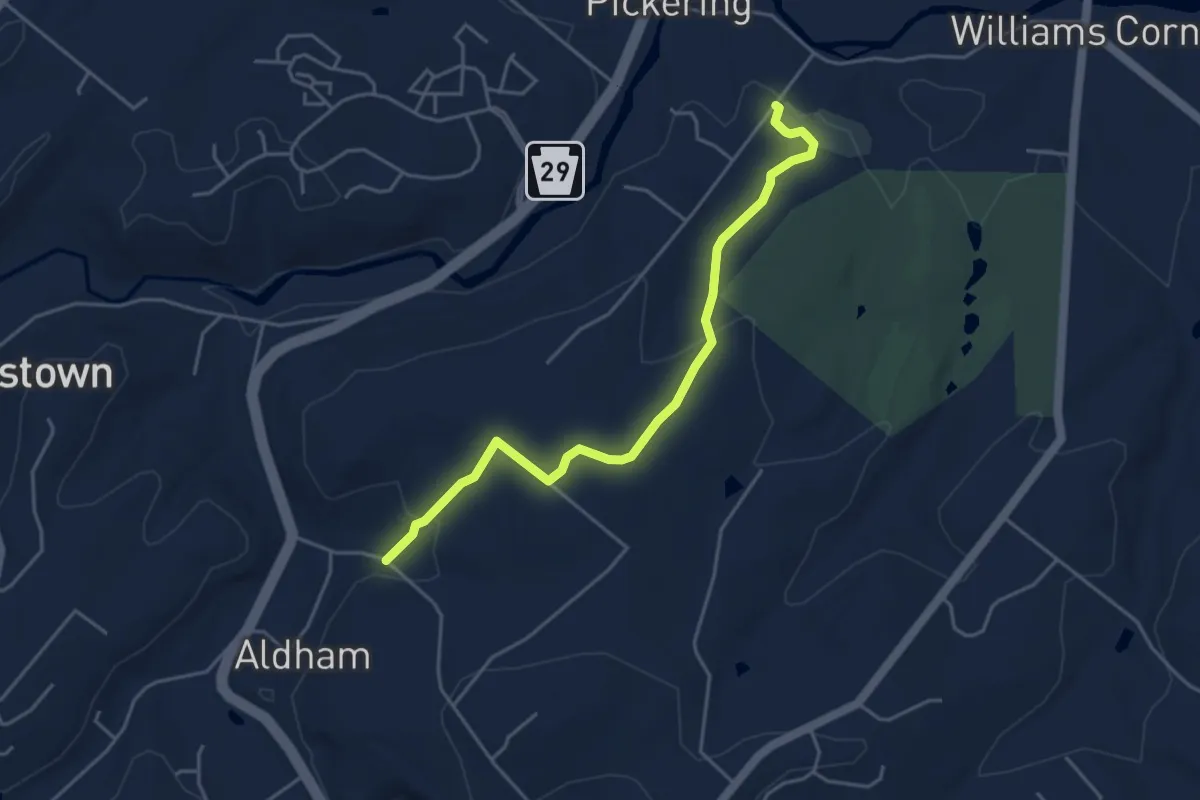
Easy · Trail
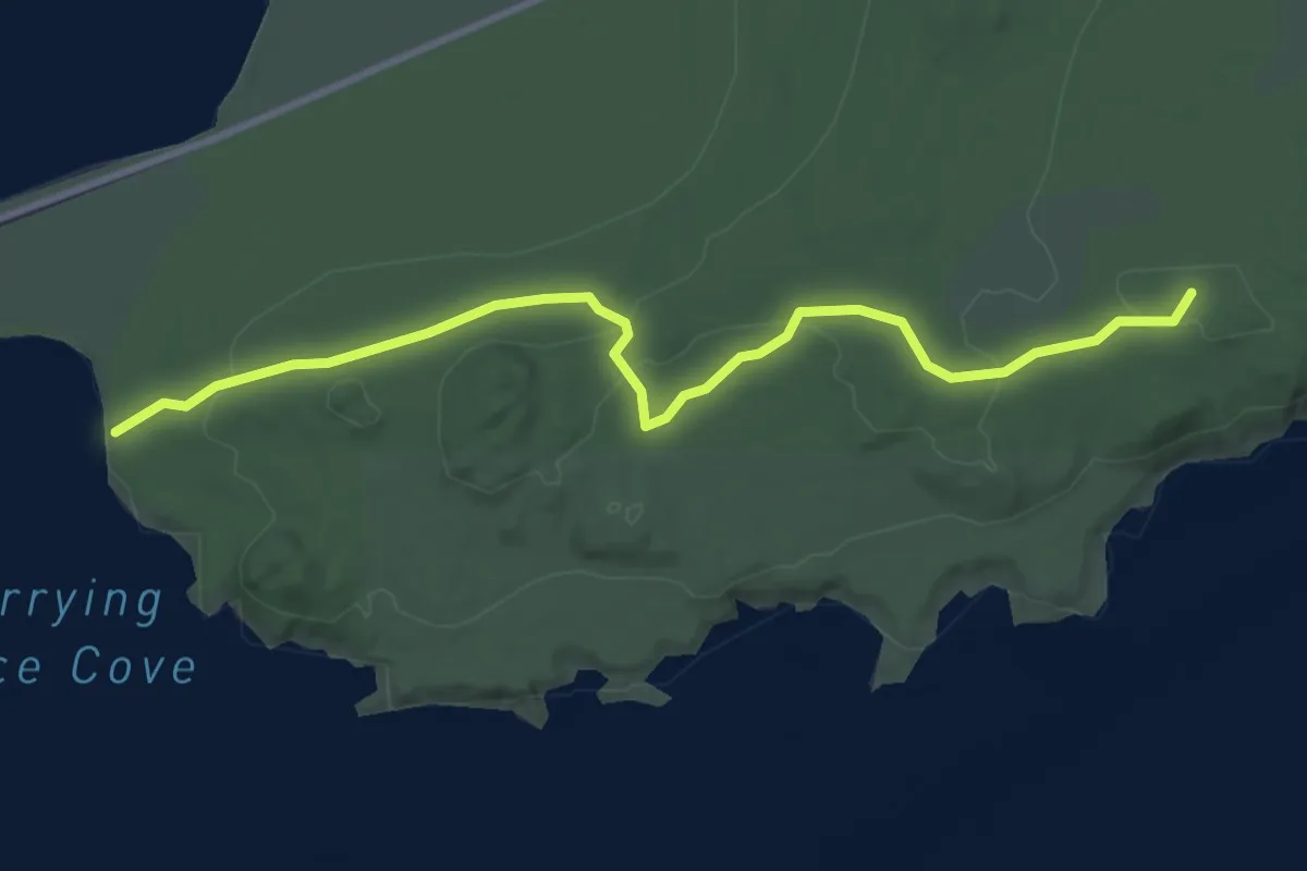
Thompson Trail
5.0 km · ↑ 126 m · 1 h 27 min
Easy · Trail
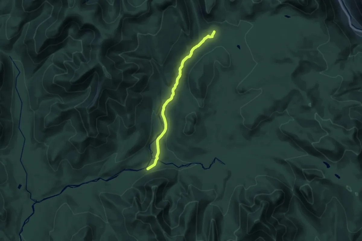
Thompson Trail
3.5 km · ↑ 59 m · 57 min
Medium · Trail
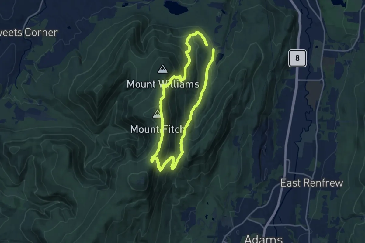
Thoreau Falls Trail
15.5 km · ↑ 367 m · 4 h 27 min
Medium · Summit
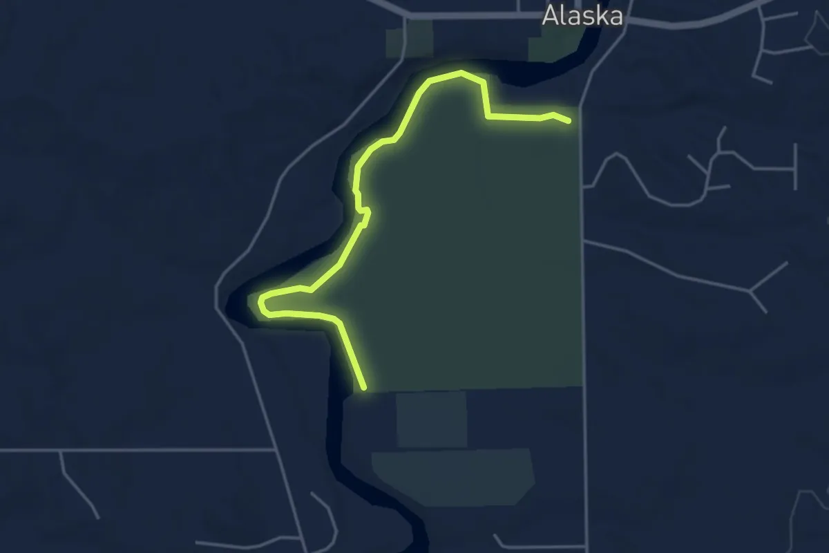
Thoreau’s Footsteps
11.5 km · ↑ 542 m · 4 h 3 min
Easy · Trail
Thornapple Riverbend Greenspace trail
4.5 km · ↑ 27 m · 1 h 7 min
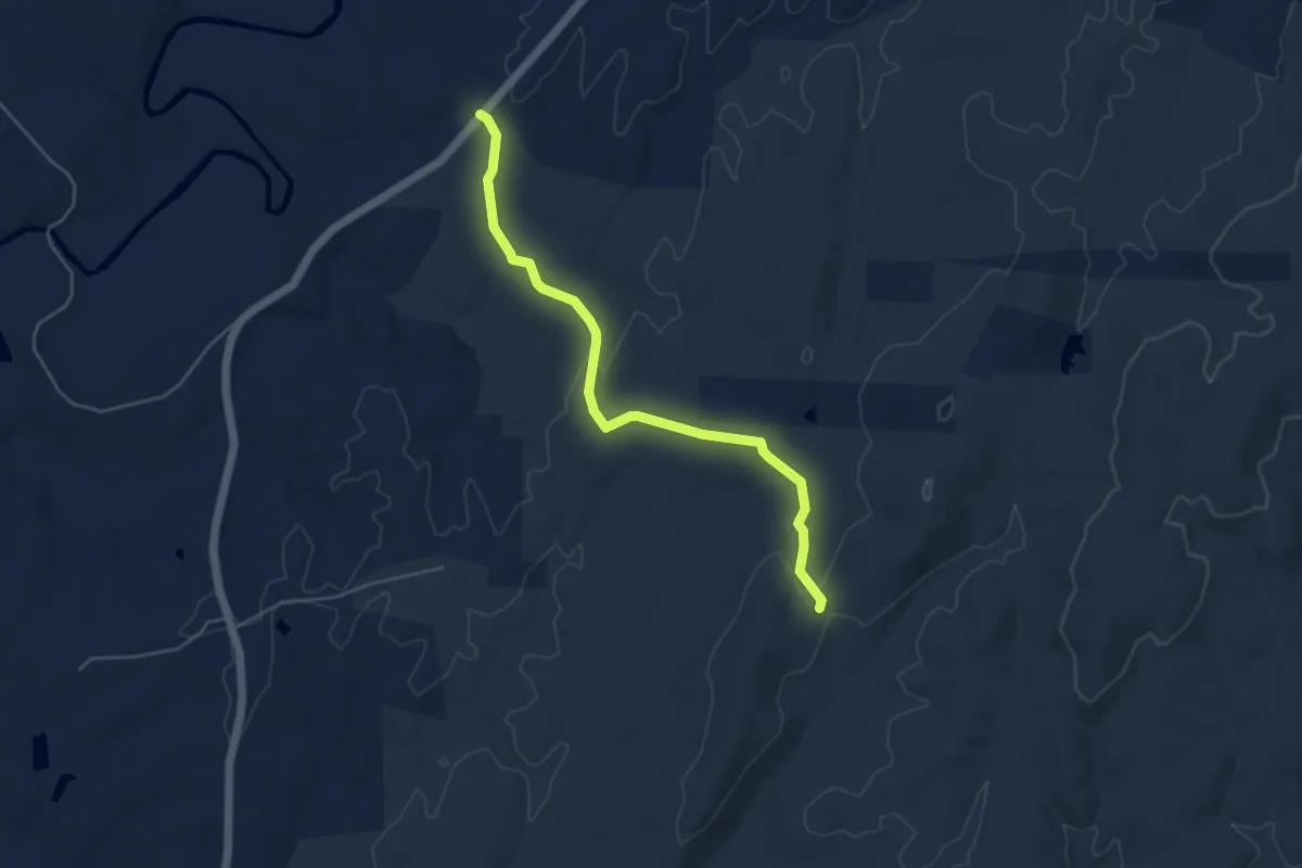
Easy · Trail
Thornburg Farm Trail
5.7 km · ↑ 105 m · 1 h 35 min
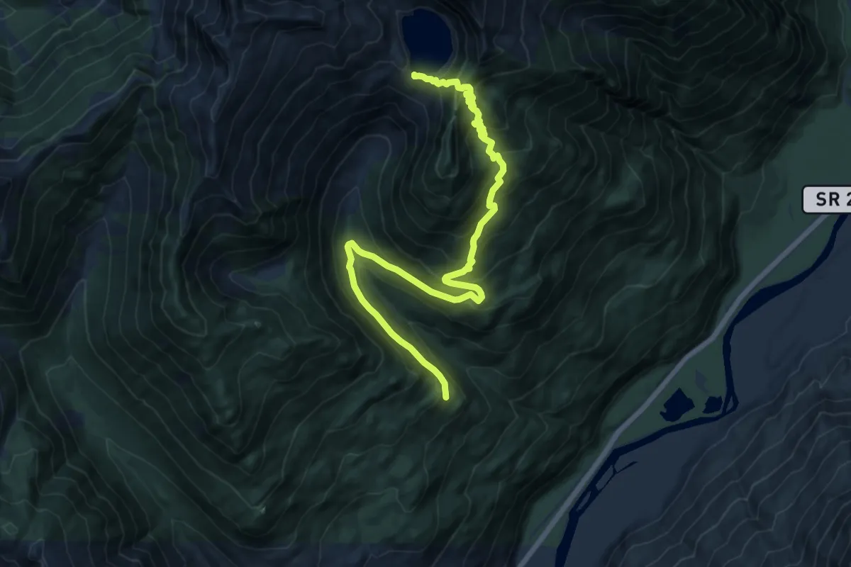
Demanding · Trail
Thornton Lakes Trail
14.5 km · ↑ 960 m · 5 h 31 min
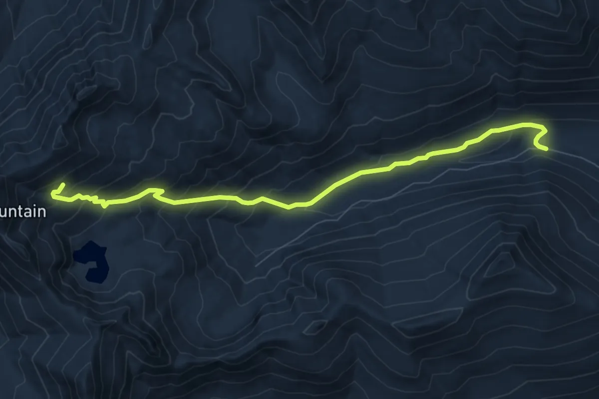
Medium · Trail
Thorp Creek Trail
8.3 km · ↑ 522 m · 3 h 6 min
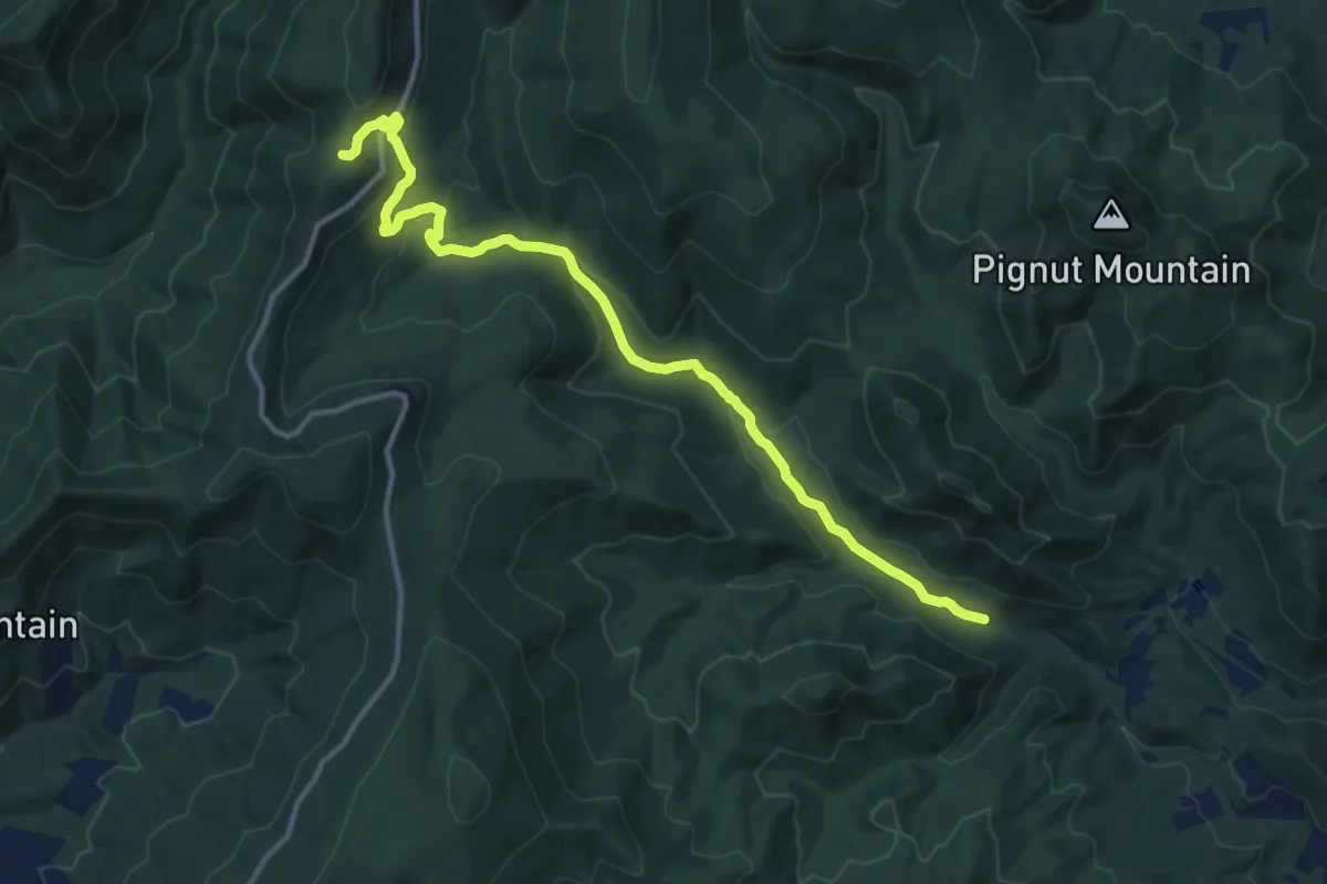
Medium · Trail
Thorton River Trail
14.5 km · ↑ 449 m · 4 h 24 min
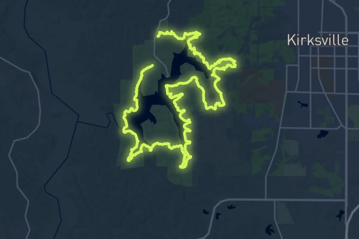
Demanding · Trail
Thousand Hills Trail - Full Route
25.1 km · ↑ 299 m · 6 h 56 min
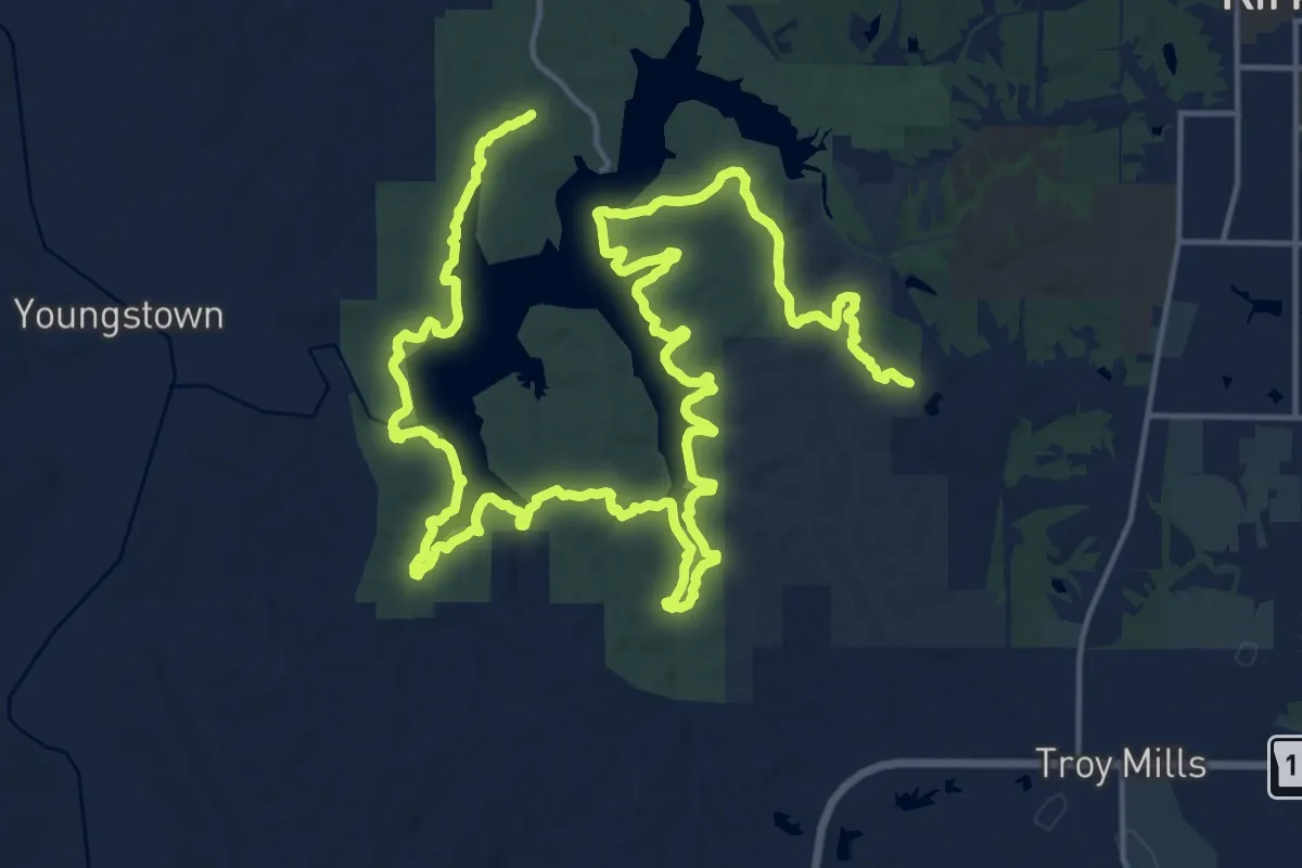
Medium · Trail
Thousand Hills Trail - South Route
17.3 km · ↑ 170 m · 4 h 43 min
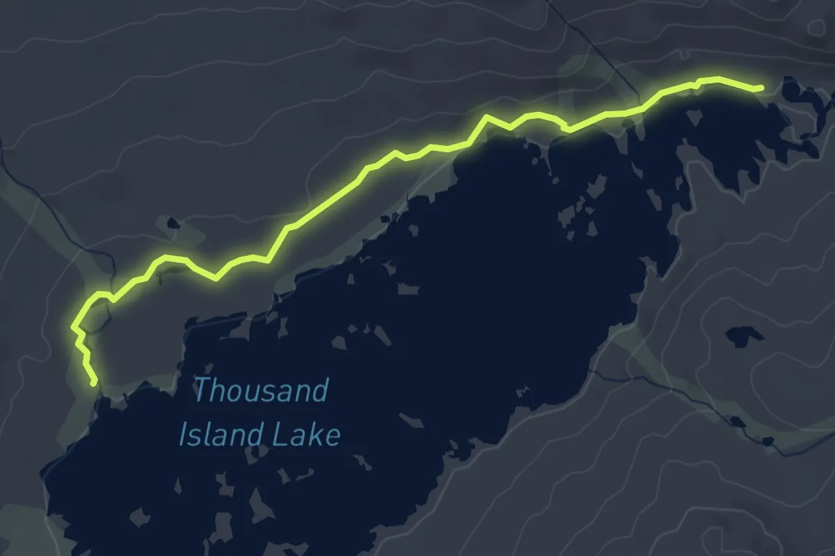
Easy · Trail
Thousand Island Lake
4.9 km · ↑ 50 m · 1 h 15 min
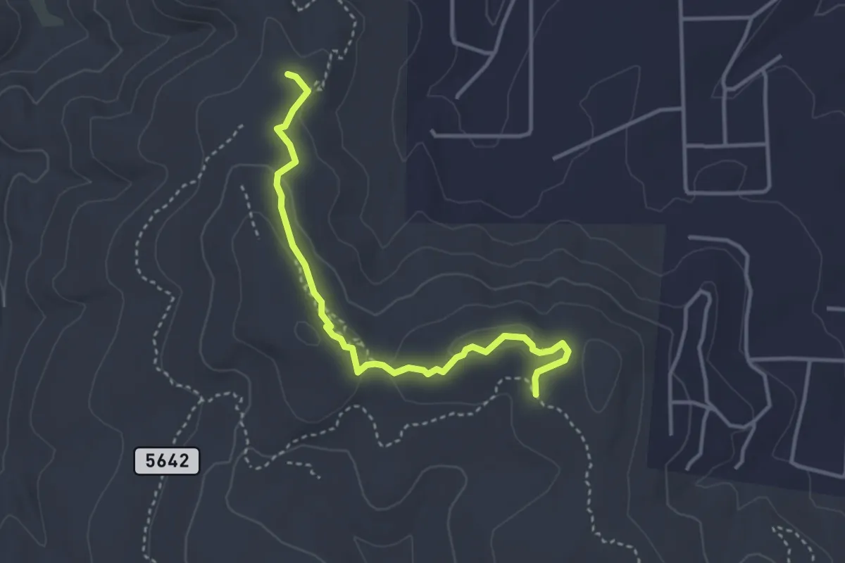
Medium · Trail
Three Bottles Advanced Trail
4.3 km · ↑ 89 m · 1 h 12 min
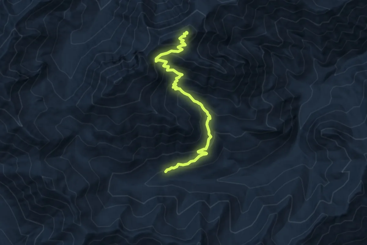
Demanding · Summit
Three Brothers Mountain Trail
10.0 km · ↑ 804 m · 4 h 6 min
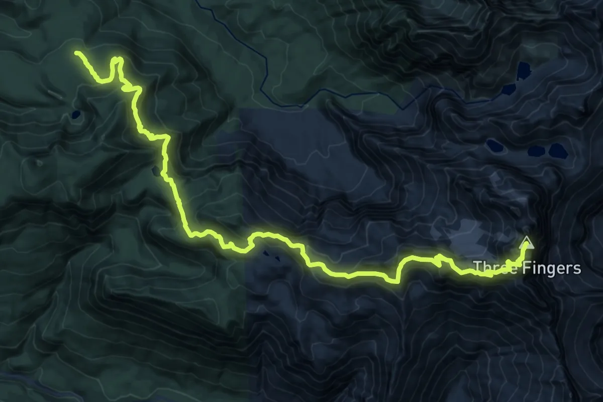
Demanding · Summit
Three Fingers-Goat Flats-Saddle Lake Trail
22.5 km · ↑ 1673 m · 8 h 56 min
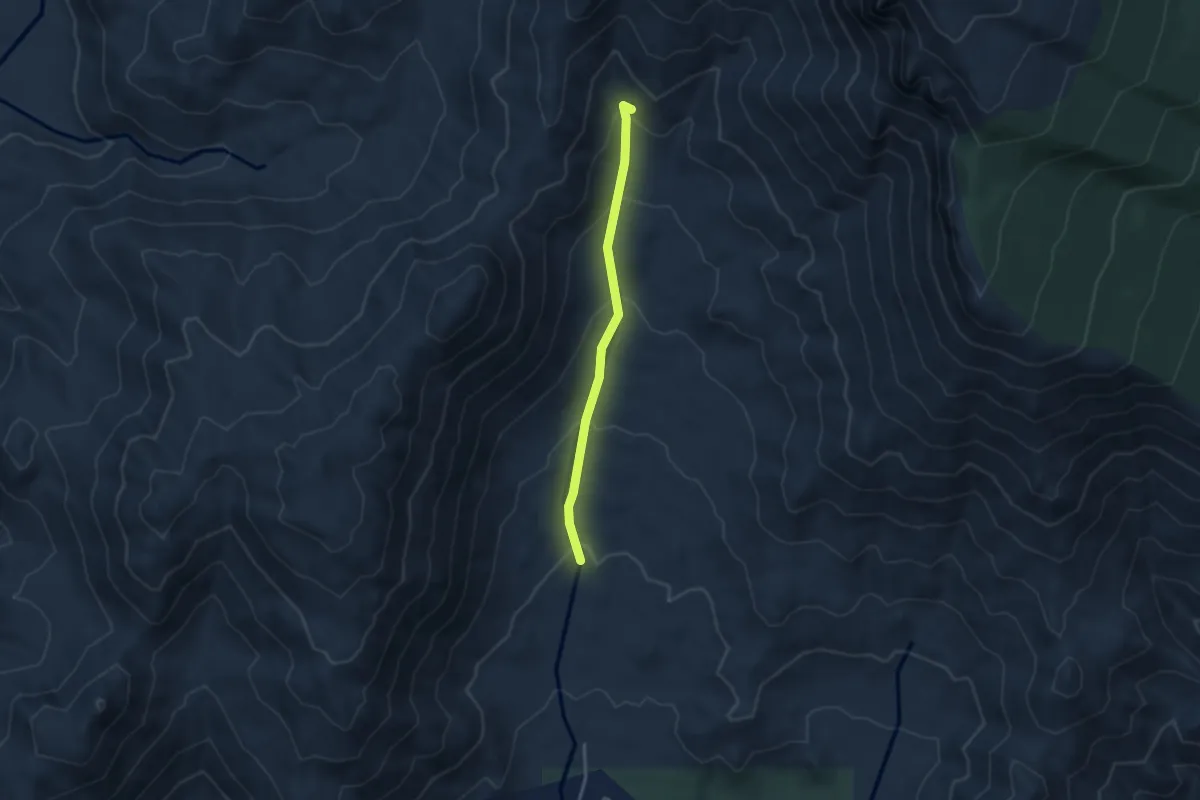
Easy · Trail
Three Gun Spring Arroyo Trail
3.5 km · ↑ 210 m · 1 h 17 min
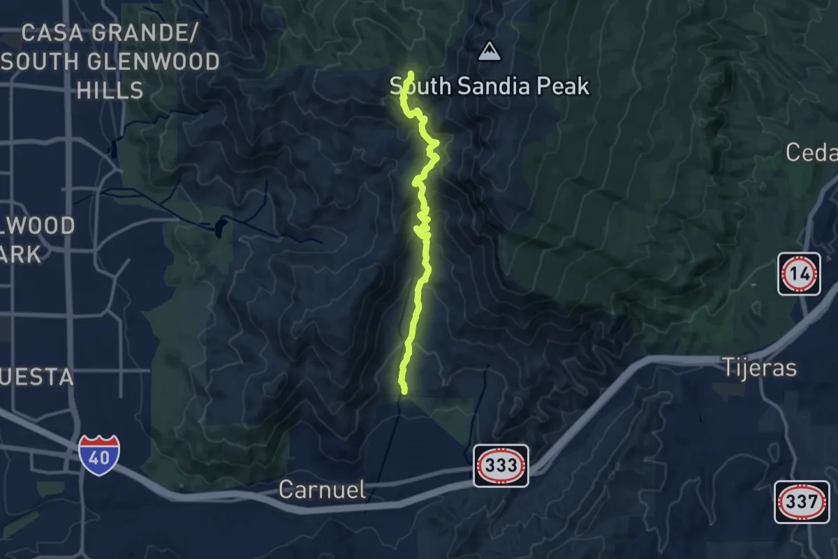
Medium · Trail
Three Gun Spring Trail
12.4 km · ↑ 722 m · 4 h 30 min
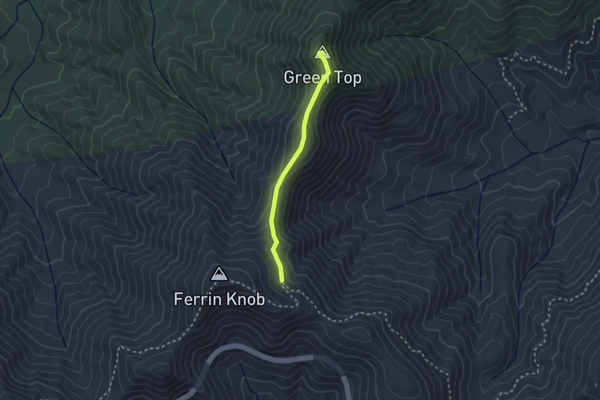
Easy · Summit
Three Humps
2.4 km · ↑ 125 m · 51 min
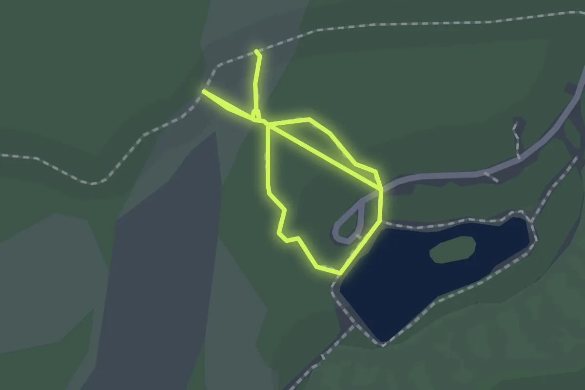
Easy · Trail
Three In One Hiking Trail
3.0 km · ↑ 0 m · 43 min
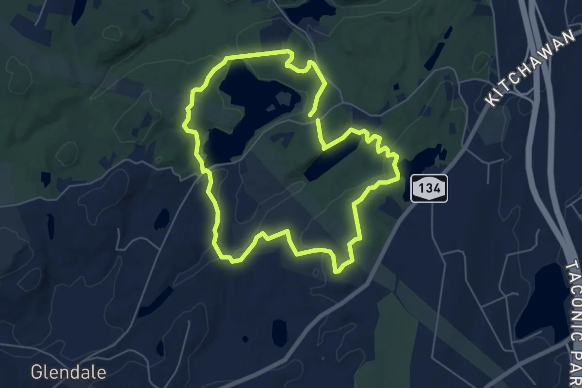
Easy · Trail
Three Lakes Loop
5.5 km · ↑ 127 m · 1 h 39 min
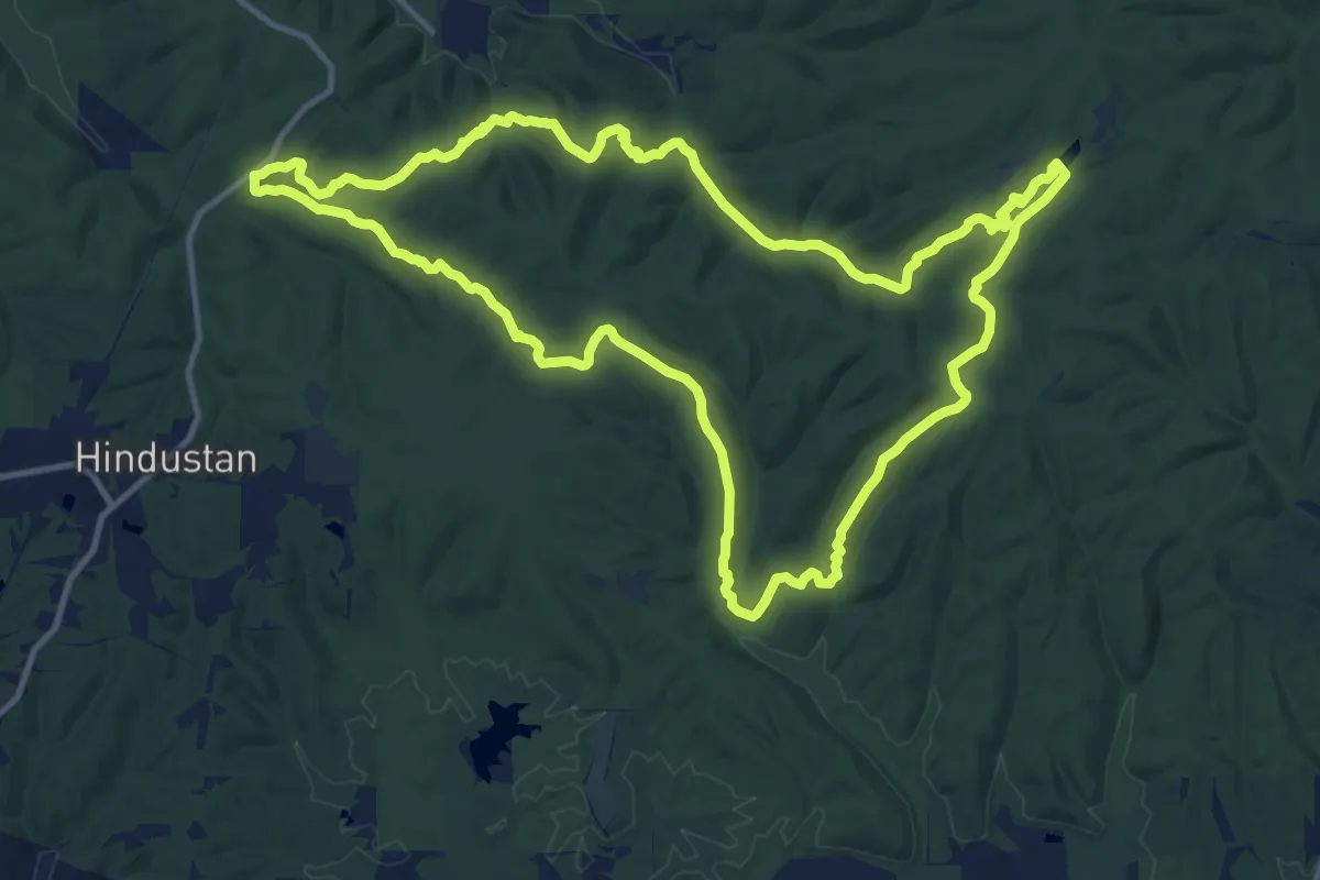
Medium · Trail
Three Lakes Trail
15.3 km · ↑ 353 m · 4 h 36 min