Trails in United States
10,367 hiking trails, each with its route, climb, walking time and grade.
All trails, page 194 of 216
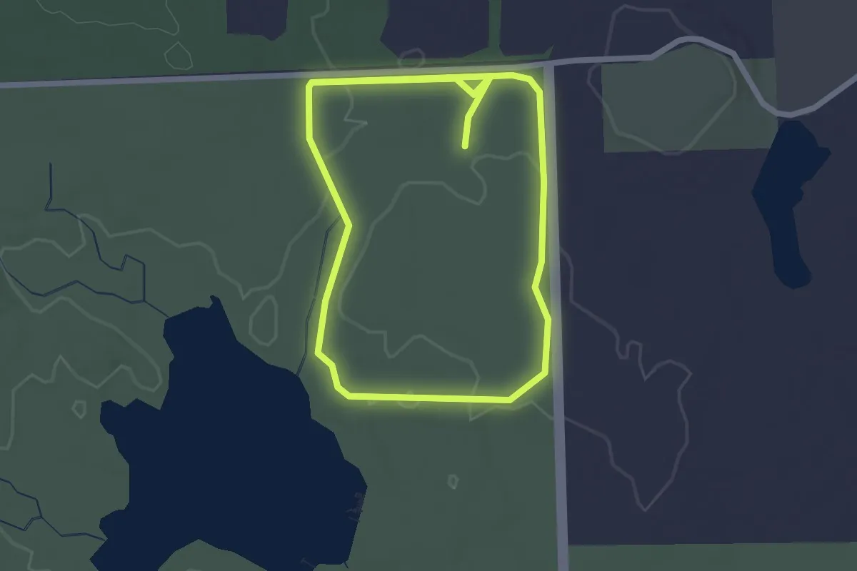
Easy · Trail
Trail Loop B
4.6 km · ↑ 32 m · 1 h 9 min
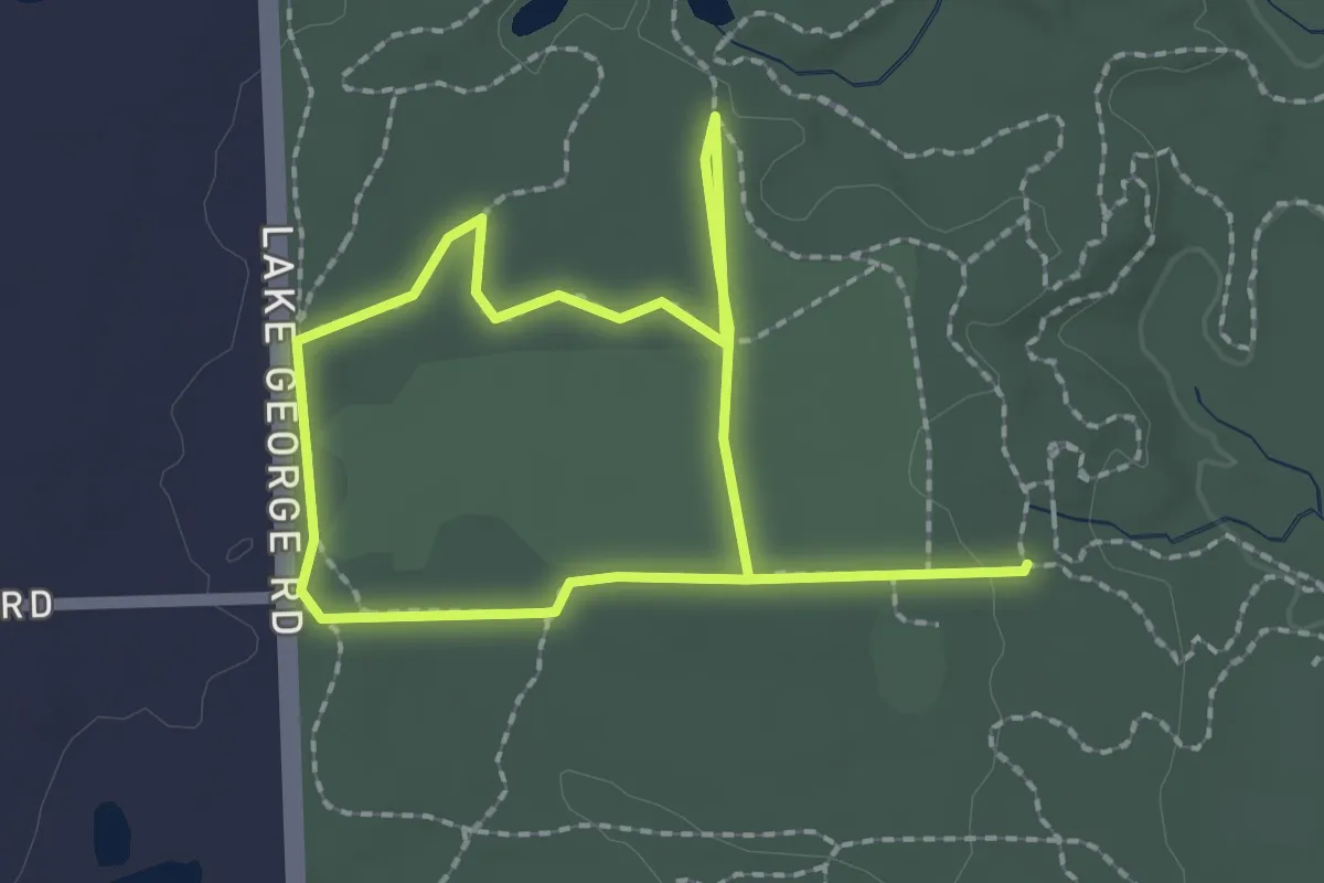
Easy · Trail
Trail Loop C
3.7 km · ↑ 14 m · 54 min
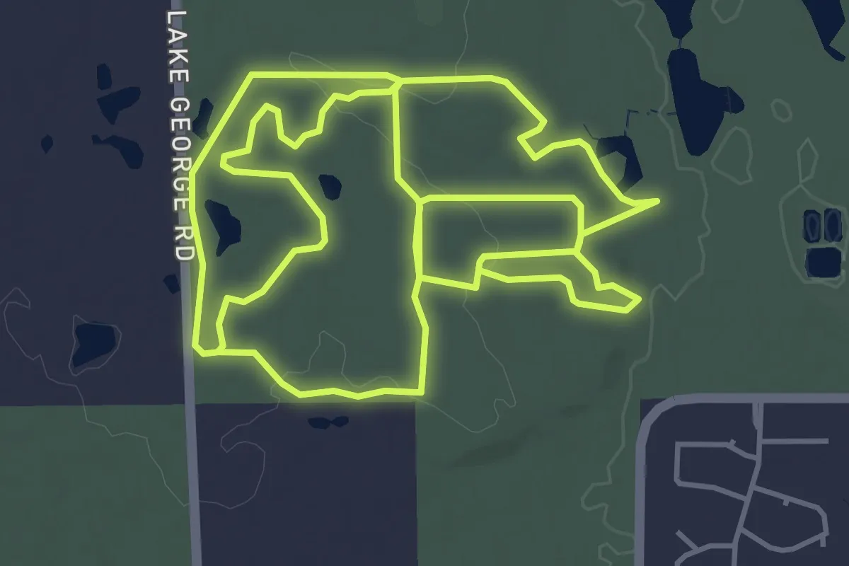
Medium · Trail
Trail Loop D
11.1 km · ↑ 85 m · 2 h 48 min
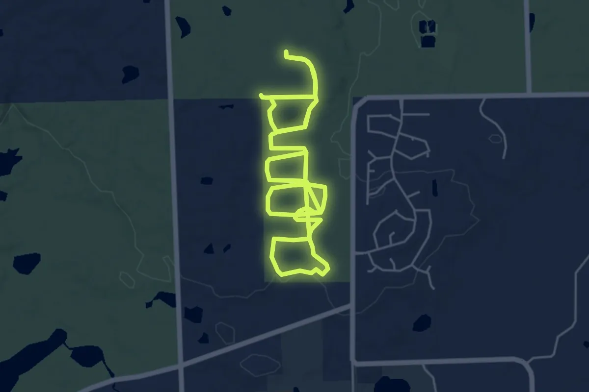
Medium · Trail
Trail Loop E
10.2 km · ↑ 54 m · 2 h 32 min
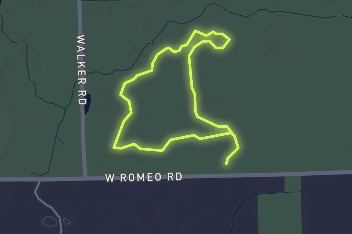
Easy · Trail
Trail Loop H
2.5 km · ↑ 9 m · 39 min
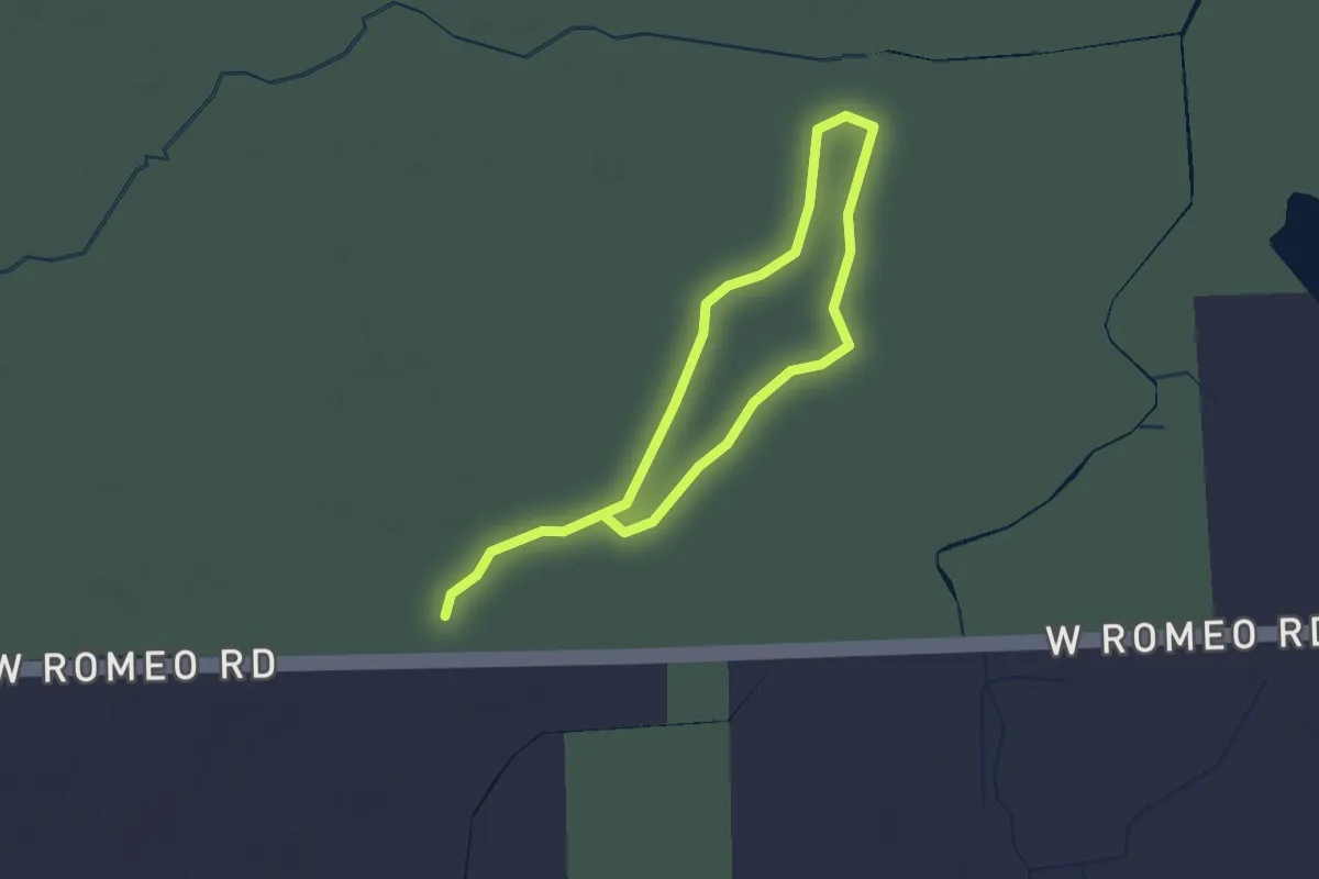
Easy · Trail
Trail Loop I
3.2 km · ↑ 0 m · 45 min
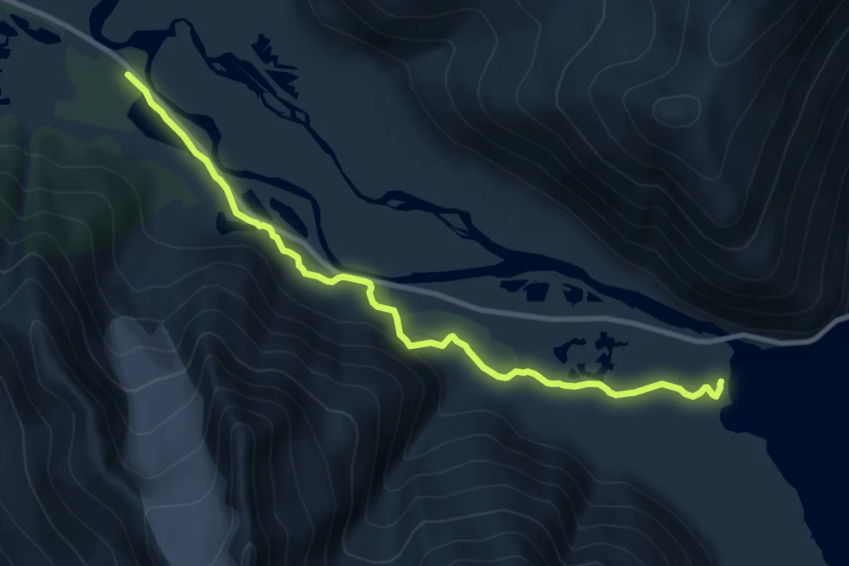
Medium · Trail
Trail of Blue Ice
11.9 km · ↑ 217 m · 3 h 17 min
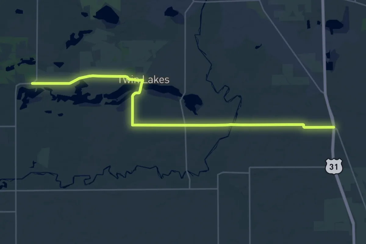
Demanding · Trail
Trail of Death
27.8 km · ↑ 96 m · 6 h 46 min
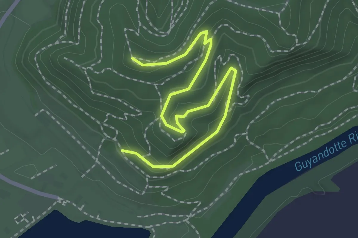
Easy · Trail
Trail of Doom
2.5 km · ↑ 73 m · 46 min
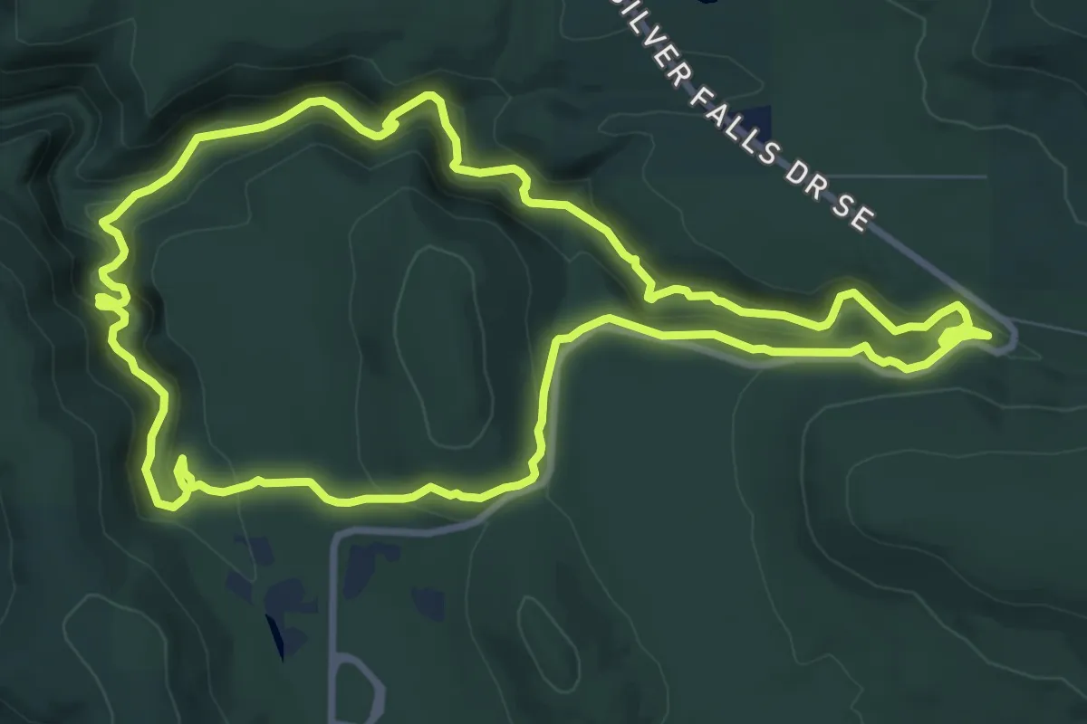
Medium · Trail
Trail of Ten Falls
10.1 km · ↑ 425 m · 3 h 26 min
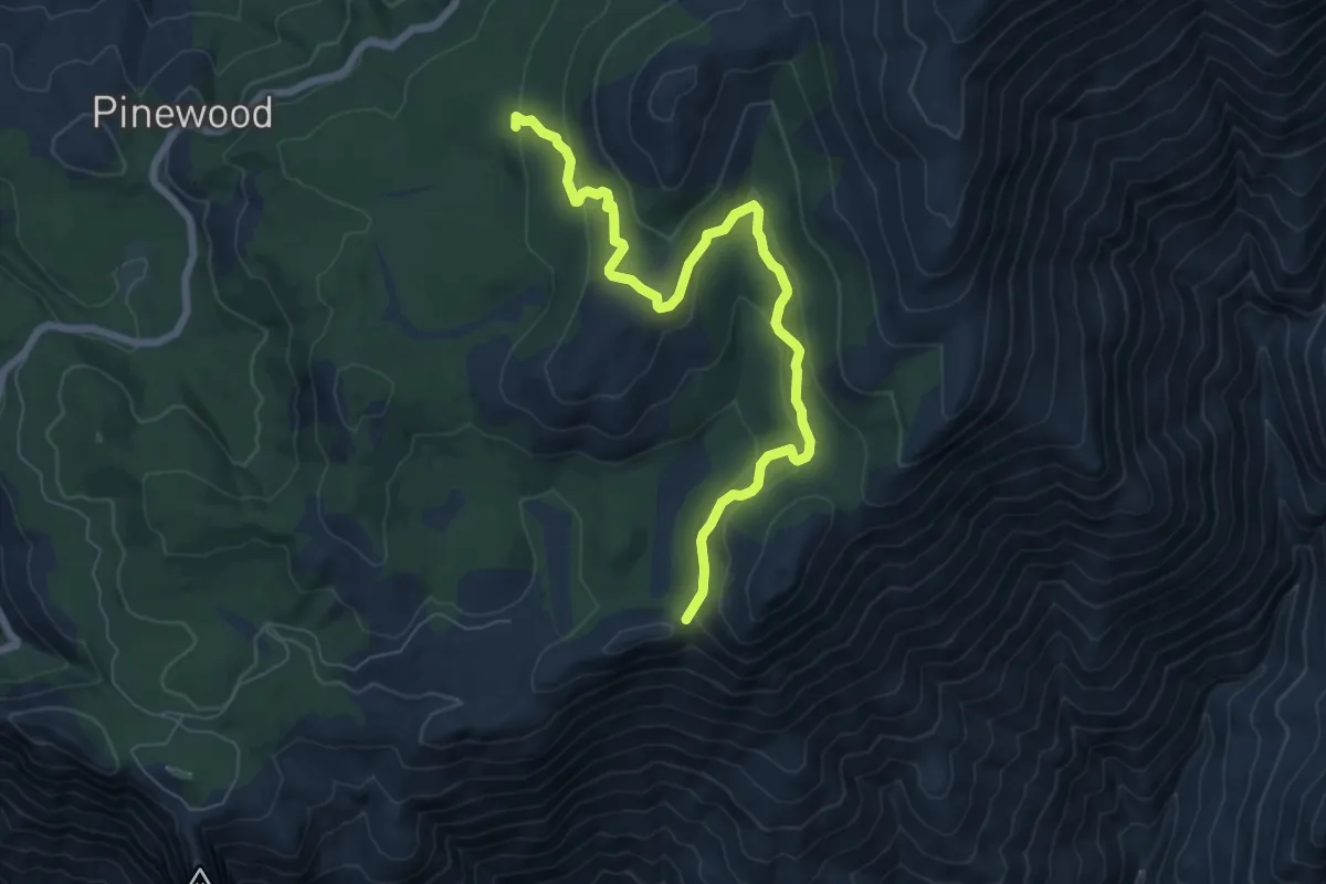
Medium · Trail
Trail of the Sequoias
8.6 km · ↑ 428 m · 2 h 58 min
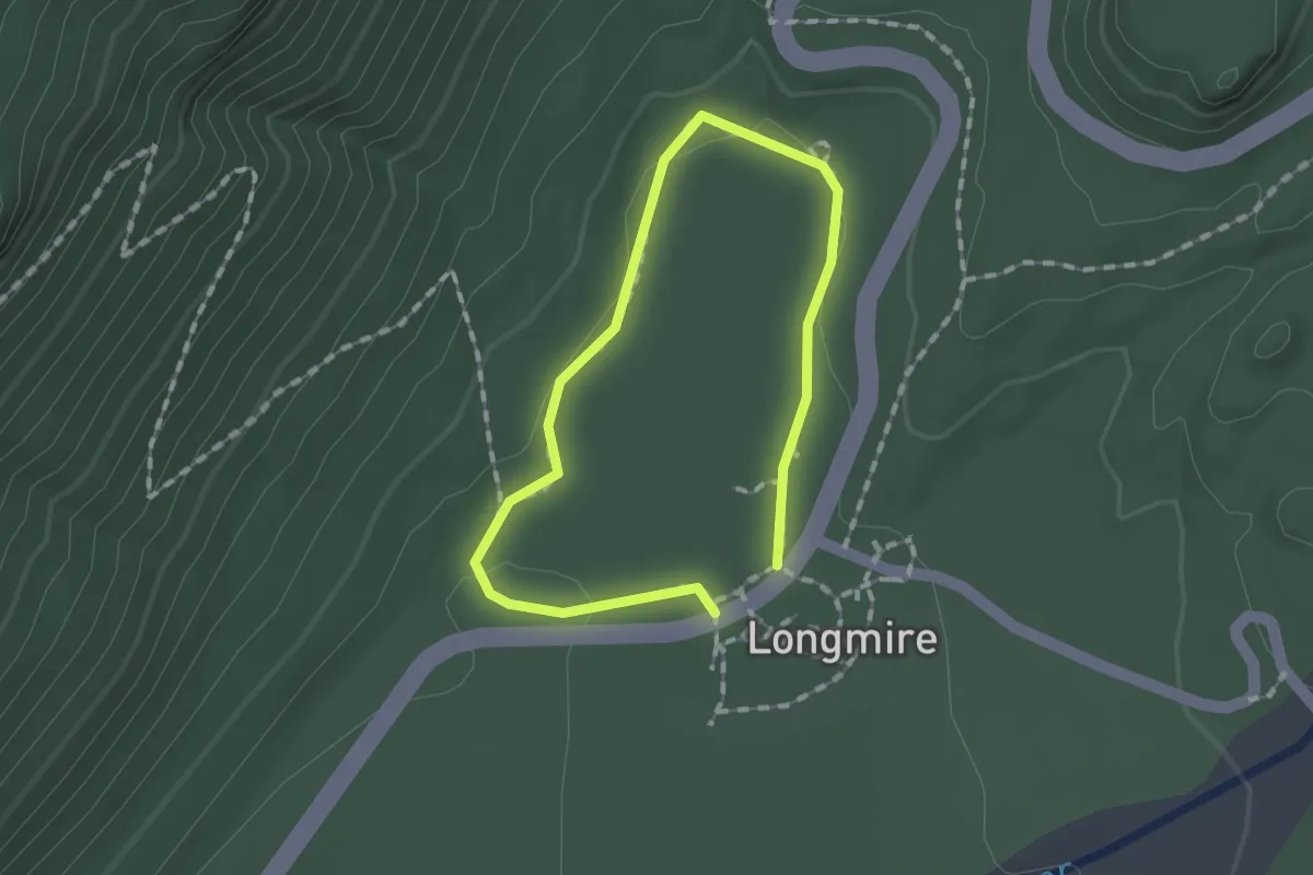
Easy · Trail
Trail of the Shadows
1.0 km · ↑ 14 m · 17 min
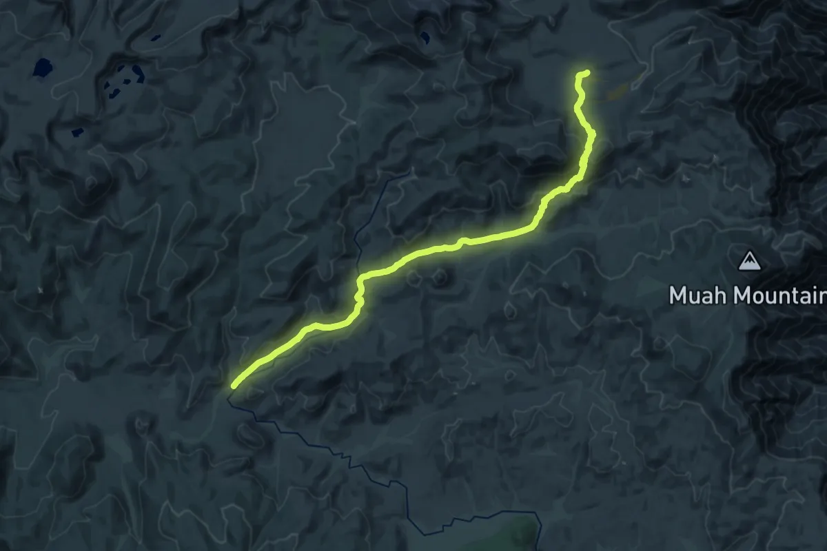
Medium · Trail
Trail Pass Trail
16.9 km · ↑ 568 m · 5 h 19 min
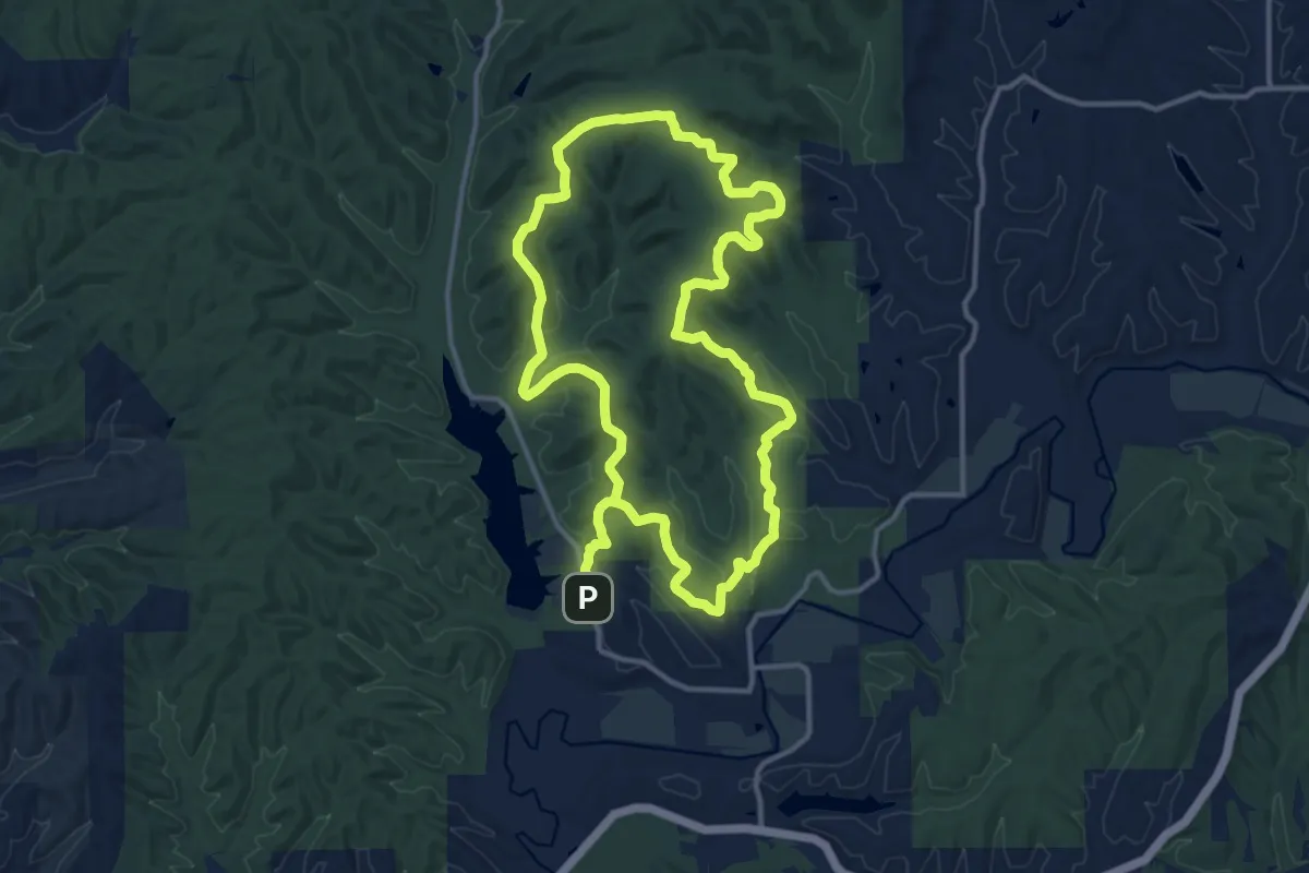
Demanding · Trail
Trail Y
28.3 km · ↑ 518 m · 7 h 48 min
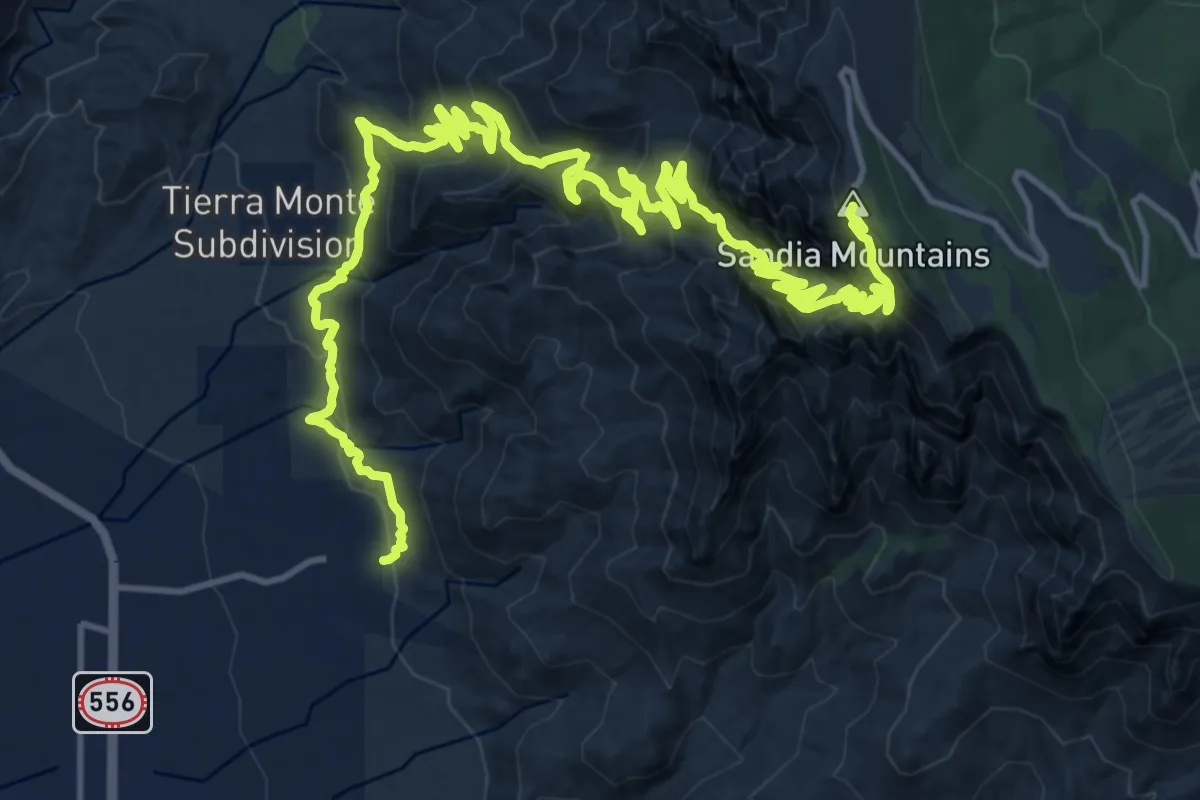
Demanding · Summit
Tram Lower Terminal to Sandia Crest
27.2 km · ↑ 1637 m · 9 h 58 min
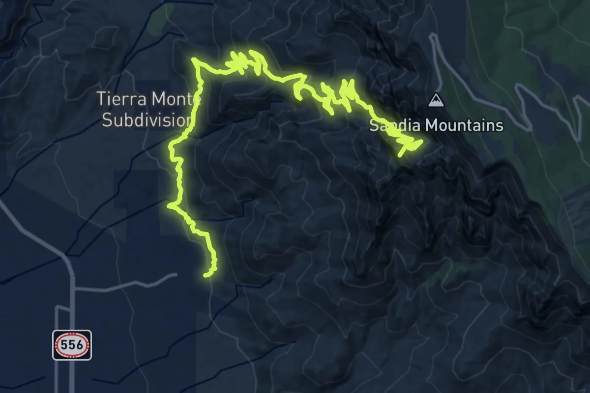
Demanding · Summit
Tram Lower to Upper Terminal via Tramway Tr and La Luz
22.9 km · ↑ 1299 m · 8 h 13 min
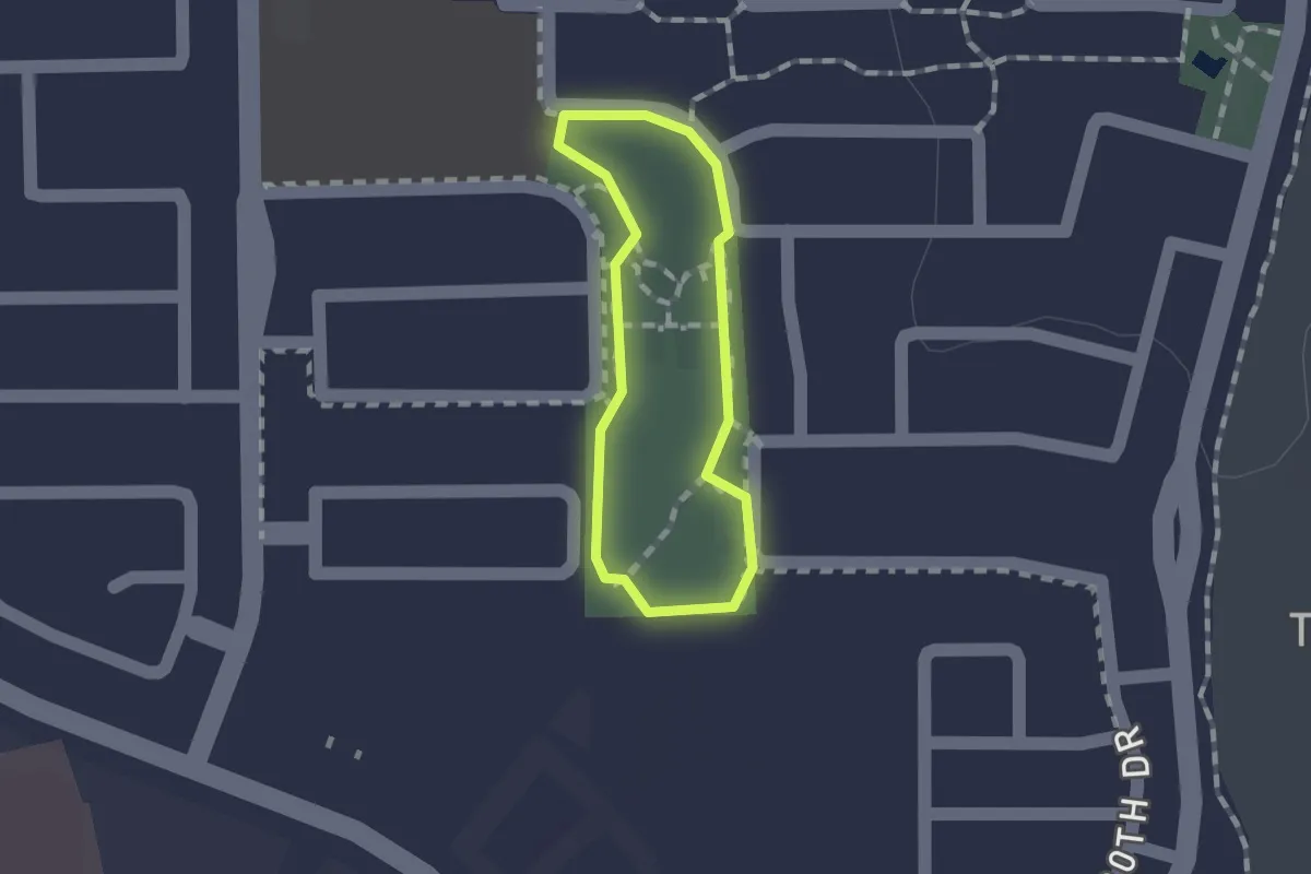
Easy · Trail
Tramonto Park Walking Path
1.1 km · ↑ 0 m · 16 min
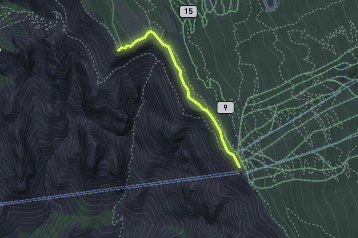
Medium · Trail
Tram to Kiwanis Cabin via Kiwanis Cabin Trail
2.9 km · ↑ 85 m · 52 min
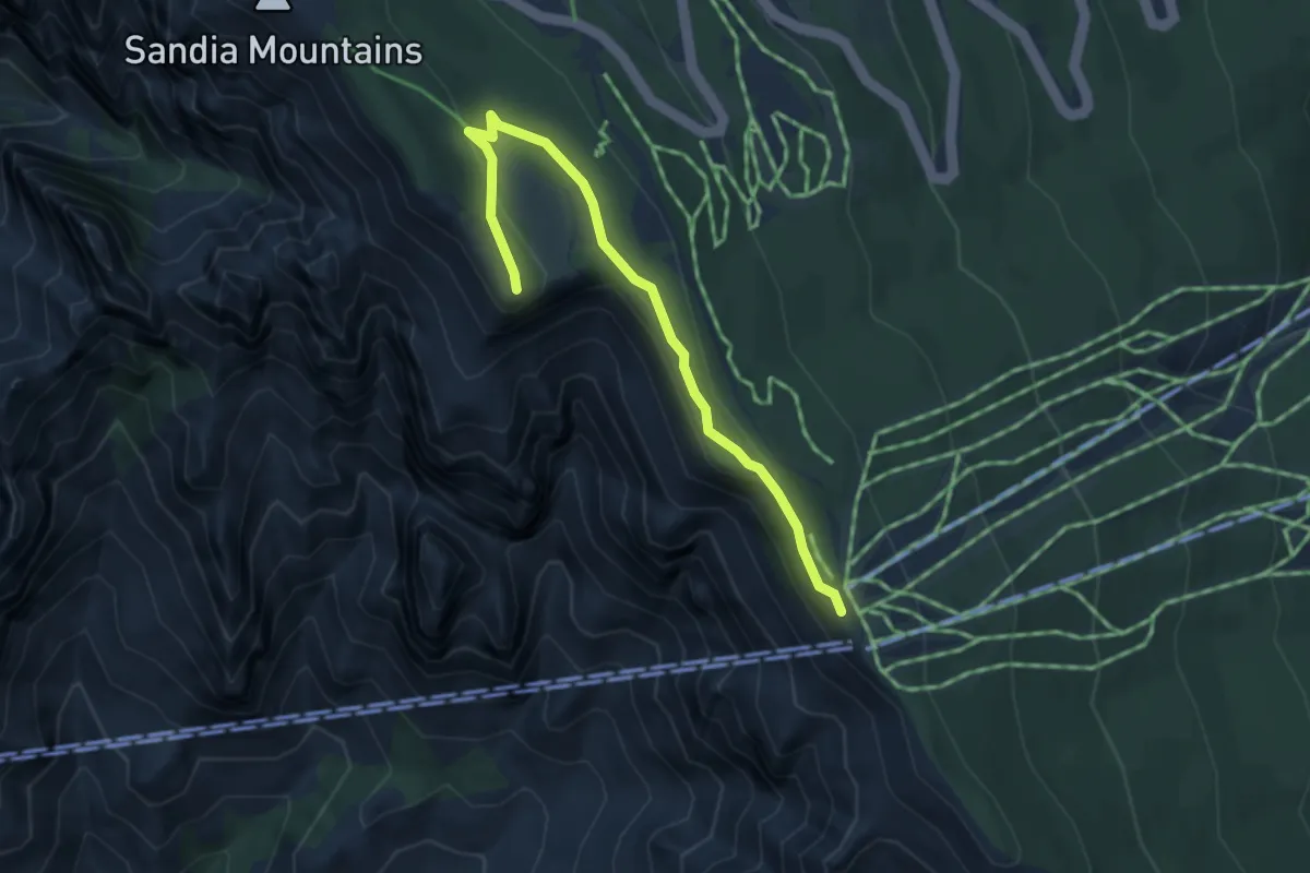
Medium · Trail
Tram to Kiwanis Cabin vis Kiwanis Meadow Road
4.2 km · ↑ 99 m · 1 h 13 min
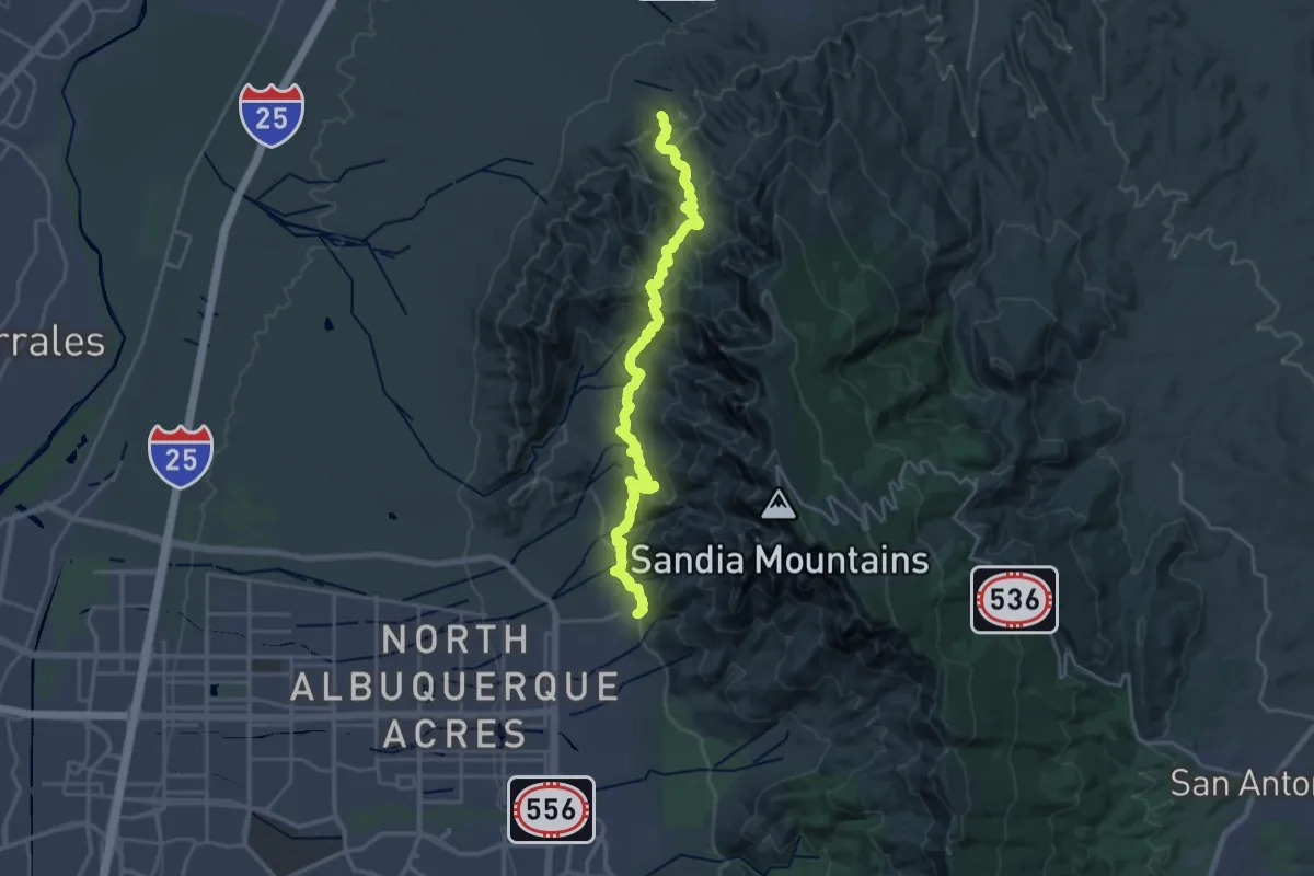
Demanding · Trail
Tram to Piedra Lisa North Trailhead
14.3 km · ↑ 753 m · 5 h 15 min
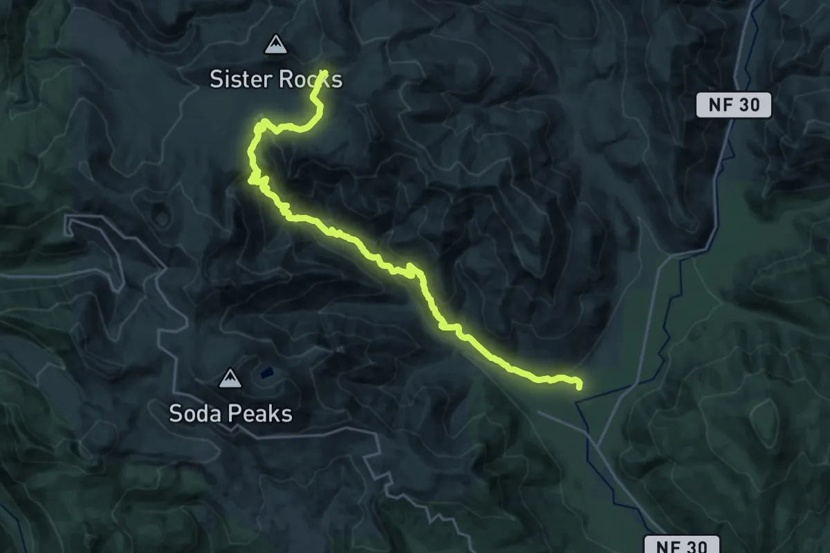
Demanding · Trail
Trapper Creek Trail #192
12.2 km · ↑ 1108 m · 5 h 3 min
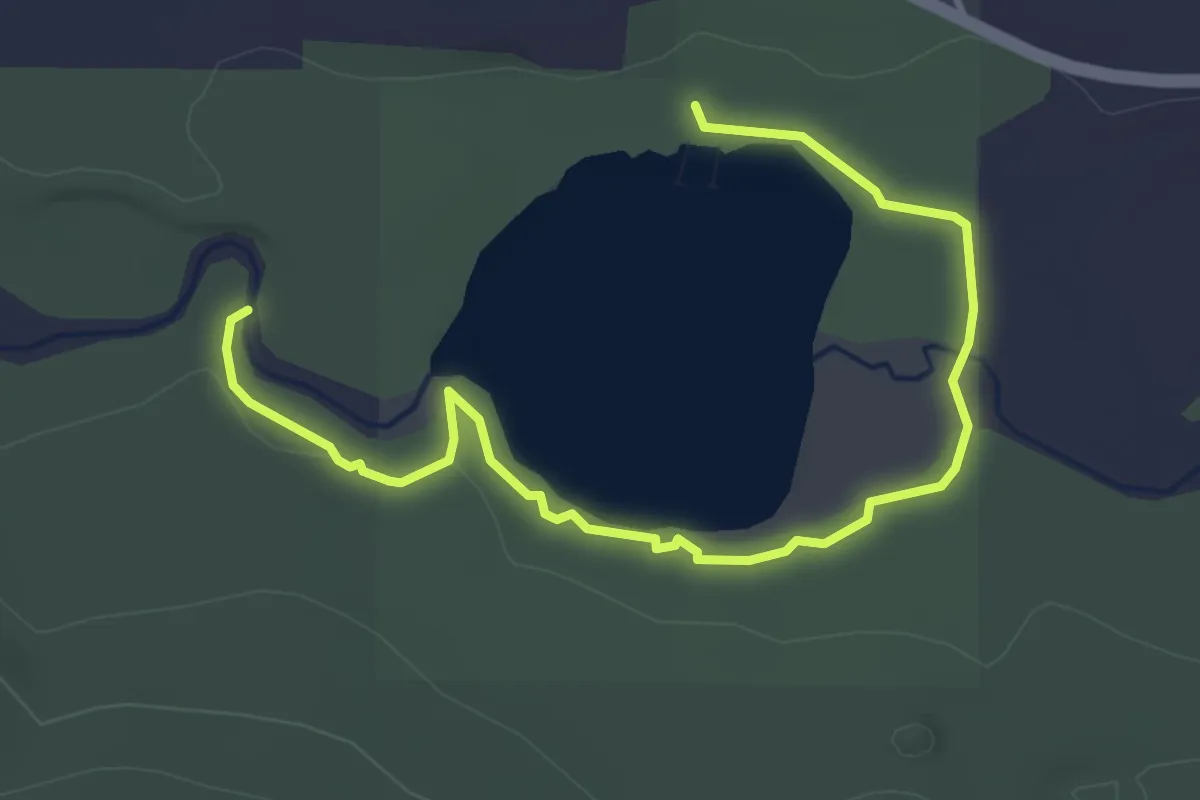
Easy · Trail
Trapper's Trail
4.3 km · ↑ 9 m · 1 h 3 min
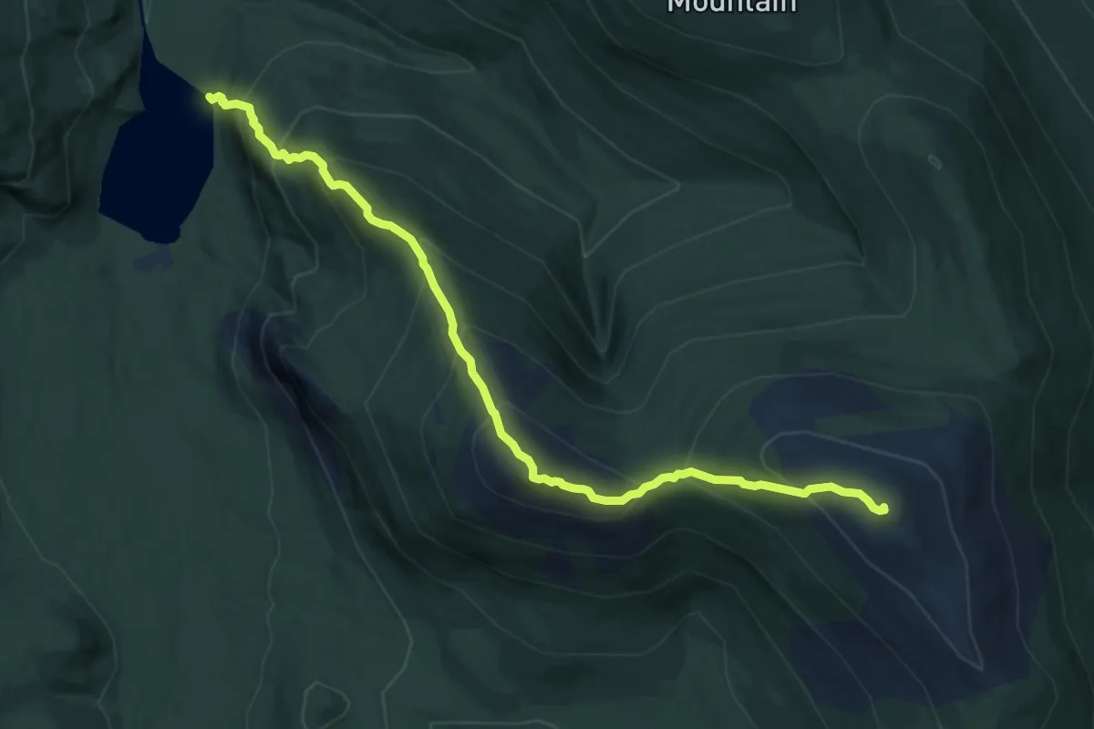
Demanding · Summit
Traverler Mountain Trail
9.8 km · ↑ 960 m · 4 h 24 min
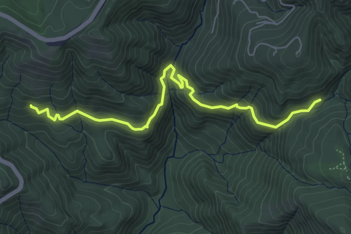
Easy · Trail
Travertine Springs Trail
6.4 km · ↑ 299 m · 2 h 10 min
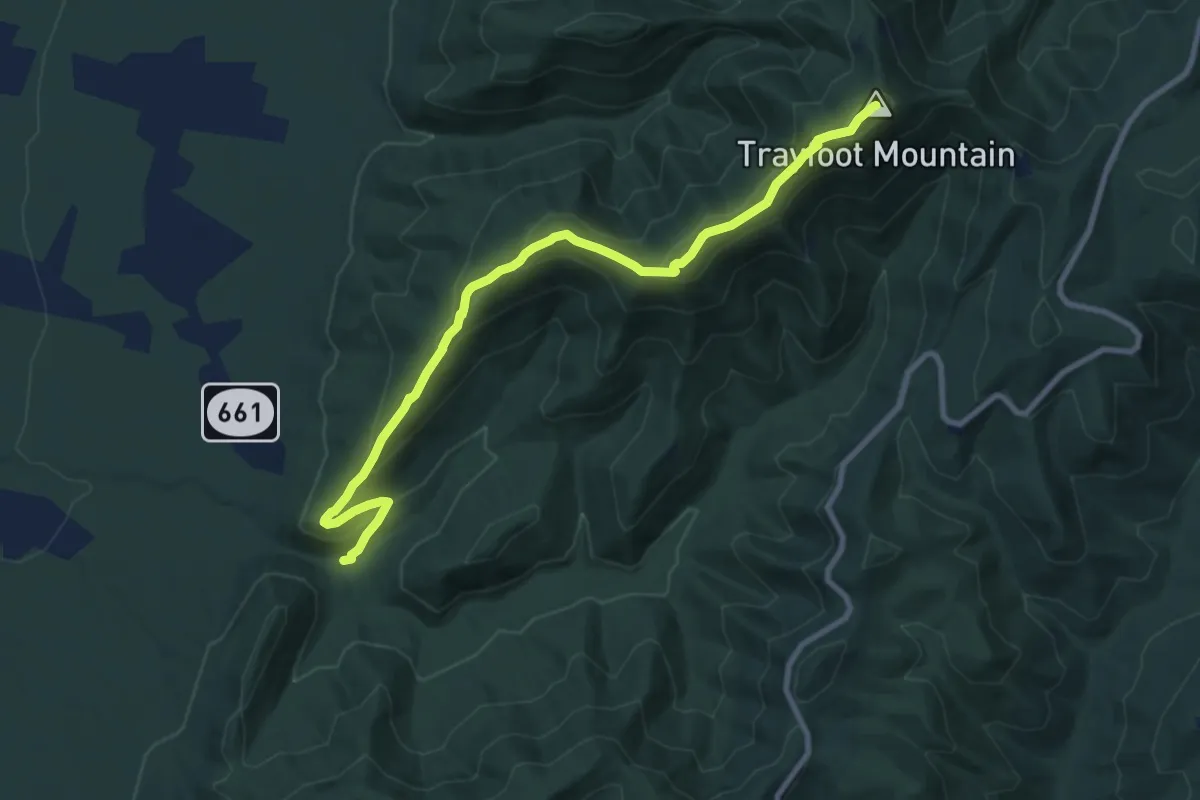
Medium · Summit
Trayfoot Mountain Trail
11.7 km · ↑ 653 m · 4 h 11 min
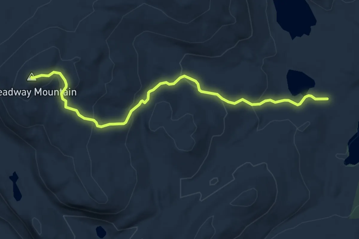
Easy · Summit
Treadway Mountain Trail
6.1 km · ↑ 308 m · 2 h 7 min
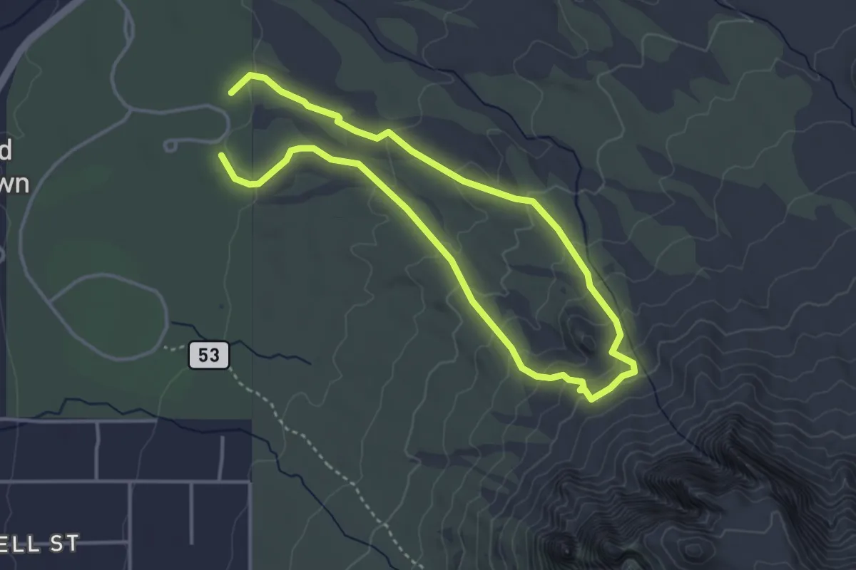
Easy · Trail
Treasure Loop
3.7 km · ↑ 161 m · 1 h 17 min
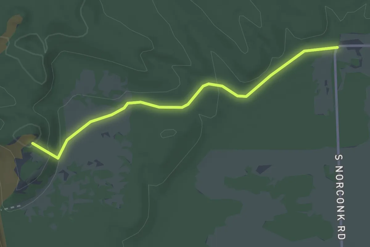
Easy · Summit
Treat Farm Trail
2.9 km · ↑ 69 m · 50 min
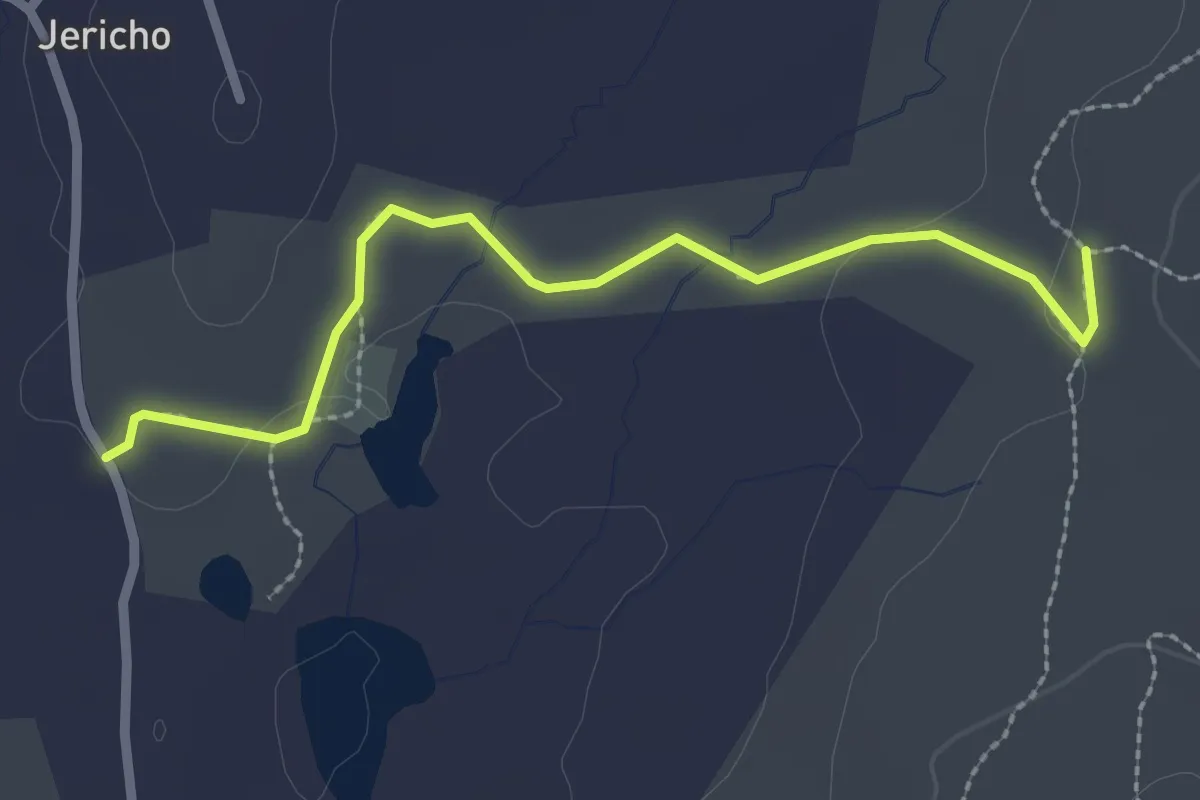
Easy · Trail
Tree in the Gap Trail
2.8 km · ↑ 35 m · 44 min
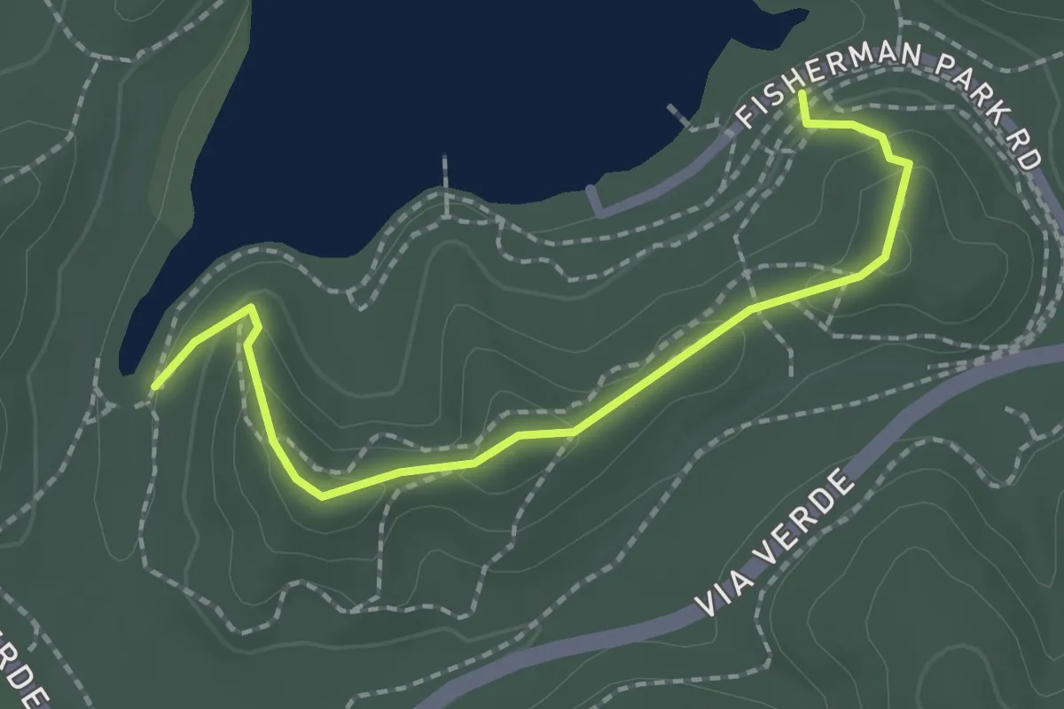
Easy · Trail
Tree Line Trail
2.4 km · ↑ 129 m · 51 min
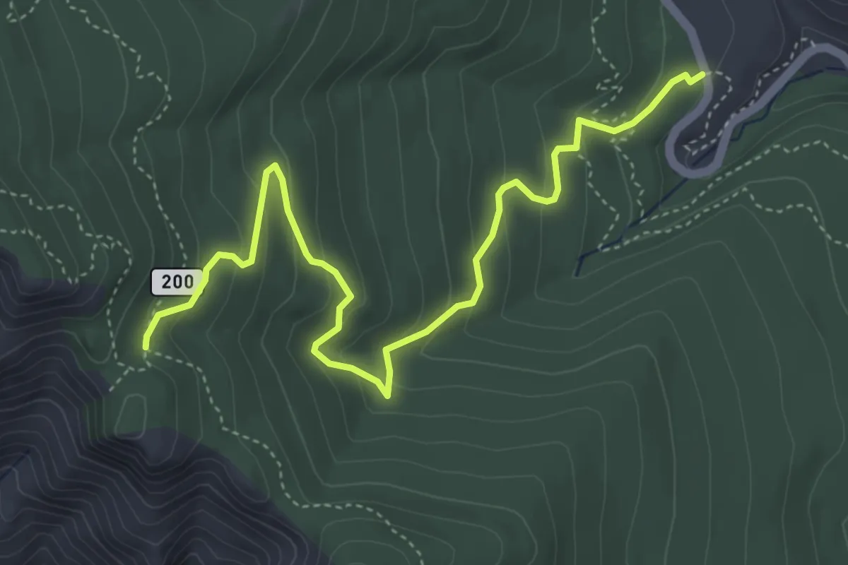
Medium · Trail
Tree Spring Trail
6.2 km · ↑ 294 m · 2 h 6 min
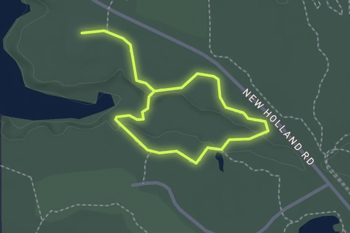
Easy · Trail
Tree Trail
3.0 km · ↑ 31 m · 46 min
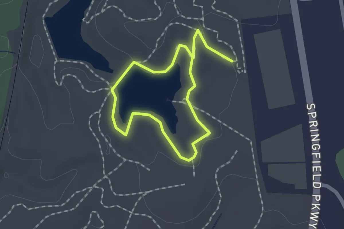
Easy · Trail
Trekker Loop
1.3 km · ↑ 13 m · 21 min
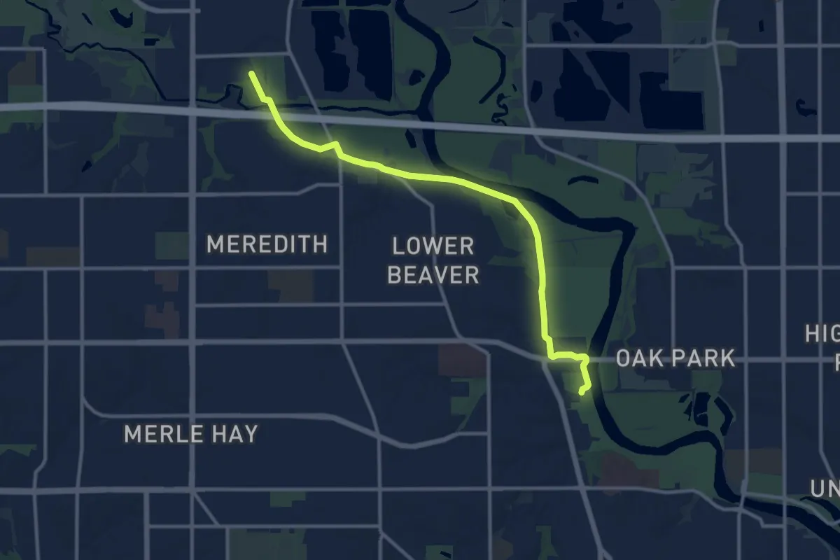
Medium · Trail
Trestle to Trestle Trail
12.2 km · ↑ 16 m · 2 h 55 min
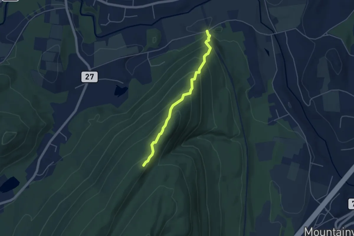
Medium · Trail
Trestle Trail
4.3 km · ↑ 304 m · 1 h 41 min
Demanding · Summit
Trexler Border Trail
27.0 km · ↑ 790 m · 8 h 5 min
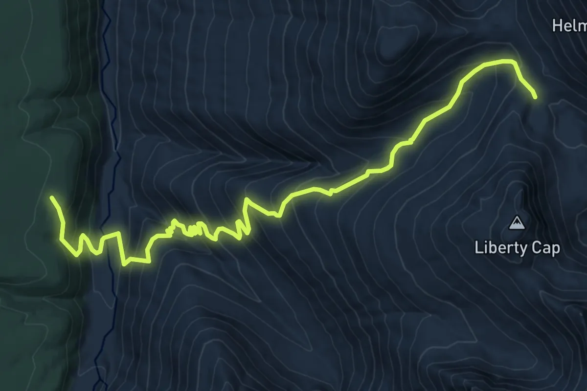
Demanding · Trail
Triad Creek Trail
12.1 km · ↑ 1034 m · 5 h 6 min
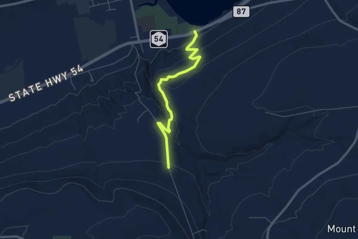
Easy · Trail
Triad Trail
5.5 km · ↑ 246 m · 1 h 50 min
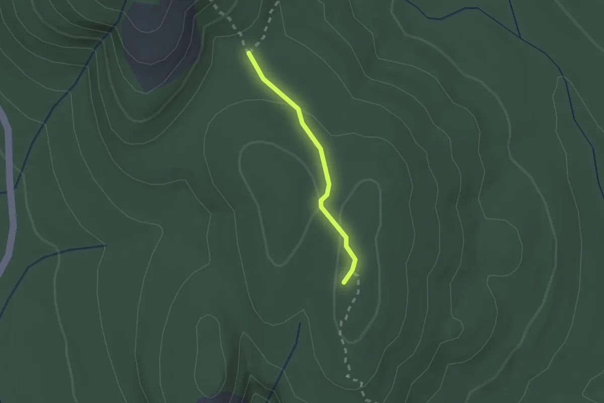
Easy · Summit
Triad Trail
1.5 km · ↑ 38 m · 26 min
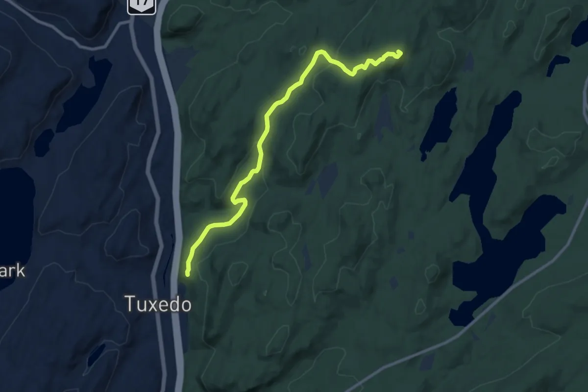
Medium · Summit
Triangle Trail
9.8 km · ↑ 317 m · 3 h
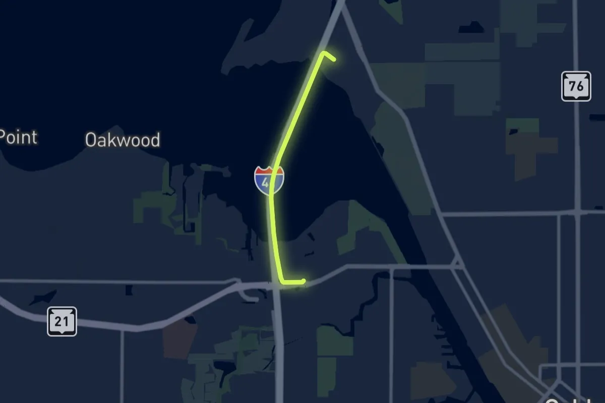
Easy · Trail
Tribal Heritage Crossing
5.8 km · ↑ 19 m · 1 h 25 min
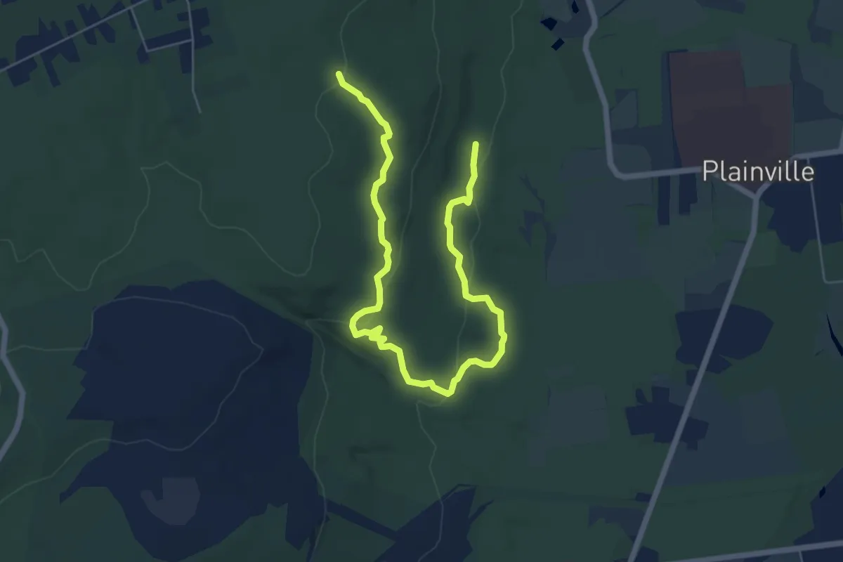
Medium · Trail
Tributary Trail
8.3 km · ↑ 153 m · 2 h 17 min
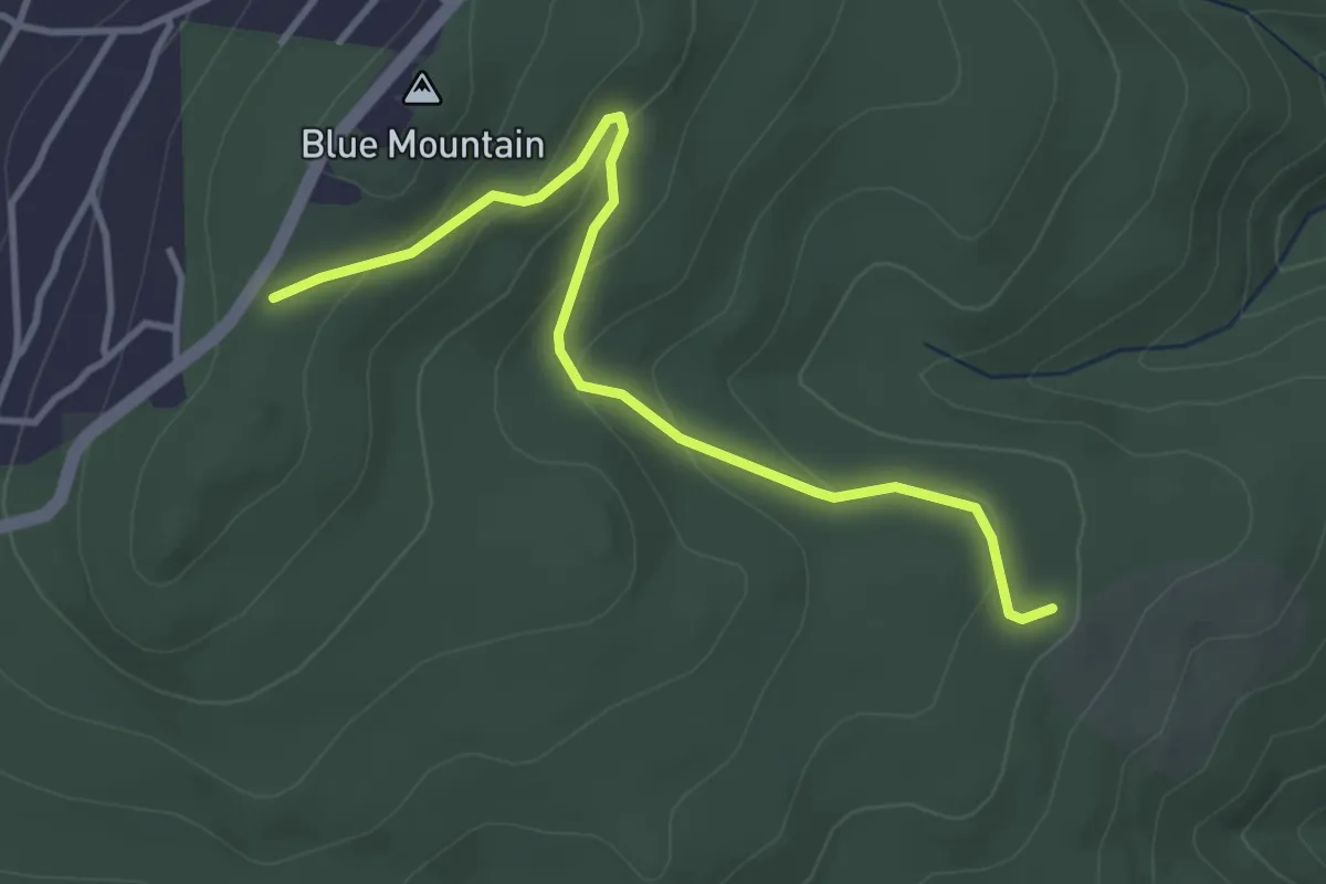
Easy · Trail
Trico Fire Road
4.2 km · ↑ 143 m · 1 h 18 min
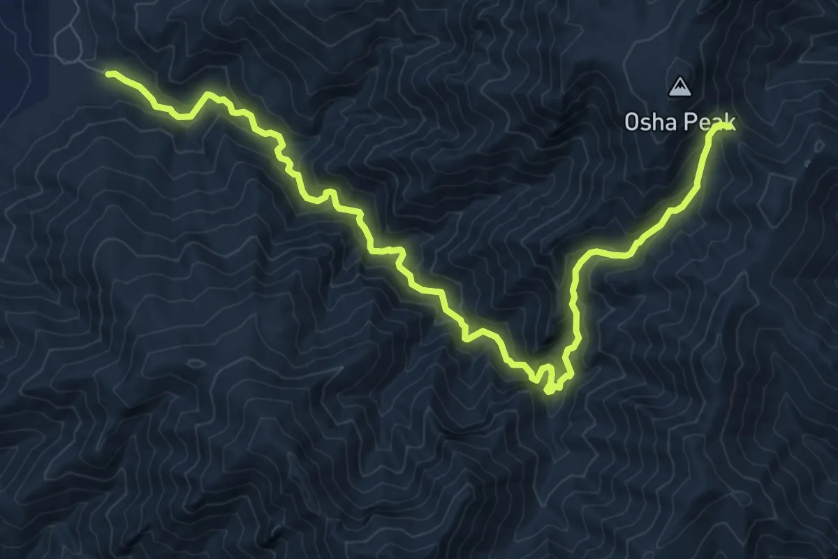
Demanding · Trail
Trigo Canyon Trail
12.7 km · ↑ 807 m · 4 h 45 min
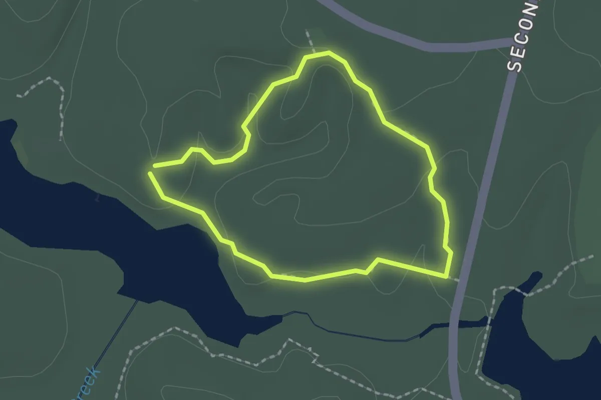
Easy · Trail
Trillium Trail
1.9 km · ↑ 32 m · 32 min
Easy · Trail
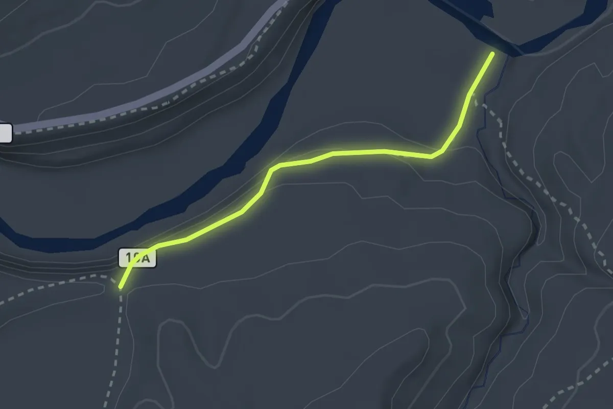
Trillium Trail
2.4 km · ↑ 115 m · 49 min
Easy · Trail
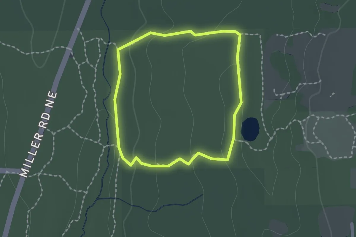
Trillium Trail
1.4 km · ↑ 36 m · 26 min
Easy · Trail
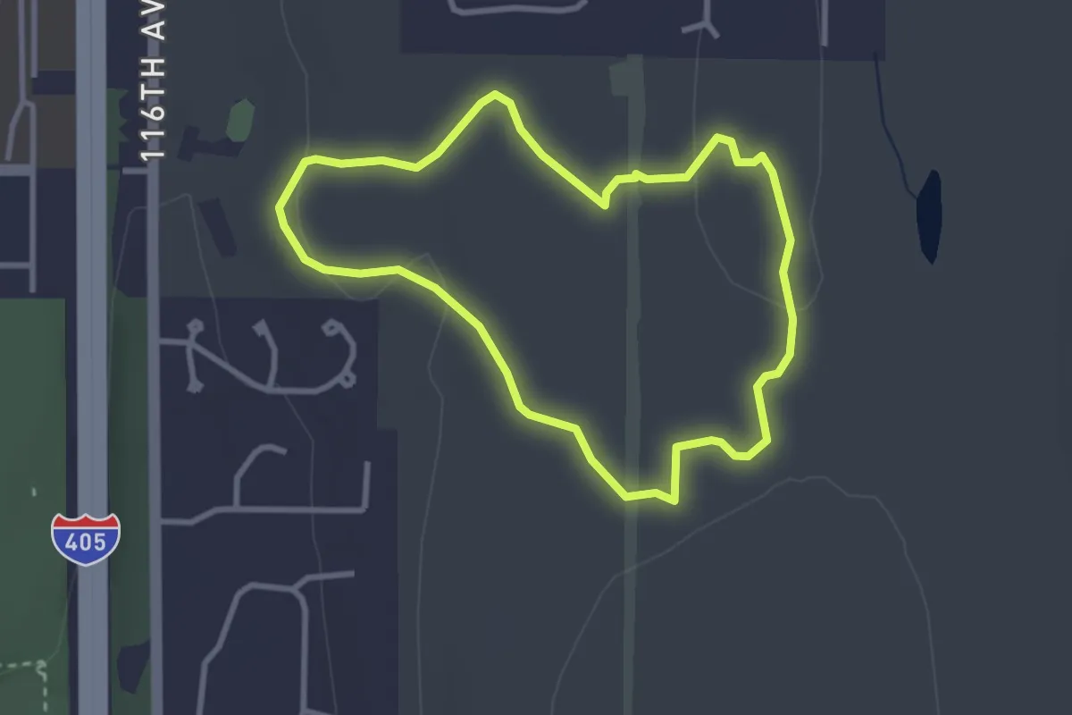
Trillium Trail
2.7 km · ↑ 23 m · 44 min