Trails in United States
10,332 hiking trails, each with its route, climb, walking time and grade.
All trails, page 2 of 216
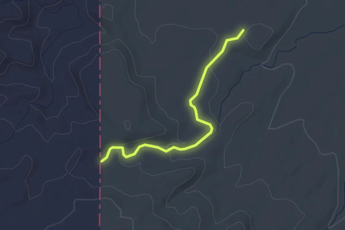
Easy · Trail
ADT - Colorado C - Q - Seg 6
2.8 km · ↑ 46 m · 45 min
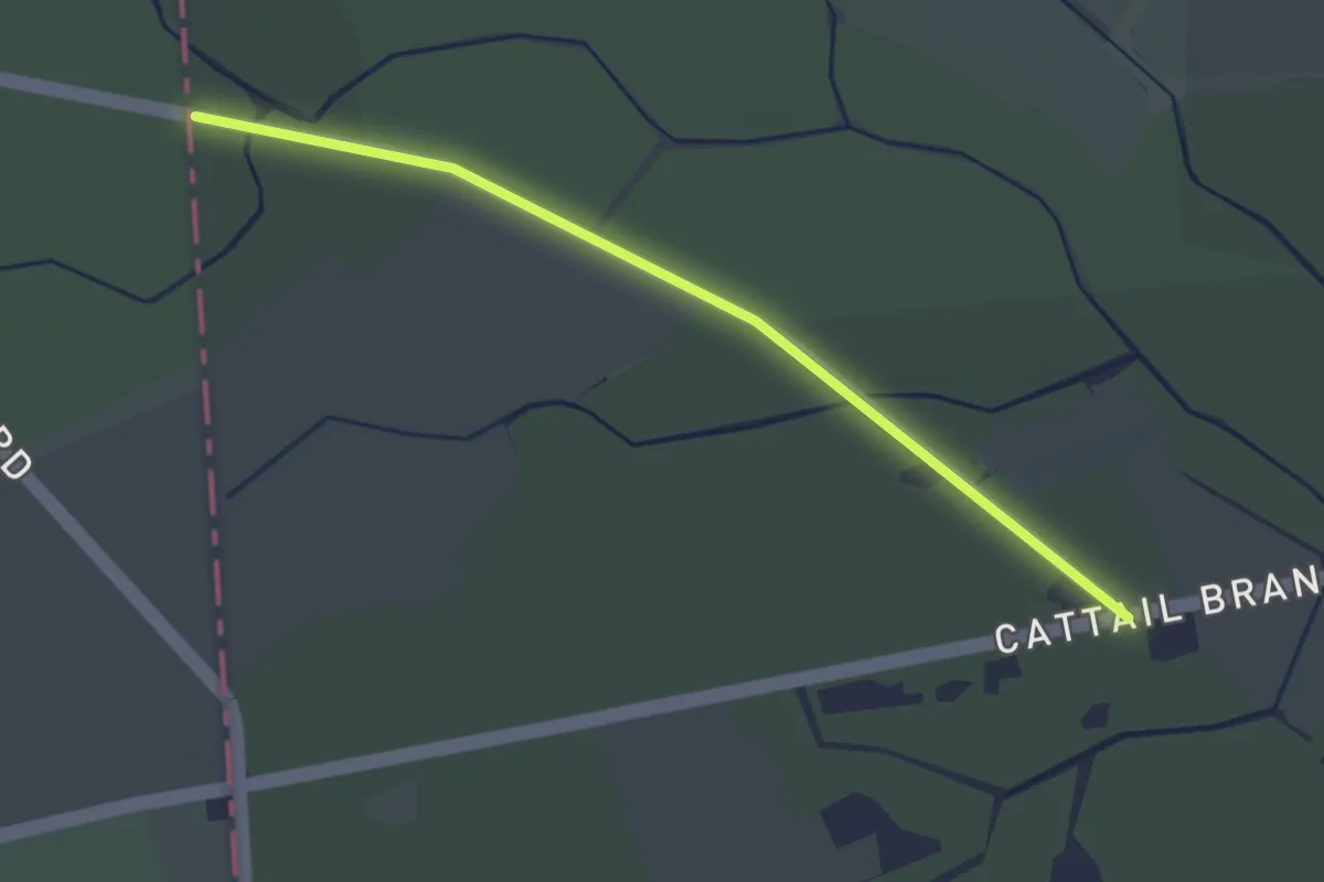
Easy · Trail
ADT - Delaware - Seg 1
3.2 km · ↑ 0 m · 45 min
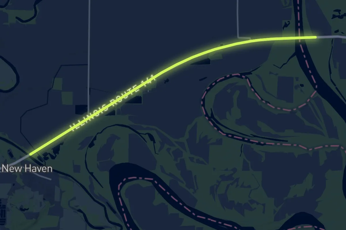
Demanding · Trail
ADT - Illinois (South) - J - Seg 1
18.8 km · ↑ 5 m · 4 h 27 min
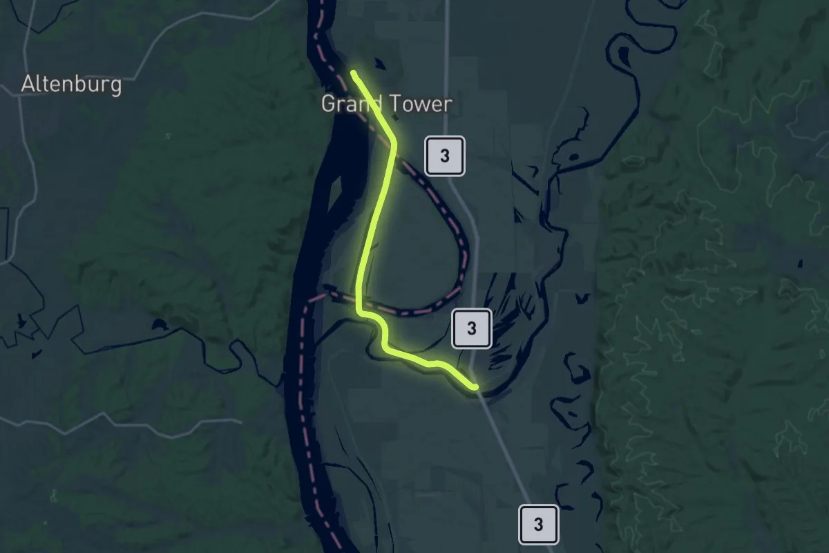
Demanding · Trail
ADT - Illinois (South) - J - Seg 2
20.0 km · ↑ 8 m · 4 h 45 min
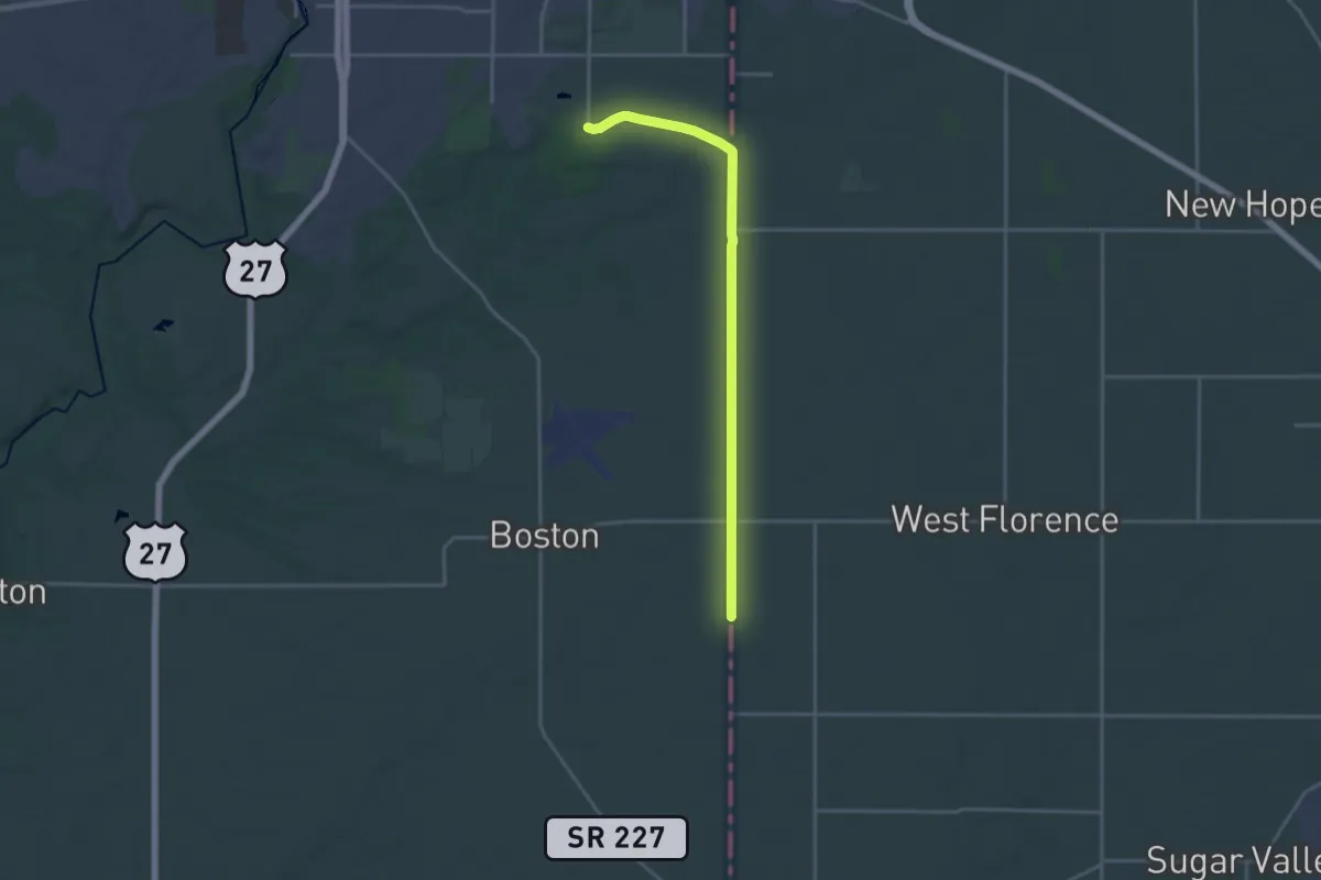
Demanding · Trail
ADT - Indiana (North) - G - Seg 1
20.9 km · ↑ 65 m · 5 h 4 min
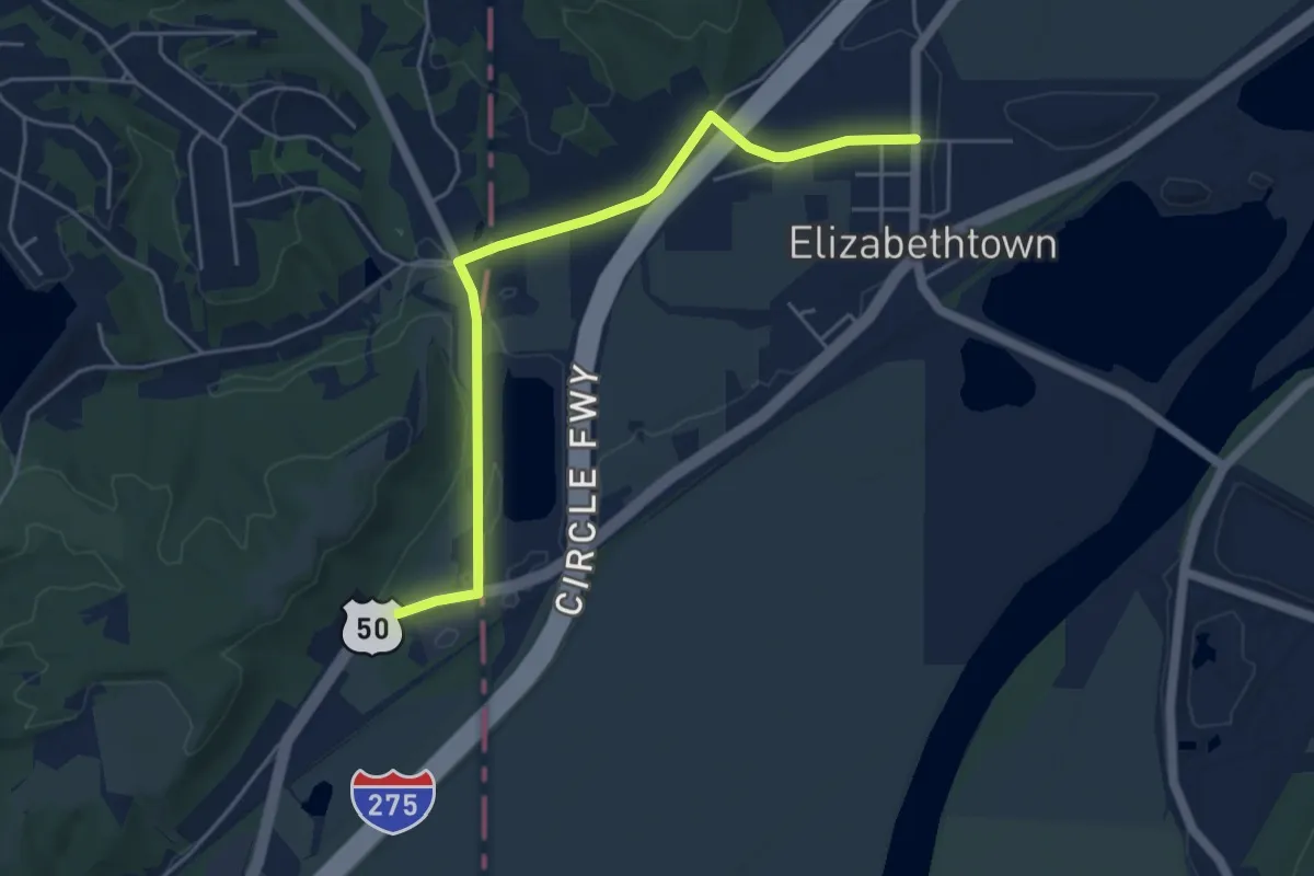
Easy · Trail
ADT - Indiana (South) - H - Seg 1
5.7 km · ↑ 29 m · 1 h 25 min
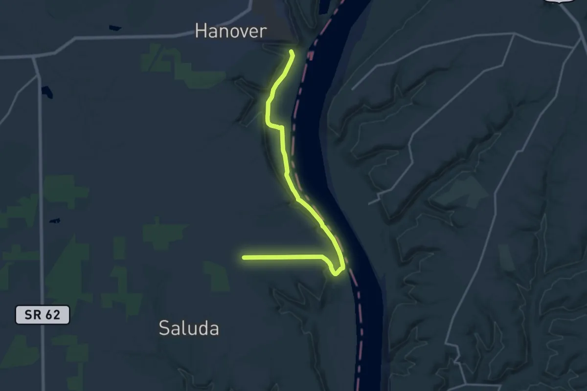
Medium · Trail
ADT - Indiana (South) - H - Seg 2
17.3 km · ↑ 144 m · 4 h 24 min
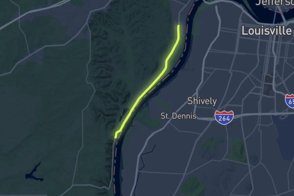
Demanding · Trail
ADT - Indiana (South) - H - Seg 3
22.6 km · ↑ 40 m · 5 h 26 min
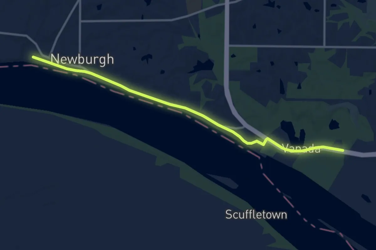
Medium · Trail
ADT - Indiana (South) - H - Seg 5
11.0 km · ↑ 48 m · 2 h 42 min
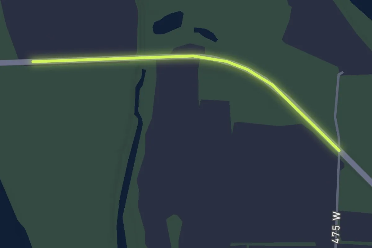
Easy · Trail
ADT - Indiana (South) - H - Seg 6
3.2 km · ↑ 5 m · 46 min
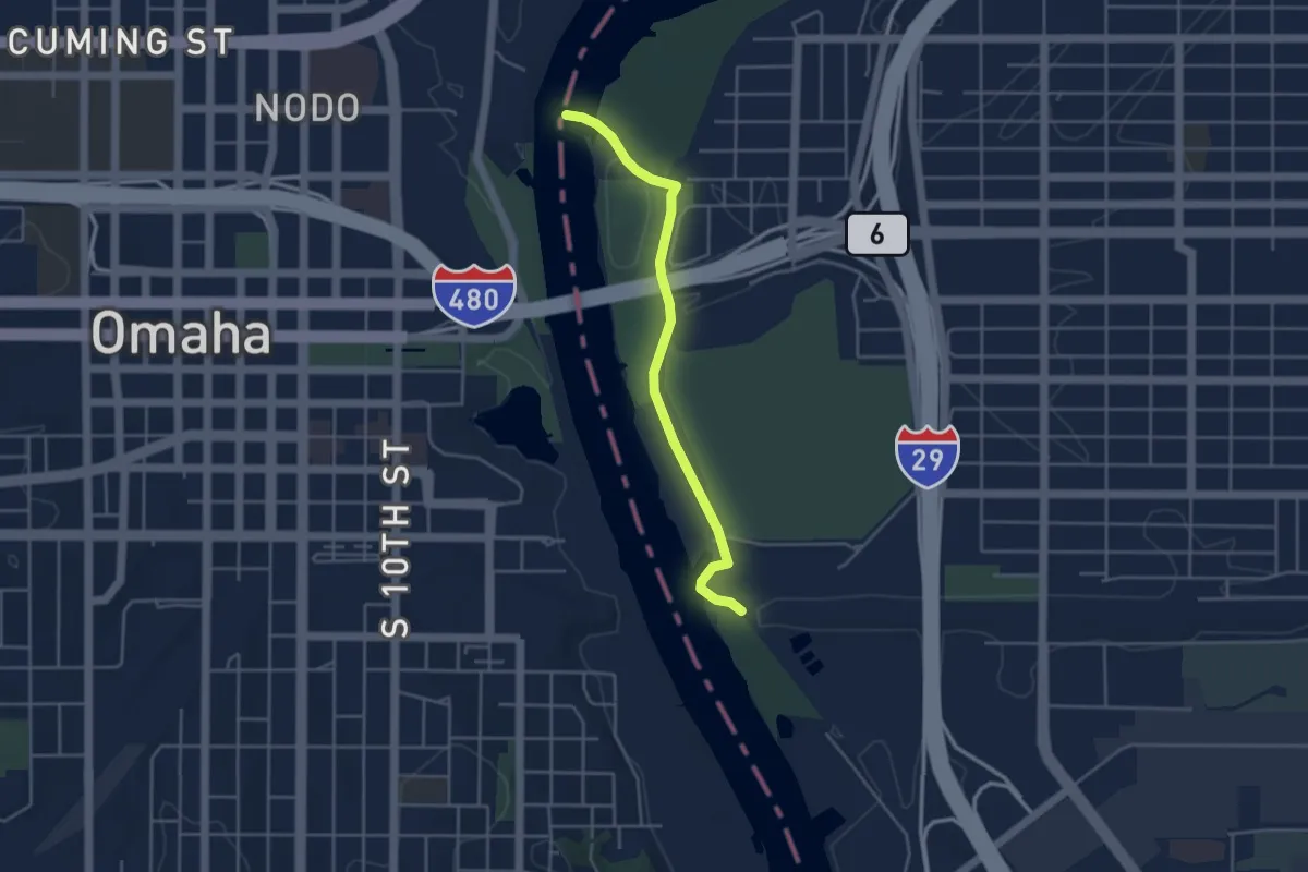
Easy · Trail
ADT - Iowa - K - Seg 6
4.4 km · ↑ 15 m · 1 h 4 min
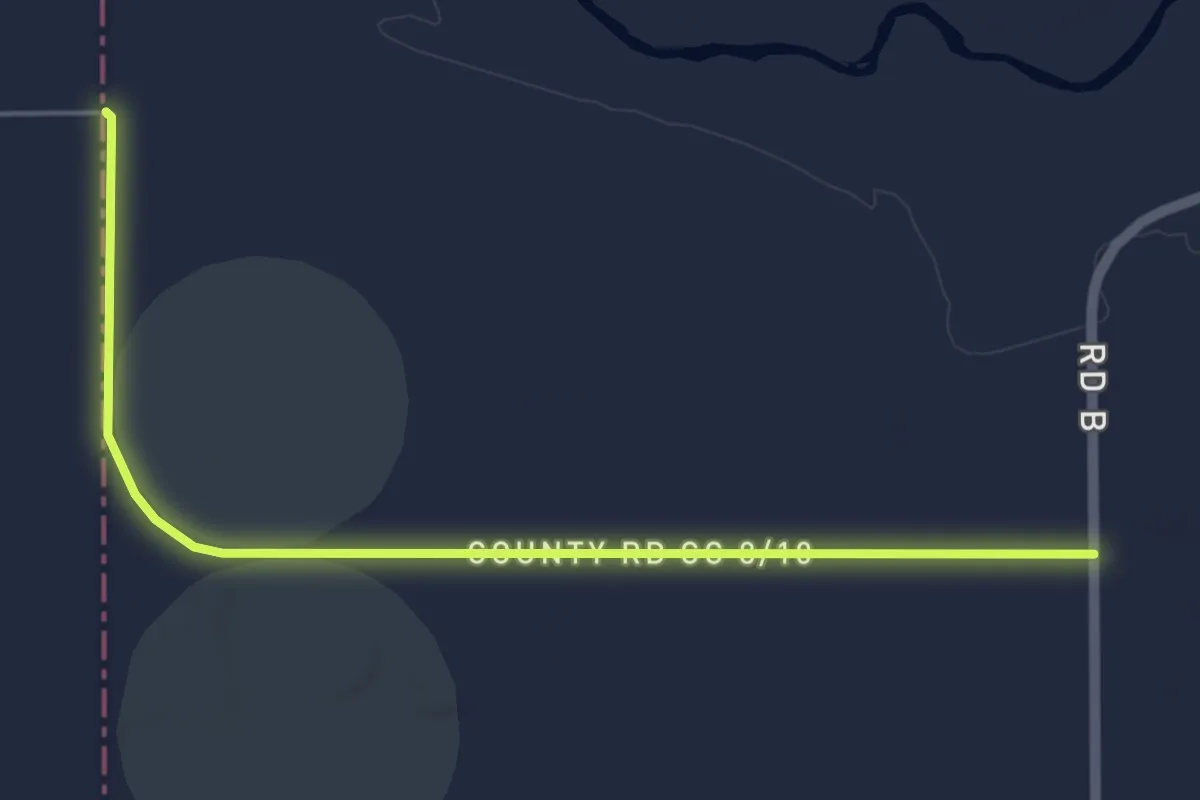
Easy · Trail
ADT - Kansas - N - Seg 8
6.4 km · ↑ 4 m · 1 h 32 min
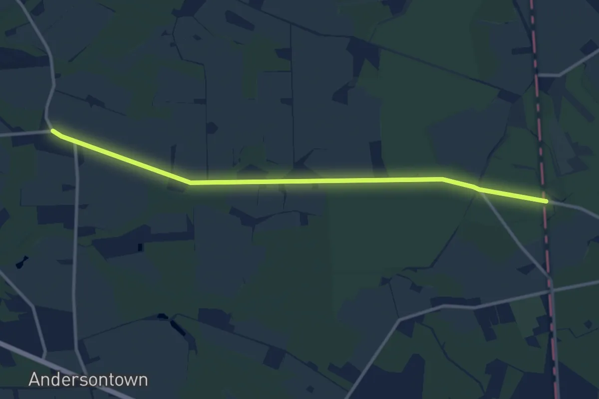
Medium · Trail
ADT - Maryland - Seg 1
11.2 km · ↑ 0 m · 2 h 38 min
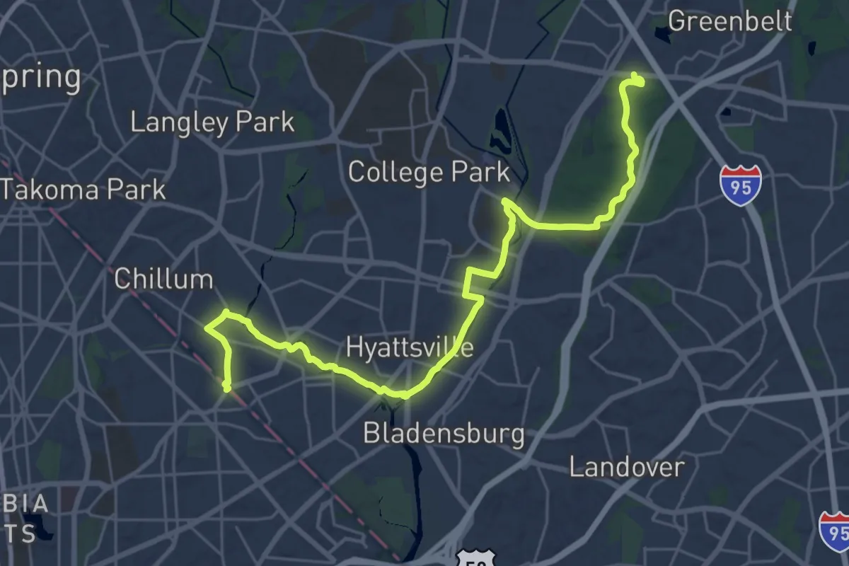
Demanding · Trail
ADT - Maryland - Seg 3
31.9 km · ↑ 192 m · 7 h 57 min
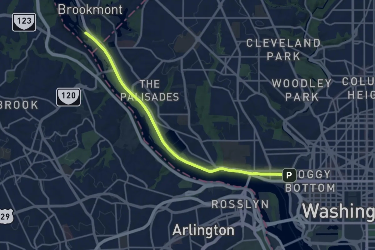
Medium · Trail
ADT - Maryland - Seg 4
15.2 km · ↑ 21 m · 3 h 38 min
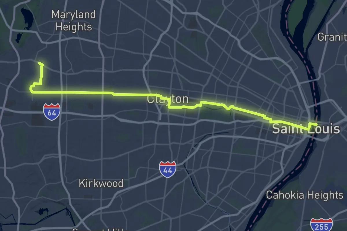
Demanding · Trail
ADT - Missouri - L - Seg 1
33.2 km · ↑ 332 m · 8 h 59 min
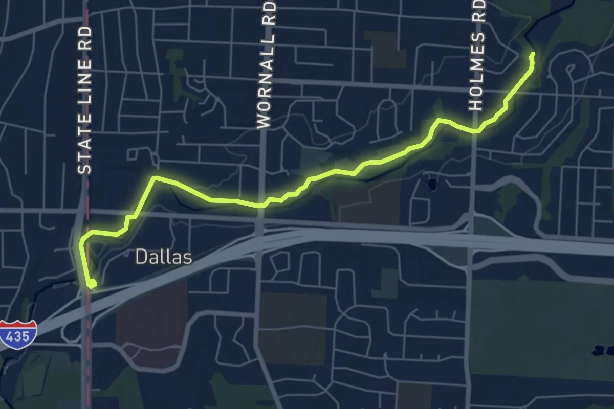
Easy · Trail
ADT - Missouri - L - Seg 3
7.3 km · ↑ 18 m · 1 h 46 min
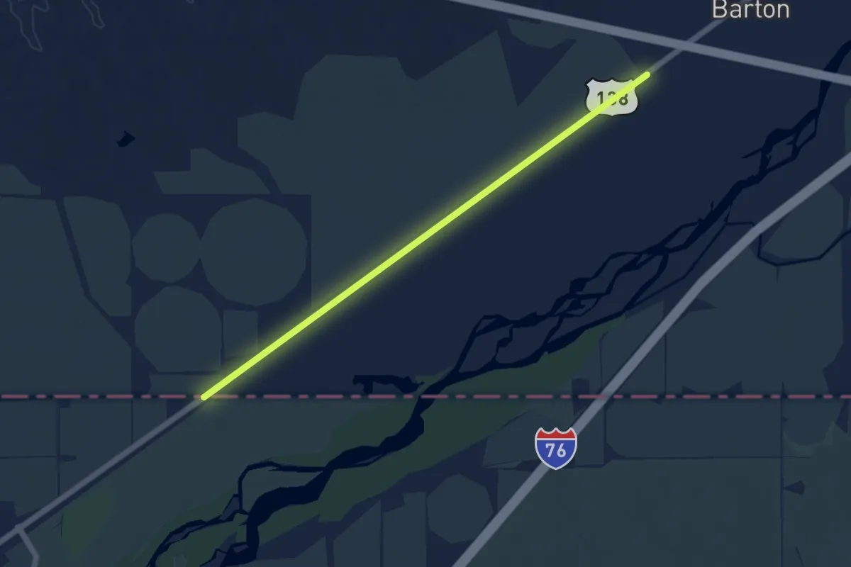
Medium · Trail
ADT - Nebraska - M - Seg 8
9.9 km · ↑ 8 m · 2 h 21 min
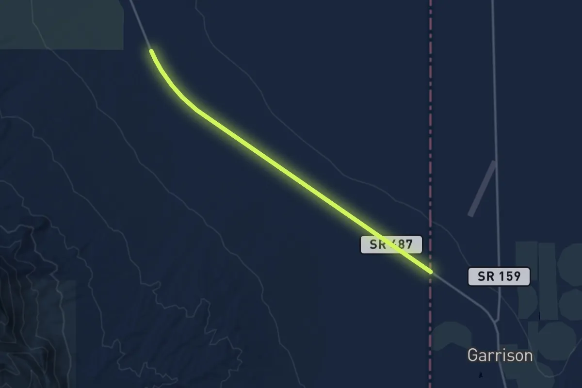
Medium · Trail
ADT - Nevada - S - Seg 1
14.6 km · ↑ 25 m · 3 h 30 min
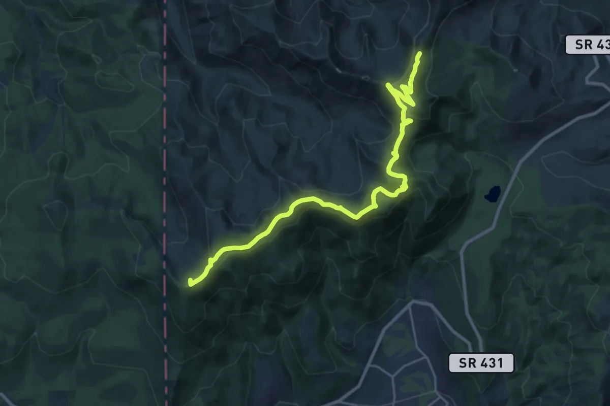
Demanding · Summit
ADT - Nevada - S - Seg 9
22.9 km · ↑ 805 m · 7 h 10 min
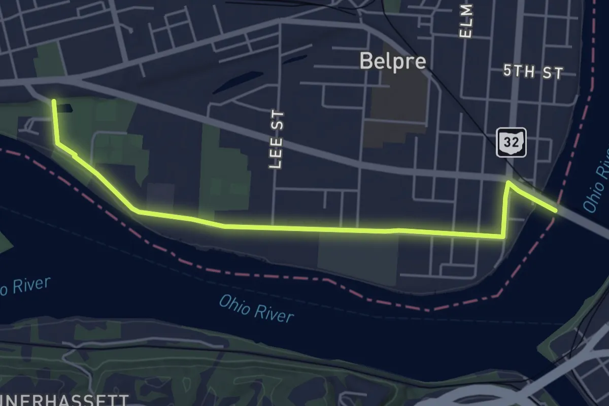
Easy · Trail
ADT - Ohio D - Seg 1
5.7 km · ↑ 5 m · 1 h 21 min
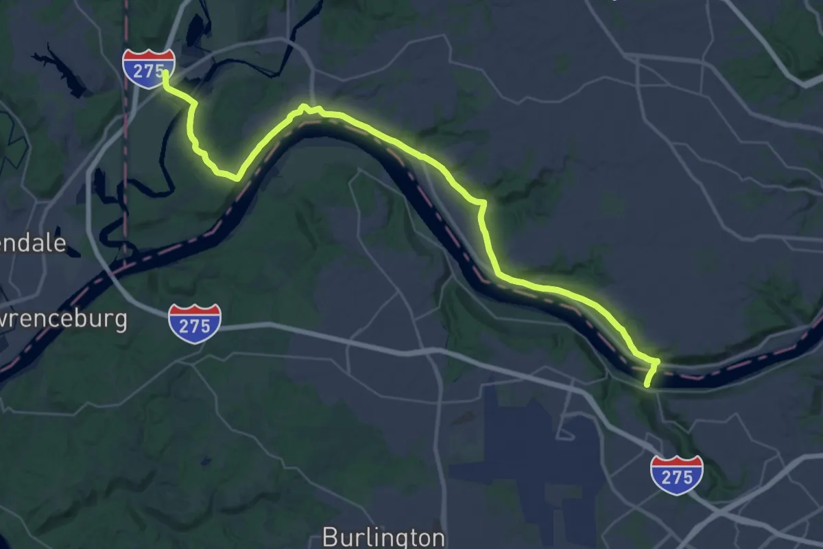
Demanding · Trail
ADT - Ohio D - Seg 10
24.2 km · ↑ 281 m · 6 h 39 min
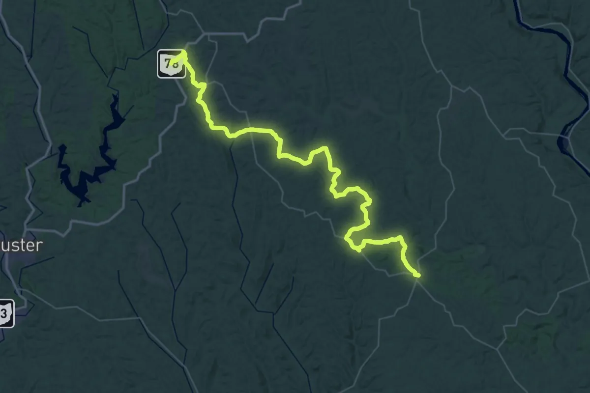
Demanding · Trail
ADT - Ohio D - Seg 2
24.9 km · ↑ 566 m · 7 h 26 min
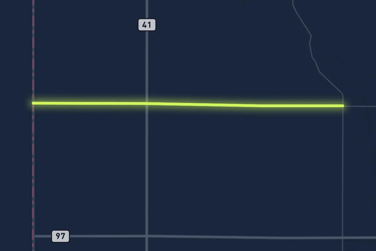
Easy · Trail
ADT - Ohio E - Seg 11
7.7 km · ↑ 4 m · 1 h 49 min
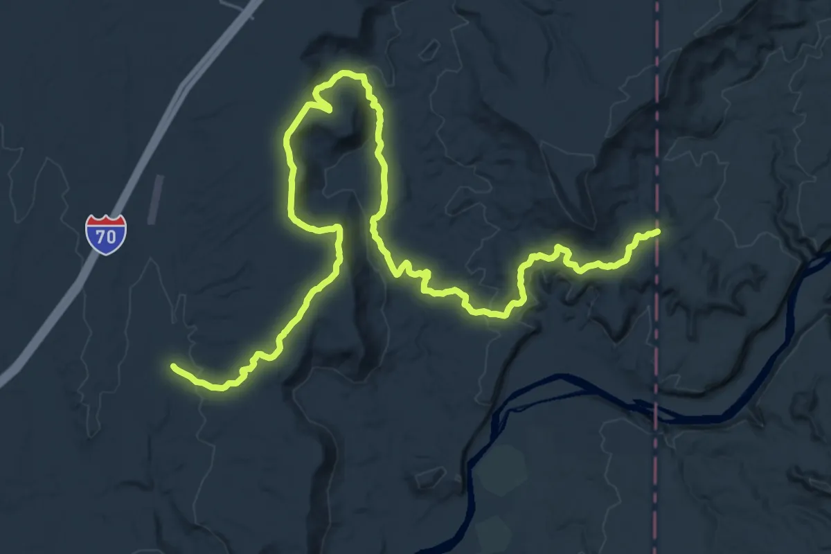
Demanding · Trail
ADT - Utah - R - Seg 1
19.3 km · ↑ 276 m · 5 h 29 min
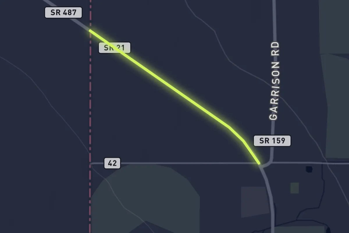
Easy · Trail
ADT - Utah - R - Seg 6
3.3 km · ↑ 4 m · 47 min
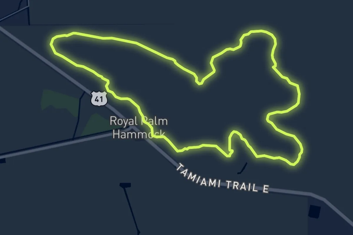
Medium · Trail
Adventure trail
10.0 km · ↑ 0 m · 2 h 29 min
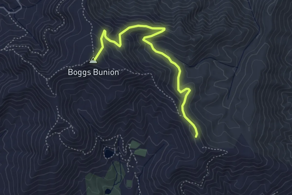
Medium · Summit
Adventure Trail
5.2 km · ↑ 255 m · 1 h 47 min
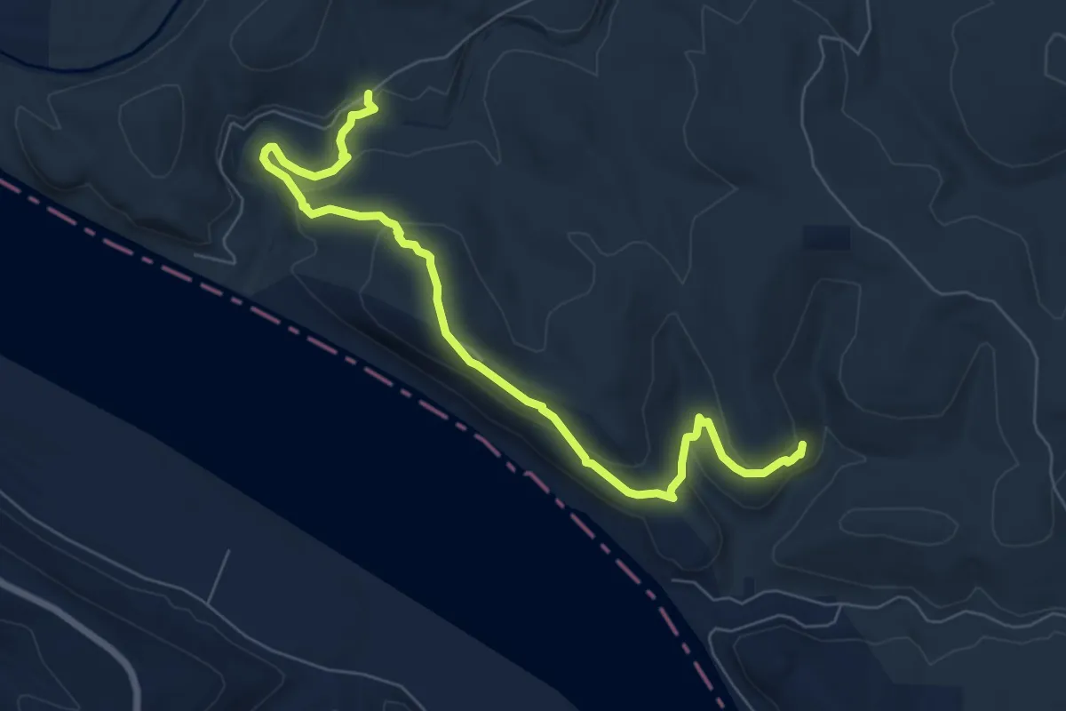
Medium · Trail
Adventure Trail
8.8 km · ↑ 278 m · 2 h 40 min
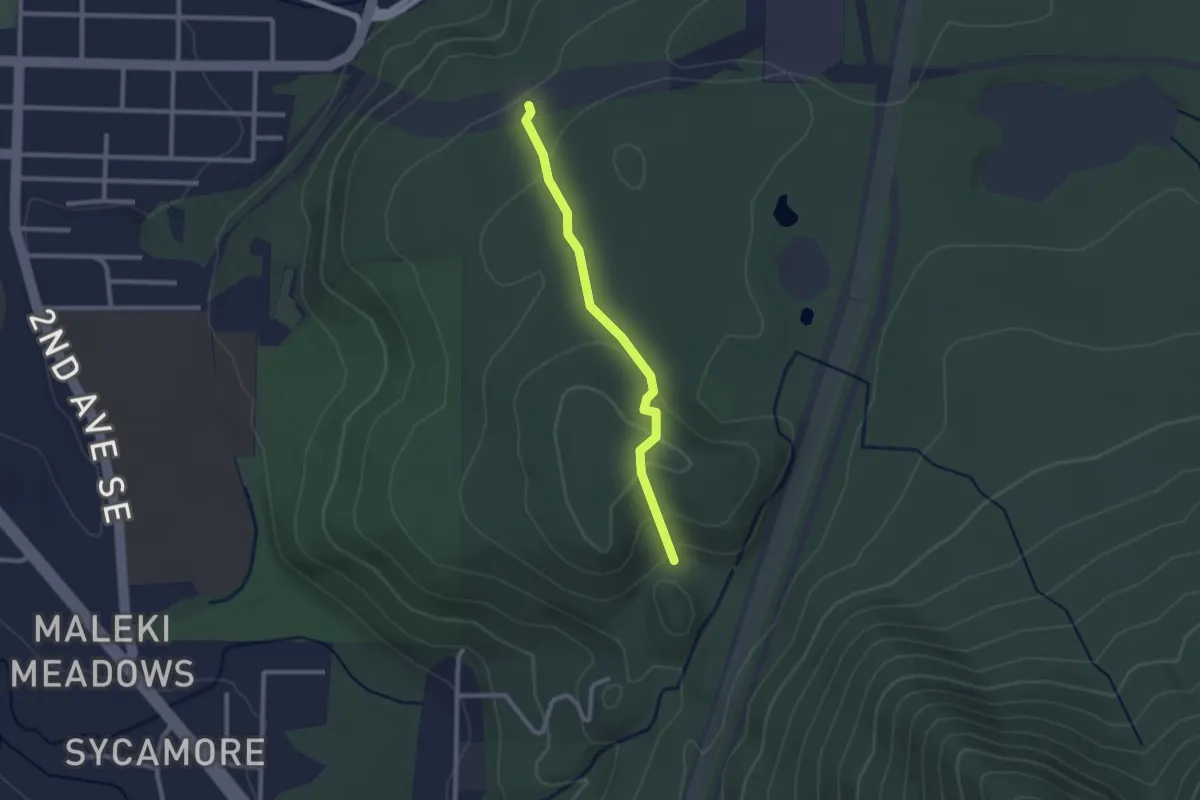
Easy · Trail
Adventure Trail
2.2 km · ↑ 74 m · 40 min
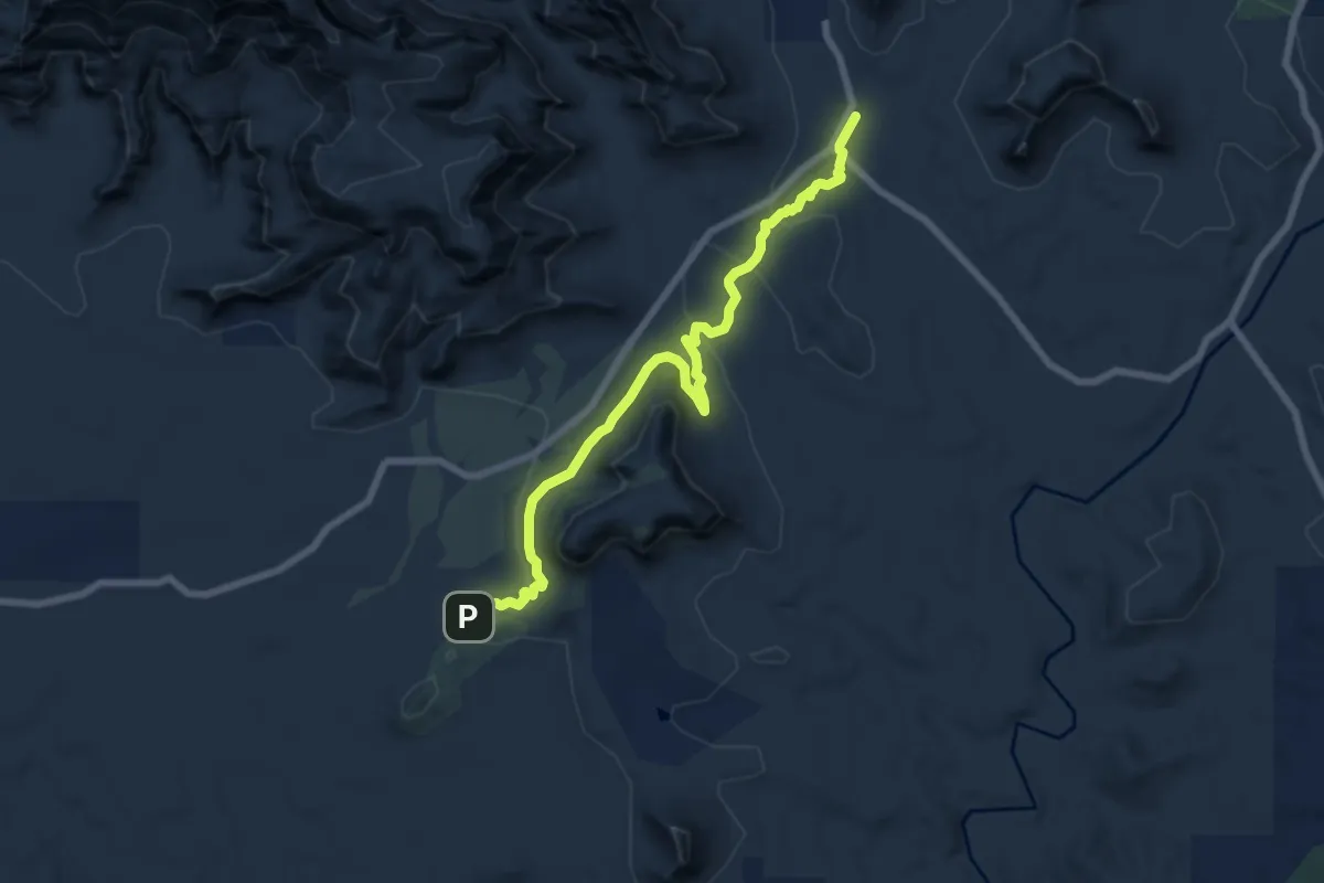
Medium · Trail
Aerie #168
8.8 km · ↑ 151 m · 2 h 25 min
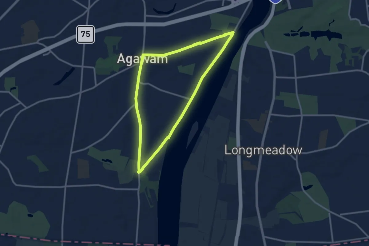
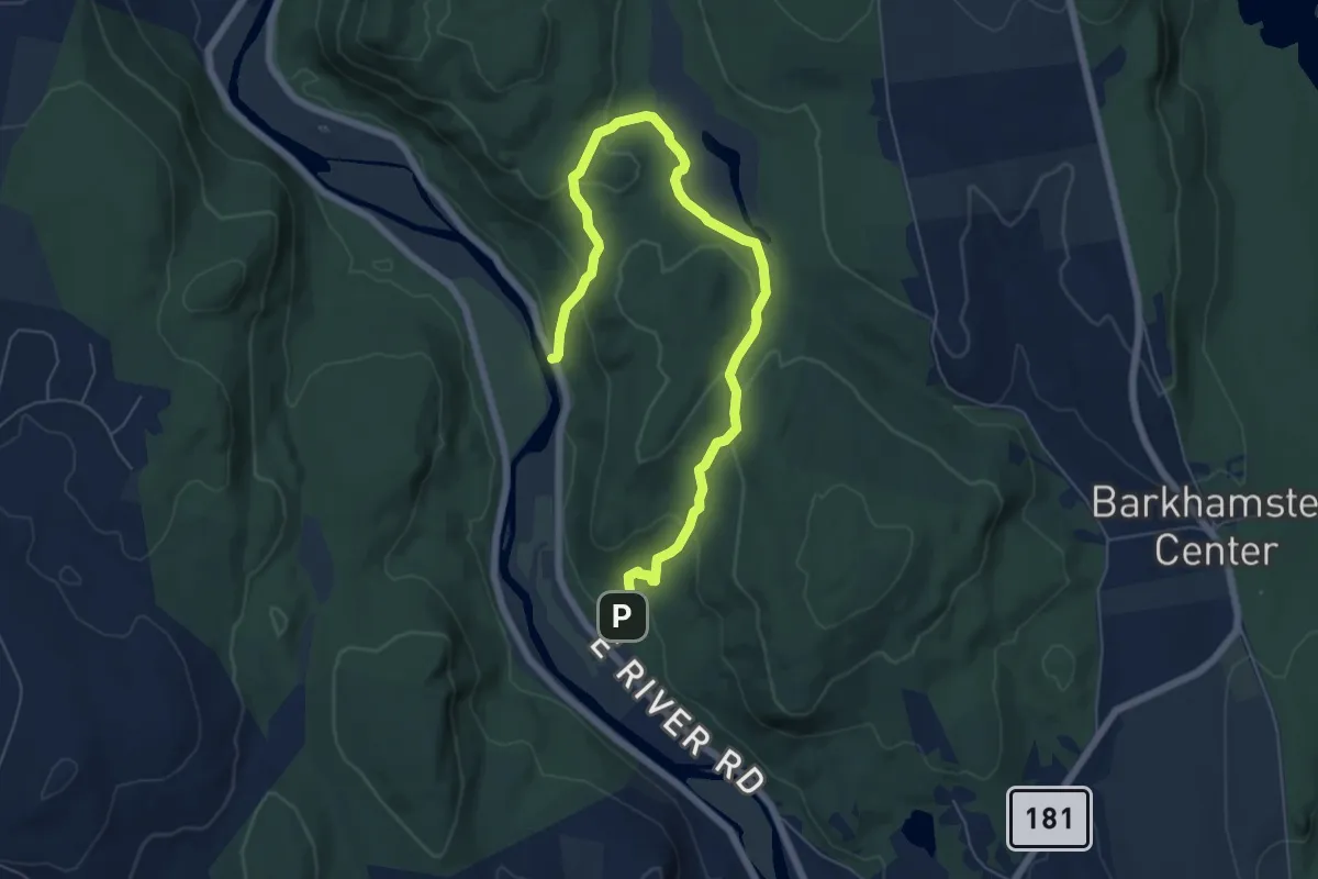
Medium · Trail
Agawam River Trail
17.7 km · ↑ 17 m · 4 h 13 min
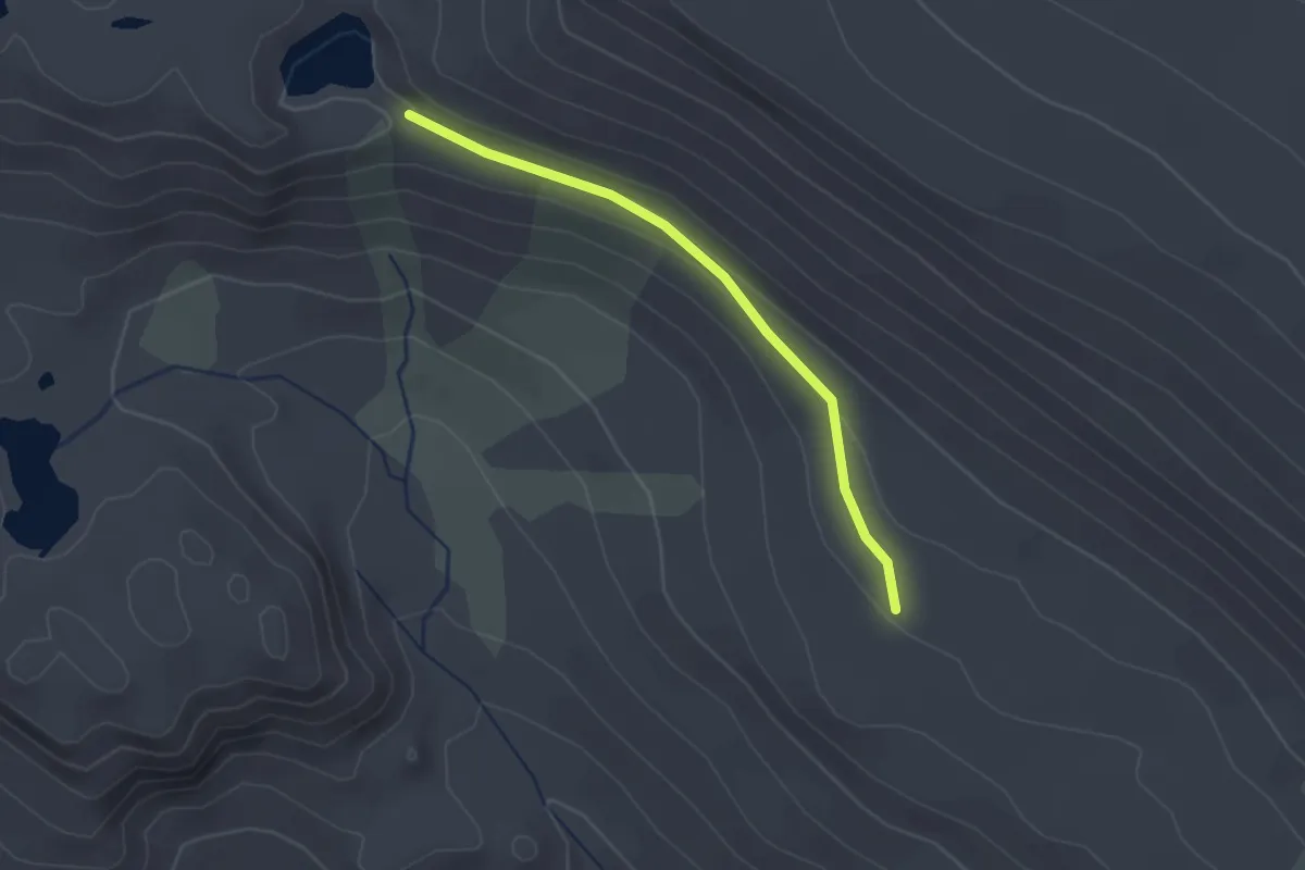
Medium · Trail
Agnes Bowen Trail
8.1 km · ↑ 275 m · 2 h 30 min
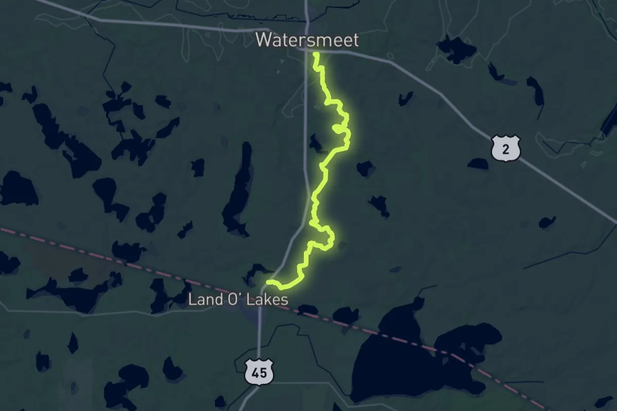
Easy · Trail
Agnew Pass Trail
2.2 km · ↑ 33 m · 36 min
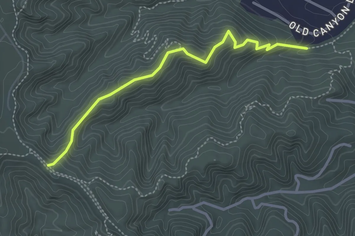
Demanding · Trail
Agonikak National Recreation Trail
18.5 km · ↑ 78 m · 4 h 48 min
Easy · Trail
Ahwingna Trail
3.1 km · ↑ 173 m · 1 h 6 min
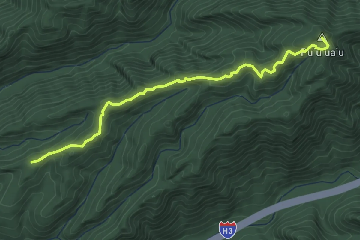
Easy · Summit
Aiea Loop Trail
4.9 km · ↑ 250 m · 1 h 42 min
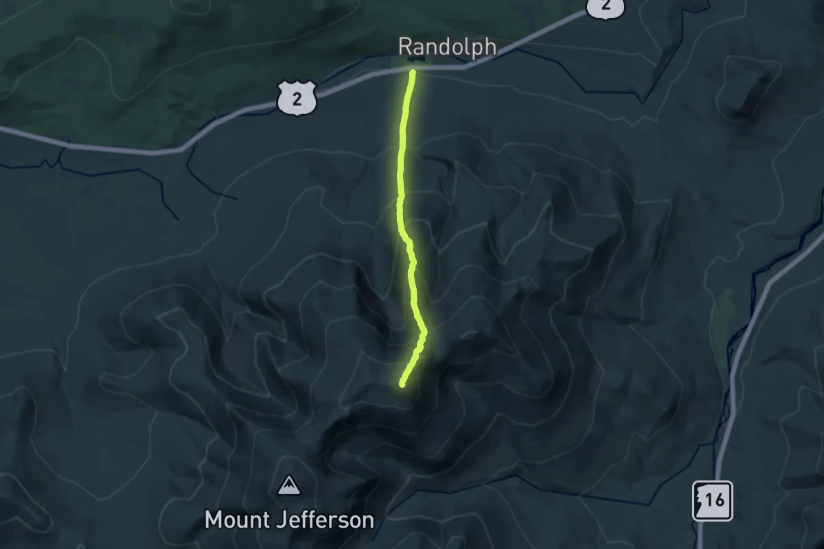
Demanding · Summit
Airline Trail
11.9 km · ↑ 1351 m · 5 h 44 min
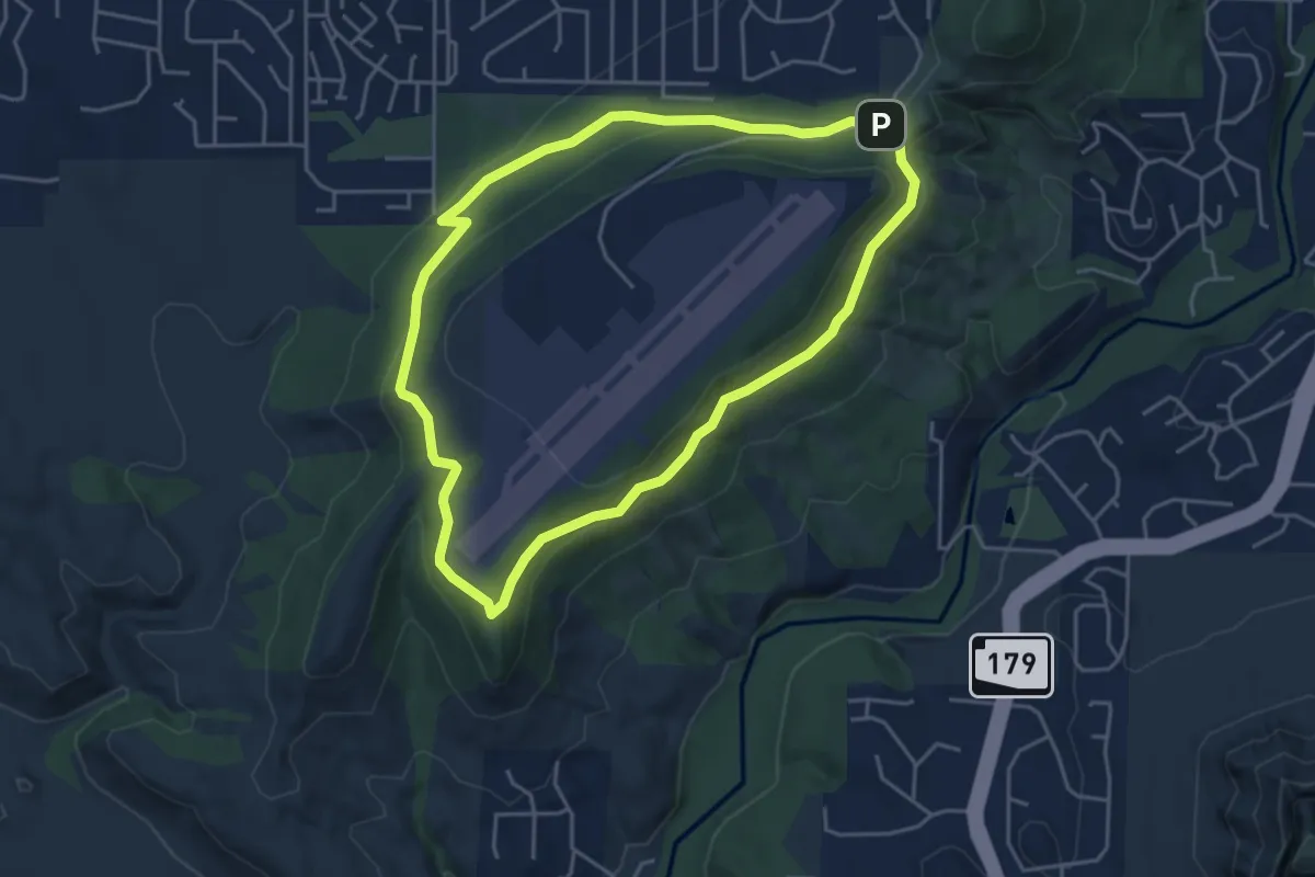
Easy · Summit
Airport Loop #210
5.2 km · ↑ 136 m · 1 h 36 min
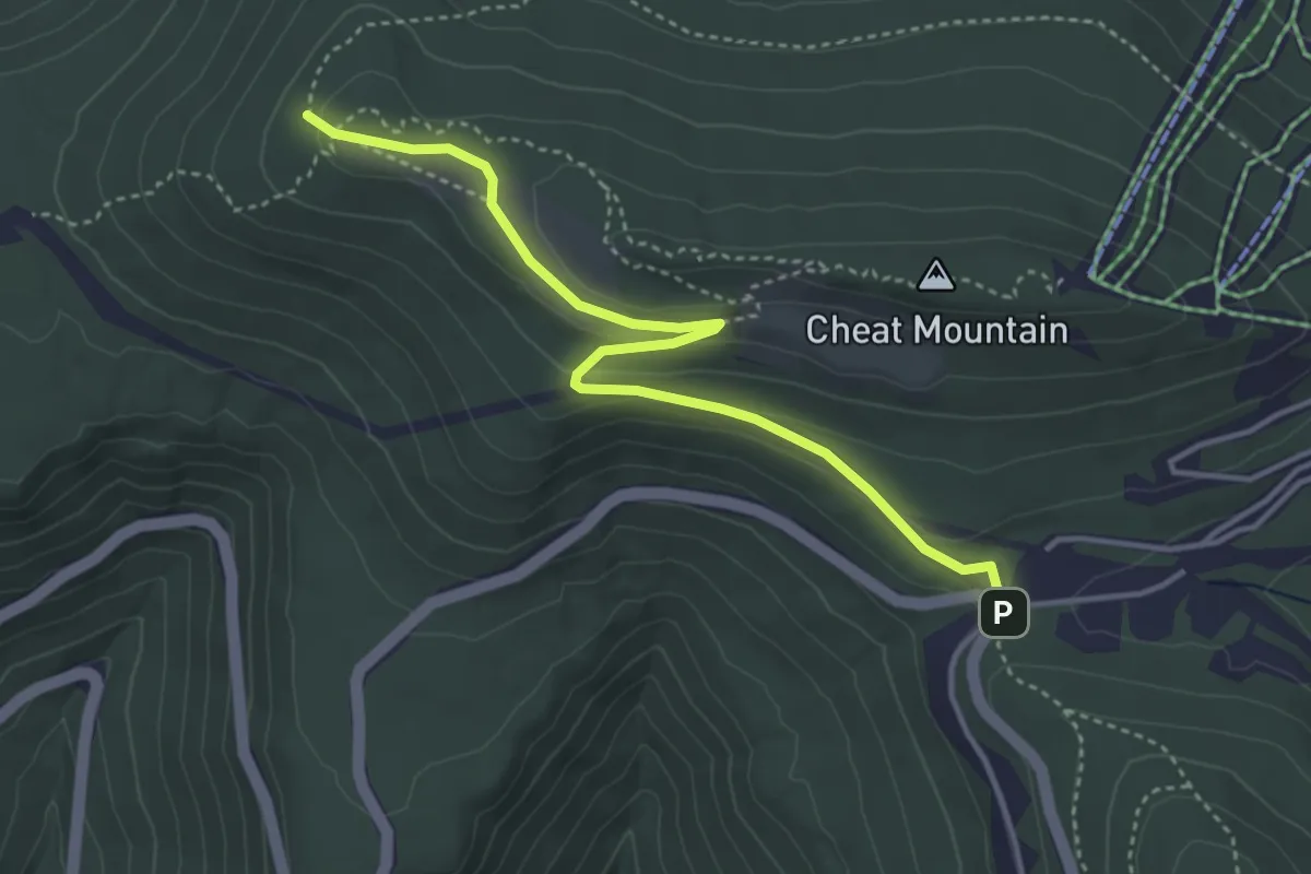
Easy · Trail
Airport Road
4.7 km · ↑ 101 m · 1 h 19 min
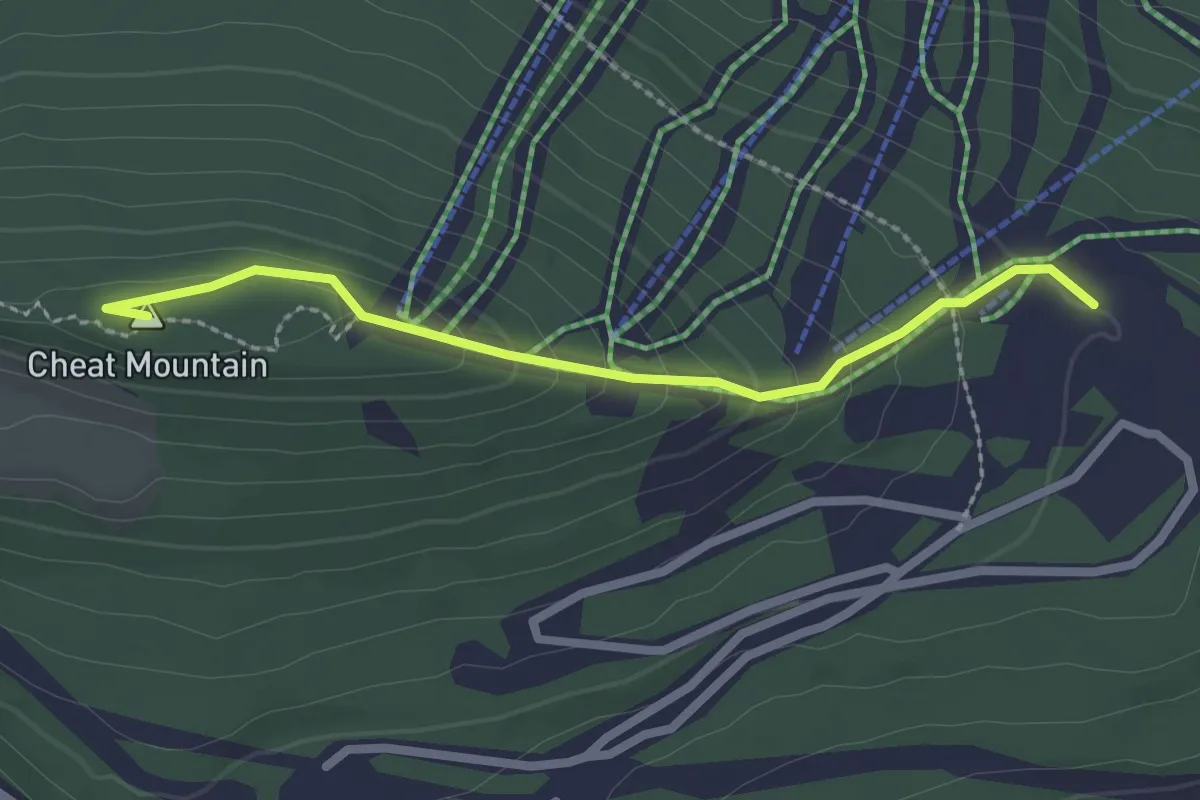
Easy · Summit
Airport Runway
2.6 km · ↑ 124 m · 53 min
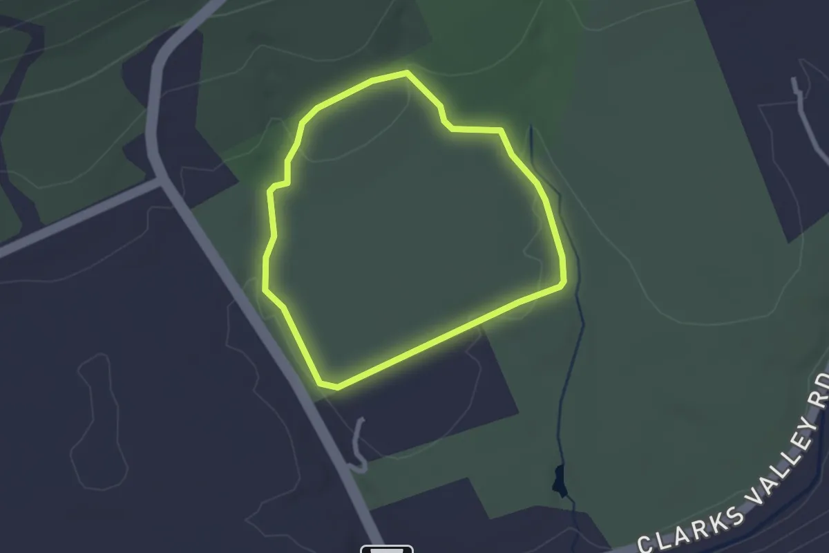
Easy · Trail
Airstrip Loop
2.2 km · ↑ 37 m · 37 min
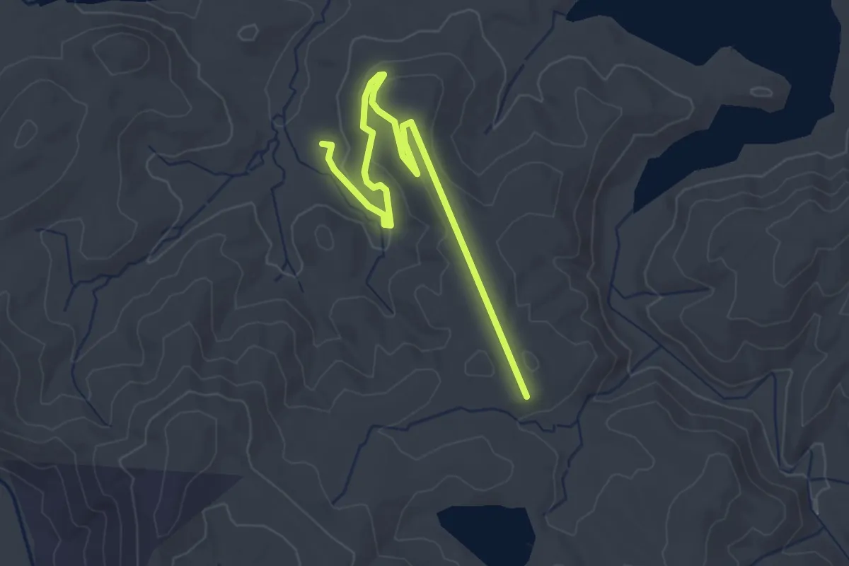
Easy · Trail
Airstrip Trail
3.9 km · ↑ 79 m · 1 h 6 min
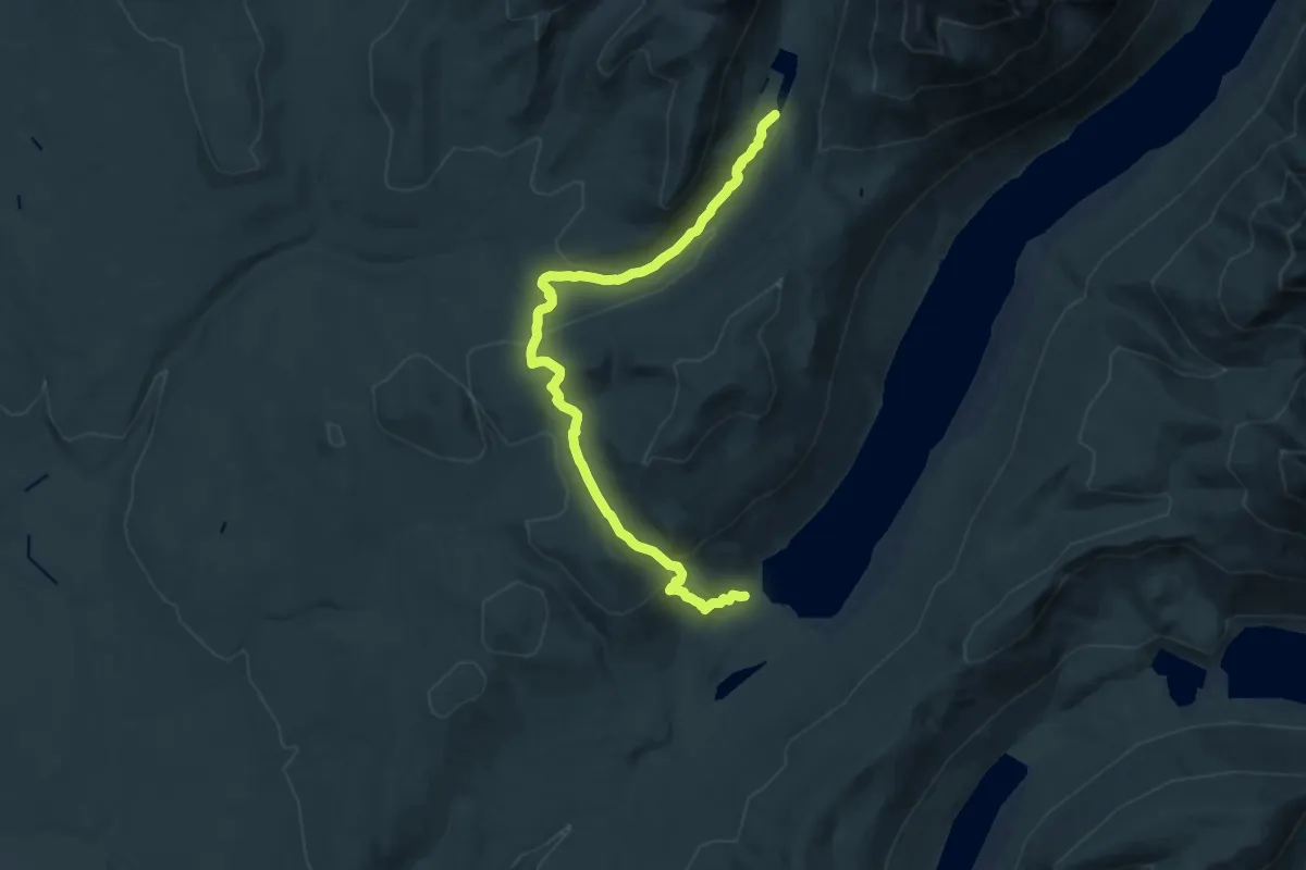
Medium · Trail
Akokala Lake Trail
17.5 km · ↑ 622 m · 5 h 29 min
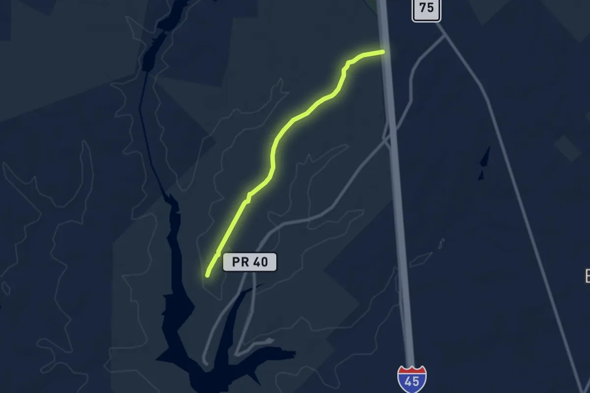
Easy · Trail
Akokisa Trail
7.8 km · ↑ 48 m · 1 h 56 min
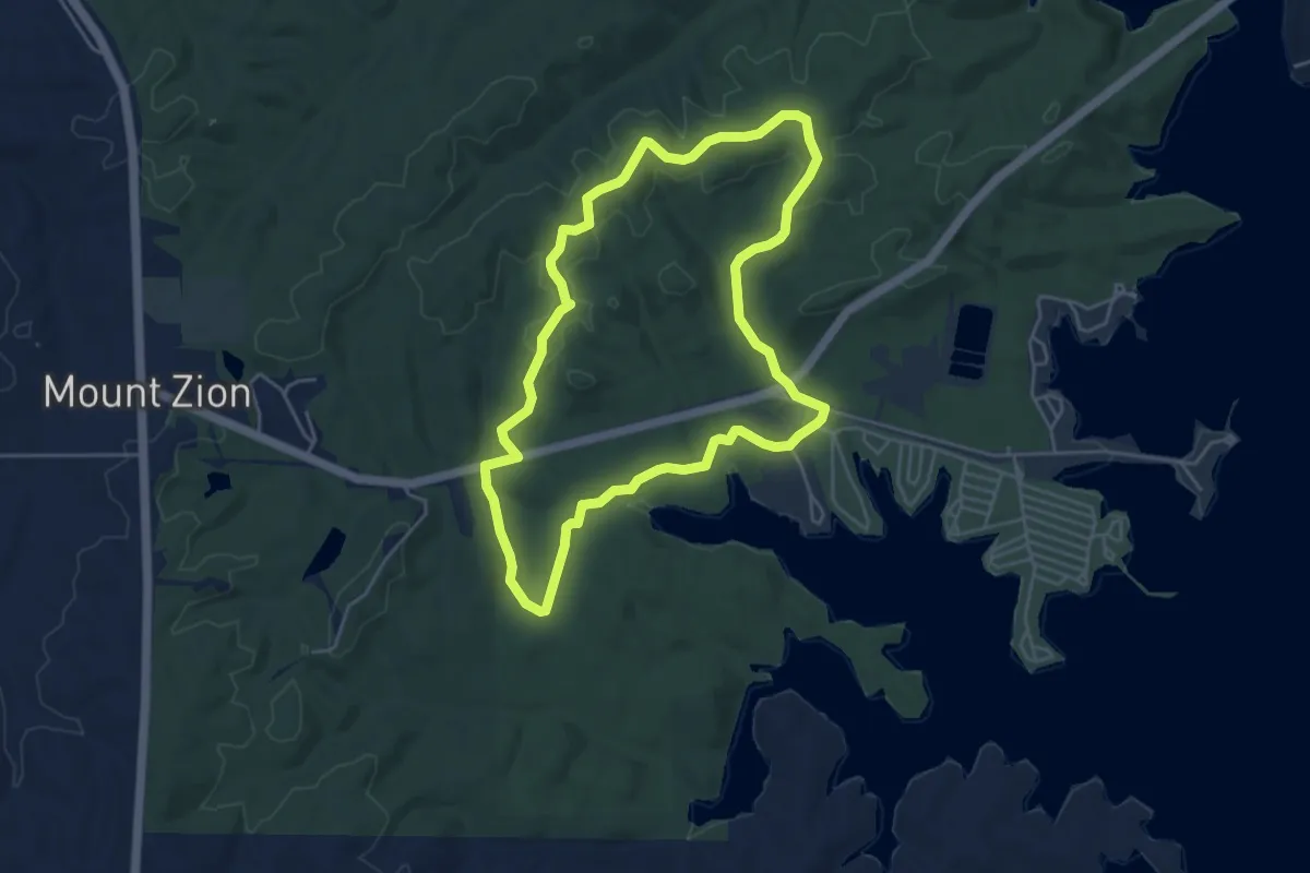
Easy · Trail
Alabama Reunion Trail
5.5 km · ↑ 113 m · 1 h 38 min
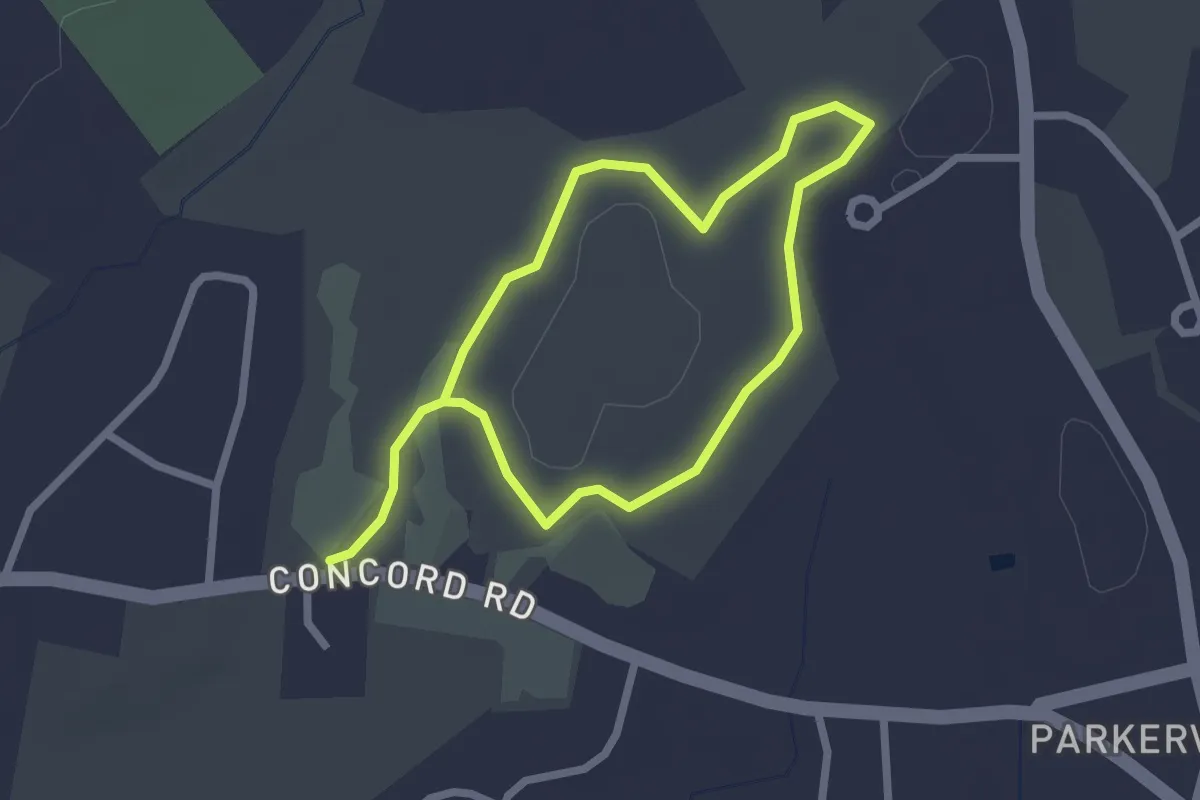
Easy · Trail
Alan Emmet Trail
4.1 km · ↑ 17 m · 1 h 1 min
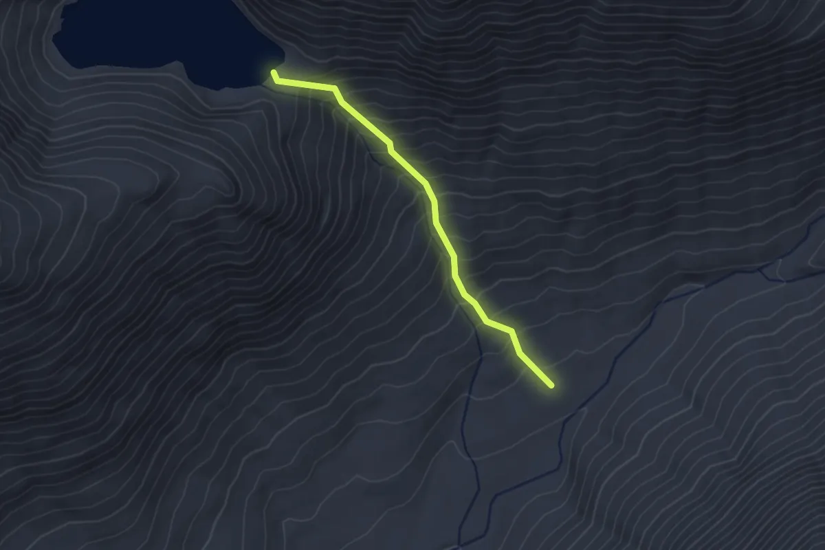
Medium · Trail
Alaska Lake Trail
2.4 km · ↑ 349 m · 1 h 19 min