Trails in United States
10,367 hiking trails, each with its route, climb, walking time and grade.
All trails, page 216 of 216
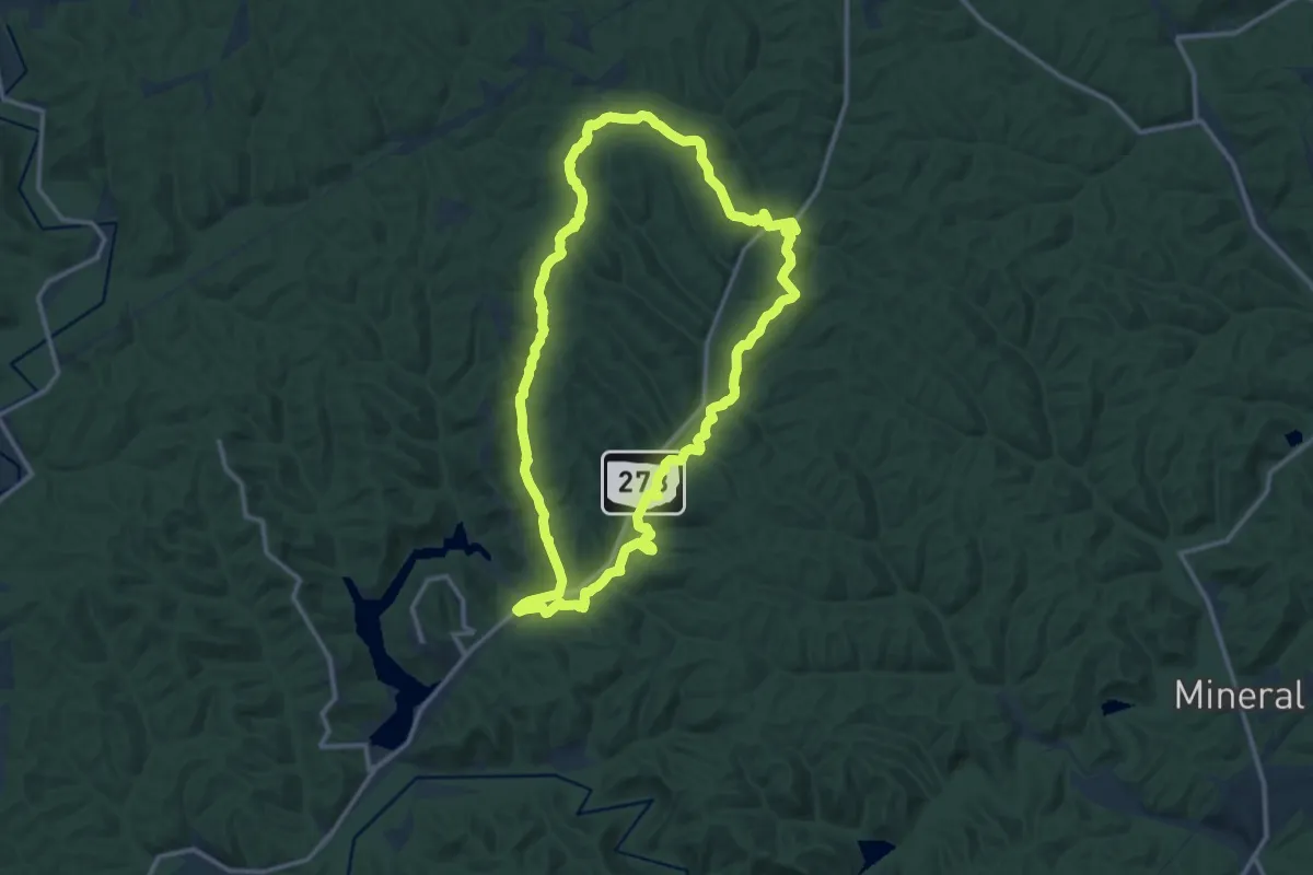
Medium · Summit
Zaleski Backpack Trail - Middle Loop
13.8 km · ↑ 359 m · 4 h 14 min
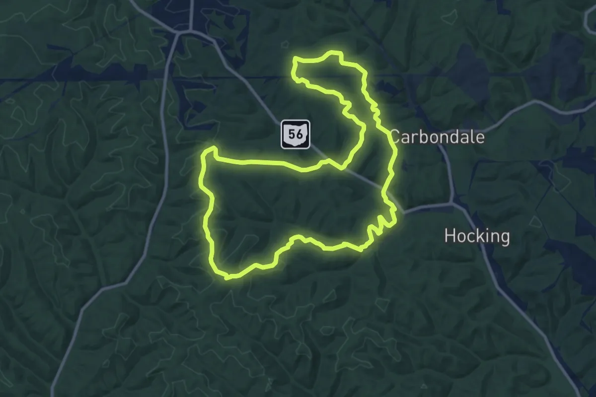
Medium · Trail
Zaleski Backpack Trail - North Loop
11.0 km · ↑ 278 m · 3 h 21 min
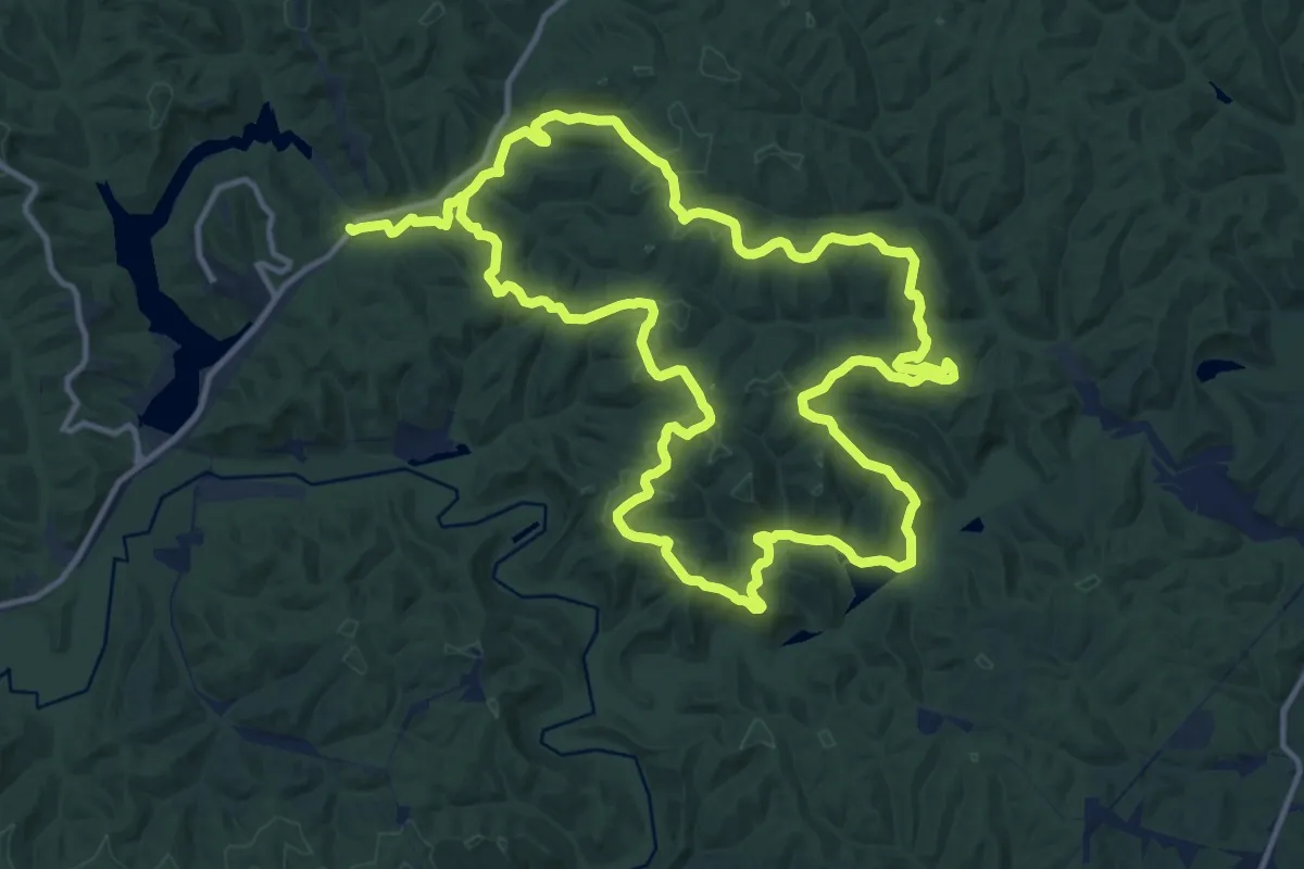
Medium · Trail
Zaleski Backpack Trail - South Loop
15.7 km · ↑ 487 m · 4 h 59 min
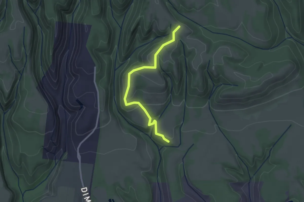
Easy · Trail
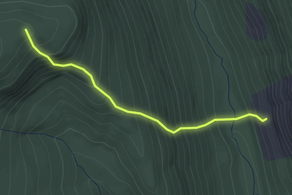
Zane Gray Cutoff
2.8 km · ↑ 94 m · 52 min
Medium · Trail
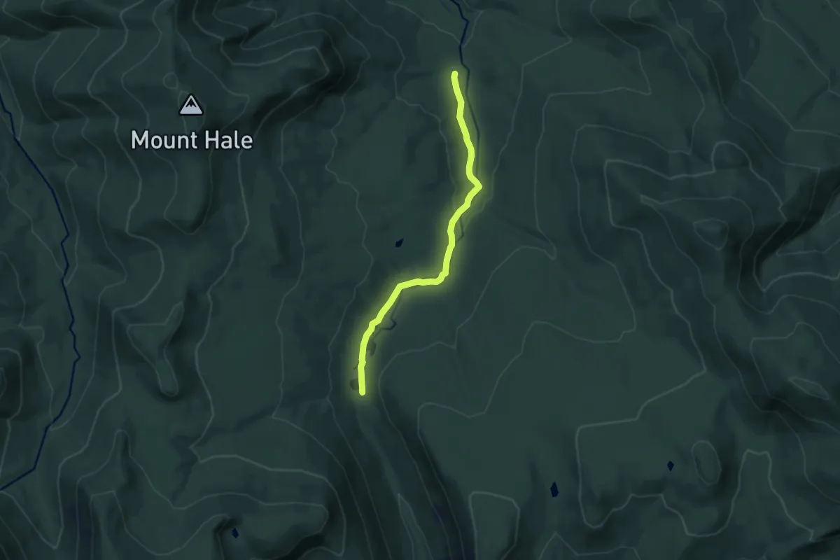
Zeacliff Trail
3.7 km · ↑ 542 m · 2 h 2 min
Easy · Trail
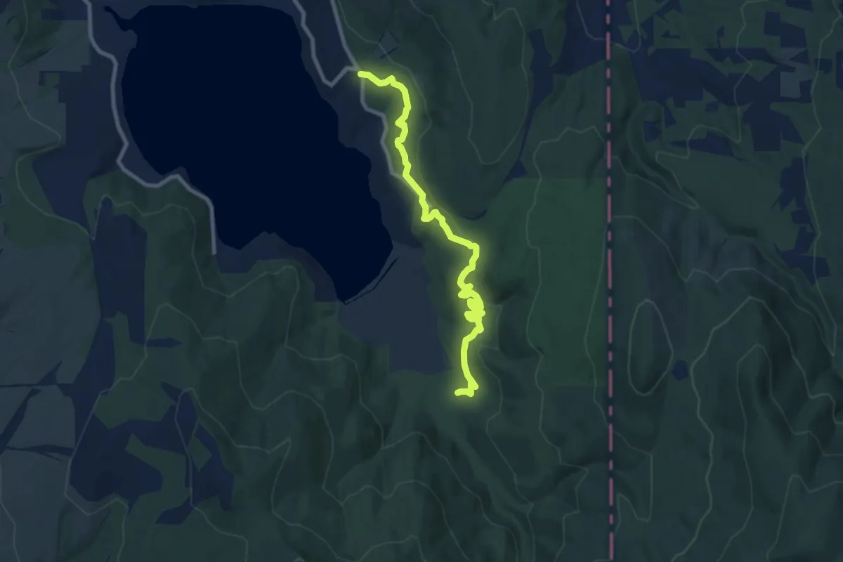
Zealand Trail
7.8 km · ↑ 130 m · 2 h 7 min
Medium · Trail
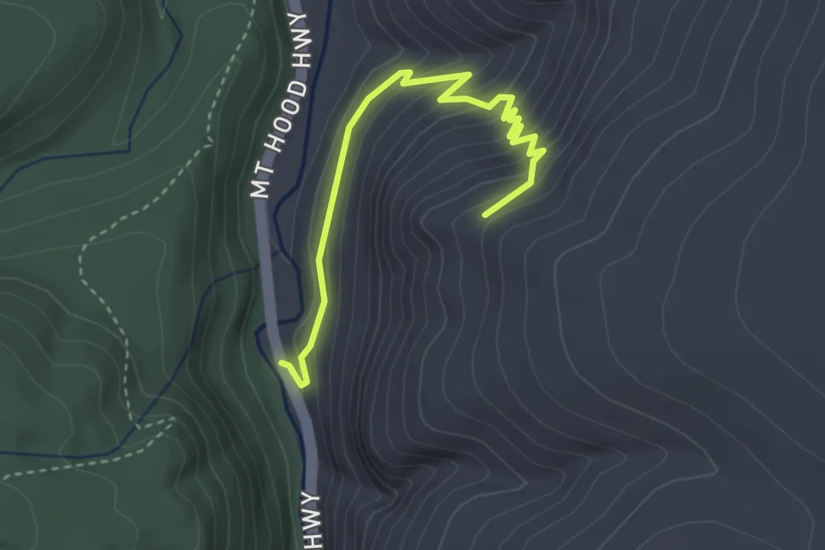
Zephyr Connector Trail
8.4 km · ↑ 200 m · 2 h 26 min
Easy · Trail
Zig Zag Trail
3.4 km · ↑ 263 m · 1 h 23 min
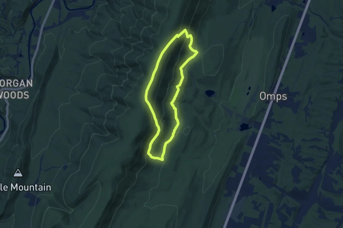
Medium · Trail
Ziler Loop Trail
7.5 km · ↑ 365 m · 2 h 40 min
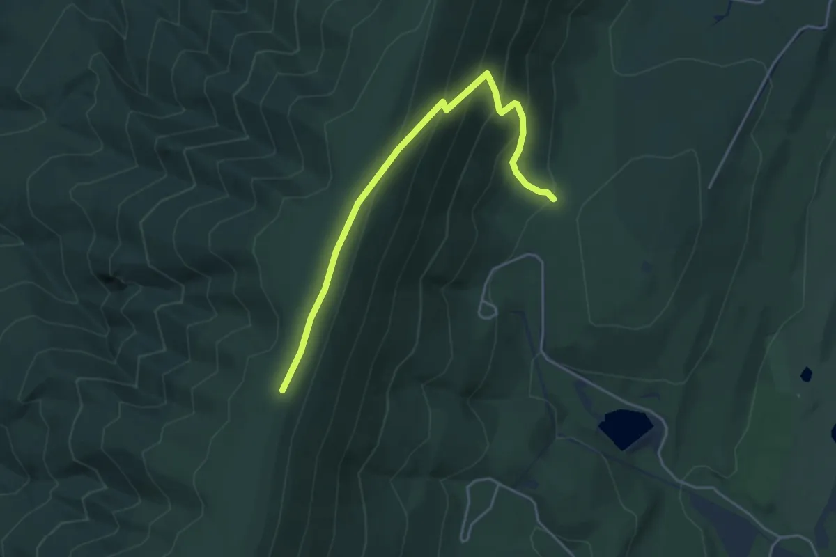
Easy · Trail
Ziler Loop Trail (North)
4.8 km · ↑ 272 m · 1 h 44 min
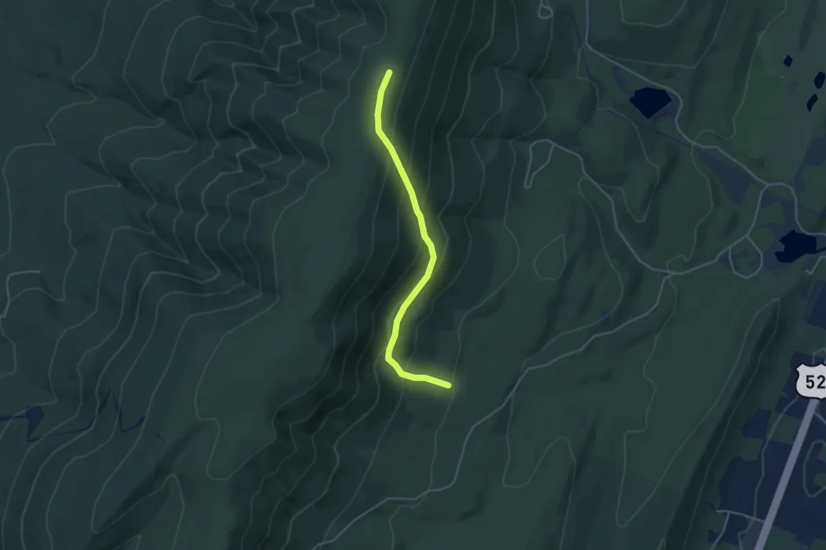
Easy · Trail
Ziler Loop Trail (South)
4.2 km · ↑ 278 m · 1 h 35 min
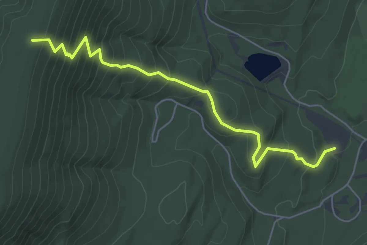
Medium · Trail
Ziler Trail Hiking Only
5.6 km · ↑ 389 m · 2 h 11 min
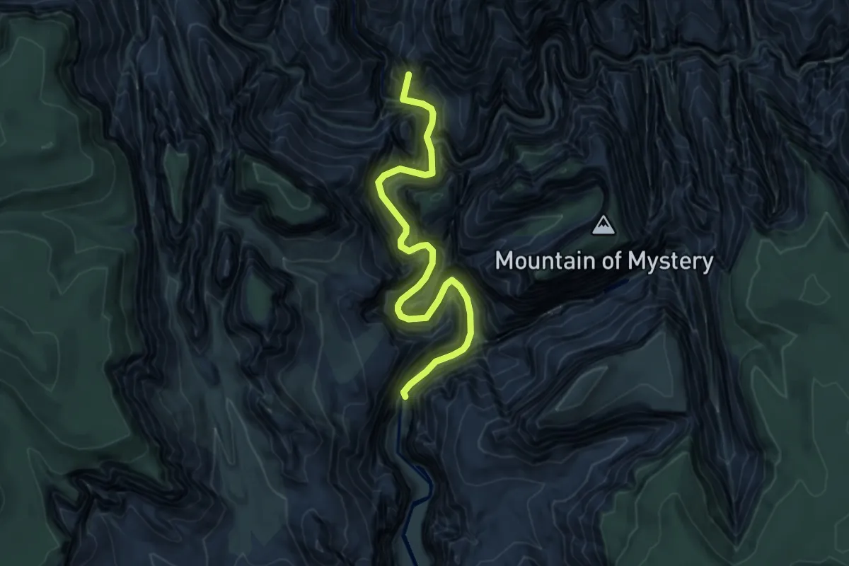
Demanding · Summit
Zion Narrows Bottom-Up Day-Hiking Route
5.9 km · ↑ 919 m · 3 h 23 min
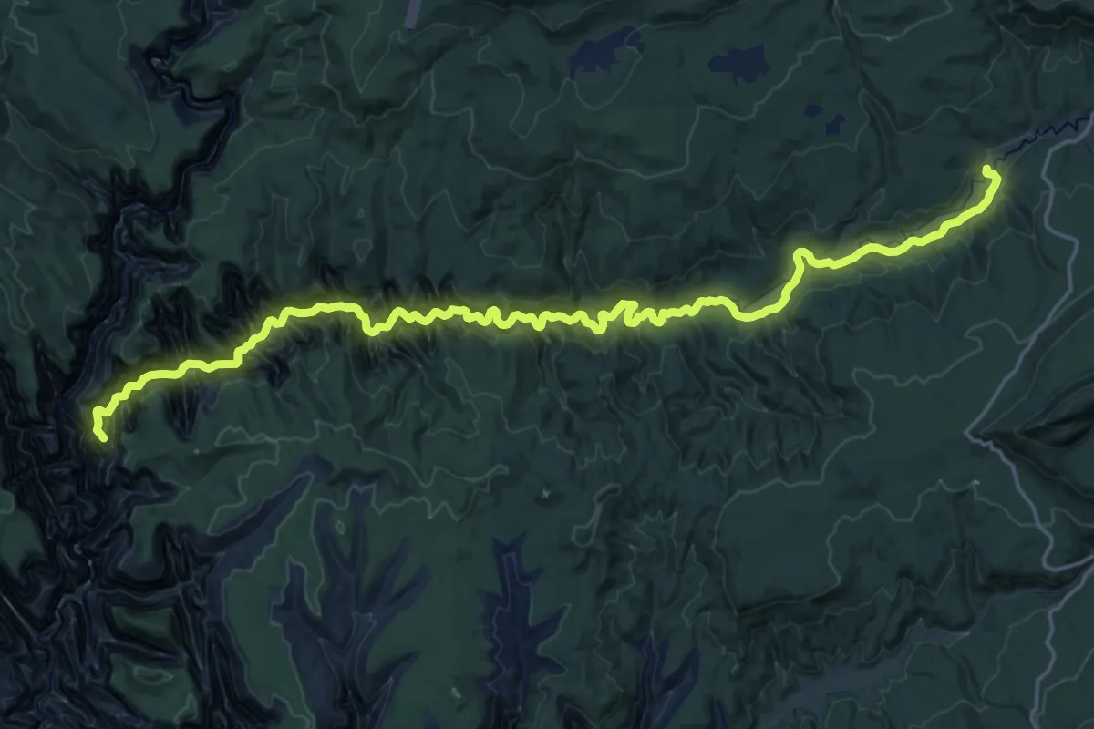
Demanding · Summit
Zion Narrows Top-Down Hiking Route
28.4 km · ↑ 1928 m · 10 h 53 min
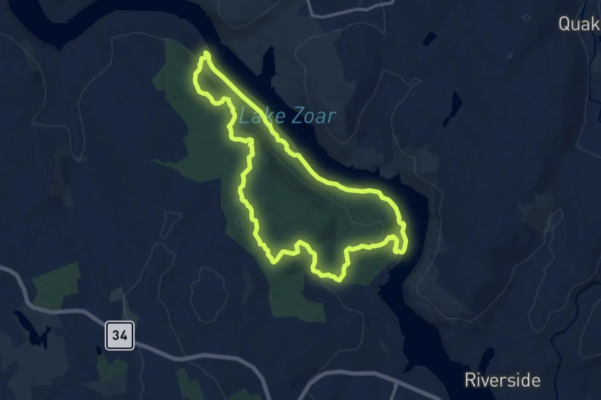
Medium · Trail
Zoar Trail
10.1 km · ↑ 343 m · 3 h 15 min
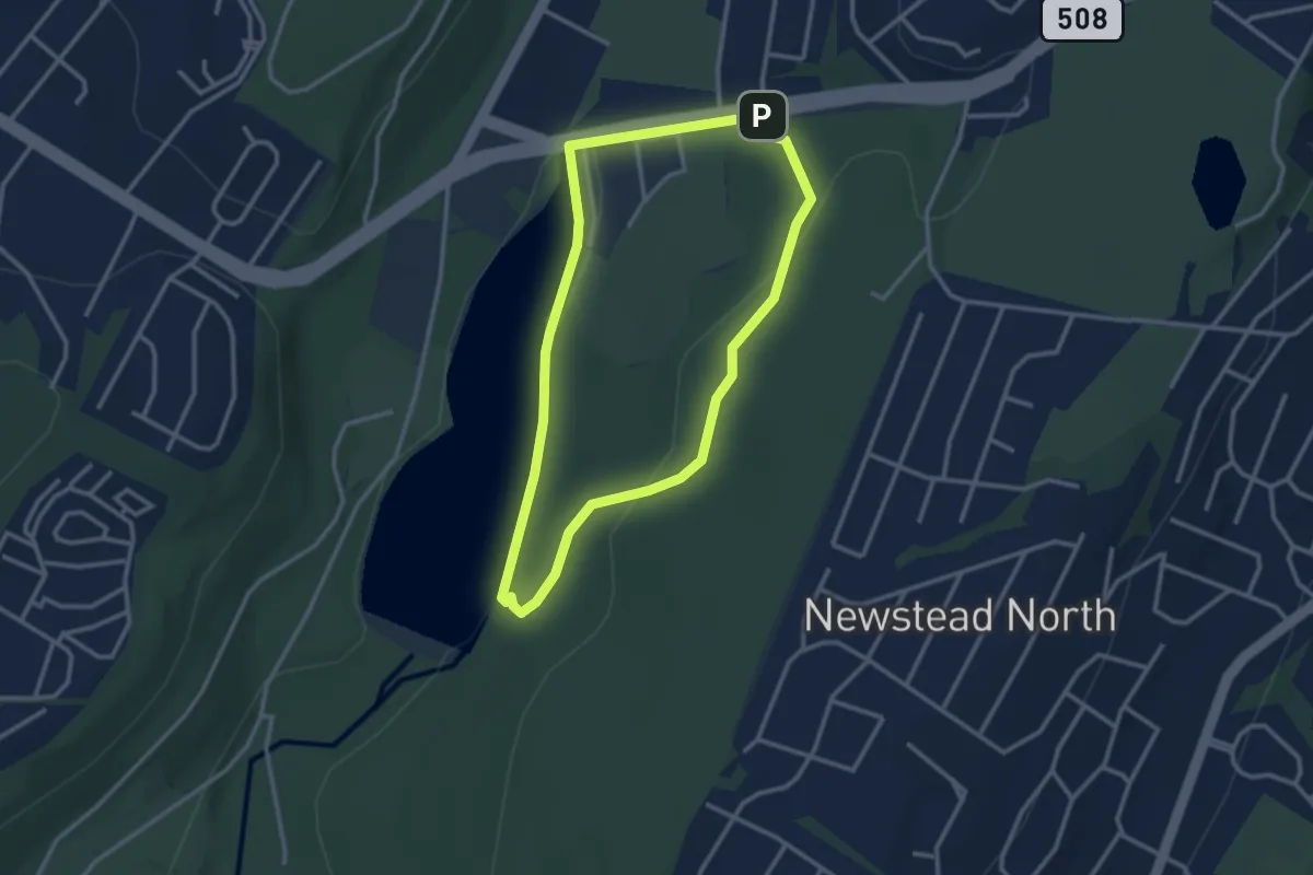
Easy · Trail
Zoo Loop
3.2 km · ↑ 45 m · 54 min
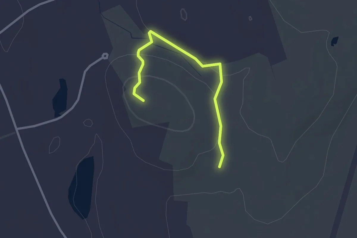
Easy · Summit
100 Acre Pasture
2.6 km · ↑ 65 m · 45 min
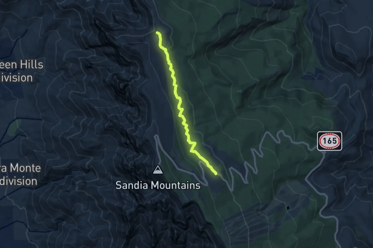
Medium · Trail
10k Trail North
8.3 km · ↑ 327 m · 2 h 39 min
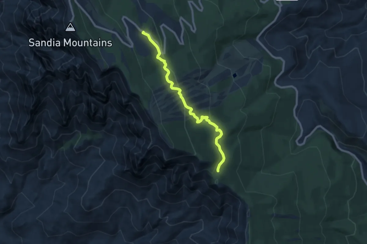
Medium · Trail
10k Trail South
7.4 km · ↑ 288 m · 2 h 23 min
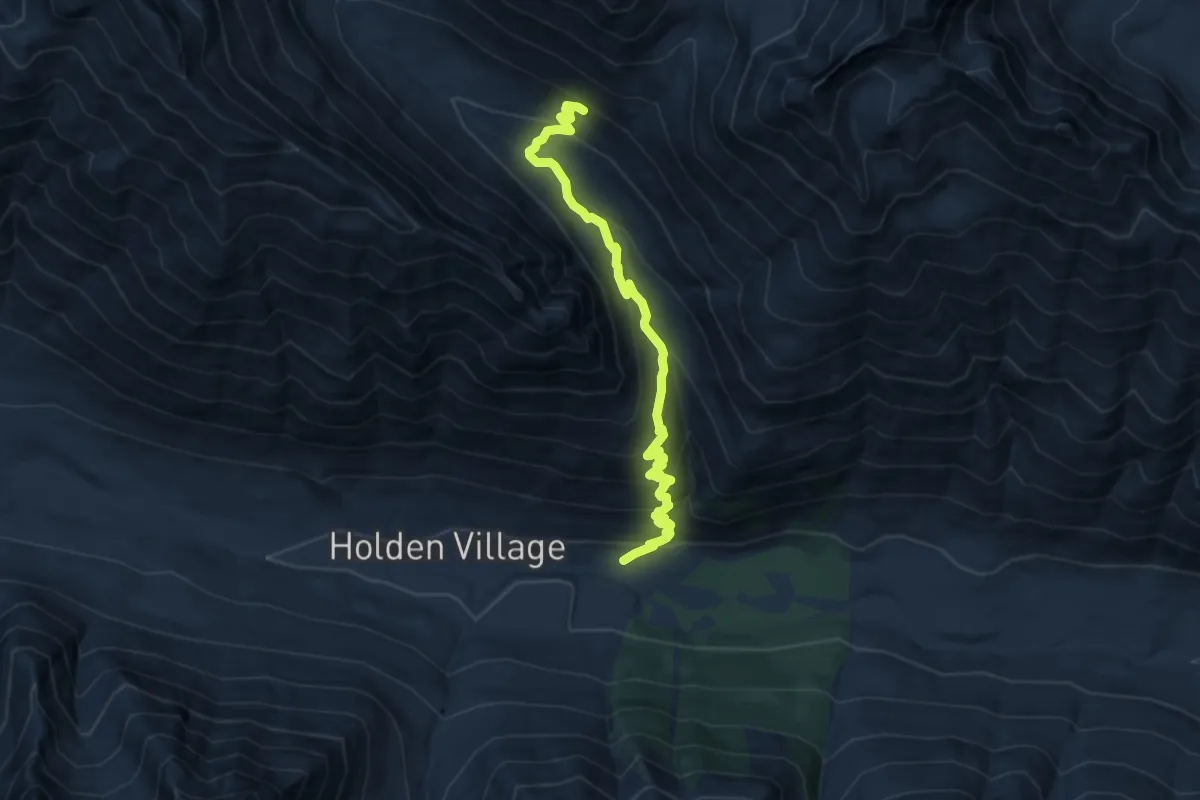
Medium · Trail
10 Mile Creek Trail
8.9 km · ↑ 693 m · 3 h 37 min
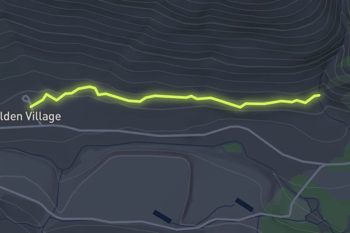
Easy · Trail
10 Mile Falls Trail
2.7 km · ↑ 52 m · 45 min
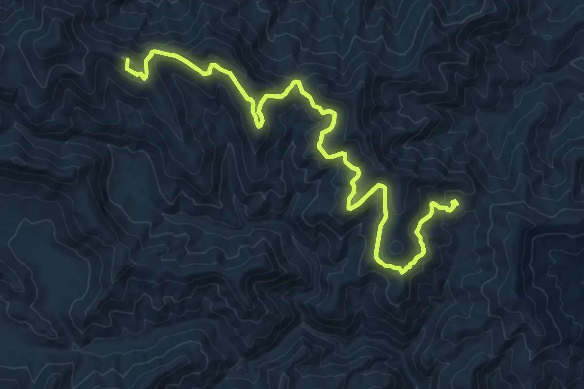
Medium · Summit
121 Laurel Mountain
13.7 km · ↑ 338 m · 3 h 57 min
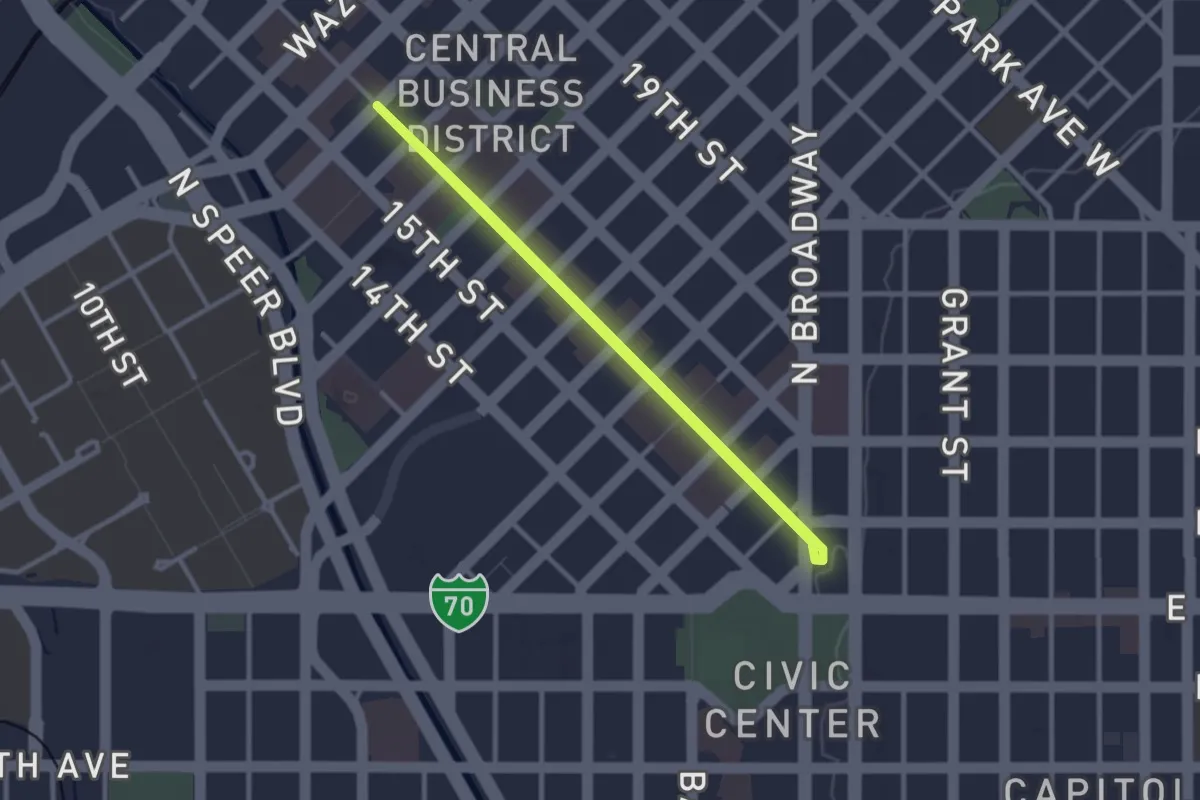
Easy · Trail
16th Street Mall
2.8 km · ↑ 13 m · 44 min
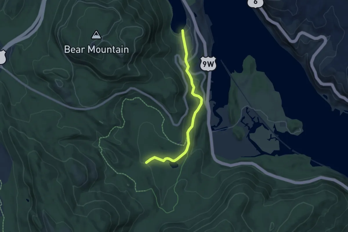
Easy · Trail
1777 E Trail
5.4 km · ↑ 99 m · 1 h 30 min
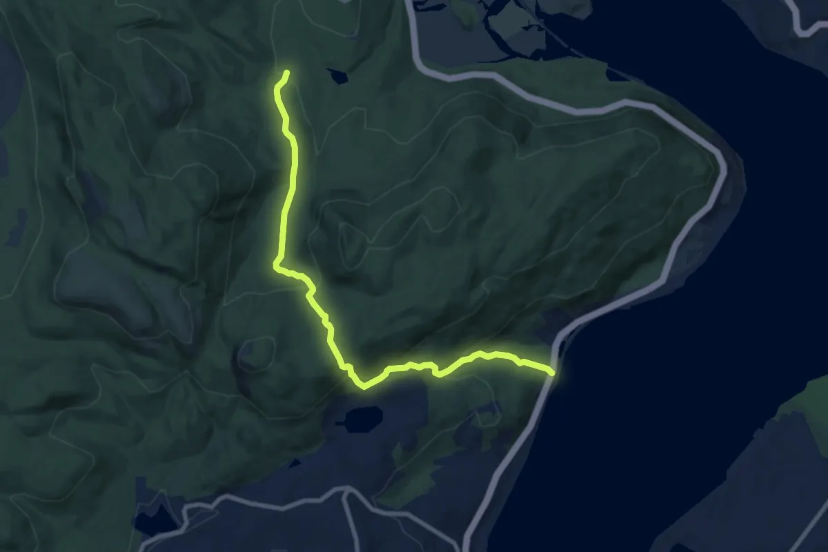
Medium · Trail
1777 Trail
9.1 km · ↑ 428 m · 3 h 5 min
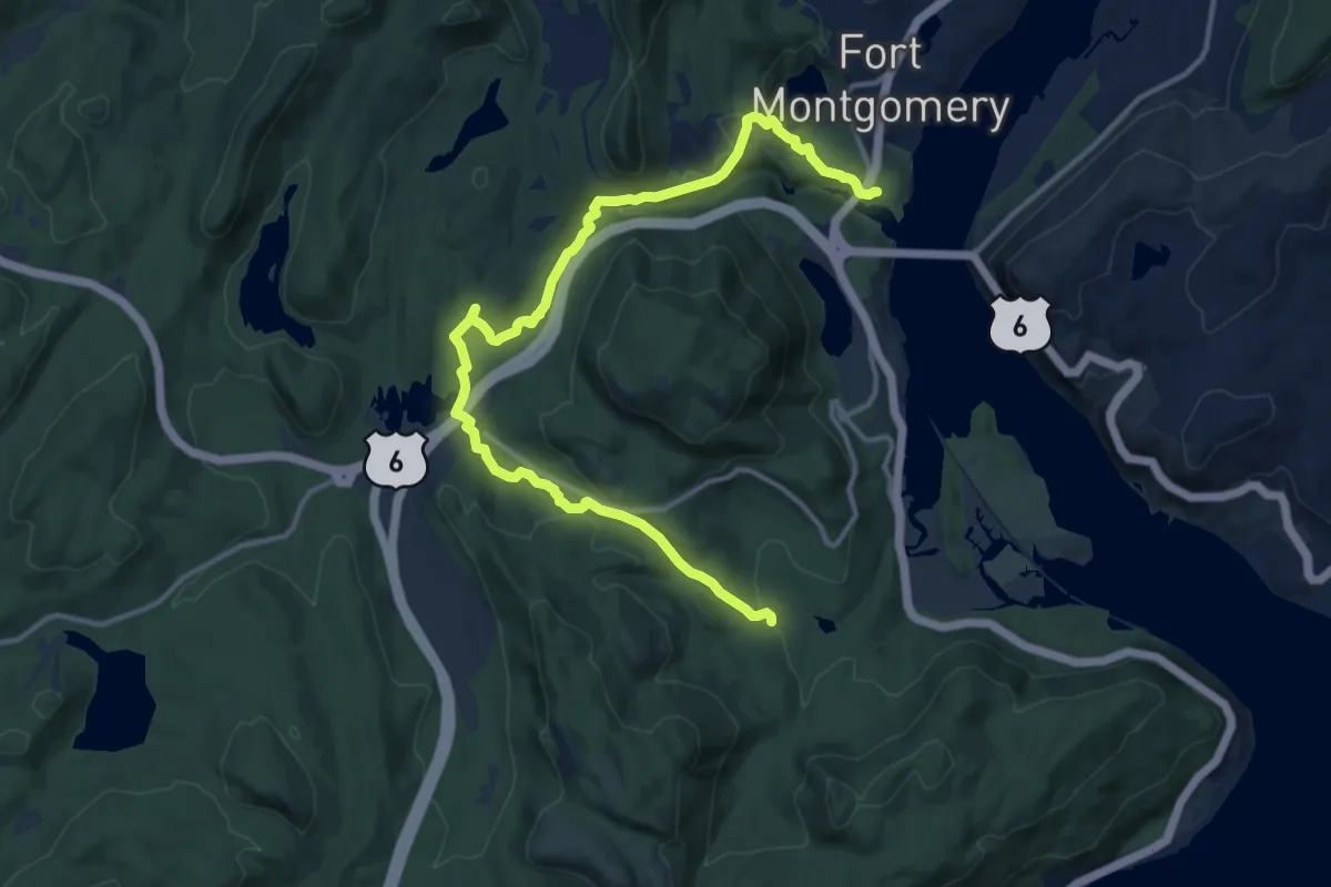
Medium · Trail
1777 W Trail
17.0 km · ↑ 451 m · 5 h
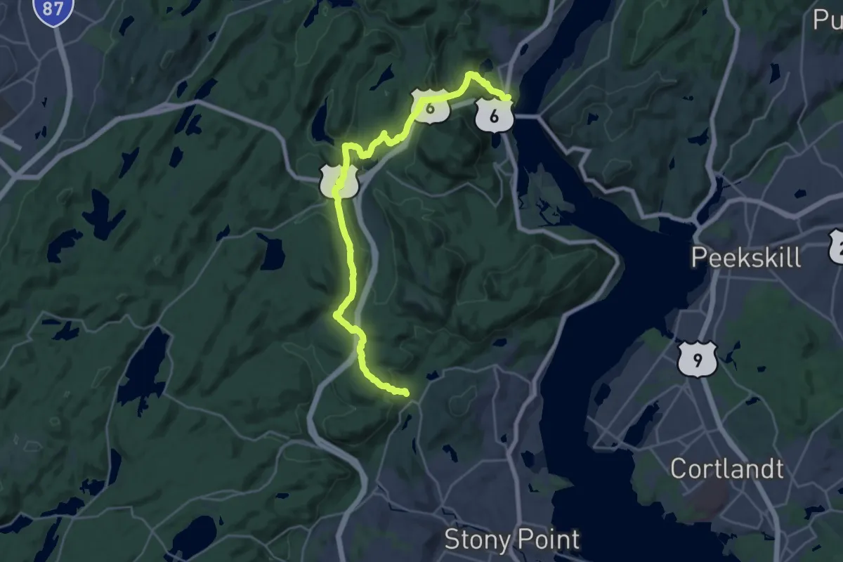
Demanding · Trail
1779 Trail
26.9 km · ↑ 649 m · 7 h 46 min
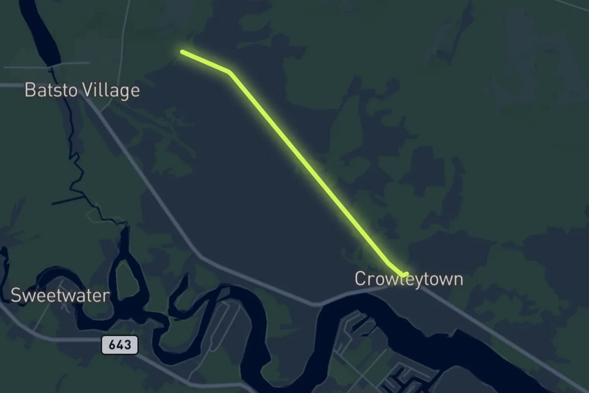
Easy · Trail
1808 Trail
5.1 km · ↑ 0 m · 1 h 12 min
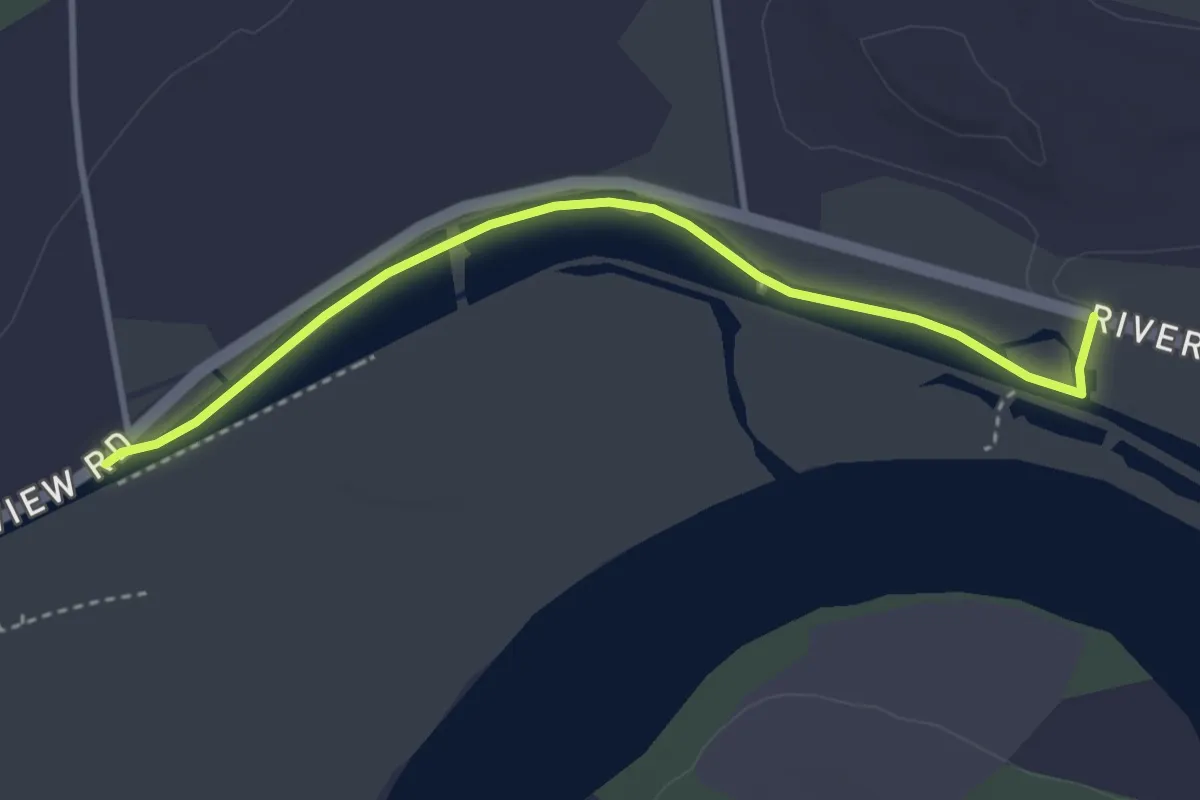
Easy · Trail
1825 Erie Canal Towpath
3.8 km · ↑ 0 m · 54 min
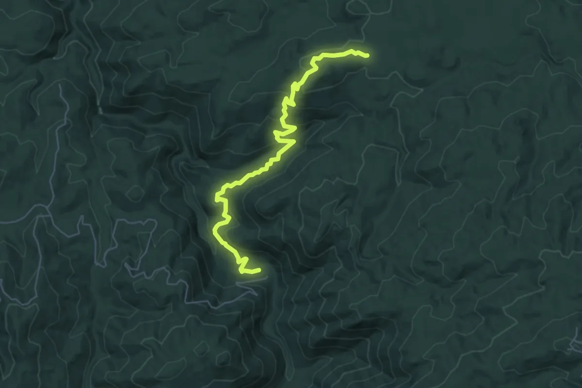
Easy · Trail
2W07
7.0 km · ↑ 301 m · 2 h 18 min
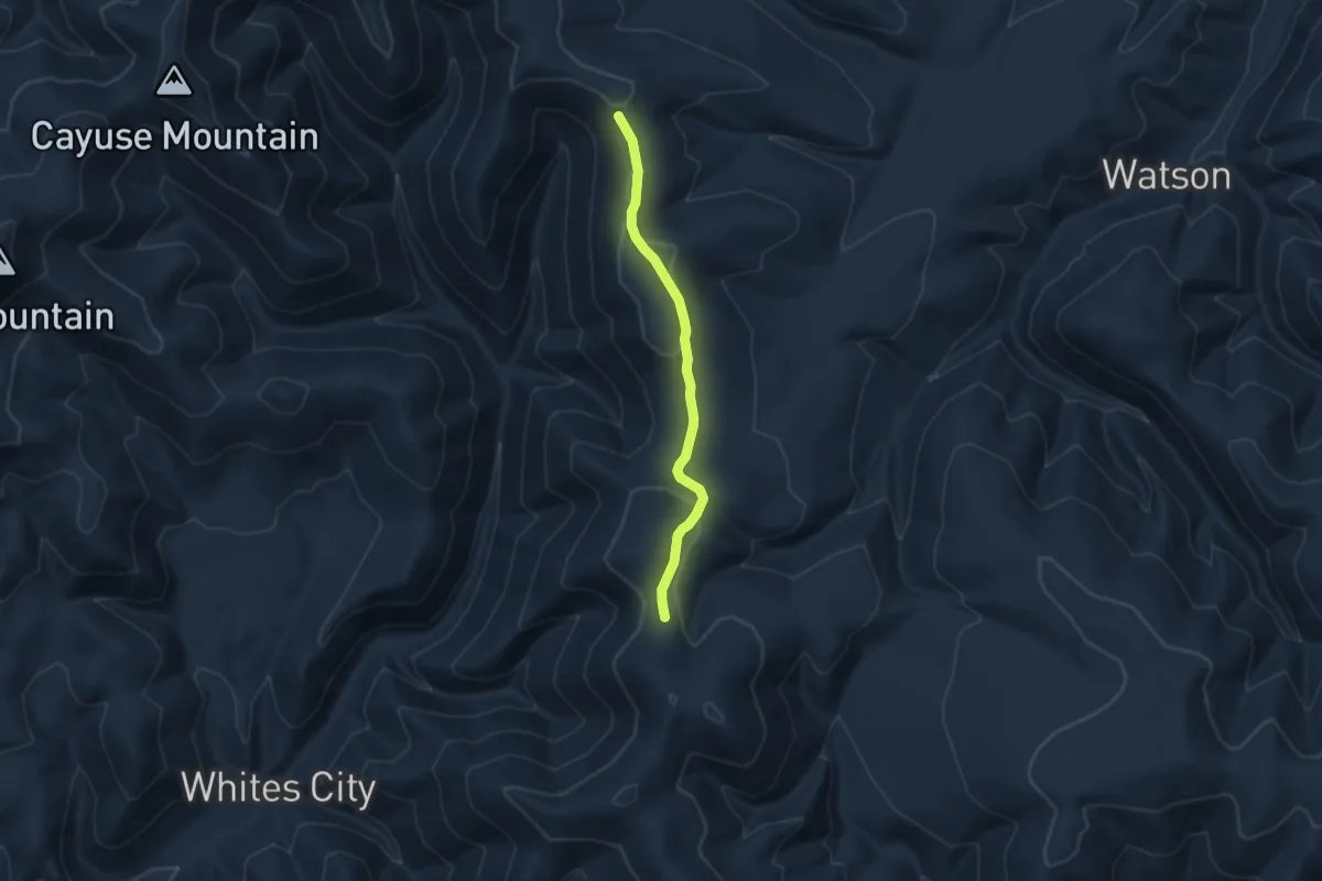
Easy · Trail
30007
7.0 km · ↑ 187 m · 2 h 3 min
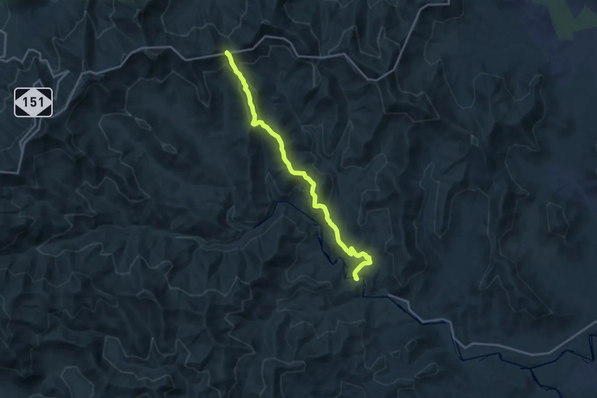
Medium · Trail
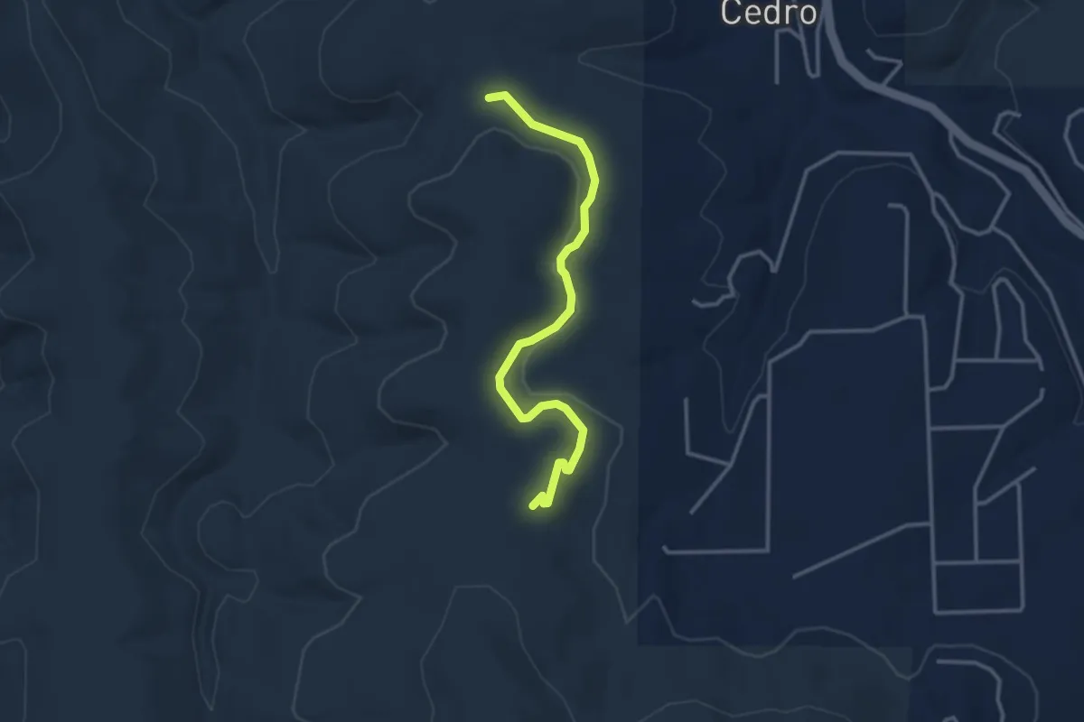
354 Trace Ridge
14.1 km · ↑ 535 m · 4 h 29 min
Medium · Trail
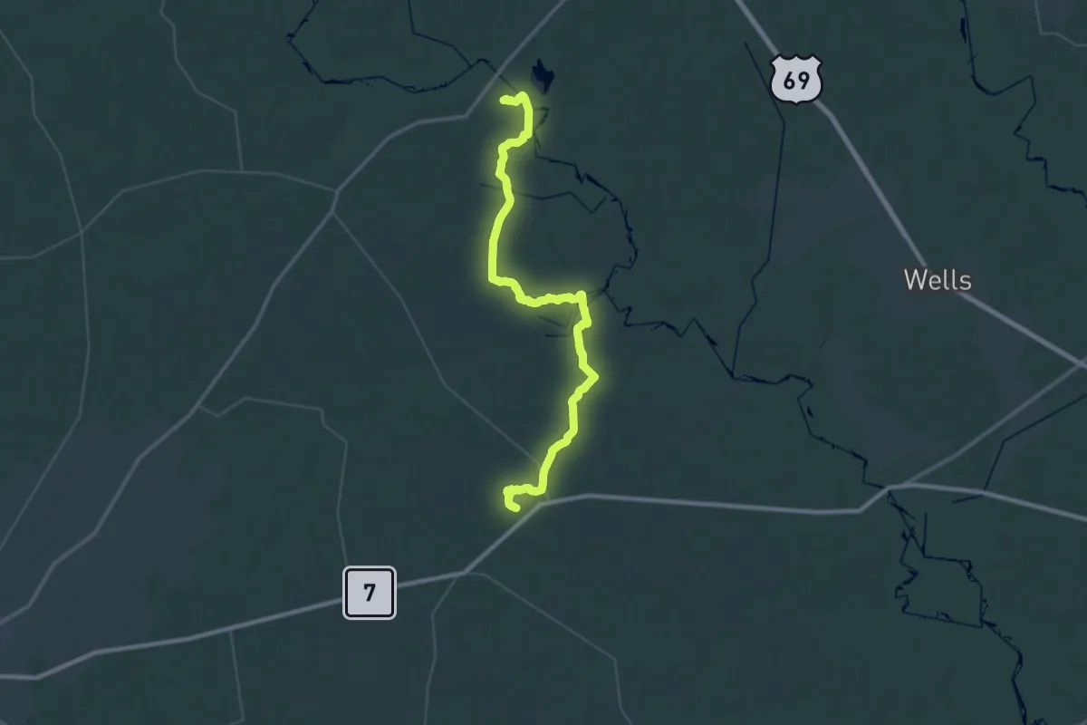
3 Bottles Flow Trail
3.8 km · ↑ 42 m · 59 min
Demanding · Trail
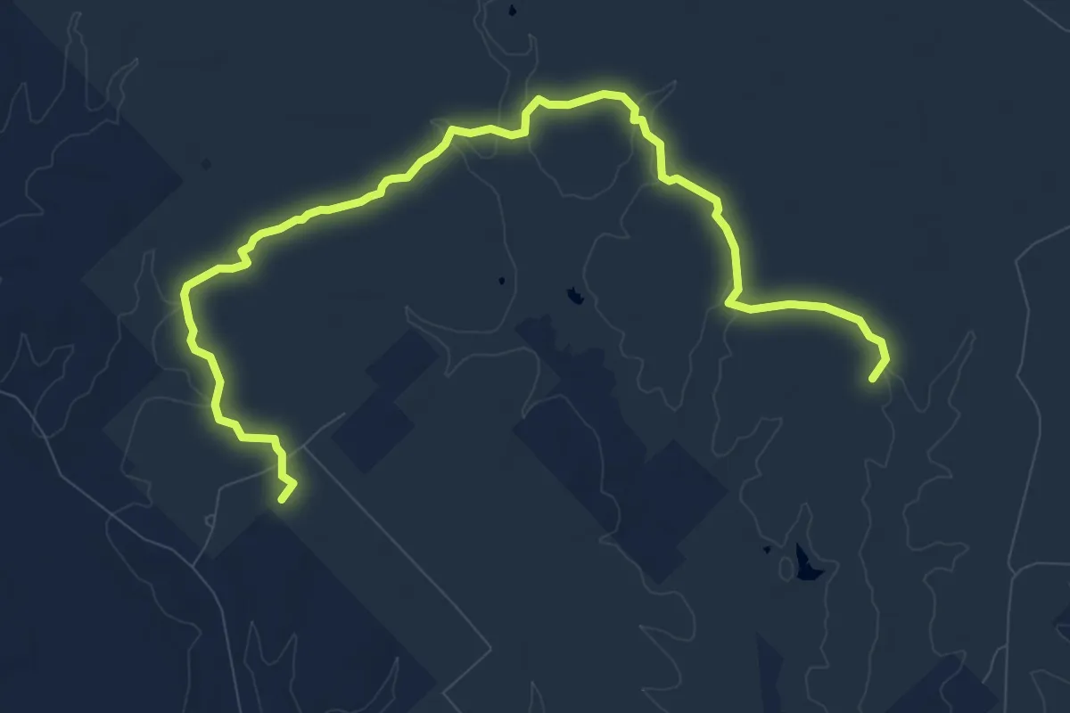
4C National Recreation Trail
31.6 km · ↑ 237 m · 8 h 25 min
Medium · Trail
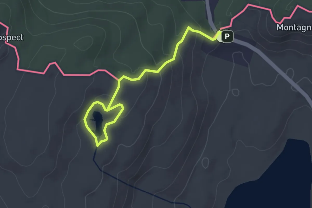
4 Notch Loop Trail
15.3 km · ↑ 163 m · 3 h 59 min
Easy · Trail
4th Connecticut Lake Trail
3.9 km · ↑ 167 m · 1 h 17 min
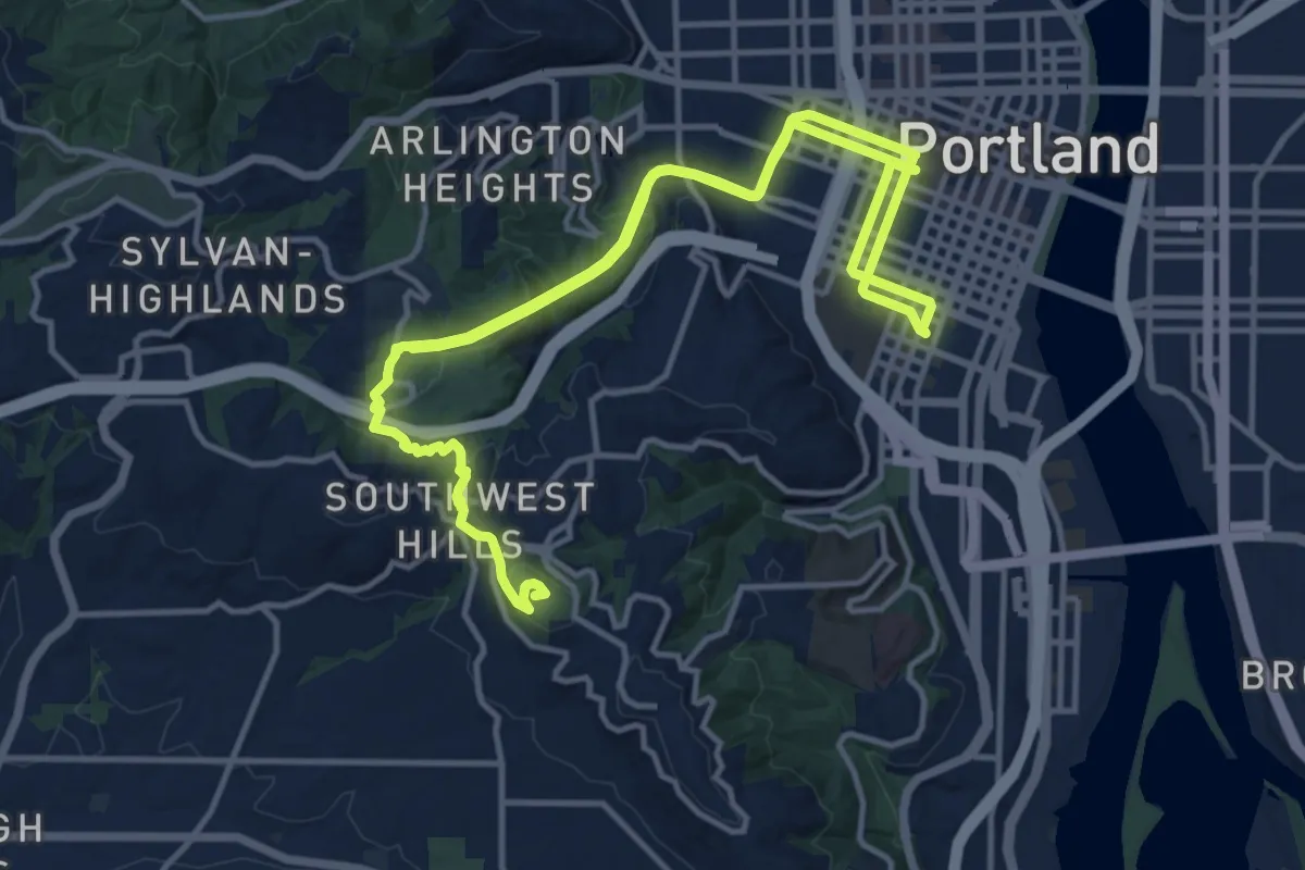
Demanding · Summit
4T Trail
24.3 km · ↑ 838 m · 7 h 33 min
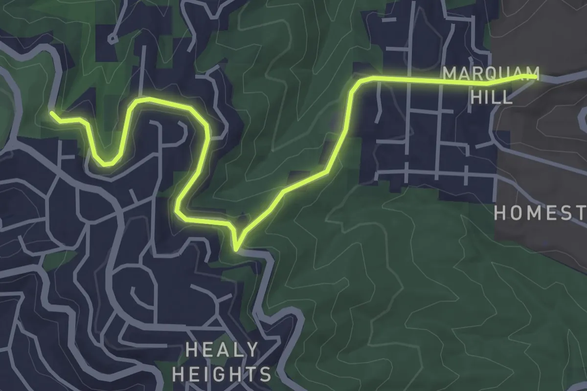
Easy · Trail
4T Trail
4.2 km · ↑ 105 m · 1 h 14 min
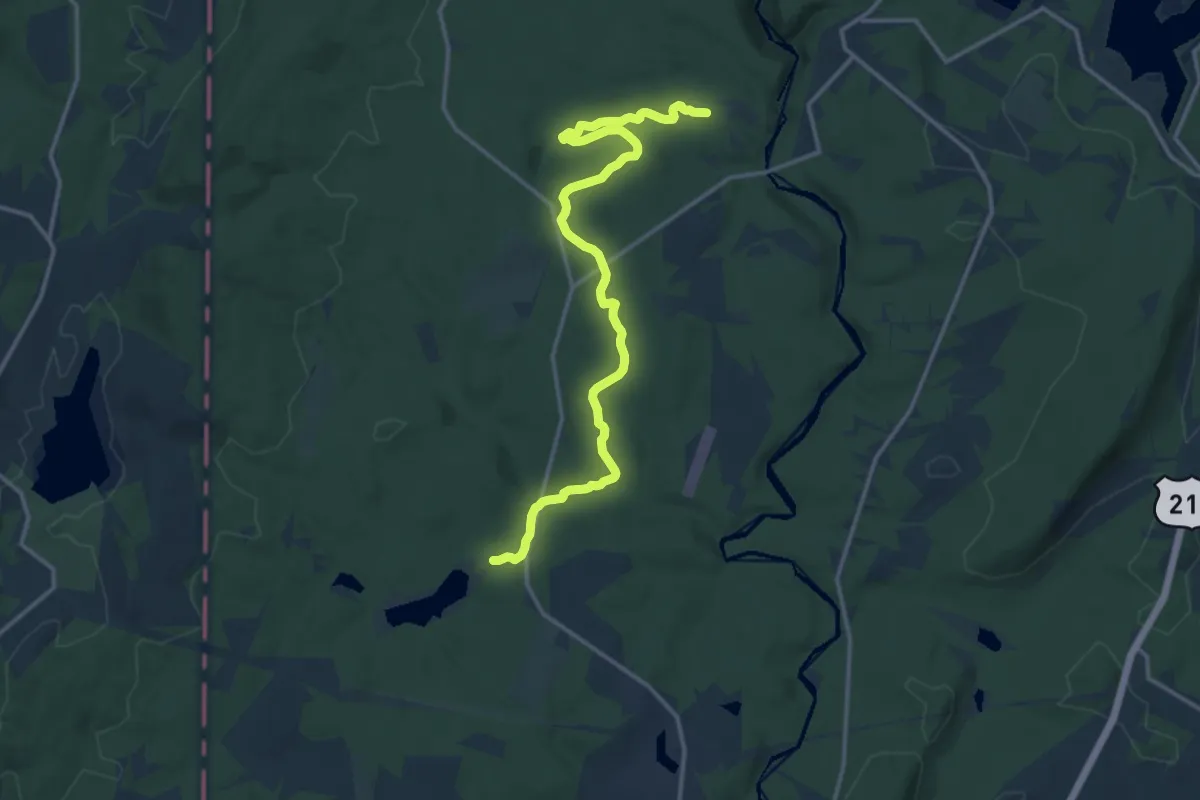
Medium · Trail
5.5 Mile Trail
17.5 km · ↑ 186 m · 4 h 33 min
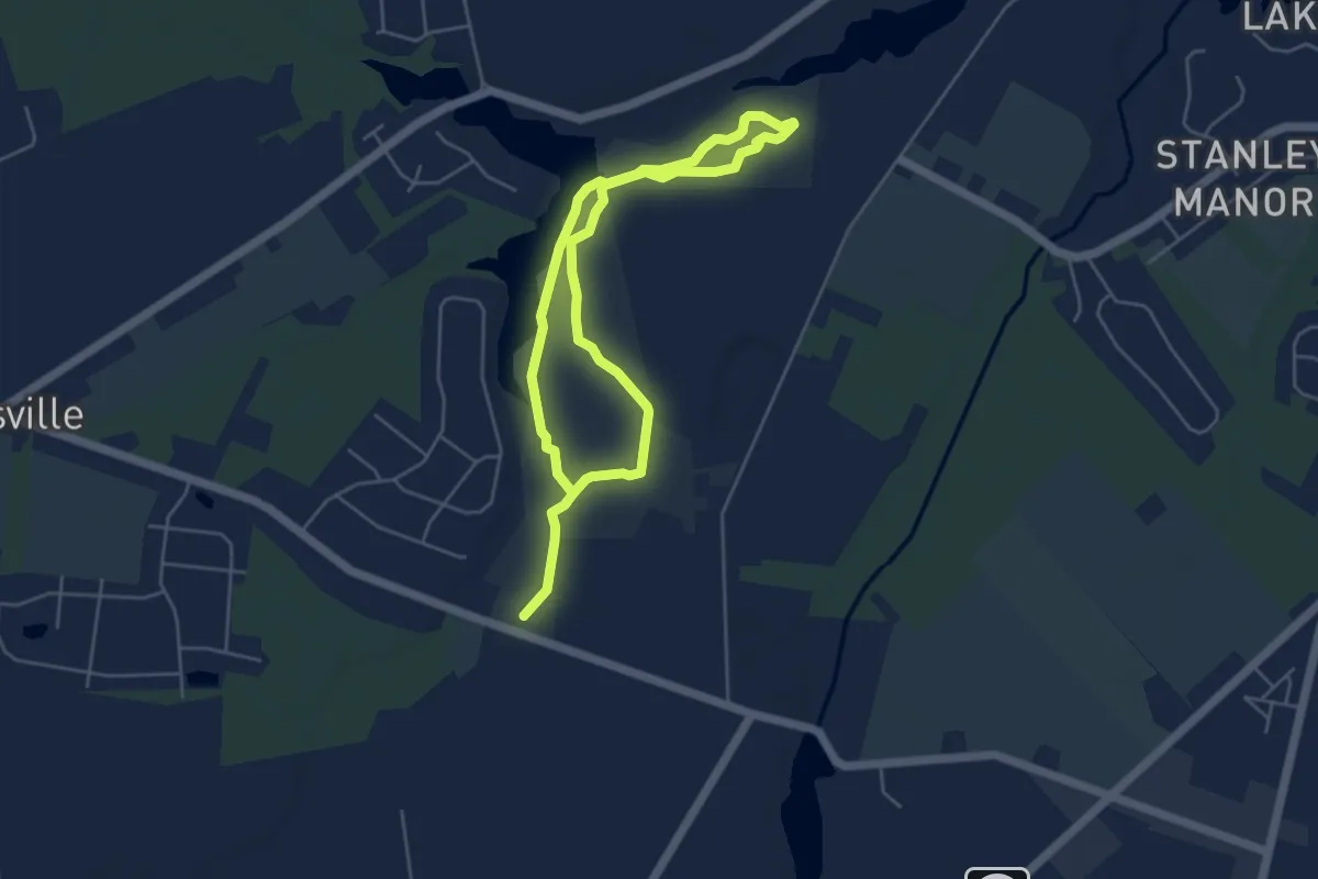
Medium · Trail
5K Trail
9.2 km · ↑ 4 m · 2 h 11 min
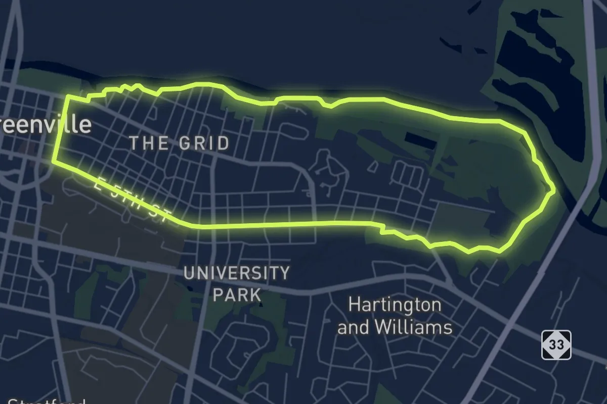
Medium · Trail
5th Street and Campus
8.4 km · ↑ 13 m · 2 h 8 min
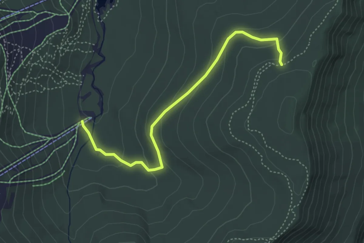
Easy · Trail
6000 Steps Trail
5.0 km · ↑ 162 m · 1 h 31 min
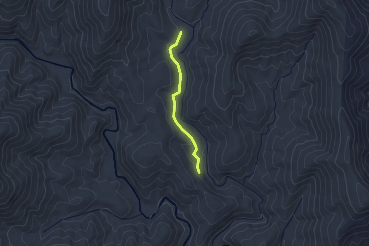
Easy · Trail
606 Wash Creek
2.5 km · ↑ 25 m · 38 min
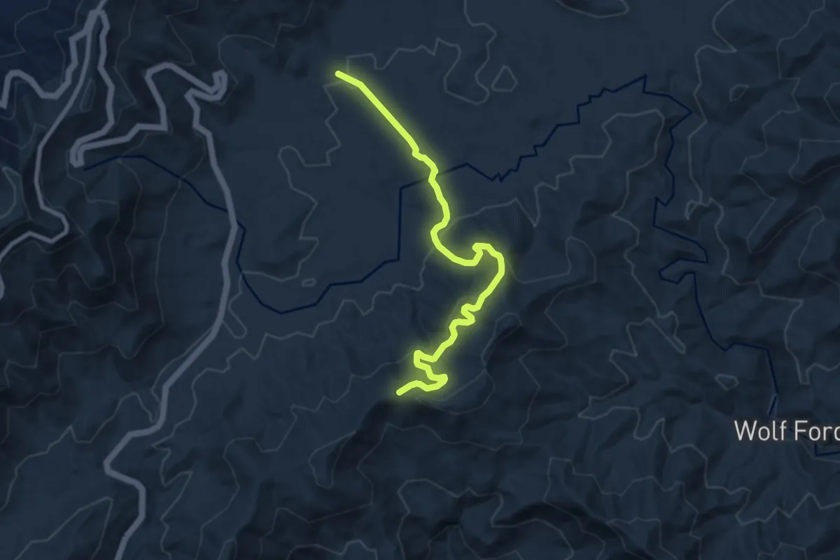
Medium · Trail
618 Bennet Branch
9.4 km · ↑ 310 m · 2 h 53 min
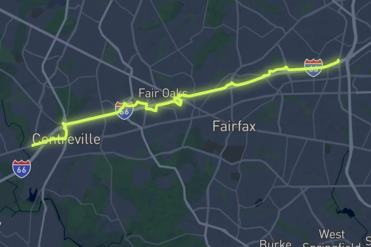
Demanding · Trail
66 Parallel Trail
25.2 km · ↑ 209 m · 6 h 45 min
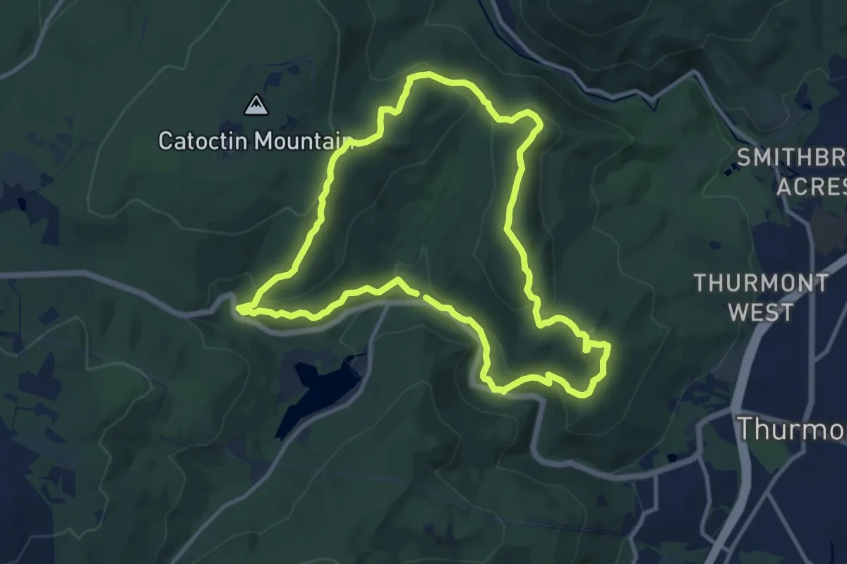
Medium · Summit
8 Mile Loop Trail
11.3 km · ↑ 434 m · 3 h 46 min
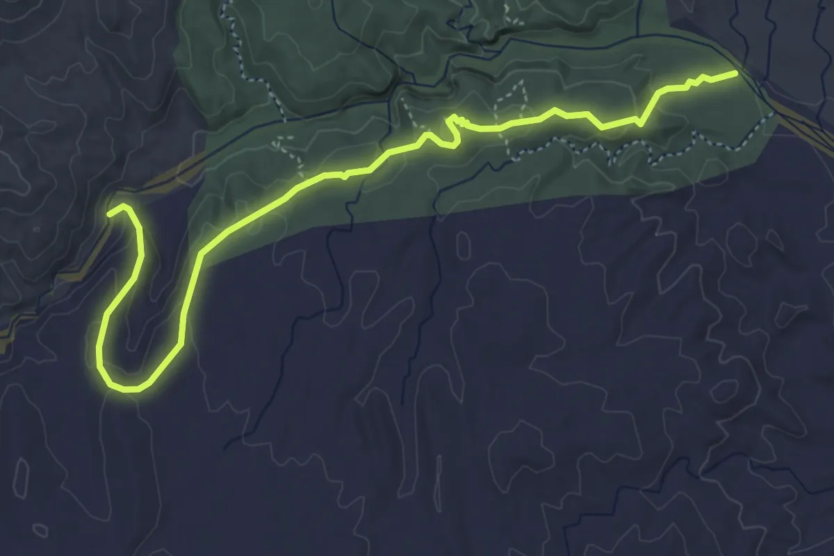
Medium · Trail
San Lorenzo Arroyo – San Lorenzo Ridge Trailhead
6.5 km · ↑ 238 m · 2 h 2 min