Trails in United States
10,332 hiking trails, each with its route, climb, walking time and grade.
All trails, page 28 of 216
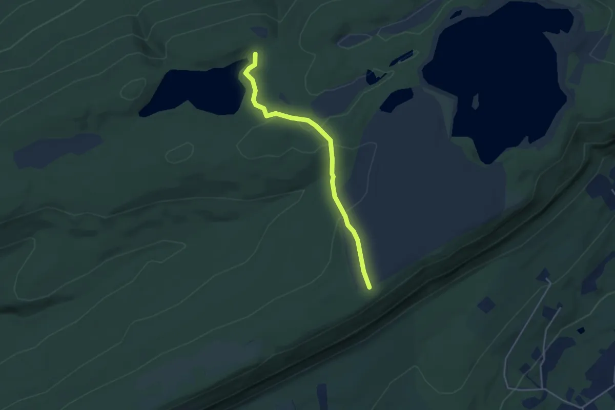
Easy · Trail
Buckwood Trail
3.9 km · ↑ 128 m · 1 h 13 min
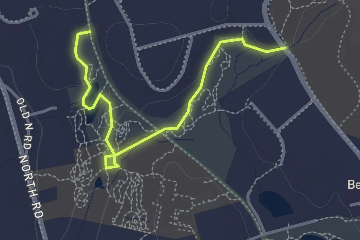
Easy · Trail
Buelher Winthrop Main Trails
3.0 km · ↑ 27 m · 46 min
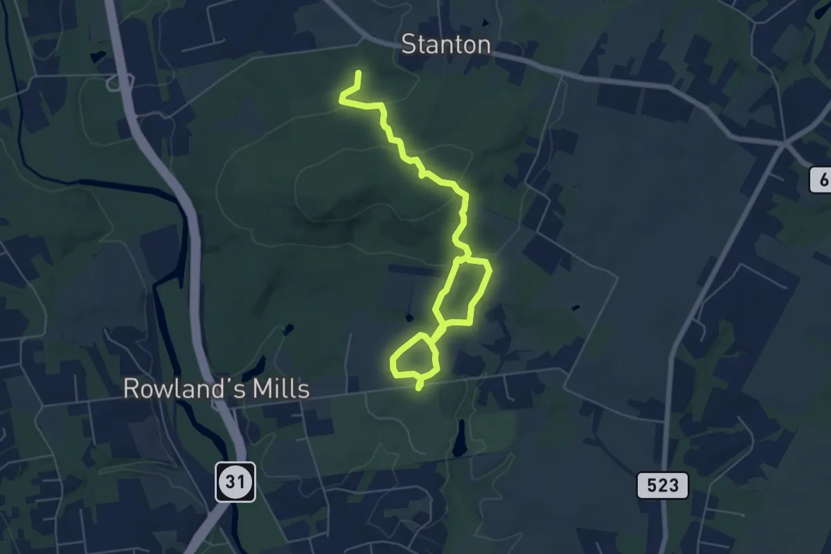
Medium · Trail
Buell Trail
8.3 km · ↑ 248 m · 2 h 29 min
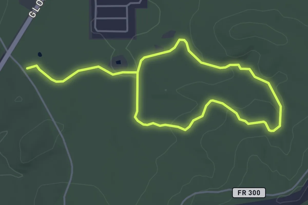
Easy · Trail
Buena Vista Trail Loop 1
3.9 km · ↑ 62 m · 1 h 6 min
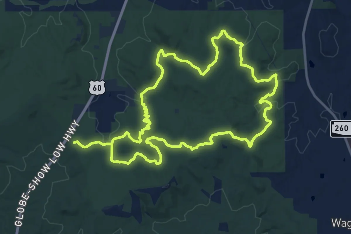
Medium · Trail
Buena Vista Trail Loop 2
15.6 km · ↑ 354 m · 4 h 40 min
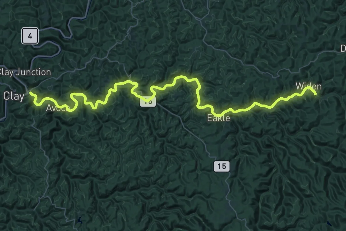
Demanding · Trail
Buffalo Creek Trail
30.1 km · ↑ 65 m · 7 h 44 min
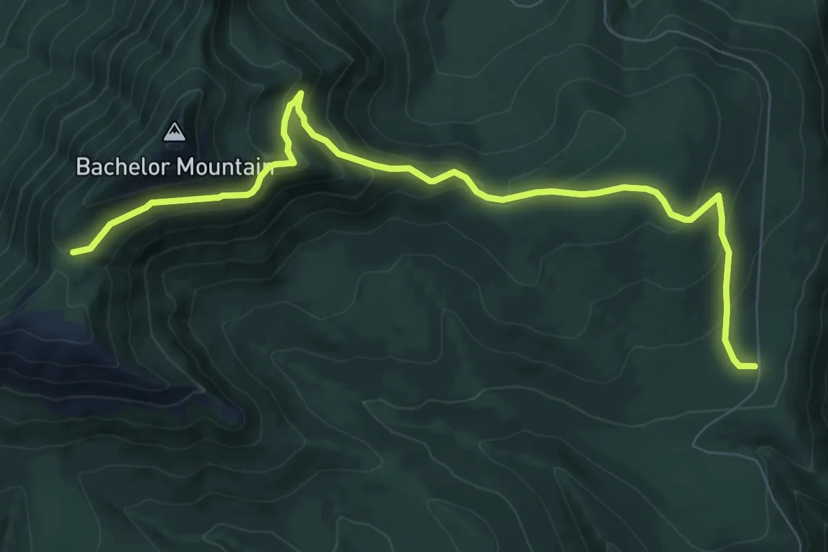
Medium · Trail
Bugaboo Ridge Trail
9.7 km · ↑ 415 m · 3 h 11 min
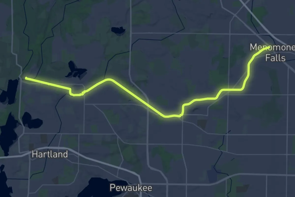
Demanding · Trail
Bugline Trail
25.1 km · ↑ 44 m · 6 h 22 min
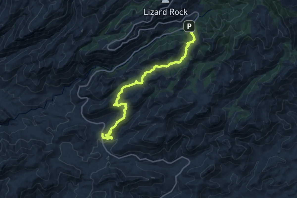
Medium · Trail
Bug Springs Trail
13.9 km · ↑ 627 m · 4 h 38 min
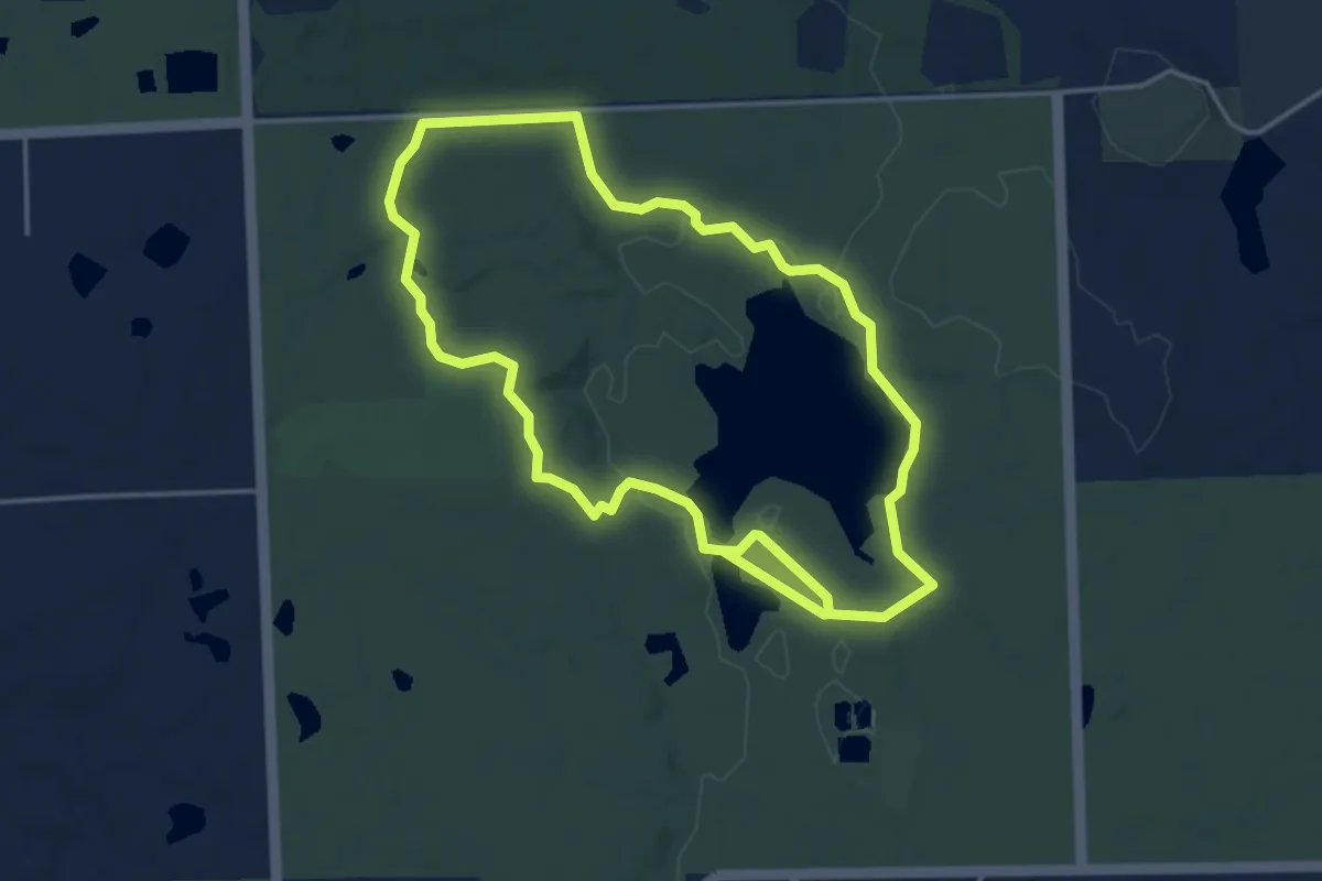
Medium · Trail
Buhl Lake Loop
8.5 km · ↑ 61 m · 2 h 8 min
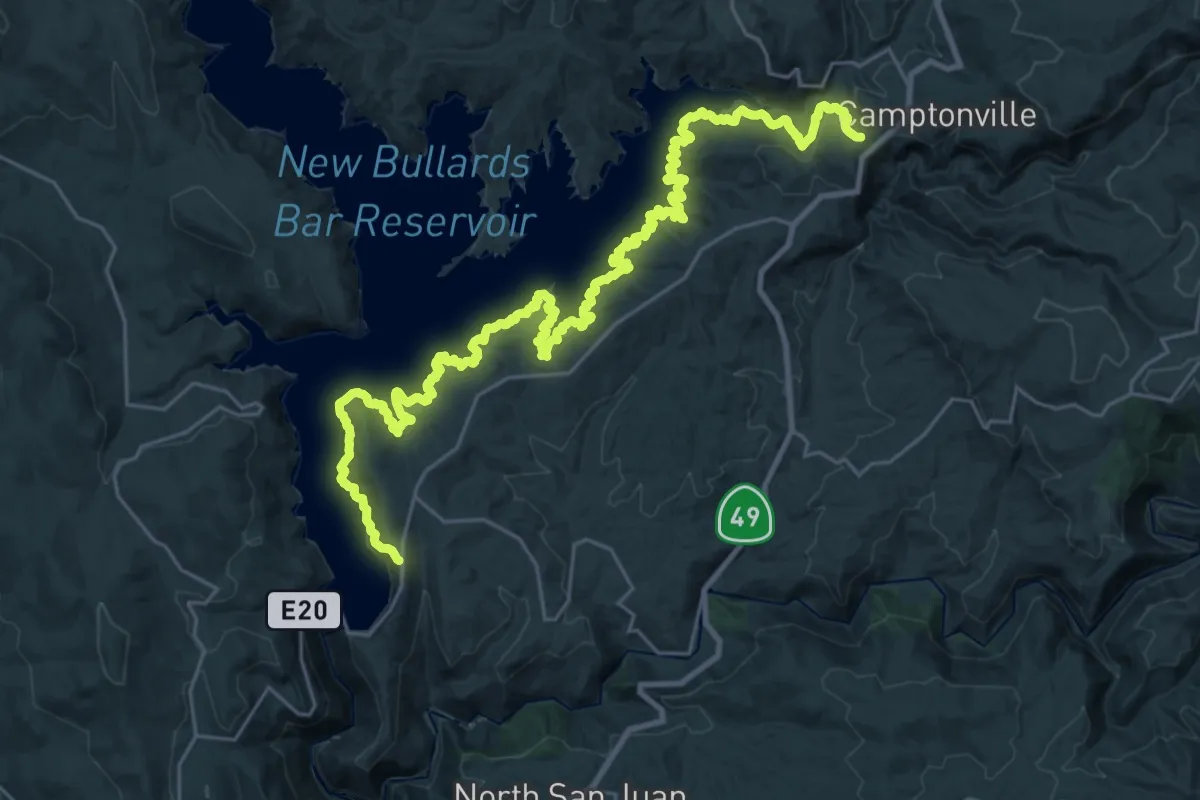
Demanding · Trail
Bullards Bar Trail
20.3 km · ↑ 782 m · 6 h 51 min
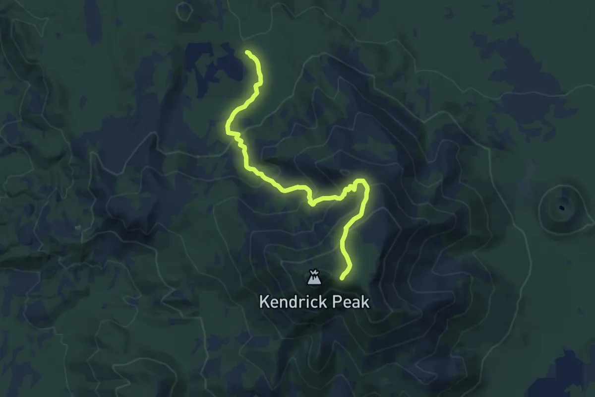
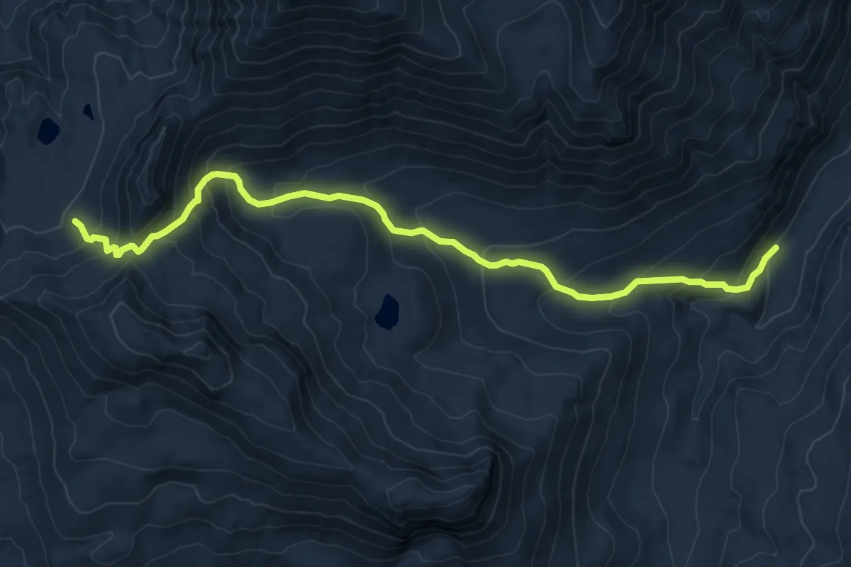
Medium · Trail
Bull Basin Trail #40
12.3 km · ↑ 675 m · 4 h 22 min
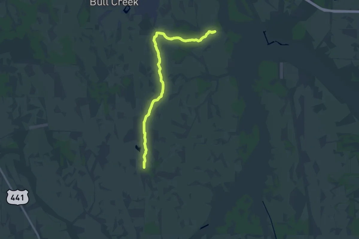
Medium · Trail
Bull Canyon Trail
10.4 km · ↑ 764 m · 4 h 6 min
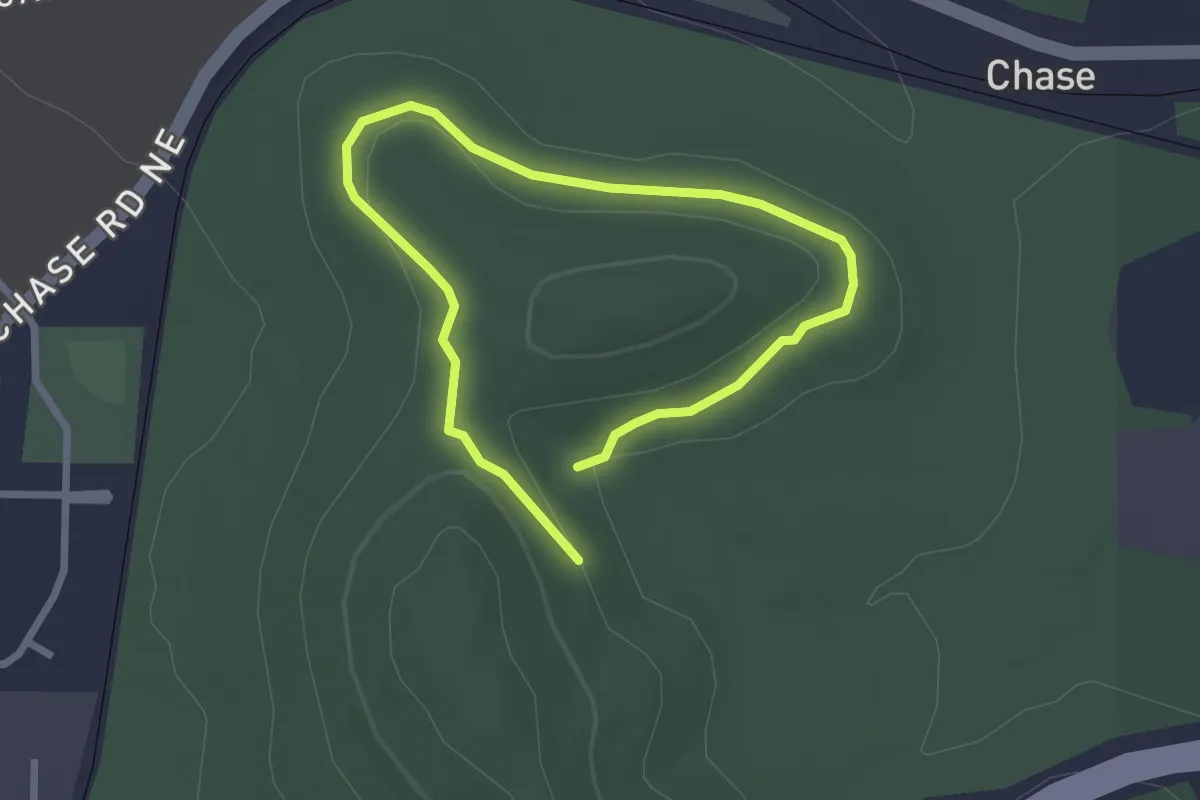
Demanding · Trail
Bull Creek White Loop
20.4 km · ↑ 8 m · 4 h 50 min
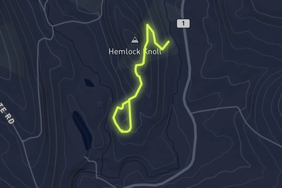
Easy · Trail
Bulldog Trail
2.2 km · ↑ 28 m · 37 min
Easy · Summit
Bullet Hole Spur
2.0 km · ↑ 79 m · 41 min
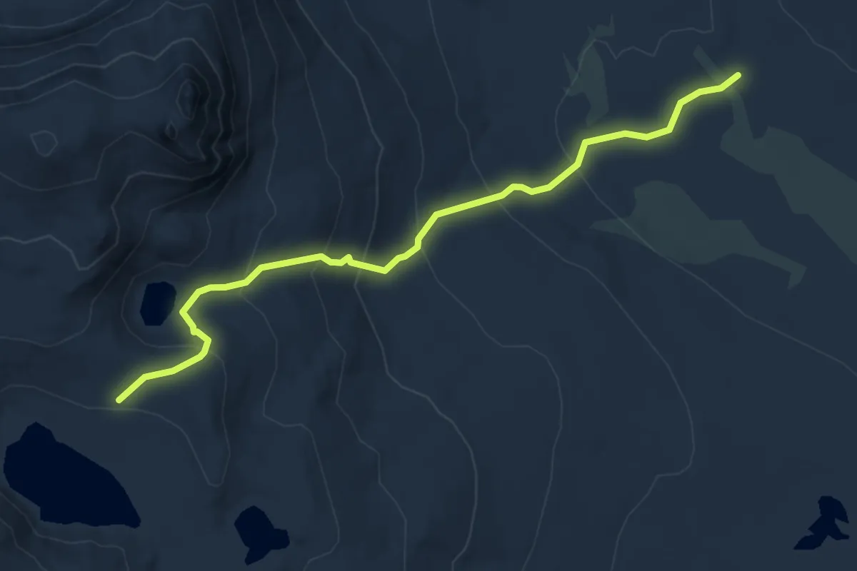
Medium · Trail
Bullfrog Lake Trail
6.0 km · ↑ 336 m · 2 h 8 min
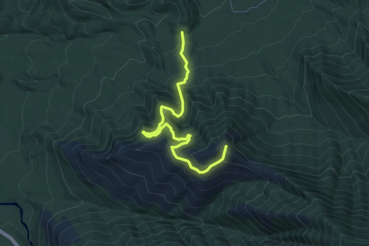
Medium · Summit
Bull Head Trail
7.4 km · ↑ 648 m · 3 h 8 min
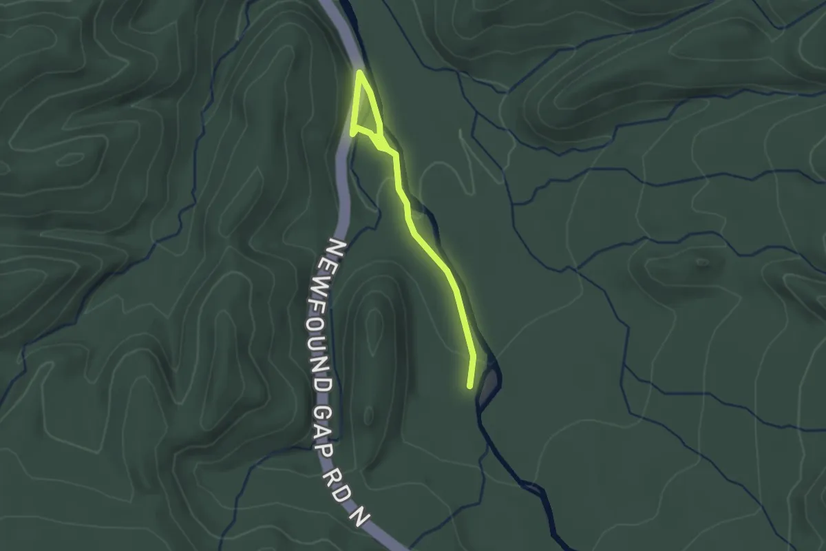
Easy · Trail
Bullhead View Quiet Walkway
2.6 km · ↑ 37 m · 42 min
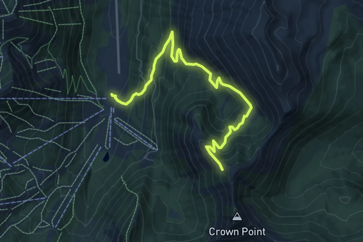
Medium · Trail
Bullion Basin Trail
8.6 km · ↑ 595 m · 3 h 19 min
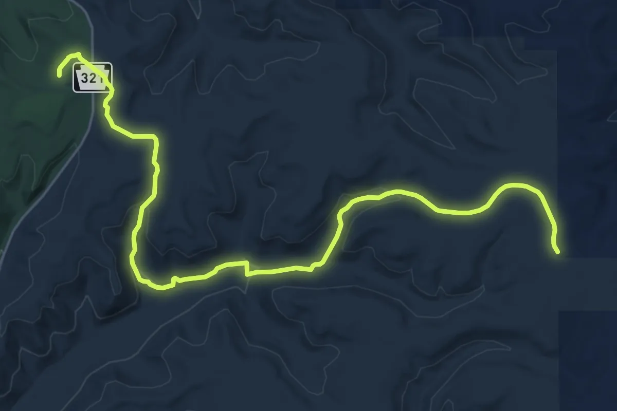
Demanding · Trail
Bullis Hollow Trail
27.0 km · ↑ 457 m · 7 h 22 min
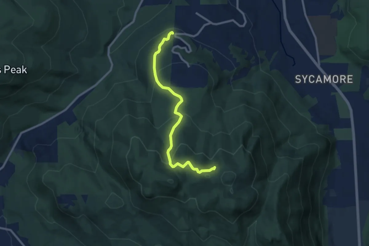
Medium · Trail
Bullit Fireplace Trail
6.4 km · ↑ 412 m · 2 h 24 min
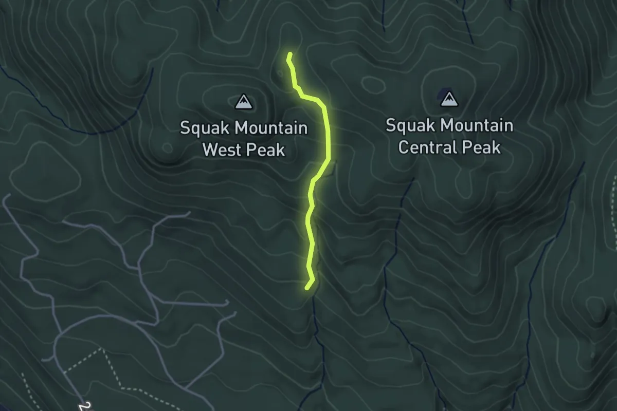
Easy · Trail
Bullit Gorge Trail
2.1 km · ↑ 145 m · 49 min
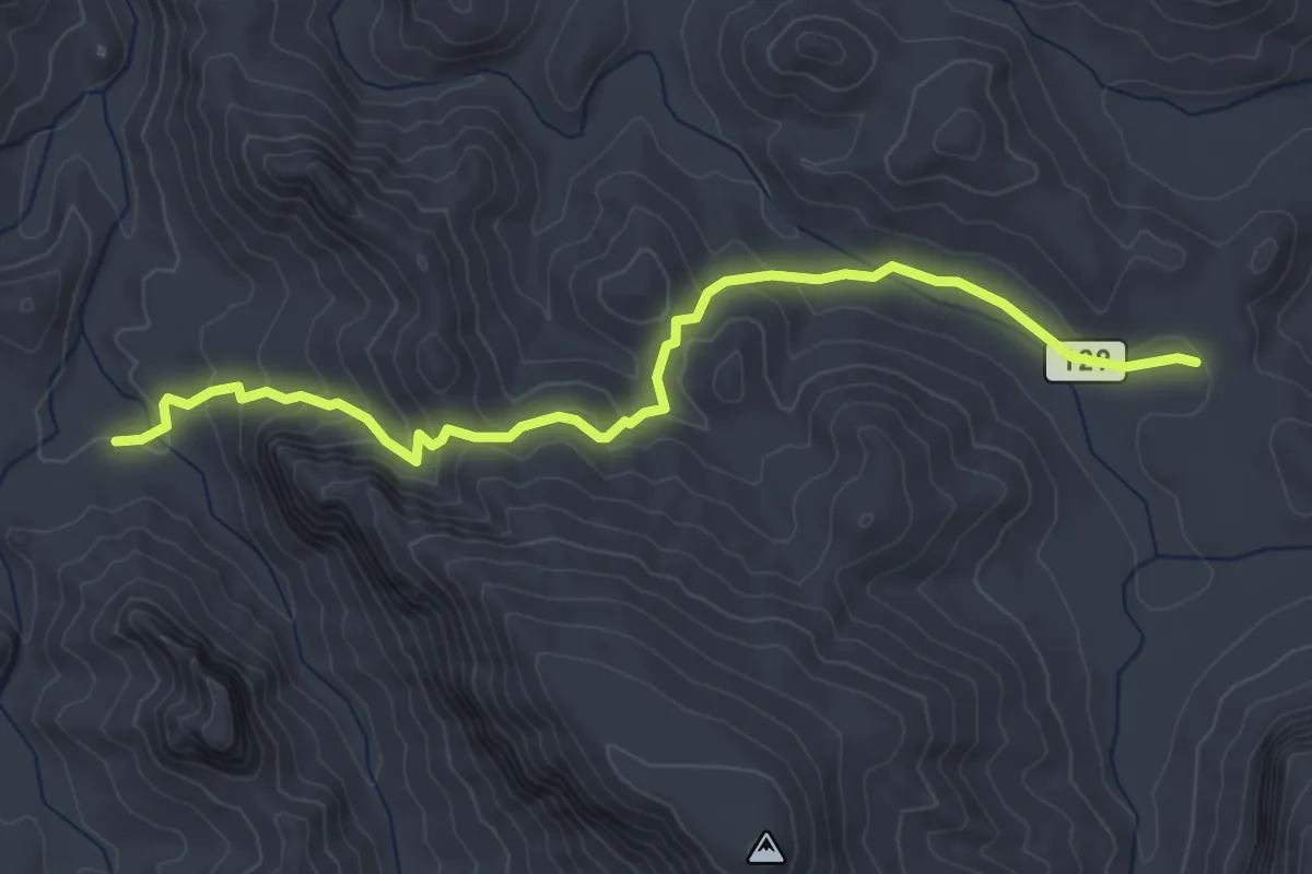
Medium · Trail
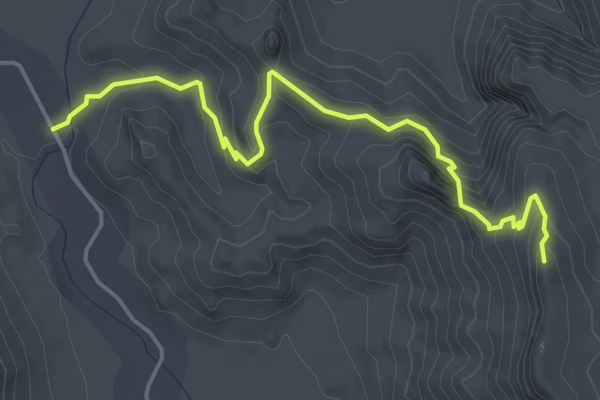
Bull Pass Trail
4.9 km · ↑ 253 m · 1 h 43 min
Medium · Trail
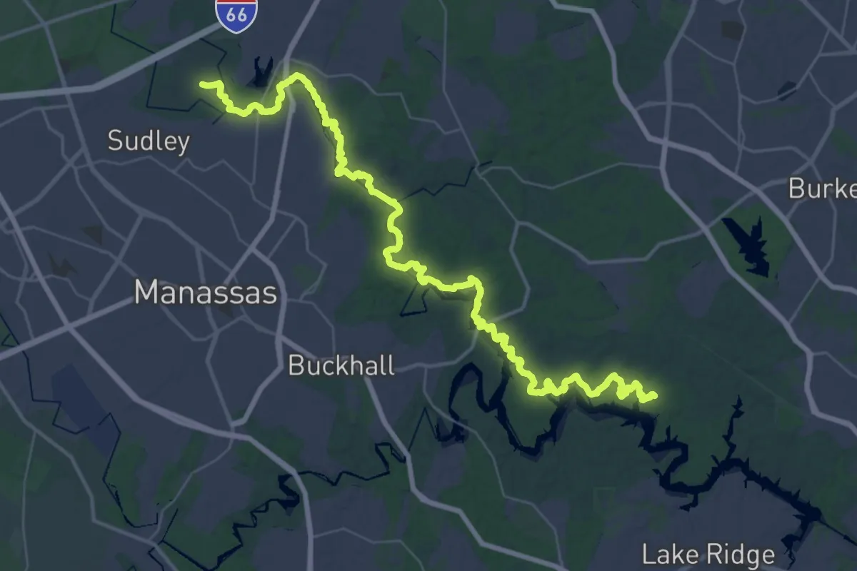
Bull Pasture Trail
4.7 km · ↑ 318 m · 1 h 48 min
Demanding · Trail
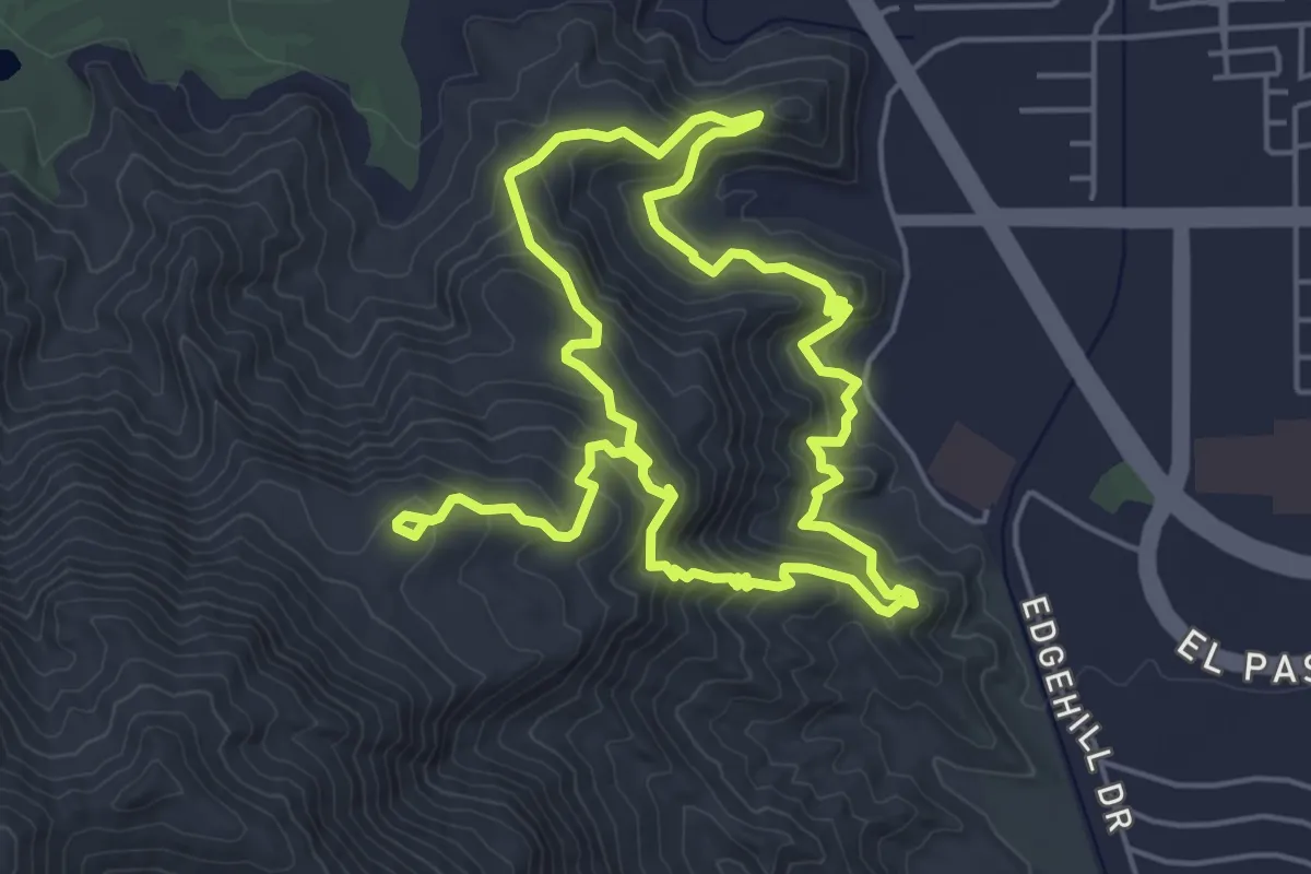
Bull Run Occoquan Trail
28.7 km · ↑ 460 m · 8 h 11 min
Medium · Trail
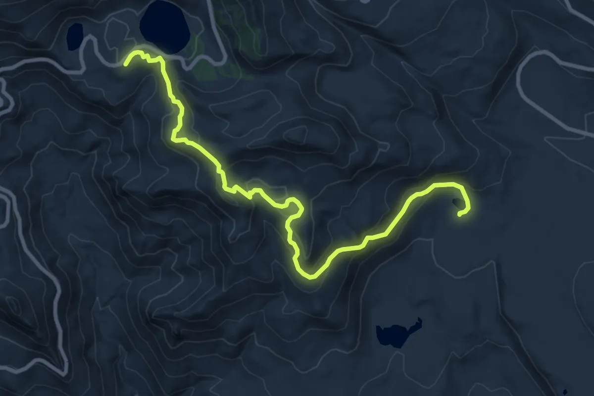
Bump and Grind Trail
11.3 km · ↑ 601 m · 3 h 58 min
Medium · Trail
Bumpass Hell Trail
9.8 km · ↑ 396 m · 3 h 11 min
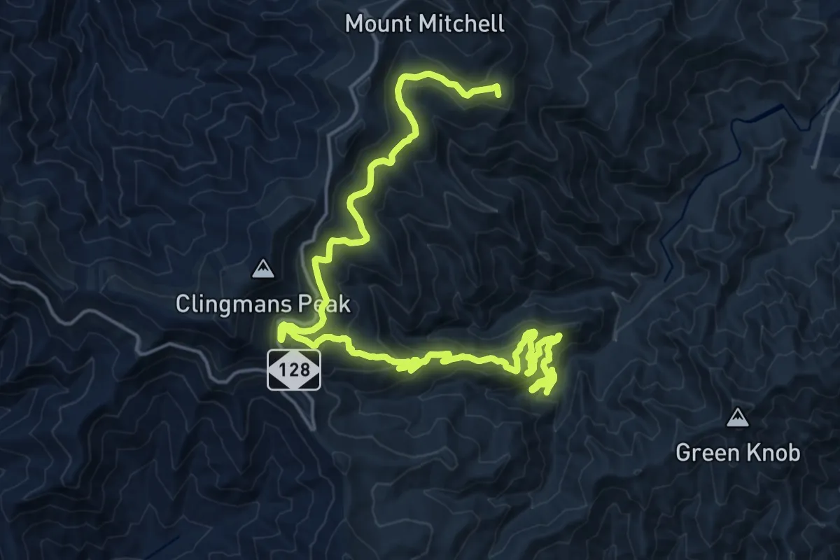
Demanding · Summit
Buncombe Horse Range Trail
27.3 km · ↑ 764 m · 8 h 6 min
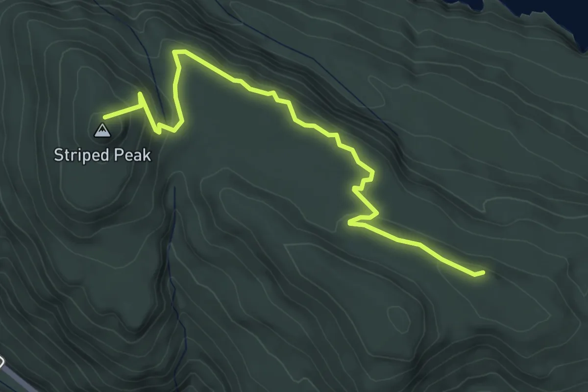
Easy · Summit
Bunker Ridge Trail
5.0 km · ↑ 201 m · 1 h 37 min
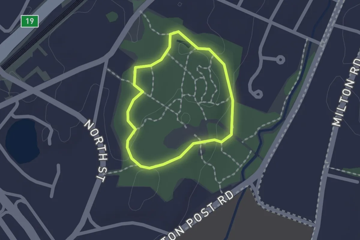
Easy · Trail
Bunny Trail
1.2 km · ↑ 17 m · 21 min
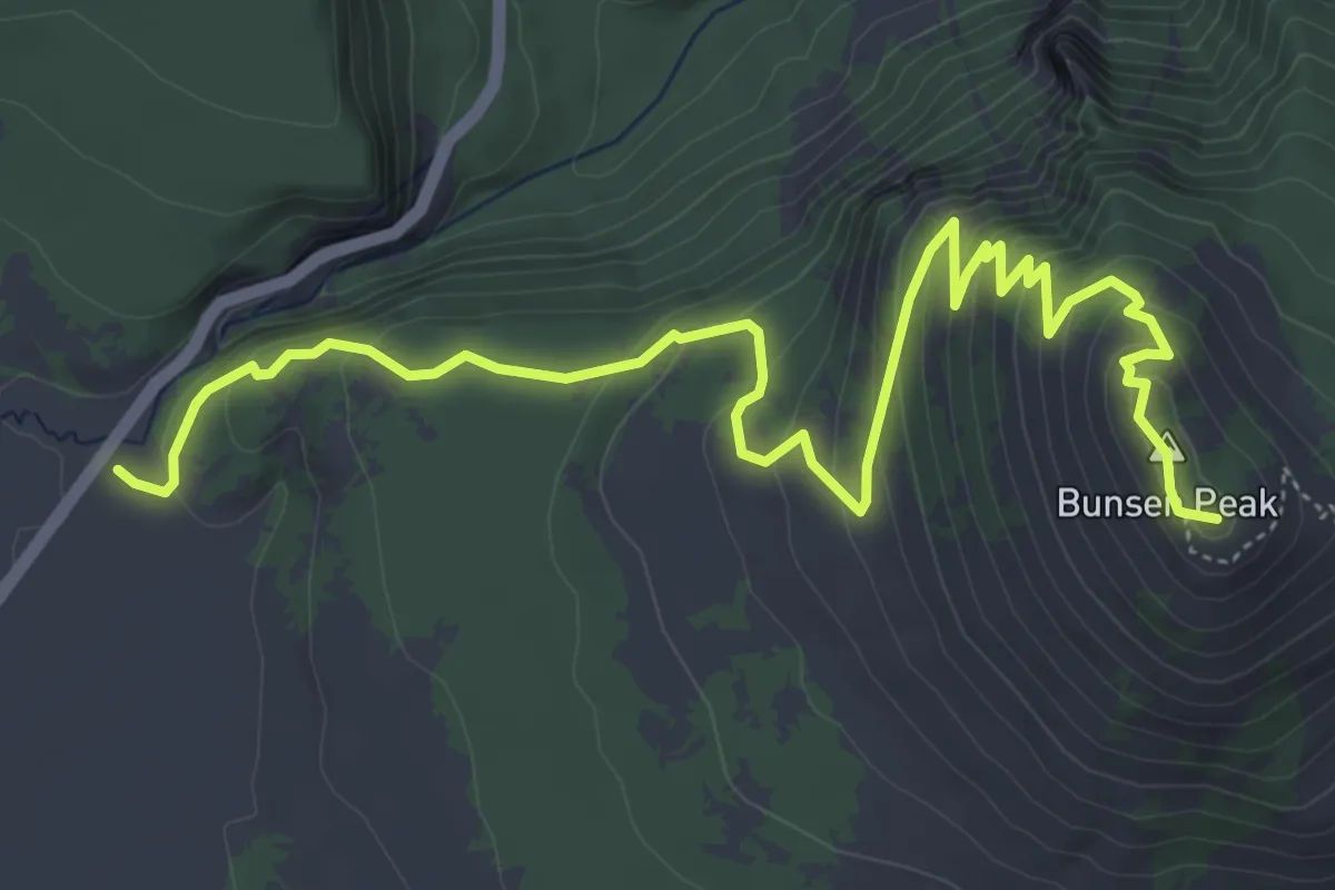
Medium · Summit
Bunsen Peak Trail
7.0 km · ↑ 400 m · 2 h 31 min
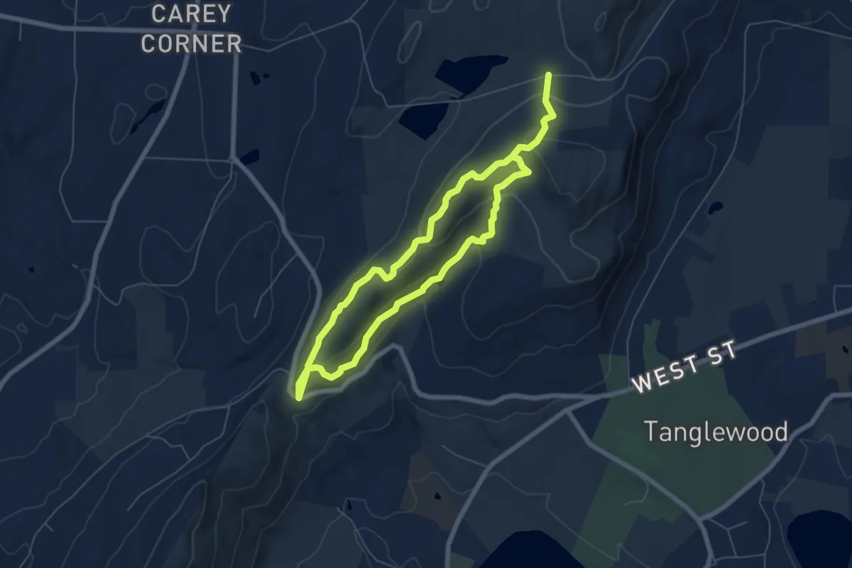
Medium · Trail
Burbank Trail
11.3 km · ↑ 460 m · 3 h 40 min
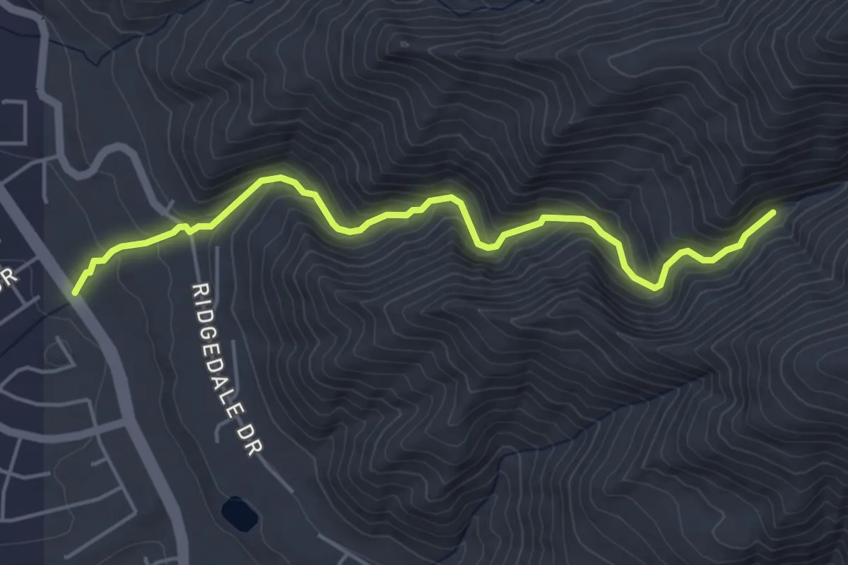
Medium · Trail
Burch Creek Trail
5.2 km · ↑ 371 m · 2 h 1 min
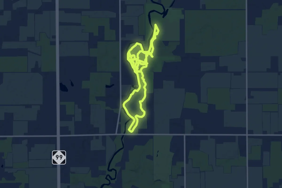
Demanding · Trail
Burchfield Hiking Trail
23.3 km · ↑ 67 m · 5 h 39 min
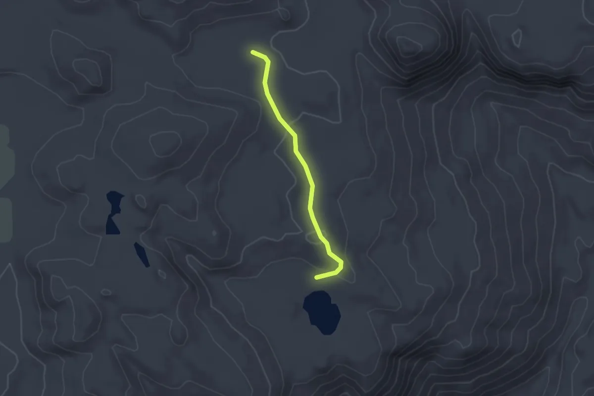
Easy · Trail
Burgson Lake Trail
2.0 km · ↑ 55 m · 36 min
Easy · Trail
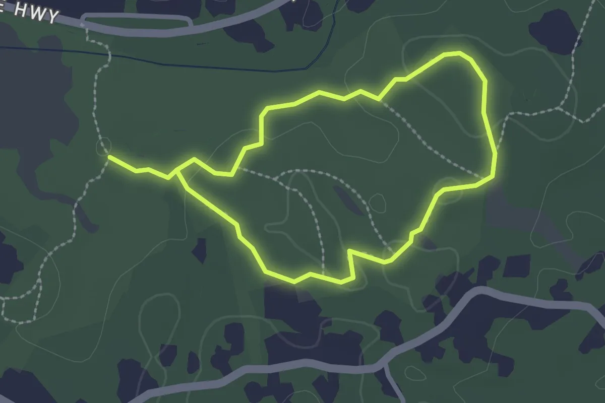
Burlingame Loop Trail
2.2 km · ↑ 21 m · 36 min
Easy · Summit
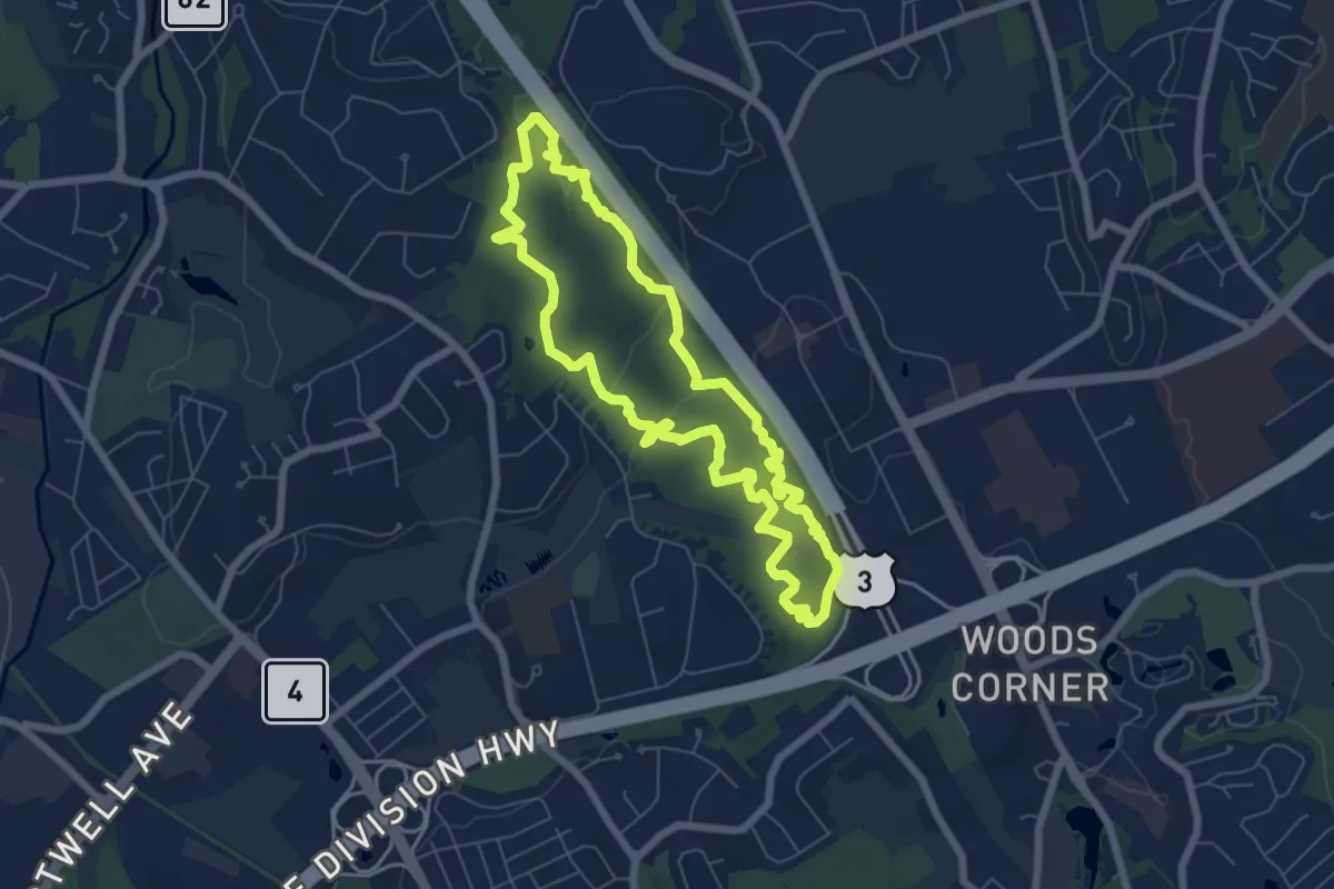
Burlington Landlocked Forest Yellow Loop
6.9 km · ↑ 111 m · 1 h 57 min
Easy · Summit
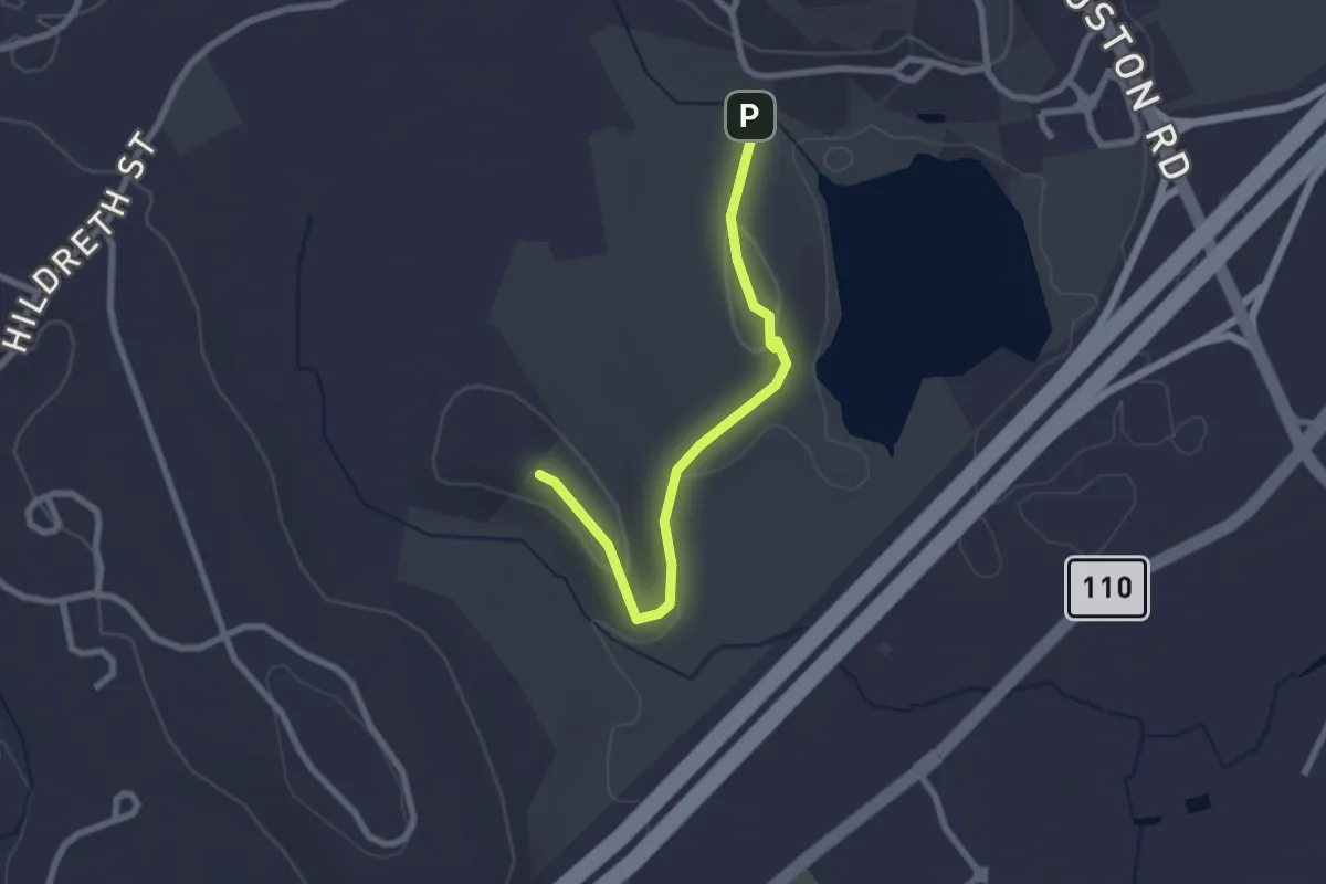
Burns Hill Loop Trail
2.6 km · ↑ 78 m · 46 min
Easy · Trail
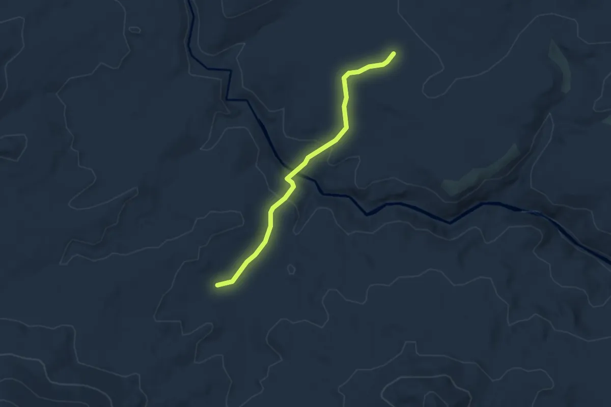
Burnt Corral Meadow Trail
4.2 km · ↑ 117 m · 1 h 15 min
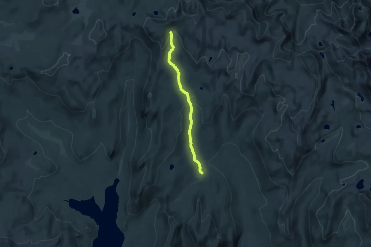
Medium · Trail
Burnt Corral Trail
15.7 km · ↑ 386 m · 4 h 33 min
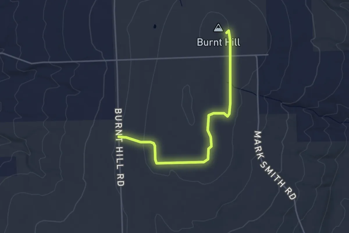
Easy · Summit
Burnt Hill Trail
4.1 km · ↑ 44 m · 1 h 3 min
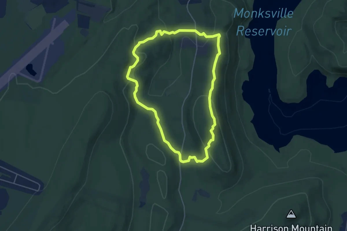
Easy · Summit
Burnt Meadow Trail
4.5 km · ↑ 171 m · 1 h 30 min
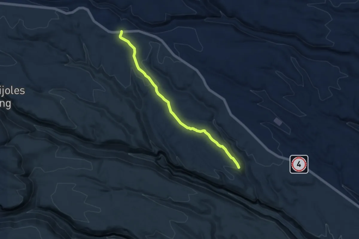
Medium · Trail
Burnt Mesa Trail
8.7 km · ↑ 137 m · 2 h 21 min
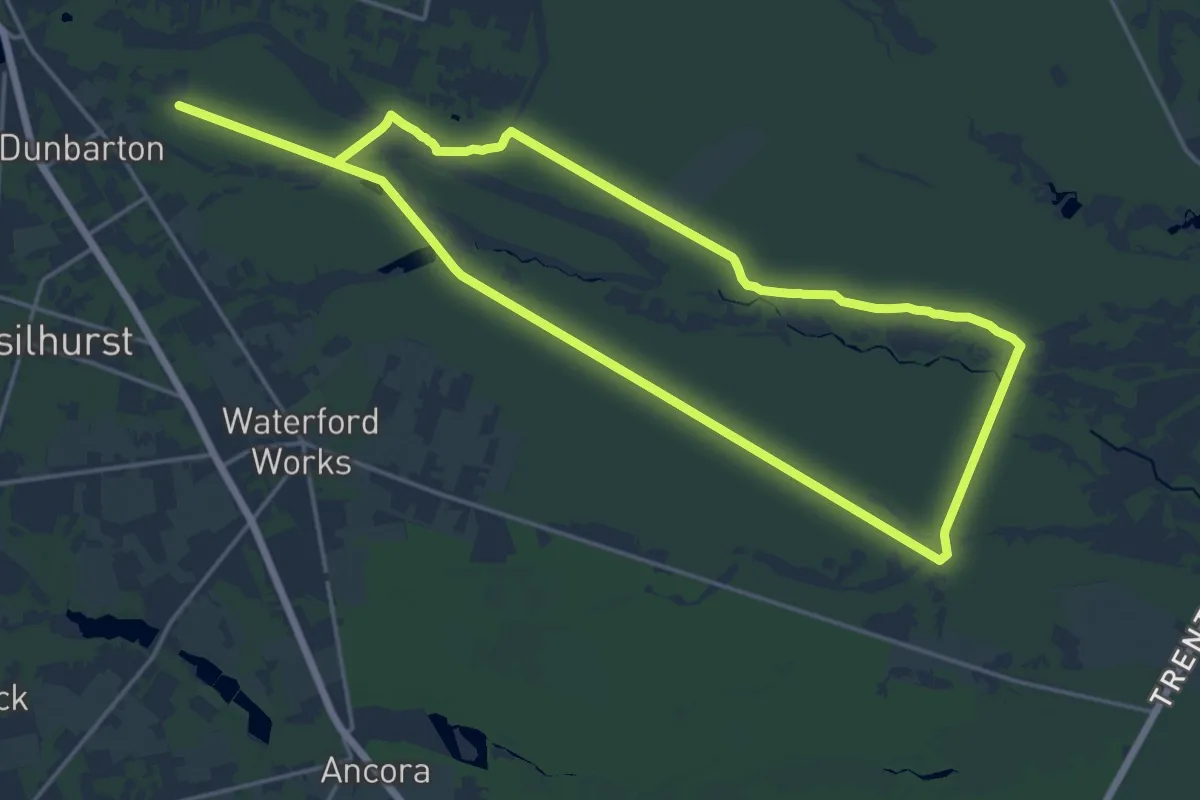
Demanding · Trail
Burnt Mill Trail (red)
18.8 km · ↑ 13 m · 4 h 43 min
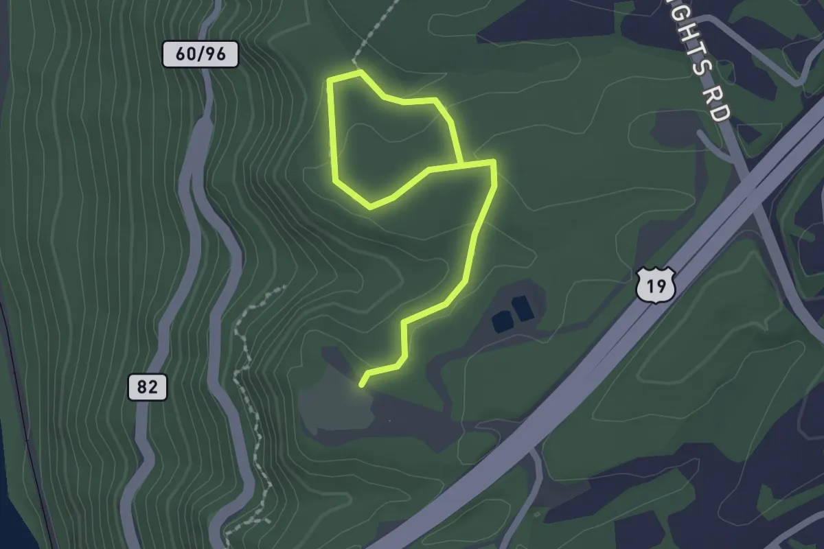
Easy · Trail
Burnwood Trail
2.5 km · ↑ 51 m · 42 min
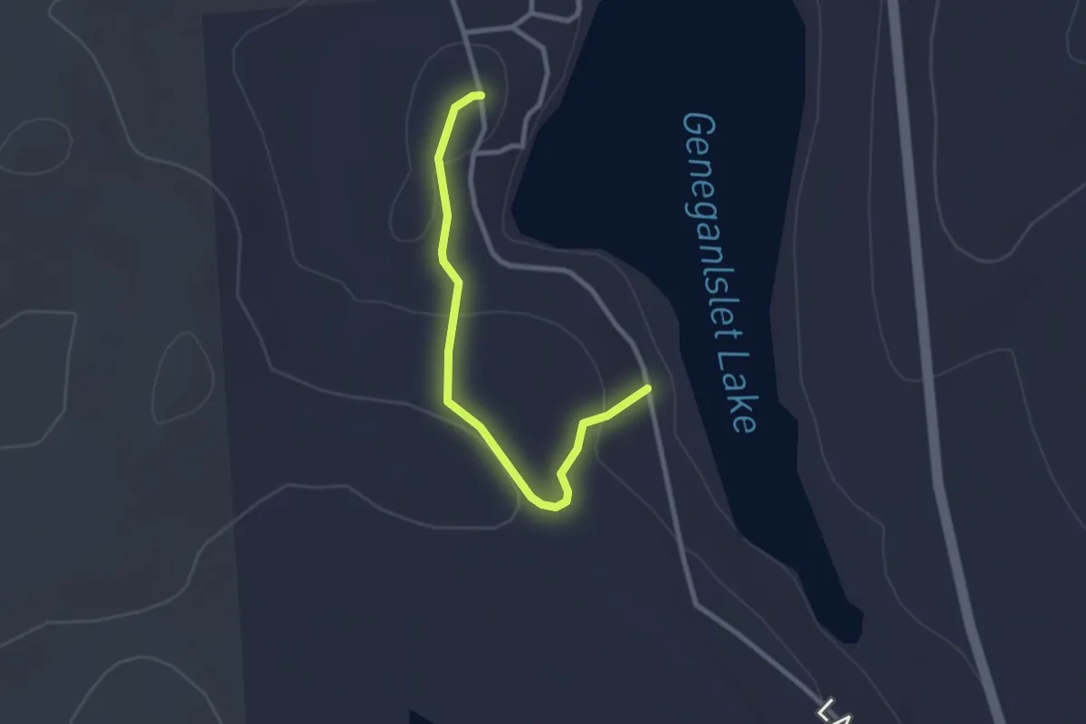
Easy · Trail
Burpee (Orange) Trail
2.8 km · ↑ 65 m · 48 min
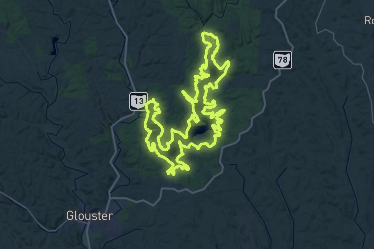
Demanding · Trail
Burr Oak Lakeview Trail
33.7 km · ↑ 540 m · 9 h 35 min