Trails in United States
10,332 hiking trails, each with its route, climb, walking time and grade.
All trails, page 36 of 216
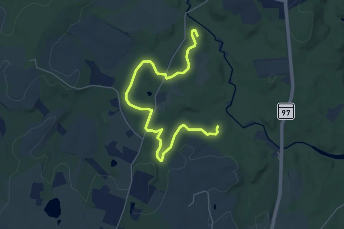
Easy · Trail
Cemetery Trail
6.4 km · ↑ 99 m · 1 h 43 min
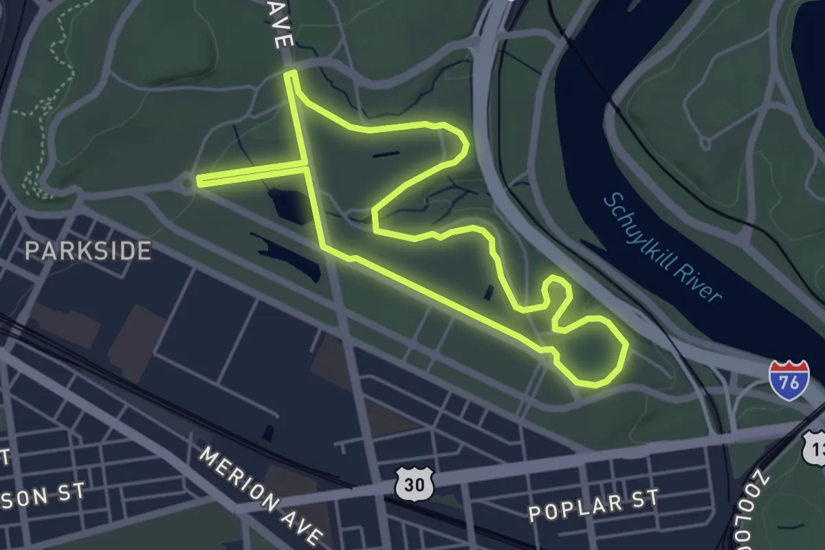
Easy · Trail
Centennial Loop
5.1 km · ↑ 13 m · 1 h 18 min
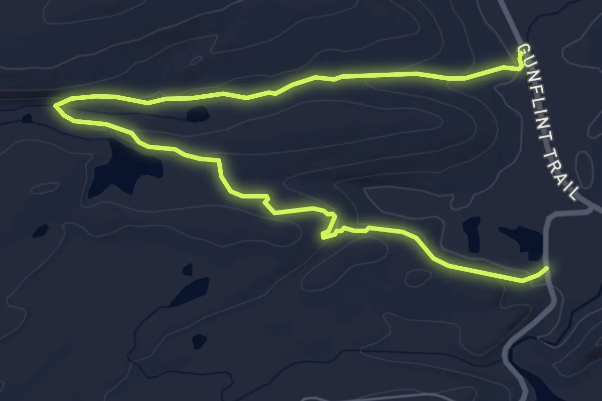
Medium · Trail
Centennial Trail
8.6 km · ↑ 187 m · 2 h 26 min
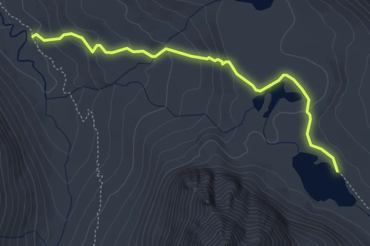
Easy · Trail
Center Basin Trail
5.3 km · ↑ 217 m · 1 h 43 min
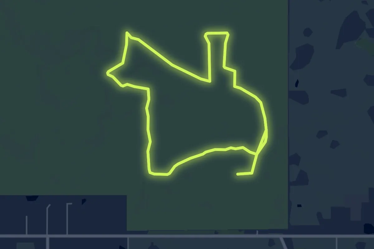
Medium · Trail
Central Loops
13.3 km · ↑ 0 m · 3 h 9 min
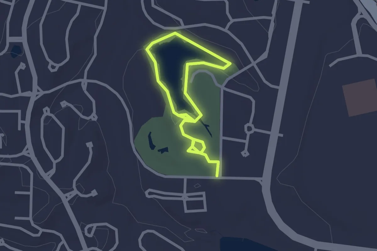
Easy · Trail
Central Park Trail
3.6 km · ↑ 20 m · 54 min
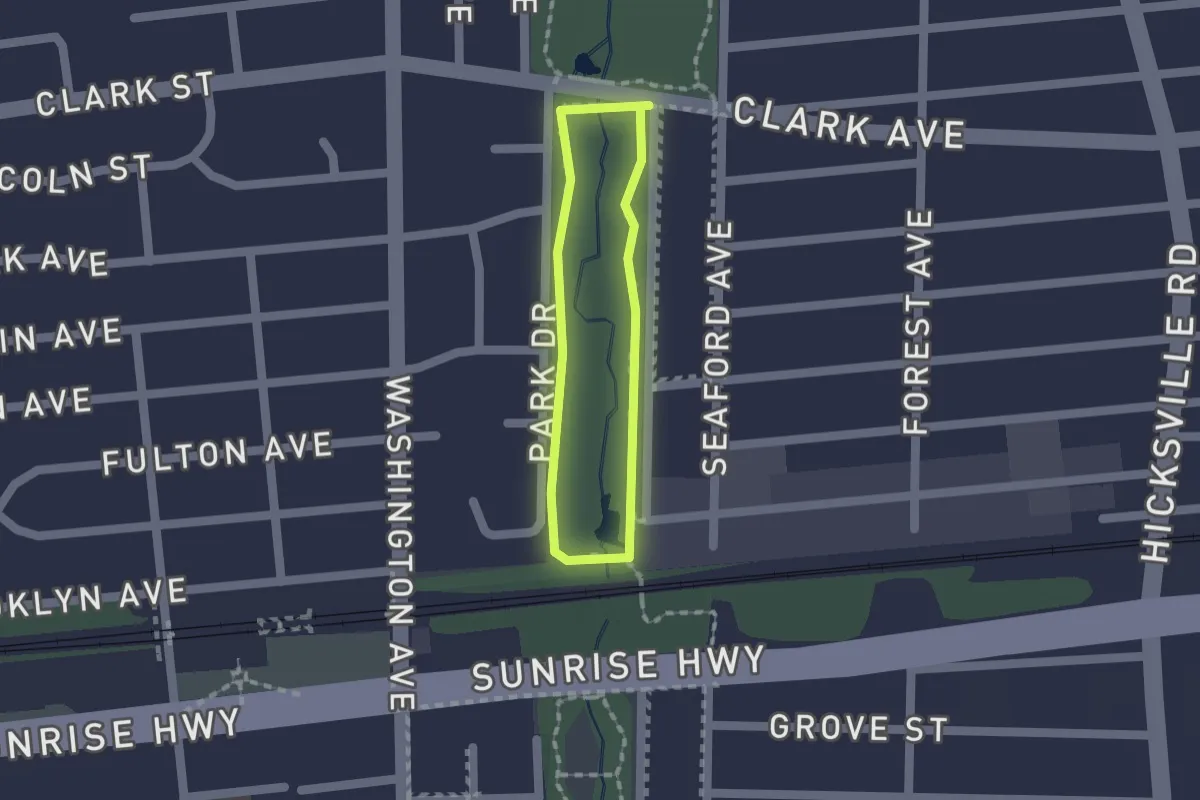
Easy · Trail
Central Section
1.2 km · ↑ 0 m · 18 min
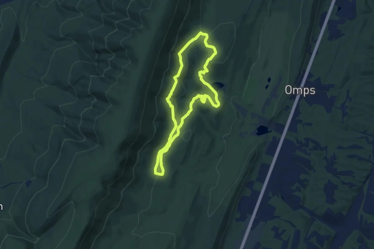
Easy · Trail
Central Trail Loop
7.4 km · ↑ 209 m · 2 h 18 min
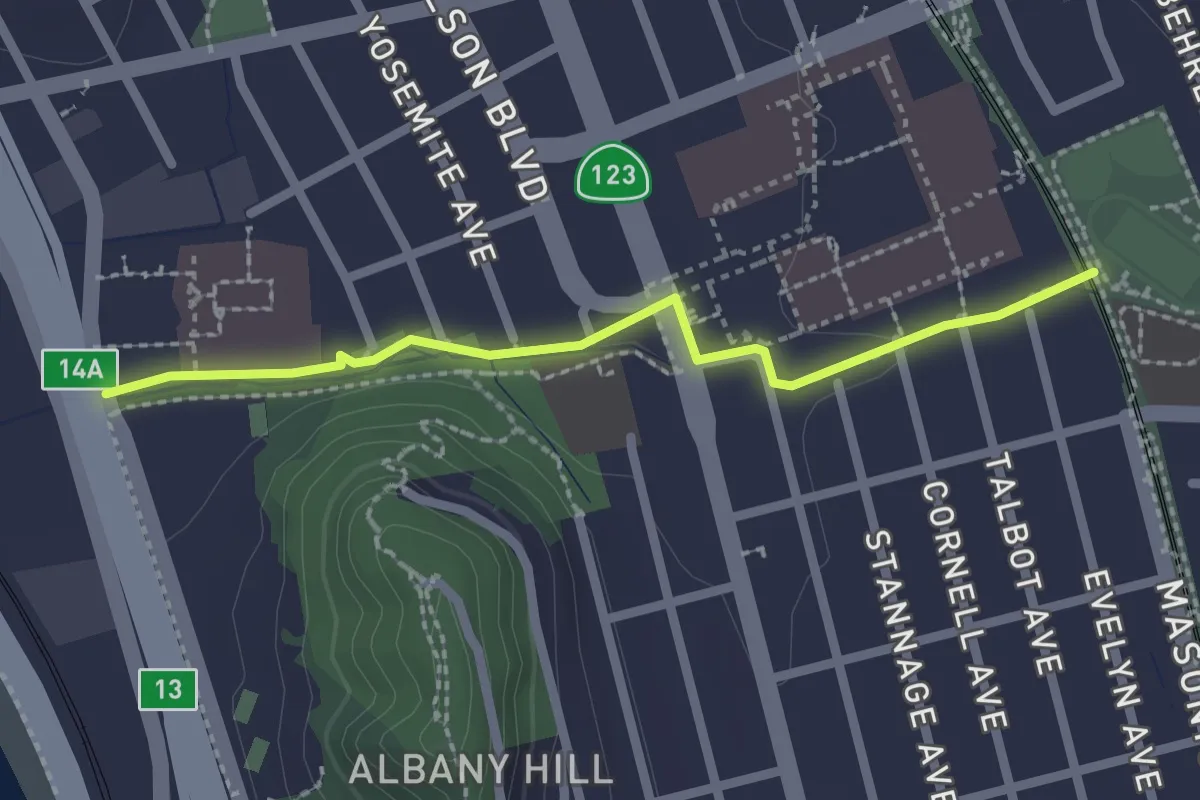
Easy · Trail
Cerrito Creek Trail
2.5 km · ↑ 13 m · 37 min
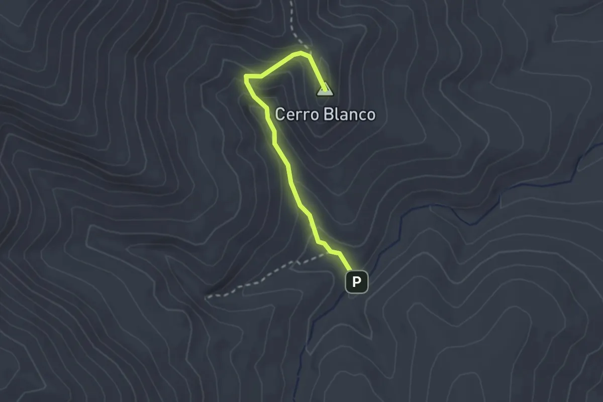
Medium · Summit
Cerro Blanco Trail
2.5 km · ↑ 169 m · 58 min
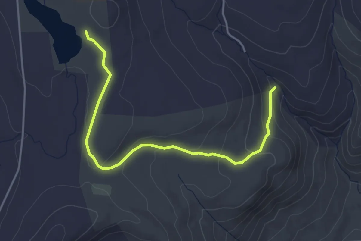
Easy · Trail
Cerulean Warbler Loop
4.5 km · ↑ 133 m · 1 h 21 min
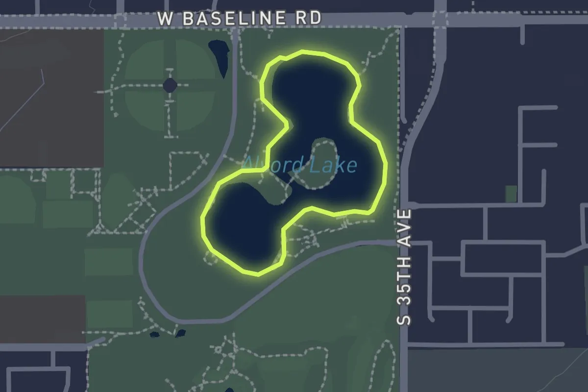
Easy · Trail
Cesar Chavez Park Walking Path
1.8 km · ↑ 0 m · 27 min
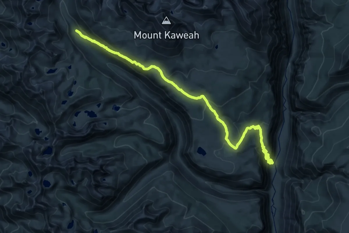
Demanding · Trail
Chagoopa Plateau Trail
18.8 km · ↑ 420 m · 6 h 2 min
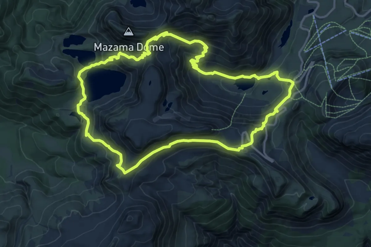
Medium · Trail
Chain Lakes Loop Trail
9.6 km · ↑ 568 m · 3 h 39 min
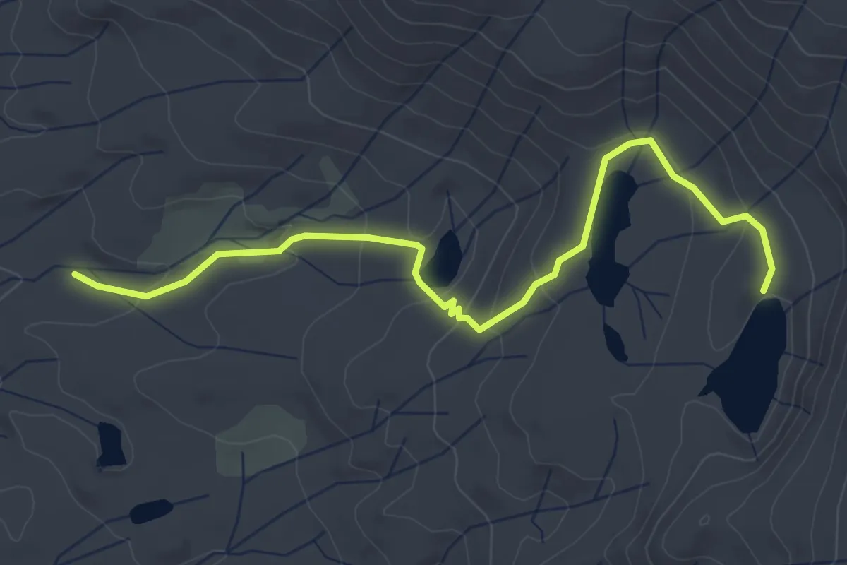
Easy · Trail
Chain Lakes Trail
5.1 km · ↑ 179 m · 1 h 36 min
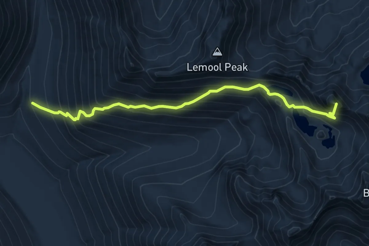
Demanding · Summit
Chain Lakes Trail
7.9 km · ↑ 880 m · 3 h 46 min
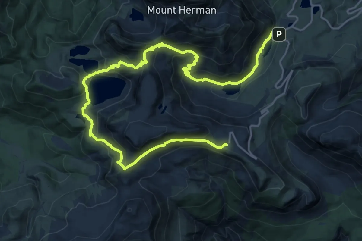
Demanding · Trail
Chain Lakes Trail
17.5 km · ↑ 943 m · 6 h 10 min
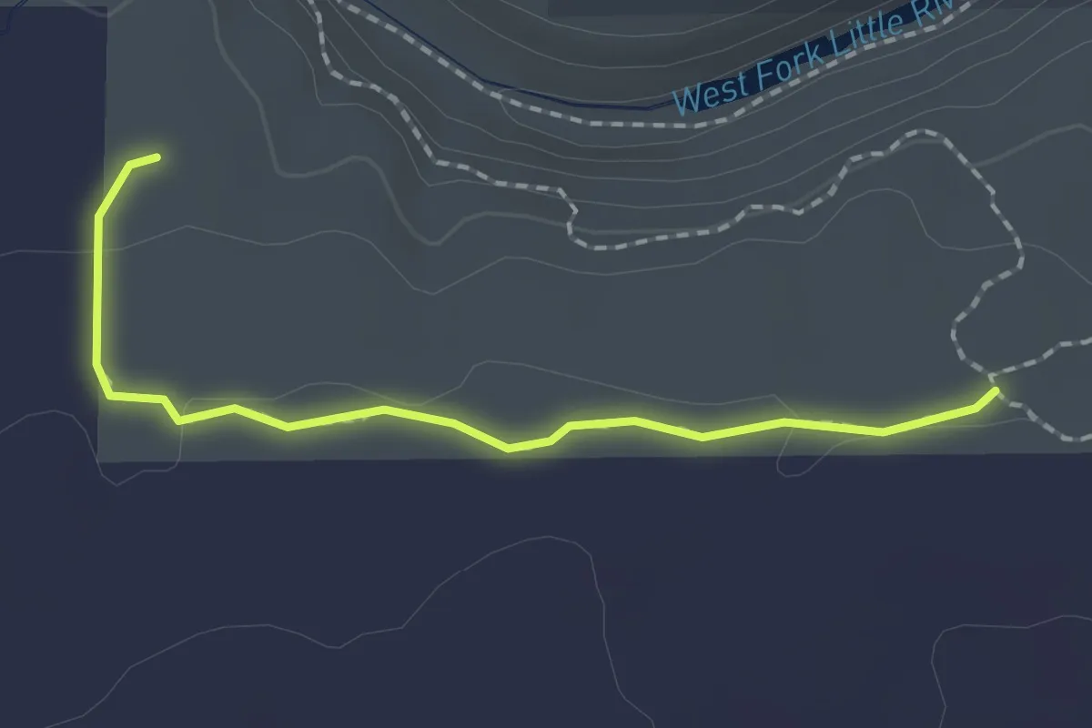
Easy · Trail
Chalet Trail
2.1 km · ↑ 23 m · 33 min
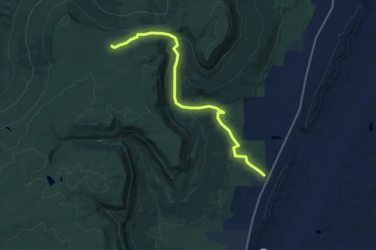
Medium · Trail
Chamberlain Trail
10.2 km · ↑ 435 m · 3 h 21 min
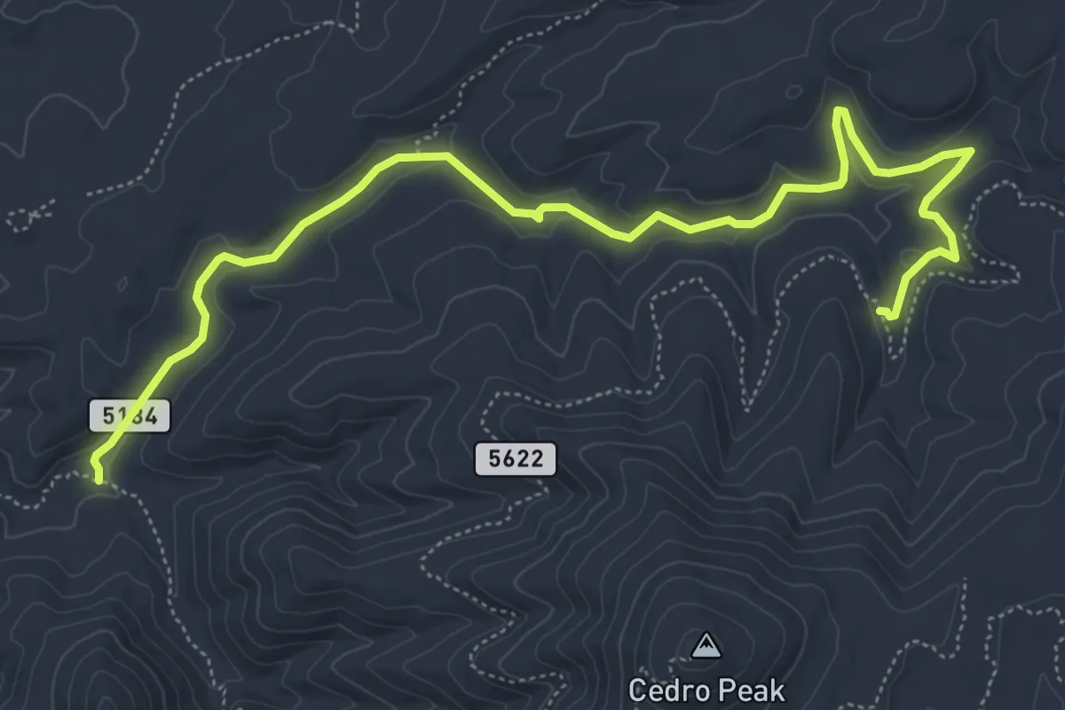
Medium · Trail
Chamisoso Trail
8.5 km · ↑ 151 m · 2 h 20 min
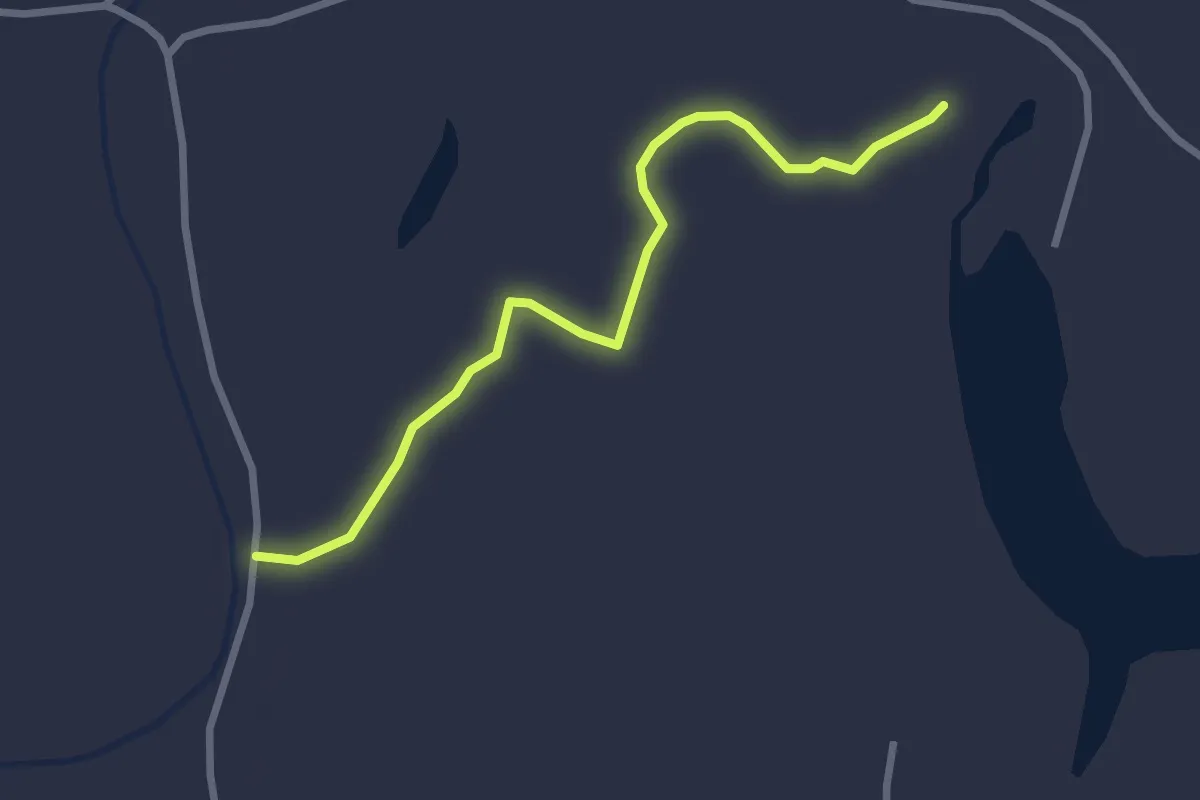
Easy · Trail
Champion Cypress Tree Trail
3.3 km · ↑ 0 m · 47 min
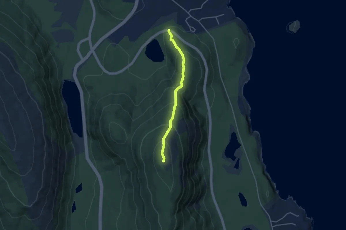
Easy · Summit
Champlain North Ridge Trail
3.0 km · ↑ 265 m · 1 h 18 min
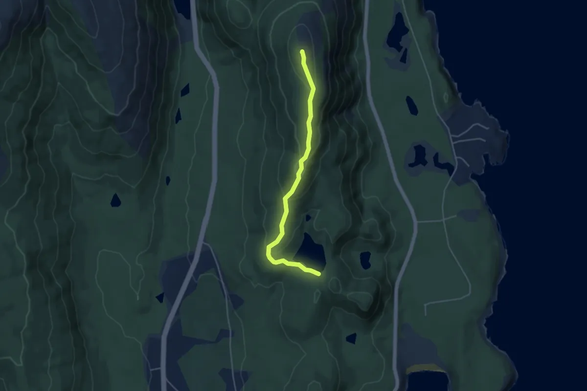
Medium · Summit
Champlain South Ridge Trail
4.2 km · ↑ 193 m · 1 h 25 min
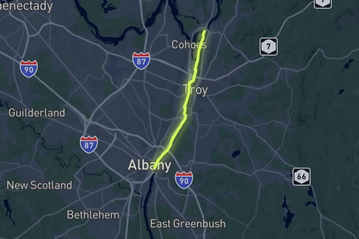
Medium · Trail
Champlain Valley Trail (Albany to Waterford)
17.5 km · ↑ 31 m · 4 h 26 min
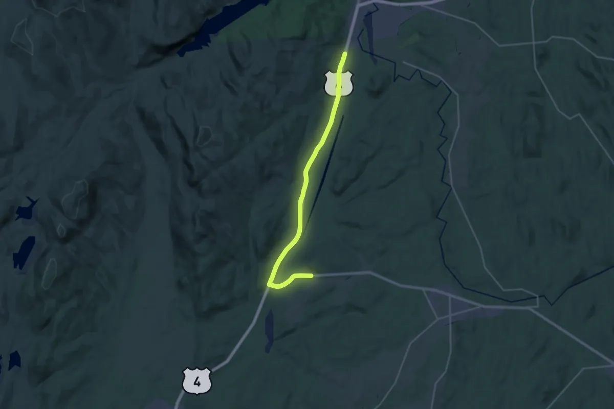
Demanding · Trail
Champlain Valley Trail (Comstock to Whitehall)
21.4 km · ↑ 197 m · 5 h 28 min
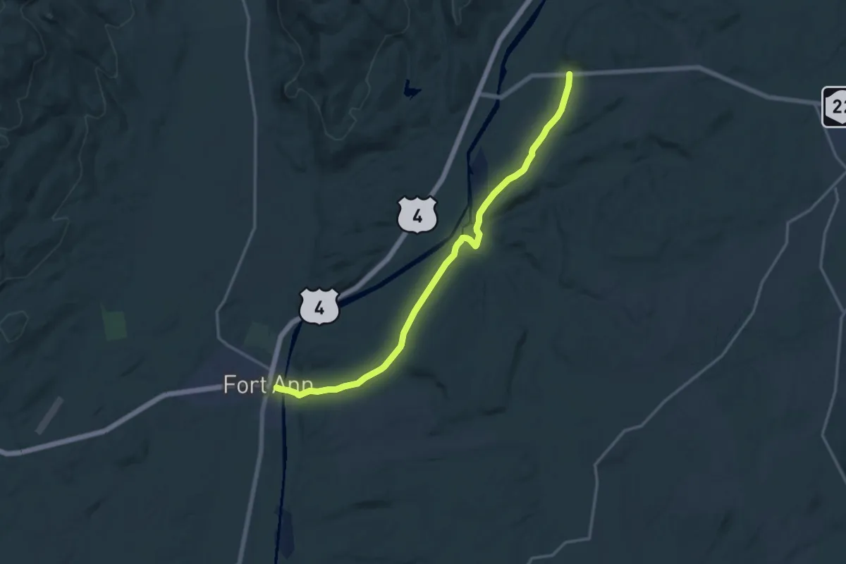
Medium · Trail
Champlain Valley Trail (Fort Ann to Comstock)
16.2 km · ↑ 209 m · 4 h 17 min
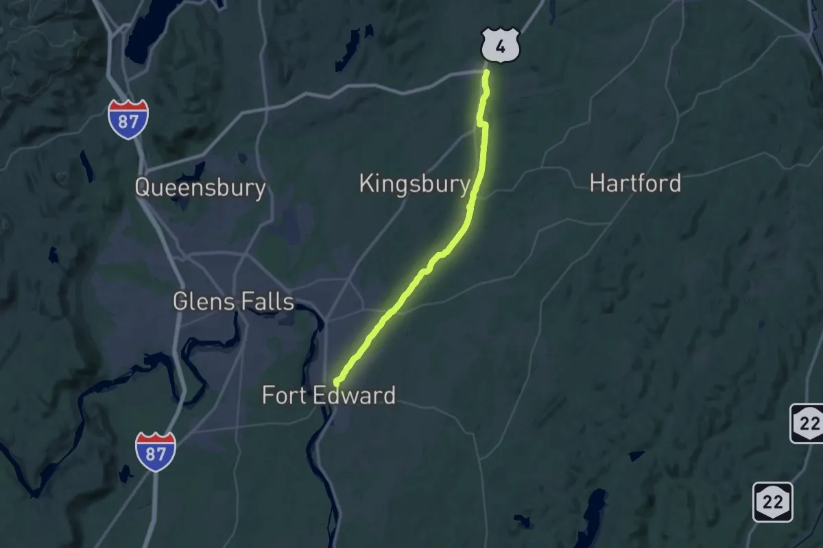
Demanding · Trail
Champlain Valley Trail (Fort Edward to Fort Ann)
19.1 km · ↑ 5 m · 4 h 47 min
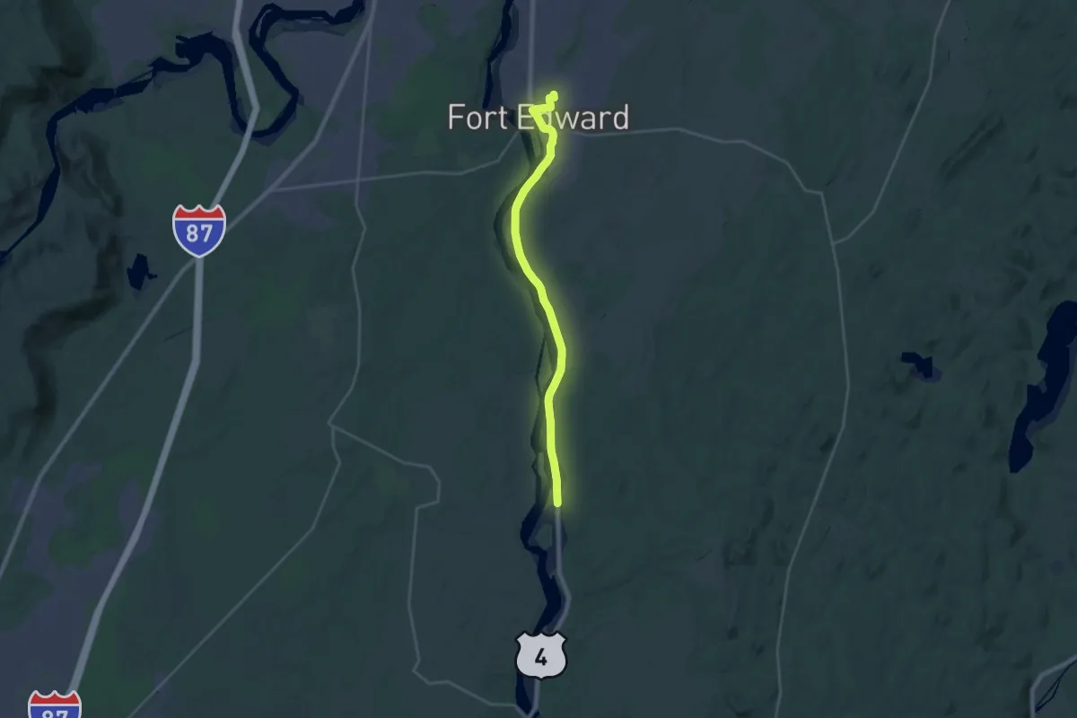
Demanding · Trail
Champlain Valley Trail (Fort Miller to Fort Edward)
23.9 km · ↑ 52 m · 5 h 45 min
Demanding · Trail
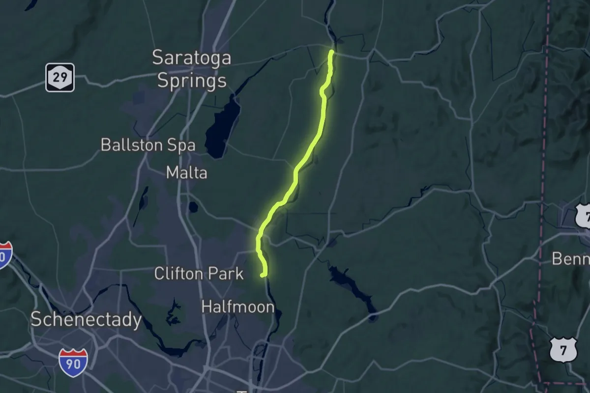
Champlain Valley Trail (Halfmoon to Schuylerville)
30.2 km · ↑ 75 m · 7 h 42 min
Demanding · Trail
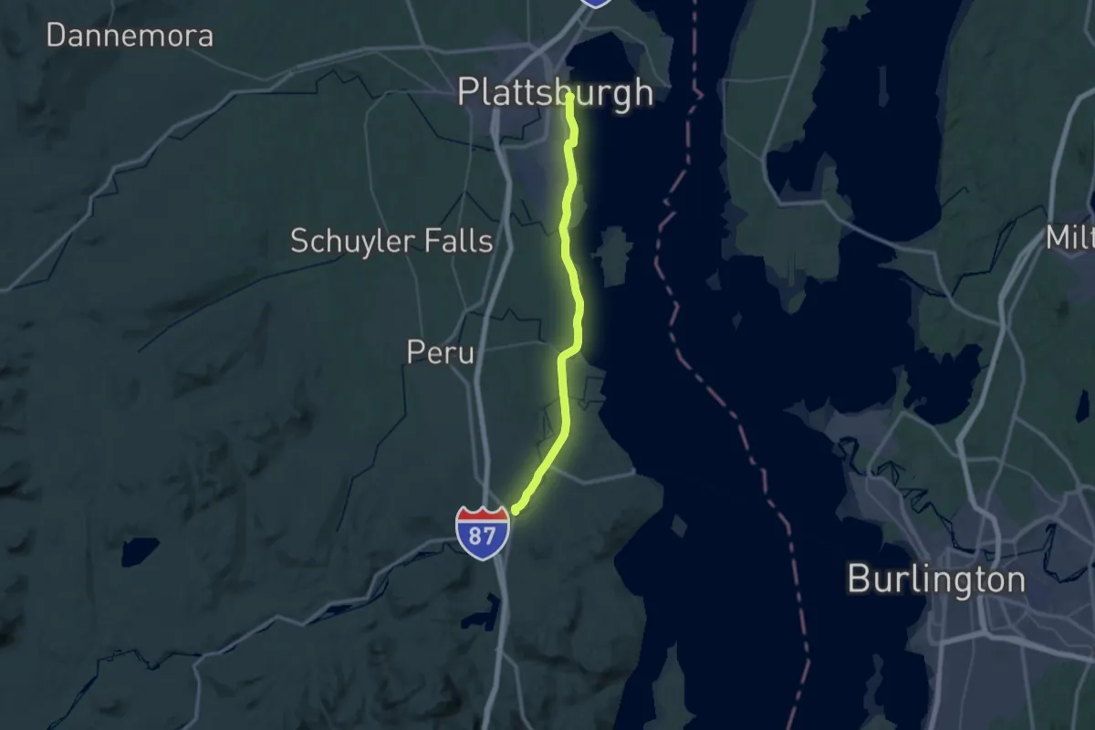
Champlain Valley Trail (Keeseville to Plattsburgh)
22.7 km · ↑ 145 m · 6 h 1 min
Medium · Trail
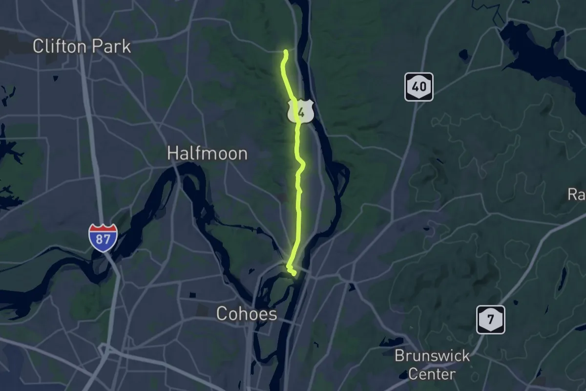
Champlain Valley Trail (Peebles Island State Park to Halfmoon)
17.7 km · ↑ 33 m · 4 h 15 min
Demanding · Trail
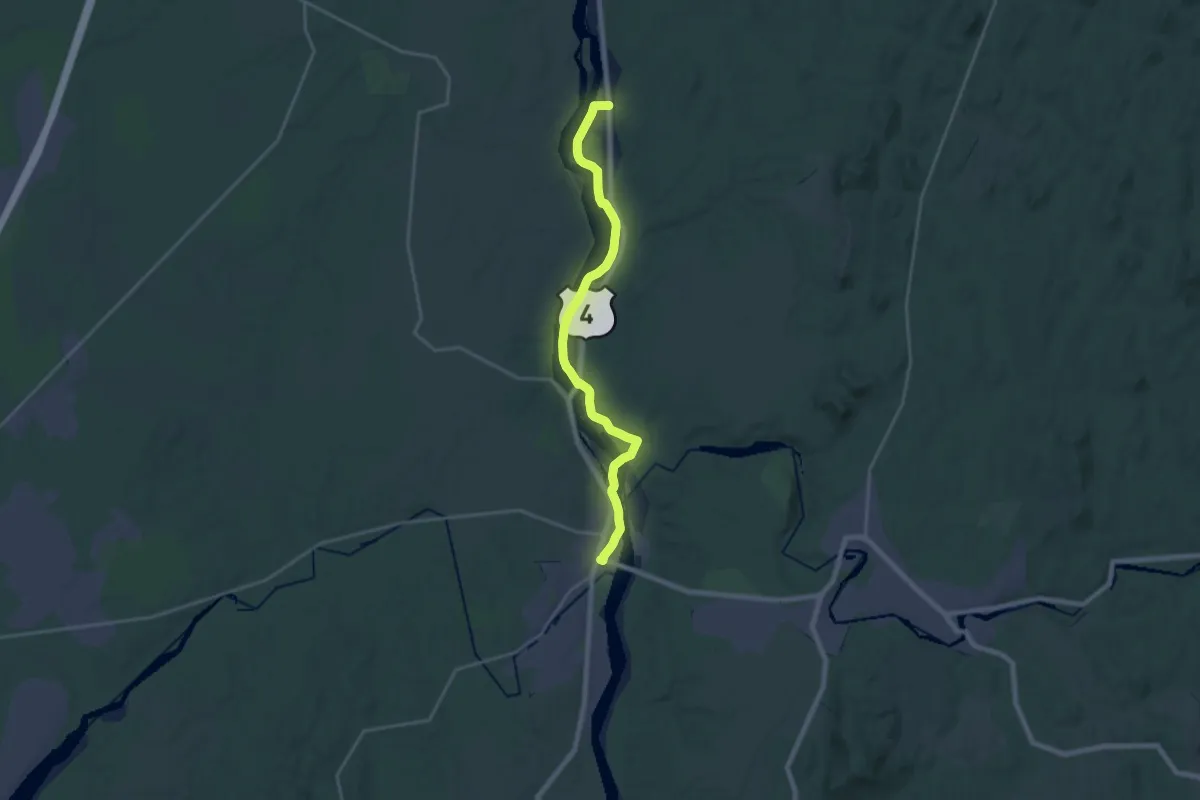
Champlain Valley Trail (Schuylerville to Fort Miller)
21.7 km · ↑ 41 m · 5 h 13 min
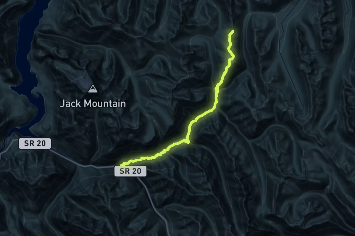
Demanding · Trail
Chancellor/Canyon Creek Trail
24.1 km · ↑ 821 m · 8 h 28 min
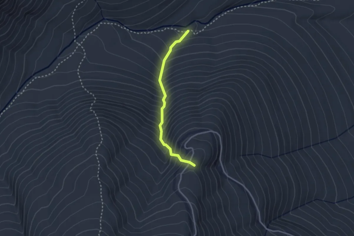
Medium · Summit
Chandler Brook Trail
2.5 km · ↑ 408 m · 1 h 28 min
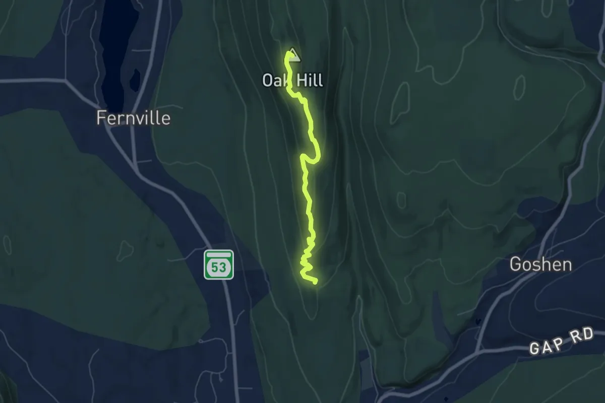
Easy · Summit
Chandler Ridge Trail
5.7 km · ↑ 181 m · 1 h 45 min
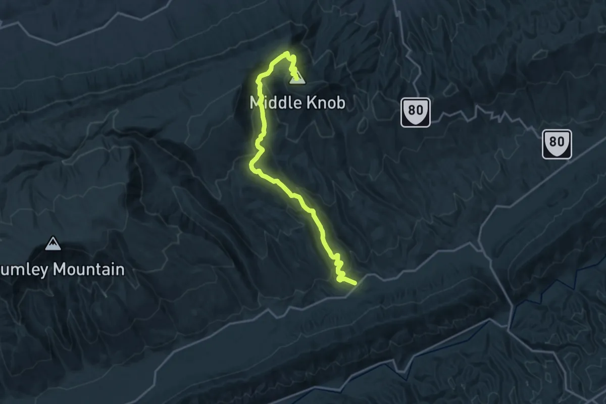
Demanding · Summit
Channels Trail
17.5 km · ↑ 940 m · 6 h 10 min
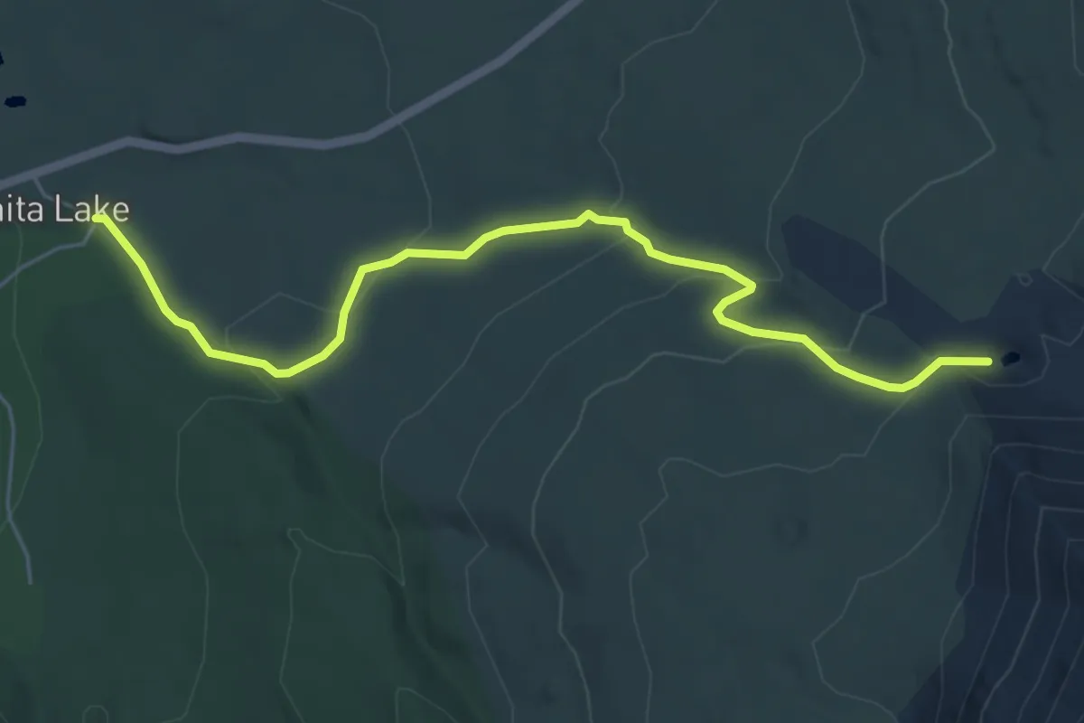
Medium · Trail
Chaos Crags Trail
6.3 km · ↑ 303 m · 2 h 9 min
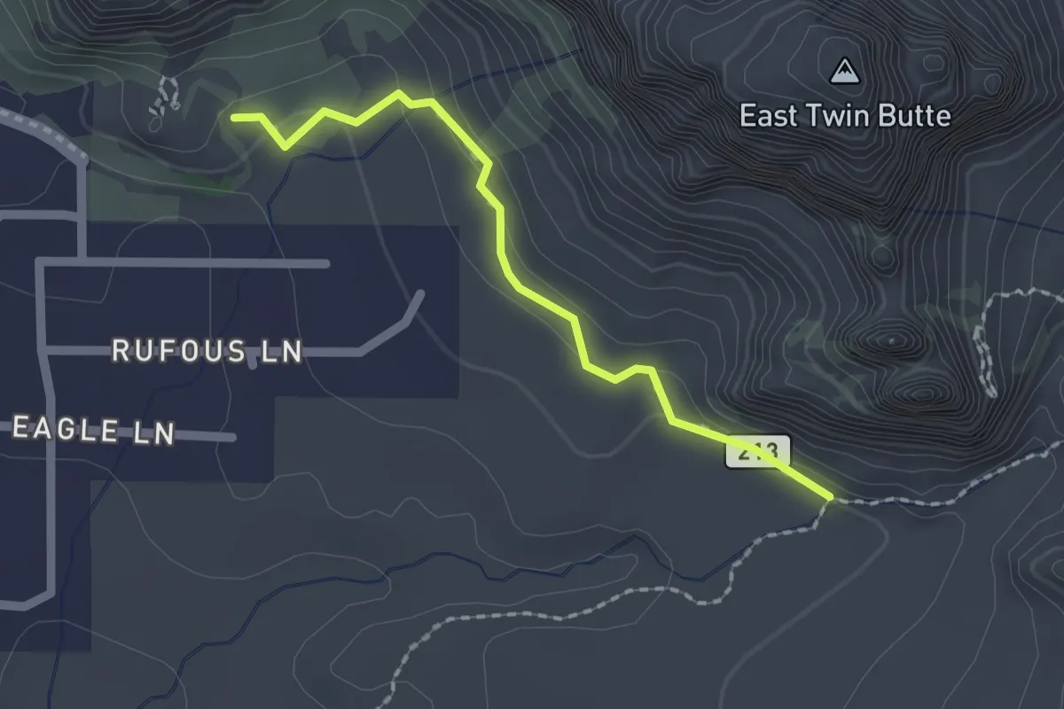
Easy · Trail
Chapel #213
2.1 km · ↑ 74 m · 39 min
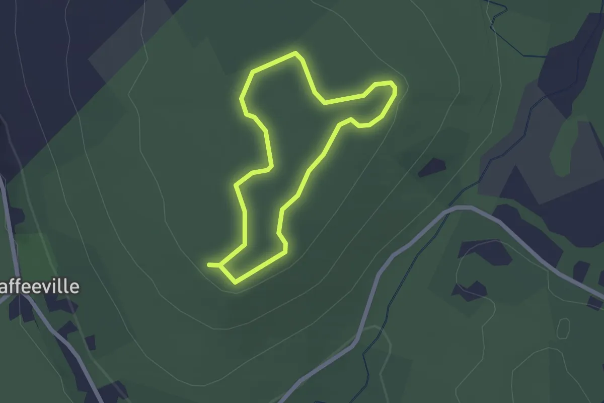
Easy · Trail
Chapin Trail
1.8 km · ↑ 18 m · 29 min
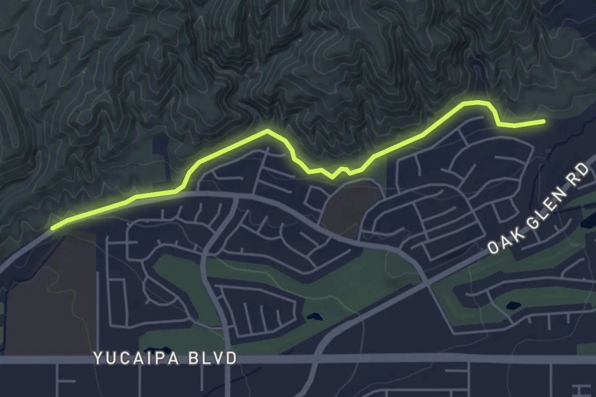
Easy · Trail
Chapman Heights Trail
5.7 km · ↑ 159 m · 1 h 41 min
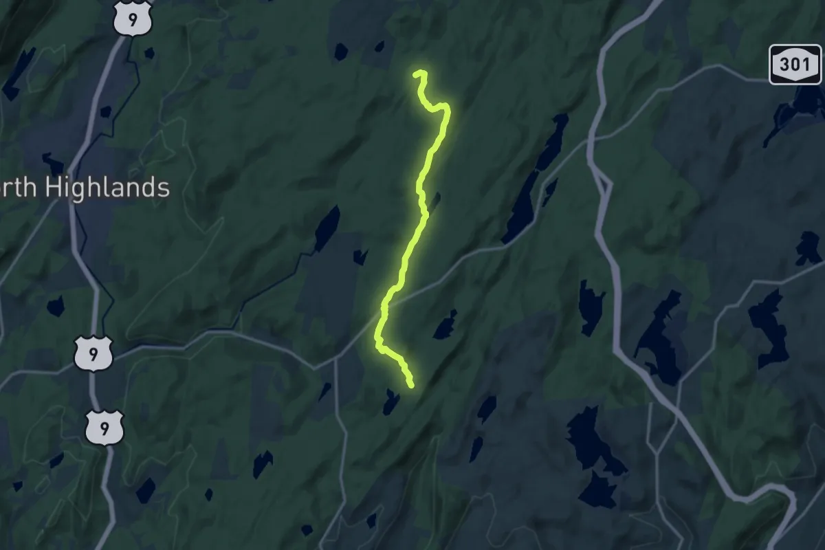
Medium · Trail
Charcoal Burners Trail
12.7 km · ↑ 278 m · 3 h 36 min
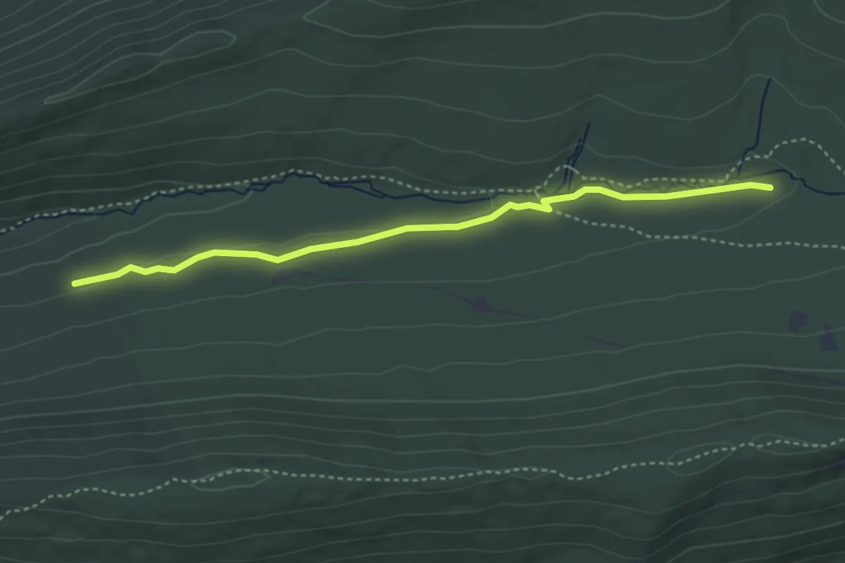
Easy · Trail
Charcoal Flats Trail
4.3 km · ↑ 36 m · 1 h 6 min
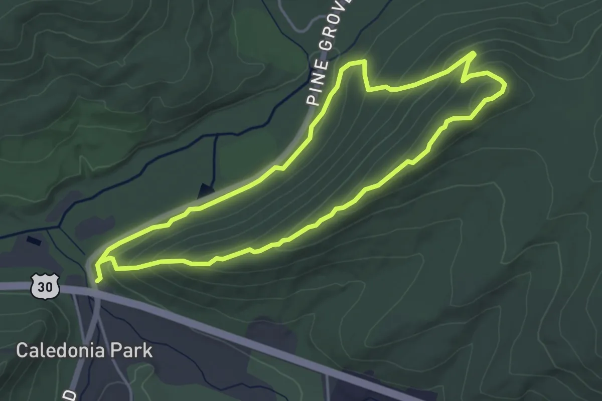
Easy · Summit
Charcoal Hearth Trail
4.4 km · ↑ 183 m · 1 h 29 min
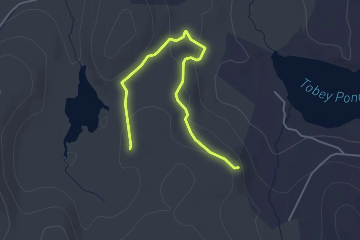
Easy · Trail
Charcoal Pit Trail
4.1 km · ↑ 108 m · 1 h 13 min
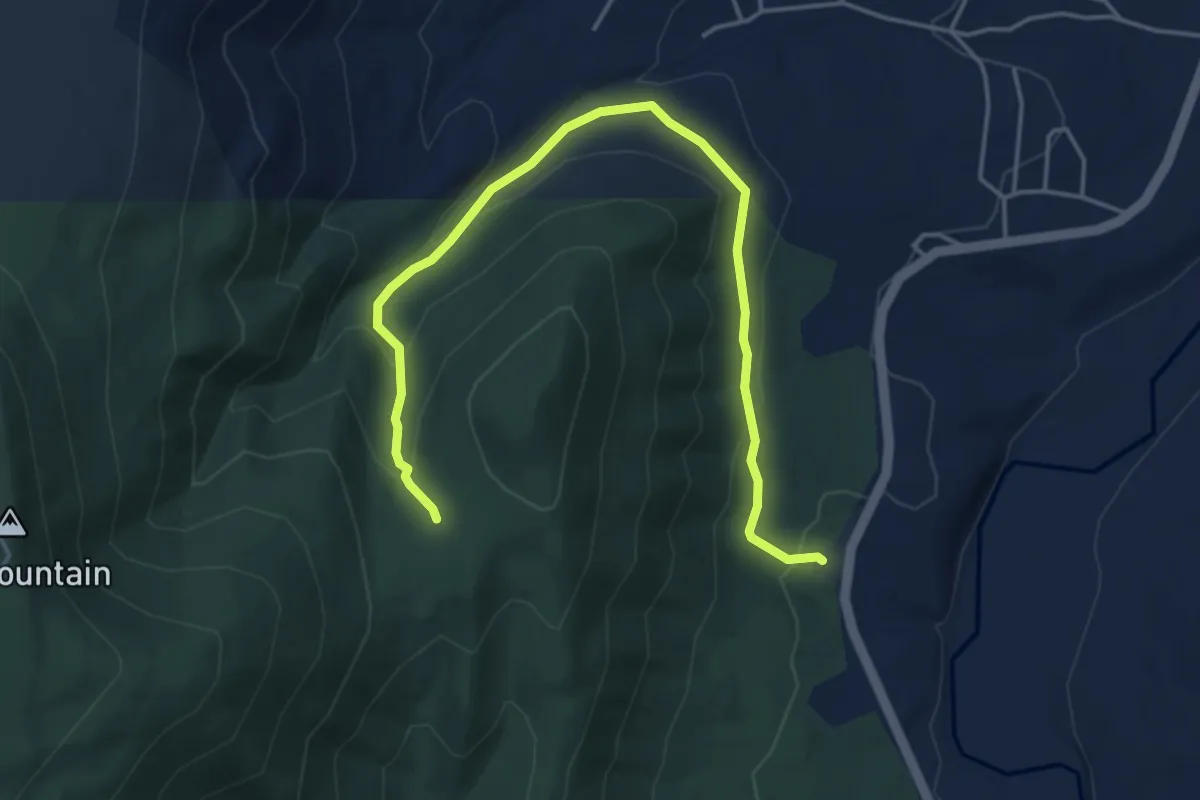
Easy · Trail
Charcoal Trail
5.7 km · ↑ 265 m · 1 h 55 min
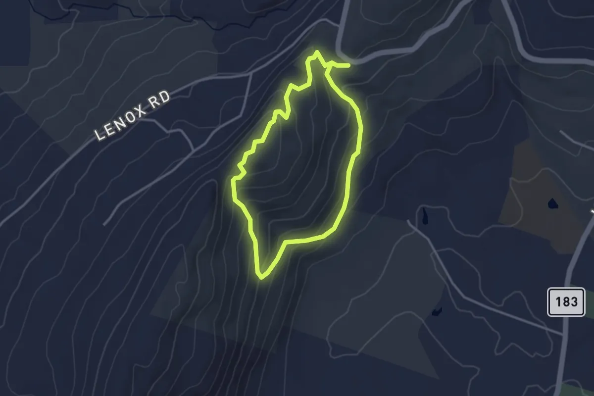
Easy · Trail
Charcol Trail
2.8 km · ↑ 161 m · 1 h 2 min
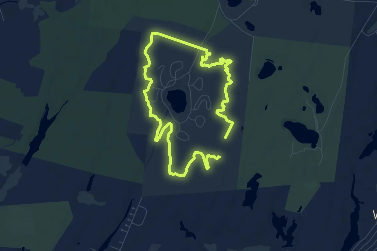
Easy · Trail
Charge Pond Loop
8.0 km · ↑ 14 m · 2 h 2 min
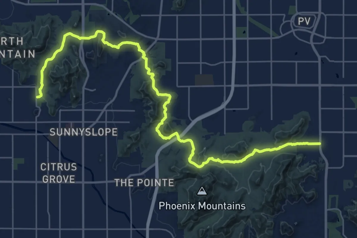
Medium · Trail
Charles M. Christiansen Trail 100
17.5 km · ↑ 301 m · 5 h 3 min