Trails in United States
10,332 hiking trails, each with its route, climb, walking time and grade.
All trails, page 38 of 216
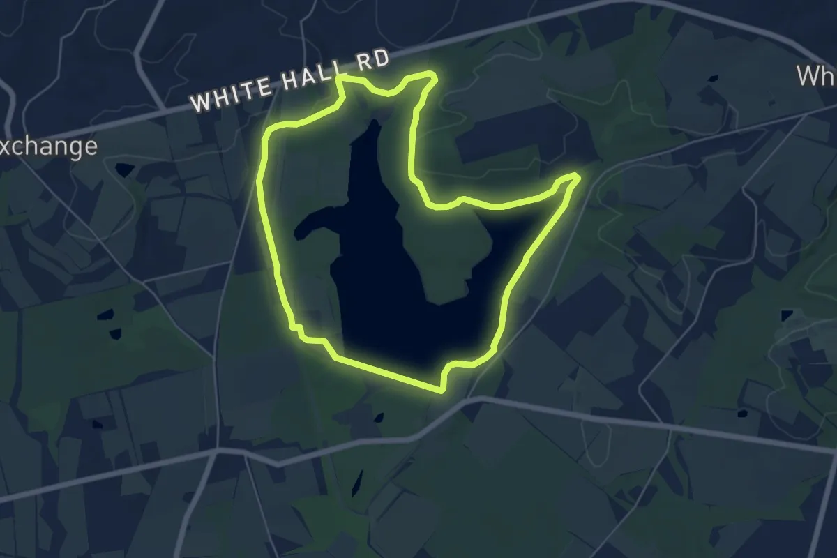
Easy · Trail
Chilisuagi Trail
6.2 km · ↑ 53 m · 1 h 40 min
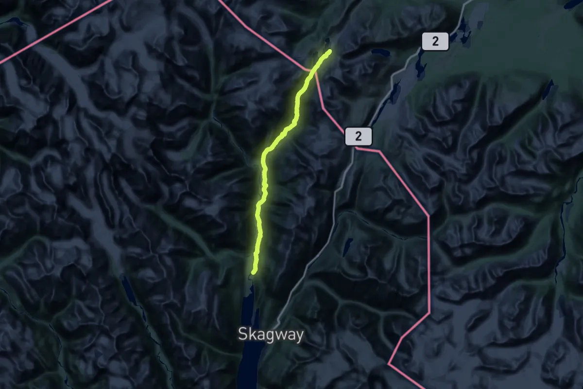
Demanding · Trail
Chilkoot Trail
27.3 km · ↑ 1430 m · 9 h 26 min
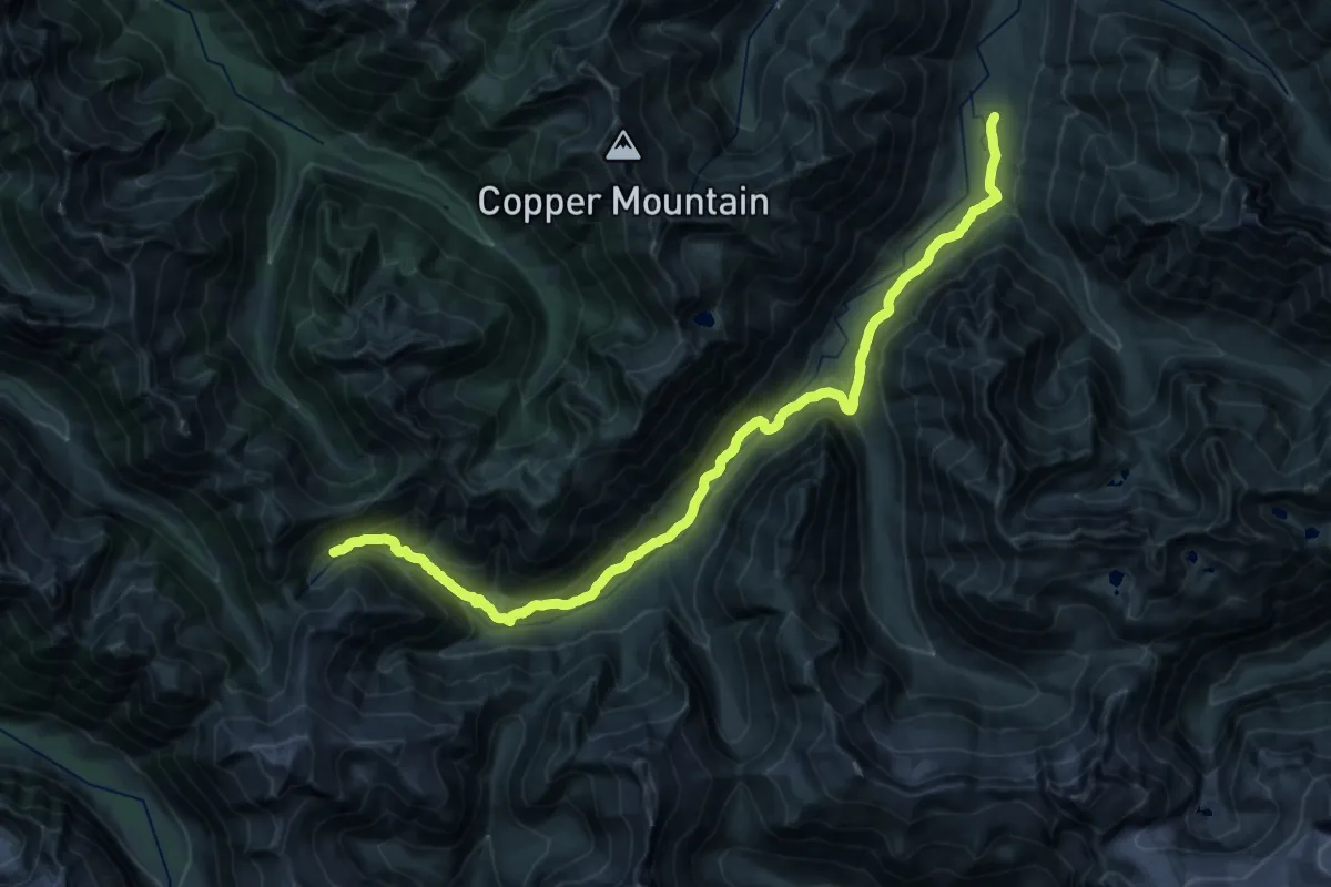
Demanding · Trail
Chilliwack River Trail
15.3 km · ↑ 1042 m · 5 h 45 min
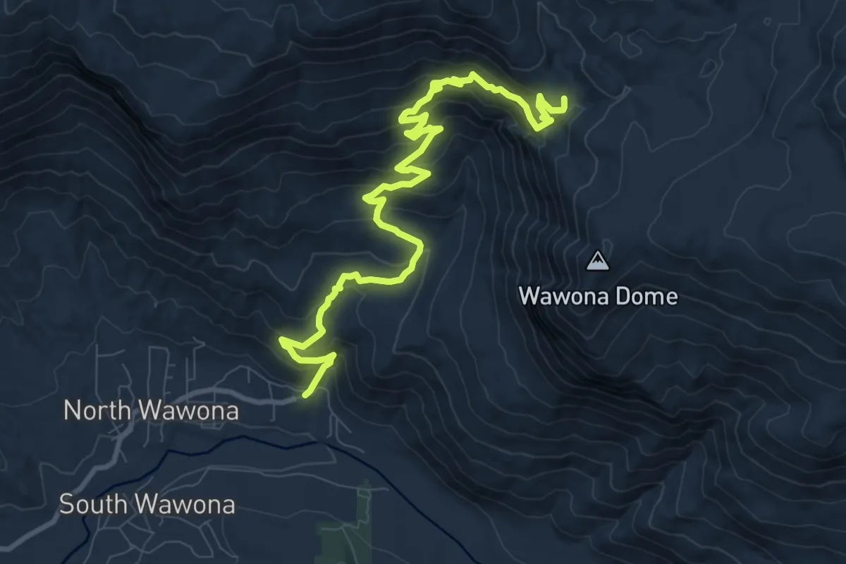
Medium · Trail
Chilnualna Falls Trail
12.4 km · ↑ 707 m · 4 h 28 min
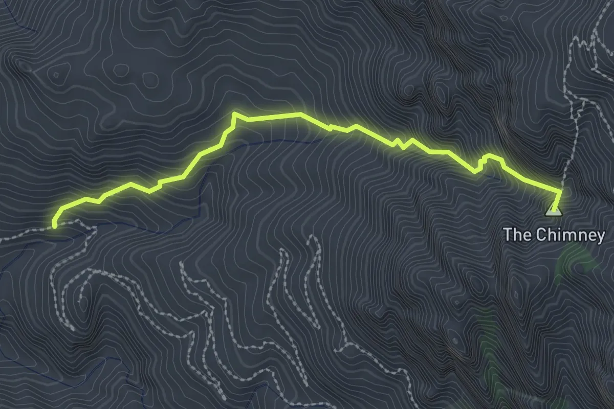
Expert · Summit
Chimney Canyon Trail
3.2 km · ↑ 530 m · 1 h 54 min
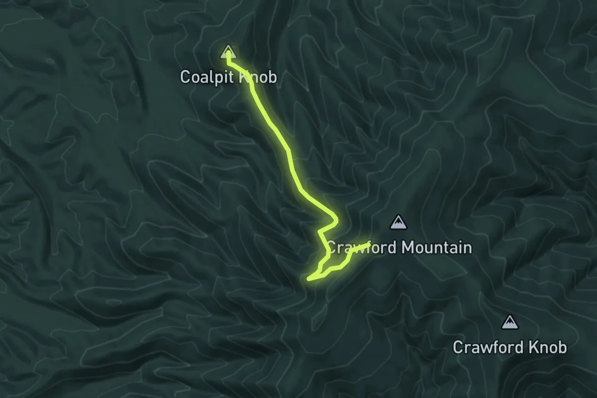
Medium · Summit
Chimney Hollow Trail
5.3 km · ↑ 338 m · 2 h
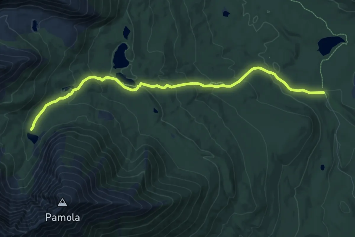
Medium · Trail
Chimney Pond Trail
9.8 km · ↑ 440 m · 3 h 16 min
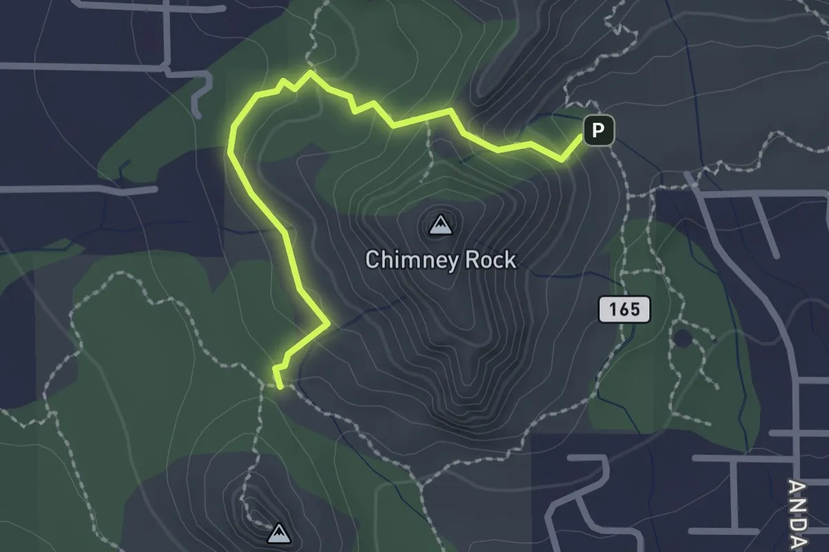
Easy · Trail
Chimney Rock Pass #165B
2.6 km · ↑ 125 m · 52 min
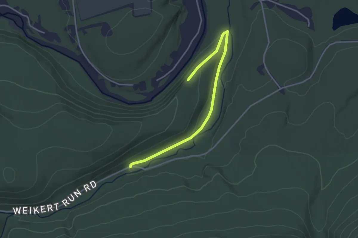
Easy · Trail
Chimney Rocks Trail
3.6 km · ↑ 74 m · 1 h 1 min
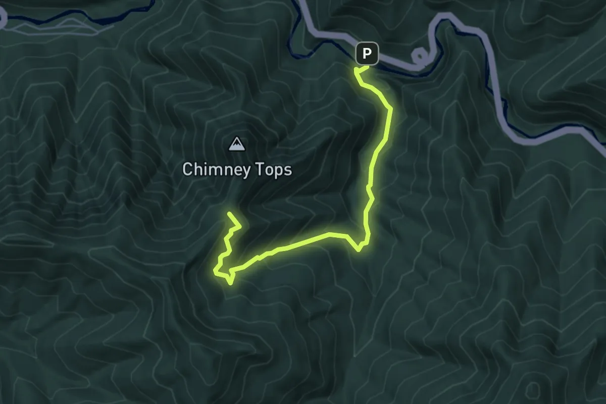
Medium · Trail
Chimney Tops Trail
5.8 km · ↑ 420 m · 2 h 17 min
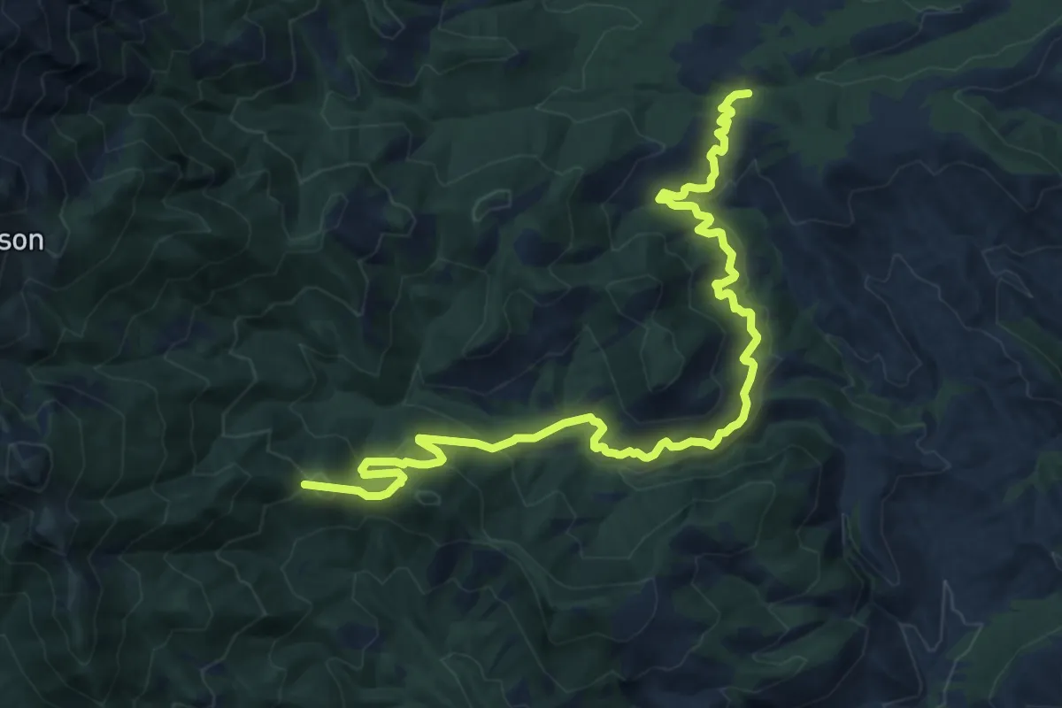
Medium · Trail
Chinaman Trail #137
15.8 km · ↑ 745 m · 5 h 21 min
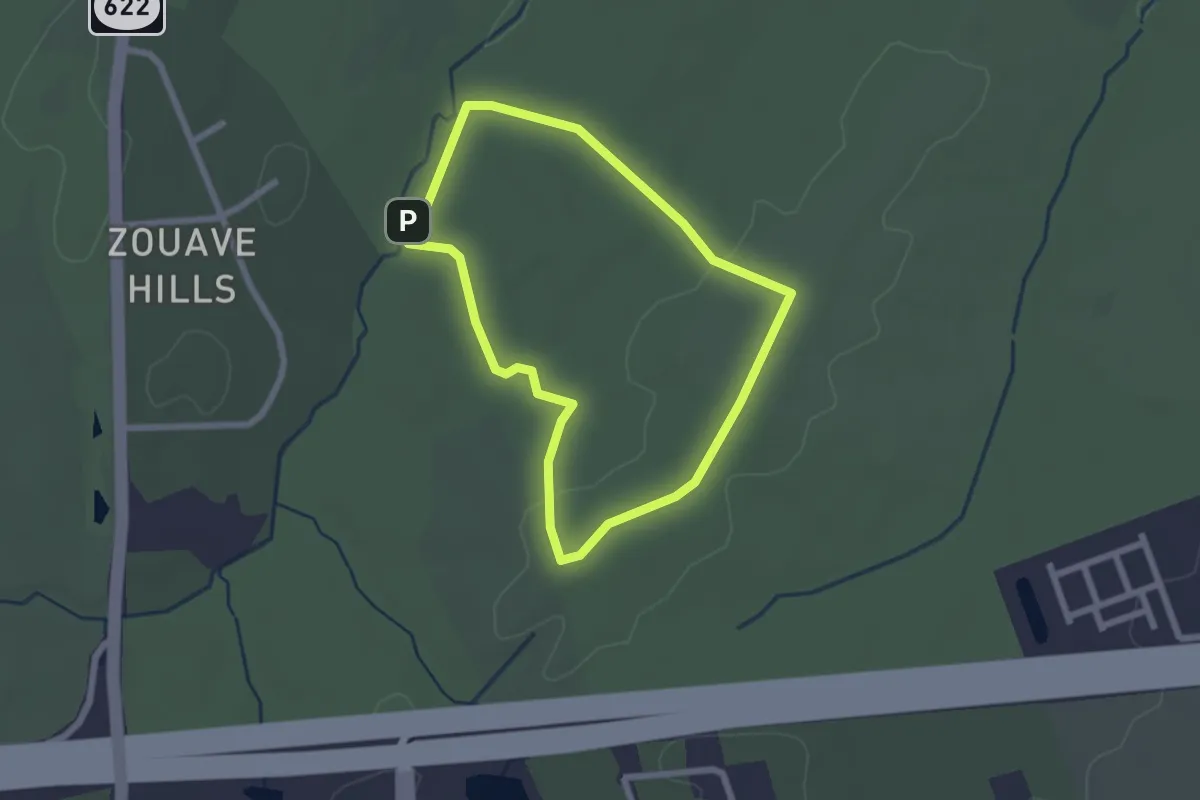
Easy · Trail
Chinn Ridge Loop Trail
2.3 km · ↑ 21 m · 37 min
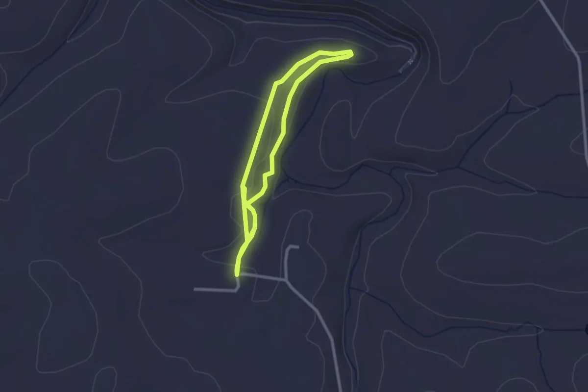
Easy · Trail
Chinquapin
4.9 km · ↑ 48 m · 1 h 16 min
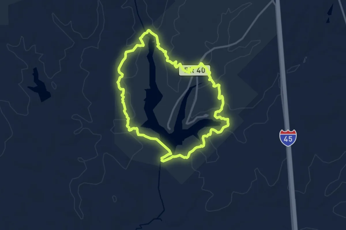
Medium · Trail
Chinquapin Trail
10.9 km · ↑ 104 m · 2 h 57 min
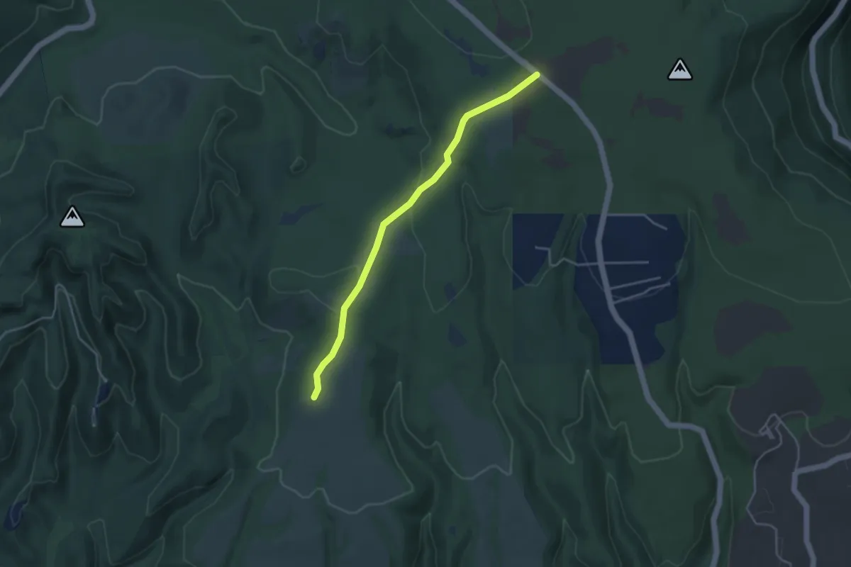
Easy · Trail
Chinquapin Trail
4.2 km · ↑ 95 m · 1 h 13 min
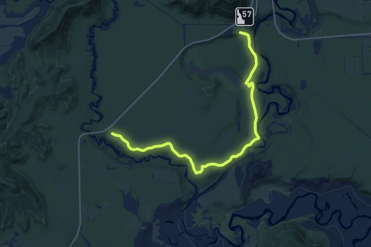
Medium · Trail
Chipmunk Rapids National Recreation Trail
14.3 km · ↑ 115 m · 3 h 38 min
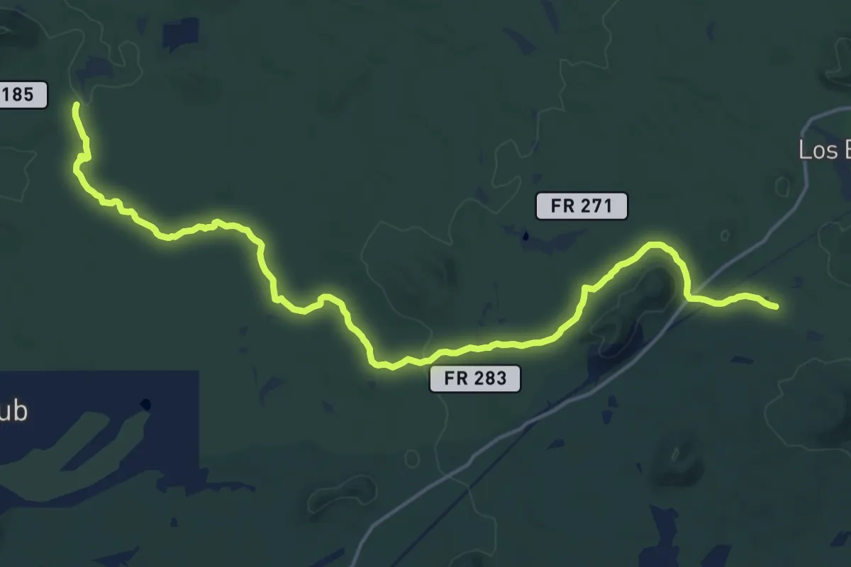
Demanding · Trail
Chipmunk Springs Connector Trail
23.6 km · ↑ 208 m · 6 h 1 min
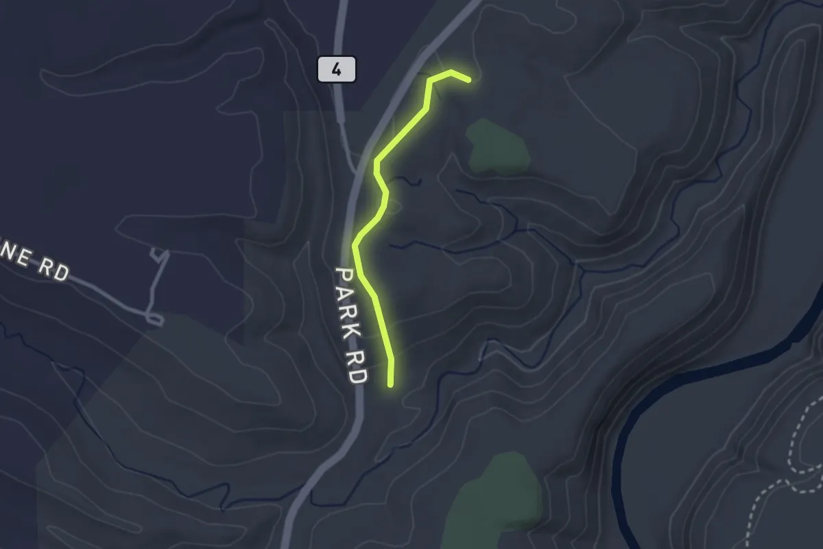
Easy · Trail
Chipmunk Trail
2.2 km · ↑ 75 m · 41 min
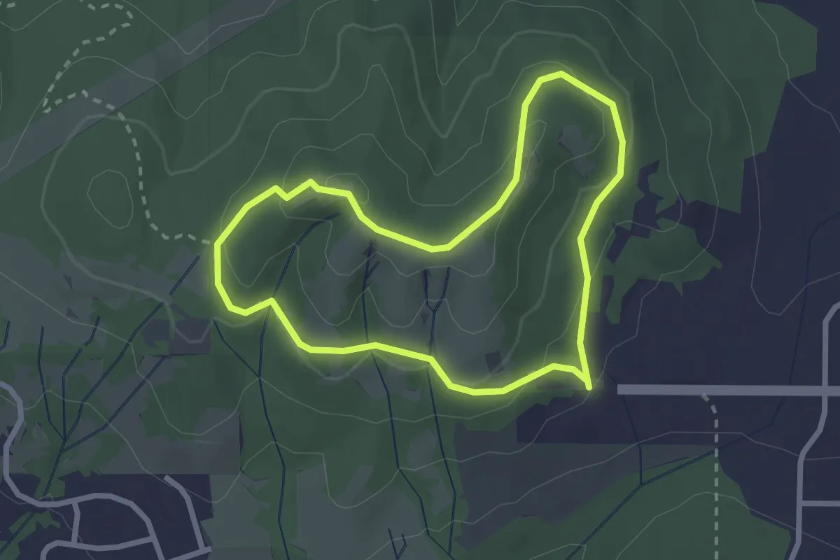
Easy · Trail
Chip Ross Trail
2.4 km · ↑ 108 m · 49 min
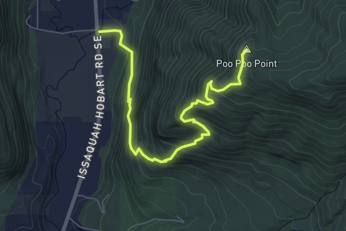
Medium · Summit
Chirico Trail
6.3 km · ↑ 504 m · 2 h 35 min
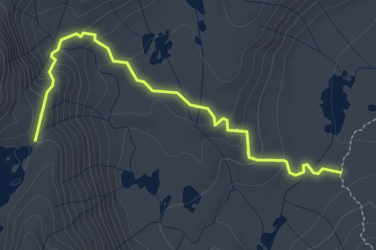
Easy · Trail
Chittenden Lake Trail
3.0 km · ↑ 118 m · 57 min
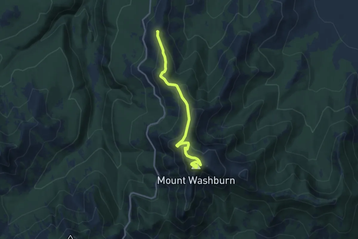
Medium · Summit
Chittenden Road - Mount Washburn Trail
9.1 km · ↑ 455 m · 3 h 9 min
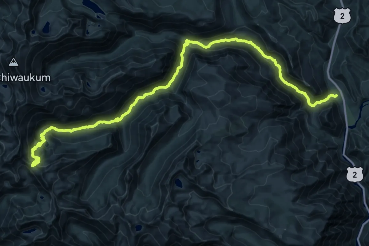
Demanding · Trail
Chiwaukum Creek Trail
21.9 km · ↑ 1659 m · 8 h 18 min
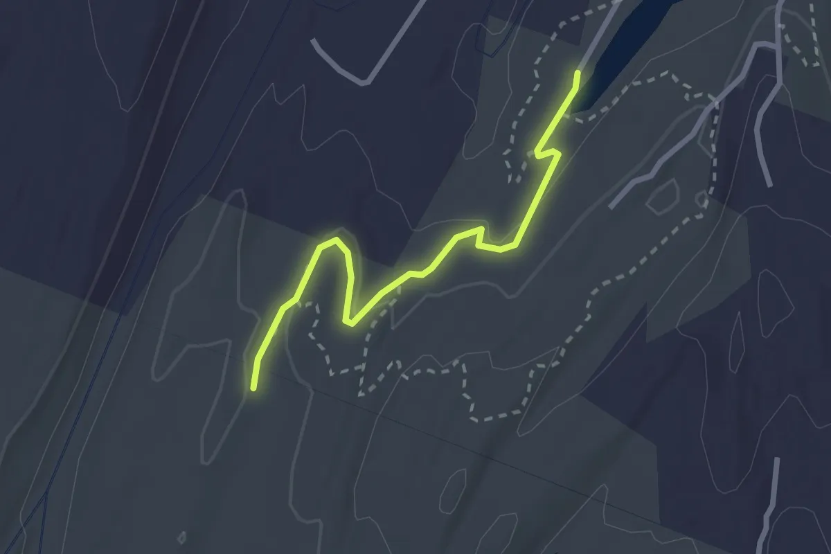
Easy · Trail
Chodikee Trail
2.6 km · ↑ 30 m · 41 min
Easy · Trail
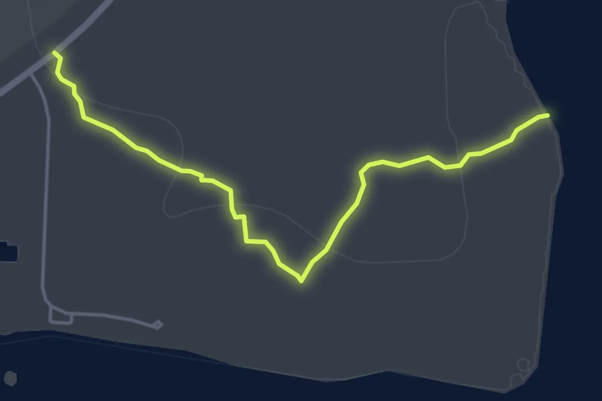
Christian Point Trail
5.7 km · ↑ 0 m · 1 h 21 min
Easy · Trail
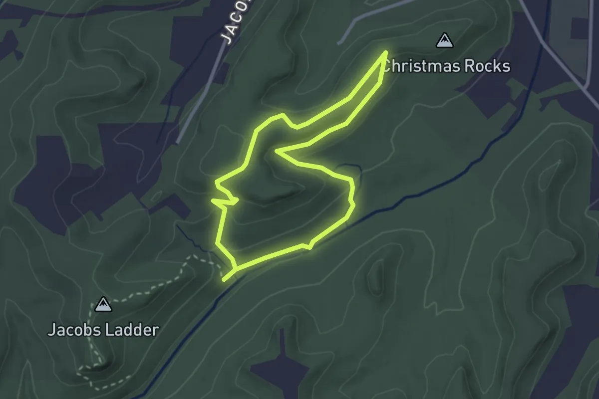
Christmas Rocks Blue Loop Trail
2.6 km · ↑ 78 m · 49 min
Easy · Summit
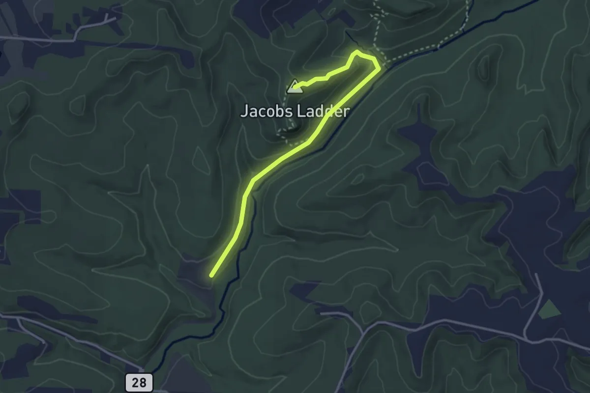
Christmas Rocks Orange Loop Trail
3.6 km · ↑ 135 m · 1 h 9 min
Demanding · Trail
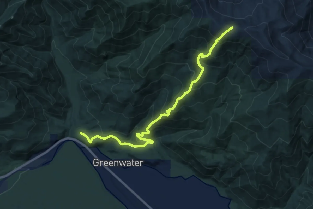
Christoff Trail
11.3 km · ↑ 964 m · 4 h 45 min
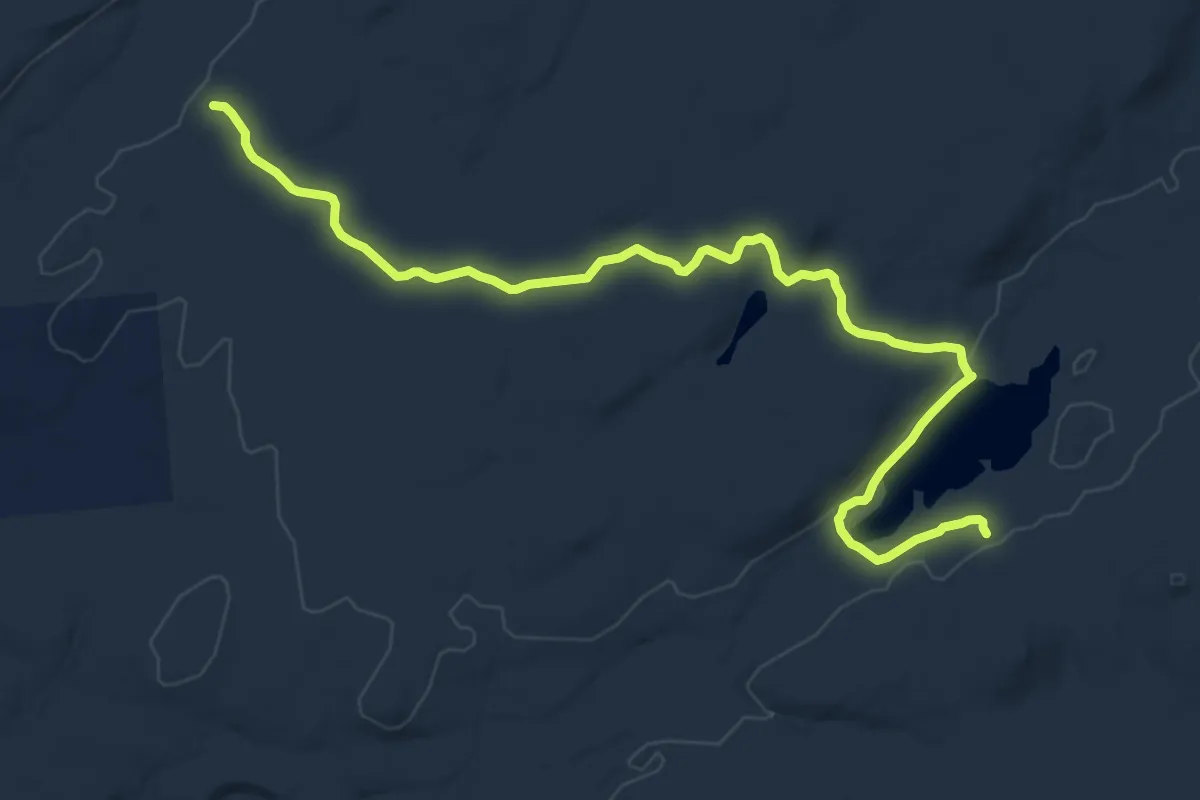
Medium · Trail
Chub Pond Trail
15.0 km · ↑ 118 m · 3 h 48 min
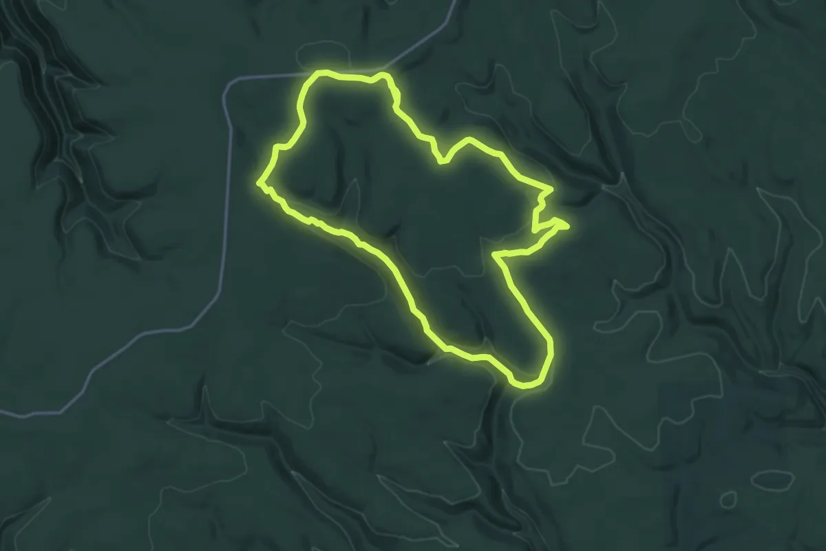
Medium · Trail
Chuck Keiper Trail - Eddy Lick Trail Loop
16.3 km · ↑ 282 m · 4 h 42 min
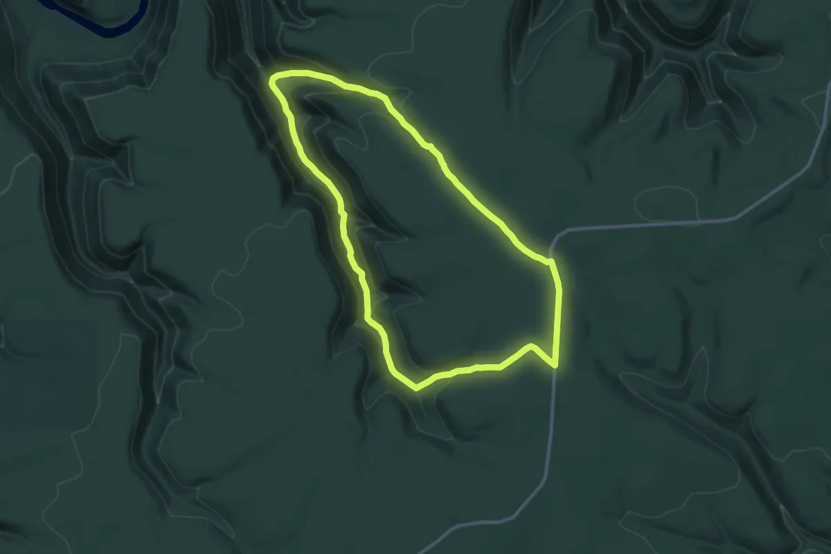
Medium · Trail
Chuck Keiper Trail - Yost Run Trail Loop
11.3 km · ↑ 403 m · 3 h 43 min
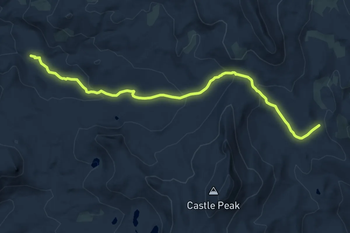
Medium · Trail
Chuck Pass Trail
14.6 km · ↑ 430 m · 4 h 23 min
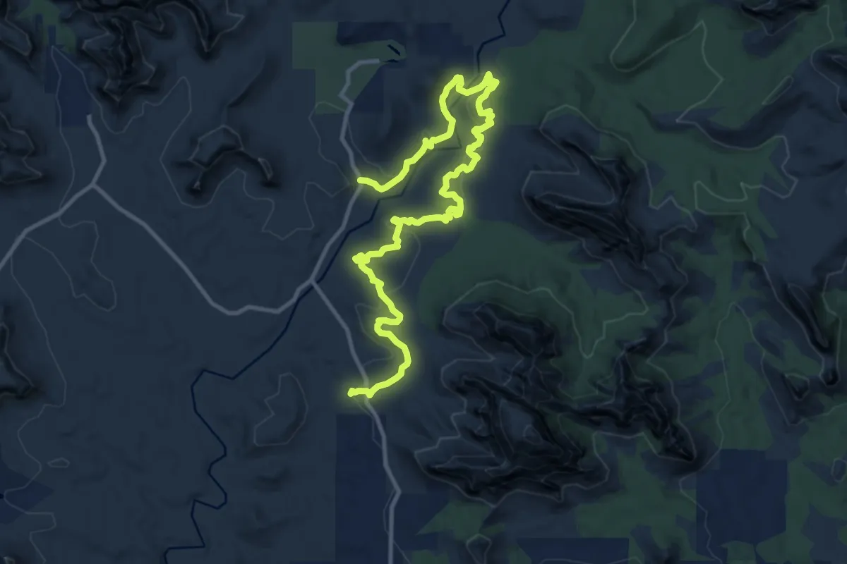
Medium · Trail
Chuckwagon #196
16.4 km · ↑ 335 m · 4 h 35 min
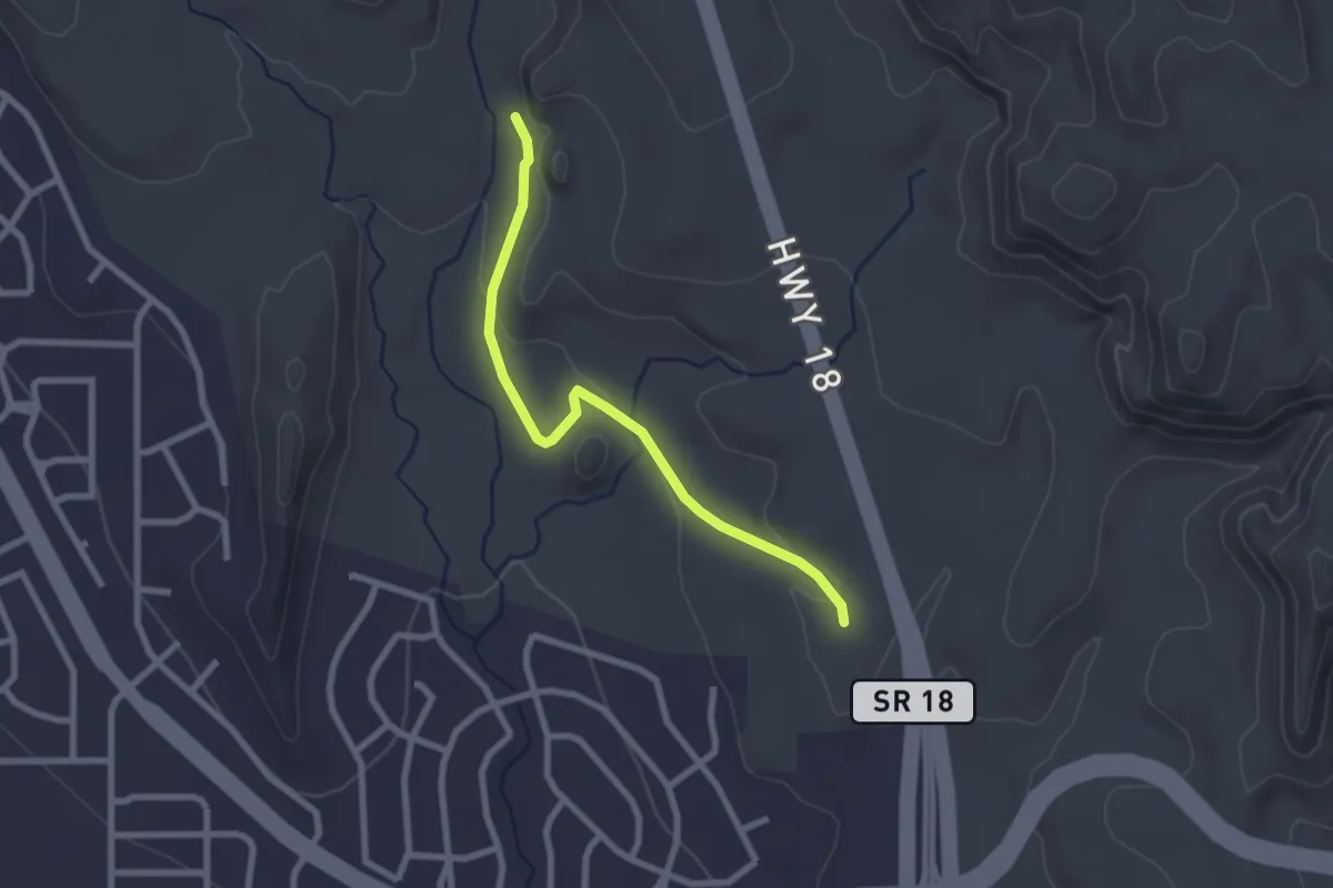
Easy · Trail
Chuckwalla
2.8 km · ↑ 49 m · 46 min
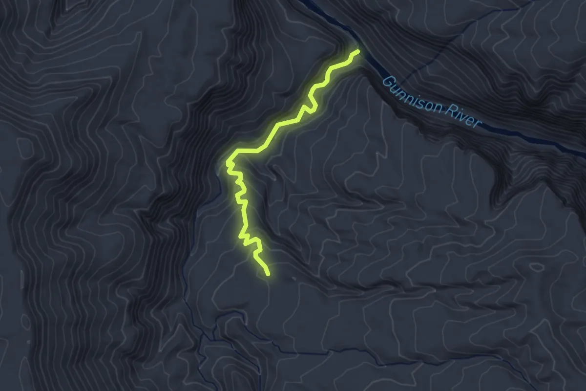
Easy · Trail
Chukar Trail
3.4 km · ↑ 182 m · 1 h 12 min
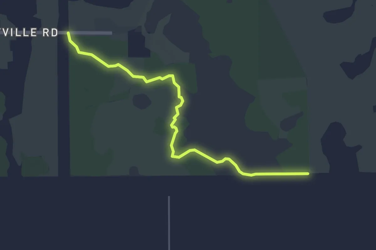
Easy · Trail
Chuluota Wilderness Out & Back
6.2 km · ↑ 8 m · 1 h 29 min
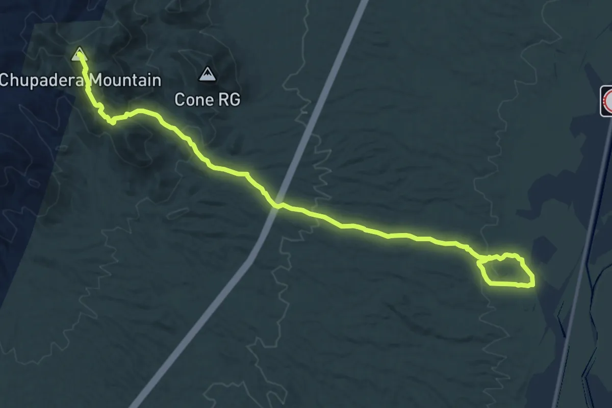
Medium · Summit
Chupadera Wilderness National Recreation Trail
16.1 km · ↑ 562 m · 5 h 2 min
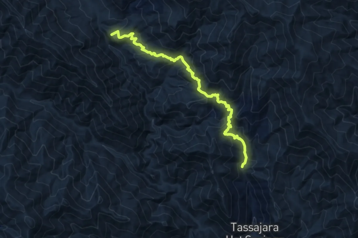
Medium · Summit
Church Creek Trail
11.4 km · ↑ 720 m · 4 h 15 min
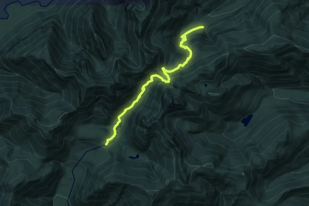
Demanding · Trail
Church Creek Trail #871
10.2 km · ↑ 815 m · 4 h 10 min
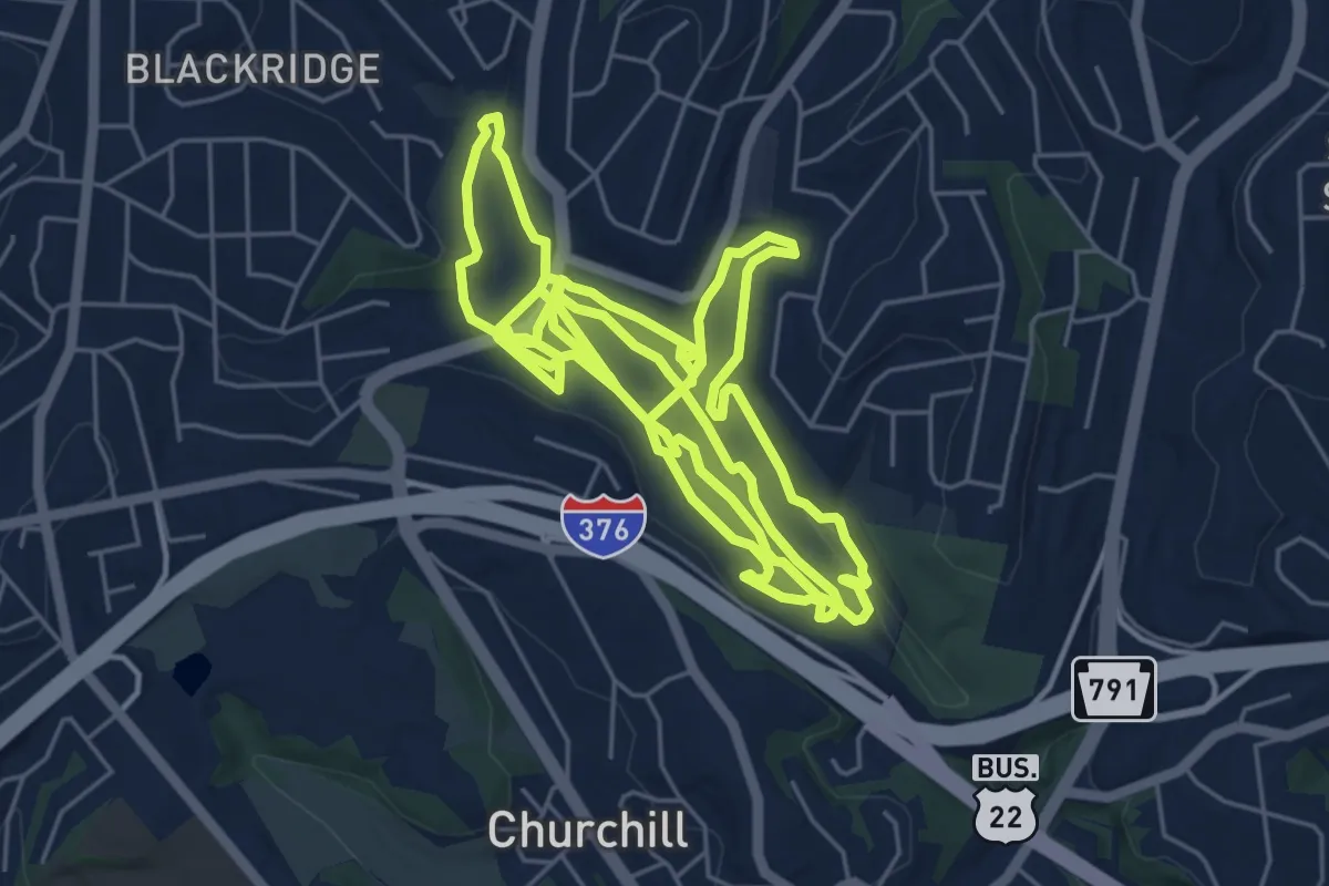
Medium · Trail
Churchill Valley Greenway Hiking Network
16.8 km · ↑ 297 m · 4 h 37 min
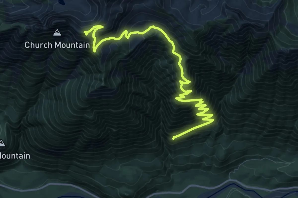
Demanding · Trail
Church Mountain Trail
12.8 km · ↑ 1241 m · 5 h 43 min
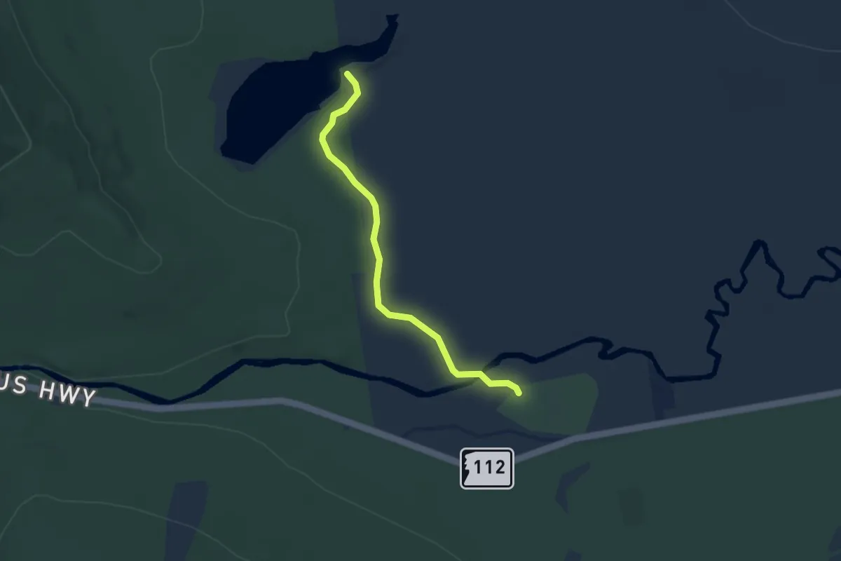
Easy · Trail
Church Pond Trail
3.3 km · ↑ 13 m · 49 min
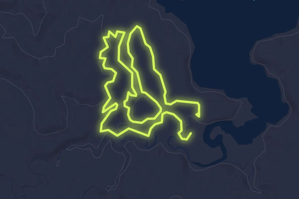
Easy · Trail
Chutes and Ladders
3.3 km · ↑ 31 m · 54 min
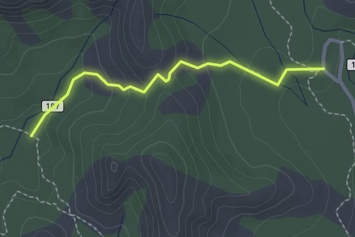
Easy · Trail
Cibola Pass #187
2.0 km · ↑ 86 m · 40 min
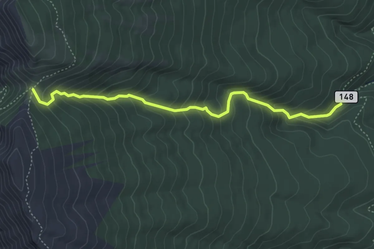
Medium · Trail
Ciénega Trail
5.4 km · ↑ 457 m · 2 h 15 min
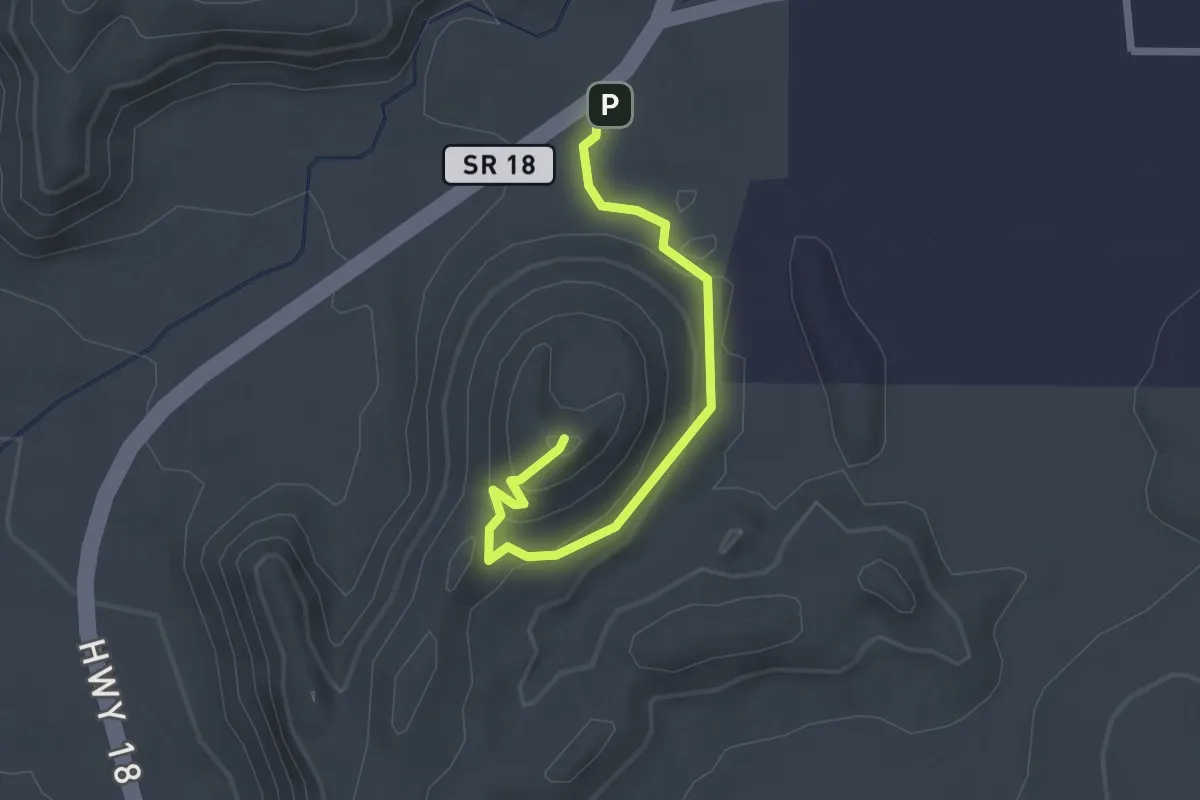
Easy · Trail
Cinder Cone Trail
2.6 km · ↑ 114 m · 51 min
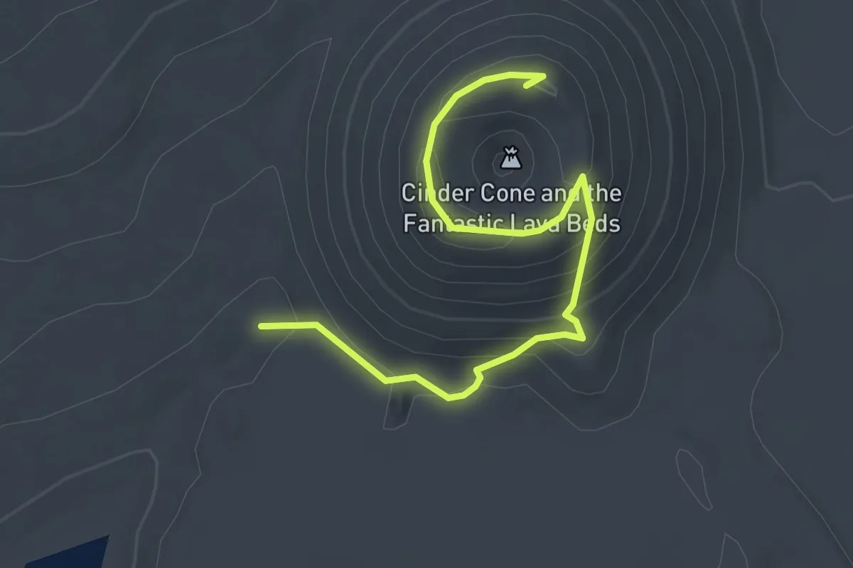
Easy · Summit
Cinder Cone Trail
3.4 km · ↑ 196 m · 1 h 14 min
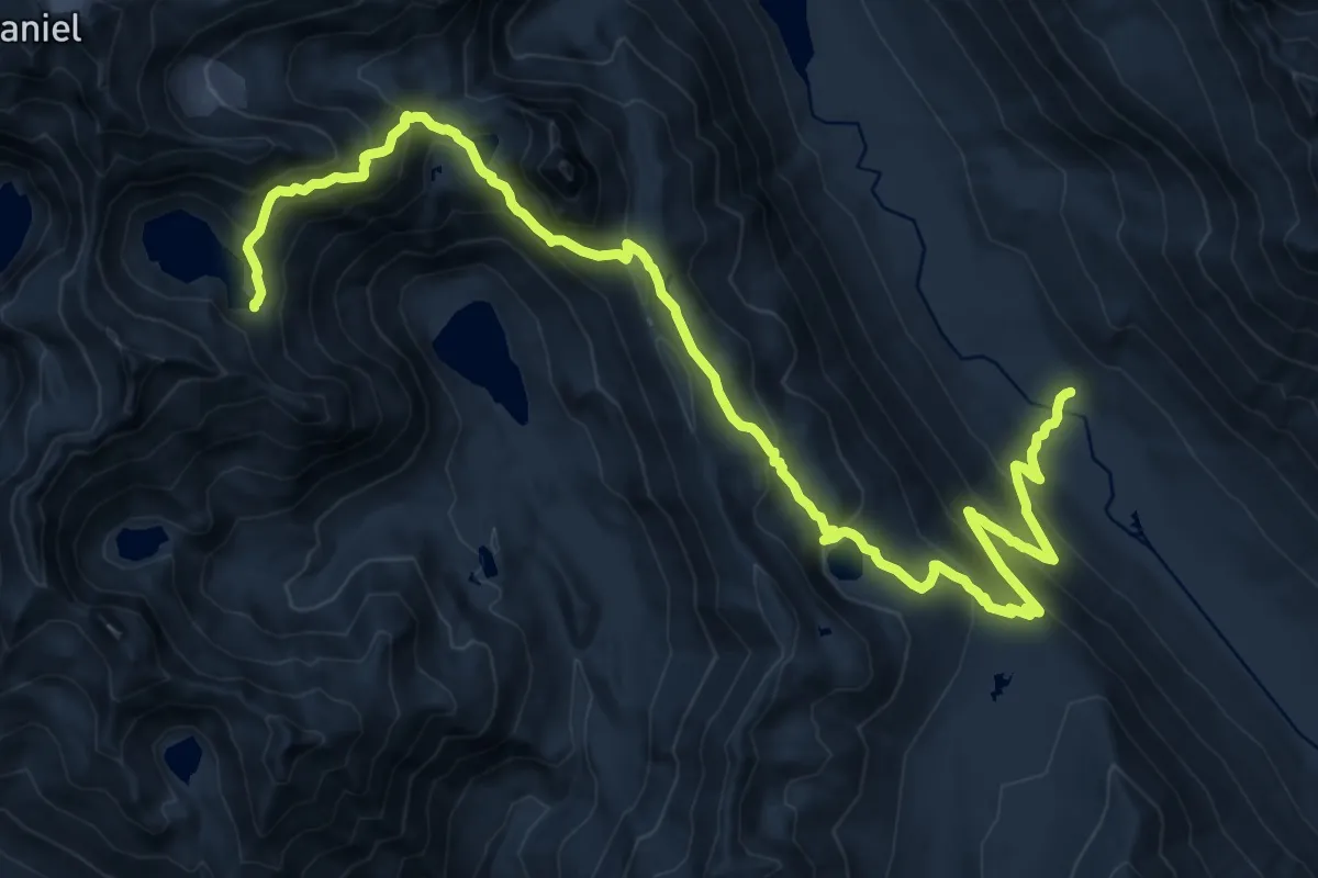
Demanding · Trail
Circle Lake
20.3 km · ↑ 1217 m · 7 h 26 min