Trails in United States
10,332 hiking trails, each with its route, climb, walking time and grade.
All trails, page 41 of 216
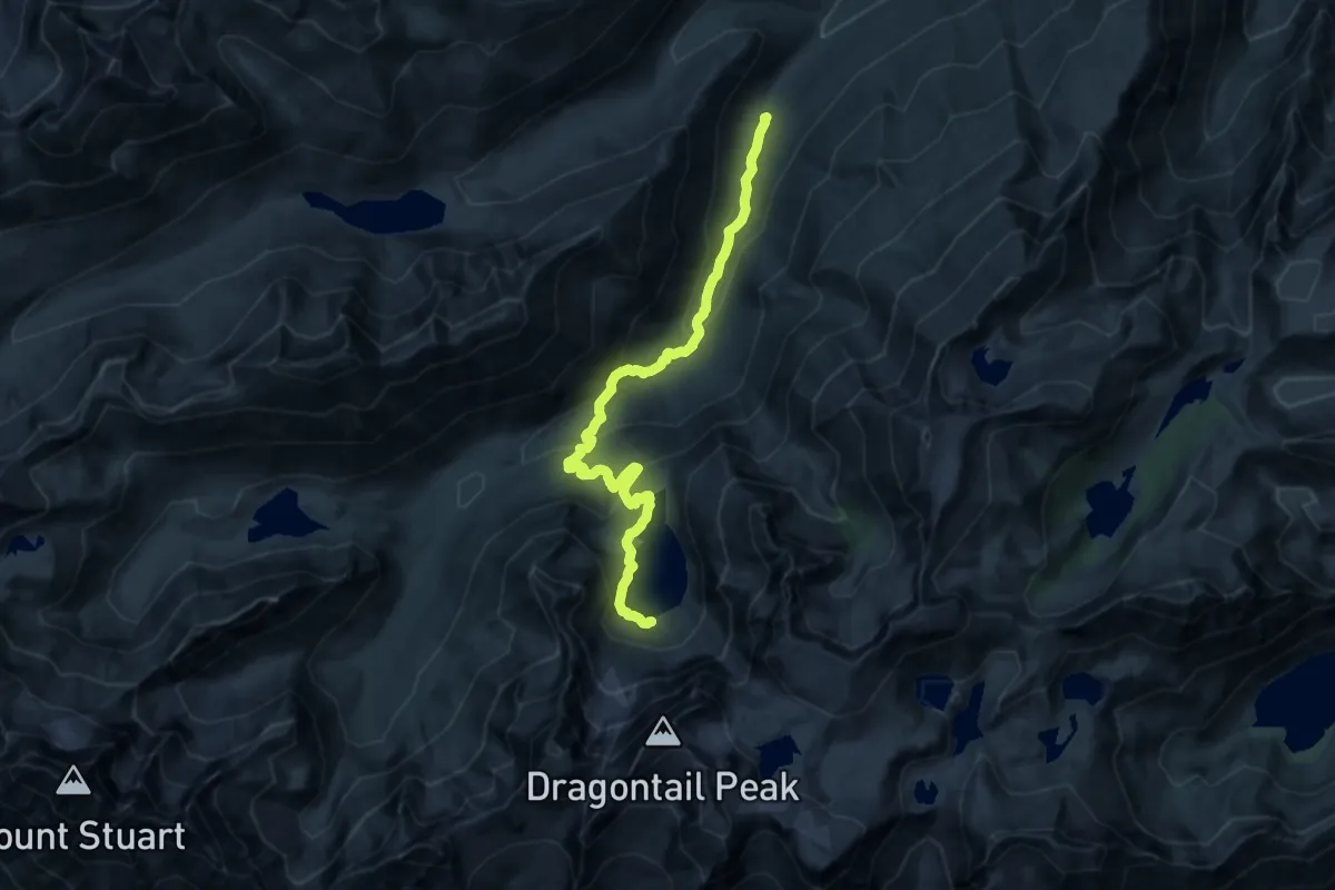
Medium · Trail
Colchuck Lake Trail
14.3 km · ↑ 773 m · 5 h 3 min
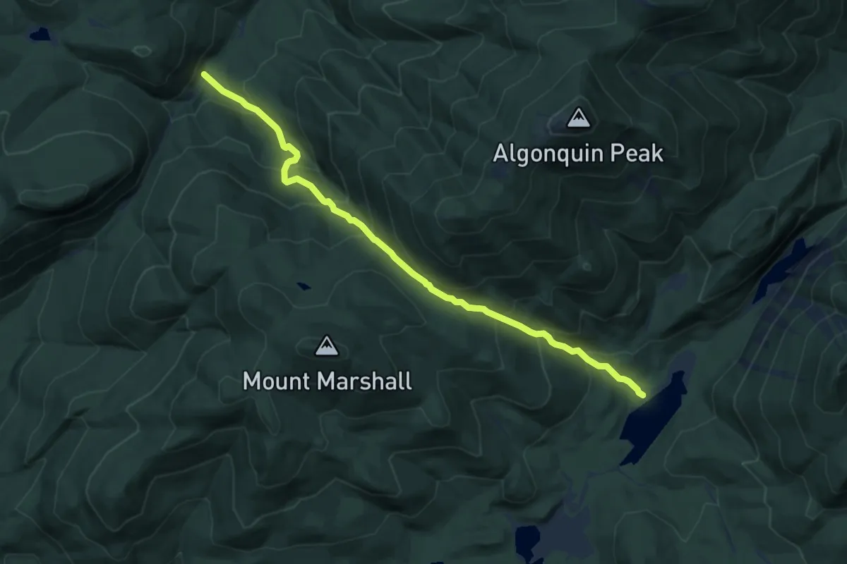
Medium · Trail
Cold Brook Pass Trail
9.3 km · ↑ 745 m · 3 h 49 min
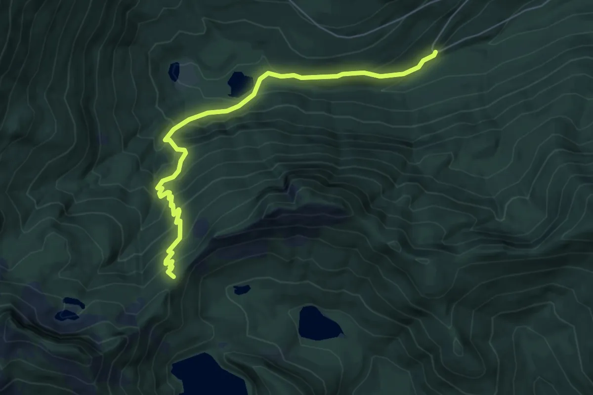
Medium · Trail
Cold Creek Trail
6.3 km · ↑ 543 m · 2 h 39 min
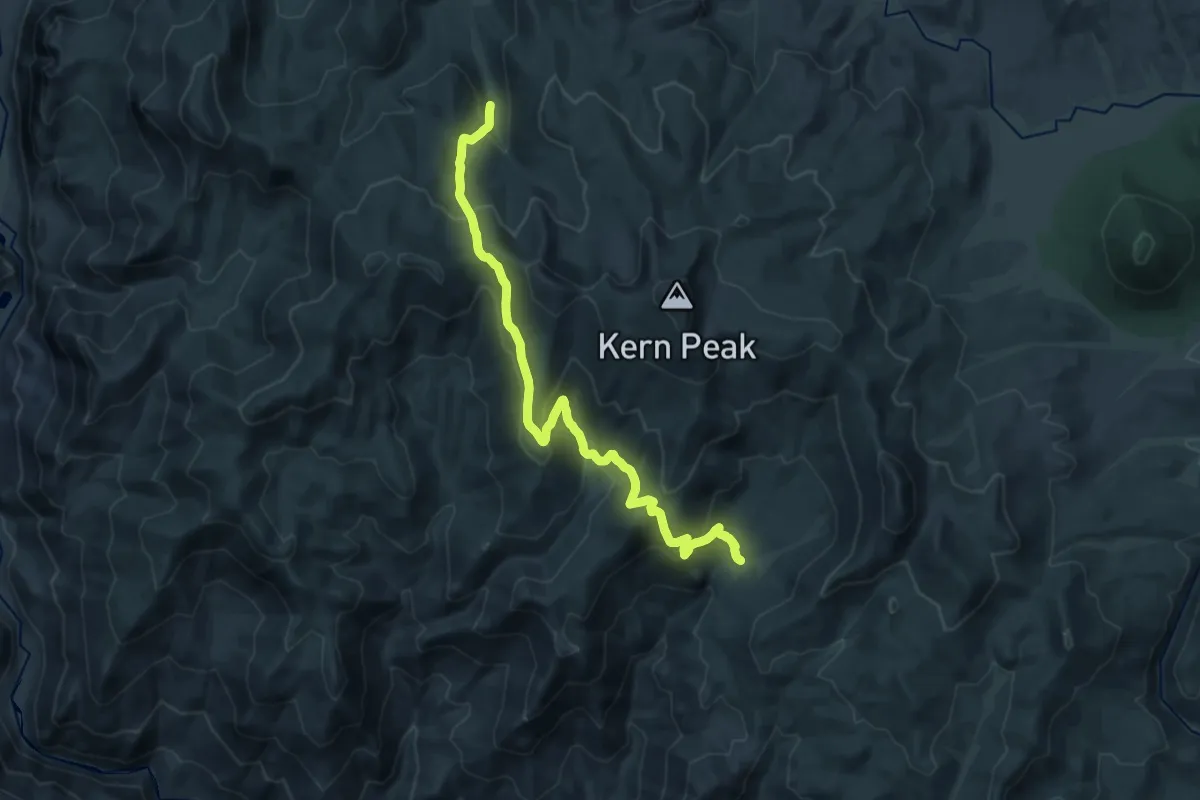
Medium · Trail
Cold Meadows Trail
12.2 km · ↑ 693 m · 4 h 31 min
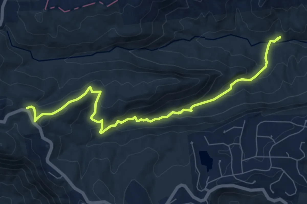
Medium · Trail
Coldspring Branch Trail
8.5 km · ↑ 432 m · 2 h 57 min
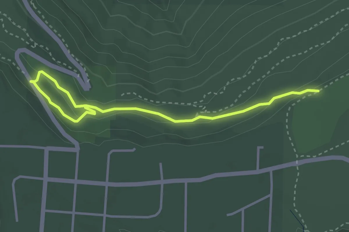
Medium · Trail
Cold Springs Trail
4.0 km · ↑ 115 m · 1 h 12 min
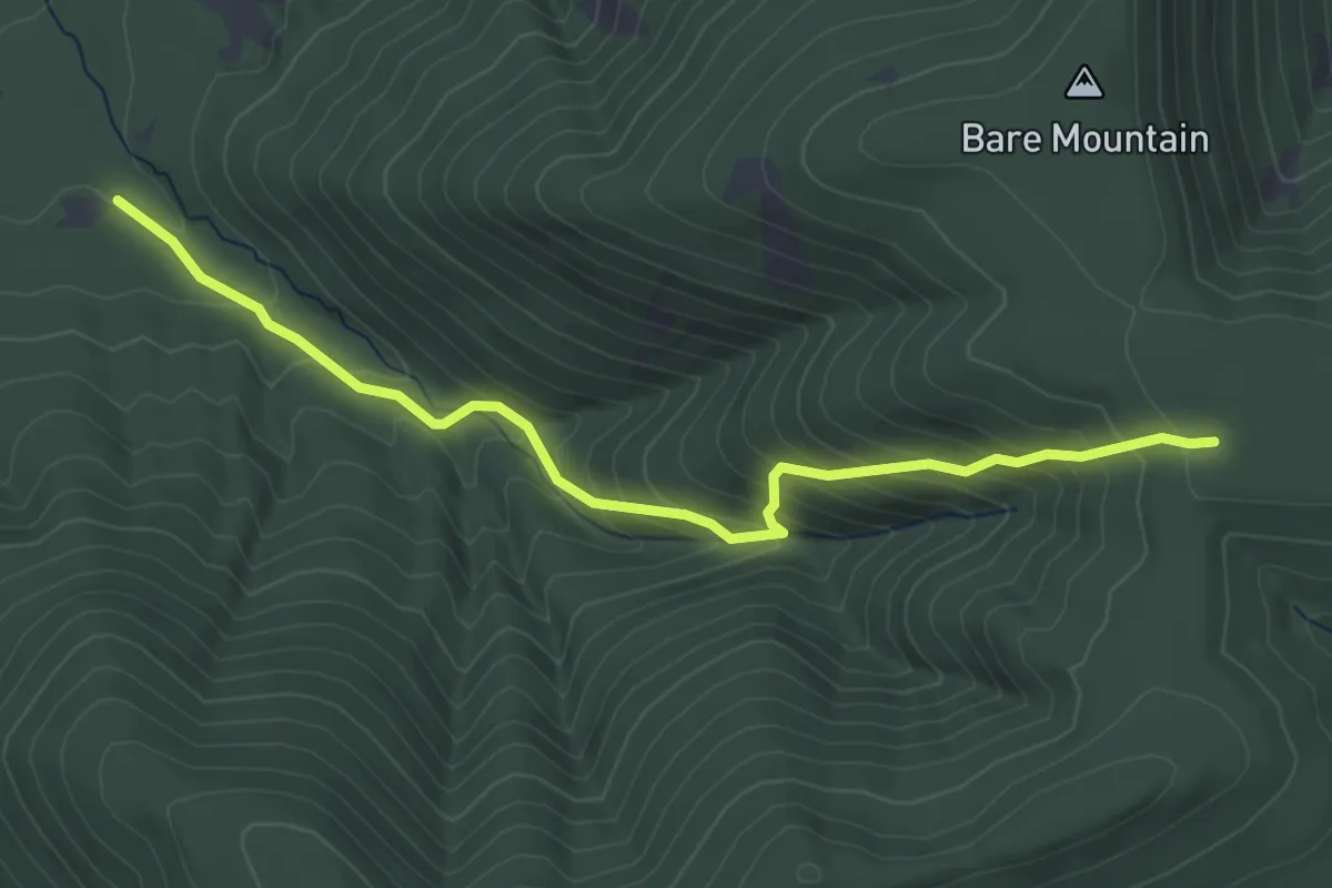
Medium · Trail
Cold Springs Trail
4.5 km · ↑ 358 m · 1 h 50 min
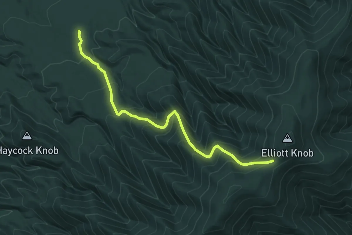
Medium · Trail
Cold Springs Trail
6.9 km · ↑ 577 m · 2 h 53 min
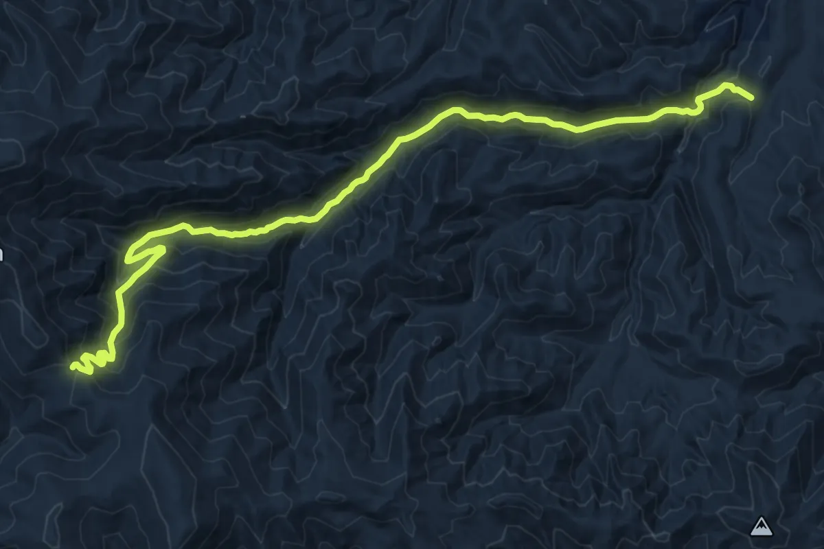
Demanding · Trail
Cold Spring Trail
20.6 km · ↑ 1205 m · 7 h 28 min
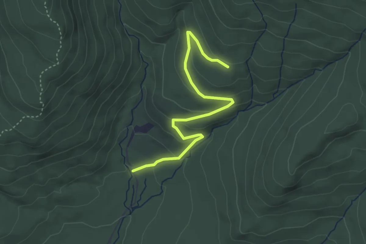
Easy · Trail
Cold Spring Trail
4.0 km · ↑ 138 m · 1 h 14 min
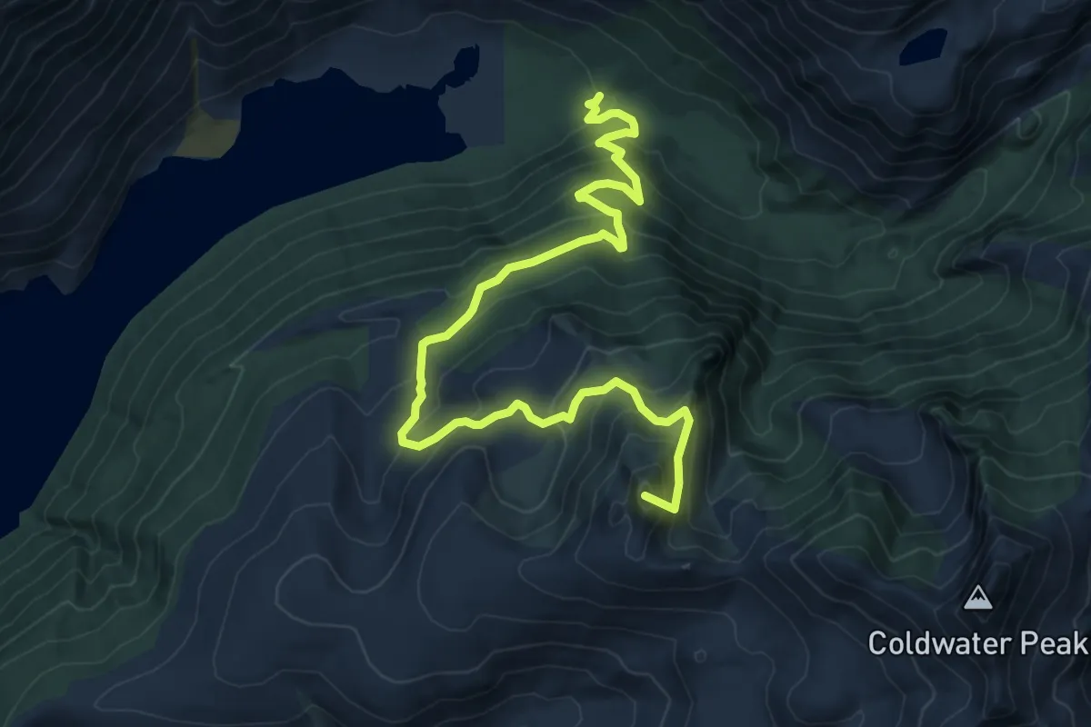
Medium · Summit
Coldwater Trail
9.7 km · ↑ 743 m · 3 h 54 min
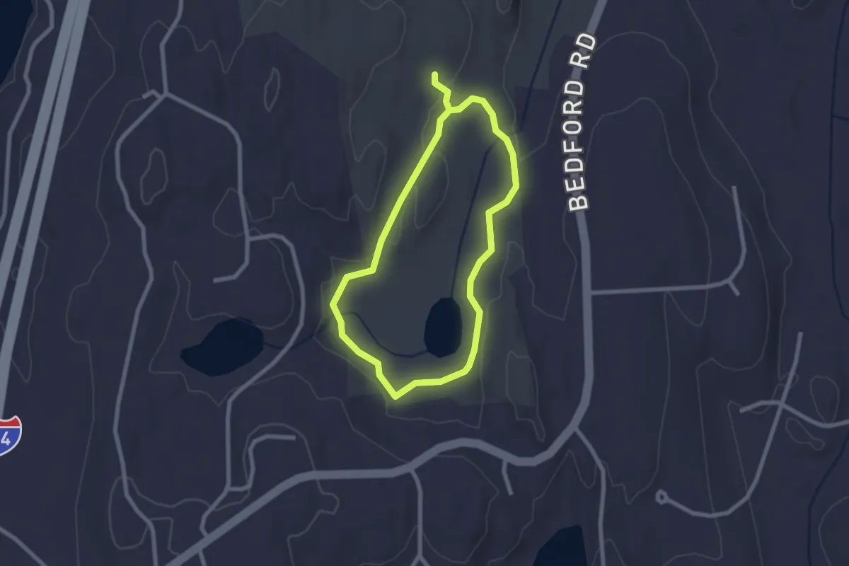
Easy · Trail
Cole Kettle Trail
2.1 km · ↑ 20 m · 35 min
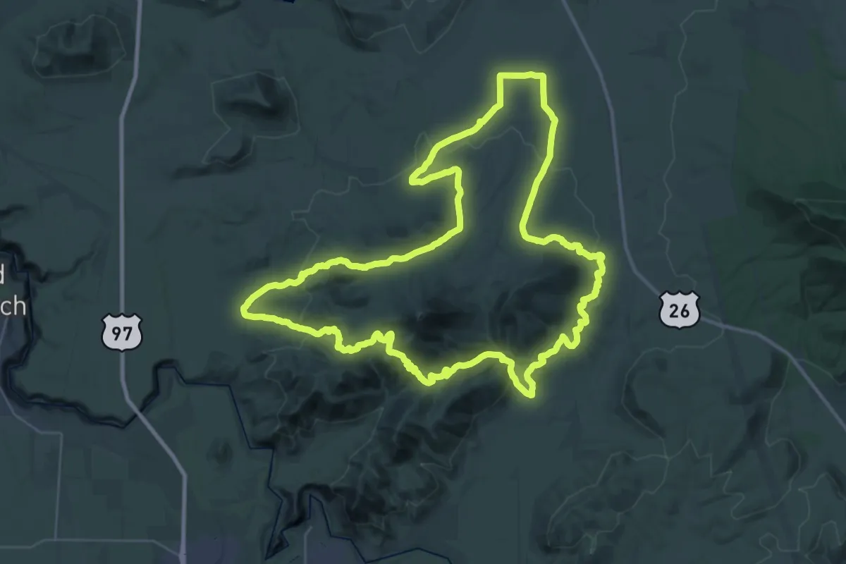
Demanding · Trail
Cole Loop Trail
39.2 km · ↑ 909 m · 11 h 46 min
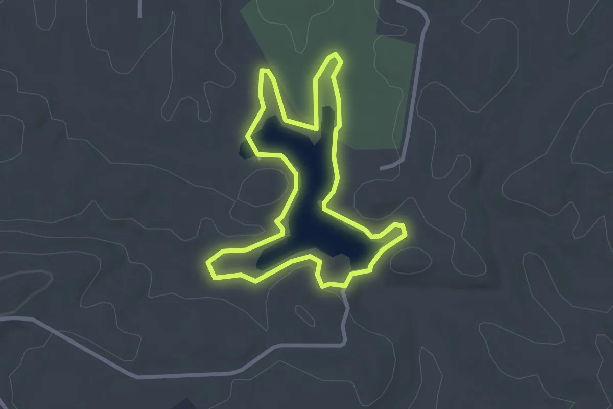
Easy · Trail
Coleman Lake Loop
2.9 km · ↑ 22 m · 47 min
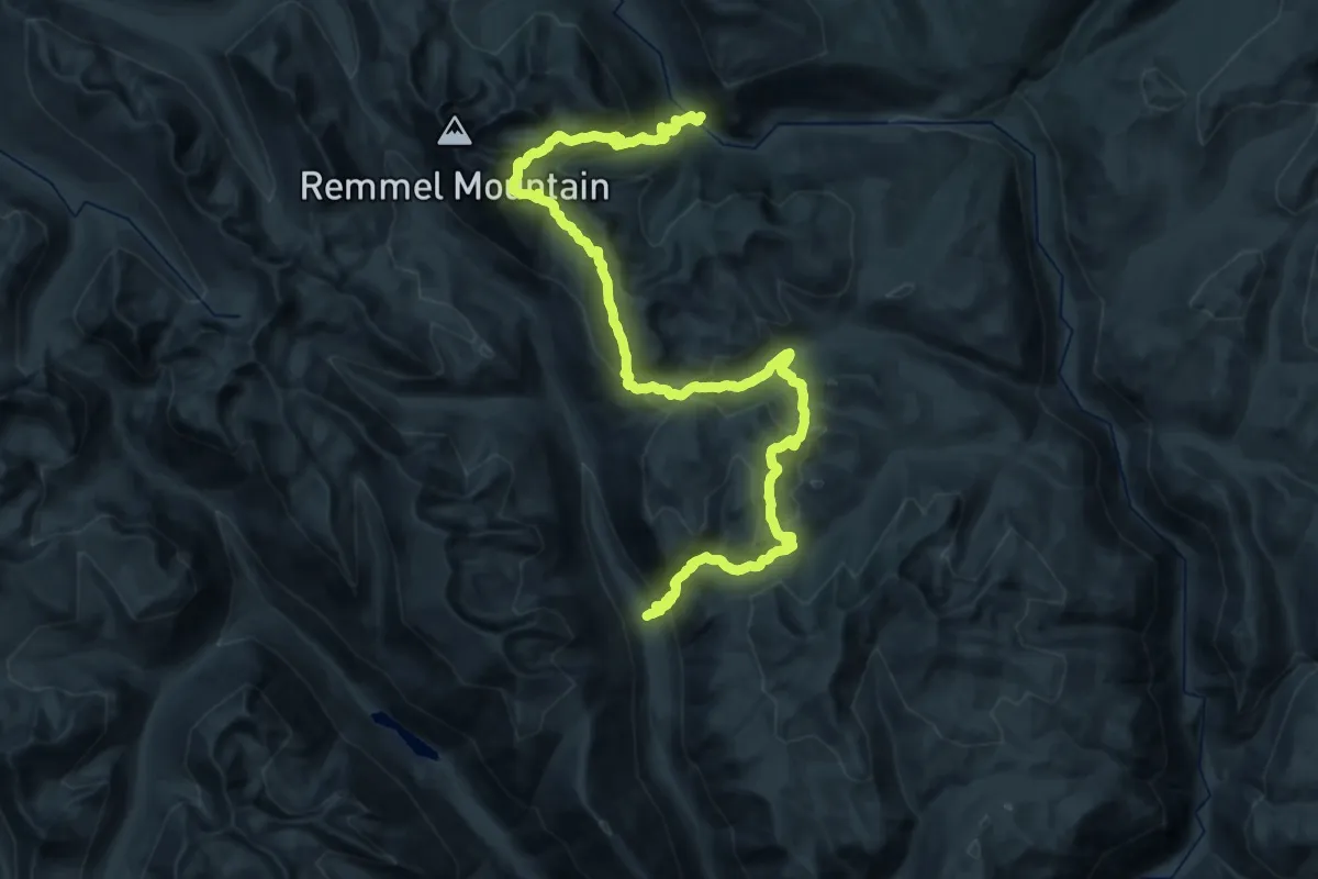
Demanding · Trail
Coleman Ridge Trail
21.5 km · ↑ 1352 m · 8 h 12 min
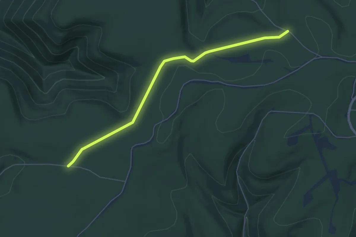
Easy · Trail
Coleman Trail
6.3 km · ↑ 129 m · 1 h 47 min
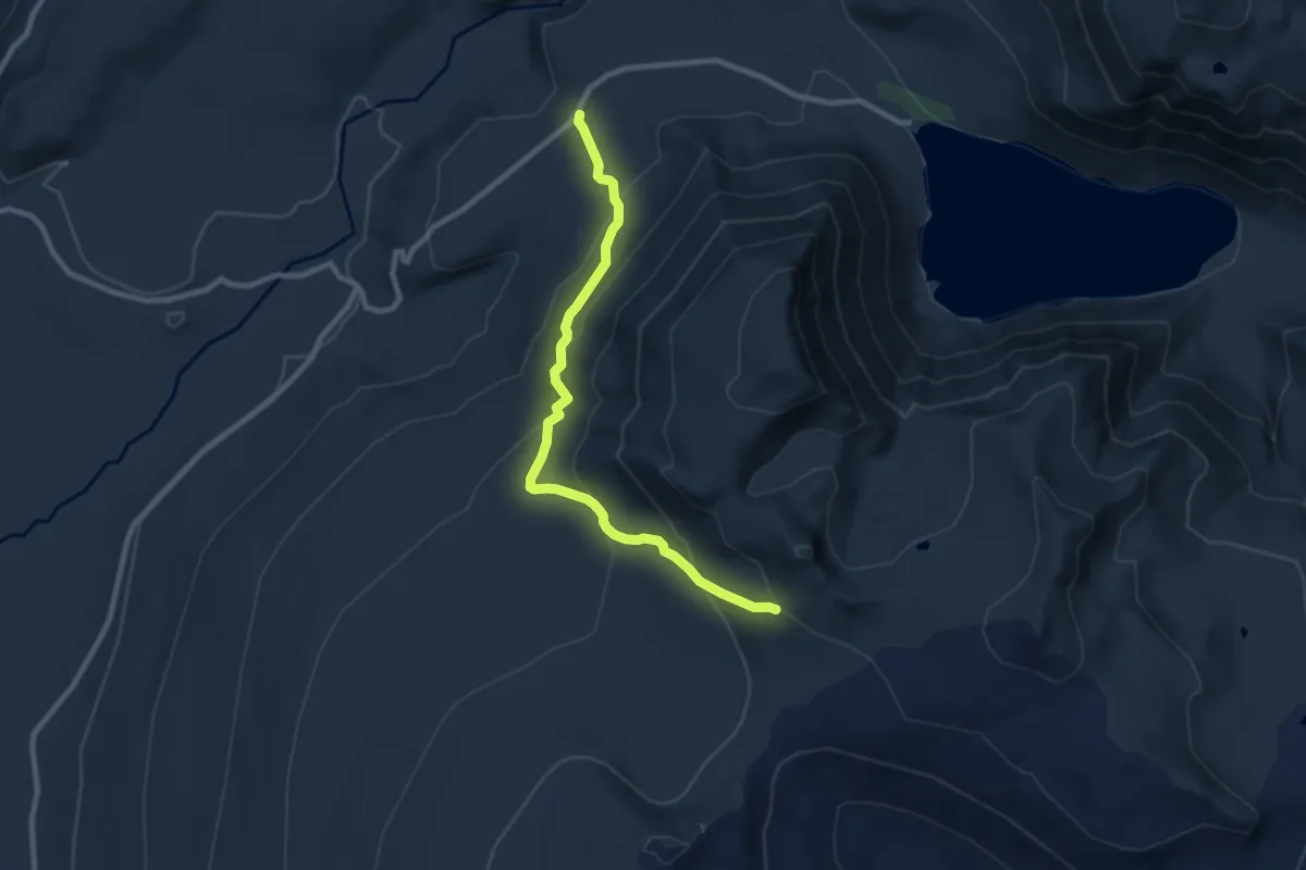
Medium · Trail
Coleman Weedpatch Trail #121
8.8 km · ↑ 477 m · 3 h 7 min
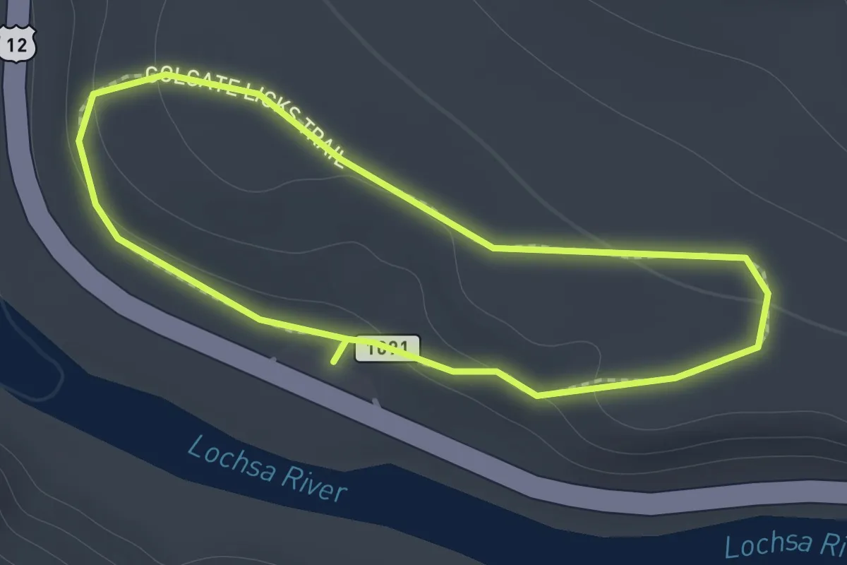
Easy · Trail
Colgate Licks NRT
1.1 km · ↑ 38 m · 22 min
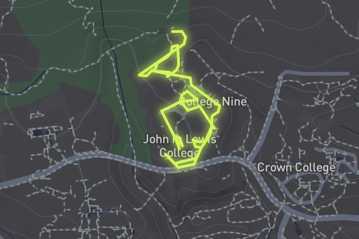
Easy · Trail
college Nine/ Ten wheelchair accessibility
3.6 km · ↑ 44 m · 57 min
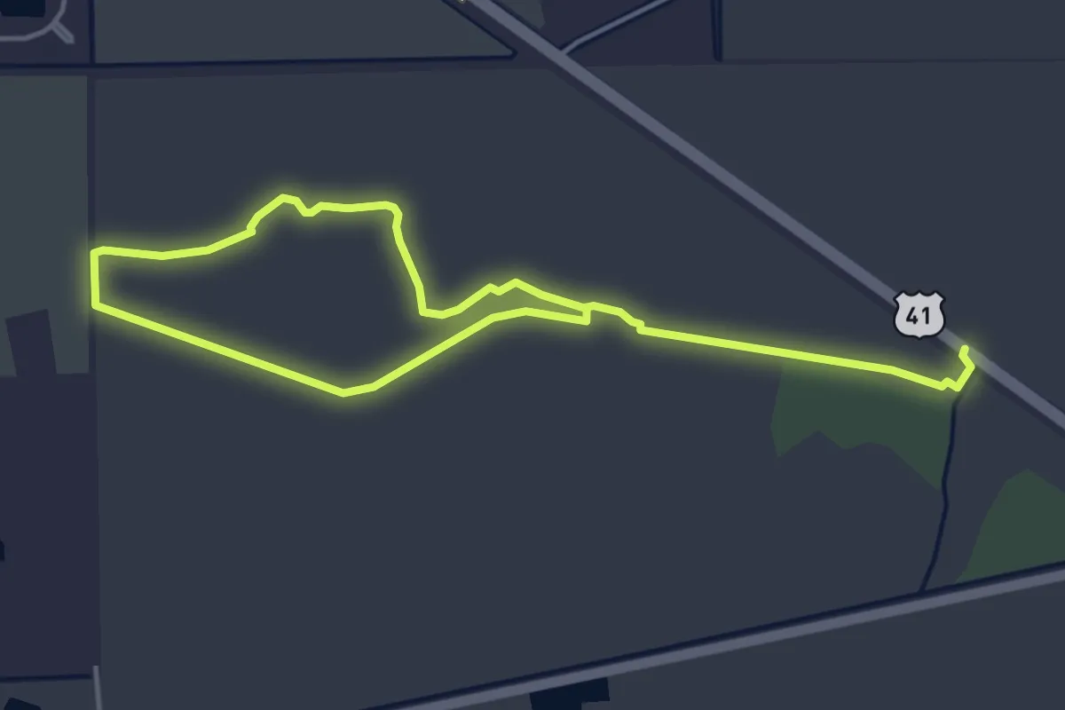
Medium · Trail
Collier-Seminole Hiking Trail
8.8 km · ↑ 0 m · 2 h 5 min
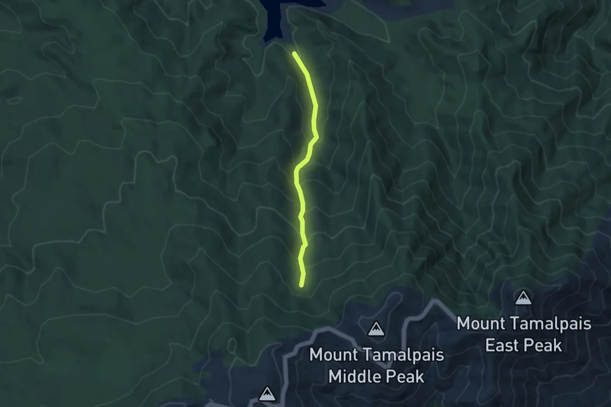
Medium · Trail
Collier Trail
3.2 km · ↑ 326 m · 1 h 28 min
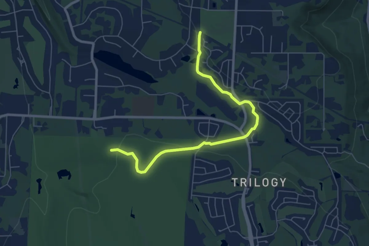
Easy · Trail
Collin Creek Trail
6.3 km · ↑ 78 m · 1 h 40 min
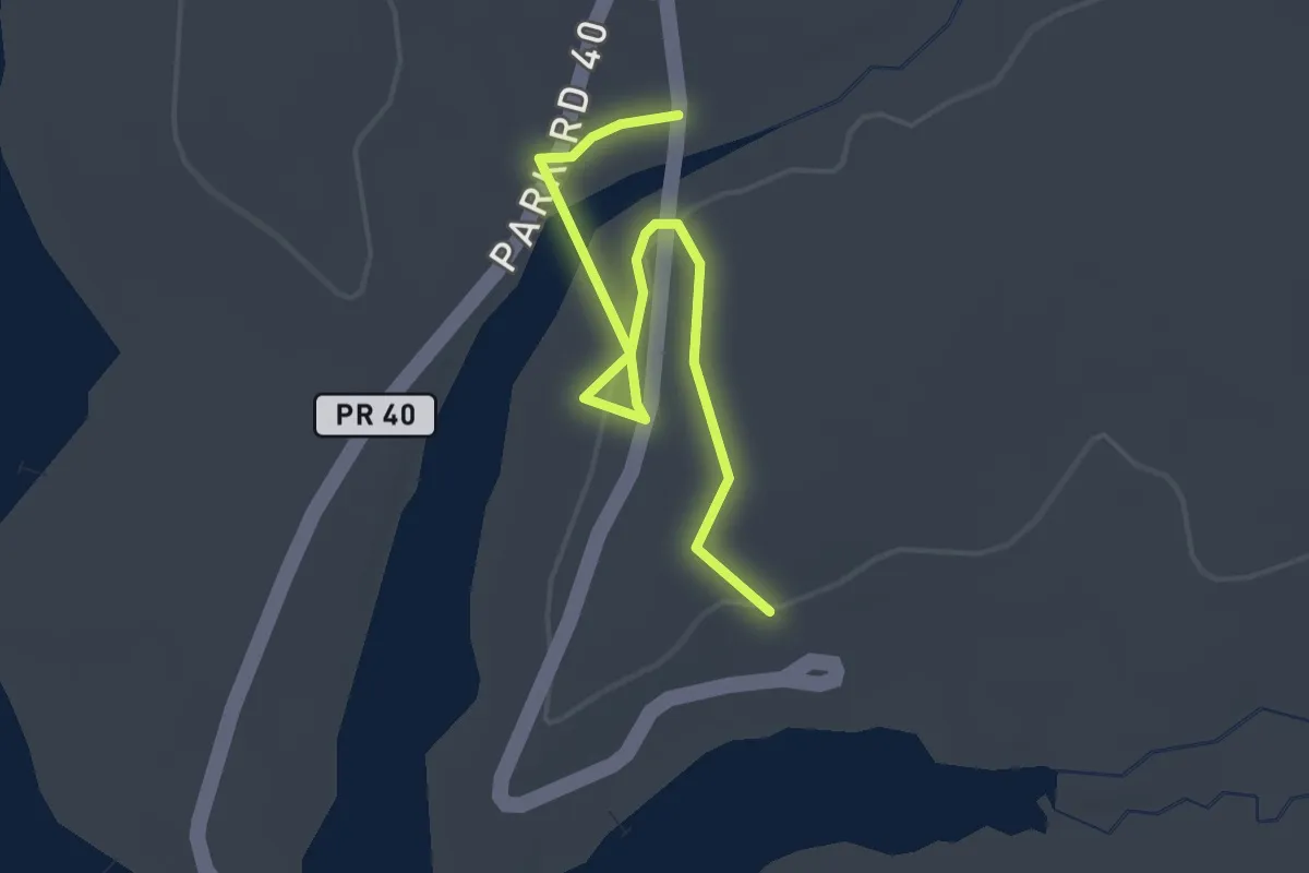
Easy · Trail
Coloneh Trail
3.2 km · ↑ 34 m · 49 min
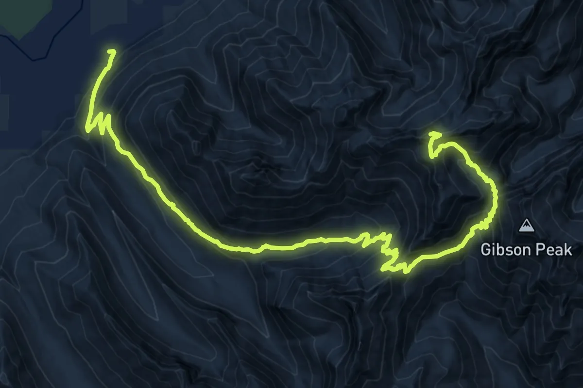
Demanding · Summit
Colonel Bob Trail #851
21.0 km · ↑ 1864 m · 8 h 59 min
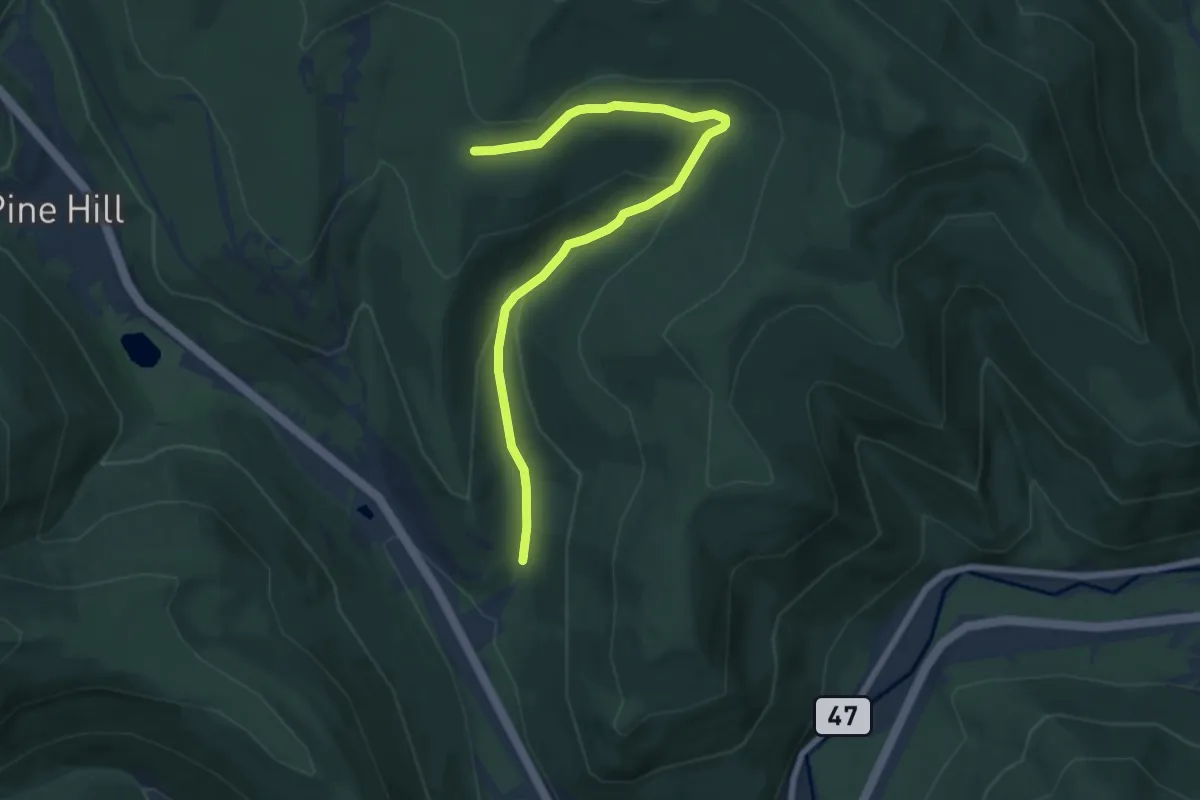
Medium · Trail
Colonel Rochester Trail
8.0 km · ↑ 256 m · 2 h 27 min
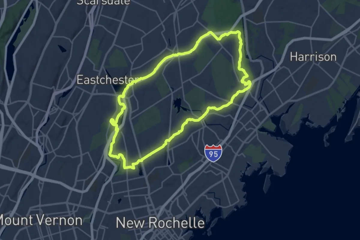
Demanding · Trail
Colonial Greenway
19.9 km · ↑ 236 m · 5 h 29 min
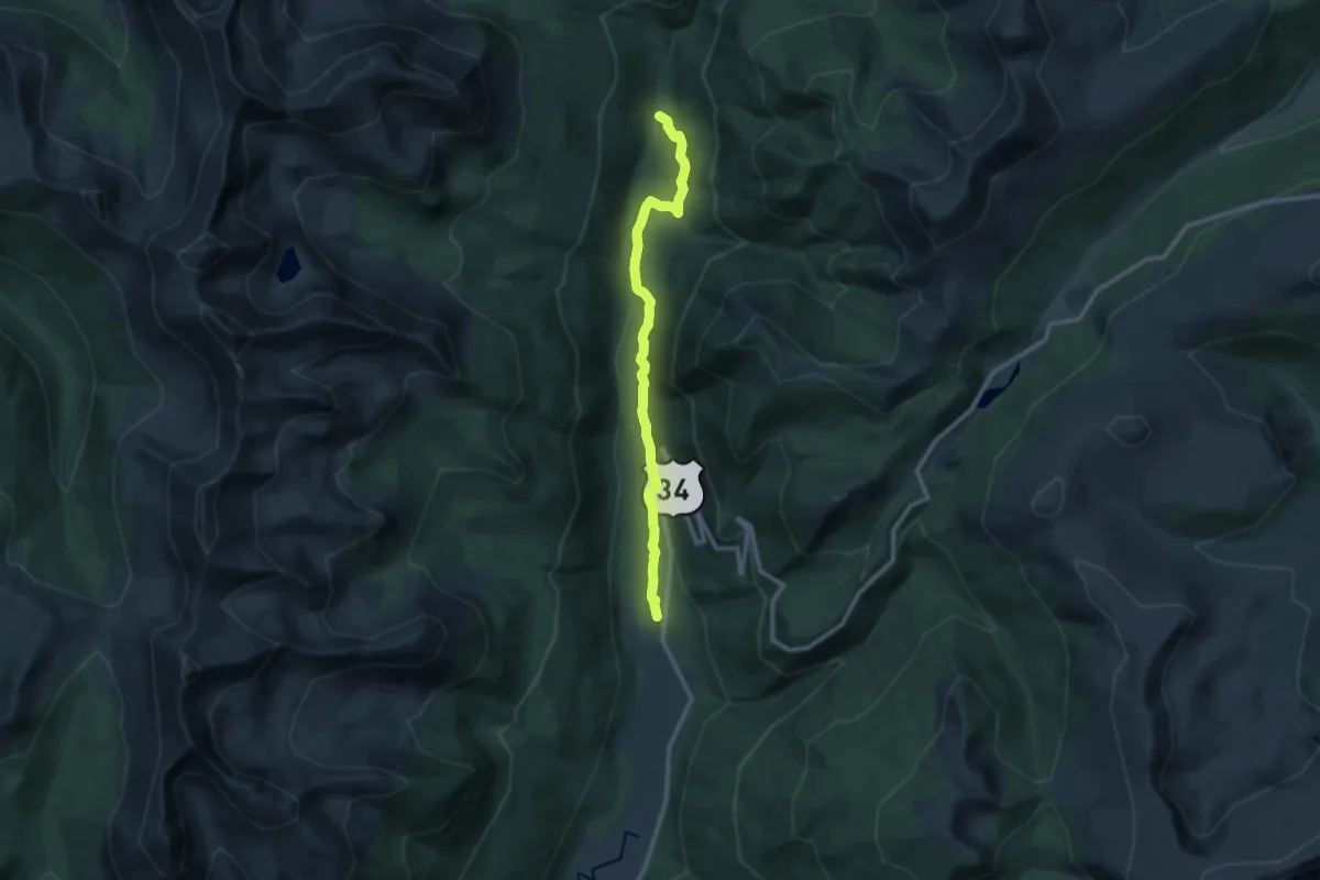
Medium · Trail
Colorado River Trail
11.7 km · ↑ 291 m · 3 h 24 min
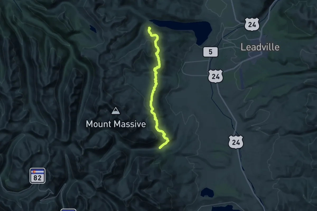
Medium · Trail
Colorado Trail Seg. 10 Hagerman Pass Road to Halfmoon Creek
17.5 km · ↑ 718 m · 5 h 54 min
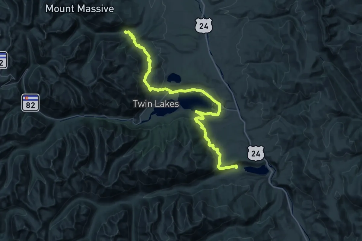
Expert · Trail
Colorado Trail Seg. 11 Half Moon Creek to Clear Creek Road
33.7 km · ↑ 764 m · 10 h 15 min
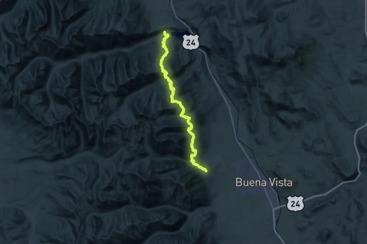
Demanding · Trail
Colorado Trail Seg. 12 Clear Creek to North Cottonwood Creek Road
30.2 km · ↑ 1384 m · 10 h 35 min
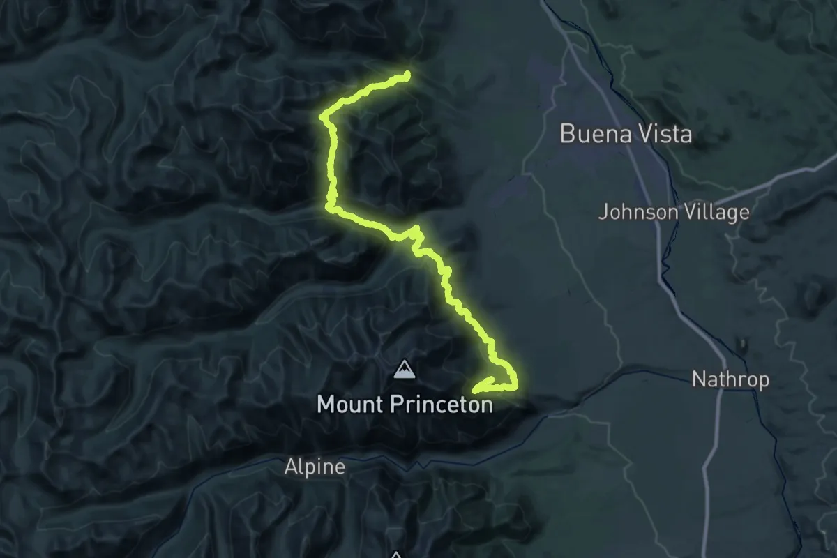
Demanding · Trail
Colorado Trail Seg. 13 North Cottonwood Creek Road to Chalk Creek Trailhead
29.5 km · ↑ 1212 m · 10 h 14 min
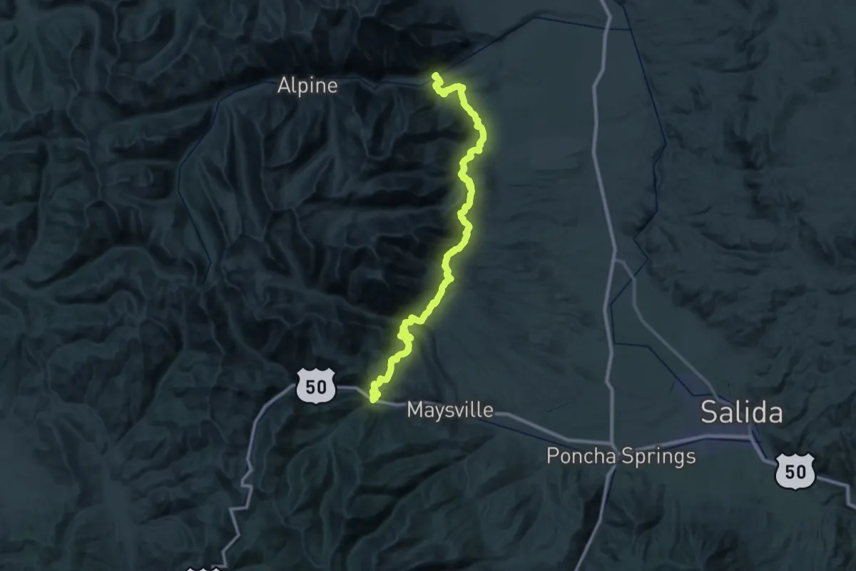
Demanding · Trail
Colorado Trail Seg. 14 Chalk Creek Trailhead to US-50
32.3 km · ↑ 1034 m · 10 h 23 min
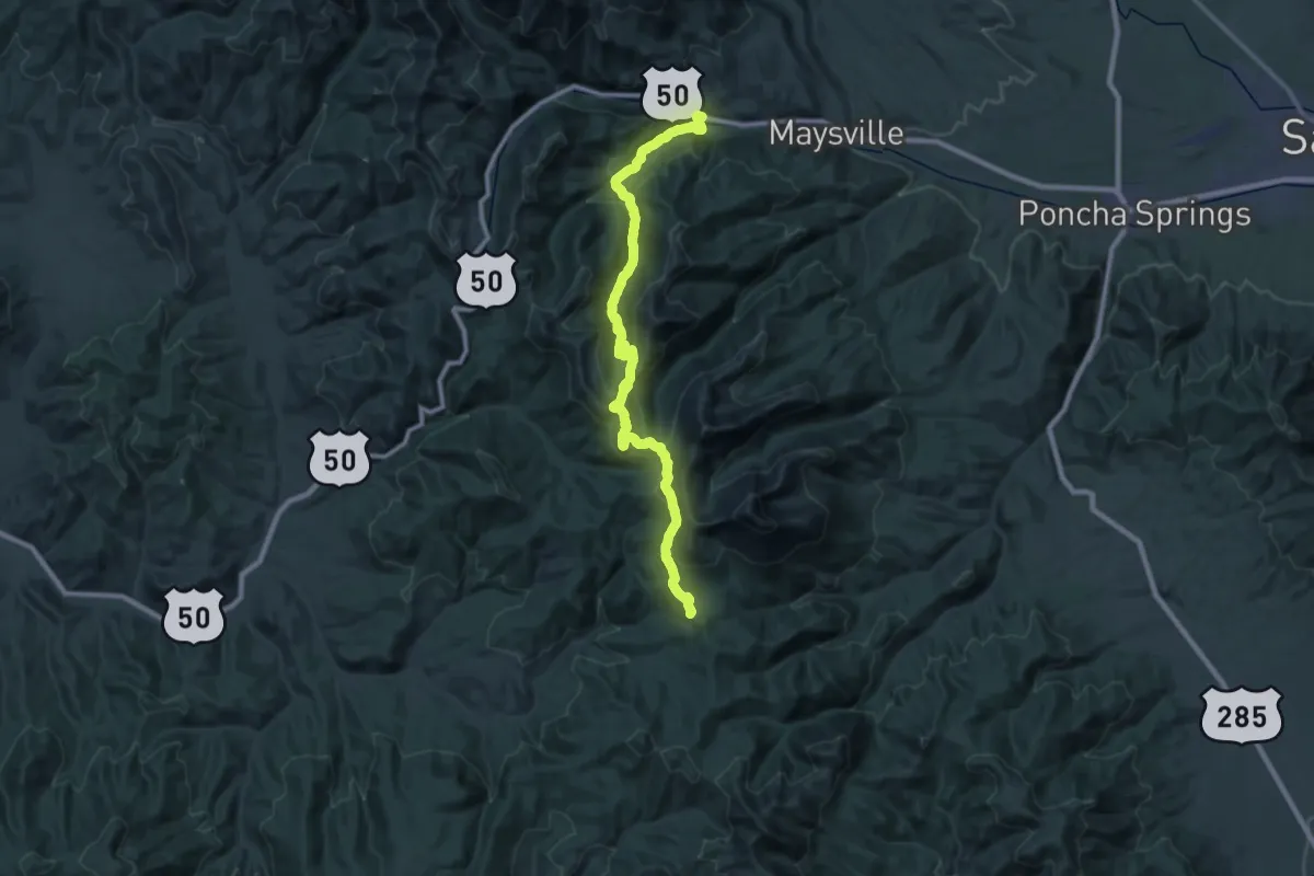
Expert · Trail
Colorado Trail Seg. 15 US-50 to Marshall Pass
26.0 km · ↑ 491 m · 7 h 53 min
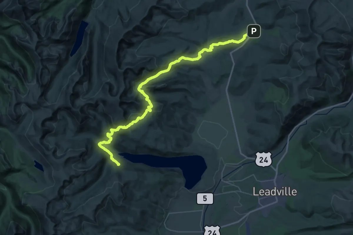
Demanding · Trail
Colorado Trail Seg. 9 Tennessee Pass to Hagerman Pass Road
23.5 km · ↑ 849 m · 7 h 44 min
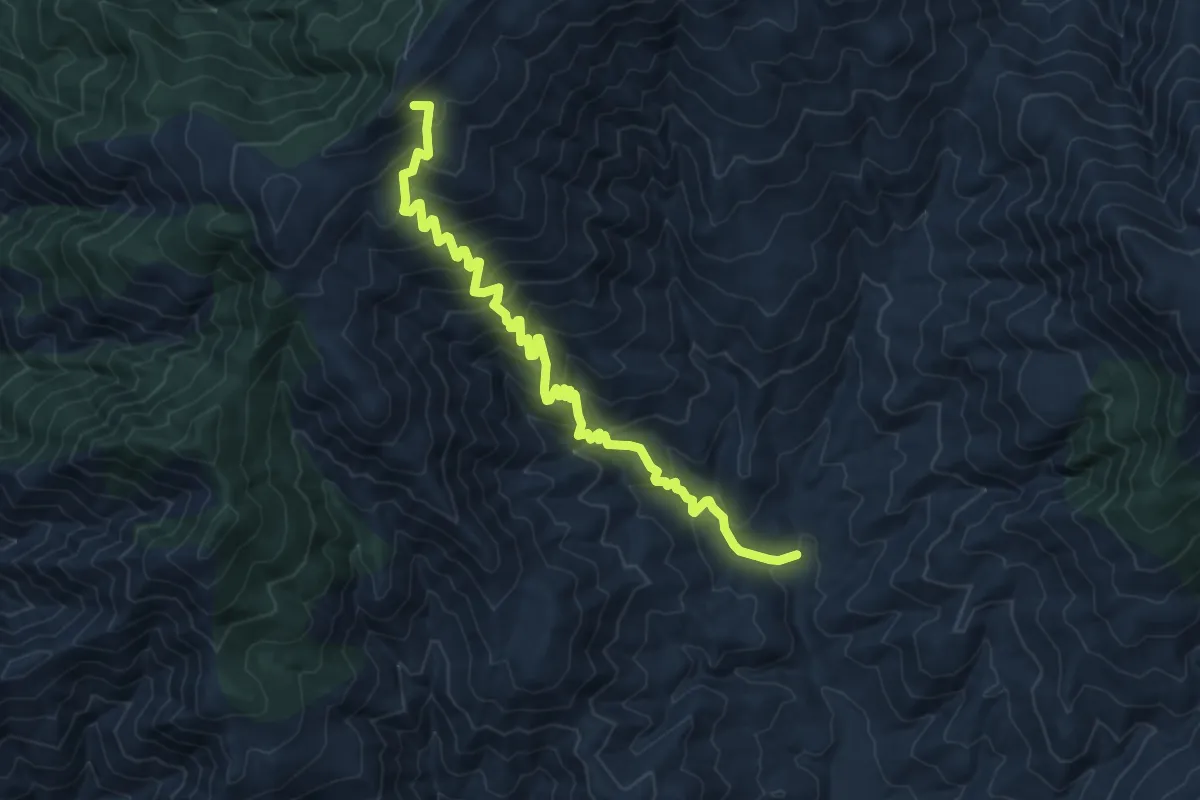
Medium · Trail
Colter Spring Trail #312
9.1 km · ↑ 732 m · 3 h 44 min
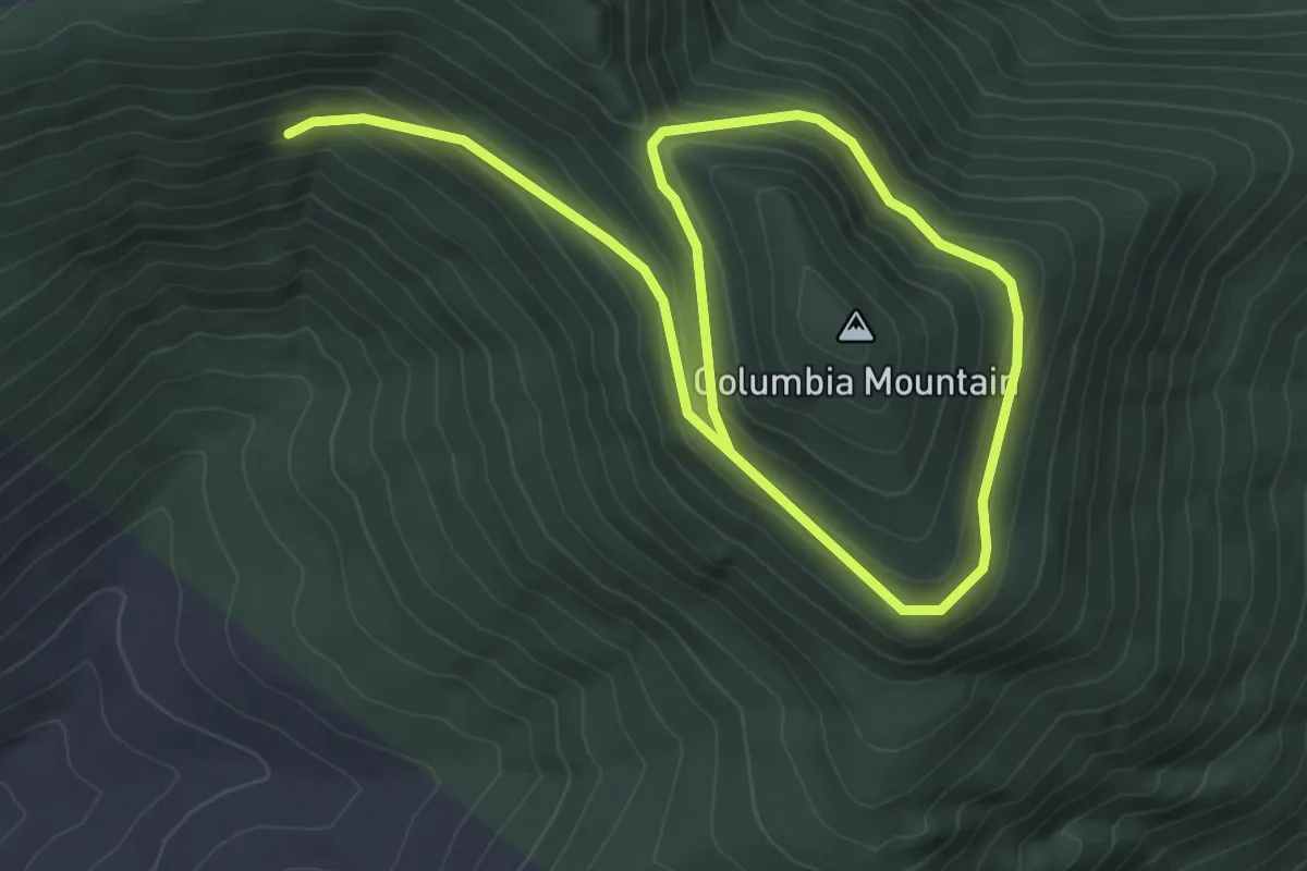
Easy · Trail
Columbia Mountain Loop
6.3 km · ↑ 227 m · 1 h 58 min
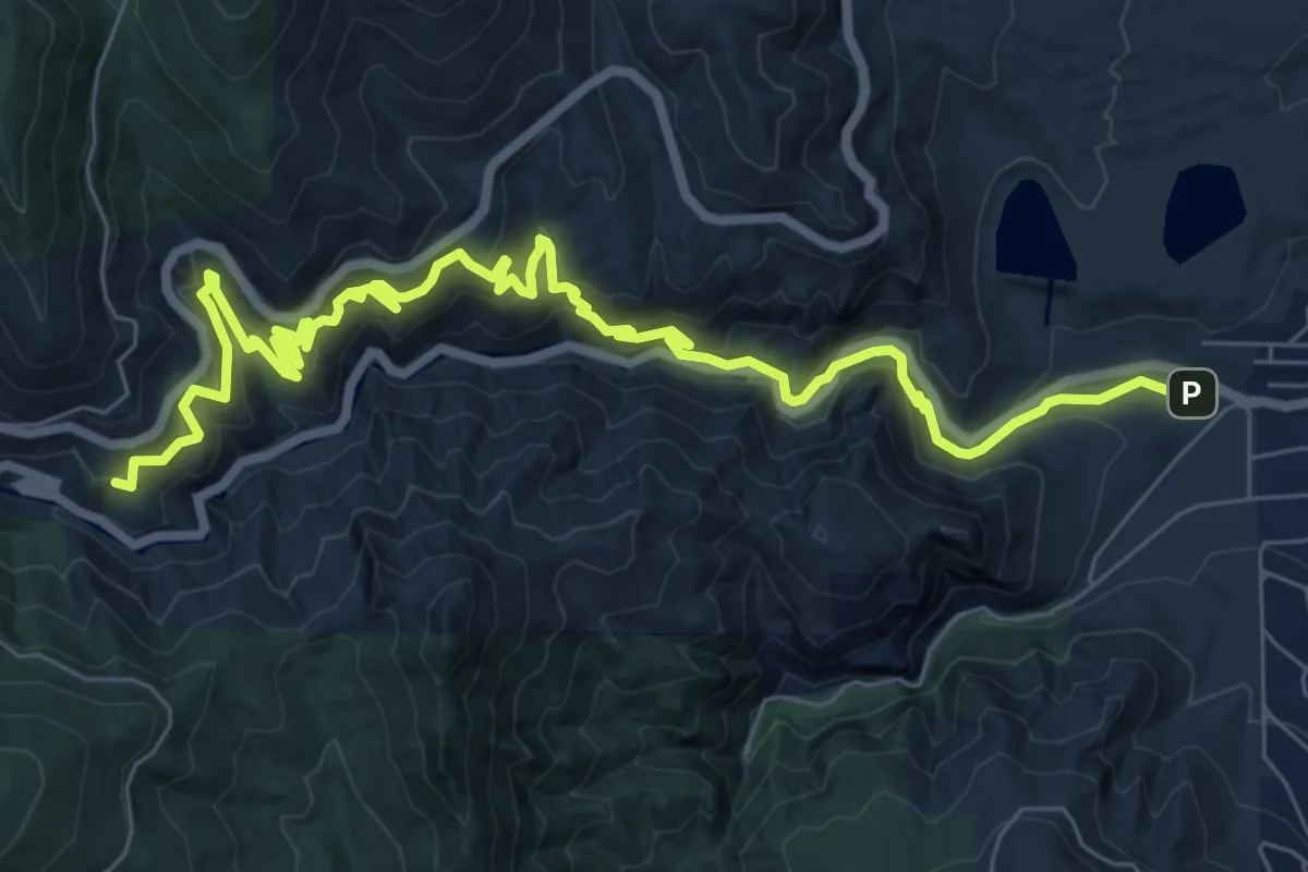
Medium · Trail
Columbine Trail
11.9 km · ↑ 547 m · 4 h
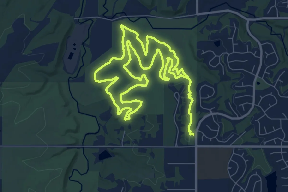
Medium · Trail
Columbine Trail
17.7 km · ↑ 131 m · 4 h 27 min
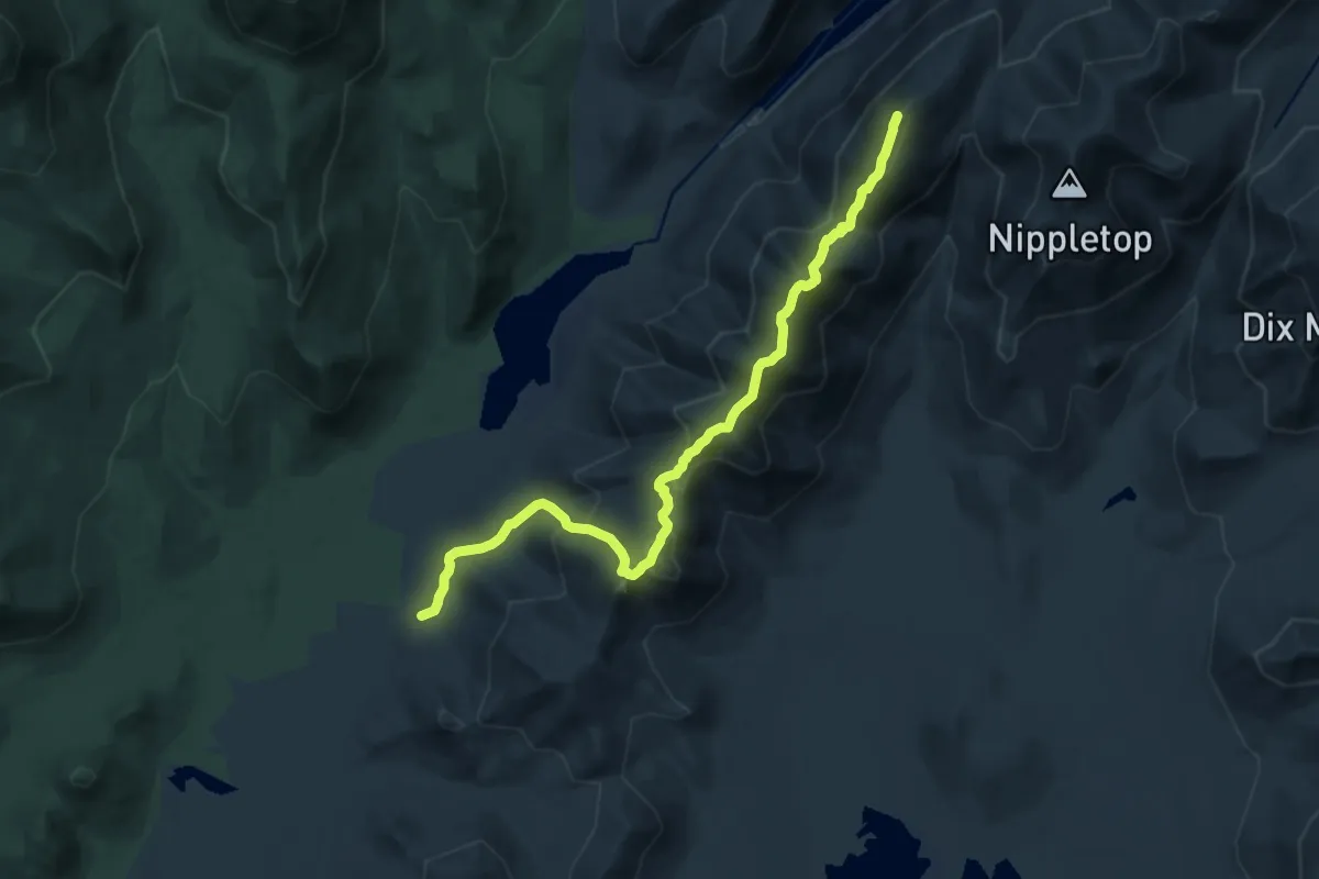
Demanding · Summit
Colvin Range Trail
15.5 km · ↑ 1297 m · 6 h 28 min
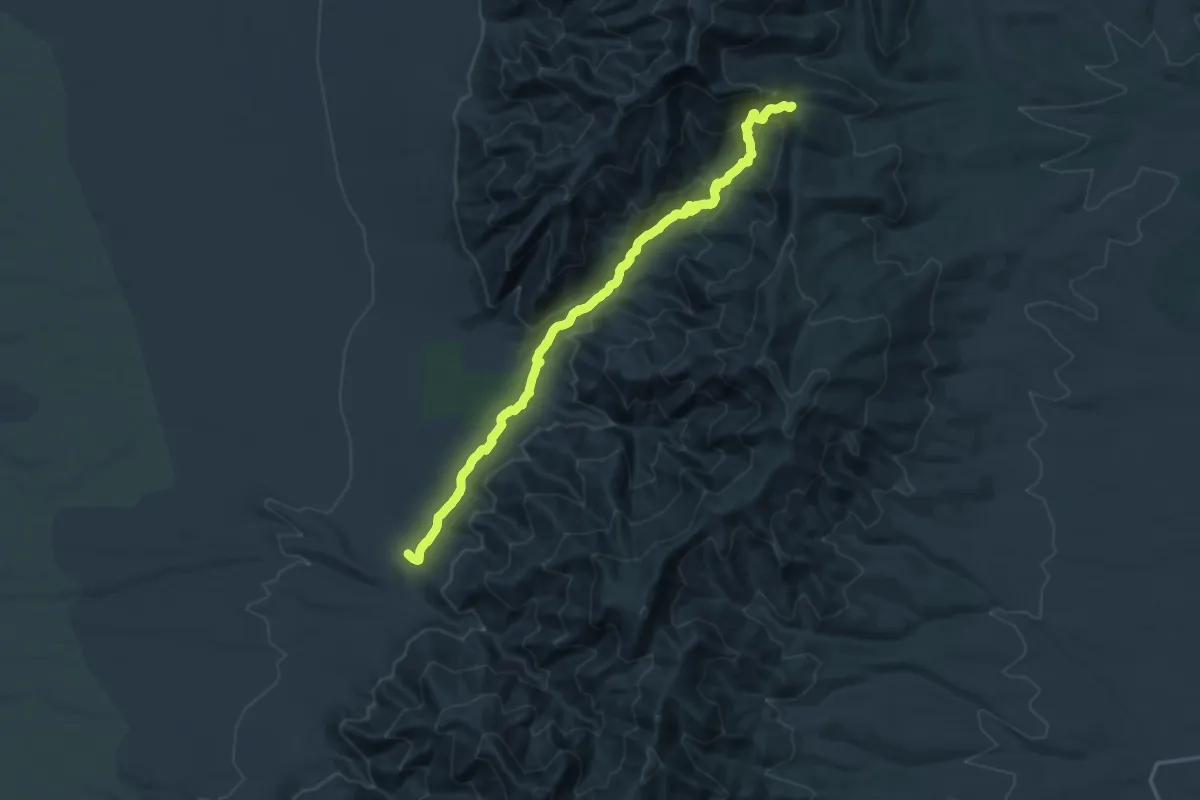
Demanding · Trail
Comanche Canyon Trail
21.6 km · ↑ 751 m · 6 h 43 min
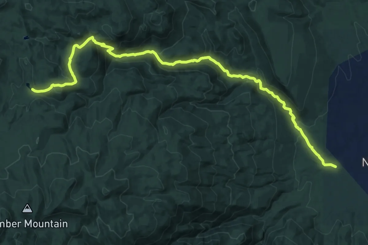
Demanding · Trail
Comanche Trail
18.6 km · ↑ 805 m · 6 h 8 min
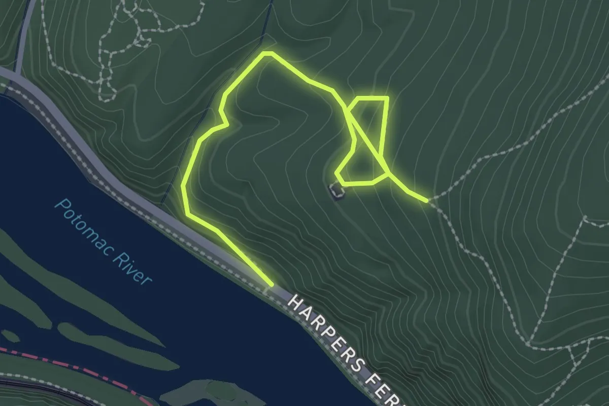
Easy · Trail
Combined Trail
3.3 km · ↑ 223 m · 1 h 16 min
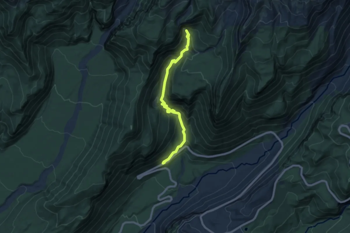
Medium · Trail
Comet Falls Trail
5.5 km · ↑ 387 m · 2 h 9 min
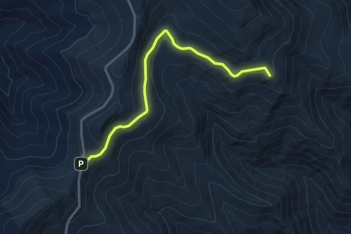
Easy · Summit
Commissary Trail
6.5 km · ↑ 131 m · 1 h 50 min
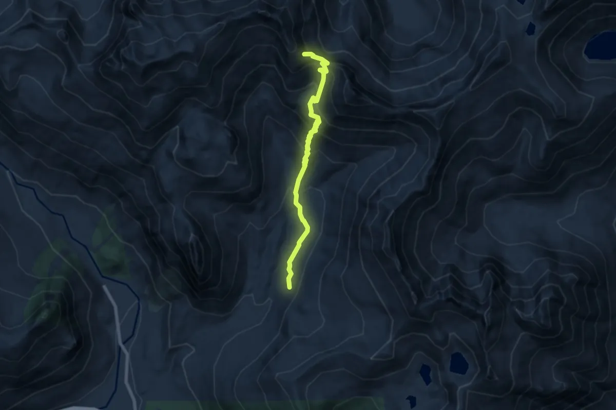
Medium · Trail
Commonwealth Basin Trail
6.2 km · ↑ 542 m · 2 h 39 min
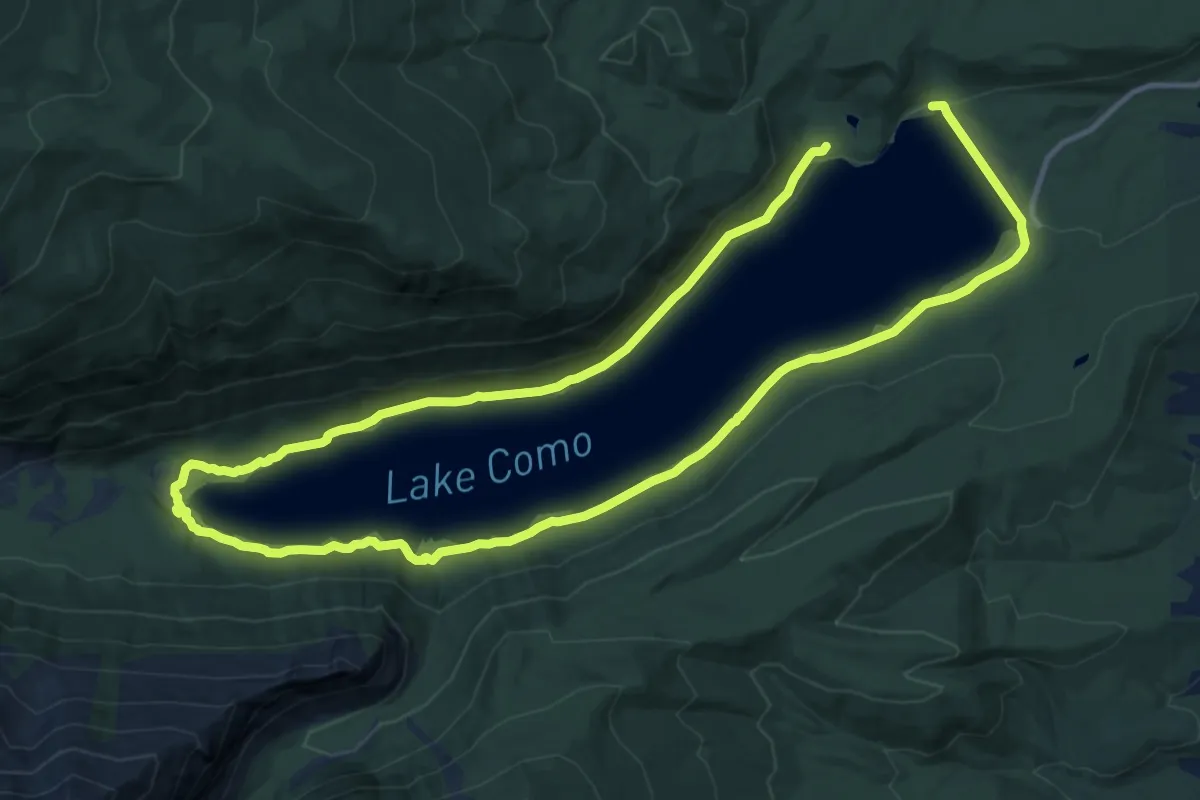
Demanding · Trail
Como Lake Loop National Recreation Trail
23.2 km · ↑ 238 m · 6 h
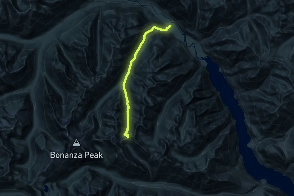
Demanding · Trail
Company Creek Trail
16.3 km · ↑ 1735 m · 7 h 2 min
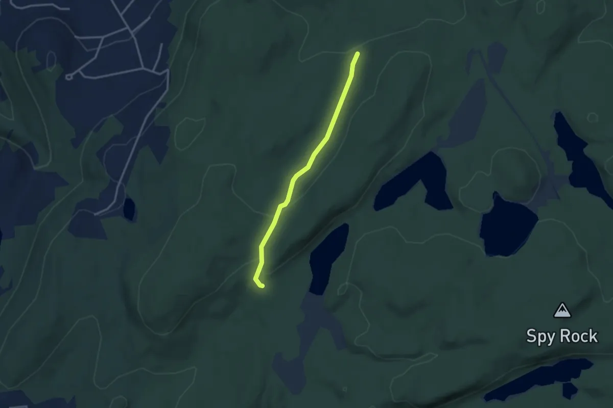
Easy · Trail
Compartment Trail
2.9 km · ↑ 62 m · 49 min