Trails in United States
10,332 hiking trails, each with its route, climb, walking time and grade.
All trails, page 47 of 216
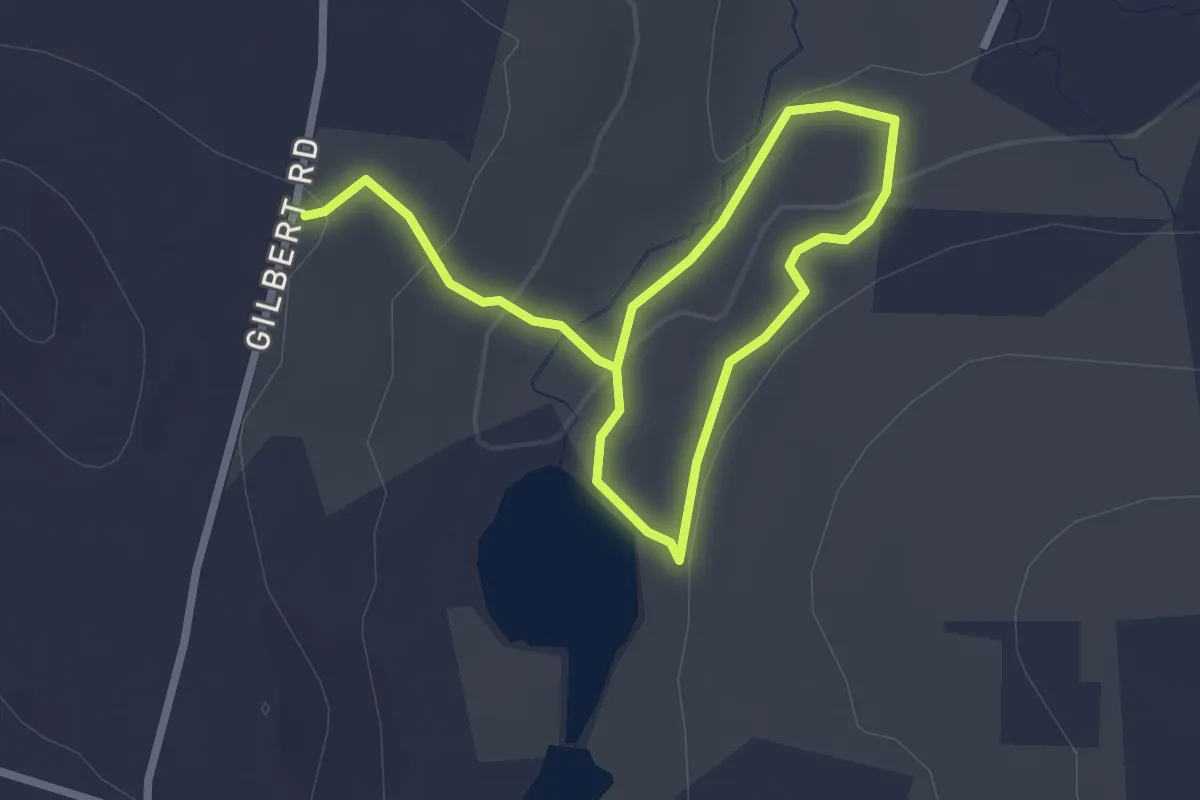
Easy · Trail
Culver Pond White Trail
4.0 km · ↑ 114 m · 1 h 12 min
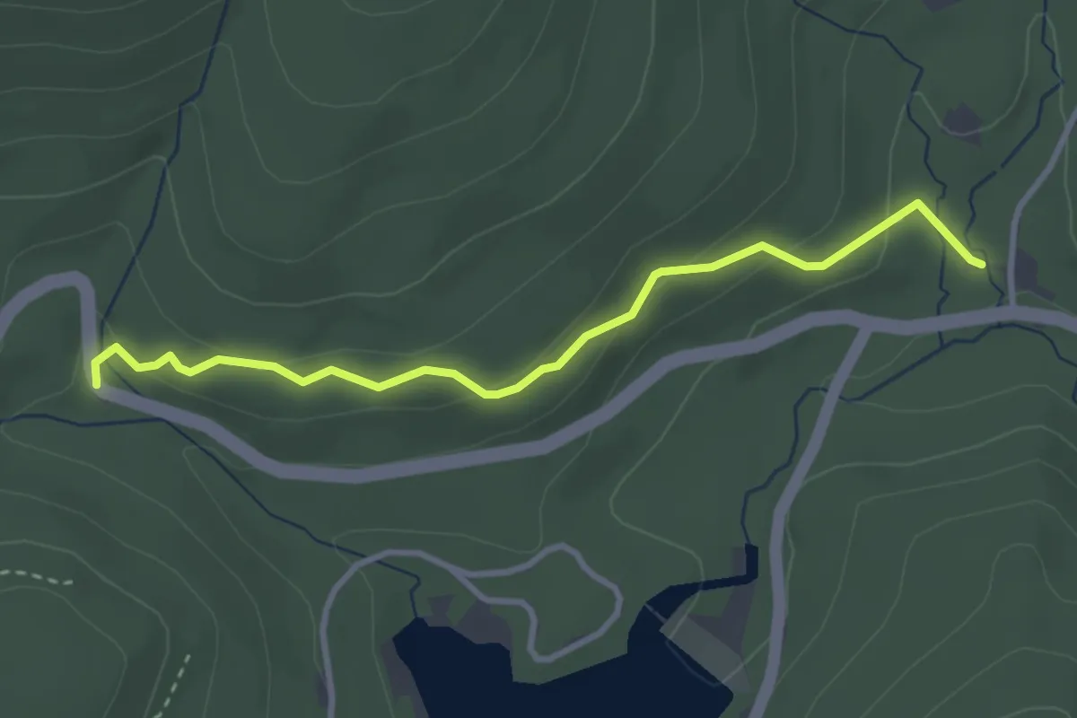
Medium · Trail
Cunningham Falls Nature Trail
1.8 km · ↑ 32 m · 33 min
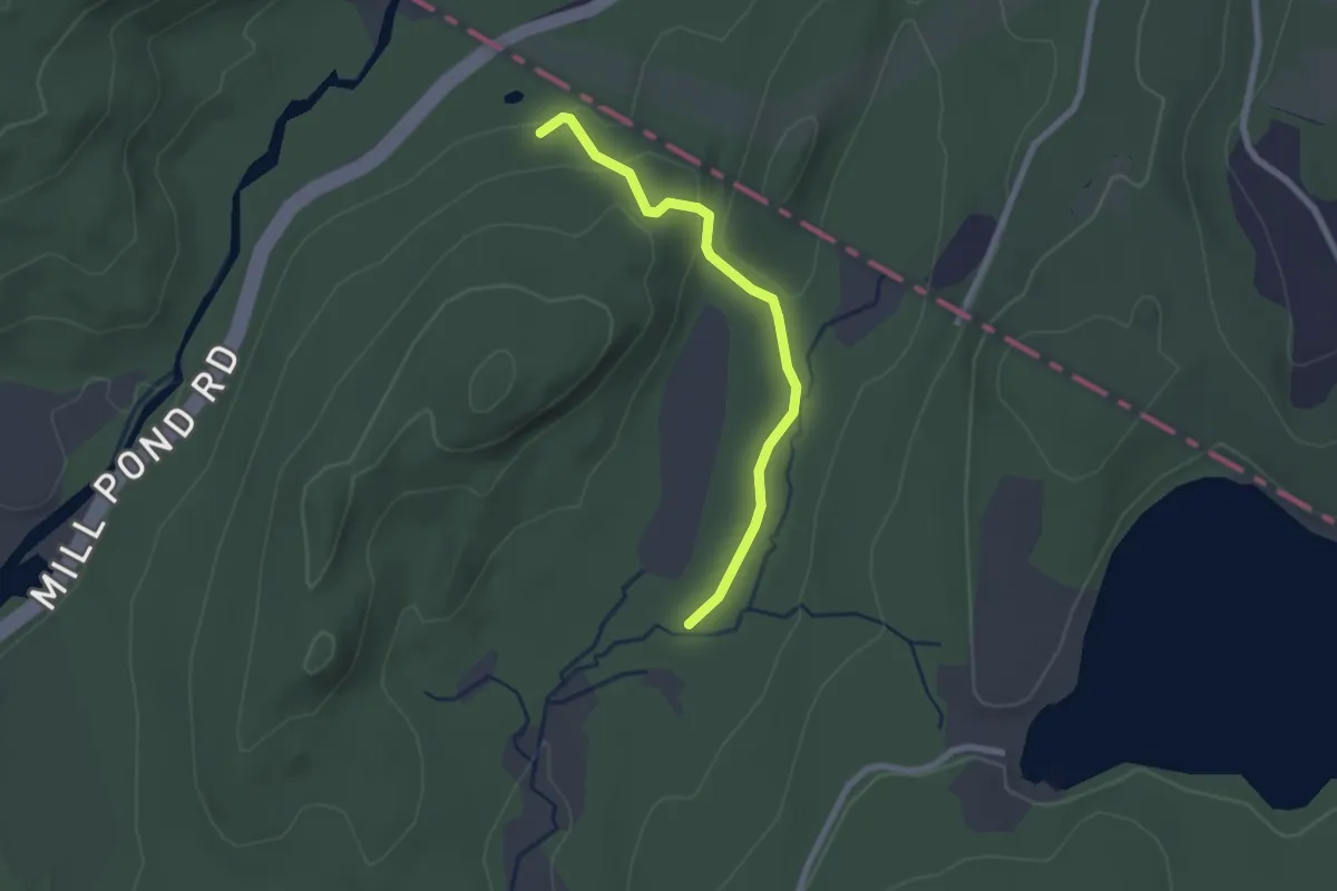
Easy · Trail
Cupsaw Brook Trail
2.3 km · ↑ 46 m · 39 min
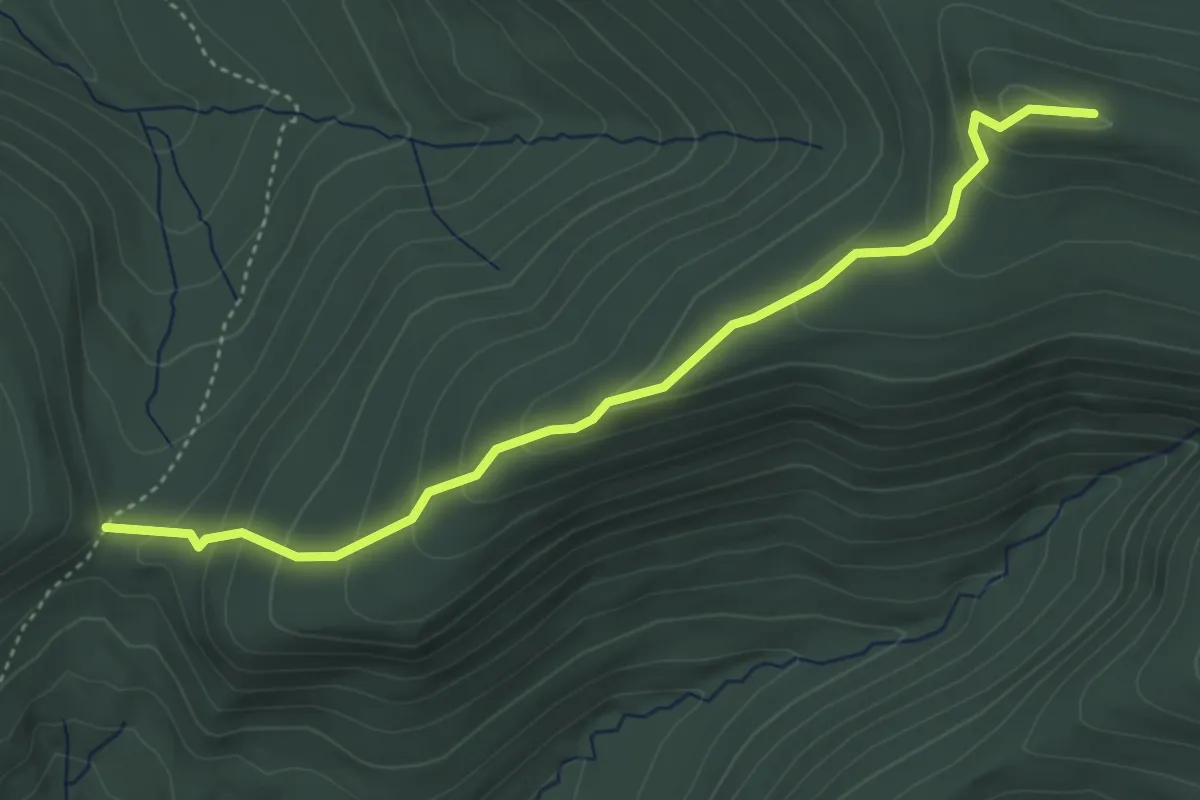
Easy · Trail
Curtis - Ormsbee Trail
4.7 km · ↑ 267 m · 1 h 41 min
Easy · Trail
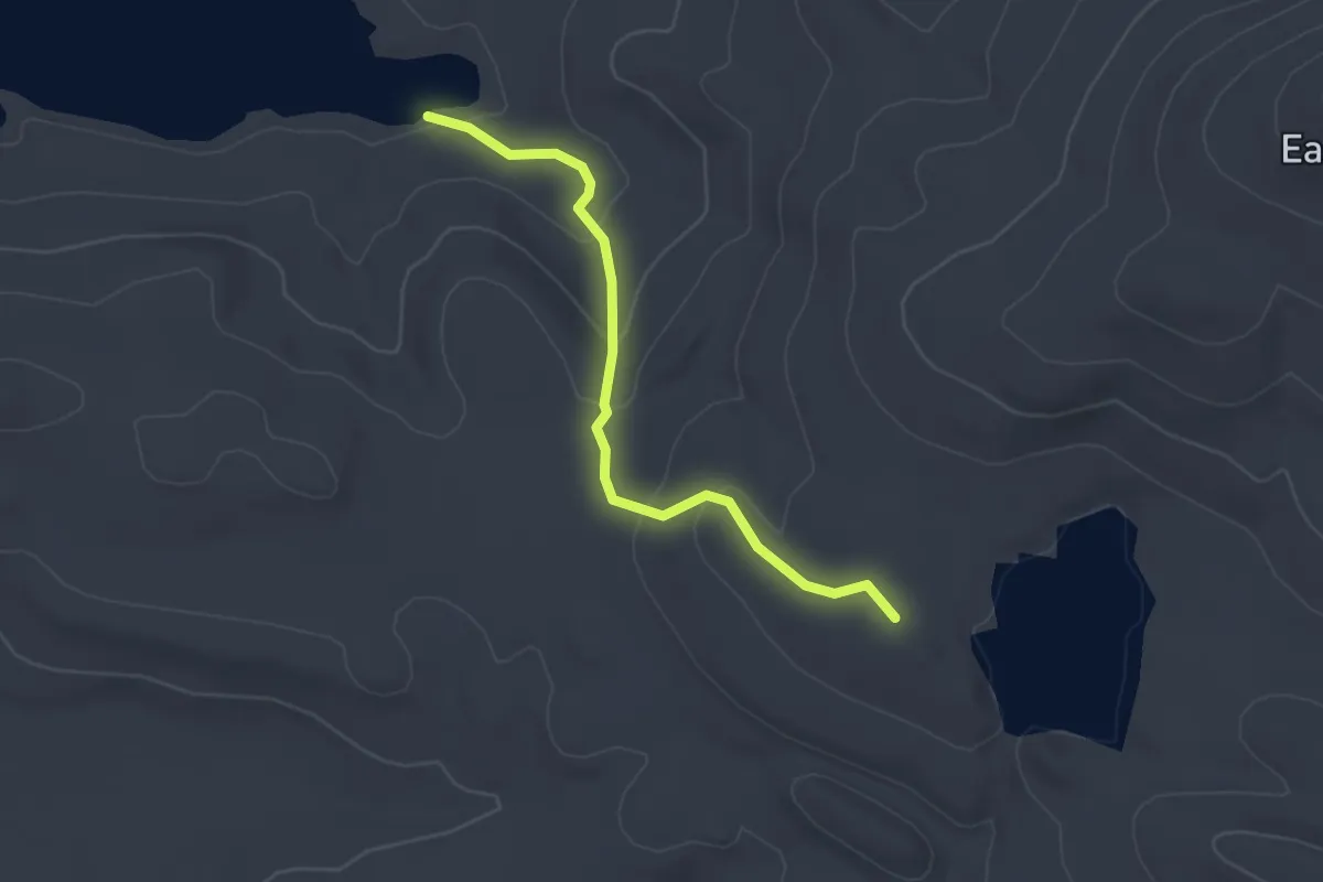
Curtis Pond Trail
2.9 km · ↑ 113 m · 55 min
Easy · Trail
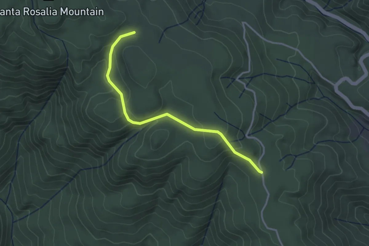
Cusack's Trail
3.4 km · ↑ 111 m · 1 h 3 min
Easy · Trail
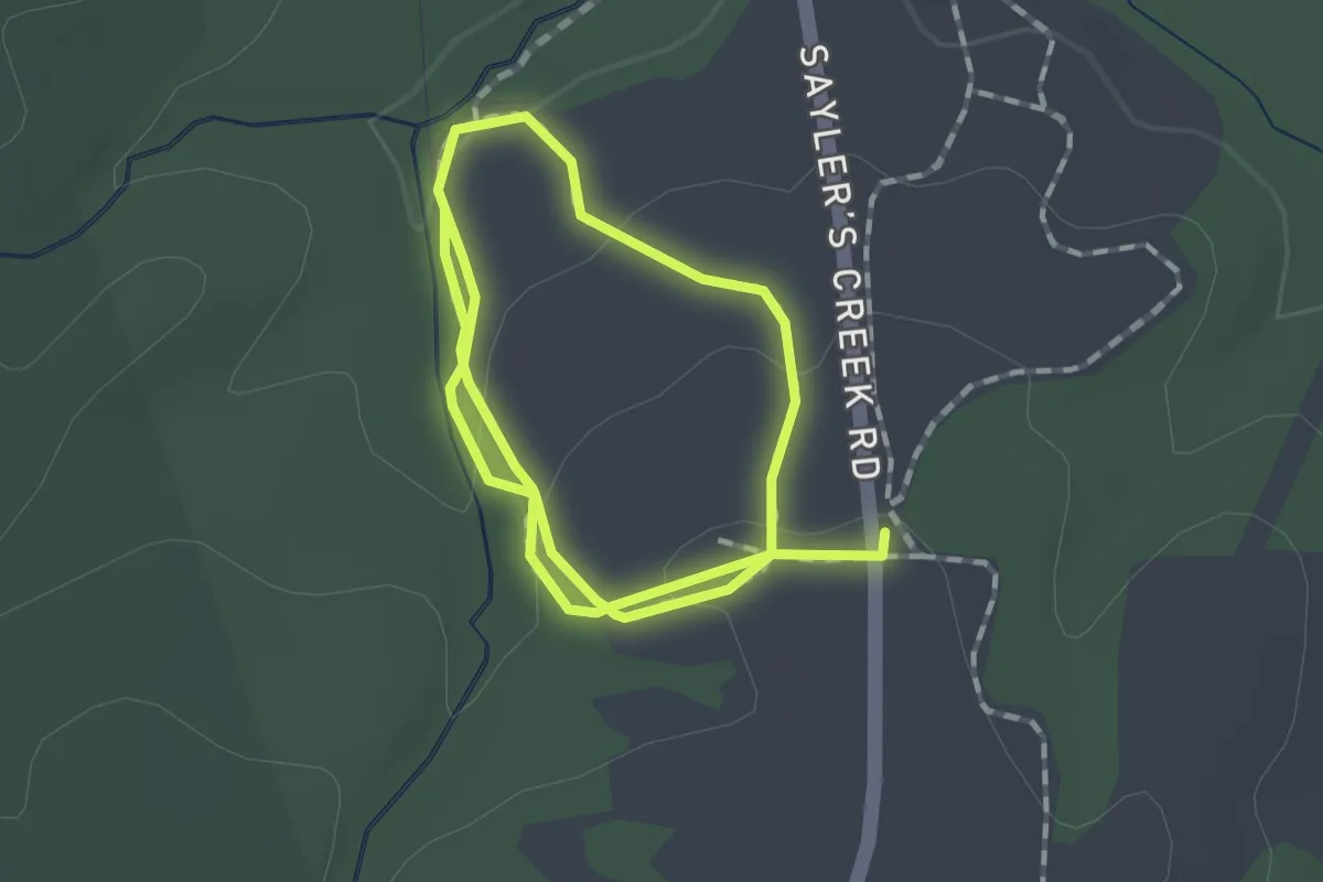
Custis Lee Trail
2.9 km · ↑ 83 m · 52 min
Medium · Trail
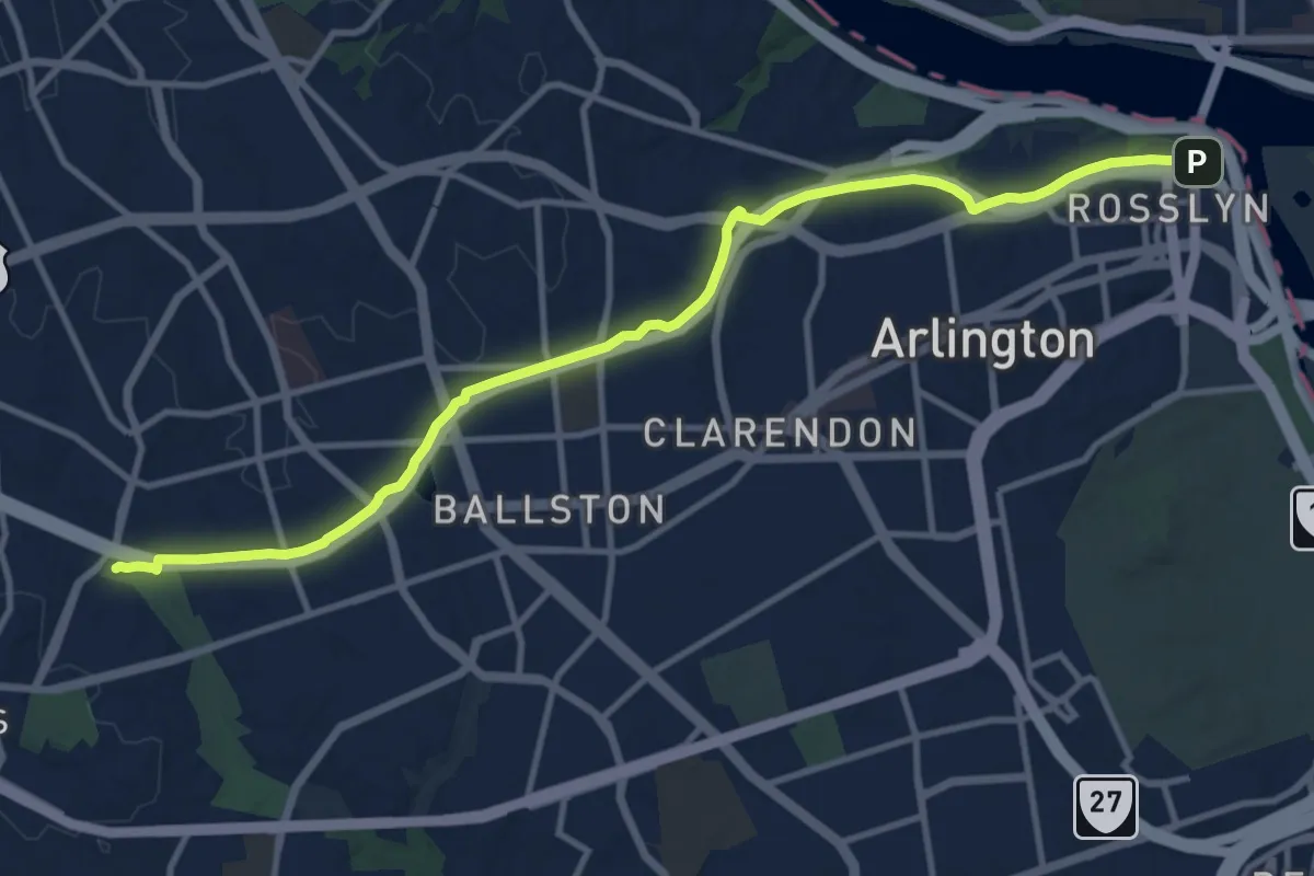
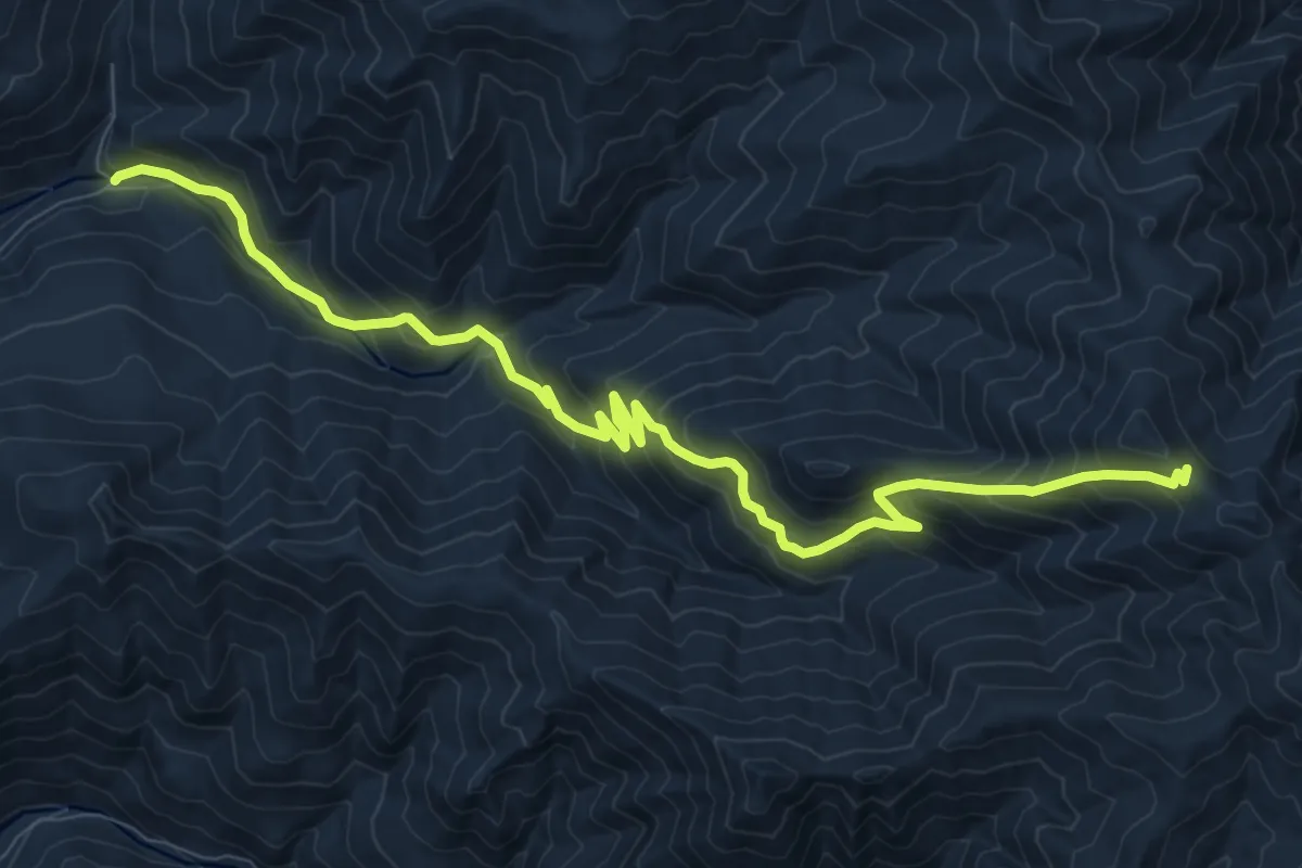
Custis Trail
14.2 km · ↑ 145 m · 3 h 40 min
Demanding · Trail
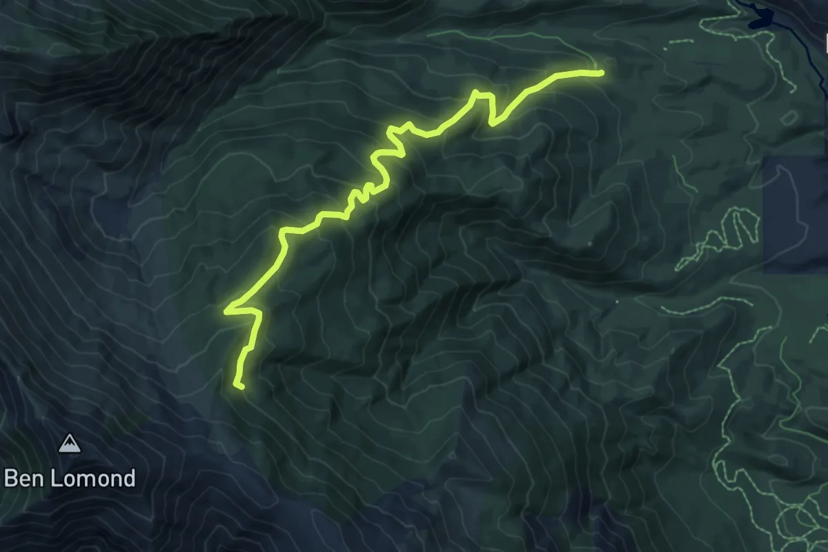
Cutler Creek Trail
12.2 km · ↑ 1127 m · 5 h 20 min
Medium · Cabin
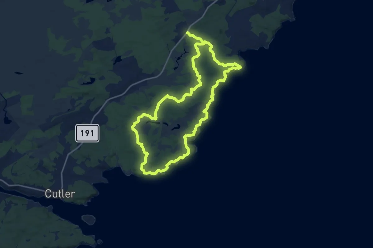
Cutler Ridge Trail
9.1 km · ↑ 663 m · 3 h 36 min
Demanding · Trail
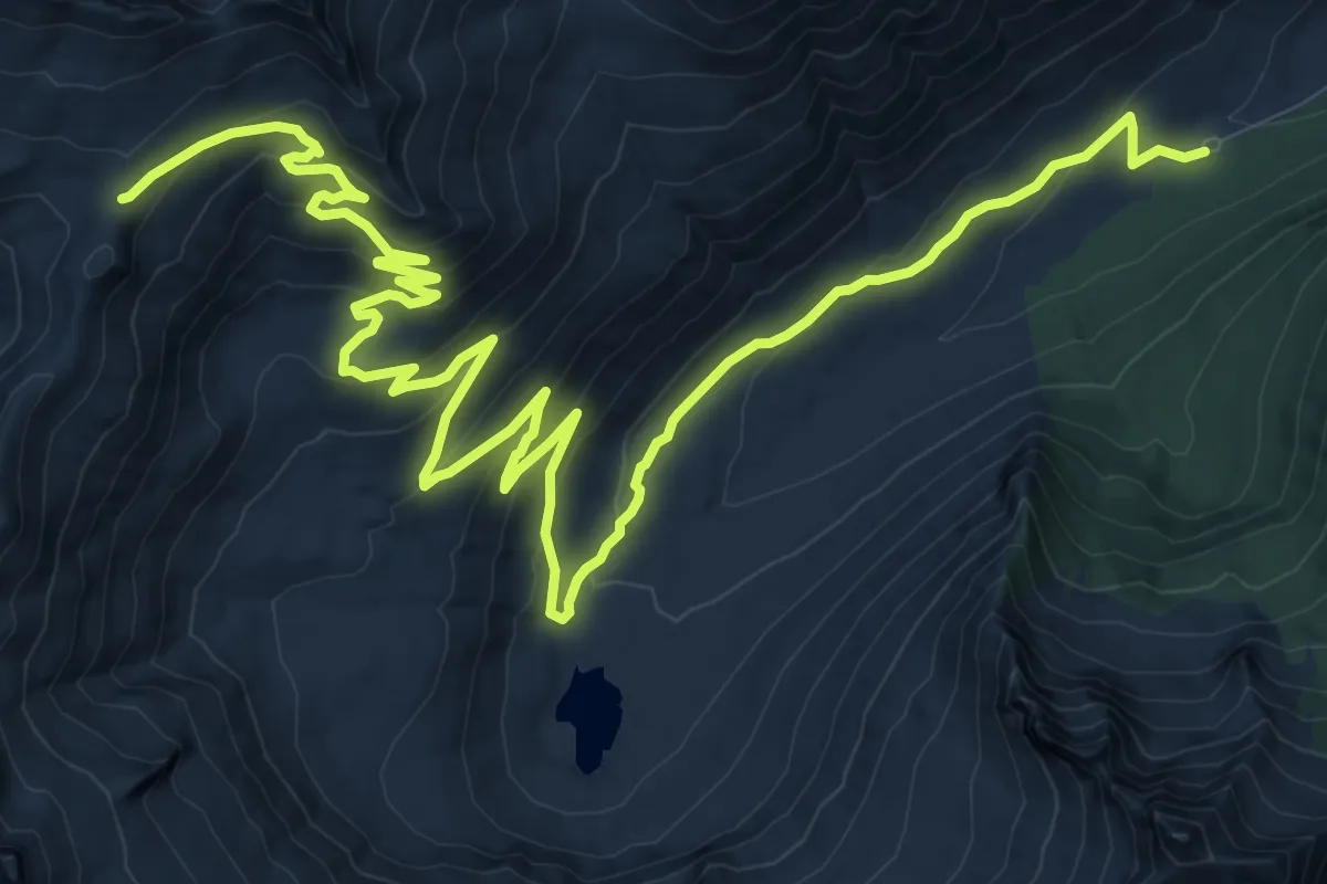
Cutter Loop Trail
28.0 km · ↑ 576 m · 7 h 52 min
Medium · Trail
Cutthroat Creek Trail
17.5 km · ↑ 716 m · 5 h 41 min
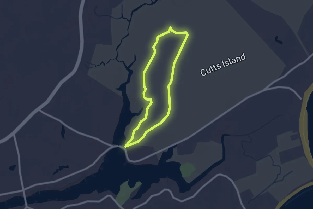
Easy · Trail
Cutts Island Trail
1.8 km · ↑ 6 m · 27 min
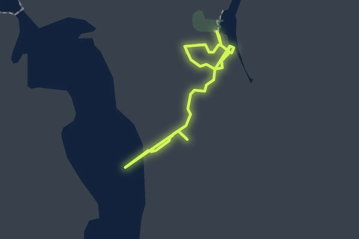
Easy · Trail
Cypress Boardwalk
2.8 km · ↑ 0 m · 39 min
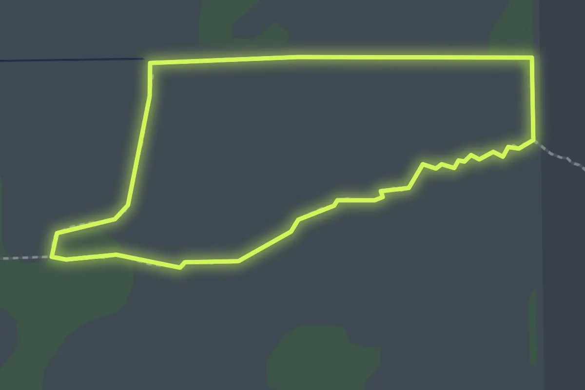
Easy · Trail
Cypress Loop
2.6 km · ↑ 0 m · 39 min
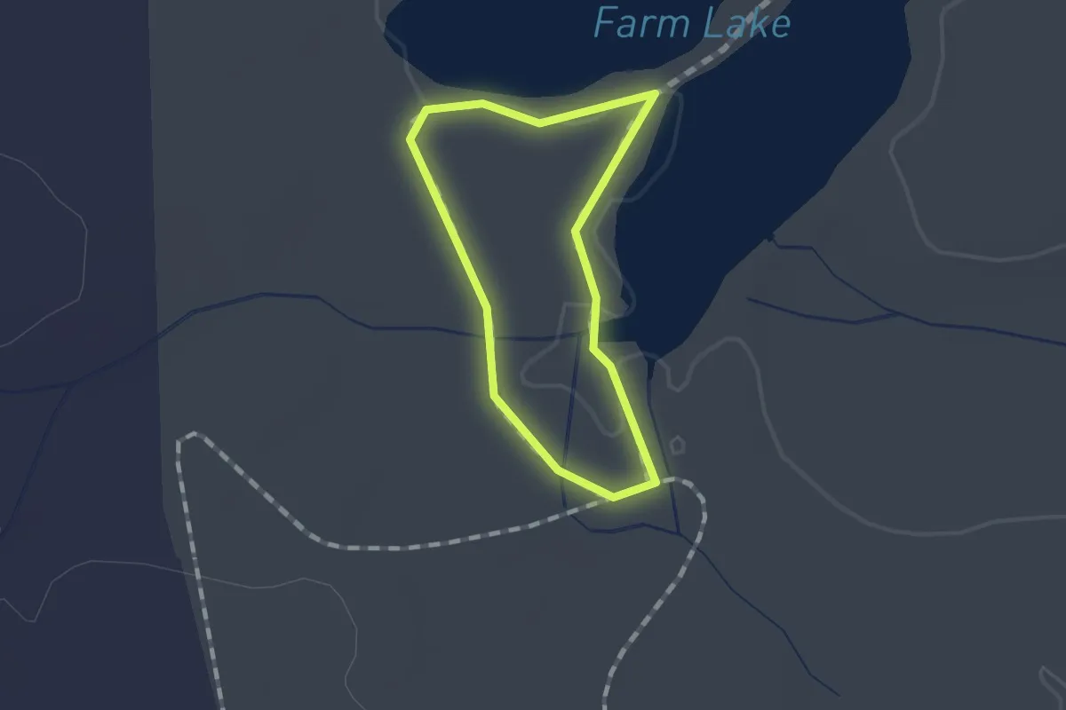
Easy · Trail
Cypress Point Loop Trail
1.1 km · ↑ 0 m · 16 min
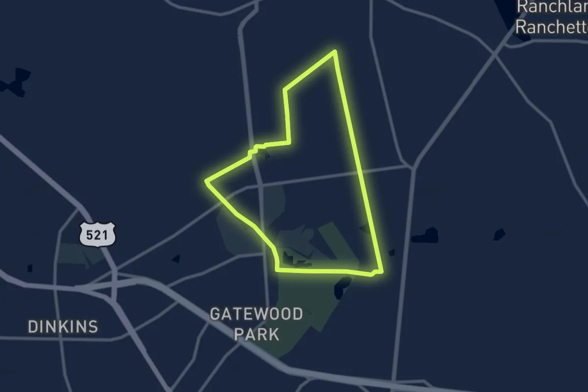
Medium · Trail
Cypress Trail
8.2 km · ↑ 4 m · 2 h 3 min
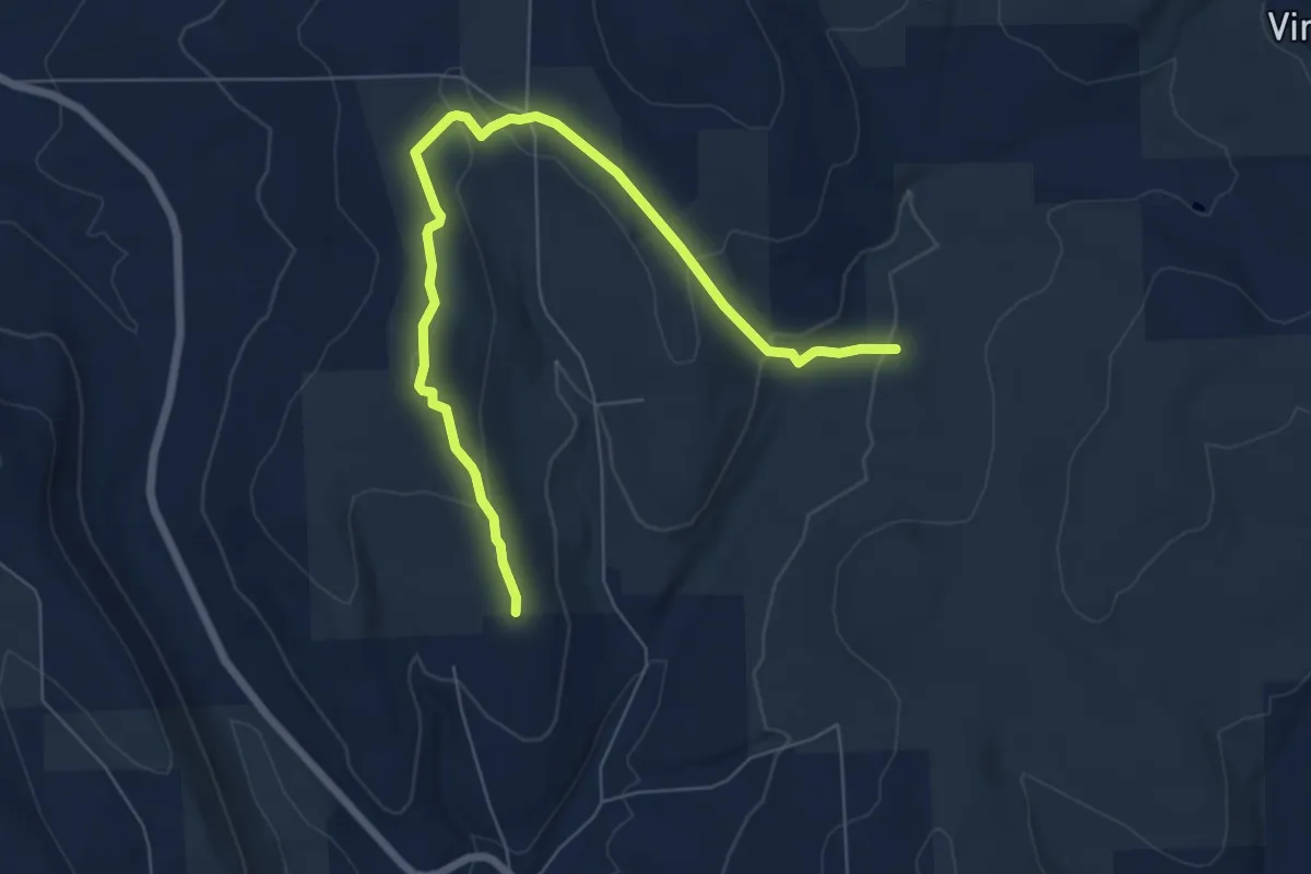
Medium · Trail
Dabes Diversion Loop
8.1 km · ↑ 245 m · 2 h 26 min
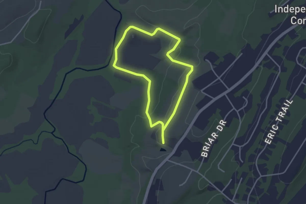
Easy · Trail
Dagmar Dale Trail North Loop
2.8 km · ↑ 50 m · 49 min
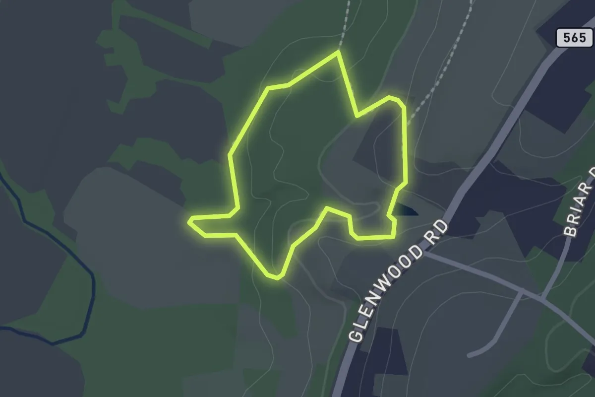
Easy · Trail
Dagmar Dale Trail South Loop
1.7 km · ↑ 54 m · 32 min
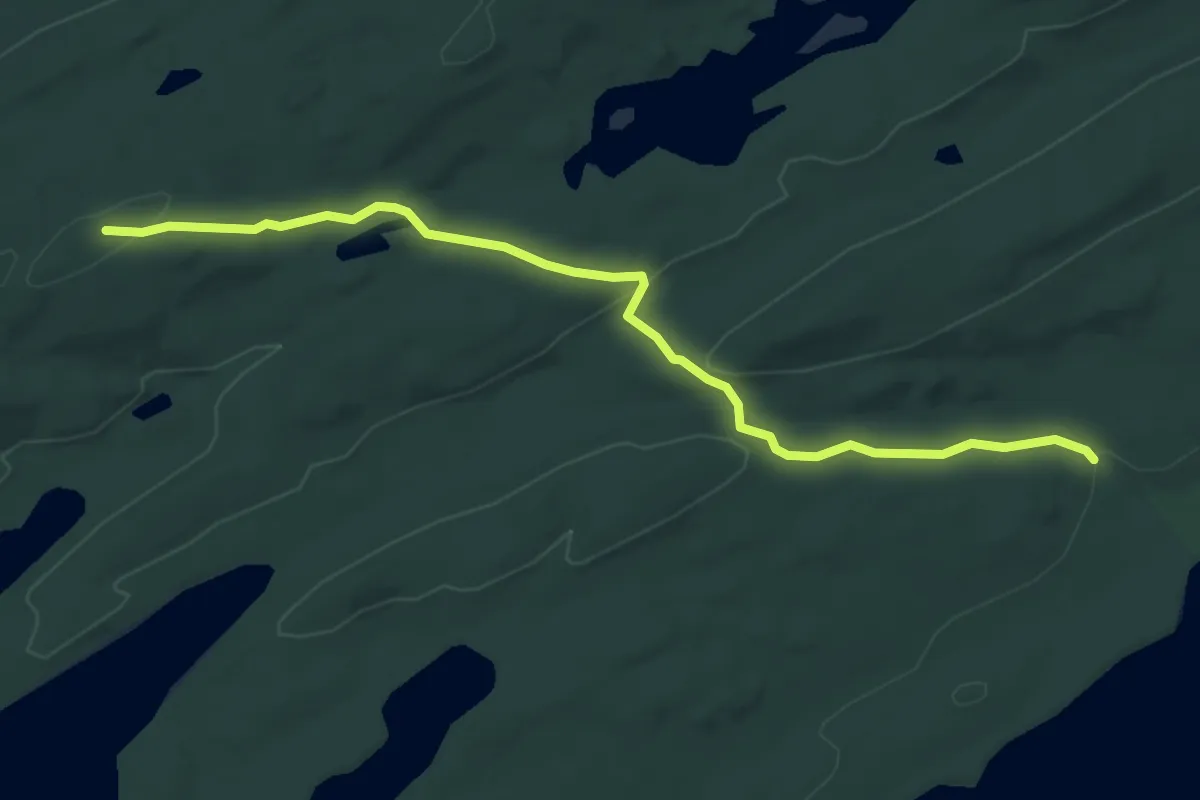
Easy · Trail
Daisy Farm Trail
5.3 km · ↑ 158 m · 1 h 35 min
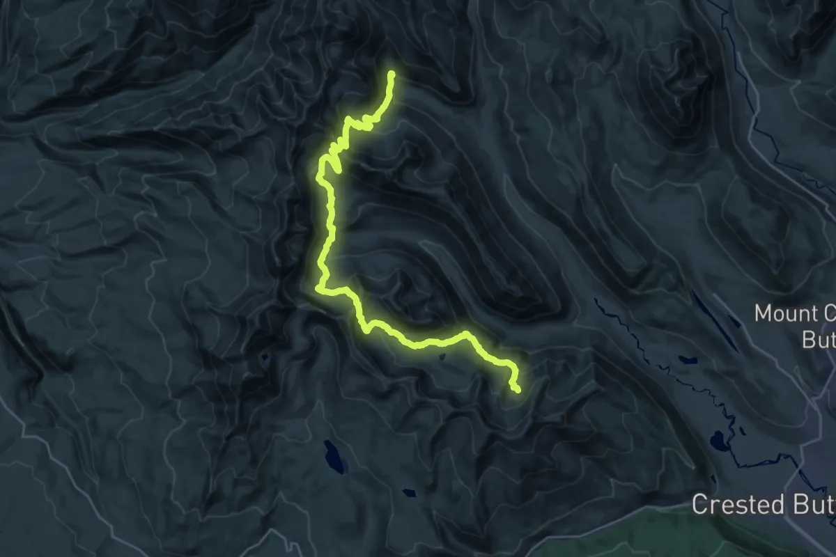
Demanding · Trail
Daisy Pass 404 Trail
16.0 km · ↑ 1168 m · 6 h 23 min
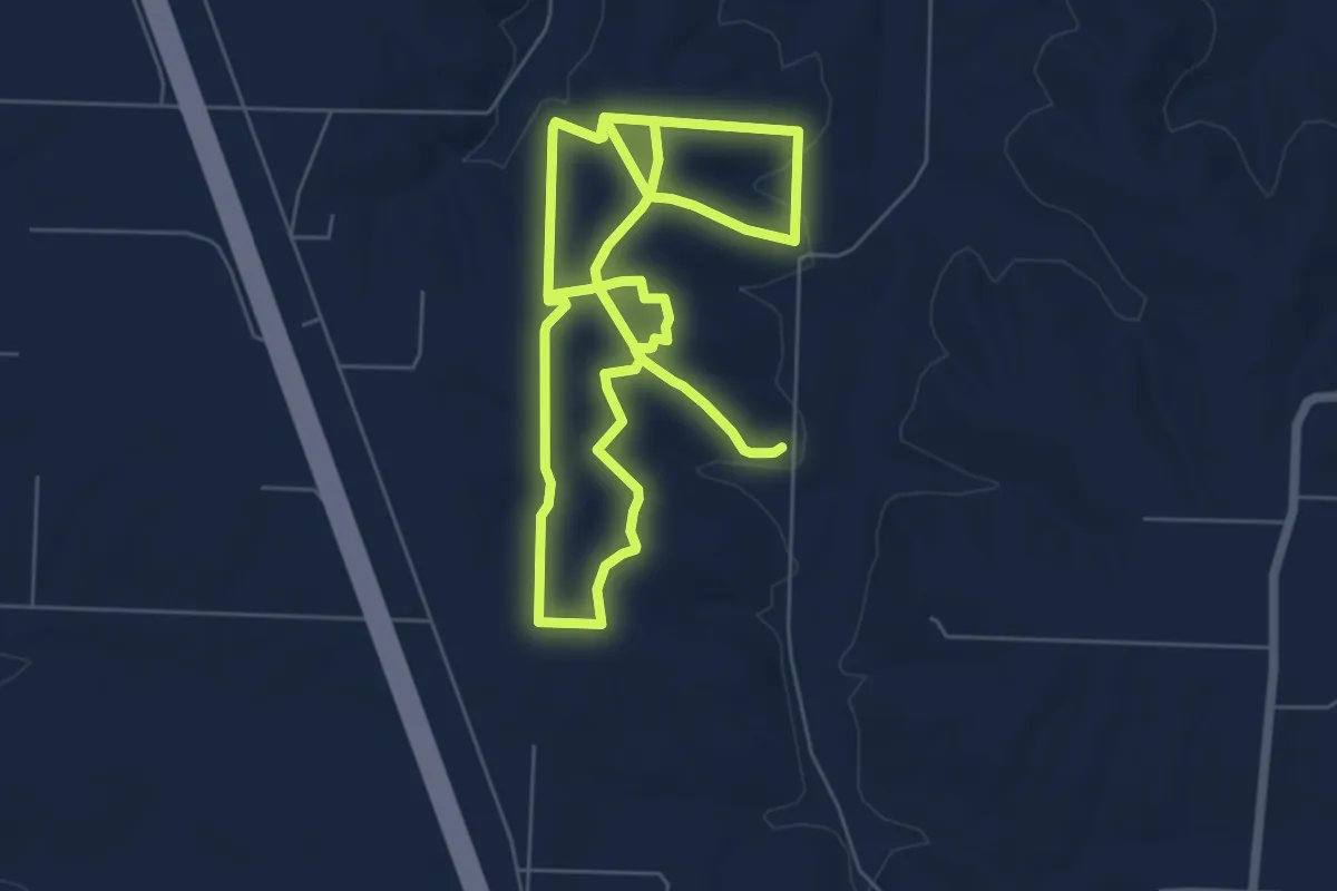
Medium · Trail
Dale Sare Conservation Area
14.6 km · ↑ 230 m · 3 h 57 min
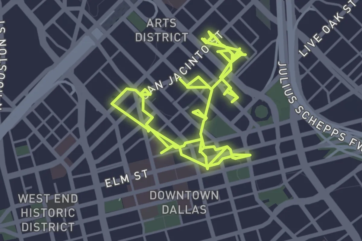
Medium · Trail
Dallas Pedestrian Network
10.9 km · ↑ 16 m · 2 h 37 min
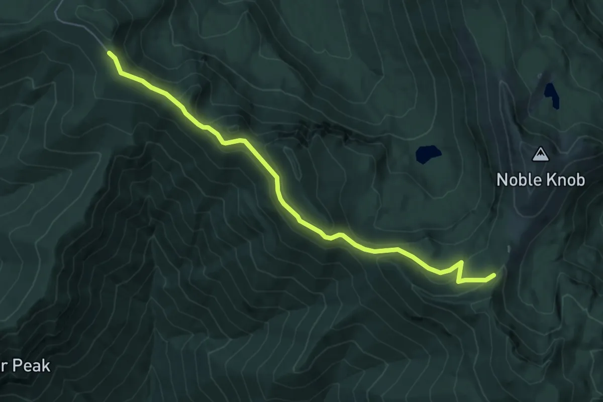
Easy · Trail
Dalles Ridge Trail
5.6 km · ↑ 224 m · 1 h 49 min
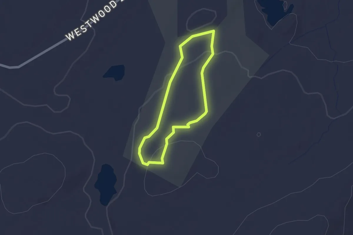
Easy · Trail
D'Alton Inner Loop Trail
1.5 km · ↑ 34 m · 27 min
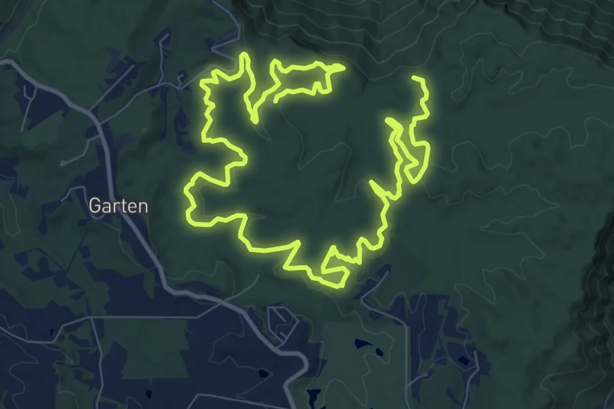
Demanding · Trail
Dalton Trail
19.9 km · ↑ 263 m · 5 h 16 min
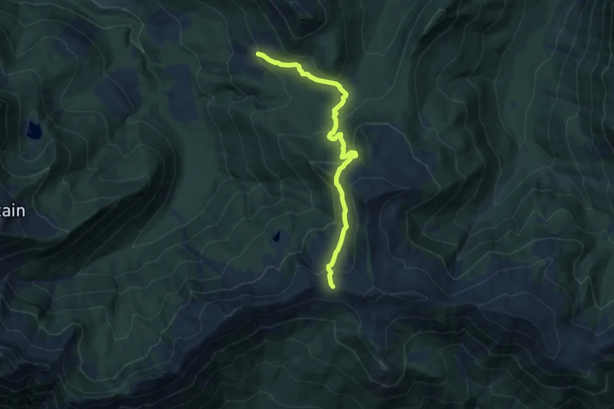
Medium · Trail
Damfino Lakes Trail
8.1 km · ↑ 421 m · 2 h 49 min
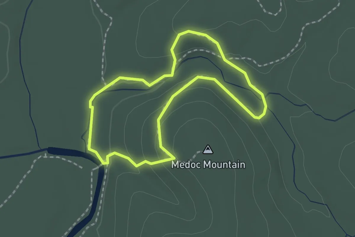
Easy · Summit
Dam Site Loop Trail
1.8 km · ↑ 53 m · 33 min
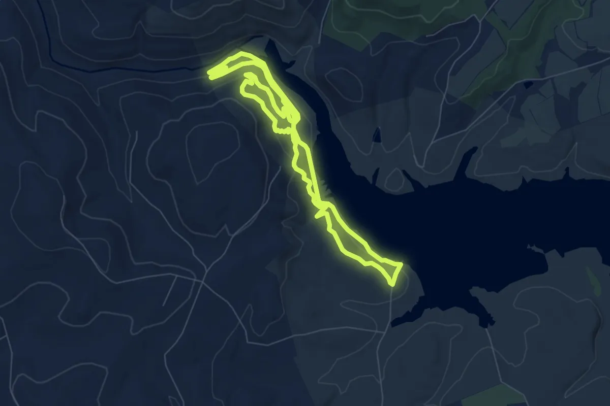
Medium · Trail
Damsite Trail Loop
8.0 km · ↑ 189 m · 2 h 25 min
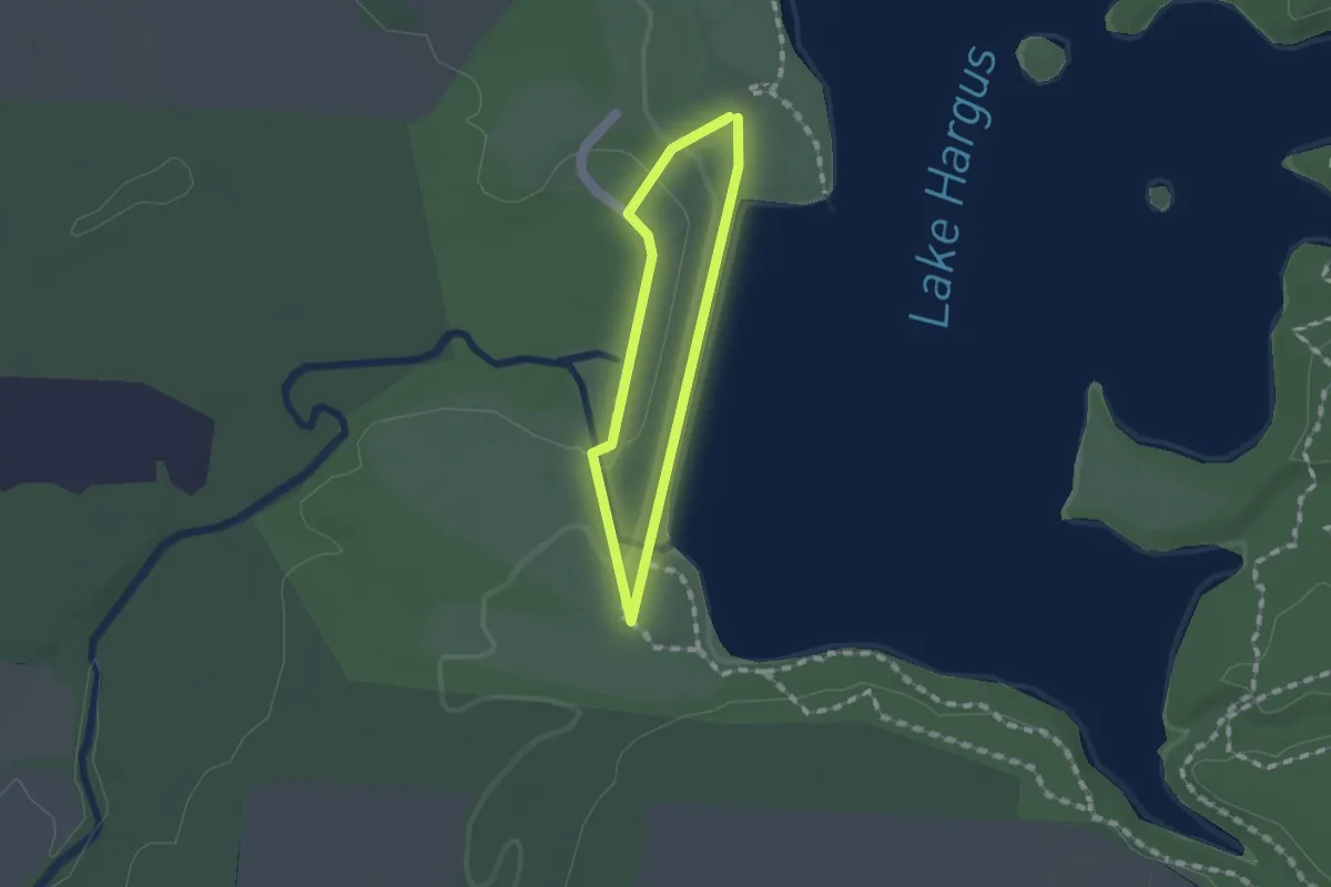
Easy · Trail
Dam Trail
1.1 km · ↑ 19 m · 19 min
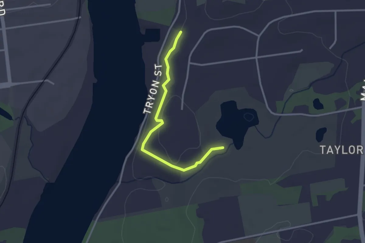
Easy · Trail
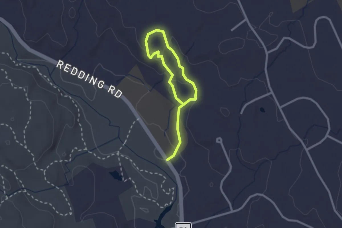
Dana's Rim Walk
2.9 km · ↑ 102 m · 54 min
Easy · Trail
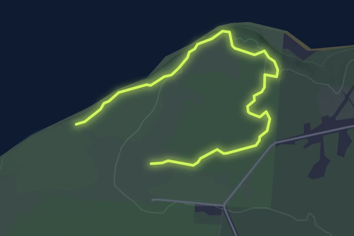
Dan Beard Trail
2.9 km · ↑ 88 m · 53 min
Easy · Trail
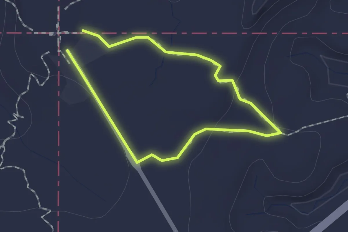
Dancing Dog
5.5 km · ↑ 35 m · 1 h 23 min
Easy · Trail
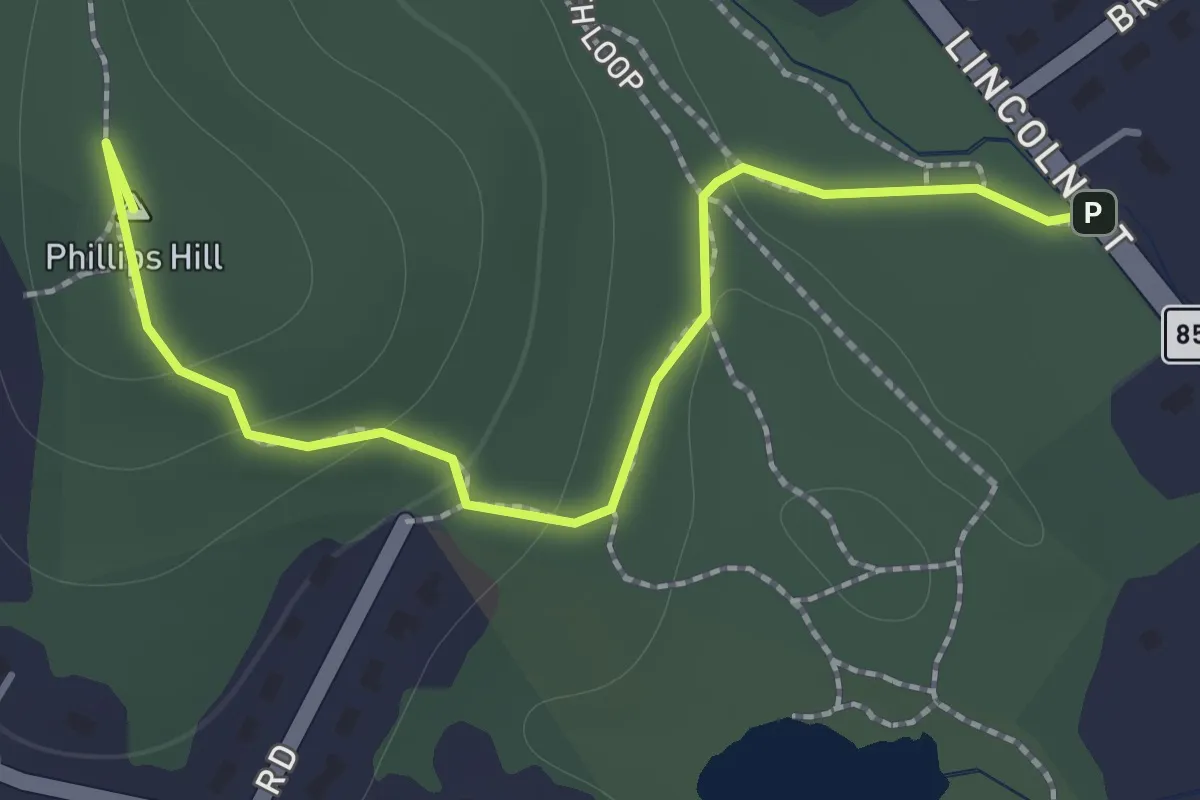
Dancing Horse Trail
1.3 km · ↑ 14 m · 21 min
Easy · Summit
Danforth Loop
1.7 km · ↑ 63 m · 32 min
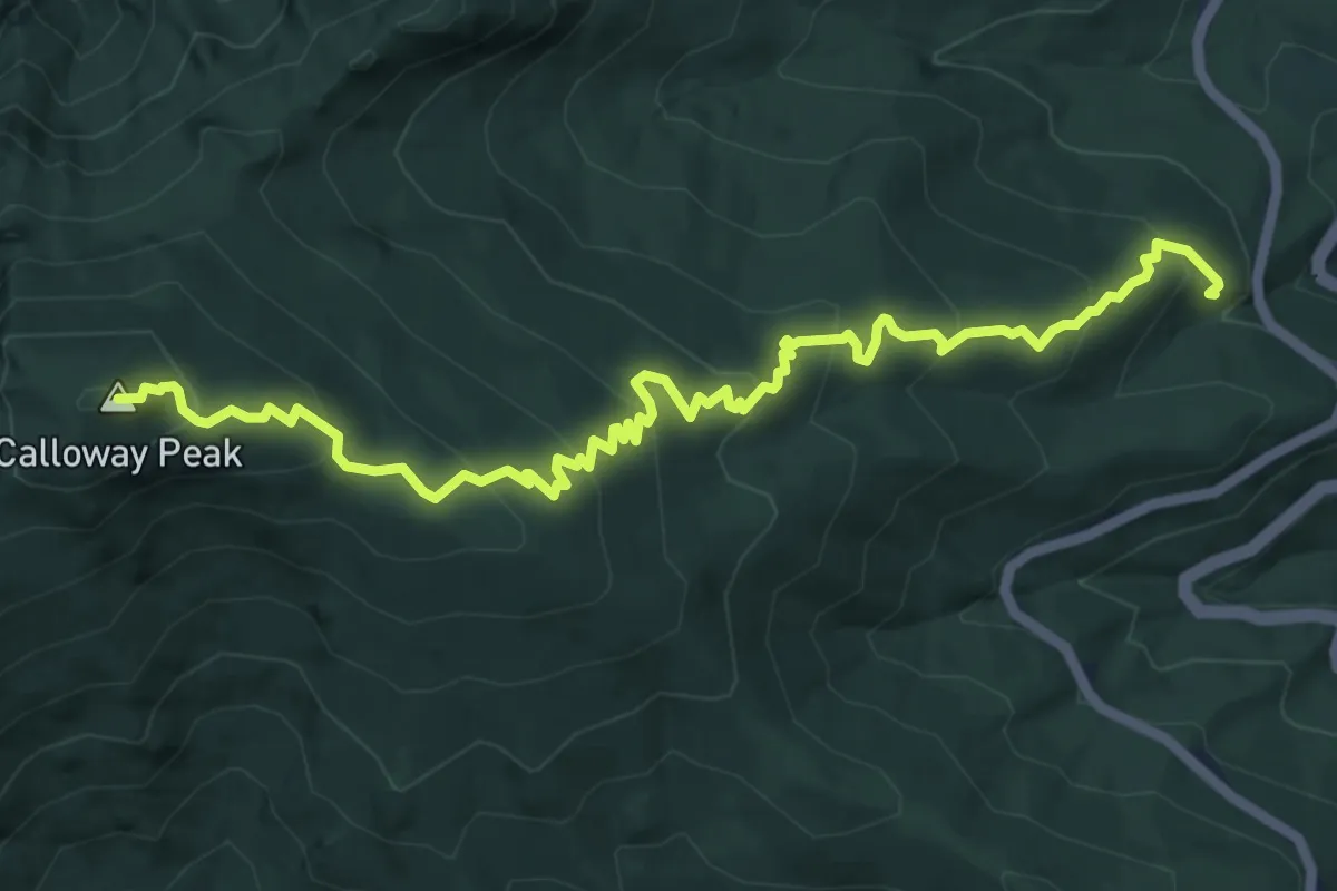
Expert · Summit
Daniel Boone Scout Trail
8.5 km · ↑ 529 m · 3 h 9 min
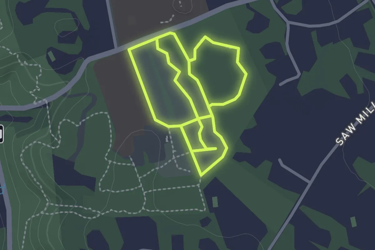
Easy · Trail
Daniel P. Davison Trail
2.6 km · ↑ 6 m · 40 min
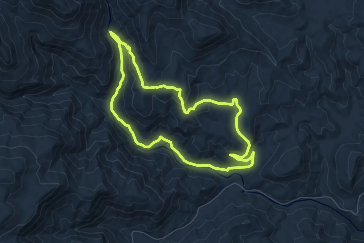
Easy · Trail
Daniel Ridge
6.9 km · ↑ 242 m · 2 h 15 min
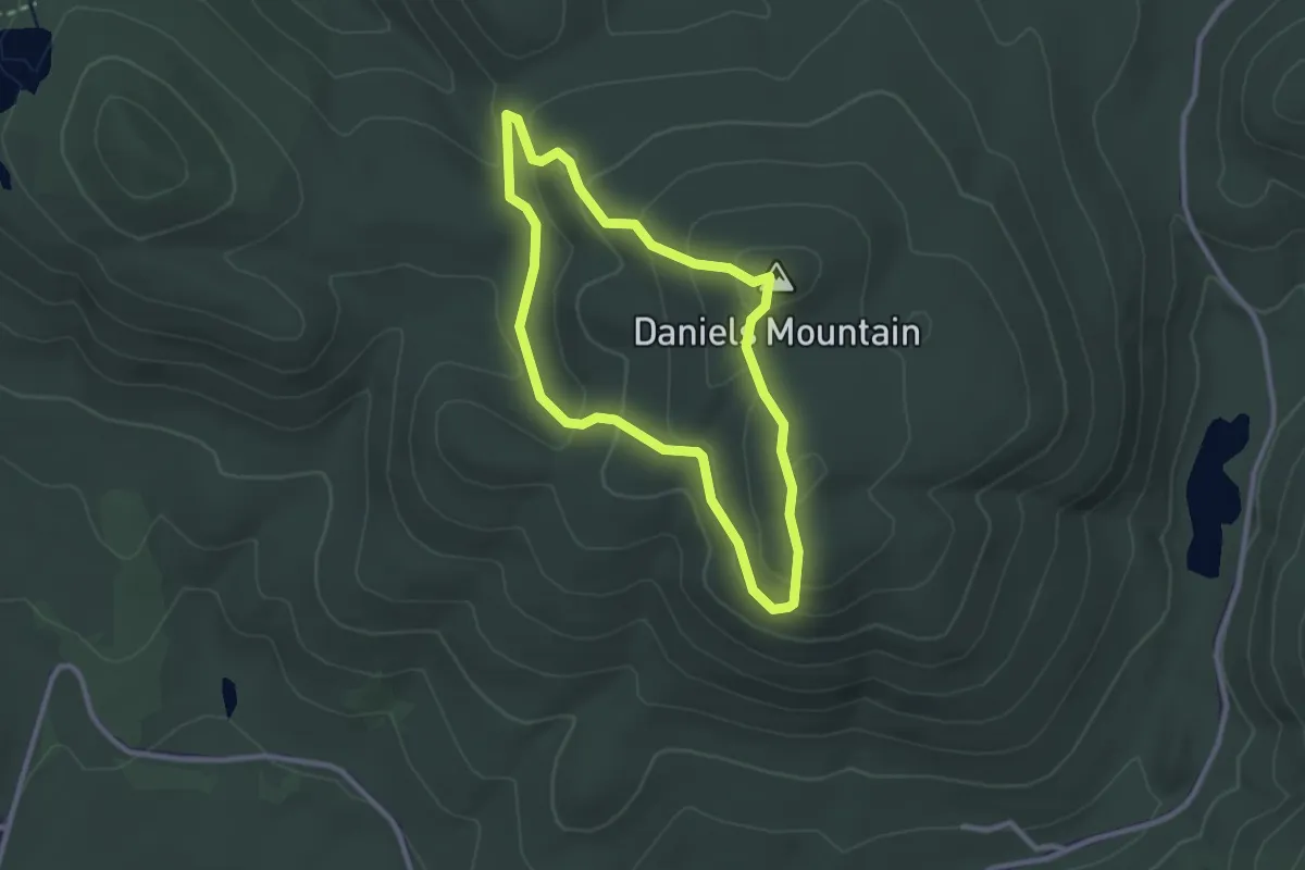
Easy · Summit
Daniels Mountain Loop
2.6 km · ↑ 134 m · 57 min
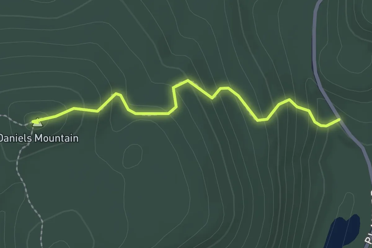
Easy · Summit
Daniels Mountain Trail
2.2 km · ↑ 169 m · 54 min
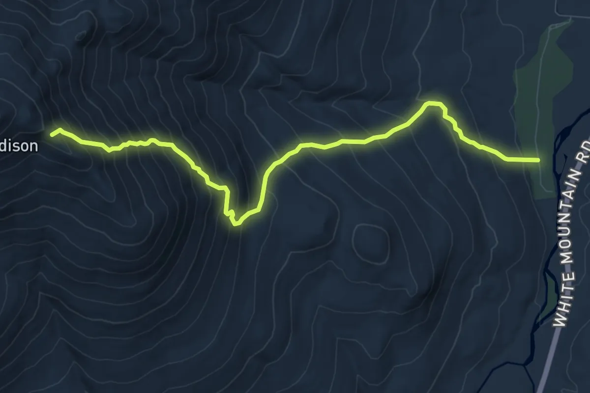
Demanding · Trail
Daniel Webster Trail
10.4 km · ↑ 1101 m · 4 h 50 min
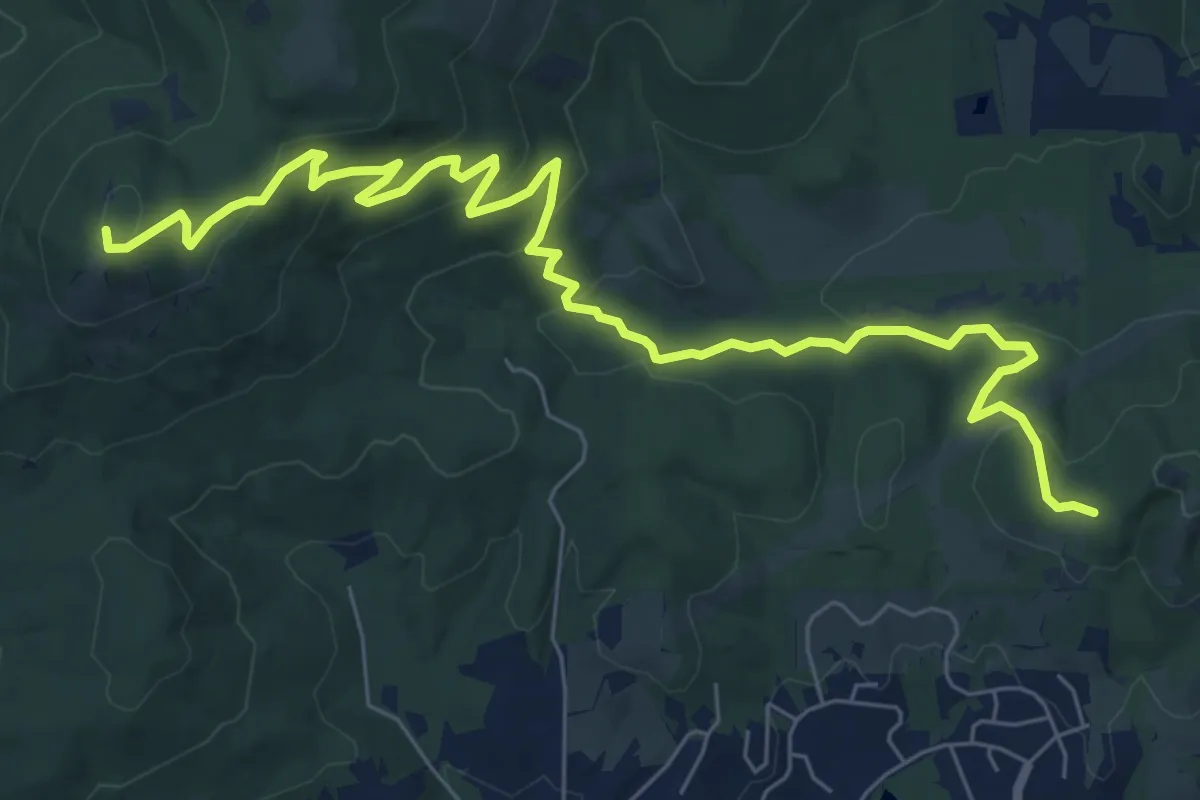
Medium · Summit
Dan's Trail
9.2 km · ↑ 385 m · 3 h 1 min
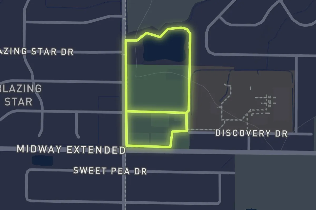
Easy · Trail
Darboy Park Trail
2.9 km · ↑ 0 m · 41 min
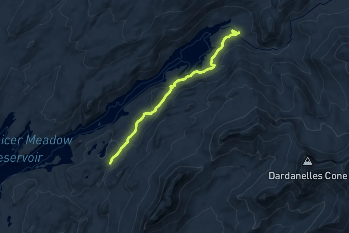
Medium · Trail
Dardanelle Creek Trail
11.9 km · ↑ 348 m · 3 h 33 min
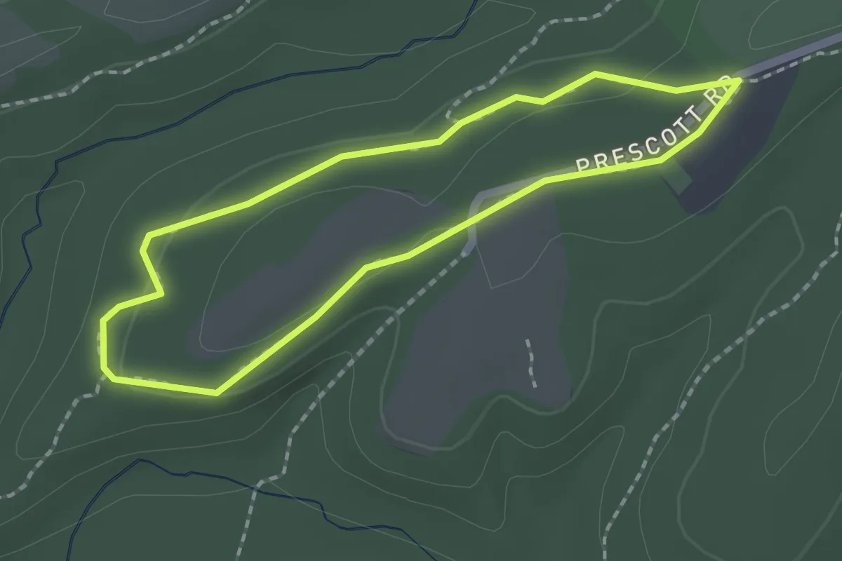
Easy · Trail
Dark Branch Trail
1.9 km · ↑ 24 m · 31 min
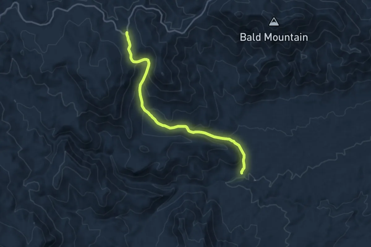
Medium · Trail
Dark Canyon Trail
13.3 km · ↑ 646 m · 4 h 32 min
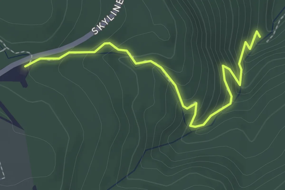
Medium · Trail
Dark Holllow Falls Trail
2.7 km · ↑ 186 m · 1 h 2 min