Trails in United States
10,367 hiking trails, each with its route, climb, walking time and grade.
All trails, page 53 of 216
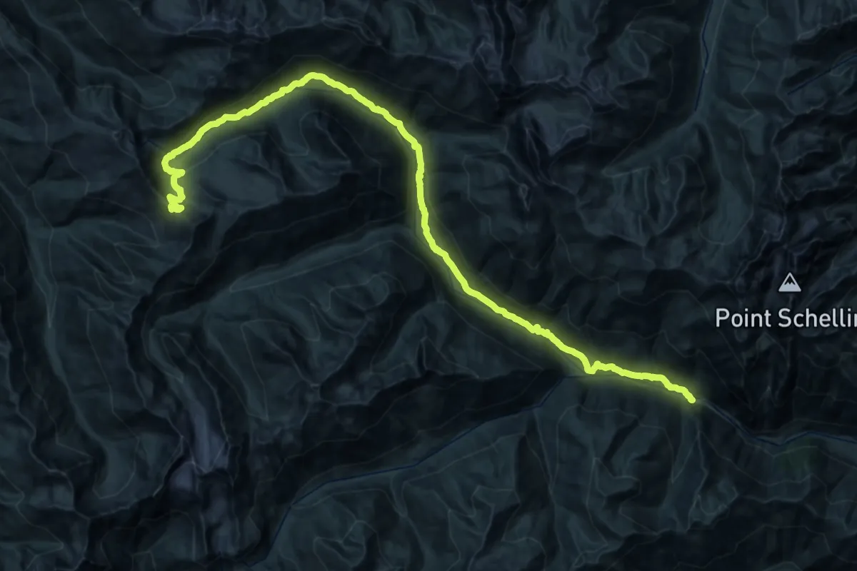
Demanding · Trail
Dosewallips River Trail
23.1 km · ↑ 340 m · 7 h 9 min
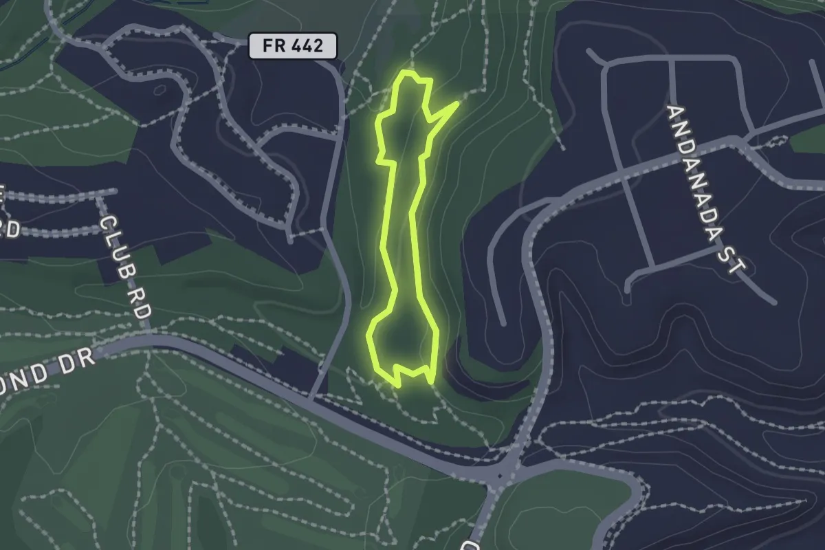
Easy · Trail
Dot Grant Trail
1.5 km · ↑ 30 m · 26 min
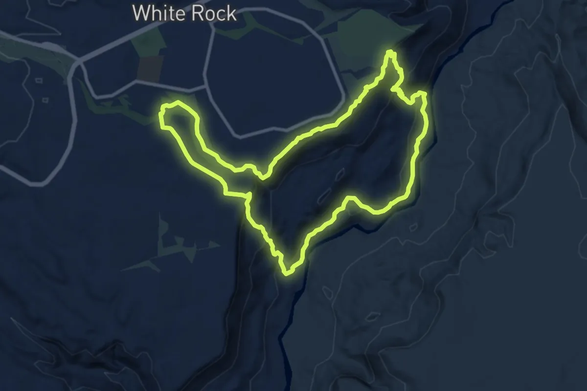
Medium · Trail
Dot-to-Dot Loop
11.0 km · ↑ 425 m · 3 h 40 min
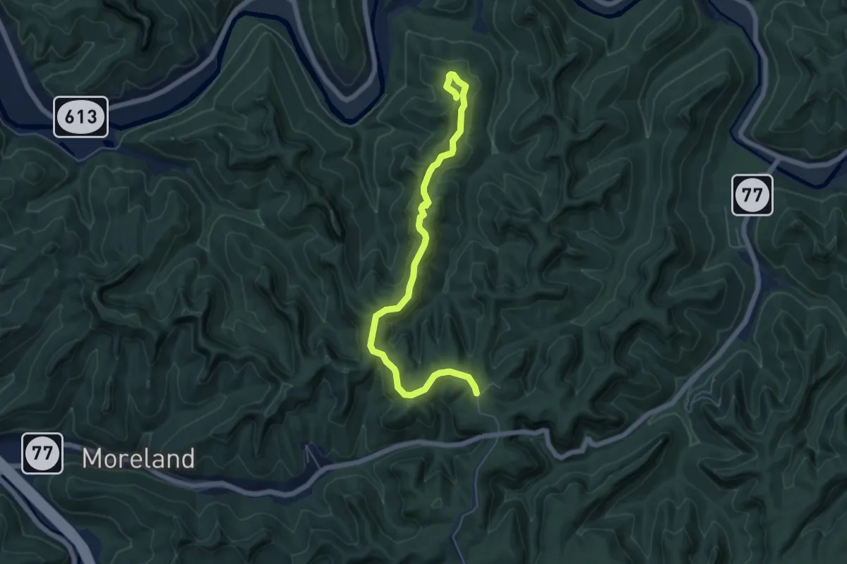
Easy · Trail
Double Arch Trail #201
6.9 km · ↑ 251 m · 2 h 10 min
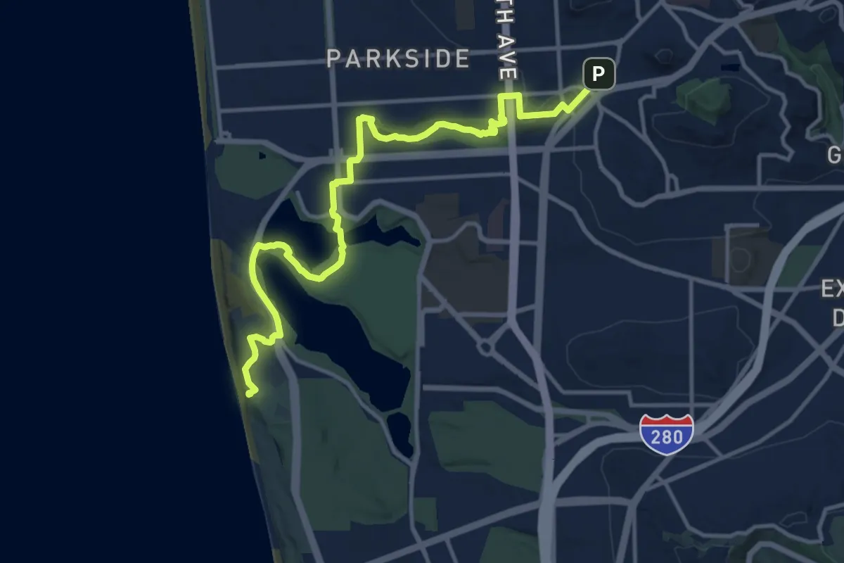
Medium · Trail
Double Cross Trail - Section 1
16.0 km · ↑ 286 m · 4 h 23 min
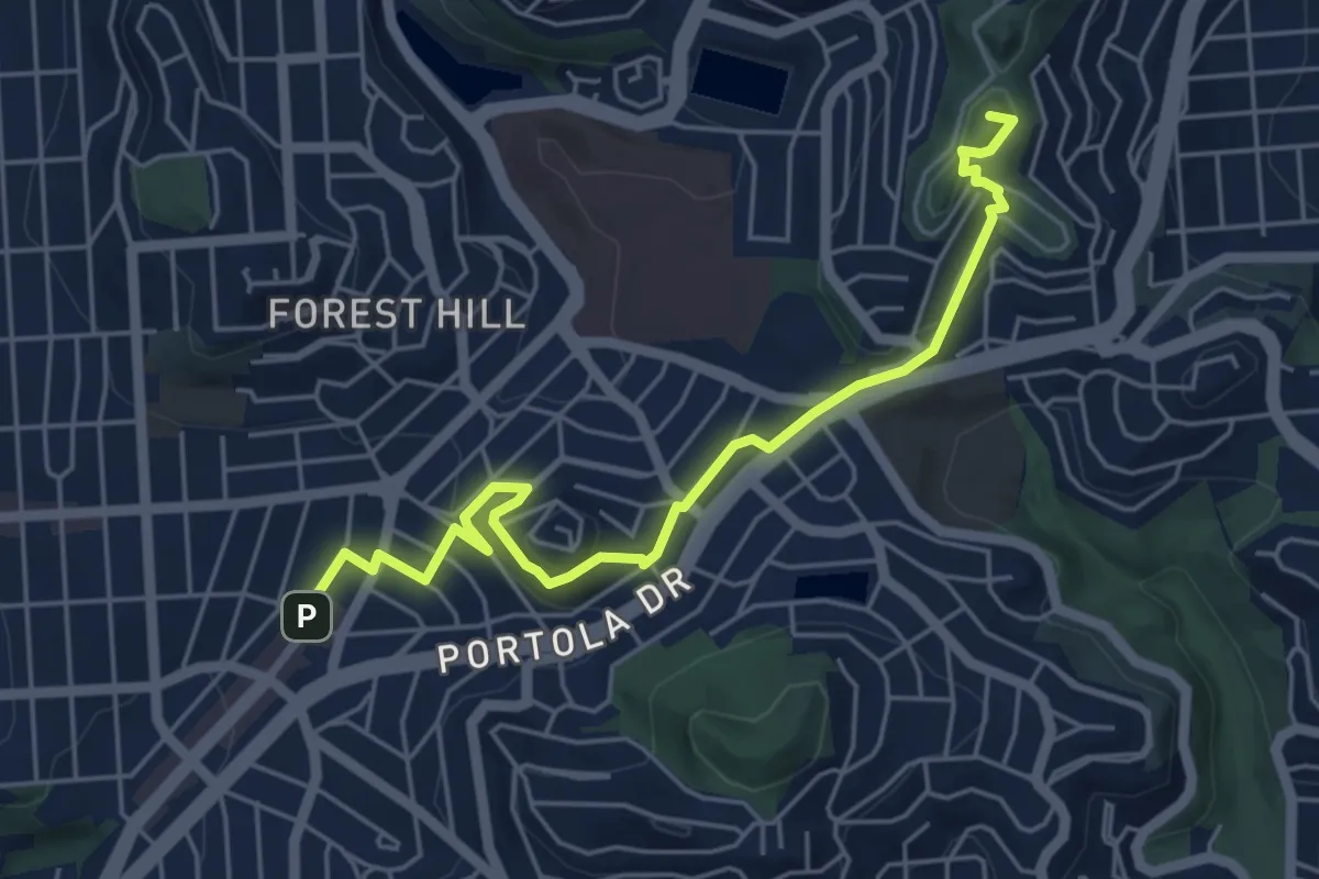
Easy · Summit
Double Cross Trail - Section 2
6.4 km · ↑ 210 m · 1 h 59 min
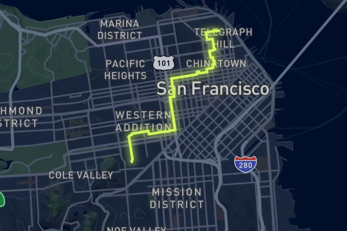
Medium · Summit
Double Cross Trail - Section 3
14.2 km · ↑ 319 m · 4 h 2 min
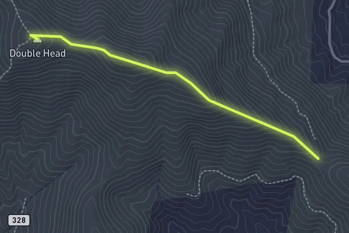
Easy · Summit
Double Head Trail
2.8 km · ↑ 247 m · 1 h 12 min
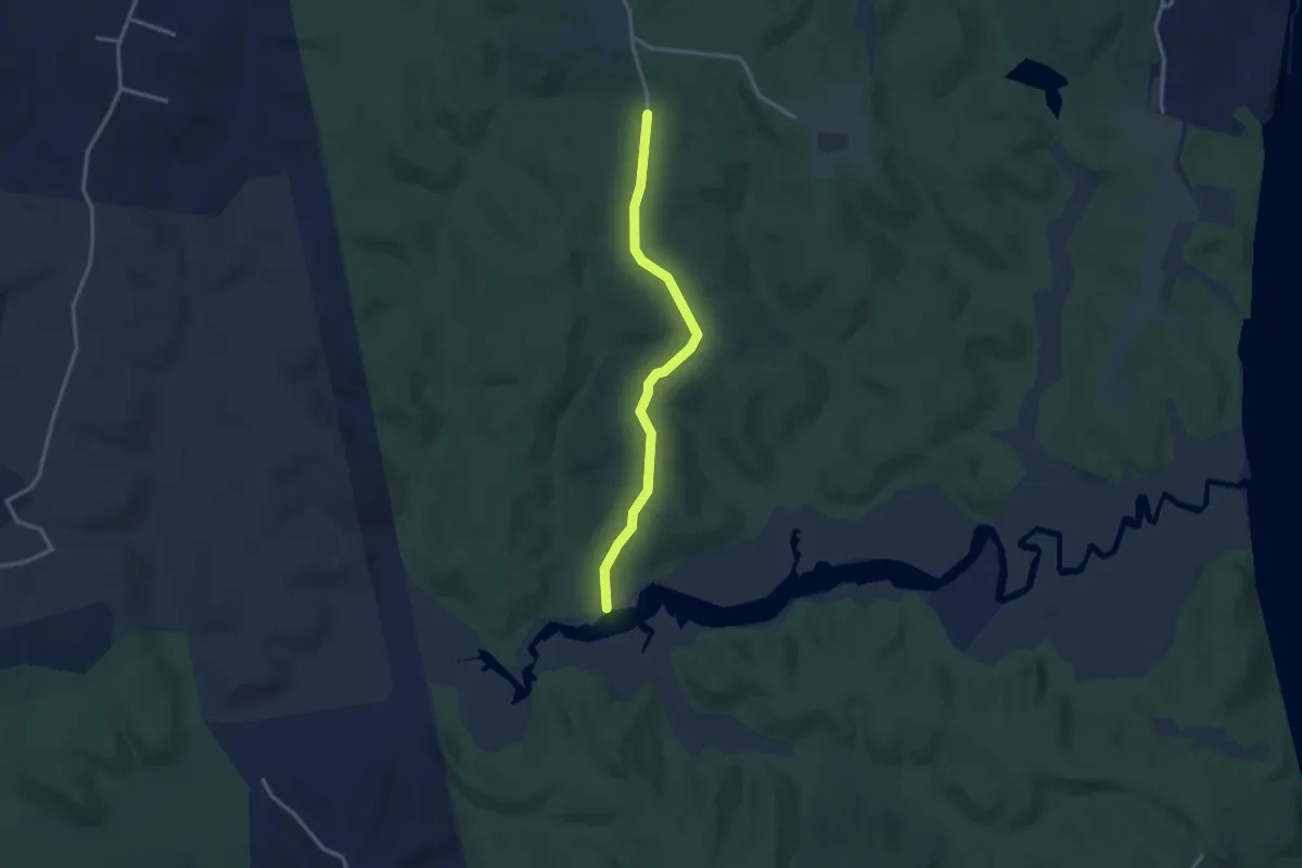
Easy · Trail
Double Oak Road Trail
3.3 km · ↑ 50 m · 53 min
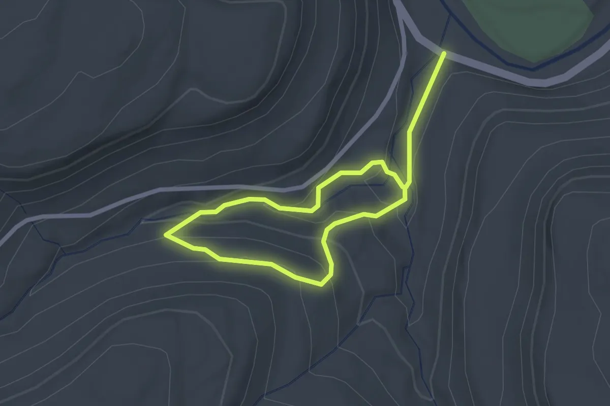
Easy · Trail
Double Run Nature Trail
3.6 km · ↑ 177 m · 1 h 14 min
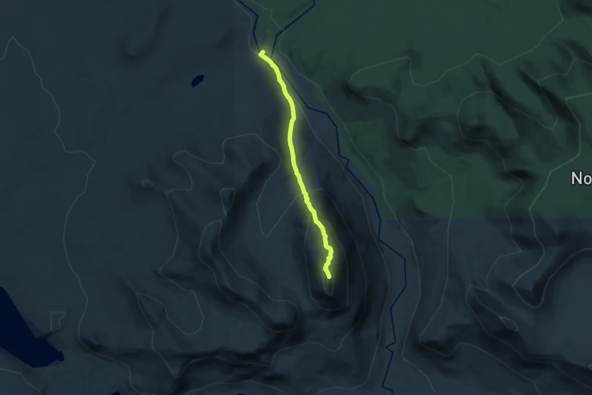
Medium · Summit
Doubletop Trail
10.2 km · ↑ 730 m · 3 h 59 min
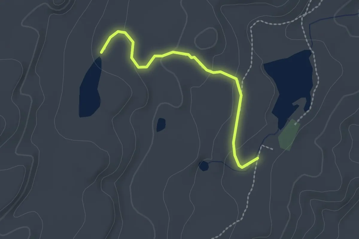
Easy · Trail
Dougherty Basin Trail
2.4 km · ↑ 49 m · 40 min
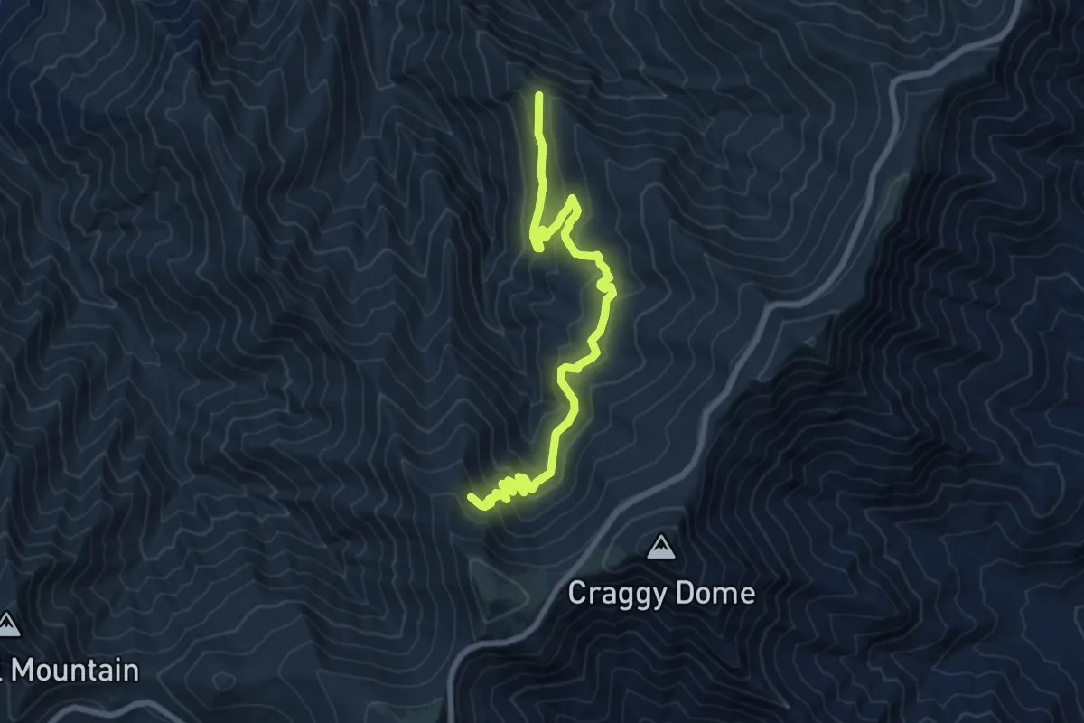
Medium · Trail
Douglas Falls Trail
8.8 km · ↑ 421 m · 3 h
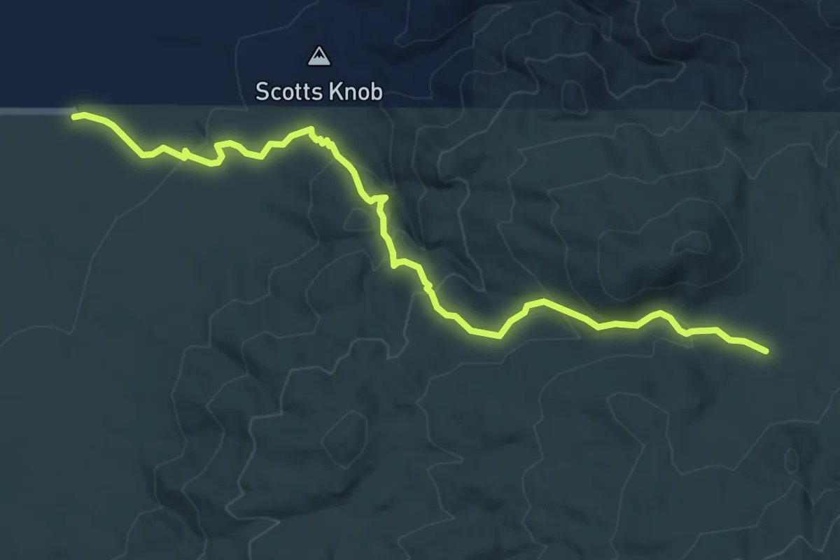
Medium · Trail
Douglas Spring Trail
7.7 km · ↑ 308 m · 2 h 29 min
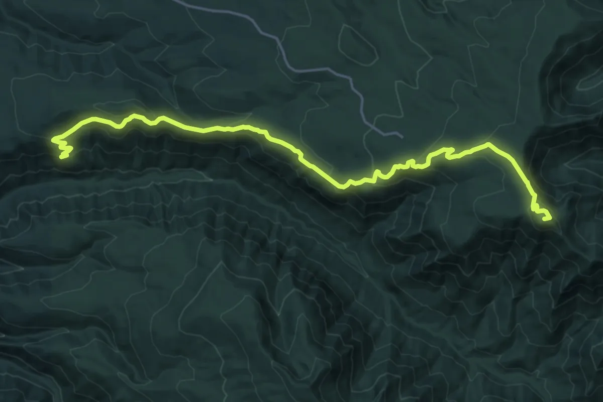
Demanding · Summit
Douglas Trail #781
19.0 km · ↑ 909 m · 6 h 27 min
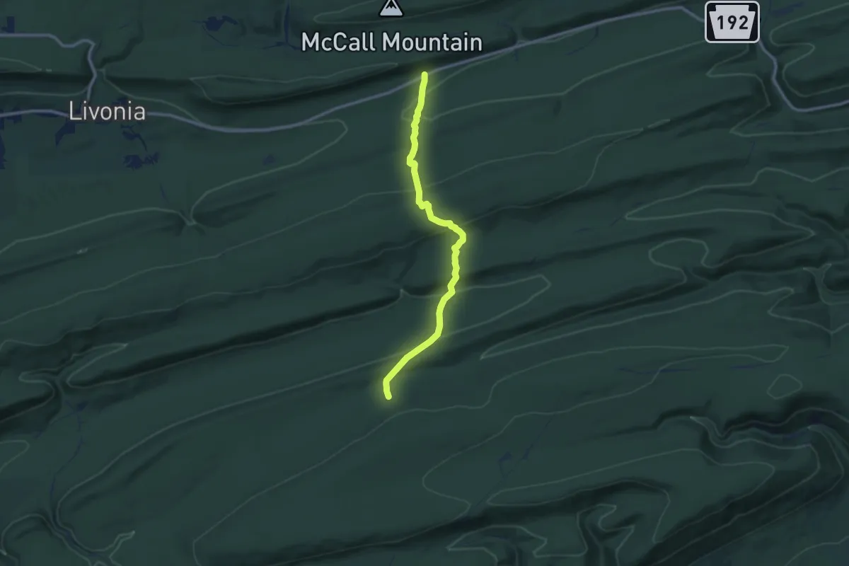
Medium · Trail
Douty Mill Trail
7.0 km · ↑ 327 m · 2 h 22 min
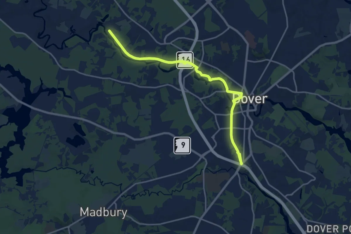
Medium · Trail
Dover Community Trail
14.5 km · ↑ 95 m · 3 h 37 min
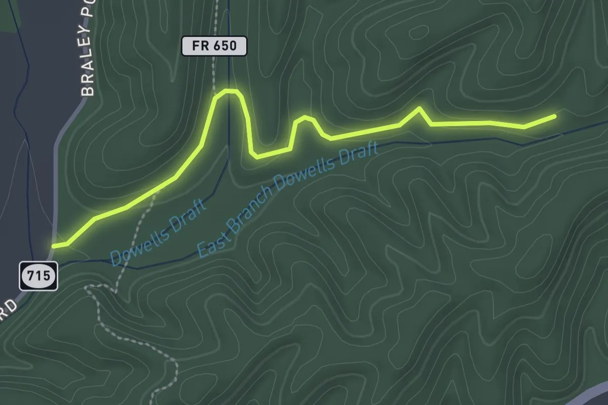
Easy · Trail
Dowells Draft Forest Road
3.2 km · ↑ 59 m · 54 min
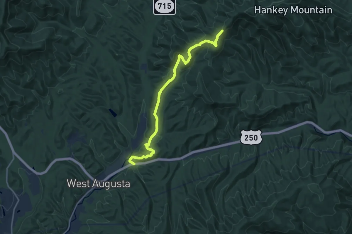
Medium · Trail
Dowells Draft Trail
12.6 km · ↑ 436 m · 3 h 55 min
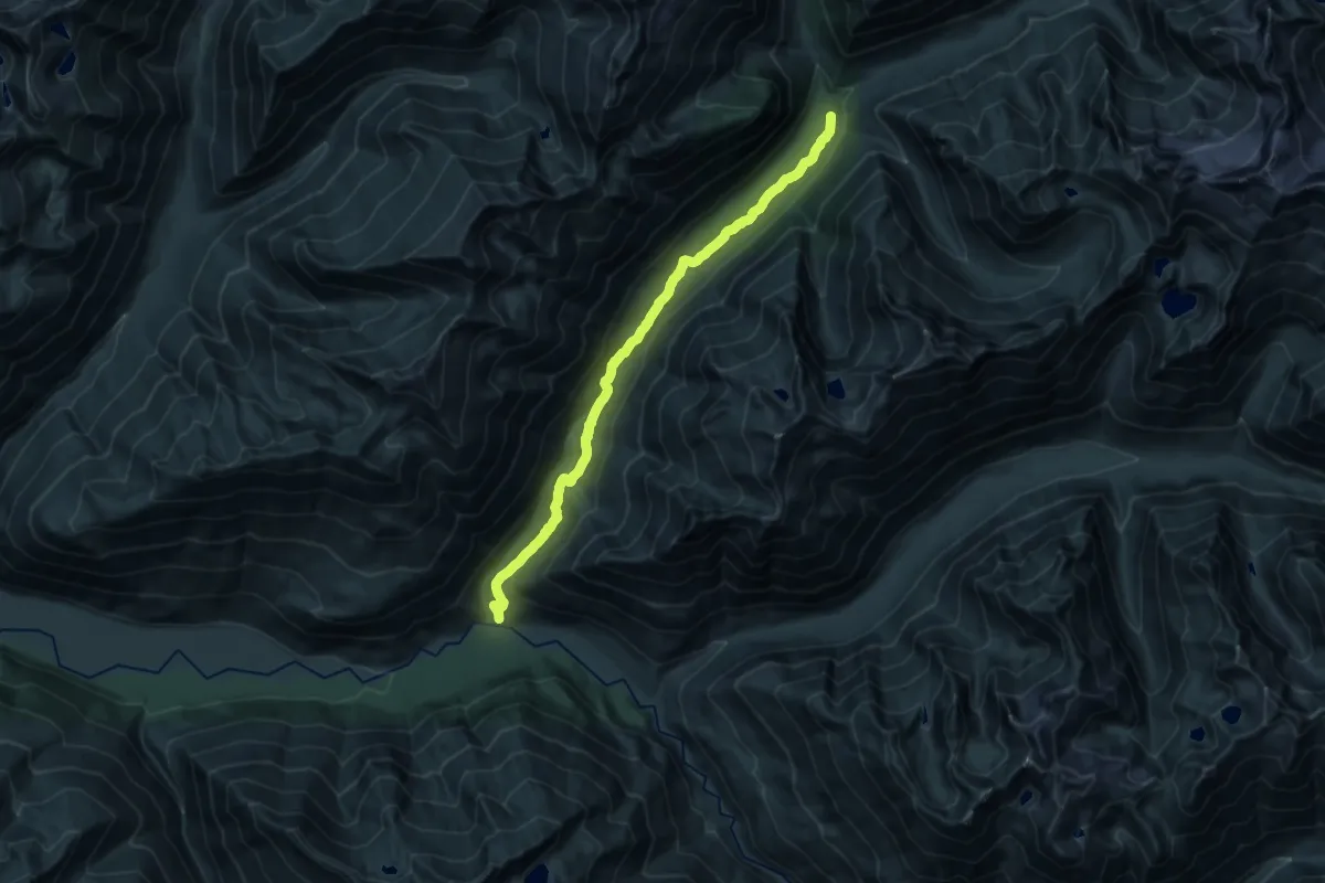
Demanding · Trail
Downey Creek Trail
19.9 km · ↑ 709 m · 6 h 15 min
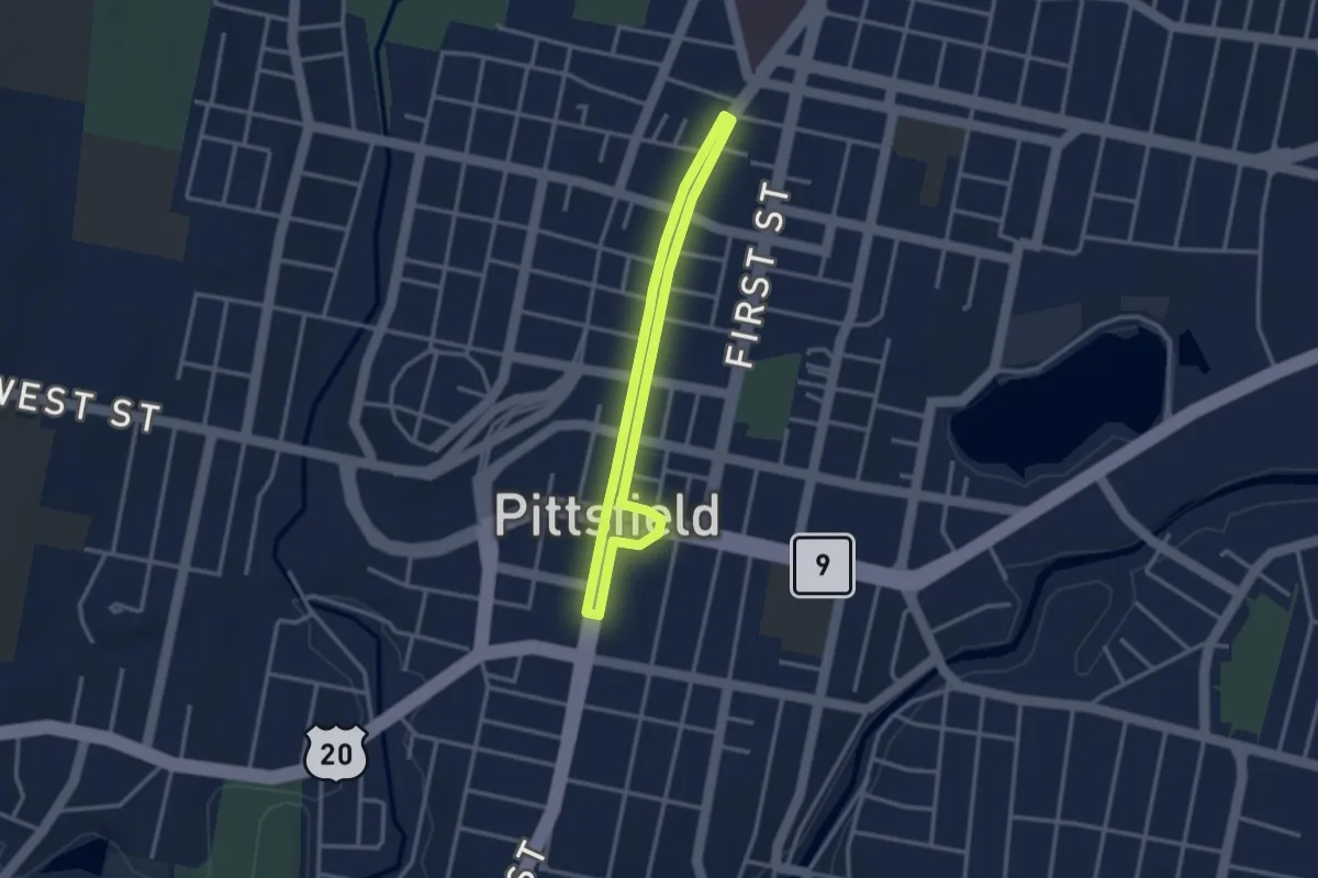
Easy · Trail
Downtown Loop
6.0 km · ↑ 8 m · 1 h 26 min
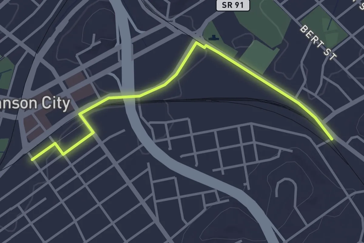
Easy · Trail
Downtown Spur
3.9 km · ↑ 18 m · 57 min
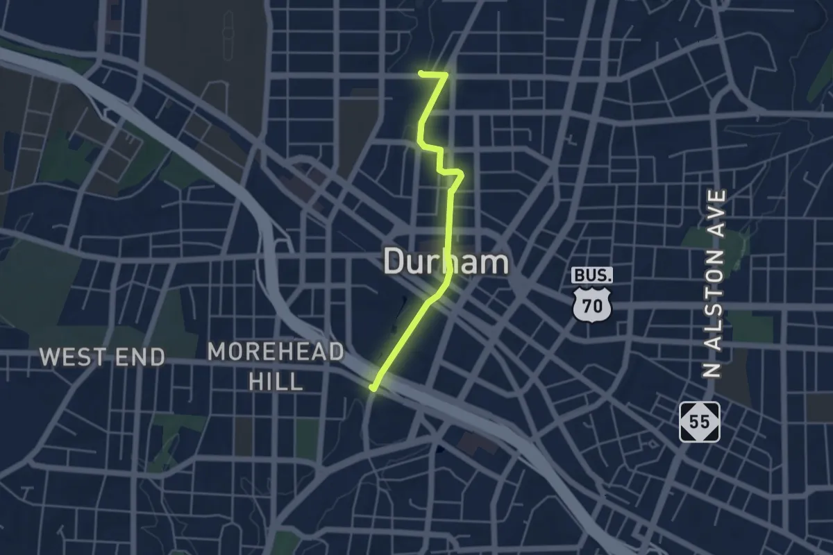
Easy · Trail
Downtown Trail
4.3 km · ↑ 40 m · 1 h 7 min
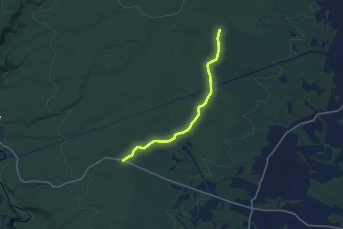
Easy · Trail
Down Under Trail
7.3 km · ↑ 55 m · 1 h 51 min
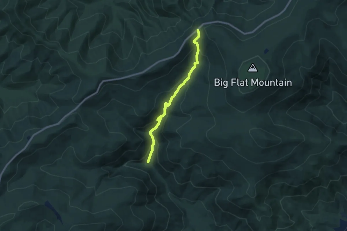
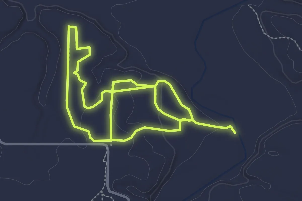
Medium · Trail
Doyles River Trail
6.8 km · ↑ 442 m · 2 h 33 min
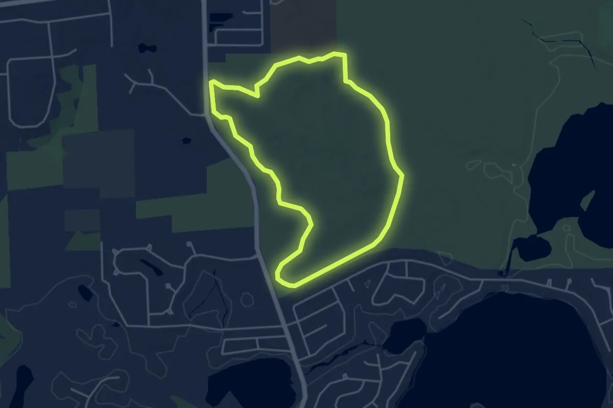
Easy · Trail
Doyle Trail
5.9 km · ↑ 82 m · 1 h 34 min
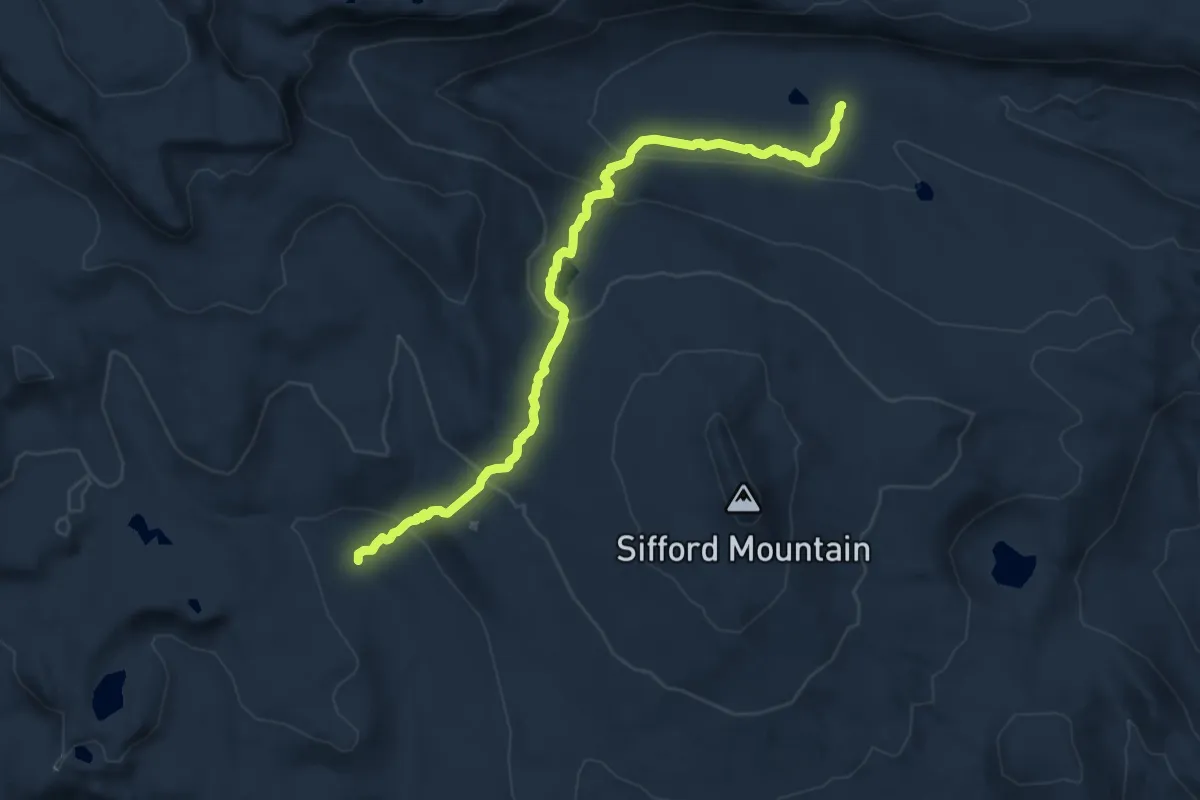
Easy · Trail
Dragon Loop
4.2 km · ↑ 25 m · 1 h 6 min
Medium · Trail
Drake Lake Trail
12.5 km · ↑ 454 m · 3 h 57 min
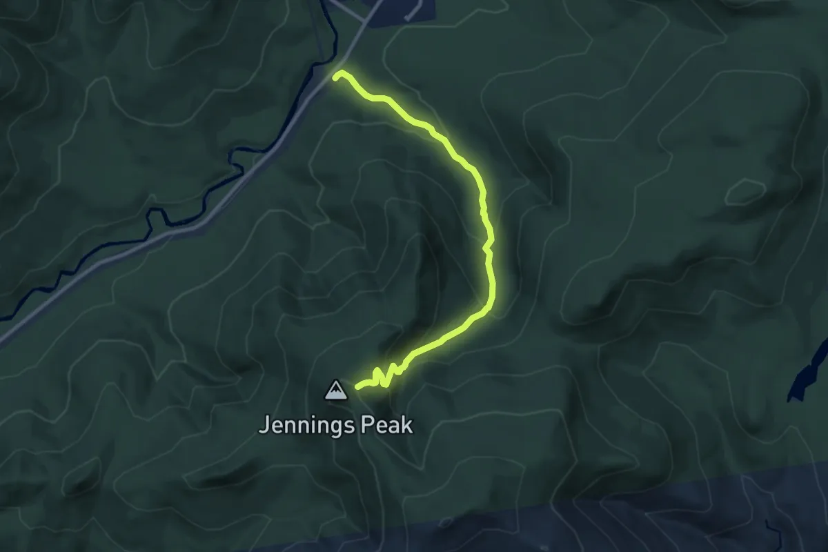
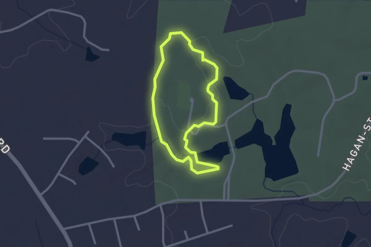
Medium · Trail
Drakes Brook Trail
9.8 km · ↑ 561 m · 3 h 32 min
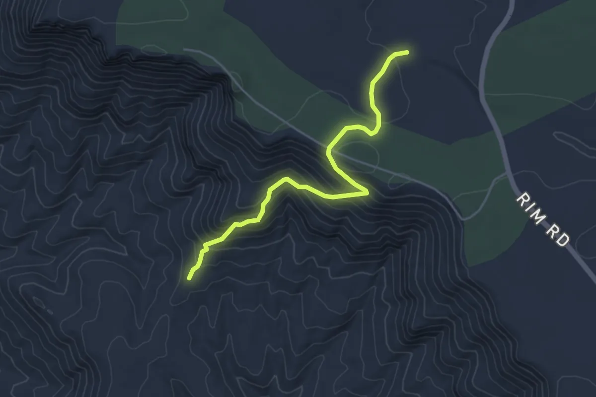
Easy · Trail
Draper Trail
2.3 km · ↑ 25 m · 38 min
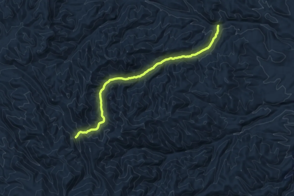
Easy · Trail
Drew Trail #291
4.8 km · ↑ 282 m · 1 h 45 min
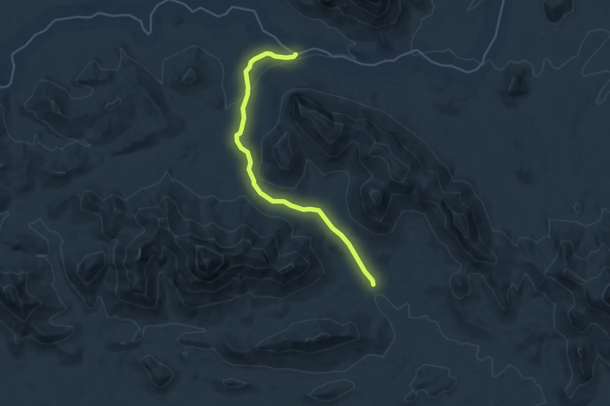
Demanding · Trail
Drift Fence Trail
16.7 km · ↑ 999 m · 6 h 6 min
Easy · Trail
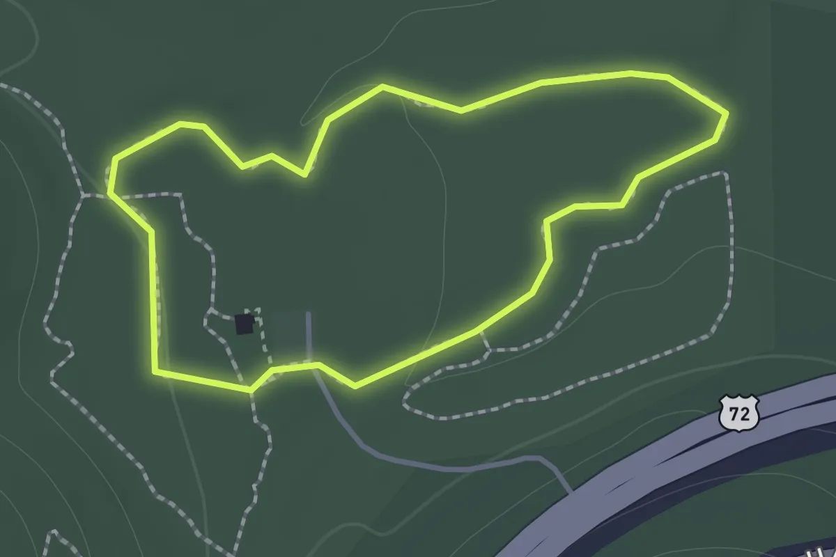
Dripping Springs Mine Trail
4.6 km · ↑ 89 m · 1 h 17 min
Easy · Trail
Driskell Trail
1.4 km · ↑ 9 m · 22 min
Demanding · Summit
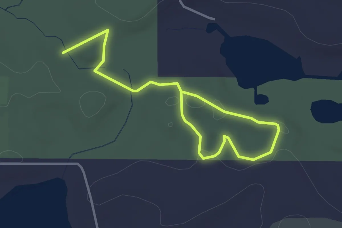
Driveway Butte Trail
13.5 km · ↑ 931 m · 5 h 12 min
Easy · Trail
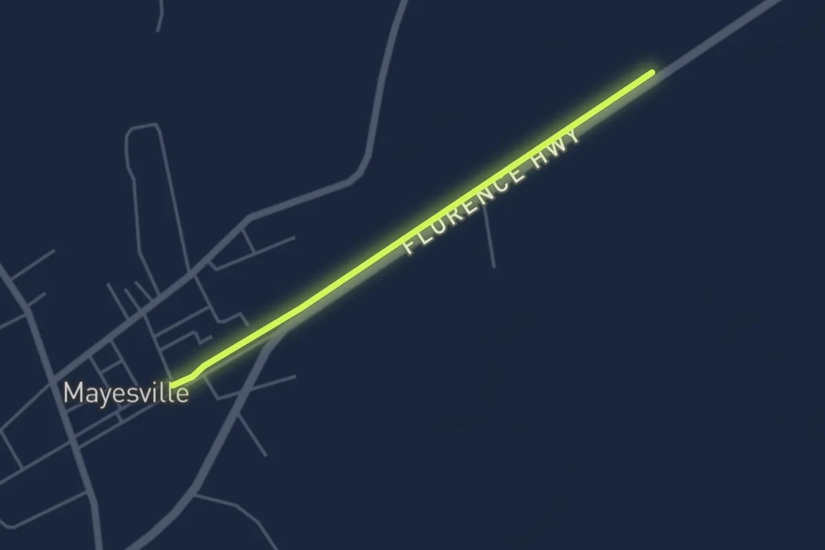
Dr. LawLess Park
4.3 km · ↑ 54 m · 1 h 7 min
Easy · Trail
Dr. Mary McLeod Bethune Nature Trail
4.5 km · ↑ 4 m · 1 h 4 min
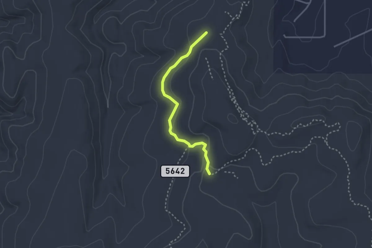
Medium · Trail
Drop In Trail
3.1 km · ↑ 48 m · 49 min
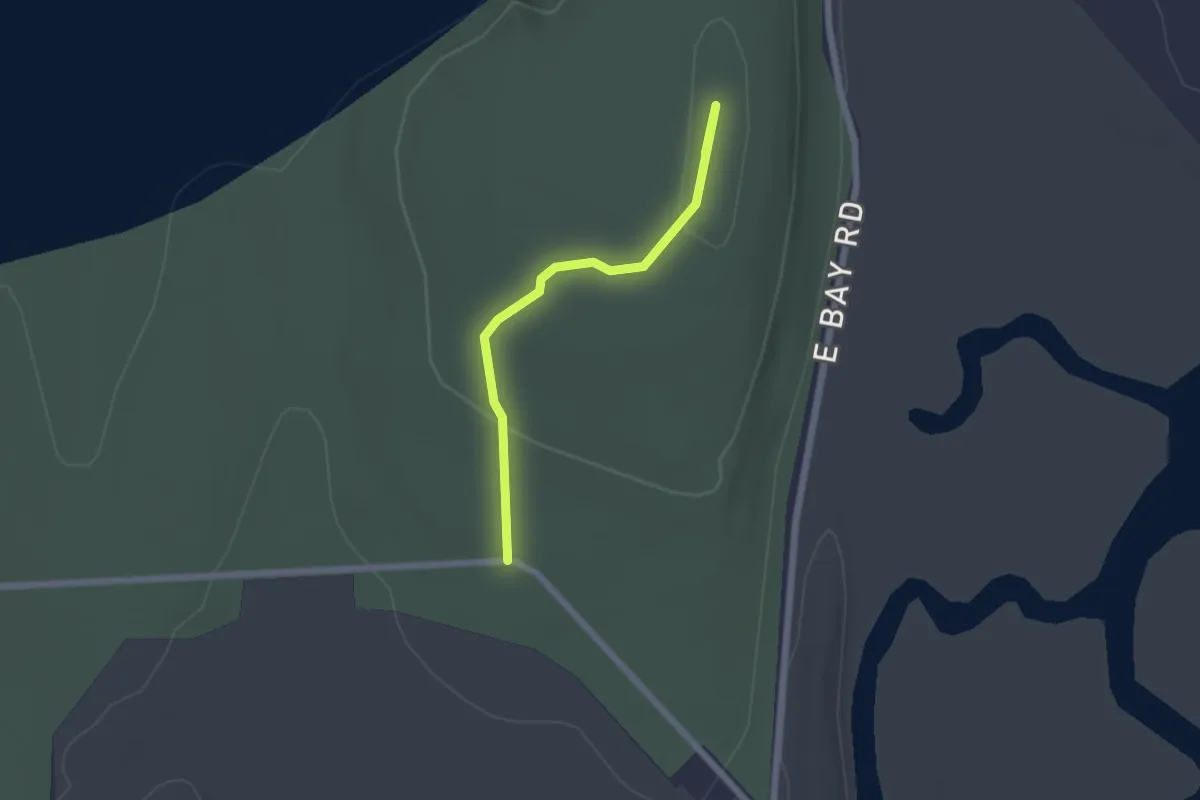
Easy · Summit
Drumlin Trail
2.0 km · ↑ 32 m · 33 min
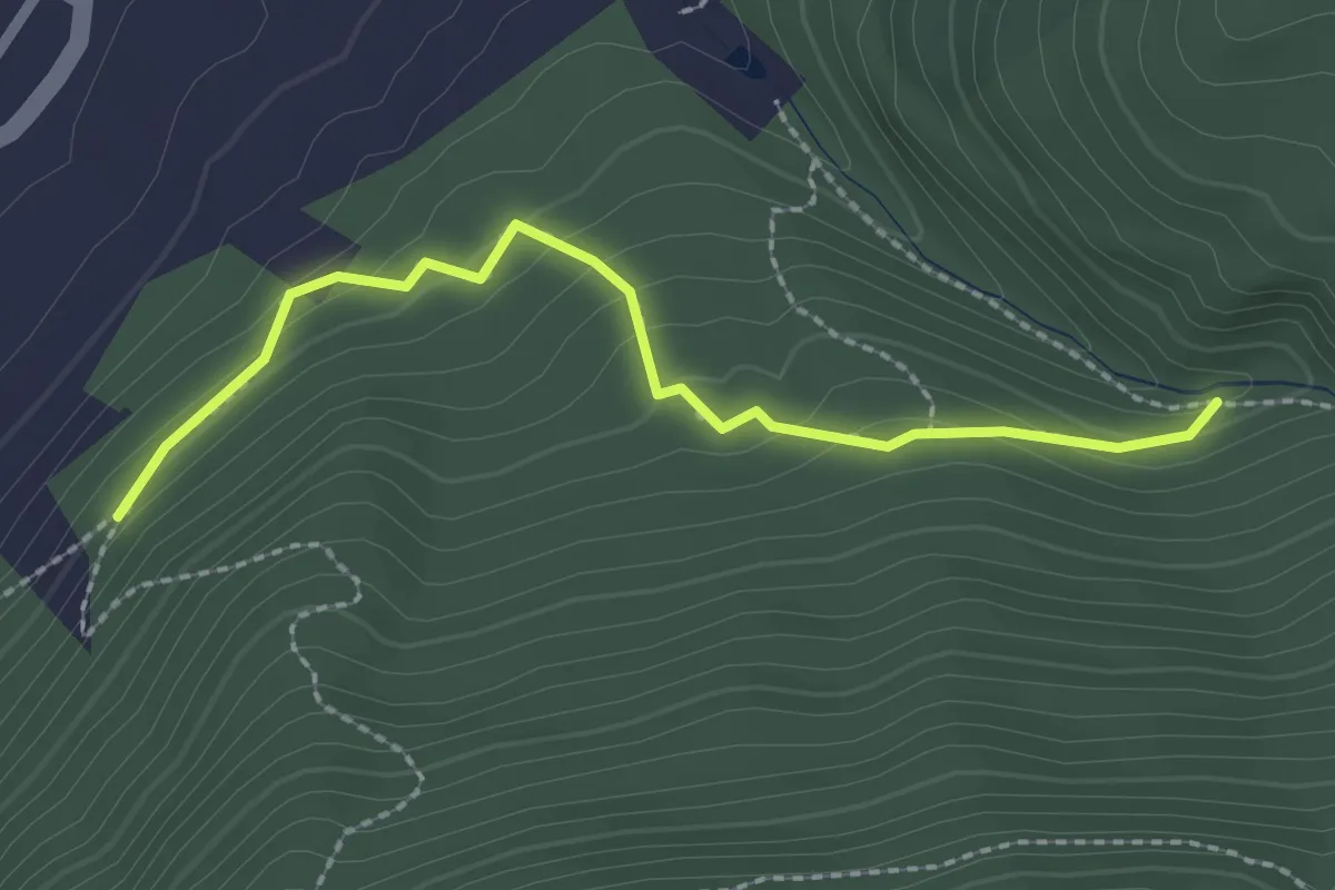
Easy · Trail
Dry Brook Trail
2.5 km · ↑ 138 m · 53 min
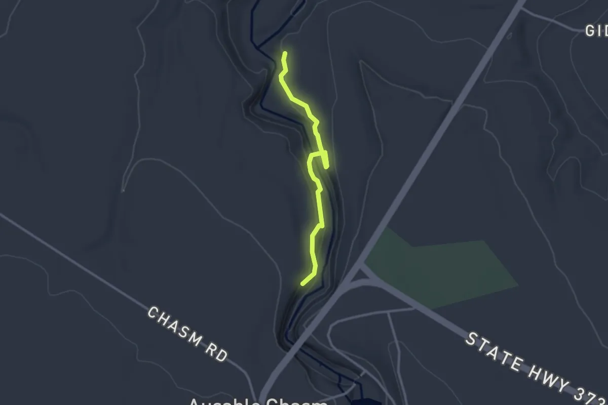
Easy · Trail
Dry Chasm Trail
2.6 km · ↑ 125 m · 53 min
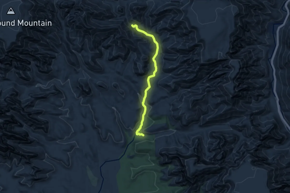
Medium · Trail
Dry Creek #52
8.2 km · ↑ 228 m · 2 h 25 min
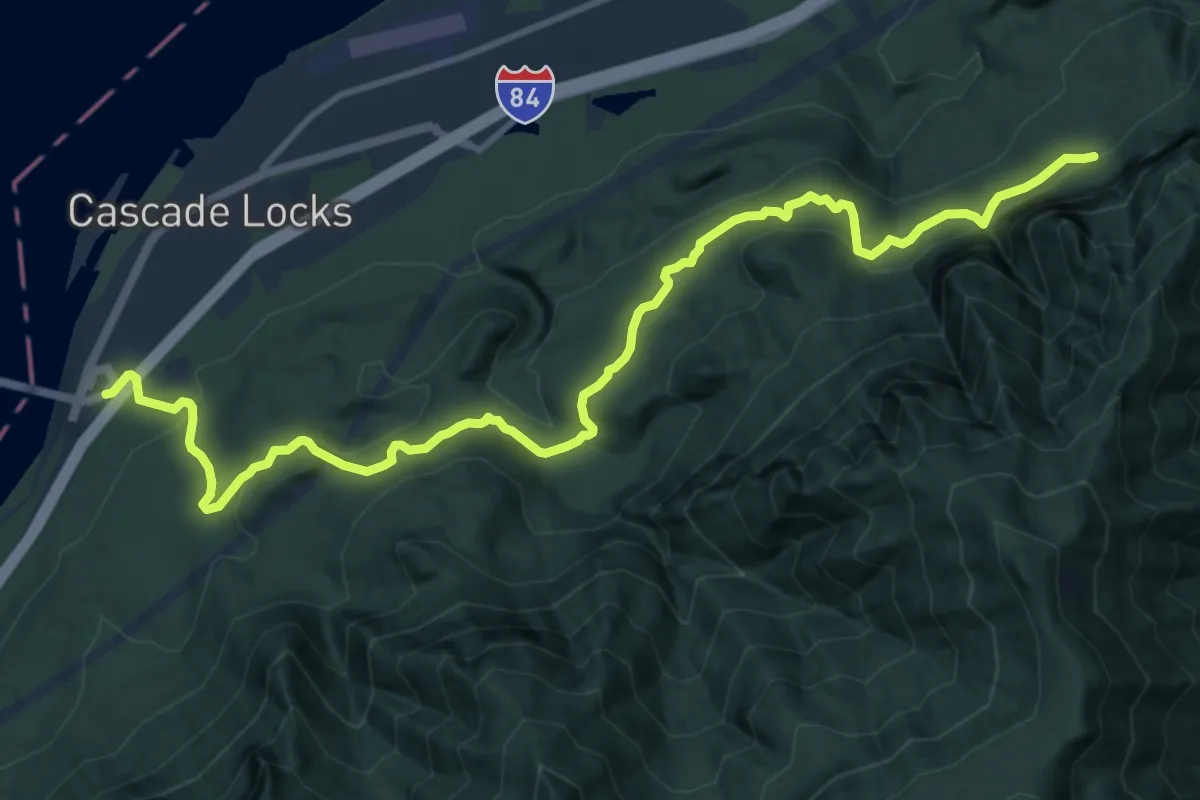
Medium · Trail
Dry Creek Falls Hike
13.3 km · ↑ 417 m · 4 h 3 min
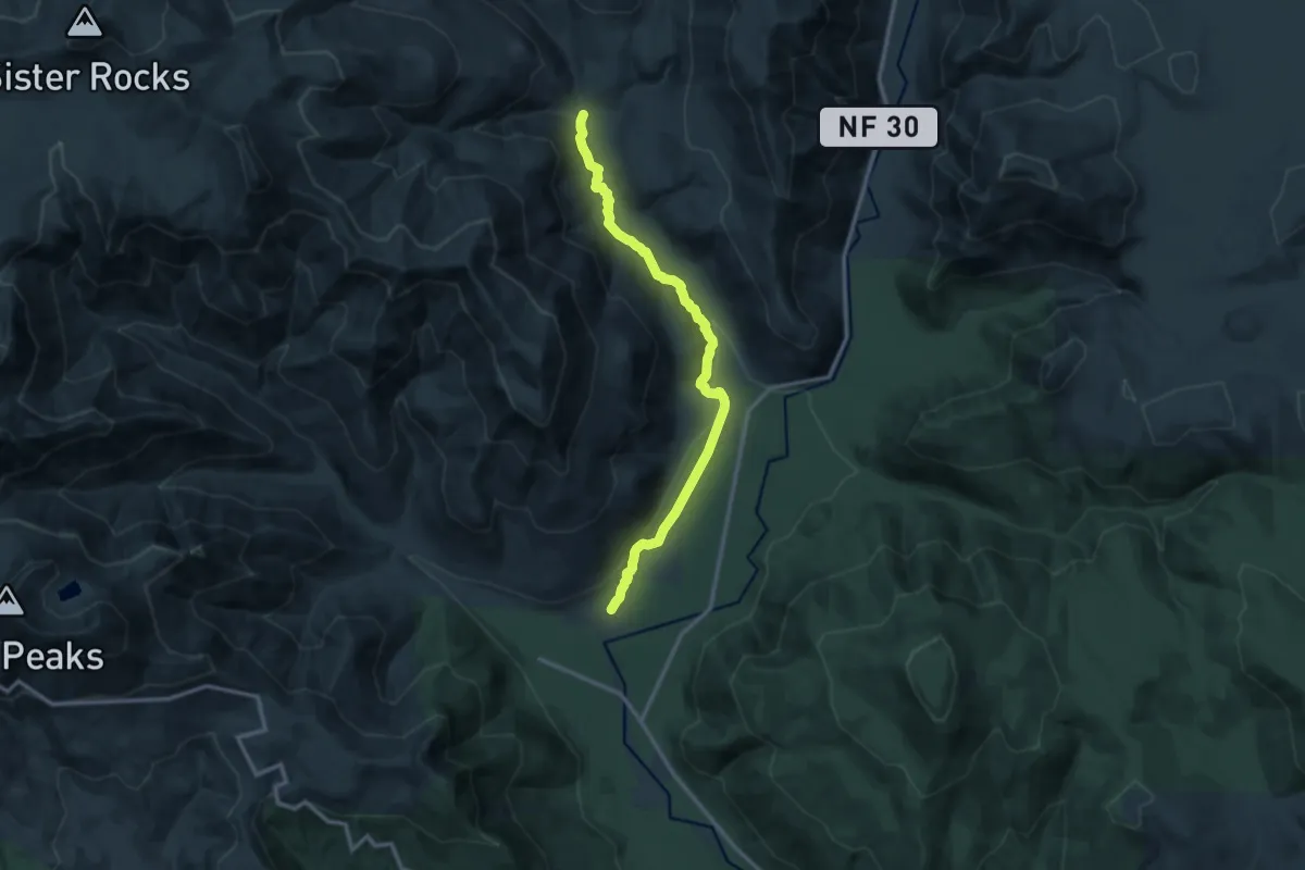
Medium · Trail
Dry Creek Trail #194
12.4 km · ↑ 185 m · 3 h 20 min
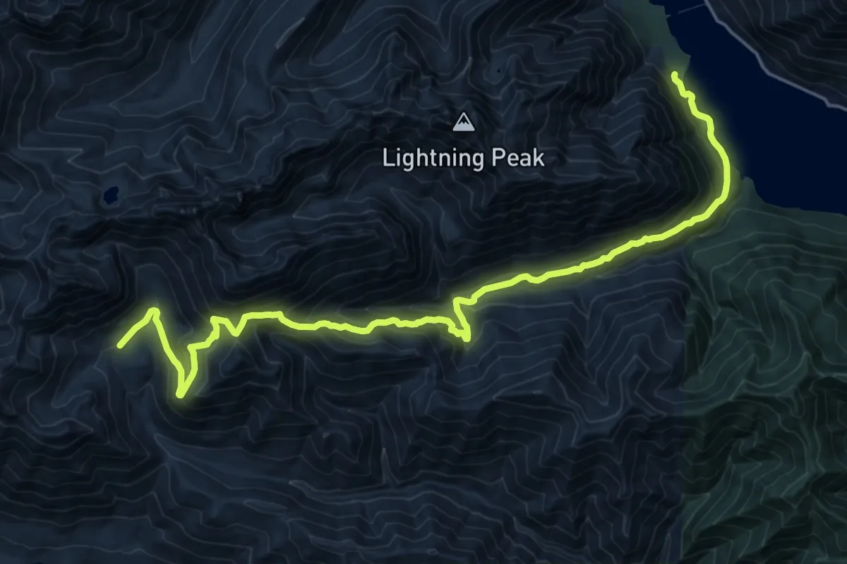
Medium · Trail
Dry Creek Trail #872
11.6 km · ↑ 459 m · 4 h 10 min
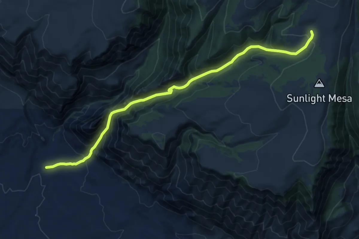
Demanding · Trail
Dry Horse Trail
14.8 km · ↑ 1076 m · 5 h 50 min
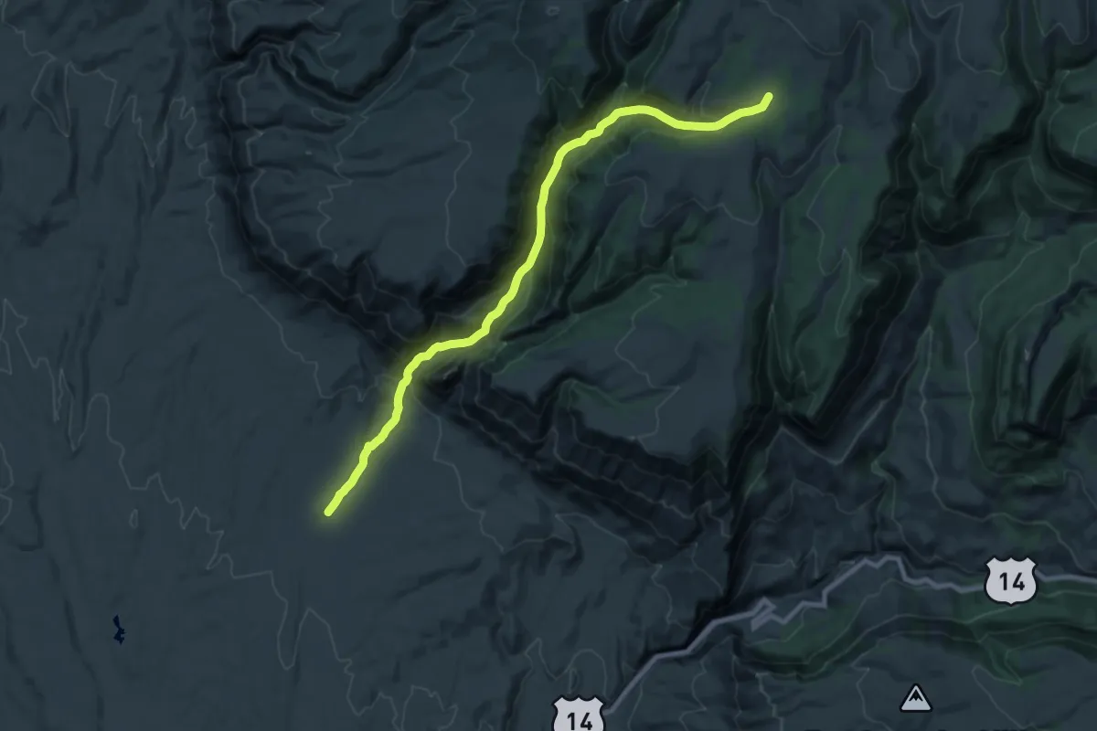
Medium · Trail
Dry Horse Trail
12.1 km · ↑ 30 m · 3 h 43 min
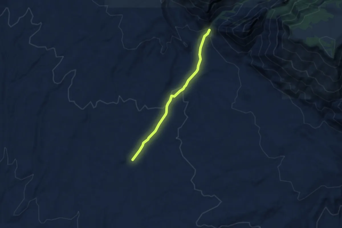
Easy · Trail
Dry Horse Trail
5.7 km · ↑ 140 m · 1 h 39 min