Trails in United States
10,367 hiking trails, each with its route, climb, walking time and grade.
All trails, page 57 of 216
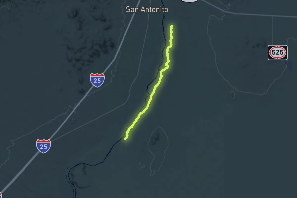
Demanding · Trail
Eastside Trail
20.2 km · ↑ 0 m · 5 h 3 min
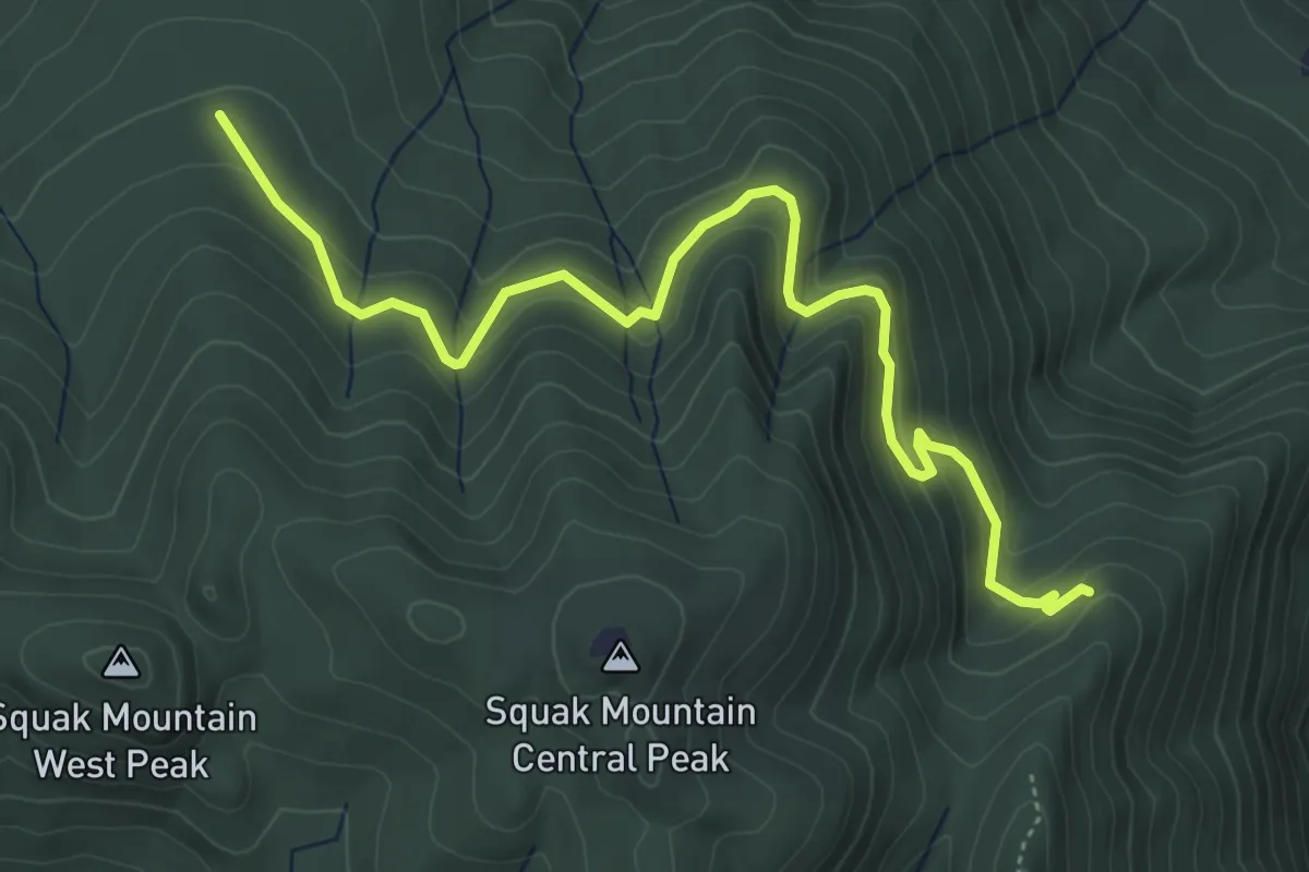
Easy · Trail
East Side Trail
5.5 km · ↑ 180 m · 1 h 41 min
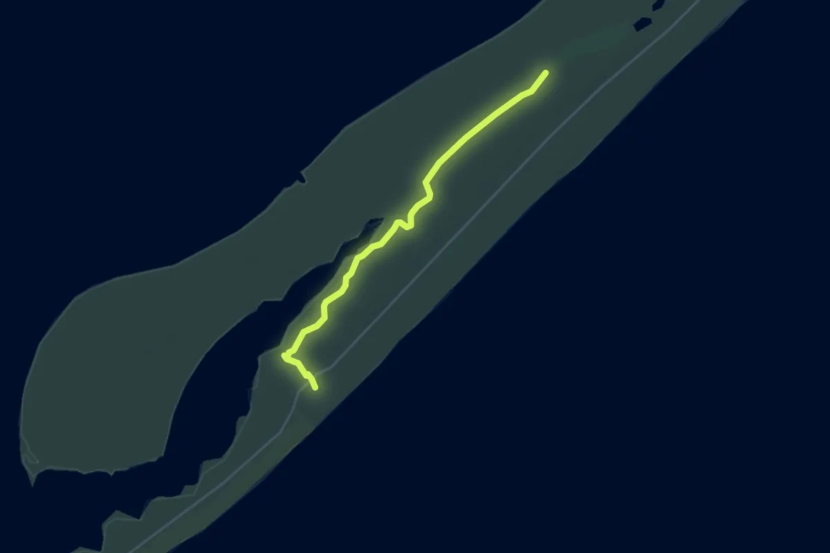
Easy · Trail
East Slough ADA Hikiing Trail
5.0 km · ↑ 0 m · 1 h 10 min
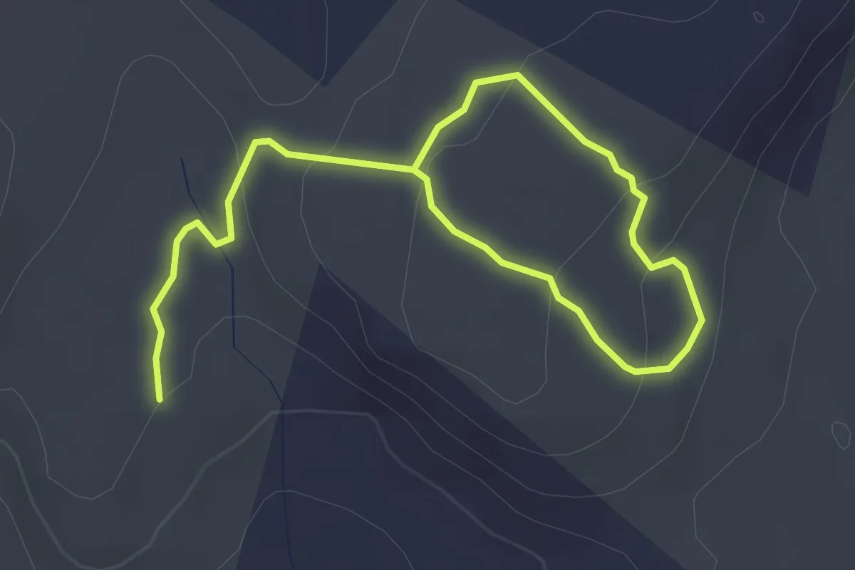
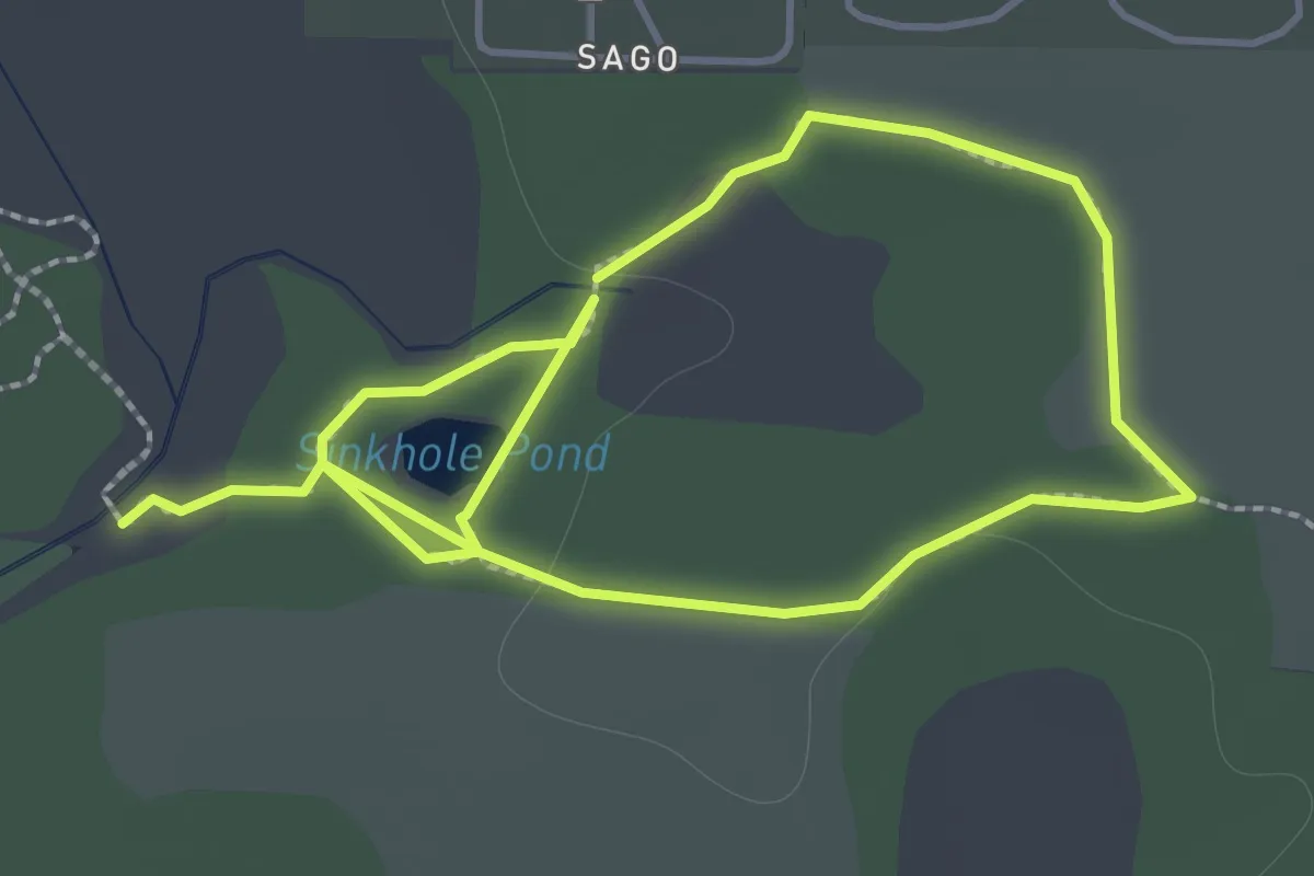
Easy · Trail
East Summit Trail
5.0 km · ↑ 158 m · 1 h 32 min
Easy · Trail
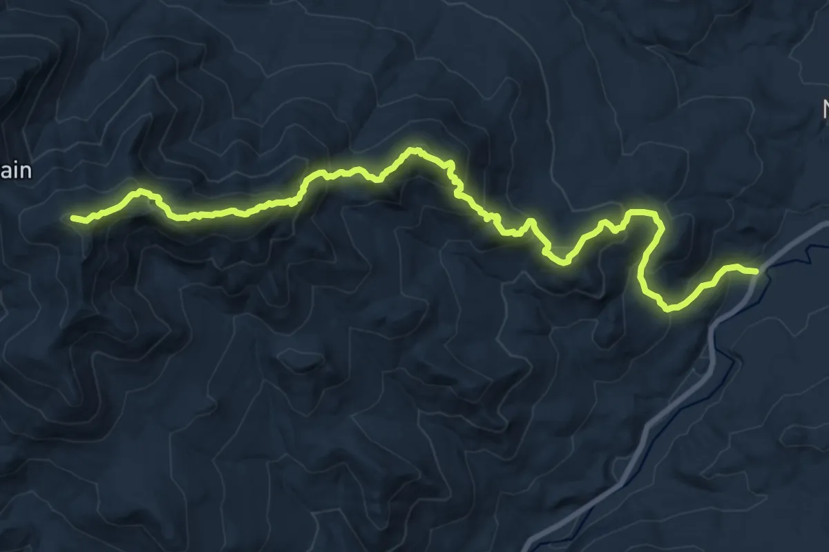
East Trail
1.8 km · ↑ 5 m · 28 min
Demanding · Summit
East Trail
19.1 km · ↑ 1580 m · 7 h 56 min
Easy · Trail
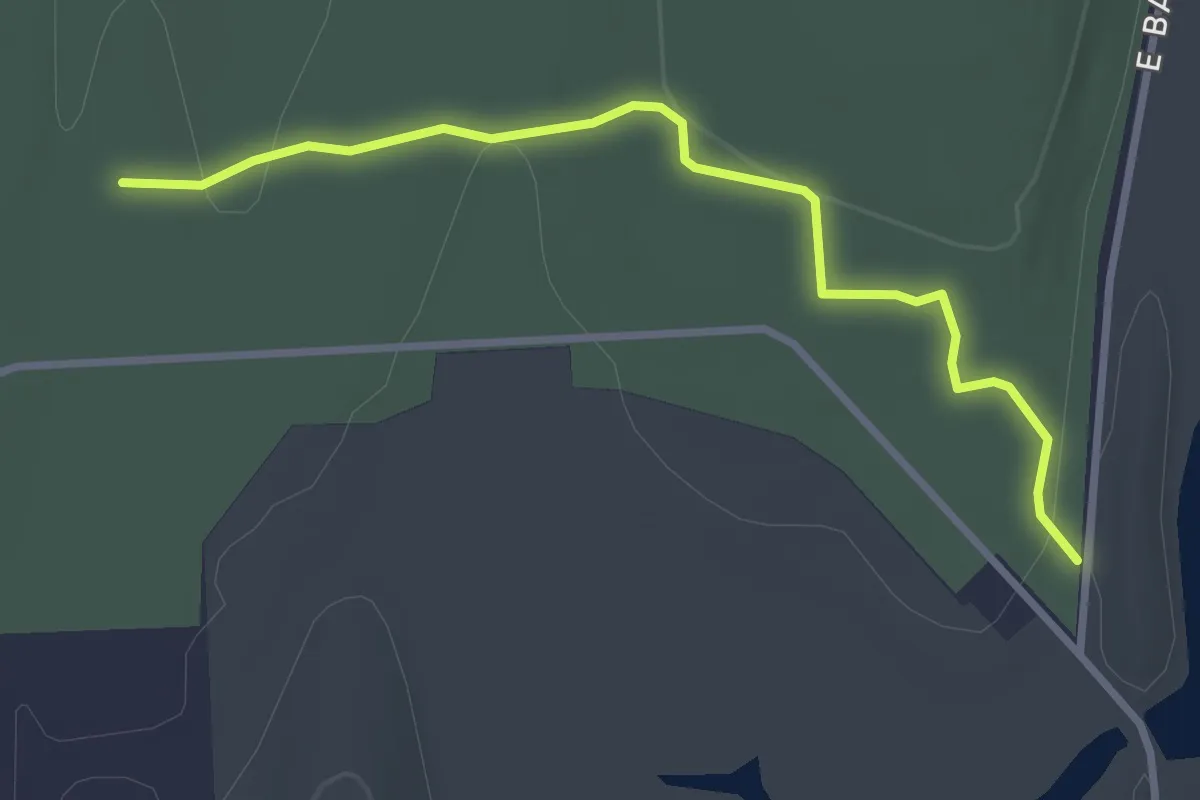
East Trail
4.1 km · ↑ 119 m · 1 h 14 min
Easy · Trail
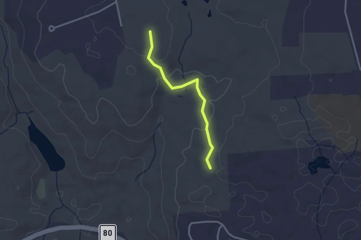
East-West Trail
3.4 km · ↑ 32 m · 52 min
Easy · Trail
East Woods Connector
2.4 km · ↑ 73 m · 43 min
Easy · Trail
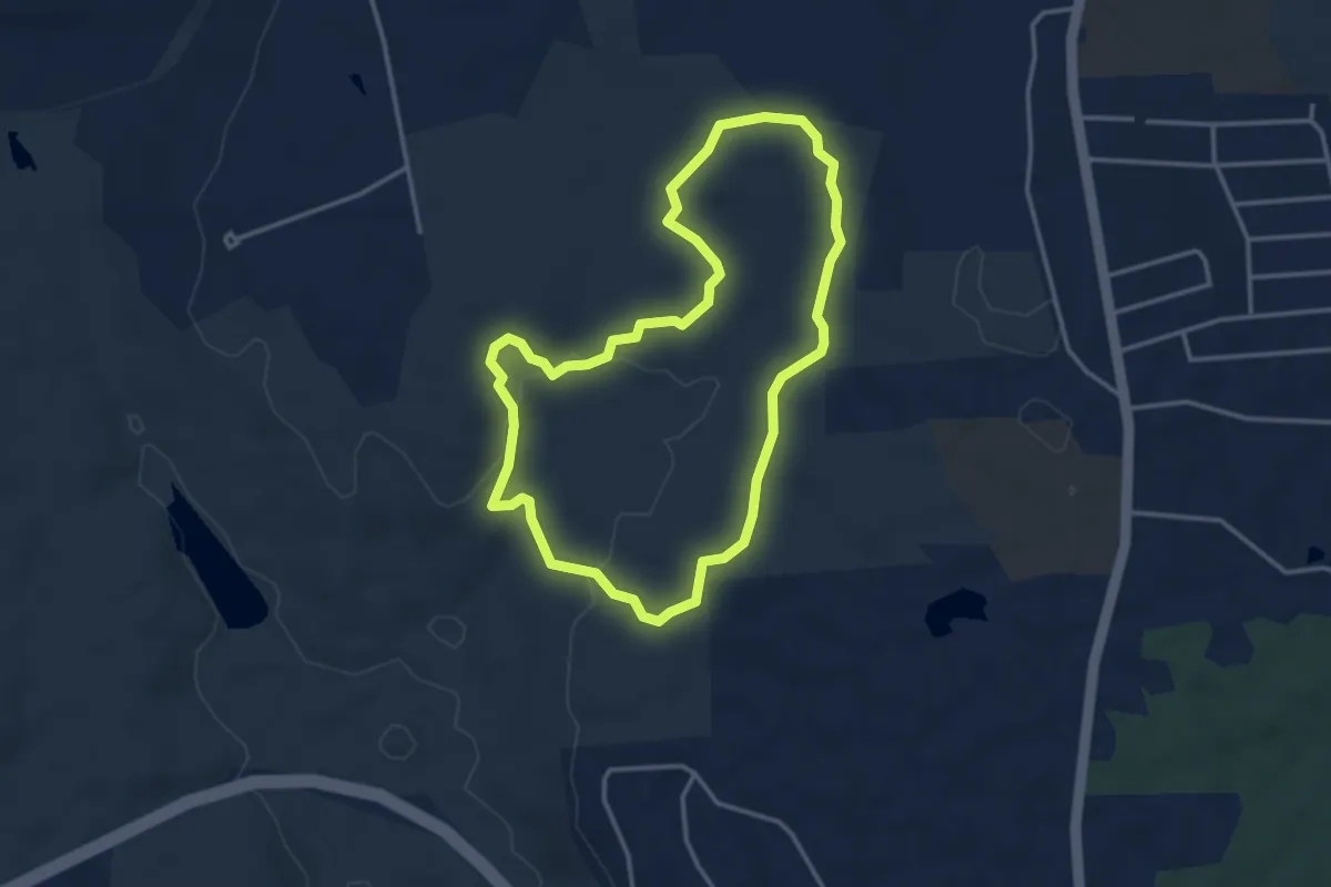
East Woods Trail
3.7 km · ↑ 118 m · 1 h 10 min
Easy · Trail
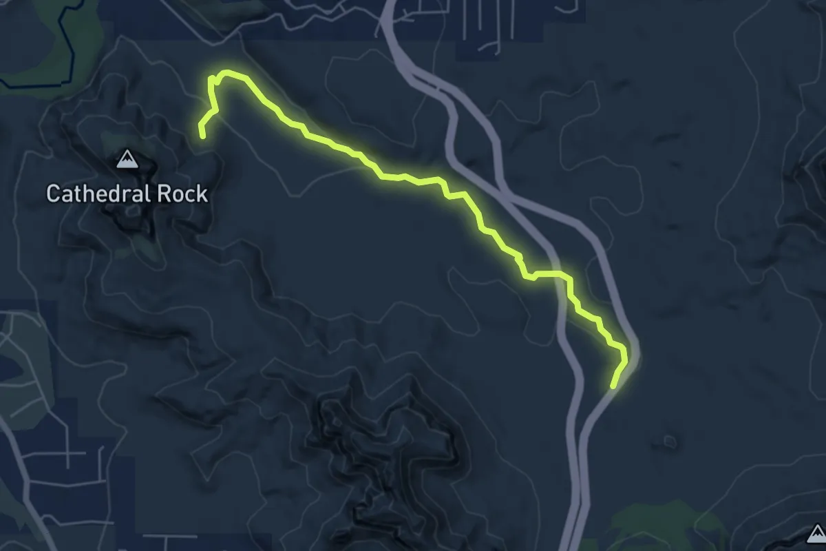
Easy Breezy #192
6.9 km · ↑ 113 m · 1 h 52 min
Demanding · Trail
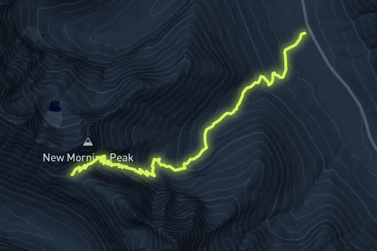
Easy Pass Trail
11.0 km · ↑ 880 m · 4 h 30 min
Easy · Trail
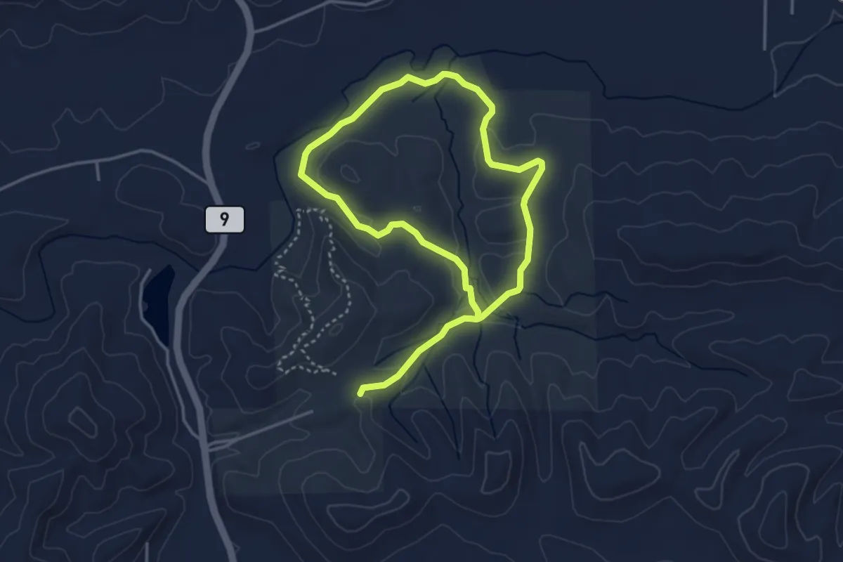
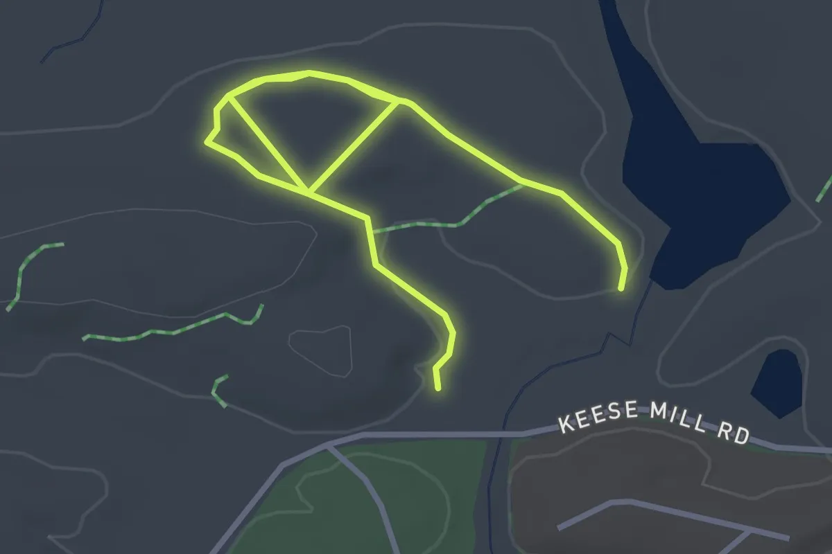
Easy Rider
7.2 km · ↑ 105 m · 1 h 56 min
Easy · Trail
Easy Street
4.6 km · ↑ 46 m · 1 h 11 min
Easy · Trail
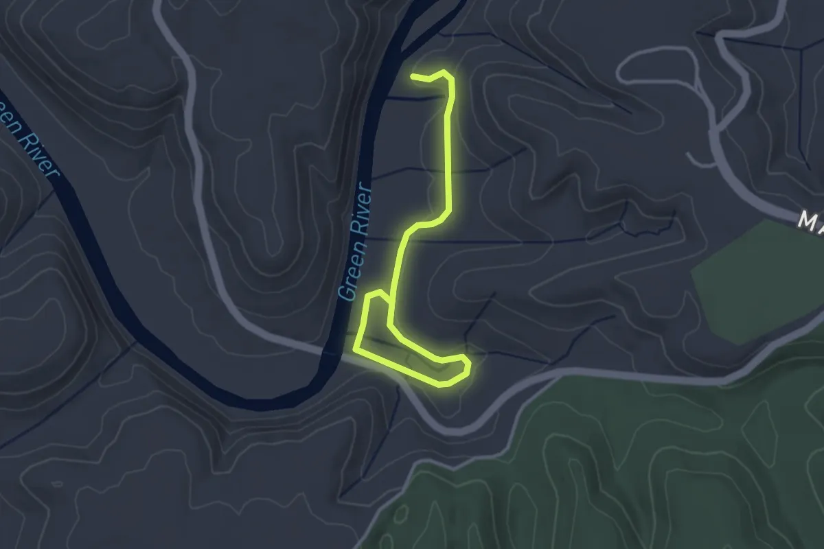
Eat, Explore, Shop Kearns!
1.5 km · ↑ 5 m · 24 min
Easy · Trail
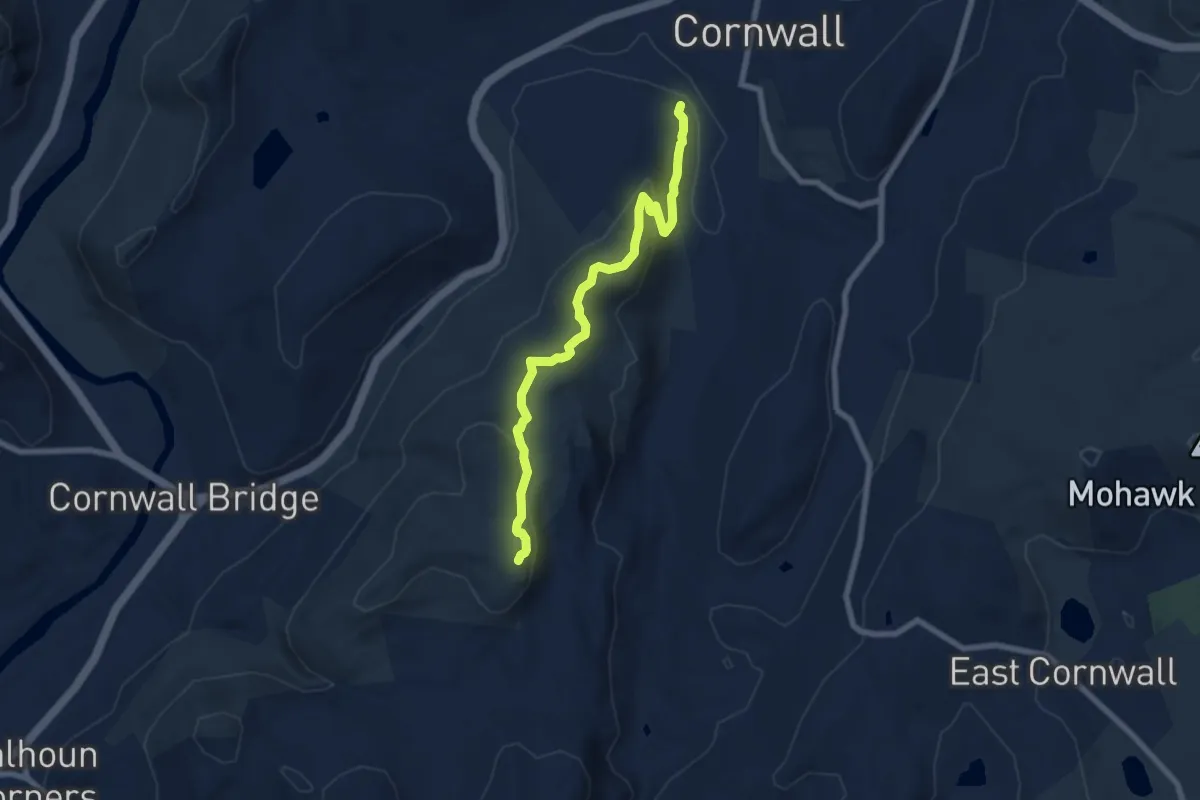
Echo River Springs Trail
4.0 km · ↑ 46 m · 1 h 3 min
Medium · Trail
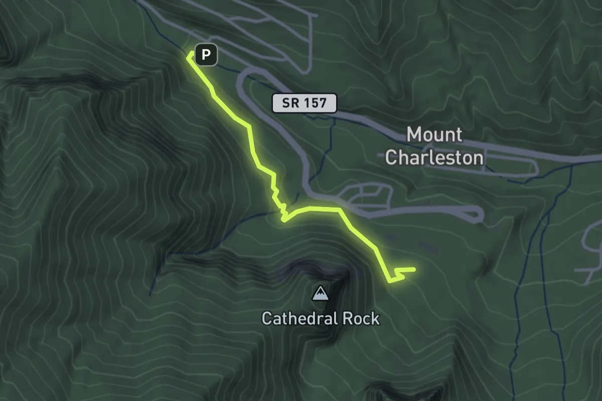
Echo Rock Spur
7.9 km · ↑ 331 m · 2 h 35 min
Easy · Trail
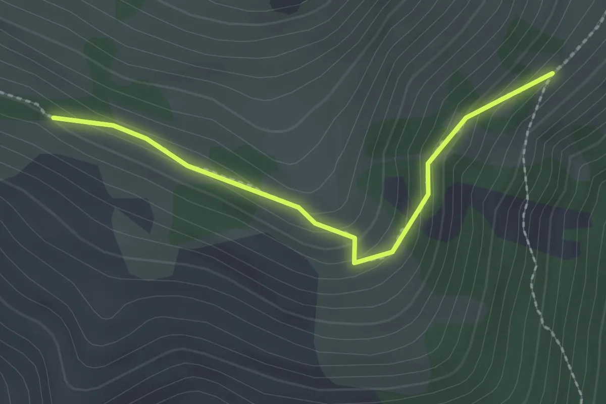
Echo Trail
3.1 km · ↑ 114 m · 58 min
Easy · Trail
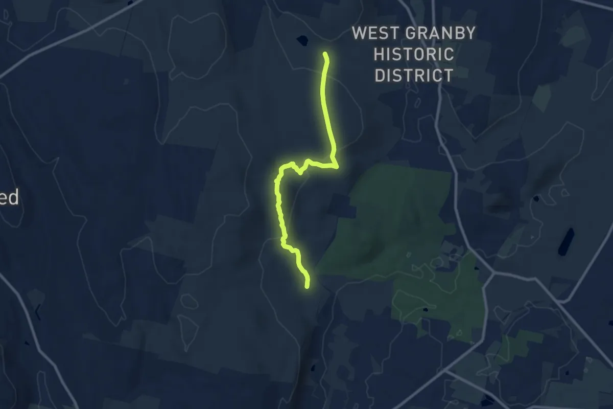
Edds Mountain Trail
2.1 km · ↑ 114 m · 44 min
Medium · Trail
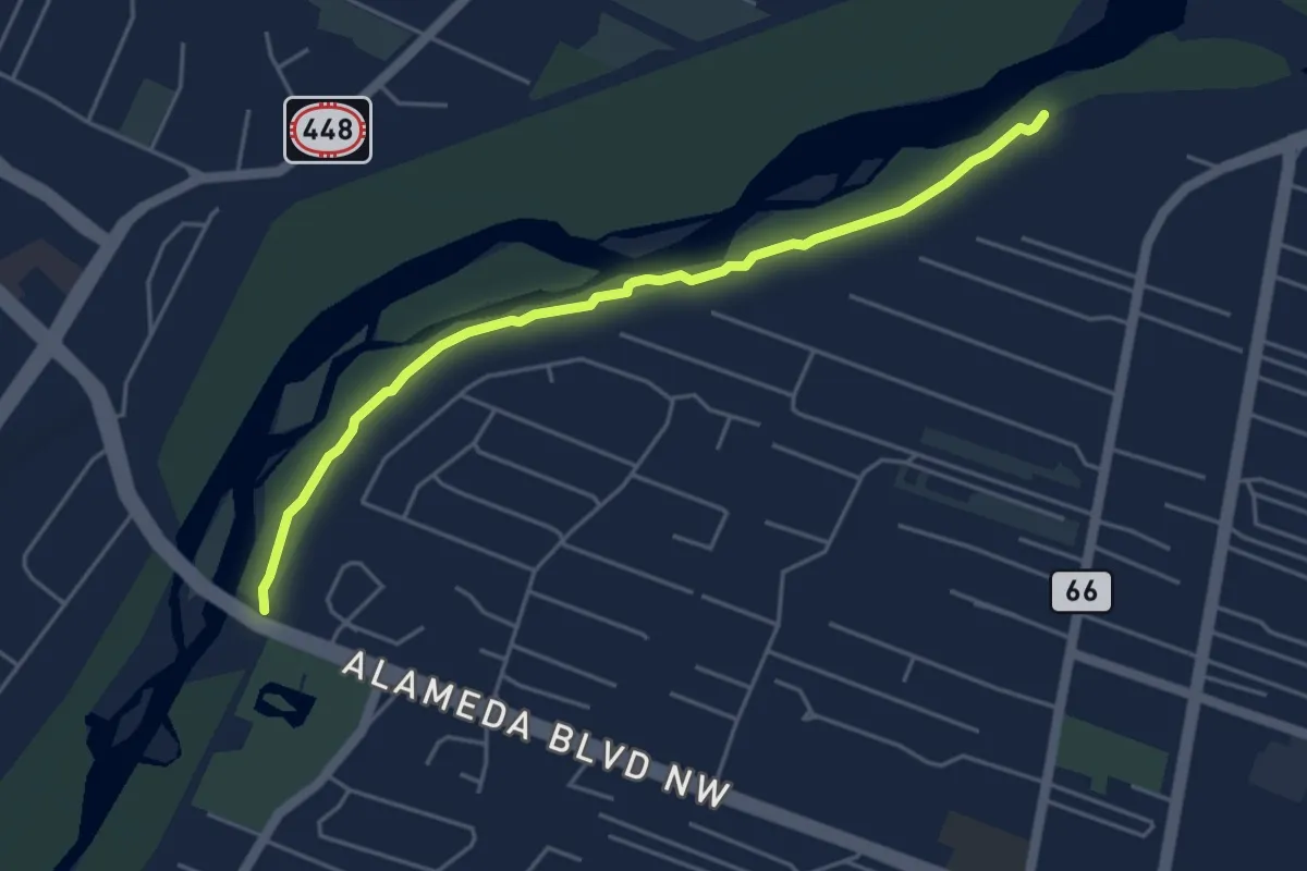
Eddy Trail
8.8 km · ↑ 344 m · 2 h 49 min
Easy · Trail
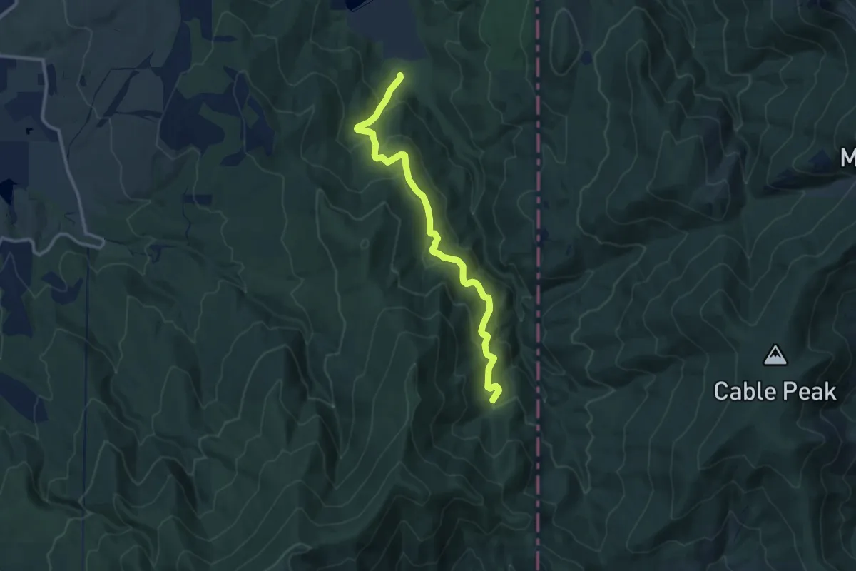
Ed Hillsman Trail
5.6 km · ↑ 0 m · 1 h 20 min
Medium · Trail
Edith Hanson Trail
10.4 km · ↑ 413 m · 3 h 21 min
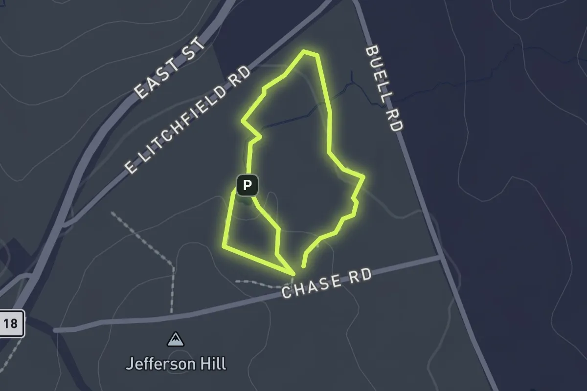
Easy · Trail
Edith M. Chase Ecology Trail
2.4 km · ↑ 40 m · 39 min
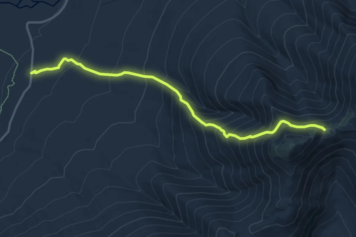
Medium · Trail
Edmands Path
8.8 km · ↑ 744 m · 3 h 42 min
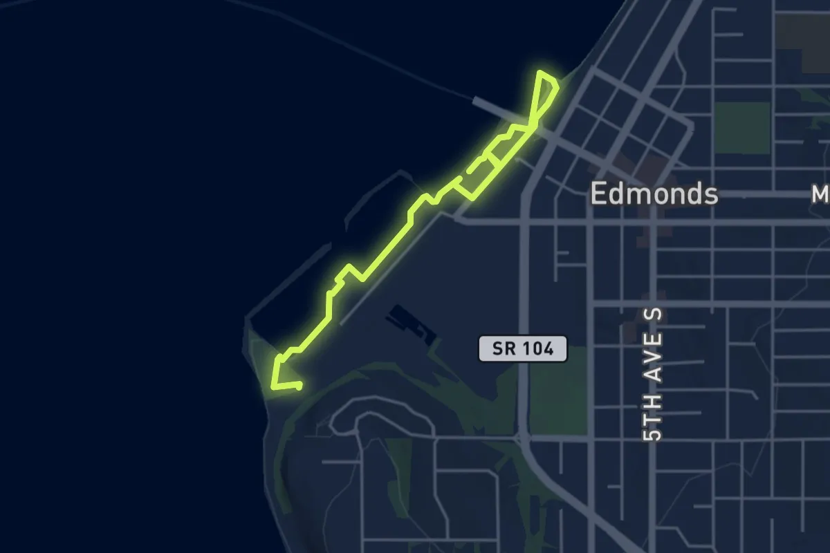
Easy · Trail
Edmonds Marine Walkway
4.9 km · ↑ 8 m · 1 h 11 min
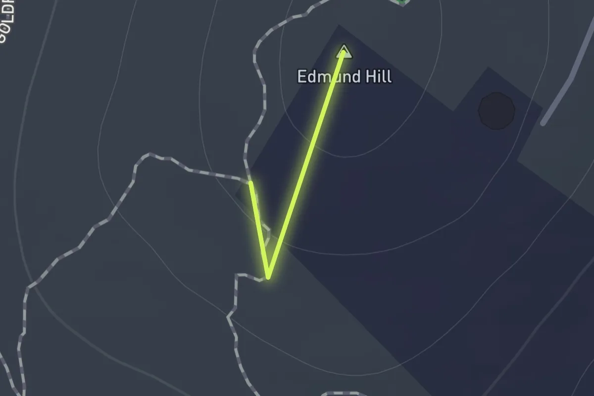
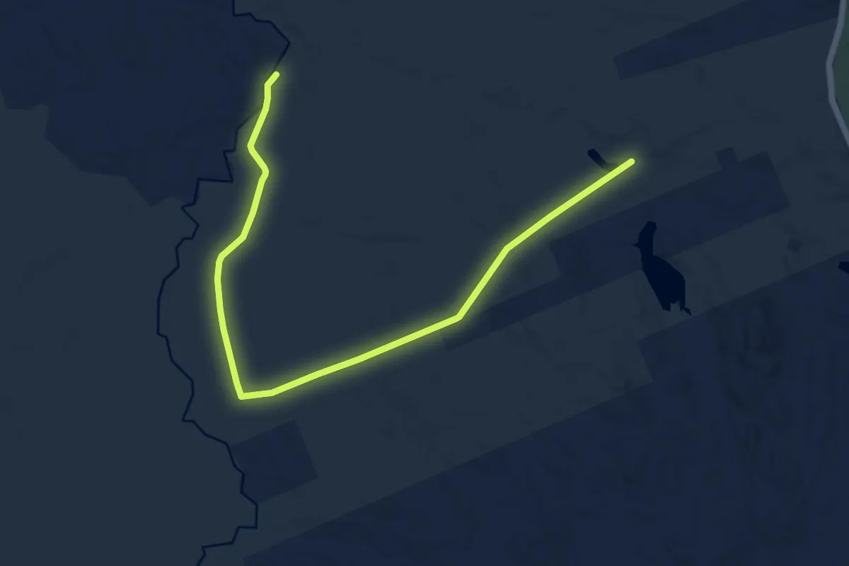
Medium · Summit
Edmund Hill Trail
0.4 km · ↑ 24 m · 9 min
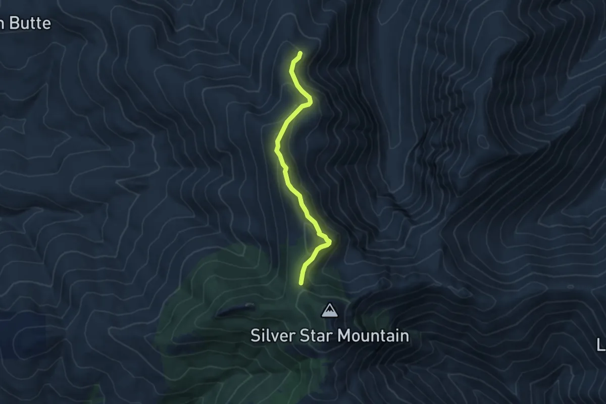
Medium · Trail
Edmunds Wilderness Trail
11.4 km · ↑ 122 m · 2 h 57 min
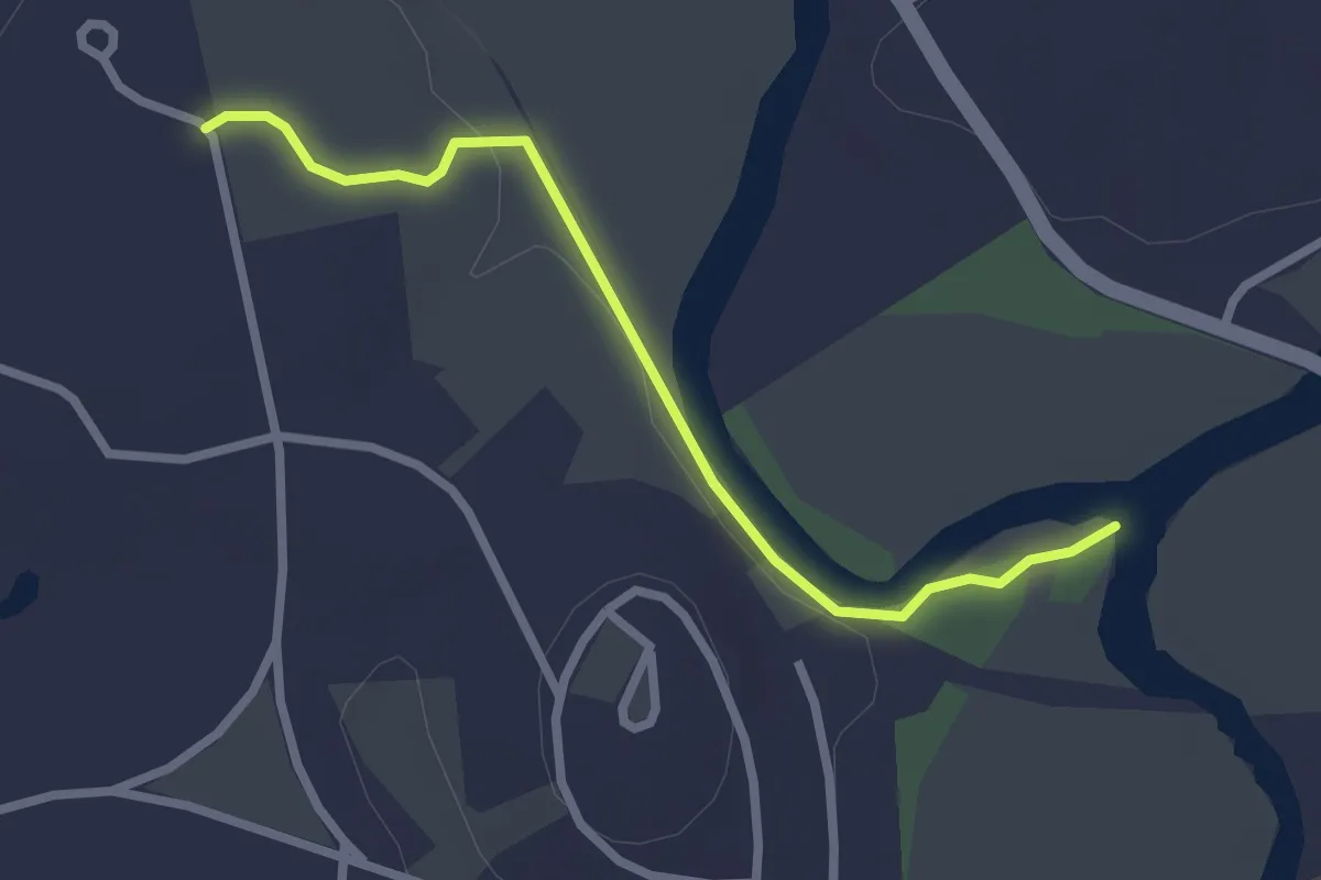
Medium · Trail
Ed's Trail
4.9 km · ↑ 305 m · 1 h 49 min
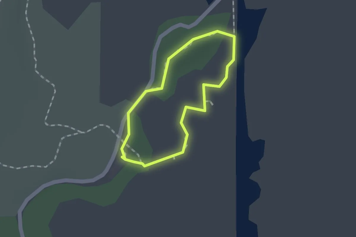
Easy · Trail
Egg Rock Trail
2.7 km · ↑ 14 m · 40 min
Easy · Trail
Egret Hiking Trail
1.0 km · ↑ 0 m · 15 min
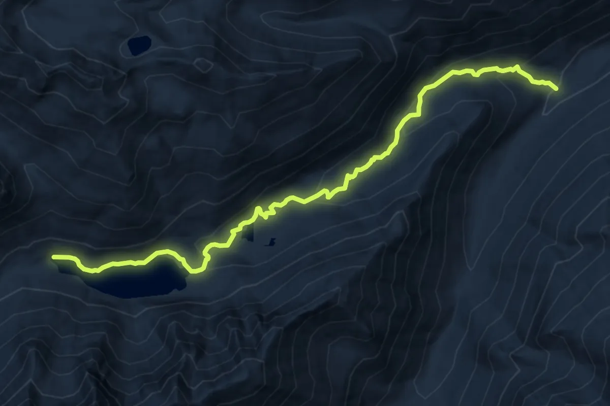
Medium · Trail
Eightmile Lake Trail
12.7 km · ↑ 451 m · 3 h 58 min
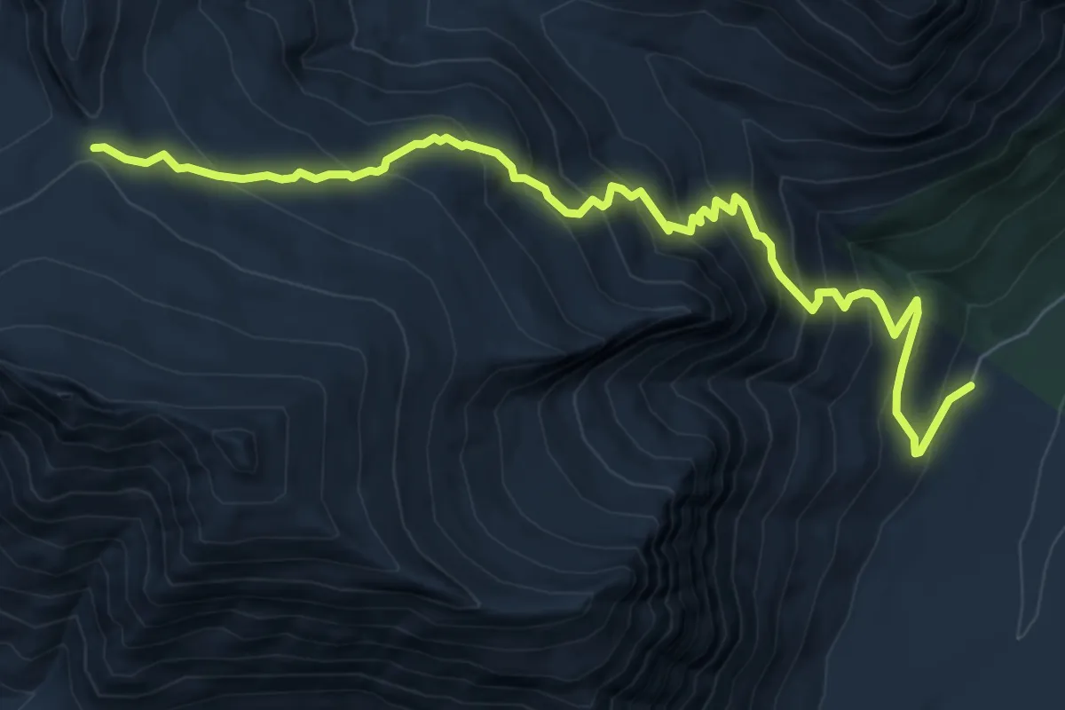
Demanding · Trail
Eight-Mile Trail
7.8 km · ↑ 744 m · 3 h 27 min
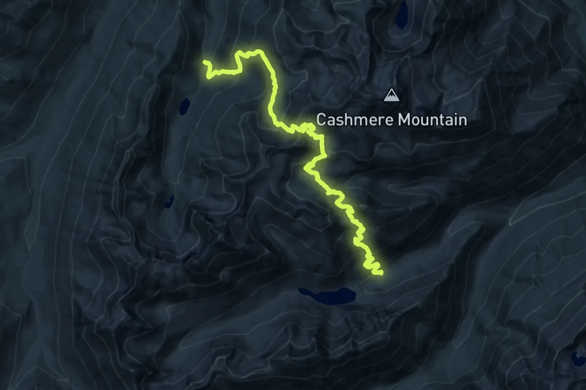
Demanding · Trail
Eightmile-Trout Creek Trail
12.2 km · ↑ 946 m · 5 h 5 min
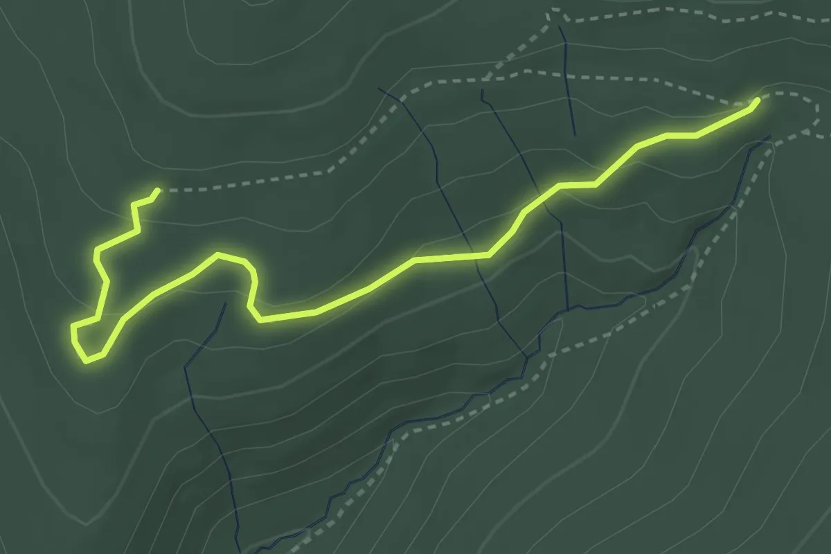
Easy · Trail
Eignor Trail
4.0 km · ↑ 137 m · 1 h 14 min
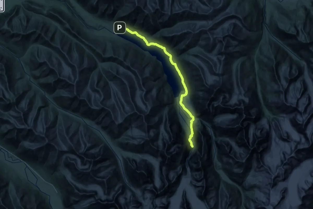
Demanding · Trail
Eklutna Lakeside Trail
20.5 km · ↑ 235 m · 5 h 36 min
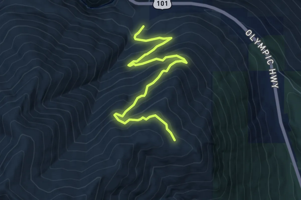
Medium · Trail
Elbo Creek Trail #892.1
7.7 km · ↑ 577 m · 3 h 5 min
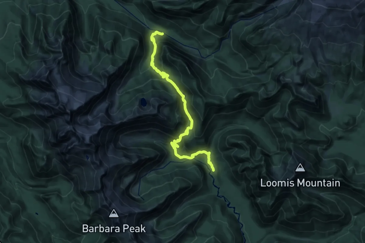
Medium · Trail
Elbow Lake Trail
11.8 km · ↑ 602 m · 4 h 16 min
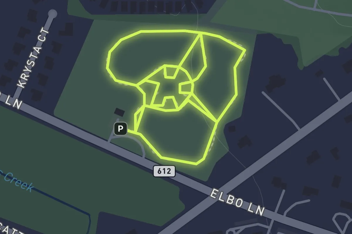
Easy · Trail
Elbow Park Walking Paths
1.7 km · ↑ 5 m · 26 min
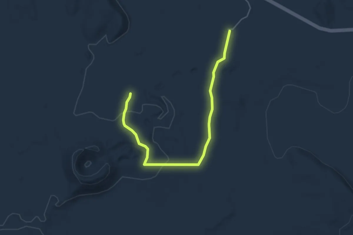
Easy · Trail
El Calderon Trail
5.3 km · ↑ 77 m · 1 h 25 min
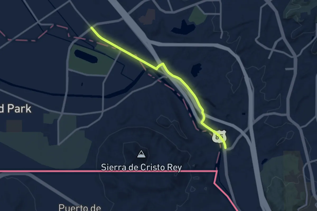
Medium · Trail
El Camino Real de Tierra Adentro National Historic Trail - El Paso County
8.9 km · ↑ 50 m · 2 h 12 min
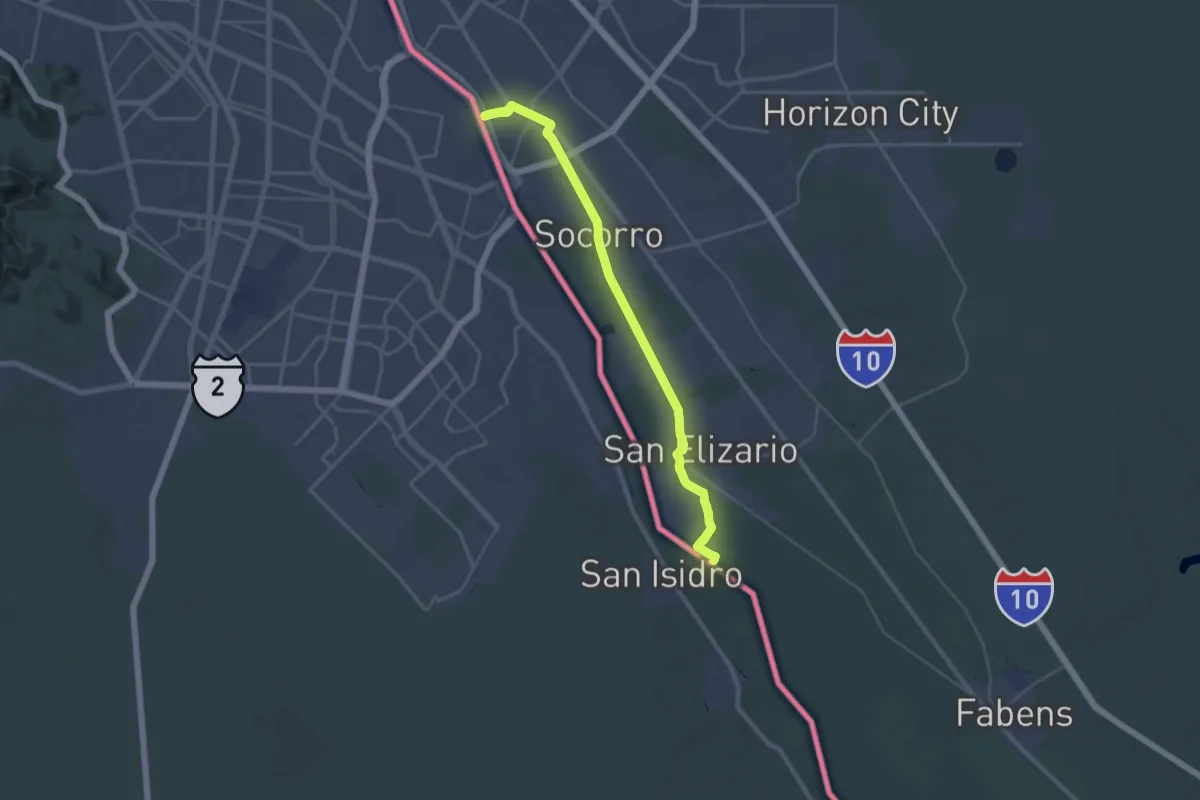
Demanding · Trail
El Camino Real de Tierra Adentro National Historic Trail - Mission Trail
21.1 km · ↑ 12 m · 5 h 18 min
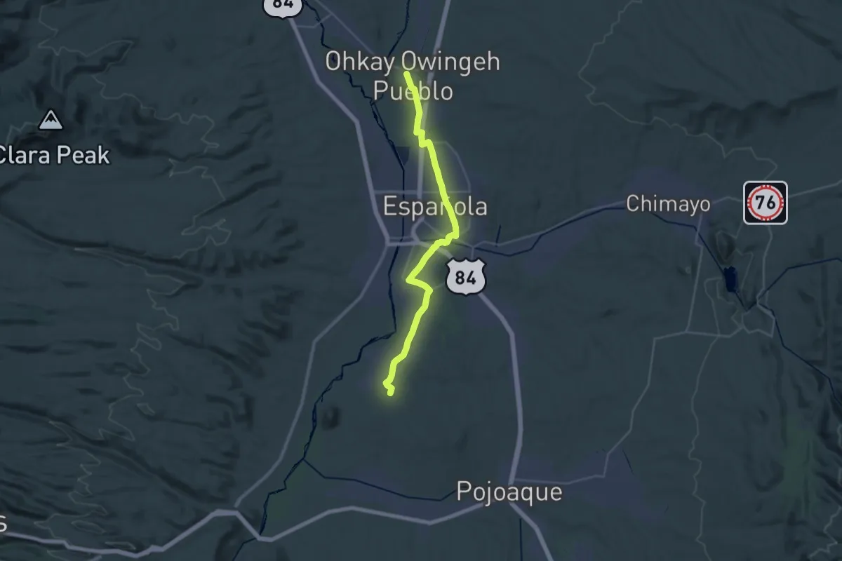
Medium · Trail
El Camino Real de Tierra Adentro National Historic Trail - Ohkay Owingeh Branch - Rio Arriba County
17.0 km · ↑ 26 m · 4 h 19 min
Demanding · Trail
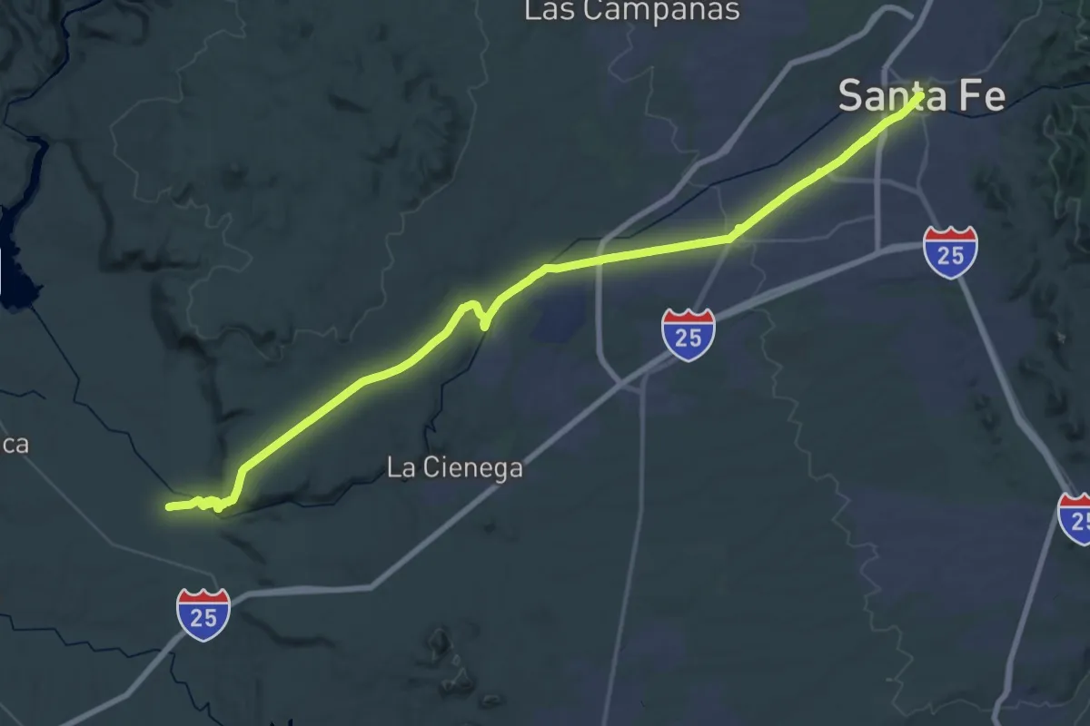
El Camino Real de Tierra Adentro National Historic Trail - Santa Fe County
36.4 km · ↑ 519 m · 10 h
Medium · Trail
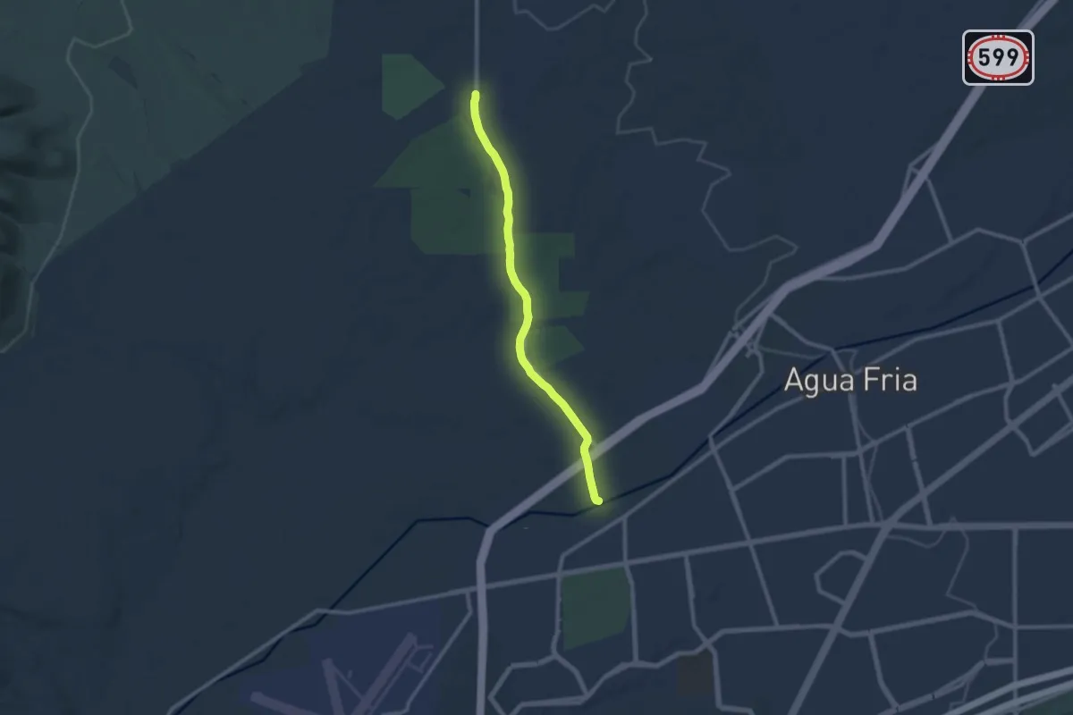
El Camino Real de Tierra Adentro Recreation Trail
10.8 km · ↑ 72 m · 2 h 42 min
Medium · Trail
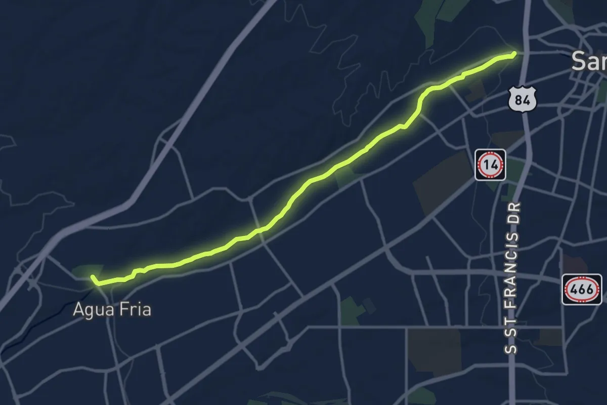
El Camino Real Hiking Trail
15.1 km · ↑ 100 m · 3 h 47 min
Medium · Trail
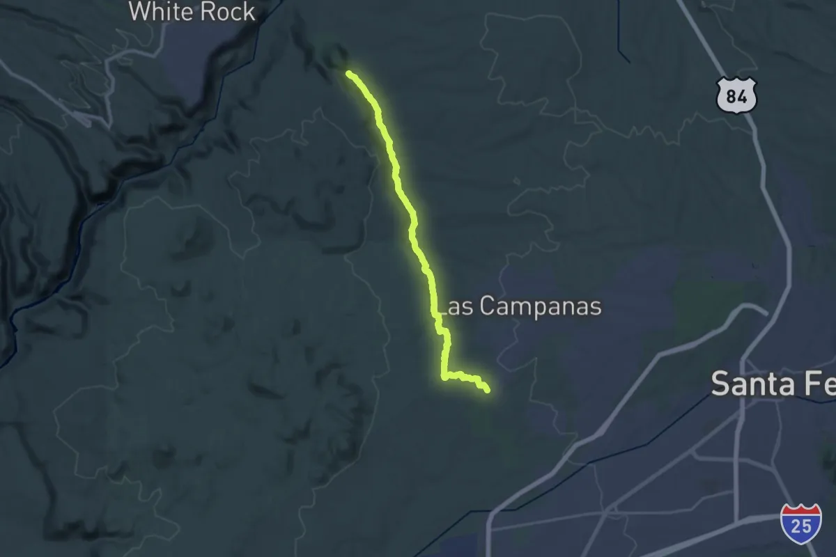
El Camino Real Historic Route Trail
17.5 km · ↑ 228 m · 4 h 46 min
Medium · Trail
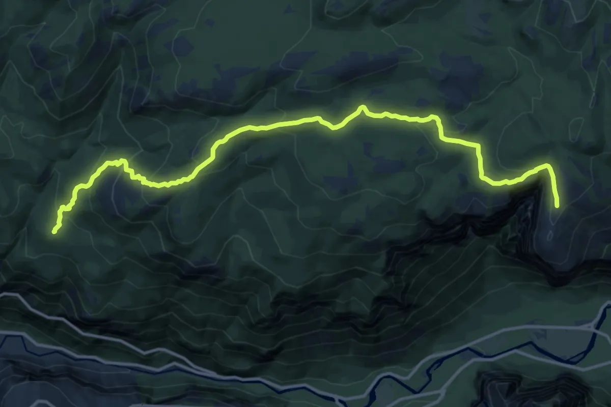
El Capitan Trail
16.7 km · ↑ 799 m · 5 h 41 min
Medium · Summit
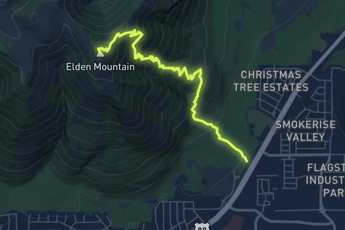
Elden Lookout Trail
8.3 km · ↑ 734 m · 3 h 33 min