Trails in United States
10,367 hiking trails, each with its route, climb, walking time and grade.
All trails, page 63 of 216
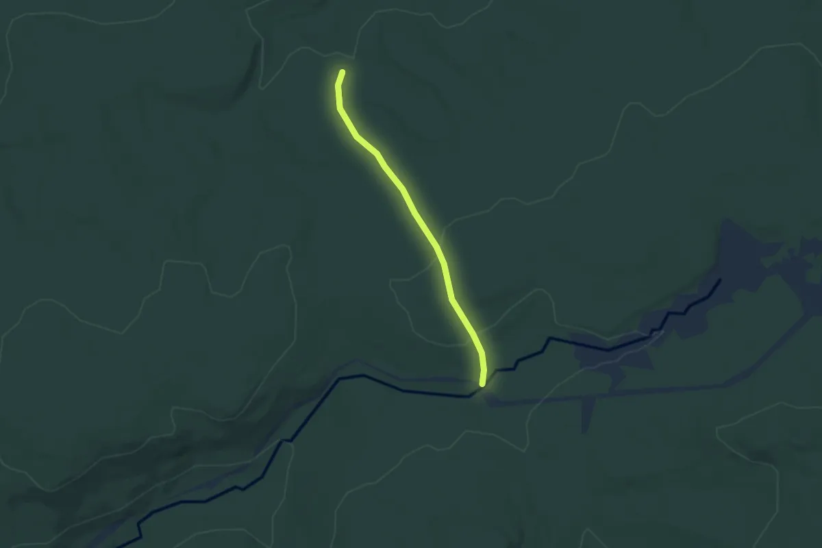
Easy · Trail
Fire Trail #6
3.3 km · ↑ 68 m · 55 min
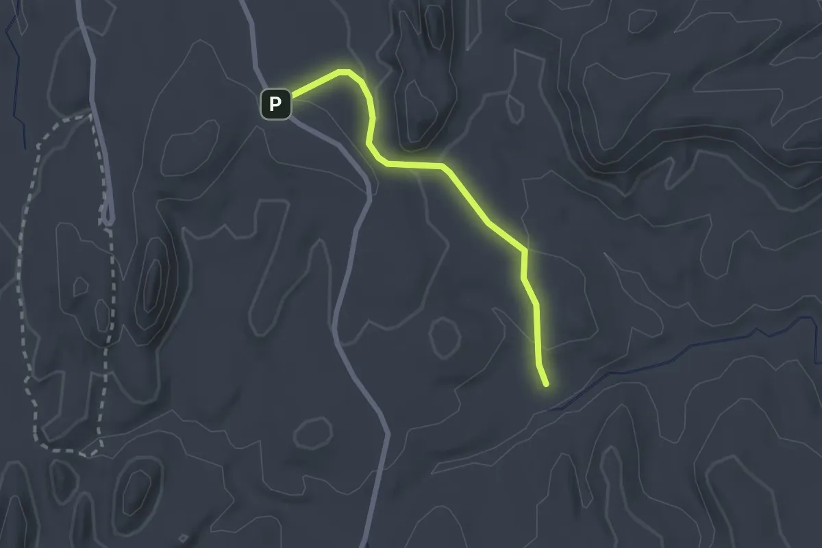
Easy · Trail
Fire Wave Trail
2.2 km · ↑ 74 m · 41 min
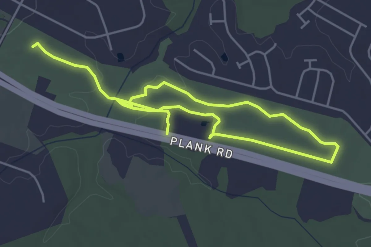
Easy · Trail
First Day at Chancellorsville Trail
7.7 km · ↑ 74 m · 1 h 59 min
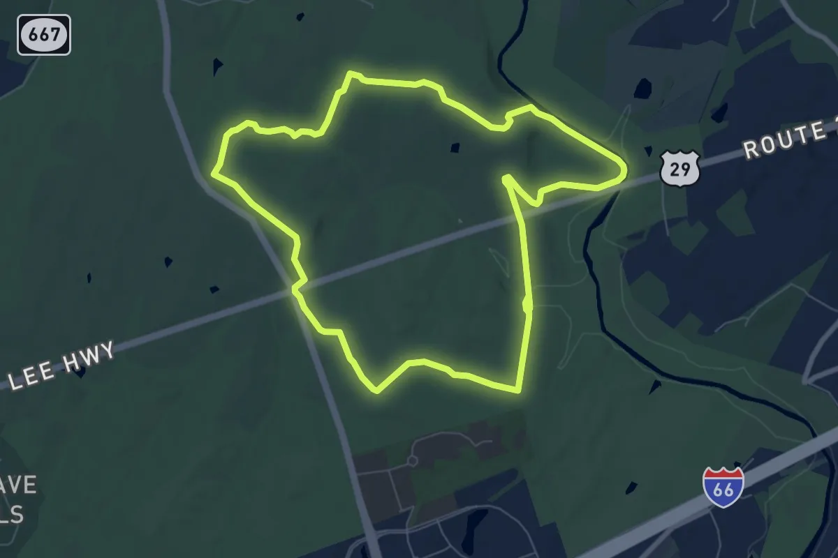
Medium · Summit
First Manassas Trail
8.4 km · ↑ 100 m · 2 h 18 min
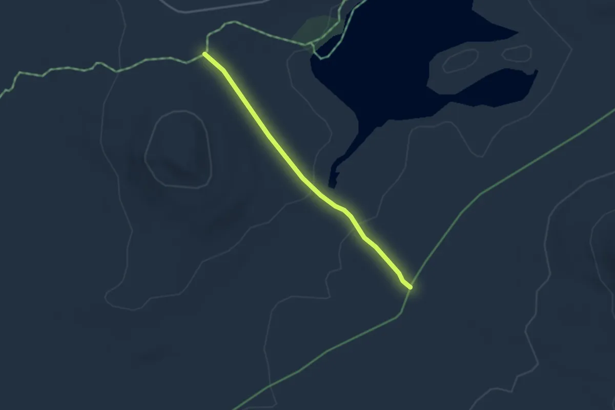
Easy · Trail
First West Branch Cutoff
2.9 km · ↑ 35 m · 46 min
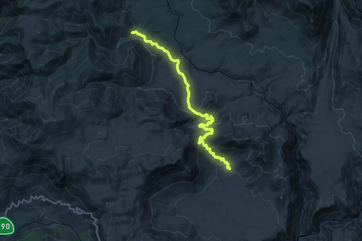
Medium · Trail
Fish Creek Trail
14.9 km · ↑ 649 m · 5 h 3 min
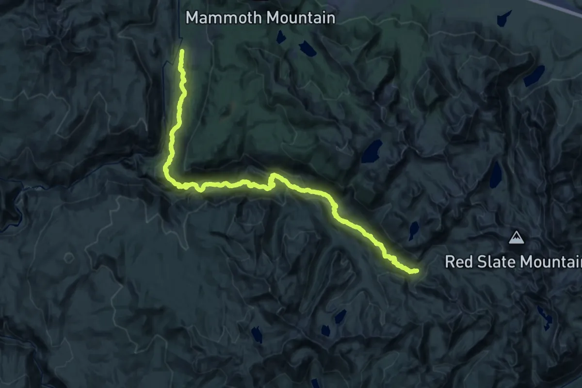
Demanding · Trail
Fish Creek Trail
30.6 km · ↑ 687 m · 9 h 24 min
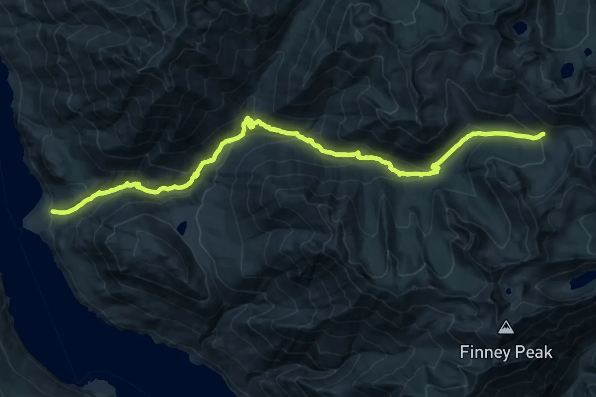
Demanding · Trail
Fish Creek Trail
15.1 km · ↑ 1780 m · 6 h 48 min
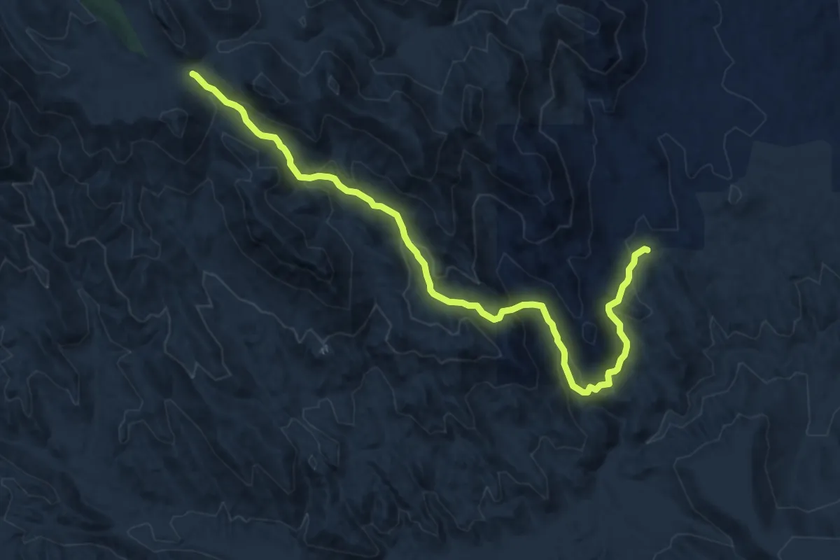
Medium · Trail
Fisher Canyon Trail #991
13.1 km · ↑ 601 m · 4 h 23 min
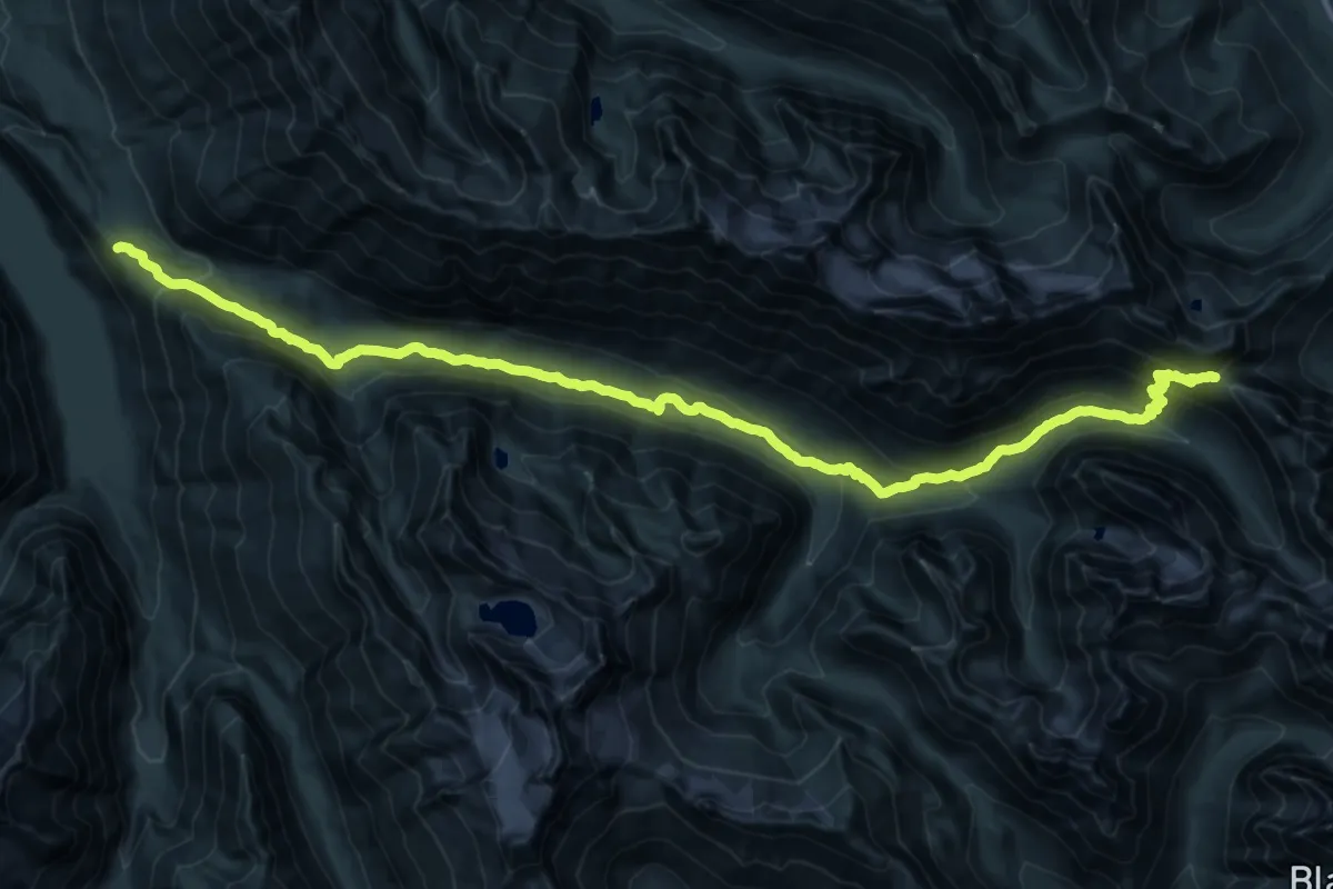
Demanding · Trail
Fisher Creek Trail
16.5 km · ↑ 1270 m · 6 h 21 min
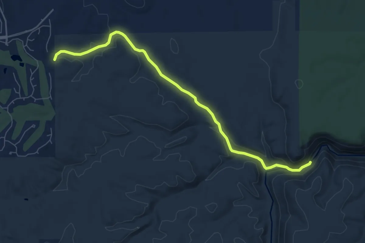
Medium · Trail
Fisher Point Trail
9.0 km · ↑ 118 m · 2 h 22 min
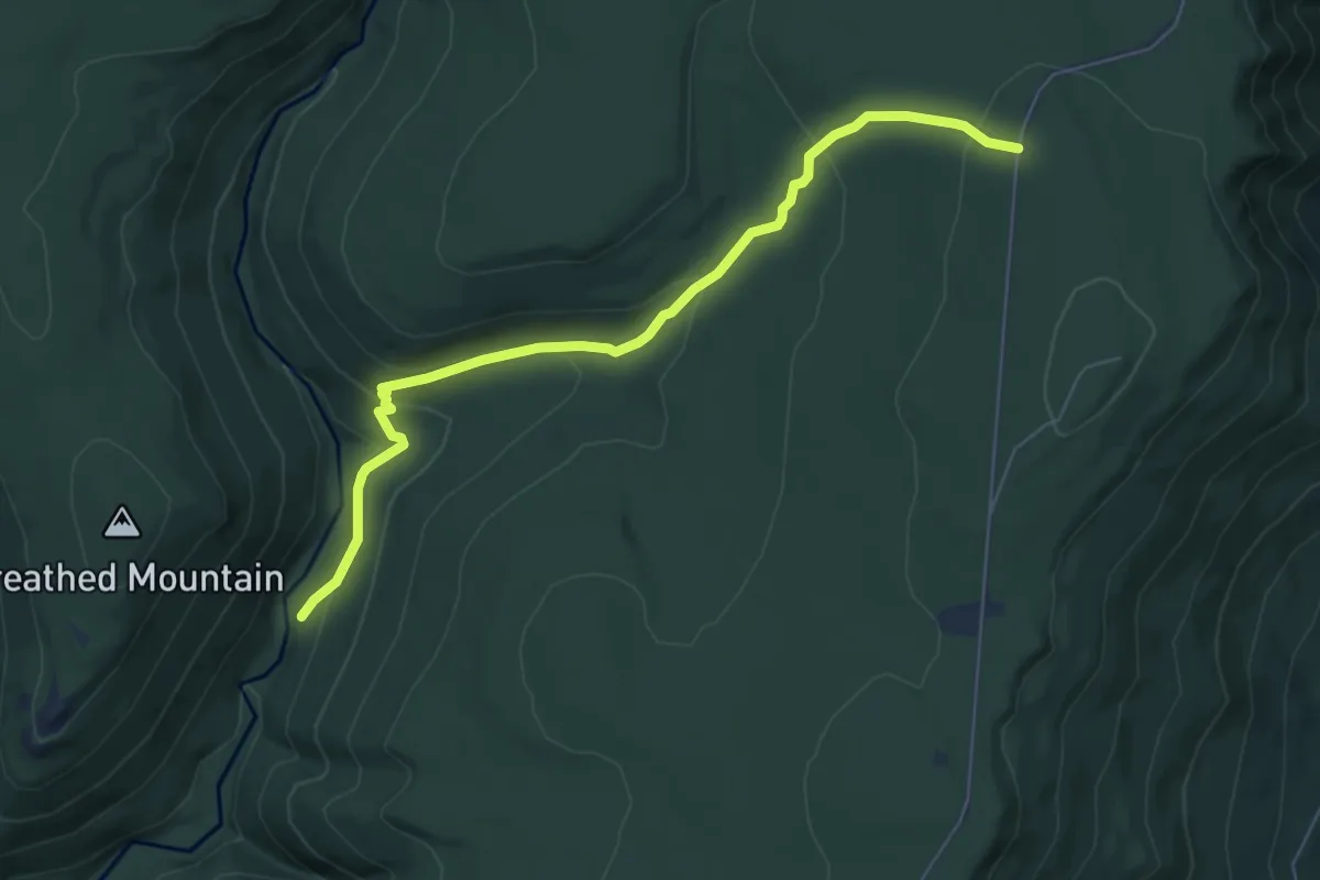
Easy · Trail
Fisher Spring Run Trail
7.5 km · ↑ 312 m · 2 h 27 min
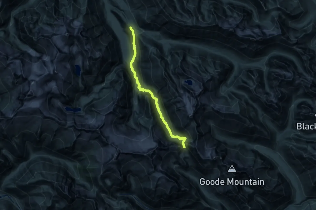
Demanding · Trail
Fisher-Thunder-Park-Cascade Cross-Park Trek
14.1 km · ↑ 1290 m · 5 h 52 min
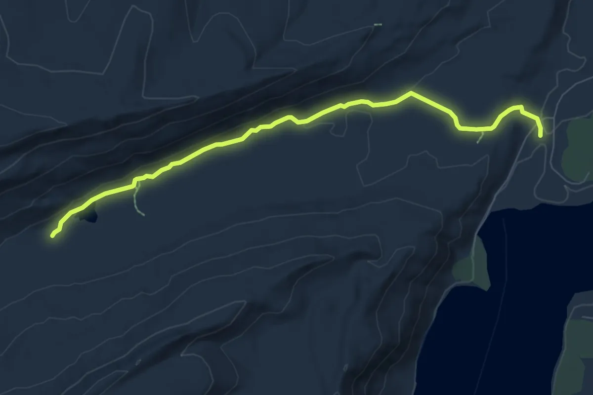
Medium · Trail
Fishhook Trail
8.1 km · ↑ 85 m · 2 h 5 min
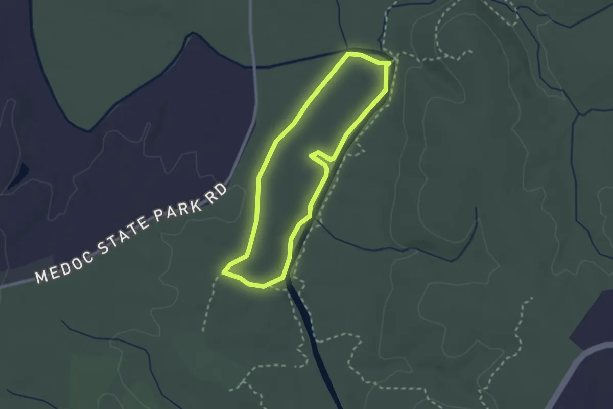
Easy · Trail
Fishing Creek Loop
2.5 km · ↑ 10 m · 38 min
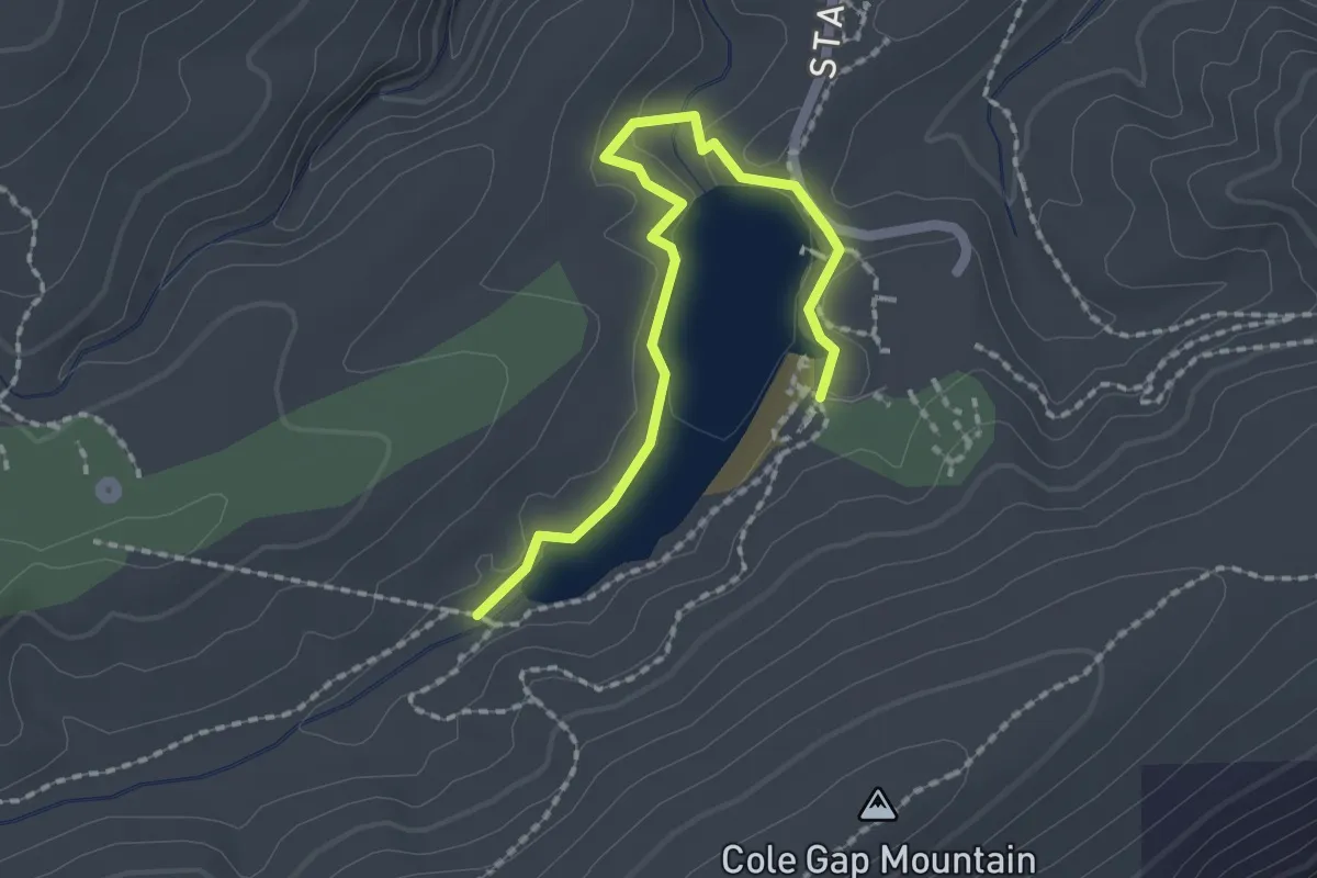
Easy · Trail
Fishing Path
2.4 km · ↑ 37 m · 39 min
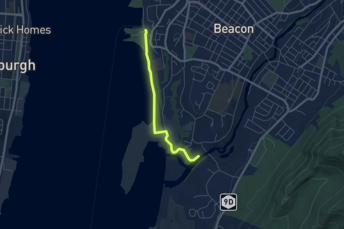
Easy · Trail
Fishkill Creek Greenway & Heritage Trail
5.0 km · ↑ 9 m · 1 h 12 min
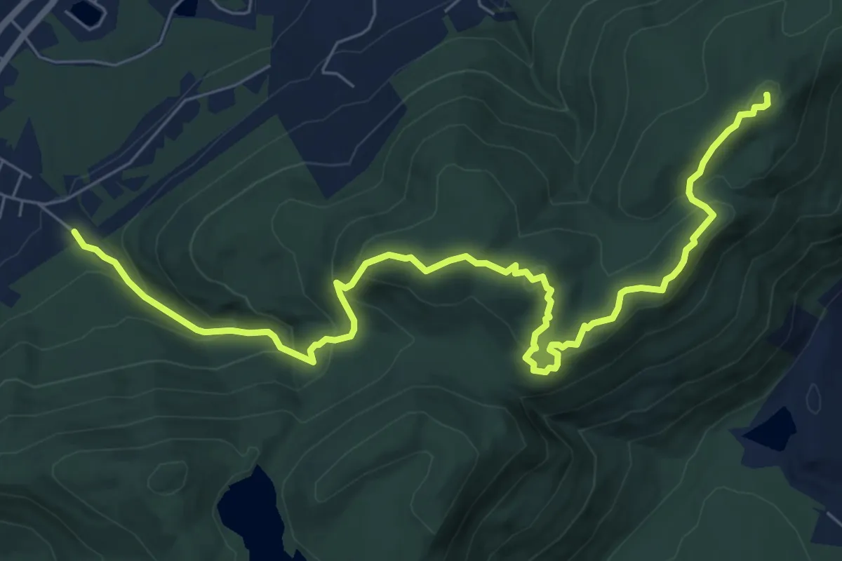
Medium · Summit
Fishkill Ridge Trail
9.6 km · ↑ 572 m · 3 h 30 min
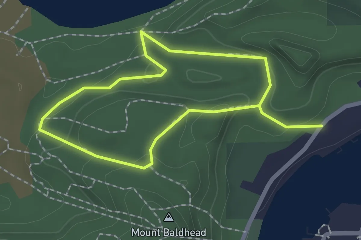
Easy · Summit
Fishtown Trail
1.5 km · ↑ 62 m · 30 min
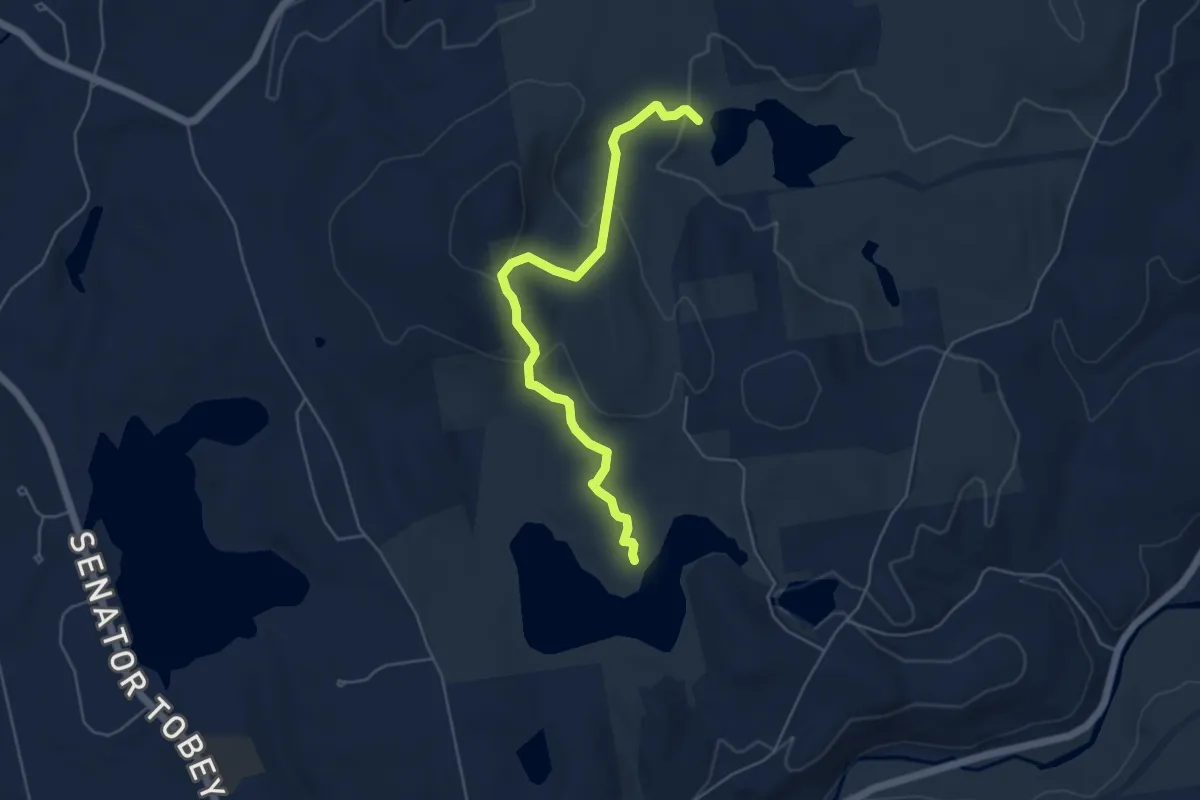
Easy · Trail
Fisk Hill - Spring Trail
5.6 km · ↑ 249 m · 1 h 52 min
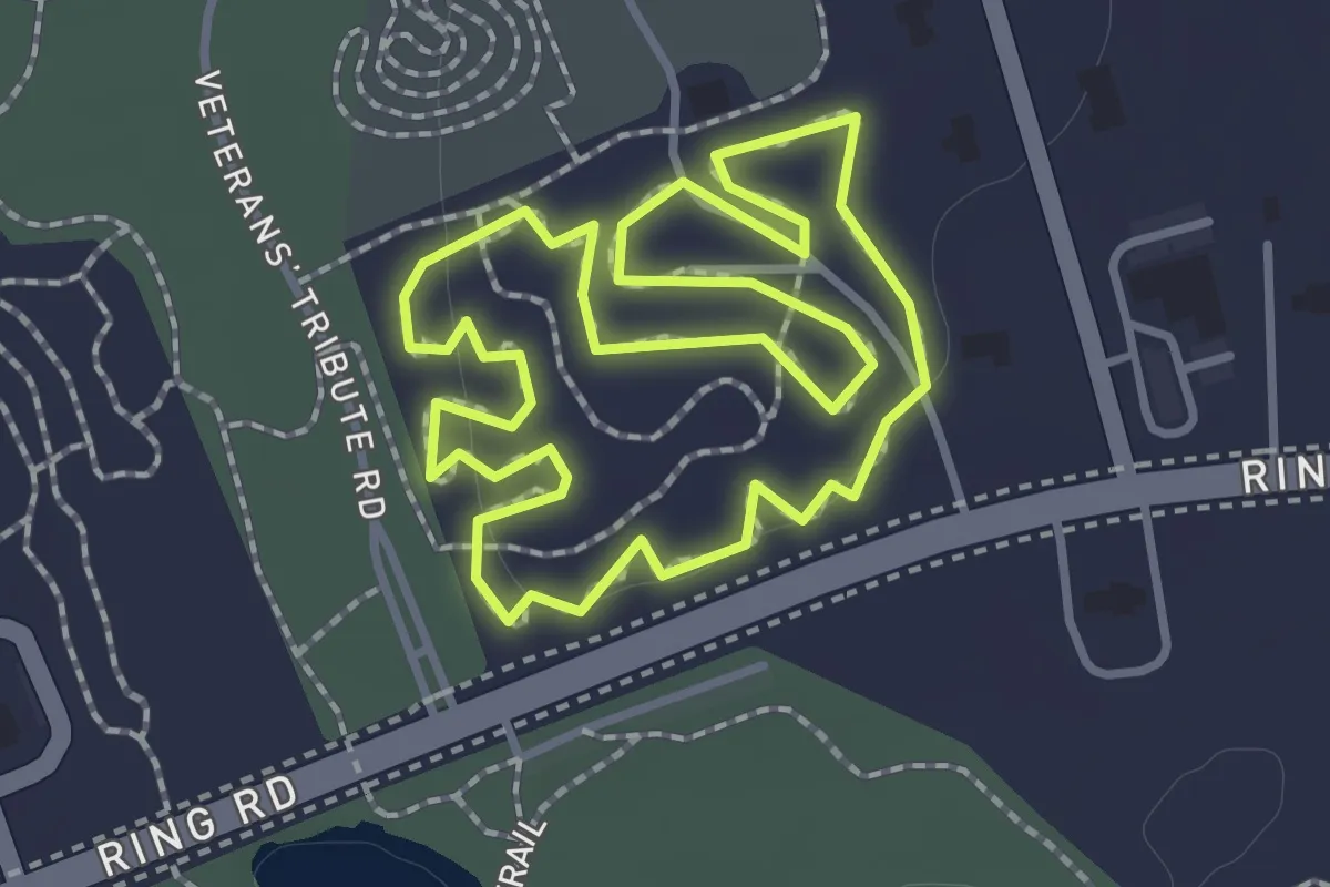
Easy · Trail
Fitness Loop
1.5 km · ↑ 4 m · 24 min
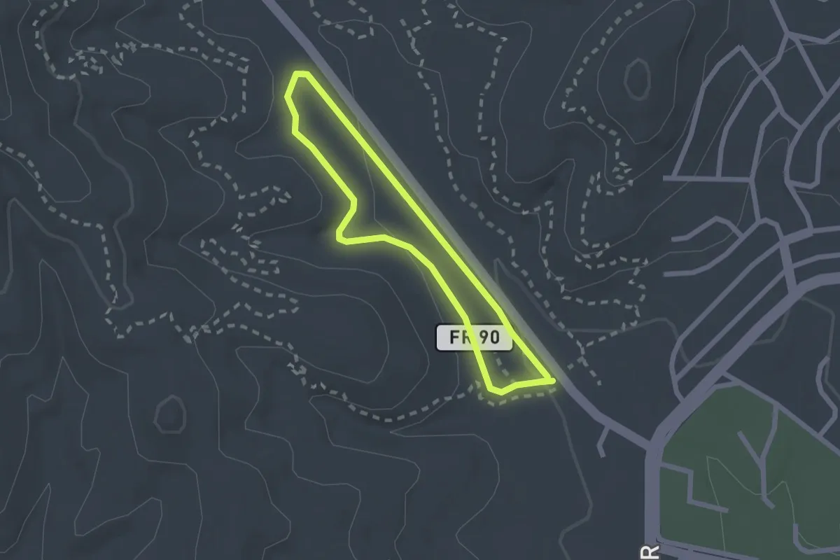
Easy · Trail
Fitness Trail
2.1 km · ↑ 33 m · 36 min
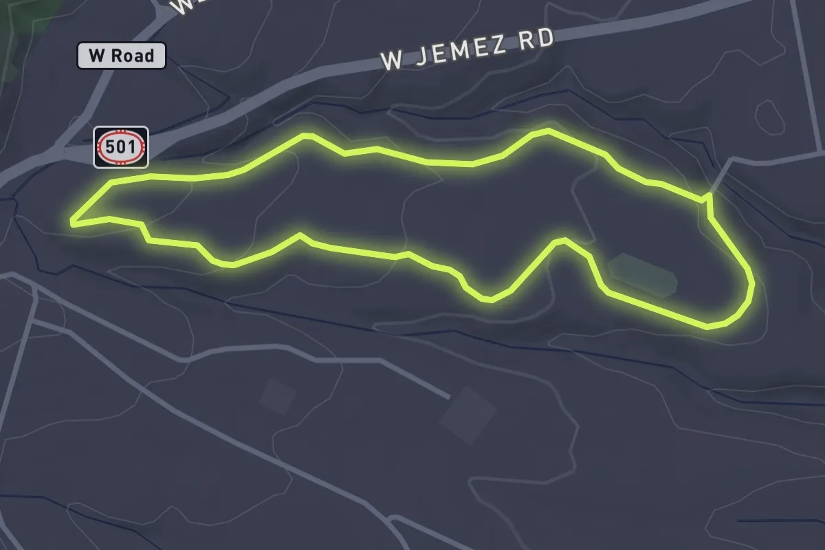
Easy · Trail
Fitness Trail
3.5 km · ↑ 95 m · 1 h 5 min
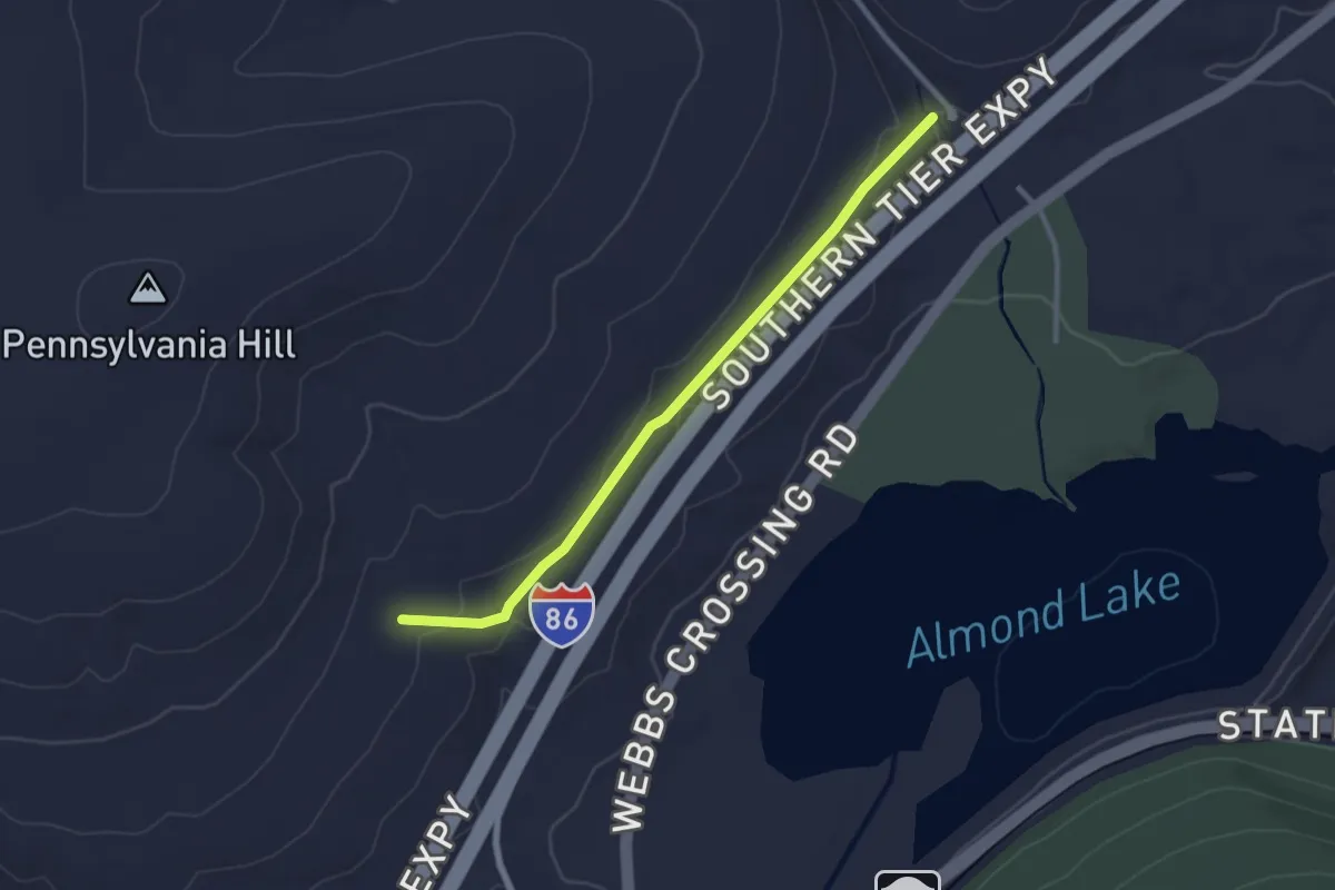
Easy · Trail
Fitzgerald Spur
2.9 km · ↑ 77 m · 52 min
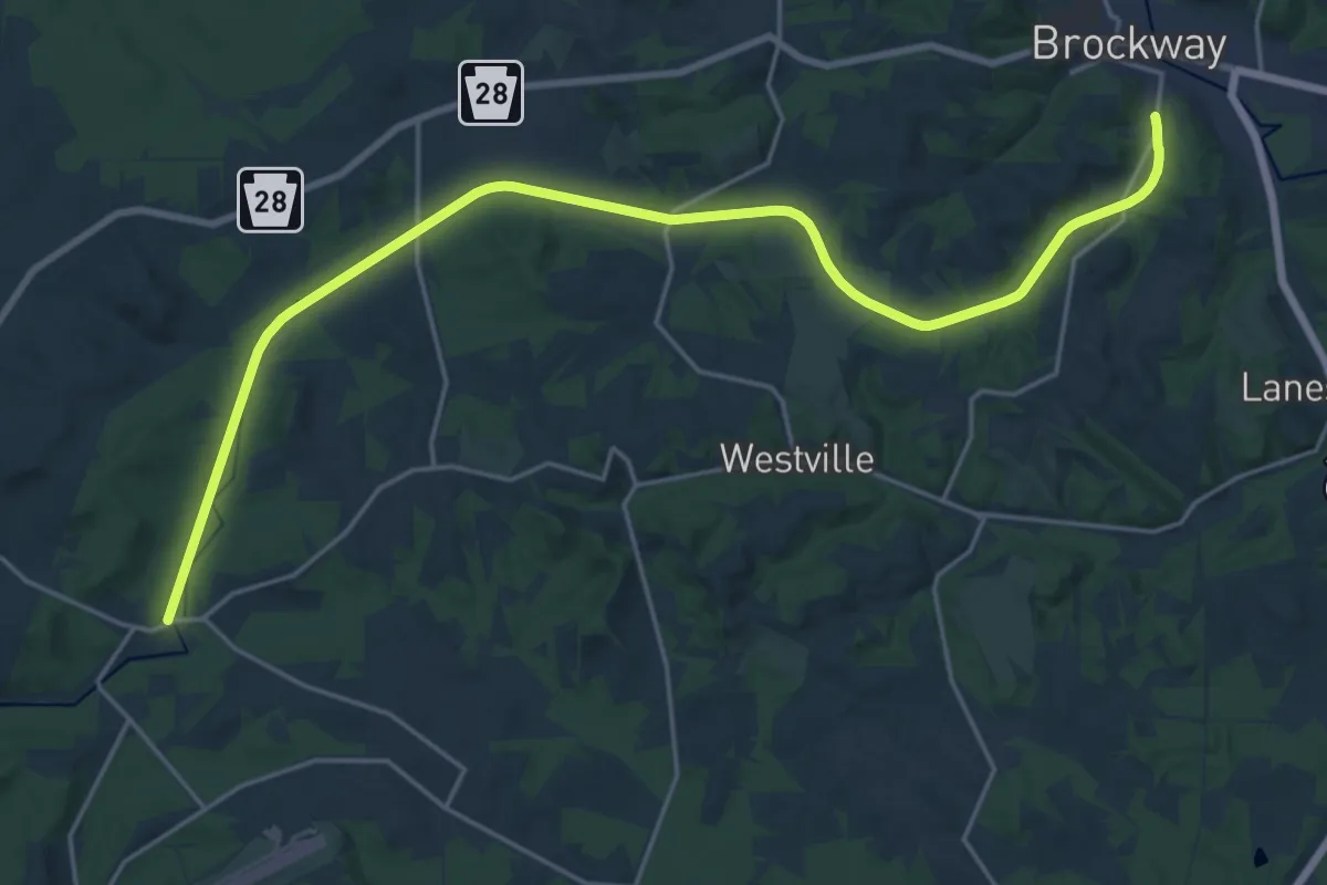
Demanding · Trail
Five Bridges Trail
26.5 km · ↑ 168 m · 6 h 37 min
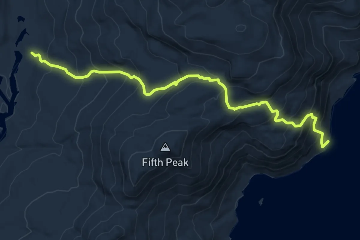
Medium · Trail
Five Mile Point Trail
8.5 km · ↑ 701 m · 3 h 31 min
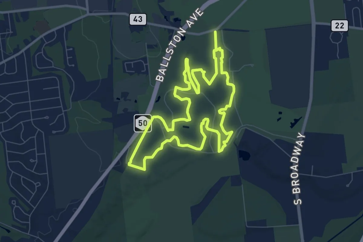
Demanding · Trail
Five Mile Trail
18.2 km · ↑ 118 m · 4 h 33 min
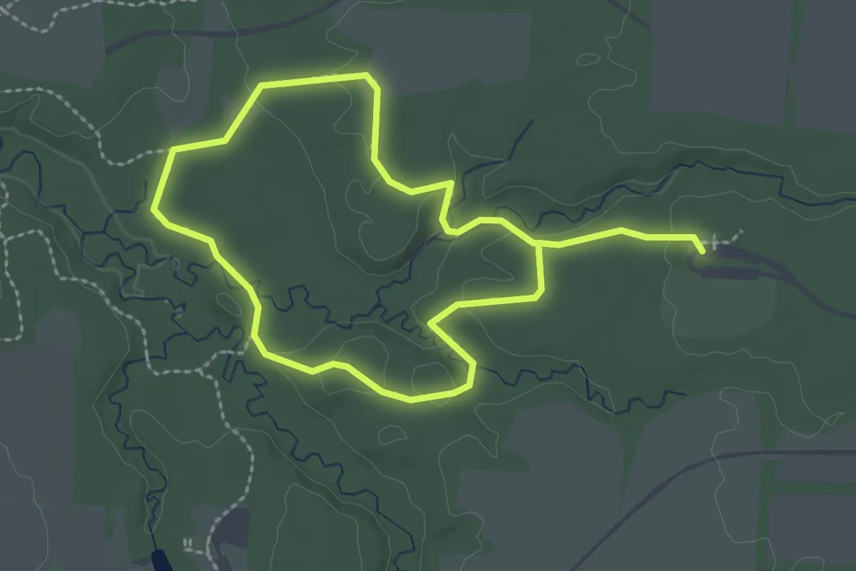
Easy · Trail
Five Oaks Trail
4.7 km · ↑ 71 m · 1 h 15 min
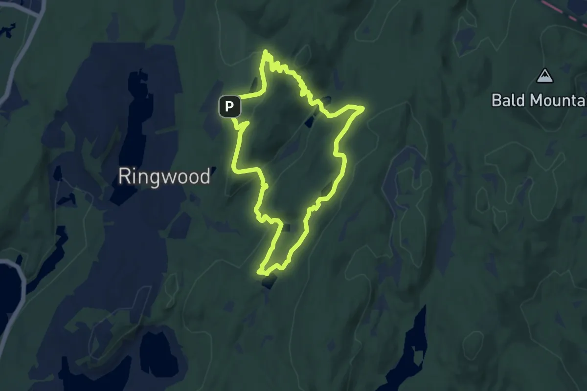
Easy · Trail
Five Ponds Loop
7.8 km · ↑ 212 m · 2 h 24 min
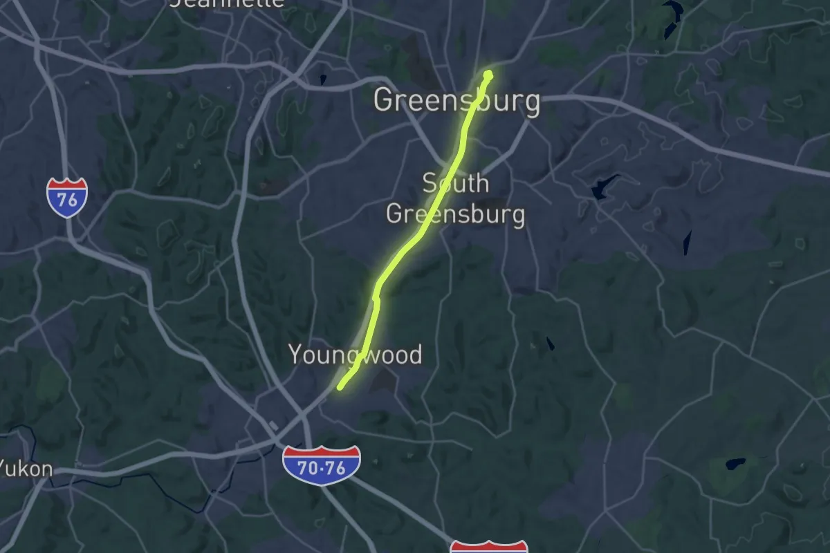
Demanding · Trail
Five Star Trail
20.0 km · ↑ 53 m · 4 h 50 min
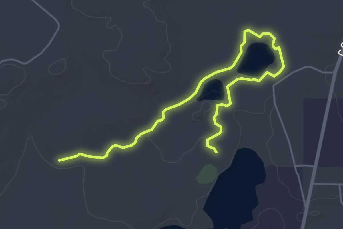
Easy · Trail
Flacks Lake Pathway
5.8 km · ↑ 13 m · 1 h 24 min
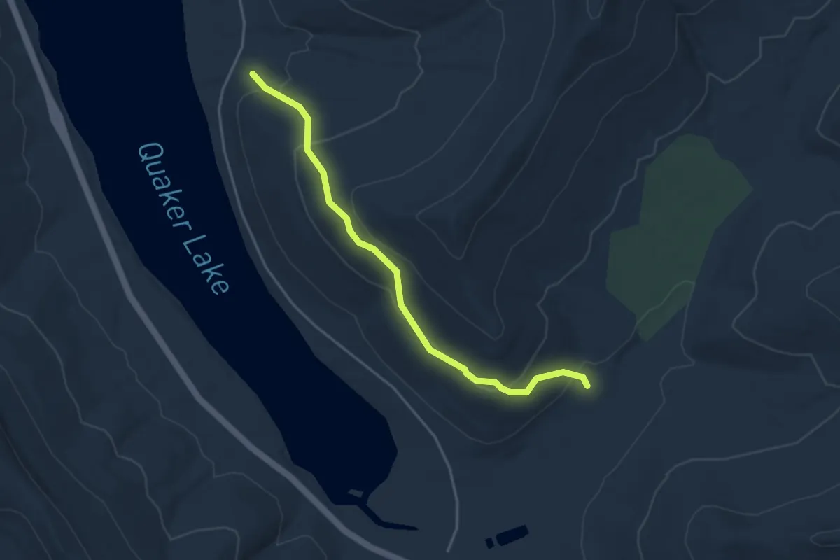
Easy · Trail
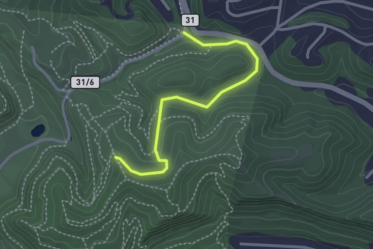
Flagg Trail
4.2 km · ↑ 227 m · 1 h 29 min
Easy · Trail
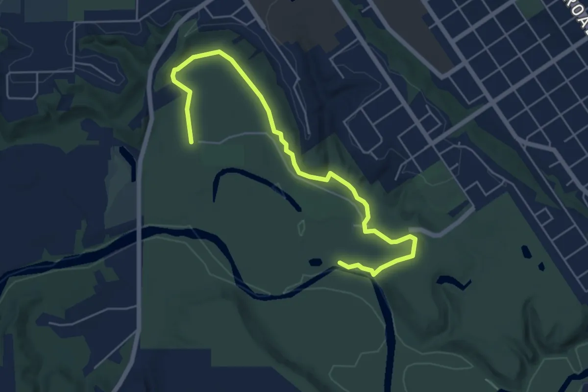
Flag Trail
2.5 km · ↑ 72 m · 45 min
Easy · Trail
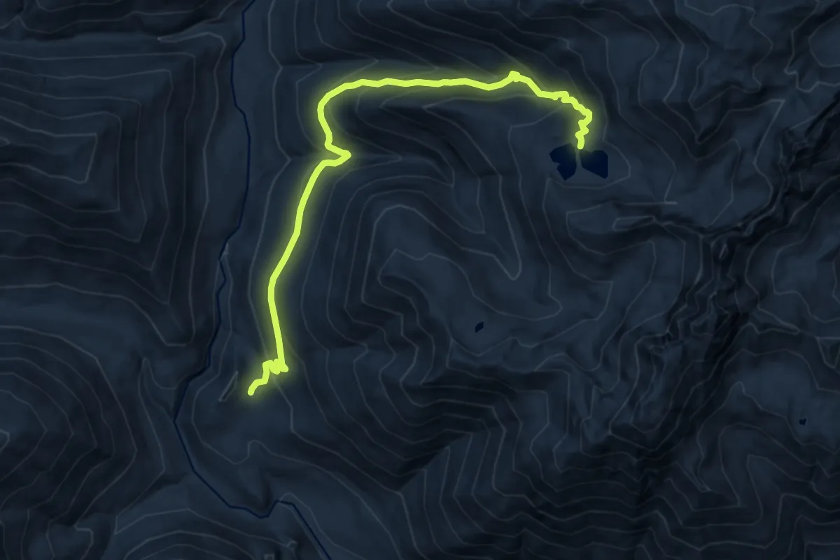
Flandrau State Park Hiking Club Trail
6.0 km · ↑ 96 m · 1 h 37 min
Demanding · Trail
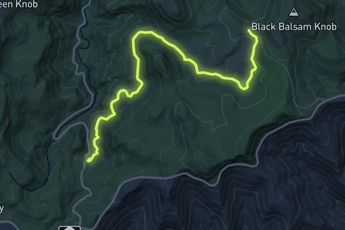
Flapjack Lakes Trail
11.6 km · ↑ 850 m · 4 h 35 min
Medium · Trail
Flat Laurel Creek Trail
11.7 km · ↑ 251 m · 3 h 19 min
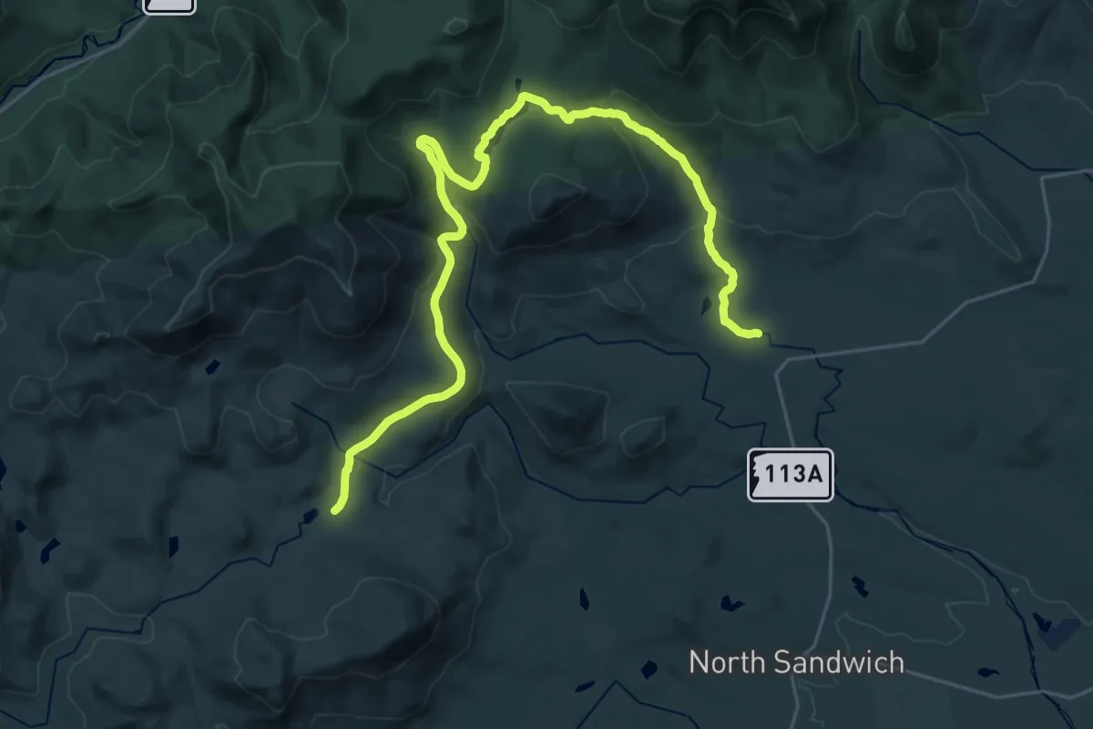
Medium · Trail
Flat Mountain Pond Trail
16.7 km · ↑ 286 m · 4 h 52 min
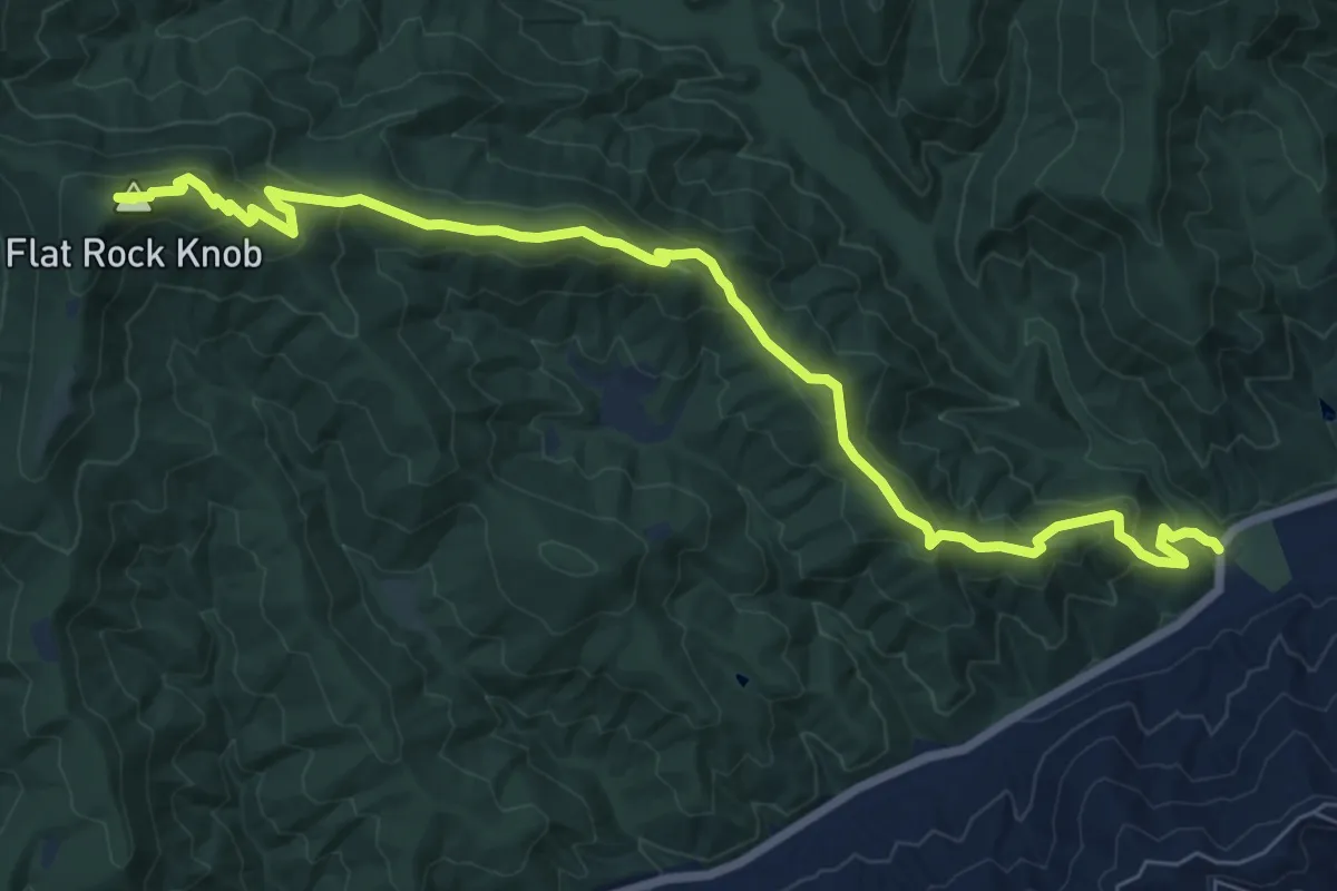
Medium · Summit
Flat Rock Ridge Trail
10.0 km · ↑ 532 m · 3 h 31 min
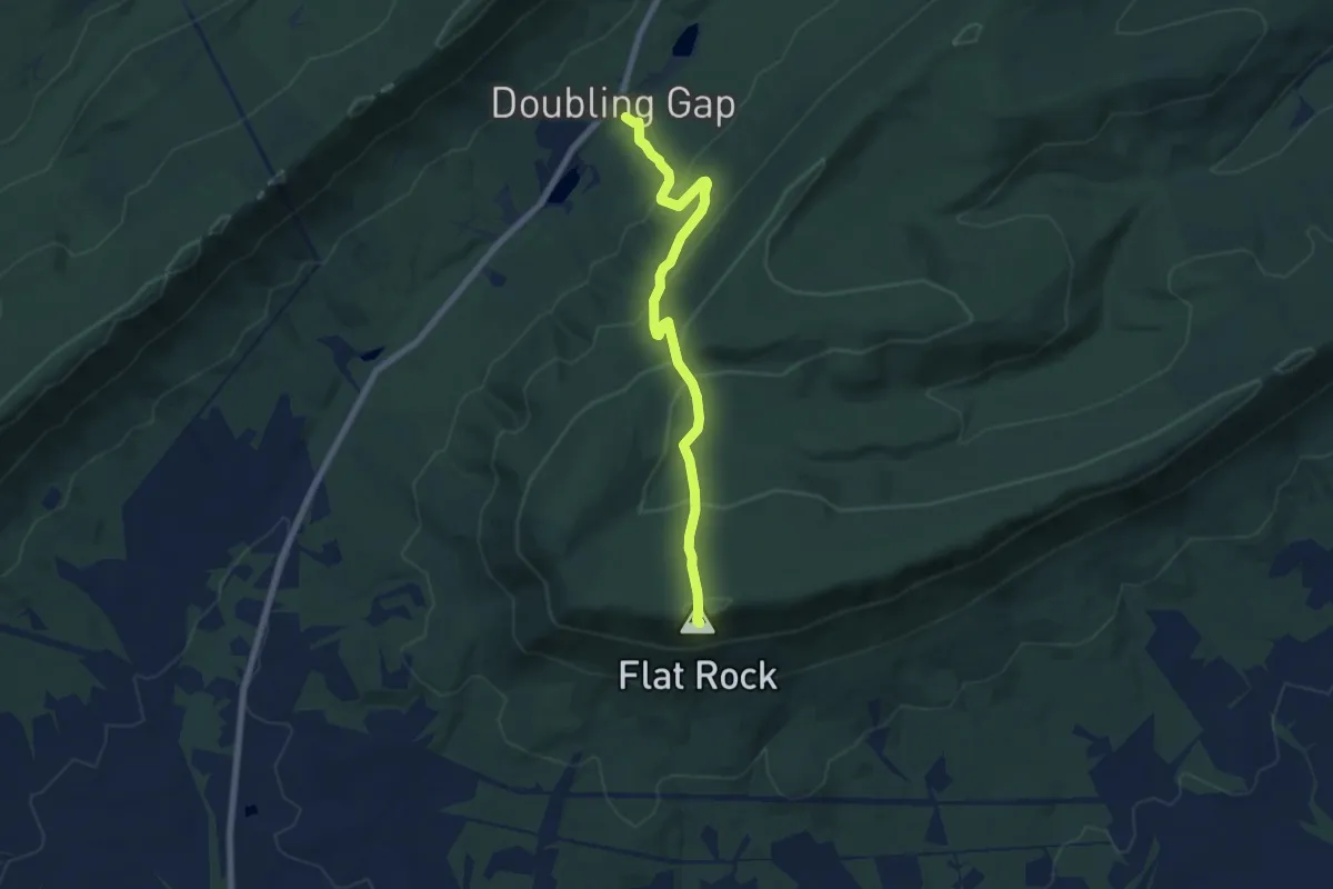
Medium · Summit
Flat Rock Trail
7.4 km · ↑ 422 m · 2 h 40 min
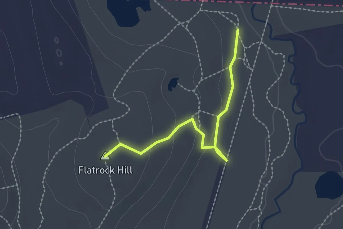
Easy · Summit
Flat Rock Trail
2.2 km · ↑ 54 m · 38 min
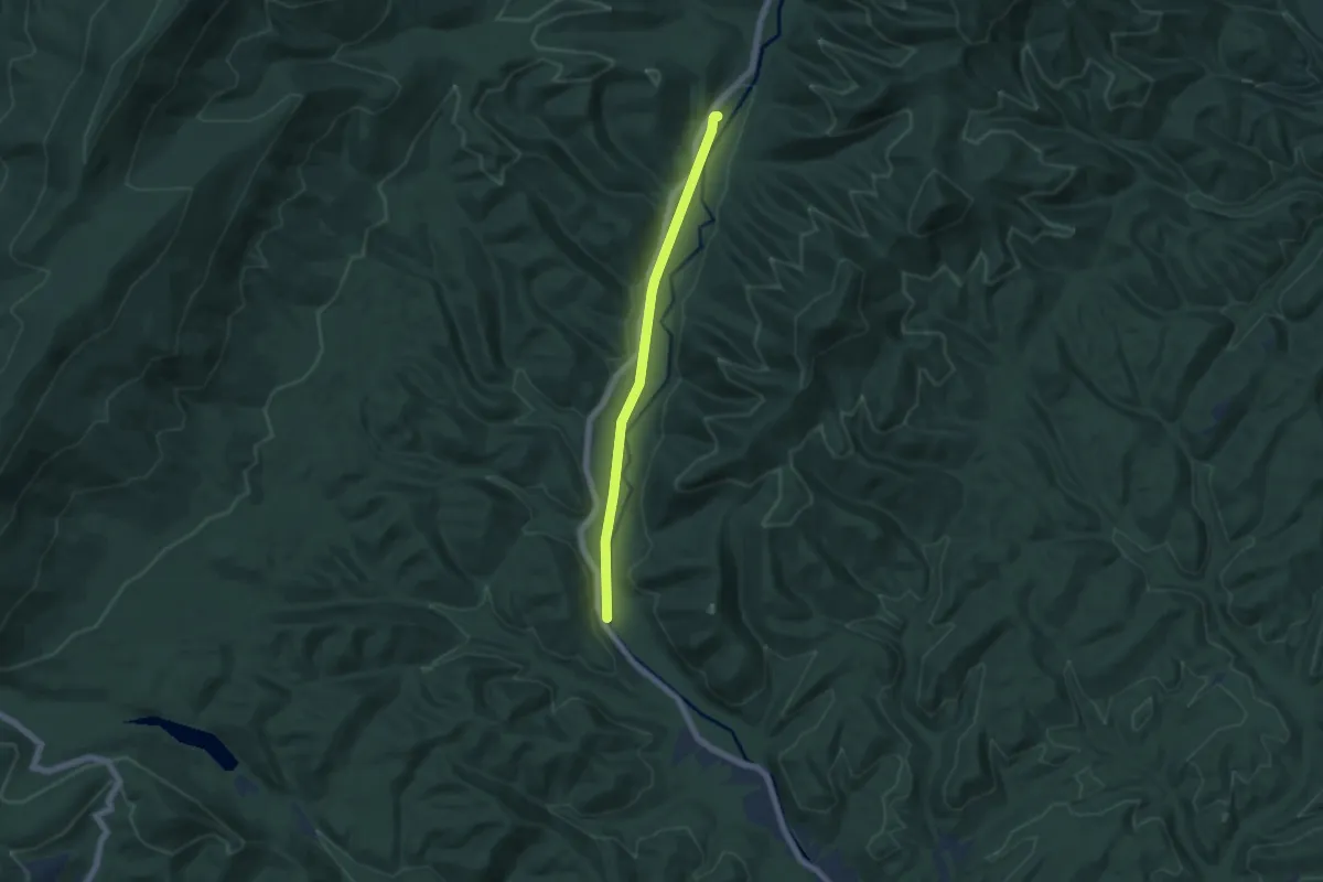
Easy · Trail
Flat Run Trail
6.1 km · ↑ 30 m · 1 h 30 min
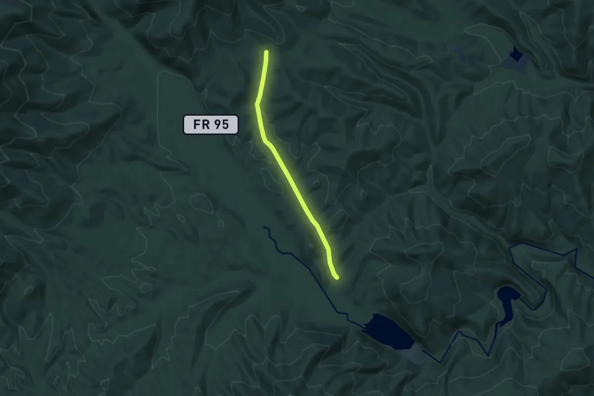
Easy · Trail
Flat Run Trail
7.1 km · ↑ 117 m · 1 h 56 min
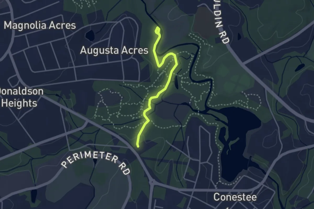
Easy · Trail
Flat Tail Trail
3.6 km · ↑ 21 m · 54 min
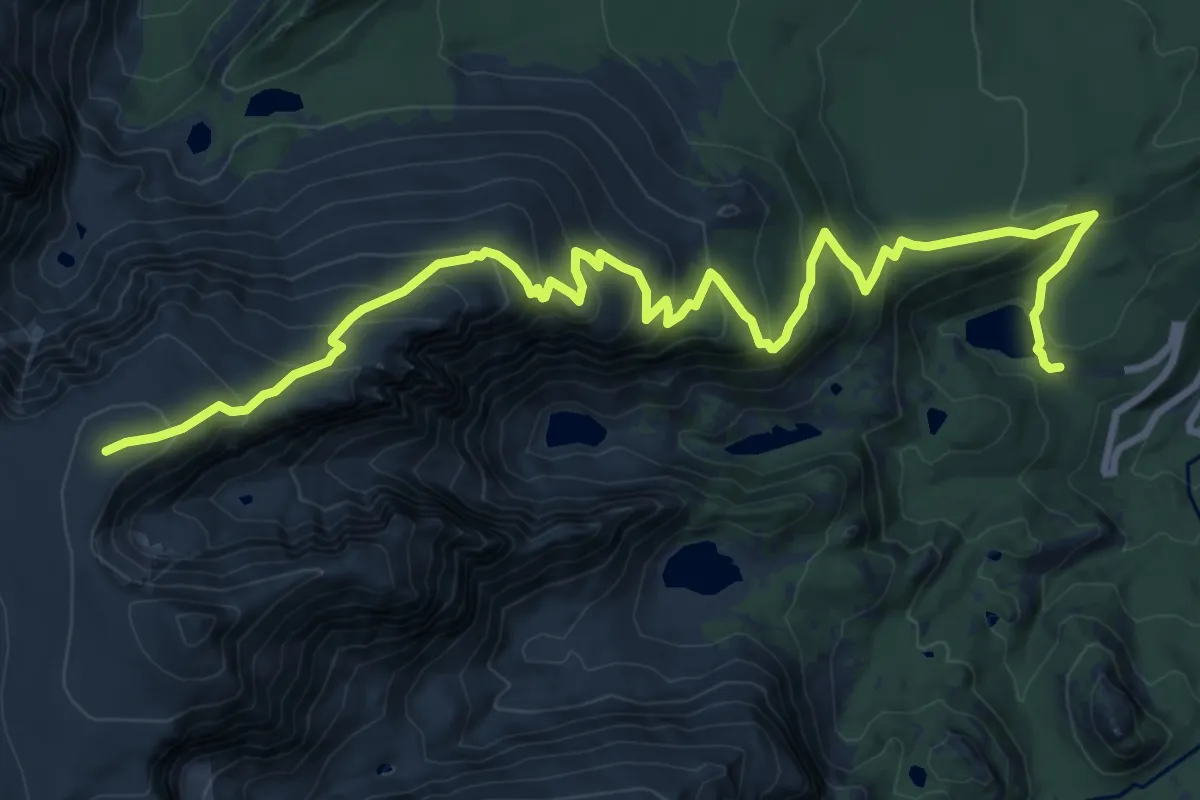
Demanding · Summit
Flat Top Mountain Trail
13.4 km · ↑ 872 m · 5 h 4 min
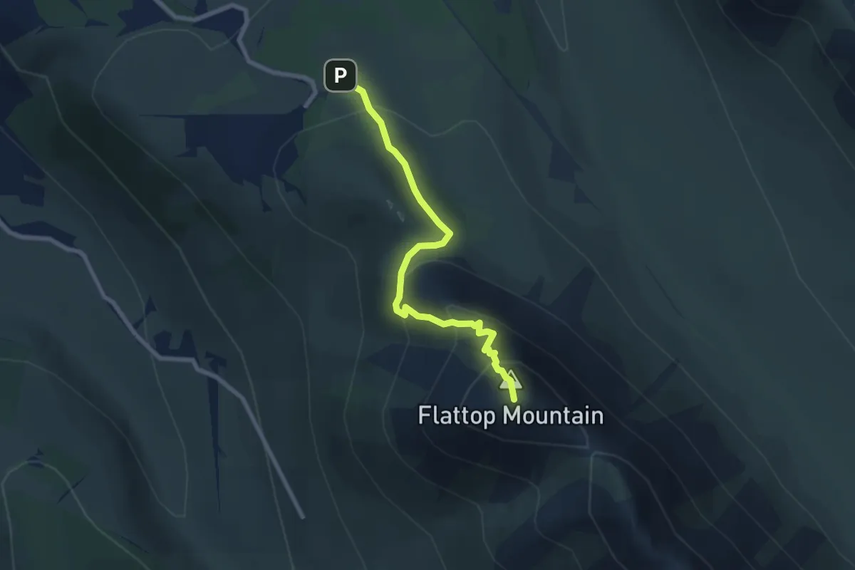
Medium · Summit
Flattop Trail
4.9 km · ↑ 412 m · 2 h 2 min
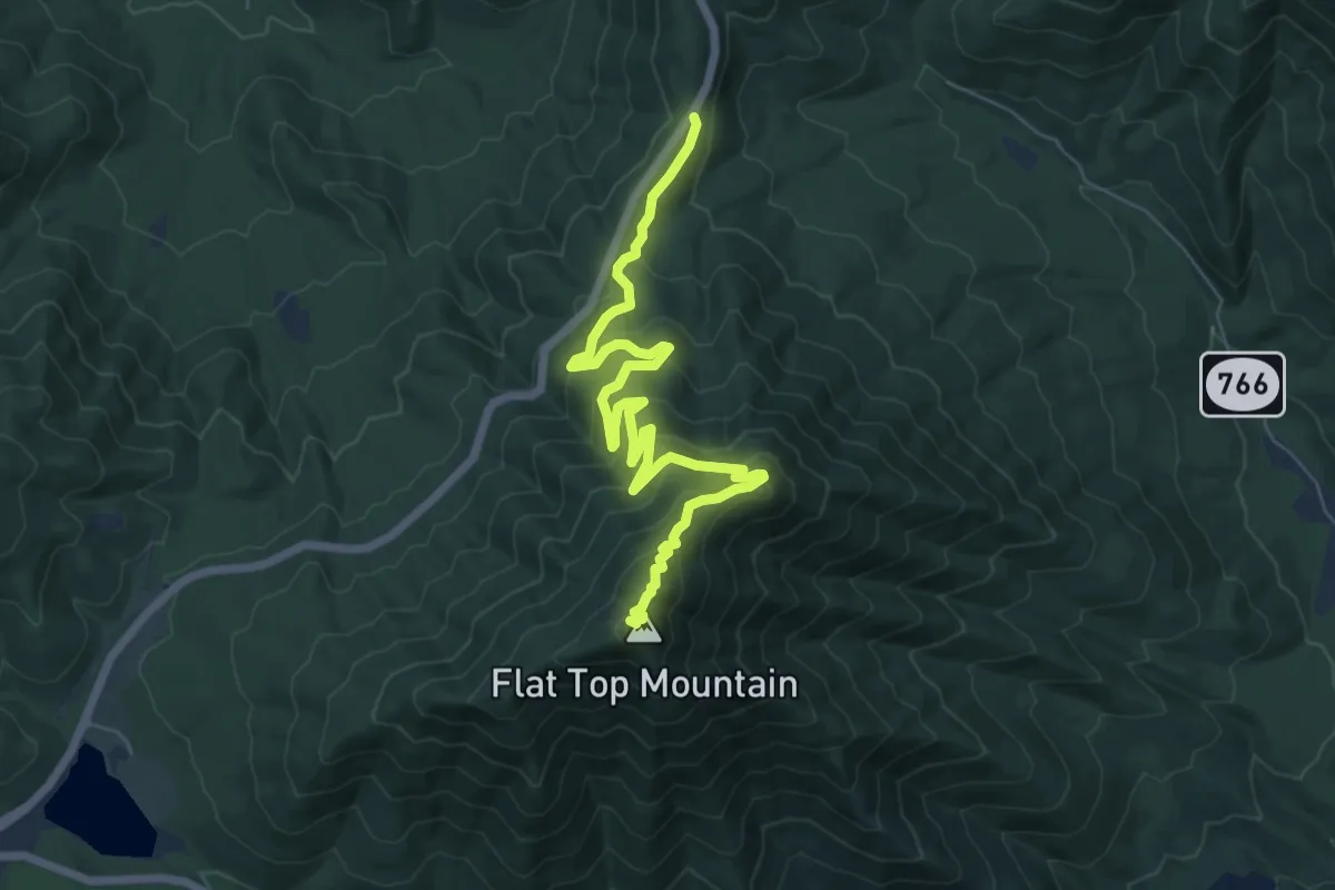
Medium · Summit
Flat Top Trail
8.9 km · ↑ 508 m · 3 h 12 min
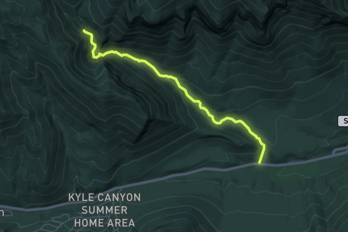
Easy · Trail
Fletcher Canyon Trail
5.8 km · ↑ 317 m · 2 h 3 min
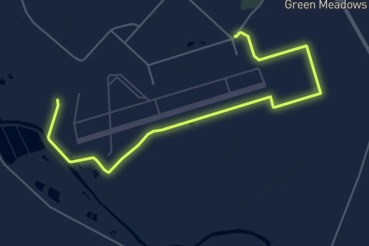
Demanding · Trail
Flight Line Permitter
18.2 km · ↑ 21 m · 4 h 21 min