Trails in United States
10,367 hiking trails, each with its route, climb, walking time and grade.
All trails, page 65 of 216
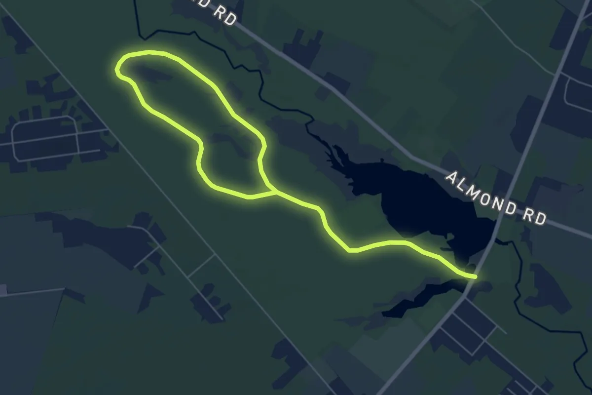
Medium · Trail
Forest Road (Blue) Trail
10.0 km · ↑ 13 m · 2 h 23 min
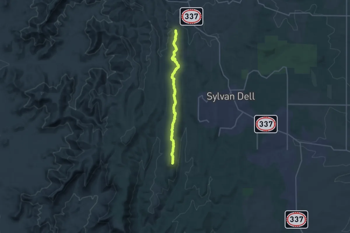
Medium · Trail
Forest Service Road 106
16.6 km · ↑ 289 m · 4 h 32 min
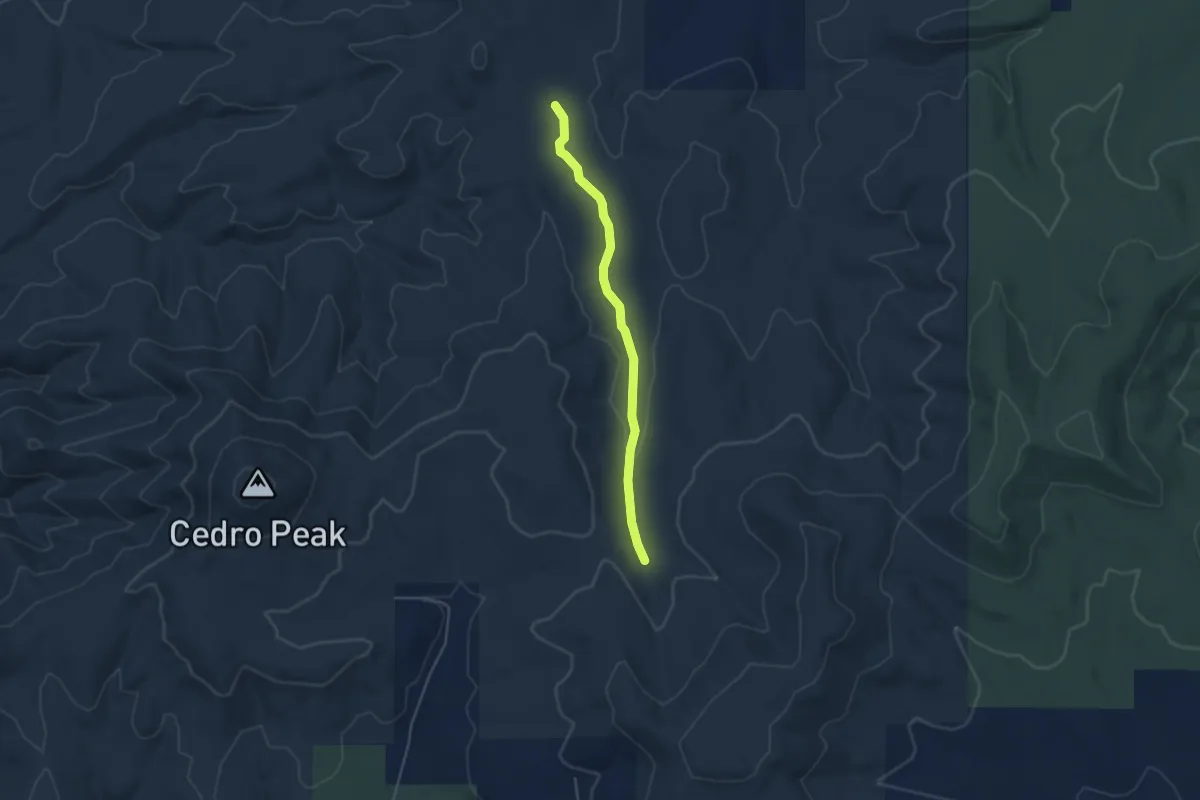
Easy · Trail
Forest Service Road 12
4.8 km · ↑ 61 m · 1 h 16 min
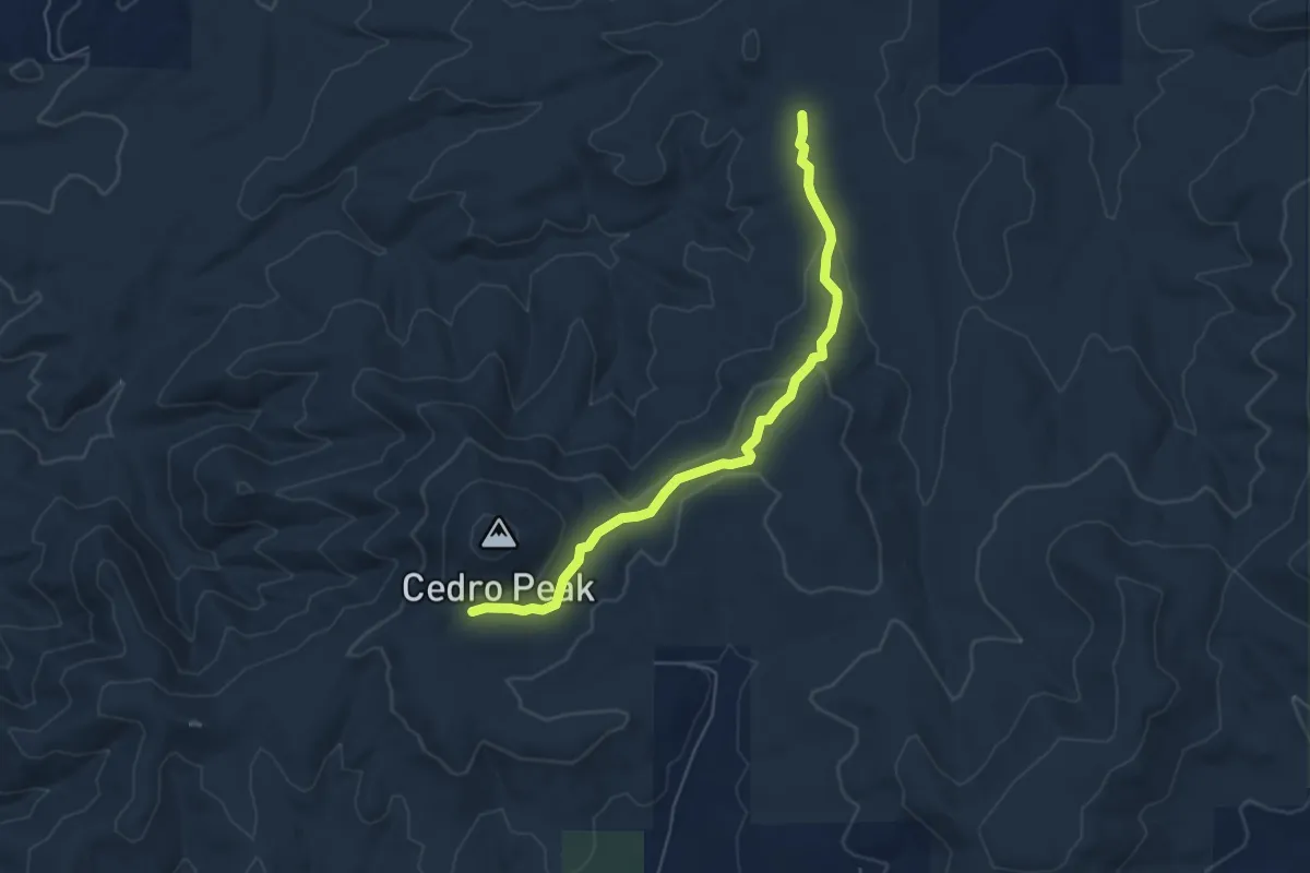
Easy · Trail
Forest Service Road 13
6.4 km · ↑ 135 m · 1 h 49 min
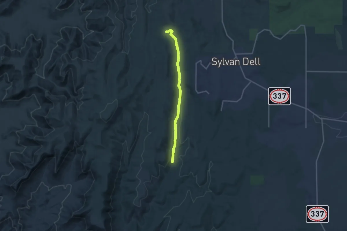
Medium · Trail
Forest Service Road 335
12.5 km · ↑ 154 m · 3 h 18 min
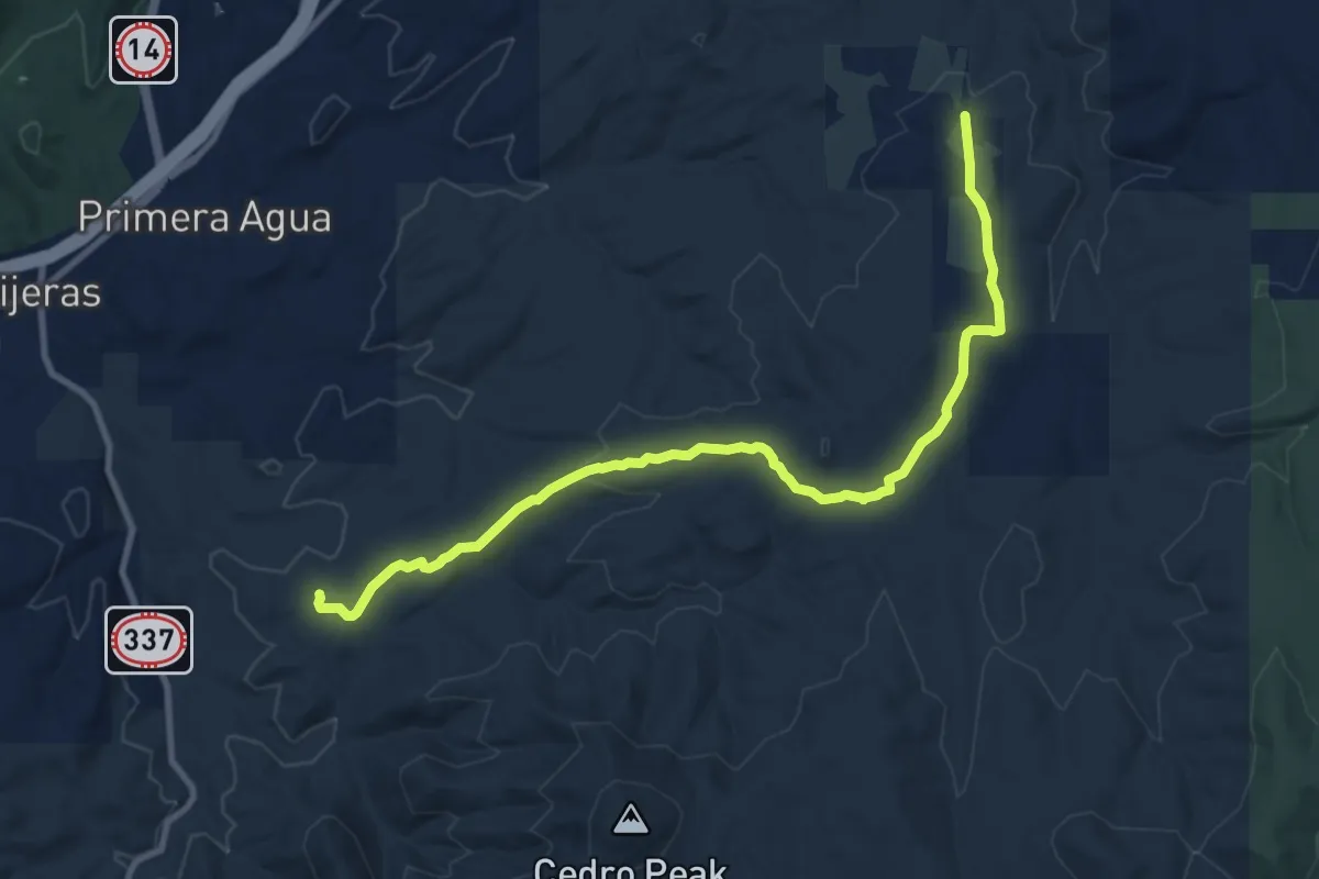
Medium · Trail
Forest Service Road 462
12.6 km · ↑ 247 m · 3 h 30 min
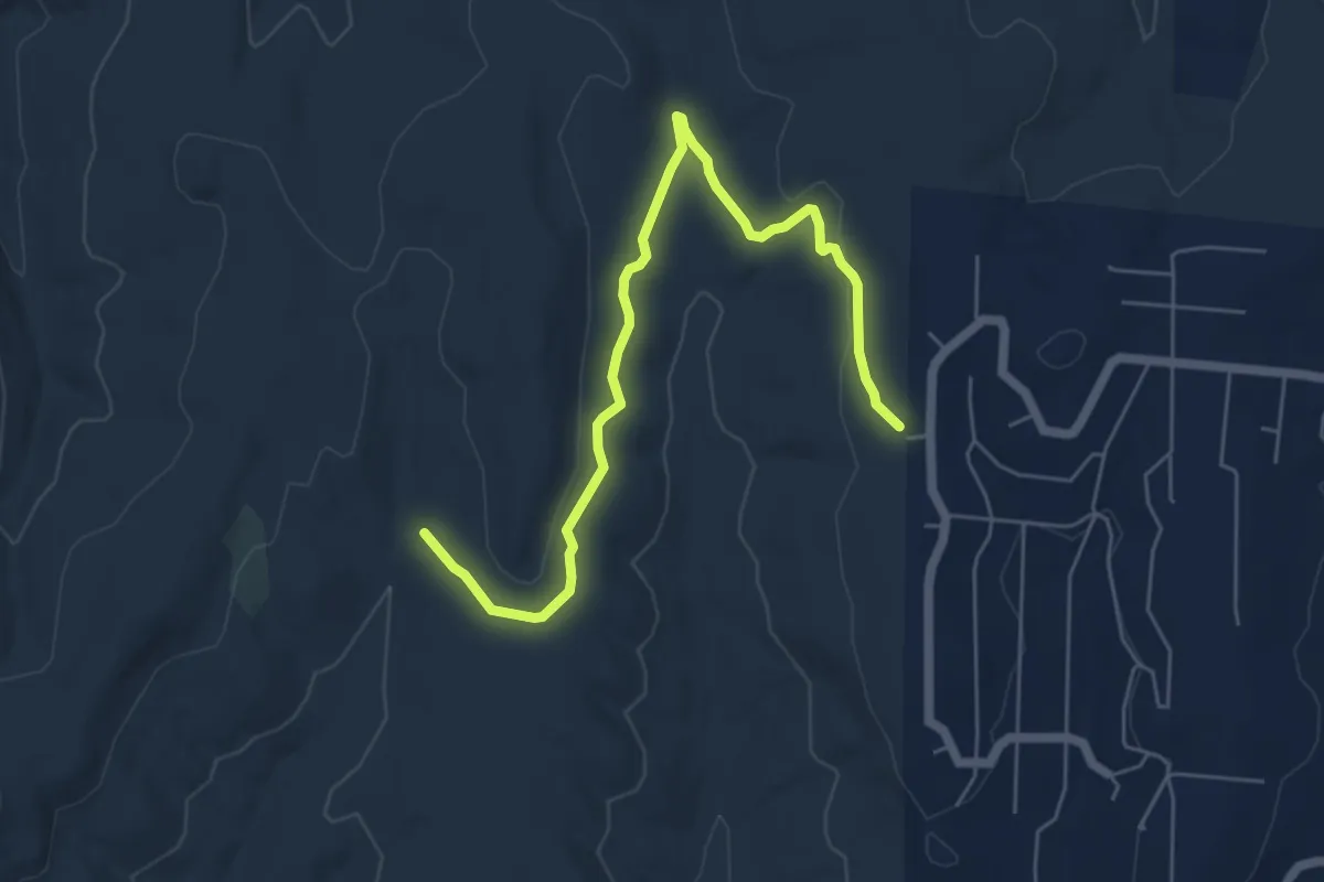
Medium · Trail
Forest Service Road 530
7.7 km · ↑ 99 m · 2 h 2 min
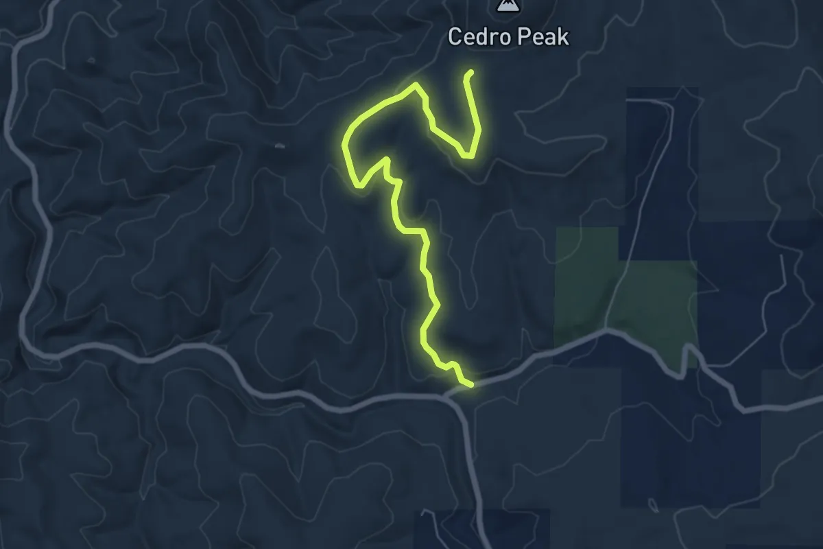
Easy · Trail
Forest Service Road 542
7.5 km · ↑ 143 m · 2 h 4 min
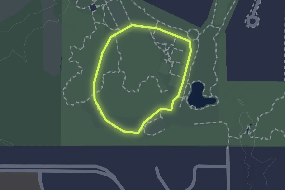
Easy · Trail
Forest Trail
1.0 km · ↑ 0 m · 15 min
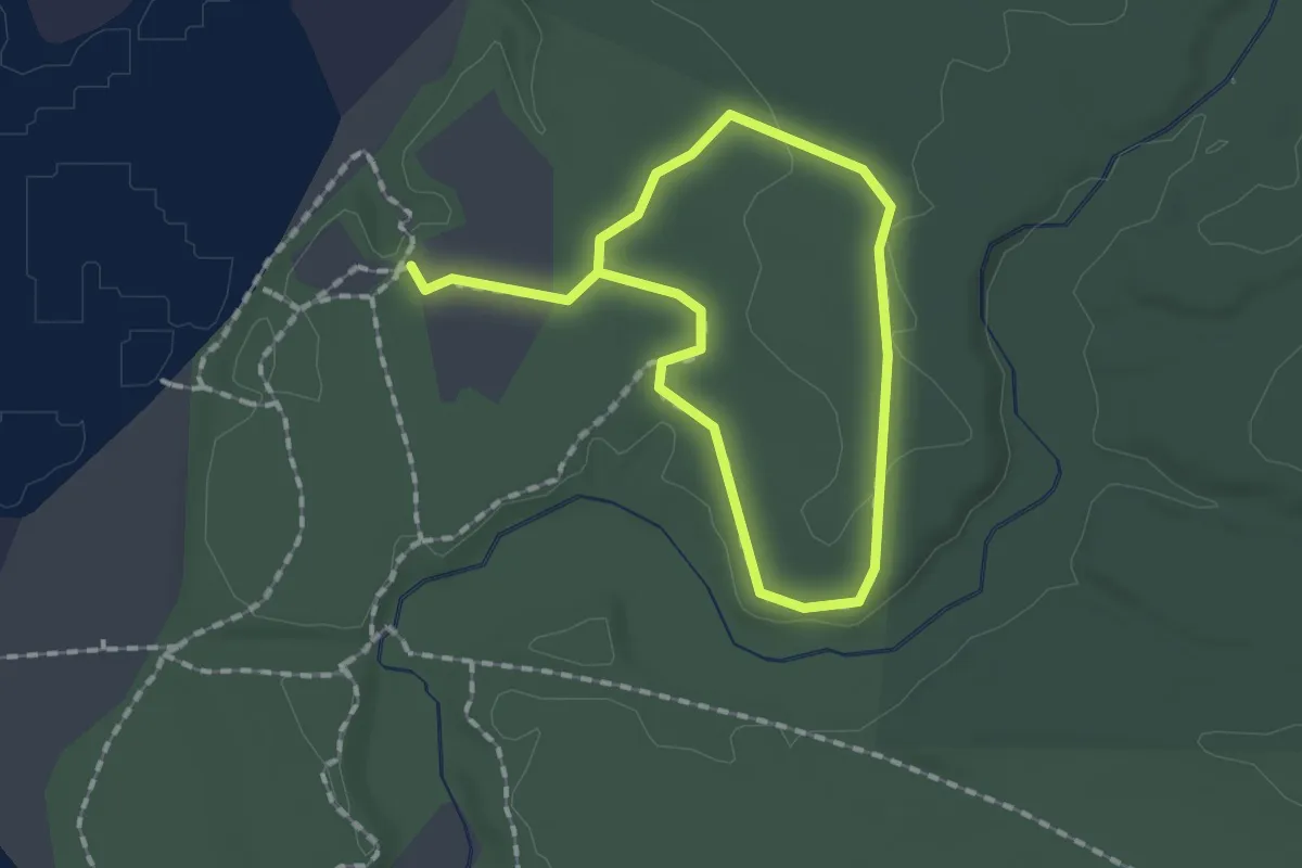
Easy · Trail
Forest Trail
2.7 km · ↑ 10 m · 40 min
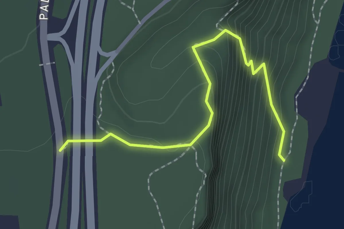
Easy · Trail
Forest View Trail
2.2 km · ↑ 166 m · 53 min
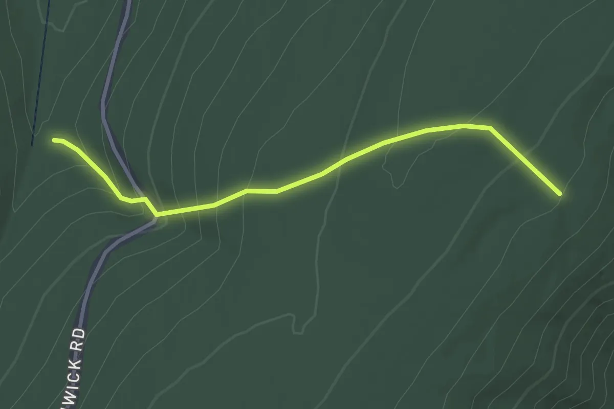
Easy · Trail
Fore Trail
3.3 km · ↑ 228 m · 1 h 17 min
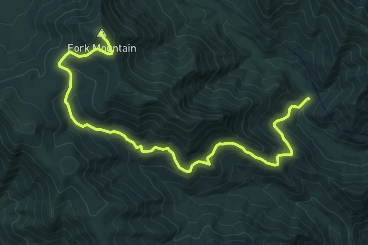
Medium · Summit
Fork Mountain Fire Road
14.5 km · ↑ 675 m · 4 h 53 min
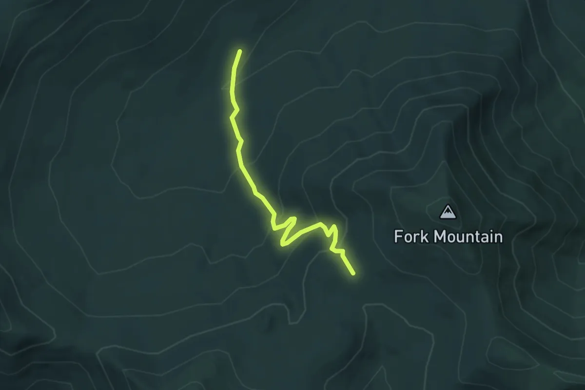
Easy · Trail
Fork Mountain Horse Trail
4.1 km · ↑ 222 m · 1 h 27 min
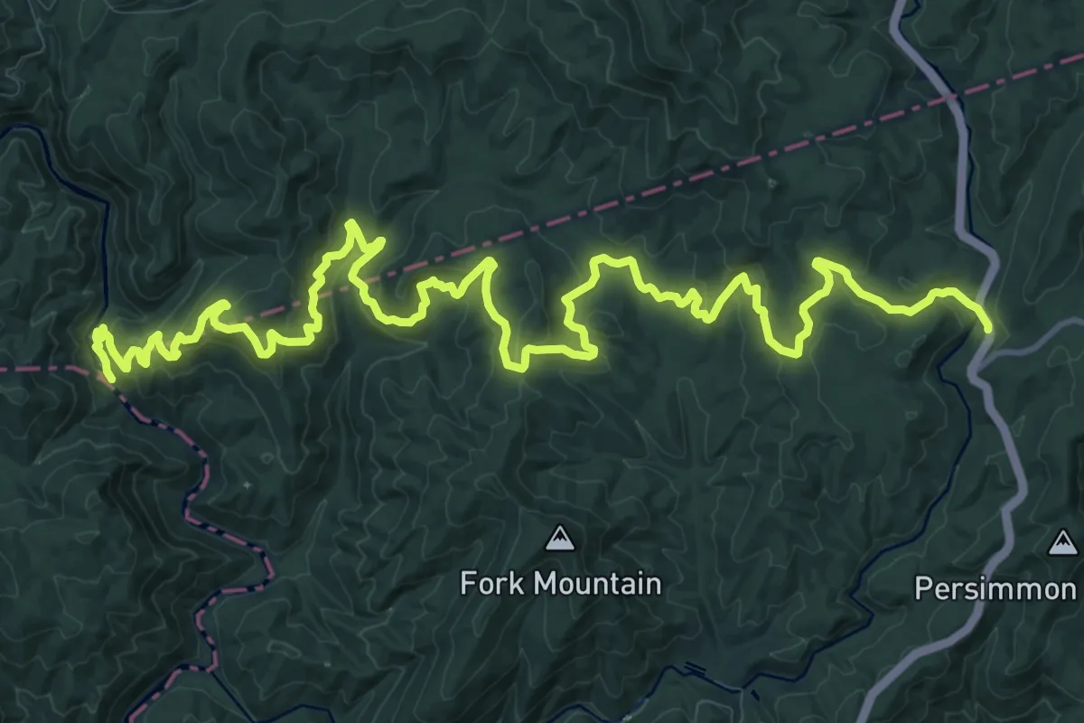
Demanding · Trail
Fork Mountain Trail
22.4 km · ↑ 784 m · 7 h
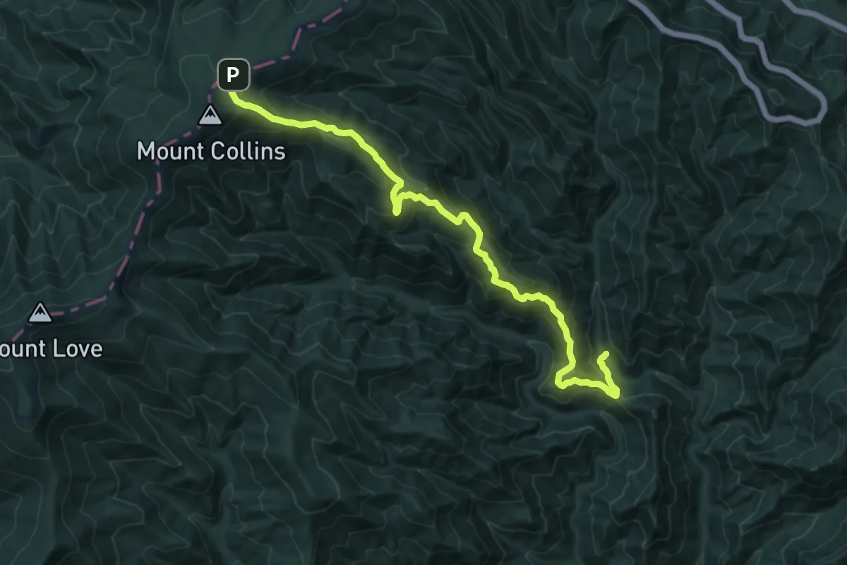
Demanding · Trail
Fork Ridge Trail
15.8 km · ↑ 897 m · 5 h 41 min
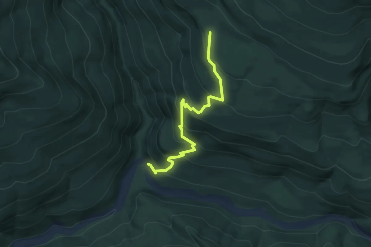
Medium · Trail
Forks of Canyon Creek Trail
4.1 km · ↑ 343 m · 1 h 43 min
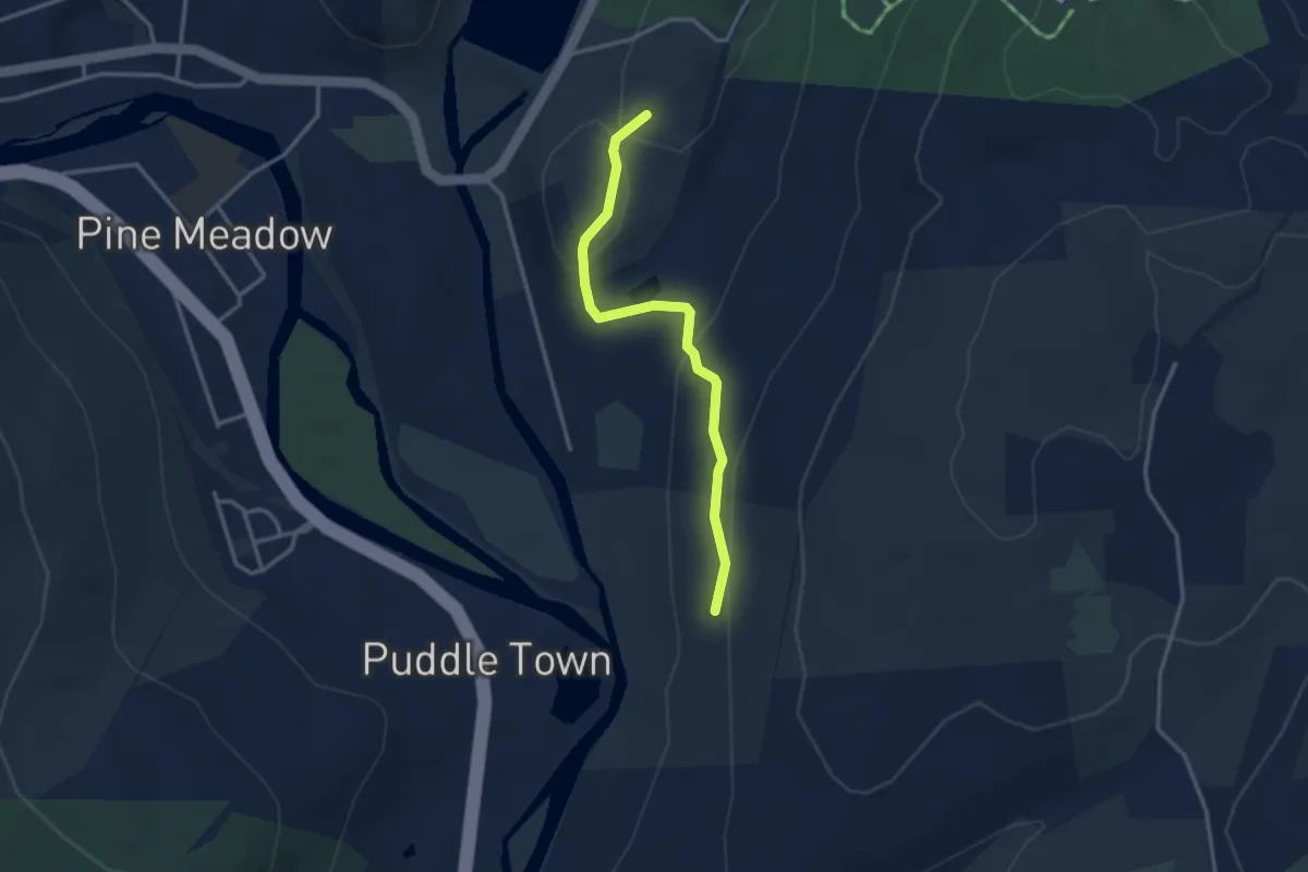
Easy · Trail
Former Tunxis Trail
3.3 km · ↑ 137 m · 1 h 4 min
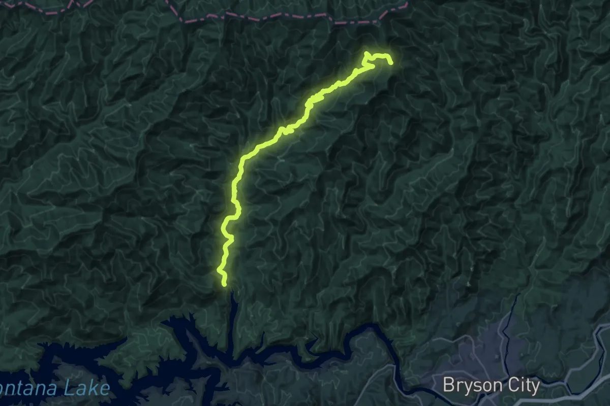
Medium · Trail
Forney Creek Trail
17.7 km · ↑ 76 m · 5 h 12 min
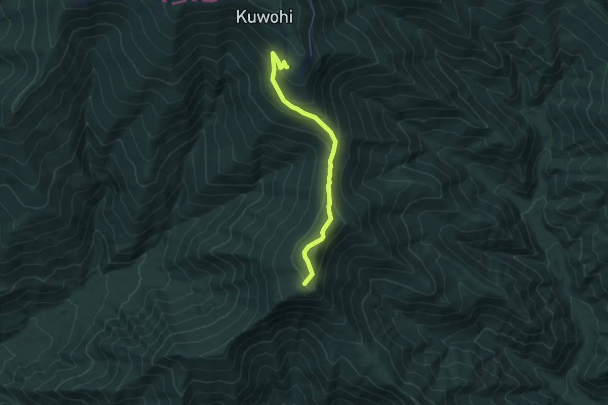
Easy · Summit
Forney Ridge Trail
5.6 km · ↑ 267 m · 1 h 54 min
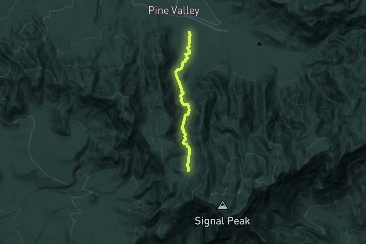
Demanding · Trail
Forsyth Trail
14.2 km · ↑ 749 m · 4 h 58 min
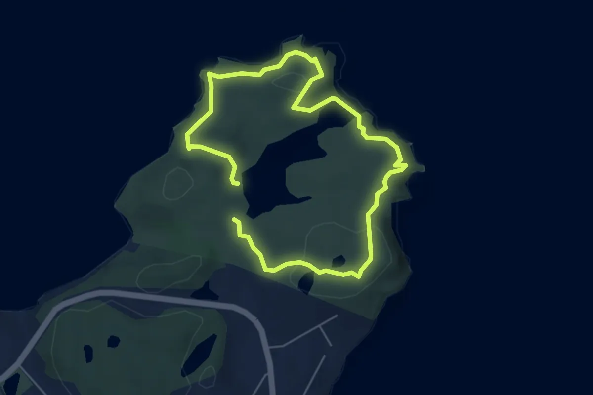
Easy · Trail
Fort Ambercrombie Cliffs Loop
3.2 km · ↑ 141 m · 1 h 7 min
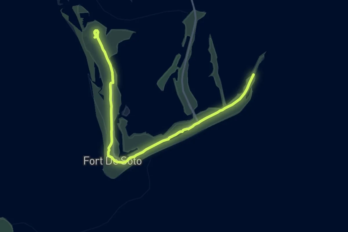
Medium · Trail
Fort De Soto Recreational Trail
15.3 km · ↑ 0 m · 3 h 37 min
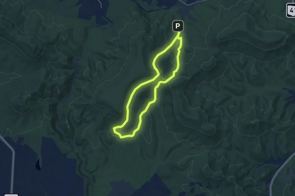
Easy · Trail
Fort Hill Preserve - Deer Trail
3.6 km · ↑ 169 m · 1 h 16 min
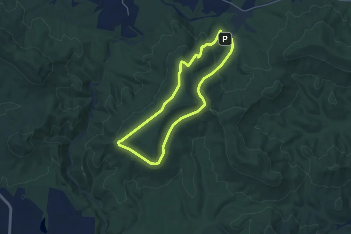
Easy · Trail
Fort Hill Preserve - Fort Trail
3.7 km · ↑ 131 m · 1 h 12 min
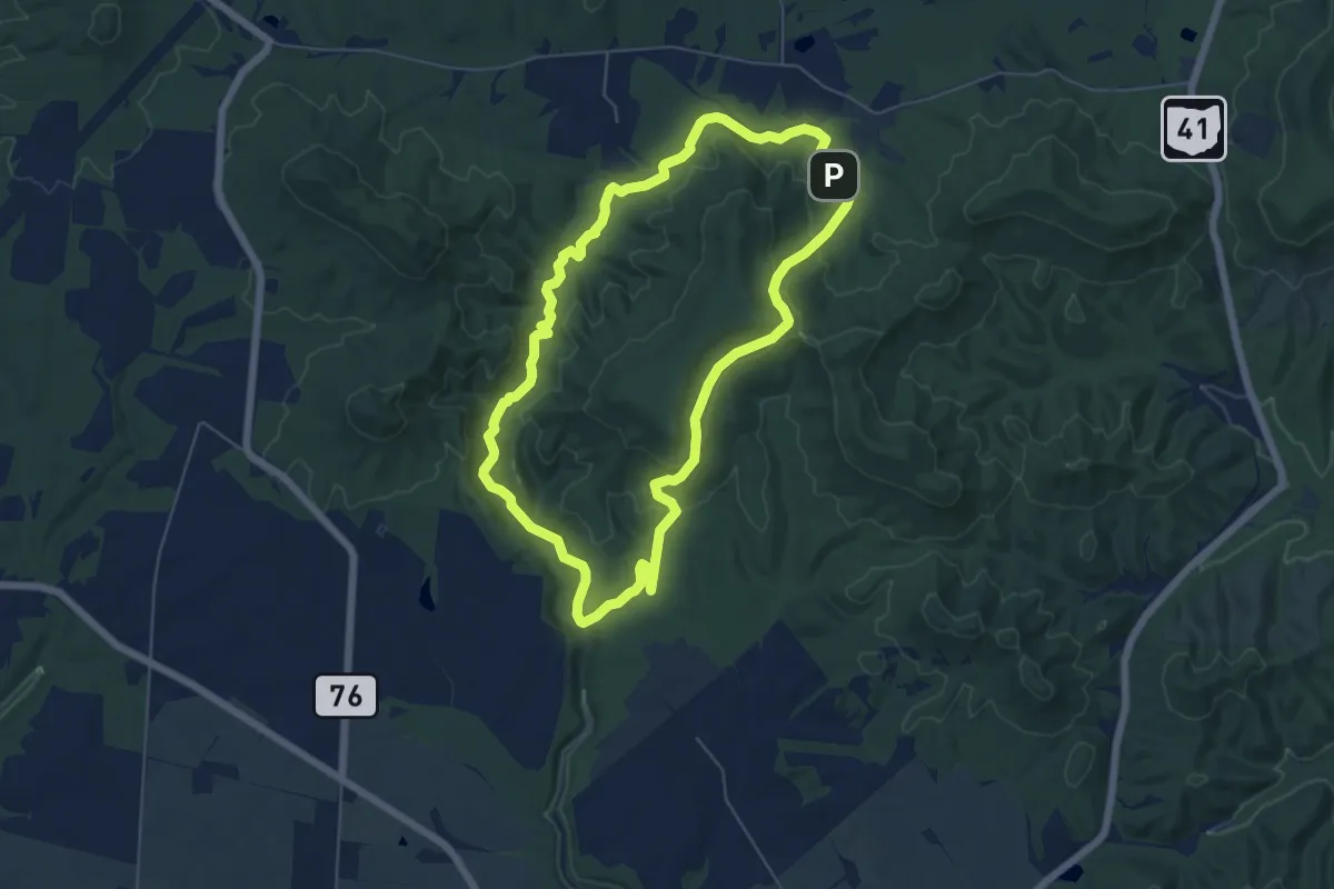
Easy · Trail
Fort Hill Preserve - Gorge Trail
6.5 km · ↑ 204 m · 2 h 4 min
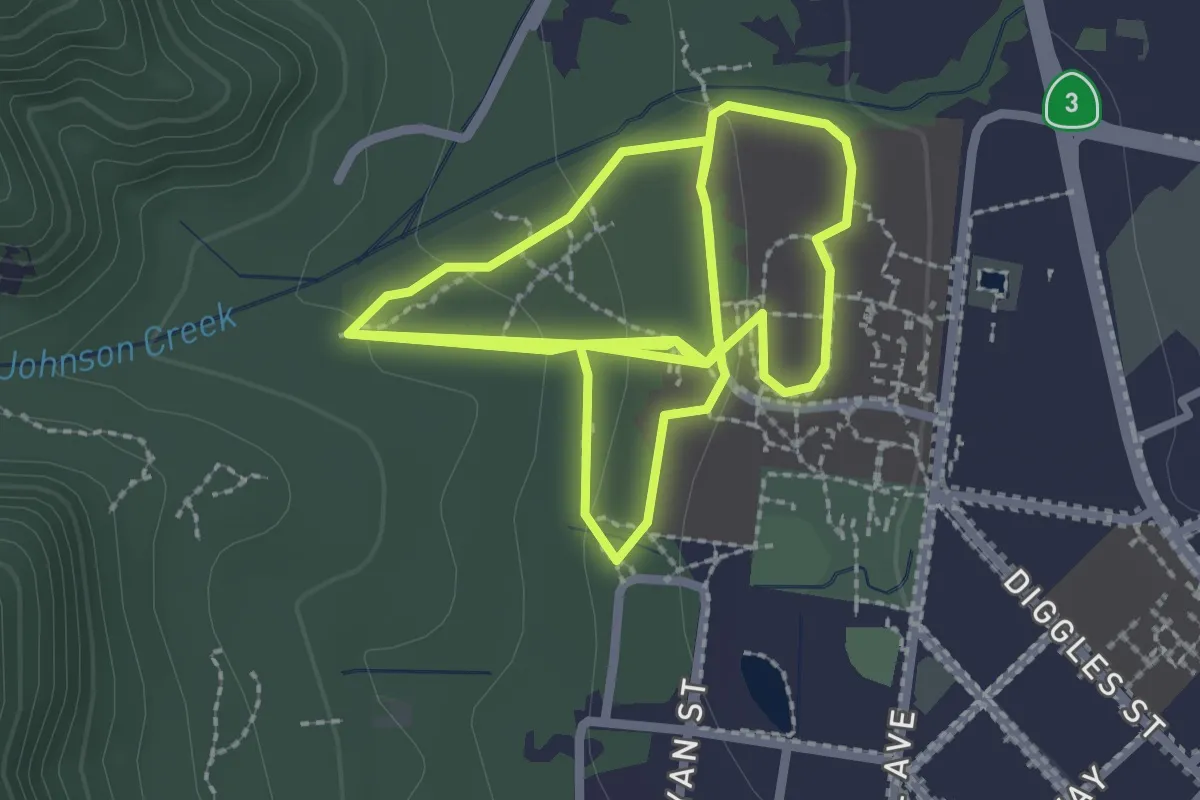
Easy · Trail
Fort Jones Junior High School Cross Country Course
3.3 km · ↑ 68 m · 57 min
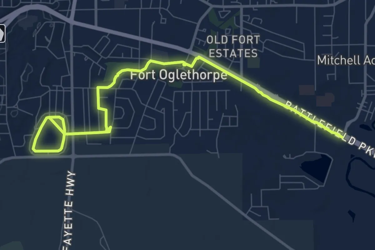
Medium · Trail
Fort Oglethorpe Greenway
12.1 km · ↑ 73 m · 3 h
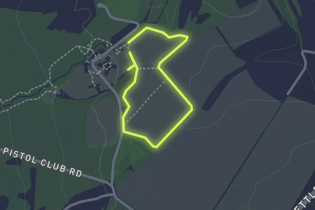
Easy · Trail
Fort Roberdeau - Blue Bird Trail
1.4 km · ↑ 4 m · 22 min
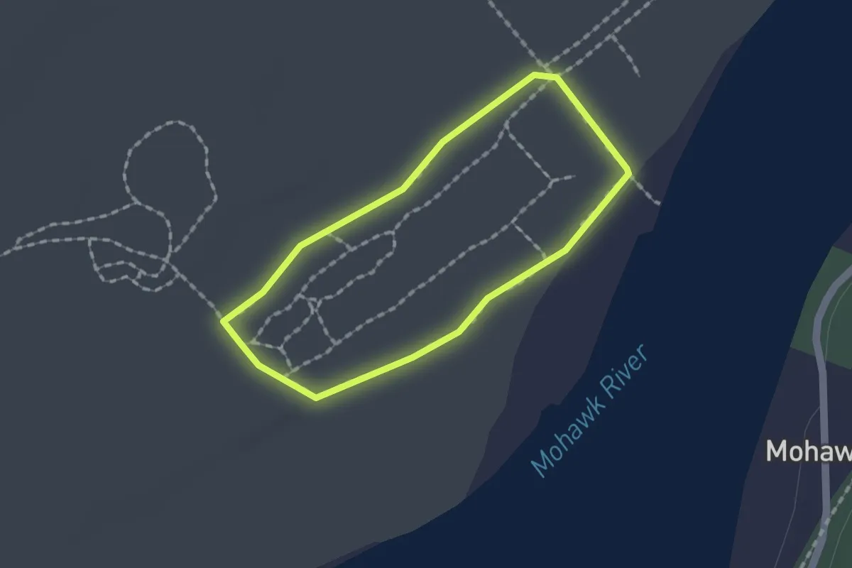
Easy · Trail
Forts Ferry Loop
1.4 km · ↑ 0 m · 21 min
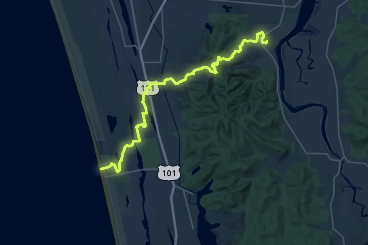
Demanding · Trail
Fort to Sea Trail
19.8 km · ↑ 328 m · 5 h 23 min
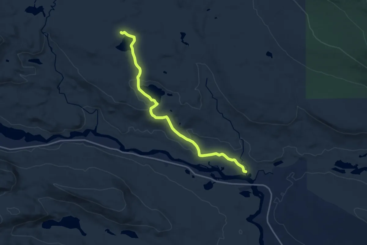
Medium · Trail
Foss and Knowlton Trail
12.4 km · ↑ 225 m · 3 h 25 min
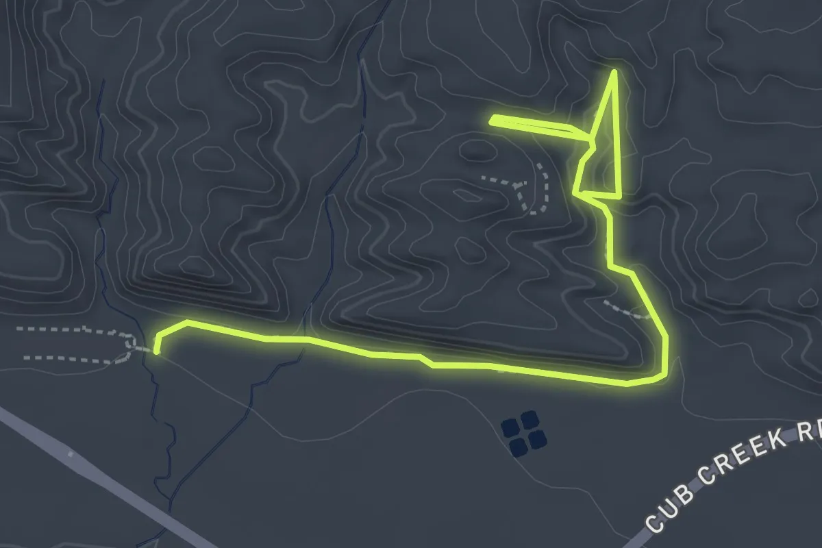
Easy · Trail
Fossil Discovery Trail
3.7 km · ↑ 117 m · 1 h 8 min
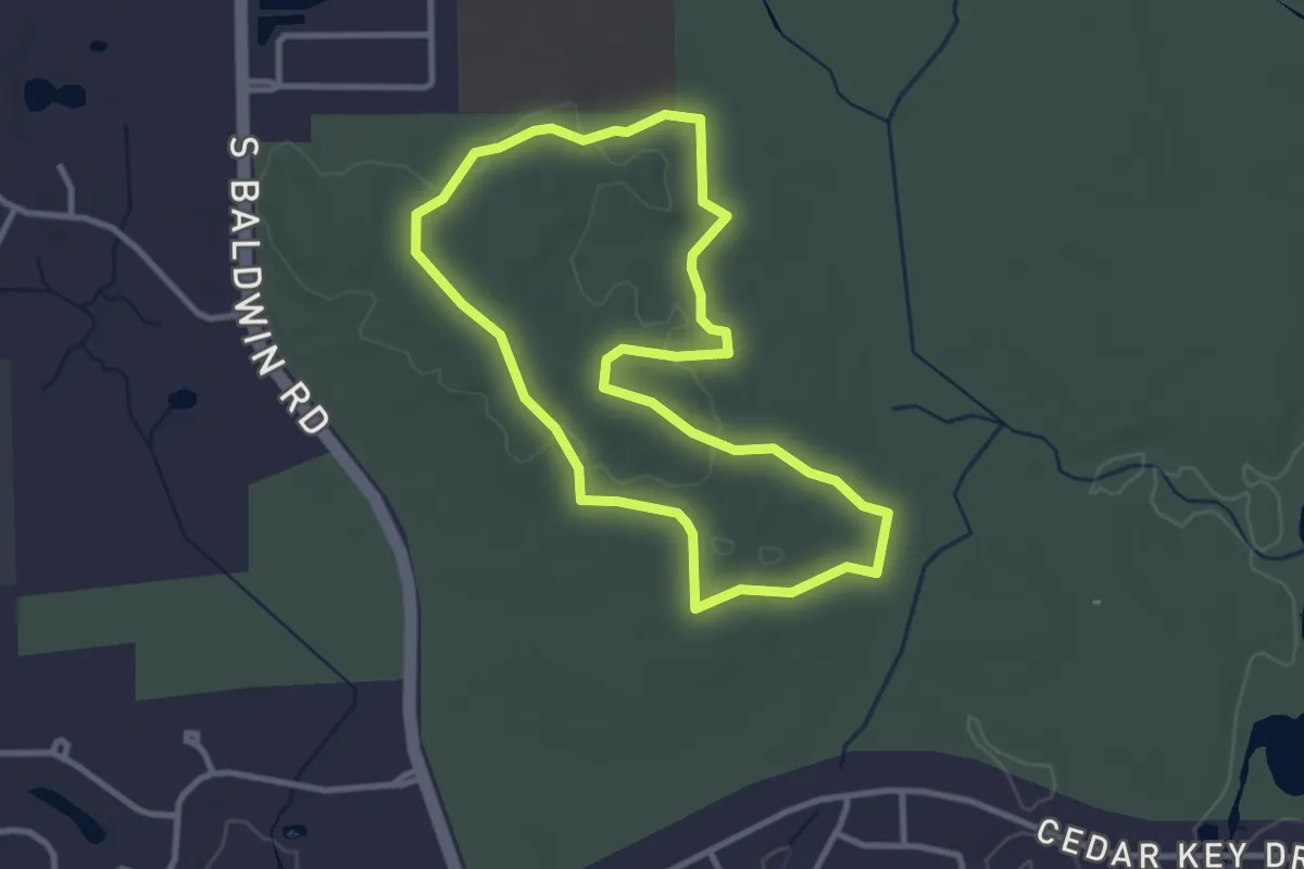
Easy · Trail
Fossil Hill Loop
3.2 km · ↑ 42 m · 54 min
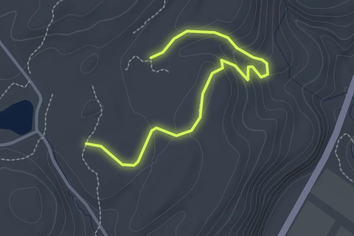
Easy · Trail
Fossil Trail
3.0 km · ↑ 114 m · 57 min
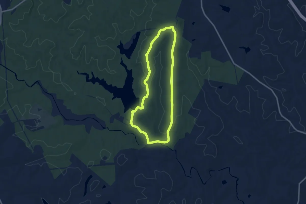
Medium · Trail
Fosters Mill Loop Trail
8.4 km · ↑ 116 m · 2 h 22 min
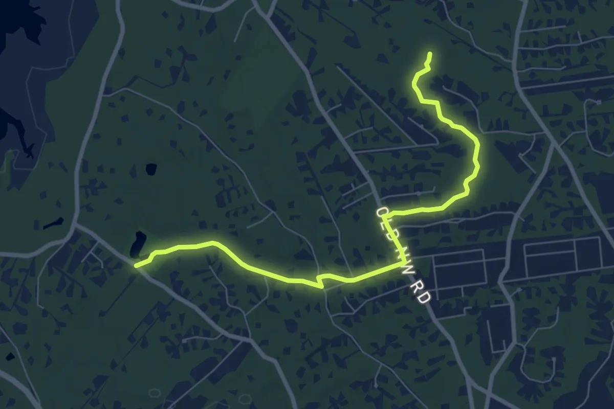
Medium · Trail
Fosters Path
8.2 km · ↑ 59 m · 2 h 4 min
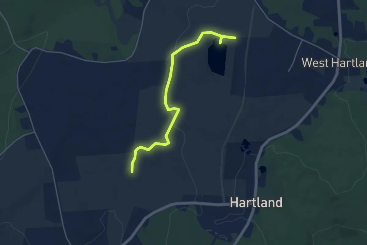
Easy · Trail
Fosters Pond Trail
4.3 km · ↑ 59 m · 1 h 9 min
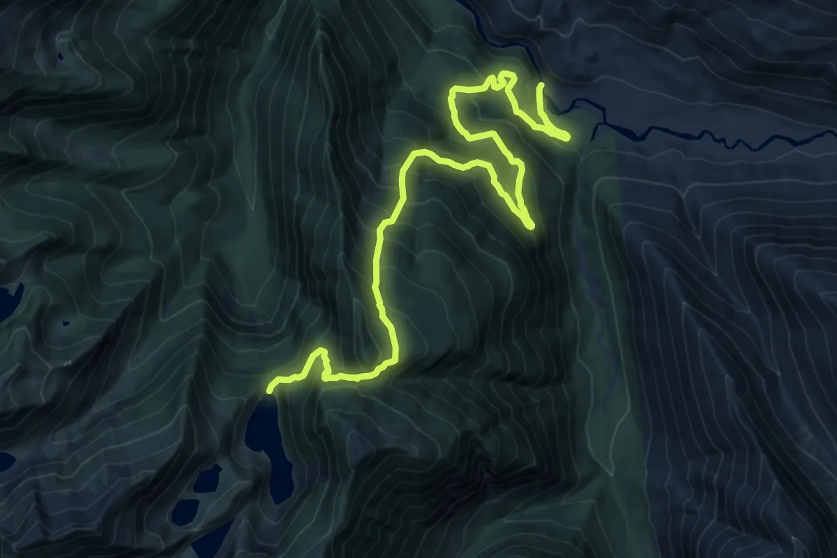
Expert · Trail
Found Lake Trail
10.2 km · ↑ 1268 m · 4 h 51 min
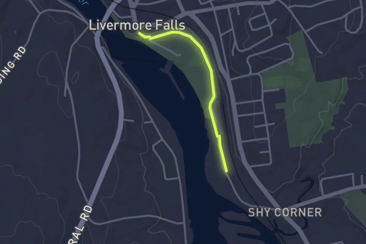
Easy · Trail
Foundry Trail
2.3 km · ↑ 8 m · 33 min
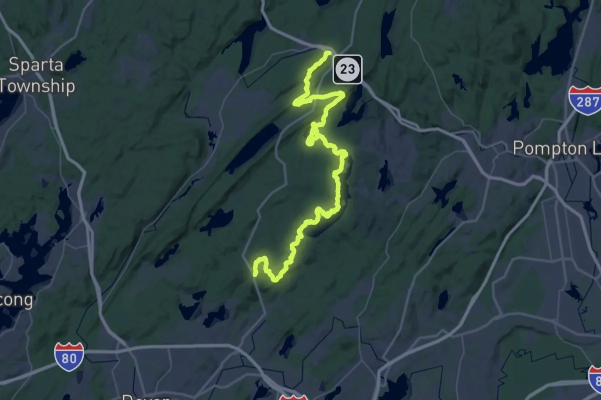
Demanding · Trail
Four Birds Trail
28.7 km · ↑ 955 m · 9 h 13 min
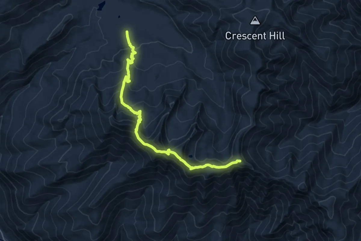
Demanding · Summit
Four Mile Ridge Trail
16.3 km · ↑ 881 m · 5 h 46 min
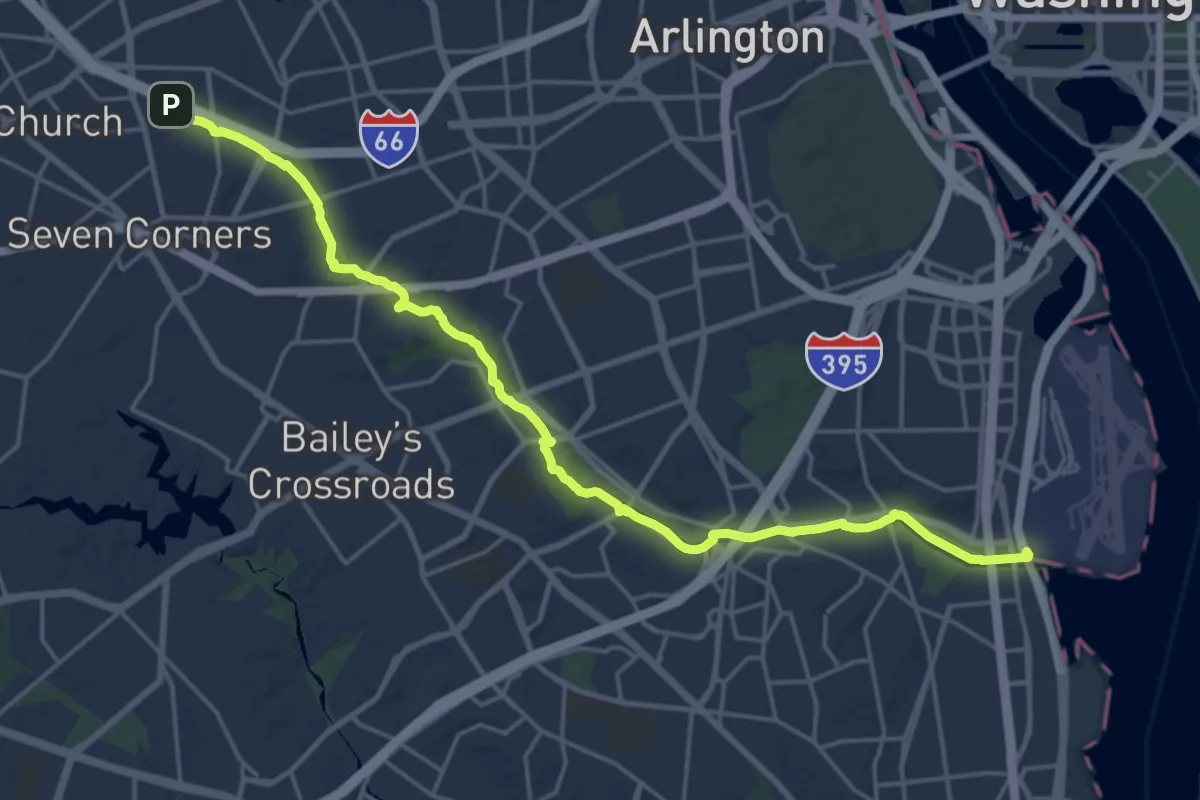
Demanding · Trail
Four Mile Run Trail
24.4 km · ↑ 100 m · 5 h 58 min
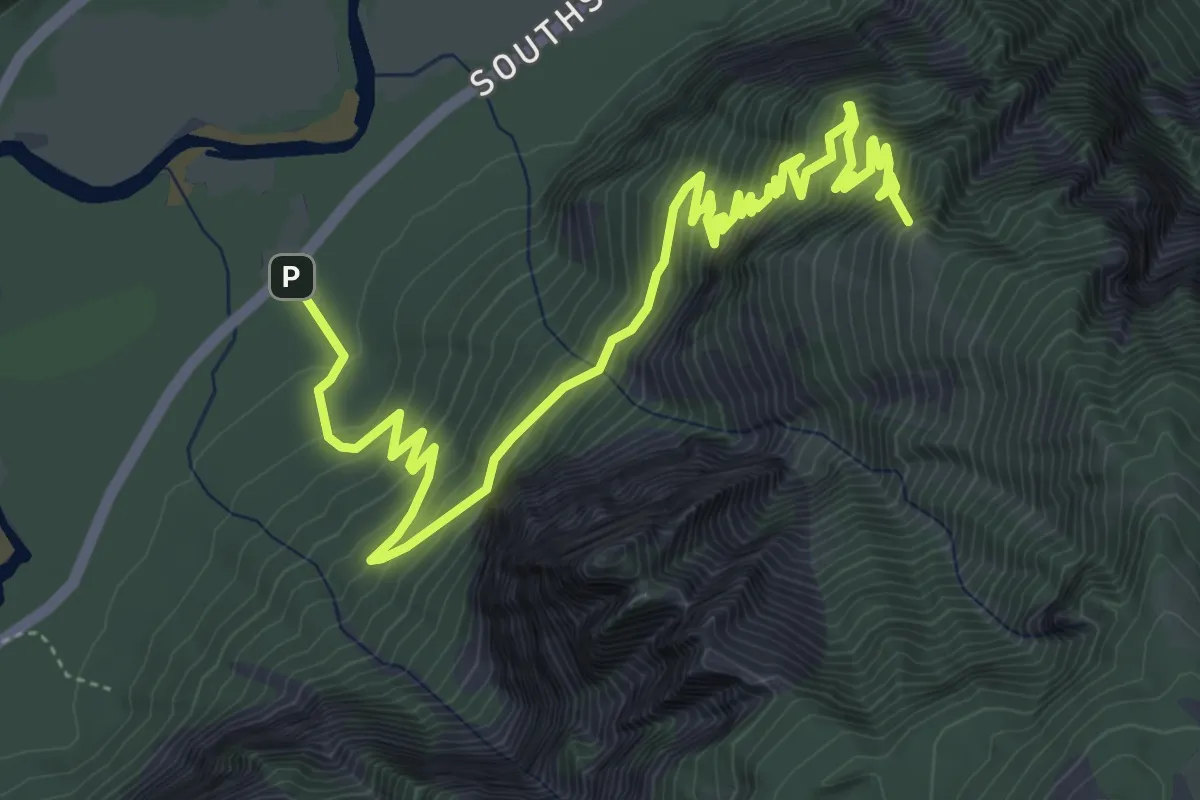
Medium · Summit
Four Mile Trail
8.1 km · ↑ 791 m · 3 h 38 min
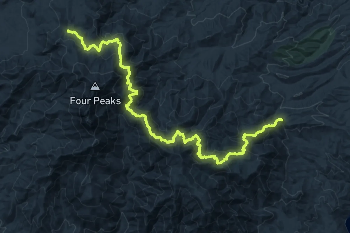
Demanding · Trail
Four Peaks Trail #130
19.4 km · ↑ 1409 m · 7 h 36 min
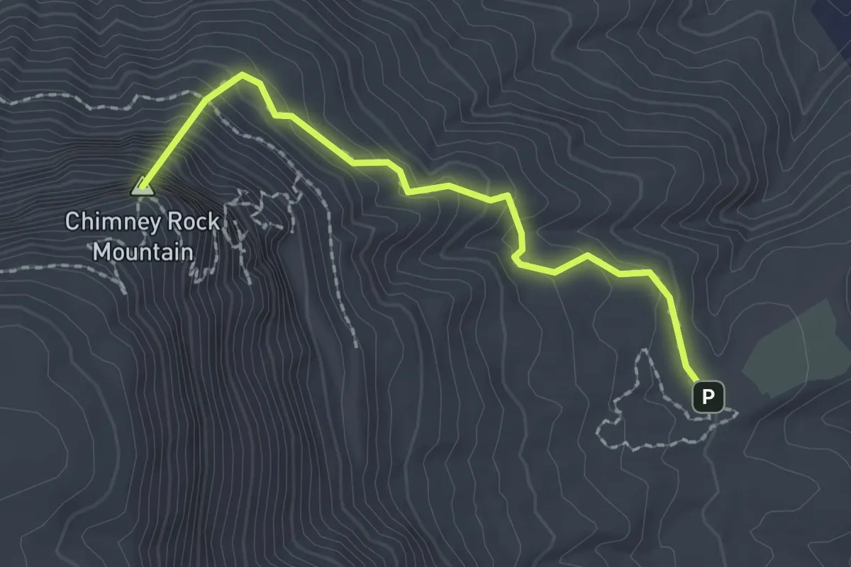
Easy · Summit
Four Seasons Trail
2.3 km · ↑ 305 m · 1 h 12 min
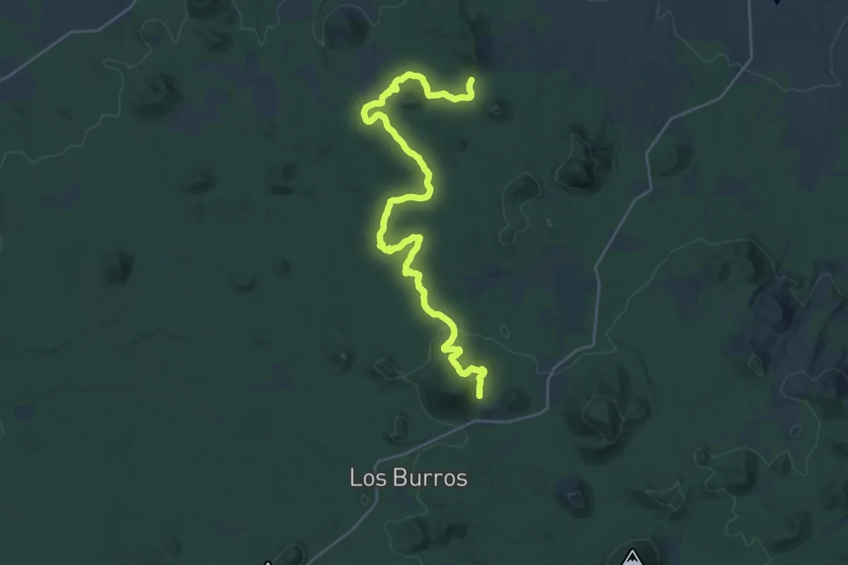
Medium · Trail
Four Springs Trail
14.0 km · ↑ 269 m · 4 h 10 min
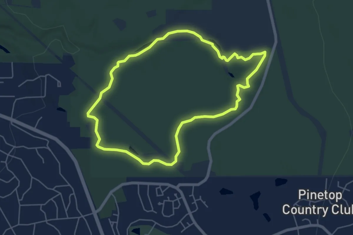
Easy · Trail
Four Springs Trail
5.4 km · ↑ 37 m · 1 h 26 min