Trails in United States
10,367 hiking trails, each with its route, climb, walking time and grade.
All trails, page 88 of 216
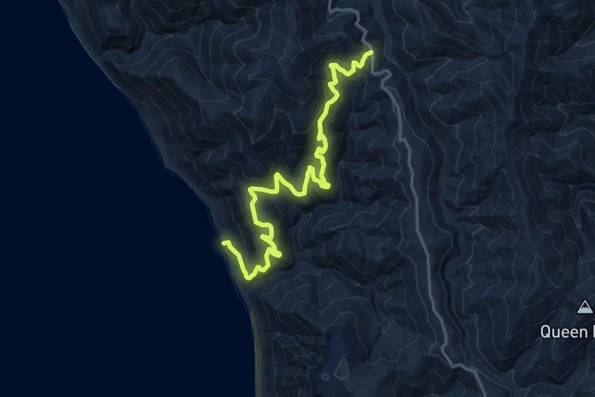
Demanding · Trail
Horse Mountain Creek Trail
13.7 km · ↑ 961 m · 5 h 19 min
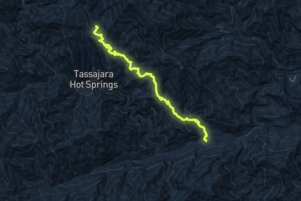
Demanding · Trail
Horse Pasture Trail
14.1 km · ↑ 965 m · 5 h 26 min
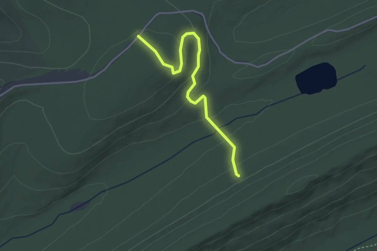
Easy · Trail
Horse Path Trail
3.7 km · ↑ 128 m · 1 h 9 min
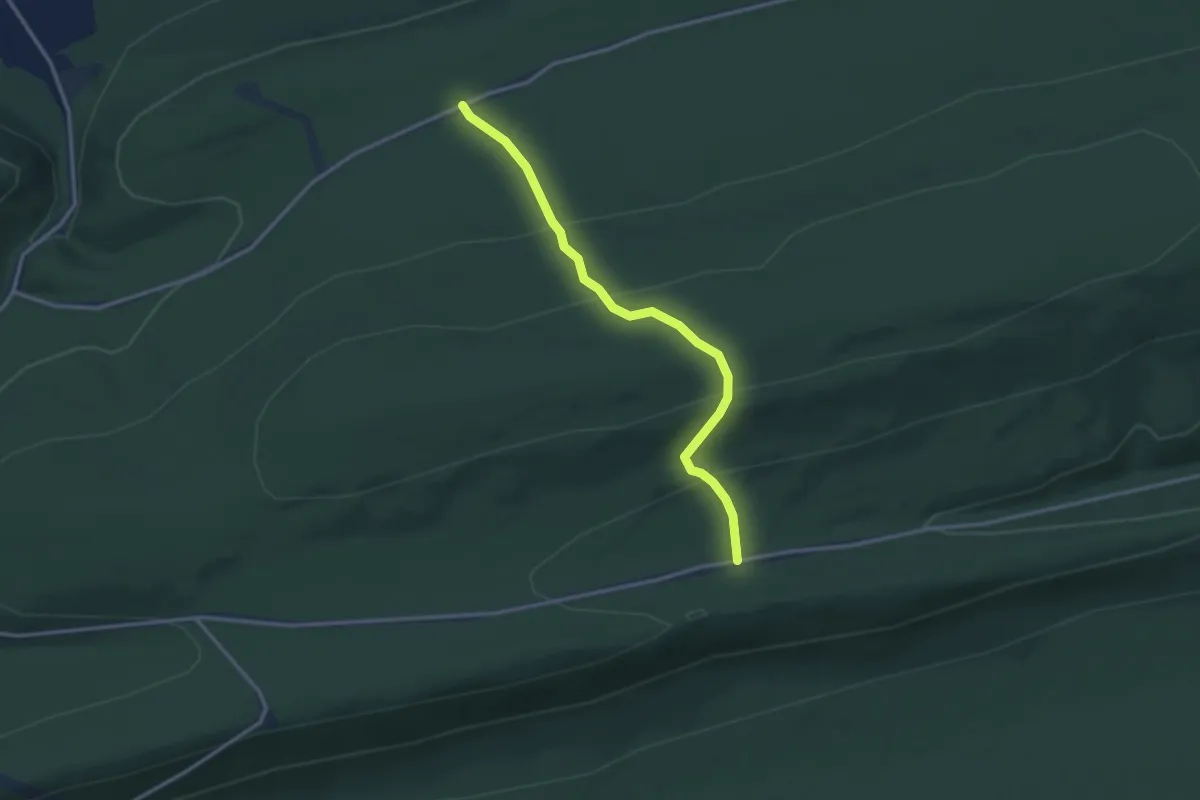
Easy · Trail
Horse Path Trail
3.3 km · ↑ 168 m · 1 h 8 min
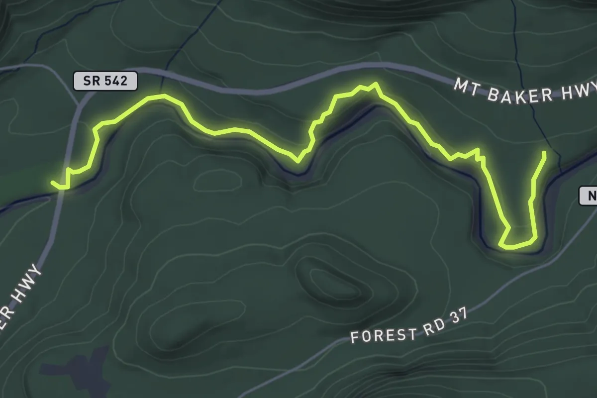
Easy · Trail
Horseshoe Bend Trail
6.0 km · ↑ 170 m · 1 h 48 min
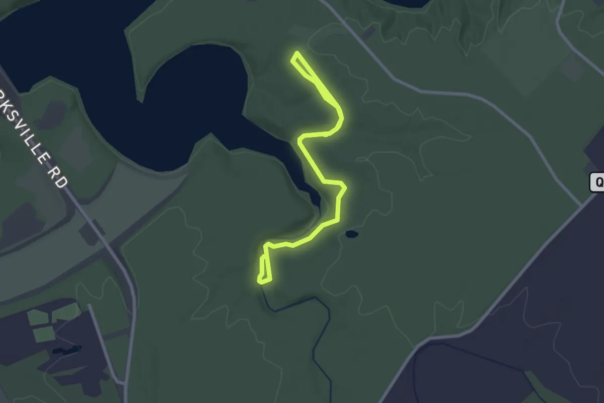
Easy · Trail
Horseshoe Falls Trail
3.5 km · ↑ 27 m · 53 min
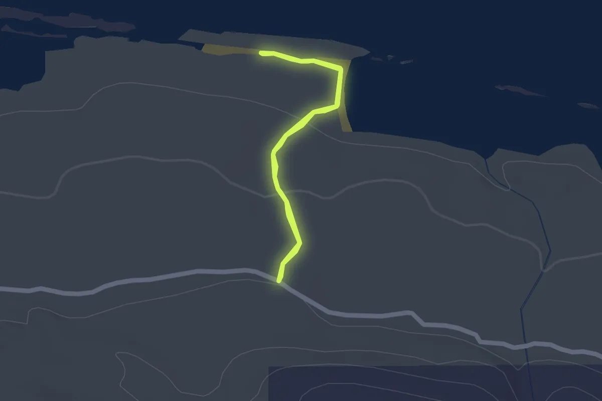
Easy · Trail
Horseshoe Harbor Trail
1.4 km · ↑ 24 m · 24 min
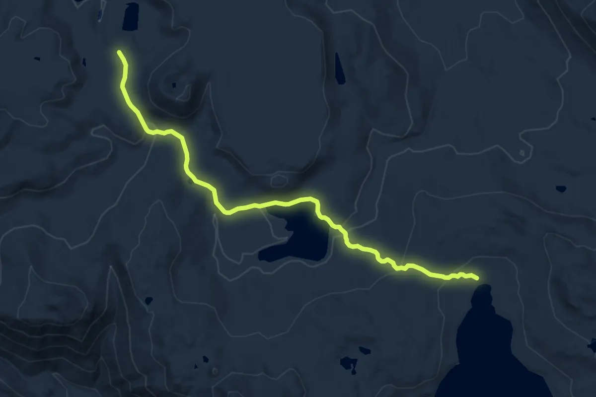
Medium · Trail
Horseshoe Lake Trail
13.7 km · ↑ 312 m · 3 h 55 min
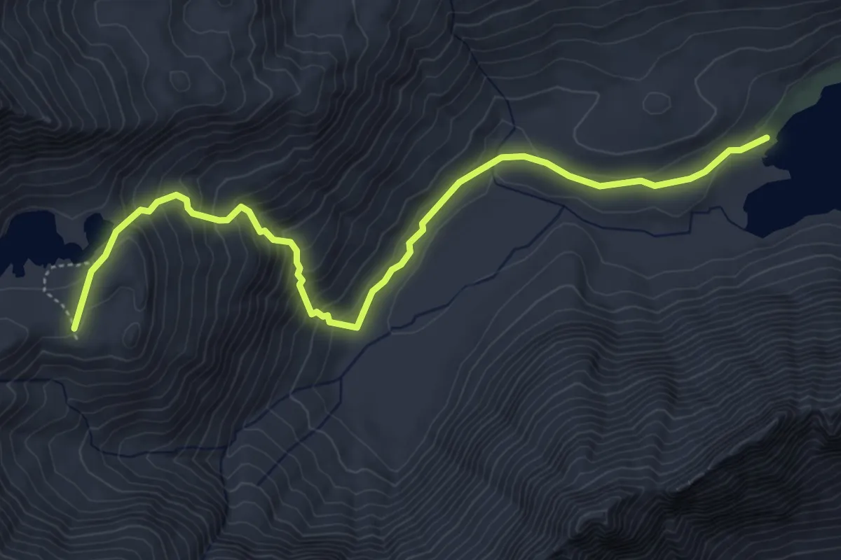
Medium · Trail
Horseshoe Lake Trail
5.5 km · ↑ 424 m · 2 h 14 min
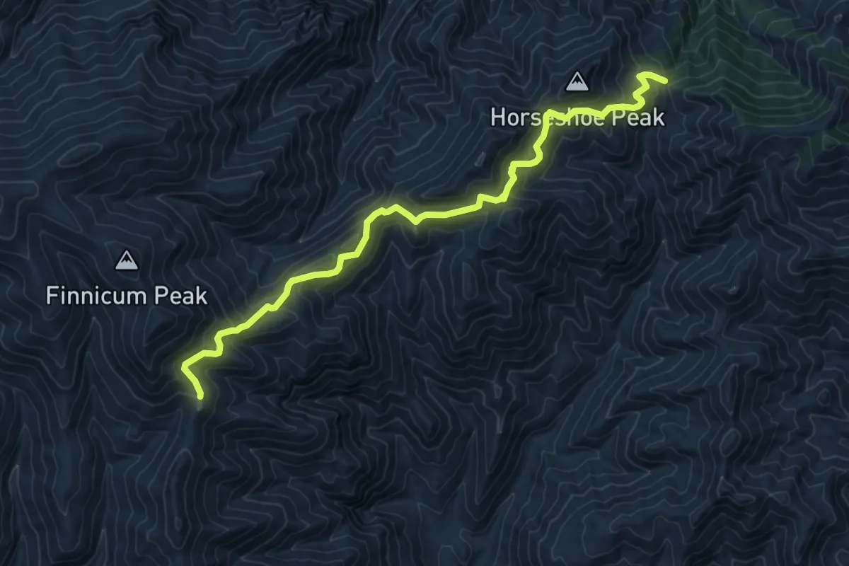
Medium · Trail
Horseshoe Ridge Trail #282
11.2 km · ↑ 522 m · 3 h 47 min
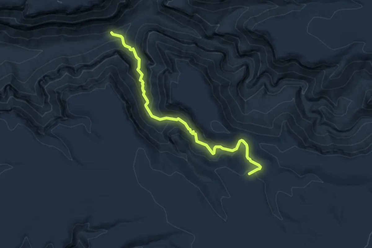
Medium · Trail
Horse Spring Trail #137
6.1 km · ↑ 367 m · 2 h 14 min
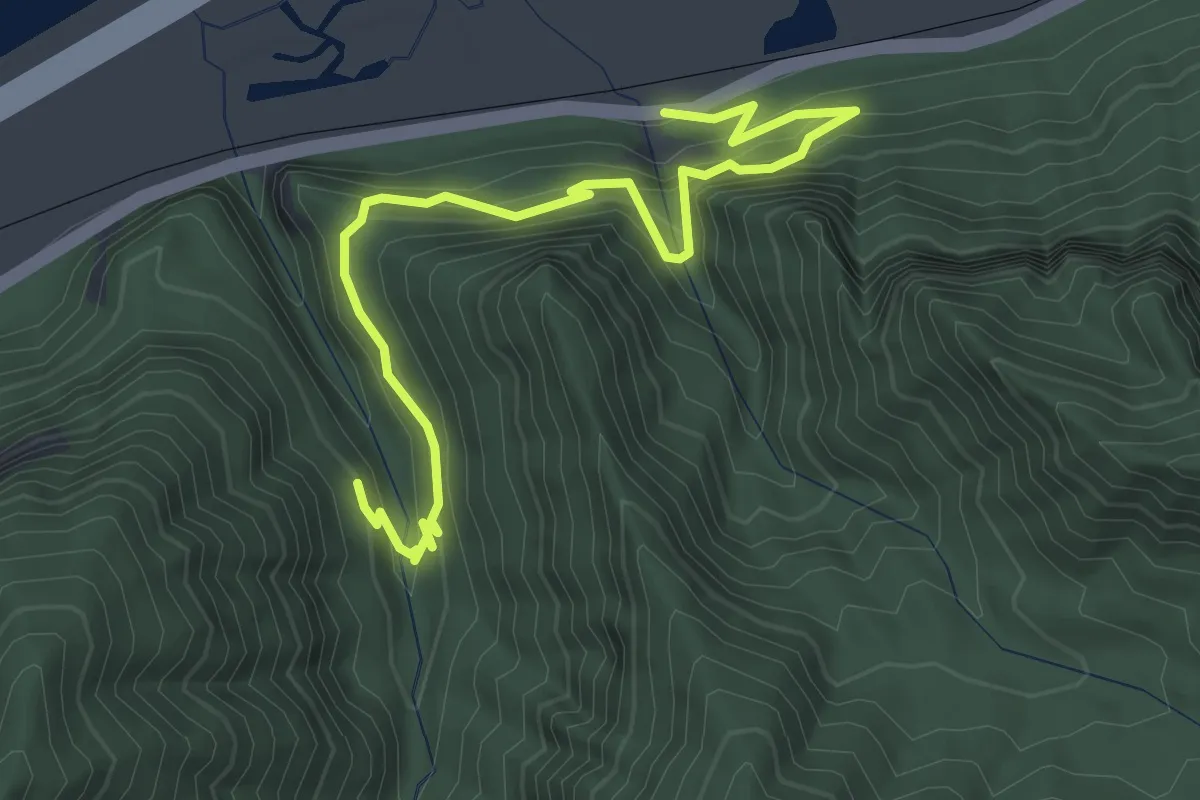
Medium · Trail
Horsetail Falls Trail
3.8 km · ↑ 356 m · 1 h 40 min
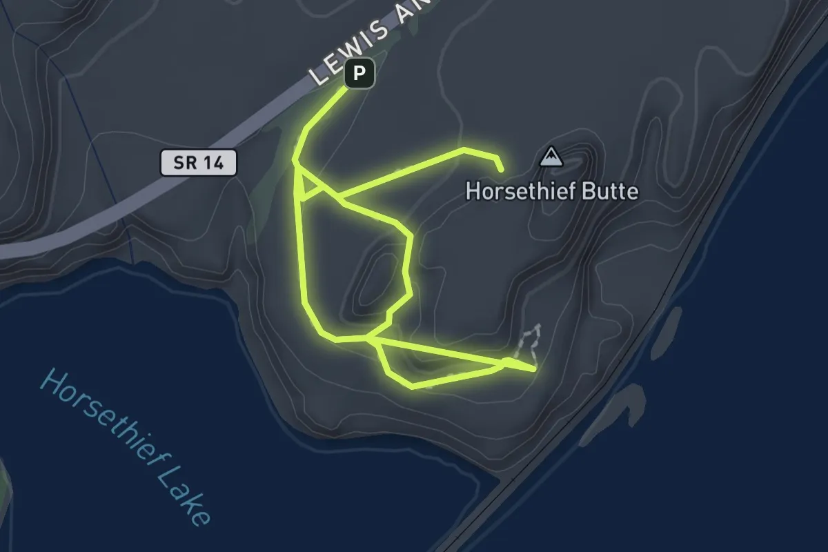
Easy · Summit
Horsethief Butte Trail
1.5 km · ↑ 64 m · 31 min
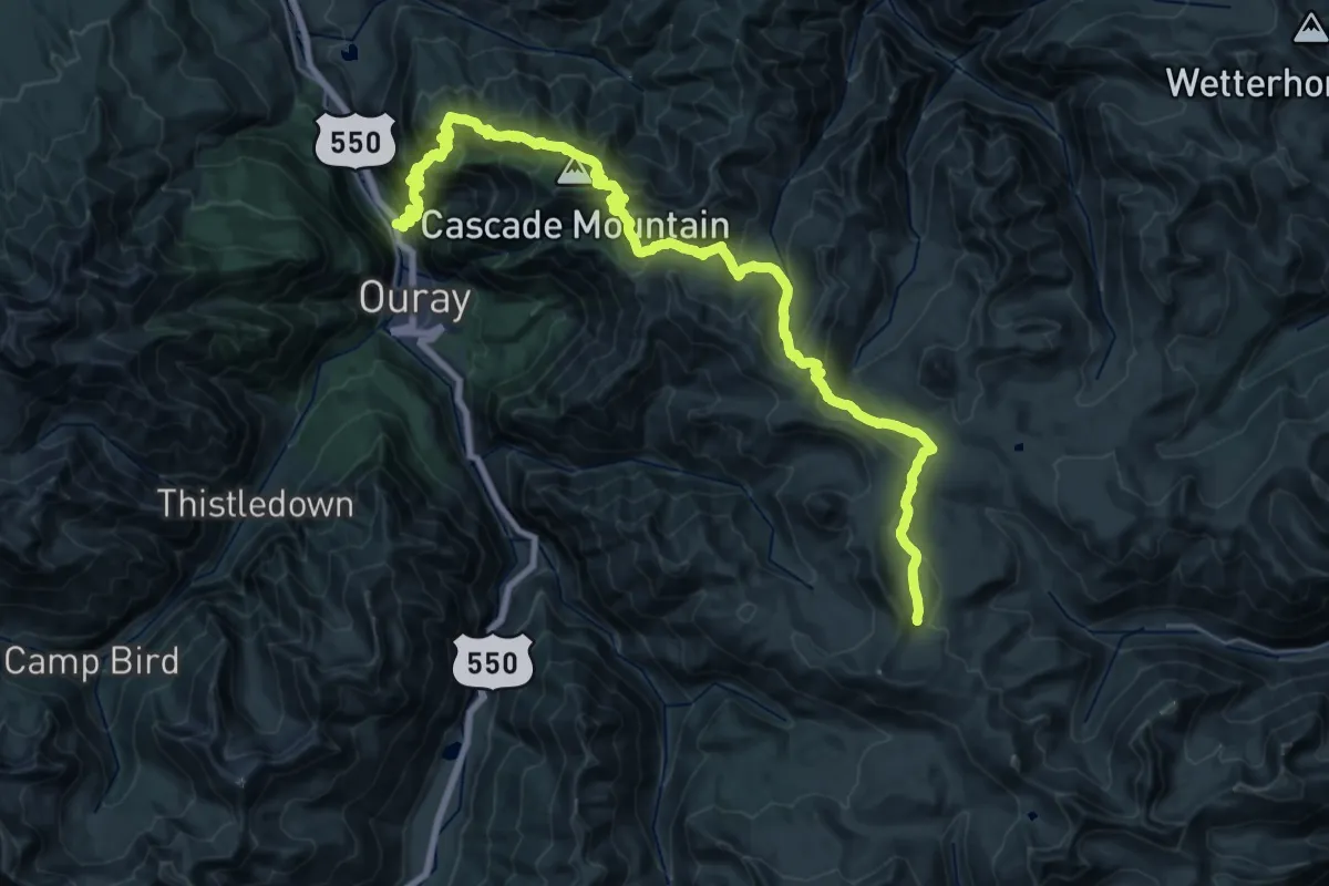
Demanding · Trail
Horsethief Trial
19.6 km · ↑ 2012 m · 8 h 31 min
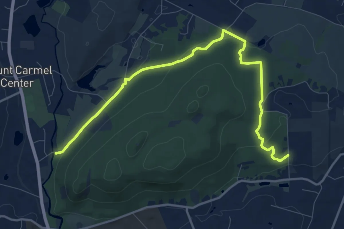
Medium · Trail
Horse Trail
11.2 km · ↑ 213 m · 3 h 6 min
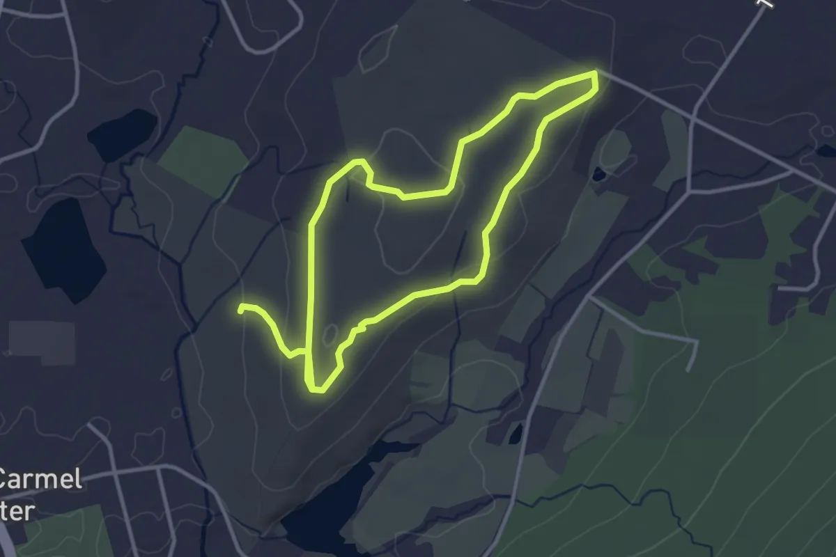
Easy · Trail
Horse Trail
3.2 km · ↑ 82 m · 58 min
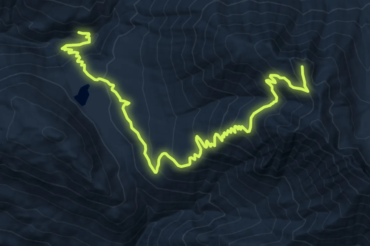
Demanding · Summit
Horton Butte Trail
18.9 km · ↑ 1461 m · 7 h 38 min
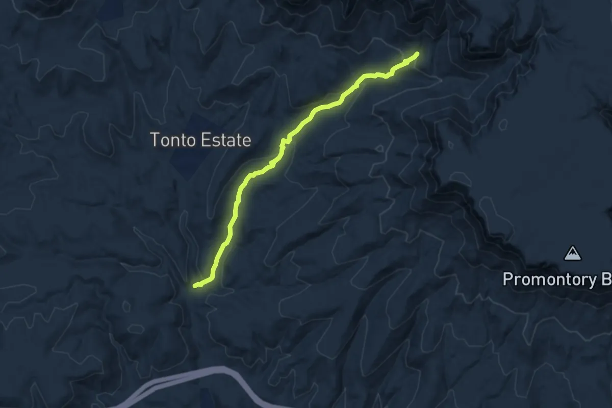
Medium · Trail
Horton Creek Trail #285
10.6 km · ↑ 352 m · 3 h 16 min
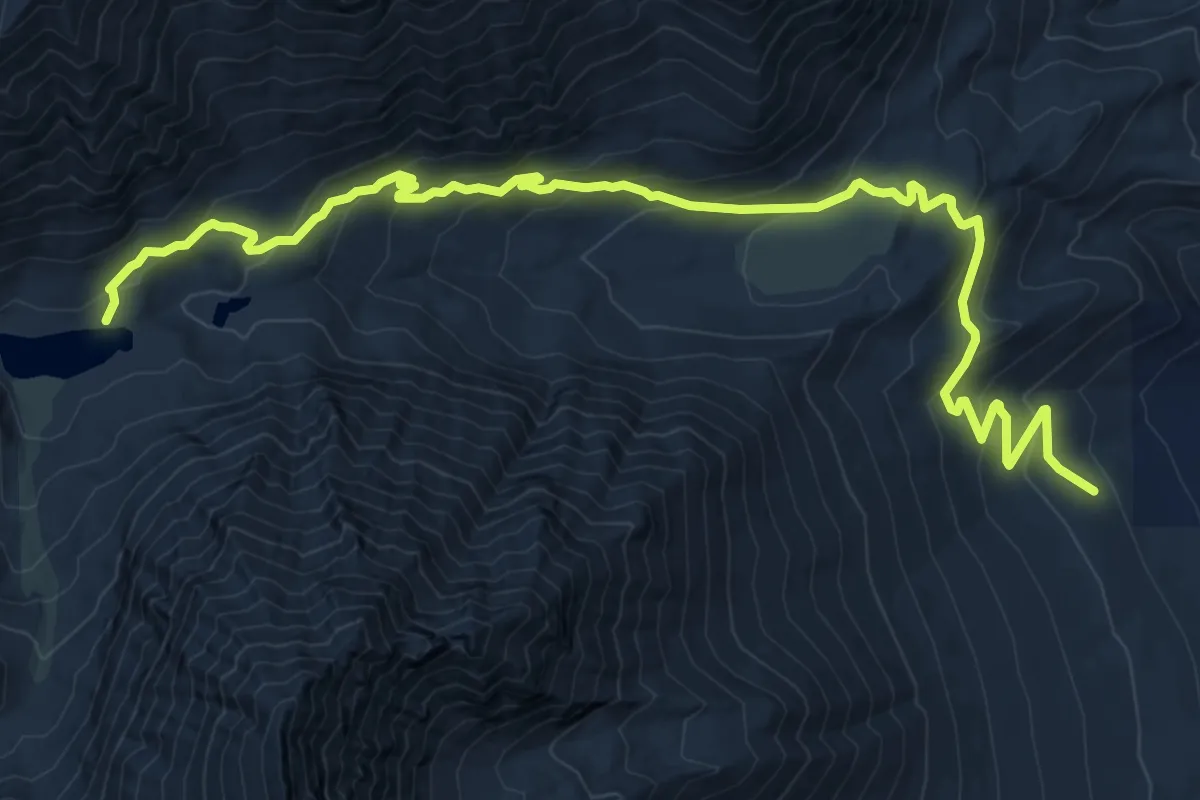
Medium · Trail
Horton Lakes Trail
12.2 km · ↑ 619 m · 4 h 13 min
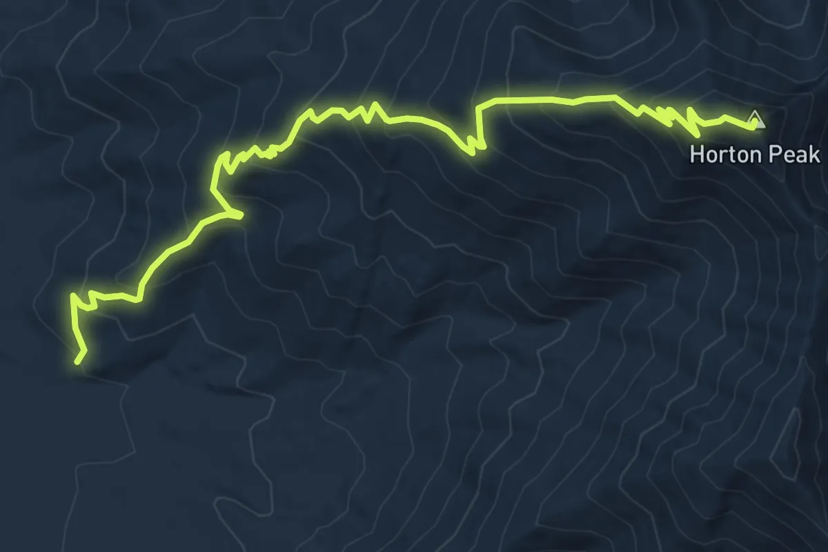
Demanding · Summit
Horton Peak Trail
9.6 km · ↑ 808 m · 4 h 1 min
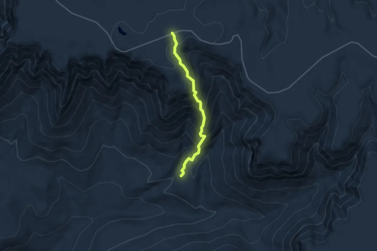
Medium · Trail
Horton Springs Trail #292
3.2 km · ↑ 393 m · 1 h 36 min
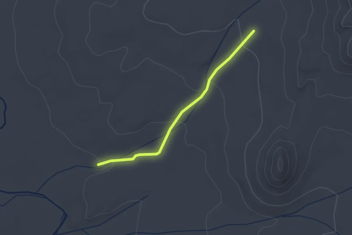
Easy · Trail
Horton Trail
2.5 km · ↑ 67 m · 43 min
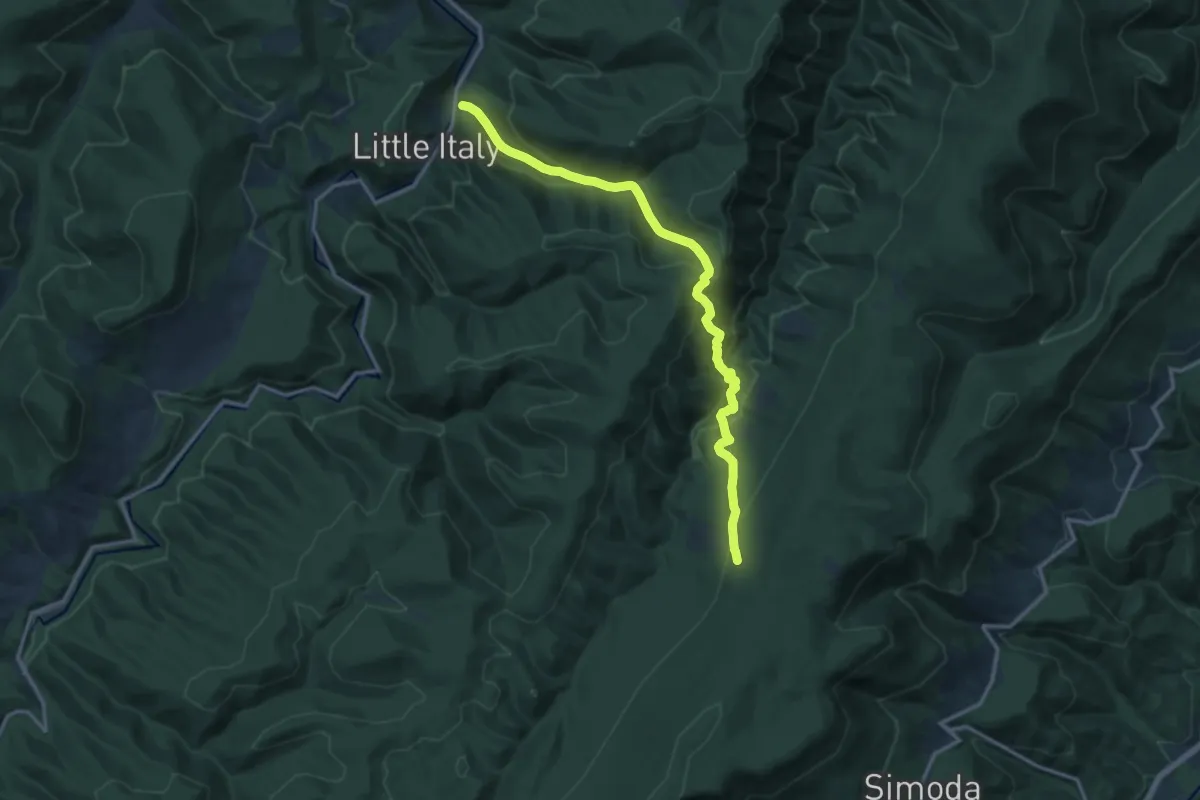
Demanding · Trail
Horton Trail
15.7 km · ↑ 903 m · 5 h 40 min
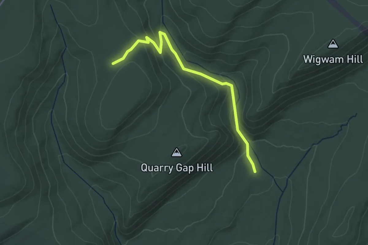
Easy · Trail
Hosack Trail
3.8 km · ↑ 177 m · 1 h 17 min
Easy · Trail
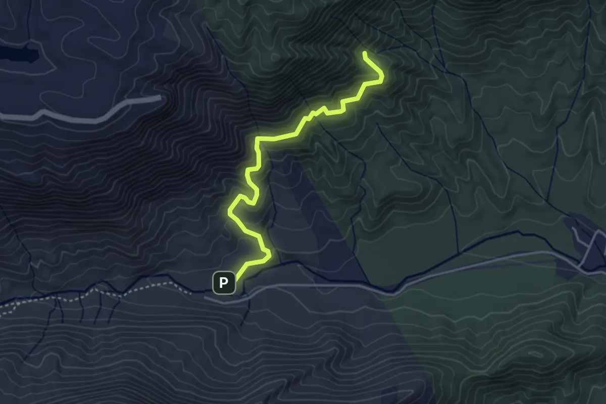
Hospital Rock Trail
4.2 km · ↑ 249 m · 1 h 33 min
Demanding · Summit
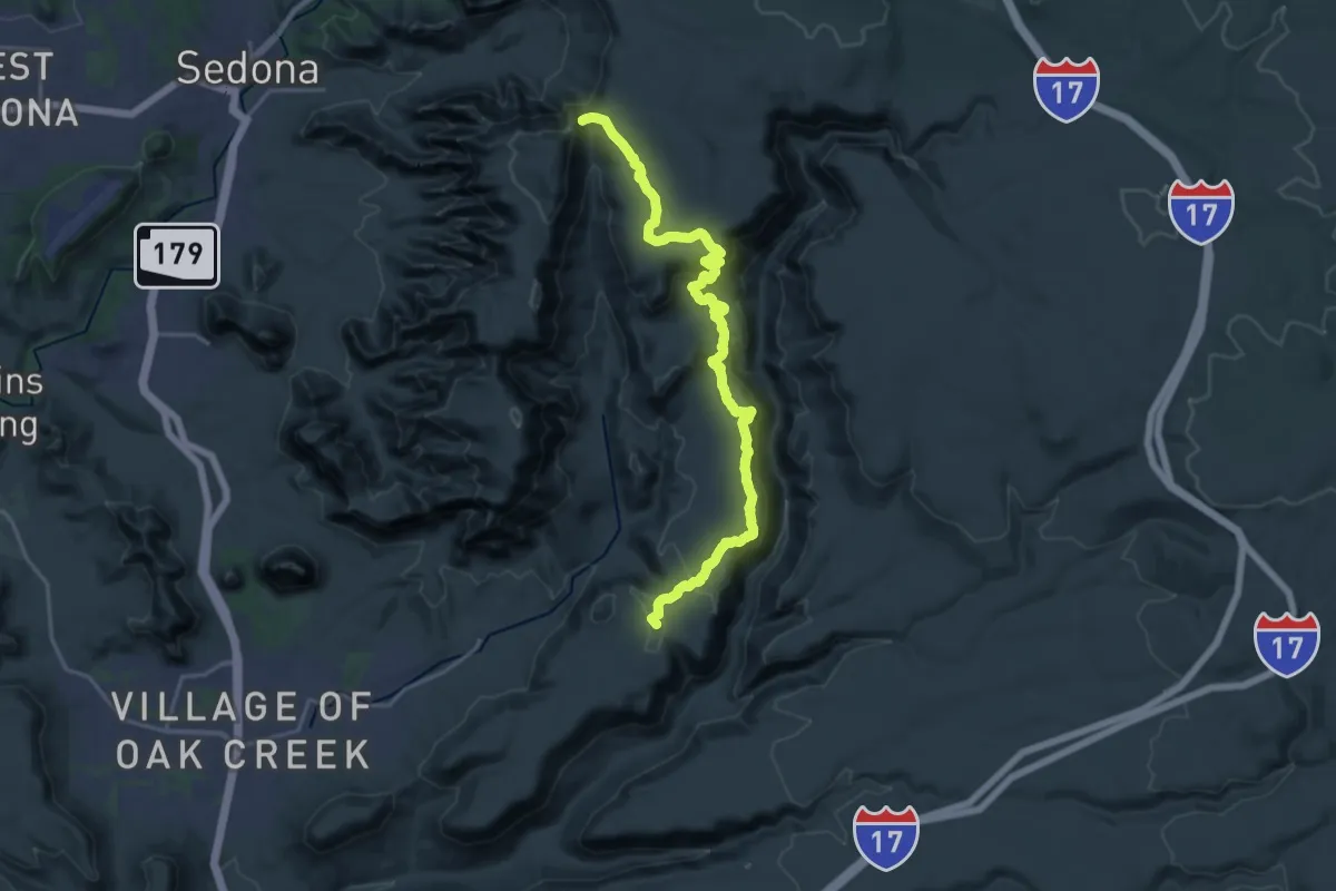
Hot Loop #40
24.7 km · ↑ 628 m · 7 h 12 min
Easy · Trail
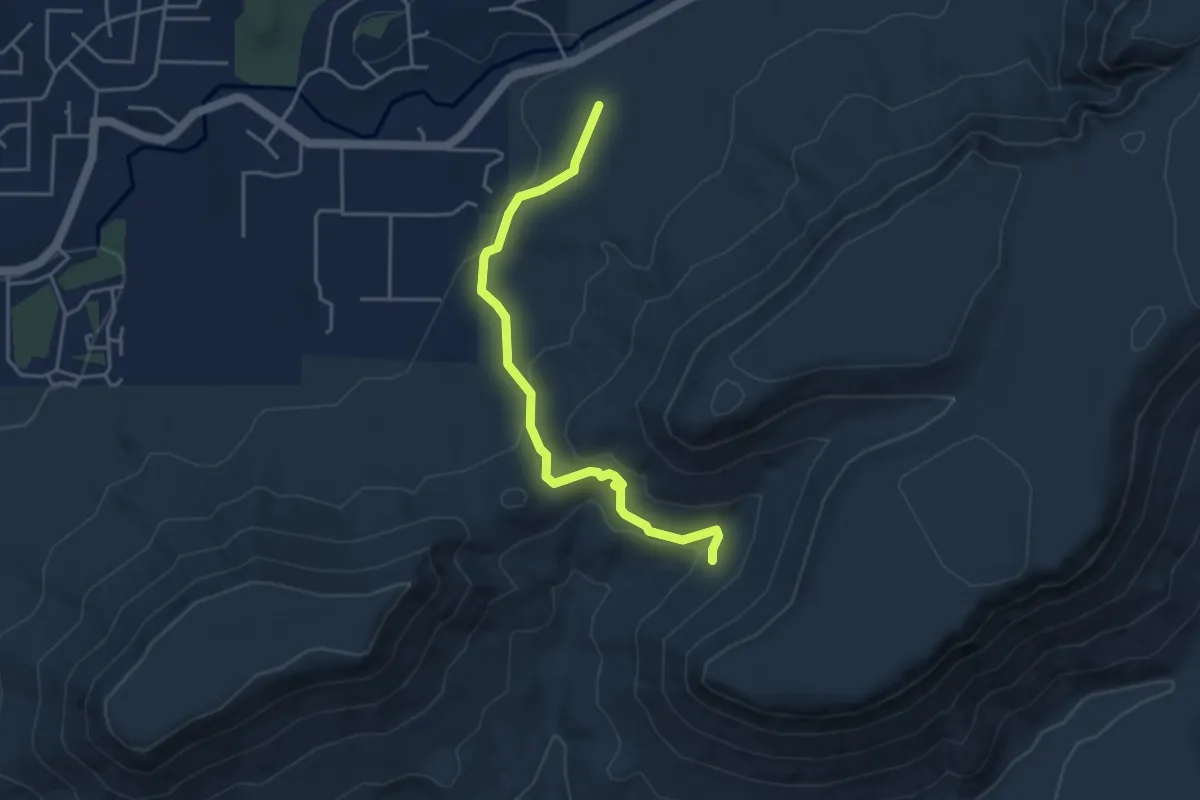
Hot Loop A #40A
4.8 km · ↑ 134 m · 1 h 25 min
Medium · Trail
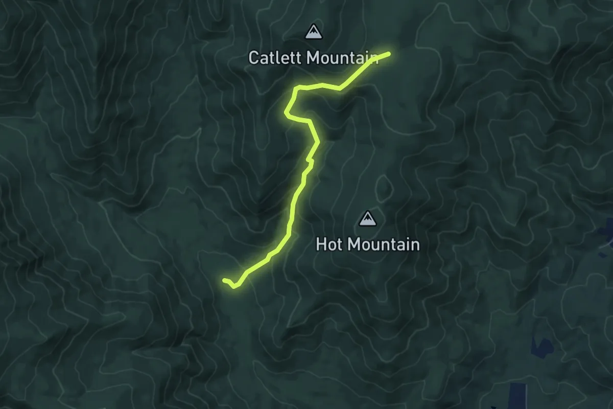
Hot Short Mountain Trail
6.6 km · ↑ 410 m · 2 h 27 min
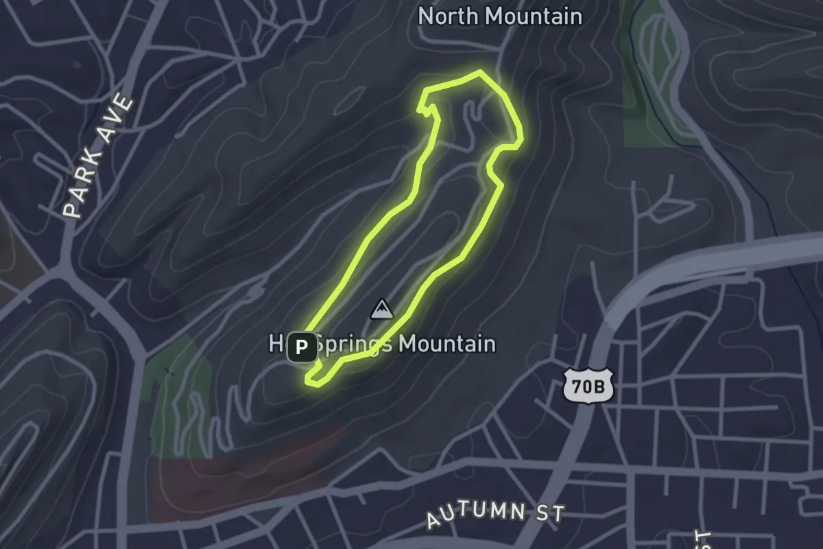
Easy · Summit
Hot Springs Mountain Trail
2.6 km · ↑ 83 m · 49 min
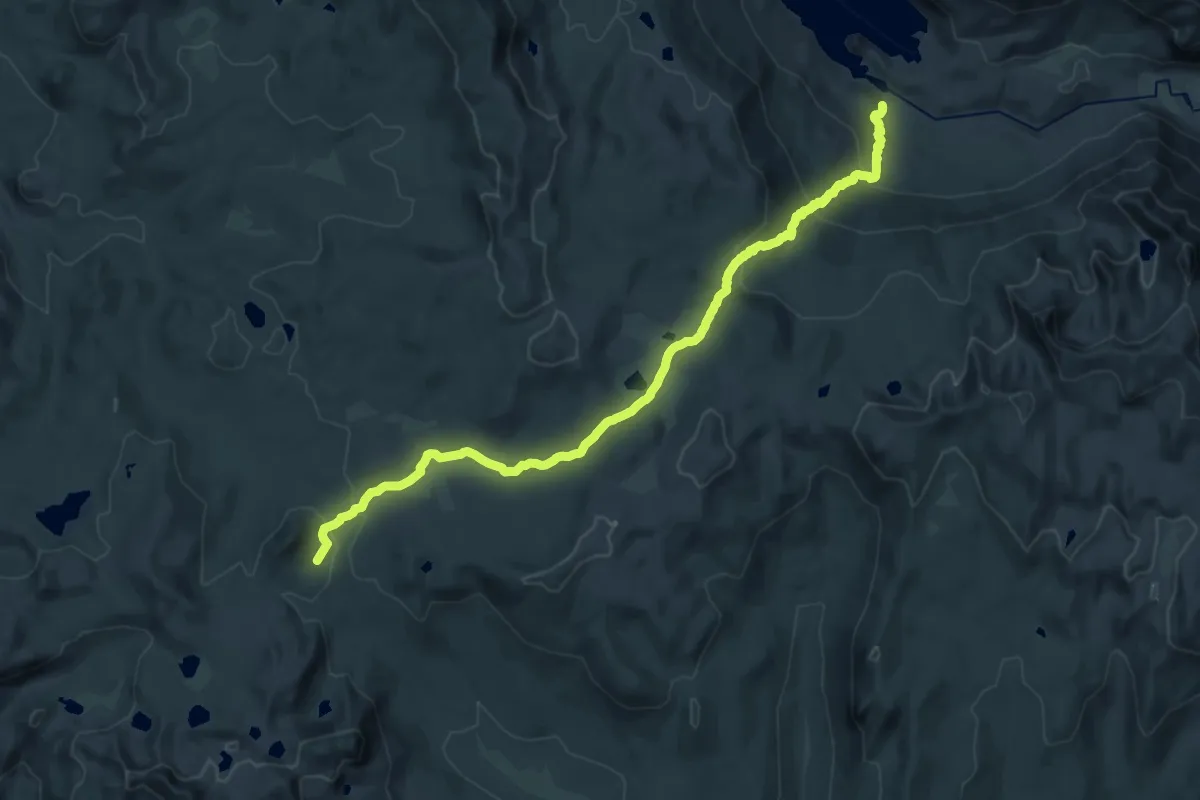
Medium · Trail
Hot Springs Pass Trail
13.7 km · ↑ 109 m · 3 h 57 min
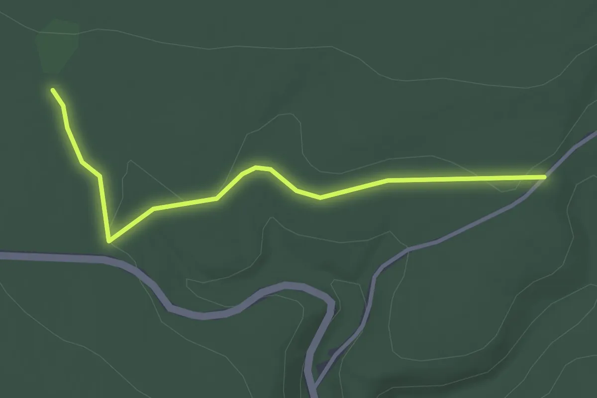
Easy · Trail
Hough Mountain Trail
3.3 km · ↑ 41 m · 52 min
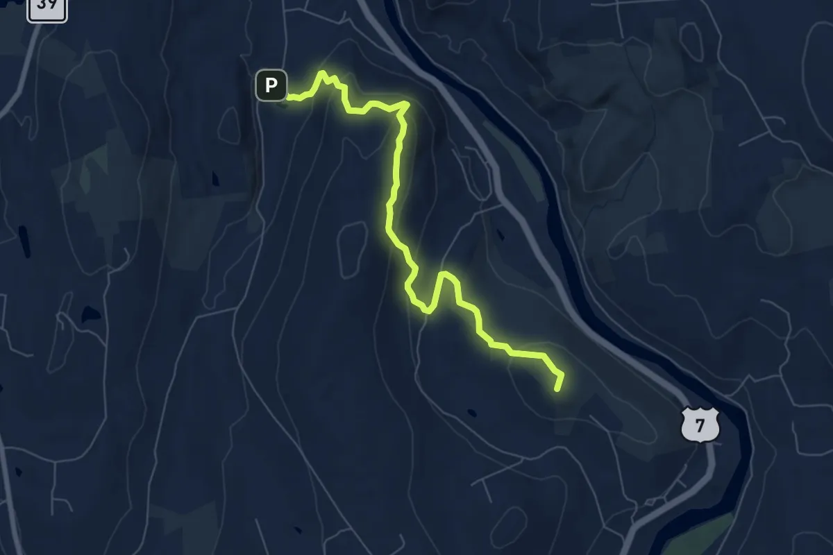
Medium · Summit
Housatonic Range Trail
7.9 km · ↑ 439 m · 2 h 49 min
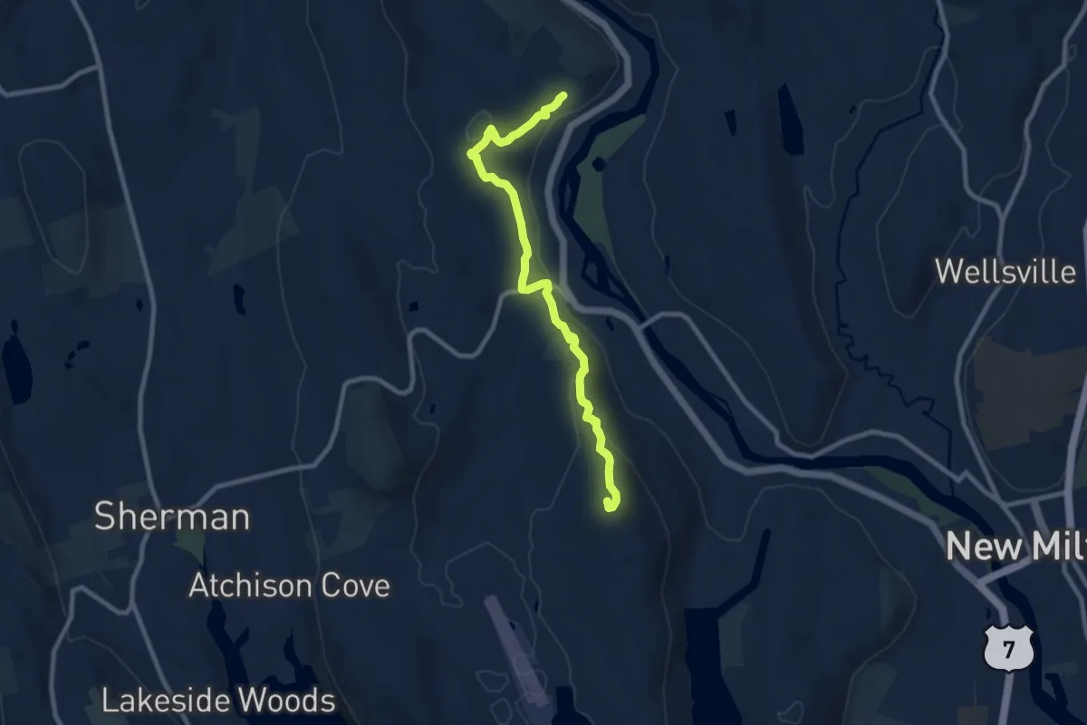
Medium · Summit
Housatonic Range Trail
9.8 km · ↑ 490 m · 3 h 22 min
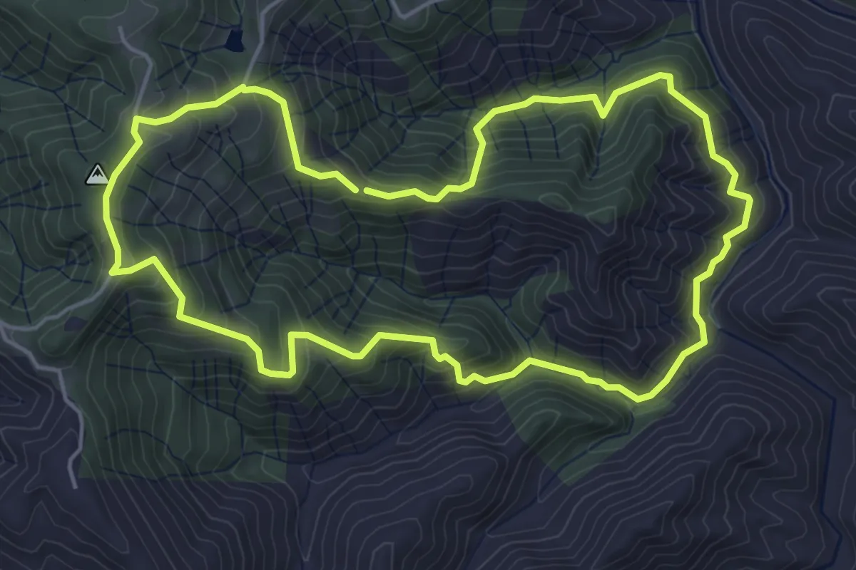
Medium · Trail
House Creek Loop
5.6 km · ↑ 406 m · 2 h 17 min
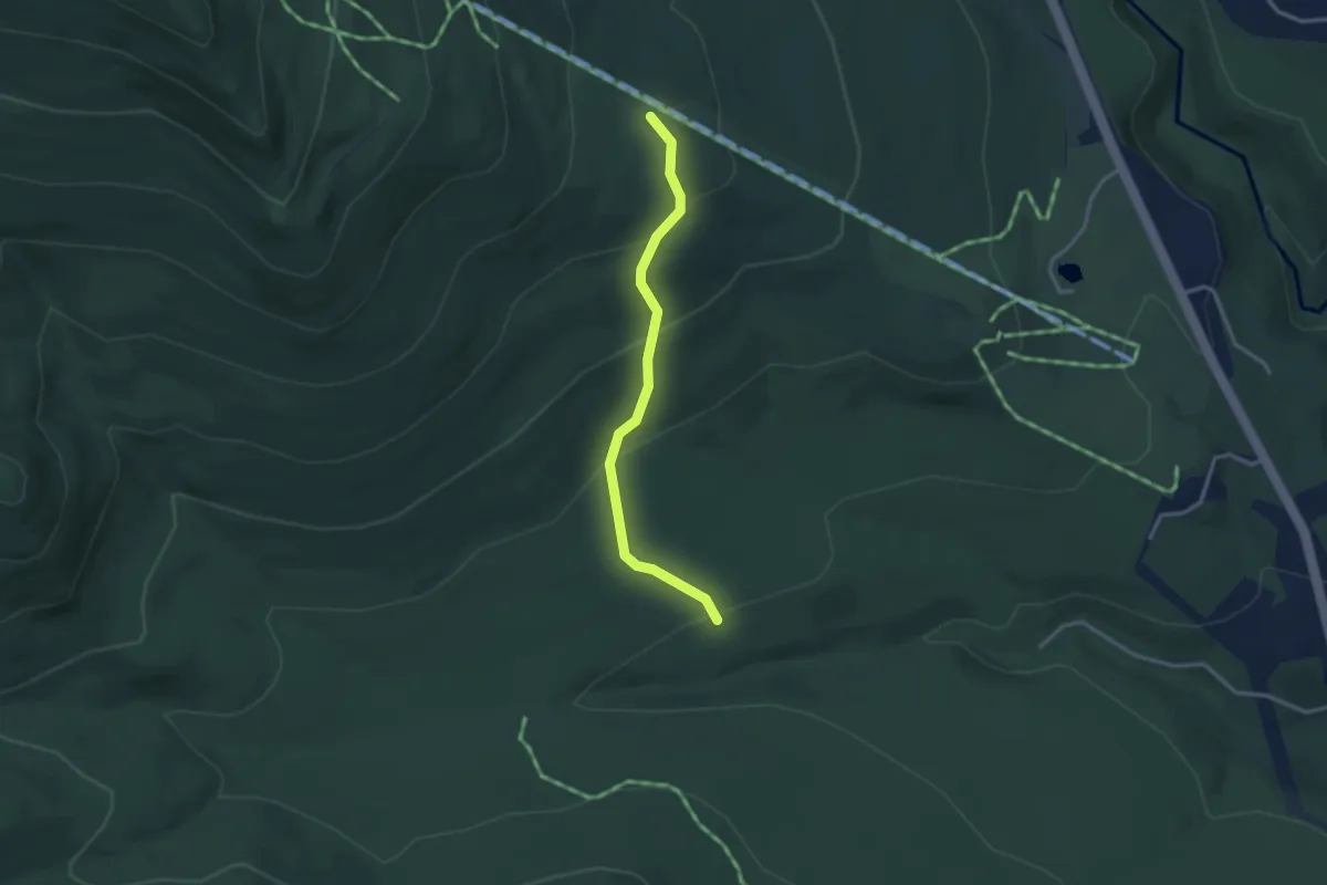
Easy · Trail
Houston
2.9 km · ↑ 178 m · 1 h 5 min
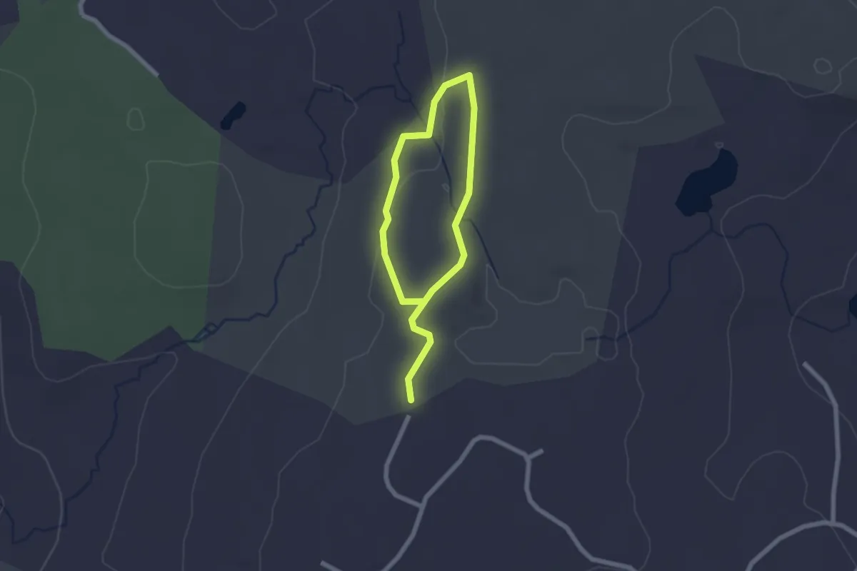
Easy · Trail
Houston Trail
3.2 km · ↑ 61 m · 53 min
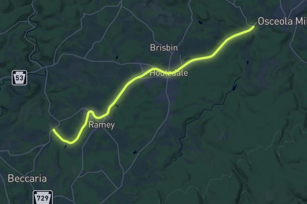
Demanding · Trail
Houtzdale Line Trail hiking
30.4 km · ↑ 121 m · 7 h 26 min
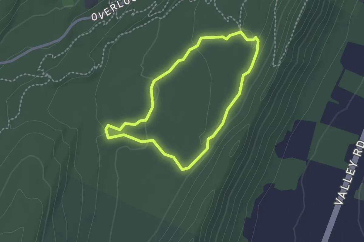
Easy · Trail
Hovermale Homestead
1.9 km · ↑ 27 m · 32 min
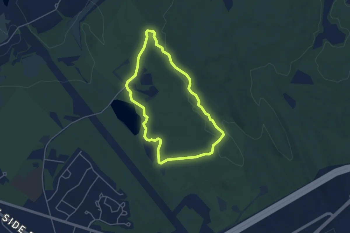
Easy · Summit
Howard C. Nowell Trail
3.7 km · ↑ 47 m · 1 h 1 min
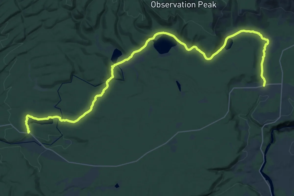
Medium · Trail
Howard Eaton Trail
17.3 km · ↑ 177 m · 4 h 43 min
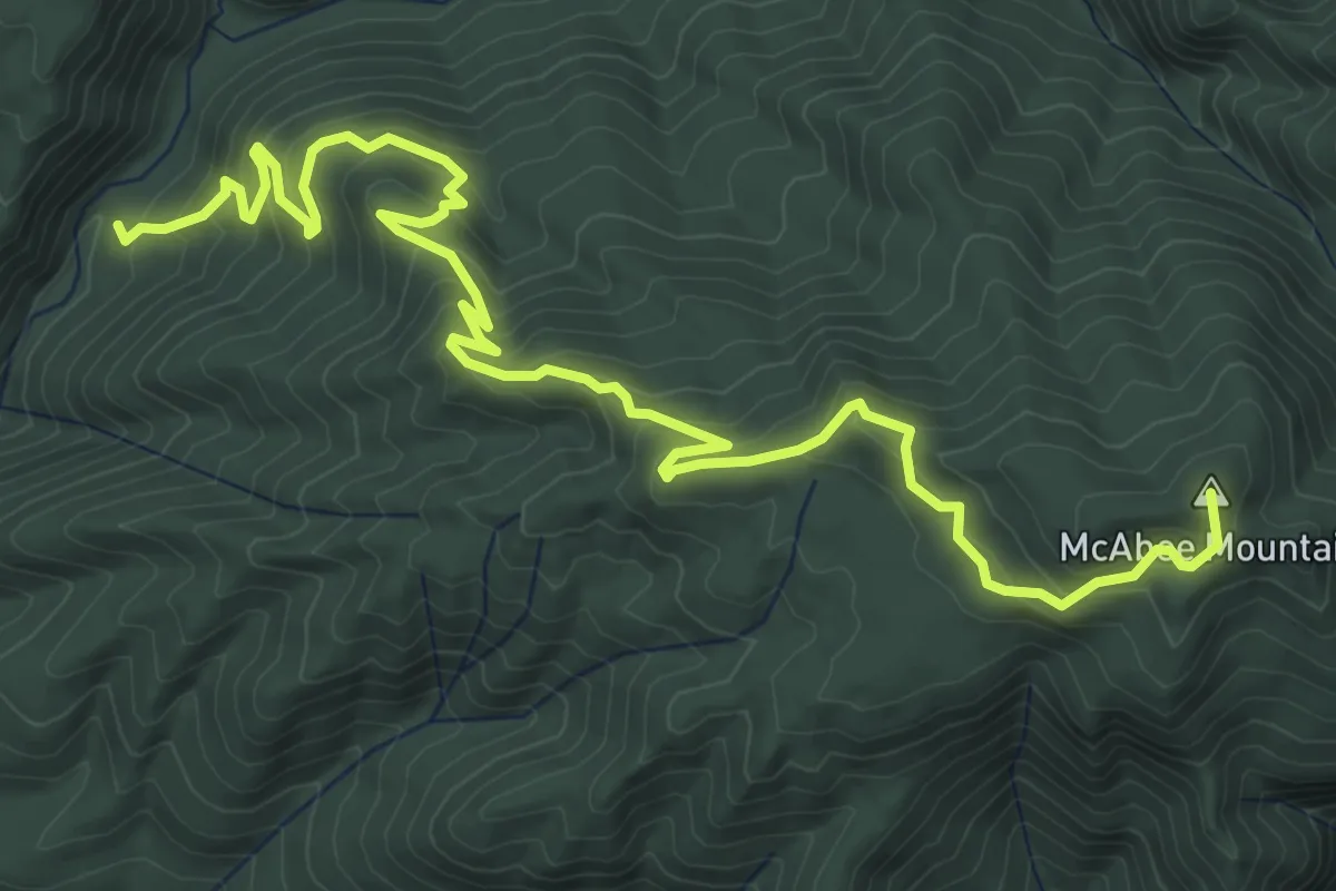
Medium · Summit
Howard King Trail
7.8 km · ↑ 509 m · 2 h 57 min
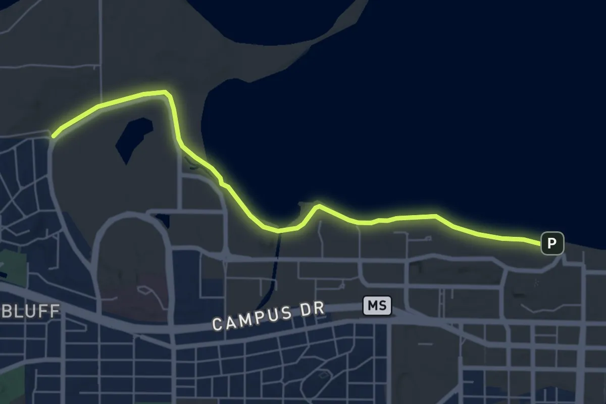
Easy · Trail
Howard Temin Lakeshore Path
6.7 km · ↑ 0 m · 1 h 35 min
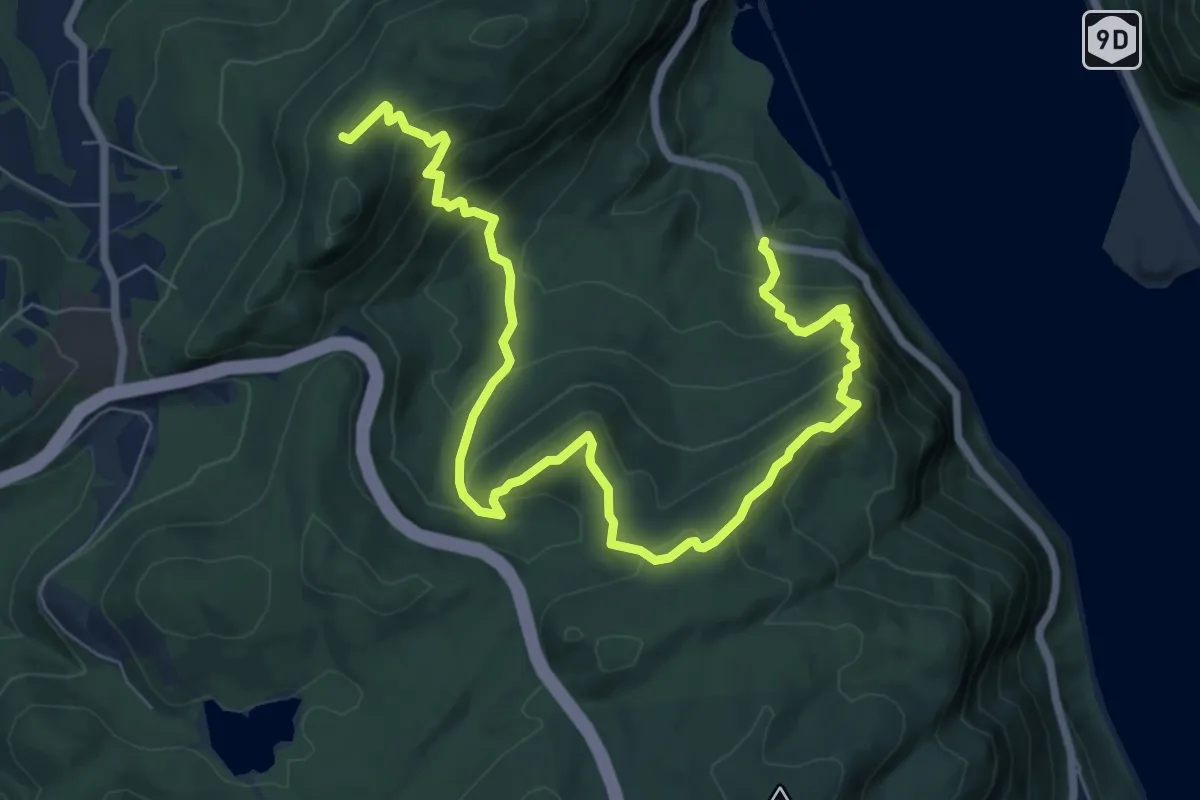
Medium · Trail
Howell Trail
10.6 km · ↑ 799 m · 4 h 15 min
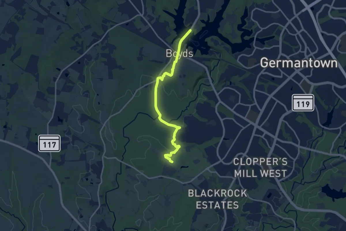
Medium · Trail
Hoyles Mill Trail
12.7 km · ↑ 102 m · 3 h 14 min
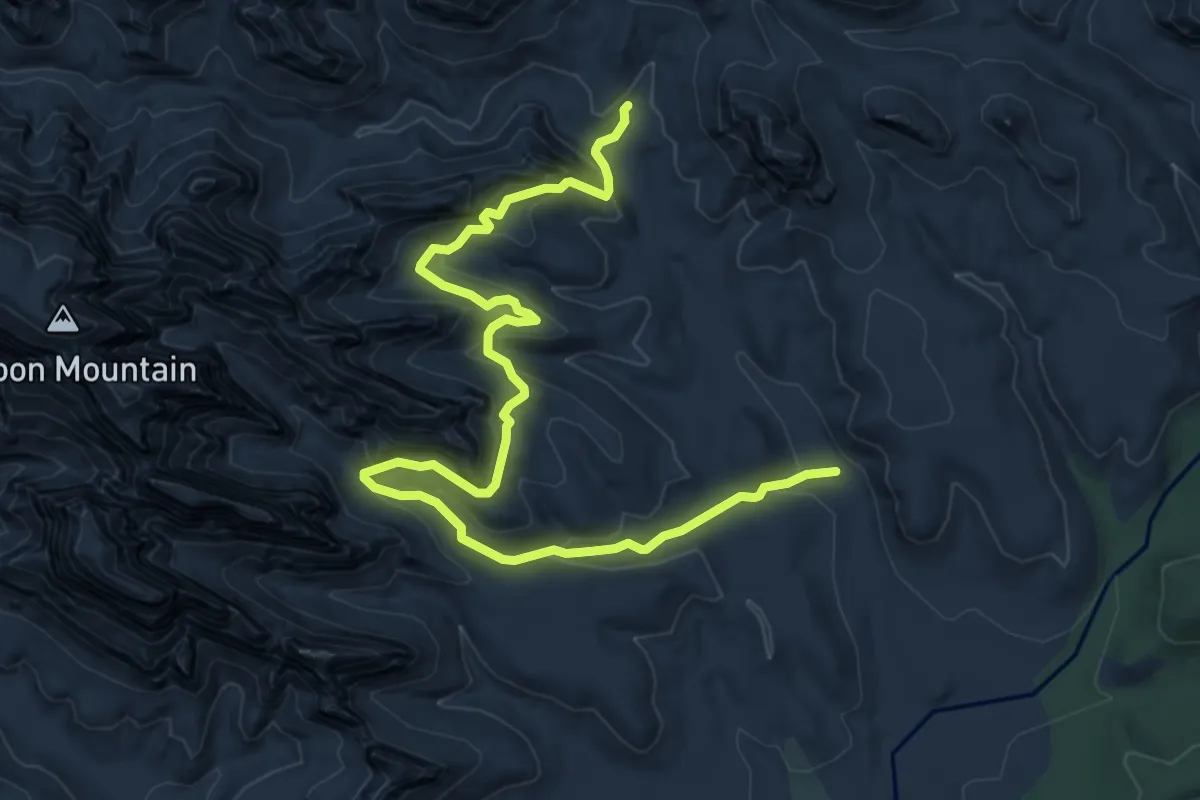
Medium · Trail
HS Canyon #50
10.3 km · ↑ 538 m · 3 h 36 min
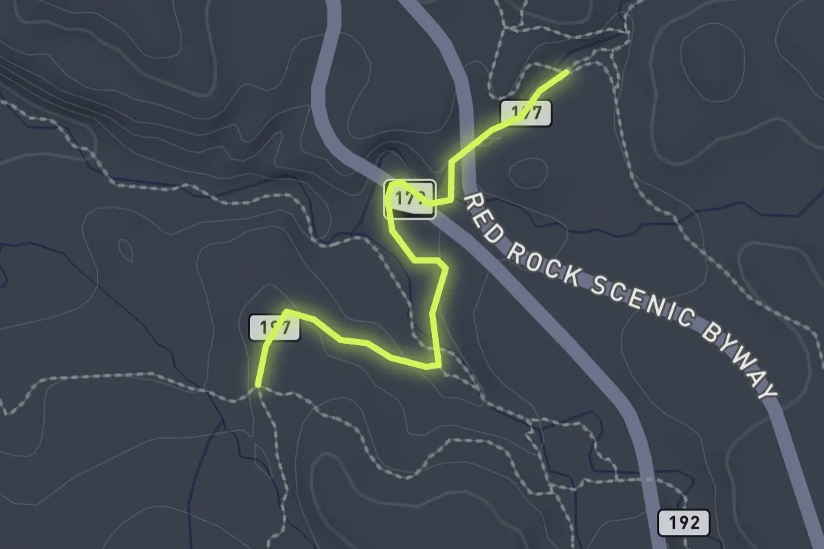
Easy · Trail
HT #197
2.4 km · ↑ 16 m · 36 min
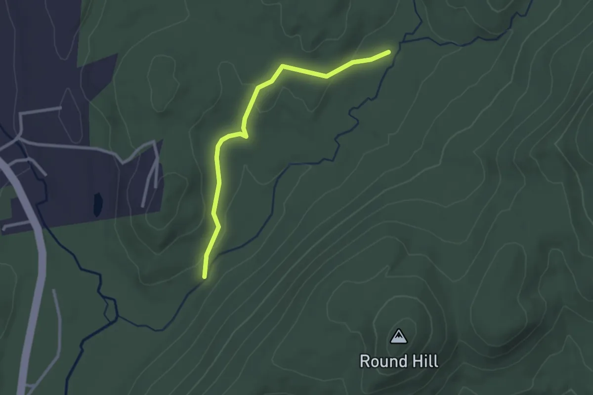
Easy · Trail
Hubbard Loop
2.7 km · ↑ 45 m · 44 min
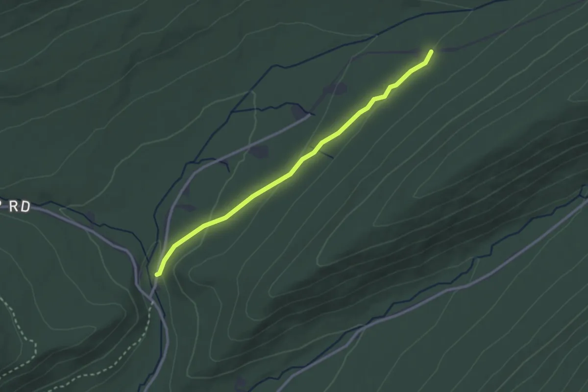
Easy · Trail
Hubler Gap Trail
3.0 km · ↑ 60 m · 50 min