Trails in United States
10,367 hiking trails, each with its route, climb, walking time and grade.
All trails, page 98 of 216
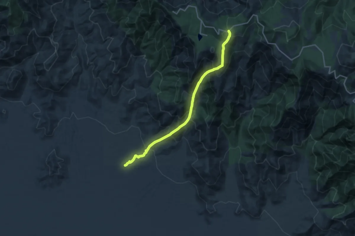
Demanding · Trail
Jesus Goudy Ridge Trail #298
15.9 km · ↑ 1754 m · 7 h 34 min
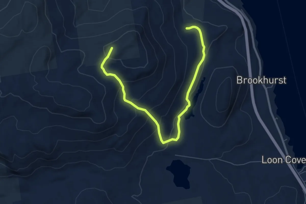
Medium · Trail
Jesus Valley - Beaver Pond Trail
8.1 km · ↑ 330 m · 2 h 37 min
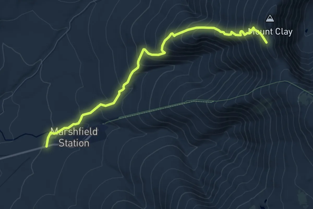
Demanding · Trail
Jewell Trail
10.4 km · ↑ 934 m · 4 h 29 min
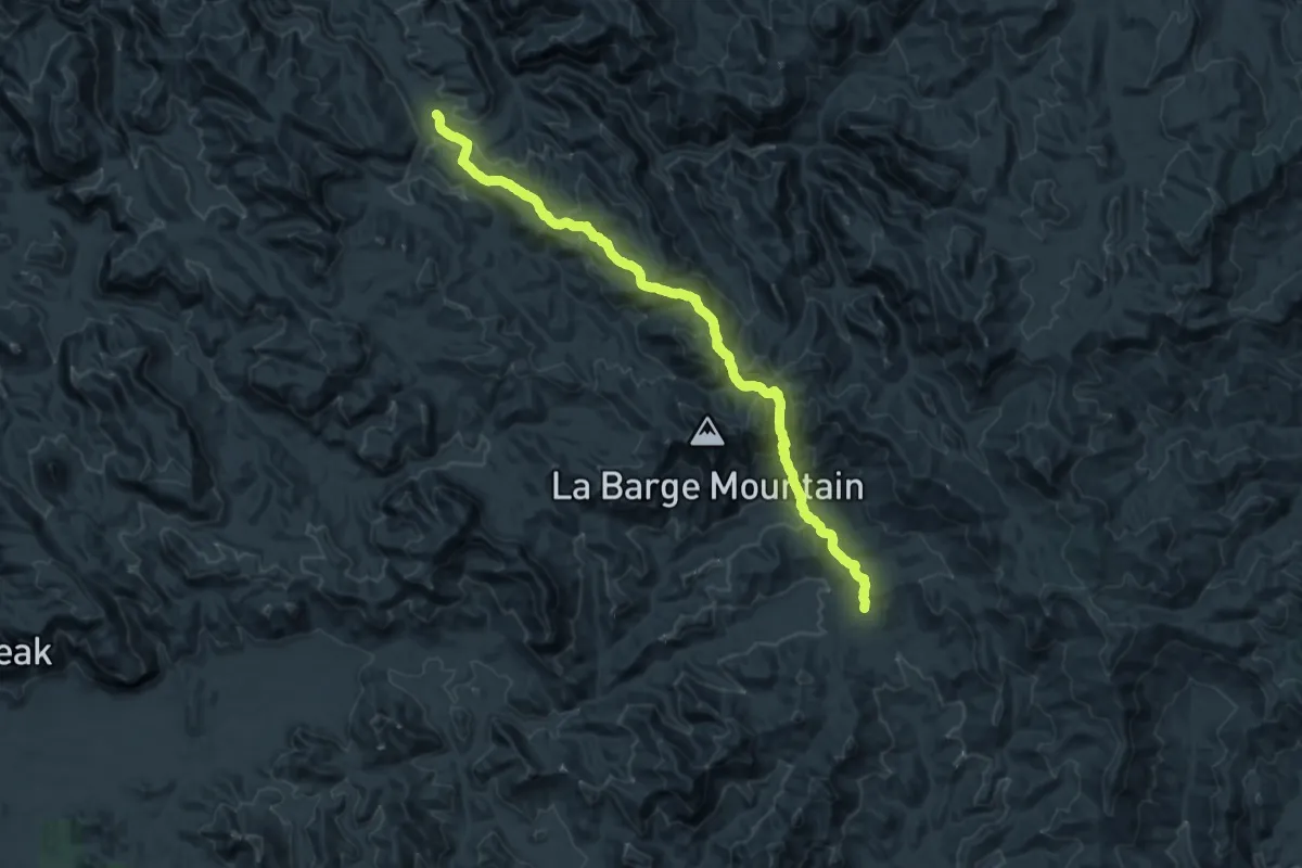
Medium · Trail
JF Trail
14.7 km · ↑ 682 m · 5 h 6 min
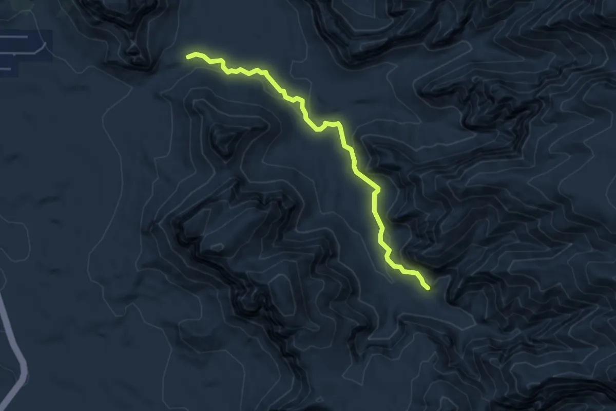
Easy · Trail
Jim Bryant #199
5.4 km · ↑ 187 m · 1 h 40 min
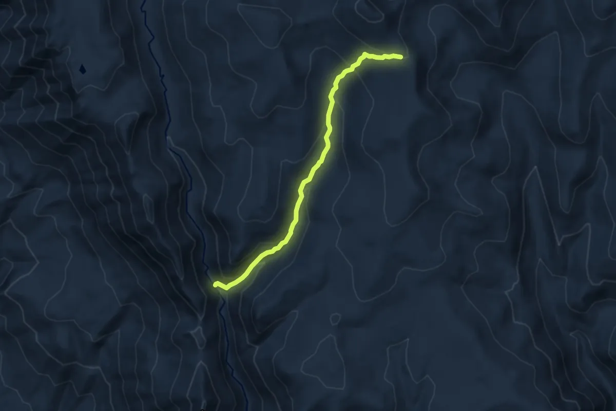
Medium · Trail
Jimmy Creek Trail
8.4 km · ↑ 538 m · 3 h 9 min
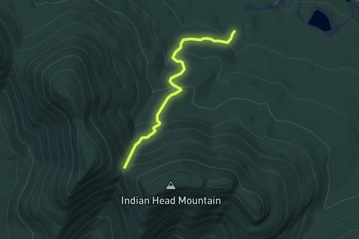
Easy · Trail
Jimmy Dolan Notch Trail
5.3 km · ↑ 312 m · 1 h 56 min
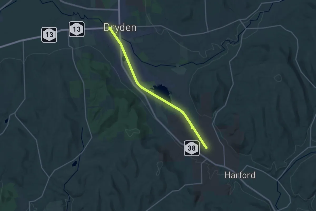
Medium · Trail
Jim Schug Trail
15.6 km · ↑ 41 m · 3 h 47 min
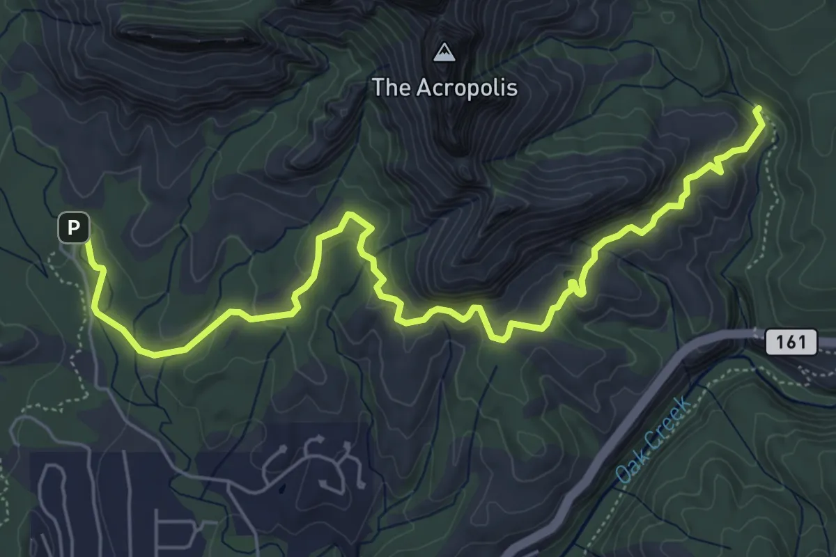
Medium · Trail
Jim Thompson #124
8.4 km · ↑ 229 m · 2 h 29 min
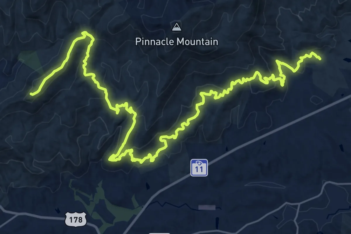
Demanding · Summit
Jocassee Gorges Passage Of The Palmetto Trail
33.8 km · ↑ 1203 m · 10 h 35 min
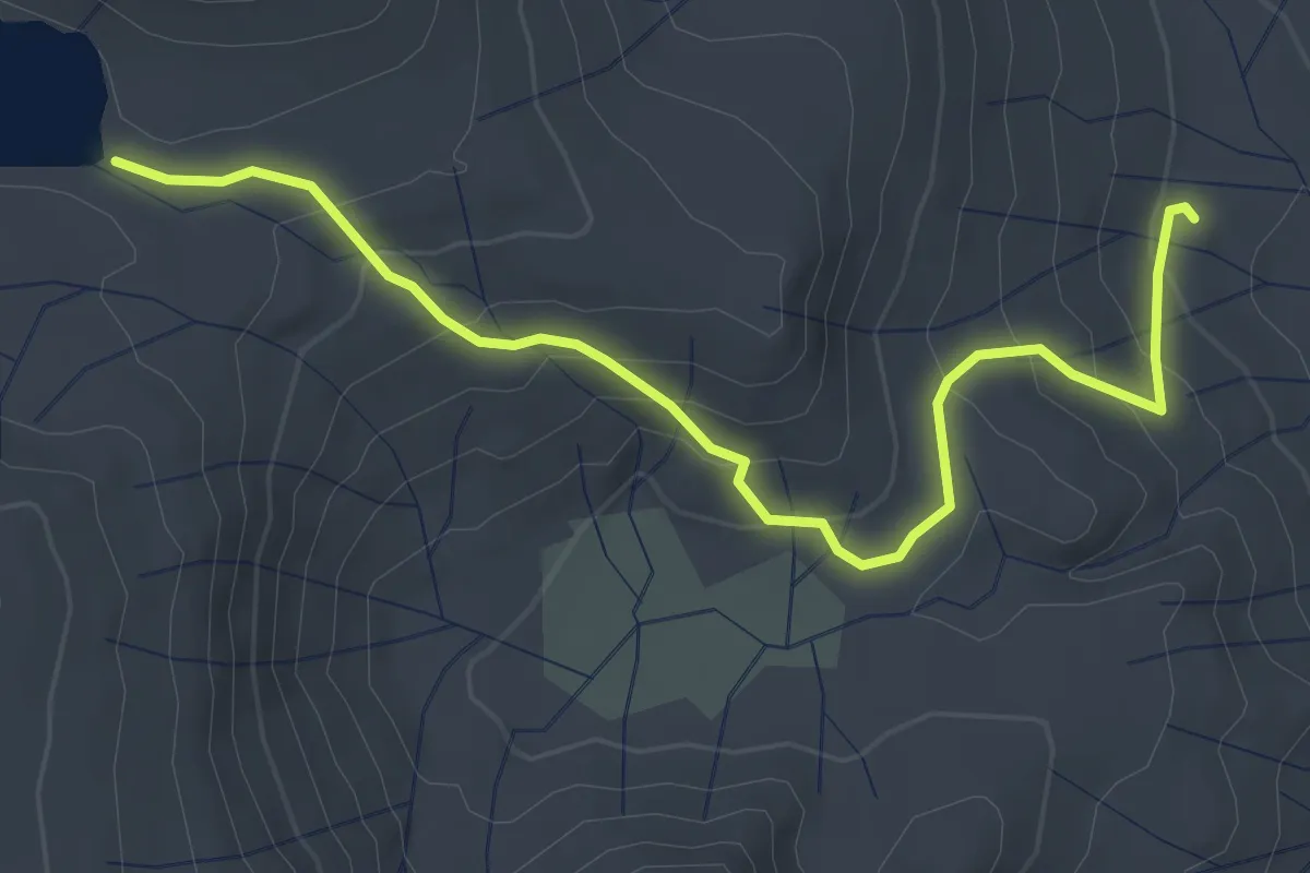
Easy · Trail
Joe Crane Lake Trail
4.1 km · ↑ 238 m · 1 h 29 min
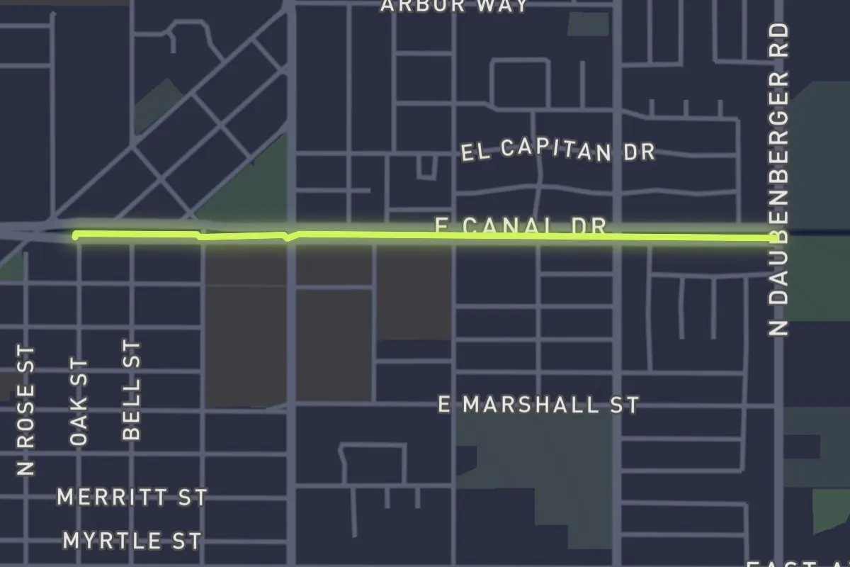
Easy · Trail
Joe Gallison Pathway
3.6 km · ↑ 0 m · 50 min
Easy · Trail
Joe Michael Memorial Trail
2.6 km · ↑ 7 m · 40 min
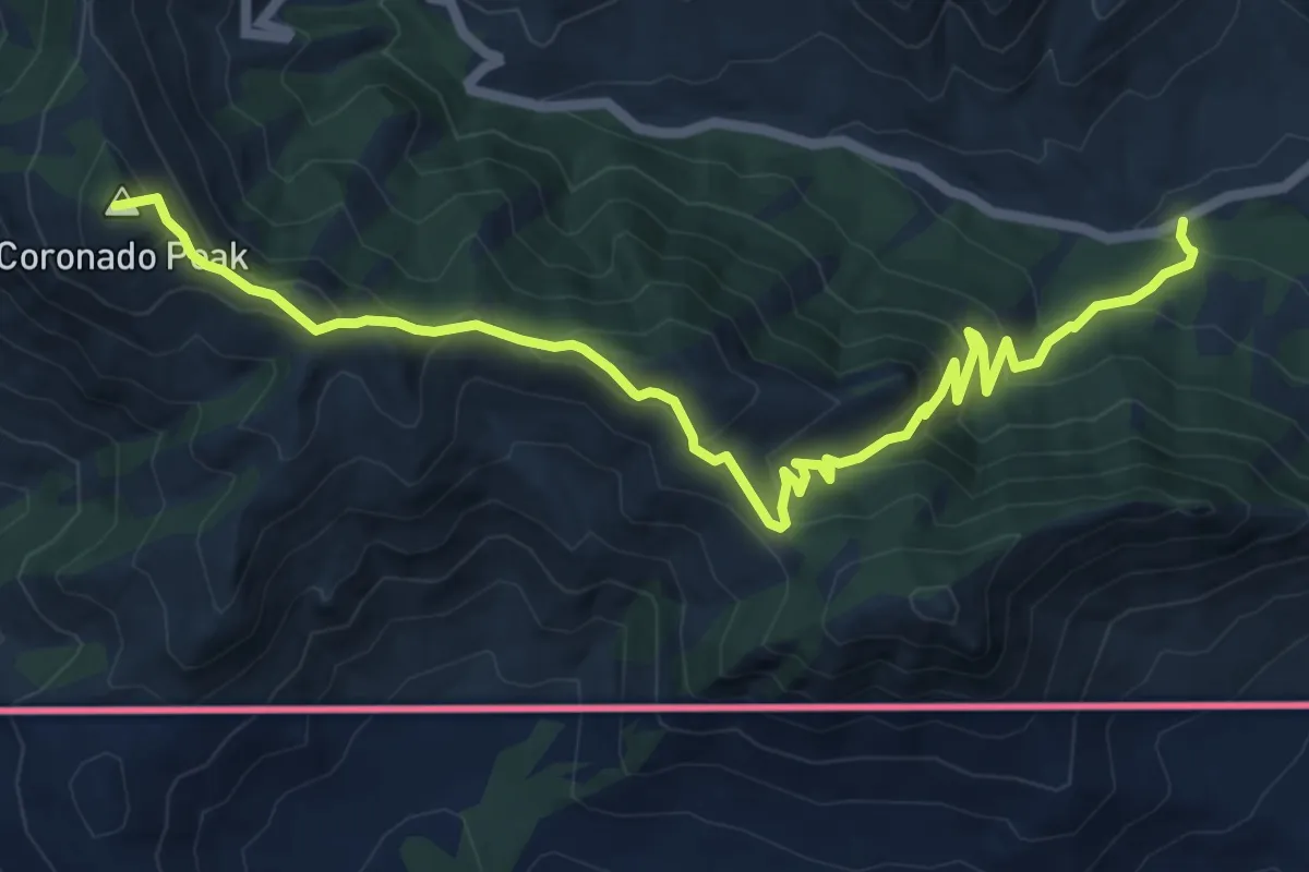
Medium · Summit
Joe's Canyon Trail
9.3 km · ↑ 529 m · 3 h 20 min
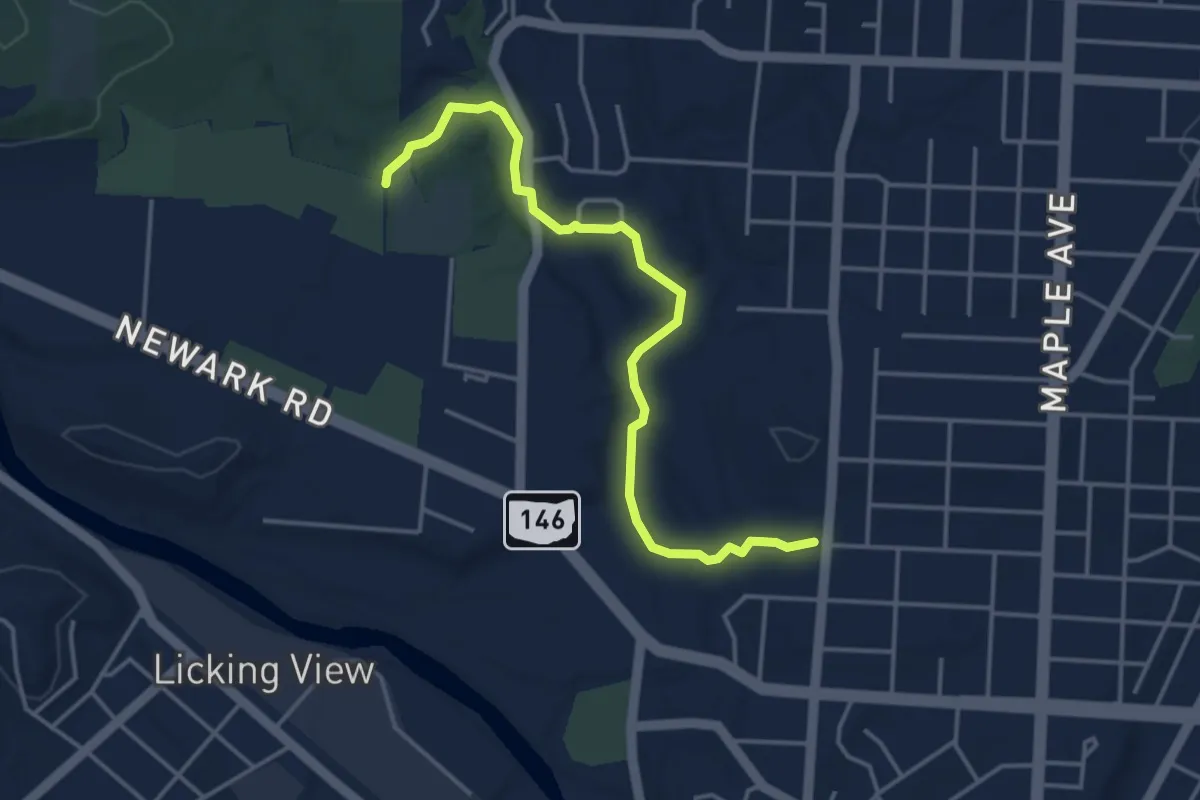
Easy · Trail
Joe′s Run Recreational Trail
4.6 km · ↑ 60 m · 1 h 13 min
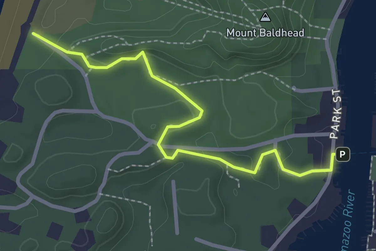
Easy · Trail
John A. Woollam Nature Trail
2.6 km · ↑ 74 m · 46 min
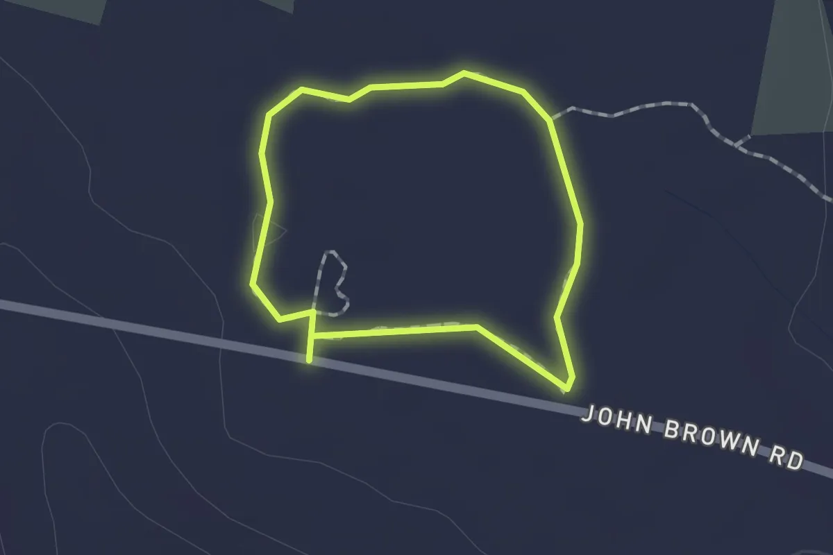
Easy · Trail
John Brown Trail
1.2 km · ↑ 0 m · 18 min
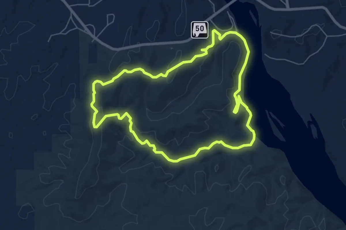
Easy · Summit
John B Scott Forever Wild Trail
6.9 km · ↑ 213 m · 2 h 11 min
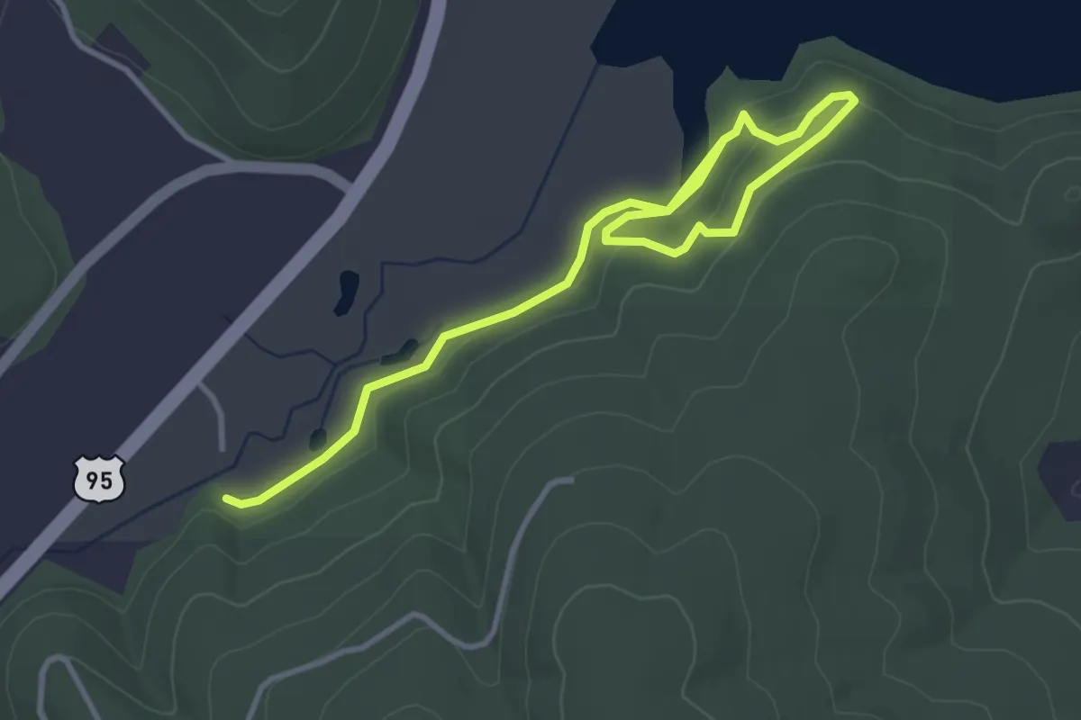
Easy · Trail
John C. Pointner Memorial Wildlife Sanctuary Trail
2.3 km · ↑ 48 m · 40 min
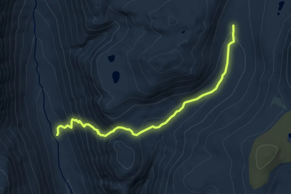
Medium · Trail
John Dean Cutoff
8.6 km · ↑ 510 m · 3 h 8 min
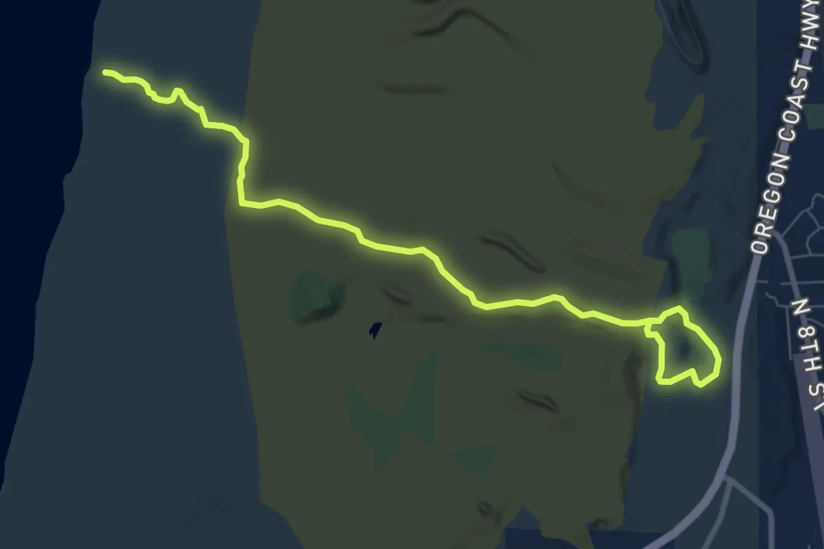
Medium · Trail
John Dellenback Dunes Trail
9.1 km · ↑ 136 m · 2 h 26 min
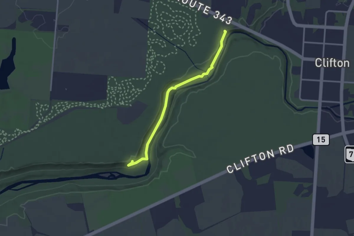
Easy · Trail
John L. Rich Trail
2.8 km · ↑ 43 m · 45 min
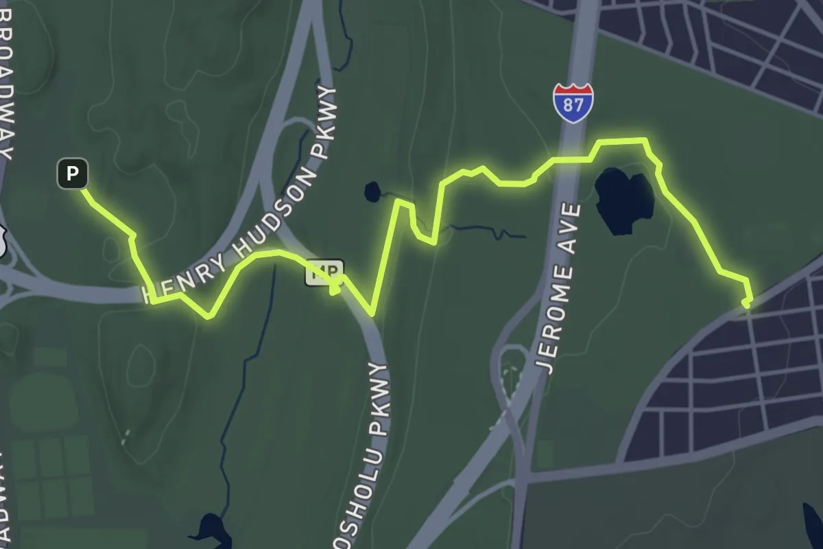
Easy · Trail
John Muir Nature Trail
6.1 km · ↑ 73 m · 1 h 36 min
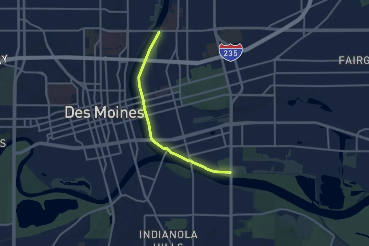
Easy · Trail
John Pat Dorrian Trail
7.4 km · ↑ 0 m · 1 h 45 min
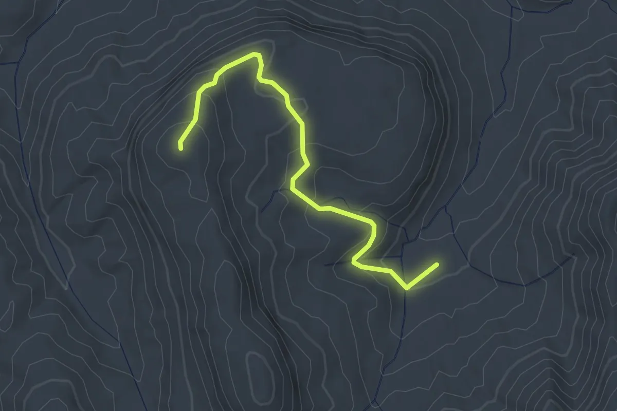
Easy · Summit
John Rock Trail
3.3 km · ↑ 181 m · 1 h 10 min
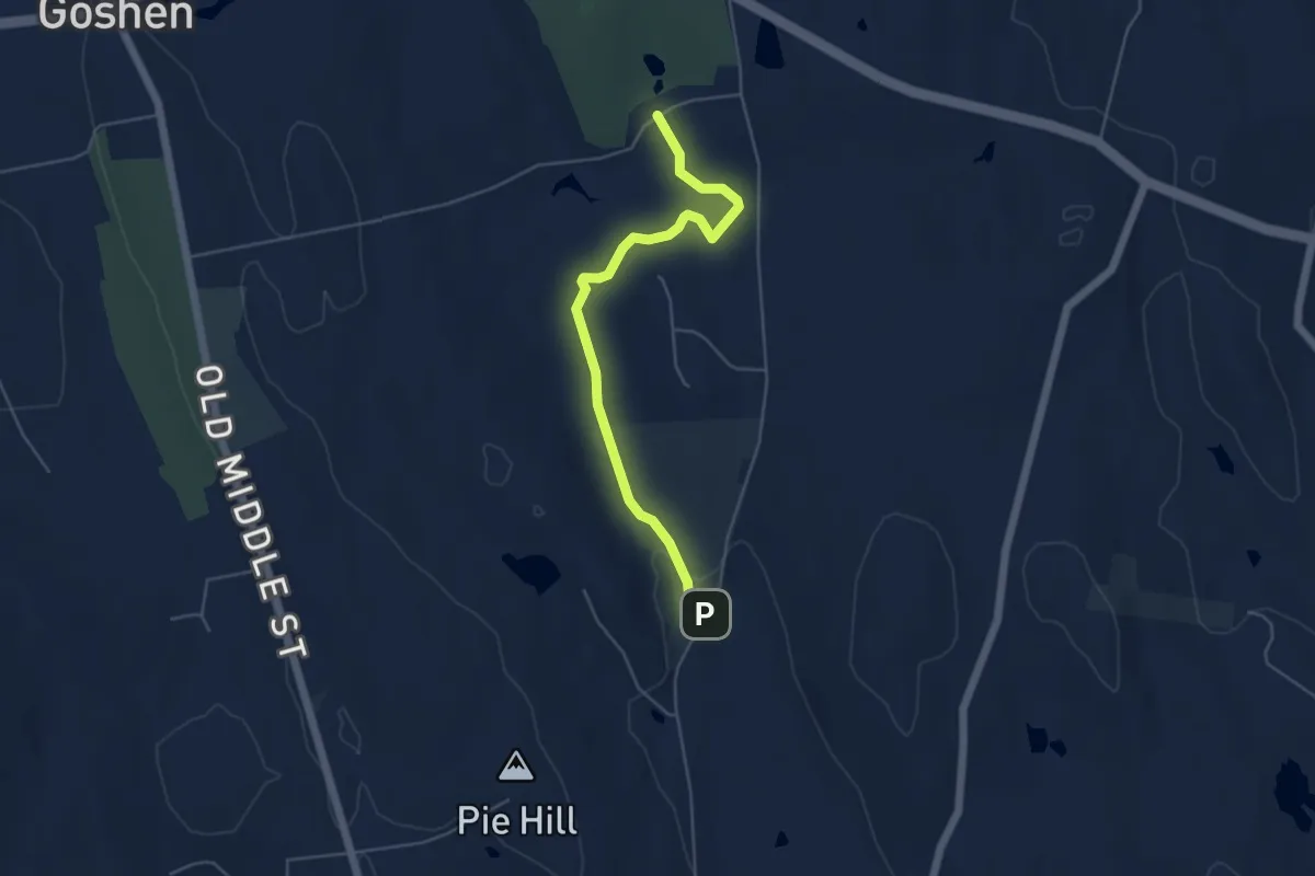
Easy · Trail
John Ross Trail
5.6 km · ↑ 25 m · 1 h 22 min
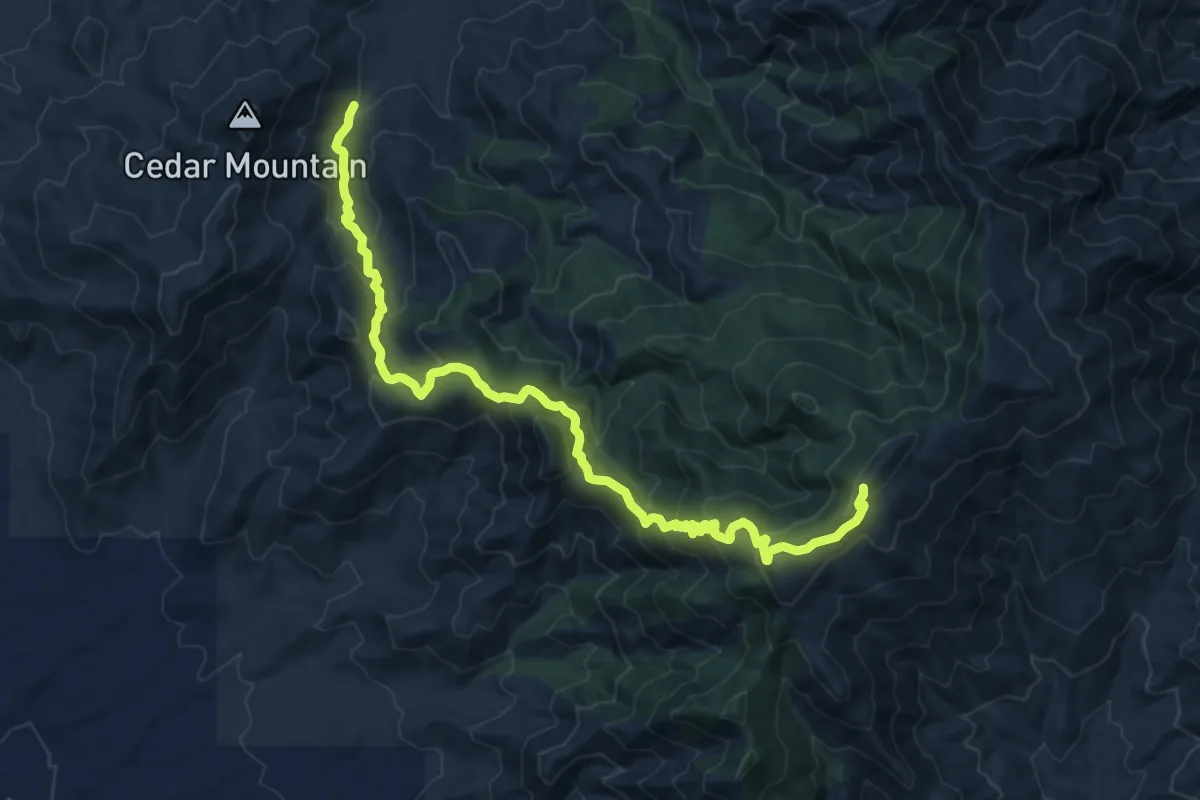
Demanding · Trail
John's Canyon Trail #313
16.7 km · ↑ 977 m · 6 h 3 min
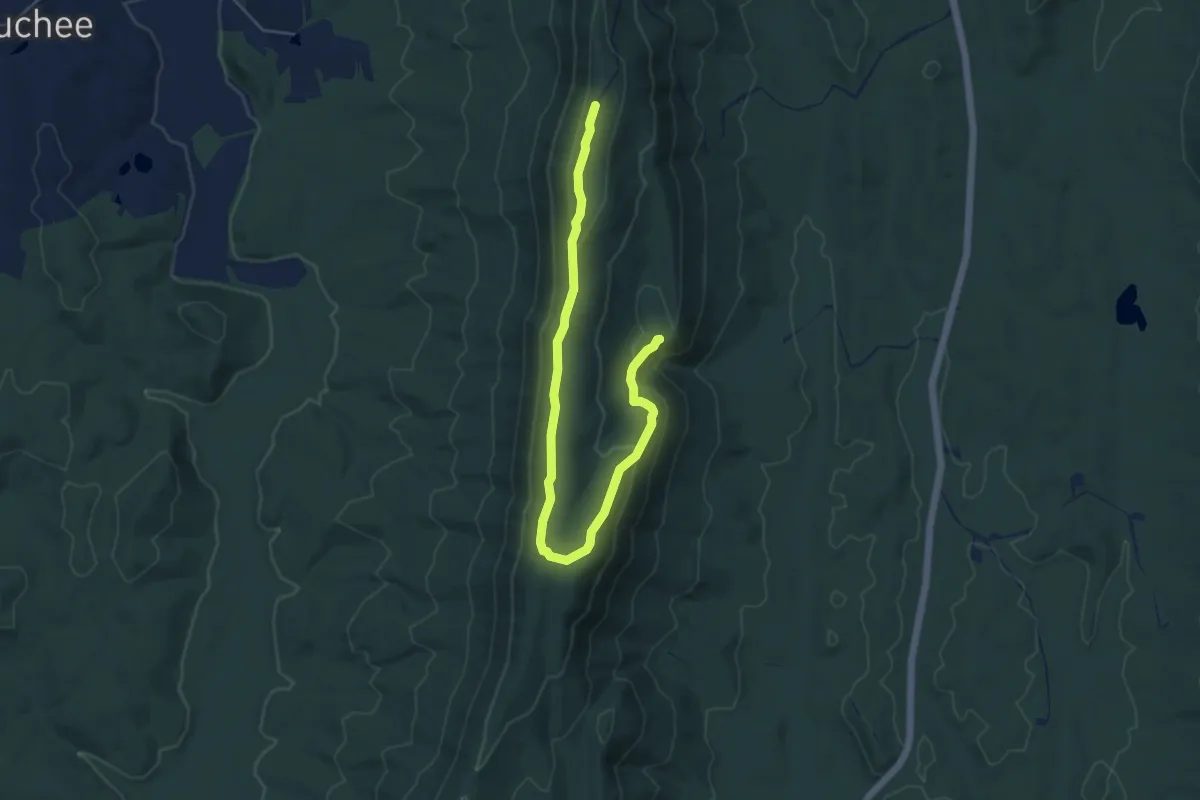
Easy · Trail
Johns Mountain Trail
7.1 km · ↑ 166 m · 2 h 2 min
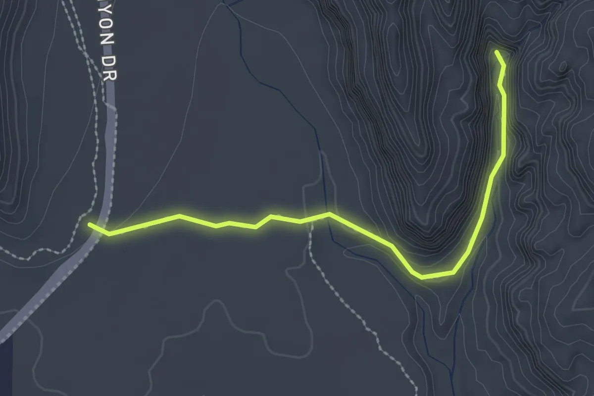
Easy · Trail
Johnson Canyon
2.8 km · ↑ 72 m · 49 min
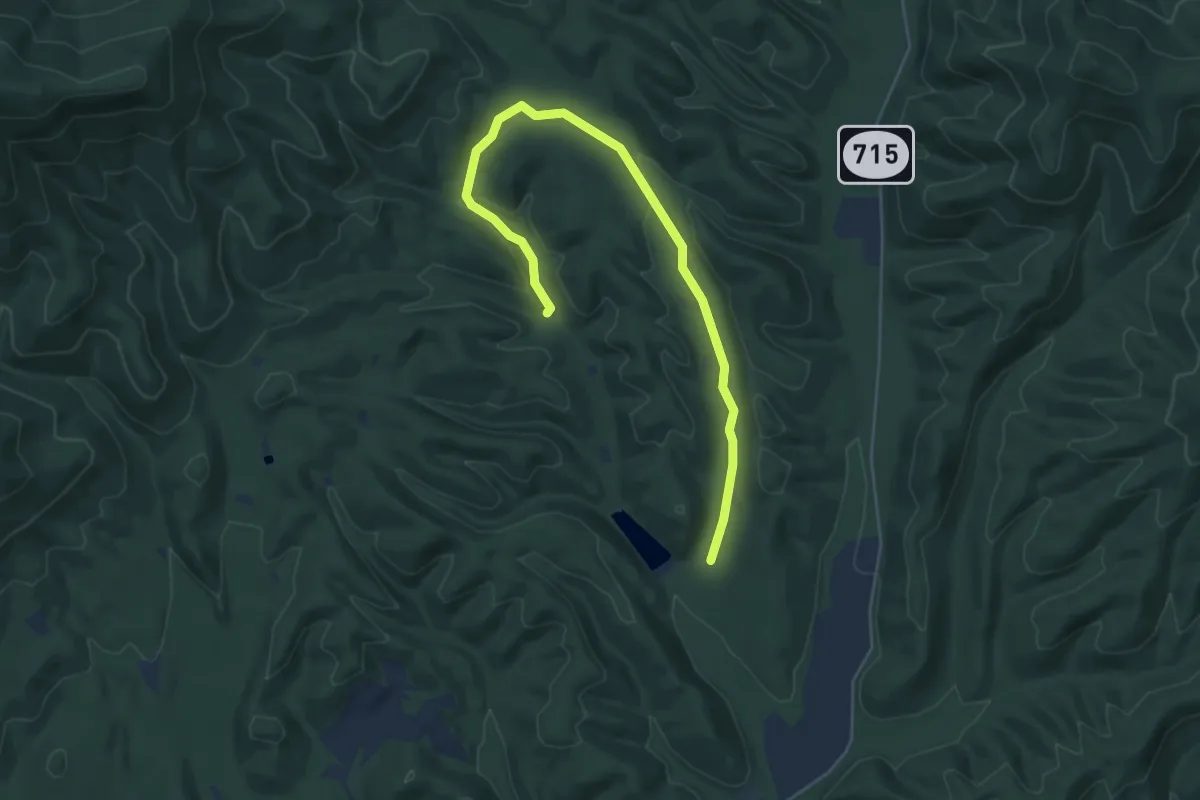
Easy · Trail
Johnson Draft Trail
6.6 km · ↑ 131 m · 1 h 51 min
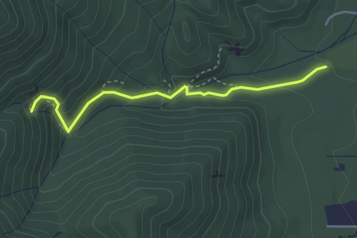
Demanding · Trail
Johnson Falls Trail
3.0 km · ↑ 188 m · 1 h 7 min
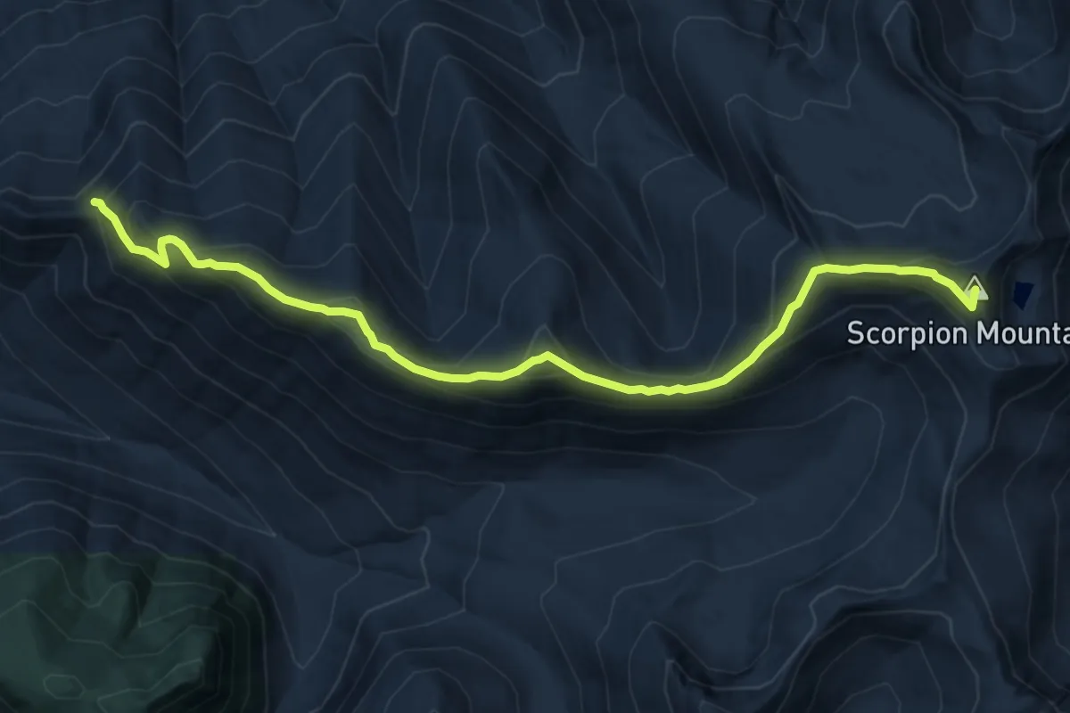
Demanding · Summit
Johnson Ridge Trail
12.0 km · ↑ 843 m · 4 h 40 min
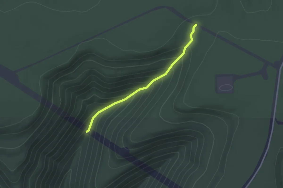
Easy · Trail
Johnson Run Trail
2.4 km · ↑ 198 m · 1 h
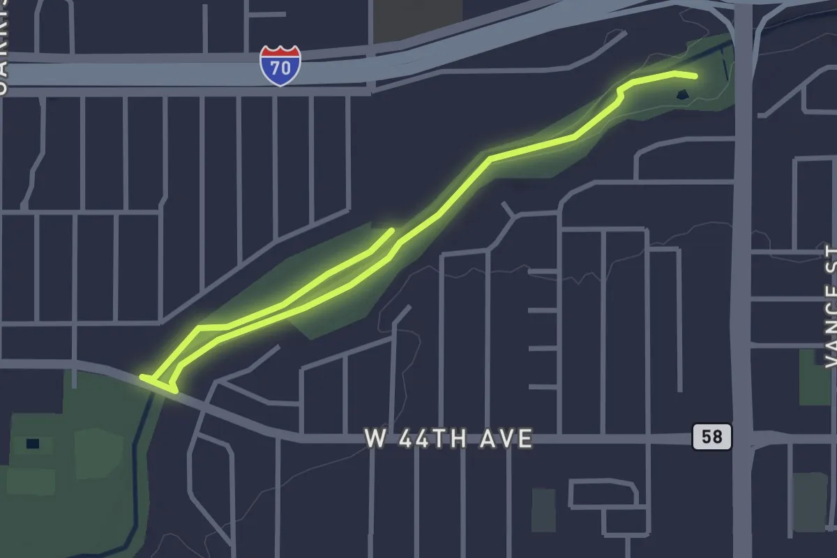
Easy · Trail
Johnson to Anderson Park Loop, Clear Creek
4.2 km · ↑ 13 m · 1 h 1 min
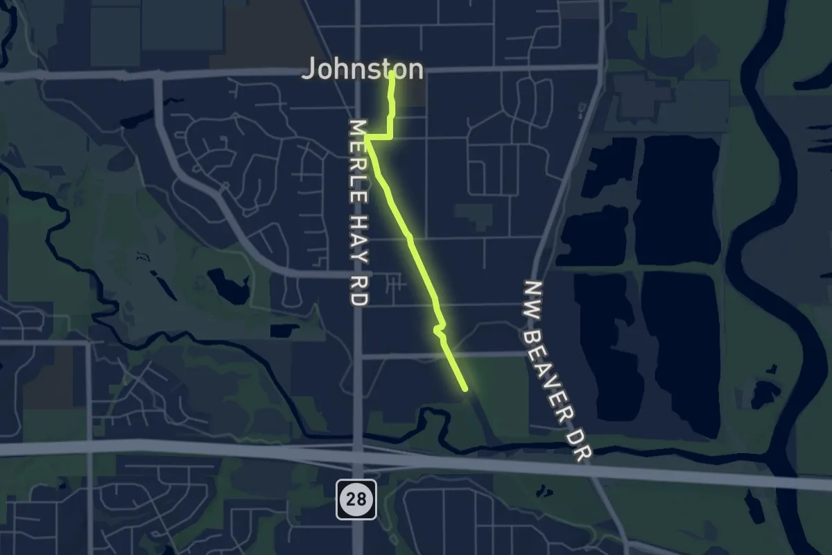
Easy · Trail
Johnston Interurban Trail
4.4 km · ↑ 8 m · 1 h 4 min
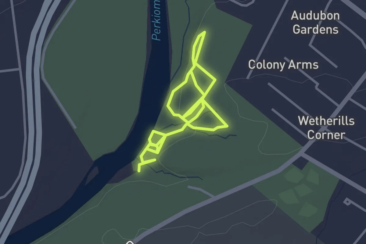
Easy · Trail
John's Trail
5.1 km · ↑ 195 m · 1 h 37 min
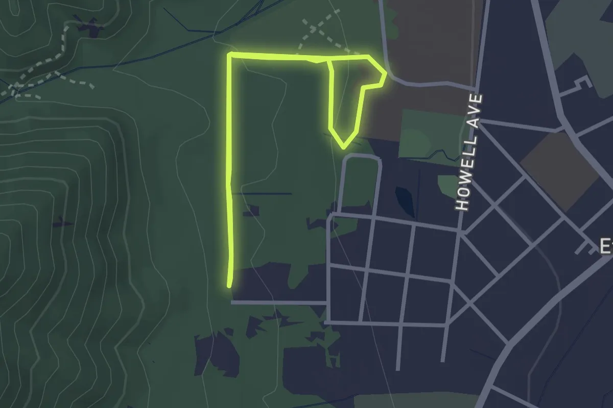
Easy · Trail
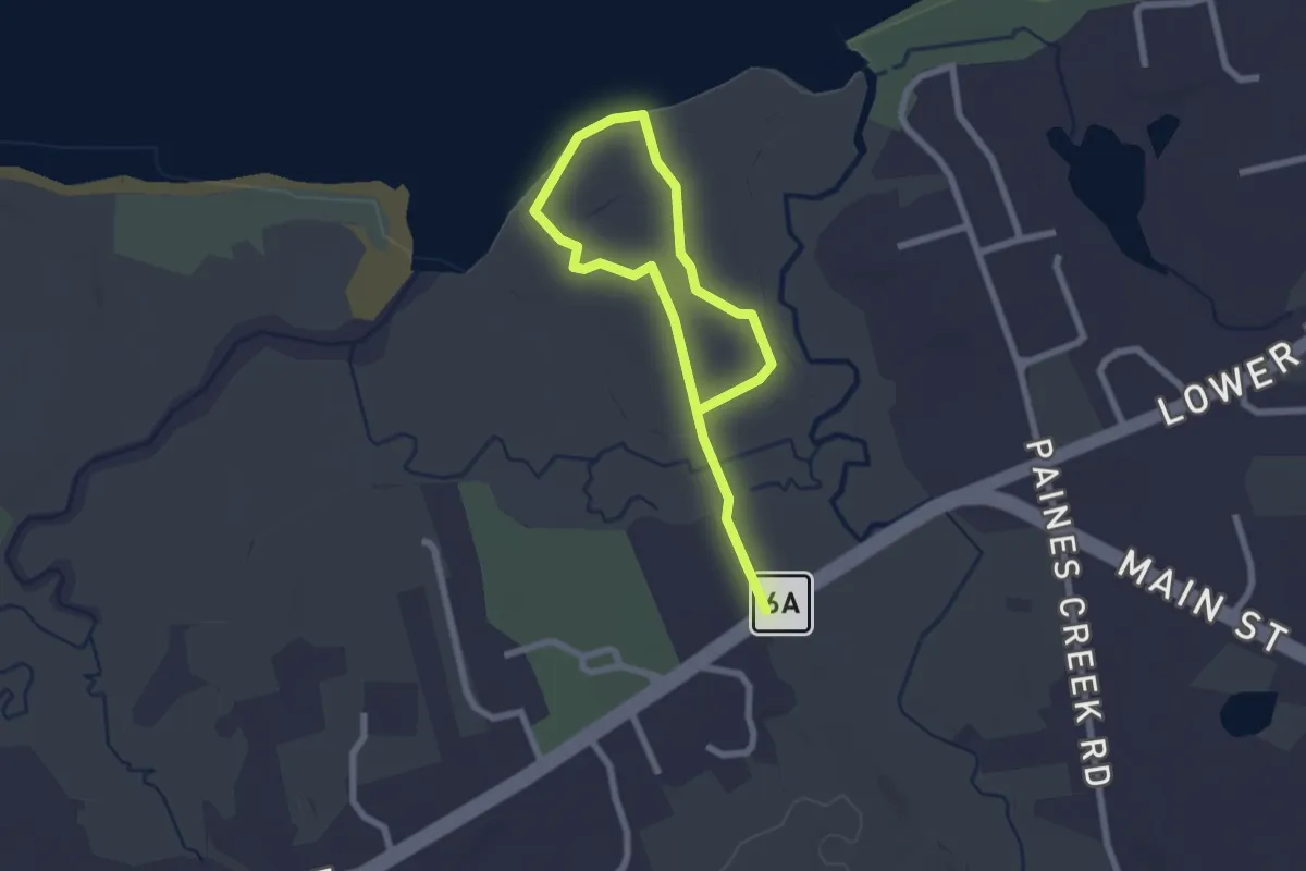
John Whelan Loop
2.7 km · ↑ 38 m · 45 min
Easy · Trail
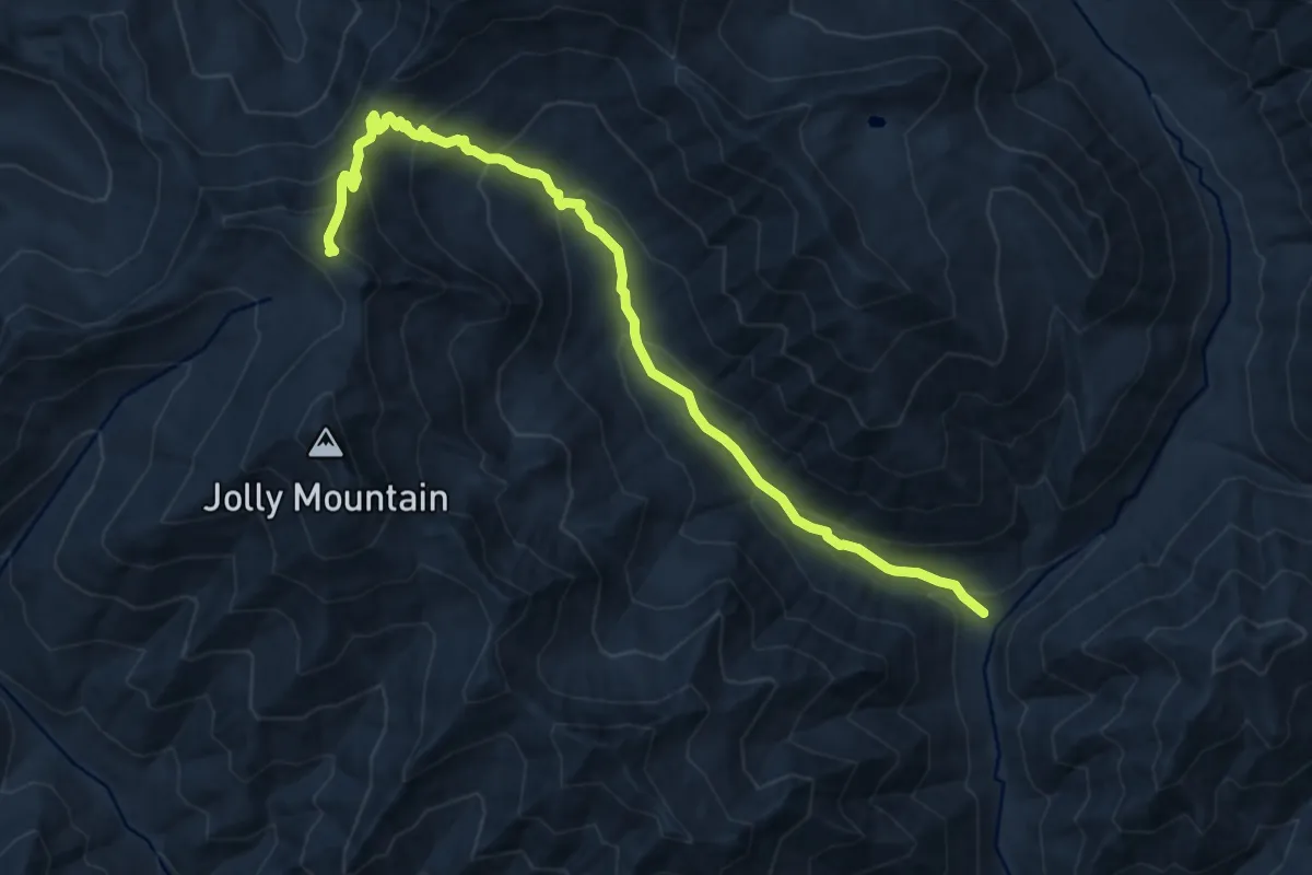
John Wing Trail
3.5 km · ↑ 19 m · 52 min
Demanding · Trail
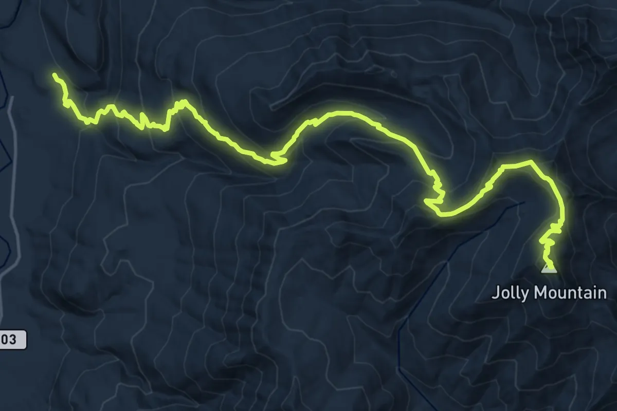
Jolly Creek Trail
10.1 km · ↑ 797 m · 4 h 6 min
Demanding · Summit
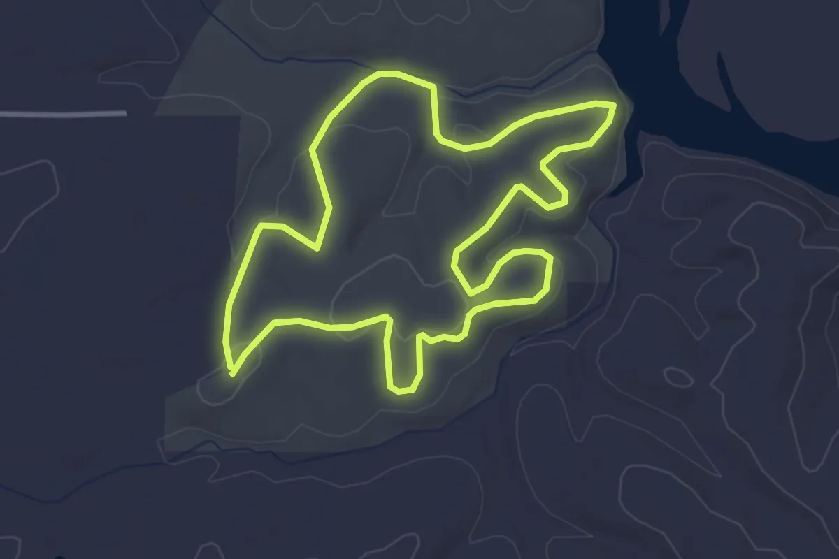
Jolly Mountain Trail
20.1 km · ↑ 1361 m · 7 h 42 min
Easy · Trail
Jones Branch Loop Trail
3.9 km · ↑ 58 m · 1 h 7 min
Medium · Trail
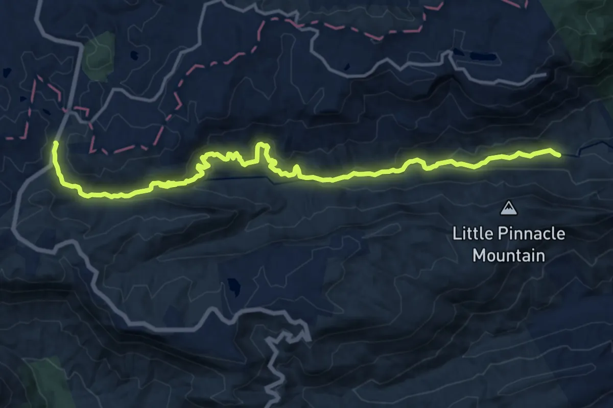
Jones Gap Trail
17.4 km · ↑ 655 m · 5 h 31 min
Medium · Summit
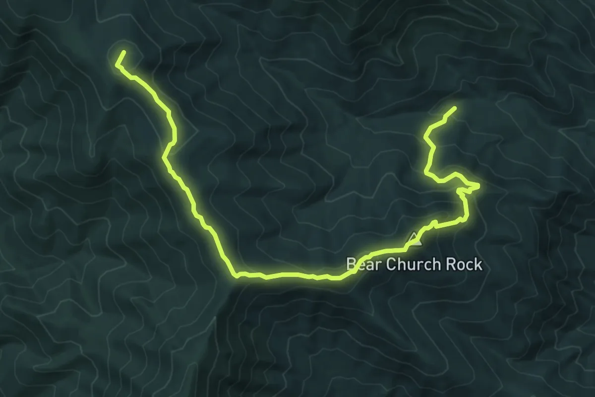
Jones Mountain Trail
10.8 km · ↑ 596 m · 3 h 50 min
Medium · Summit
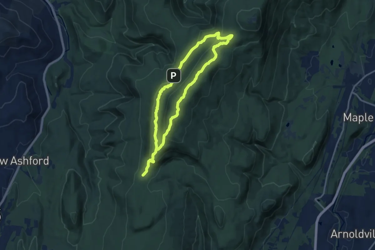
Jones Nose to Summit
10.3 km · ↑ 429 m · 3 h 30 min
Easy · Summit
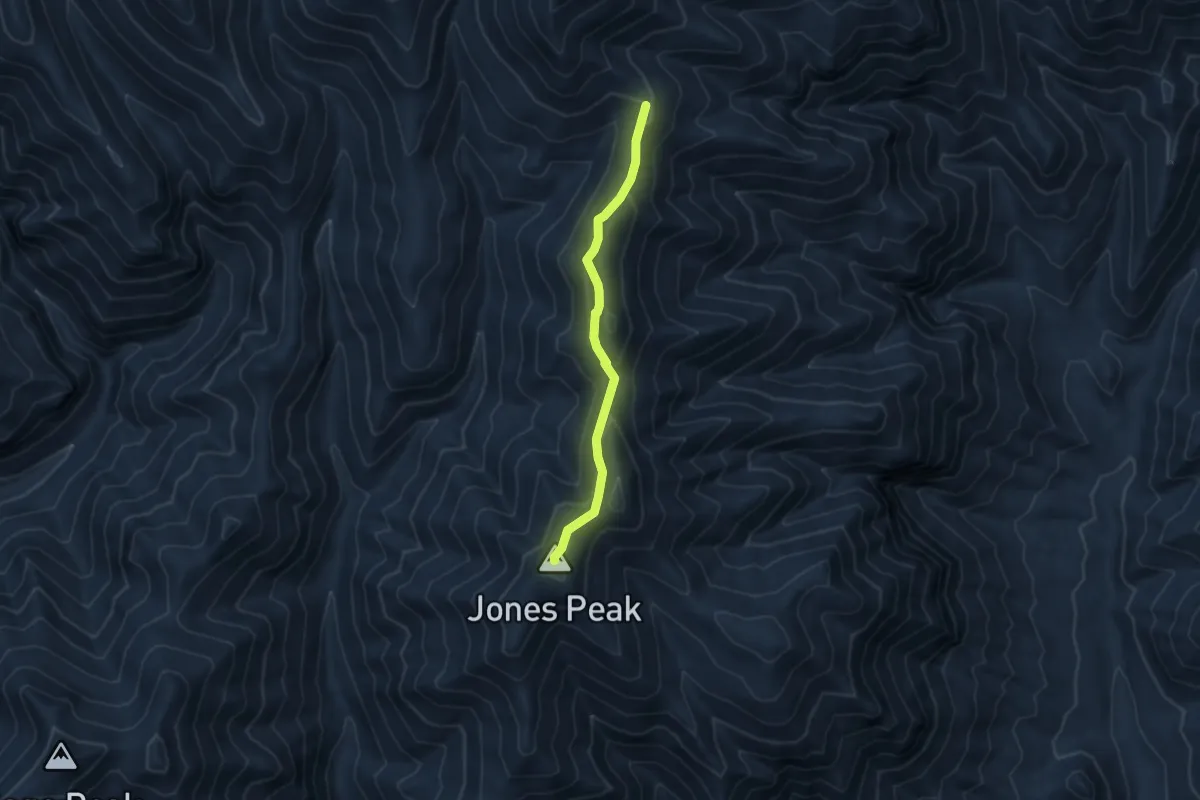
Jones Ridge Trail #365
4.3 km · ↑ 230 m · 1 h 31 min
Medium · Trail
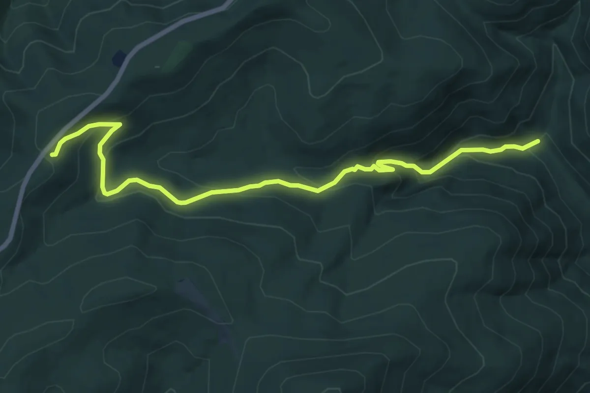
Jones Run Trail
7.6 km · ↑ 408 m · 2 h 41 min
Easy · Trail
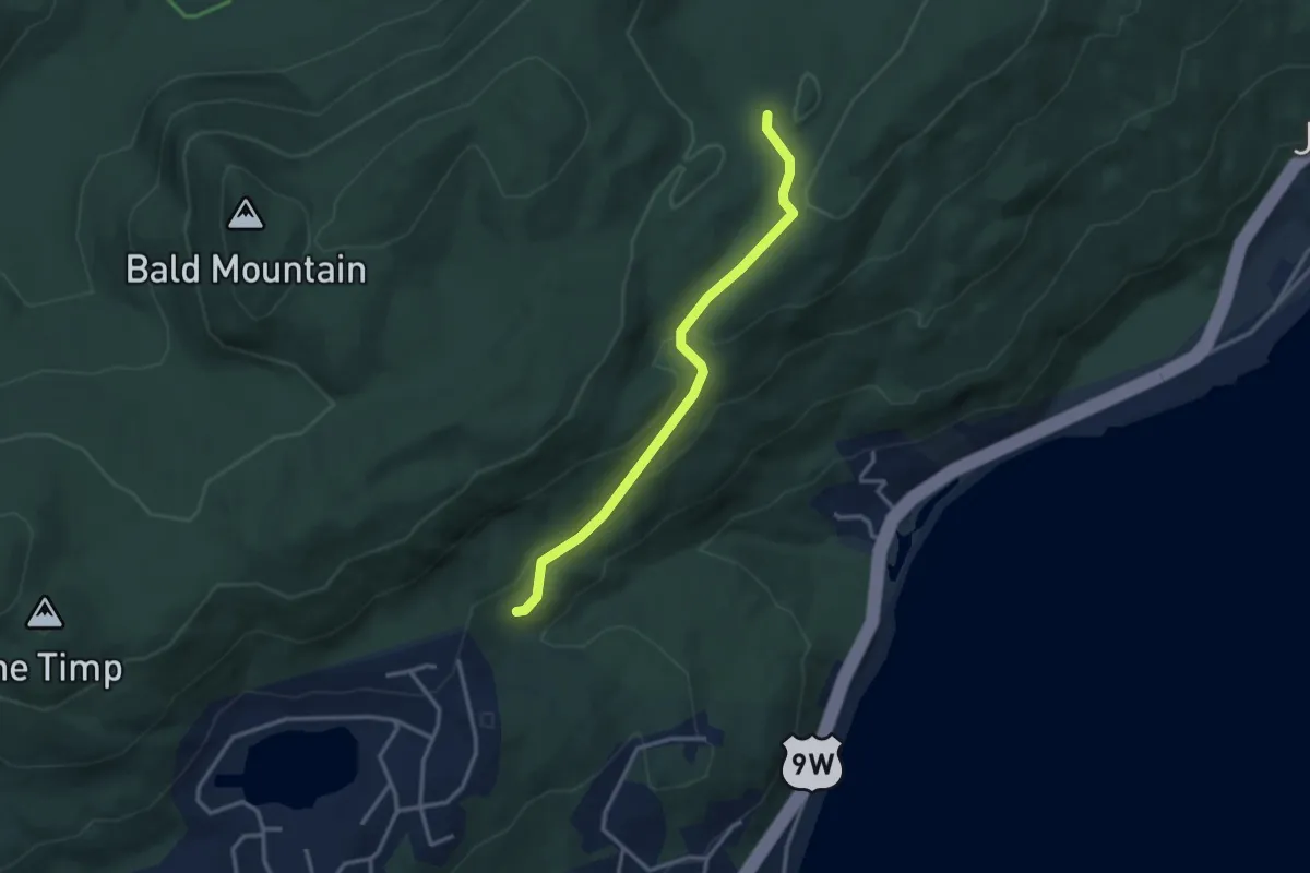
Jones Trail
3.3 km · ↑ 124 m · 1 h 2 min
Easy · Trail
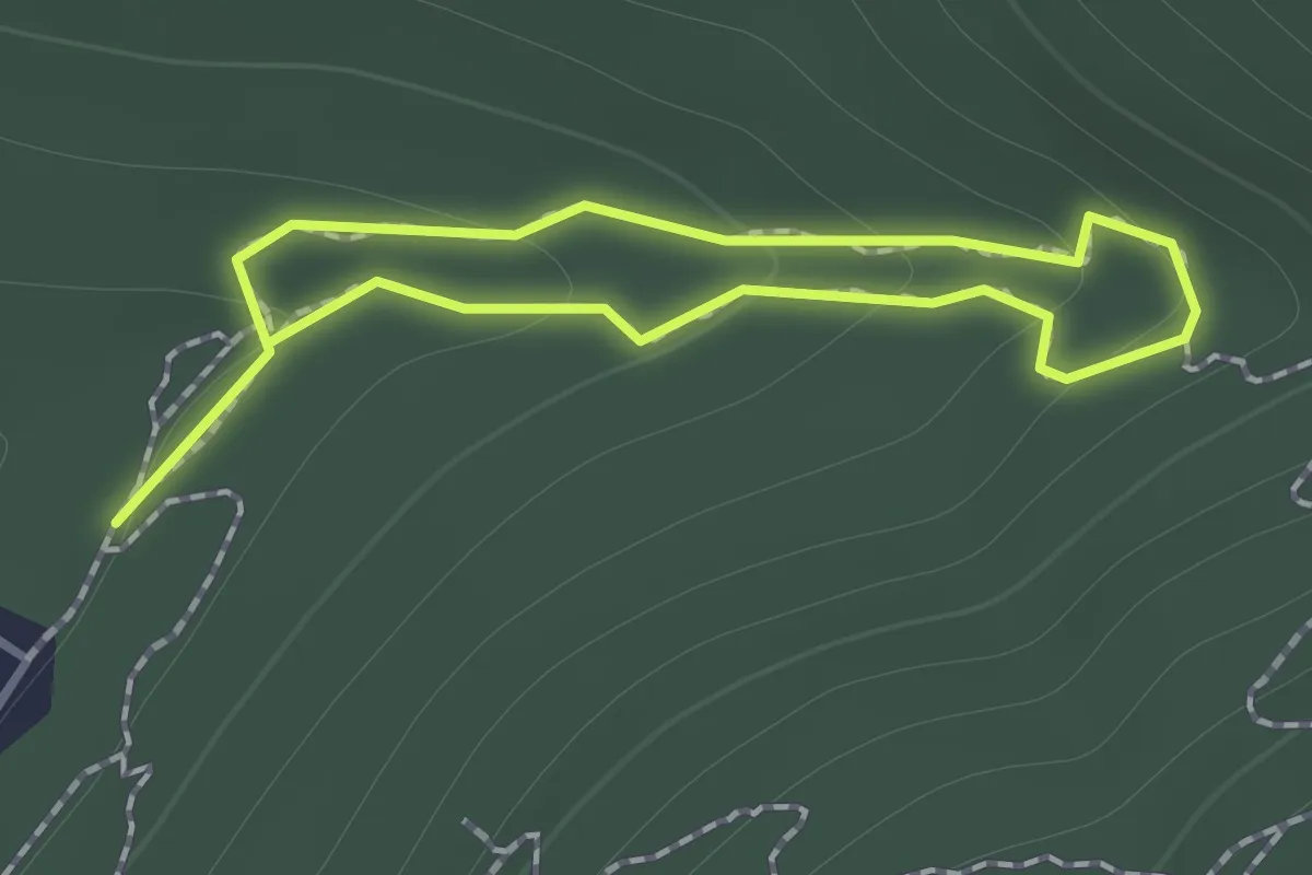
Jones Valley Loop Trail
1.0 km · ↑ 50 m · 22 min