Easy · Trail · Out & back
Sentier des Maquisards
Map © OpenFreeMap © OpenMapTiles © OpenStreetMap · Trail © OpenStreetMap contributors
- Distance
- 4.0km
- Climb
- 156m
- Walking time
- 1 h 17 min
- Highest point
- 475m
Elevation
↑ 156 m in all
About the trail
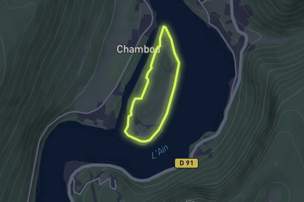
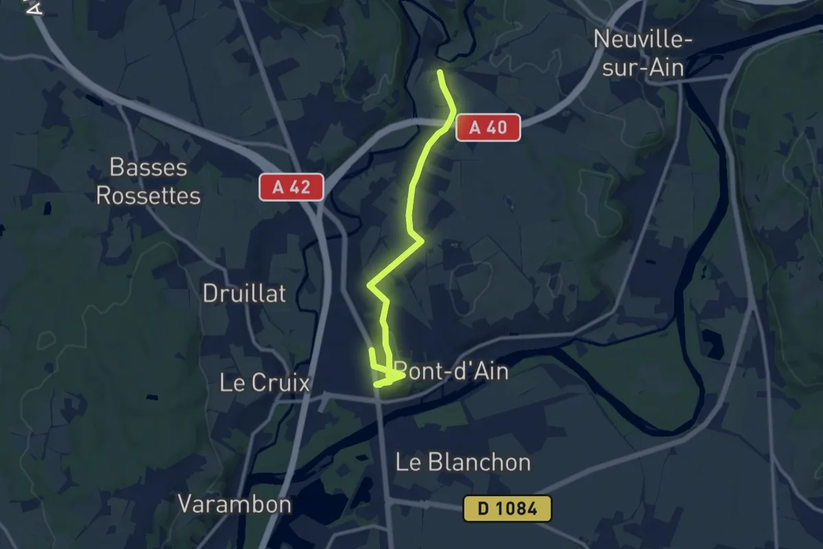
Sentier des Maquisards is a easy trail trail of 4.0 km there and back. You climb 156 m in all and reach 475 m at the highest point. Most hikers need about 1 h 17 min without long breaks.
Getting there
Park at the trailhead.
46.07117° N, 5.48410° E
Open in Apple Maps