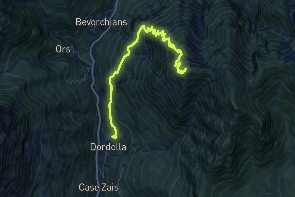
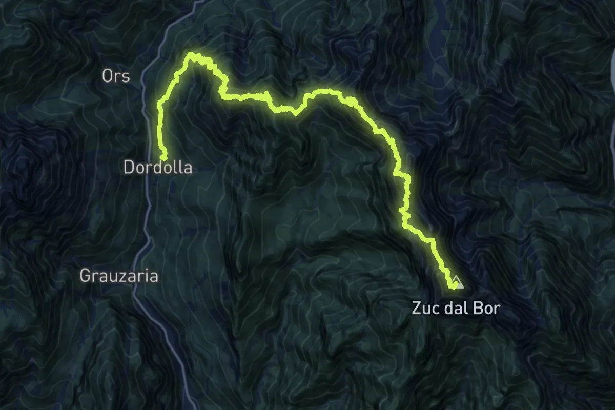
Demanding · Trail · Out & back
Strada Provinciale Val Aupa Ponte Rio Fontanaz (quota 619 m) – Plan di Muele Bivio Sentiero 434 (quota 1018 m)
From Strada Provinciale Val Aupa Ponte Rio Fontanaz (quota 619 m) to Plan di Muele Bivio Sentiero 434 (quota 1018 m) and back.
Map © OpenFreeMap © OpenMapTiles © OpenStreetMap · Trail © OpenStreetMap contributors
- Distance
- 15.8km
- Climb
- 1522m
- Walking time
- 7 h 2 min
- Highest point
- 1394m
Elevation
↑ 1522 m in all
About the trail
Strada Provinciale Val Aupa Ponte Rio Fontanaz (quota 619 m) – Plan di Muele Bivio Sentiero 434 (quota 1018 m) is a demanding trail trail of 15.8 km there and back. You climb 1522 m in all and reach 1394 m at the highest point. Most hikers need about 7 h 2 min without long breaks.
Getting there
Park at Strada Provinciale Val Aupa Ponte Rio Fontanaz (quota 619 m).
46.47884° N, 13.18946° E
Open in Apple Maps