Trails near Canberra
25 hikes starting within 15 km, nearest first.
Nearest first
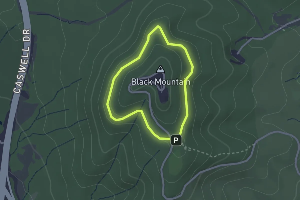
Easy · Trail
Forest Loop Walk
2.1 km · ↑ 34 m · 36 min · 2 km away
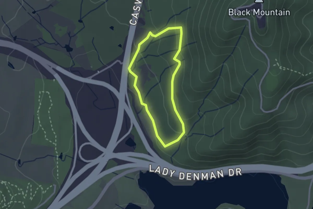
Easy · Trail
Black Mountain Woodland Walk
2.2 km · ↑ 75 m · 44 min · 2 km away
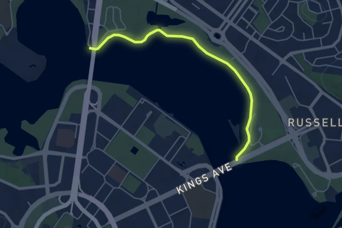
Easy · Trail
RG Menzies Walk
5.1 km · ↑ 149 m · 1 h 32 min · 2 km away
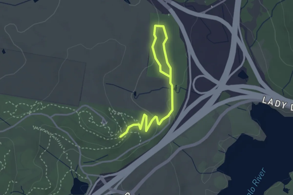
Easy · Trail
Cork Oaks Trail
4.0 km · ↑ 89 m · 1 h 8 min · 2 km away
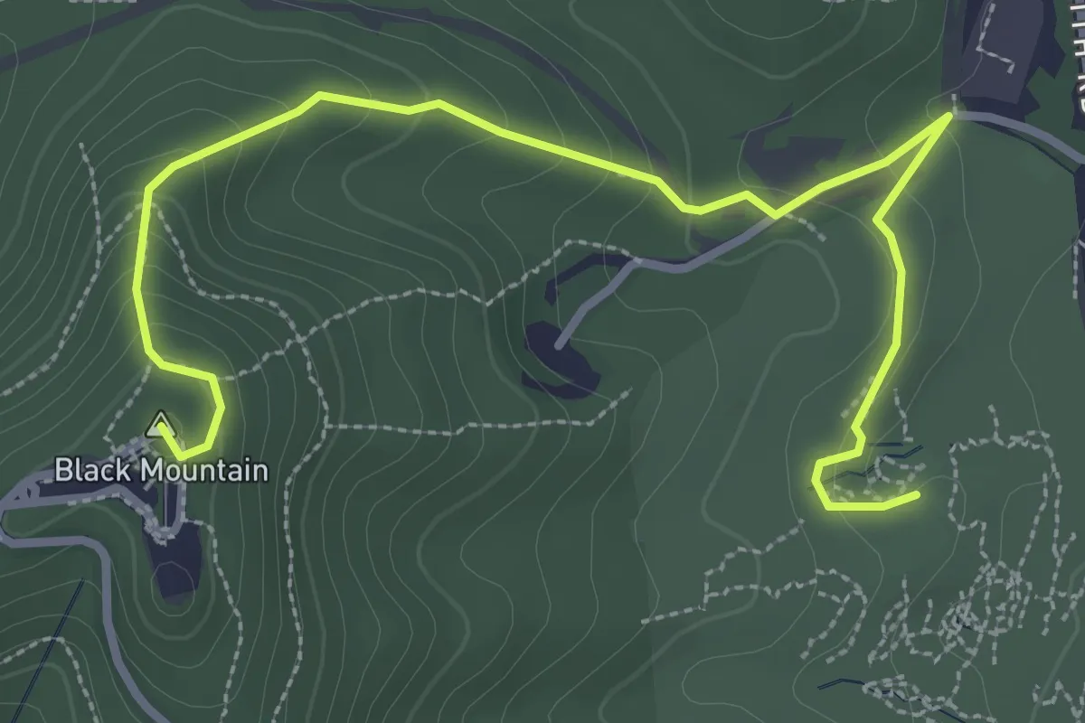
Easy · Summit
Black Mountain Summit Walk
4.5 km · ↑ 239 m · 1 h 35 min · 3 km away
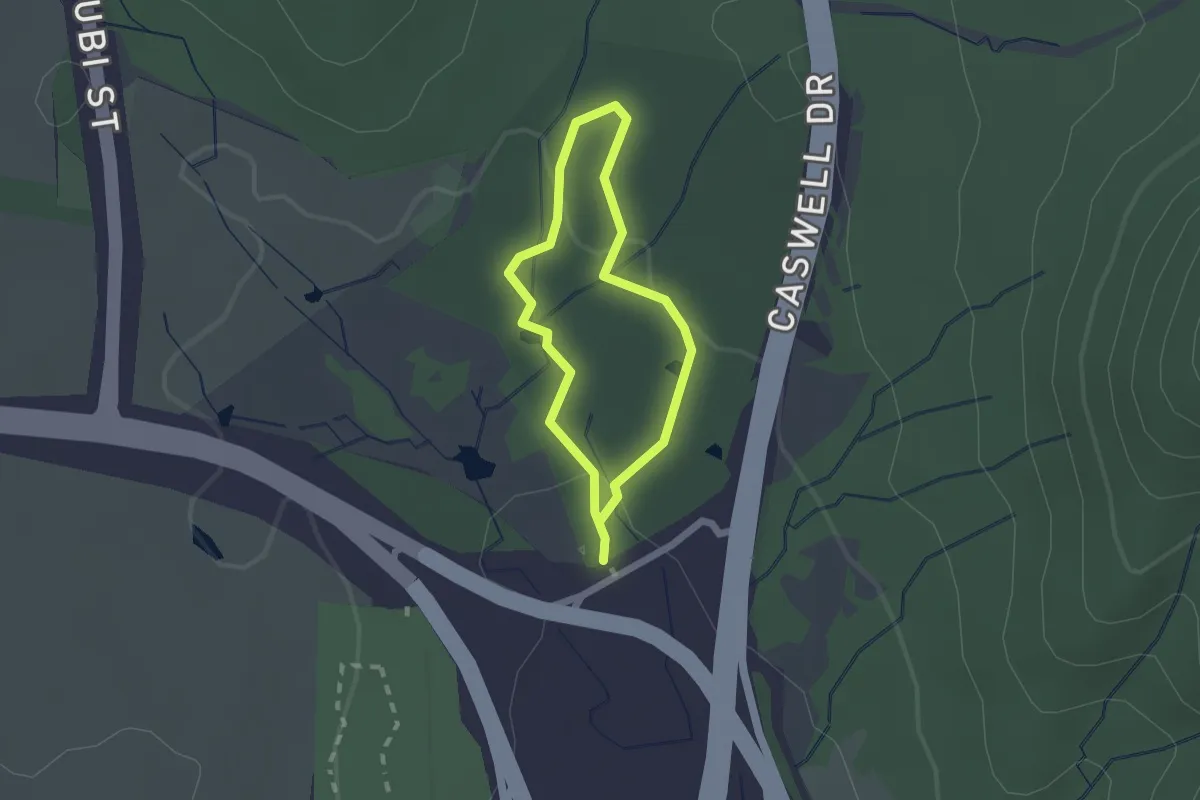
Easy · Trail
Ian Loiterton South Aranda Bushland Walk
1.7 km · ↑ 32 m · 30 min · 3 km away
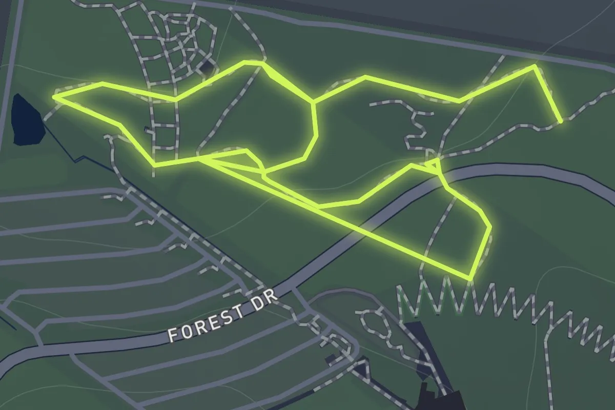
Easy · Trail
STEP Circuit
2.9 km · ↑ 23 m · 44 min · 3 km away
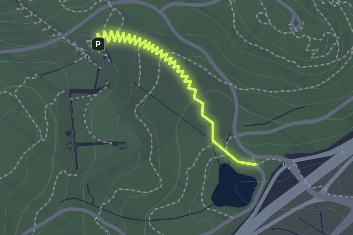
Easy · Trail
Central Valley Path
2.5 km · ↑ 41 m · 41 min · 3 km away
Easy · Trail
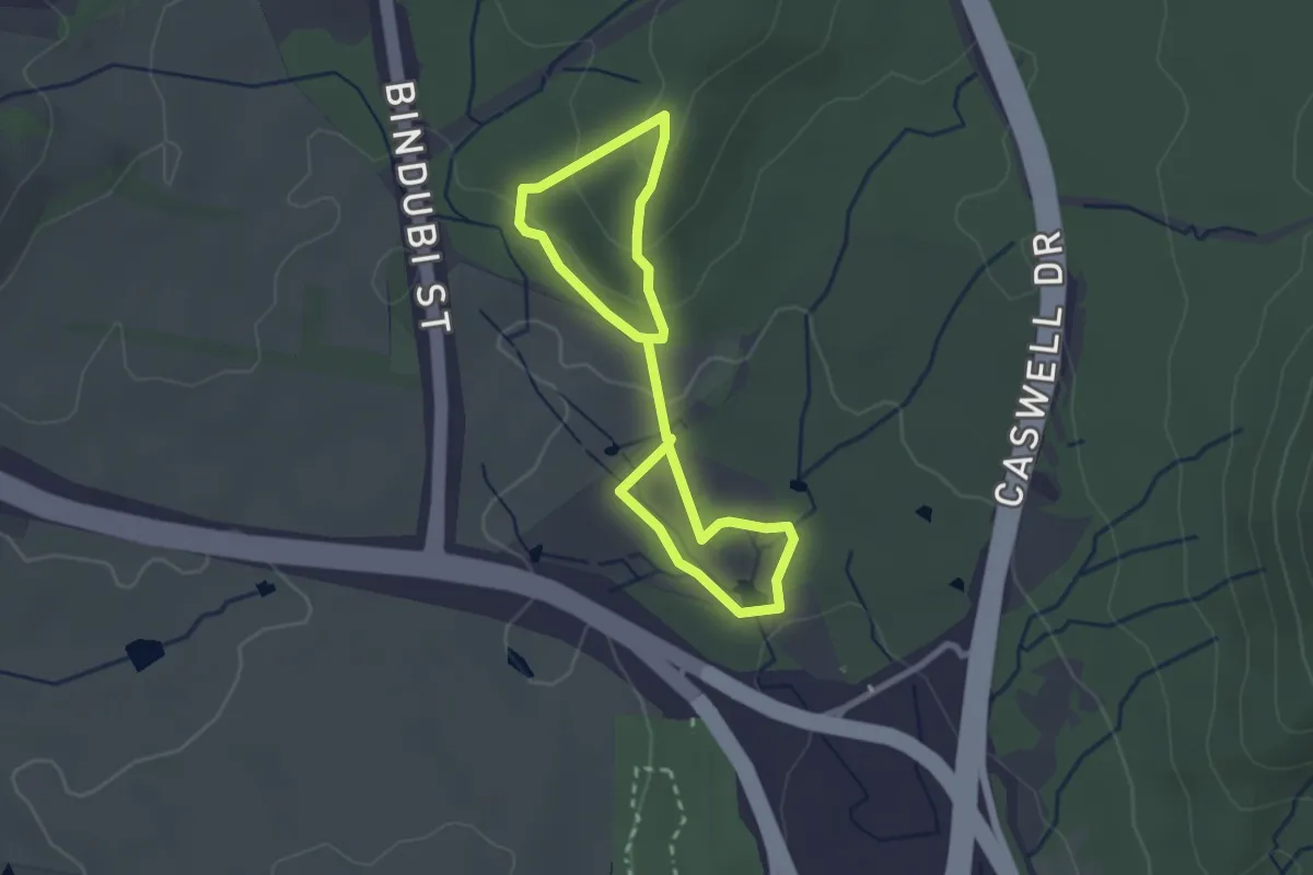
Frost Hollow to Forest Walk
4.8 km · ↑ 132 m · 1 h 25 min · 3 km away
Easy · Summit
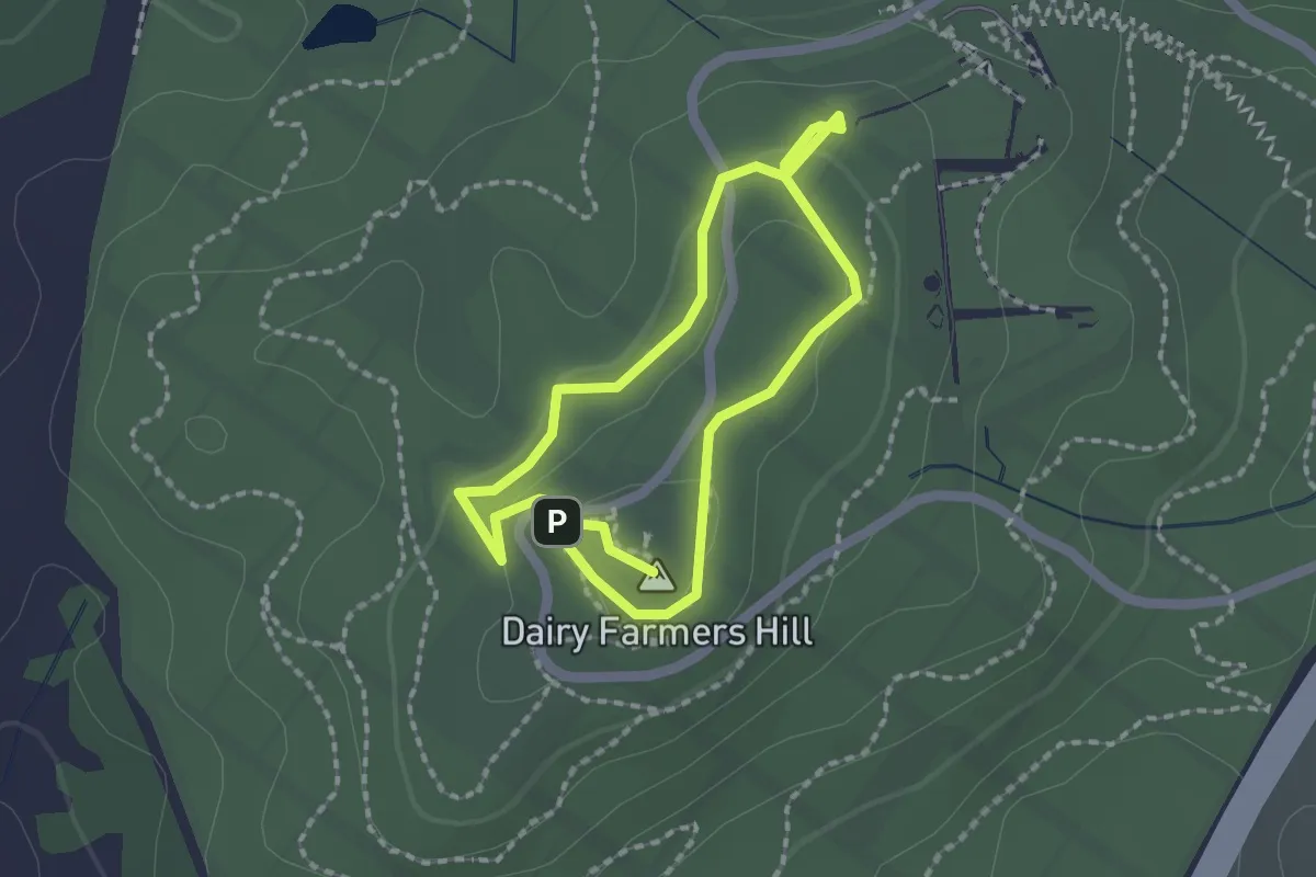
Dairy Farmers Hill Circuit
1.9 km · ↑ 33 m · 32 min · 3 km away
Easy · Trail
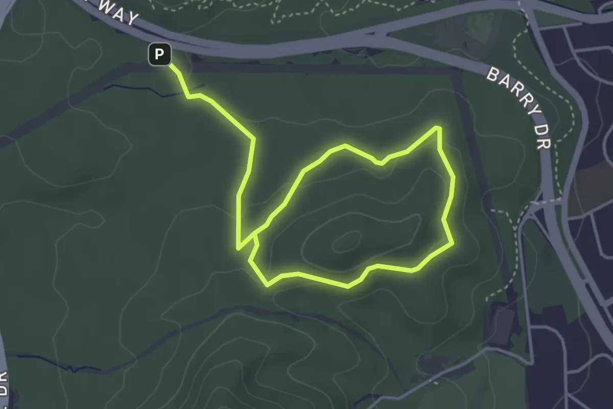
Little Black Mountain Walk
6.8 km · ↑ 146 m · 1 h 55 min · 4 km away
Easy · Trail
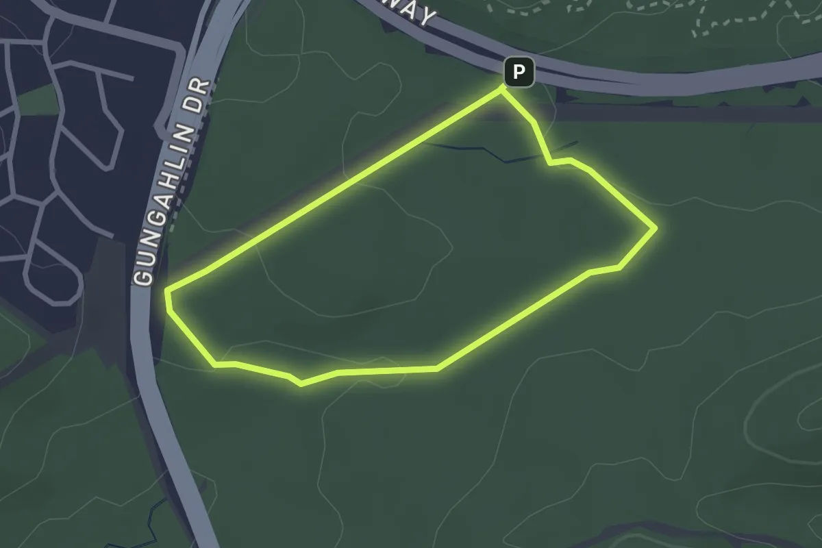
Link walk
2.7 km · ↑ 42 m · 45 min · 4 km away
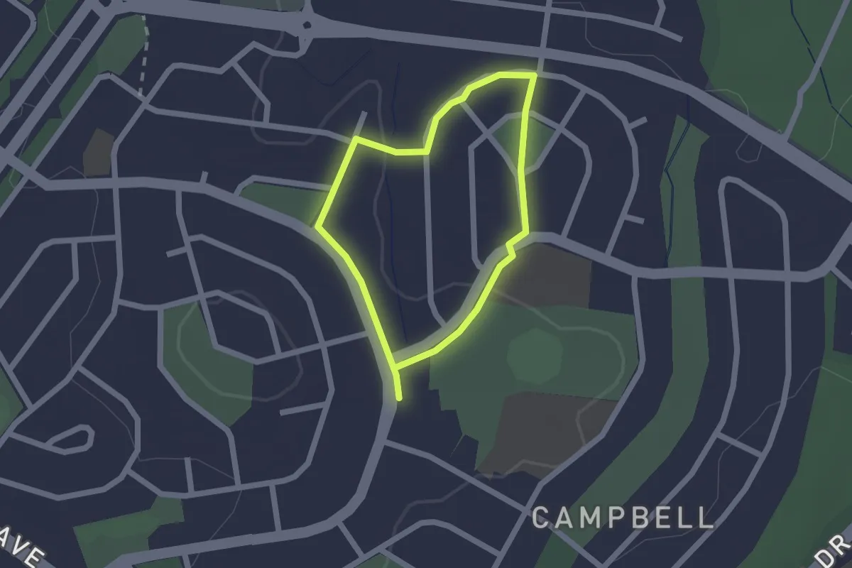
Easy · Trail
Memorial Parks Walk
1.7 km · ↑ 24 m · 28 min · 5 km away
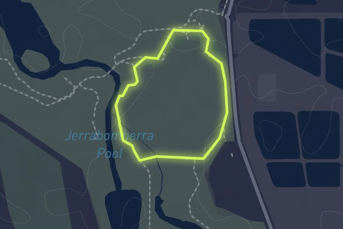
Easy · Trail
Kellys Loop
1.3 km · ↑ 4 m · 19 min · 6 km away
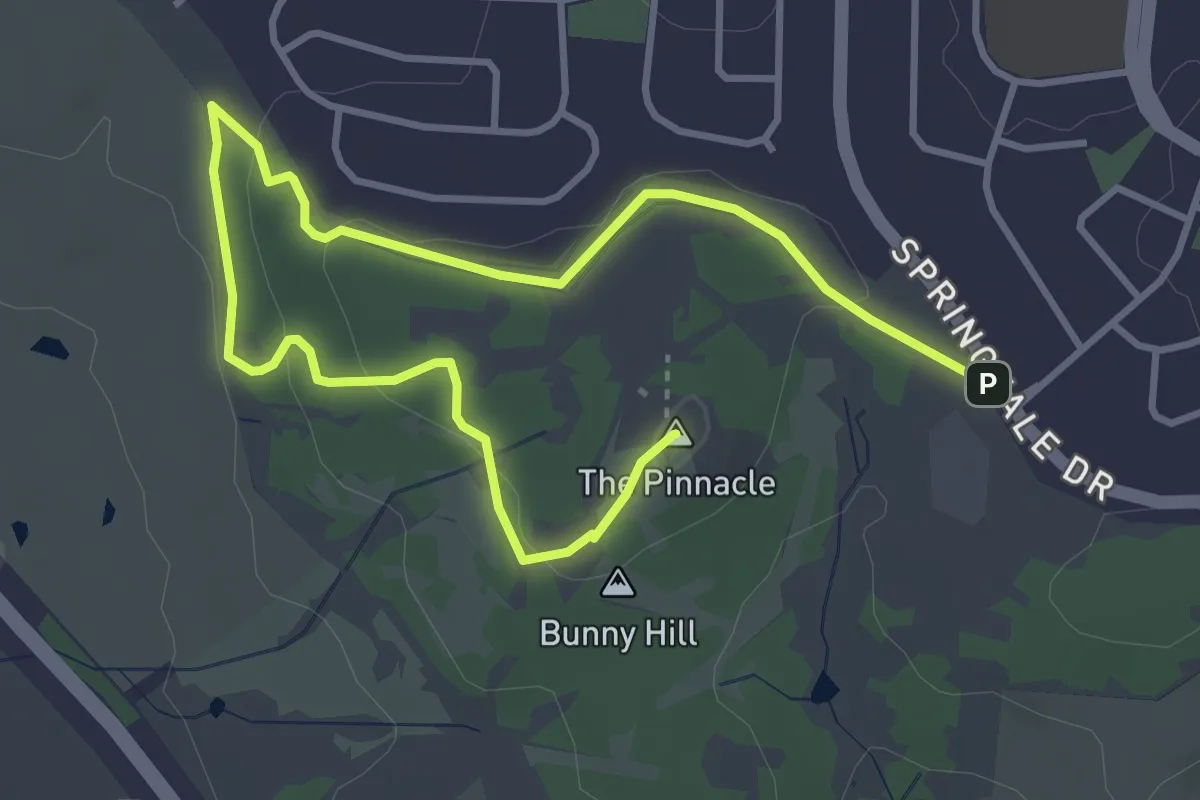
Easy · Summit
Stringybark Loop
6.2 km · ↑ 117 m · 1 h 43 min · 7 km away
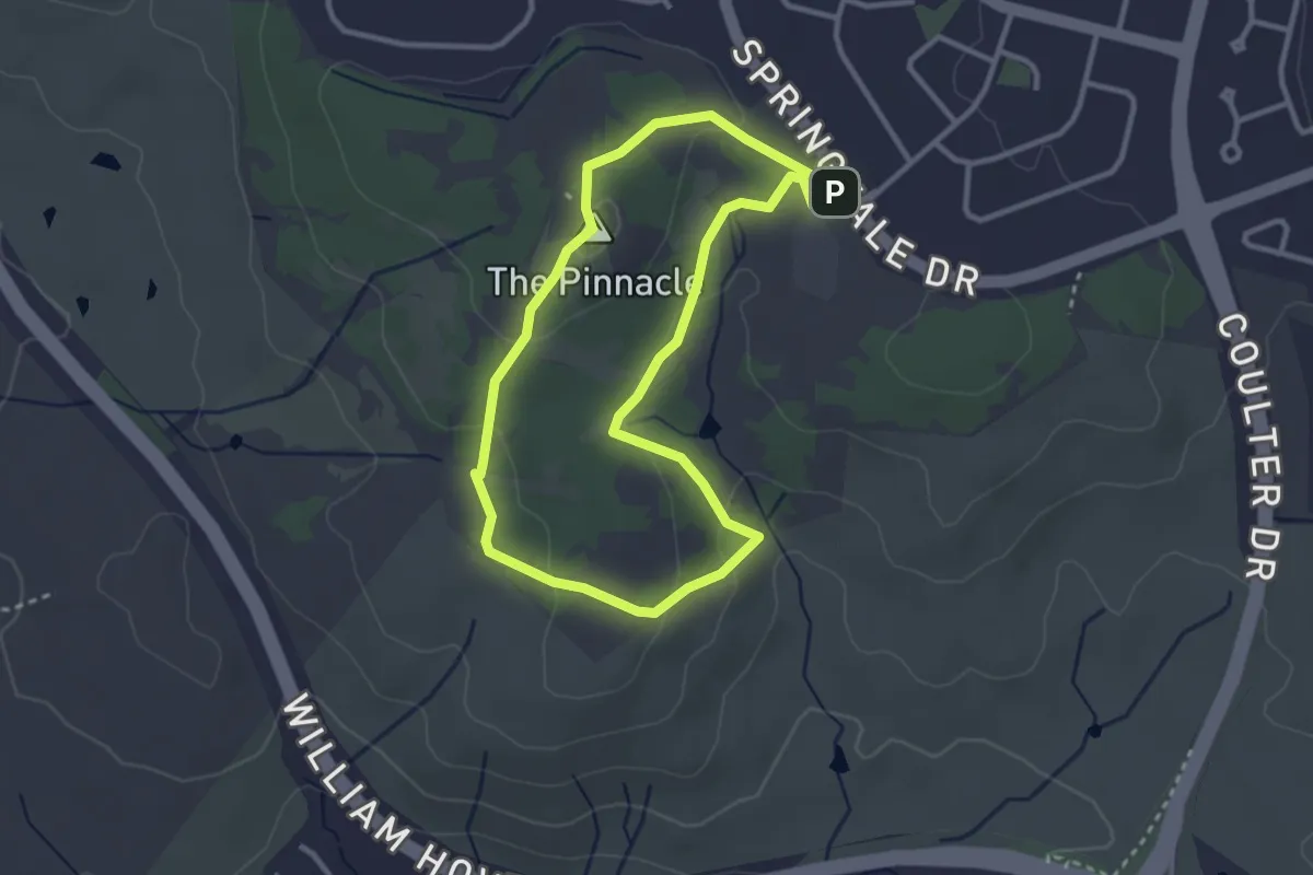
Easy · Summit
Central-Valley Loop
3.3 km · ↑ 94 m · 1 h 2 min · 7 km away
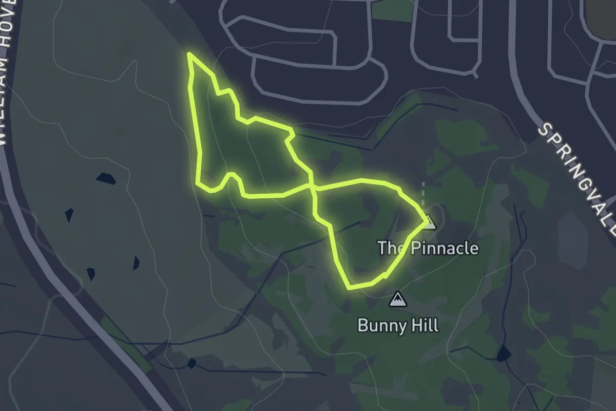
Easy · Summit
Pinnacle Nature Walk (Macrorhyncha Loop)
2.6 km · ↑ 65 m · 48 min · 7 km away
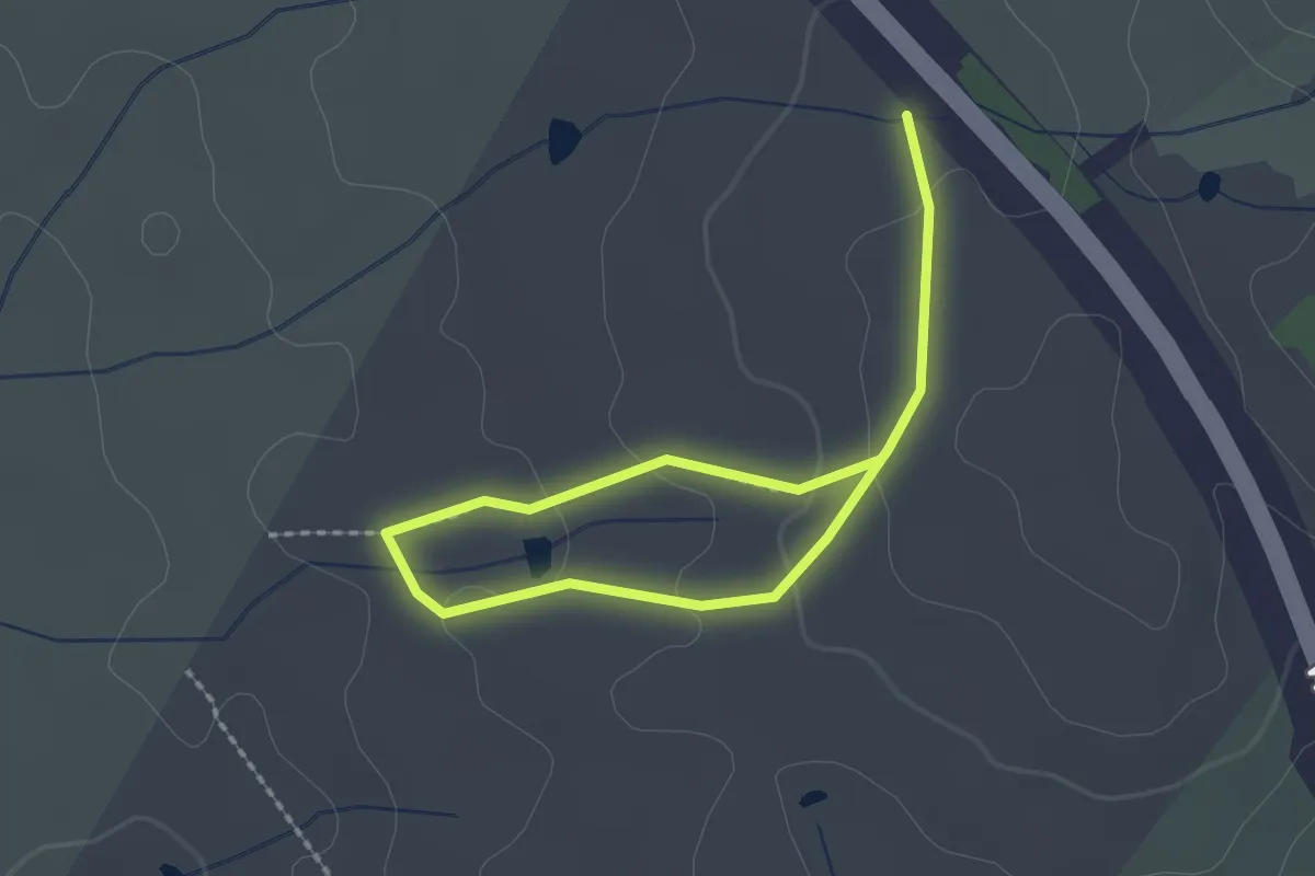
Easy · Trail
Kama Dam Walk
3.4 km · ↑ 91 m · 1 h · 8 km away
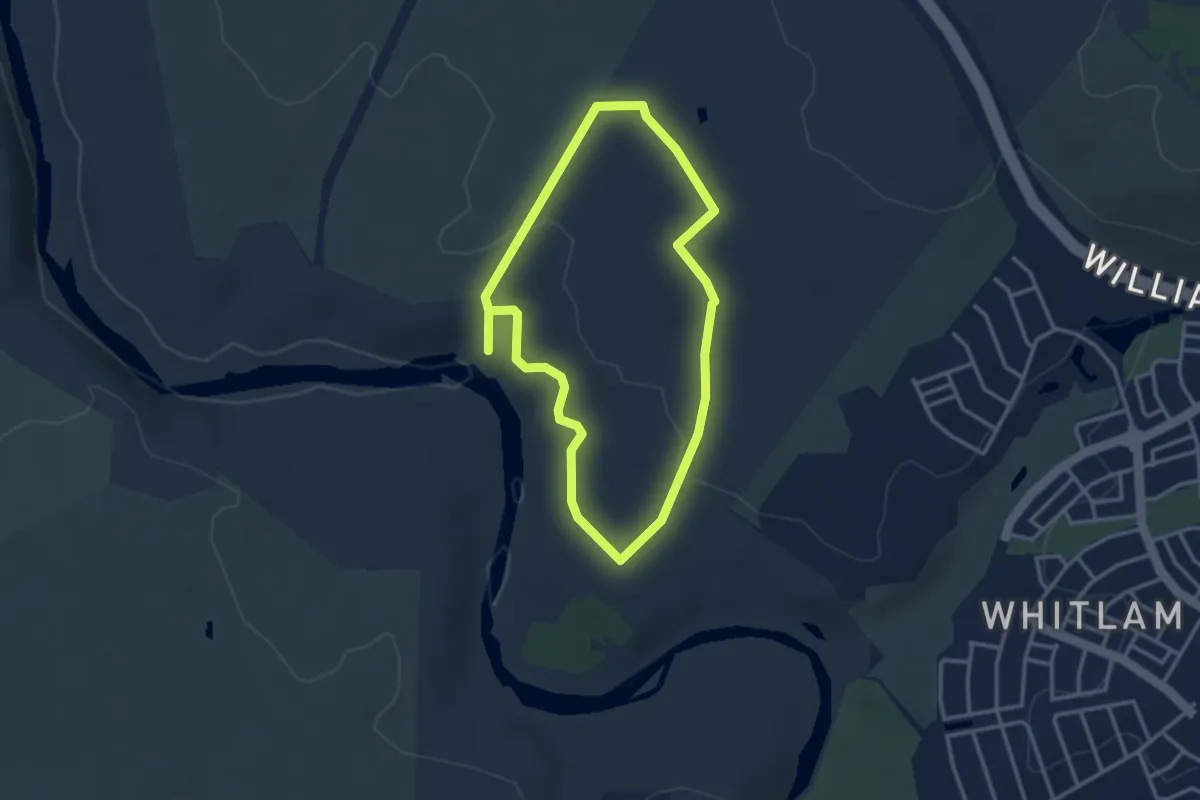
Easy · Trail
Kama River Walk
3.5 km · ↑ 56 m · 1 h · 8 km away
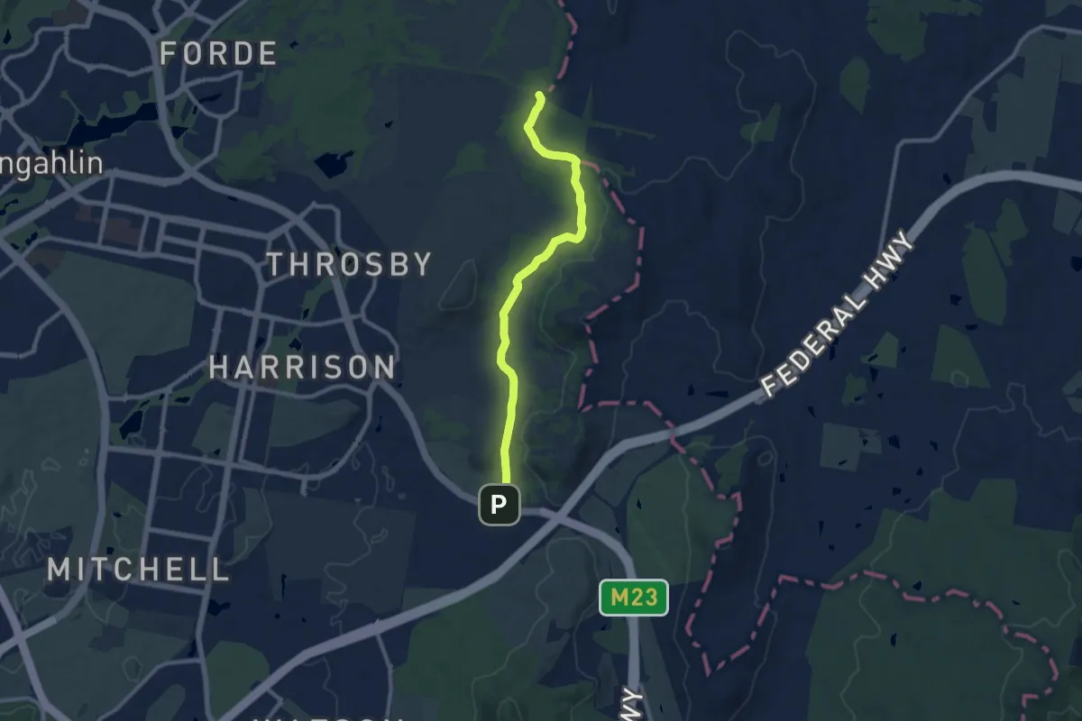
Medium · Trail
Goorooyarroo Track
11.0 km · ↑ 143 m · 2 h 54 min · 12 km away
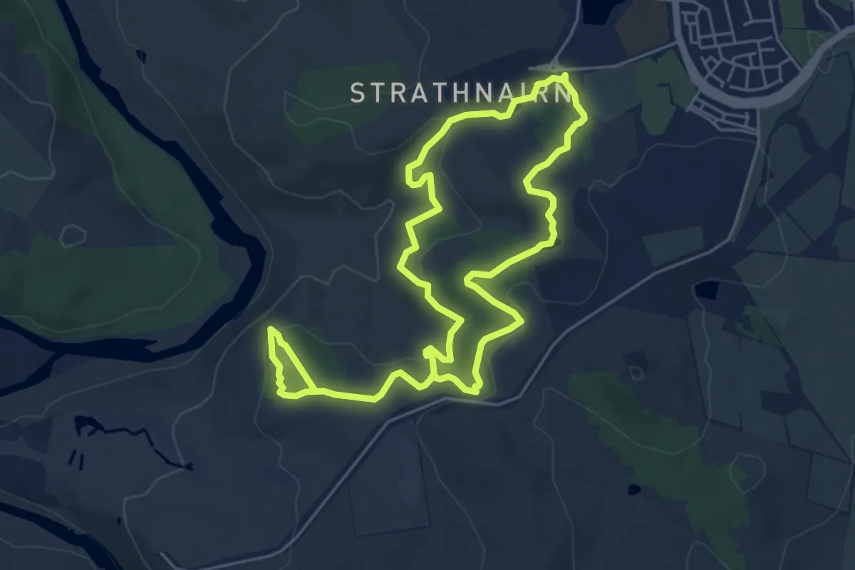
Easy · Trail
Shepherds Lookout Loop
5.7 km · ↑ 158 m · 1 h 47 min · 12 km away
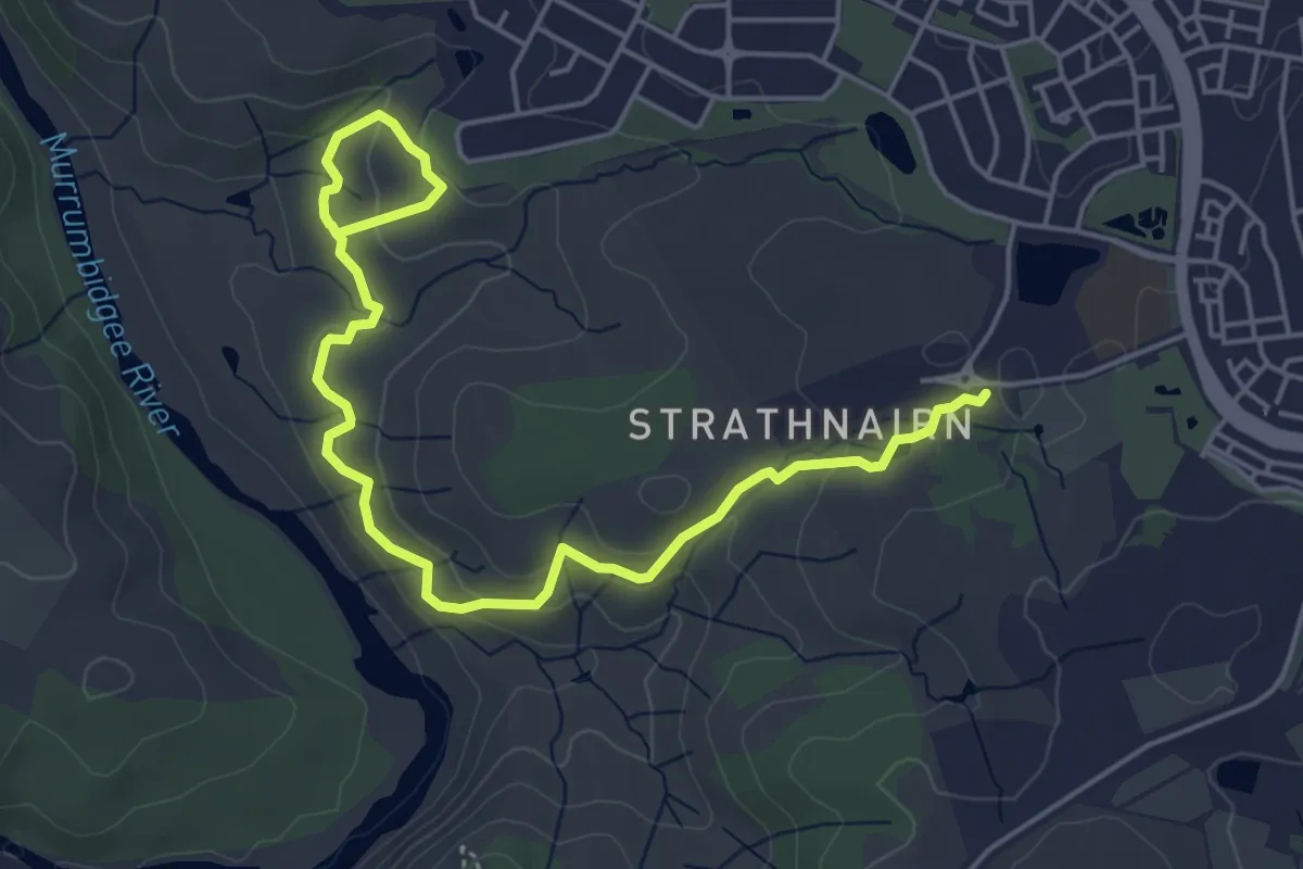
Easy · Trail
Nguurung Bila Loop
3.6 km · ↑ 72 m · 1 h 6 min · 12 km away
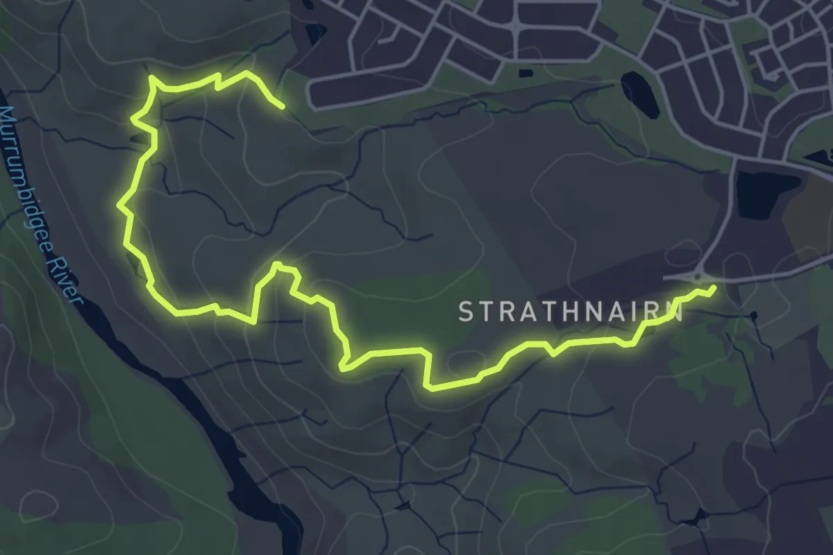
Easy · Trail
Woodland Loop
3.6 km · ↑ 80 m · 1 h 7 min · 12 km away
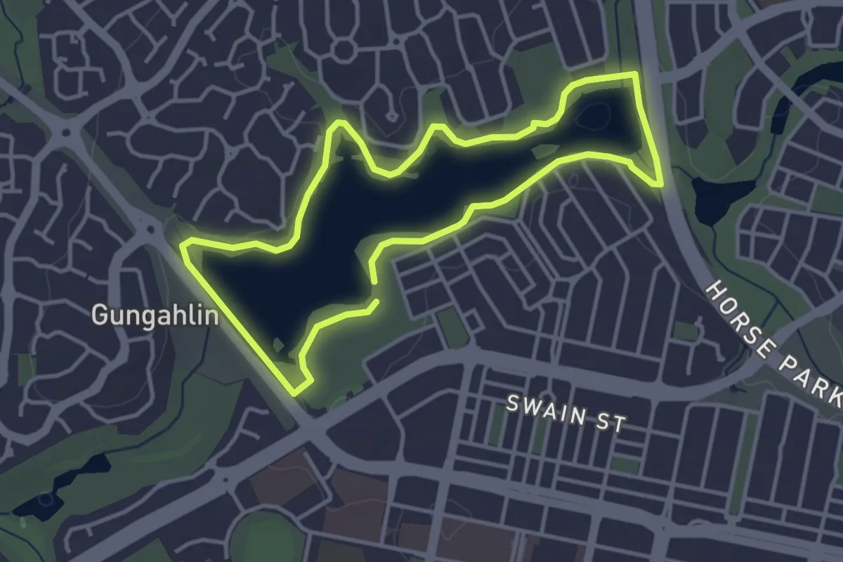
Easy · Trail
Gungahlin parkrun
4.1 km · ↑ 44 m · 1 h 8 min · 14 km away
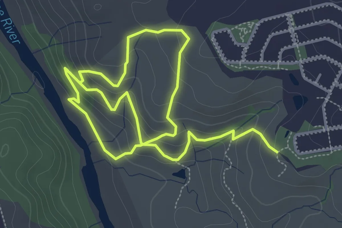
Easy · Trail
River Descent Tracks
3.5 km · ↑ 128 m · 1 h 10 min · 14 km away