Trails in Australia
551 hiking trails, each with its route, climb, walking time and grade.
Near a town
All trails, page 1 of 12
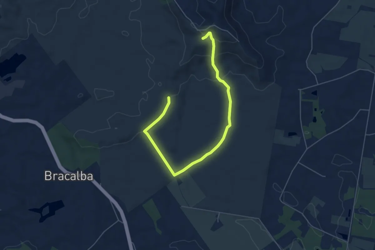
Easy · Trail
#1 Bracalba running trail
8.0 km · ↑ 192 m · 2 h 18 min
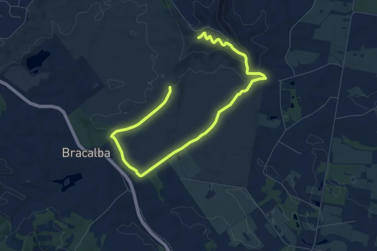
Medium · Trail
#2 Bracalba running trail
13.5 km · ↑ 286 m · 3 h 49 min
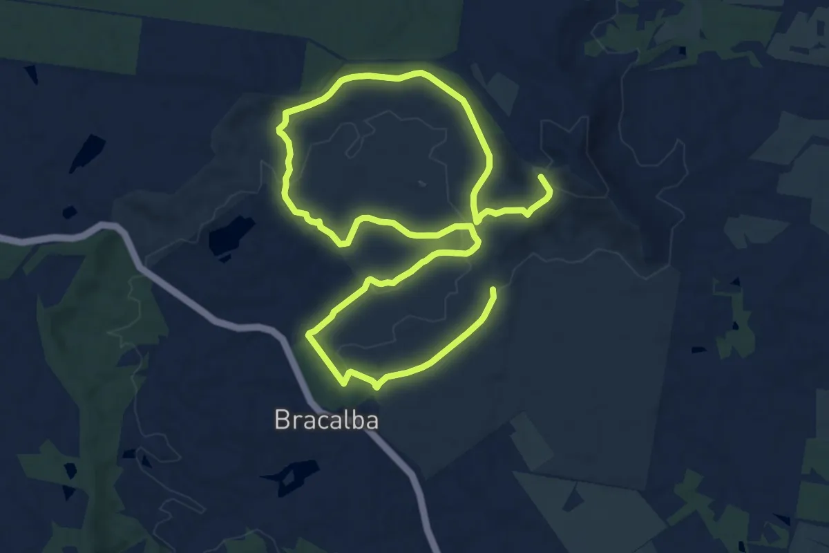
Demanding · Trail
#3 Bracalba running trail
21.4 km · ↑ 369 m · 5 h 50 min
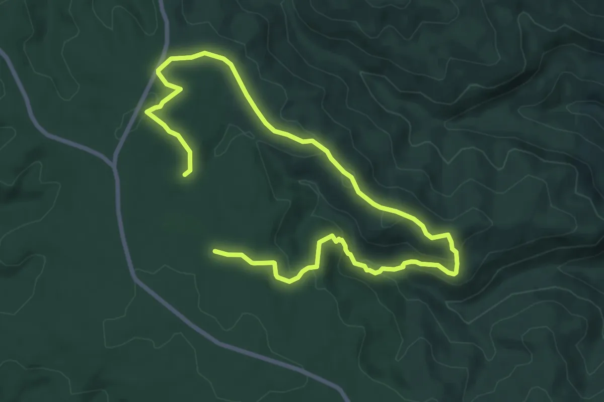
Medium · Trail
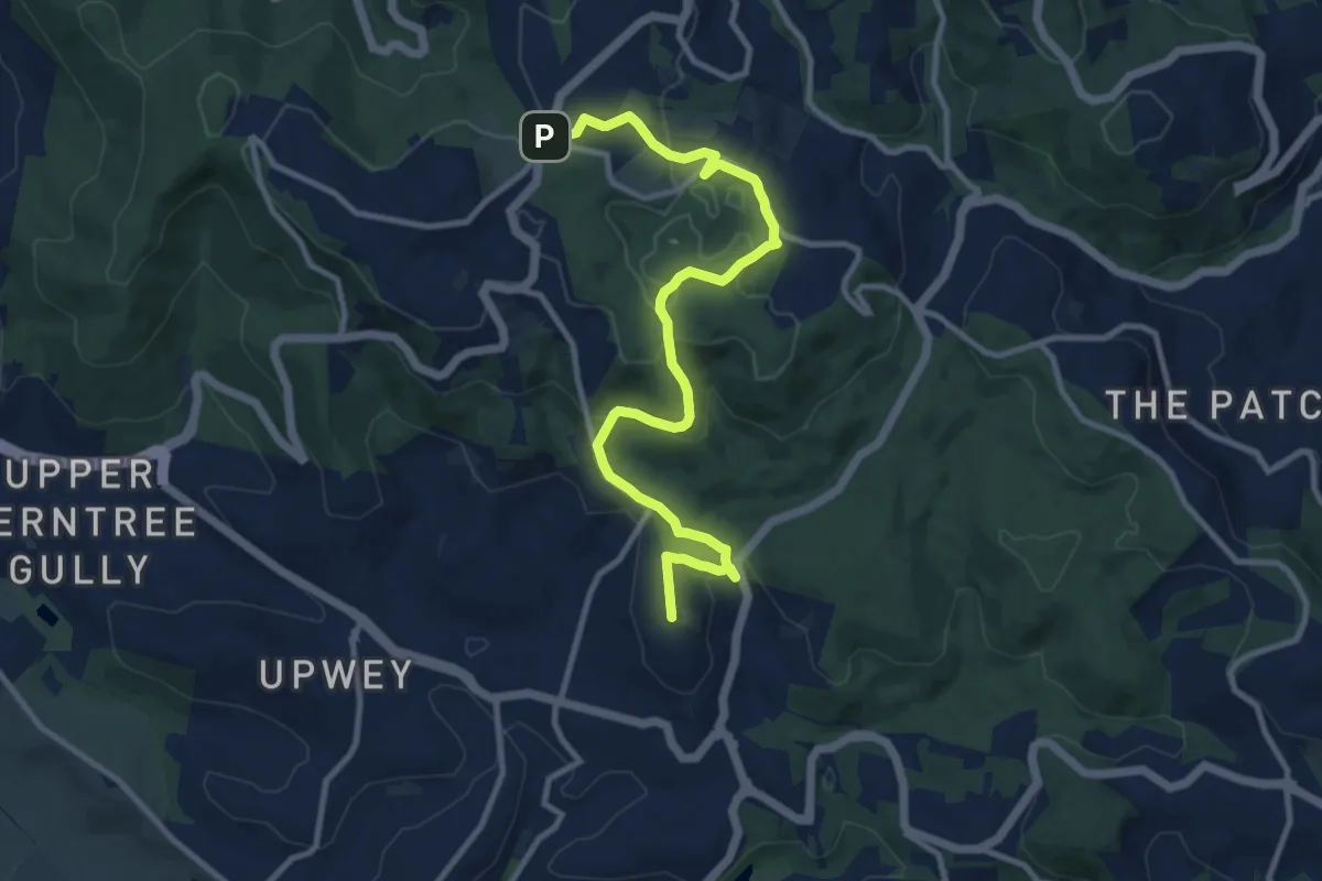
Abbotts Falls Walking Trail
12.5 km · ↑ 386 m · 3 h 48 min
Medium · Trail
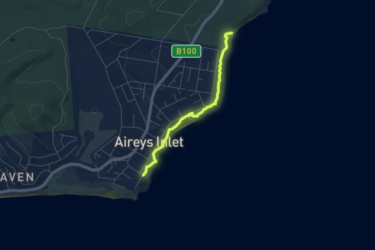
Activism (ngurrak barring | RidgeWalk)
13.5 km · ↑ 557 m · 4 h 23 min
Easy · Trail
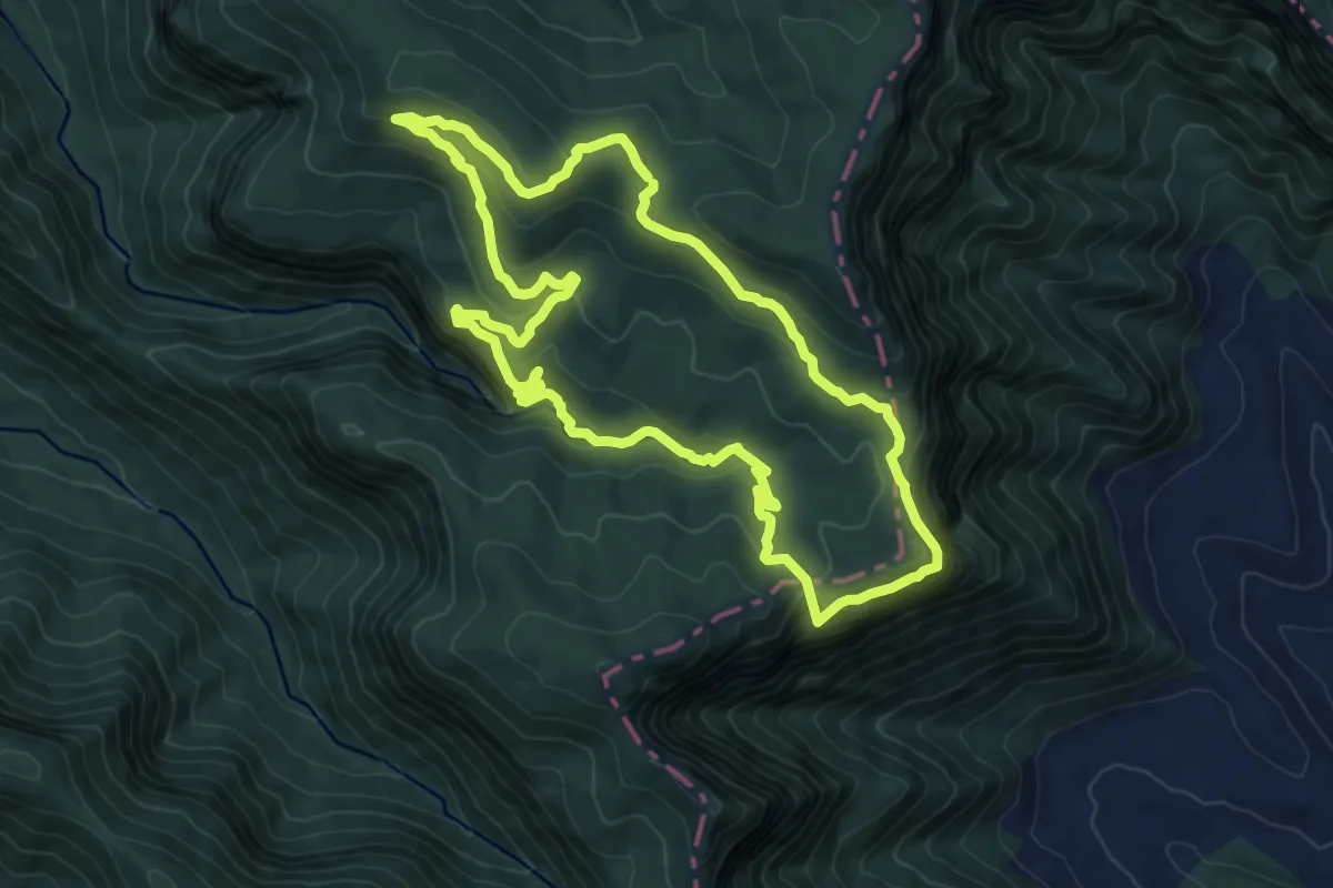
Airies Inlet Clifftop Walk
5.5 km · ↑ 138 m · 1 h 36 min
Medium · Summit
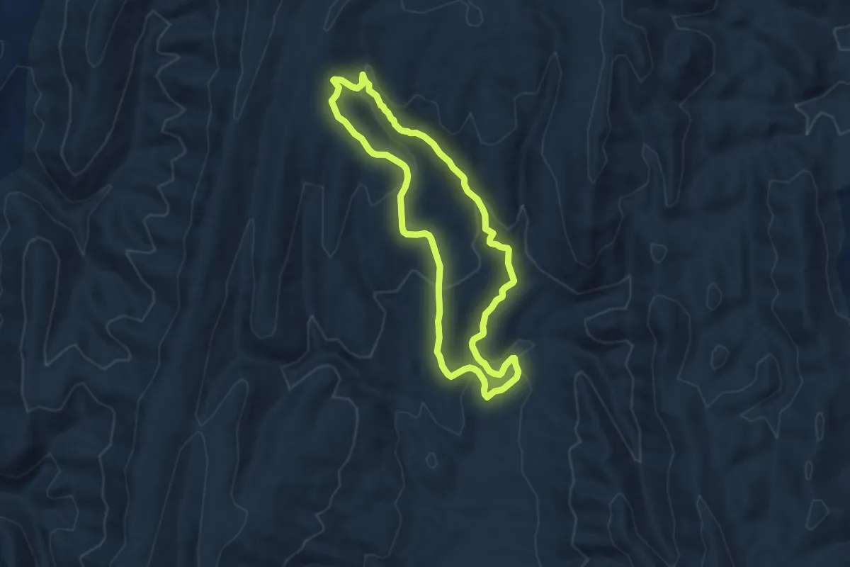
Albert River Circuit
10.6 km · ↑ 381 m · 3 h 28 min
Medium · Trail
Aligator Gorge Ring Route Hike
8.4 km · ↑ 325 m · 2 h 48 min
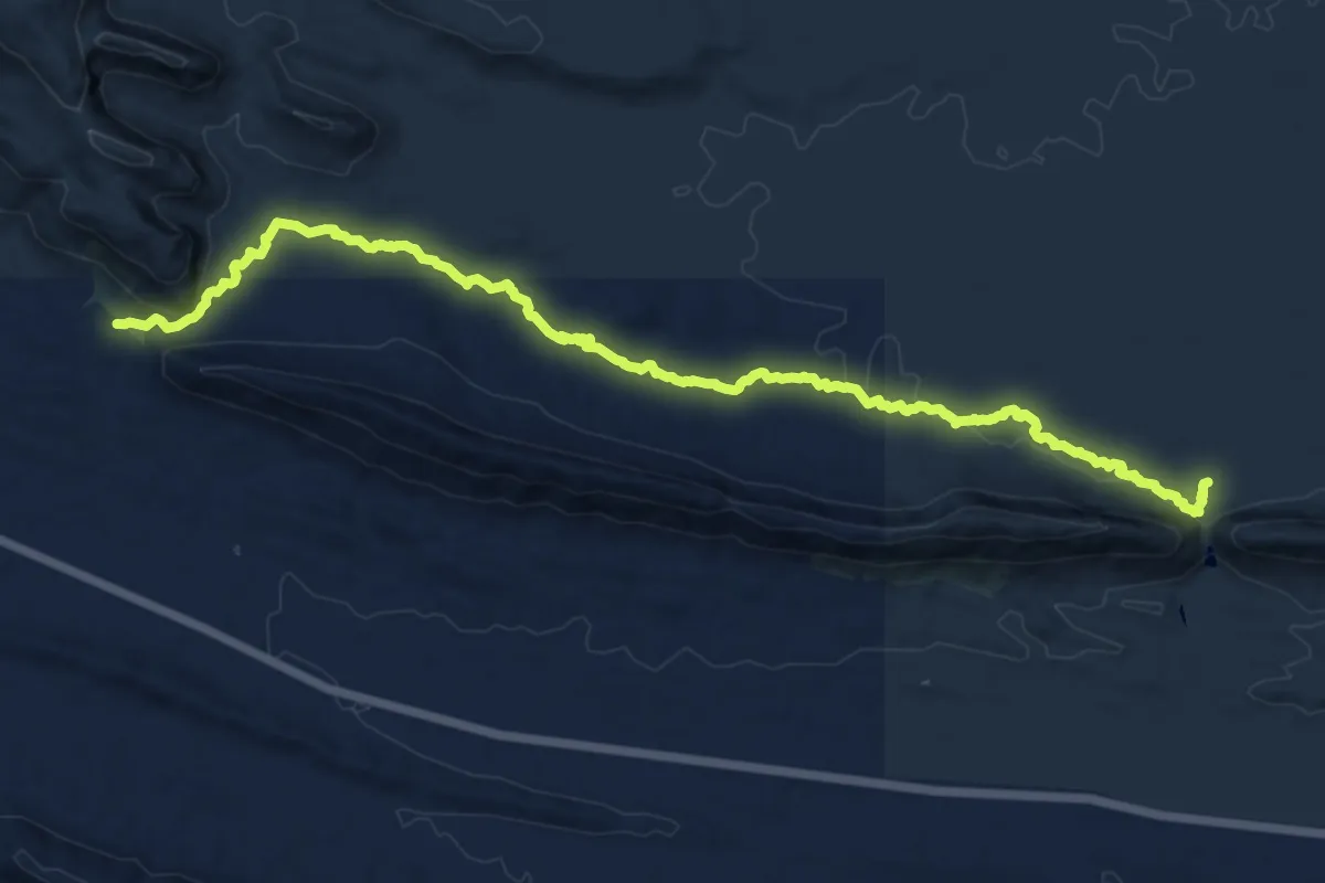
Demanding · Trail
Alternate Larapinta Trail Section 7 North
19.7 km · ↑ 279 m · 5 h 15 min
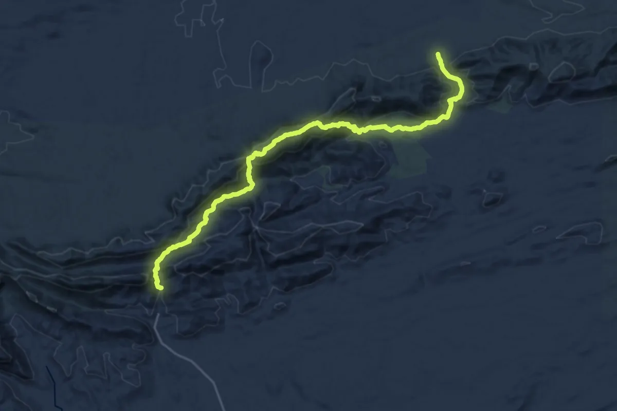
Medium · Trail
Alternative High Route Larapinta Trail Section 3
13.5 km · ↑ 774 m · 5 h 1 min
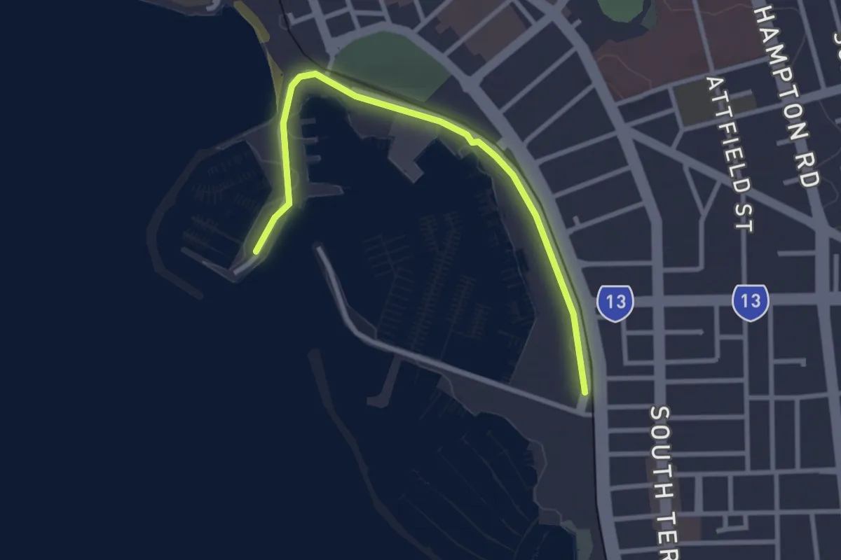
Easy · Trail
America's Cup Walk
3.5 km · ↑ 18 m · 52 min
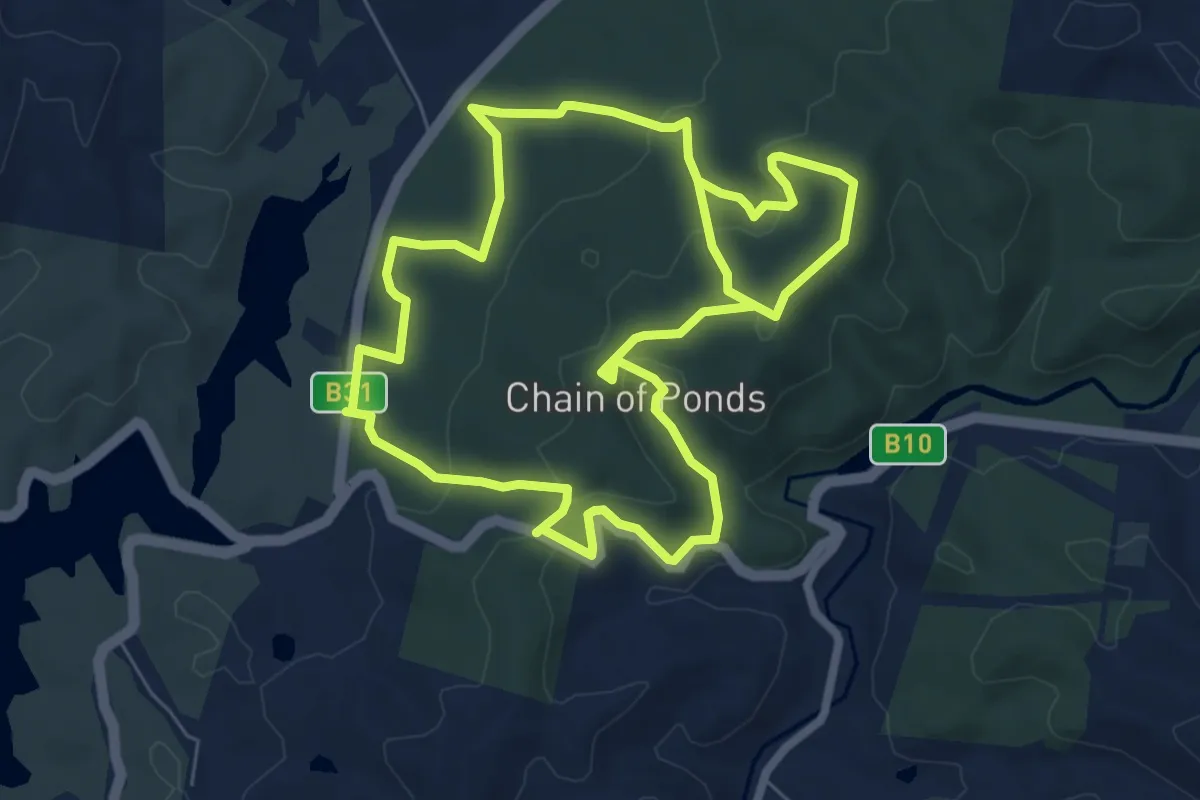
Medium · Trail
Andersoon Loop Trail
17.0 km · ↑ 509 m · 5 h 7 min
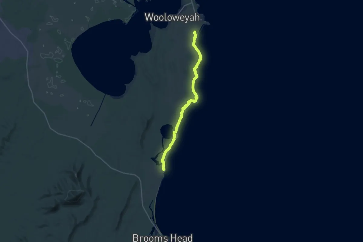
Demanding · Trail
Angourie Walk
22.8 km · ↑ 226 m · 5 h 53 min
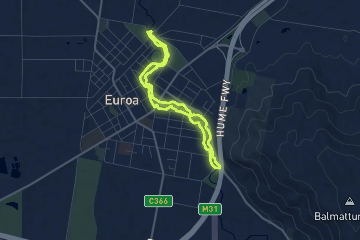
Easy · Trail
Apex Walk Trail
7.0 km · ↑ 41 m · 1 h 50 min
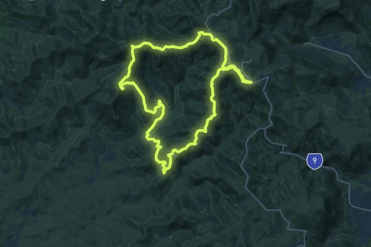
Demanding · Summit
Aquila Loop
22.5 km · ↑ 1029 m · 7 h 51 min
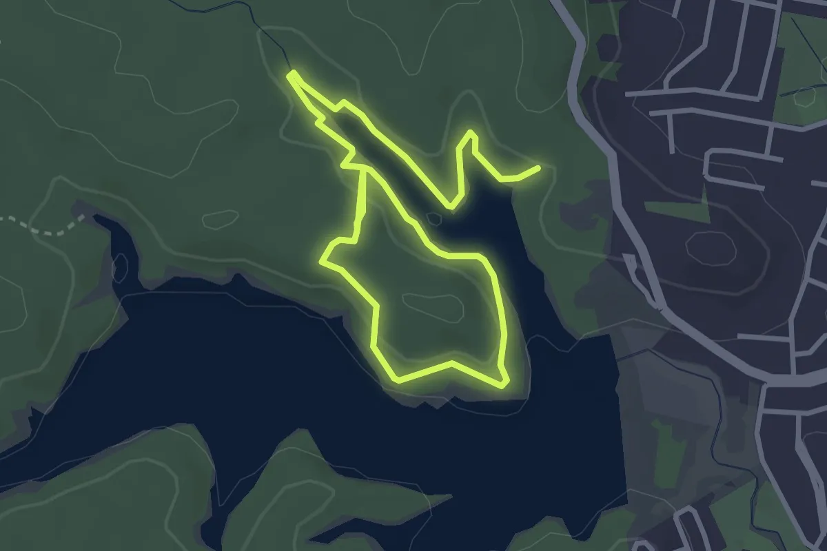
Easy · Trail
Araucaria Track
6.3 km · ↑ 176 m · 1 h 53 min
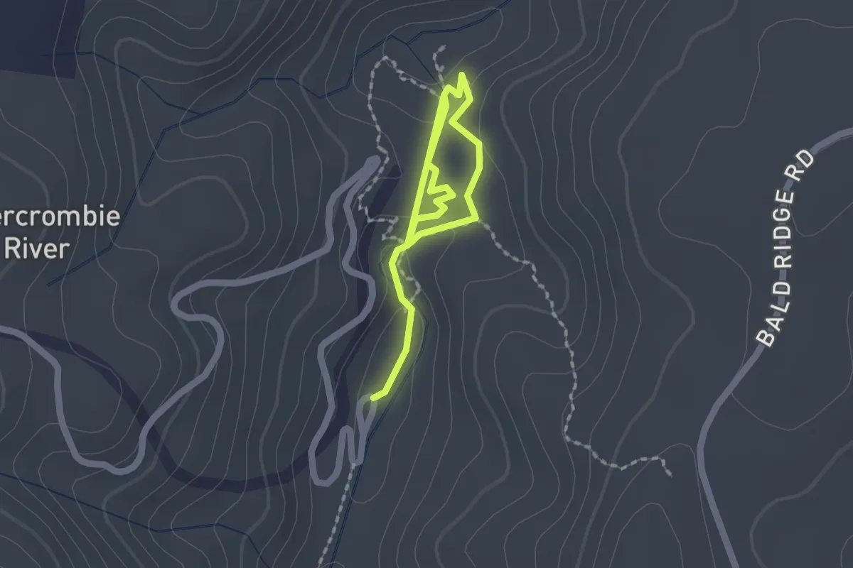
Easy · Trail
Archway Cave Self-Guided Tour
2.8 km · ↑ 92 m · 51 min
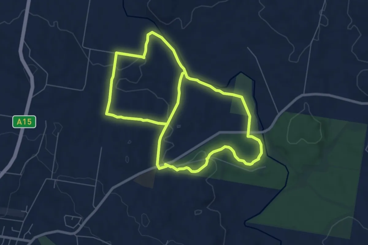
Medium · Trail
Armidale Walking Track
15.8 km · ↑ 265 m · 4 h 18 min
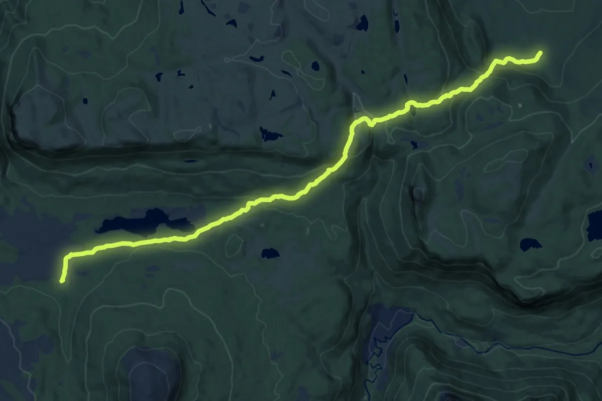
Demanding · Cabin
Arm River Track
23.1 km · ↑ 728 m · 7 h 2 min
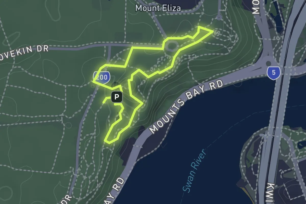
Easy · Trail
Art in the Park Walk
2.2 km · ↑ 94 m · 45 min
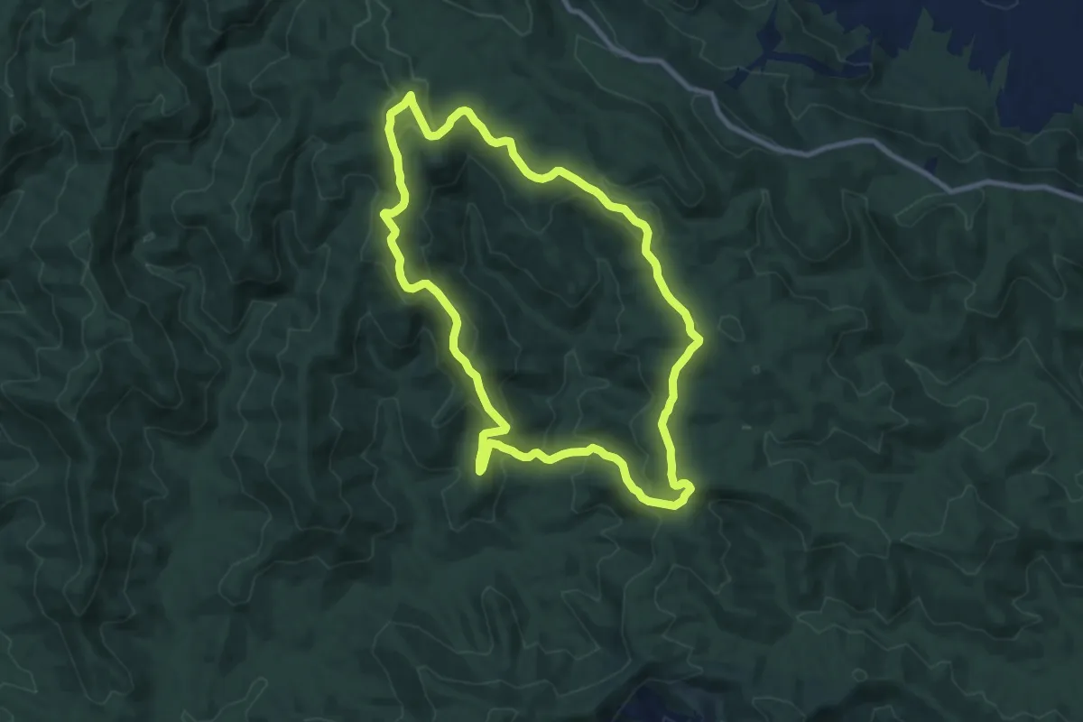
Medium · Trail
Augies Loop
11.8 km · ↑ 480 m · 4 h
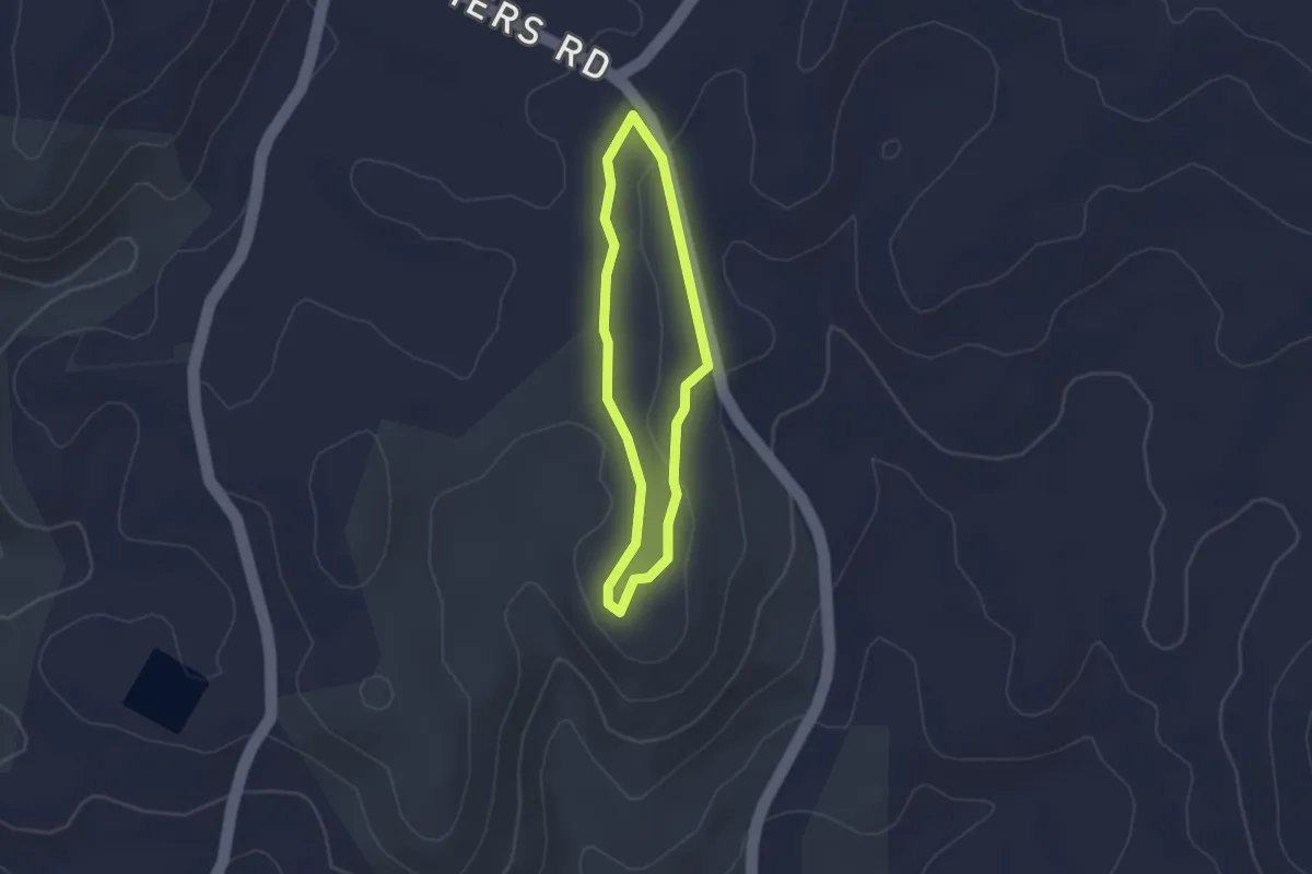
Easy · Trail
Banksia Hike
2.3 km · ↑ 35 m · 39 min
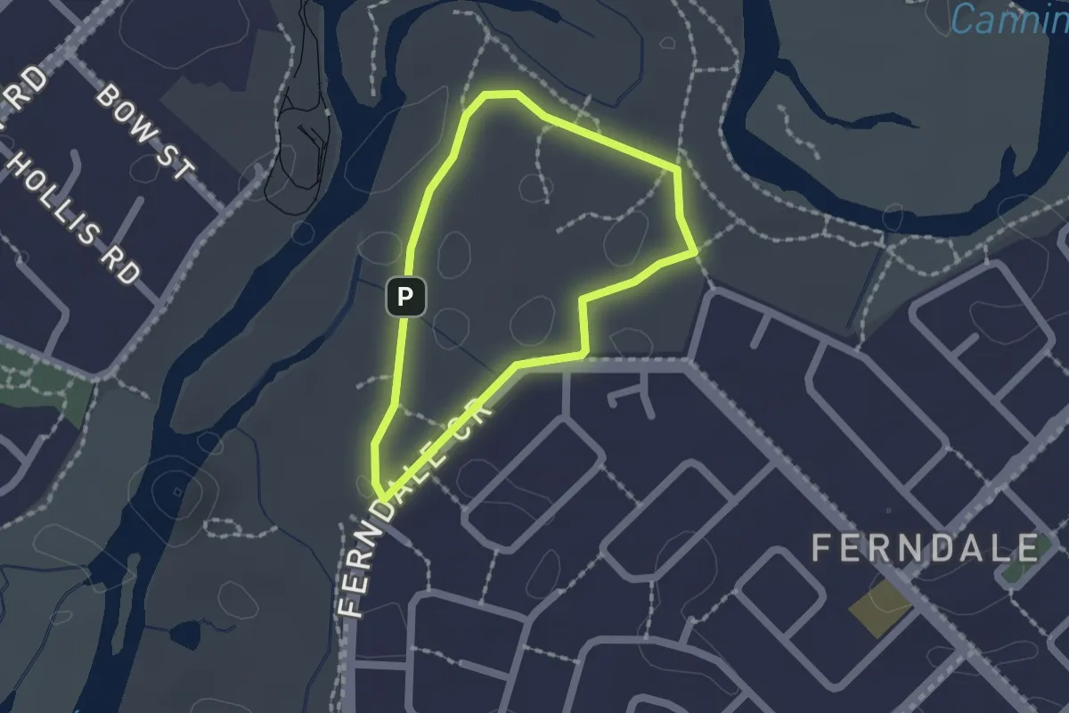
Easy · Trail
Banksia Hill Loop Walk Trail
1.7 km · ↑ 14 m · 27 min
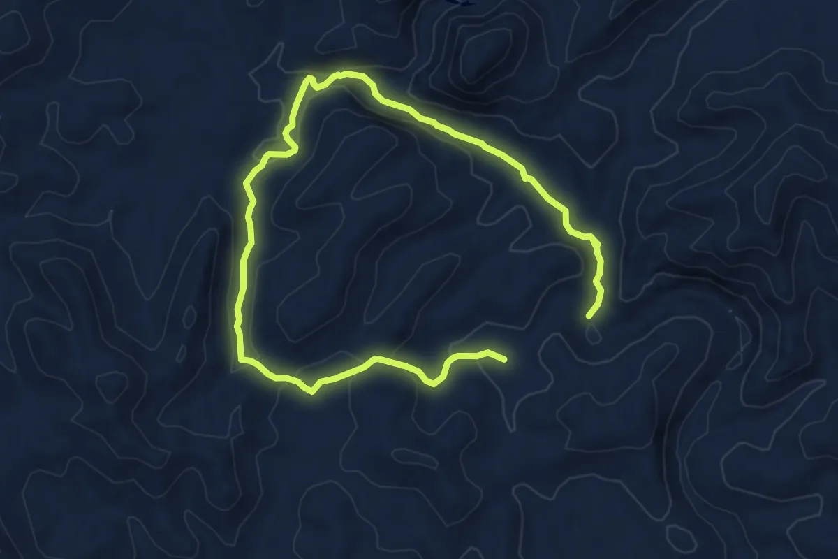
Medium · Trail
Bararranna Walking Trail
11.9 km · ↑ 274 m · 3 h 25 min
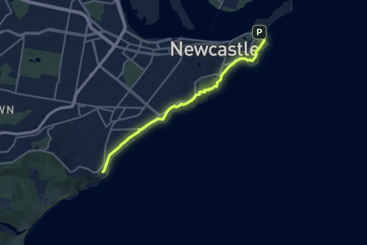
Demanding · Trail
Bathers Way
10.7 km · ↑ 983 m · 4 h 39 min
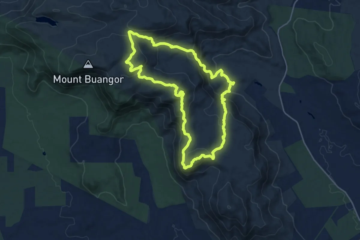
Medium · Summit
Beeripmo Walk
16.6 km · ↑ 749 m · 5 h 47 min
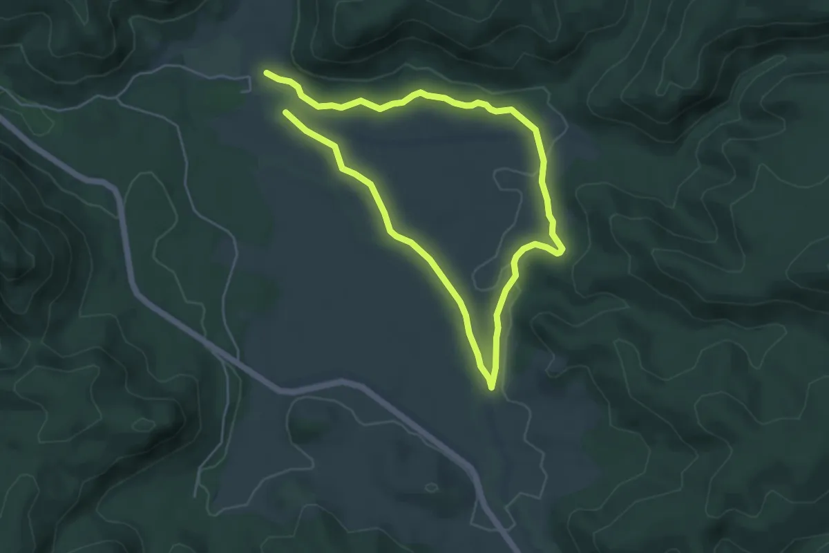
Medium · Trail
Belougerie Flats Circuit
10.0 km · ↑ 140 m · 2 h 40 min
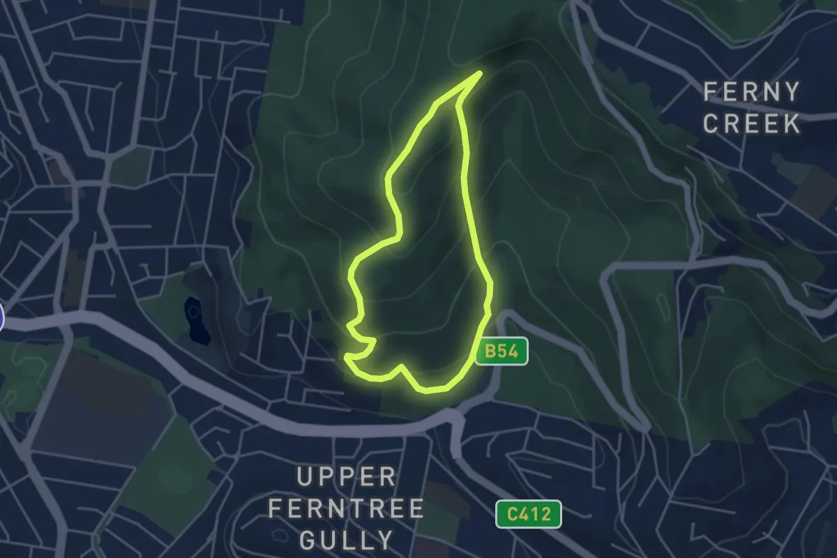
Easy · Trail
Belview Loop
4.0 km · ↑ 261 m · 1 h 34 min
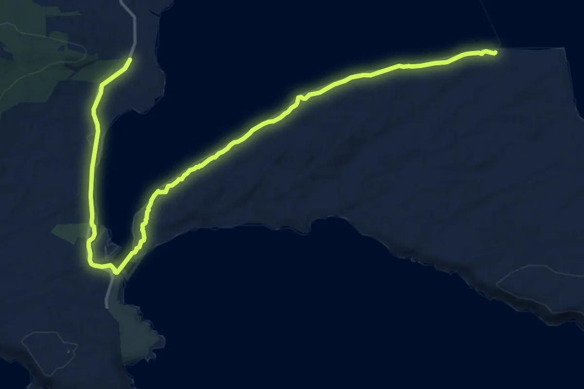
Demanding · Trail
Bibbulmun Track alternatives
19.9 km · ↑ 88 m · 4 h 53 min
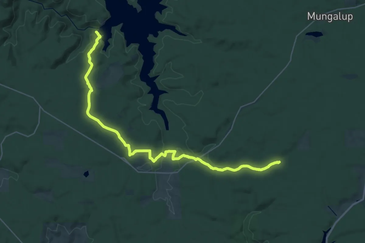
Medium · Trail
Bibbulmun Wellington Spur Trail
17.4 km · ↑ 268 m · 4 h 58 min
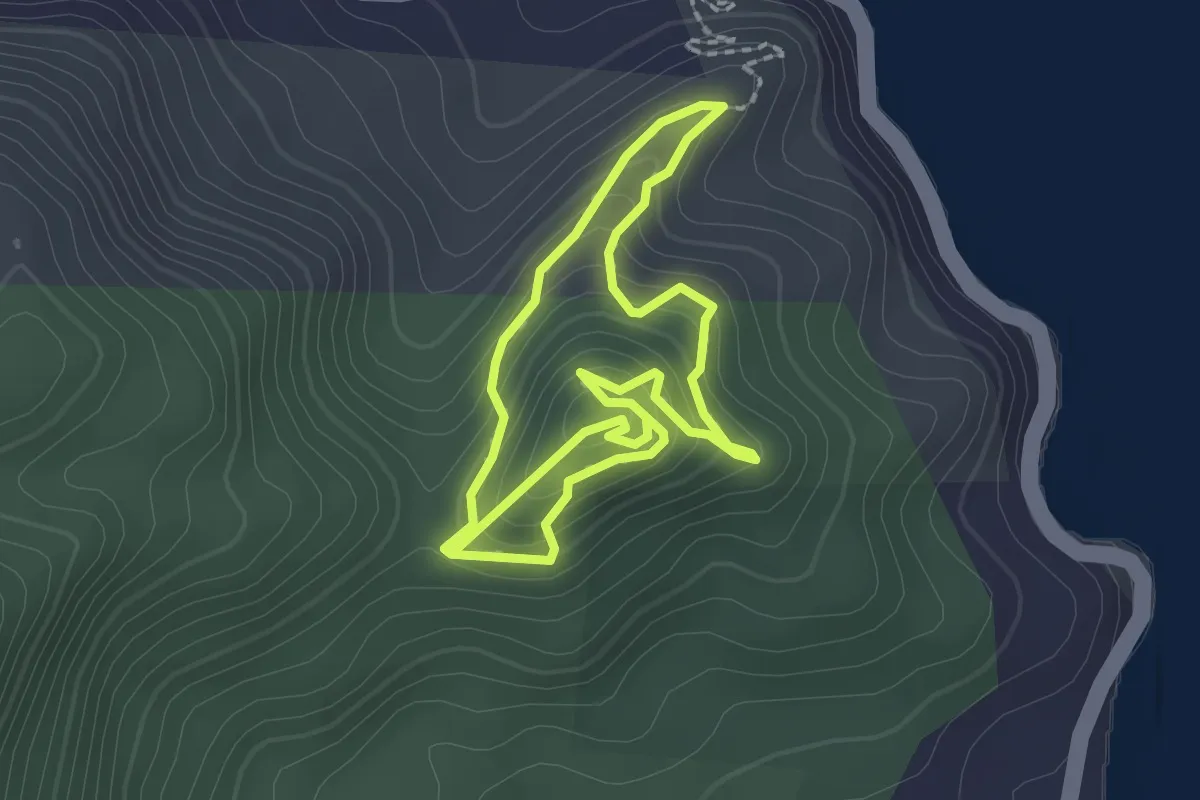
Easy · Trail
Bicton Hill Circuit Track
2.6 km · ↑ 175 m · 1 h 2 min
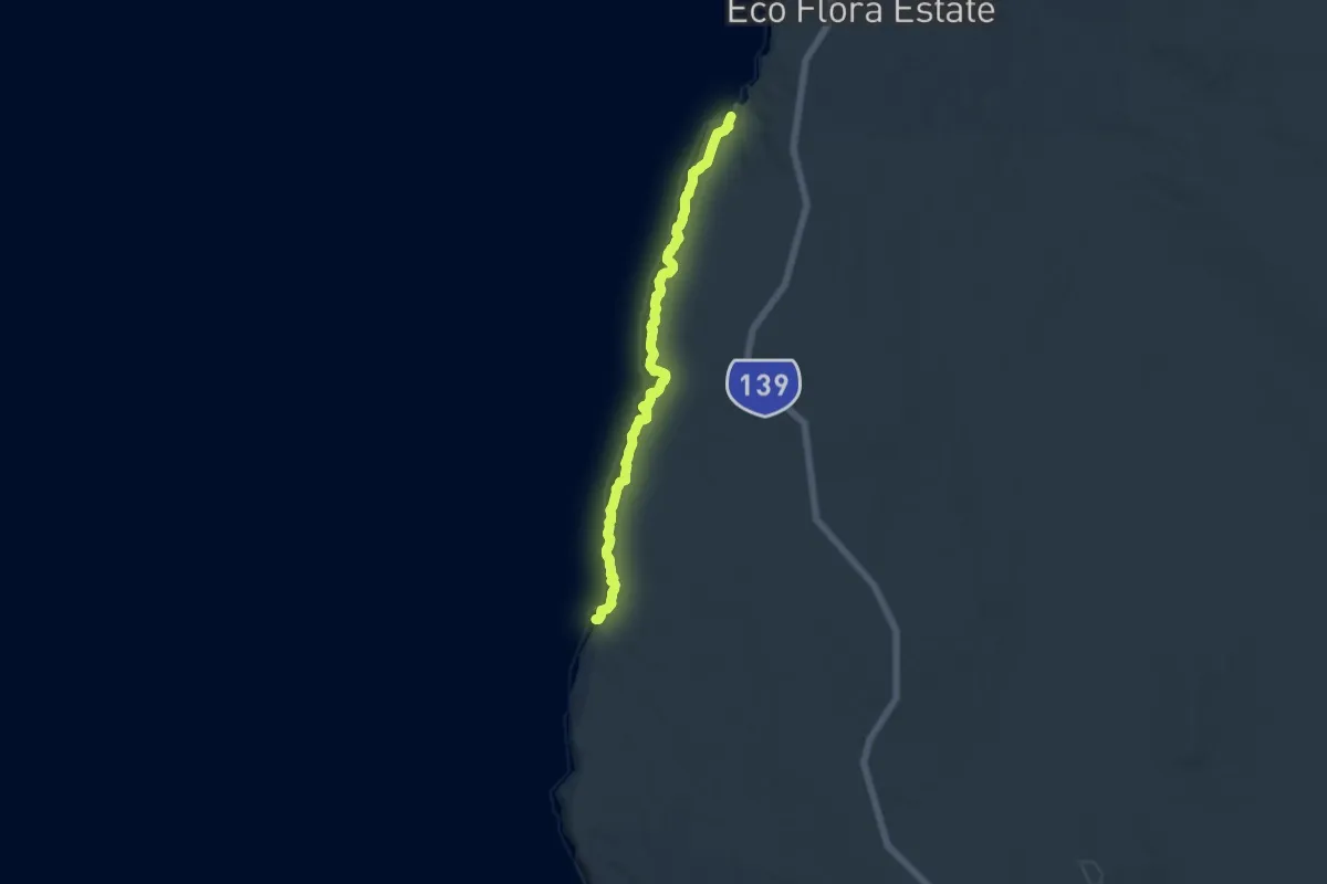
Medium · Trail
Bigurda Trail
16.4 km · ↑ 267 m · 4 h 26 min
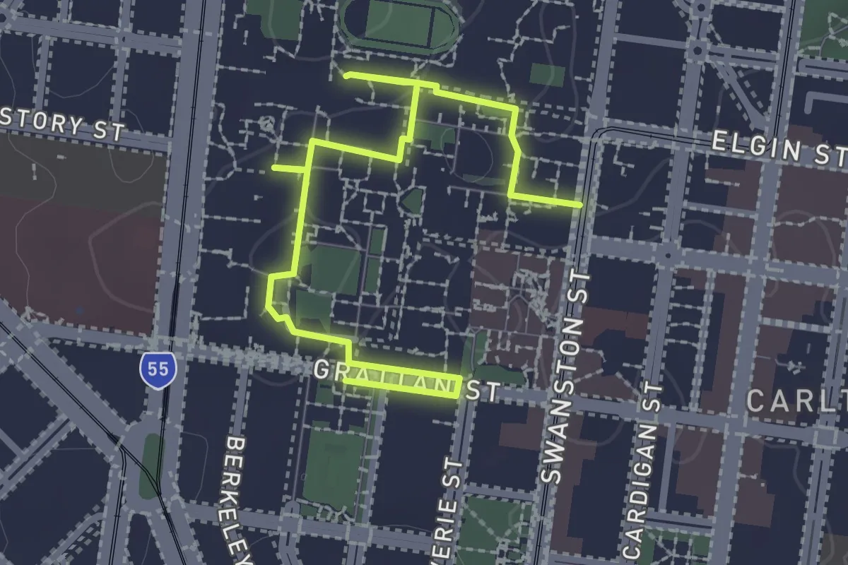
Easy · Trail
Billibellary's Walk
3.5 km · ↑ 46 m · 55 min
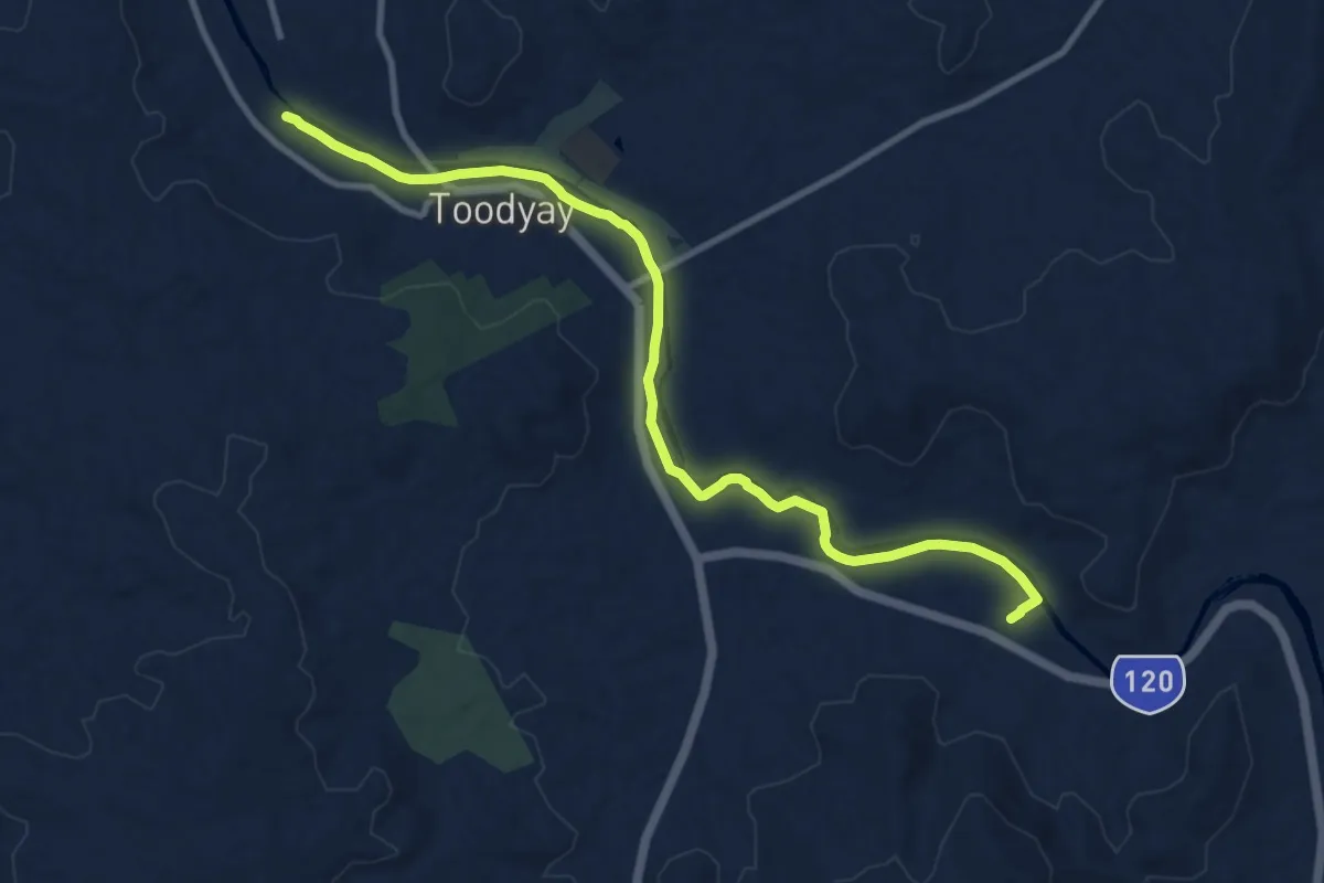
Medium · Trail
Bilya Walk Track
13.5 km · ↑ 60 m · 3 h 20 min
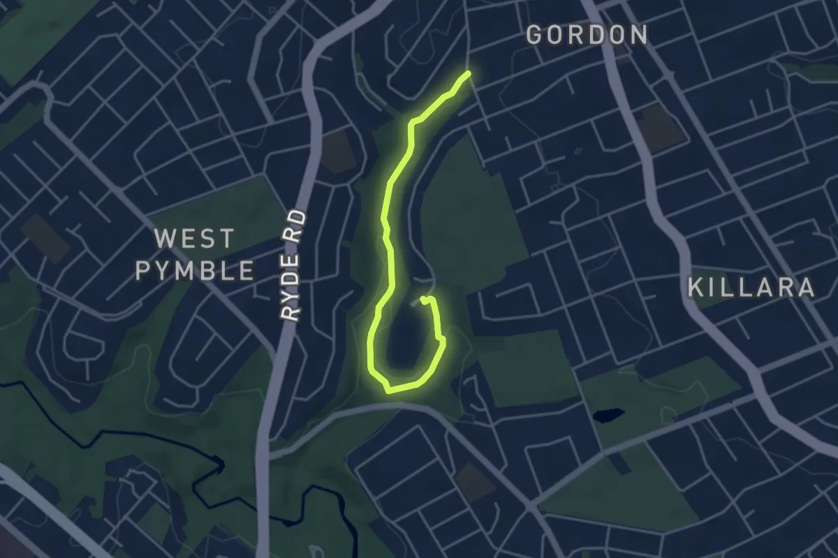
Easy · Trail
Blackbutt Creek Track
4.7 km · ↑ 100 m · 1 h 20 min
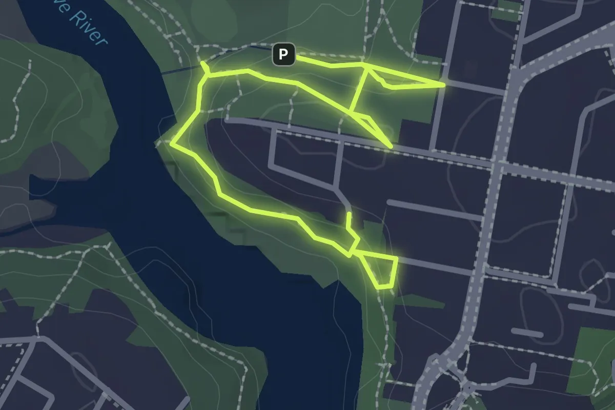
Easy · Trail
Blackman Park to The Boreen Bushwalk
4.0 km · ↑ 168 m · 1 h 19 min
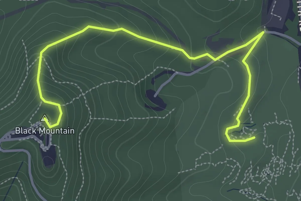
Easy · Summit
Black Mountain Summit Walk
4.5 km · ↑ 239 m · 1 h 35 min
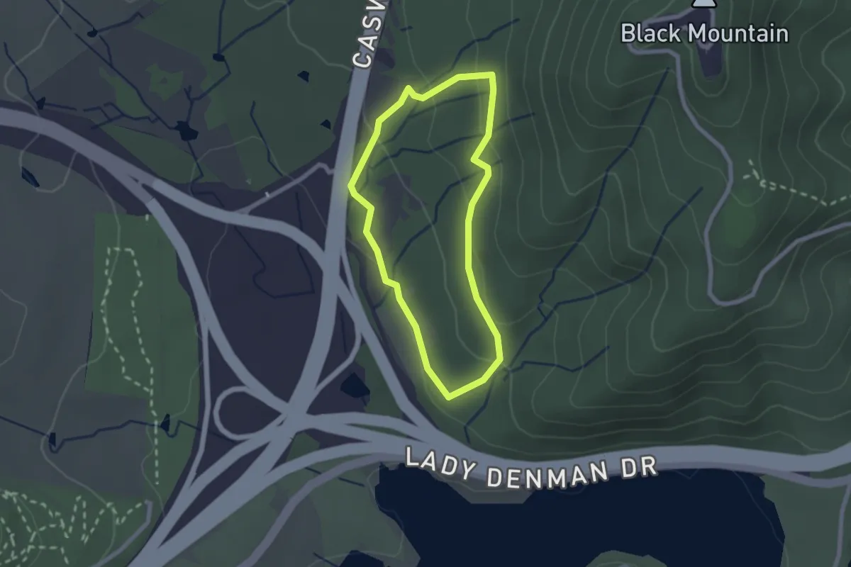
Easy · Trail
Black Mountain Woodland Walk
2.2 km · ↑ 75 m · 44 min
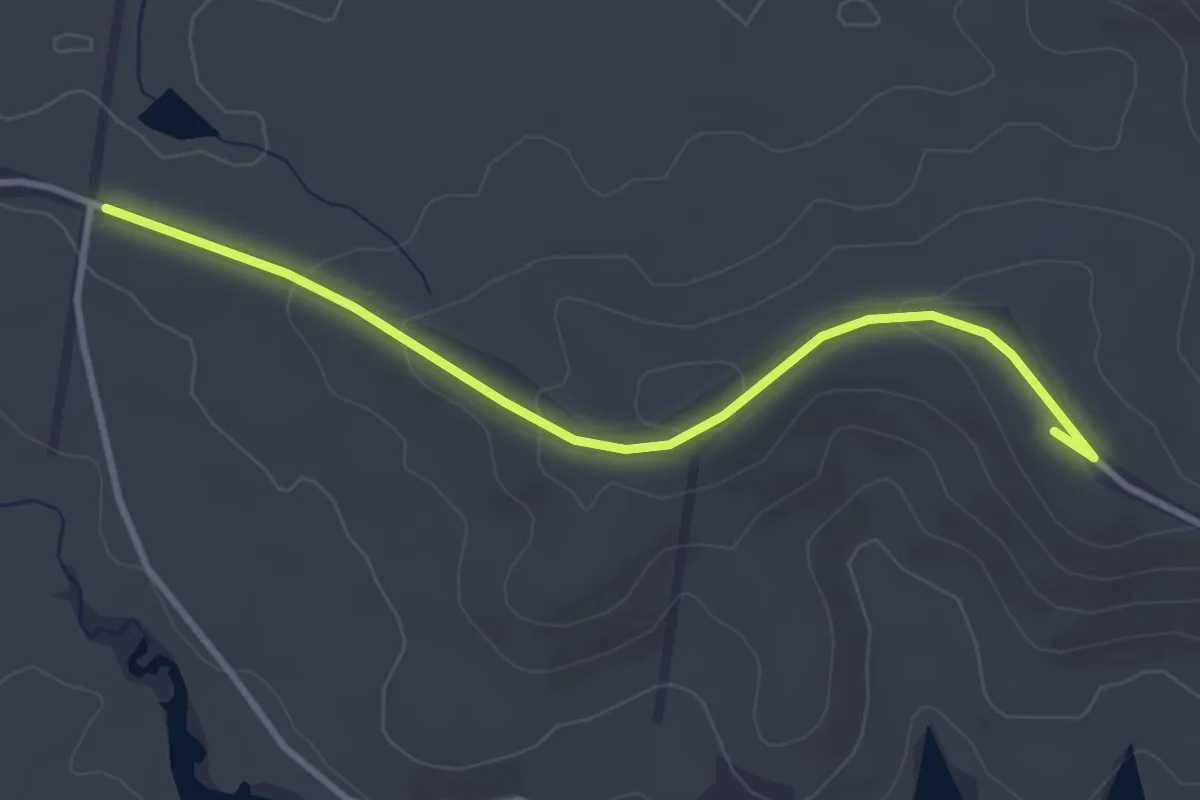
Easy · Summit
Black Trail
4.5 km · ↑ 112 m · 1 h 18 min
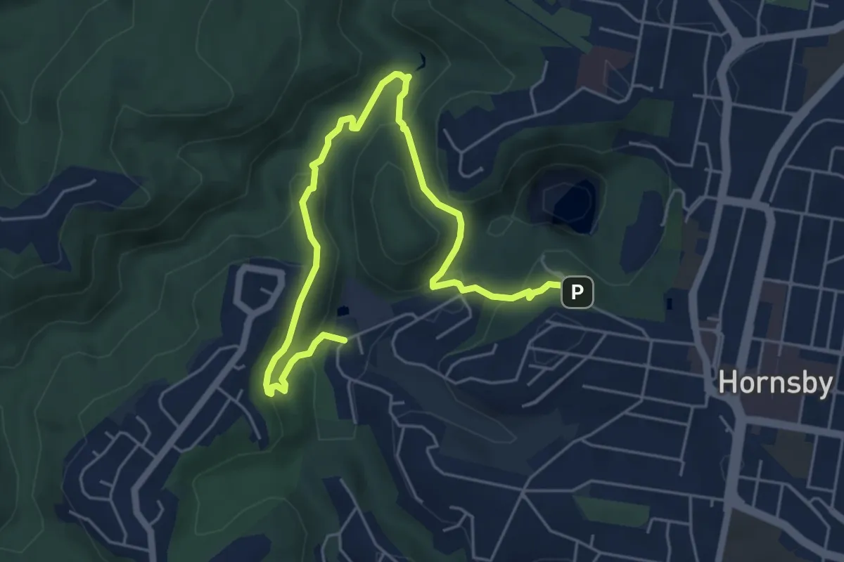
Medium · Trail
Blue Gum Walk
7.9 km · ↑ 413 m · 2 h 45 min
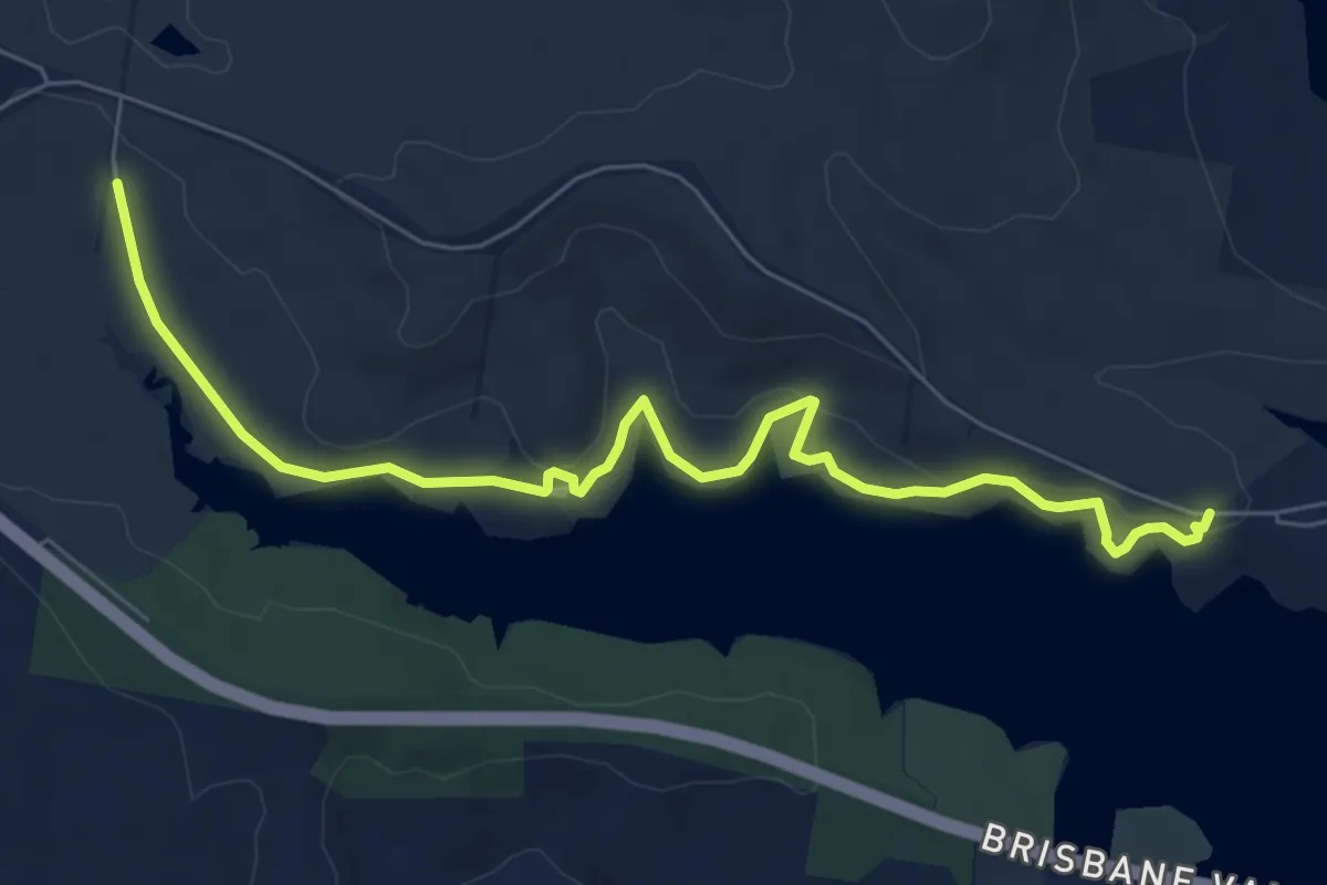
Medium · Trail
Blue Trail
9.8 km · ↑ 184 m · 2 h 42 min
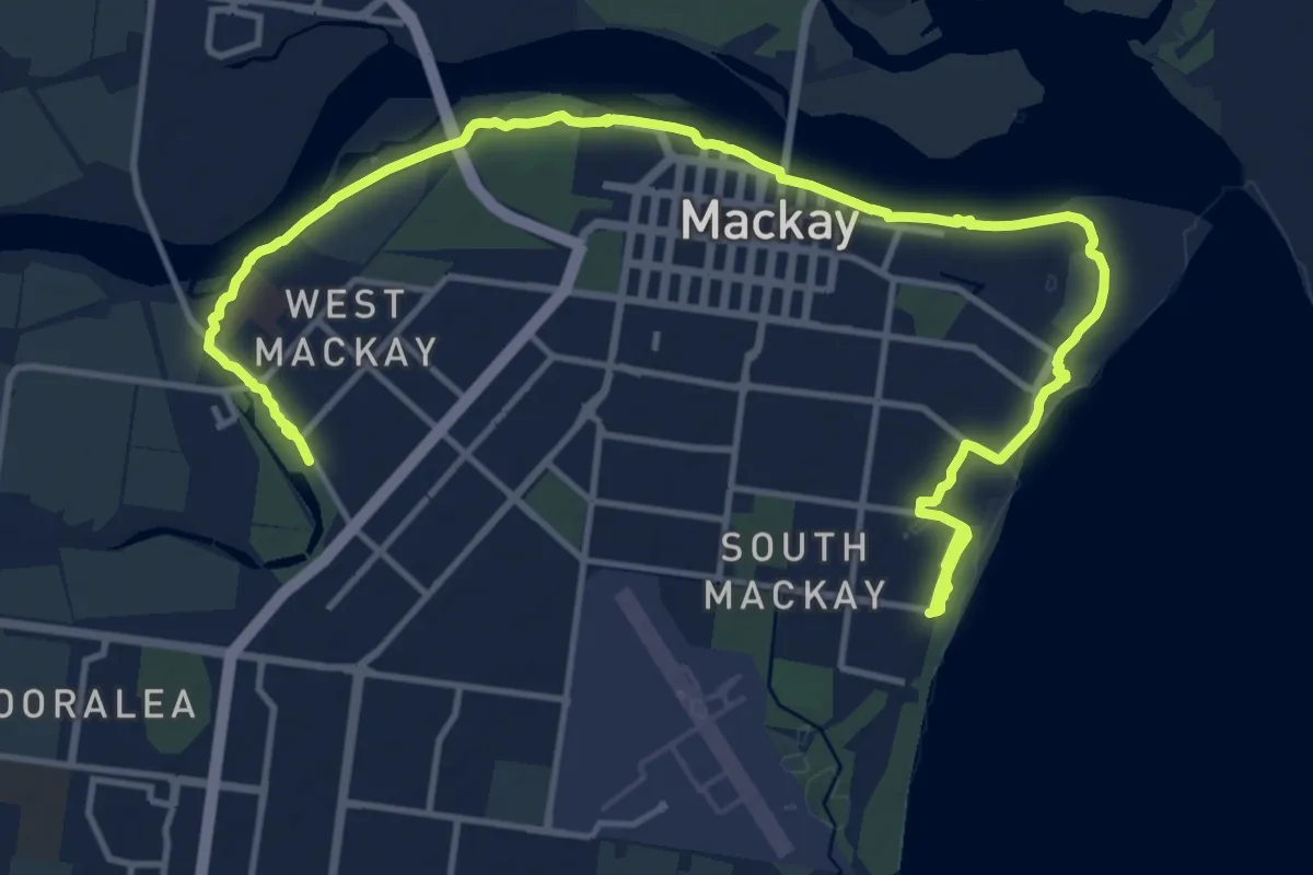
Demanding · Trail
Bluewater Trail
24.2 km · ↑ 96 m · 5 h 56 min
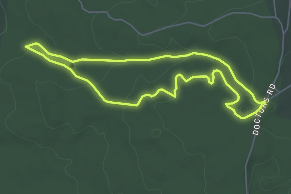
Easy · Trail
Boden's Water Races Loop
4.7 km · ↑ 69 m · 1 h 19 min
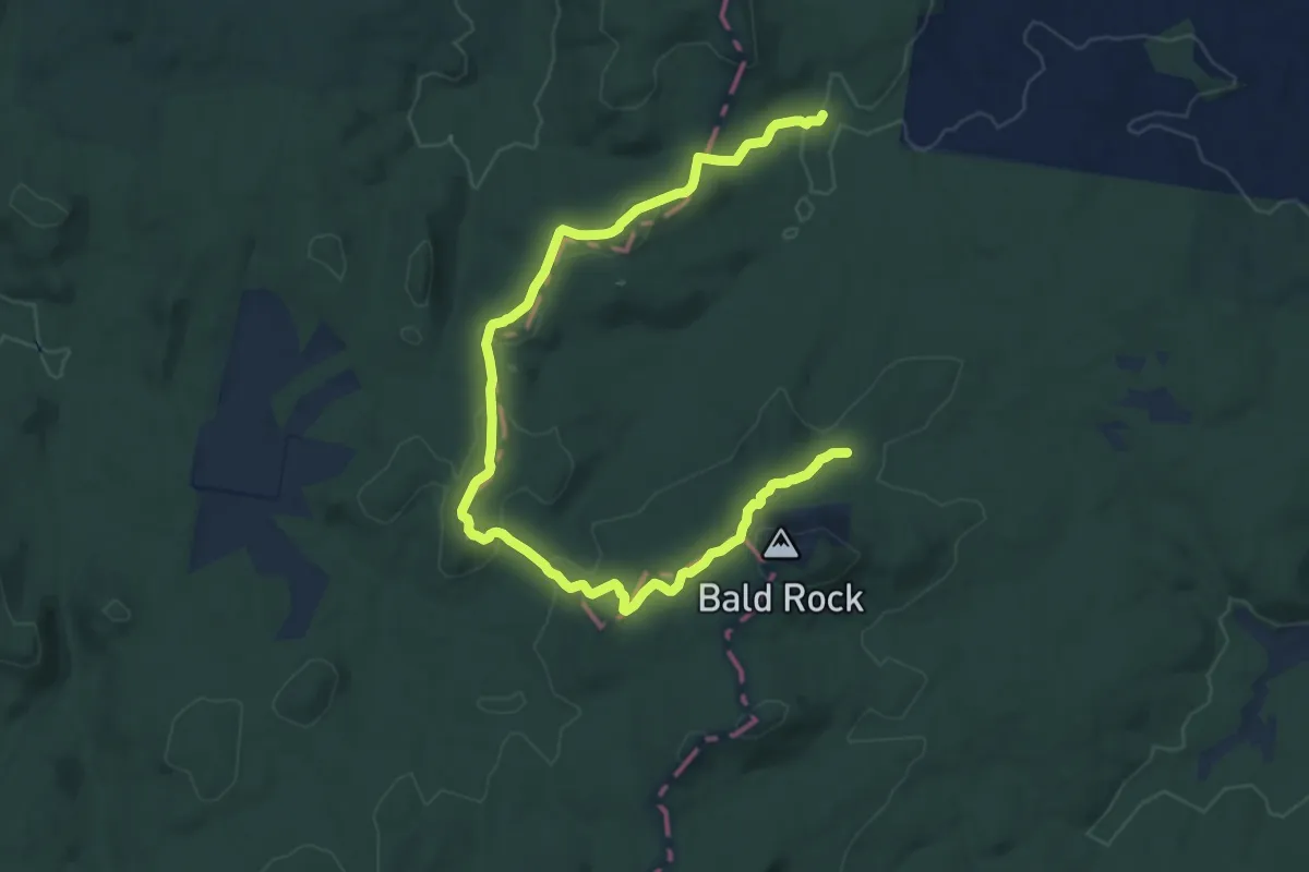
Demanding · Trail
Border Walk
18.2 km · ↑ 461 m · 5 h 17 min
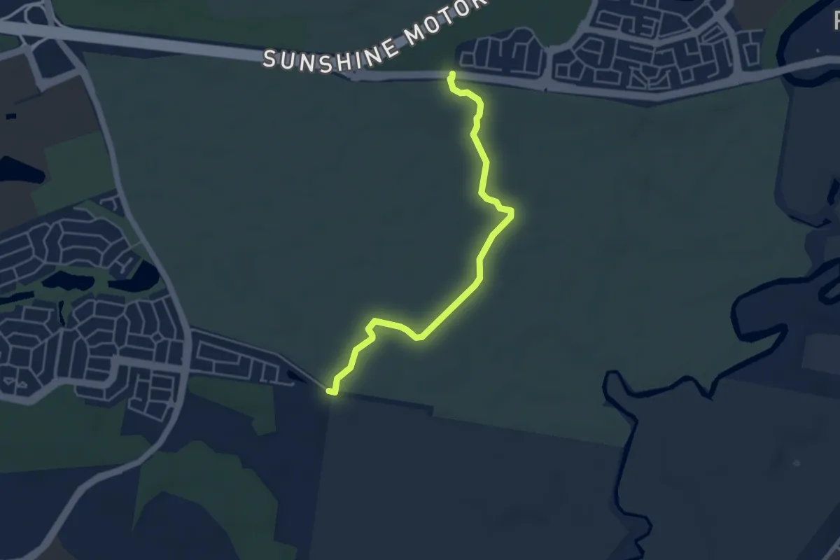
Easy · Trail
Boronia Trail
5.7 km · ↑ 44 m · 1 h 27 min
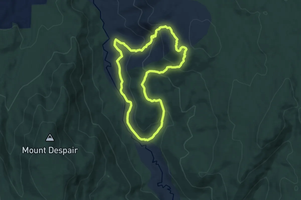
Medium · Trail
Boroondara Track Circuit
10.2 km · ↑ 503 m · 3 h 36 min
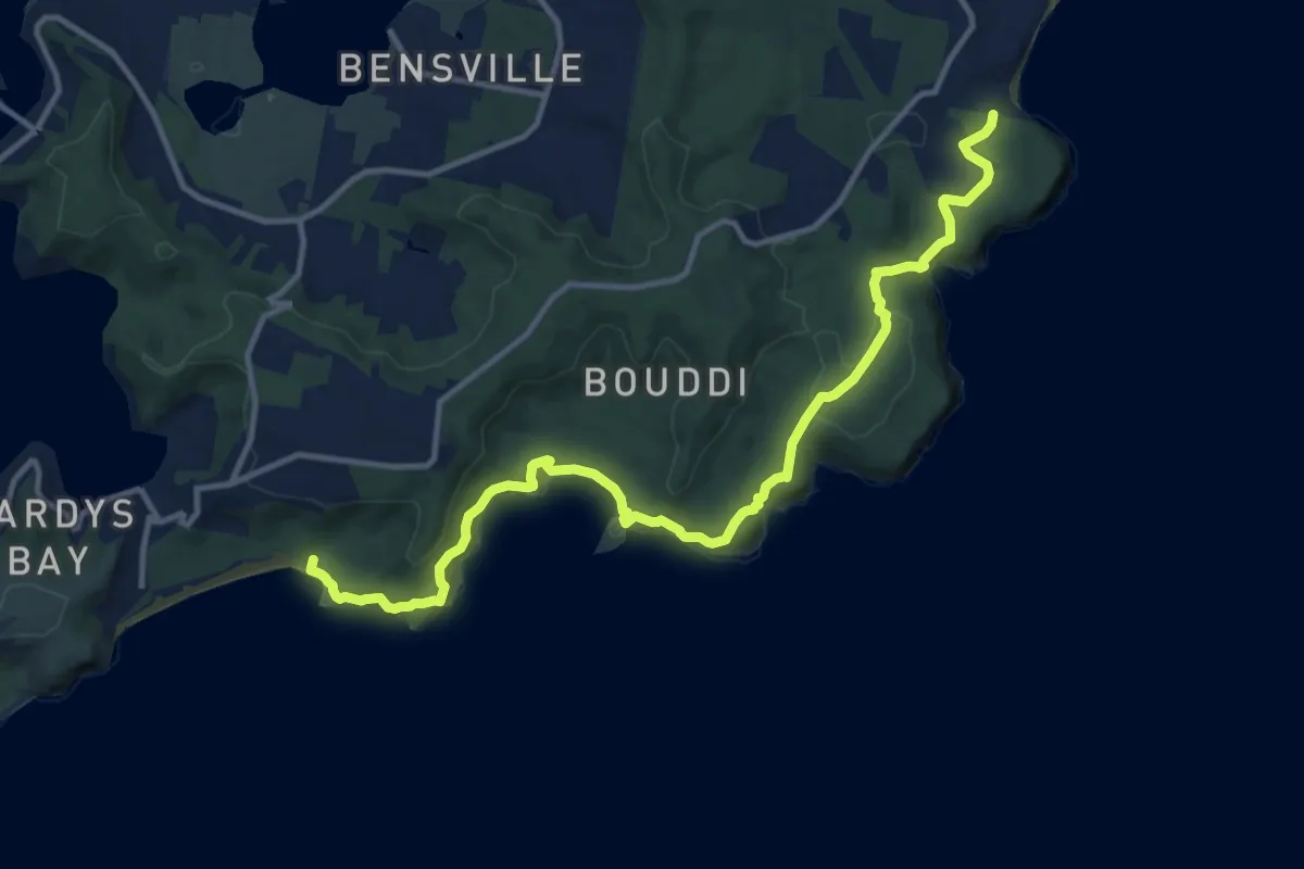
Medium · Trail
Bouddi Coastal Walk
16.8 km · ↑ 728 m · 5 h 33 min
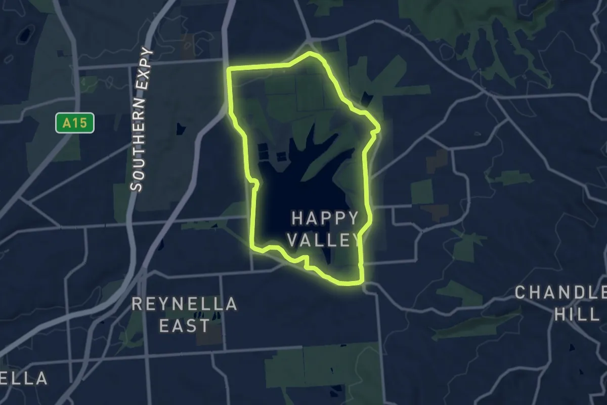
Medium · Trail
Boundary Loop
10.1 km · ↑ 95 m · 2 h 44 min