Trails in Australia
551 hiking trails, each with its route, climb, walking time and grade.
All trails, page 2 of 12
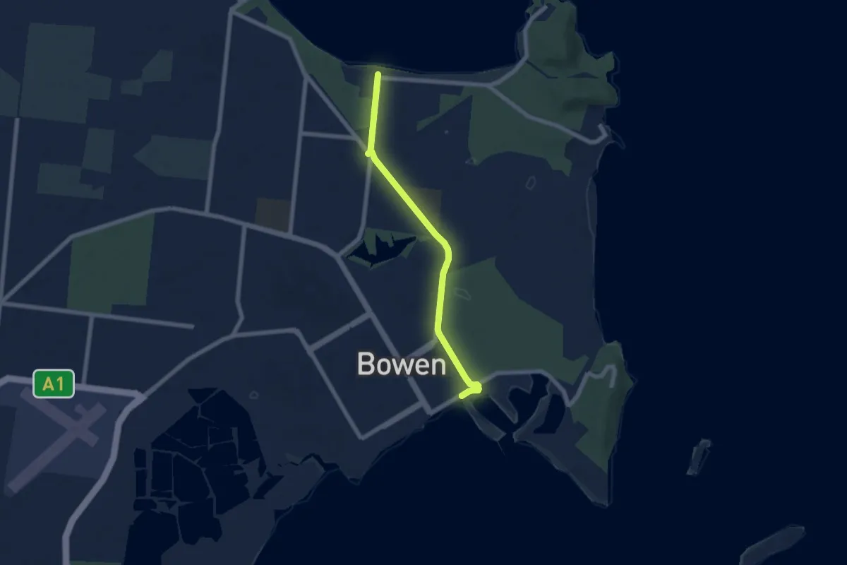
Easy · Trail
Bowen Foreshore to Queens Bay
7.7 km · ↑ 19 m · 1 h 52 min
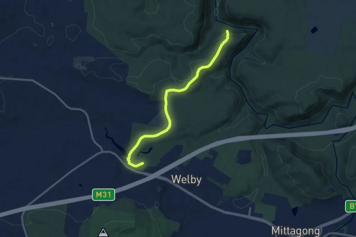
Medium · Trail
Box Vale Walking Track
8.5 km · ↑ 232 m · 2 h 30 min
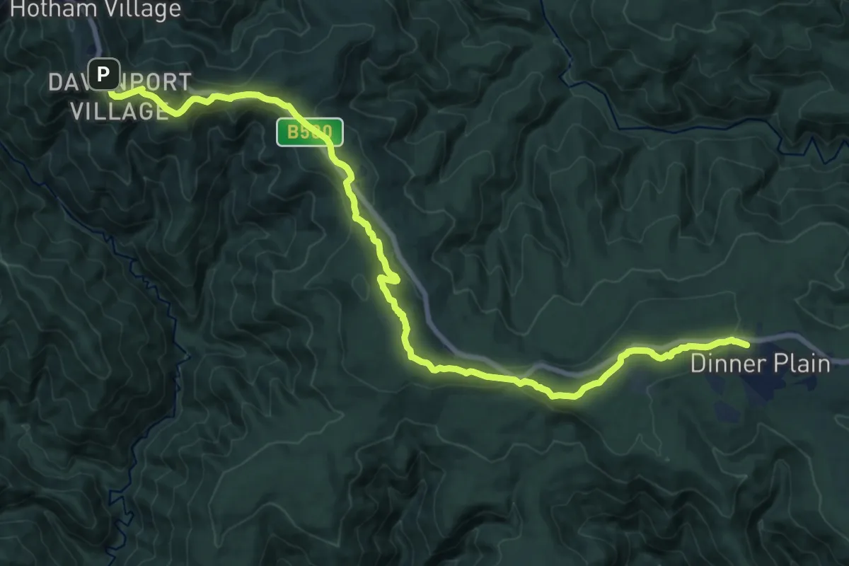
Demanding · Trail
Brabralung Trail
23.0 km · ↑ 532 m · 6 h 36 min
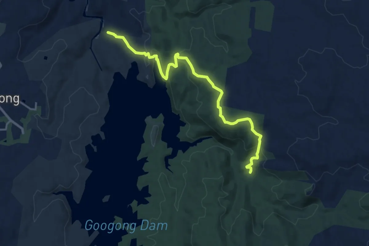
Medium · Trail
Bradleys Creek Walk
13.4 km · ↑ 561 m · 4 h 22 min
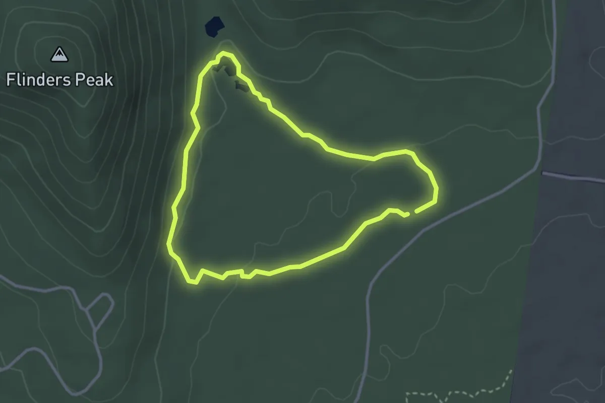
Easy · Trail
Branding Yard Walk
3.2 km · ↑ 48 m · 53 min
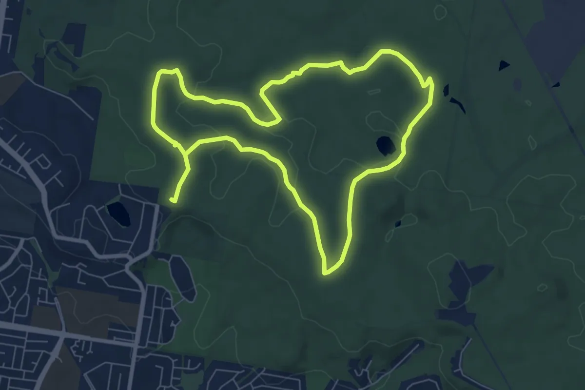
Medium · Trail
Buhot Creek Circuit
17.6 km · ↑ 259 m · 4 h 42 min
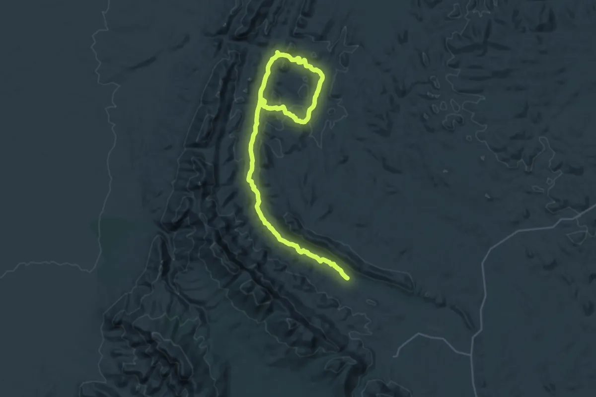
Demanding · Trail
Bunyeroo and Wilcolo Creeks Hike
19.5 km · ↑ 411 m · 5 h 39 min
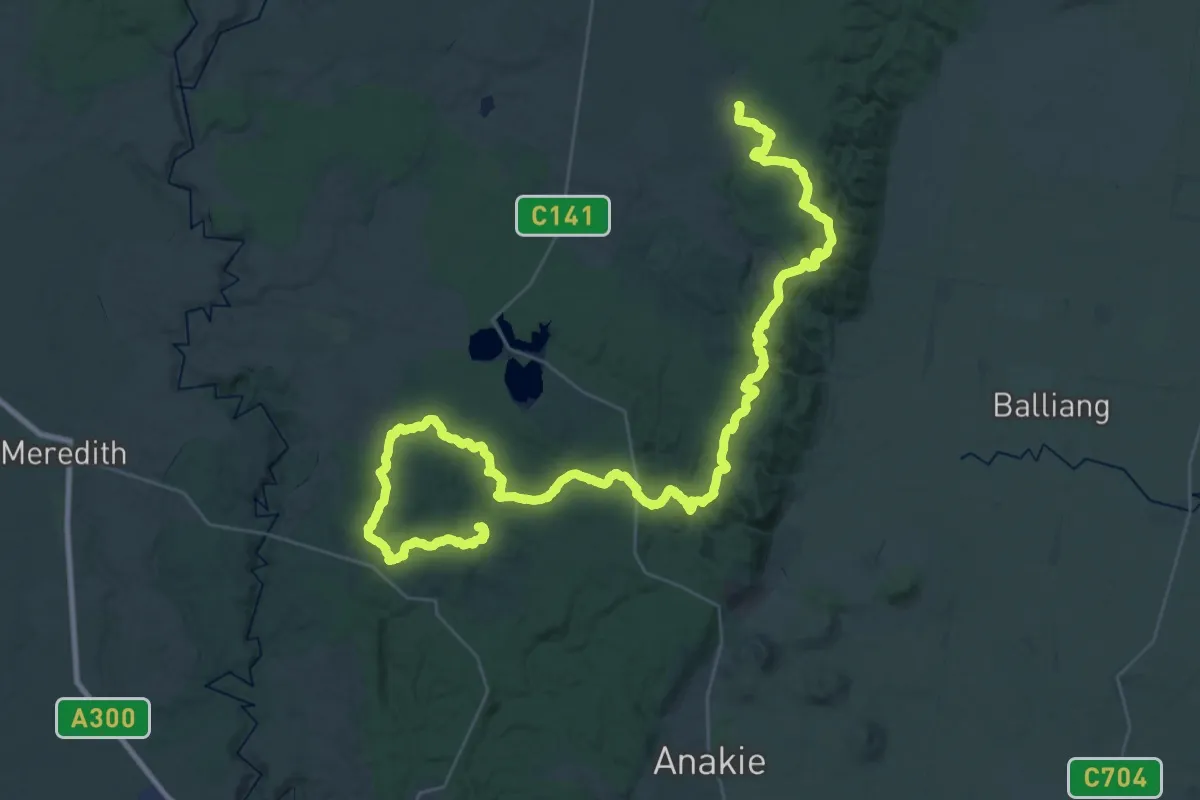
Demanding · Trail
Burchell Trail
33.2 km · ↑ 920 m · 10 h 15 min
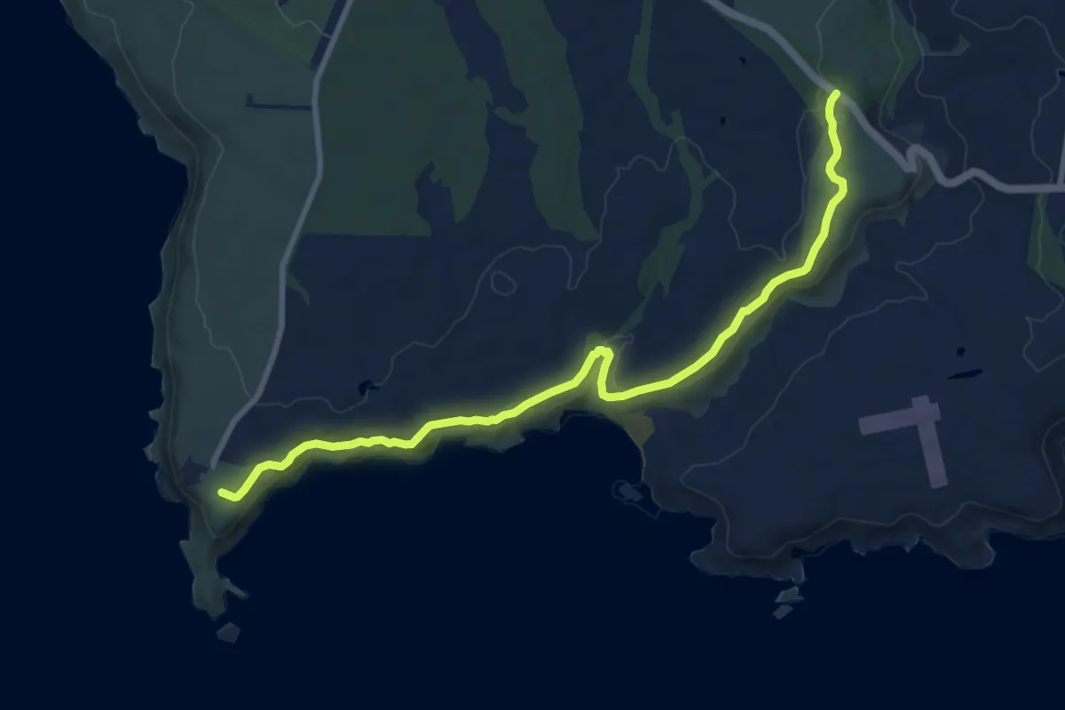
Medium · Trail
Bushrangers Bay Walking Track
10.5 km · ↑ 247 m · 3 h
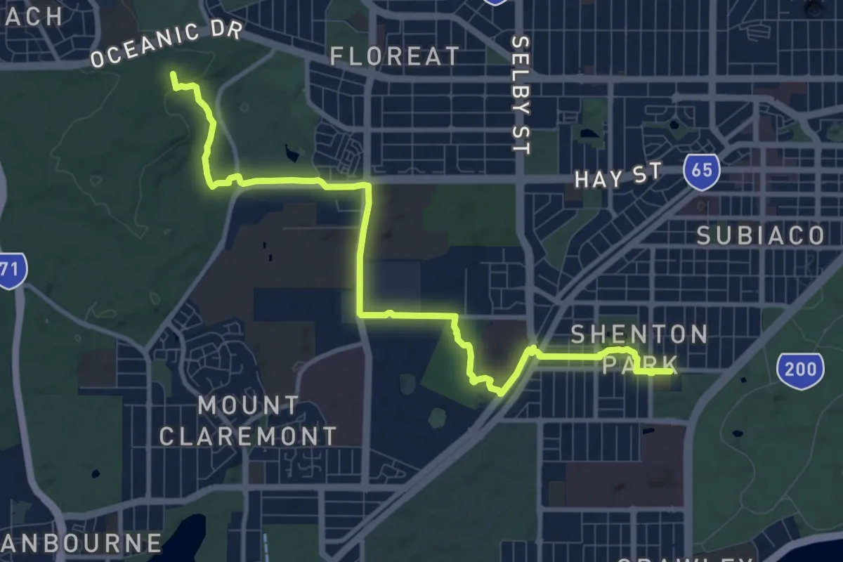
Medium · Summit
Bush to Beach
13.6 km · ↑ 243 m · 3 h 44 min
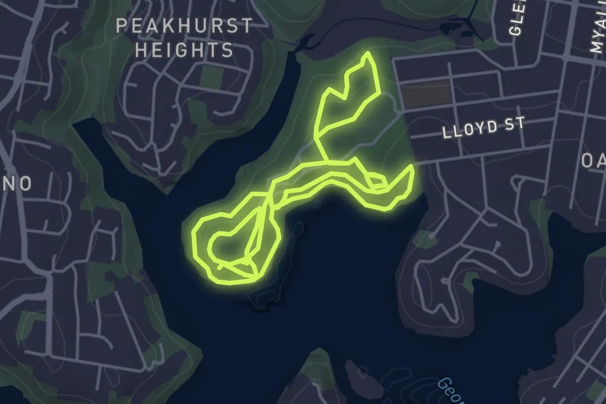
Medium · Trail
Bush walks of Oatley Park
12.8 km · ↑ 348 m · 3 h 47 min
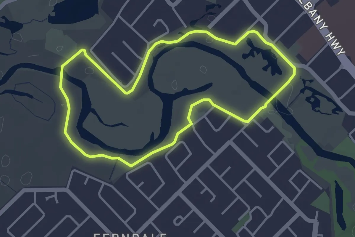
Easy · Trail
Butterflies, Bridges and Birds Loop Walk Trail
3.8 km · ↑ 44 m · 1 h 2 min
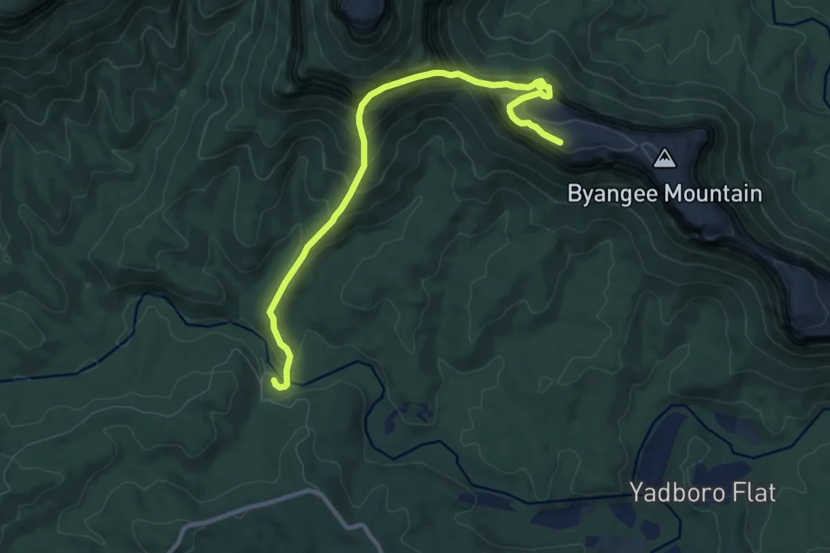
Demanding · Trail
Byangee Mountain Walking Track
10.0 km · ↑ 997 m · 4 h 31 min
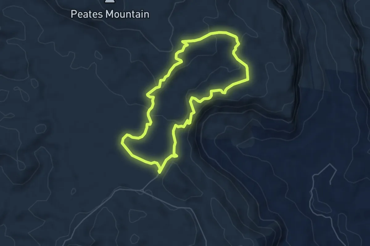
Easy · Trail
Byan Yangala Loop
6.3 km · ↑ 175 m · 1 h 57 min
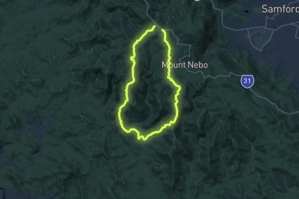
Medium · Trail
Cabbage Tree Range Loop
16.0 km · ↑ 783 m · 5 h 41 min
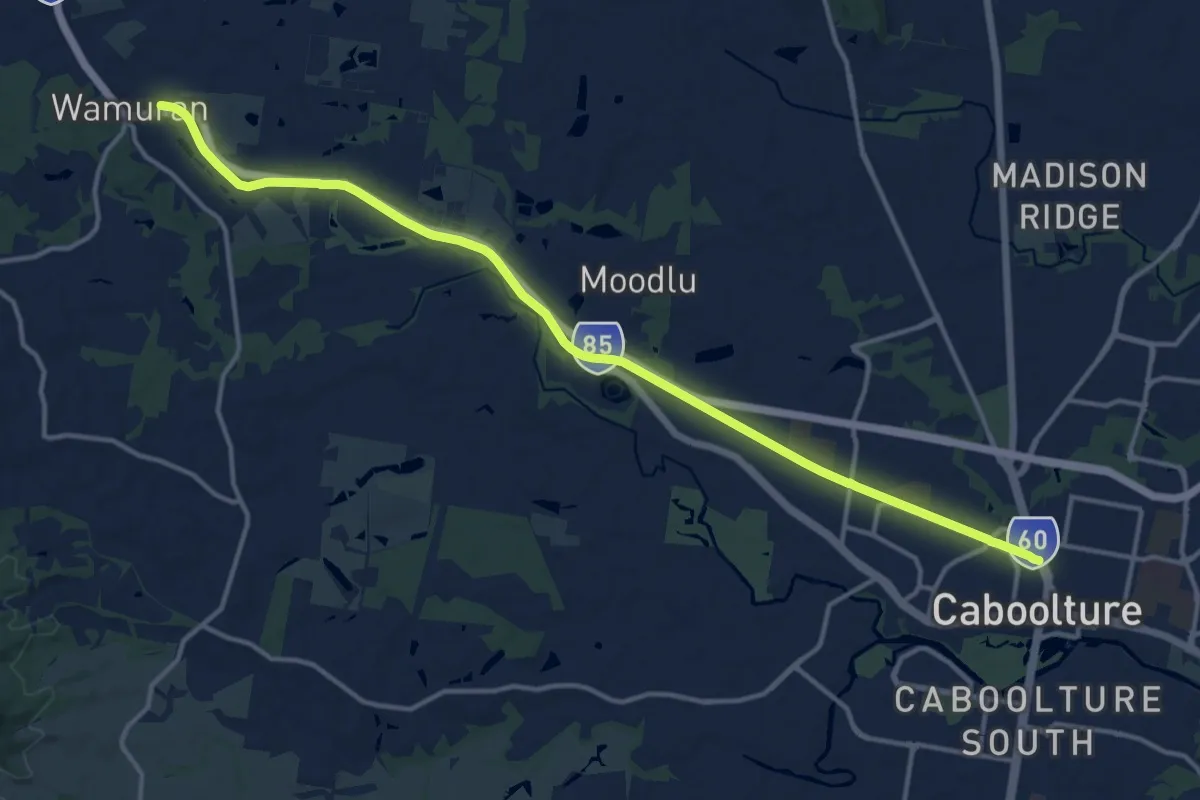
Demanding · Trail
Caboolture - Wamuran Rail Trail
20.3 km · ↑ 104 m · 5 h 1 min
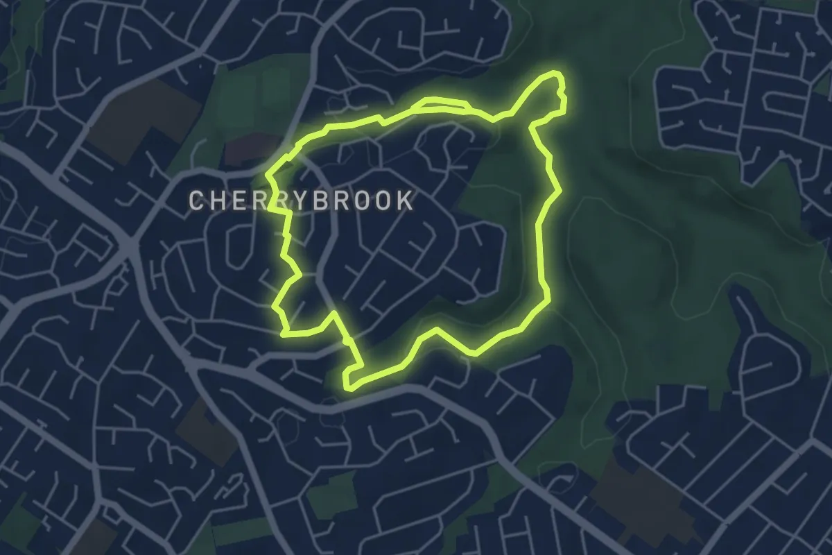
Medium · Trail
Callicoma Walk
10.5 km · ↑ 223 m · 2 h 57 min
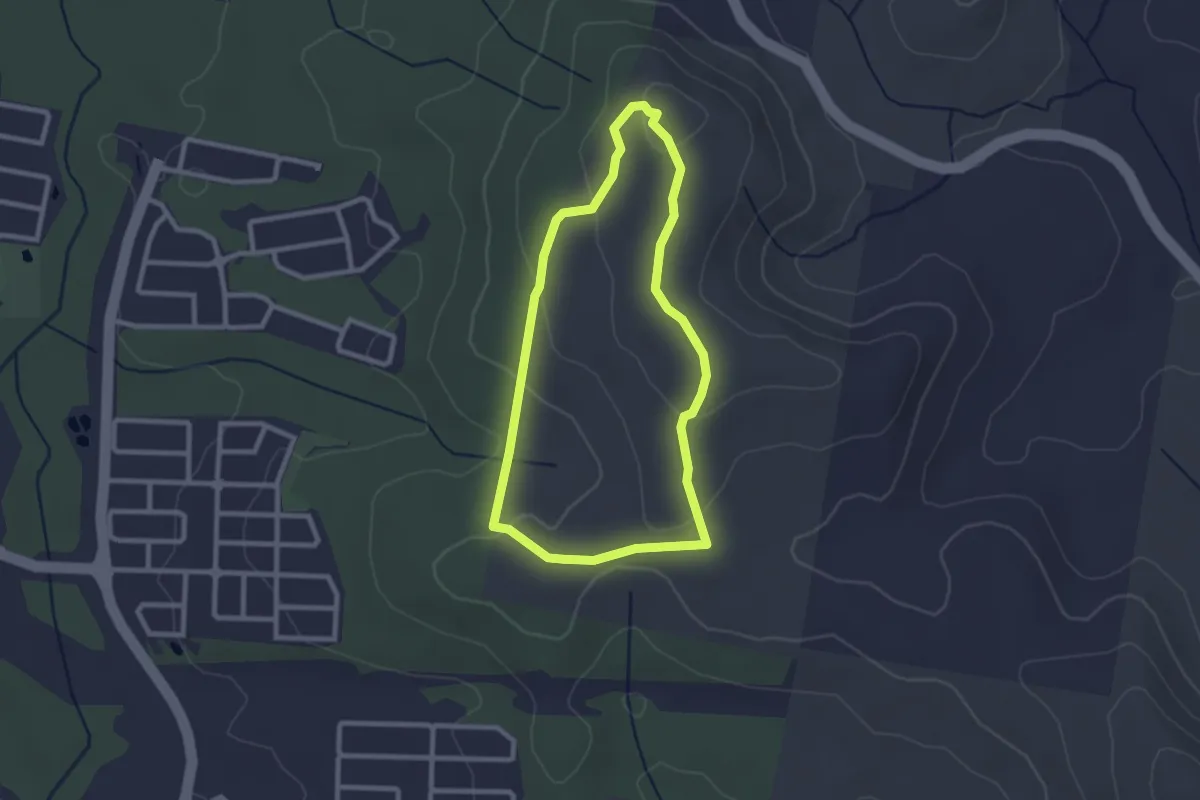
Easy · Trail
Calytrix Circuit
3.0 km · ↑ 89 m · 56 min
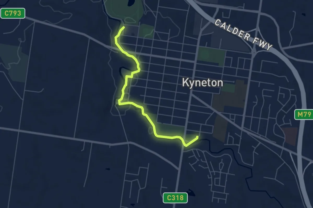
Easy · Trail
Campaspe River Walk
6.3 km · ↑ 33 m · 1 h 33 min
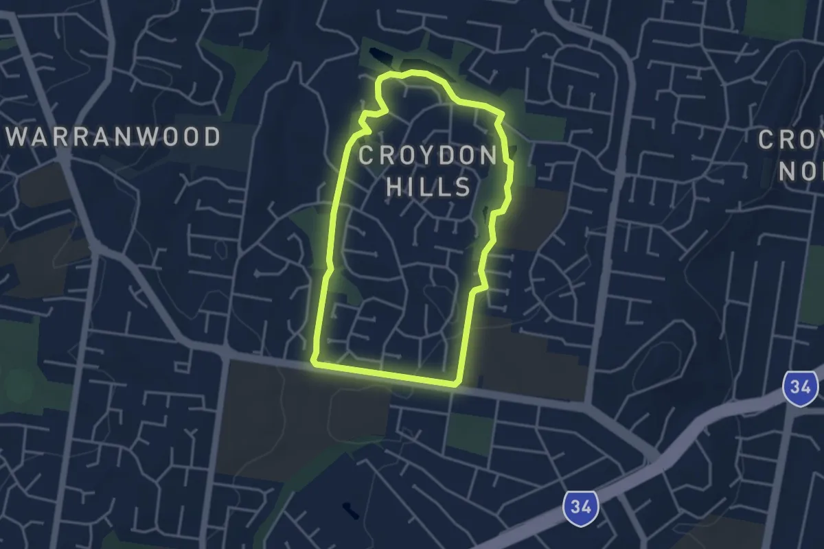
Easy · Trail
Candlebark Walking Route
3.9 km · ↑ 50 m · 1 h 5 min
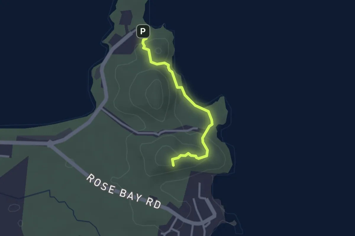
Easy · Summit
Cape Edgecumbe Walking Trail
3.1 km · ↑ 123 m · 1 h
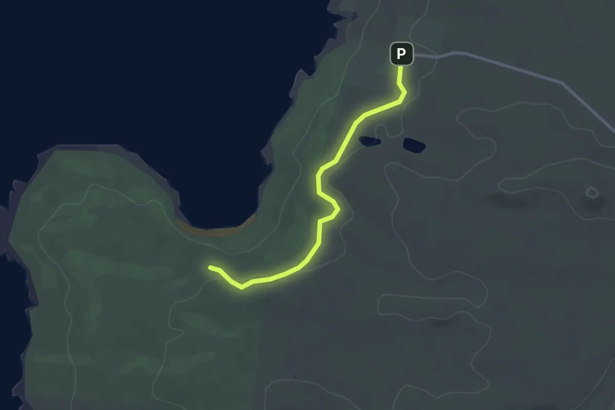
Easy · Trail
Cape Wickham to Victoria Cove
2.9 km · ↑ 16 m · 43 min
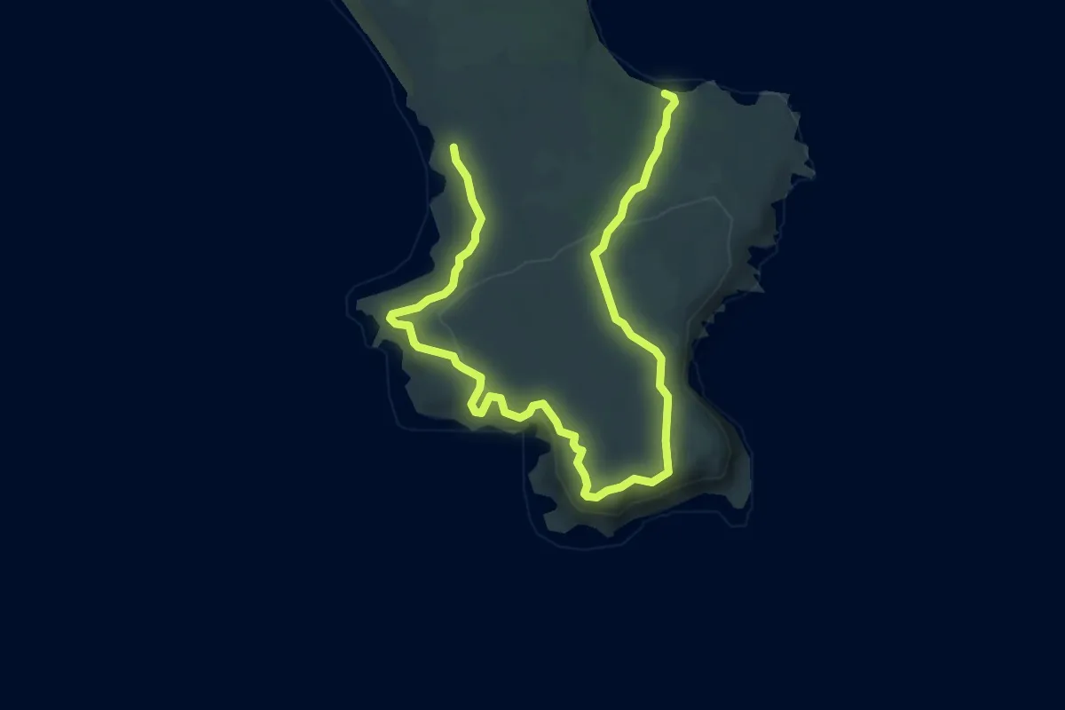
Medium · Trail
Cape Woolamai Circuit
9.5 km · ↑ 275 m · 2 h 51 min
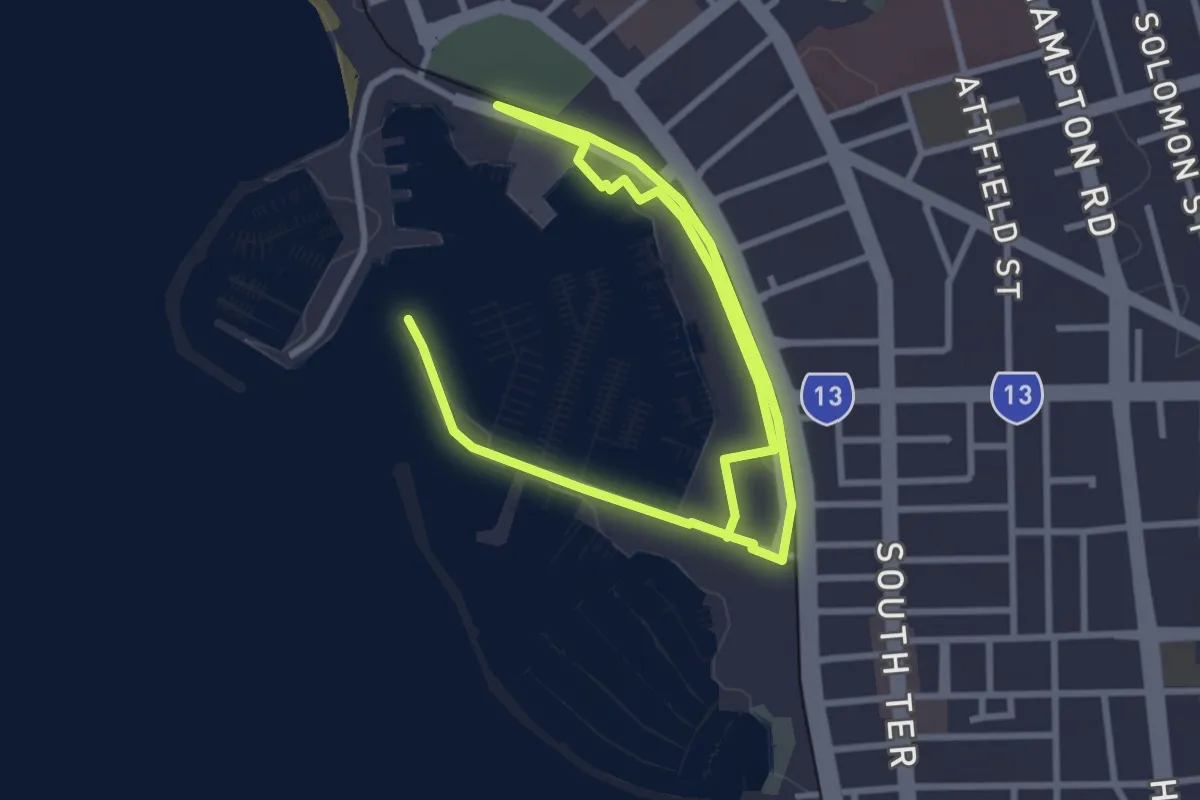
Easy · Trail
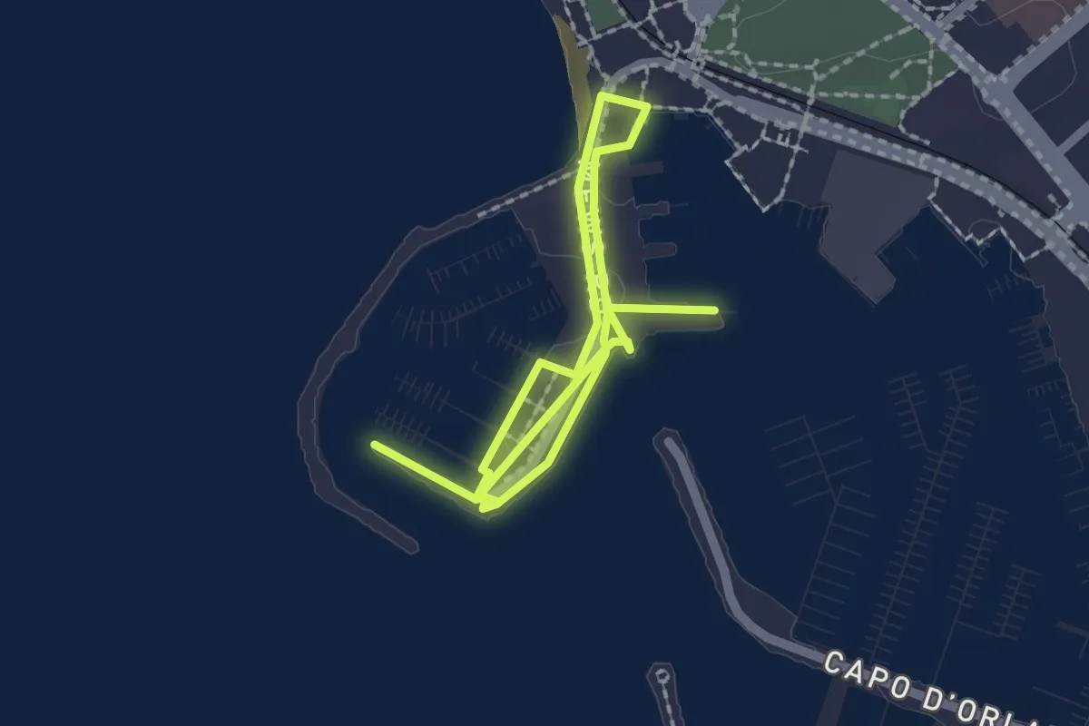
Capo d'Orlando Marine Trail
6.4 km · ↑ 22 m · 1 h 34 min
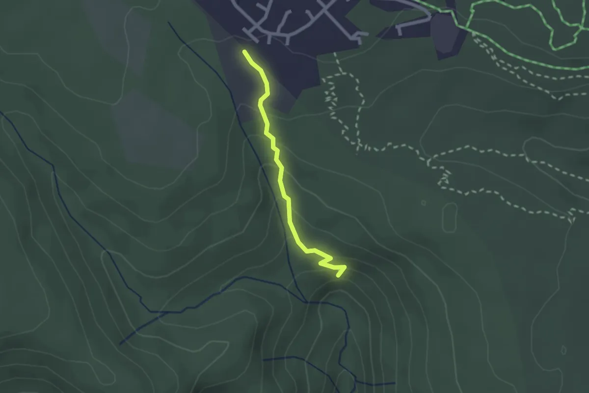
Medium · Trail
Carmichael Falls Walk
2.1 km · ↑ 133 m · 47 min
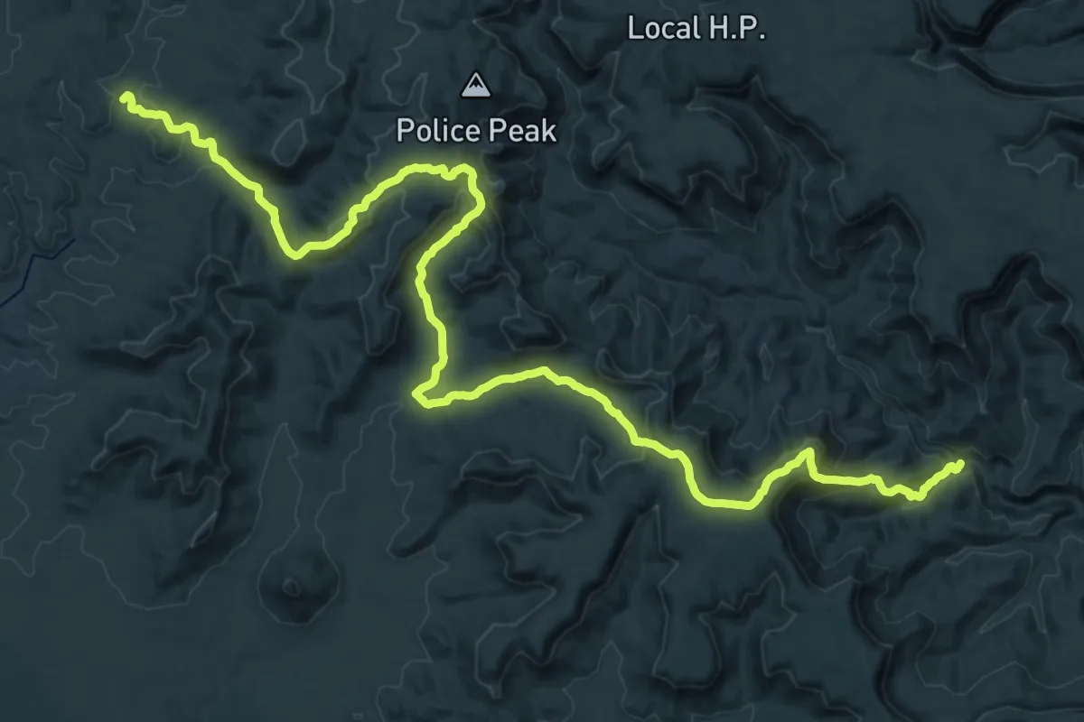
Expert · Trail
Carnarvon Great Walk
29.0 km · ↑ 1071 m · 9 h 26 min
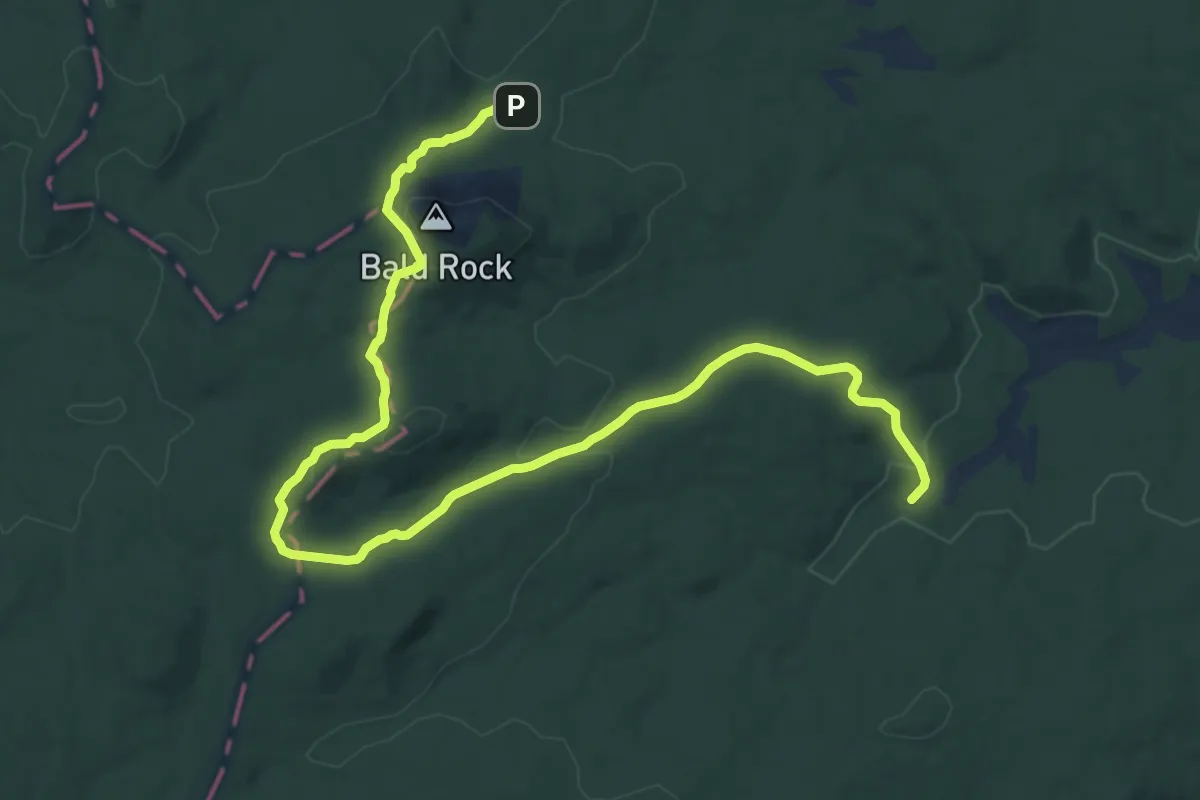
Demanding · Trail
Carrolls Creek Walk
18.3 km · ↑ 418 m · 5 h 13 min
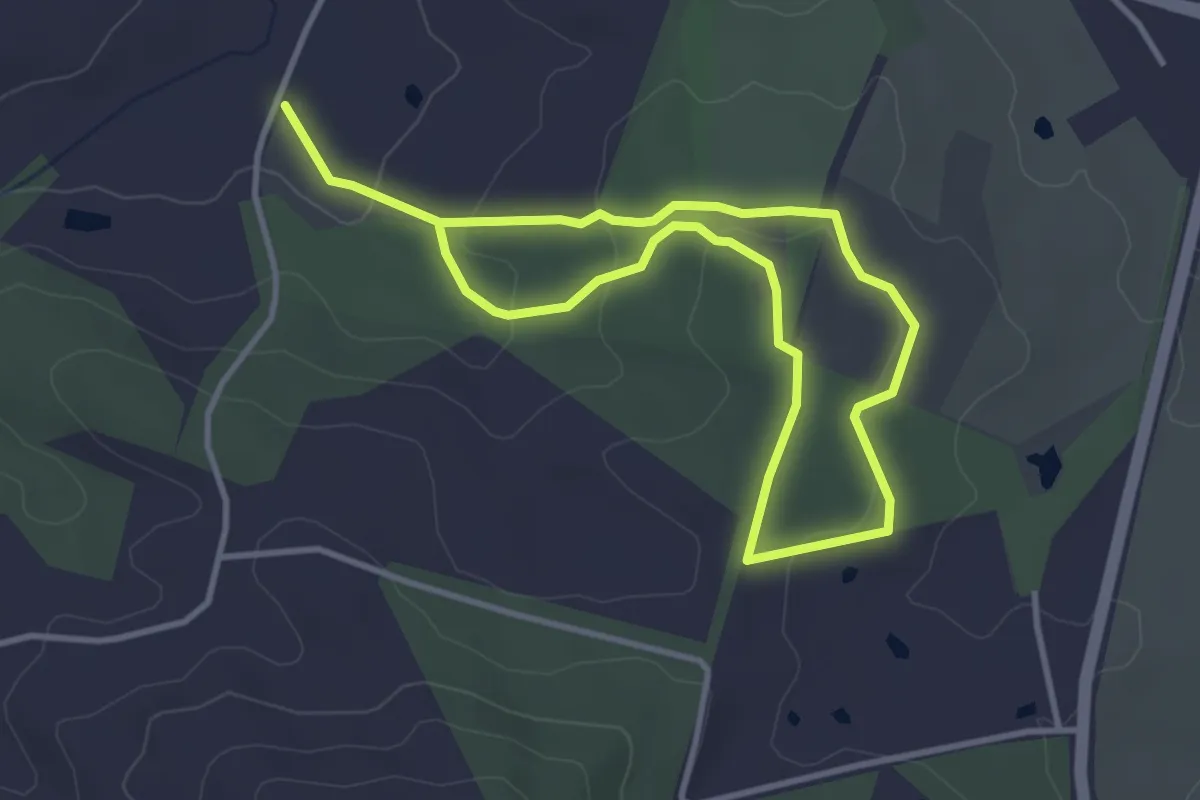
Easy · Trail
Castle Creek Nature Trail
7.0 km · ↑ 158 m · 1 h 59 min
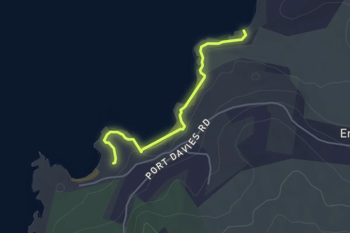
Easy · Trail
Castle Rock Track
3.8 km · ↑ 51 m · 1 h
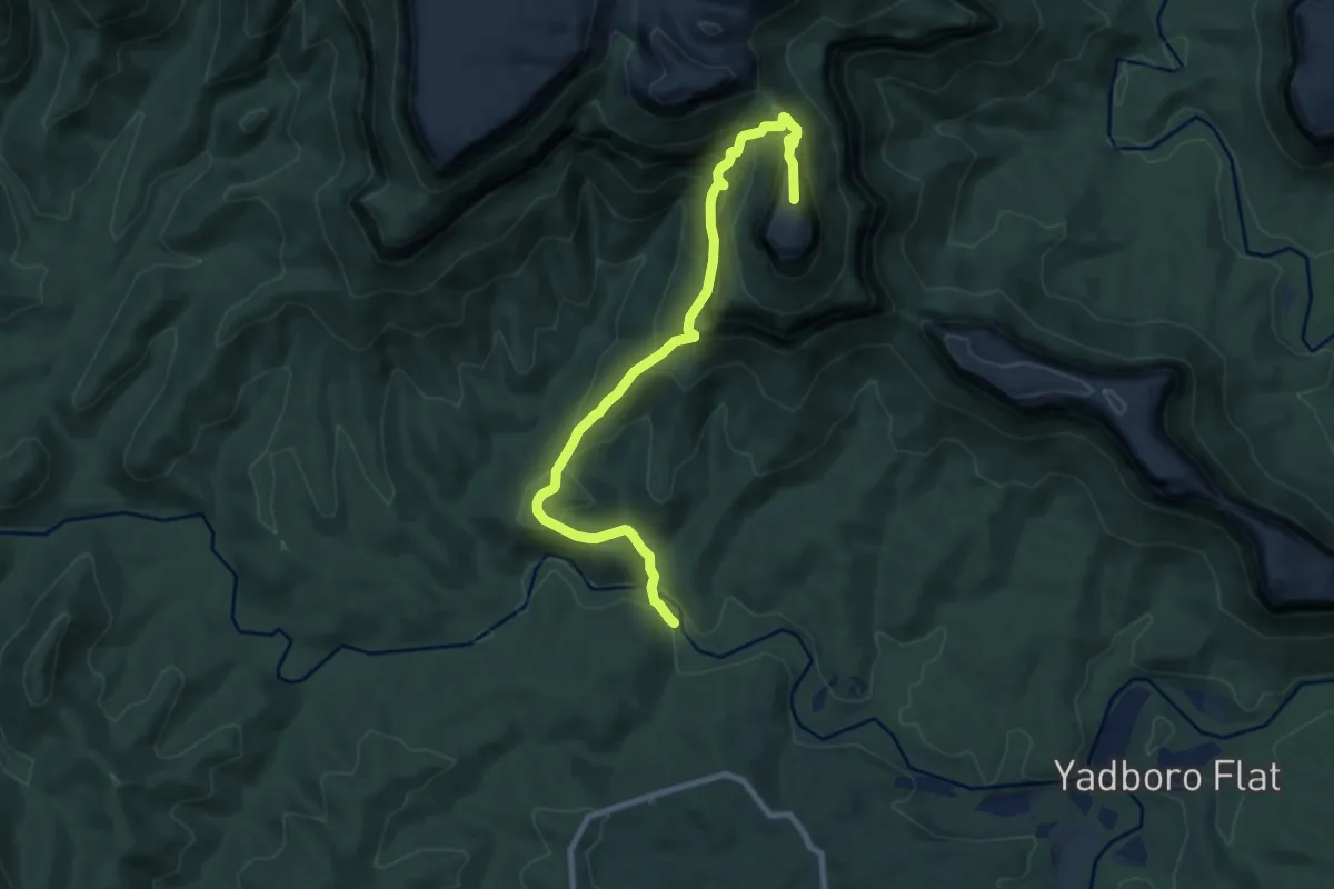
Demanding · Summit
Castle Walking Track
11.4 km · ↑ 1079 m · 5 h 2 min
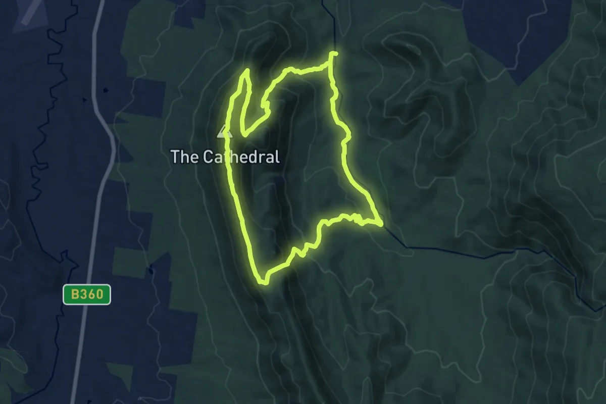
Medium · Summit
Cathedral Range Northern Circuit
12.6 km · ↑ 688 m · 4 h 38 min
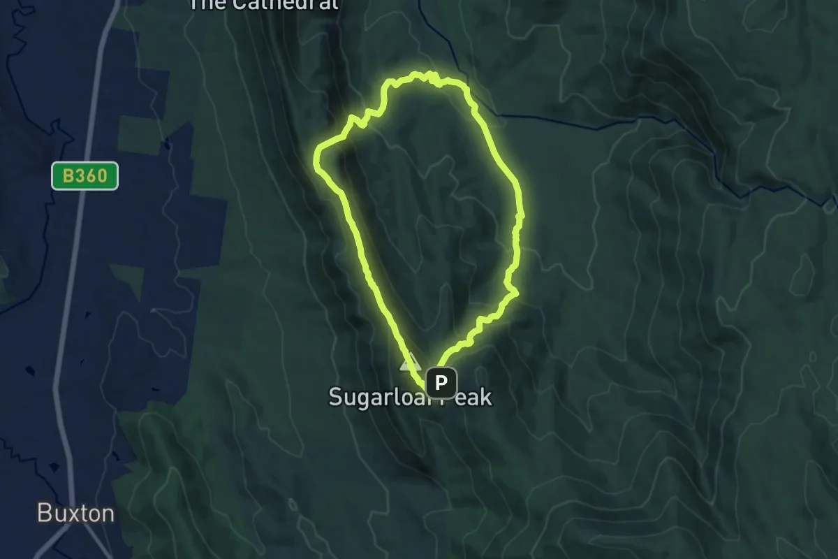
Medium · Summit
Cathedral Range Southern Circuit
10.5 km · ↑ 592 m · 3 h 55 min
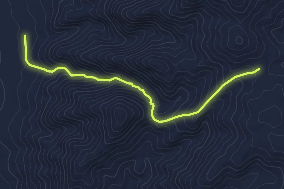
Medium · Trail
Catninga Homestead Trail
6.9 km · ↑ 397 m · 2 h 29 min
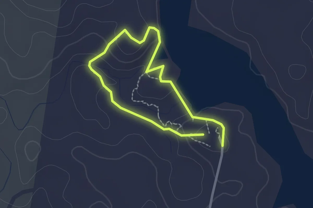
Easy · Trail
Cedar Walk
2.1 km · ↑ 75 m · 41 min
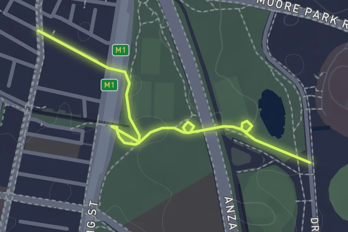
Easy · Trail
Central to Moore Park
2.7 km · ↑ 28 m · 42 min
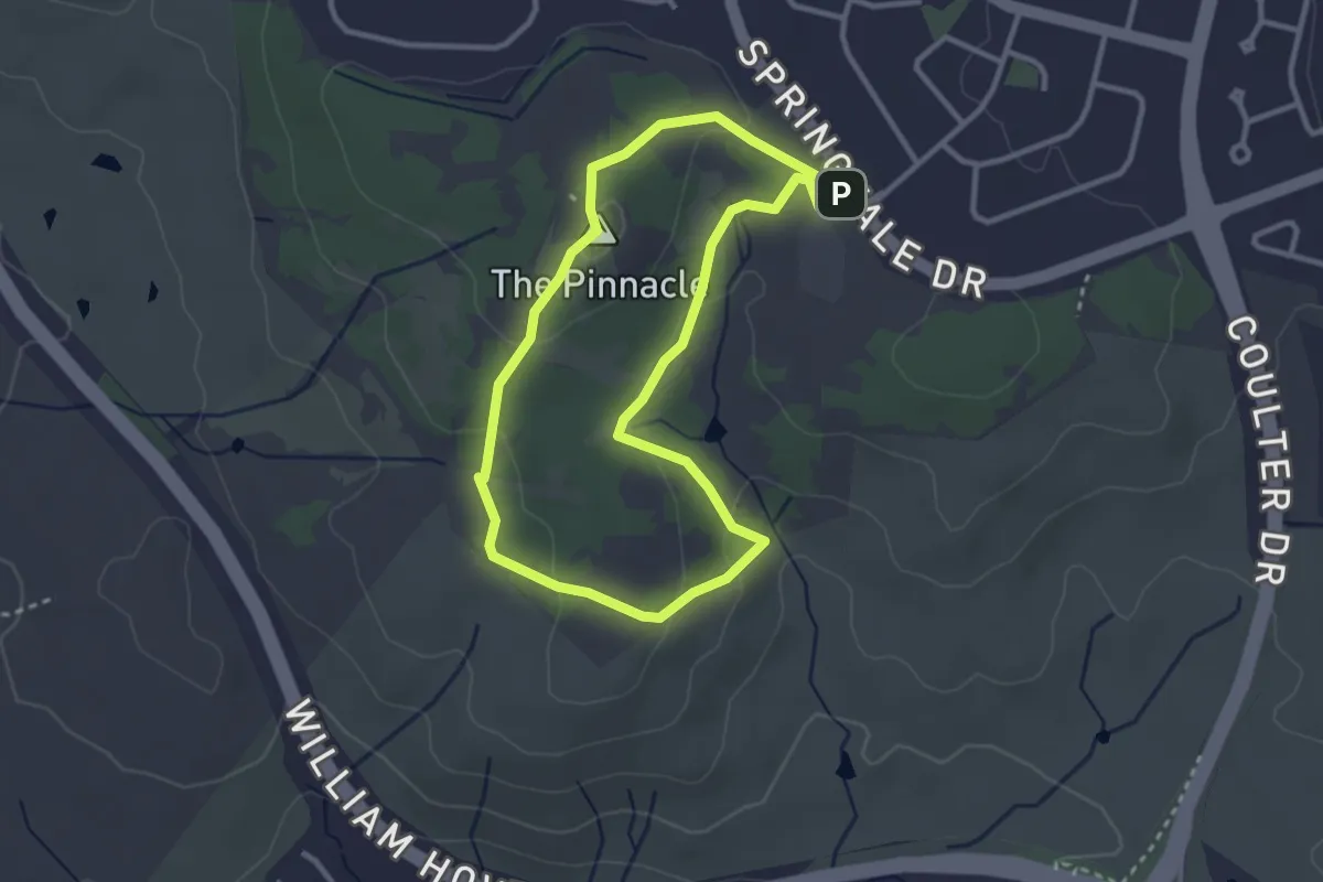
Easy · Summit
Central-Valley Loop
3.3 km · ↑ 94 m · 1 h 2 min
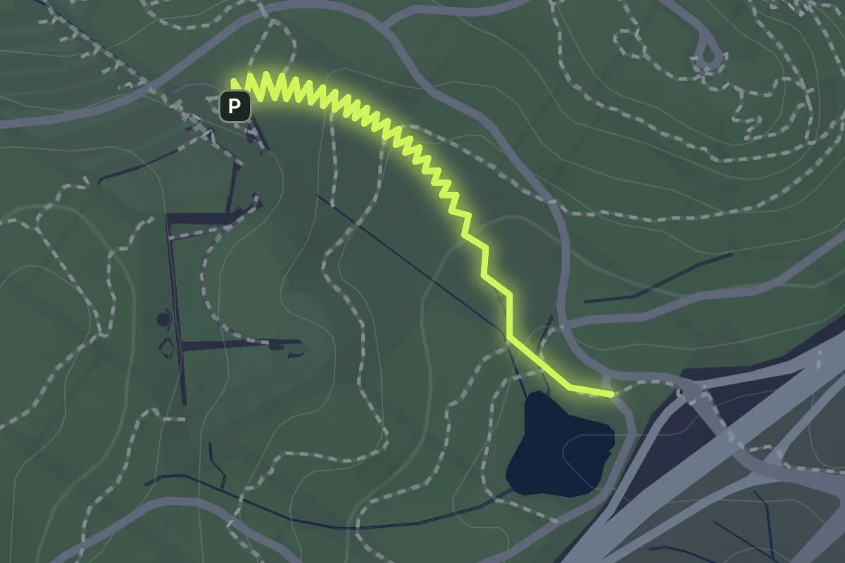
Easy · Trail
Central Valley Path
2.5 km · ↑ 41 m · 41 min
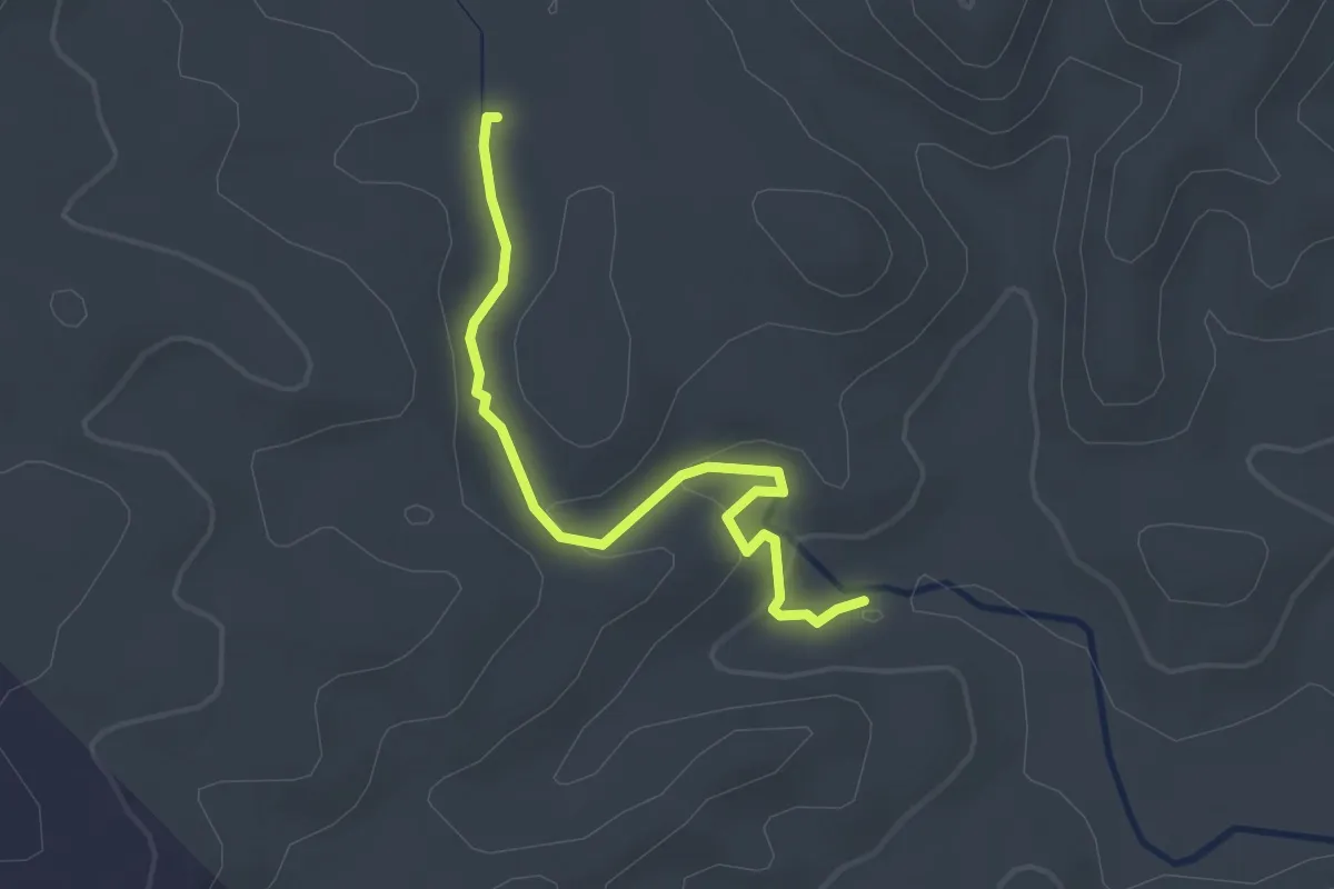
Easy · Trail
Chain of Ponds Walk
3.3 km · ↑ 100 m · 1 h
Easy · Trail
Challenger Cray Trail
3.8 km · ↑ 20 m · 57 min
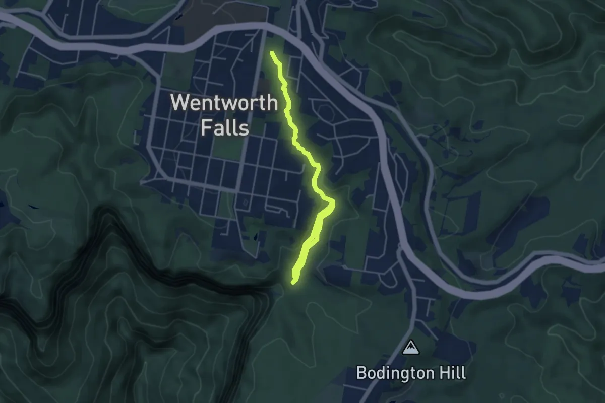
Easy · Trail
Charles Darwin Walk
5.7 km · ↑ 88 m · 1 h 33 min
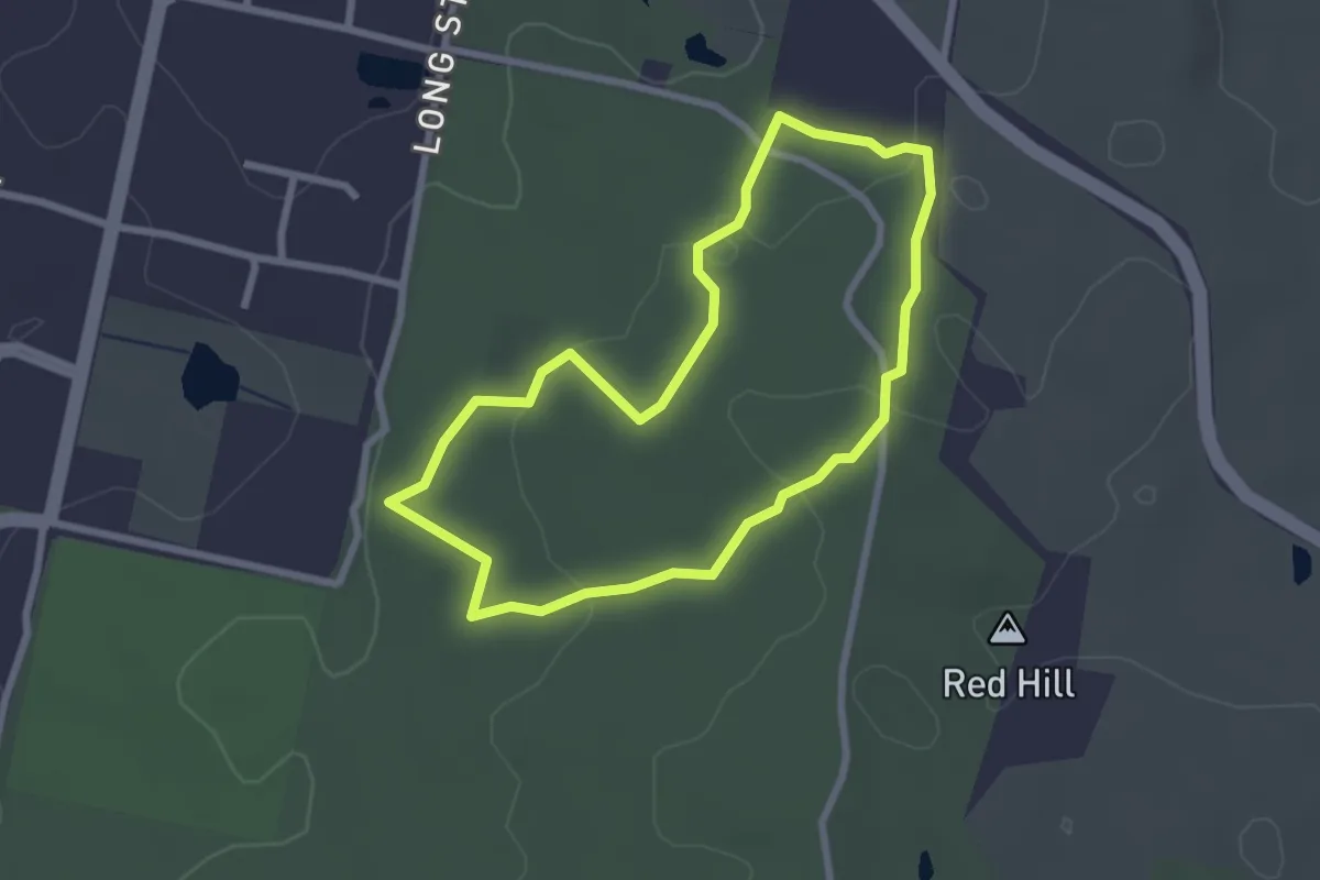
Easy · Trail
Cherry Ballarat Loop
2.8 km · ↑ 63 m · 50 min
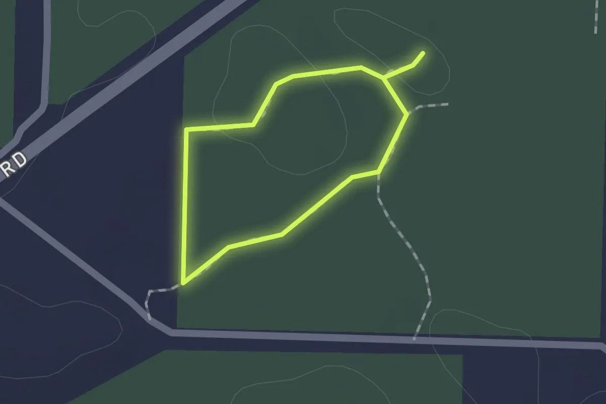
Easy · Trail
Chookarloo Walk
1.1 km · ↑ 12 m · 18 min
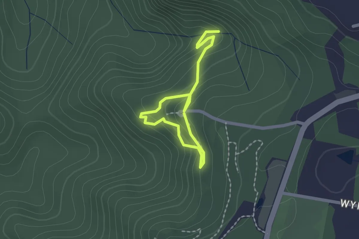
Medium · Trail
Circular Walk and Pheasants Cave
2.6 km · ↑ 161 m · 58 min
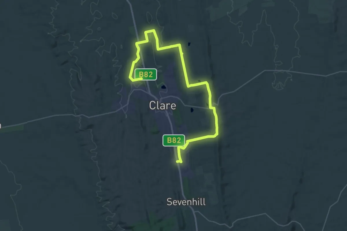
Demanding · Trail
Clare Valley Wine & Wilderness Trail - Stage 1
19.9 km · ↑ 357 m · 5 h 45 min
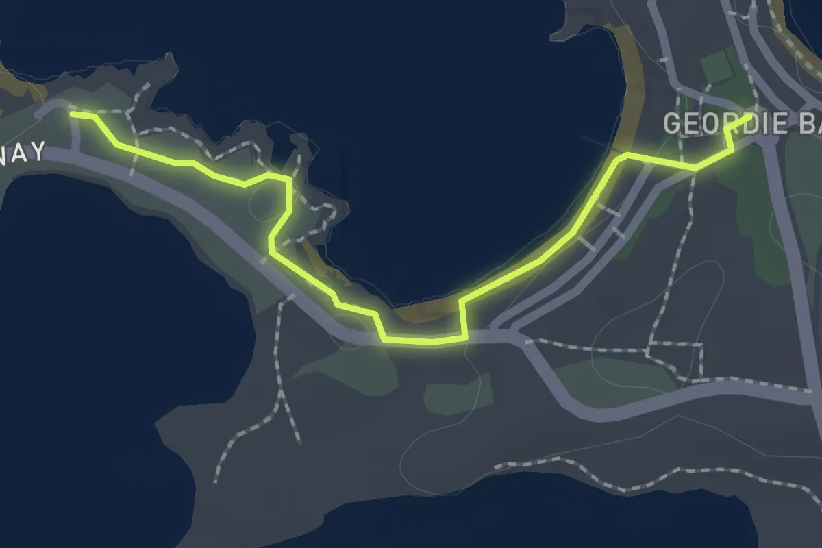
Easy · Trail
Clean Up Route 6 - Little Armstrong Bay to Geordie Bay
2.5 km · ↑ 16 m · 37 min
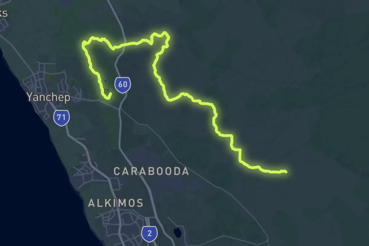
Demanding · Trail
Coastal Plain Walk Trail
32.1 km · ↑ 267 m · 8 h 35 min
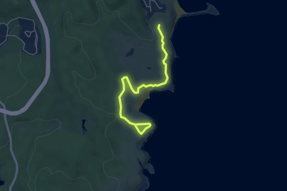
Easy · Trail
Coastal Walk
5.1 km · ↑ 111 m · 1 h 27 min
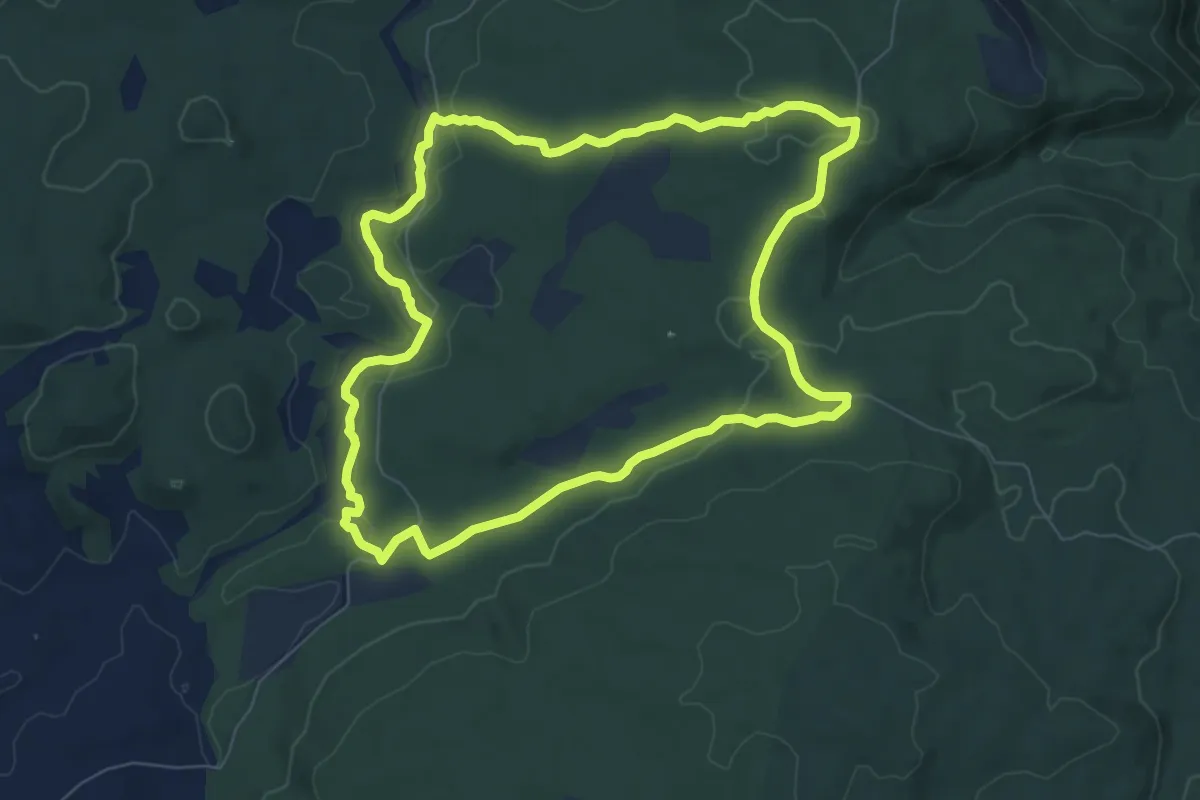
Medium · Trail
Cockatoo Walk
9.3 km · ↑ 146 m · 2 h 39 min