Trails in Australia
551 hiking trails, each with its route, climb, walking time and grade.
All trails, page 3 of 12
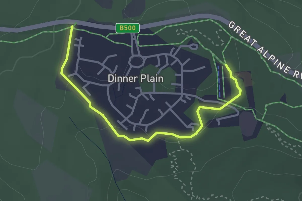
Easy · Trail
Collectors Cirque
3.6 km · ↑ 76 m · 1 h 1 min
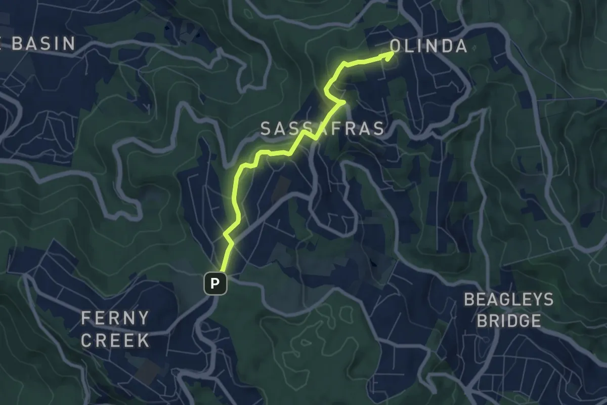
Easy · Summit
Community (ngurrak barring | RidgeWalk)
7.3 km · ↑ 305 m · 2 h 23 min
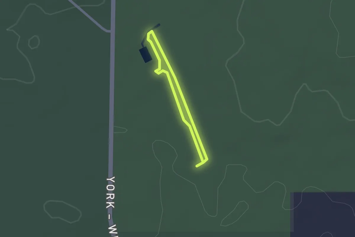
Easy · Trail
Congelin Siding Walk
1.5 km · ↑ 5 m · 22 min
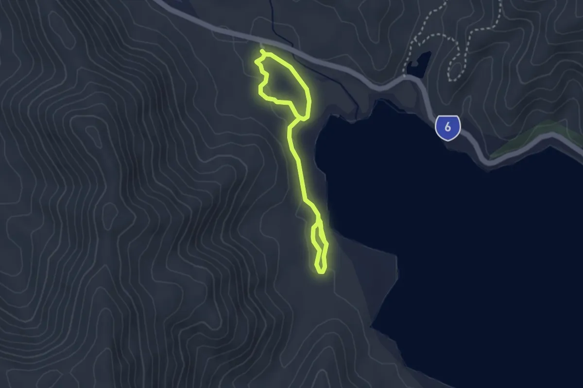
Easy · Trail
Conway Circuit
5.2 km · ↑ 58 m · 1 h 22 min
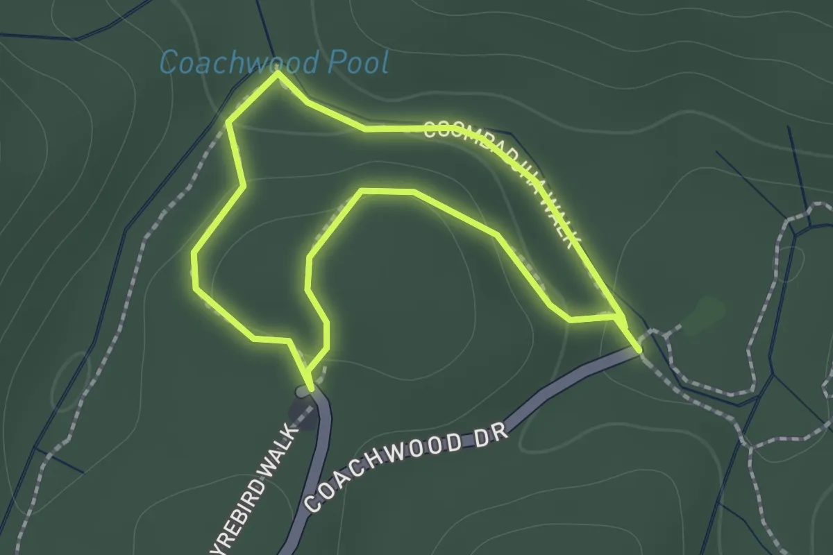
Easy · Trail
Coombadjha Walk
1.4 km · ↑ 52 m · 28 min
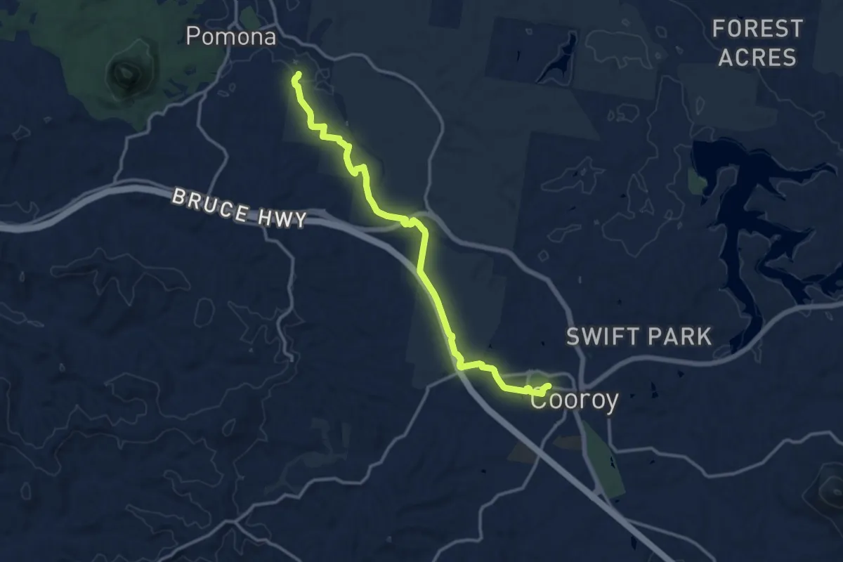
Medium · Trail
Cooroy Wanderer
16.8 km · ↑ 253 m · 4 h 31 min
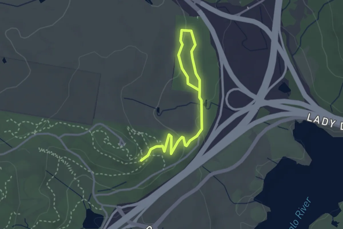
Easy · Trail
Cork Oaks Trail
4.0 km · ↑ 89 m · 1 h 8 min
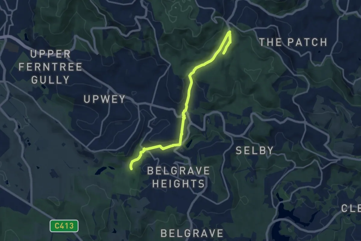
Medium · Trail
Country (ngurrak barring | RidgeWalk)
13.5 km · ↑ 387 m · 4 h 2 min
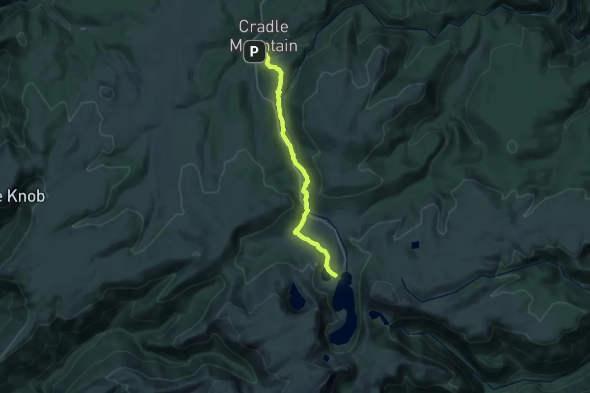
Medium · Trail
Cradle Valley Board Walk
16.2 km · ↑ 424 m · 4 h 45 min
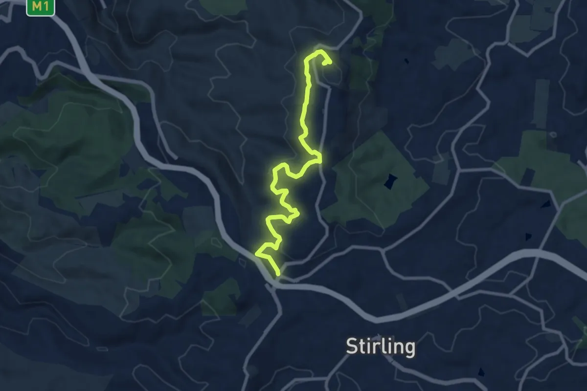
Medium · Summit
Crafers to Mt Lofty Trail
9.9 km · ↑ 301 m · 2 h 59 min
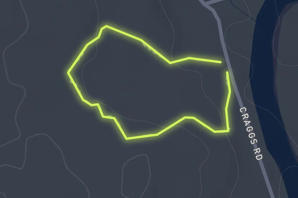
Easy · Trail
Craggs Hut Walk
1.2 km · ↑ 24 m · 21 min
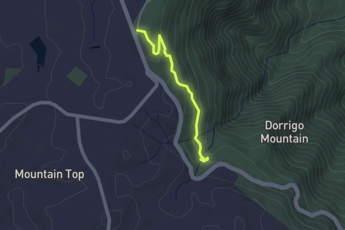
Easy · Trail
Crystal Shower Falls Walk
3.1 km · ↑ 137 m · 1 h 2 min
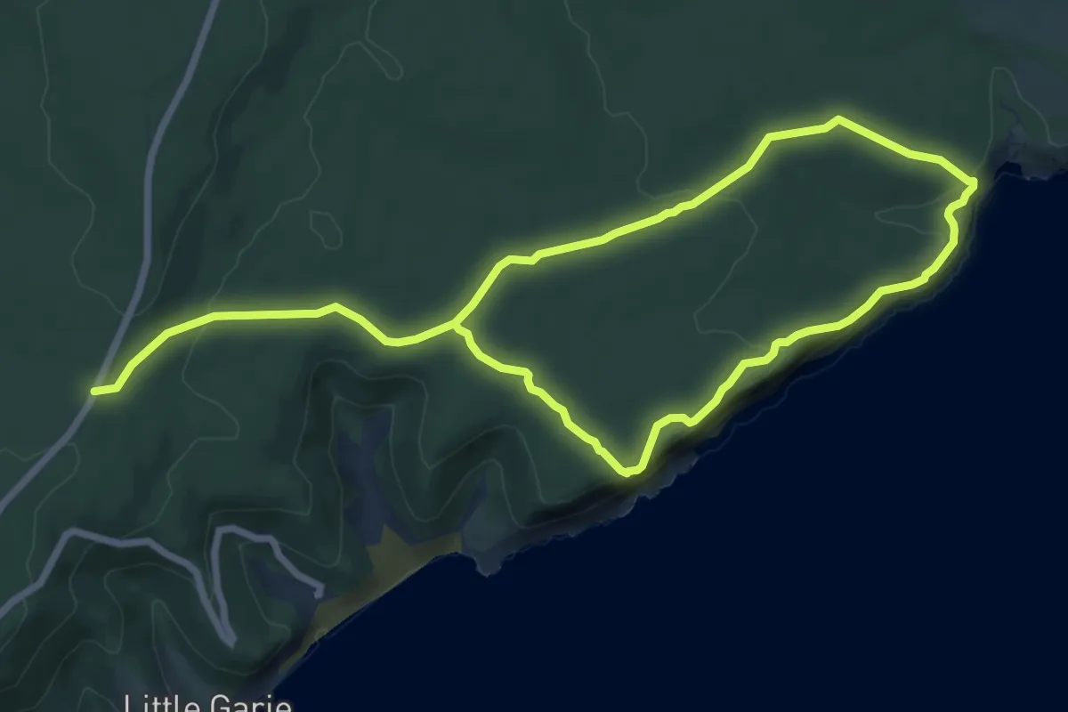
Medium · Trail
Curra Moors Loop Track
15.0 km · ↑ 372 m · 4 h 21 min
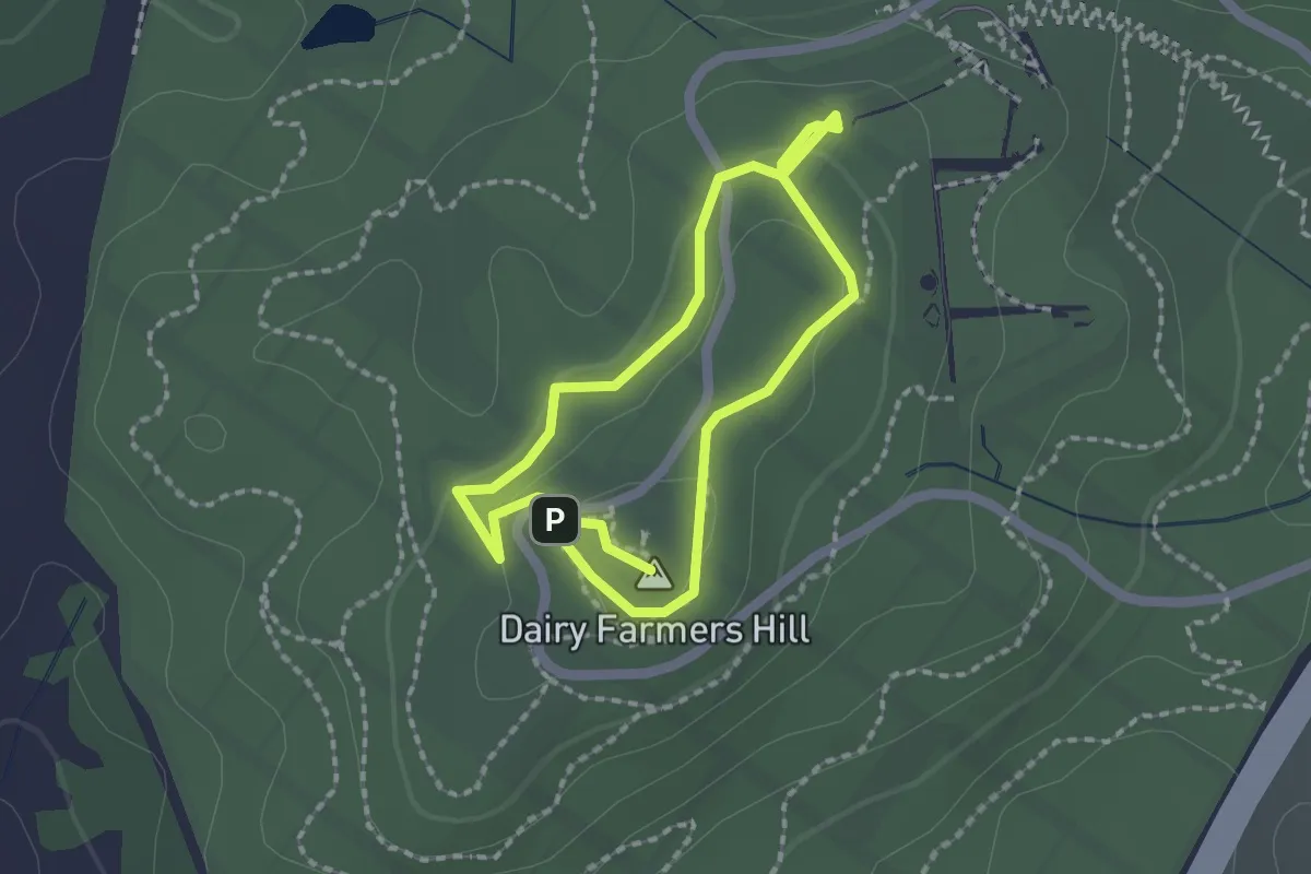
Easy · Summit
Dairy Farmers Hill Circuit
1.9 km · ↑ 33 m · 32 min
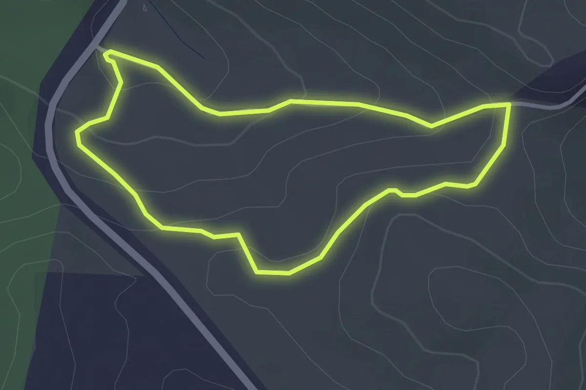
Easy · Trail
Danny's Loop Walk
3.1 km · ↑ 118 m · 1 h 2 min
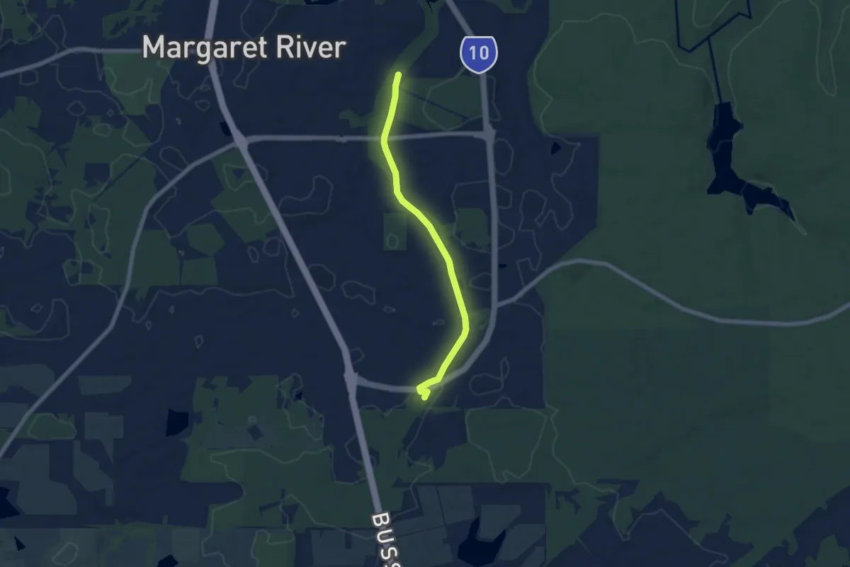
Easy · Trail
Darch Road Walk/Cycle Trail
6.8 km · ↑ 44 m · 1 h 42 min
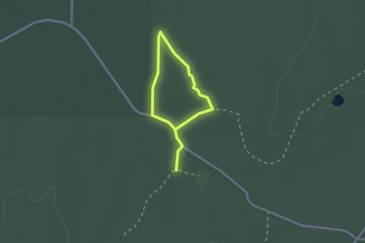
Easy · Trail
Dargile Forest Walk
2.5 km · ↑ 24 m · 39 min
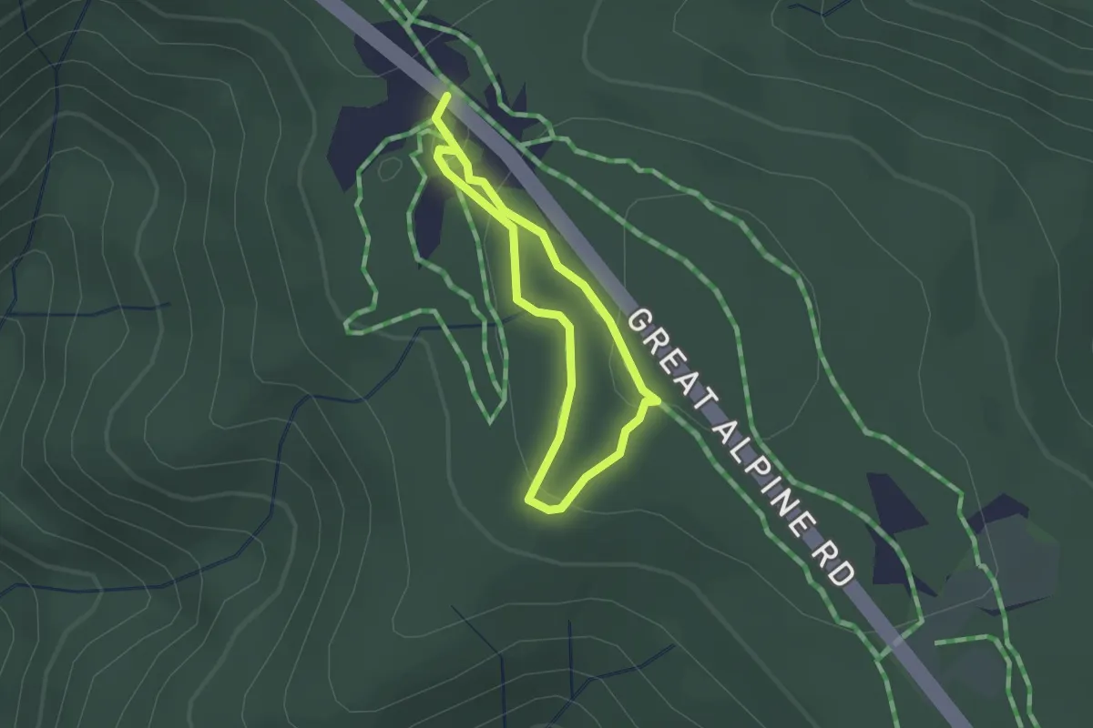
Easy · Trail
Dargo Loop
1.4 km · ↑ 43 m · 27 min
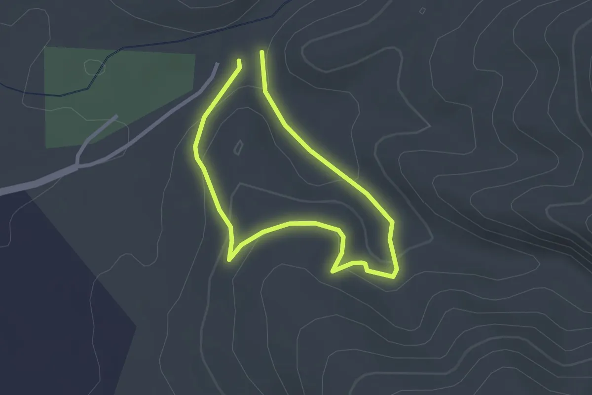
Easy · Trail
Daveys Gully Hike
2.3 km · ↑ 79 m · 45 min
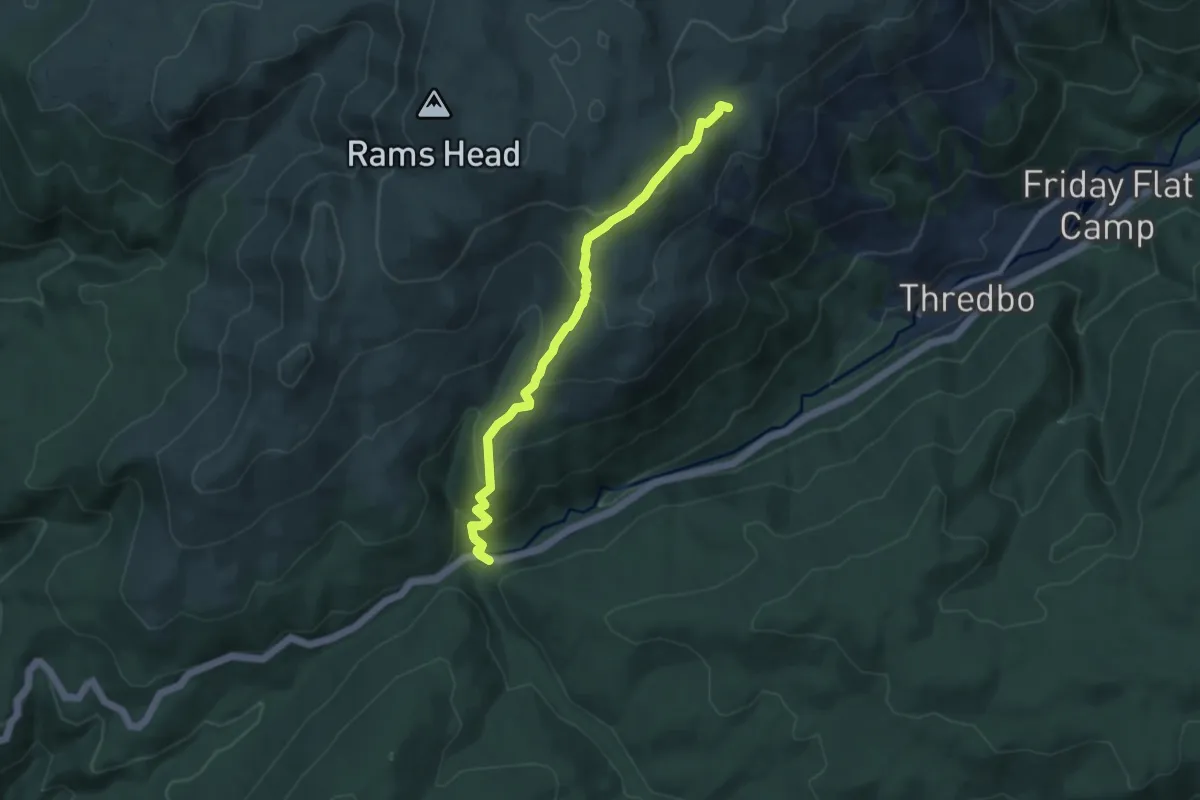
Medium · Trail
Dead Horse Gap Walking Track
9.5 km · ↑ 538 m · 3 h 25 min
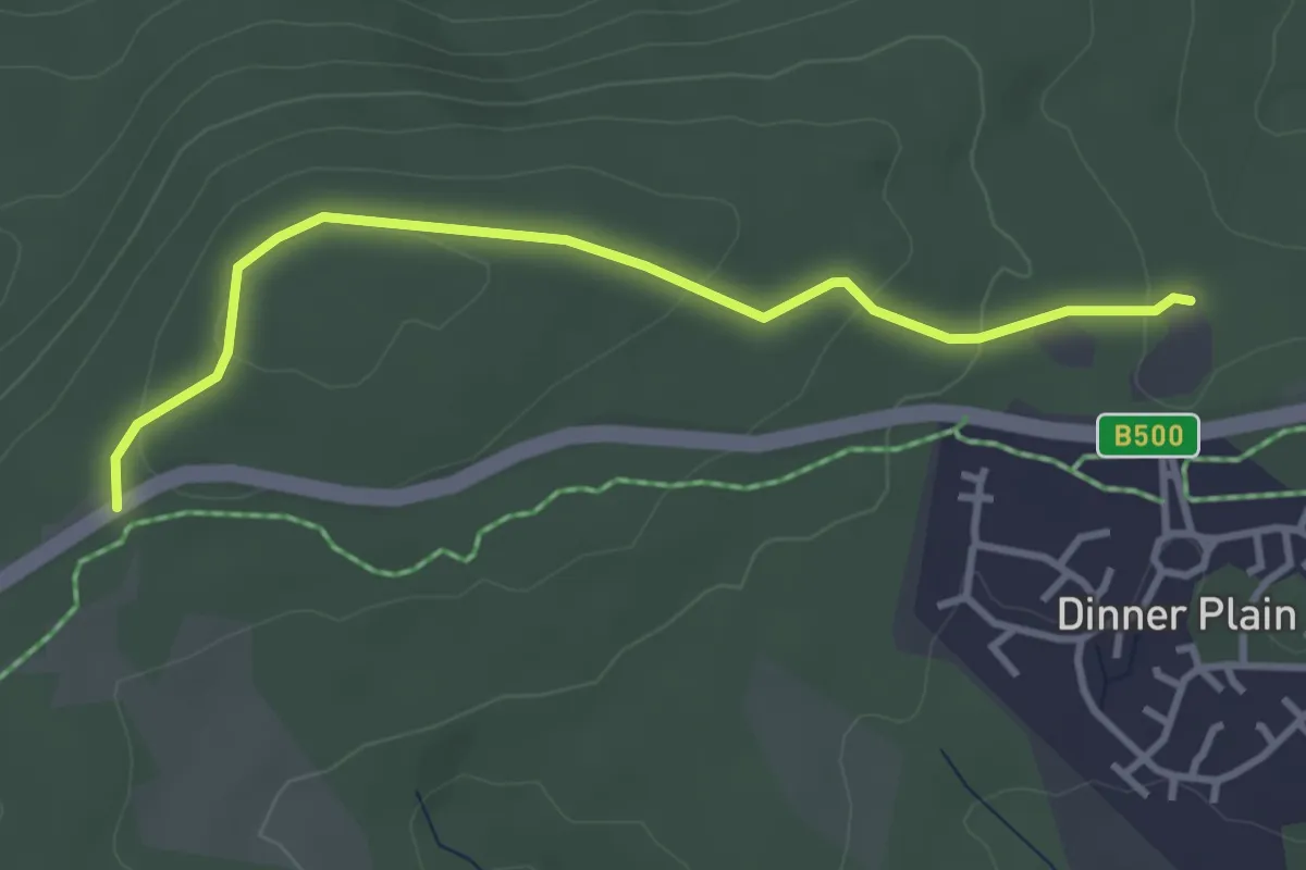
Easy · Cabin
Dead Timber Hill
4.0 km · ↑ 120 m · 1 h 13 min
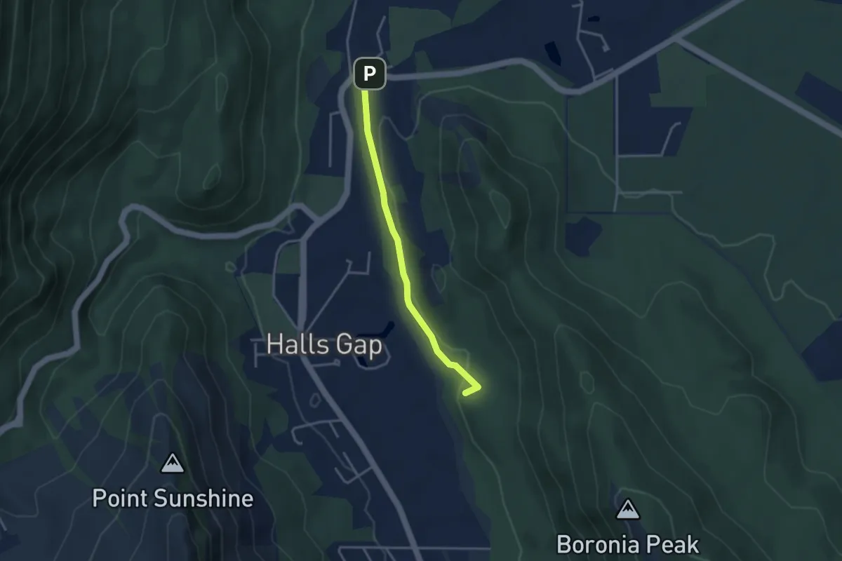
Easy · Summit
Delleys Bridge Walking Track
3.5 km · ↑ 50 m · 57 min
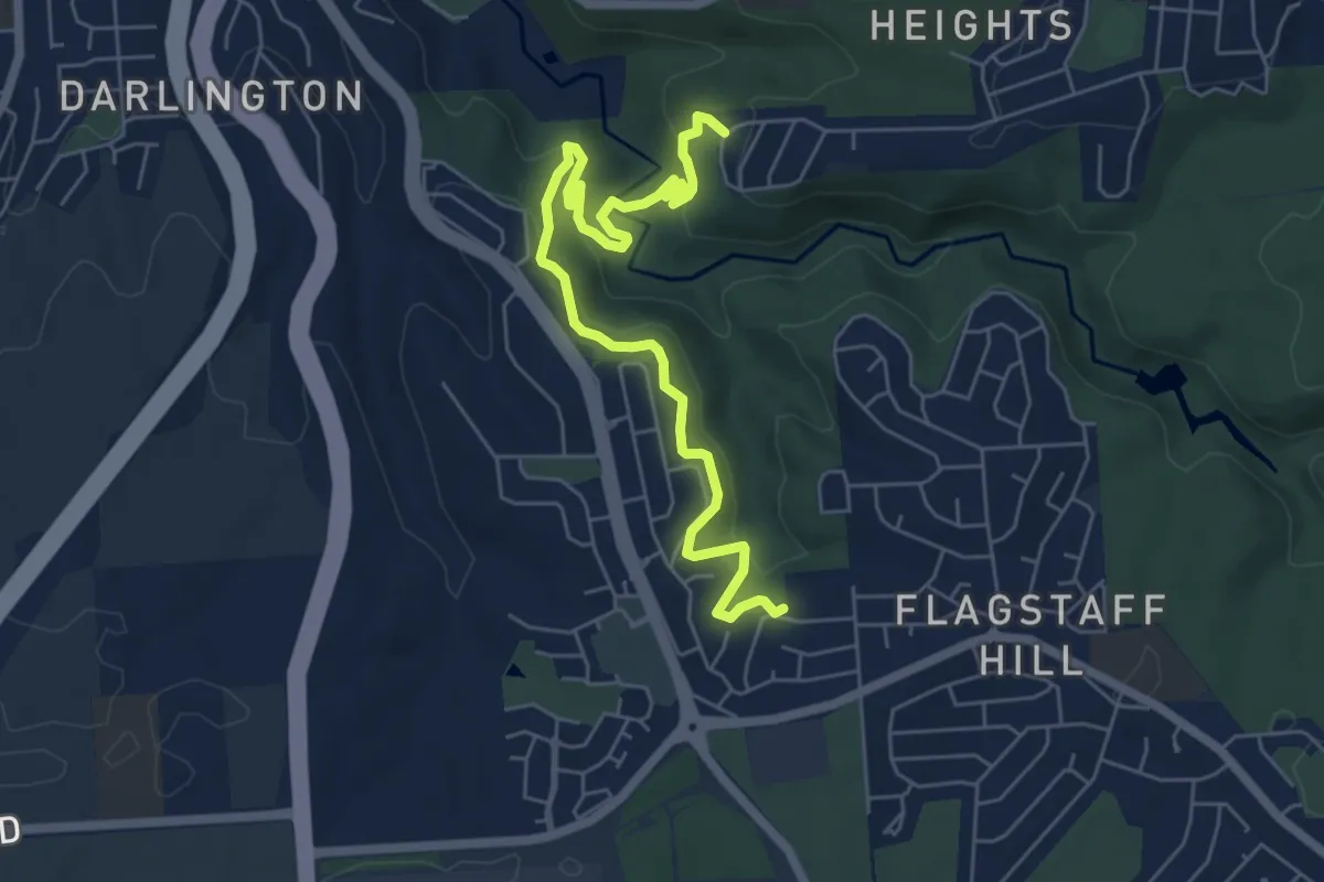
Medium · Trail
De Rose Trail
8.3 km · ↑ 295 m · 2 h 35 min
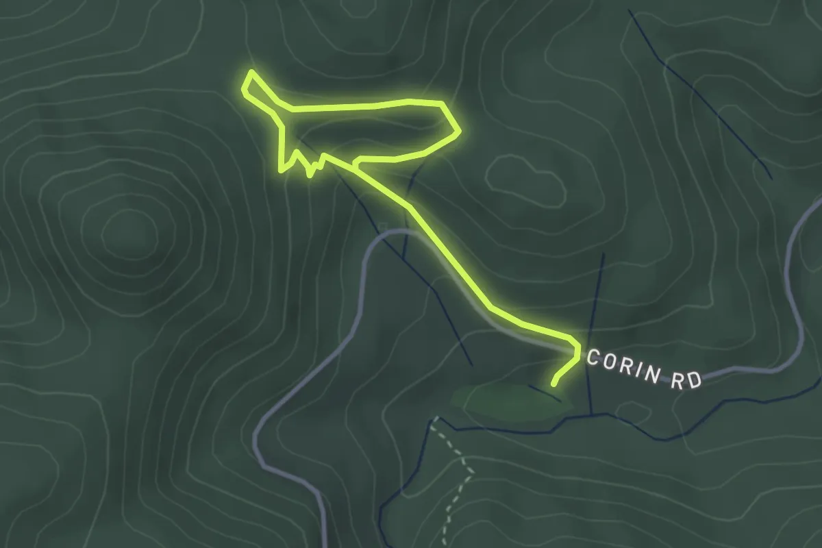
Easy · Trail
Devils Gap Loop
4.6 km · ↑ 217 m · 1 h 34 min
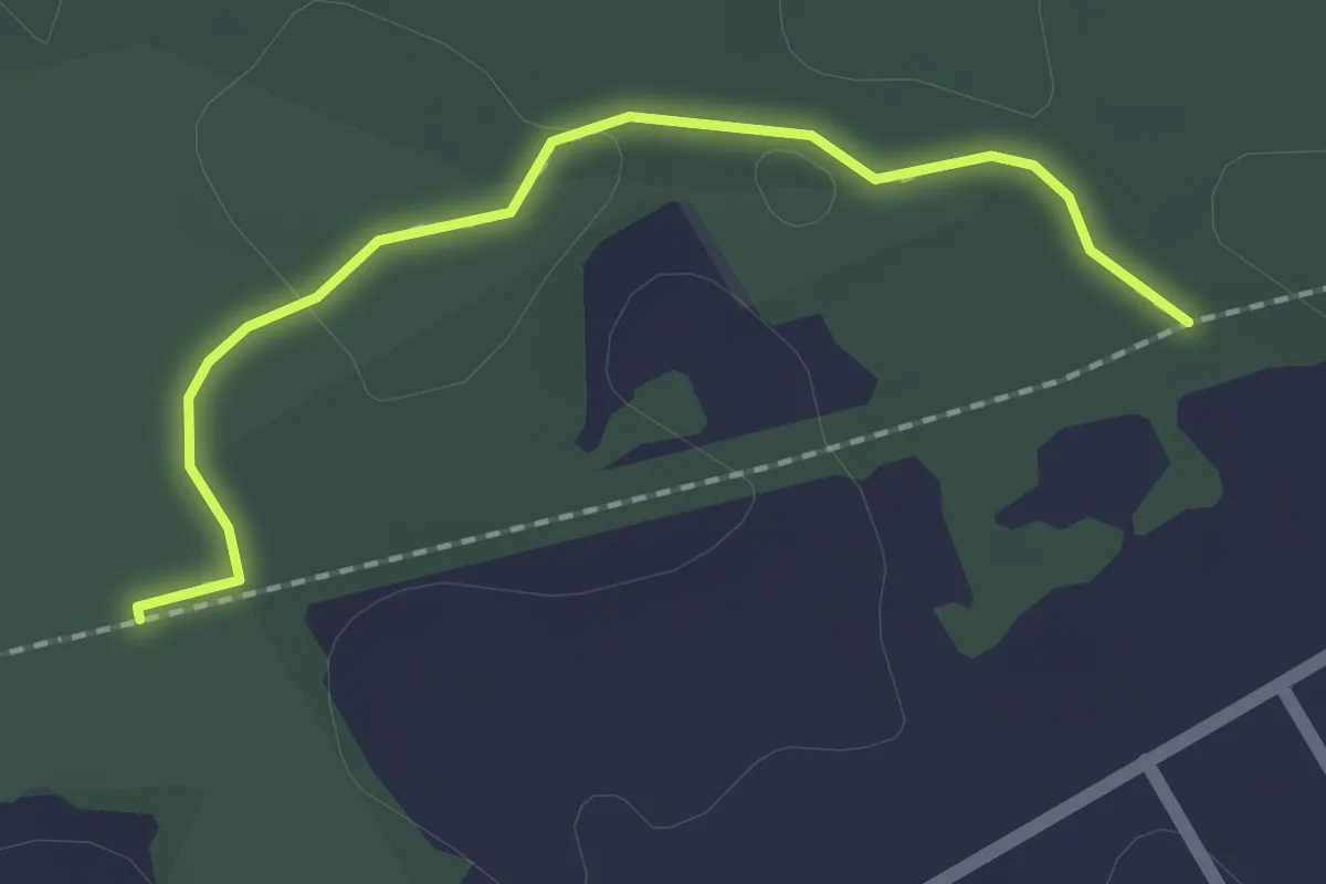
Easy · Trail
Domino Trail Alternate
2.1 km · ↑ 23 m · 33 min
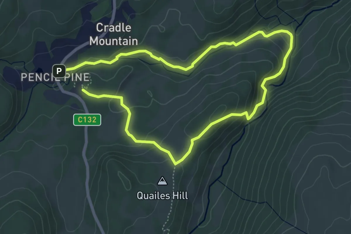
Medium · Trail
Dove Canyon Track
9.9 km · ↑ 392 m · 3 h 11 min
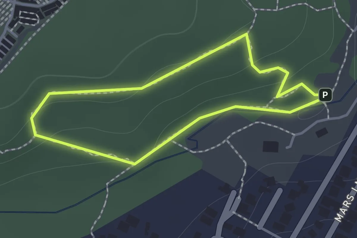
Easy · Trail
Doyle Loop
1.2 km · ↑ 31 m · 22 min
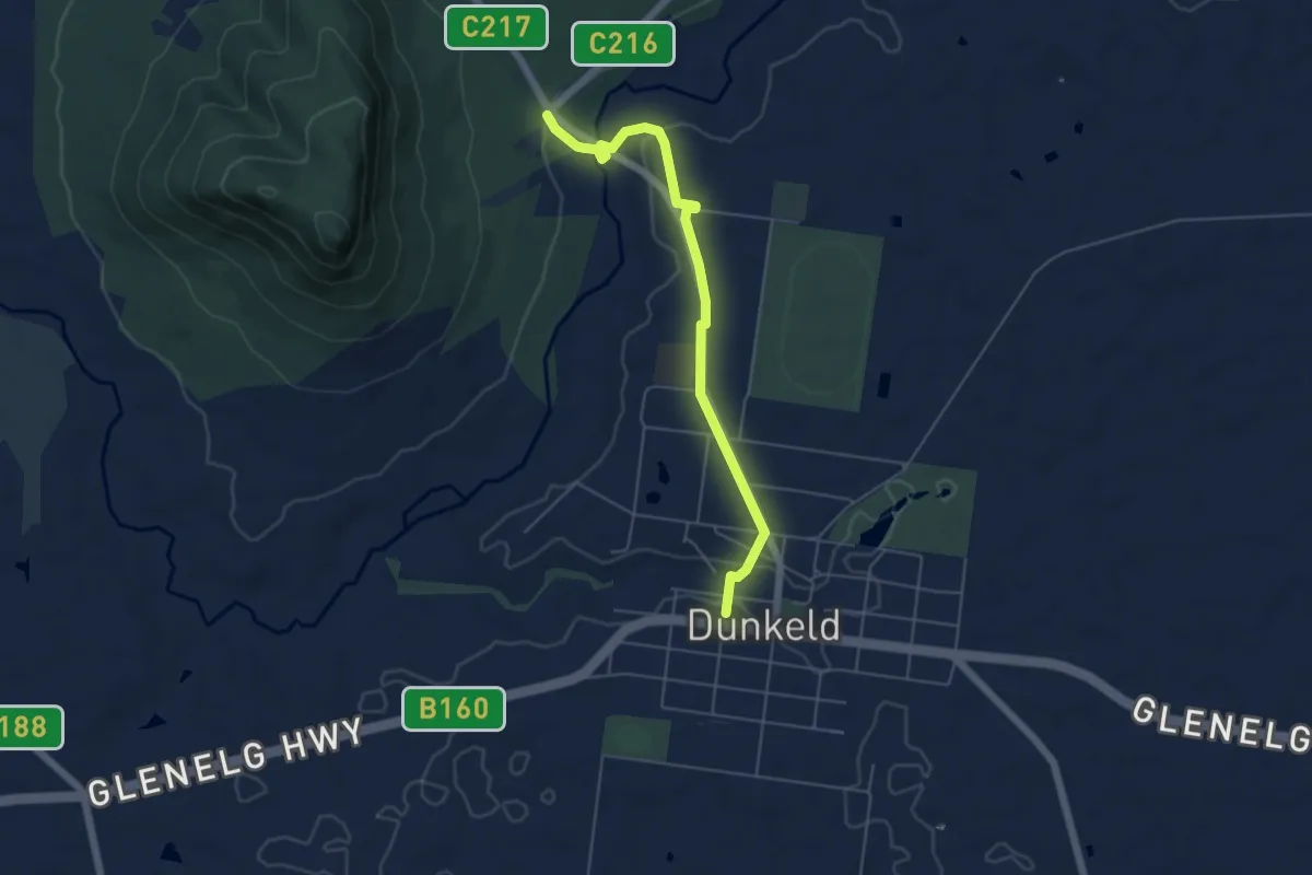
Easy · Trail
Dunkeld to Mount Sturgeon Discovery Trail
6.1 km · ↑ 98 m · 1 h 40 min
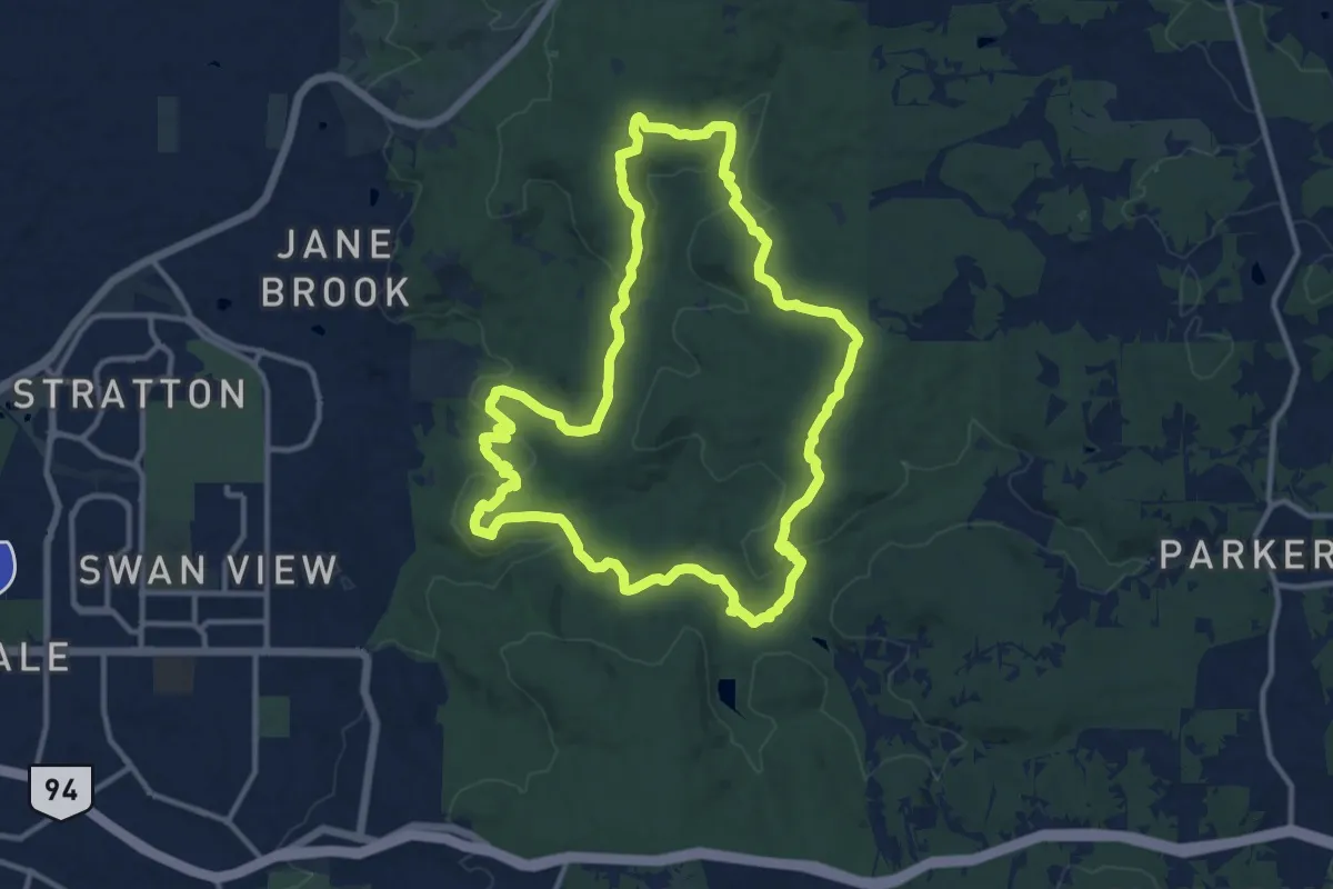
Medium · Trail
Eagle's View Walk Trail
15.3 km · ↑ 354 m · 4 h 36 min
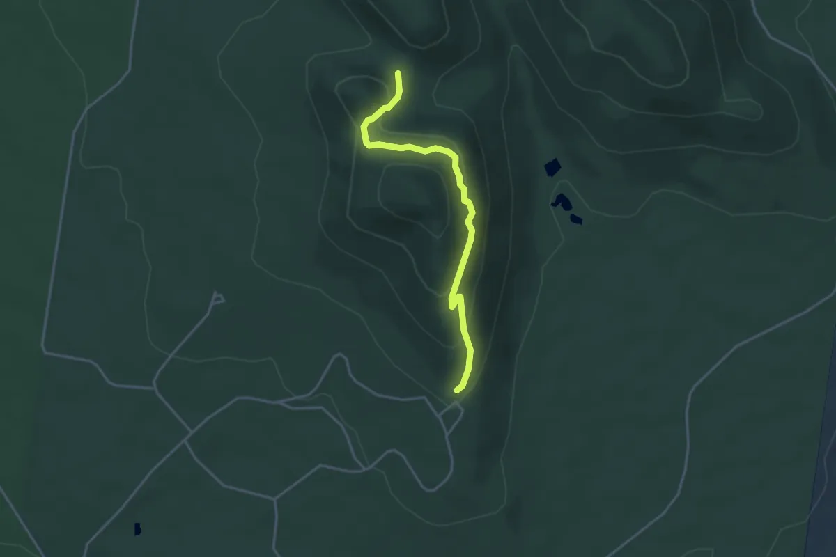
Easy · Trail
East Walk
3.9 km · ↑ 187 m · 1 h 20 min
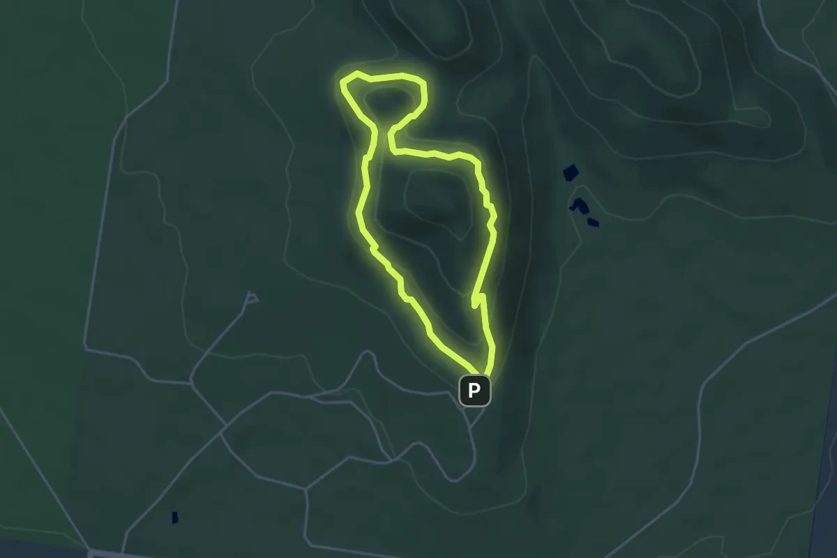
Easy · Trail
East West Walk
4.1 km · ↑ 166 m · 1 h 23 min
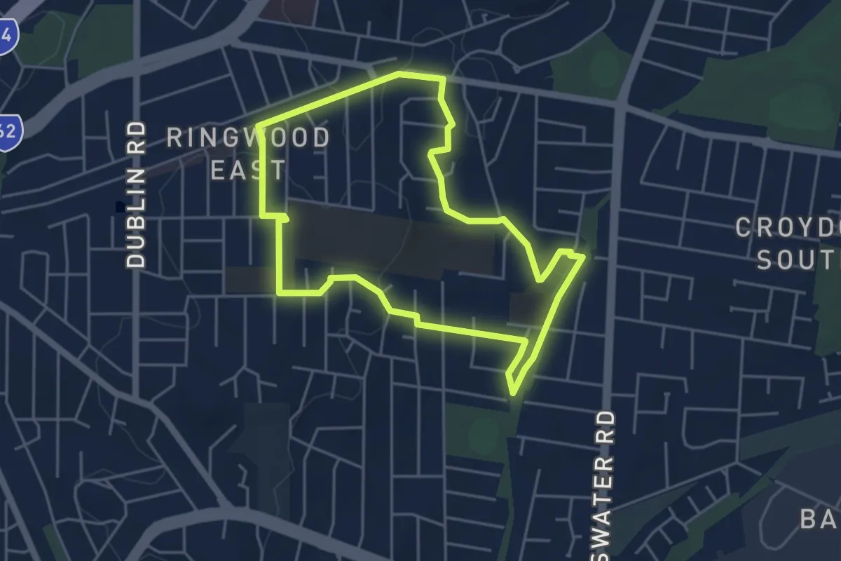
Easy · Trail
Eastwood Walking Route
4.9 km · ↑ 82 m · 1 h 24 min
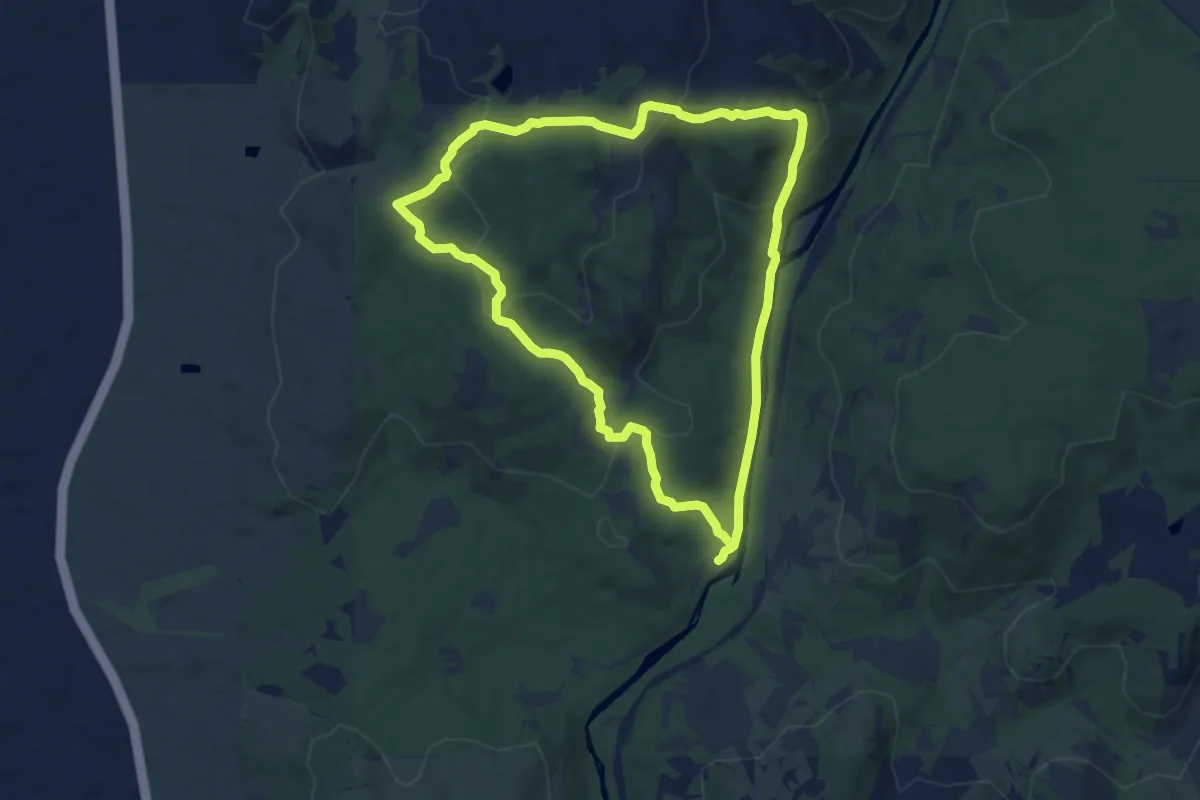
Medium · Trail
Echidna Trail
8.8 km · ↑ 327 m · 2 h 55 min
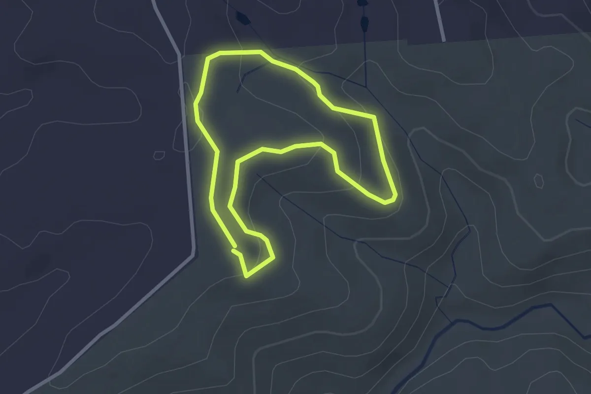
Easy · Trail
Echinda Trail
2.7 km · ↑ 88 m · 52 min
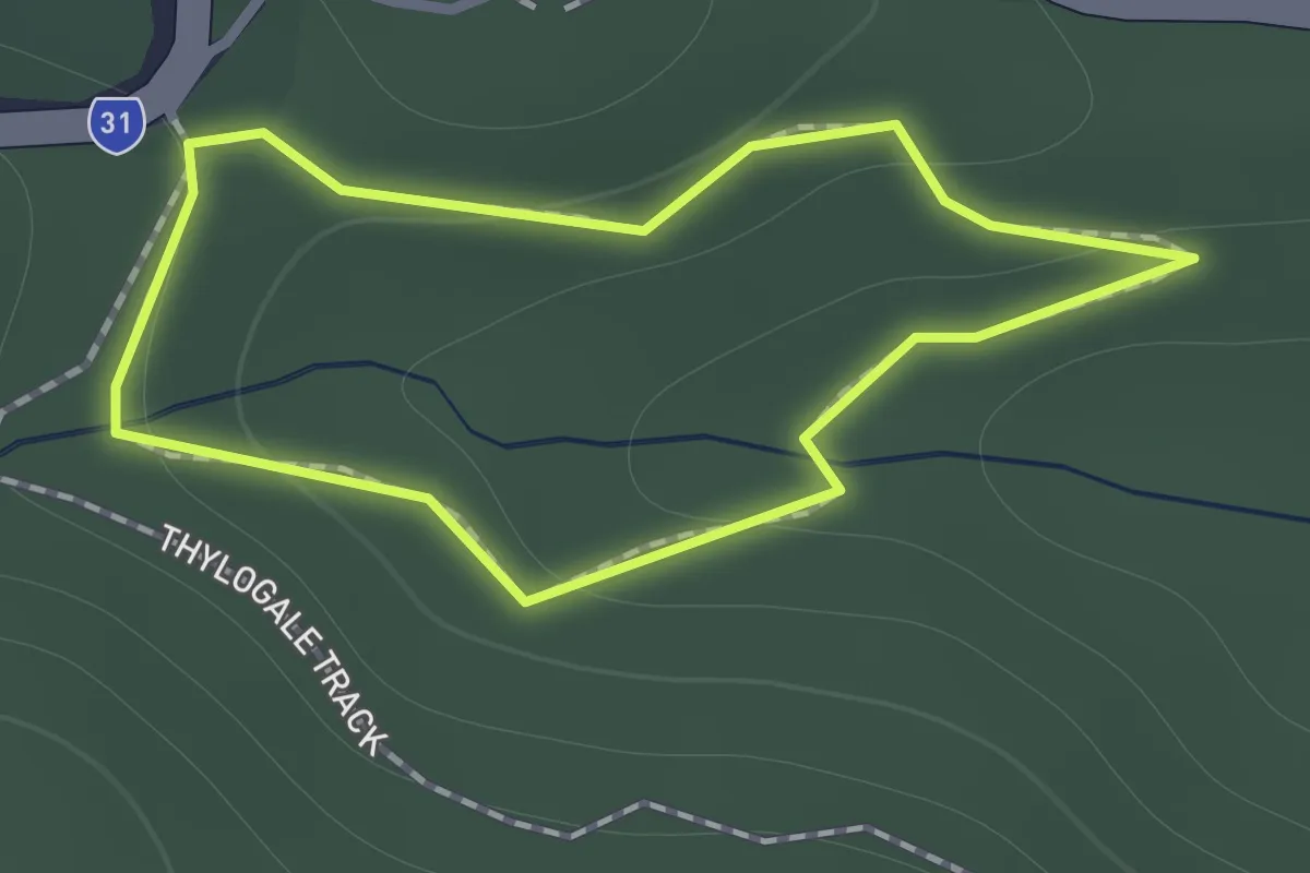
Easy · Trail
Egernia Circuit
1.1 km · ↑ 35 m · 21 min
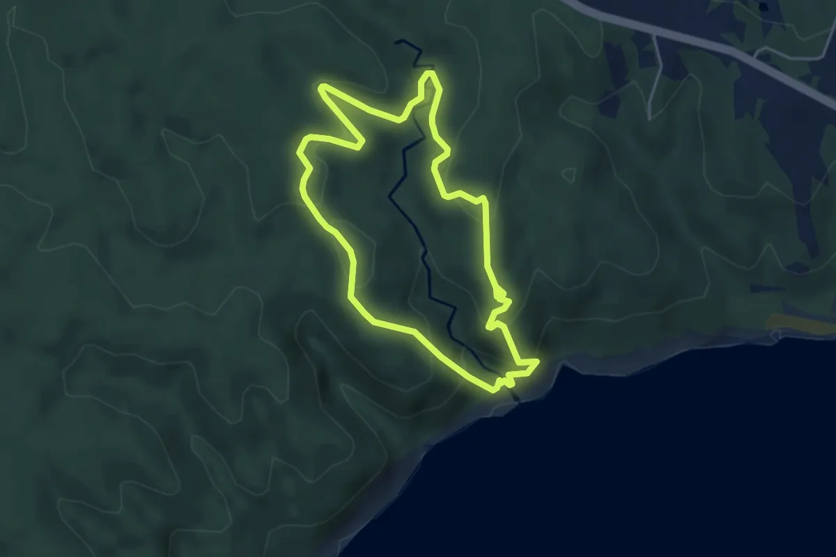
Easy · Trail
Elliot River Loop Walk
4.6 km · ↑ 211 m · 1 h 36 min
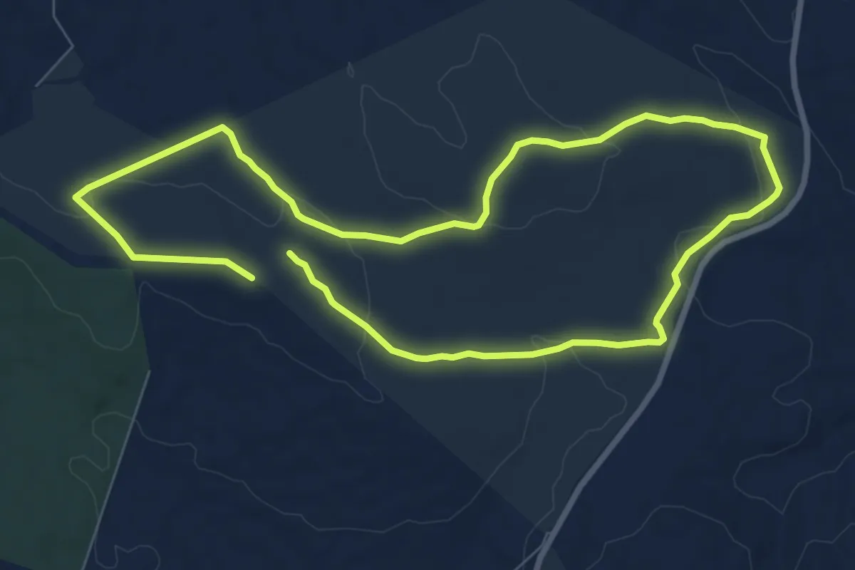
Medium · Trail
Emu Wren Hike
17.2 km · ↑ 330 m · 4 h 46 min
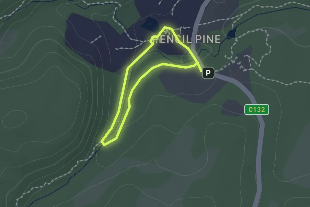
Easy · Trail
Enchanted Forest Walk
1.2 km · ↑ 20 m · 21 min
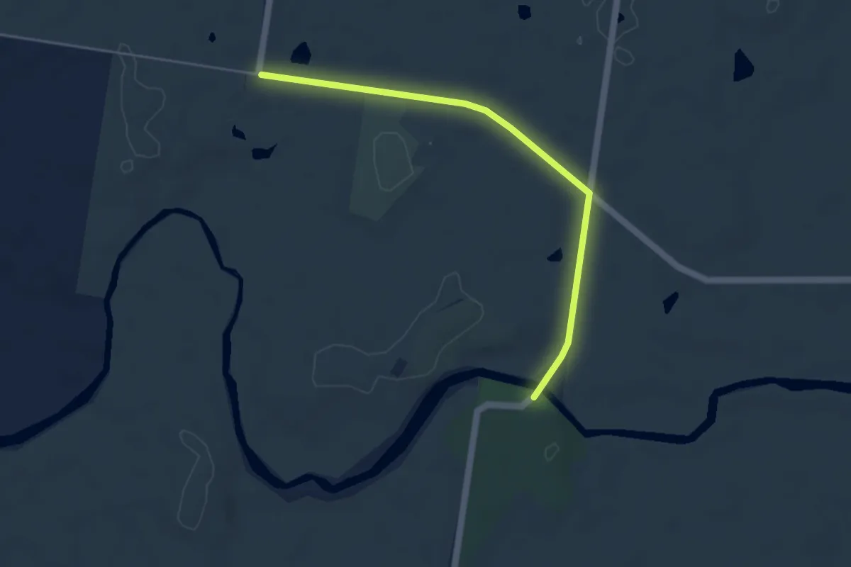
Easy · Trail
Exploration Reef Trail
4.8 km · ↑ 33 m · 1 h 12 min
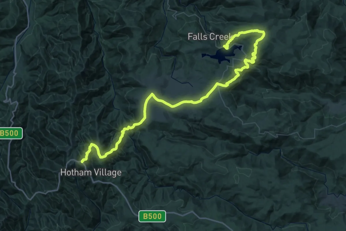
Demanding · Trail
Falls to Hotham Alpine Crossing
37.5 km · ↑ 1017 m · 11 h 41 min
Easy · Trail
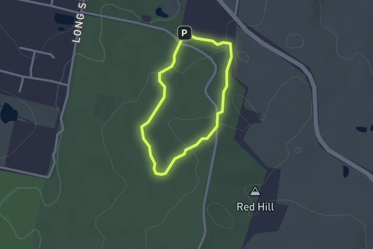
Fern Walk
1.9 km · ↑ 35 m · 33 min
Easy · Trail
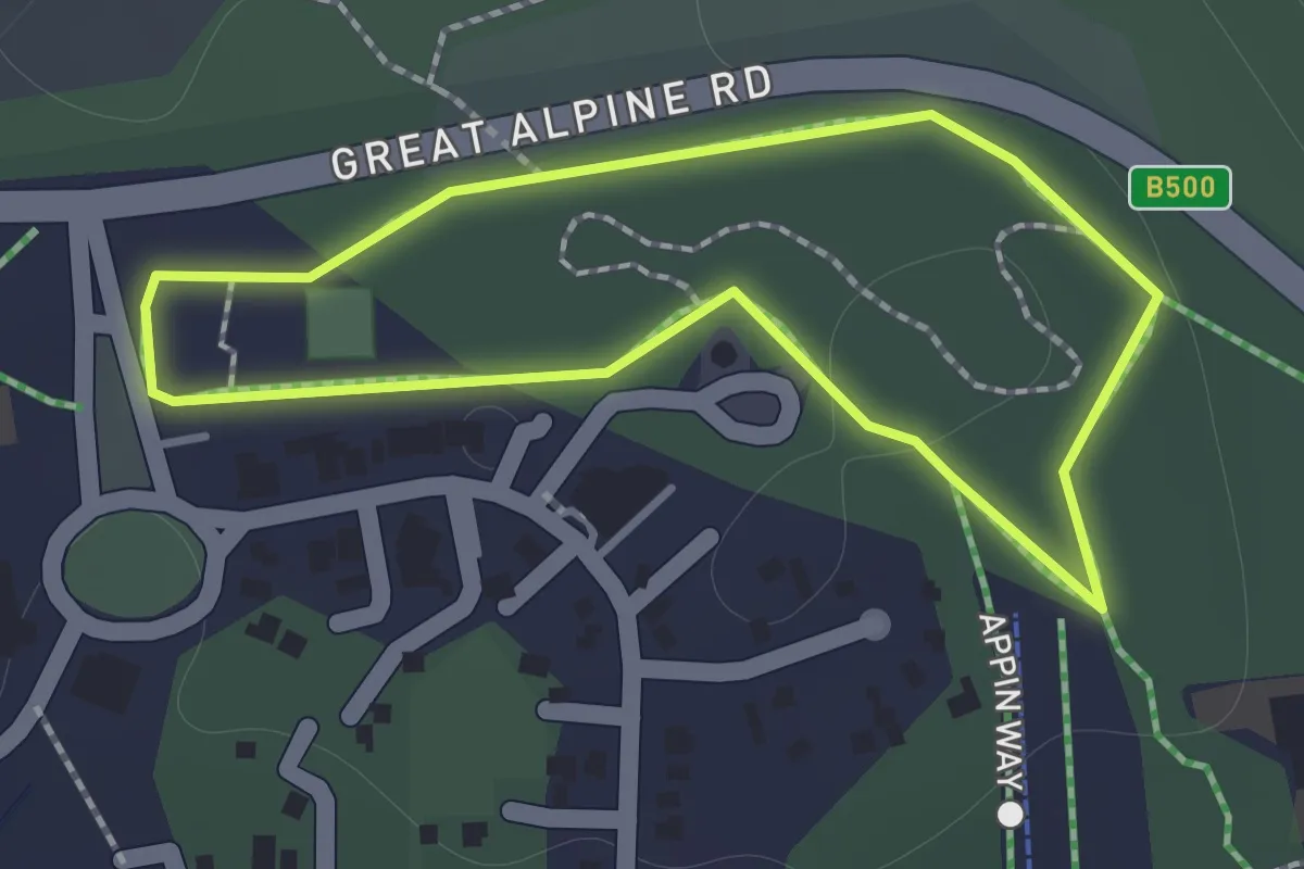
Fitzy's Cirque
1.3 km · ↑ 10 m · 21 min
Medium · Trail
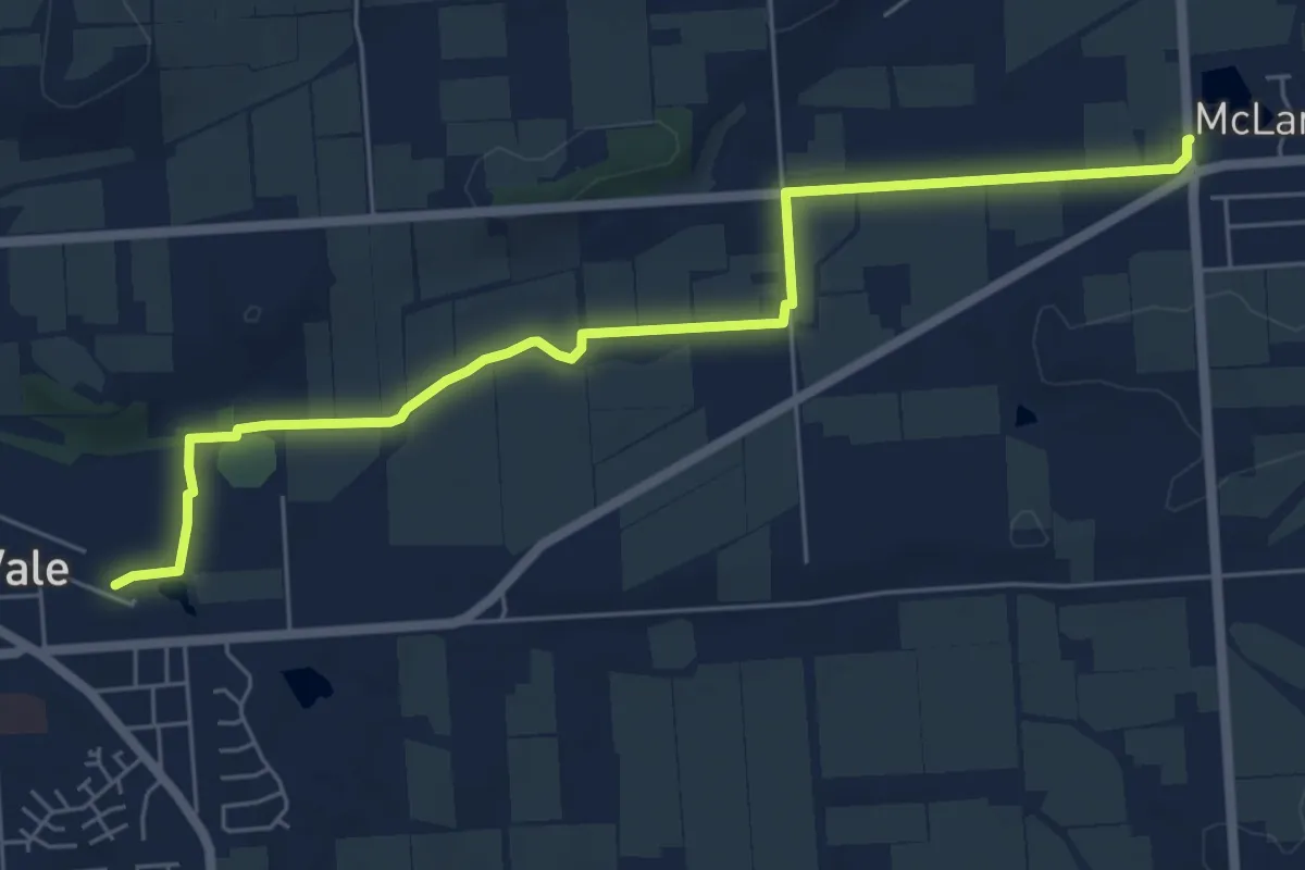
Flat to Vale Trail
8.0 km · ↑ 41 m · 1 h 59 min
Easy · Summit
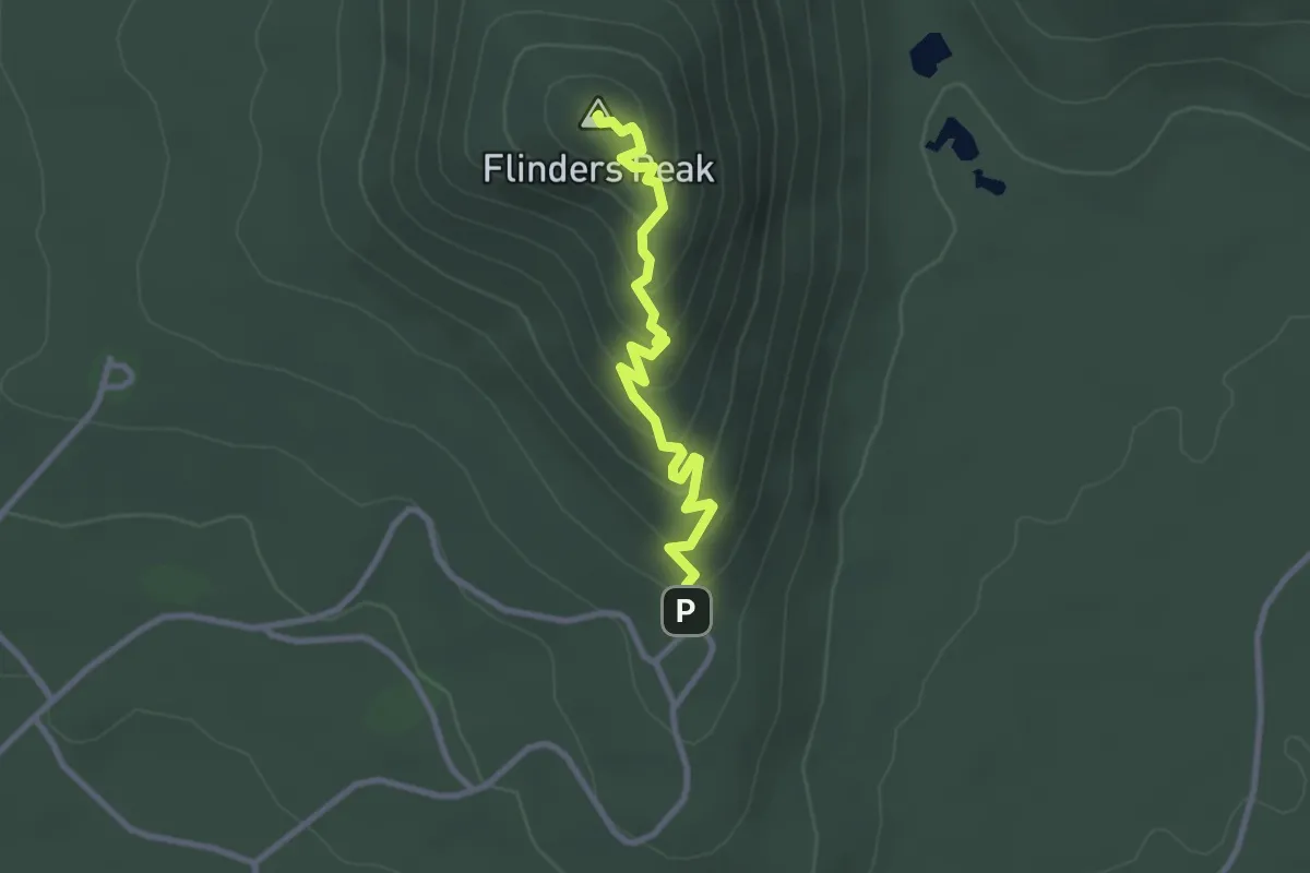
Flinders Peak Walk
3.1 km · ↑ 193 m · 1 h 9 min
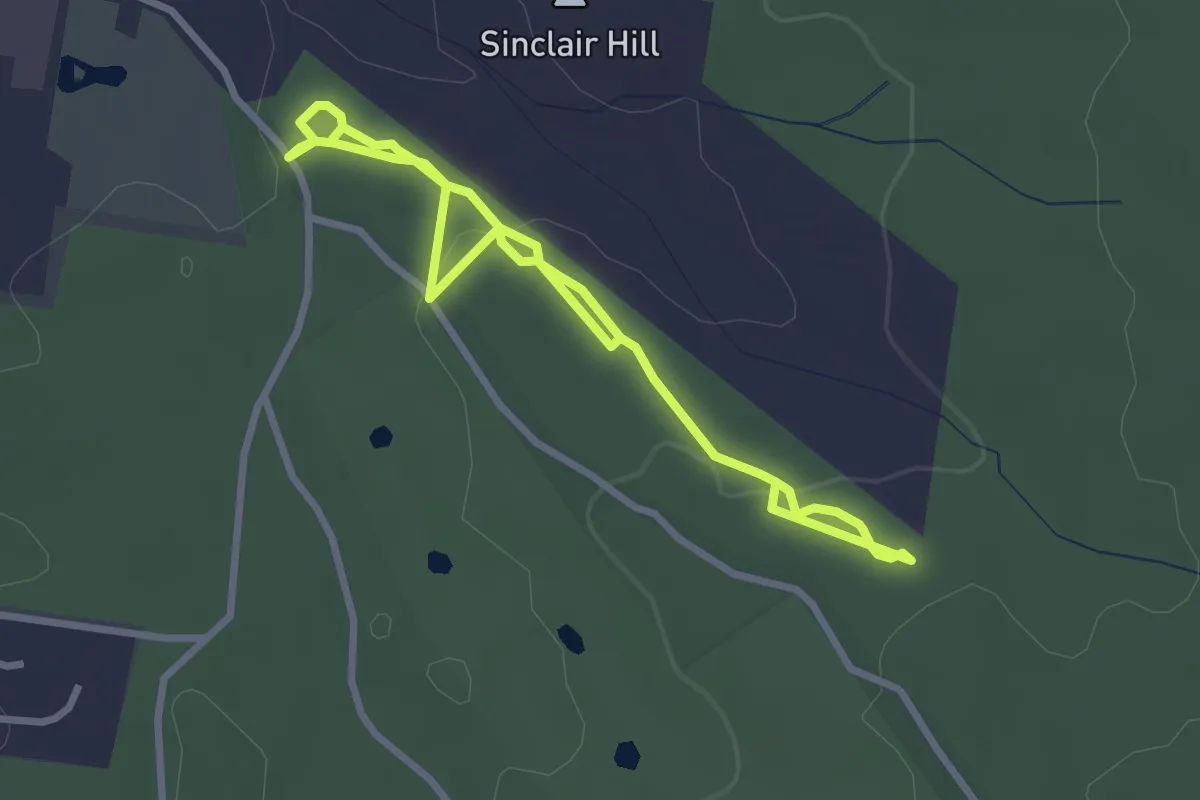
Easy · Trail
Forest and Sensory Trail
5.0 km · ↑ 68 m · 1 h 20 min
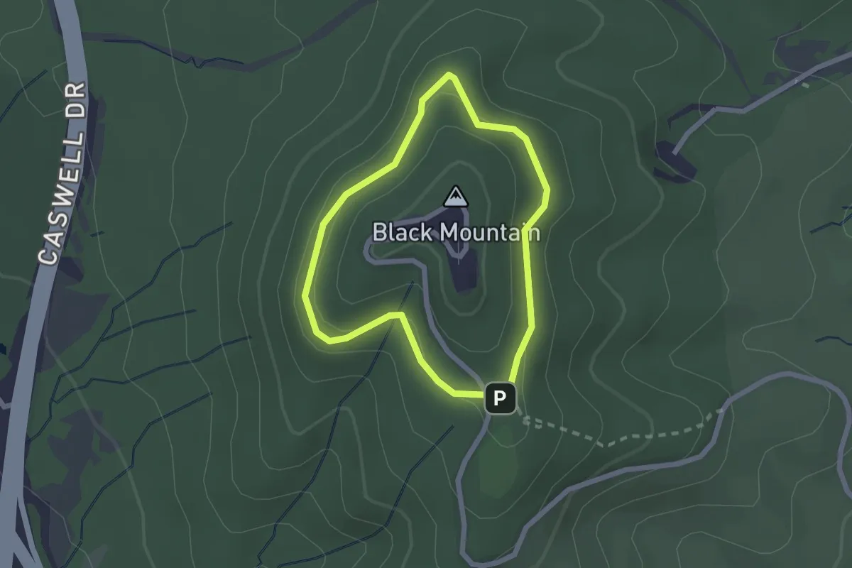
Easy · Trail
Forest Loop Walk
2.1 km · ↑ 34 m · 36 min
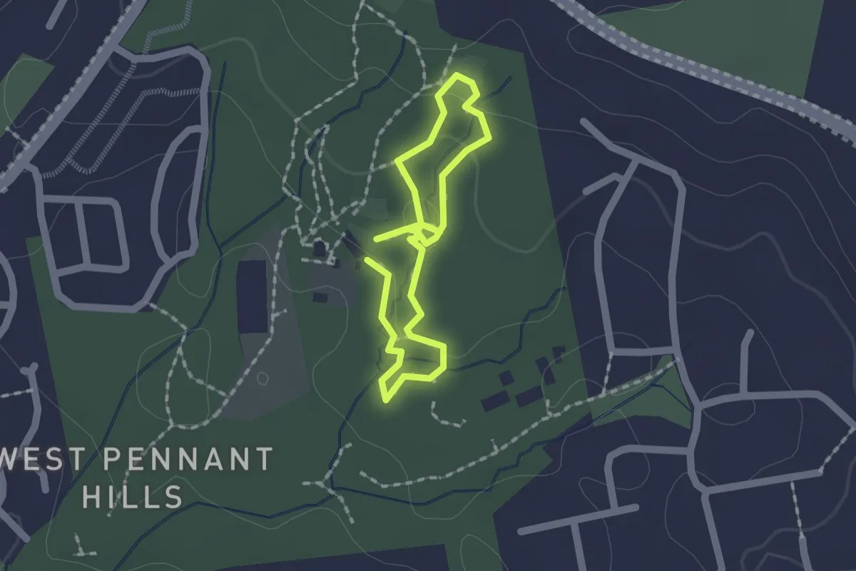
Easy · Trail
Forestry Trail
1.5 km · ↑ 23 m · 25 min
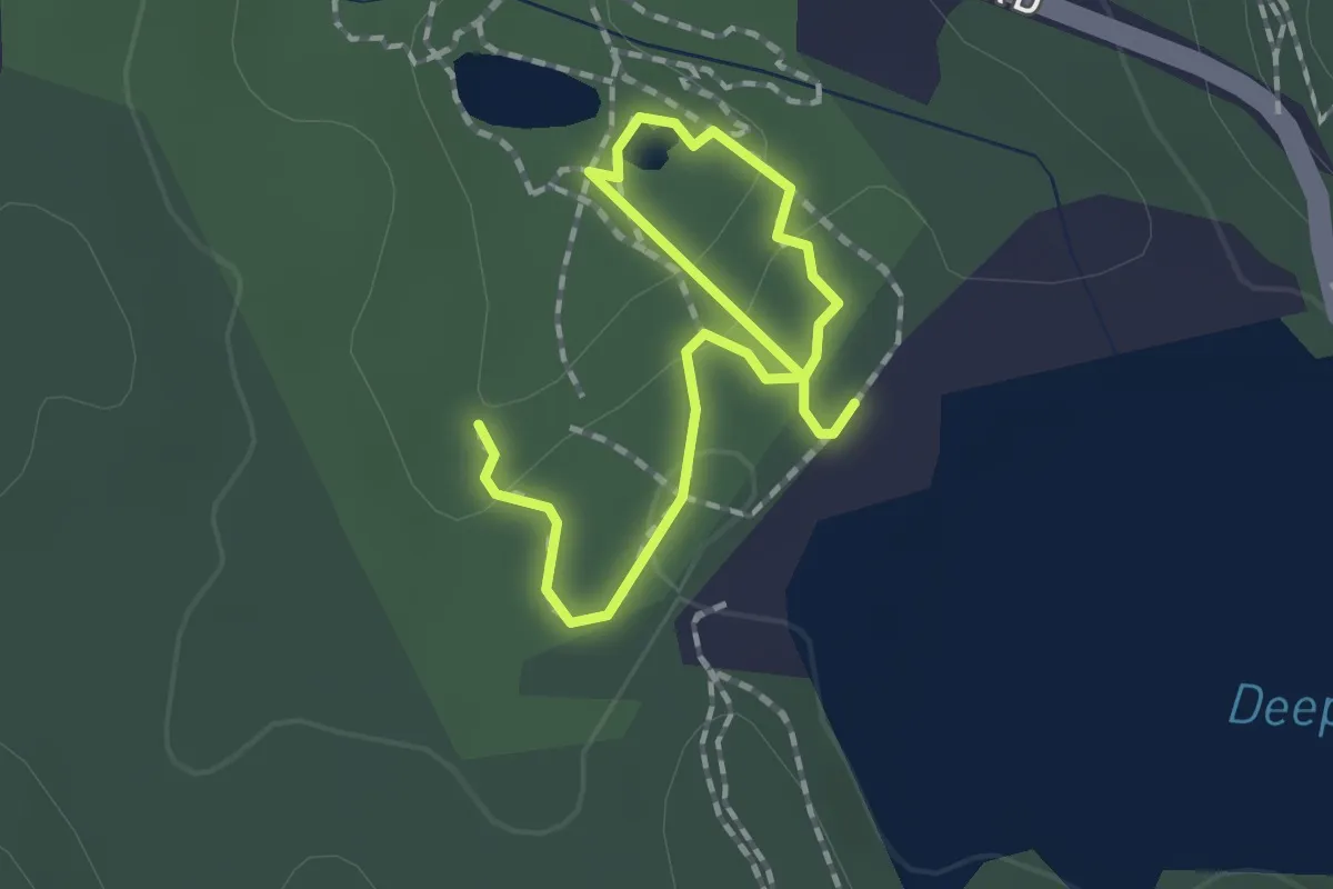
Easy · Trail
Forest Track
2.4 km · ↑ 76 m · 44 min