Trails in Australia
551 hiking trails, each with its route, climb, walking time and grade.
All trails, page 4 of 12
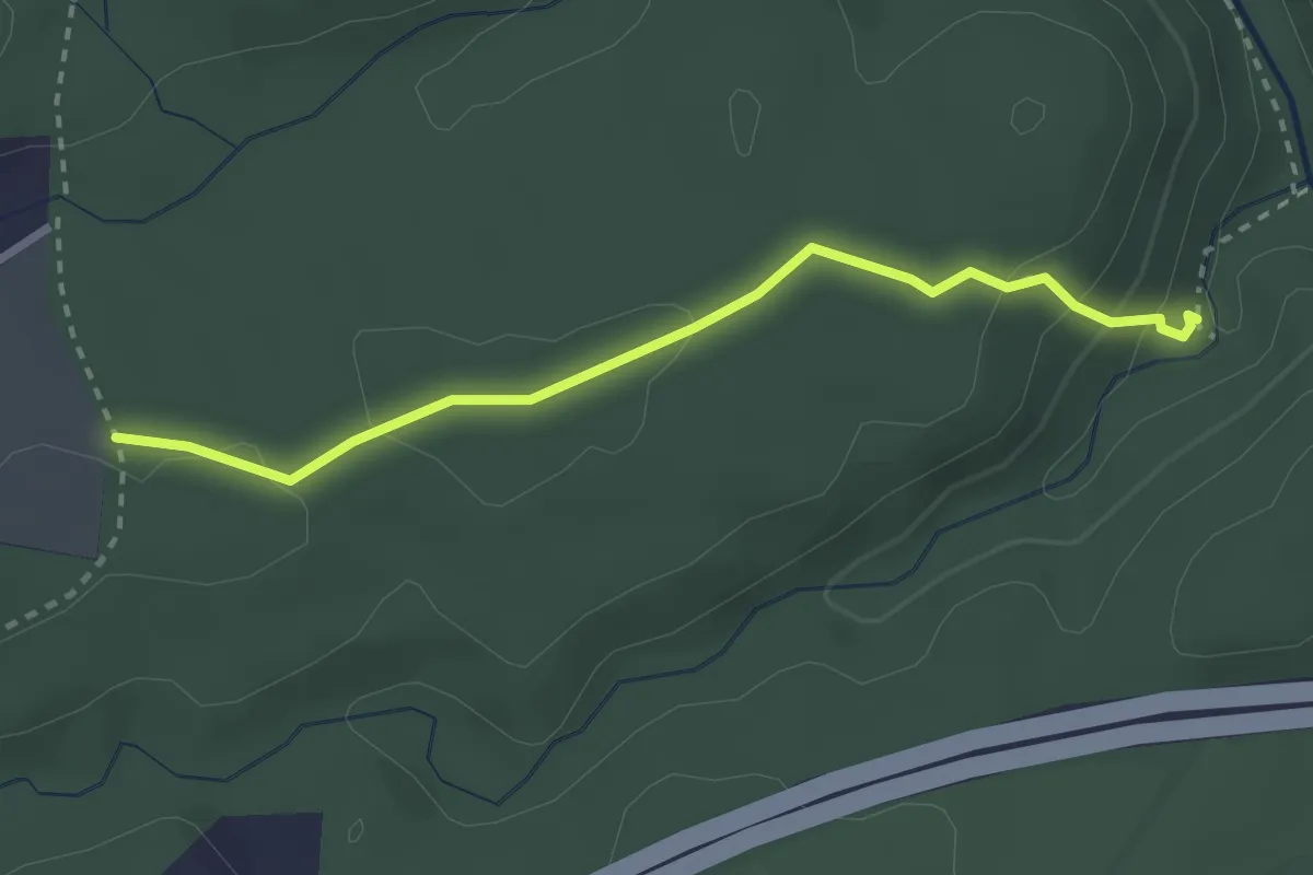
Medium · Trail
Forty Foot Falls Walking Track
3.2 km · ↑ 101 m · 59 min
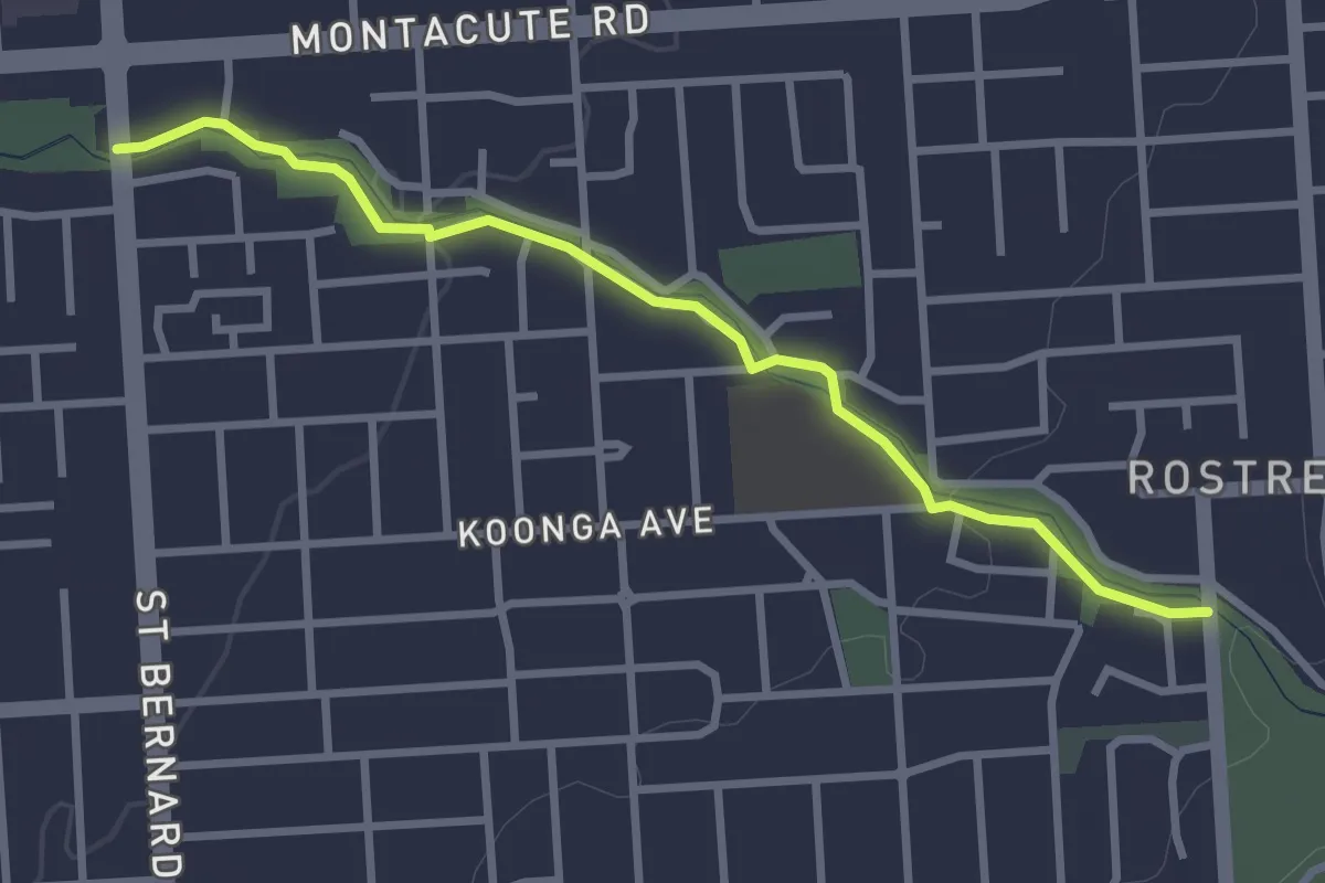
Easy · Trail
Fourth Creek Trail
3.6 km · ↑ 38 m · 56 min
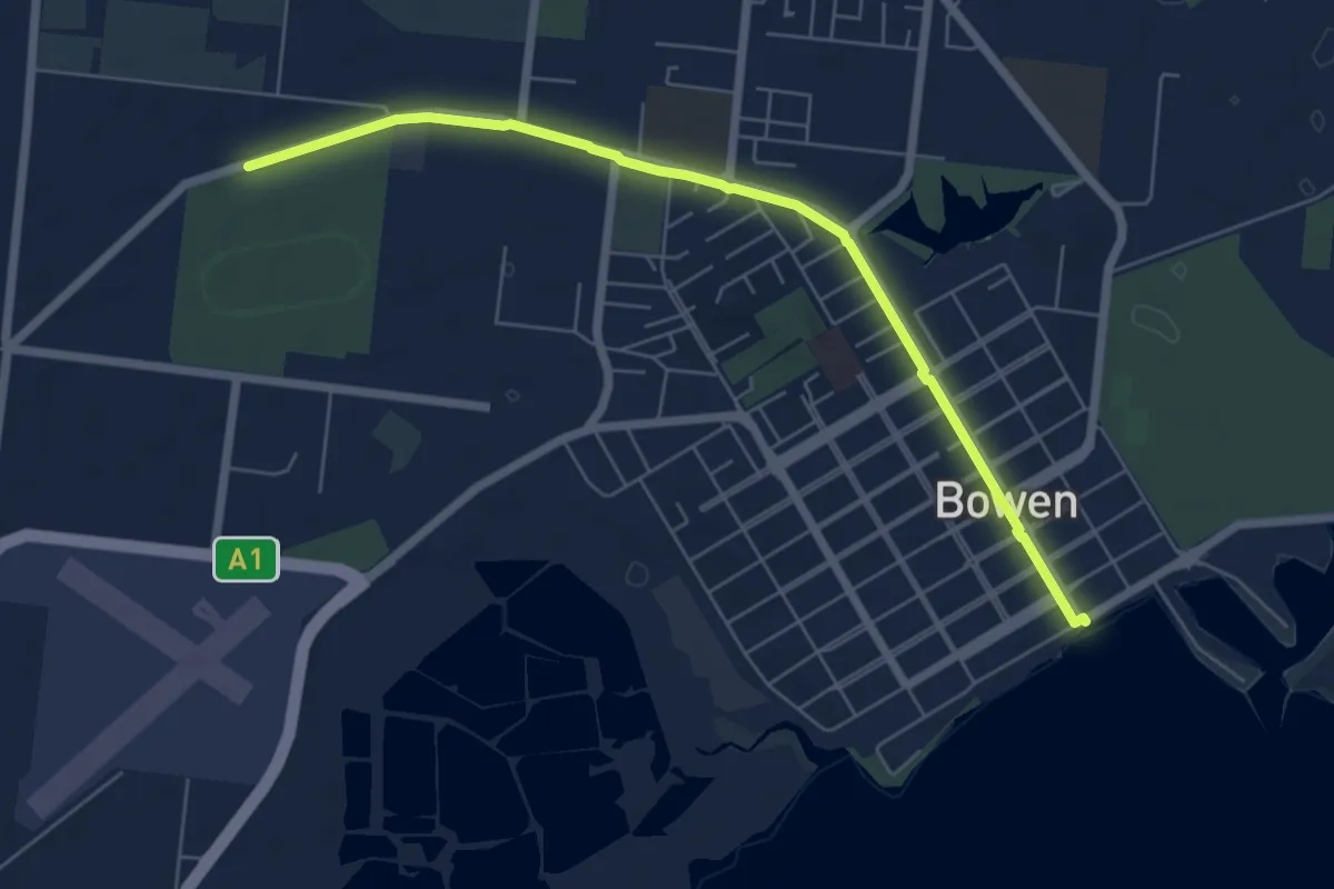
Medium · Trail
Front Beach to Sporting Complex Walks
8.9 km · ↑ 42 m · 2 h 11 min
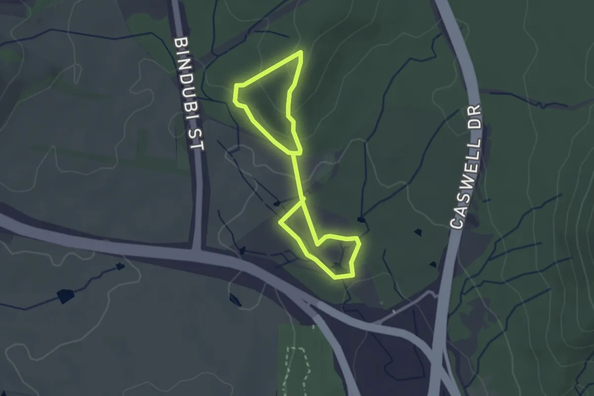
Easy · Trail
Frost Hollow to Forest Walk
4.8 km · ↑ 132 m · 1 h 25 min
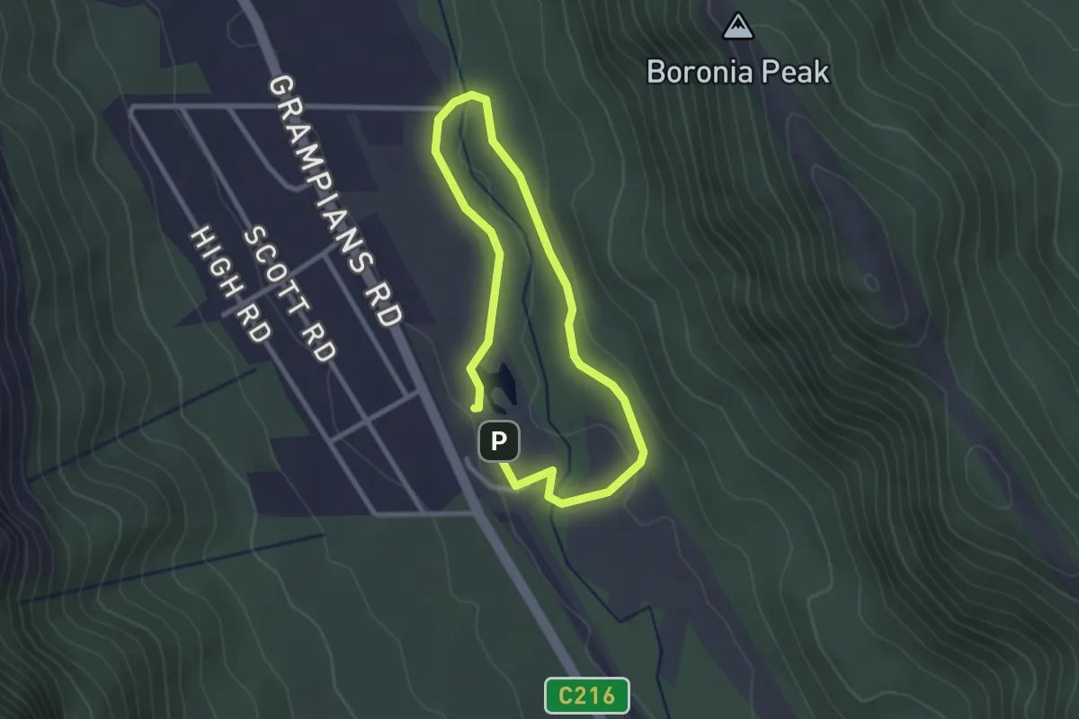
Easy · Trail
Fyans Creek Loop
2.3 km · ↑ 24 m · 38 min
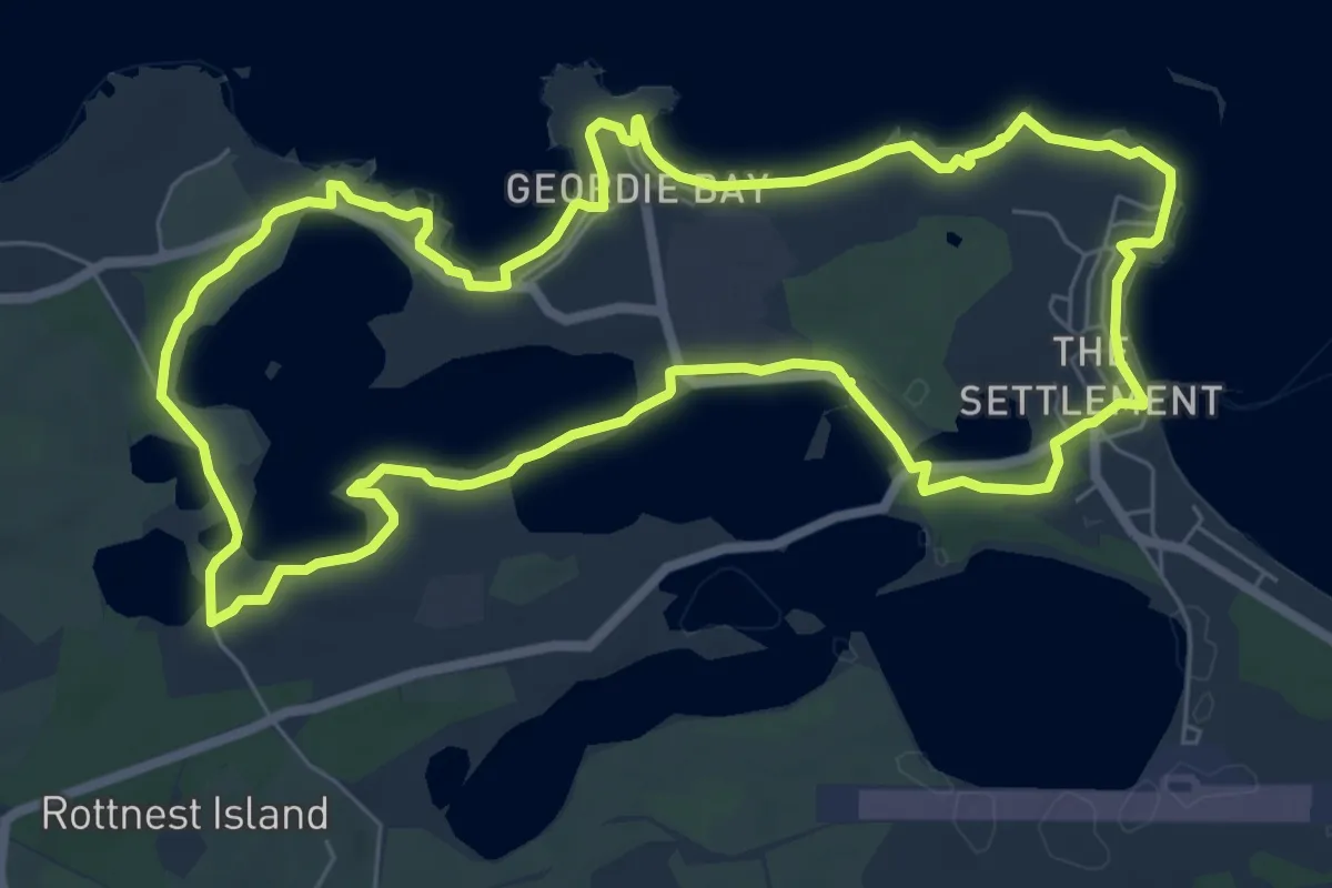
Medium · Summit
Gabbi Karniny Bidi (The Lakes)
9.4 km · ↑ 81 m · 2 h 32 min
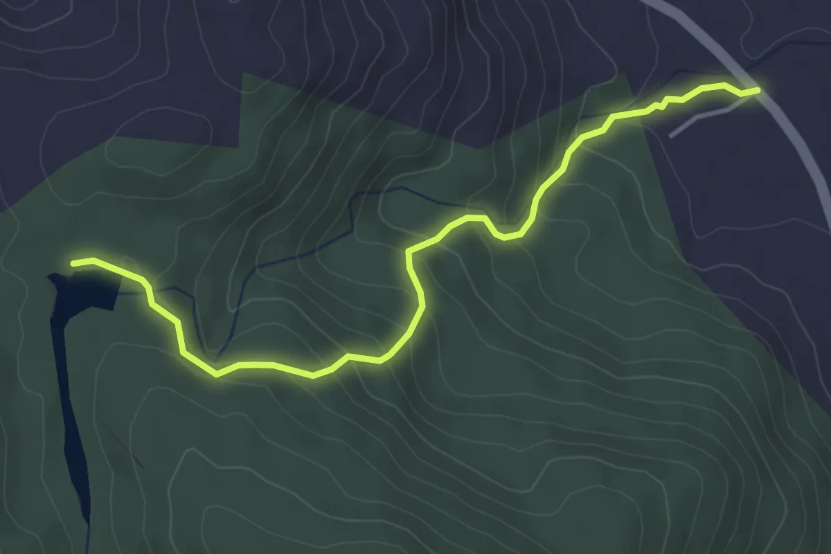
Easy · Trail
Gawarn Baring Walking Track
4.8 km · ↑ 315 m · 1 h 49 min
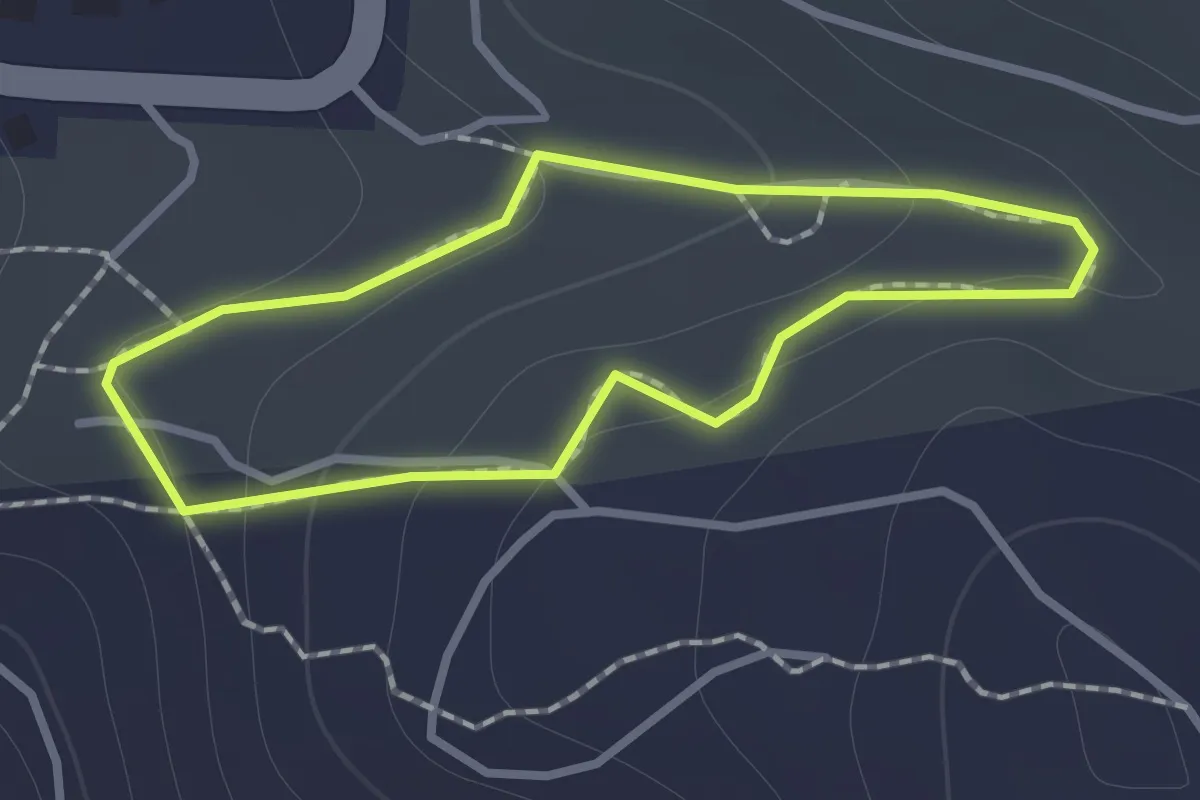
Easy · Trail
Geological Hike
1.1 km · ↑ 55 m · 24 min
Medium · Trail
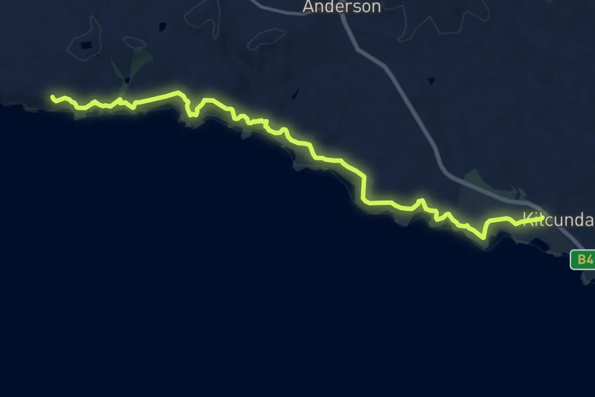
George Bass Coastal Walk
15.7 km · ↑ 369 m · 4 h 31 min
Medium · Trail
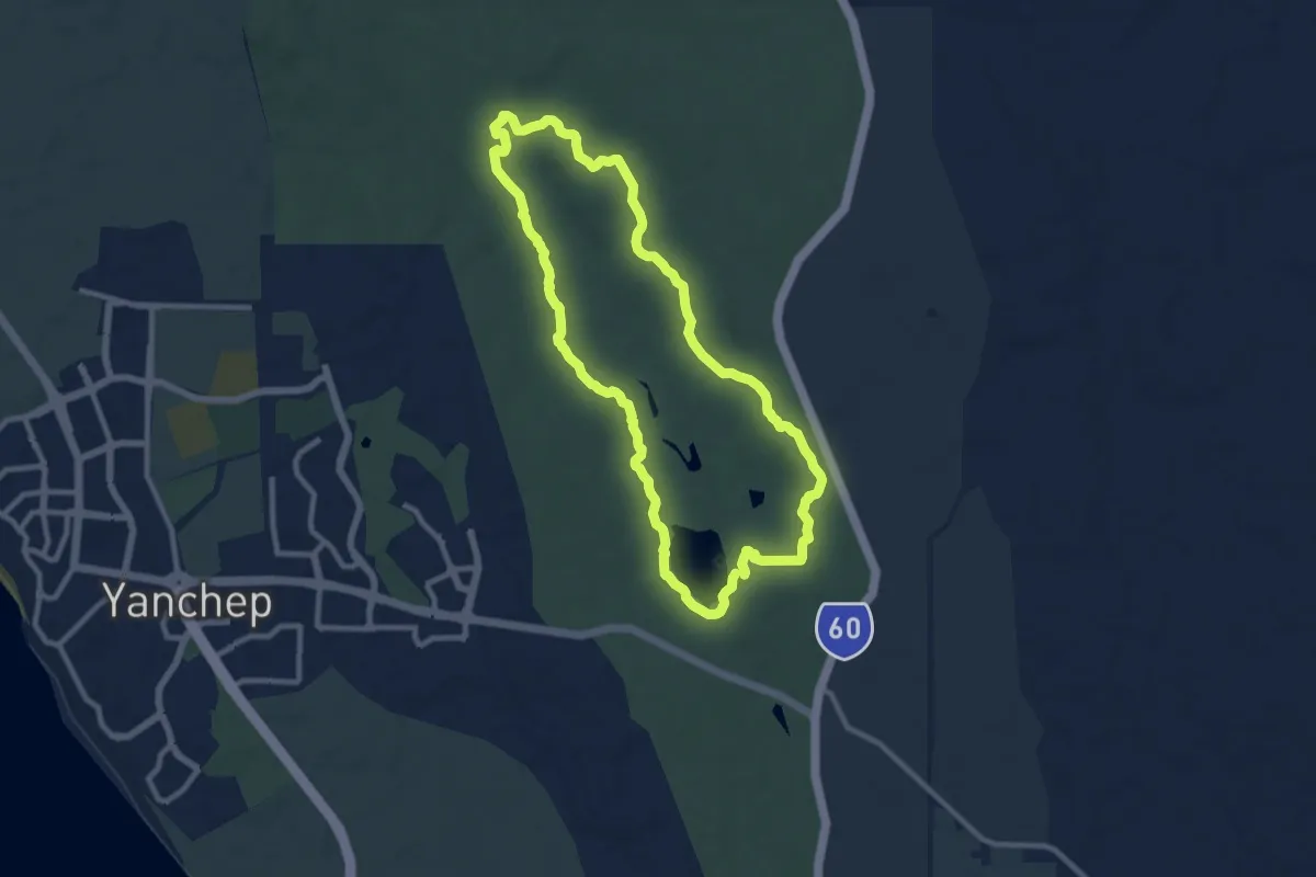
Ghost House Trail
11.5 km · ↑ 106 m · 3 h 6 min
Demanding · Summit
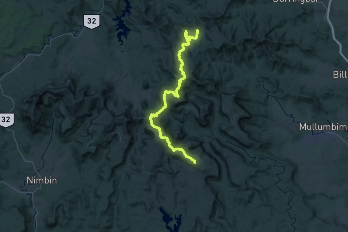
Gidjuum Gulganyi Walk
50.9 km · ↑ 2562 m · 17 h 33 min
Easy · Trail
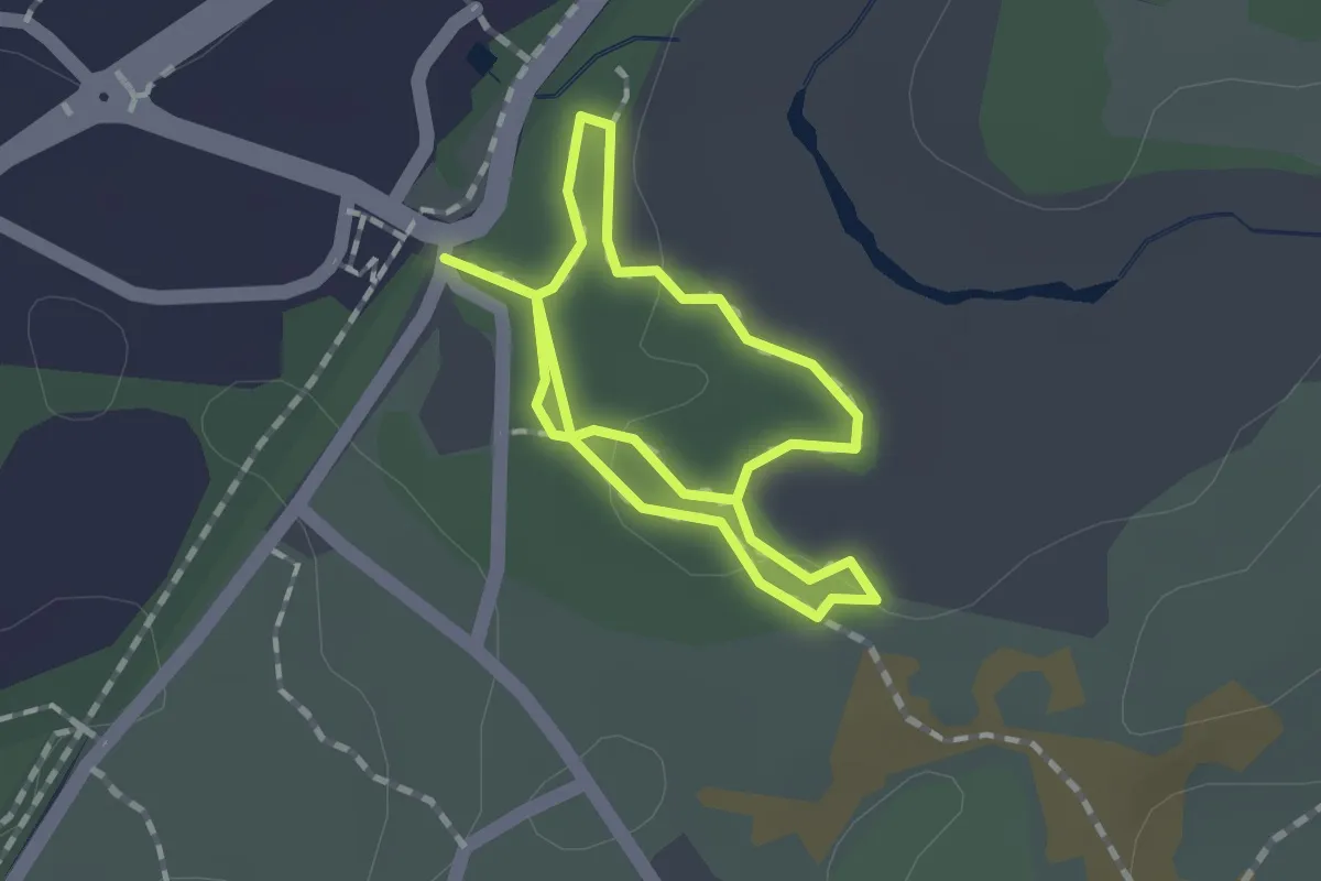
Gilbey Loop Walk
2.9 km · ↑ 13 m · 43 min
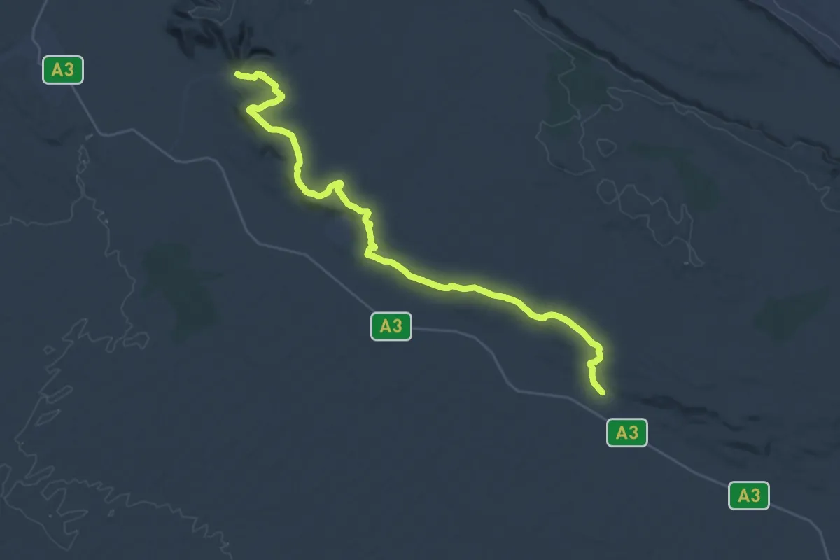
Demanding · Trail
Giles Track
20.5 km · ↑ 402 m · 5 h 58 min
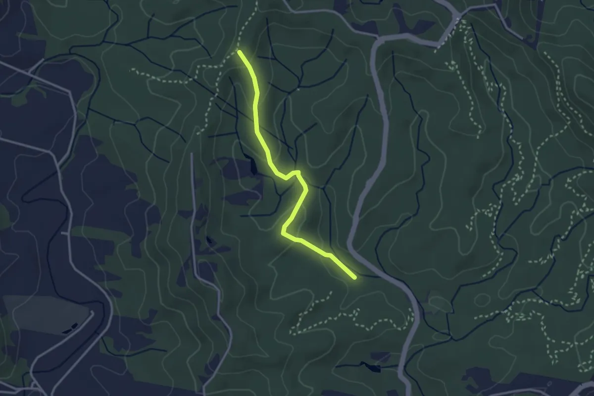
Easy · Trail
Goanna Trail
3.4 km · ↑ 127 m · 1 h 5 min
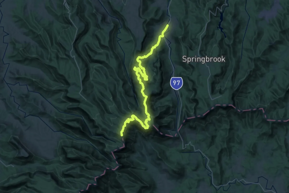
Demanding · Summit
Gold Coast Hinterland Great Walk
54.4 km · ↑ 2340 m · 17 h 55 min
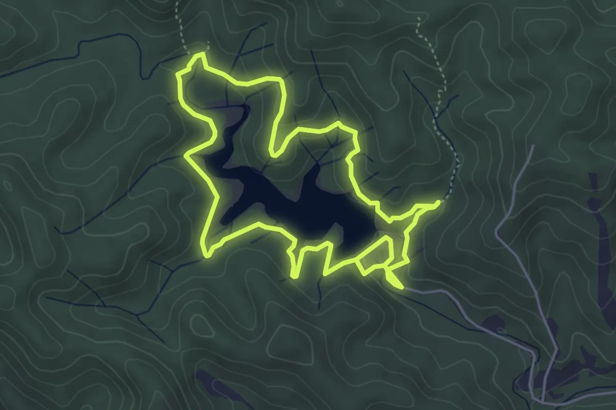
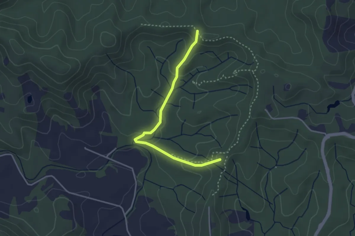
Medium · Trail
Gold Creek Reservoir Walking Track
5.9 km · ↑ 170 m · 1 h 51 min
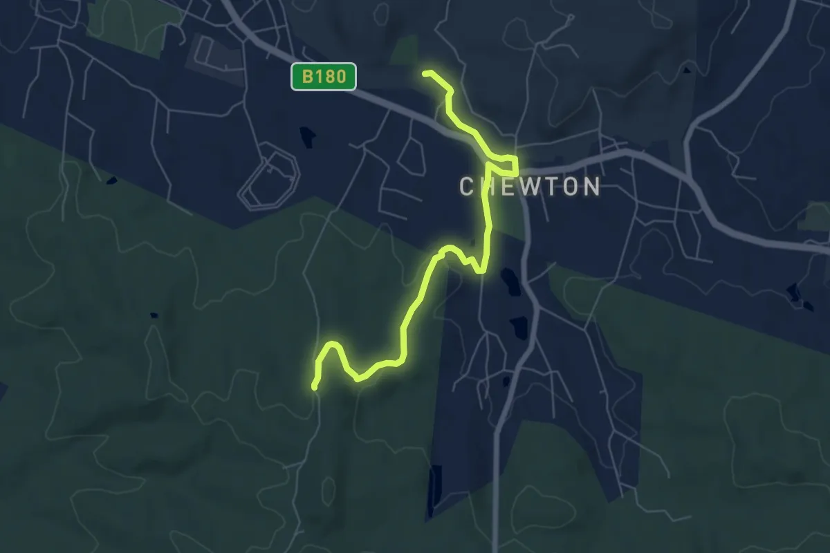
Easy · Trail
Gold Creek Trail
4.0 km · ↑ 166 m · 1 h 18 min
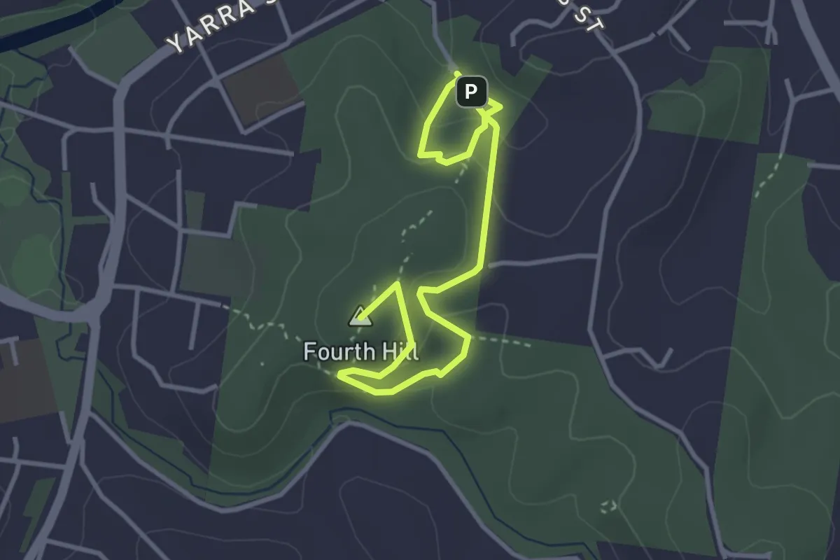
Easy · Trail
Goldfields Track (Chewton / Castlemaine Bypass)
7.4 km · ↑ 112 m · 1 h 59 min
Easy · Summit
Gold Heritage Walk
4.7 km · ↑ 229 m · 1 h 37 min
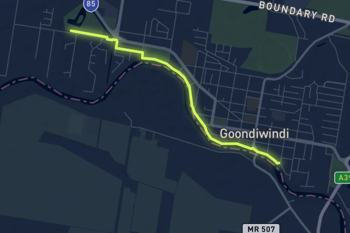
Medium · Trail
Goondiwindi Riverwalk
8.7 km · ↑ 15 m · 2 h 5 min
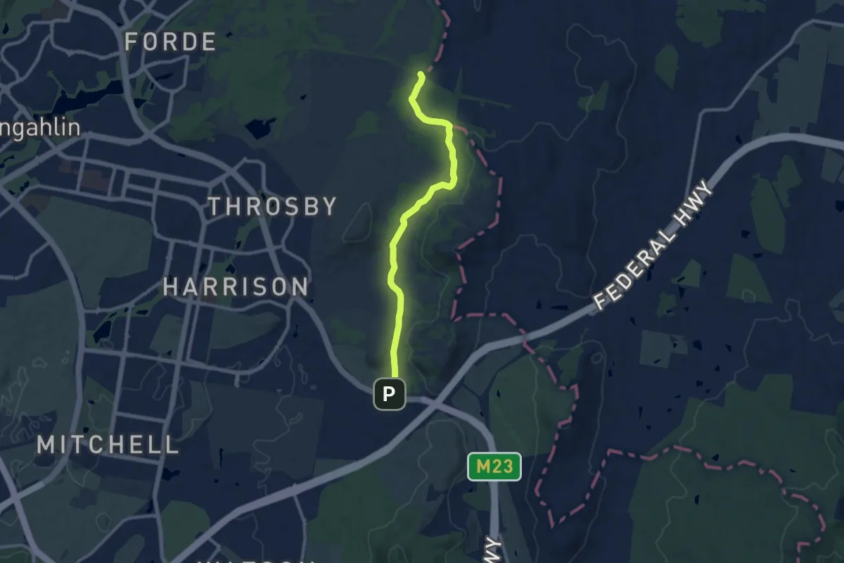
Medium · Trail
Goorooyarroo Track
11.0 km · ↑ 143 m · 2 h 54 min
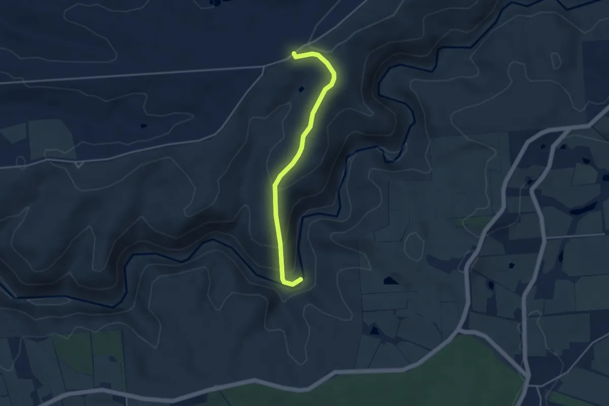
Easy · Trail
Gorge Link Track
4.3 km · ↑ 167 m · 1 h 23 min
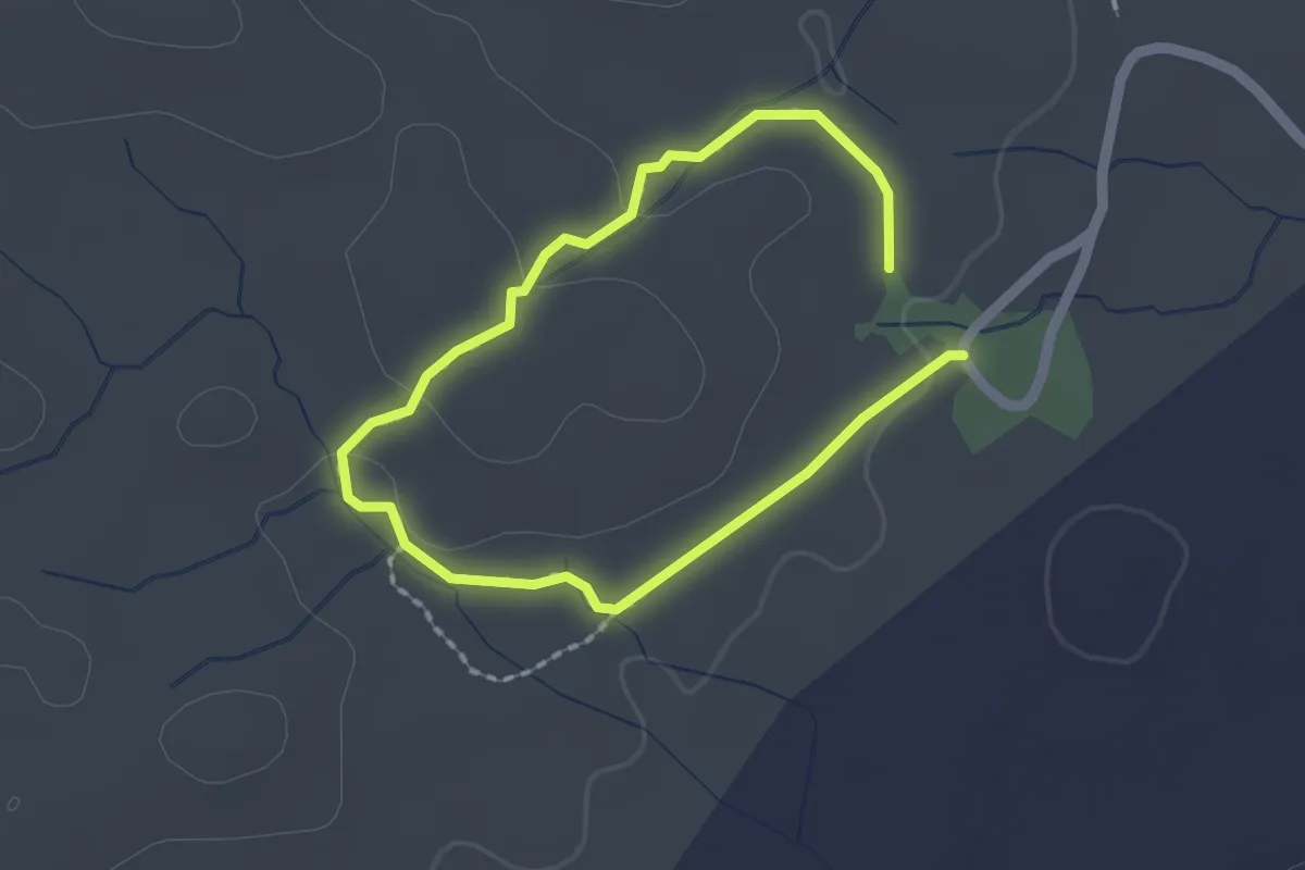
Easy · Trail
Granites Nature Trail (Long Loop)
1.8 km · ↑ 23 m · 29 min
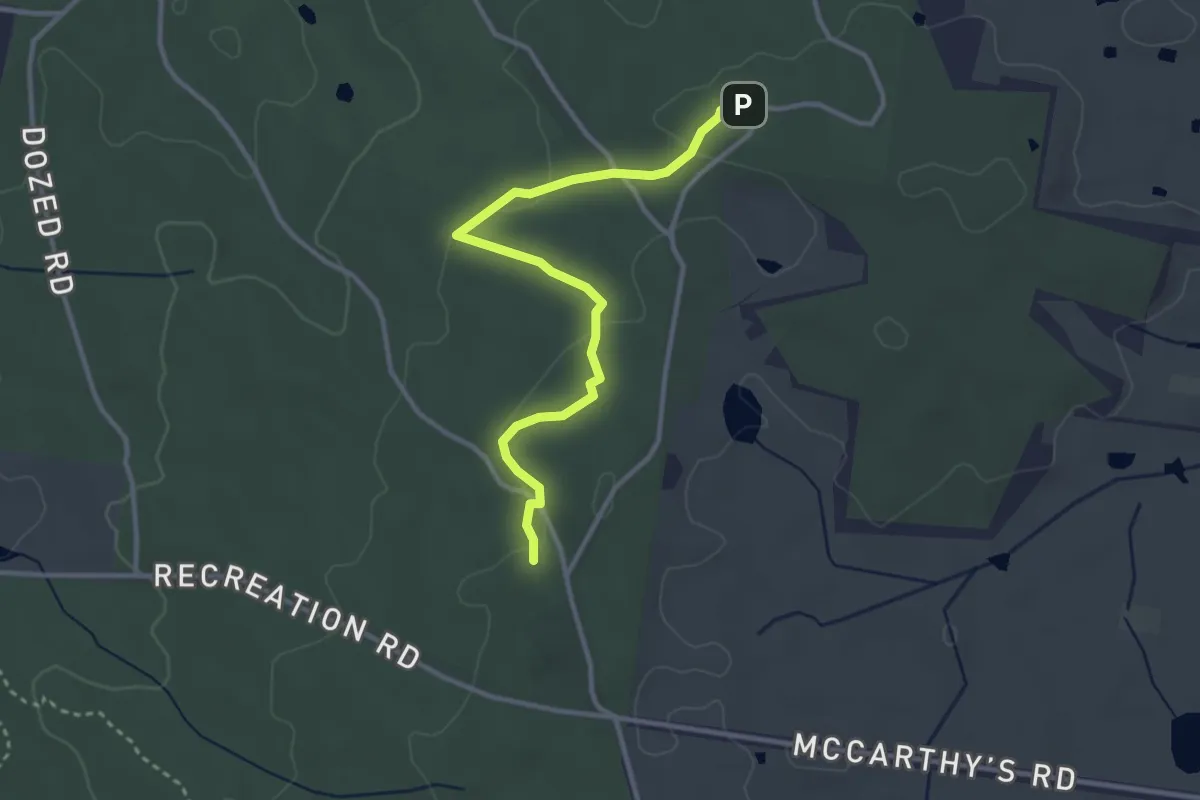
Easy · Trail
Grass Tree Trail
3.8 km · ↑ 75 m · 1 h 4 min
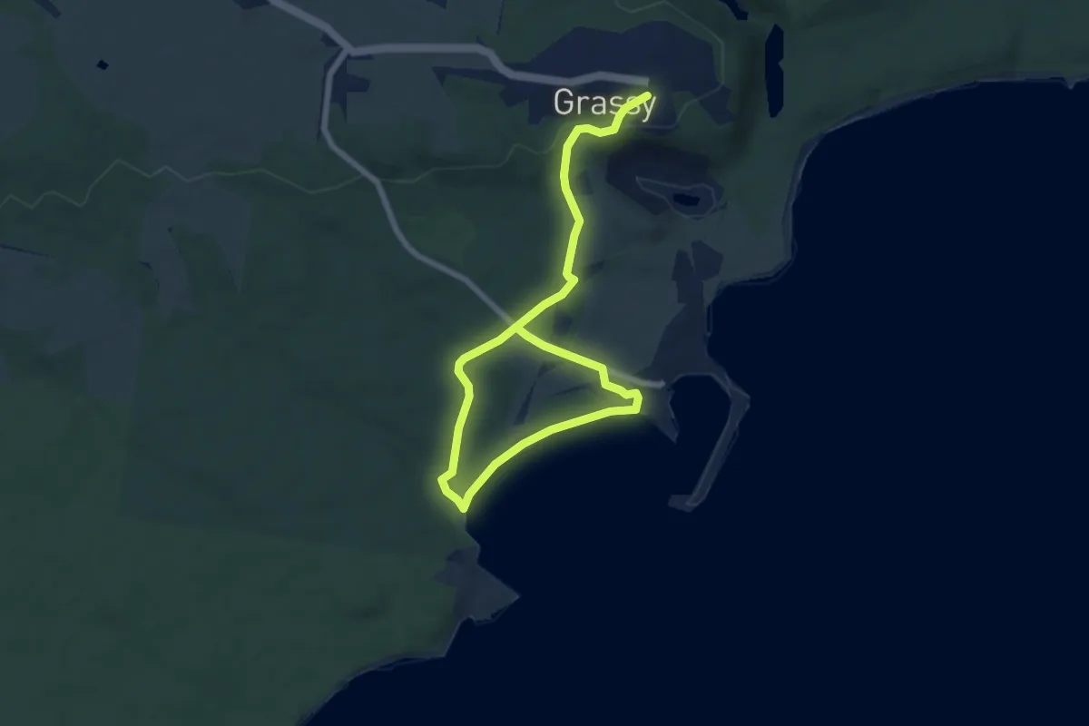
Medium · Trail
Grassy Township to Sandblow Point
10.1 km · ↑ 177 m · 2 h 47 min
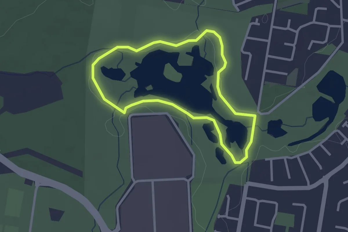
Easy · Trail
Greater Wetland Walk
2.7 km · ↑ 11 m · 42 min
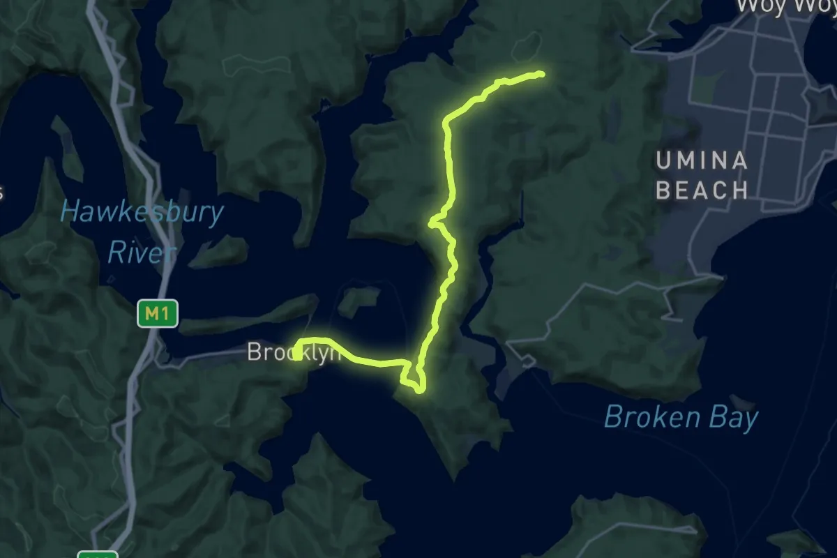
Demanding · Trail
Great North Walk - Alternate route via Little Wobby
23.7 km · ↑ 644 m · 6 h 59 min
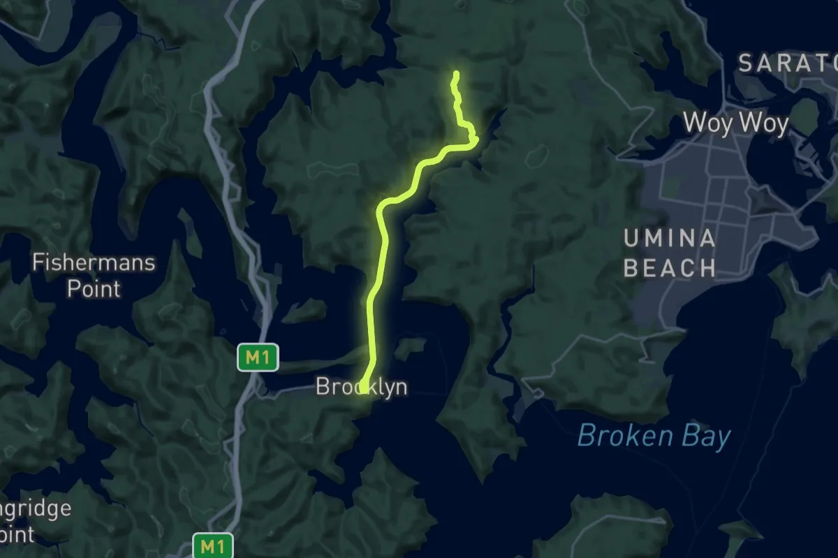
Demanding · Trail
Great North Walk - Alternate route via Wondabyne
21.2 km · ↑ 673 m · 6 h 28 min
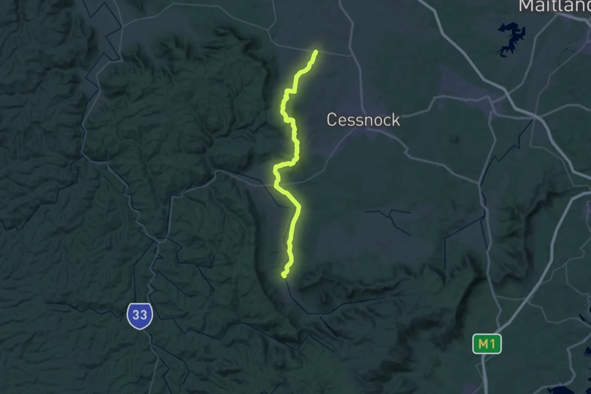
Demanding · Trail
Great North Walk (Pokolbin Spur)
28.4 km · ↑ 669 m · 8 h 32 min
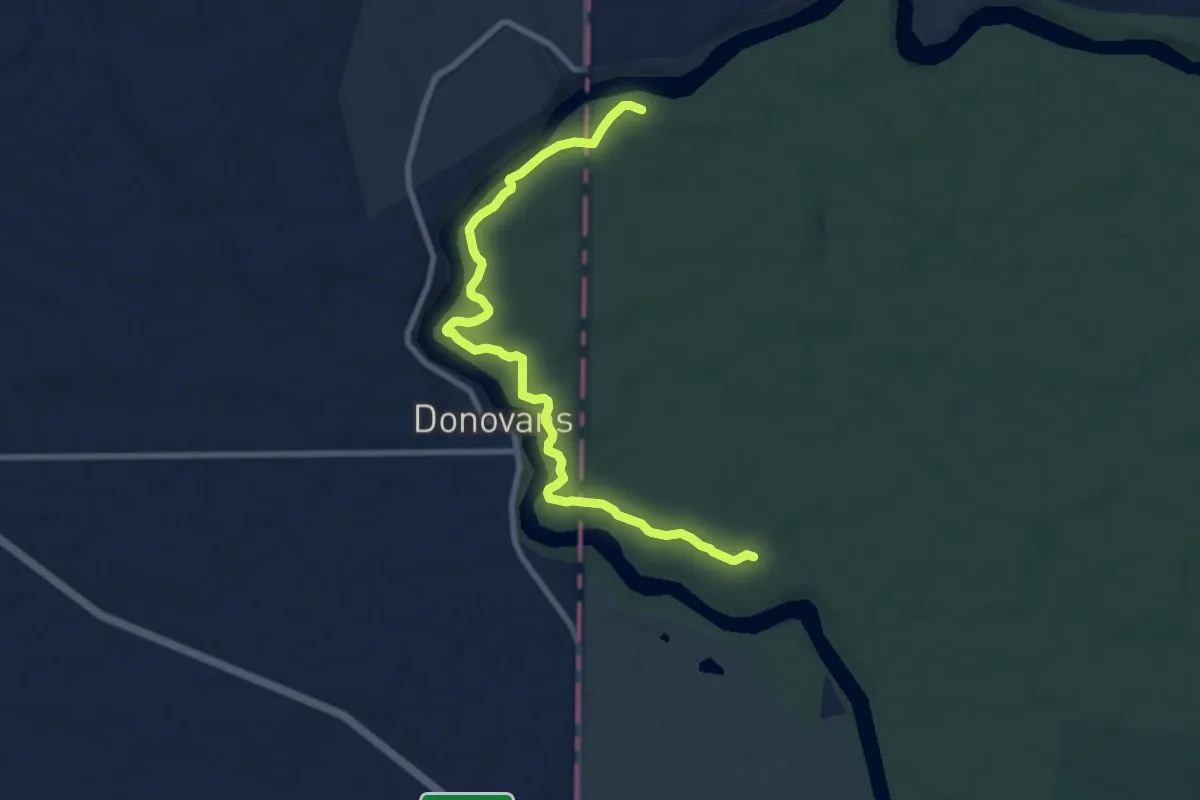
Medium · Trail
Great South West Walk
10.6 km · ↑ 60 m · 2 h 38 min
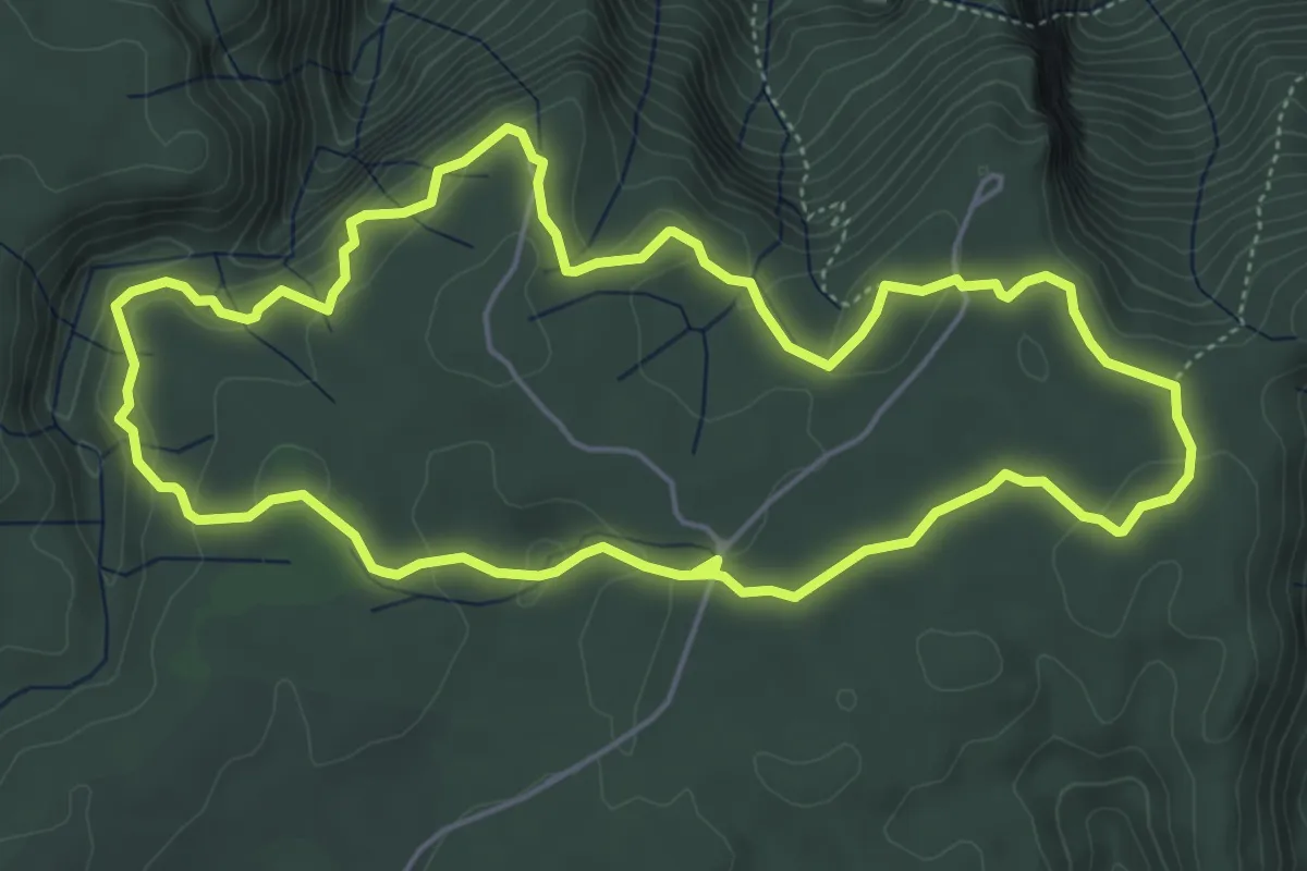
Demanding · Trail
Green Track
6.4 km · ↑ 170 m · 1 h 58 min
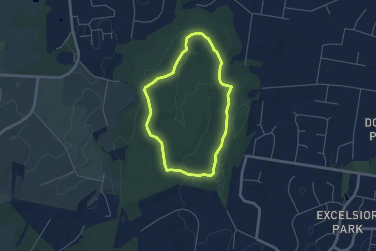
Easy · Trail
Grey Box Circuit
4.5 km · ↑ 38 m · 1 h 12 min
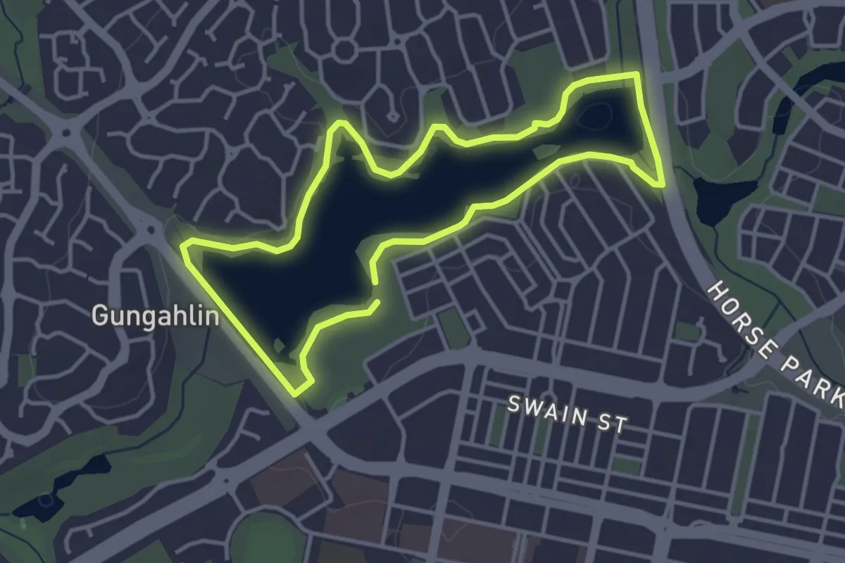
Easy · Trail
Gungahlin parkrun
4.1 km · ↑ 44 m · 1 h 8 min
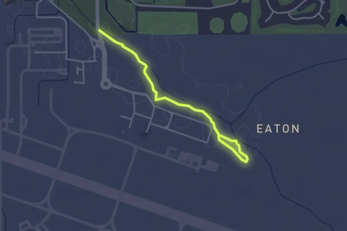
Easy · Trail
Gurambai Cultural Trail
4.2 km · ↑ 4 m · 1 h 1 min
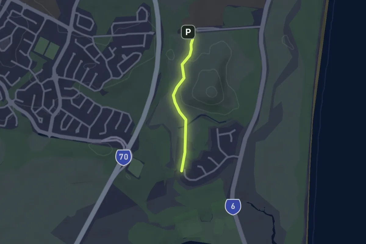
Easy · Trail
Hakea Track
2.3 km · ↑ 22 m · 36 min
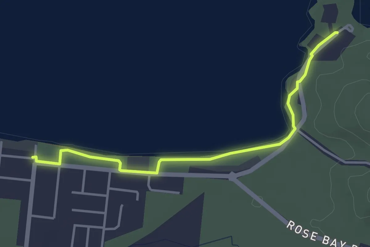
Easy · Trail
Hansen Park to Horseshoe Bay Walk
4.7 km · ↑ 8 m · 1 h 8 min
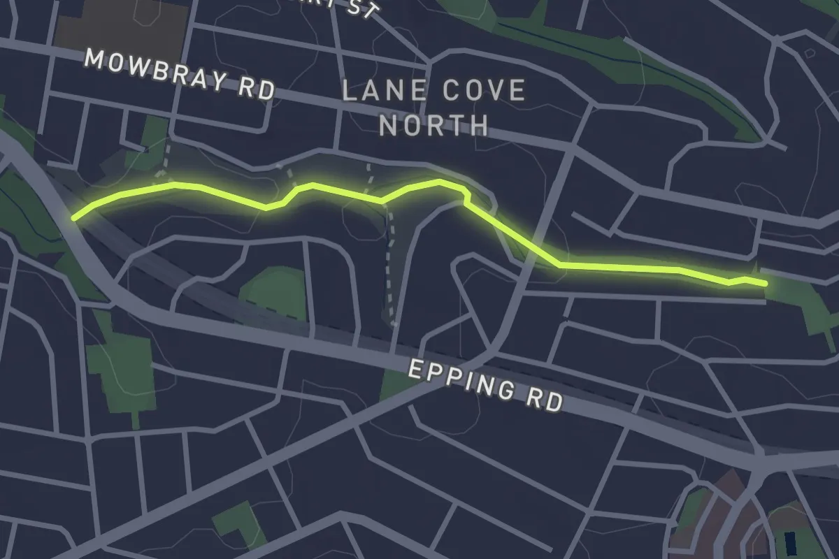
Easy · Trail
Harry Howard Bushwalk through Stringybark and Batten Reserves
3.3 km · ↑ 60 m · 54 min
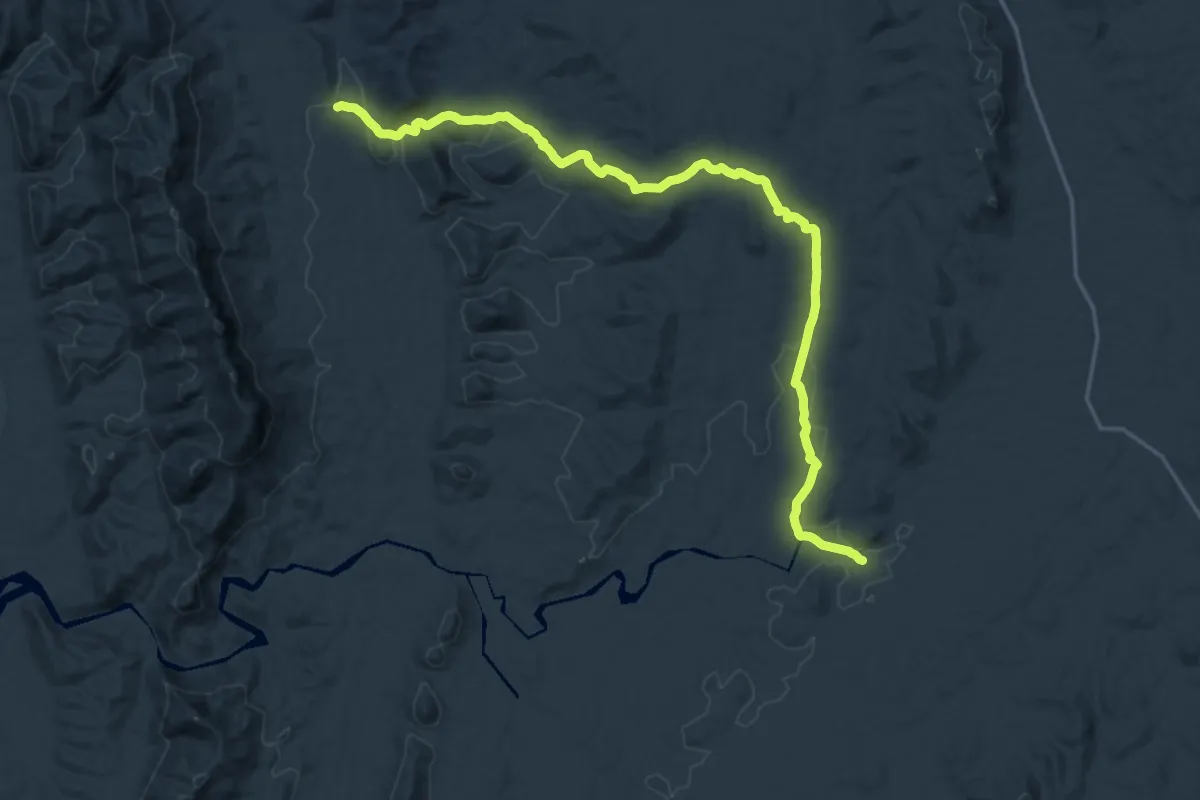
Demanding · Trail
Haywards Hike
26.6 km · ↑ 533 m · 7 h 26 min
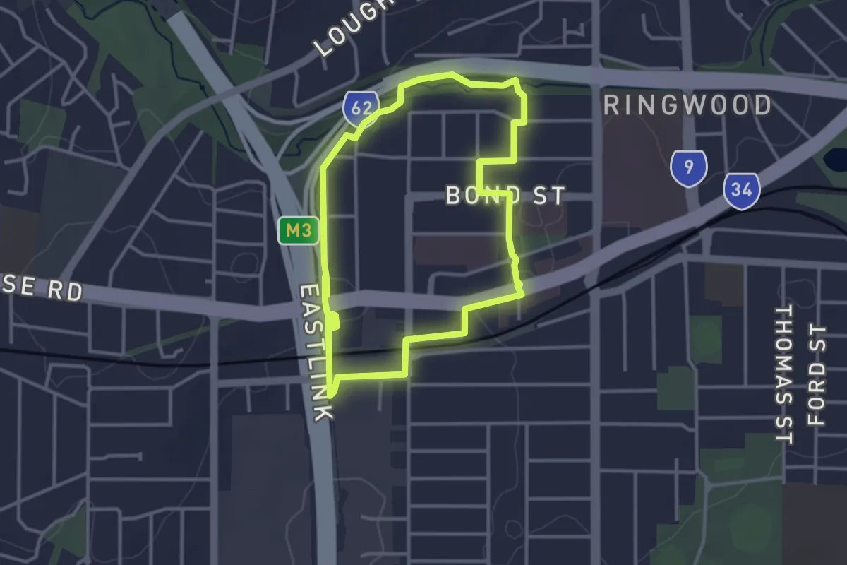
Easy · Trail
Heatherdale Walking Route
3.6 km · ↑ 32 m · 57 min
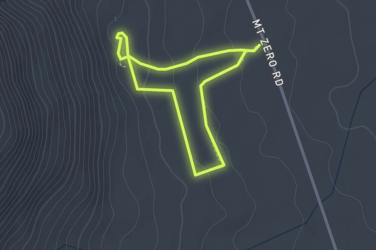
Easy · Trail
Heatherlie Quarry
1.9 km · ↑ 48 m · 34 min
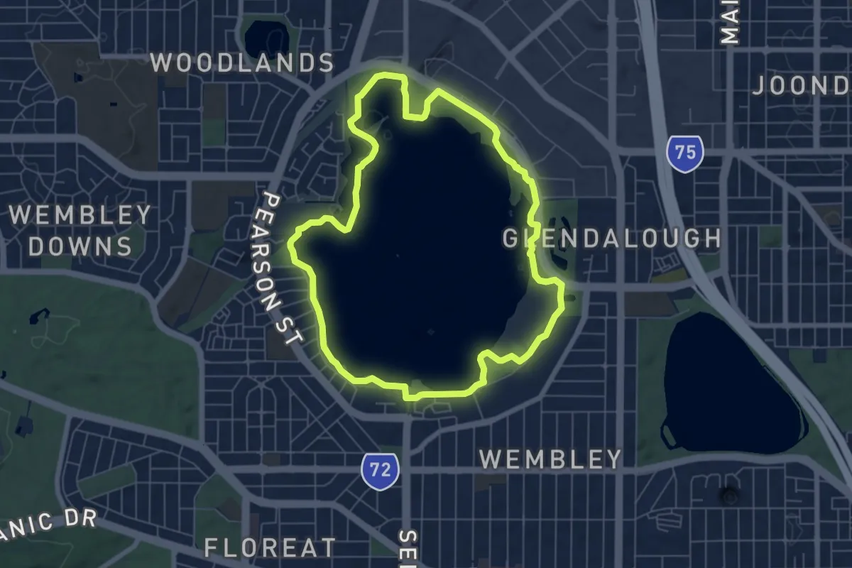
Easy · Trail
Herdsman Loop Trail
7.9 km · ↑ 112 m · 2 h 13 min
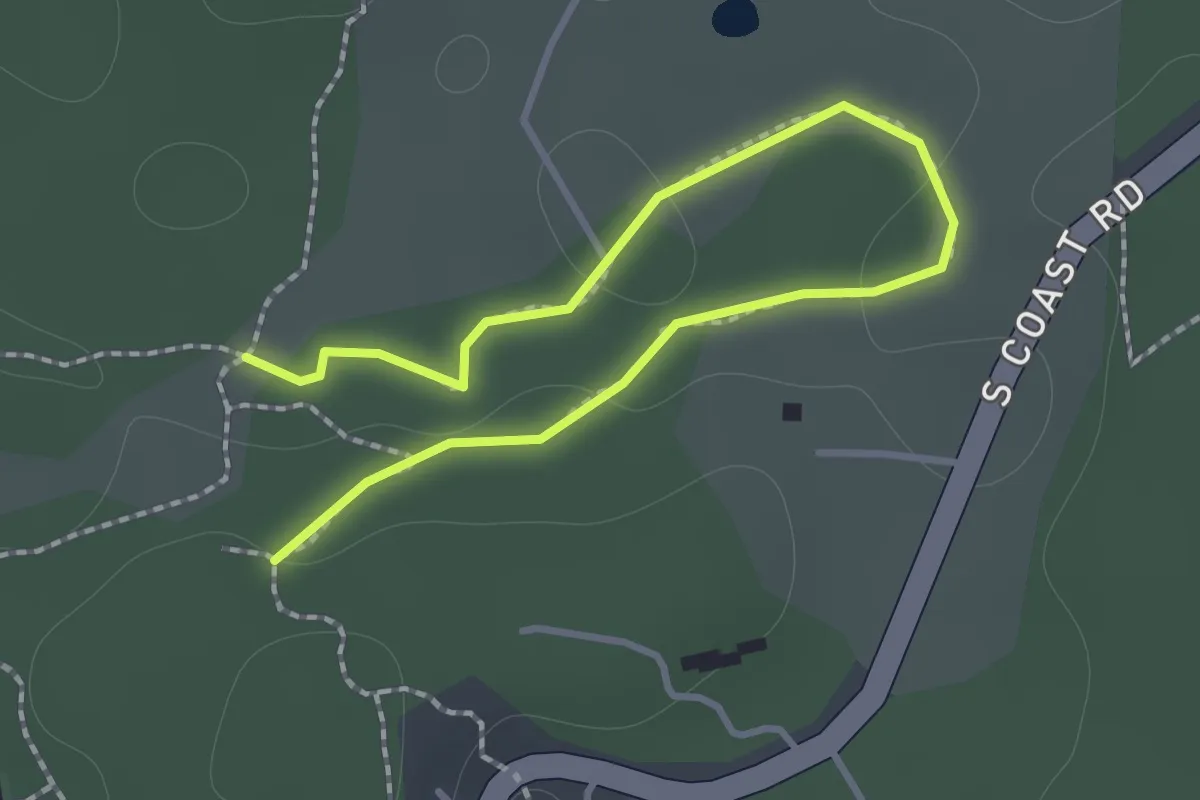
Easy · Trail
Heritage Walk
1.0 km · ↑ 28 m · 19 min
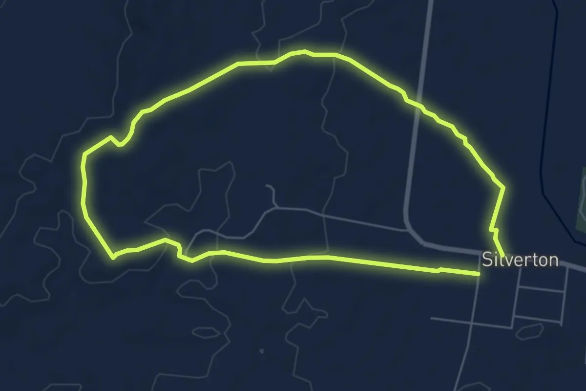
Medium · Trail
Heritage Walk Trail
12.7 km · ↑ 134 m · 3 h 17 min
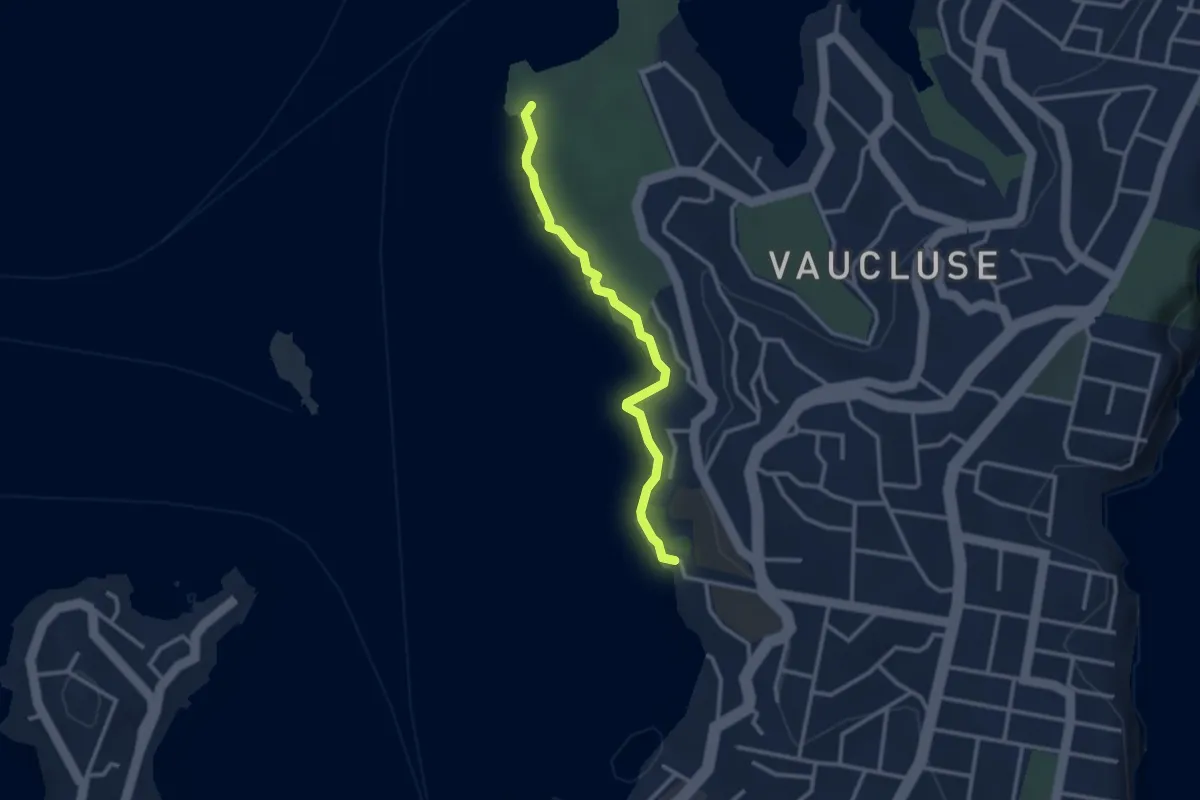
Easy · Trail
Hermitage Foreshore Walk
3.3 km · ↑ 98 m · 1 h
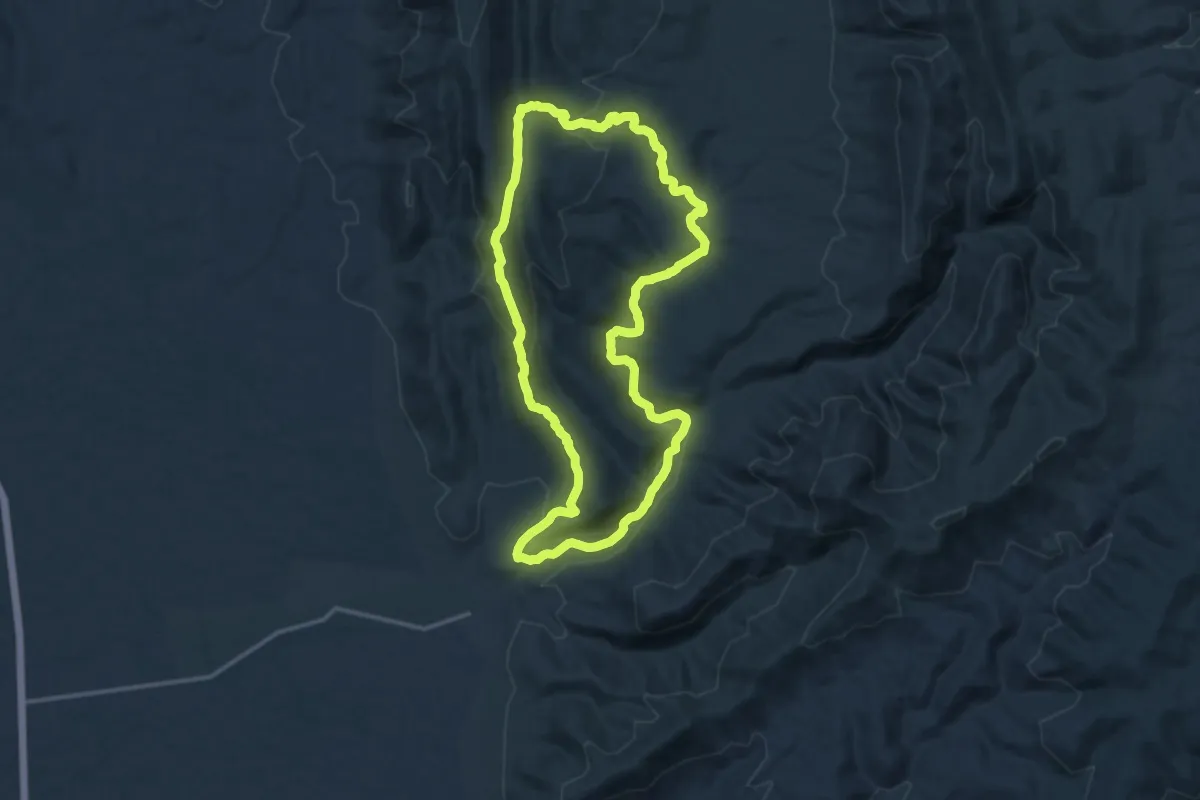
Medium · Trail
Hidden Gorge Hike
16.1 km · ↑ 420 m · 4 h 56 min
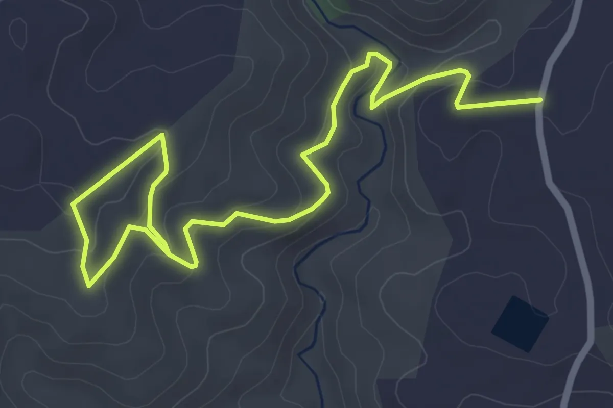
Easy · Trail
Hindmarsh River Gorge Hike
7.3 km · ↑ 313 m · 2 h 24 min
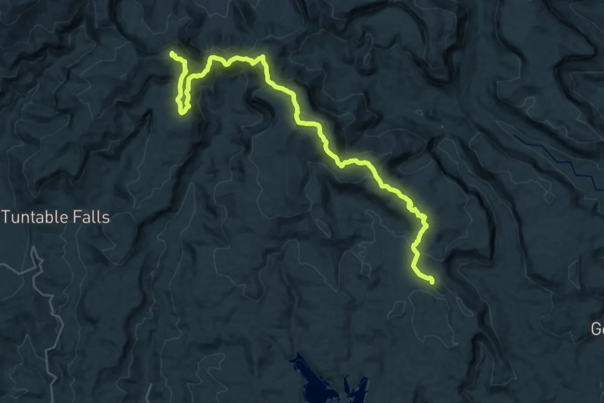
Demanding · Summit
Historic Nightcap Track
33.2 km · ↑ 1609 m · 11 h 20 min
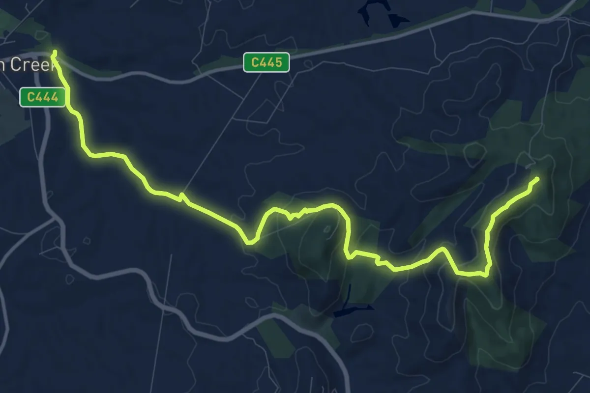
Medium · Summit
Hoddle Mountain Trail
14.9 km · ↑ 505 m · 4 h 37 min