Trails in Australia
551 hiking trails, each with its route, climb, walking time and grade.
All trails, page 5 of 12
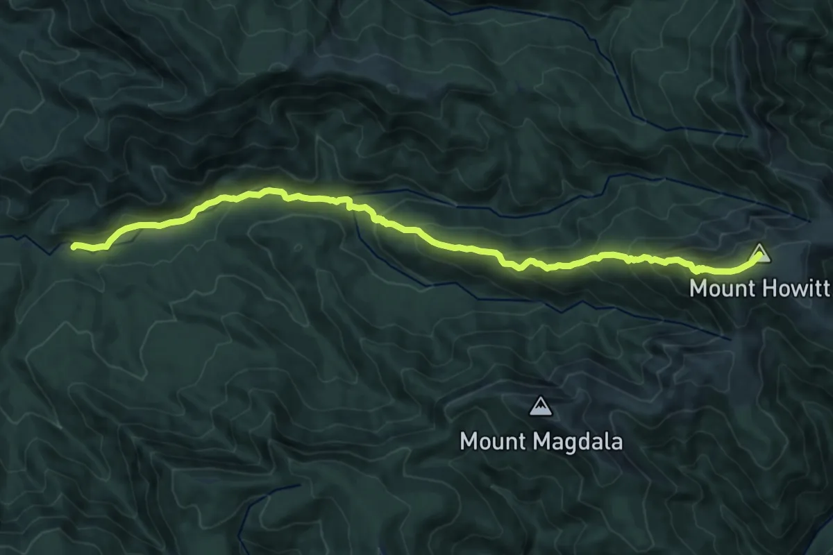
Demanding · Summit
Howqua Feeder Track
17.2 km · ↑ 997 m · 6 h 13 min
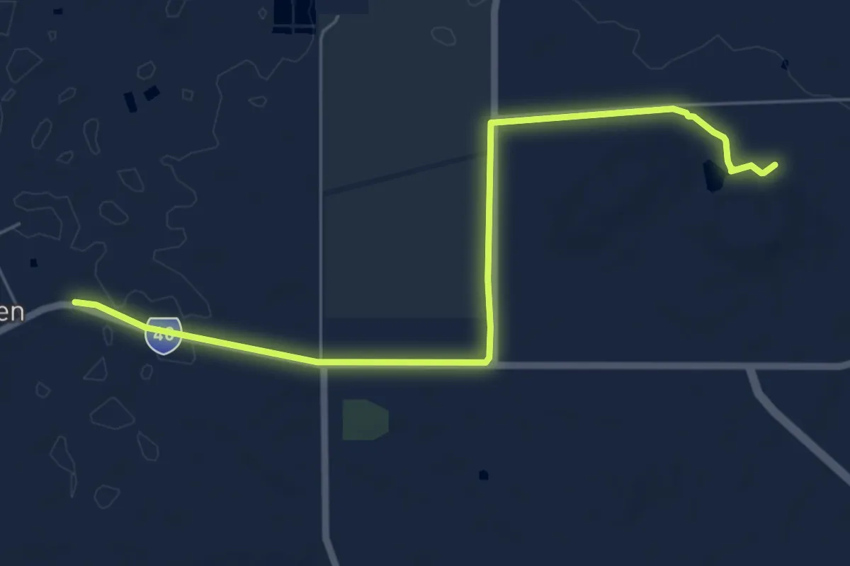
Medium · Trail
Hyden to Wave Rock Walk
8.0 km · ↑ 45 m · 1 h 59 min
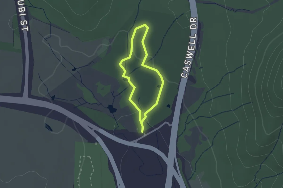
Easy · Trail
Ian Loiterton South Aranda Bushland Walk
1.7 km · ↑ 32 m · 30 min
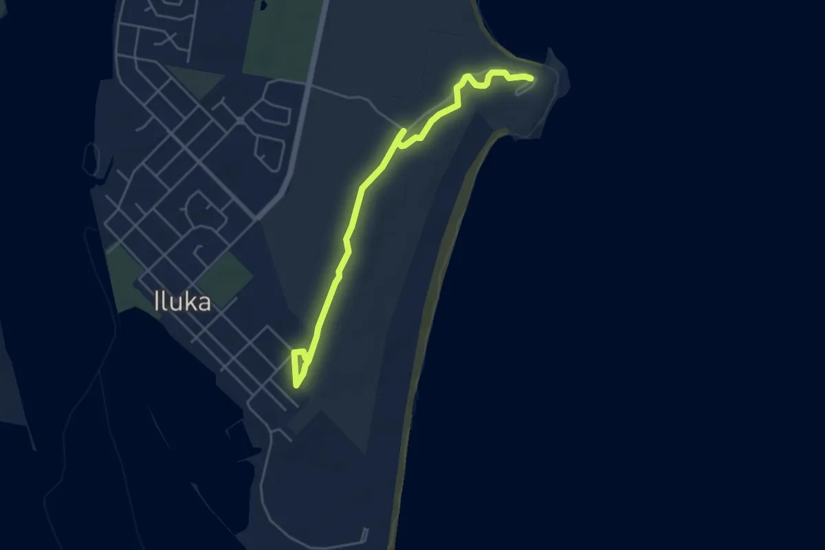
Easy · Trail
Iluka Rainforest walking track
6.2 km · ↑ 42 m · 1 h 34 min
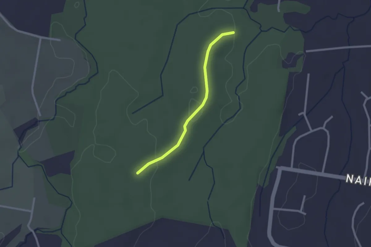
Easy · Trail
Ironbark Ridge Walking Trail
2.5 km · ↑ 23 m · 38 min
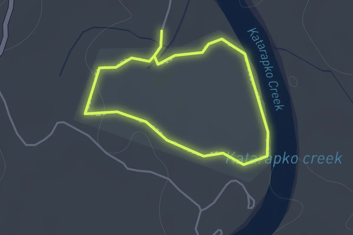
Easy · Trail
Kai Kai Nature Trail
1.2 km · ↑ 10 m · 20 min
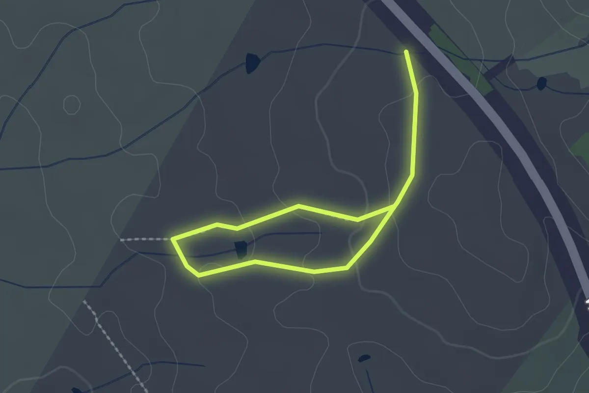
Easy · Trail
Kama Dam Walk
3.4 km · ↑ 91 m · 1 h
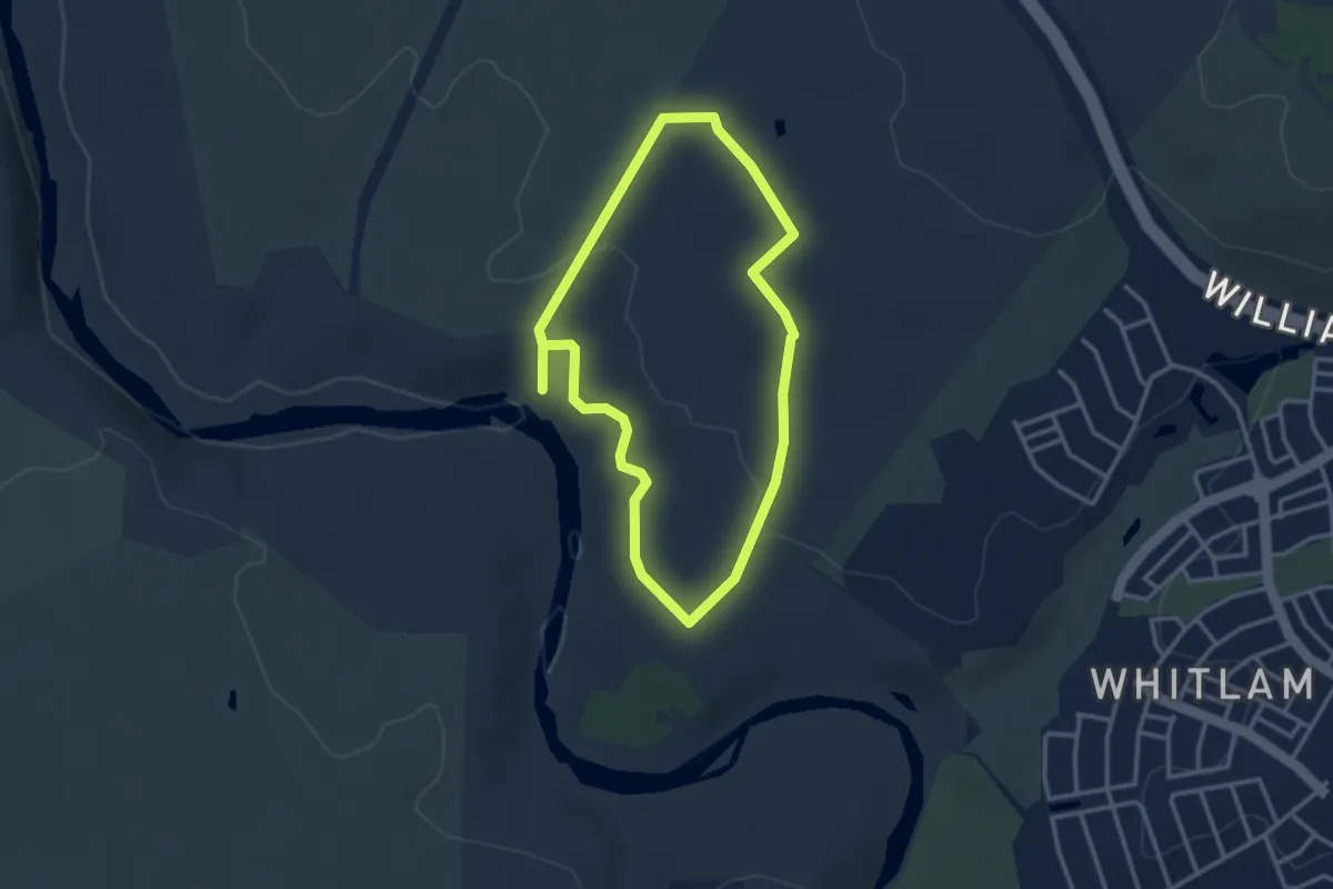
Easy · Trail
Kama River Walk
3.5 km · ↑ 56 m · 1 h
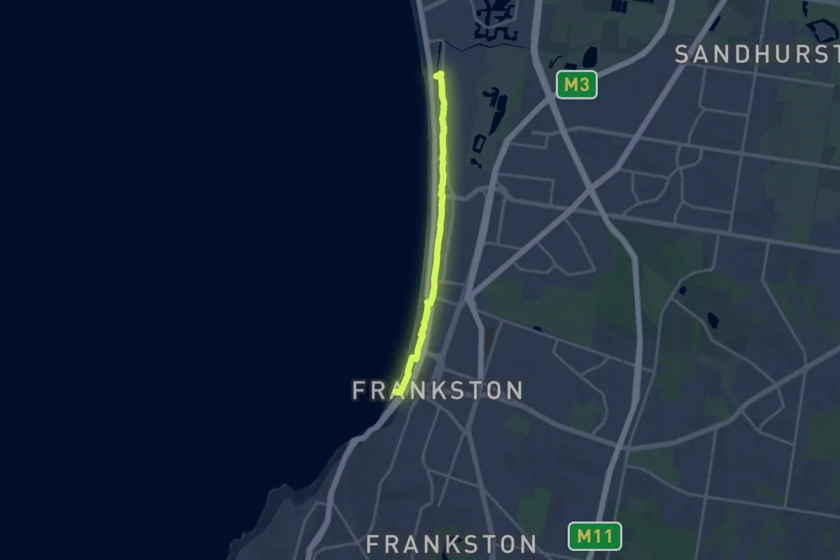
Medium · Trail
Kananook Creek Walk
14.3 km · ↑ 4 m · 3 h 24 min
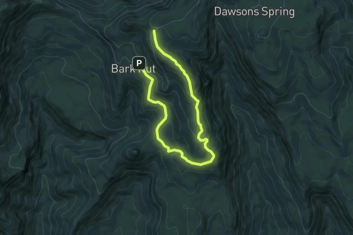
Medium · Trail
Kaputar Plateau Walk
11.5 km · ↑ 447 m · 3 h 41 min
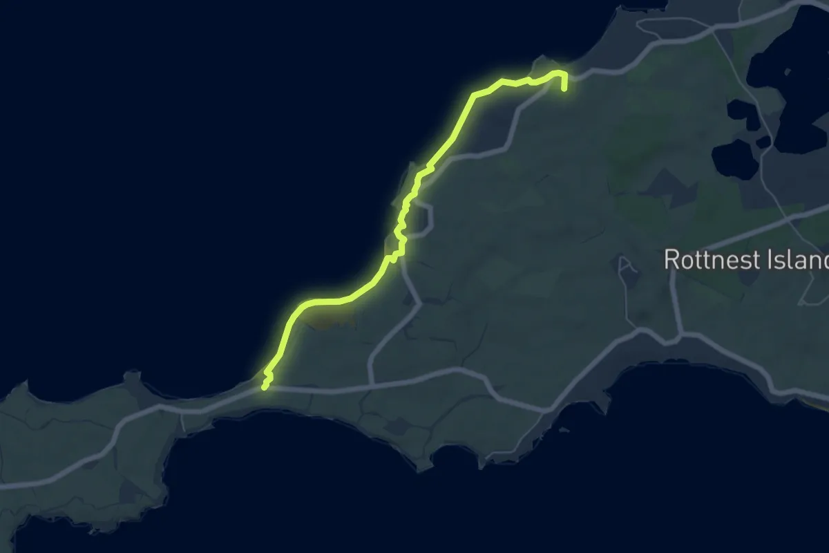
Easy · Summit
Karlinyah Bidi (Northern Beaches)
7.1 km · ↑ 91 m · 1 h 53 min
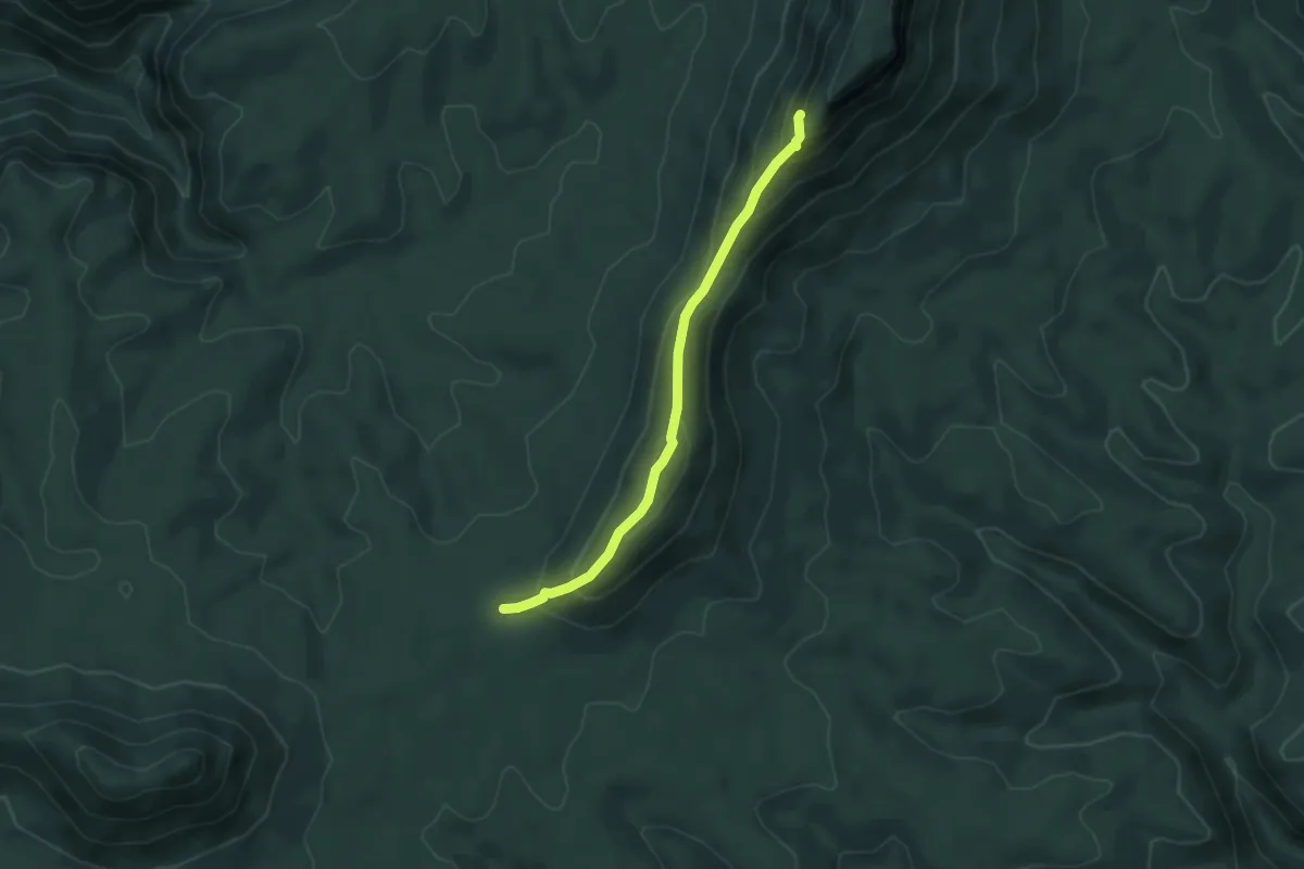
Medium · Trail
Katoomba to Kanangra
4.8 km · ↑ 325 m · 1 h 50 min
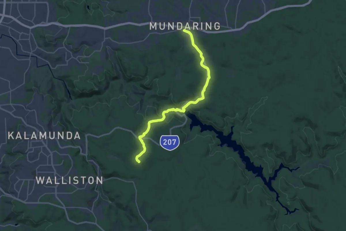
Demanding · Summit
Kattamordo Heritage Trail
29.8 km · ↑ 670 m · 8 h 29 min
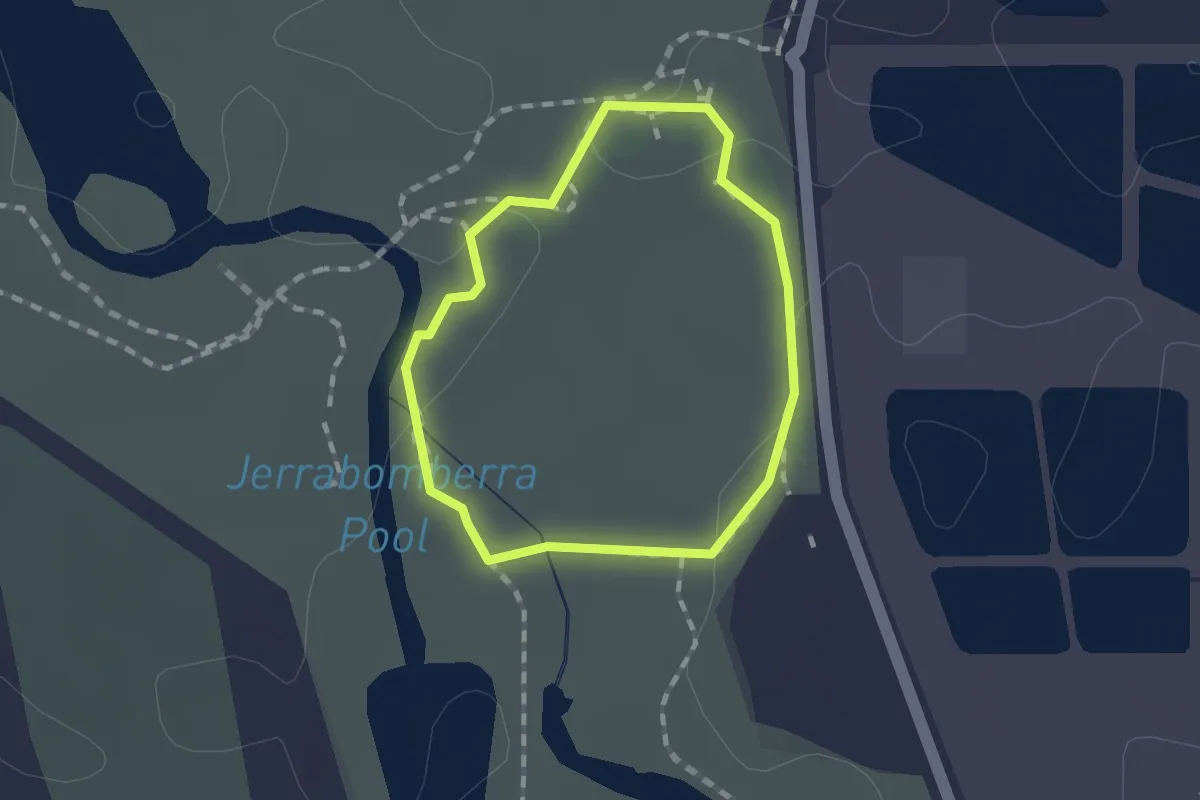
Easy · Trail
Kellys Loop
1.3 km · ↑ 4 m · 19 min
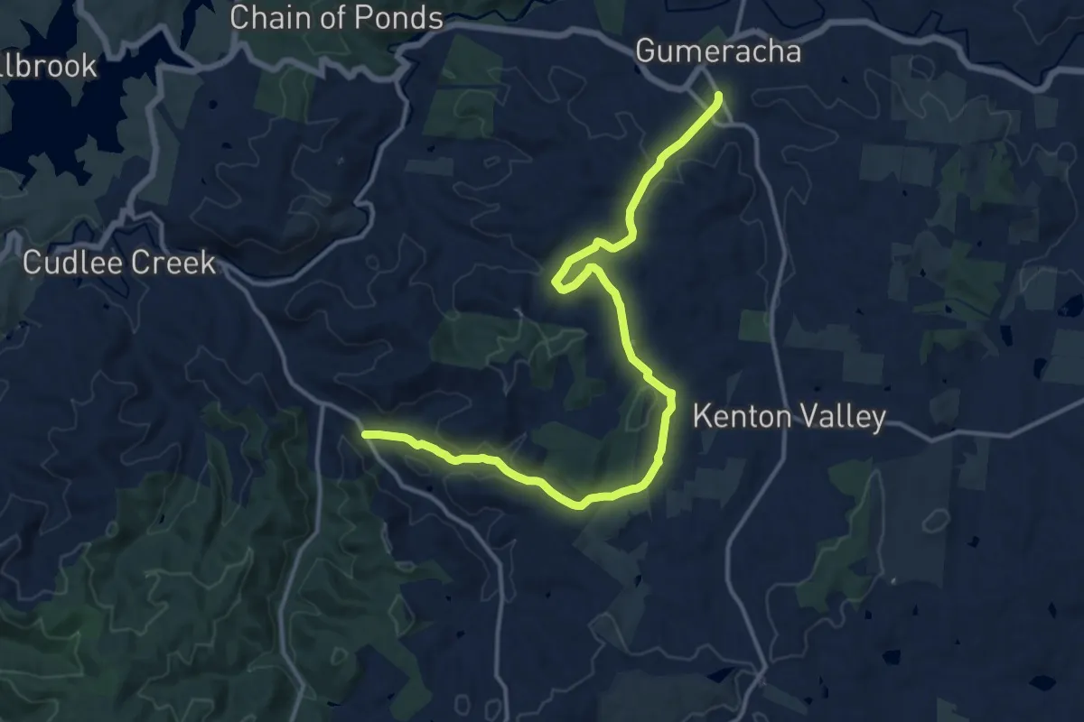
Demanding · Trail
Kenton Valley Ambience Walk
18.0 km · ↑ 448 m · 5 h 13 min
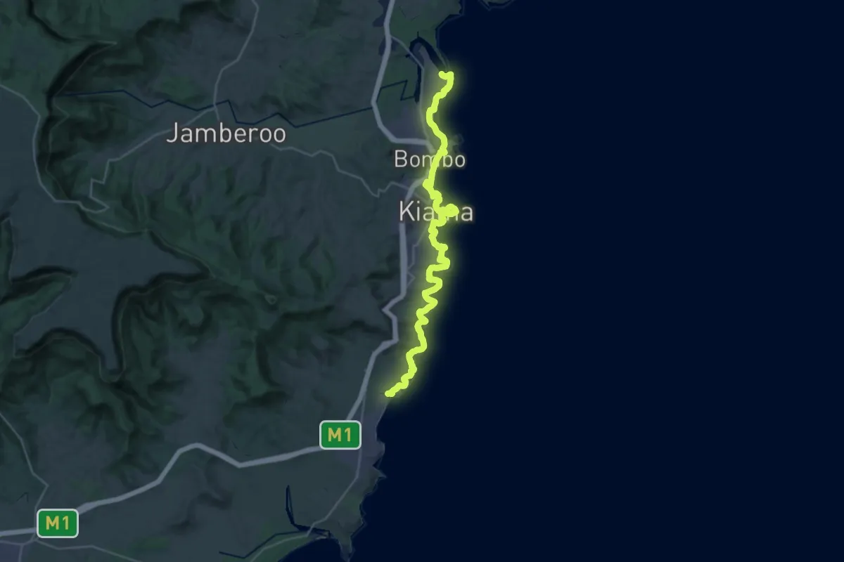
Demanding · Trail
Kiama Coast Walk
18.6 km · ↑ 399 m · 5 h 32 min
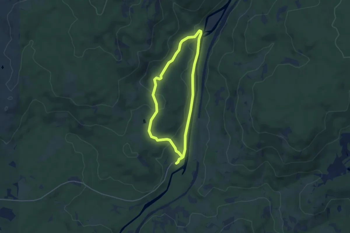
Easy · Trail
Kingfisher Trail
4.2 km · ↑ 101 m · 1 h 16 min
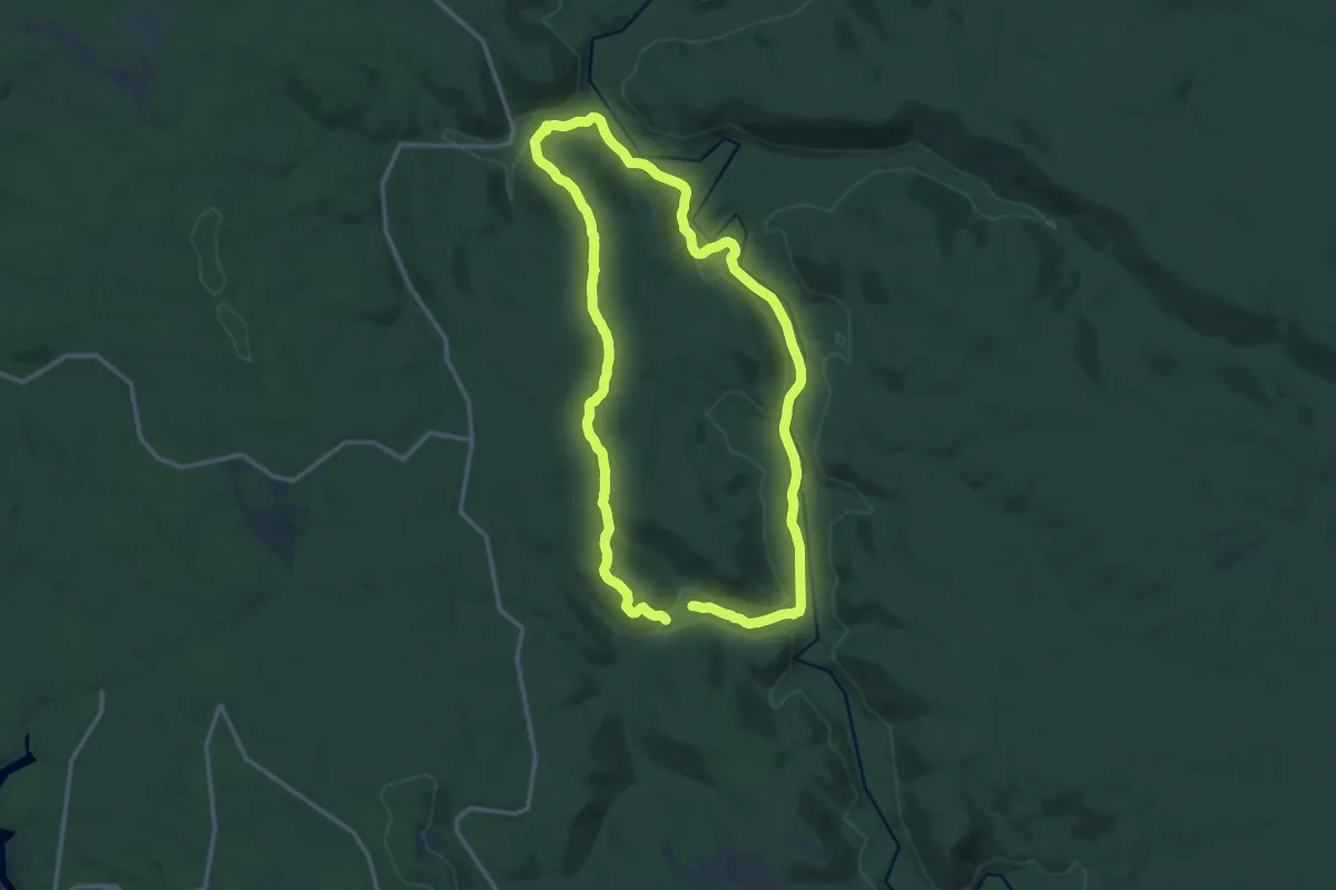
Medium · Trail
King Jarrah Walk Trail
16.8 km · ↑ 352 m · 4 h 58 min
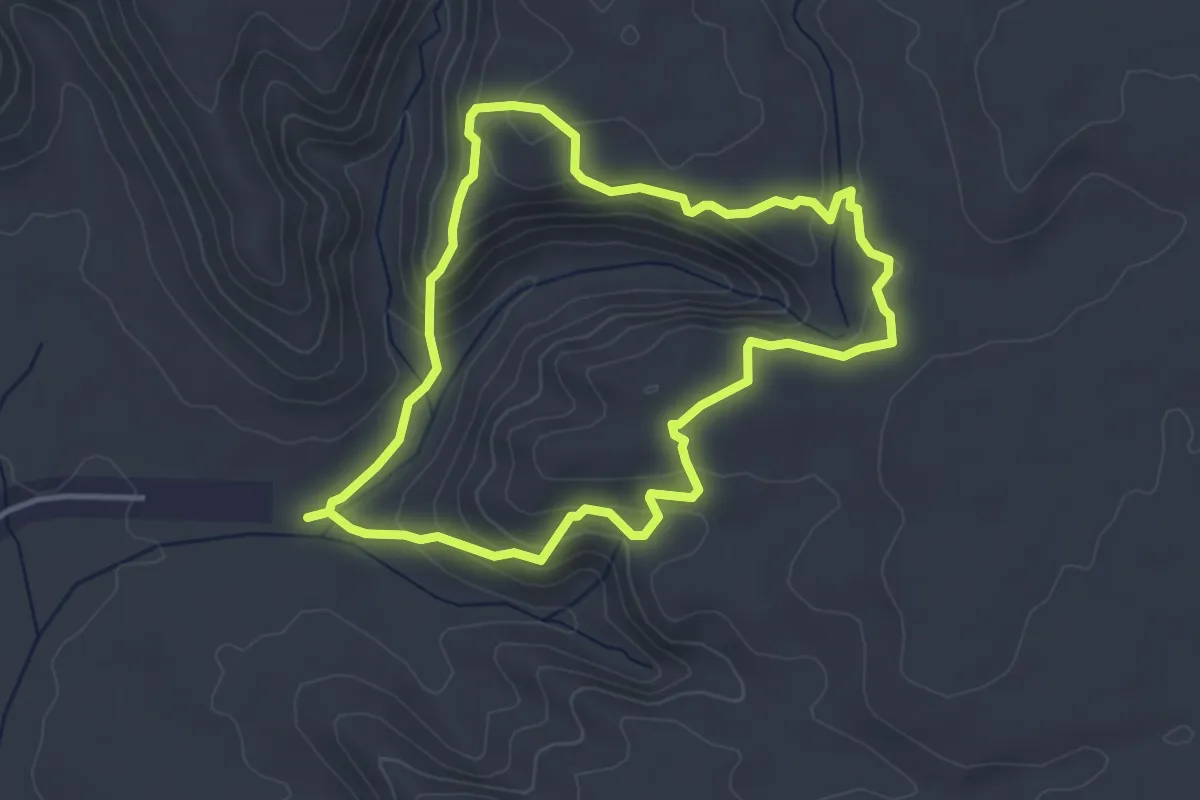
Easy · Trail
Kings Canyon Rim Walk
4.7 km · ↑ 208 m · 1 h 38 min
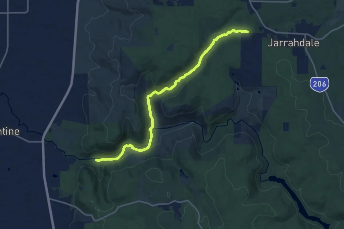
Medium · Trail
Kitty's Gorge Trail
14.2 km · ↑ 304 m · 4 h
Easy · Trail
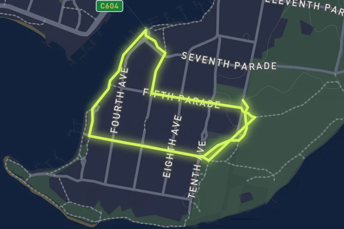
Koala Trail
2.4 km · ↑ 9 m · 37 min
Easy · Trail
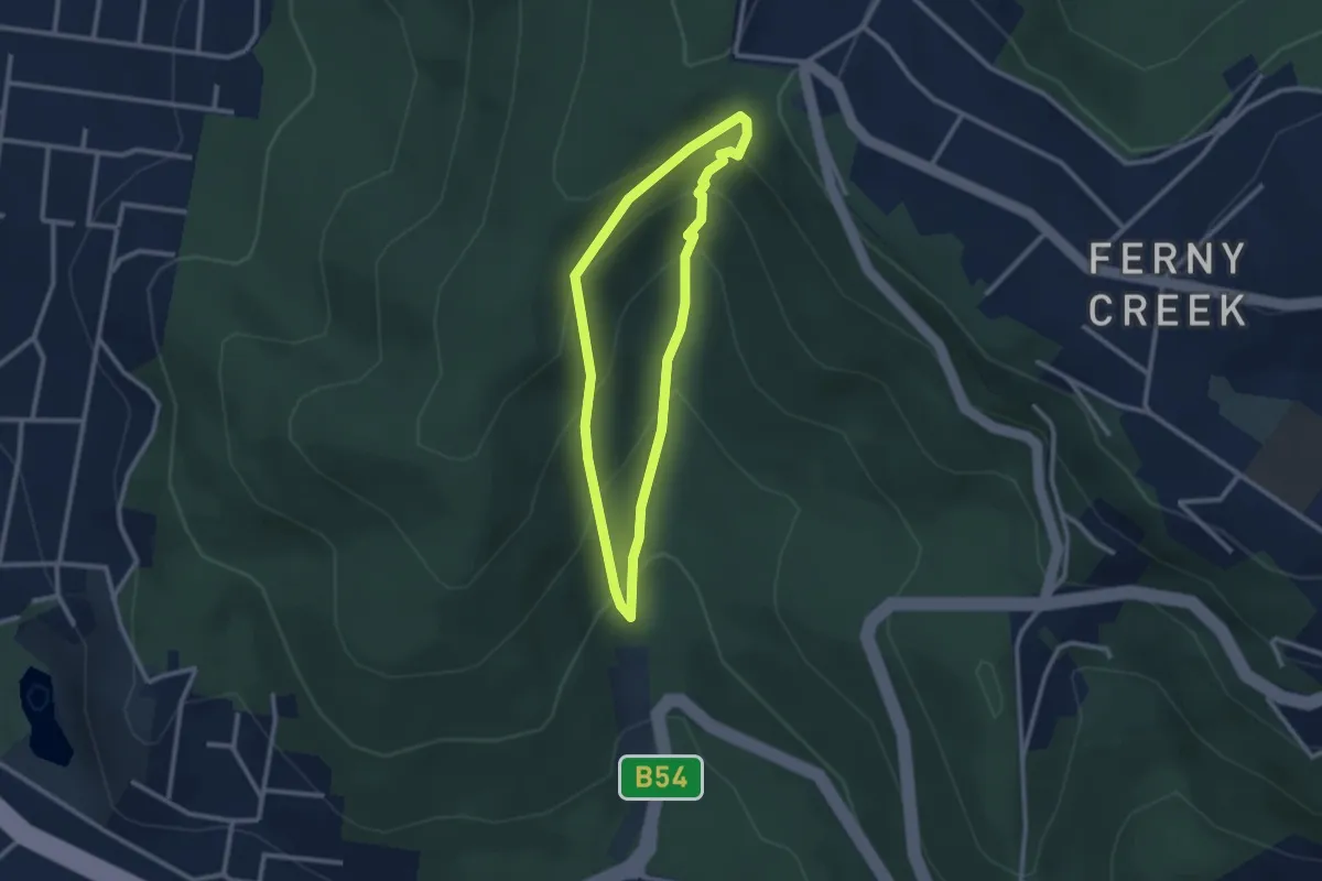
Kokoda Track Loop
2.7 km · ↑ 235 m · 1 h 10 min
Easy · Trail
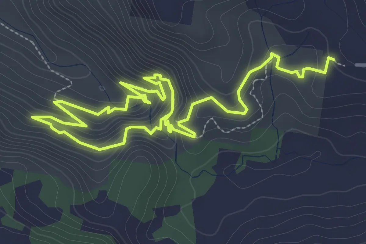
Kondalilla Falls Circuit
3.3 km · ↑ 168 m · 1 h 13 min
Medium · Summit
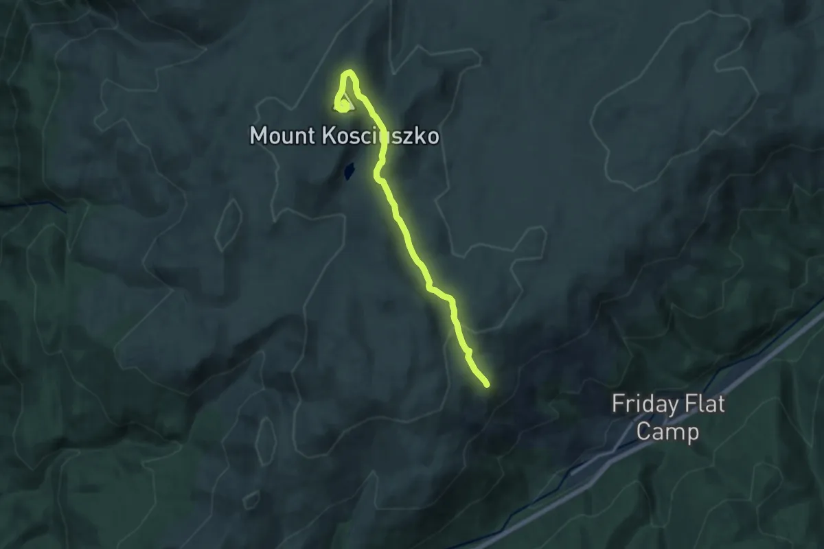
Kosciuszko Walk
12.7 km · ↑ 350 m · 3 h 46 min
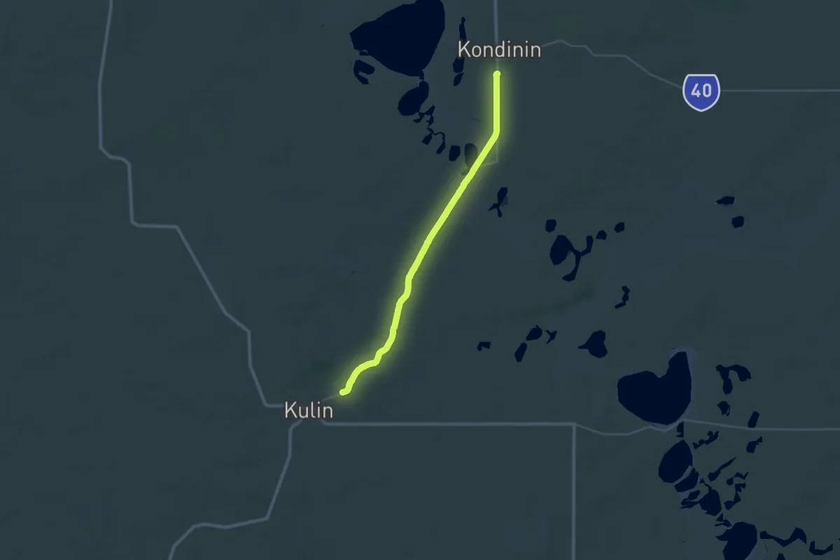
Demanding · Trail
Kulin-Kondinin Walk Trail
20.1 km · ↑ 94 m · 5 h 16 min
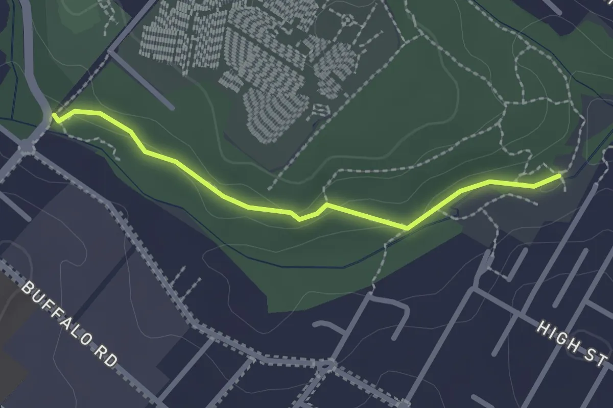
Easy · Trail
Kunzea Track
2.4 km · ↑ 41 m · 39 min
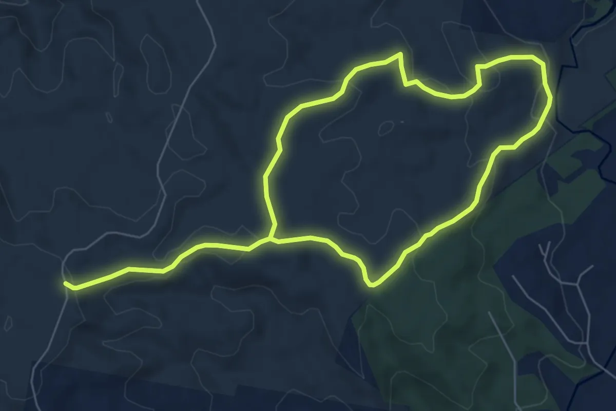
Medium · Trail
Kureelpa Falls Circuit
14.1 km · ↑ 462 m · 4 h 20 min
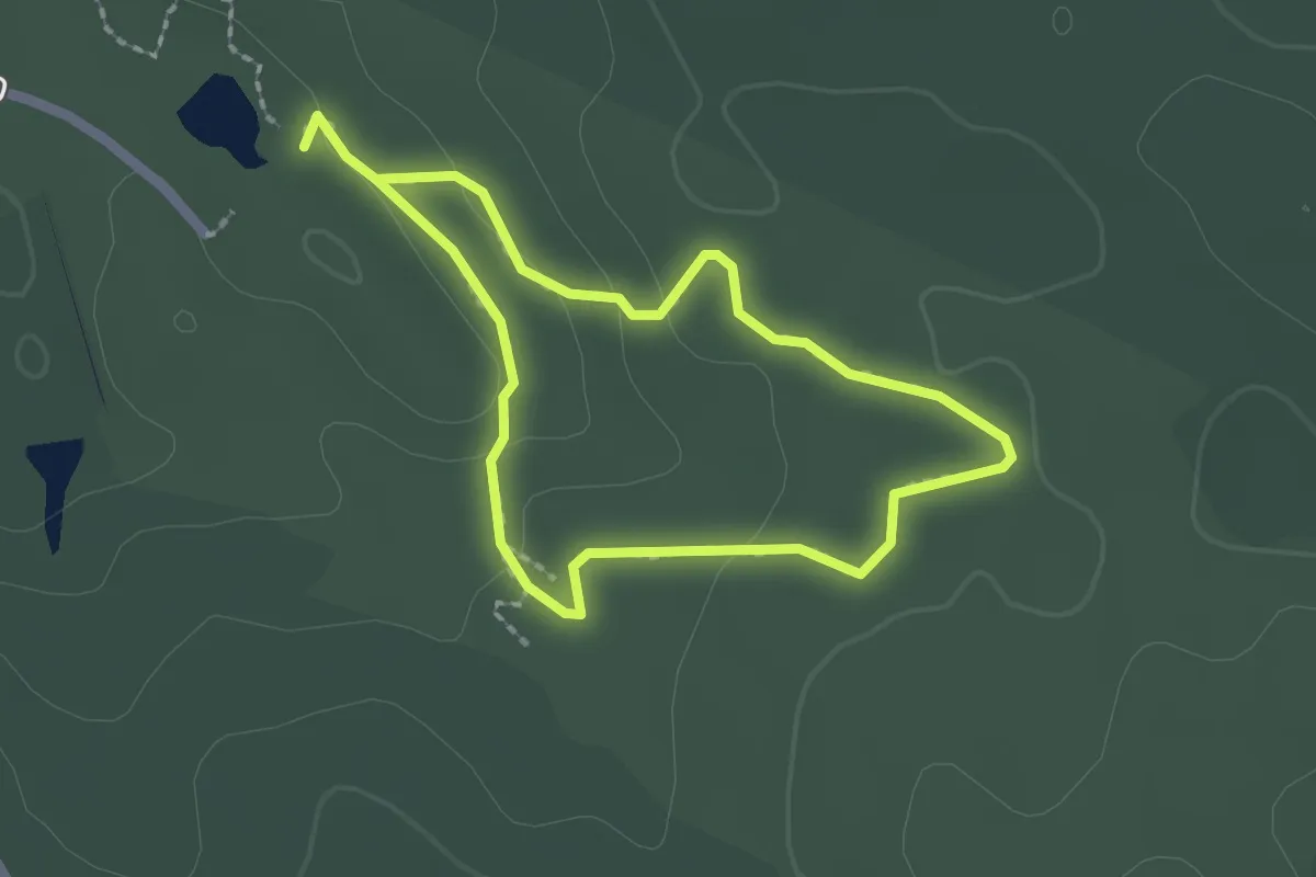
Easy · Trail
La Gerche Forest Walk
2.0 km · ↑ 40 m · 36 min
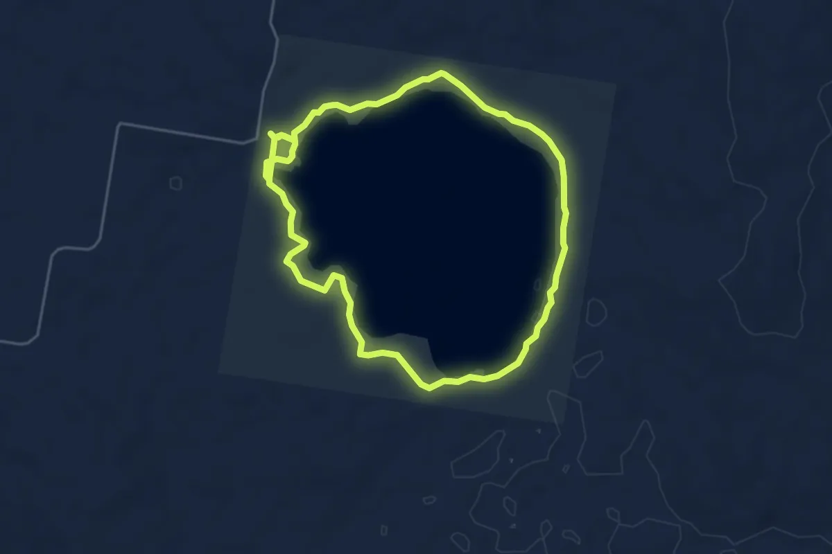
Medium · Trail
Lagoon Circuit
10.6 km · ↑ 130 m · 2 h 48 min
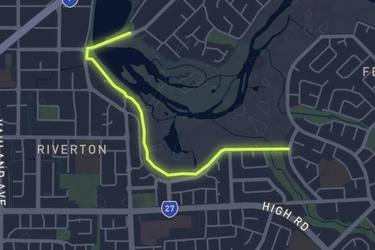
Easy · Trail
Lagoon to Living Streams Walk Trail
5.0 km · ↑ 39 m · 1 h 16 min
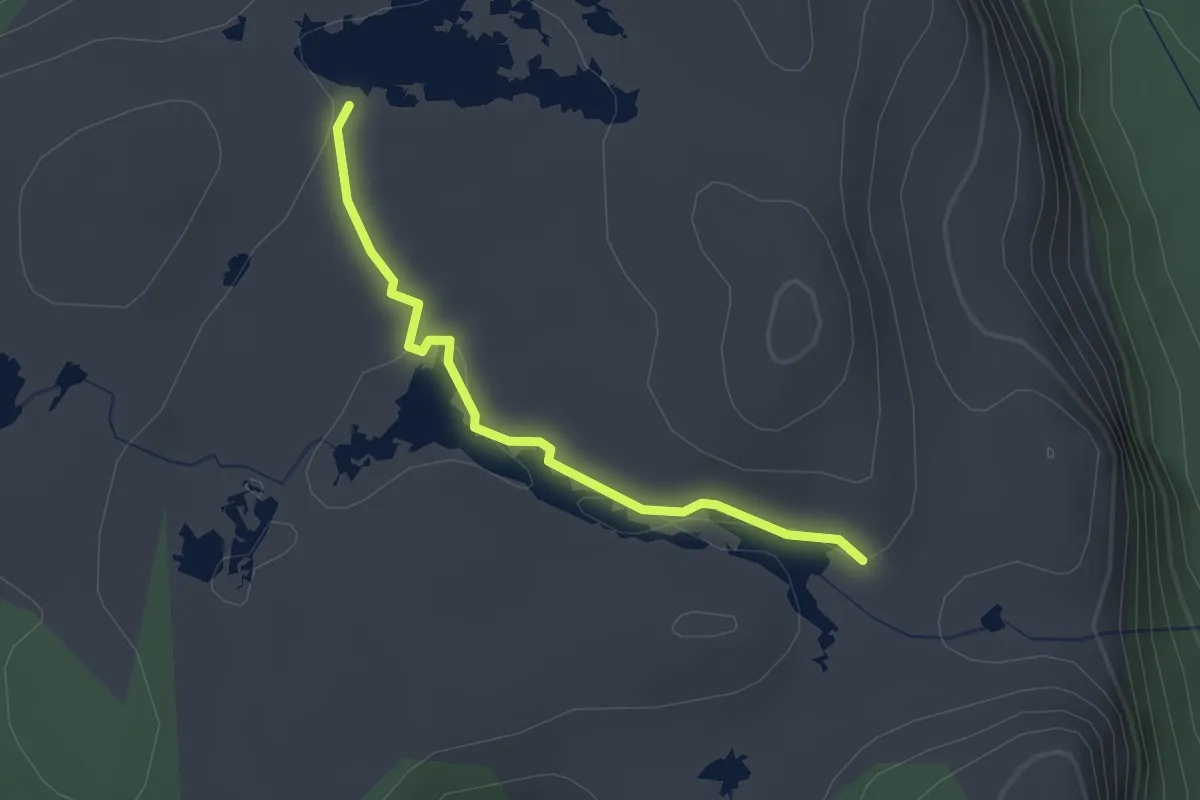
Easy · Trail
Lake Elysia Track
2.4 km · ↑ 26 m · 37 min
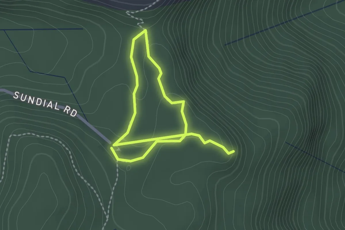
Easy · Trail
Lakeview Lookout Loop
3.6 km · ↑ 75 m · 1 h 1 min
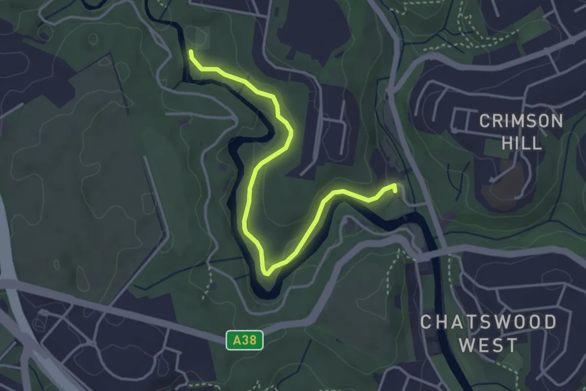
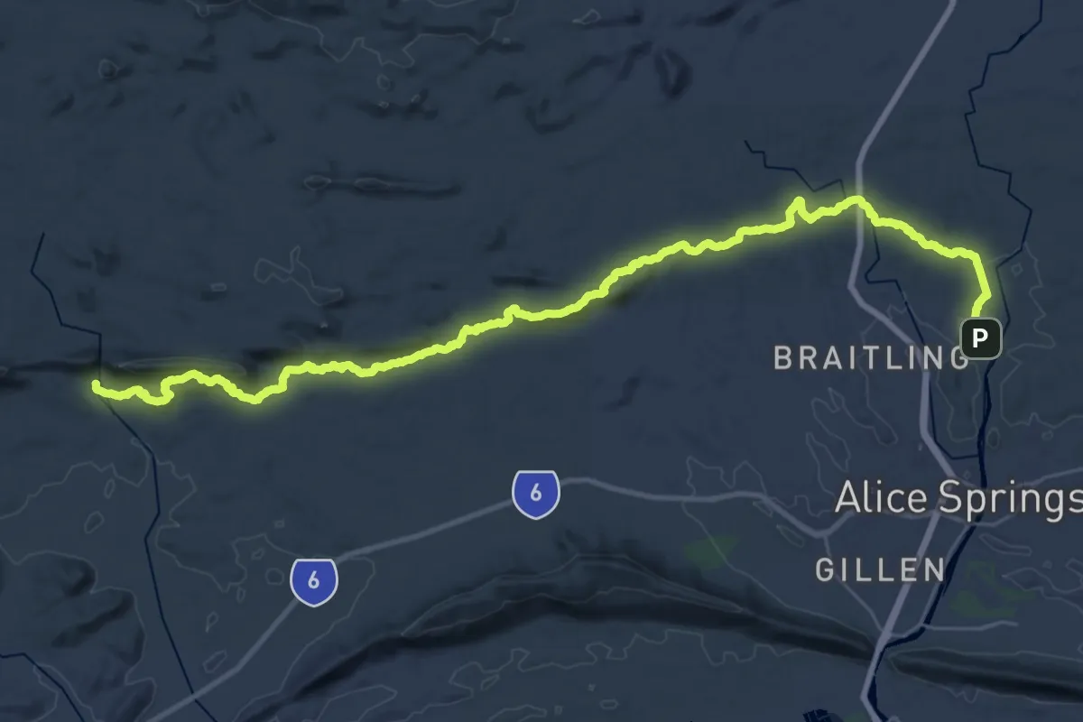
Easy · Trail
Lane Cove National Park Heritage Walk
4.5 km · ↑ 107 m · 1 h 18 min
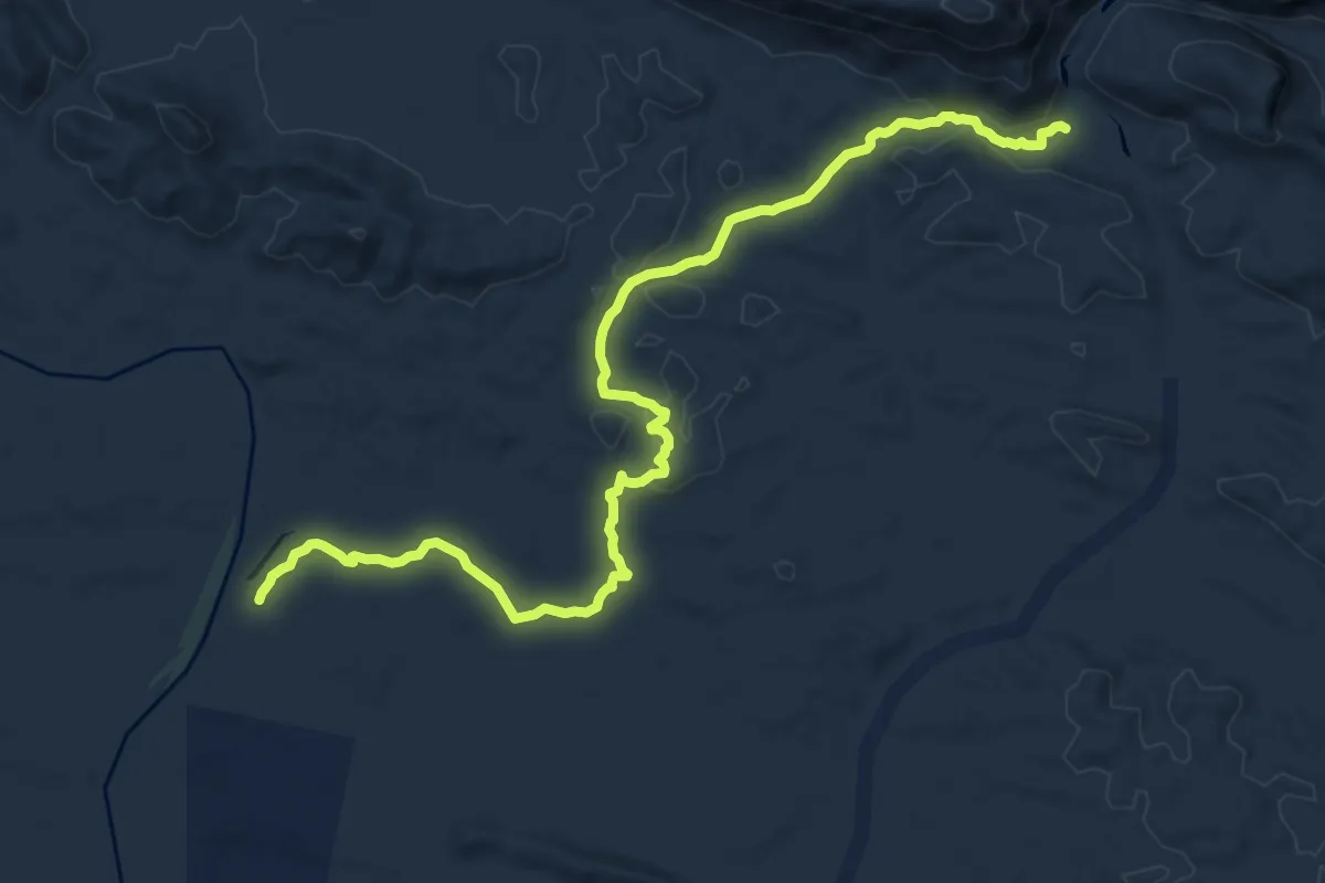
Demanding · Trail
Larapinta Trail Section 1
24.0 km · ↑ 499 m · 7 h 5 min
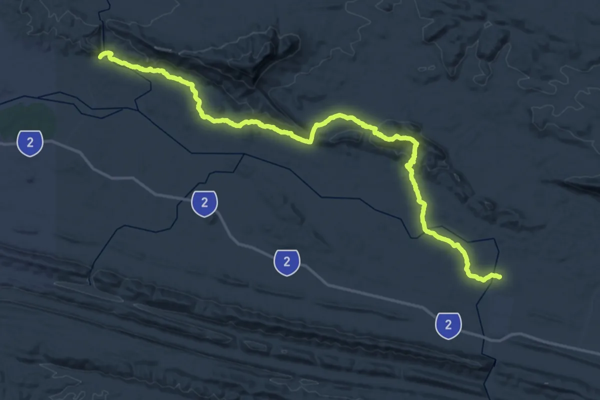
Medium · Trail
Larapinta Trail Section 10
17.9 km · ↑ 296 m · 4 h 52 min
Demanding · Trail
Larapinta Trail Section 11
26.0 km · ↑ 525 m · 7 h 37 min
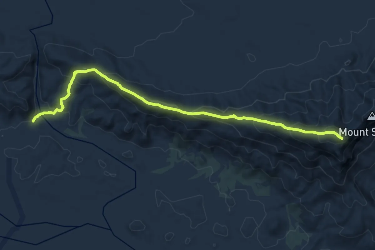
Demanding · Trail
Larapinta Trail Section 12
14.8 km · ↑ 821 m · 5 h 16 min
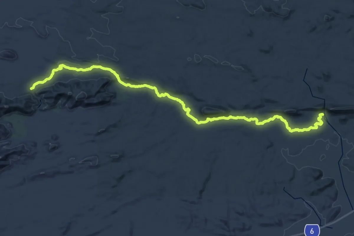
Demanding · Trail
Larapinta Trail Section 2
25.4 km · ↑ 436 m · 7 h 13 min
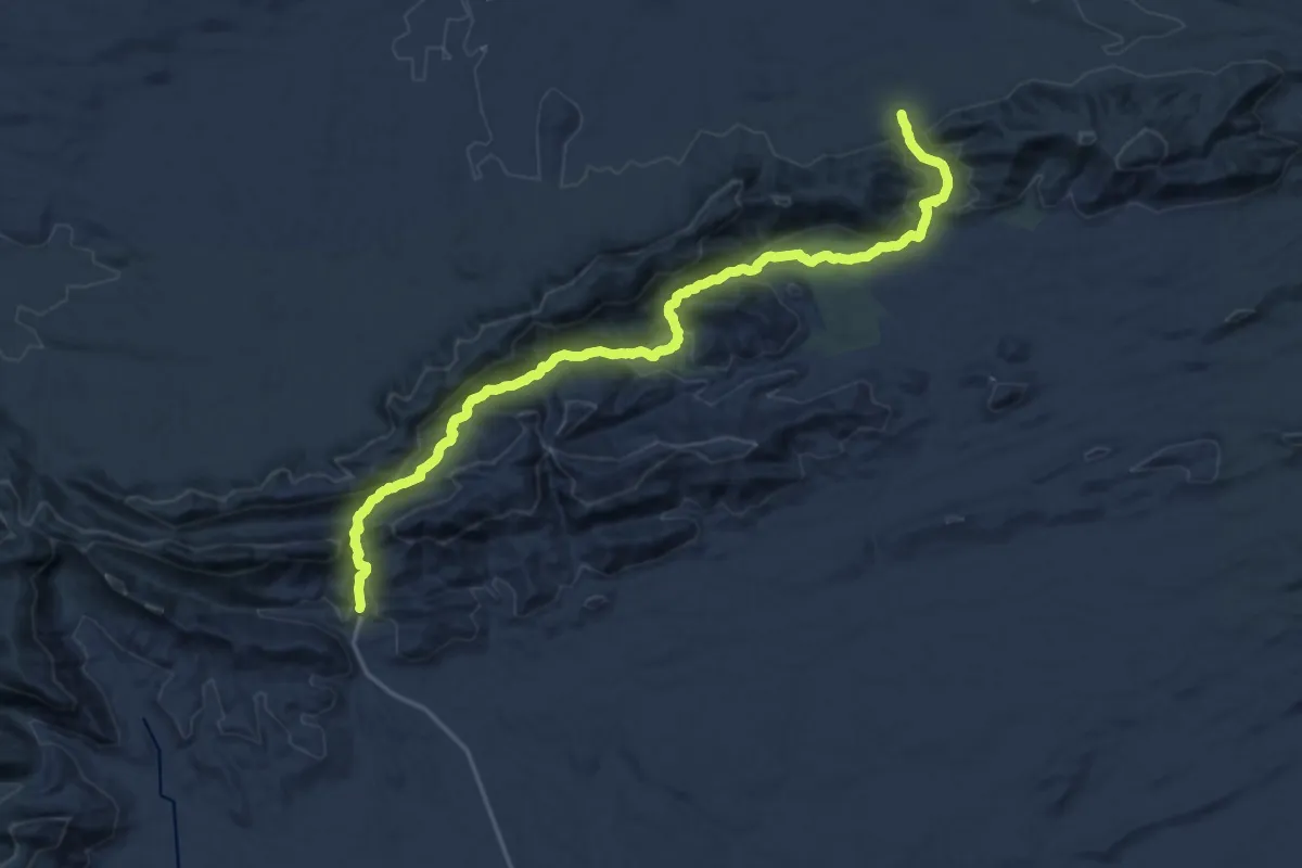
Medium · Trail
Larapinta Trail Section 3
13.3 km · ↑ 520 m · 4 h 27 min
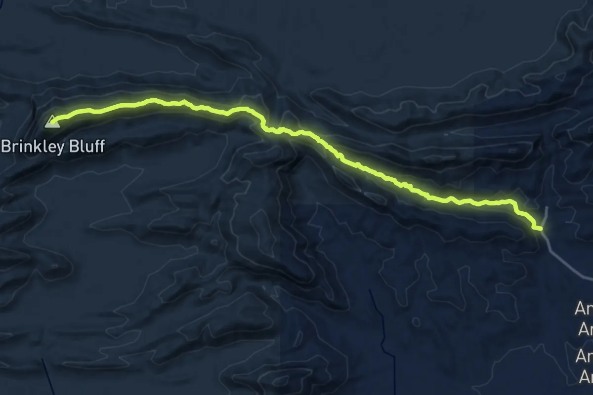
Demanding · Summit
Larapinta Trail Section 4
18.4 km · ↑ 766 m · 6 h
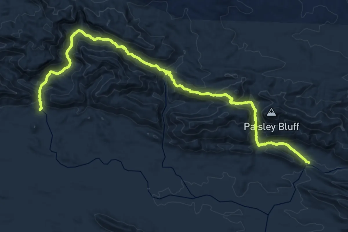
Medium · Trail
Larapinta Trail Section 5
14.8 km · ↑ 767 m · 5 h 21 min
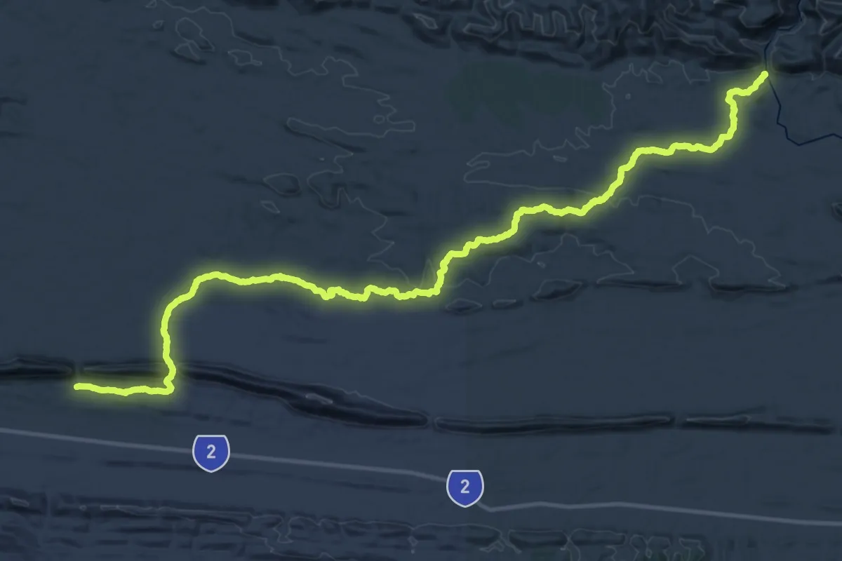
Demanding · Trail
Larapinta Trail Section 6
28.6 km · ↑ 461 m · 8 h 11 min
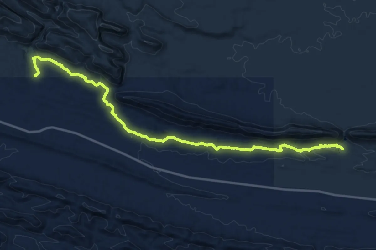
Demanding · Trail
Larapinta Trail Section 7
25.7 km · ↑ 501 m · 7 h 9 min
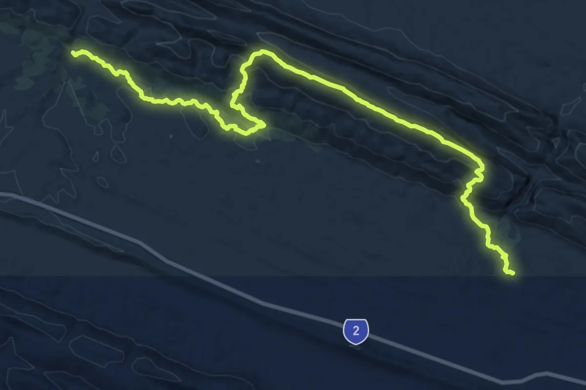
Medium · Trail
Larapinta Trail Section 8
12.7 km · ↑ 533 m · 4 h 17 min
Demanding · Trail
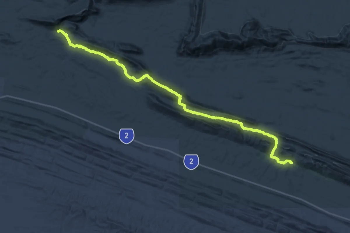
Larapinta Trail Section 9
27.6 km · ↑ 720 m · 8 h 32 min
Easy · Trail
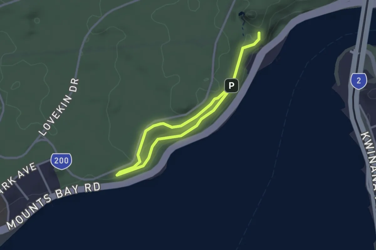
Law Walk
4.7 km · ↑ 94 m · 1 h 19 min
Medium · Cabin
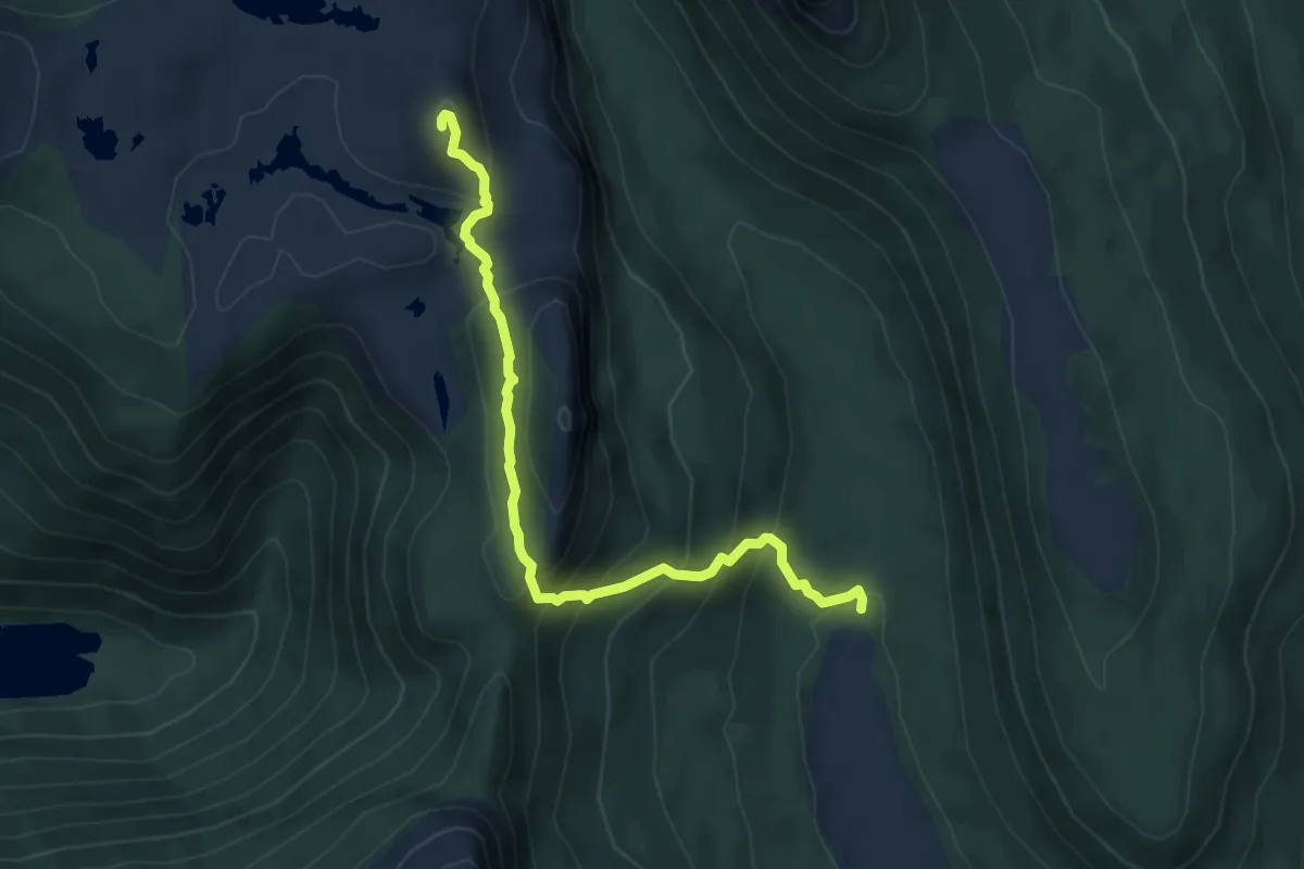
Laybyrith
6.4 km · ↑ 483 m · 2 h 33 min
Medium · Trail
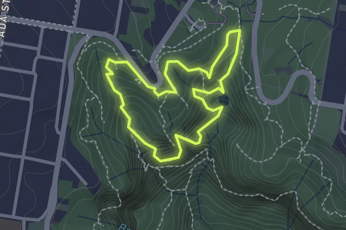
Leura Cascades Fern Bower Circuit
2.1 km · ↑ 246 m · 1 h 4 min