Trails in Australia
551 hiking trails, each with its route, climb, walking time and grade.
All trails, page 6 of 12
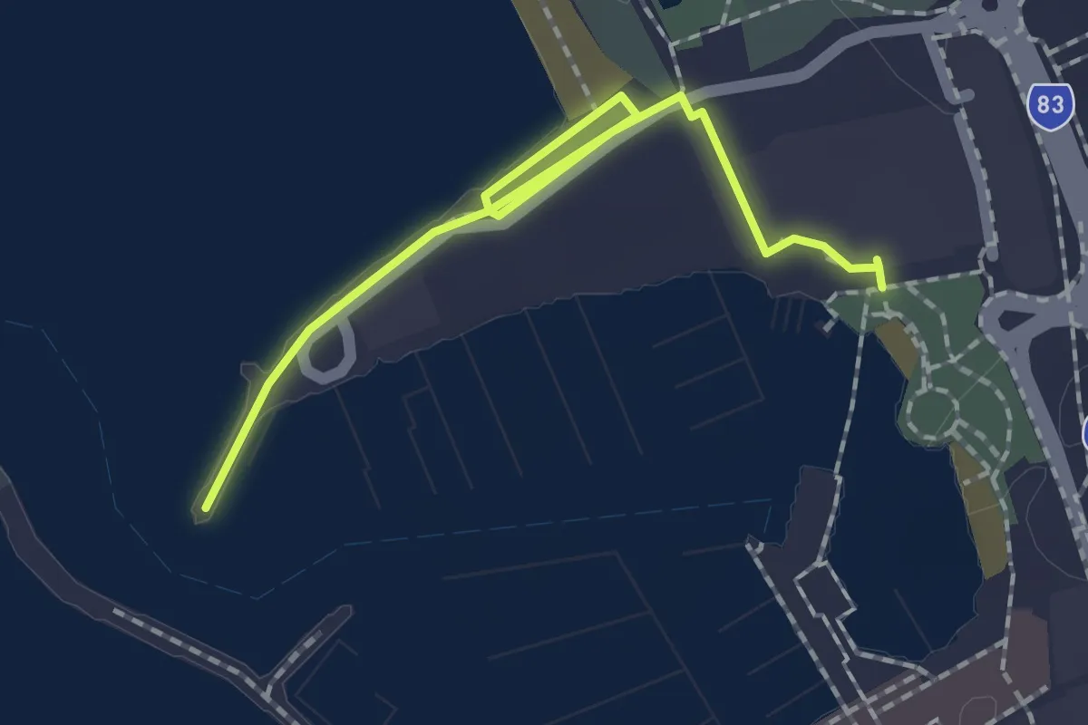
Easy · Trail
Lighthouse Trail
2.5 km · ↑ 10 m · 36 min
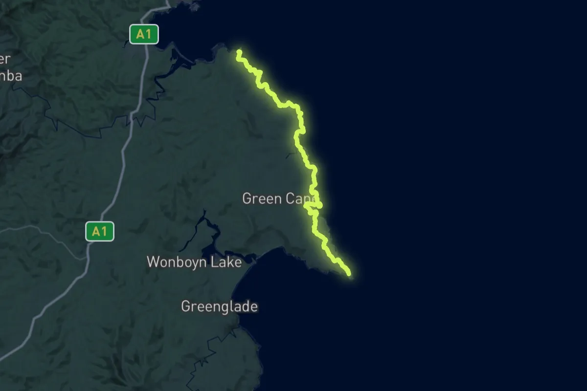
Demanding · Trail
Light to Light Walk
29.0 km · ↑ 611 m · 8 h 36 min
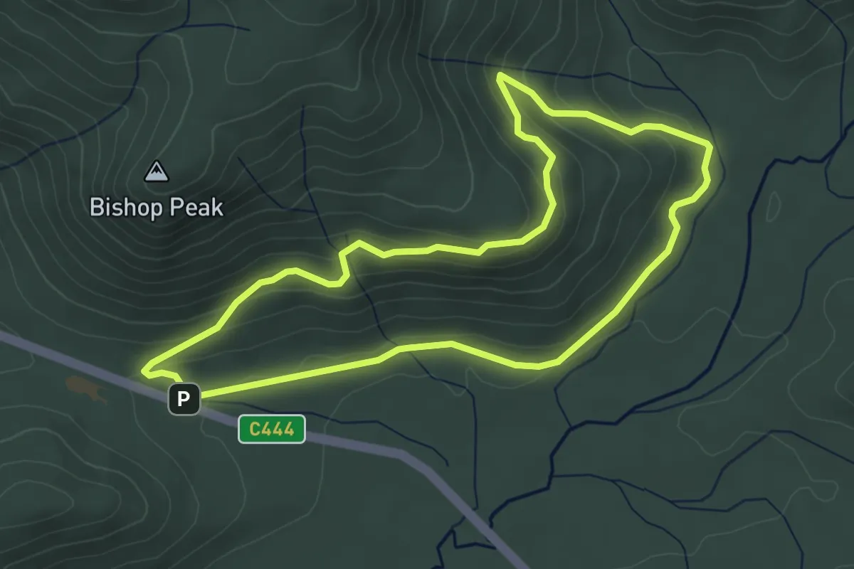
Easy · Trail
Lilly Pilly Gully Circuit
5.0 km · ↑ 163 m · 1 h 36 min
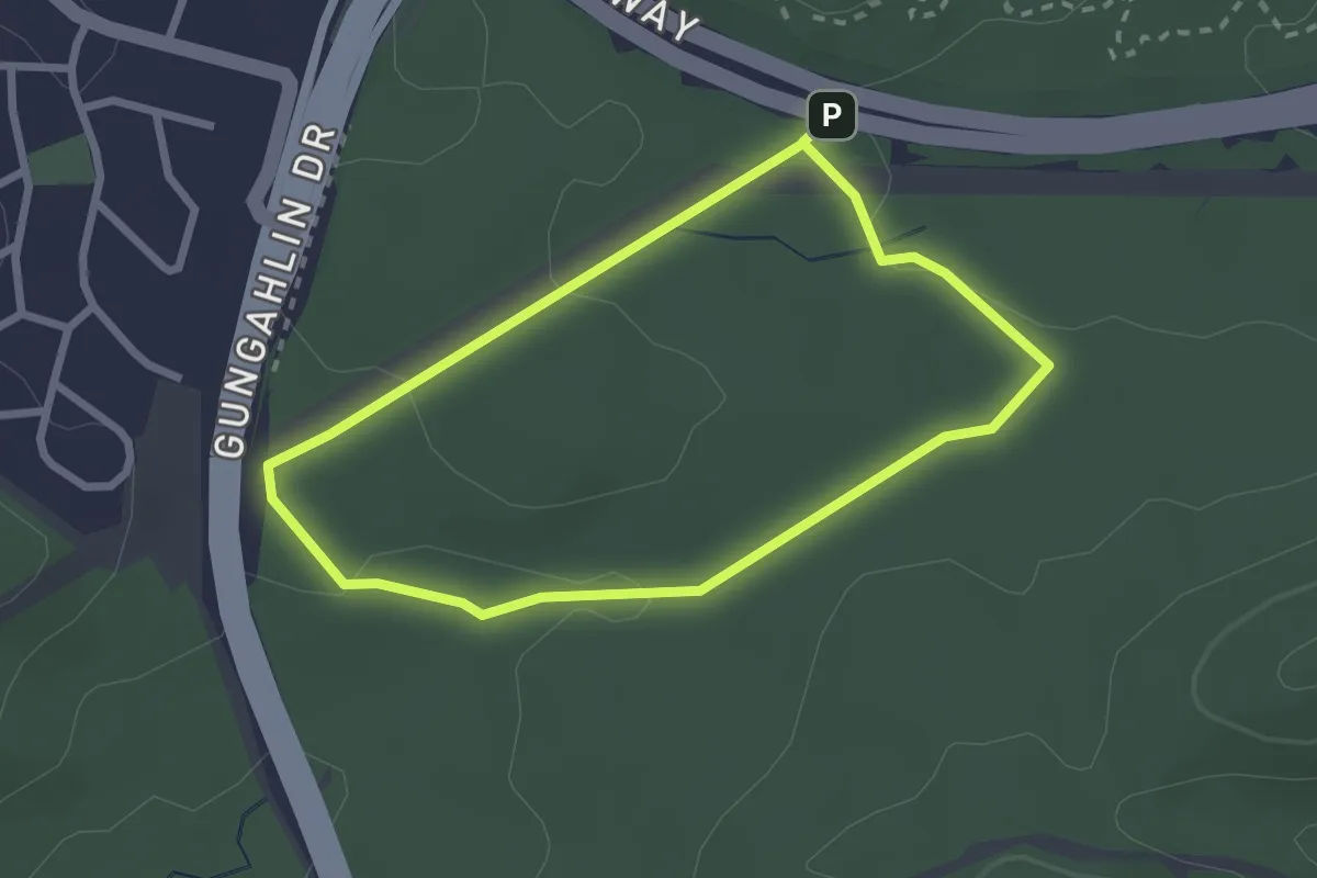
Easy · Trail
Link walk
2.7 km · ↑ 42 m · 45 min
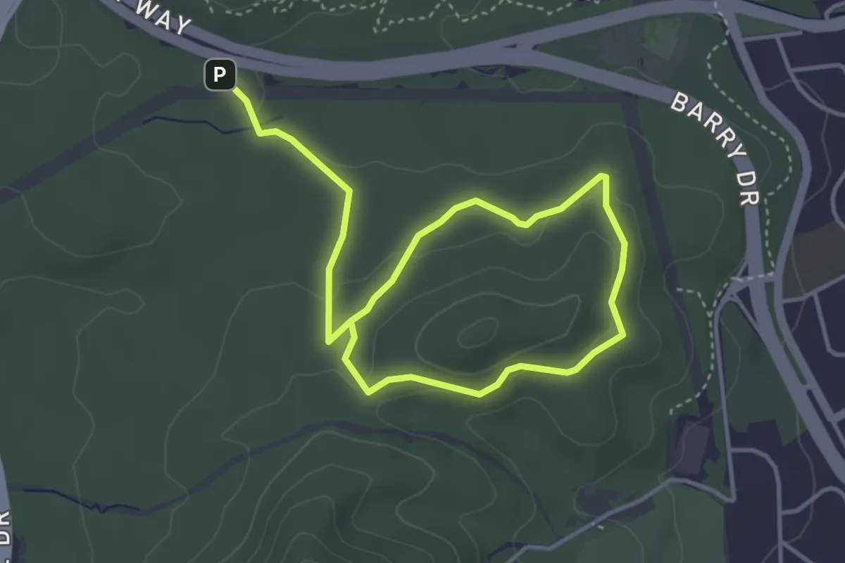
Easy · Trail
Little Black Mountain Walk
6.8 km · ↑ 146 m · 1 h 55 min
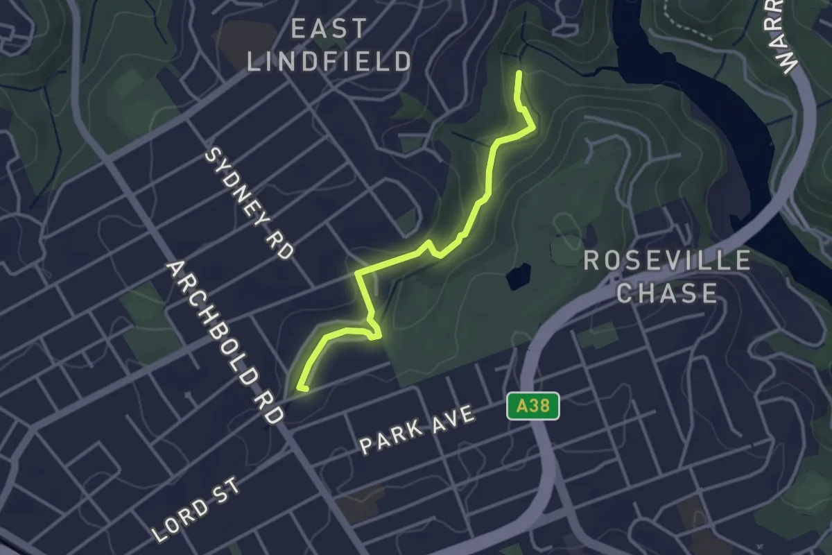
Easy · Trail
Little Digger Track
3.6 km · ↑ 73 m · 1 h 1 min
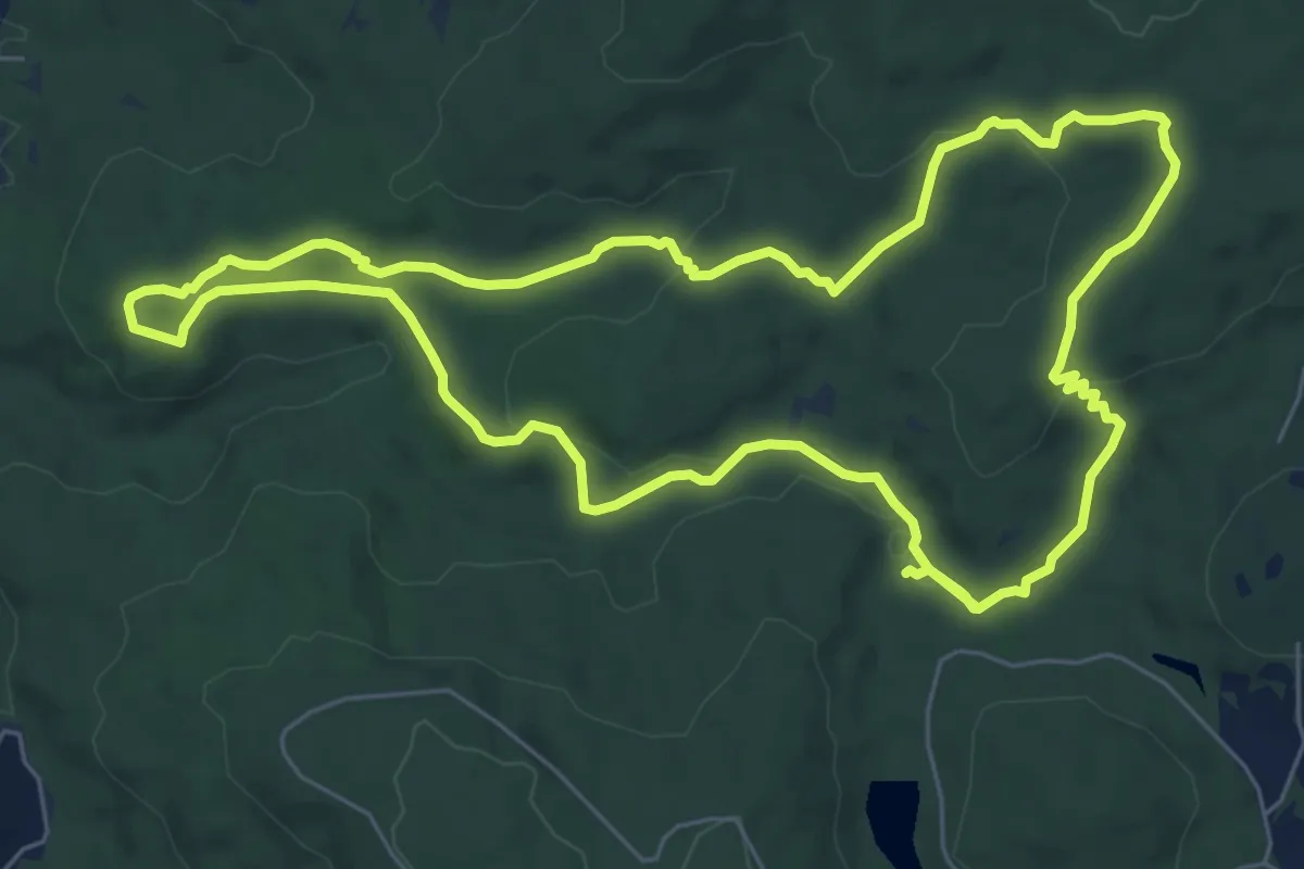
Medium · Trail
Little Eagle Walk Trail
8.6 km · ↑ 172 m · 2 h 31 min
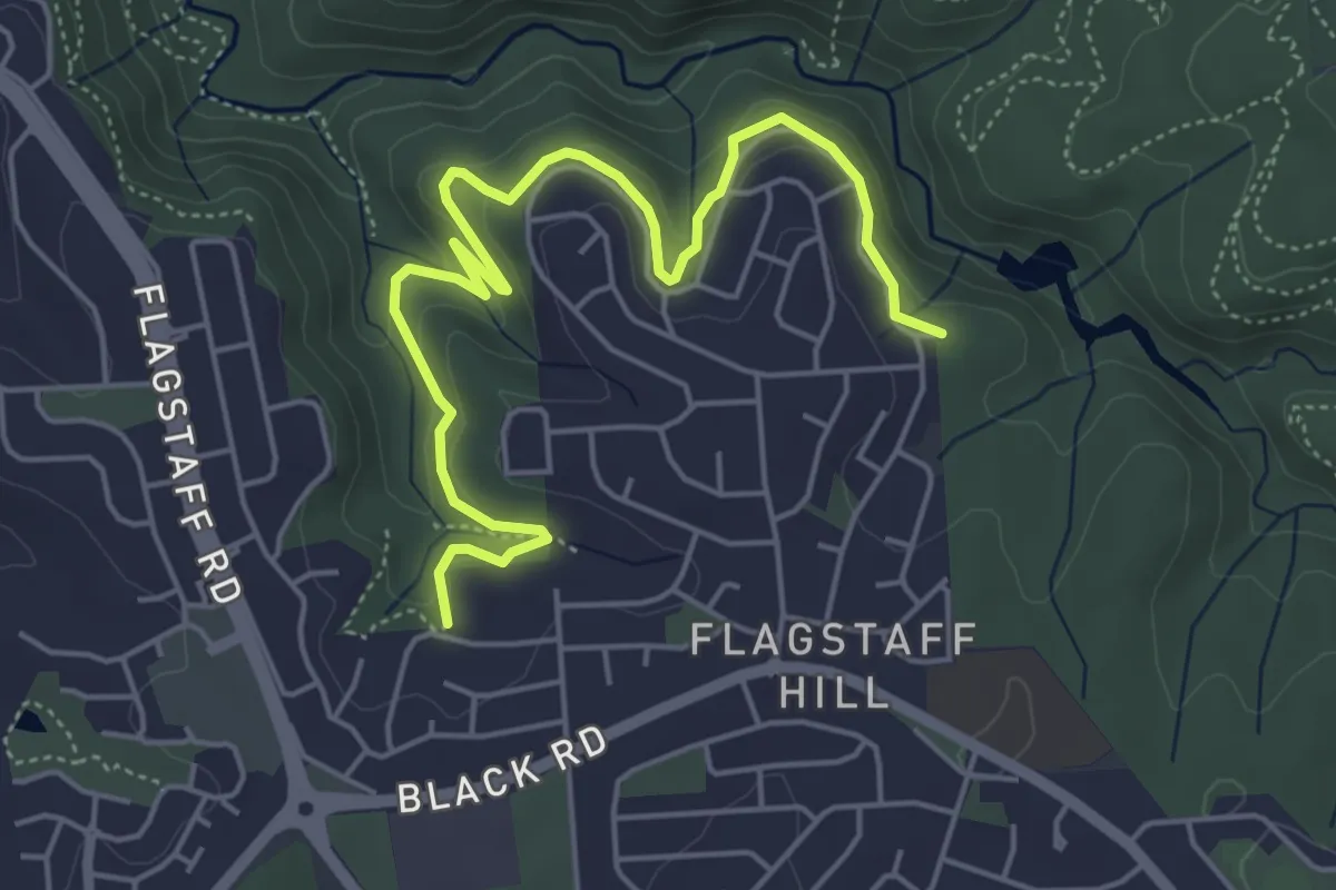
Easy · Trail
Lomandra Trail
7.2 km · ↑ 174 m · 2 h 4 min
Medium · Trail
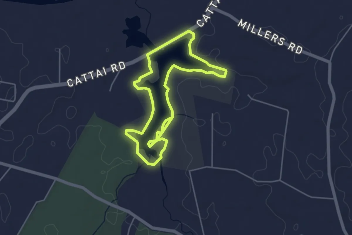
Longneck Lagoon Walking Track
9.0 km · ↑ 54 m · 2 h 14 min
Easy · Trail
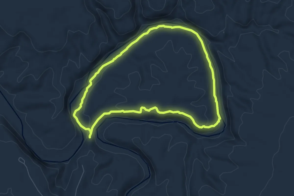
Loop Trail
7.8 km · ↑ 147 m · 2 h 16 min
Easy · Trail
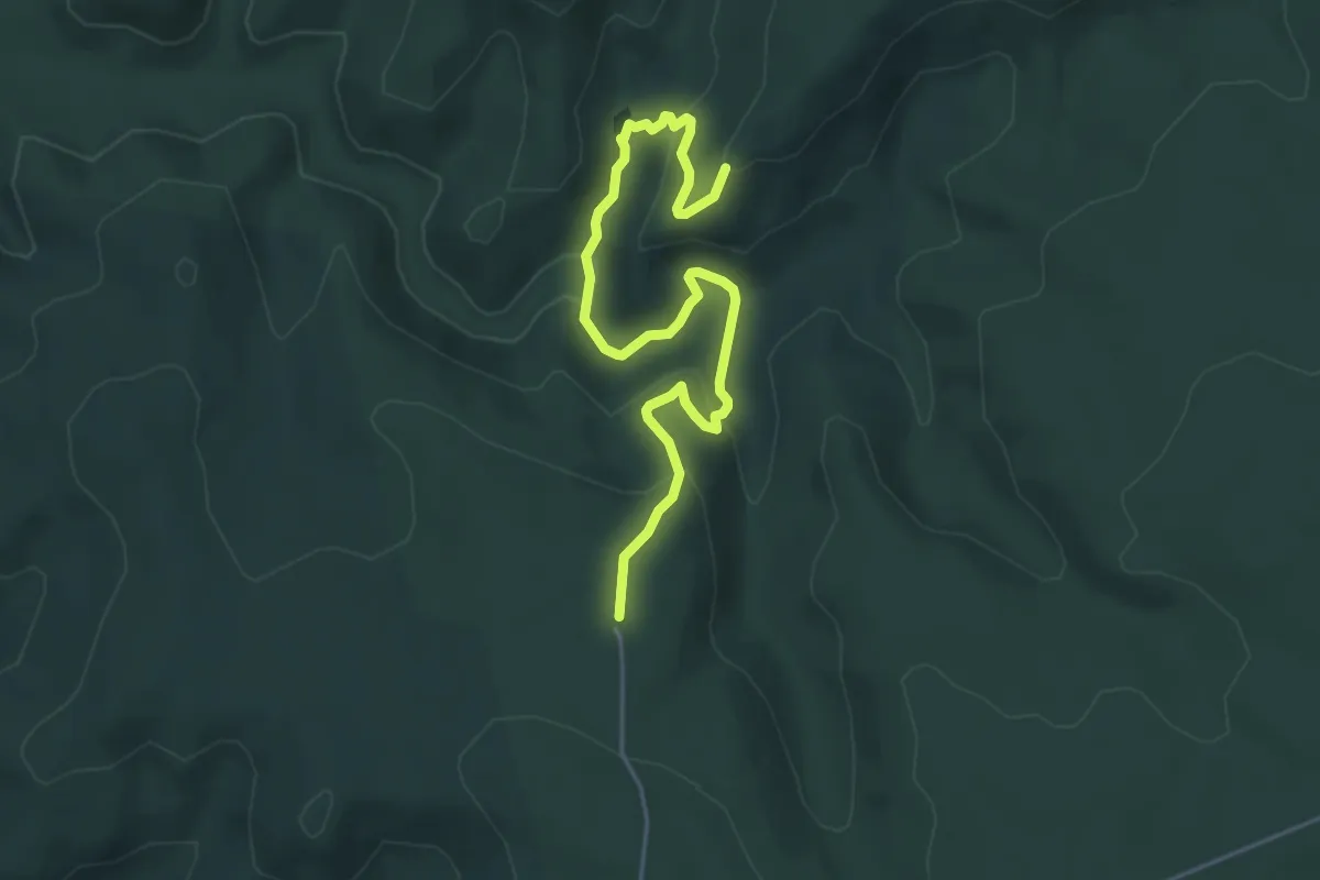
Lost City Walking Track
6.5 km · ↑ 240 m · 2 h 3 min
Medium · Trail
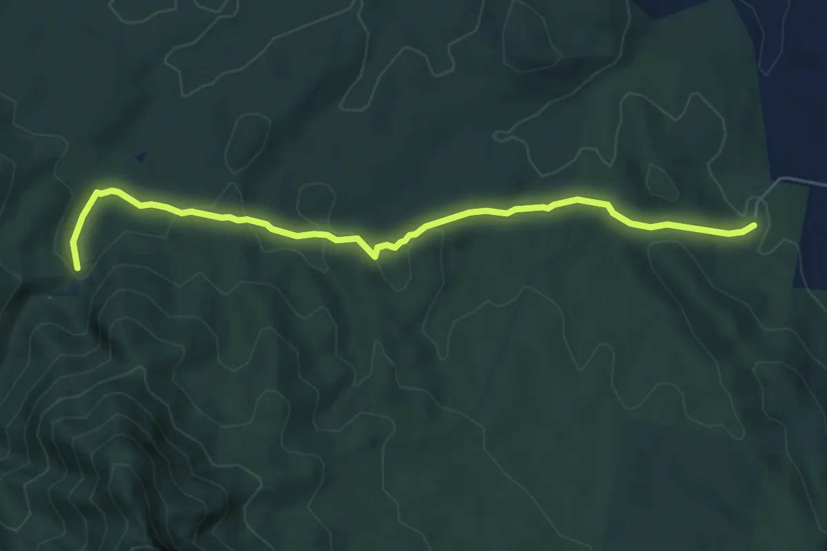
Lower Portals
7.4 km · ↑ 251 m · 2 h 17 min
Easy · Trail
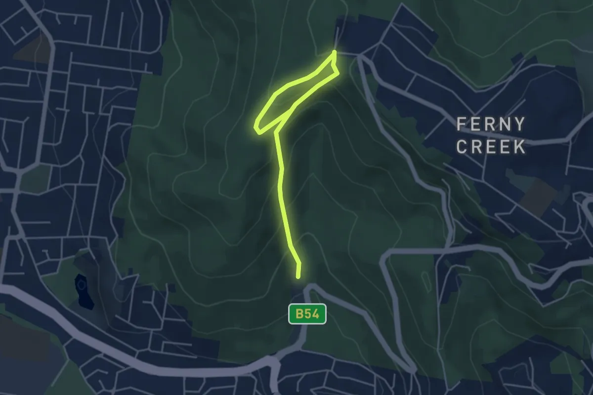
Lyrebird Loop
2.7 km · ↑ 284 m · 1 h 11 min
Medium · Summit
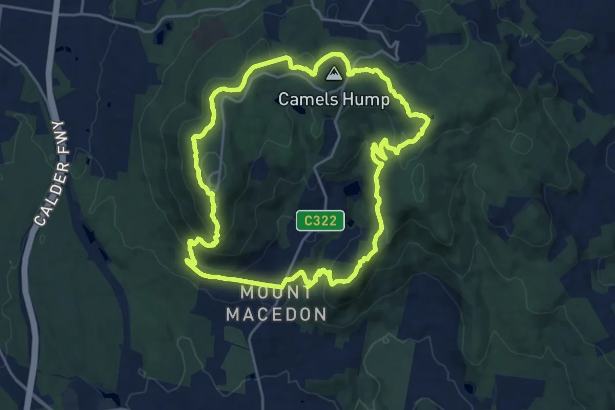
Macedon Ranges Walking Trail
16.0 km · ↑ 601 m · 5 h 17 min
Medium · Trail
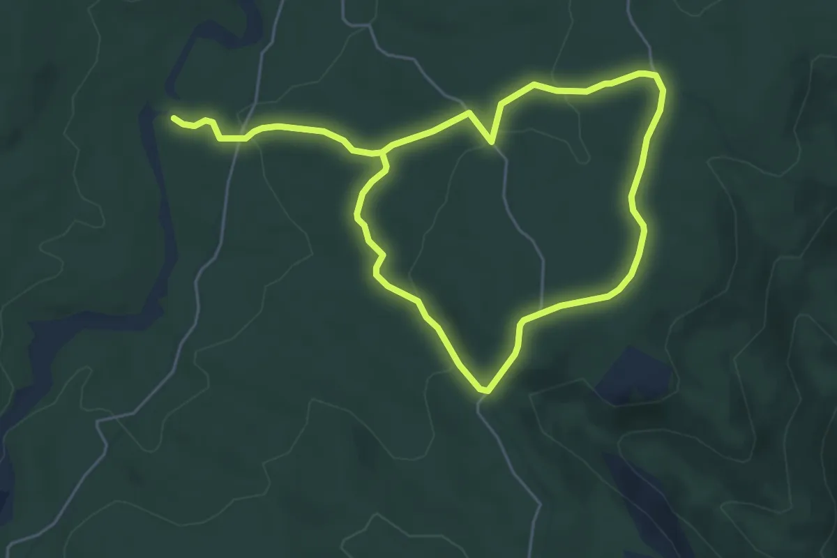
Mackays Walk
10.7 km · ↑ 201 m · 2 h 58 min
Easy · Trail
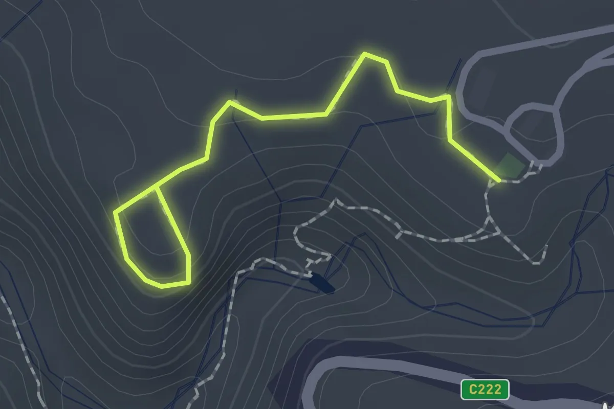
Mackenzie Falls Lookout
2.1 km · ↑ 85 m · 41 min
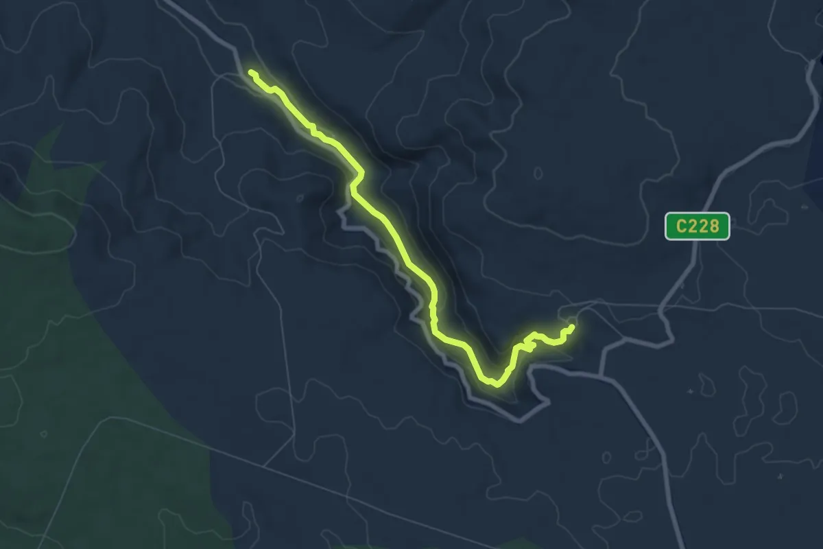
Medium · Trail
Mackenzie River Walk
8.4 km · ↑ 244 m · 2 h 30 min
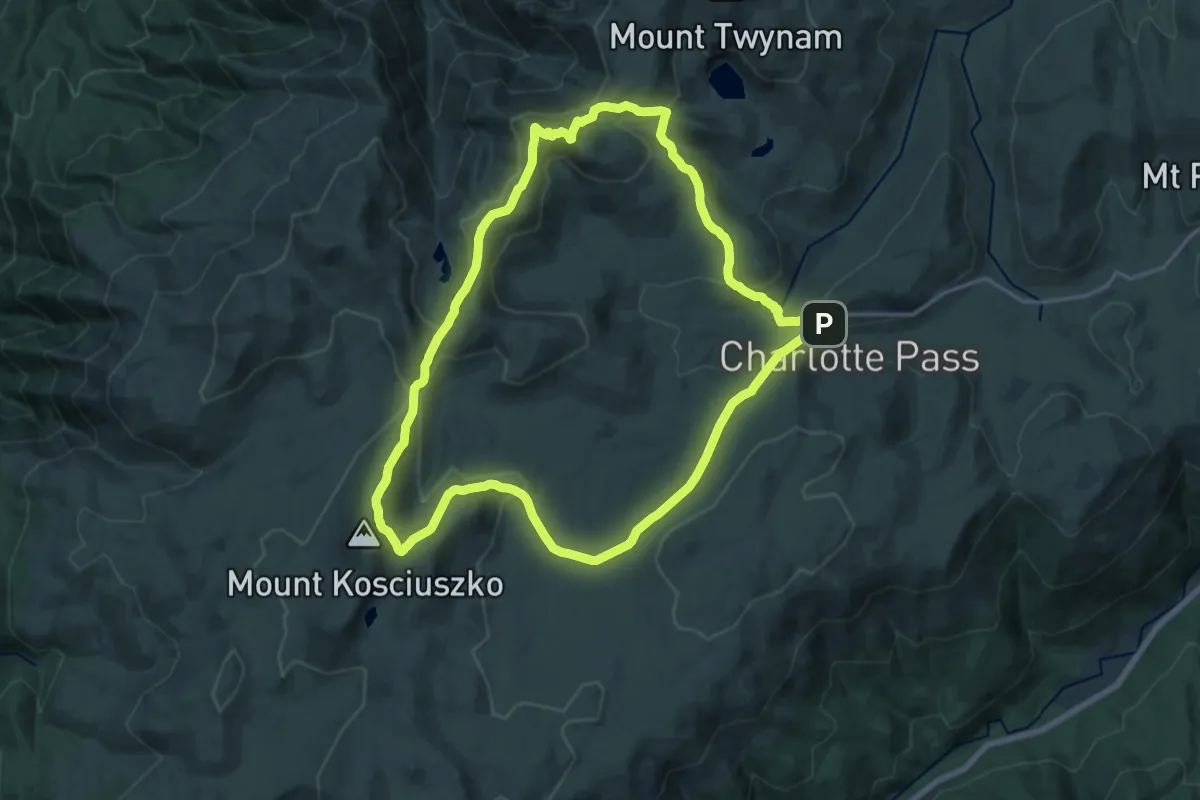
Demanding · Summit
Main Range Walking Track
19.8 km · ↑ 638 m · 6 h 20 min
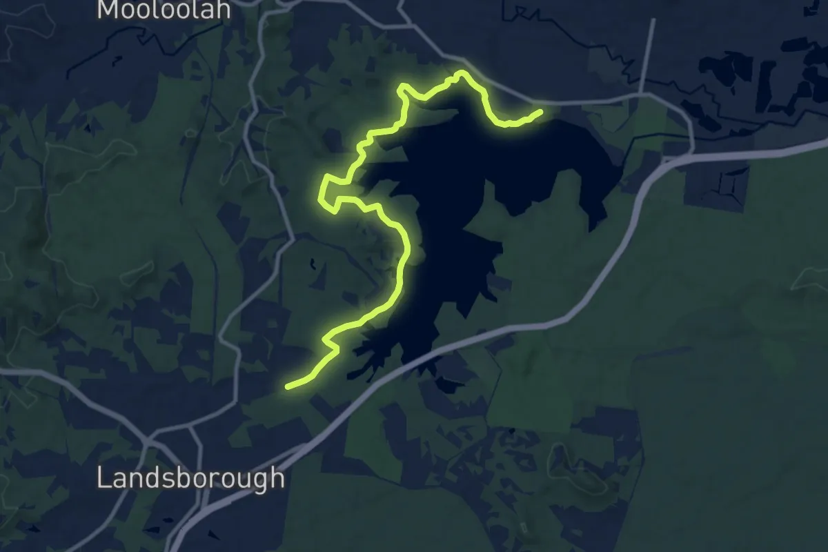
Medium · Trail
Main Track
14.9 km · ↑ 214 m · 3 h 59 min
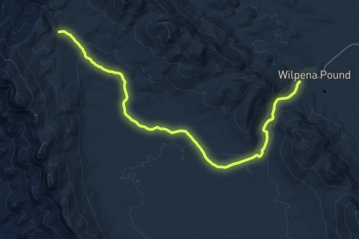
Demanding · Trail
Mallonga Falls Hike
21.6 km · ↑ 311 m · 5 h 47 min
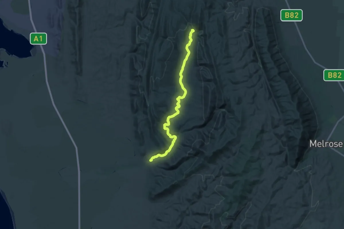
Demanding · Trail
Mambray Creek to Alligator Gorge Hike
29.1 km · ↑ 477 m · 7 h 54 min
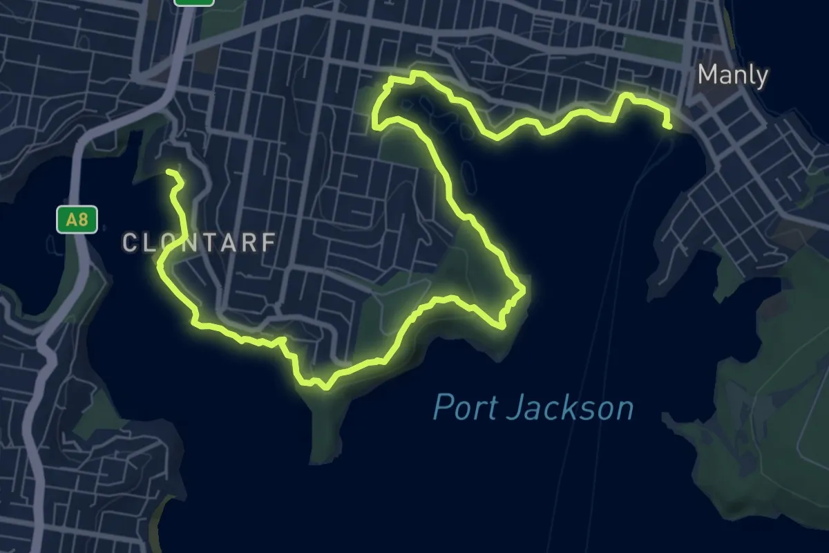
Demanding · Trail
Manly to Spit Bridge Walk
15.6 km · ↑ 1502 m · 6 h 57 min
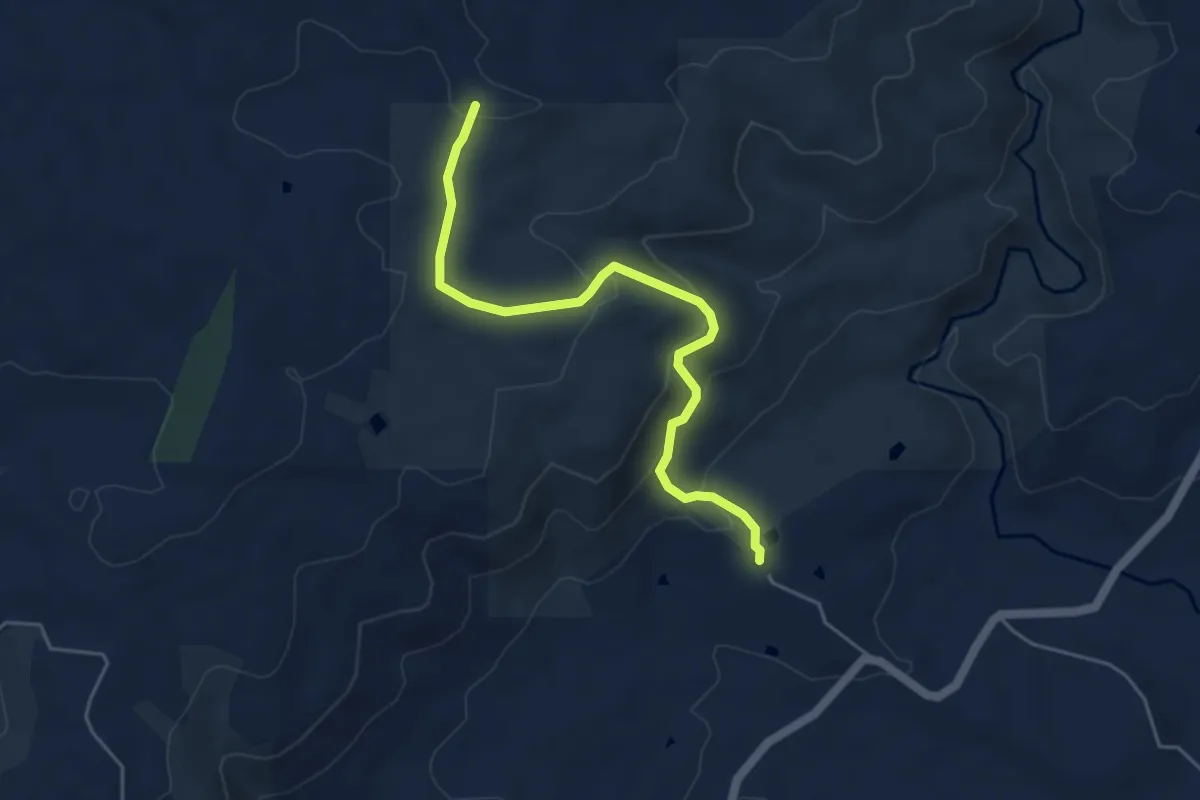
Easy · Trail
Manna Gum Hike
5.8 km · ↑ 241 m · 1 h 53 min
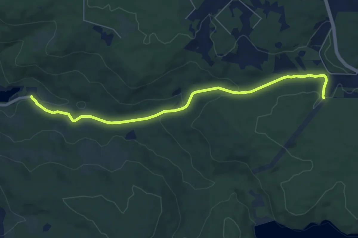
Easy · Trail
Mason Bird Heritage Trail
7.6 km · ↑ 148 m · 2 h 7 min
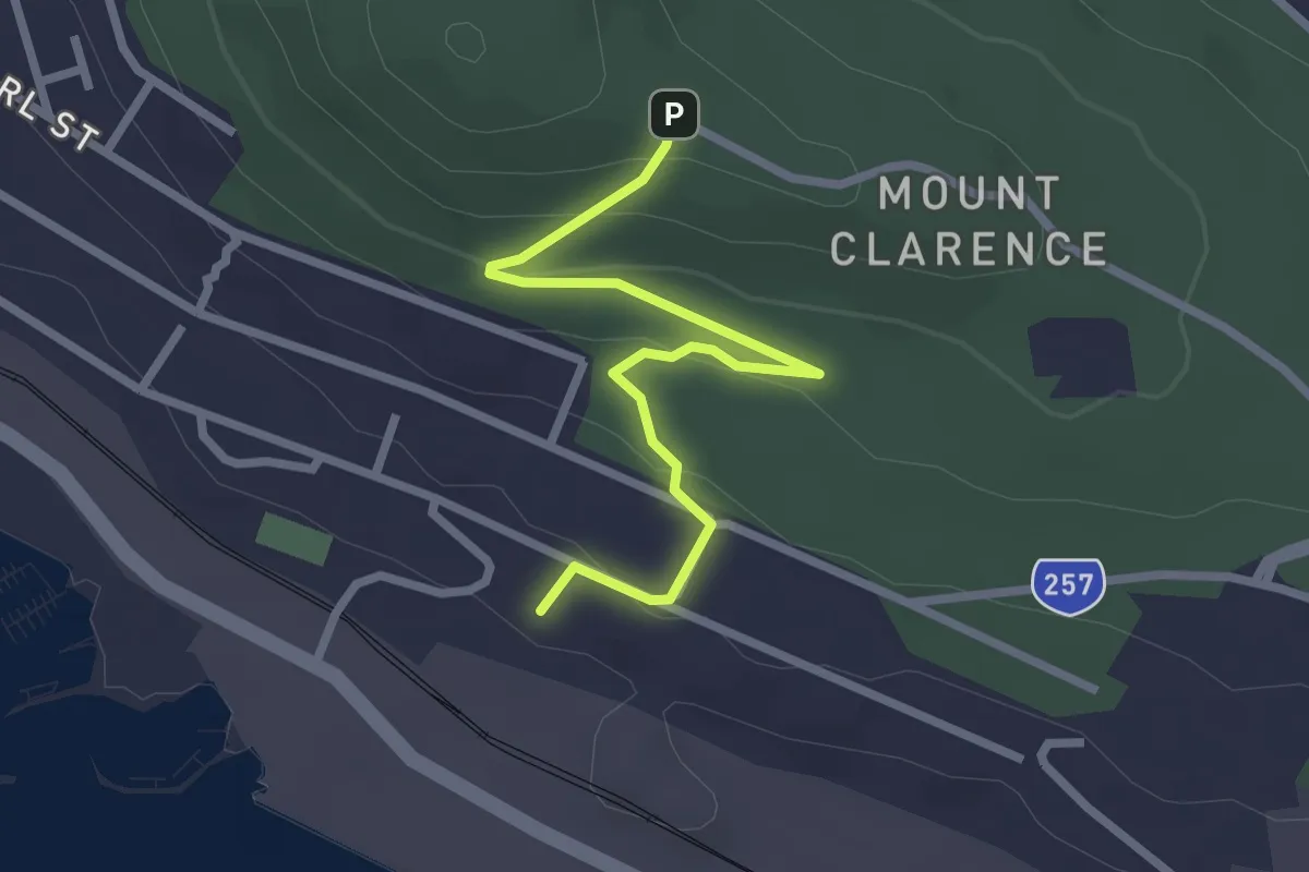
Easy · Trail
Mass Rock Trail
3.2 km · ↑ 122 m · 1 h 1 min
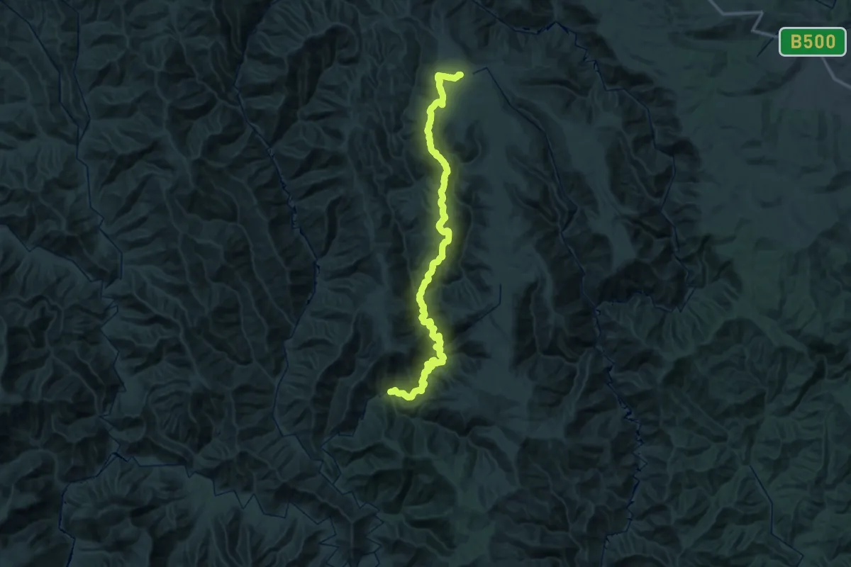
Demanding · Trail
McMillan Alternative Walking Track
32.3 km · ↑ 735 m · 10 h 15 min
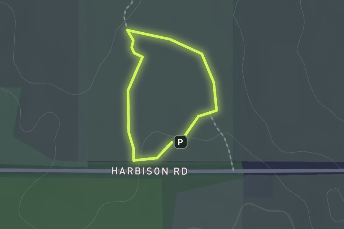
Easy · Trail
Melaleuca Loop
1.1 km · ↑ 10 m · 17 min
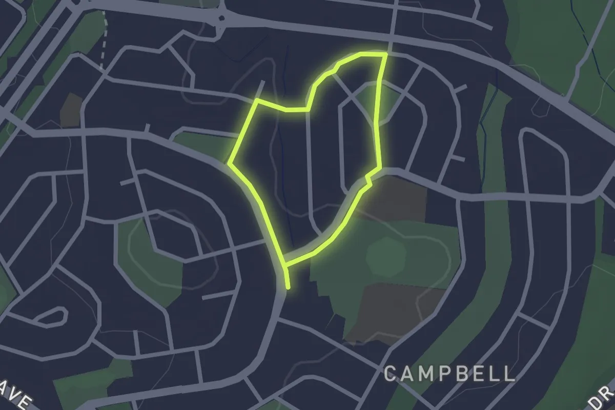
Easy · Trail
Memorial Parks Walk
1.7 km · ↑ 24 m · 28 min
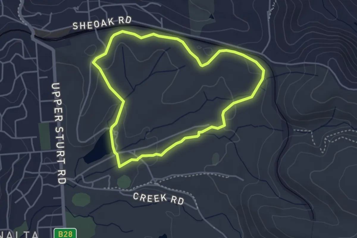
Easy · Trail
Microcarpa Hike
4.1 km · ↑ 57 m · 1 h 9 min
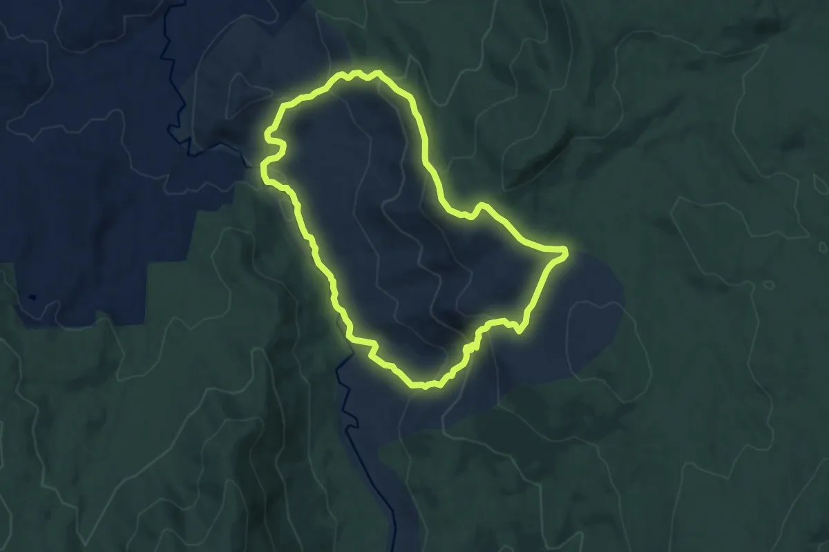
Medium · Trail
Mill Track Loop
9.8 km · ↑ 445 m · 3 h 25 min
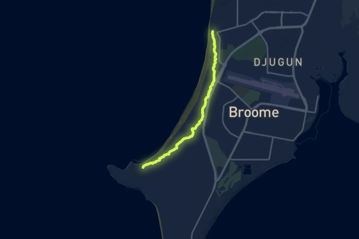
Medium · Trail
Minyirr Walk Trail
12.8 km · ↑ 44 m · 3 h 7 min
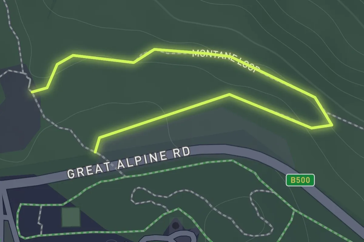
Easy · Trail
Montane Loop
1.1 km · ↑ 14 m · 19 min
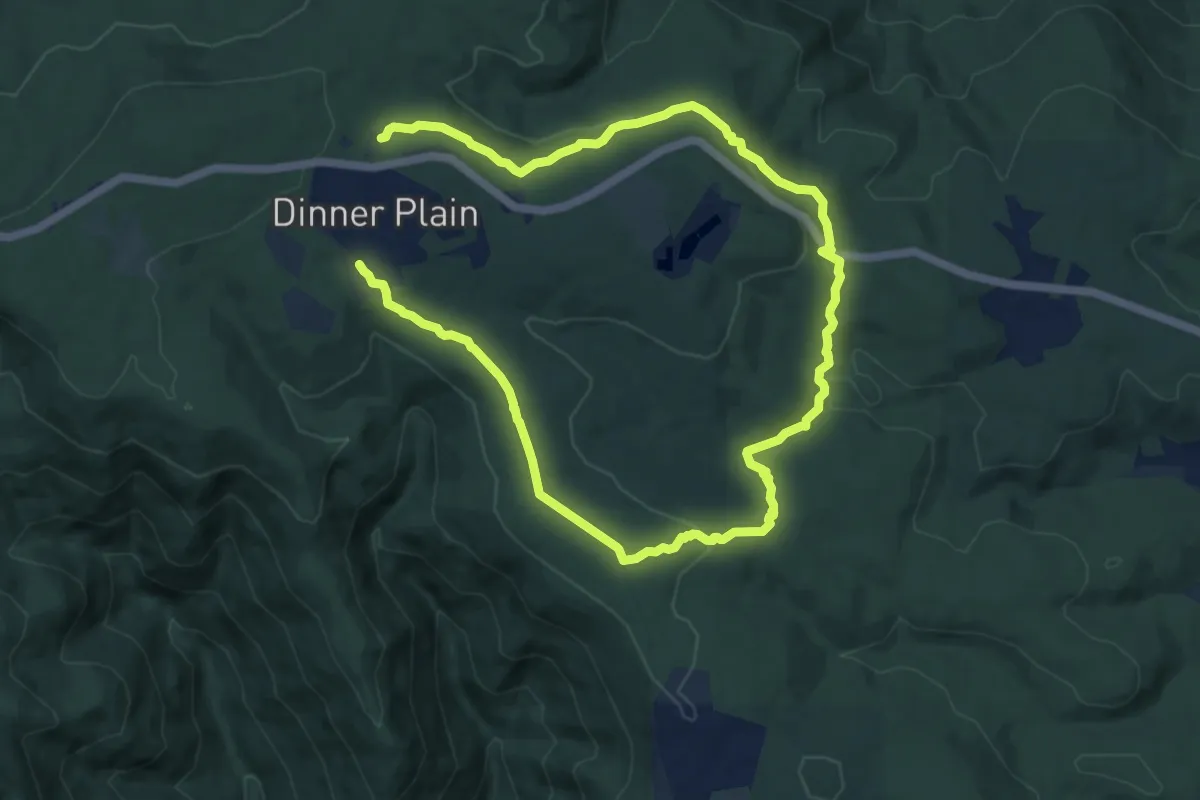
Demanding · Trail
Montane Walking Track
18.7 km · ↑ 420 m · 5 h 20 min
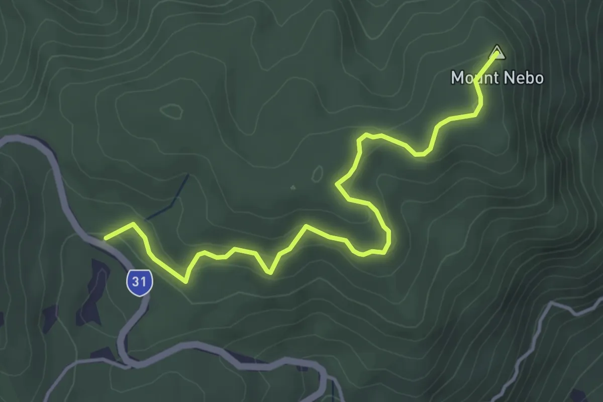
Easy · Summit
Morelia Walking Track
5.3 km · ↑ 170 m · 1 h 38 min
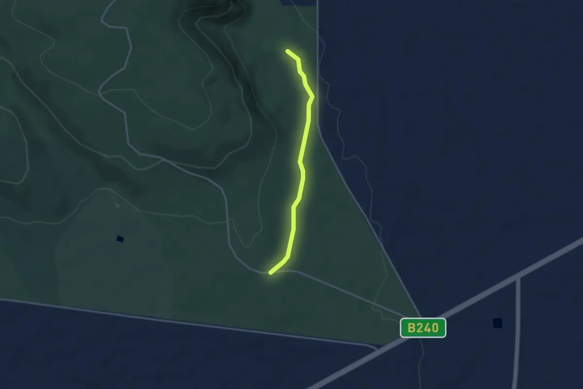
Easy · Trail
Mount Arapiles Circuit Walk
1.7 km · ↑ 0 m · 26 min
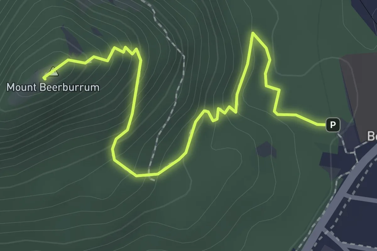
Easy · Summit
Mount Beerburrum Summit Walk
3.2 km · ↑ 239 m · 1 h 17 min
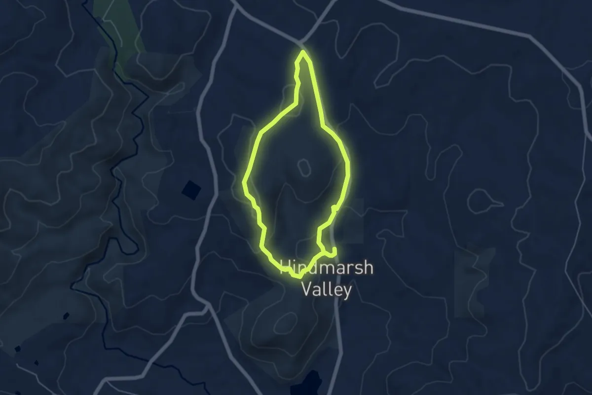
Easy · Trail
Mount Billy Hike
4.9 km · ↑ 164 m · 1 h 35 min
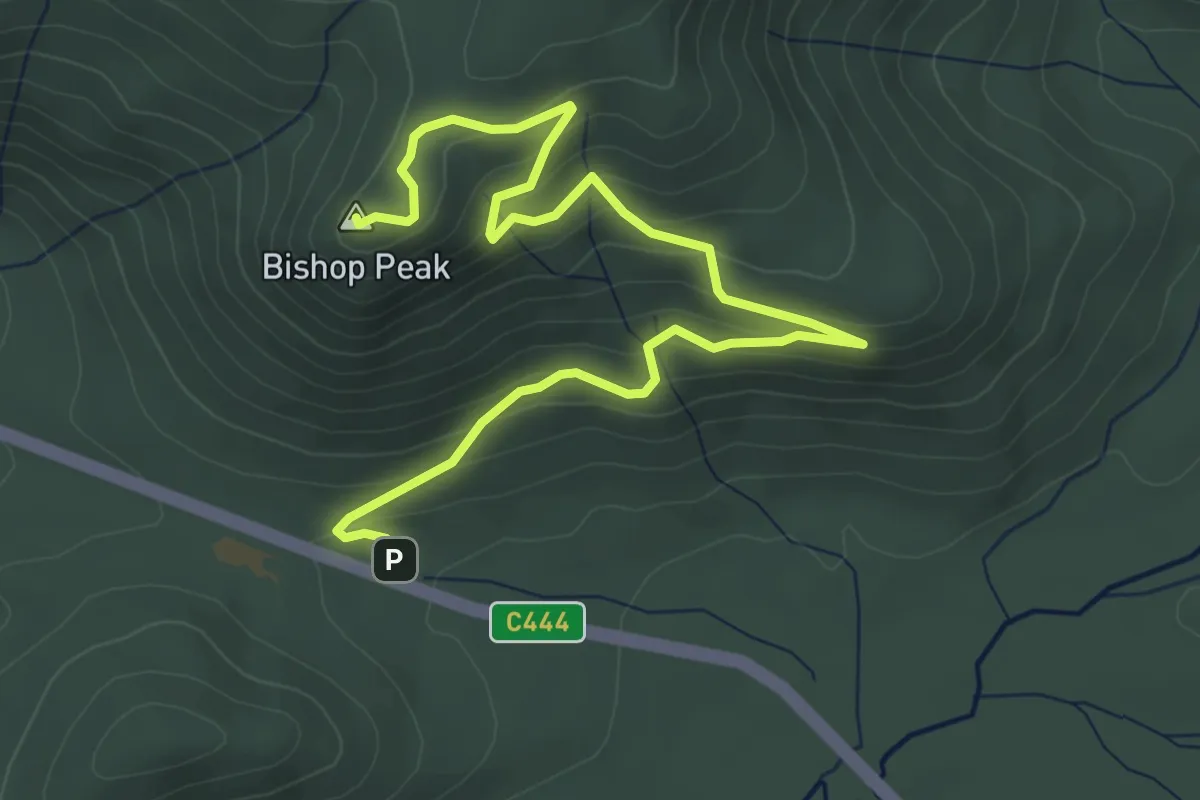
Easy · Summit
Mount Bishop
6.6 km · ↑ 292 m · 2 h 11 min
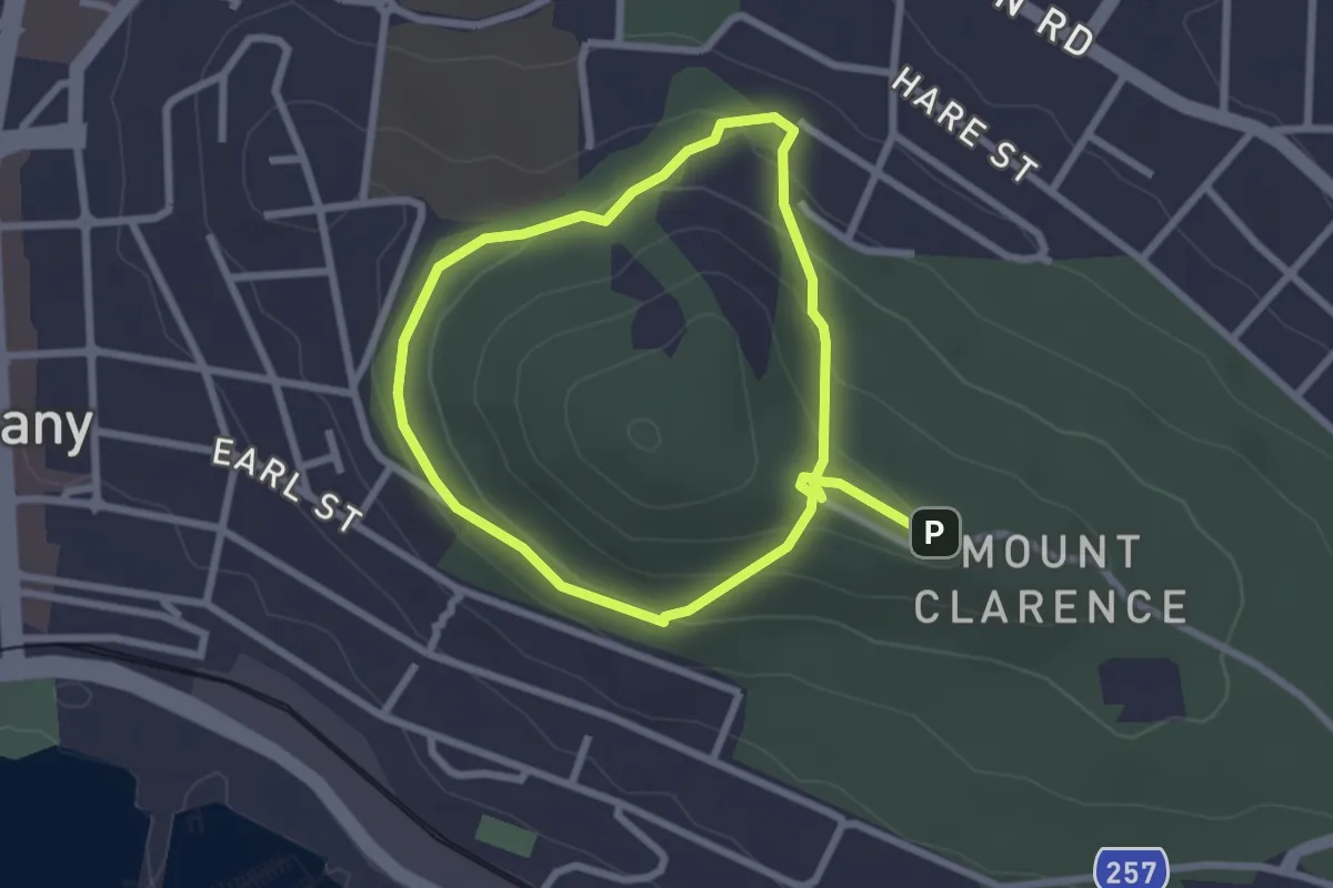
Easy · Trail
Mount Clarence Circuit Trail
5.2 km · ↑ 208 m · 1 h 41 min
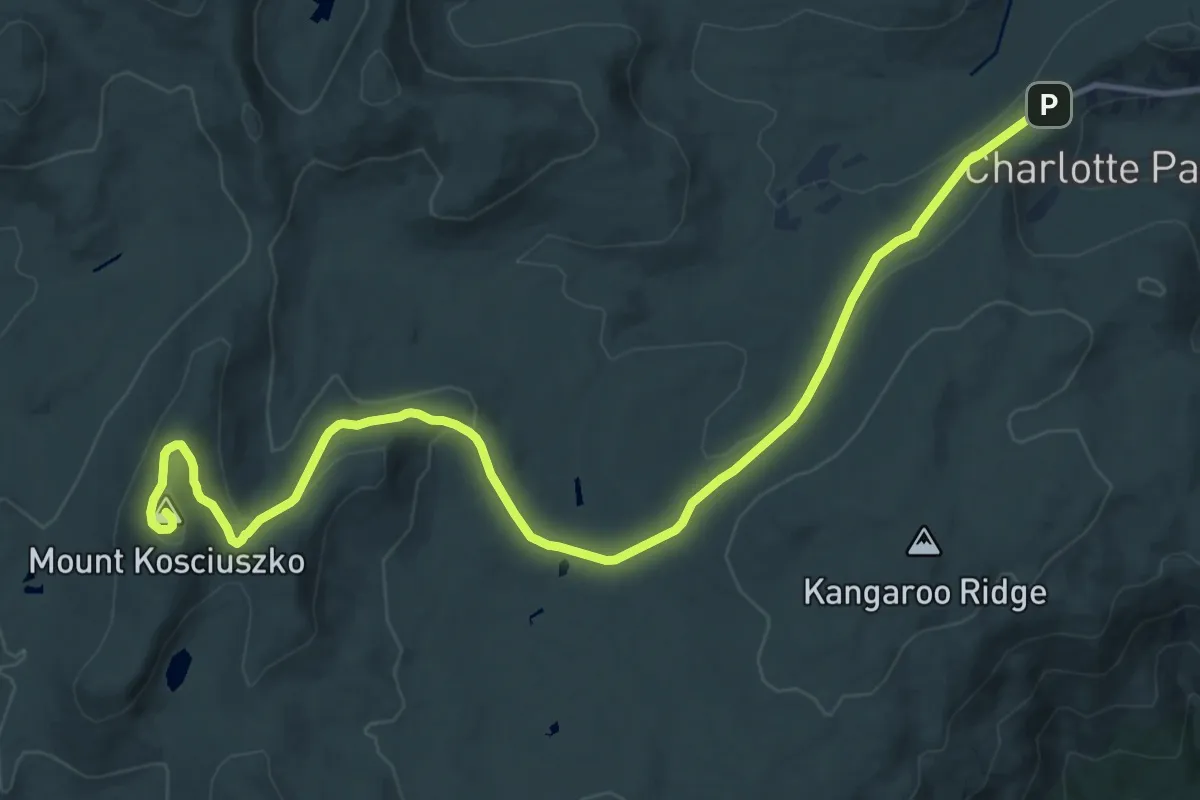
Demanding · Summit
Mount Kosciuszko Summit Walk
18.5 km · ↑ 409 m · 5 h 15 min
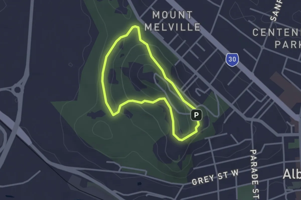
Easy · Trail
Mount Melville Circuit Trail
2.7 km · ↑ 91 m · 52 min
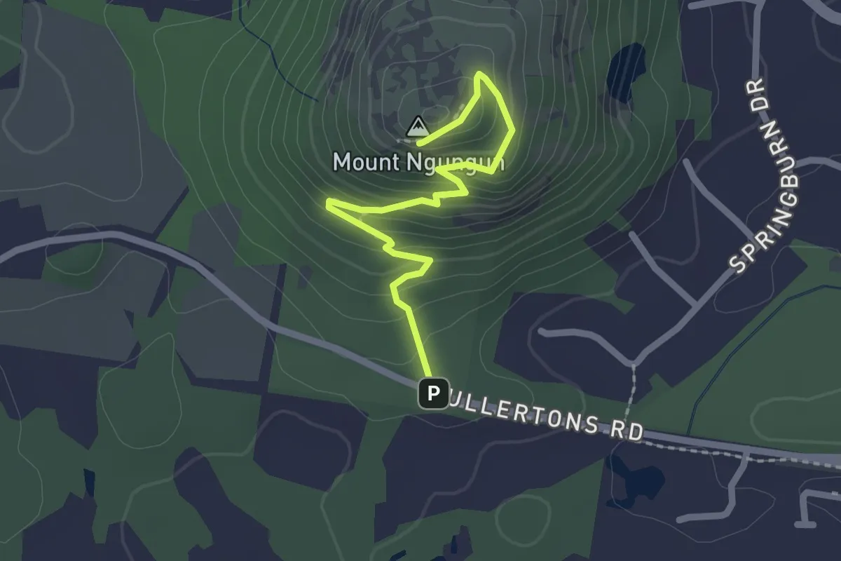
Easy · Summit
Mount Ngungun summit walking track
2.7 km · ↑ 175 m · 1 h
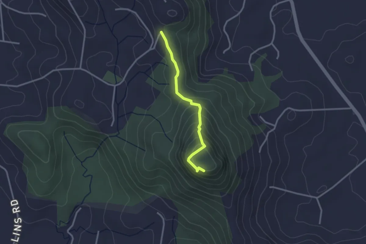
Easy · Summit
Mount Ninderry Summit Trail
2.9 km · ↑ 201 m · 1 h 7 min
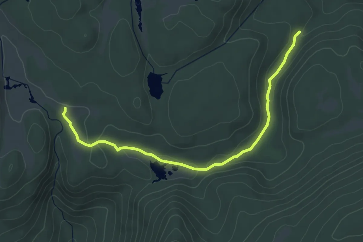
Easy · Trail
Mount Pillinger Arm River Loop Track
5.4 km · ↑ 97 m · 1 h 29 min
Easy · Summit
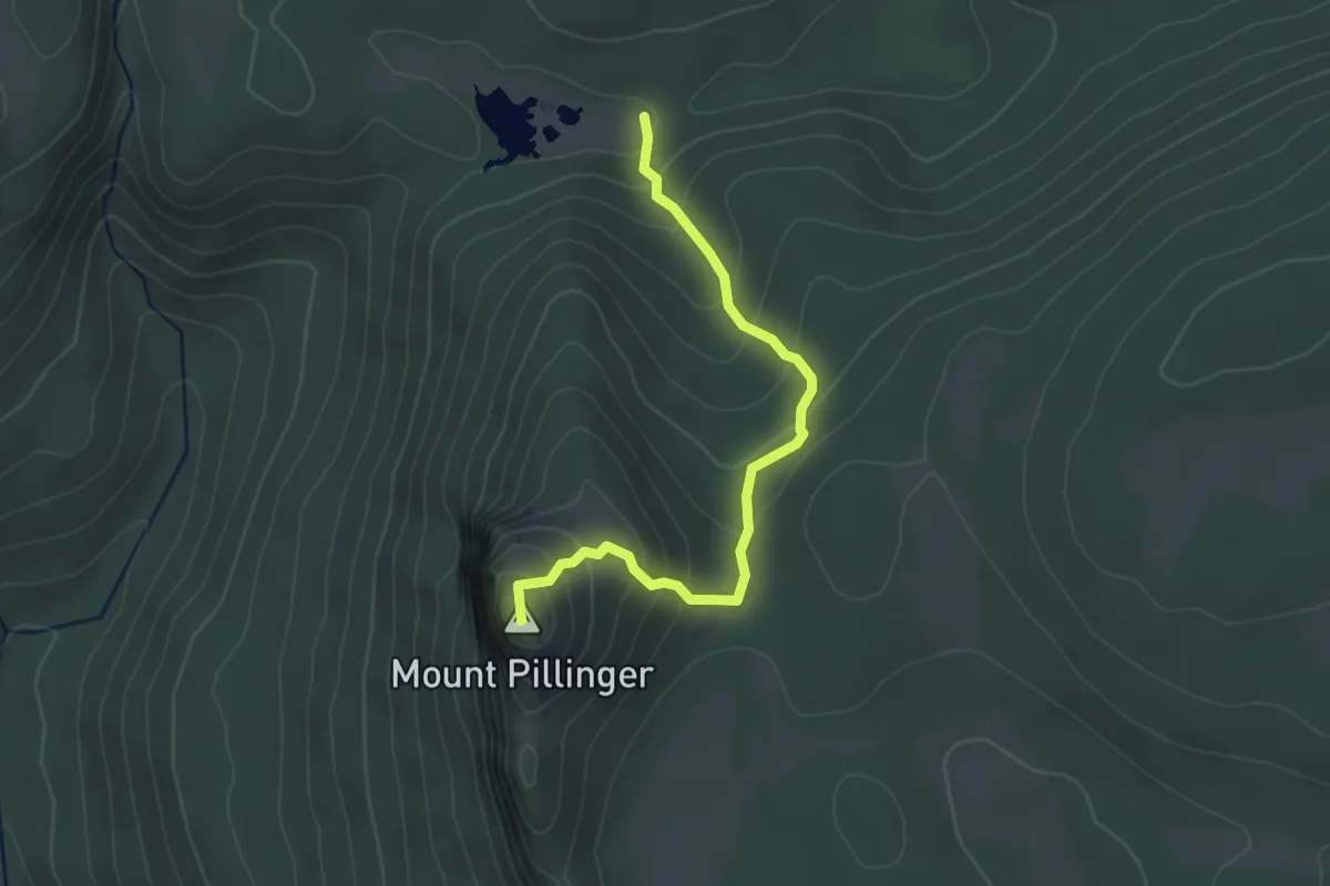
Mount Pillinger Summit Track
3.5 km · ↑ 295 m · 1 h 28 min
Medium · Summit
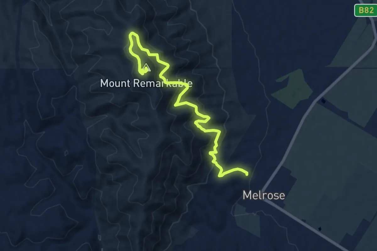
Mount Remarkable Summit Hike
13.0 km · ↑ 699 m · 4 h 35 min
Easy · Summit
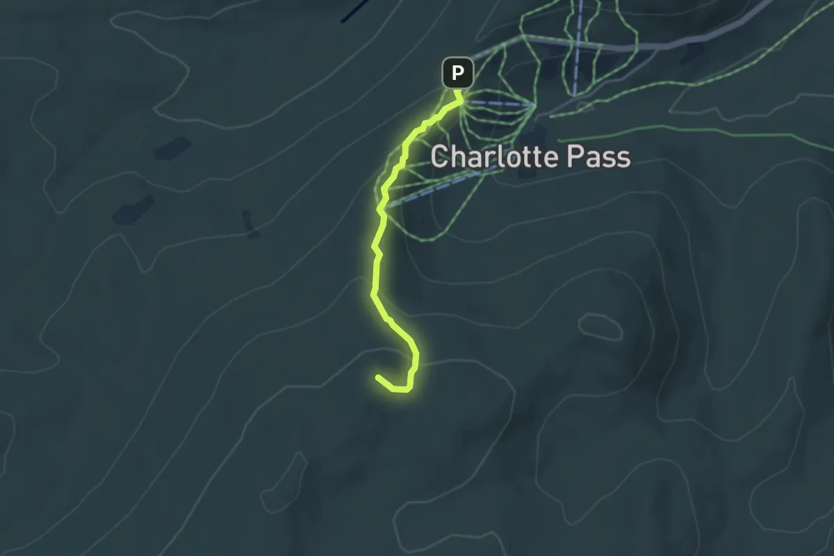
Mount Stilwell Walk
3.8 km · ↑ 201 m · 1 h 20 min
Medium · Summit
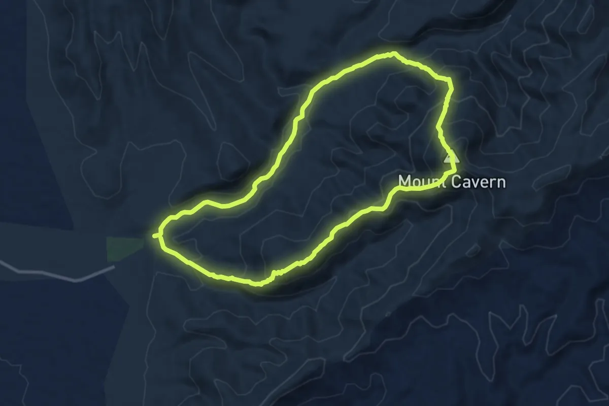
Mt Cavern Trek
10.7 km · ↑ 663 m · 4 h 6 min