Trails in Australia
551 hiking trails, each with its route, climb, walking time and grade.
All trails, page 7 of 12
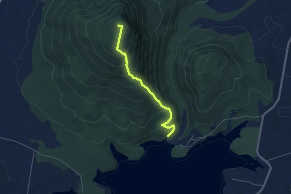
Medium · Summit
Mt Edwards Summit
4.9 km · ↑ 468 m · 2 h 10 min
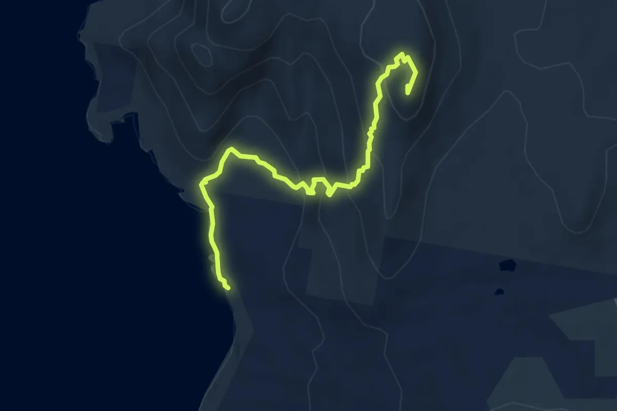
Easy · Summit
Mt Killicrankie
5.9 km · ↑ 300 m · 2 h 3 min
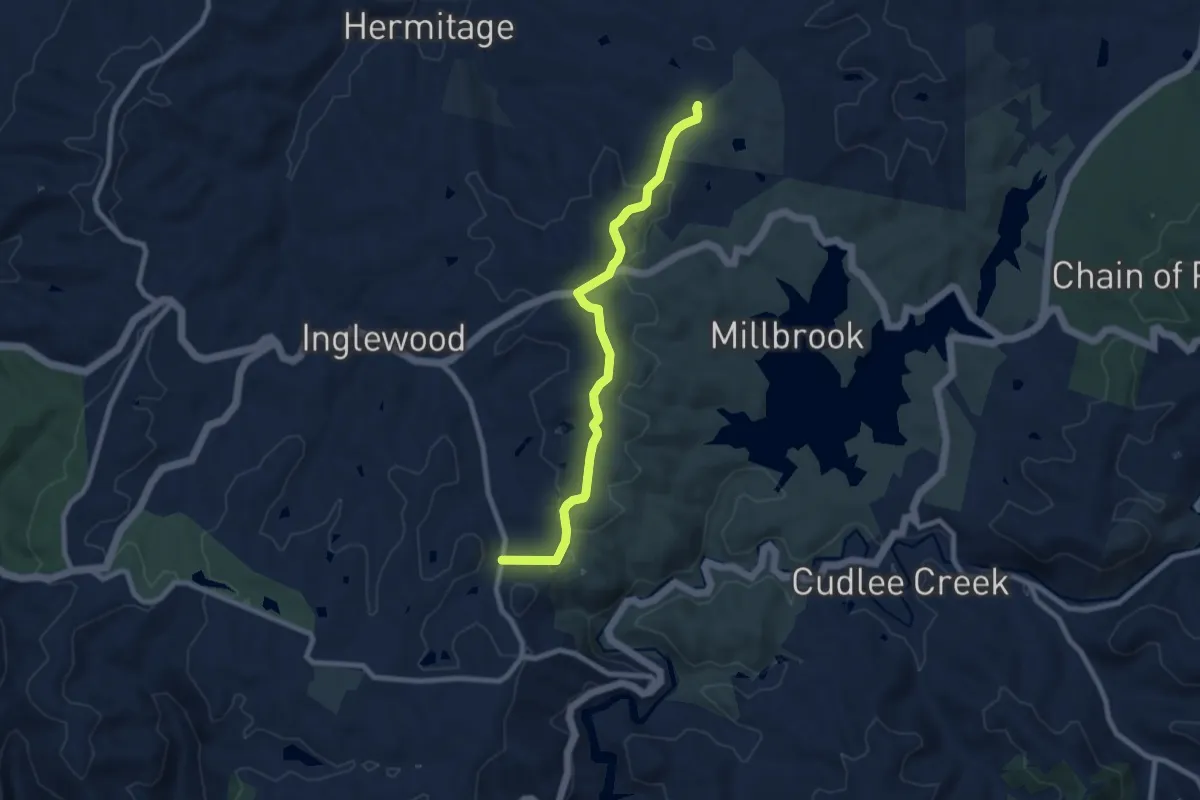
Medium · Trail
Mt Lofty Walking Trail
9.9 km · ↑ 242 m · 2 h 51 min
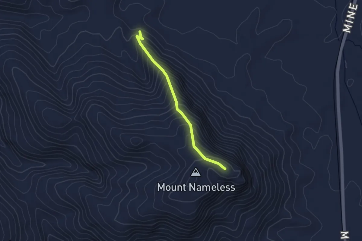
Medium · Trail
Mt Nameless Walk Trail
3.4 km · ↑ 330 m · 1 h 31 min
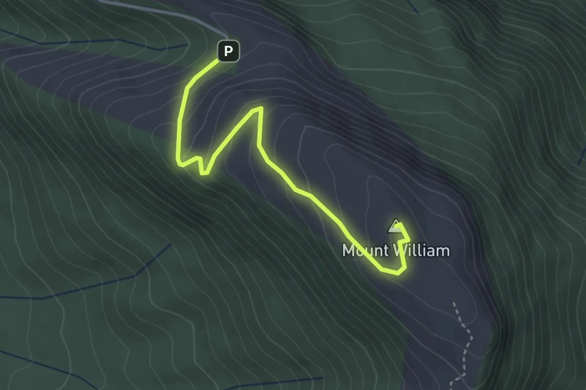
Easy · Summit
Mt William
4.1 km · ↑ 227 m · 1 h 28 min
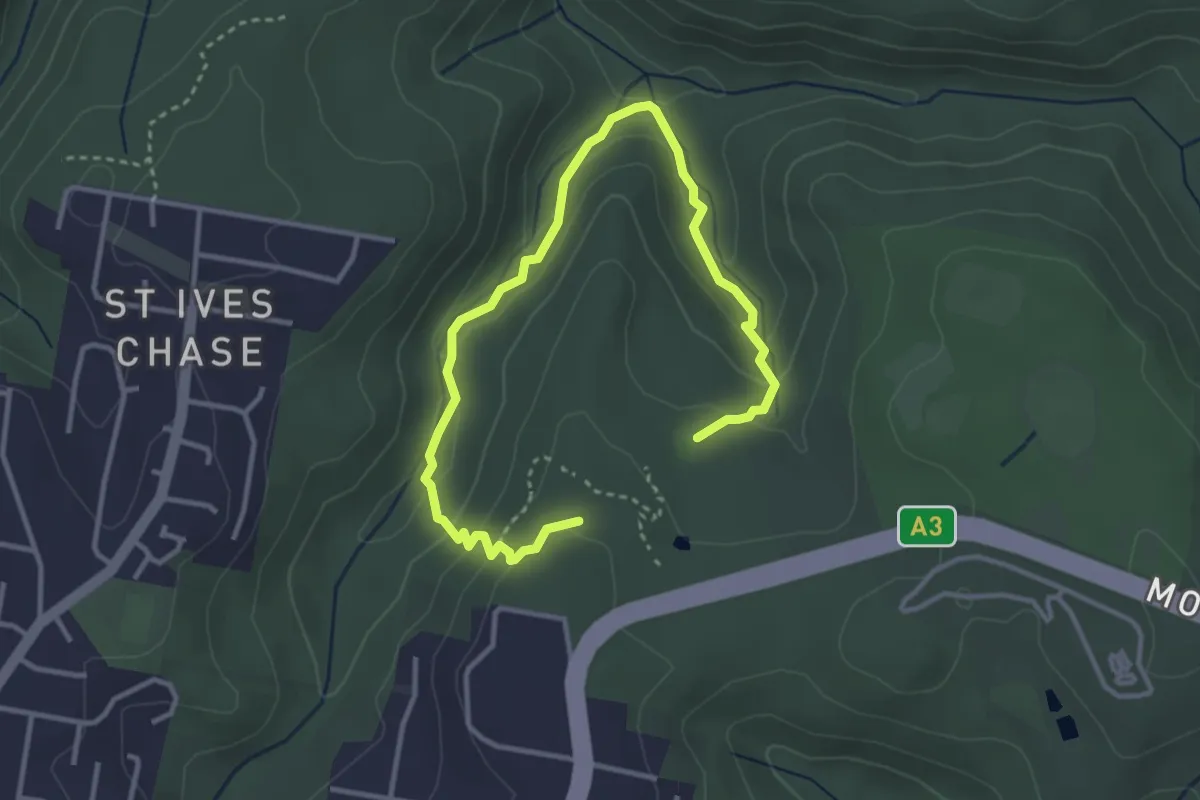
Easy · Trail
Mueller Track
5.3 km · ↑ 238 m · 1 h 47 min
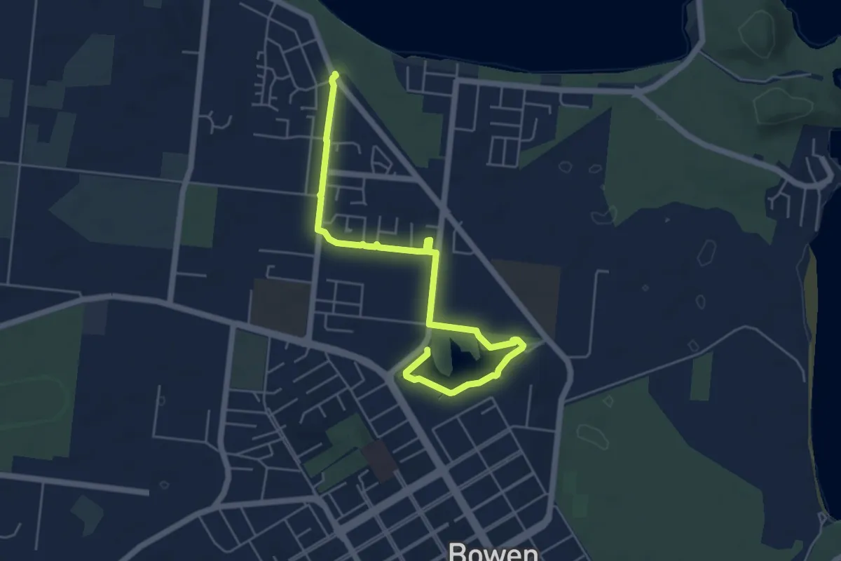
Medium · Trail
Muller's Lagoon to Queens Bay
8.1 km · ↑ 13 m · 1 h 56 min
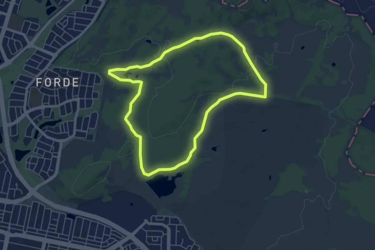
Easy · Trail
Mulligans Bird Walk
6.0 km · ↑ 53 m · 1 h 37 min
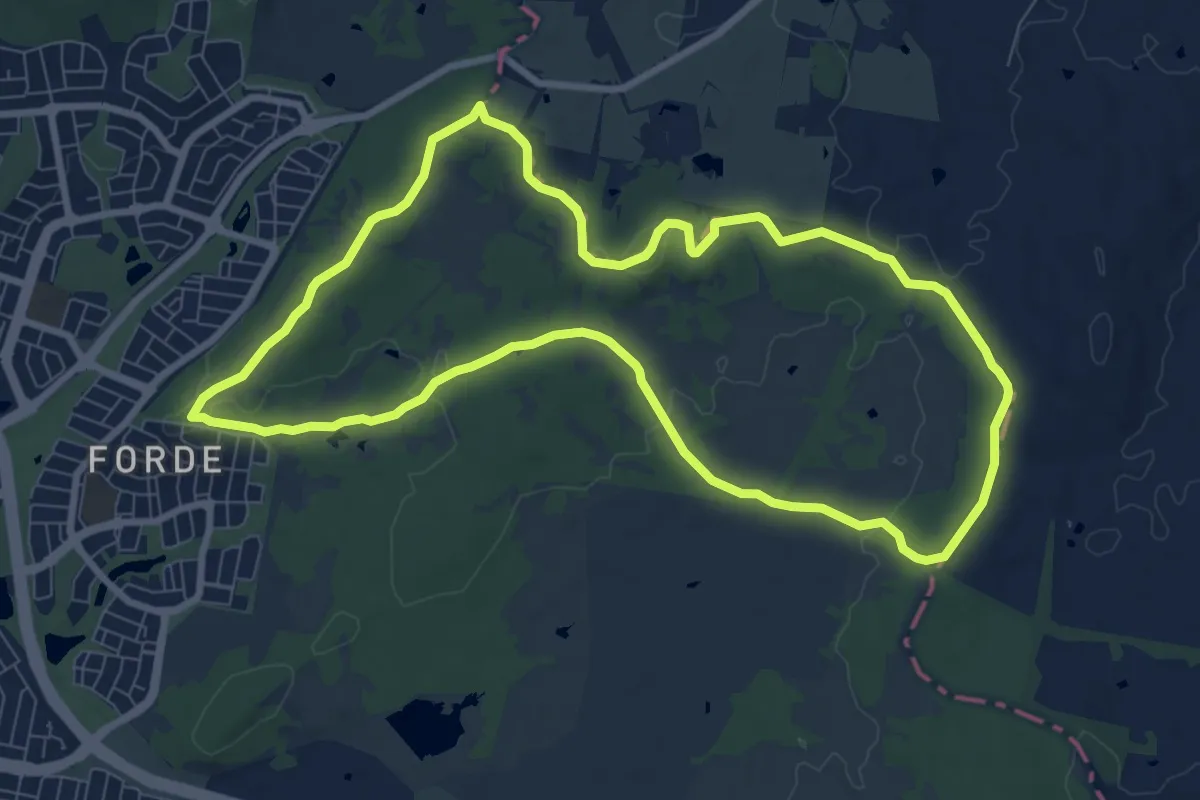
Medium · Trail
Mulligans Circuit
10.4 km · ↑ 147 m · 2 h 55 min
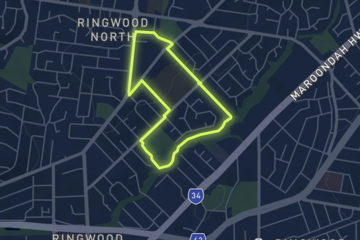
Easy · Trail
Mullum Walking Route
3.8 km · ↑ 61 m · 1 h 5 min
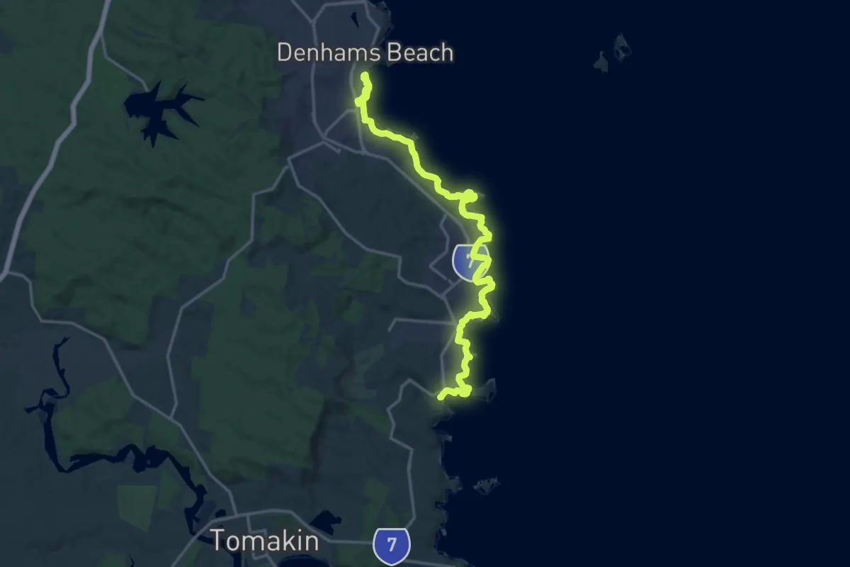
Demanding · Trail
Munjip Trail
22.8 km · ↑ 664 m · 6 h 49 min
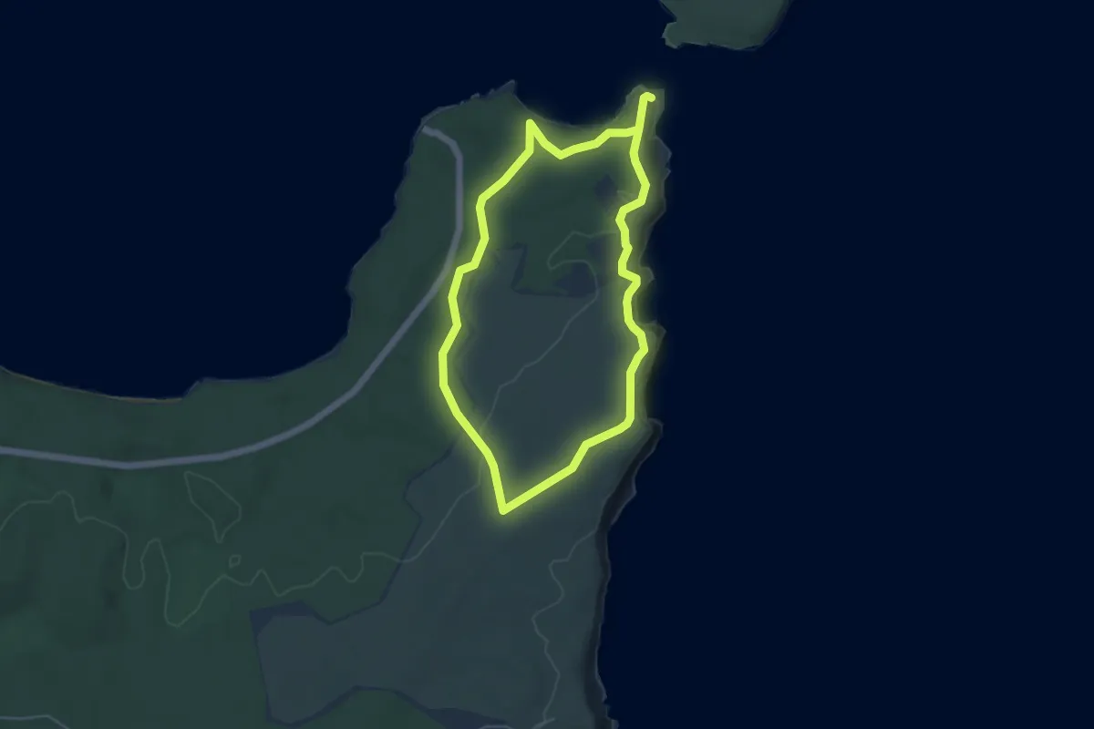
Medium · Trail
Munyunga Waraga Dhugan
10.5 km · ↑ 165 m · 2 h 50 min
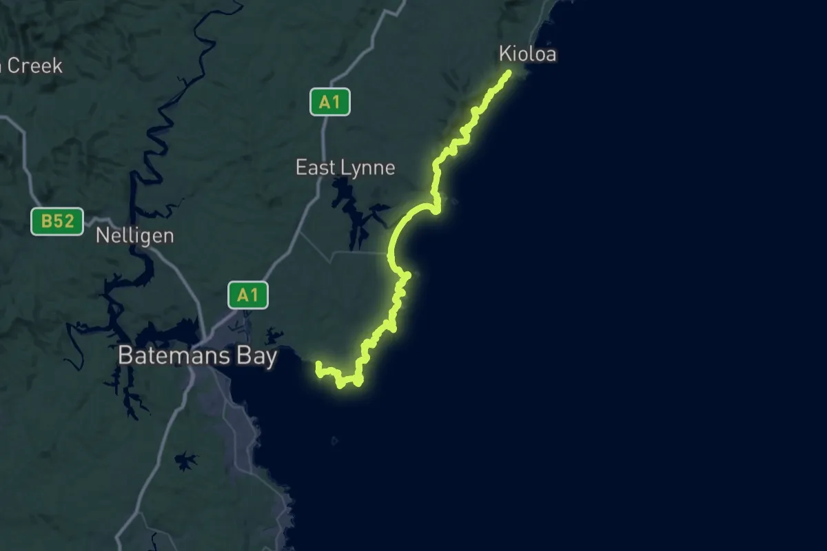
Demanding · Trail
Murramarang South Coast Walk
33.9 km · ↑ 934 m · 10 h 30 min
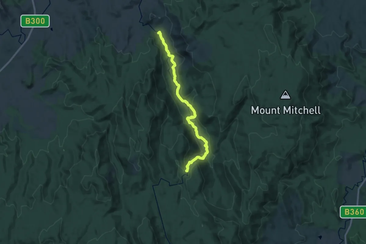
Demanding · Trail
Murrindindi River Walk
22.6 km · ↑ 646 m · 6 h 44 min
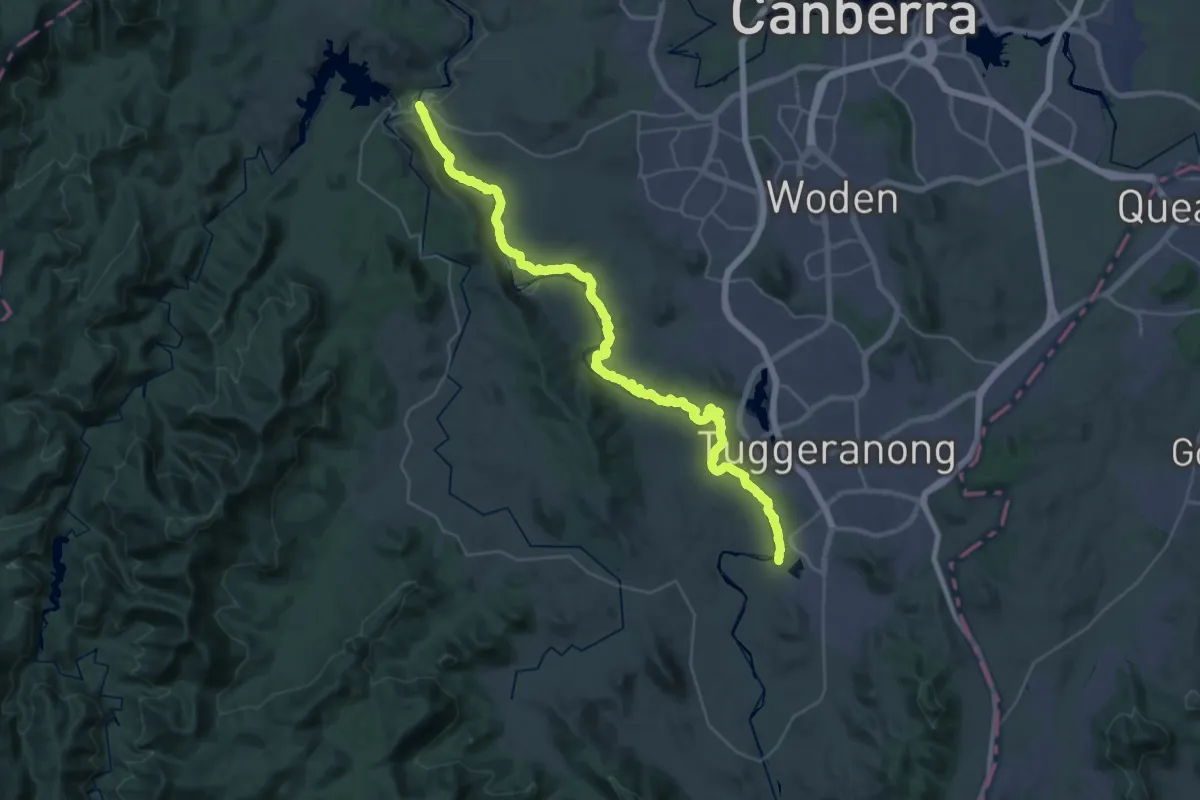
Demanding · Trail
Murrumbidgee Discovery Track
25.4 km · ↑ 450 m · 7 h 23 min
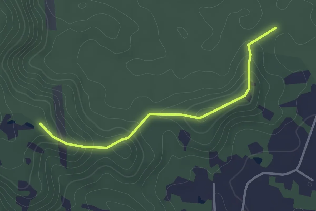
Easy · Trail
Myla track
3.3 km · ↑ 137 m · 1 h 5 min
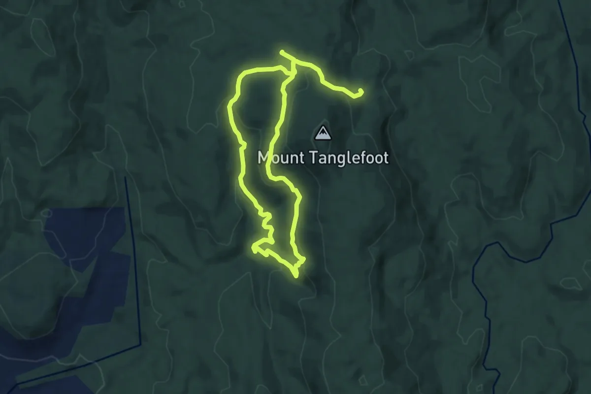
Medium · Trail
Myrtle Gully Circuit
8.4 km · ↑ 362 m · 2 h 54 min
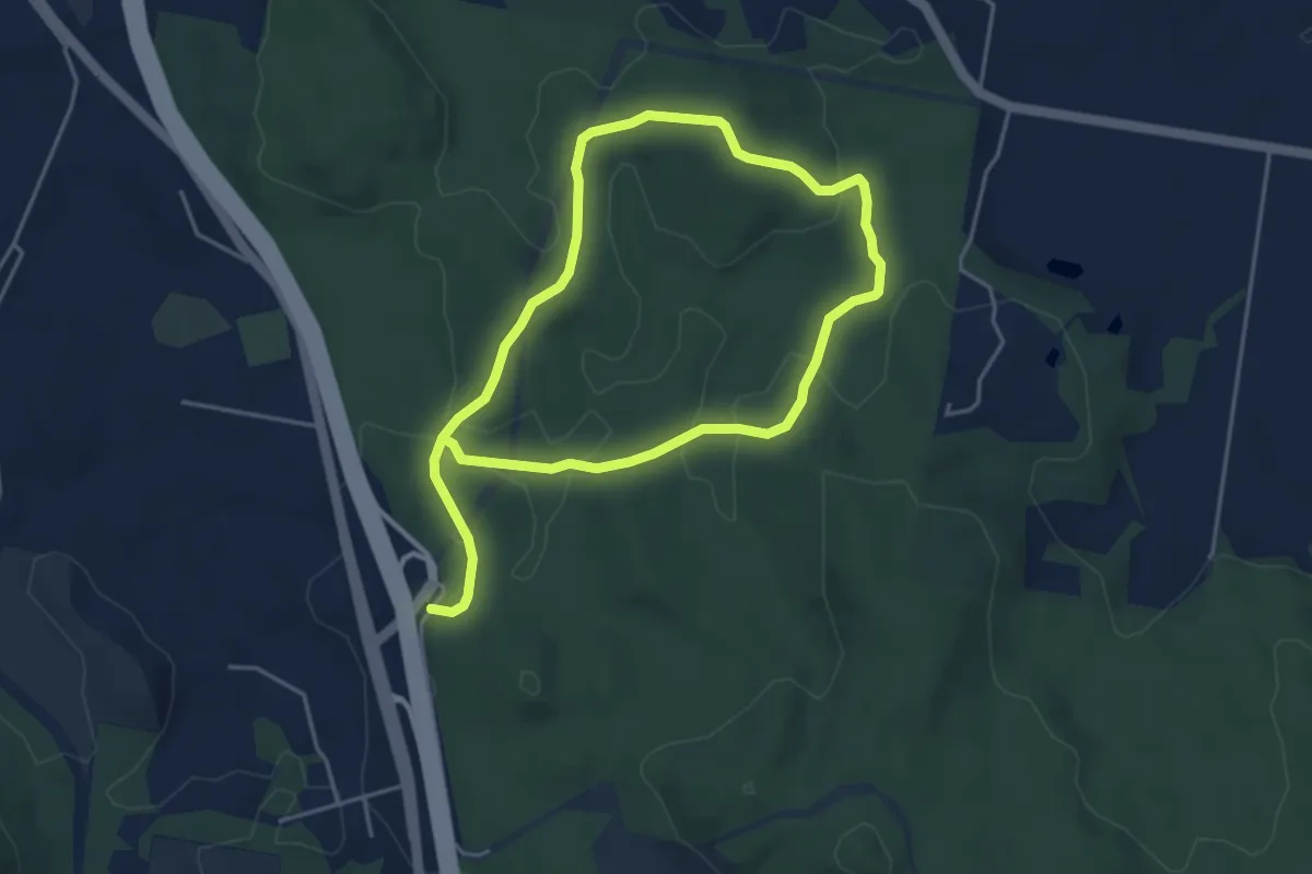
Easy · Trail
Nambour Parkrun
4.7 km · ↑ 128 m · 1 h 28 min
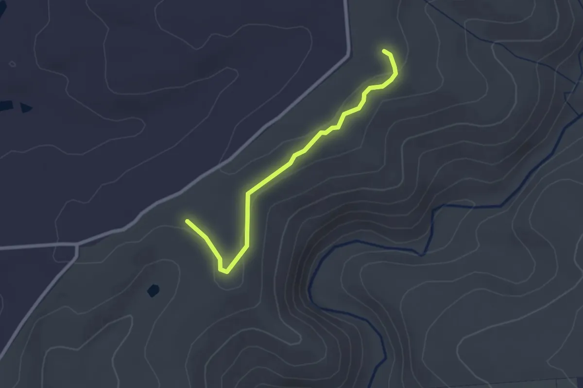
Easy · Trail
Nature Trail
2.7 km · ↑ 48 m · 45 min
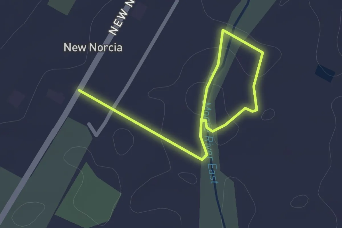
Easy · Trail
New Norcia River Walk
2.8 km · ↑ 11 m · 41 min
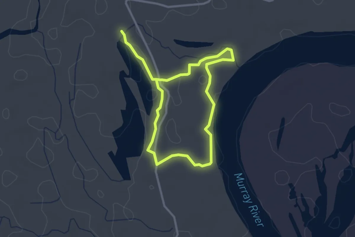
Easy · Trail
Ngak Indau Wetland Trail
5.3 km · ↑ 18 m · 1 h 18 min
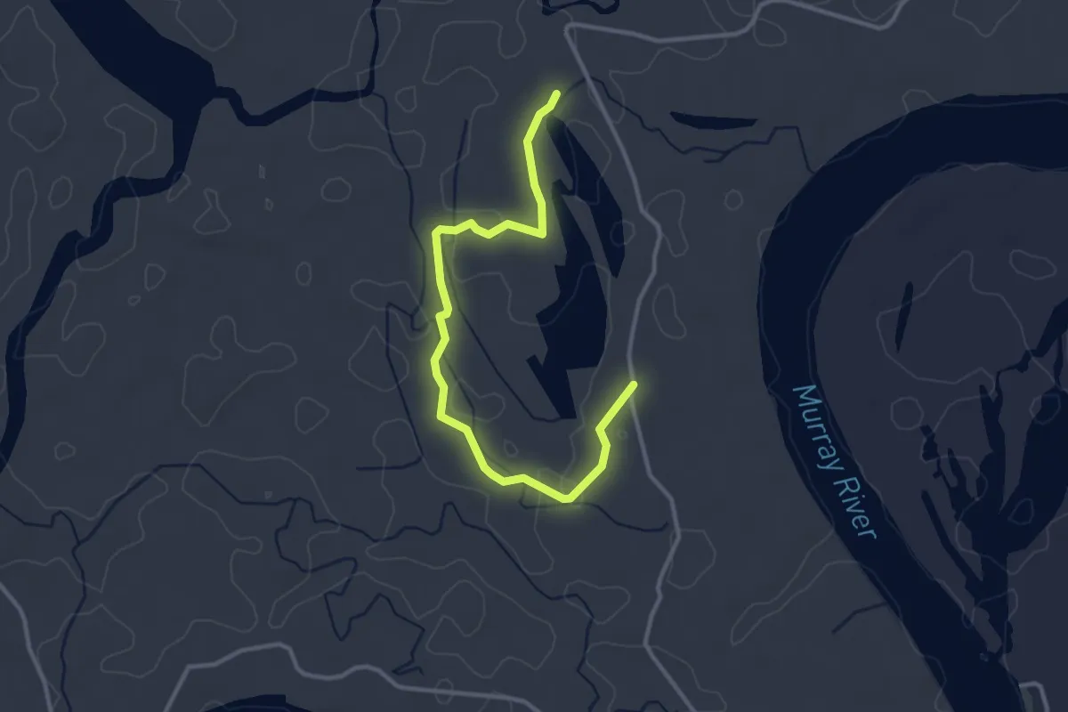
Easy · Trail
Ngak Indau Wetland Trail (old route)
2.1 km · ↑ 10 m · 32 min
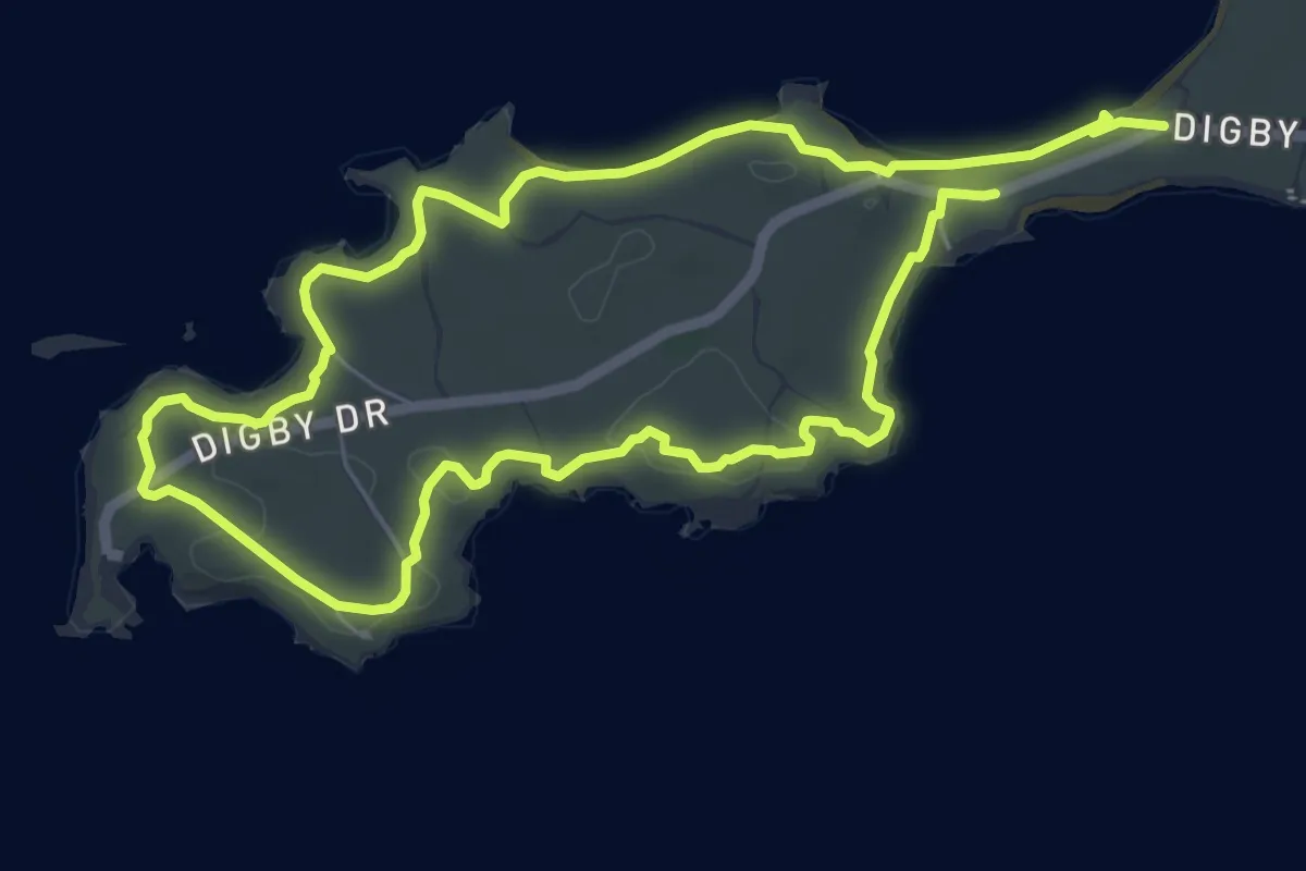
Easy · Trail
Ngank Wen Bidi
6.8 km · ↑ 44 m · 1 h 47 min
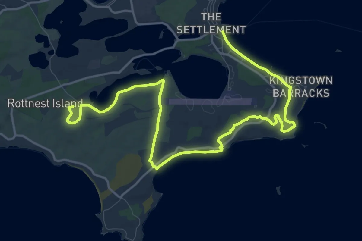
Medium · Summit
Ngank Yira Bidi (Bickley Bay)
17.9 km · ↑ 194 m · 4 h 39 min
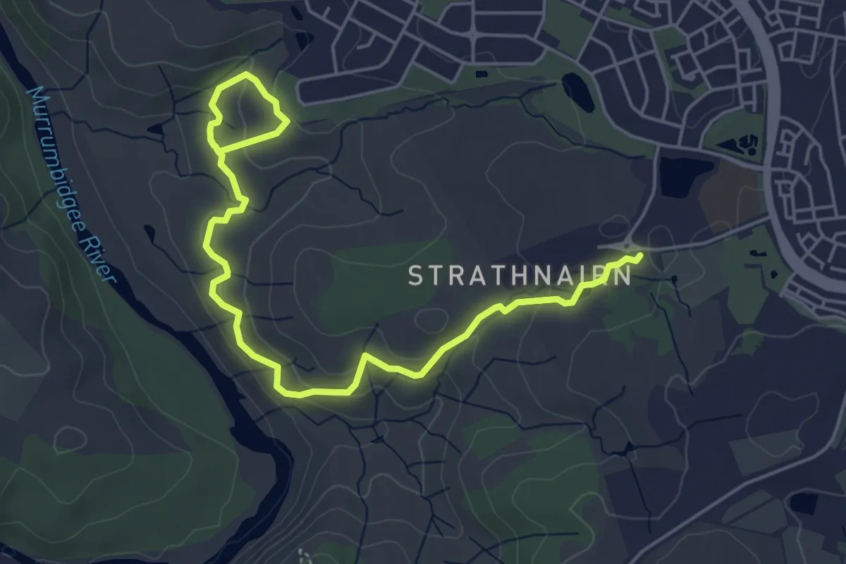
Easy · Trail
Nguurung Bila Loop
3.6 km · ↑ 72 m · 1 h 6 min
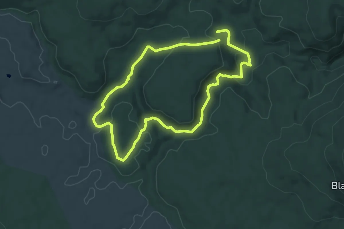
Easy · Trail
Nichols Gorge Walk
6.6 km · ↑ 164 m · 2 h
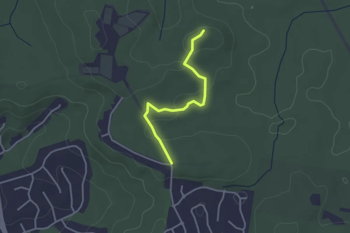
Easy · Trail
Nightjar Walk
3.2 km · ↑ 68 m · 55 min
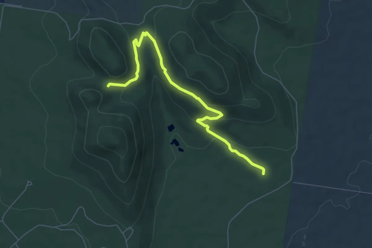
Easy · Trail
Northern Range Walk
6.9 km · ↑ 246 m · 2 h 9 min
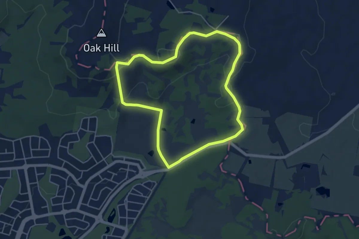
Easy · Trail
North Mulligans Circuit
4.7 km · ↑ 115 m · 1 h 25 min
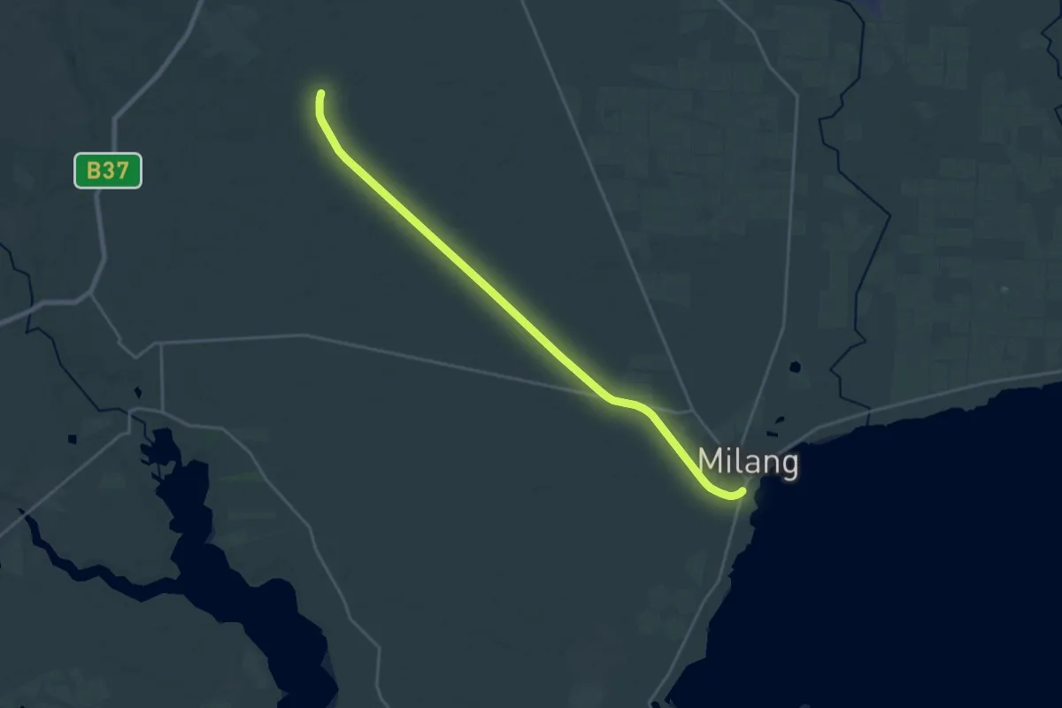
Demanding · Trail
Nurragi Conservation Reserve
25.7 km · ↑ 67 m · 6 h 12 min
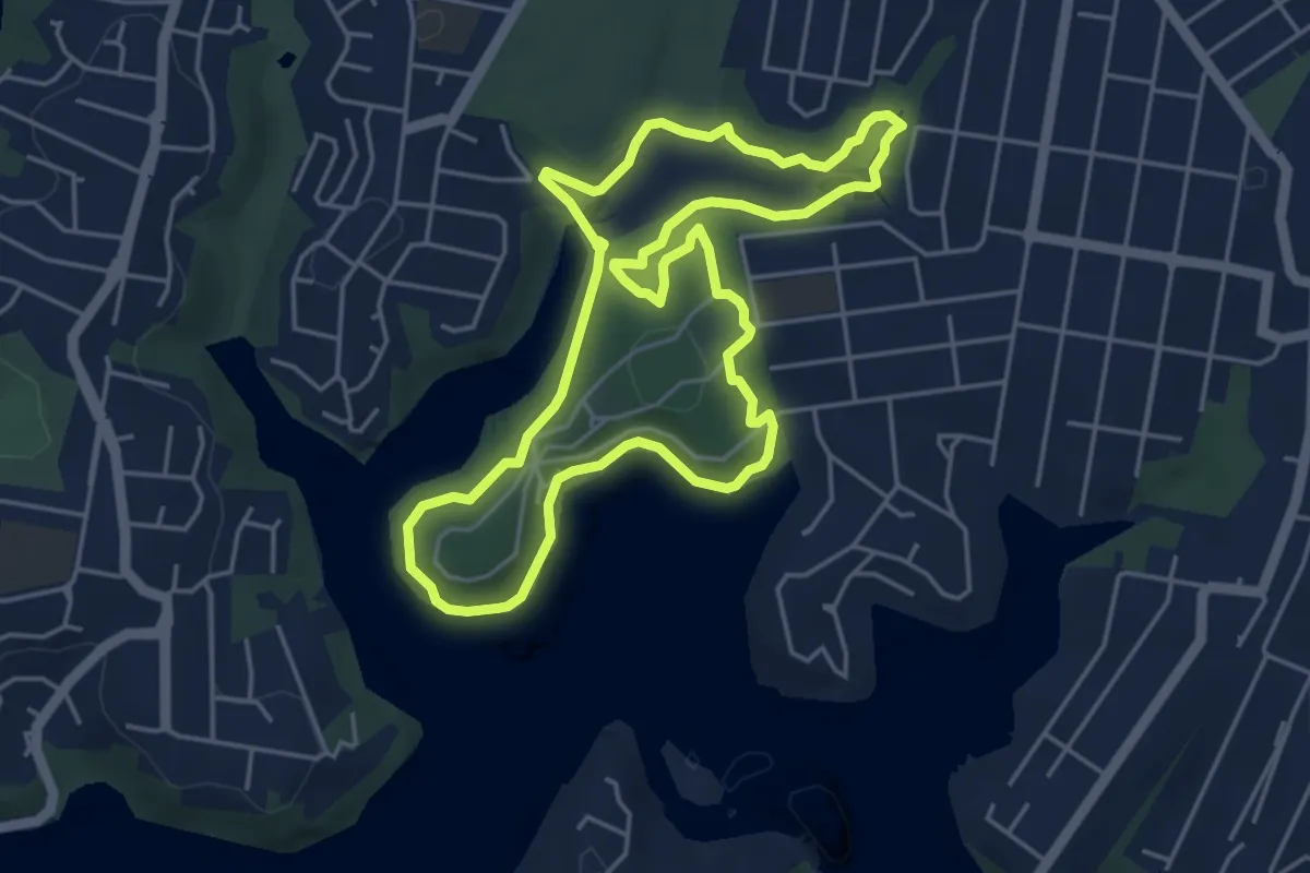
Easy · Trail
Oatley Park - Lime Kiln Bay circuit walk
5.8 km · ↑ 118 m · 1 h 43 min
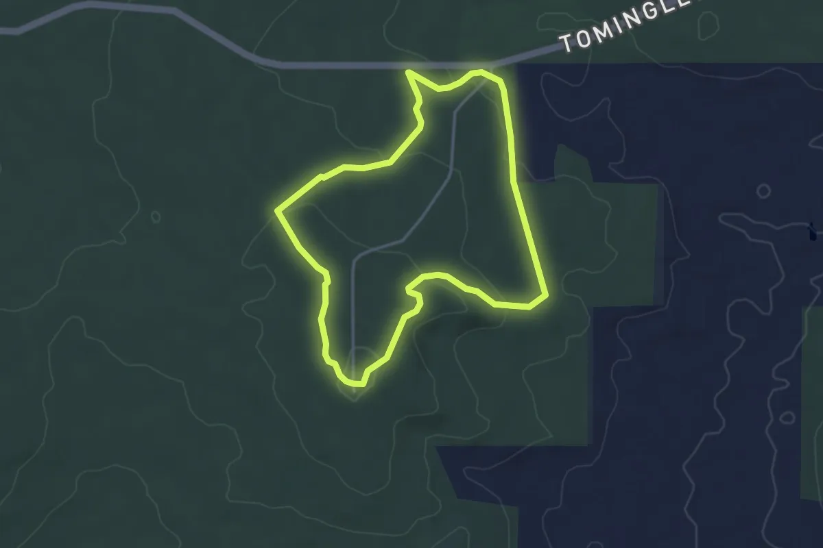
Easy · Trail
Ochre Walk
4.0 km · ↑ 72 m · 1 h 10 min
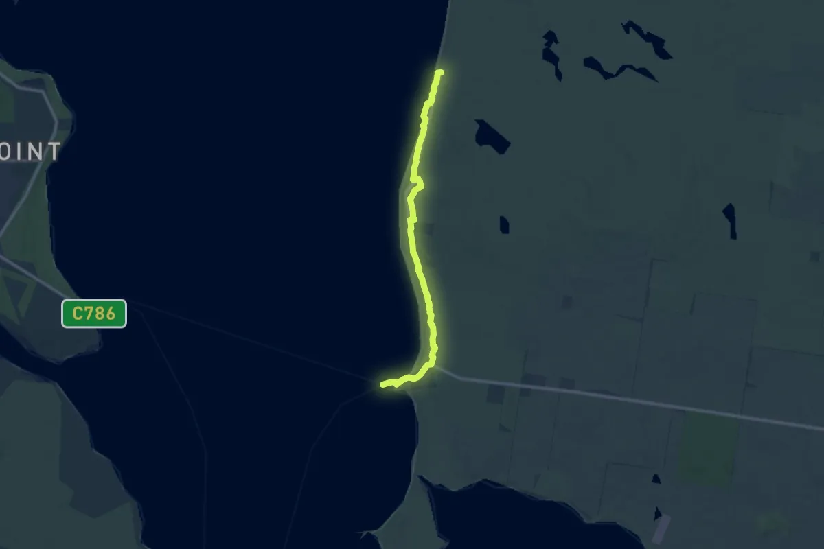
Medium · Trail
Old Coast Road Track
11.6 km · ↑ 38 m · 2 h 49 min
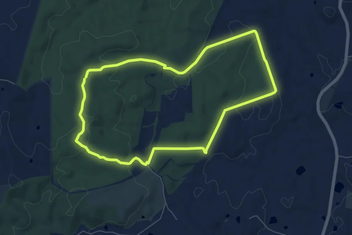
Easy · Trail
Old Kersbrook Loop Trail
7.5 km · ↑ 175 m · 2 h 16 min
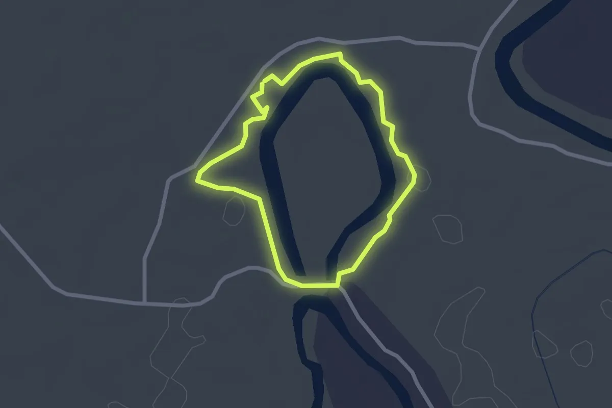
Easy · Trail
Old Kinchega Homestead Billabong Walk
2.2 km · ↑ 9 m · 35 min
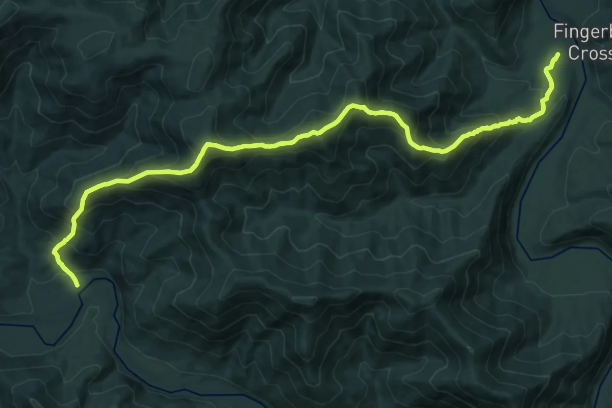
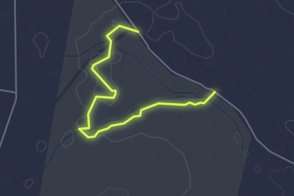
Demanding · Trail
Old Kunderang Bridle Track
18.2 km · ↑ 1551 m · 7 h 40 min
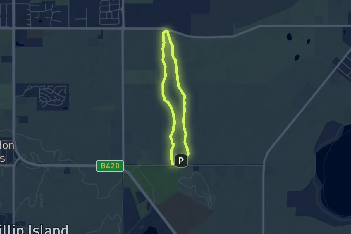
Easy · Trail
Orchid Hike
4.2 km · ↑ 22 m · 1 h 3 min
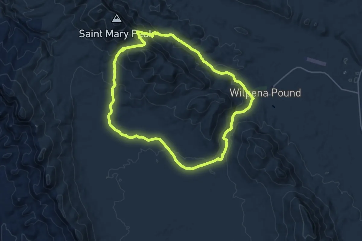
Easy · Trail
Oswin Roberts Circuit
4.3 km · ↑ 21 m · 1 h 8 min
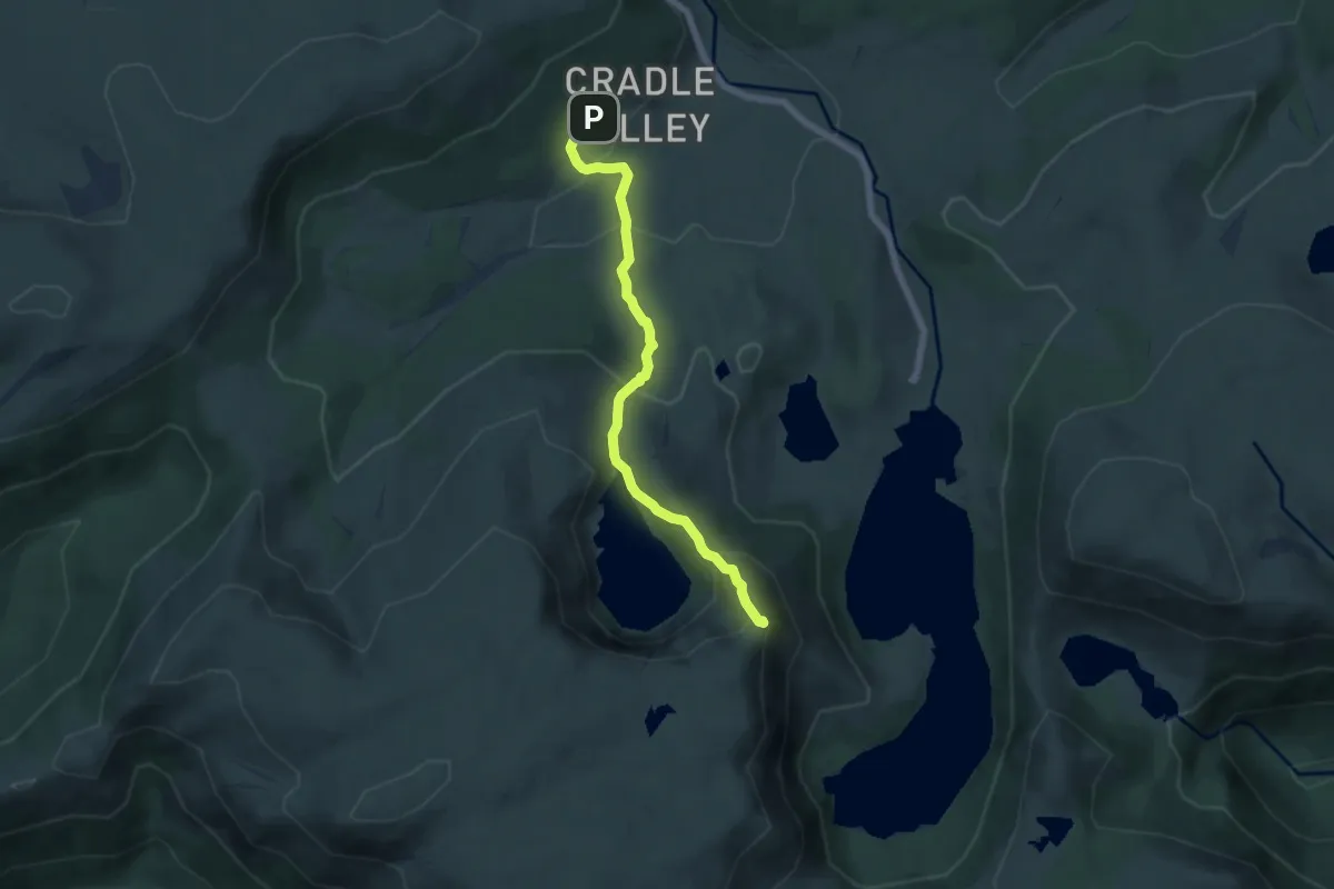
Medium · Trail
Outside Trail
16.9 km · ↑ 487 m · 5 h 16 min
Medium · Summit
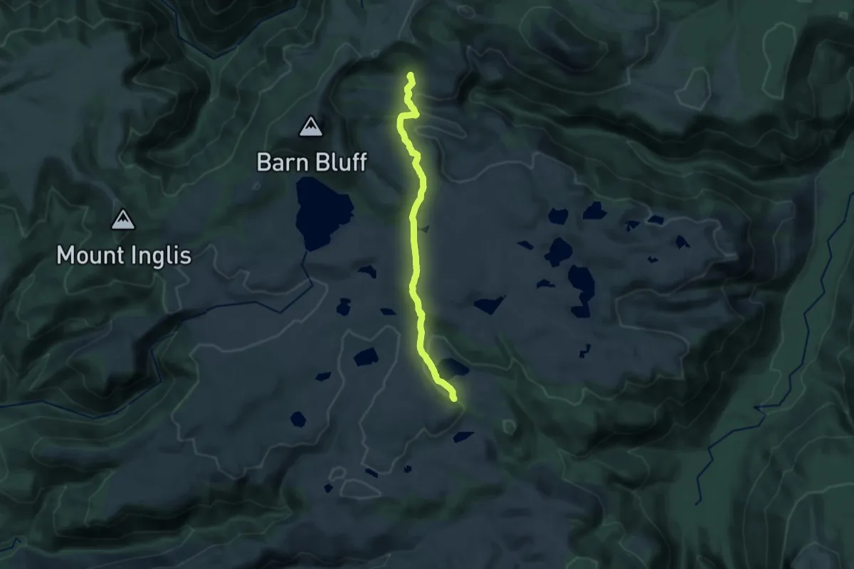
Overland Track section 1
6.4 km · ↑ 367 m · 2 h 18 min
Medium · Cabin
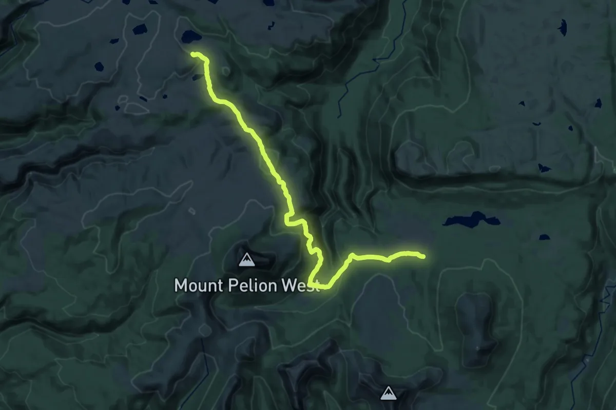
Overland Track section 2
14.7 km · ↑ 358 m · 4 h 14 min
Medium · Cabin
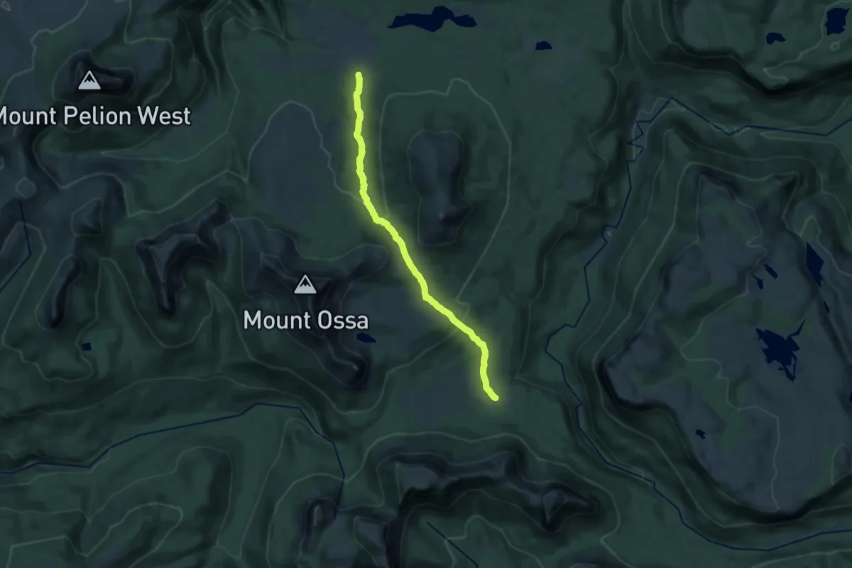
Overland Track section 3
14.8 km · ↑ 520 m · 4 h 45 min
Medium · Cabin
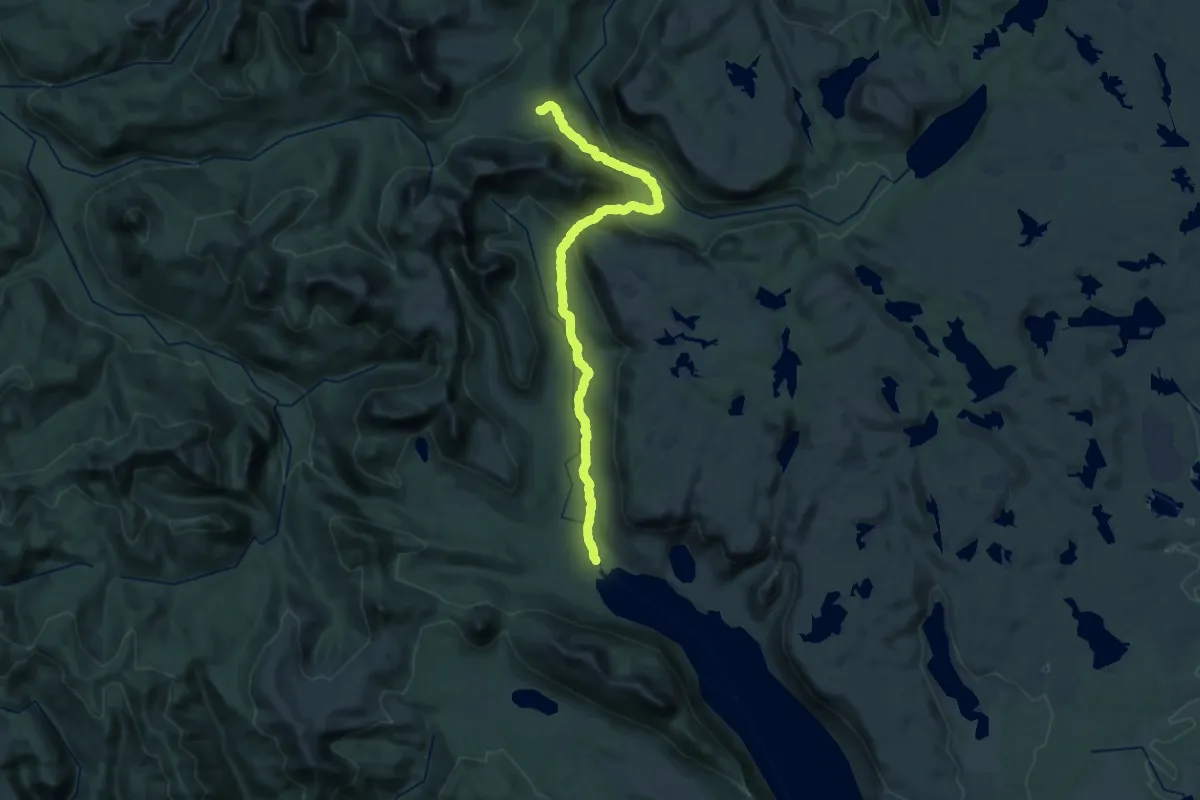
Overland Track section 4
16.5 km · ↑ 581 m · 5 h 10 min
Demanding · Cabin
Overland Track section 5
19.3 km · ↑ 391 m · 5 h 43 min
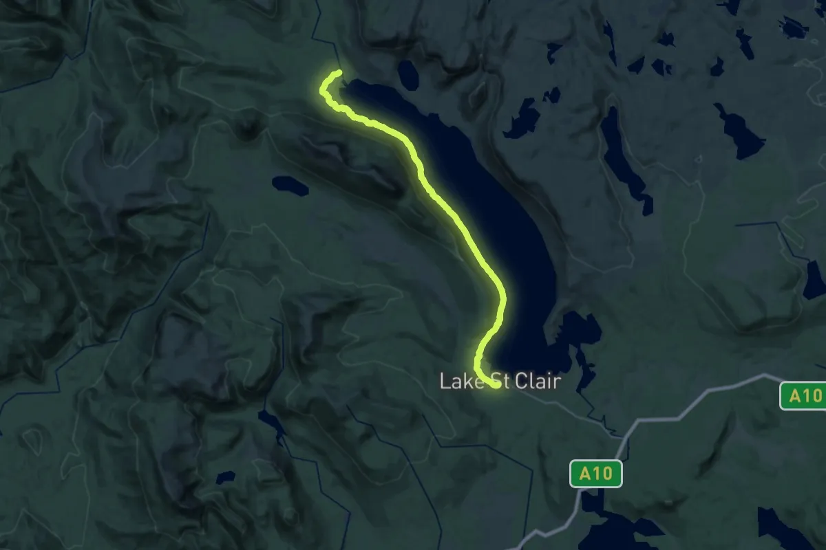
Medium · Cabin
Overland Track section 6
16.3 km · ↑ 428 m · 5 h 1 min
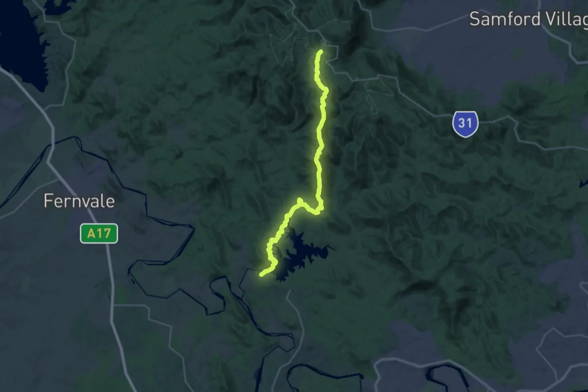
Medium · Trail
Oxfam trailwalker Brisbane
16.2 km · ↑ 355 m · 5 h 3 min
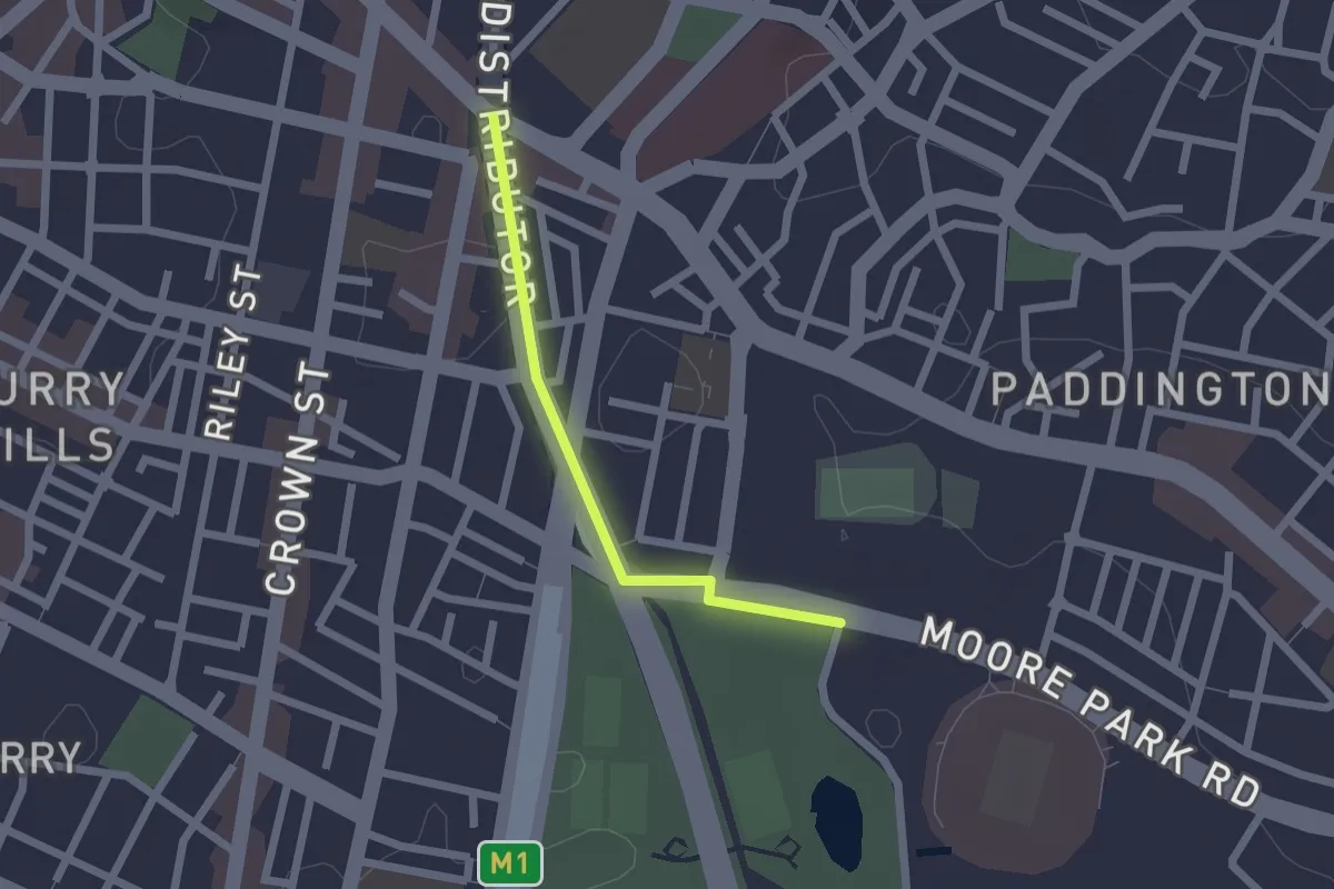
Easy · Trail
Oxford Street - Moore Park
2.1 km · ↑ 10 m · 30 min
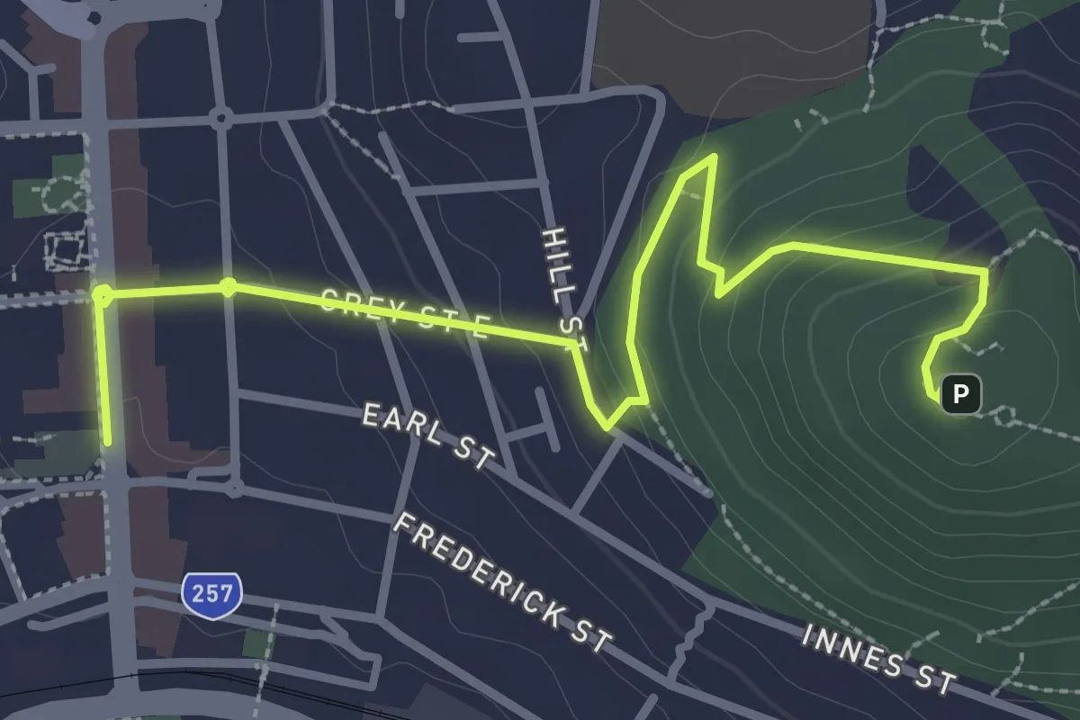
Easy · Trail
Padre White Trail
4.3 km · ↑ 160 m · 1 h 22 min