Trails in Australia
551 hiking trails, each with its route, climb, walking time and grade.
All trails, page 8 of 12
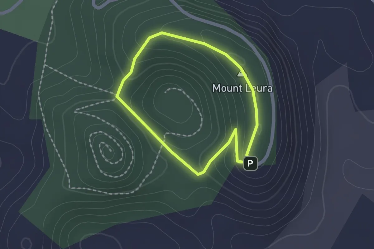
Easy · Summit
Panorama Trail
1.6 km · ↑ 58 m · 31 min
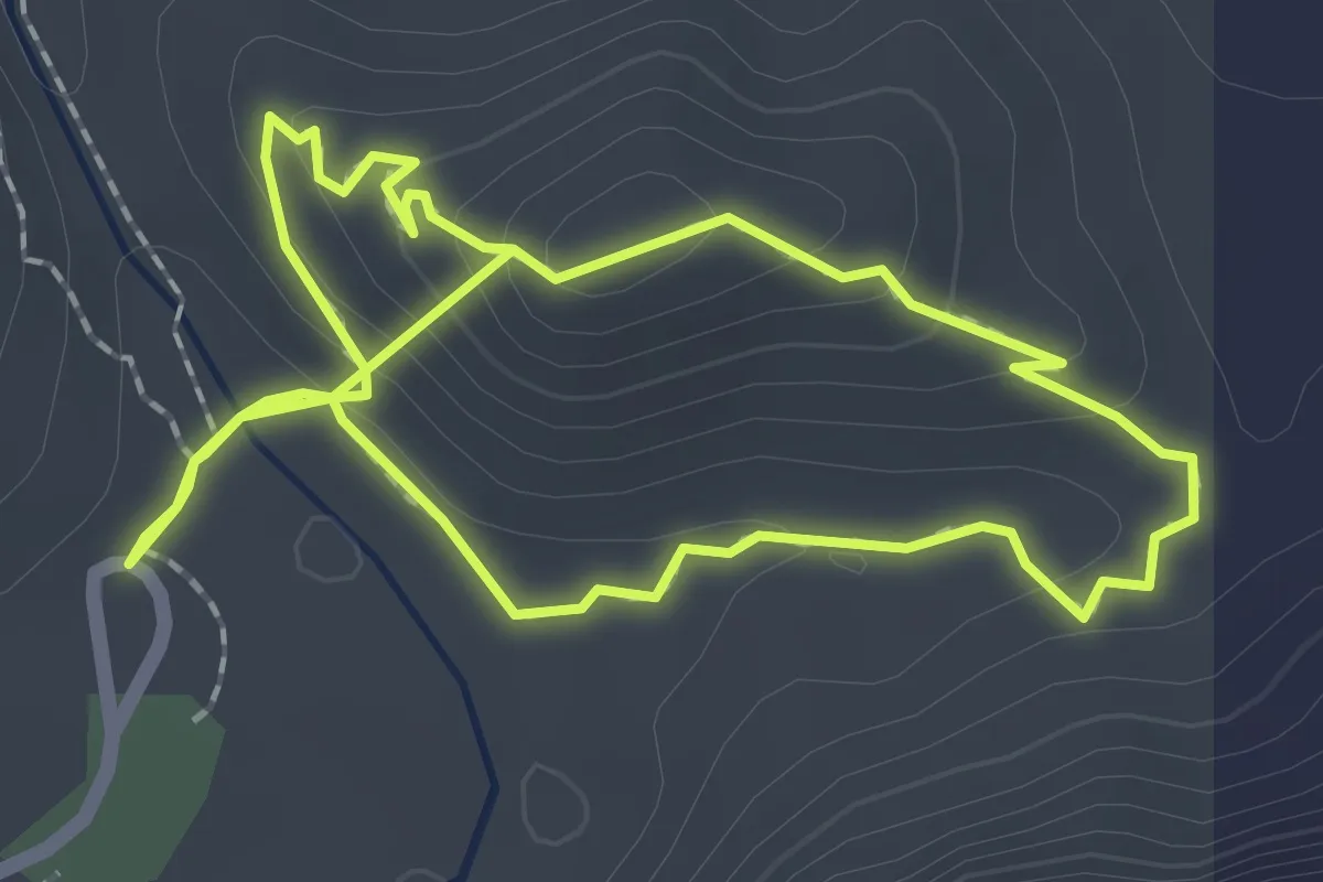
Easy · Trail
Panorama Walk
5.3 km · ↑ 242 m · 1 h 46 min
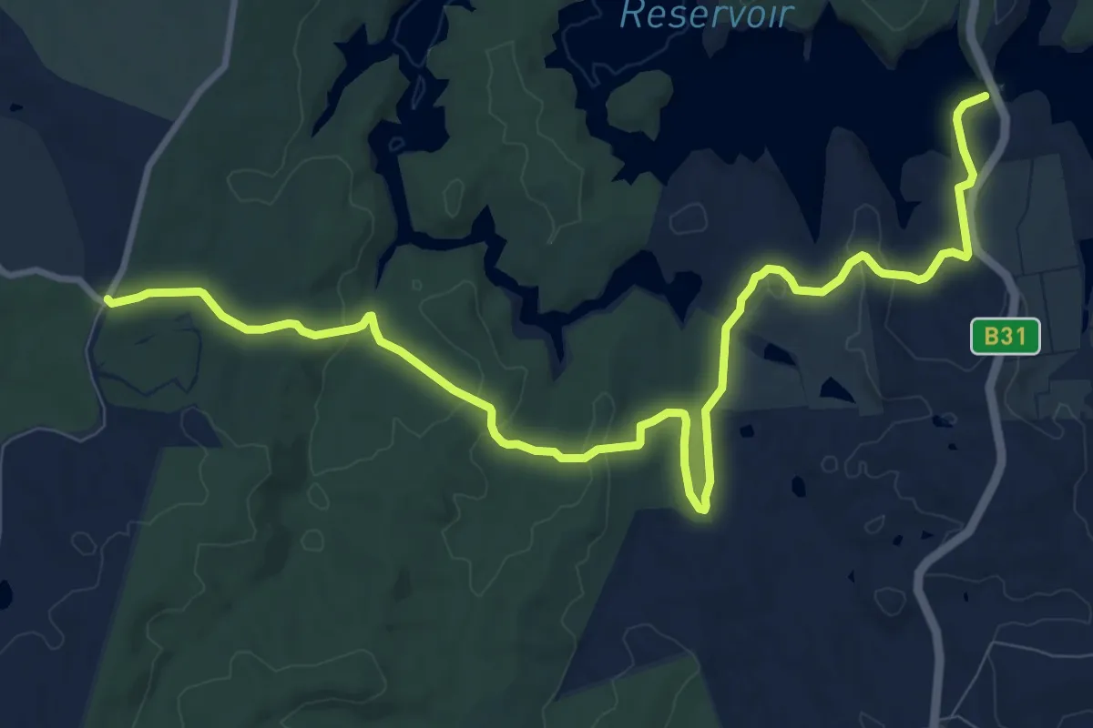
Medium · Trail
Para Wirra Conservation Park Link
14.7 km · ↑ 358 m · 4 h 15 min
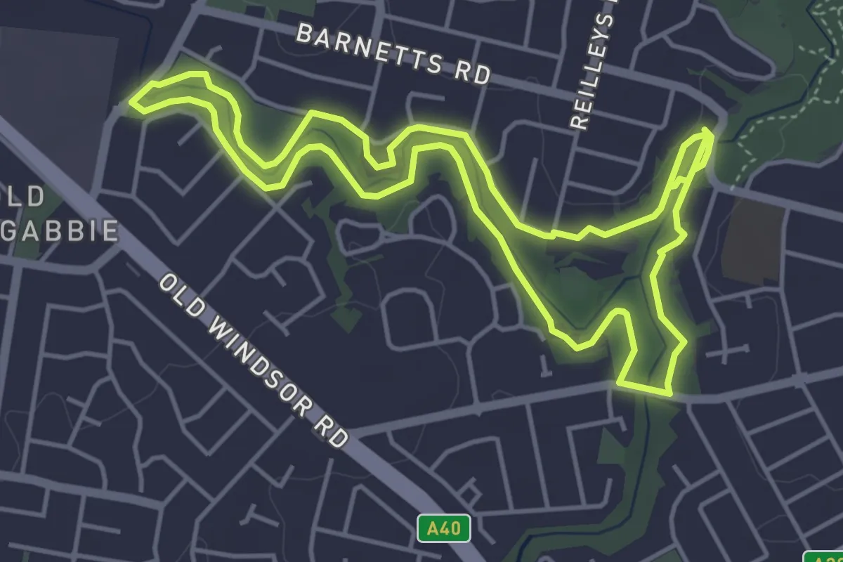
Medium · Trail
Pemulwuy Loop
11.0 km · ↑ 76 m · 2 h 45 min
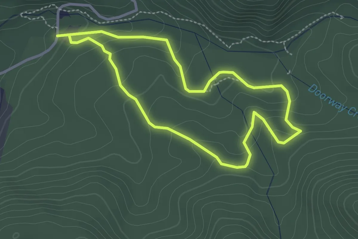
Easy · Trail
Peppermint Walk
2.9 km · ↑ 109 m · 57 min
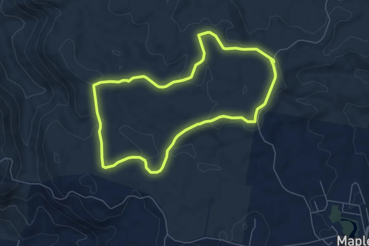
Easy · Trail
Piccabeen Circuit
6.8 km · ↑ 164 m · 2 h 3 min
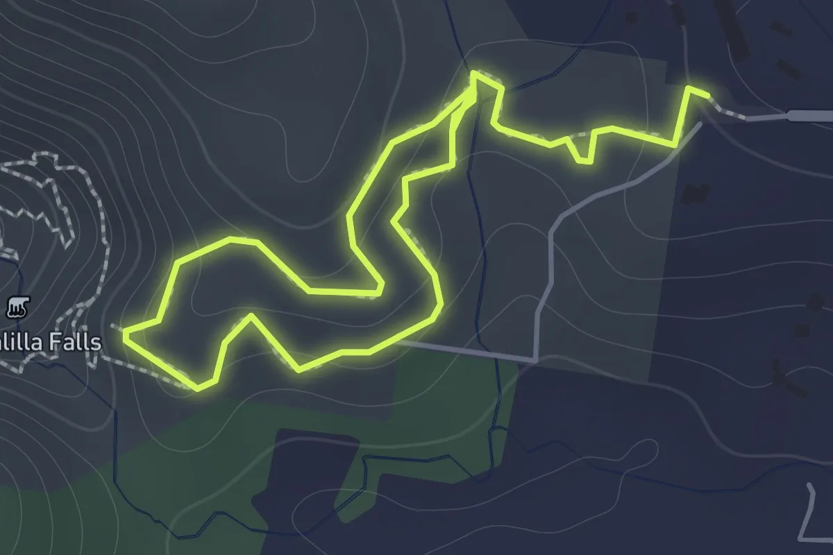
Easy · Trail
Picnic Creek Circuit
1.6 km · ↑ 62 m · 32 min
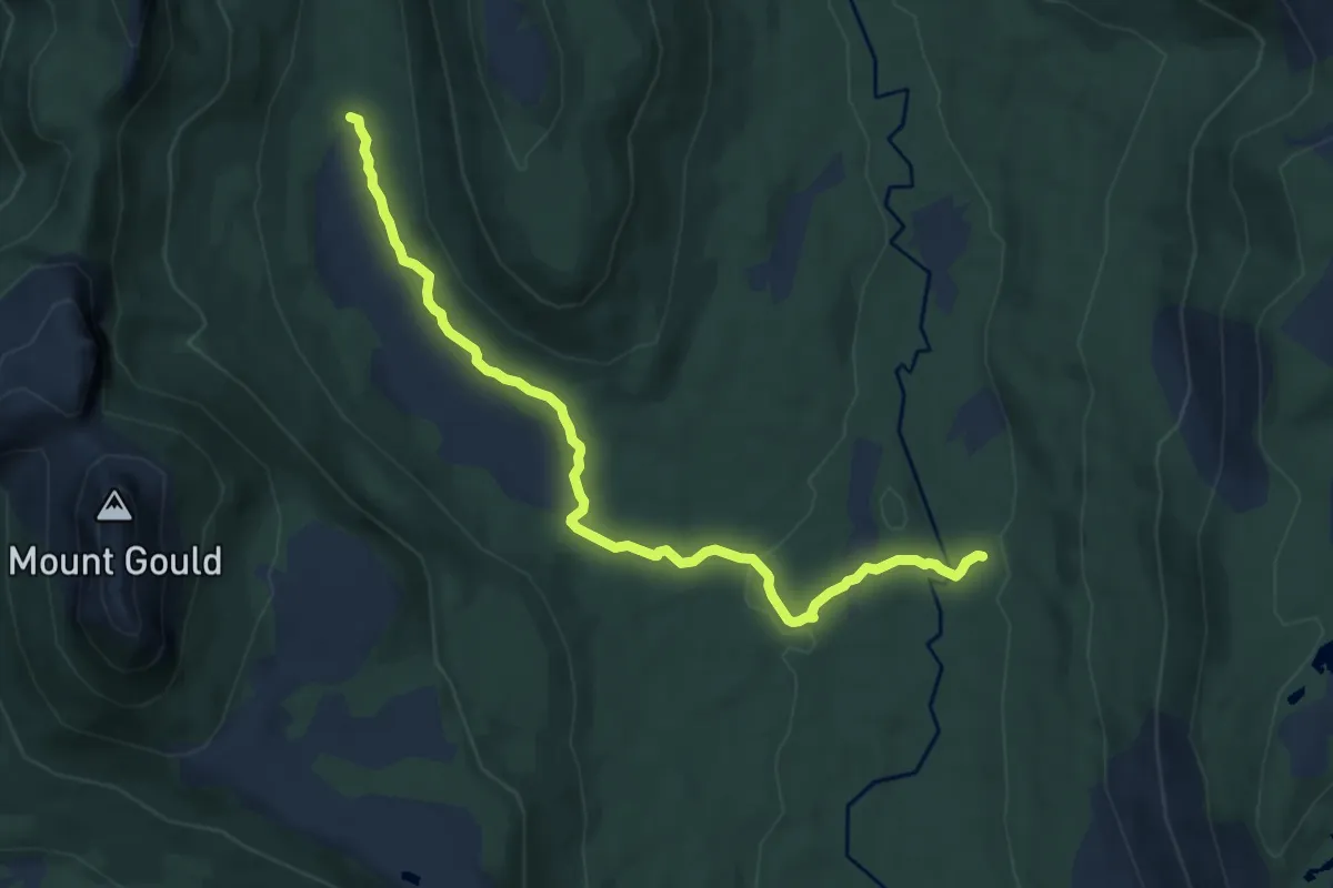
Medium · Cabin
Pine Valley Track
9.4 km · ↑ 177 m · 2 h 37 min
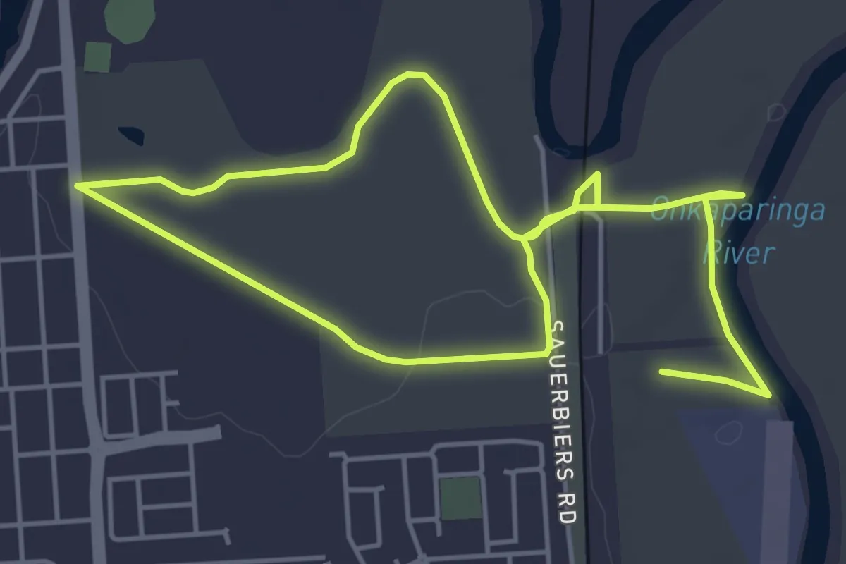
Medium · Trail
Pingle Farm Walk
9.7 km · ↑ 65 m · 2 h 26 min
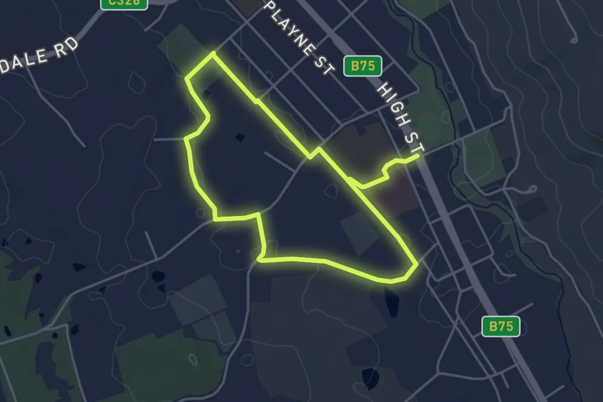
Easy · Trail
Pink Cliffs Loop Trail
4.2 km · ↑ 48 m · 1 h 10 min
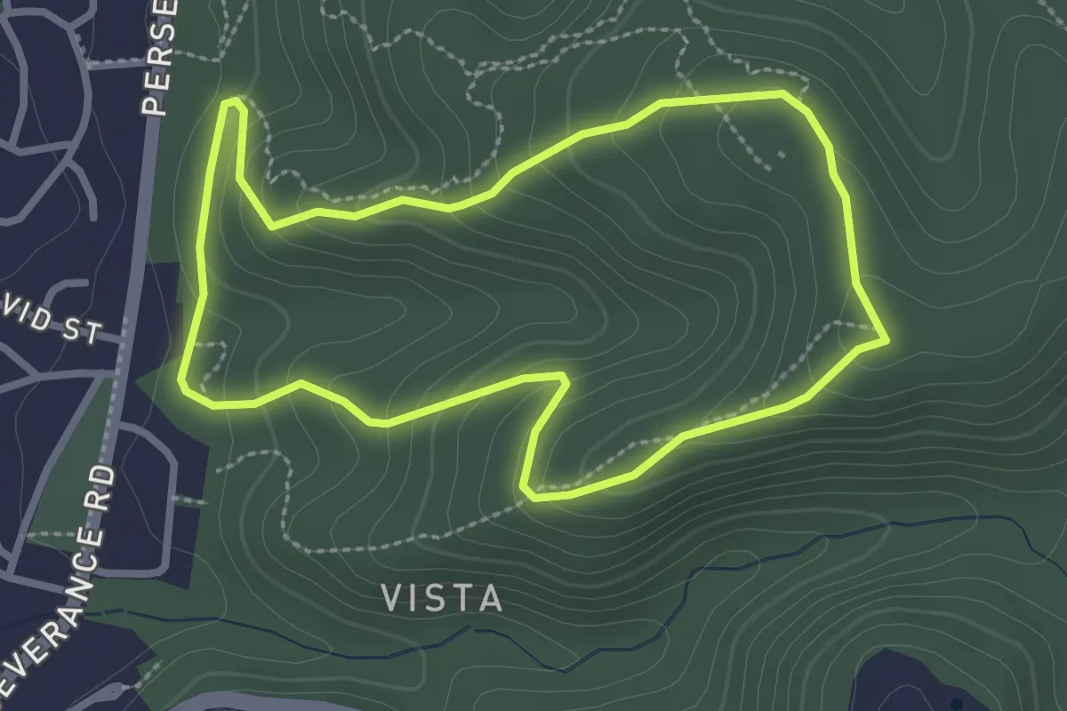
Easy · Trail
Pink Gum Loop
3.1 km · ↑ 162 m · 1 h 8 min
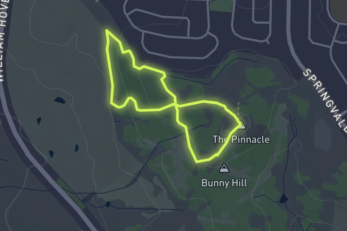
Easy · Summit
Pinnacle Nature Walk (Macrorhyncha Loop)
2.6 km · ↑ 65 m · 48 min
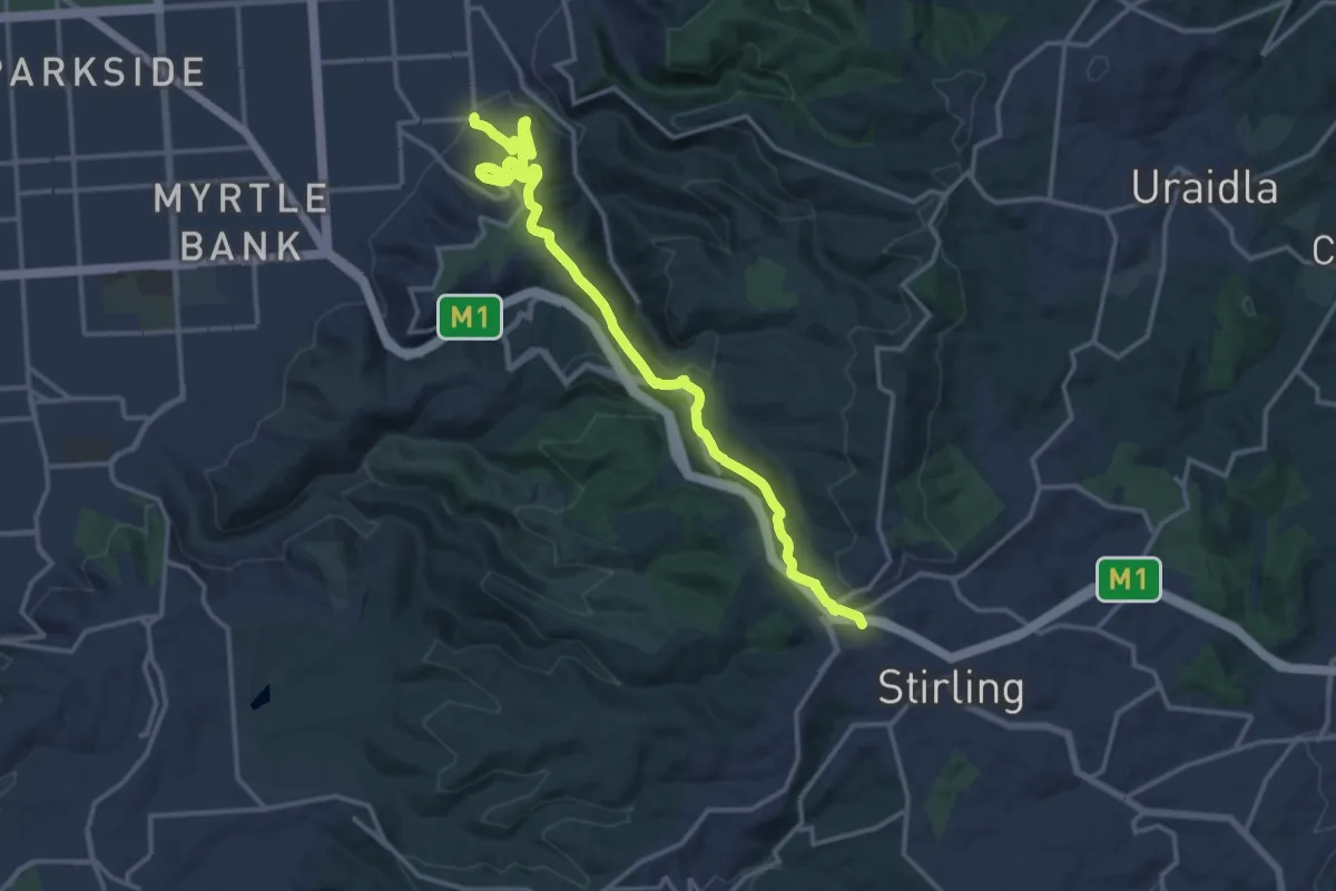
Demanding · Trail
Pioneer Womens Trail
19.7 km · ↑ 720 m · 6 h 13 min
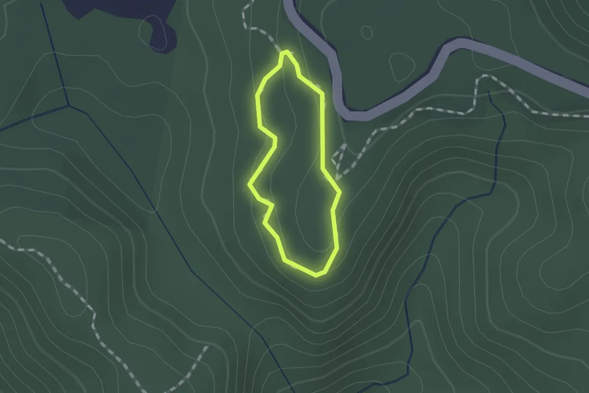
Easy · Trail
Pitta Circuit
1.0 km · ↑ 33 m · 20 min
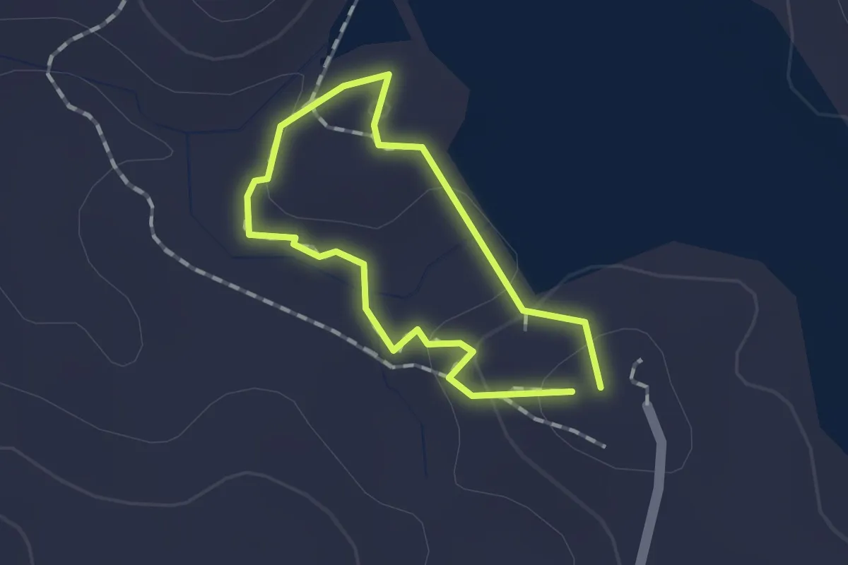
Easy · Trail
Platypus Walk
1.2 km · ↑ 46 m · 24 min
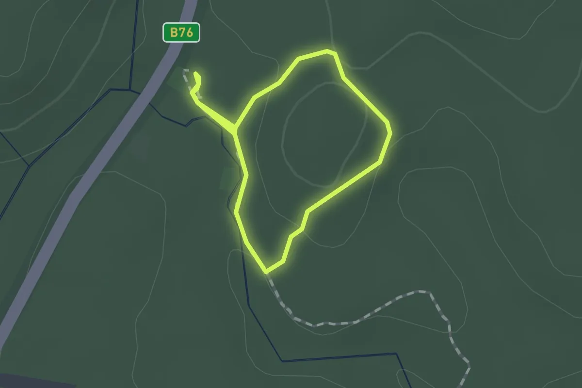
Easy · Trail
Platypus Walk
1.3 km · ↑ 22 m · 22 min
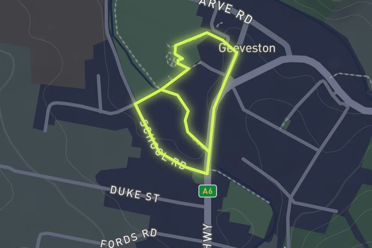
Easy · Trail
Platypus Walk
2.8 km · ↑ 10 m · 41 min
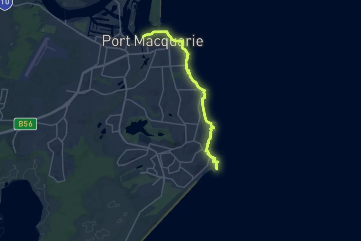
Medium · Trail
Port Macquarie Coastal Walk
16.8 km · ↑ 444 m · 4 h 56 min
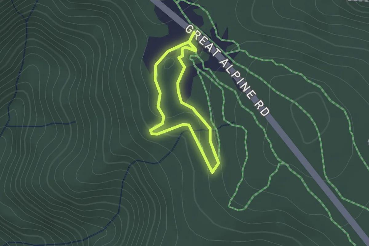
Easy · Trail
Possum Flat Loop
1.3 km · ↑ 29 m · 24 min
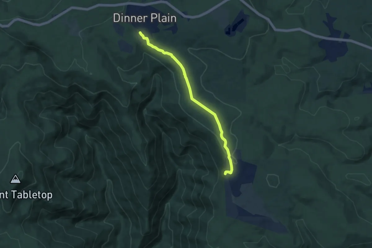
Easy · Trail
Precipice Plain Walk
8.0 km · ↑ 107 m · 2 h 7 min
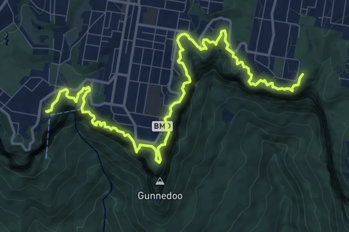
Demanding · Trail
Prince Henry Cliff Walk
14.4 km · ↑ 977 m · 5 h 31 min
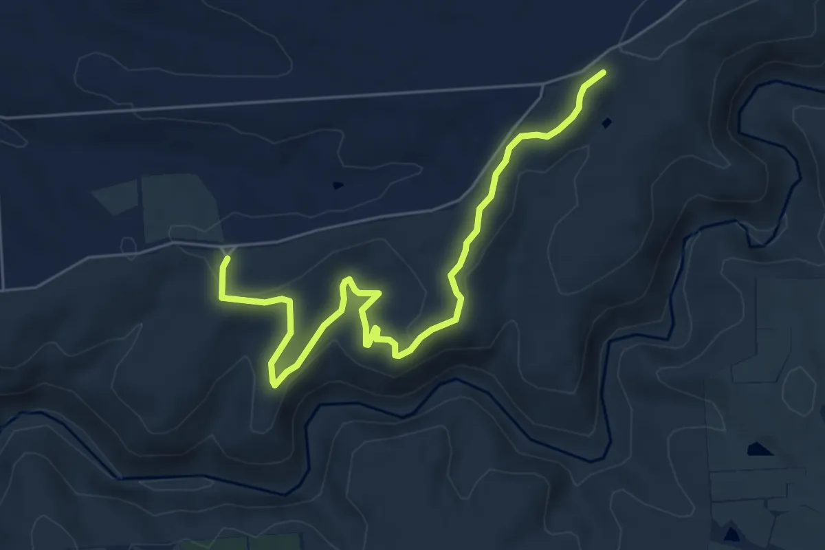
Easy · Trail
Punchbowl Link Trail
7.6 km · ↑ 180 m · 2 h 11 min
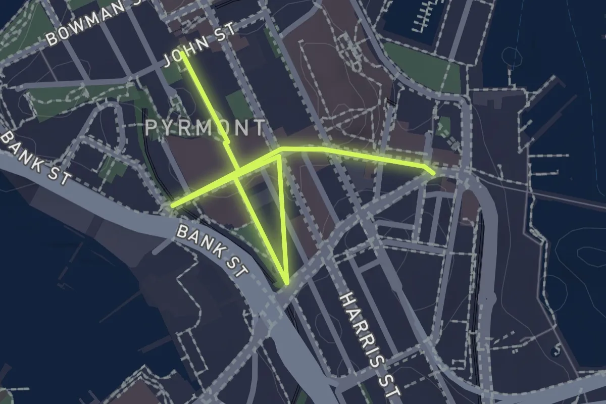
Easy · Trail
Pyrmont
3.1 km · ↑ 25 m · 47 min
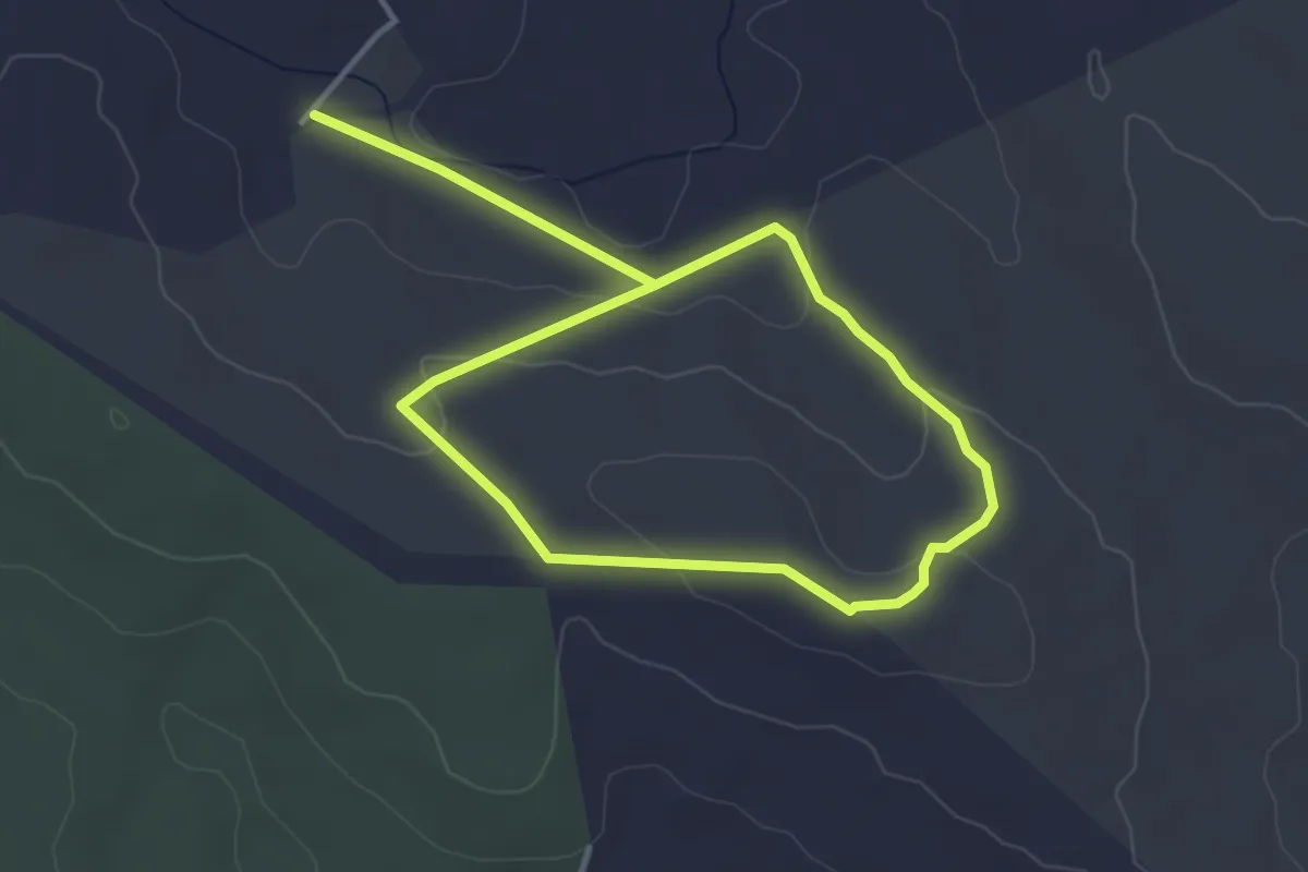
Easy · Trail
Quarry Hike
7.4 km · ↑ 124 m · 2 h 1 min
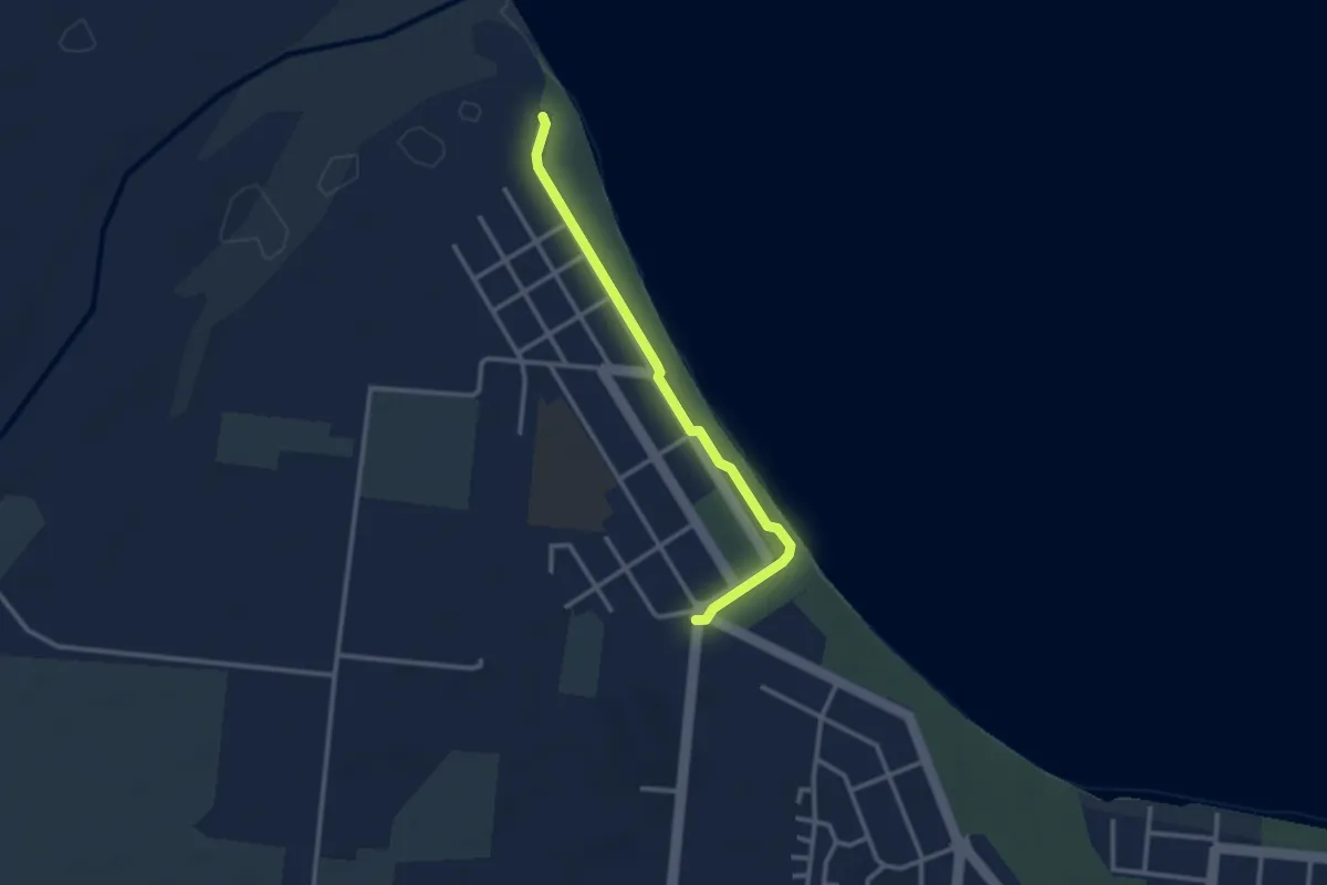
Easy · Trail
Queens Bay Beach Walk
3.7 km · ↑ 4 m · 53 min
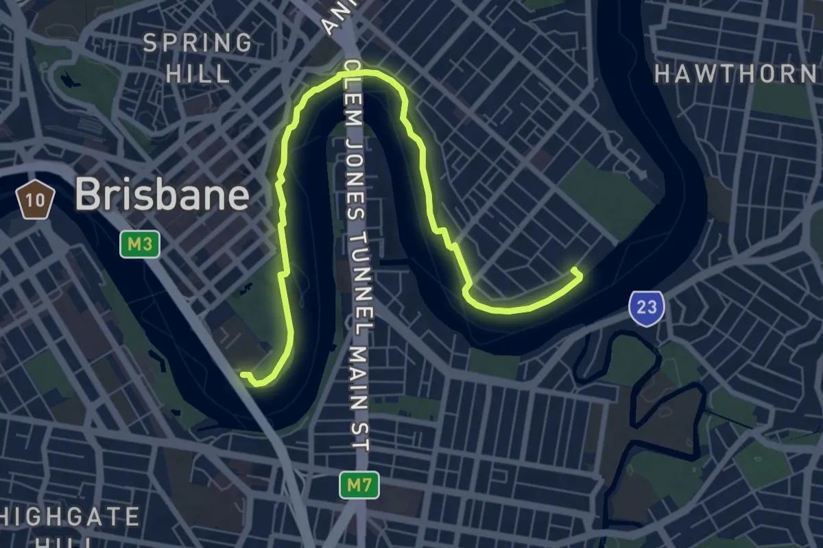
Medium · Trail
QUT to New Farm
10.1 km · ↑ 278 m · 3 h
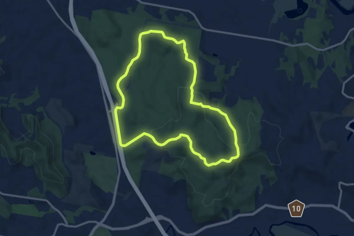
Medium · Trail
Radar Hill Loop
9.4 km · ↑ 294 m · 2 h 59 min
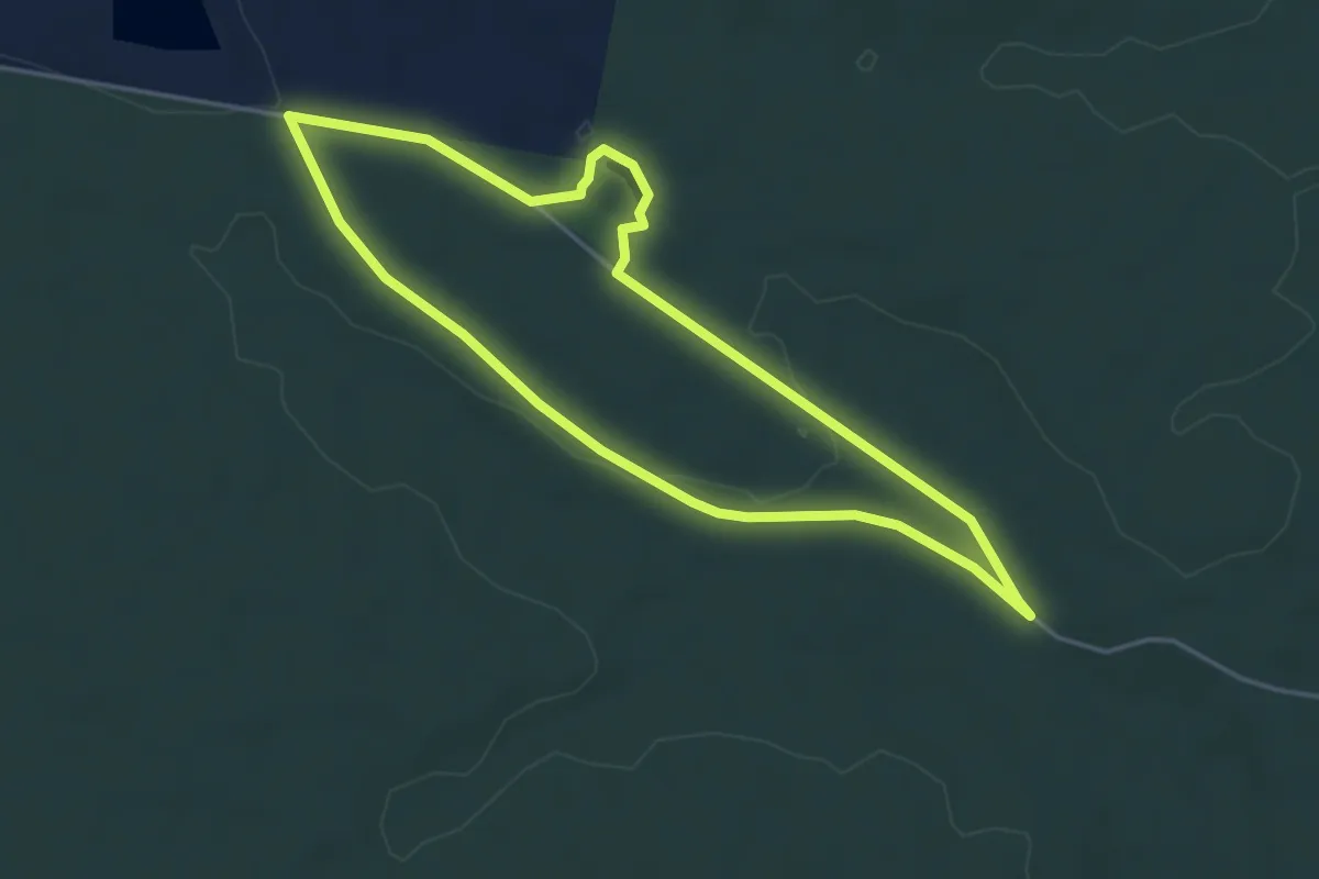
Easy · Trail
Railway Walk
4.7 km · ↑ 44 m · 1 h 17 min
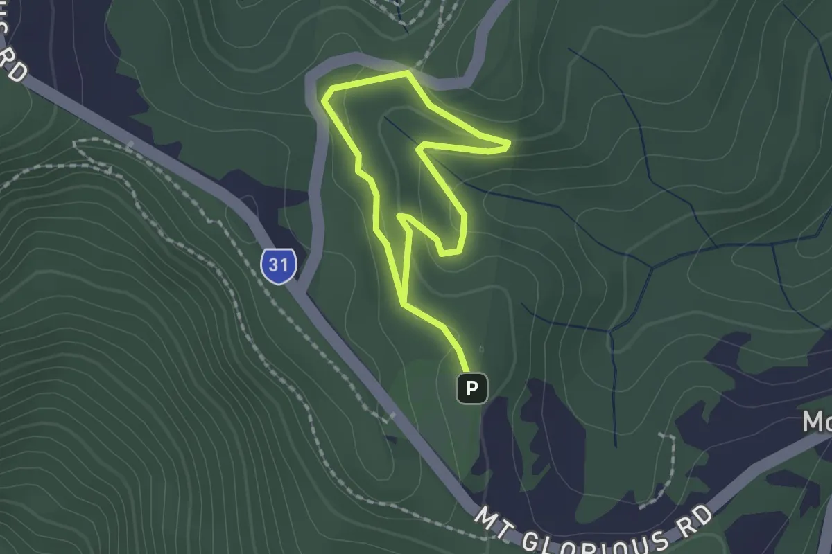
Easy · Trail
Rainforest Circuit
3.1 km · ↑ 75 m · 54 min
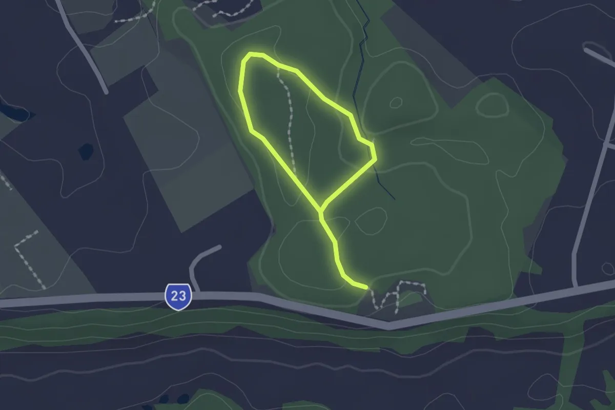
Easy · Trail
Rainforest Loop
2.8 km · ↑ 40 m · 45 min
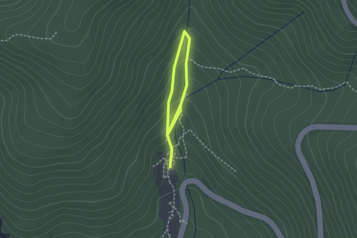
Easy · Trail
Ramblers Track Loop
1.2 km · ↑ 84 m · 28 min
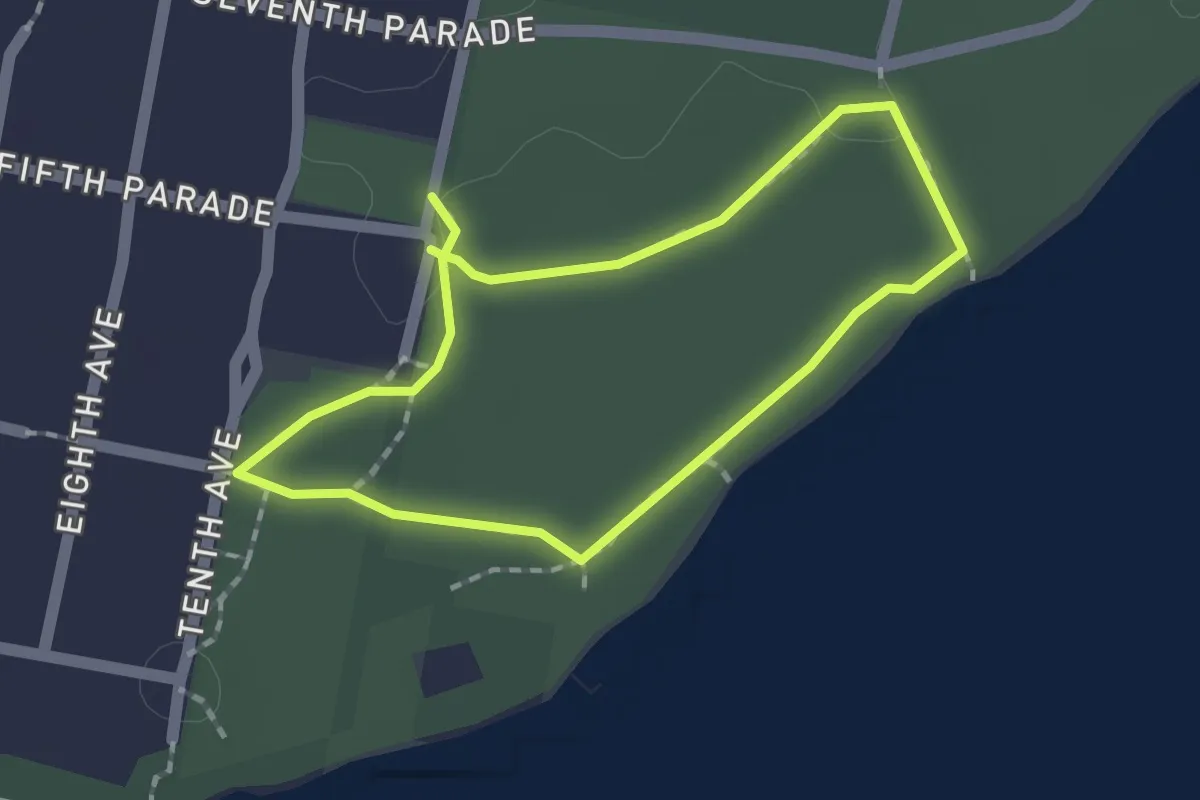
Easy · Trail
Raymond Nature Walk
1.7 km · ↑ 9 m · 27 min
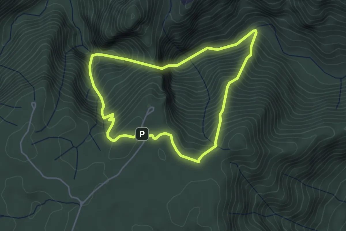
Demanding · Trail
Red Track
4.4 km · ↑ 584 m · 2 h 22 min
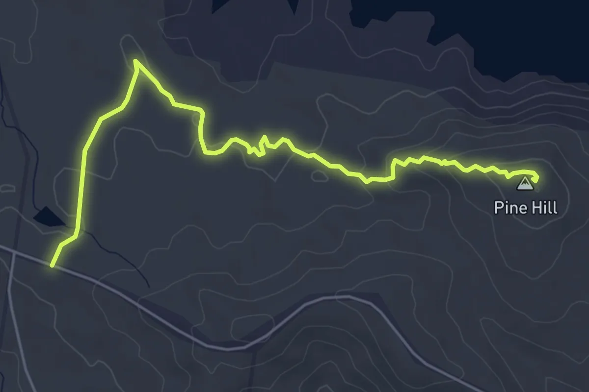
Easy · Summit
Red Trail
7.6 km · ↑ 166 m · 2 h 9 min
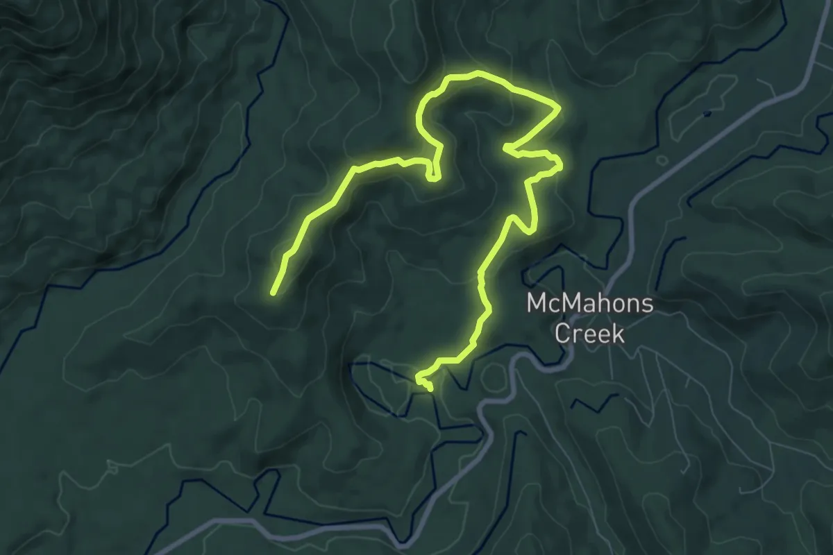
Medium · Trail
Reefton Goldfields Walk
12.3 km · ↑ 451 m · 3 h 53 min
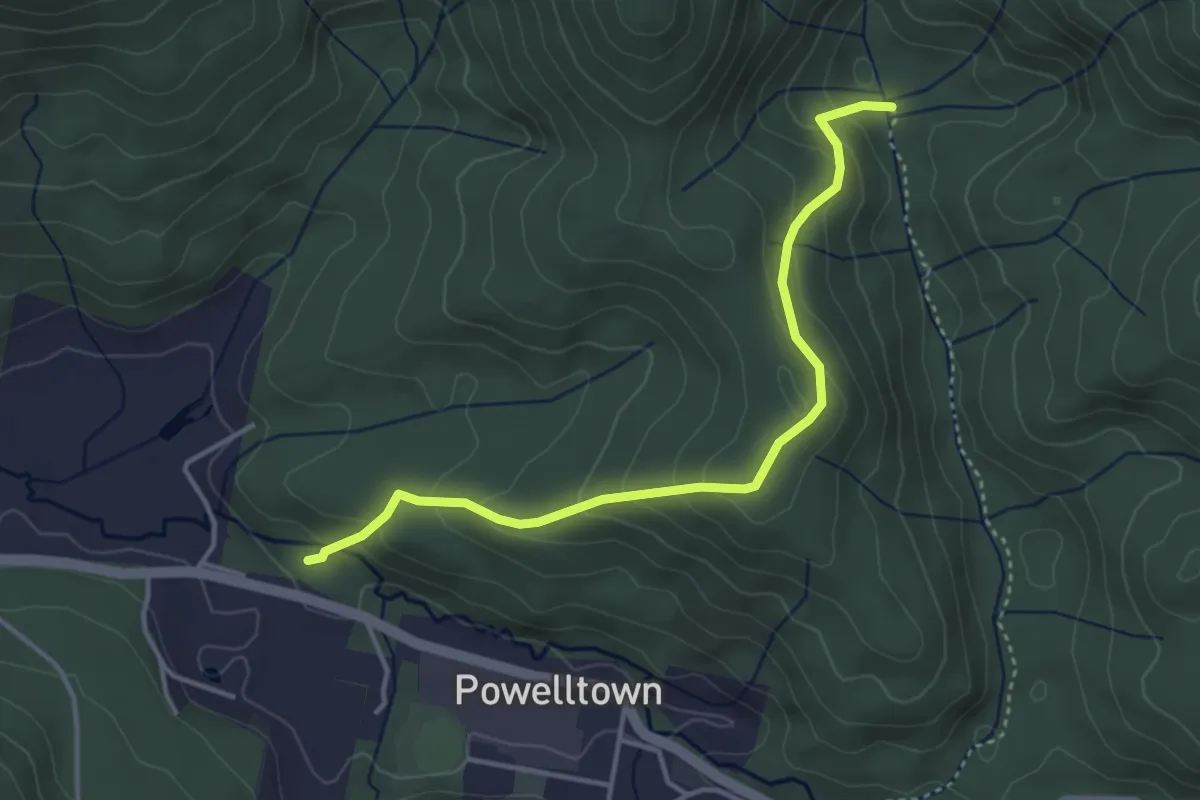
Easy · Trail
Reids Tramway Walk
4.4 km · ↑ 288 m · 1 h 40 min
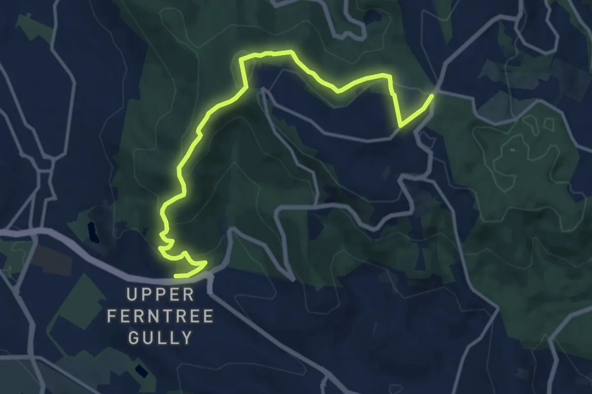
Medium · Trail
Resilience (ngurrak barring | RidgeWalk)
12.7 km · ↑ 620 m · 4 h 21 min
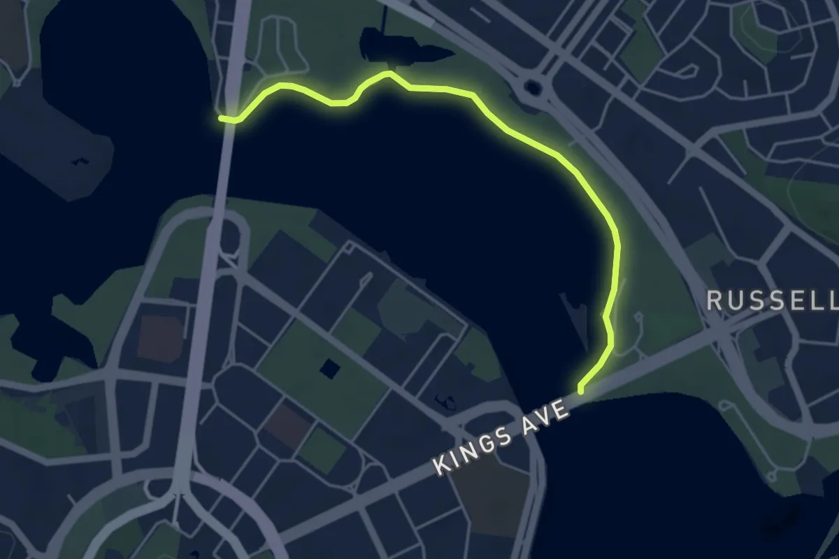
Easy · Trail
RG Menzies Walk
5.1 km · ↑ 149 m · 1 h 32 min
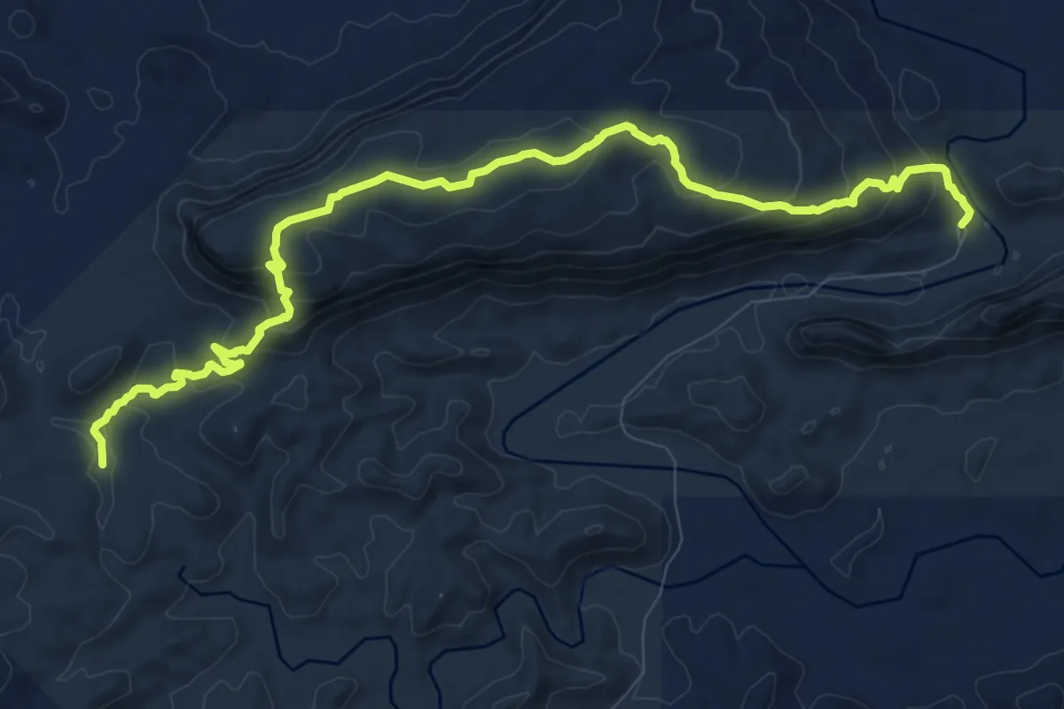
Medium · Trail
Ridgetop Trail
15.4 km · ↑ 646 m · 5 h 3 min
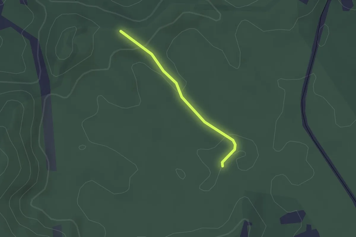
Easy · Trail
Ridge track
2.1 km · ↑ 55 m · 36 min
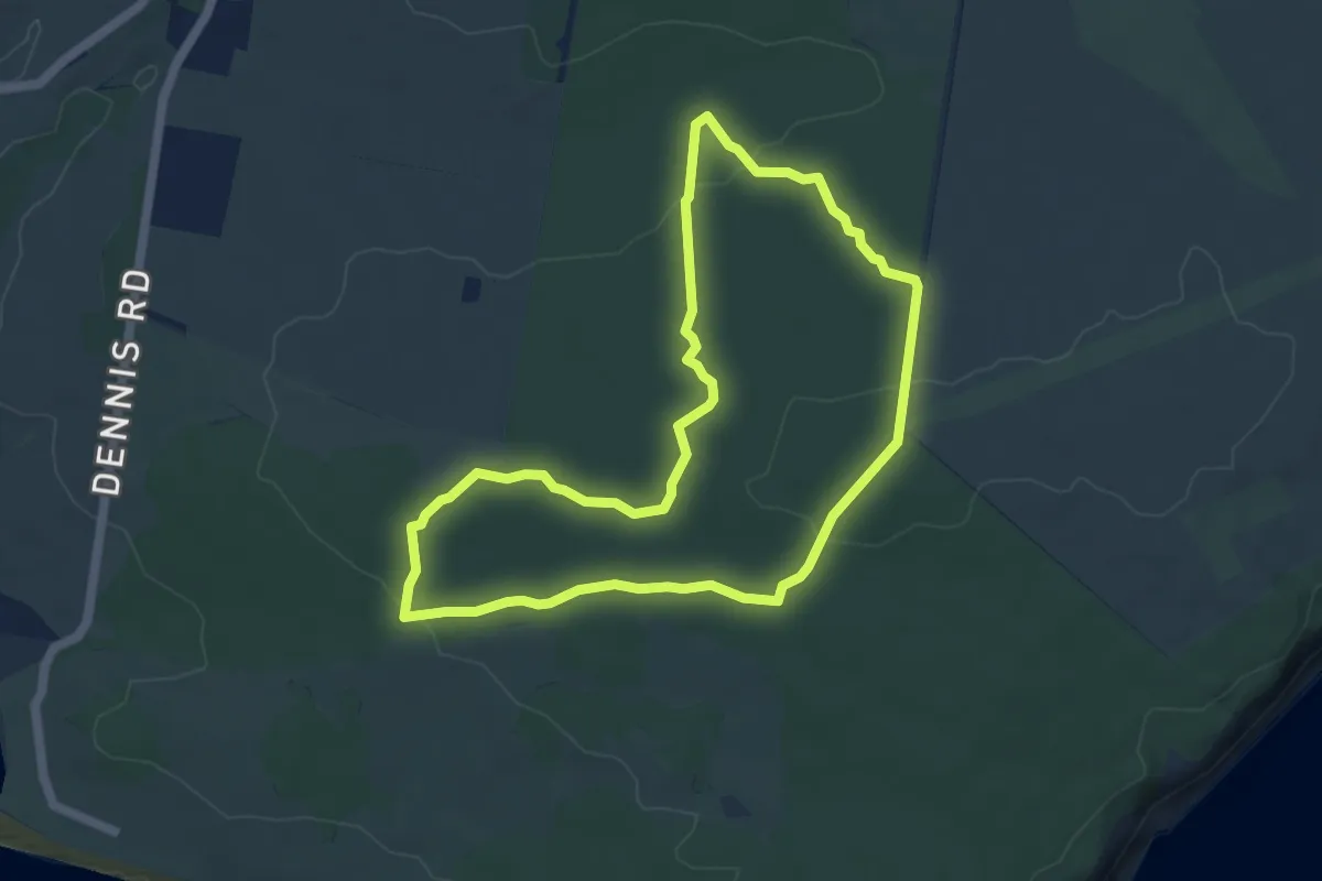
Easy · Trail
Ridgeway Hill Lookout Hike
5.9 km · ↑ 107 m · 1 h 43 min
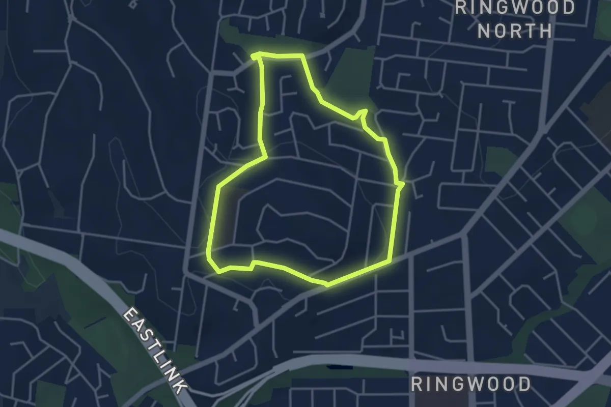
Easy · Trail
Ringwood Heights Walking Route
3.8 km · ↑ 58 m · 1 h 4 min
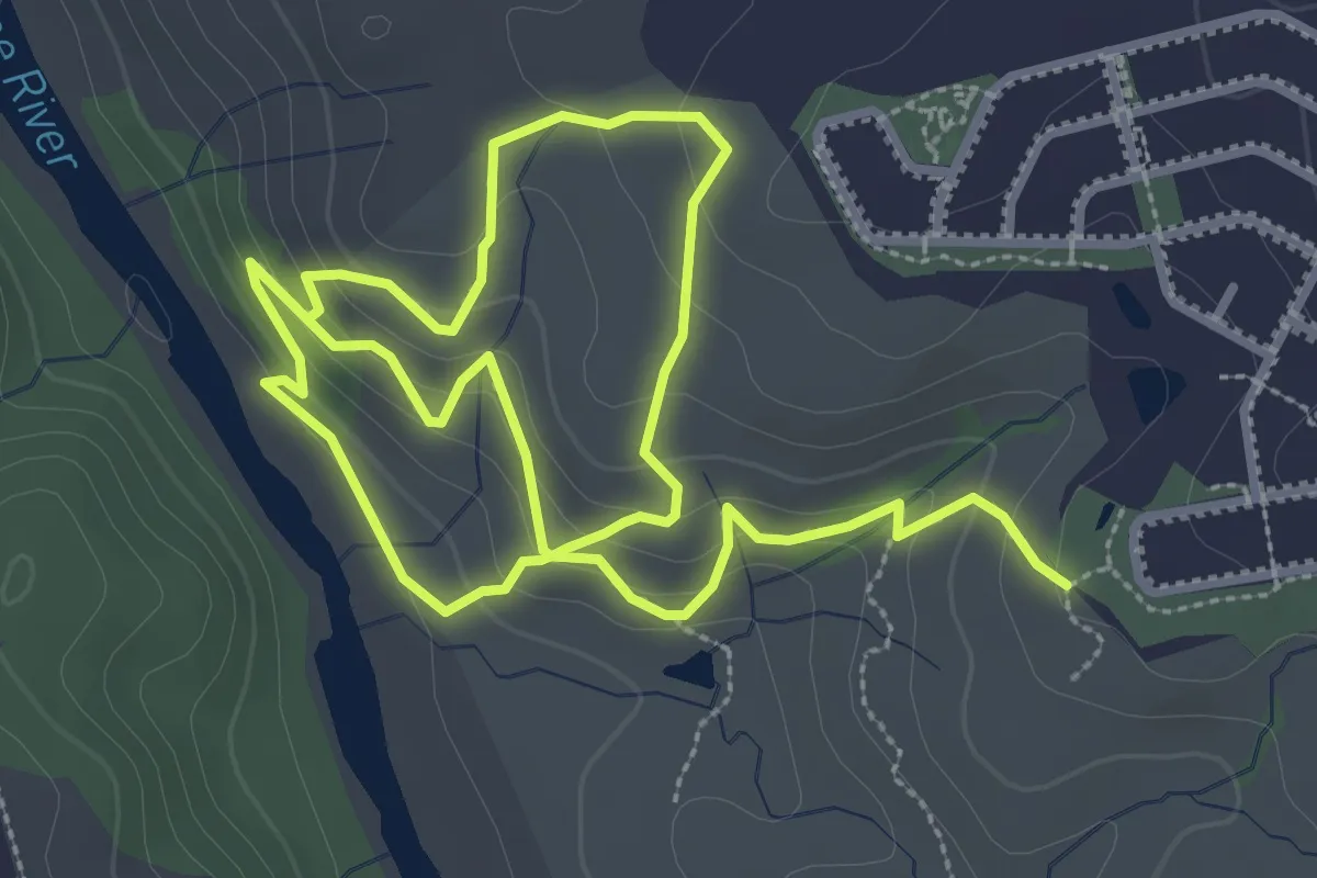
Easy · Trail
River Descent Tracks
3.5 km · ↑ 128 m · 1 h 10 min
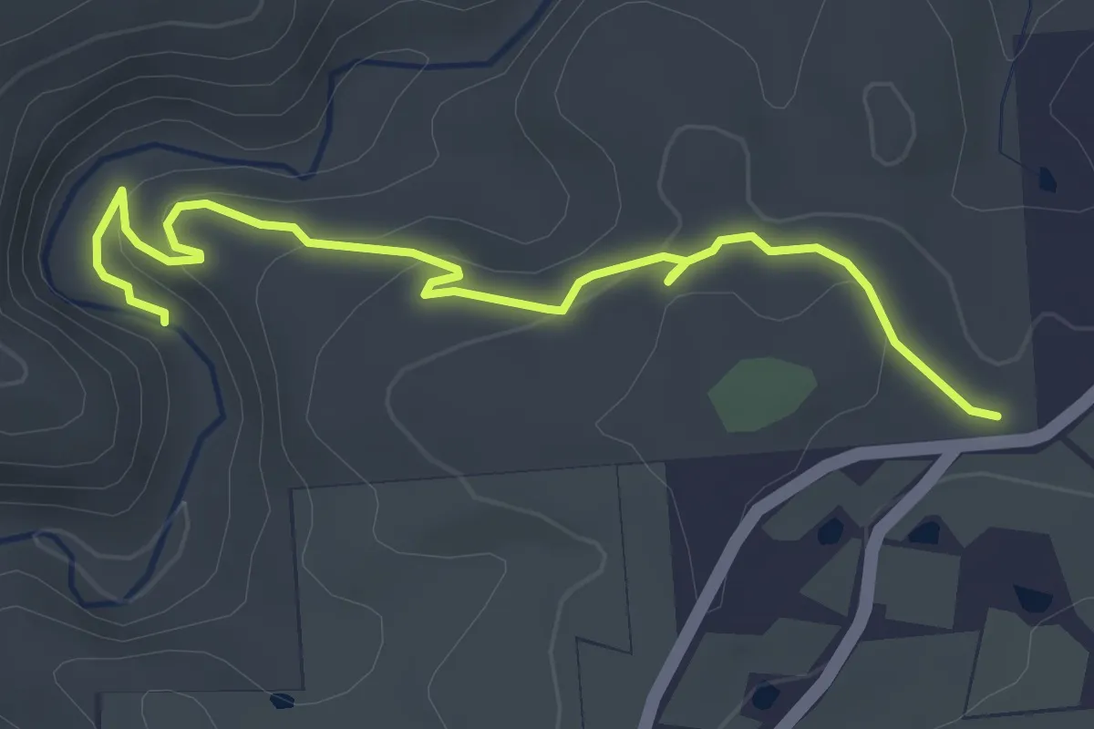
Easy · Trail
River Hke
4.5 km · ↑ 159 m · 1 h 24 min
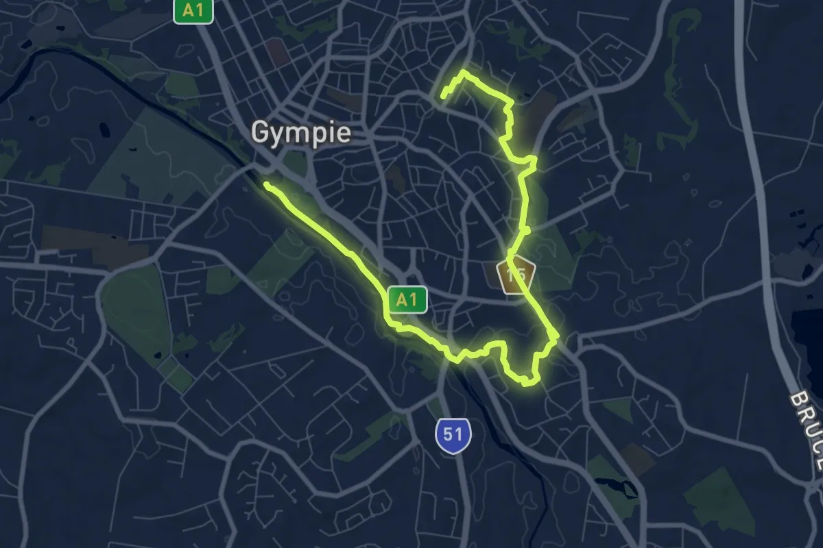
Medium · Trail
River to Rail Trail
13.9 km · ↑ 168 m · 3 h 39 min
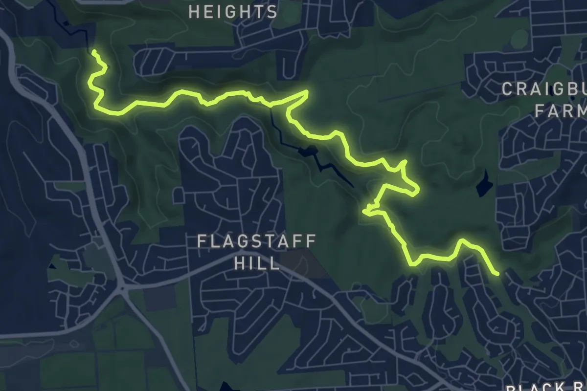
Demanding · Trail
River Trail
13.3 km · ↑ 337 m · 3 h 52 min
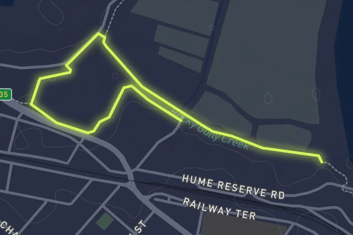
Easy · Trail
Rocky Gully Wetlands Walk
4.7 km · ↑ 38 m · 1 h 11 min
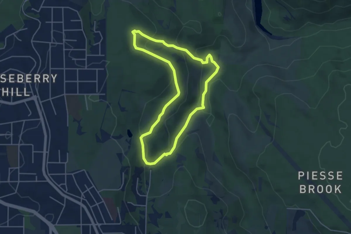
Easy · Trail
Rocky Pool Trail
4.7 km · ↑ 212 m · 1 h 38 min