Trails in Australia
551 hiking trails, each with its route, climb, walking time and grade.
All trails, page 9 of 12
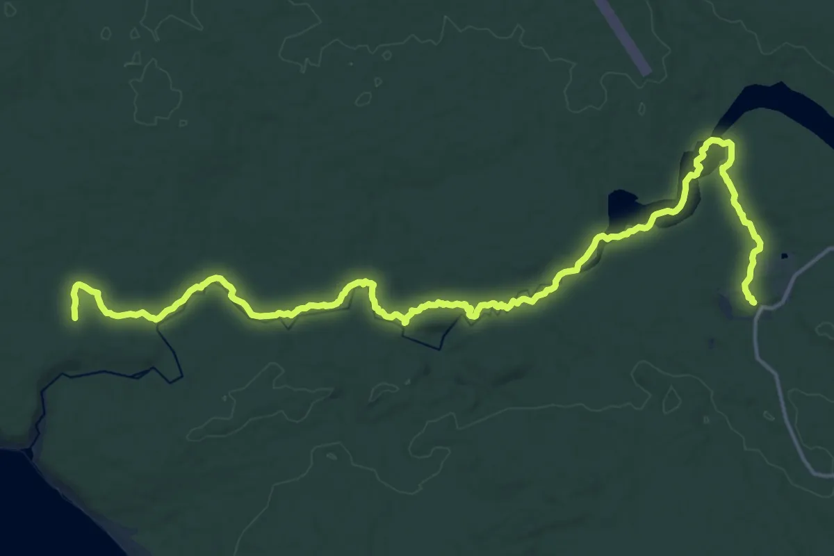
Demanding · Trail
Rocky River Hike
23.4 km · ↑ 322 m · 6 h 13 min
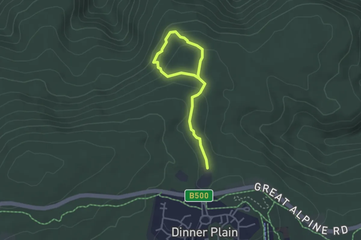
Easy · Trail
Room with a View
2.0 km · ↑ 43 m · 36 min
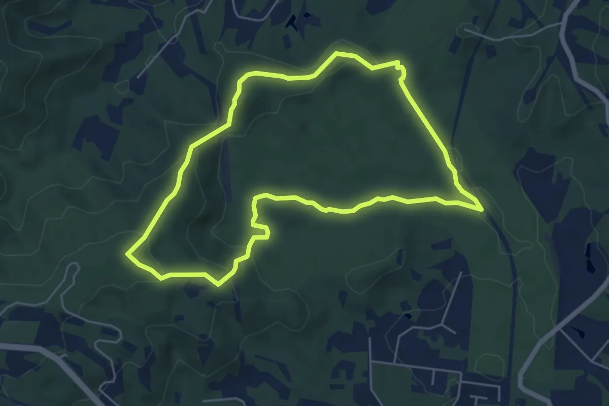
Easy · Trail
Roses circuit
6.3 km · ↑ 248 m · 2 h 7 min
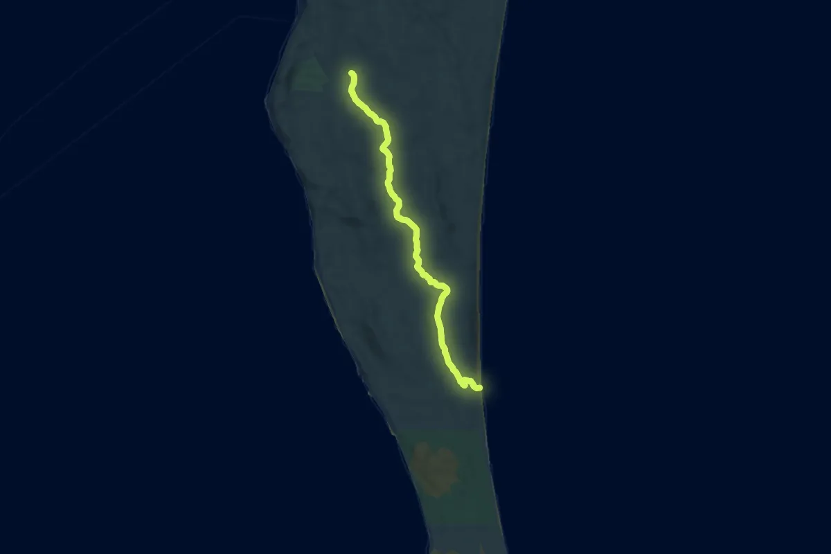
Demanding · Trail
Rous Battery Walking Track
20.1 km · ↑ 236 m · 5 h 15 min
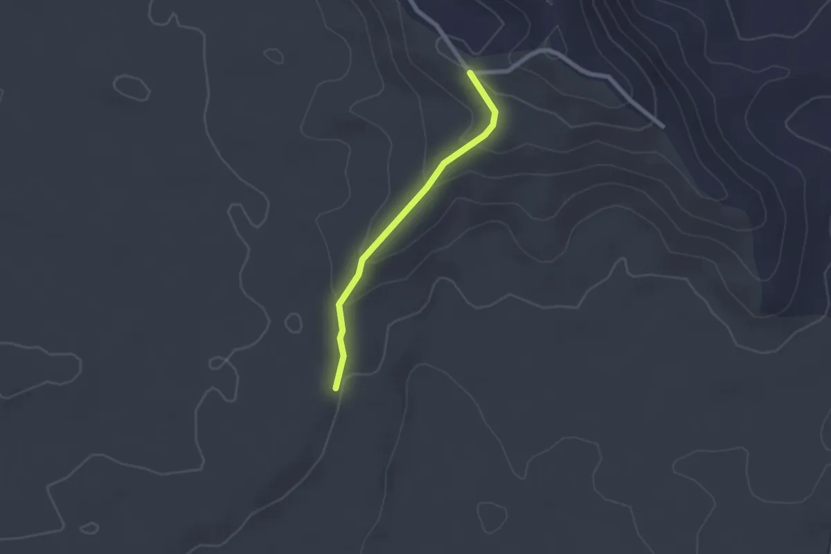
Easy · Trail
Running trail access route to Mango Tree trailhead
2.3 km · ↑ 95 m · 45 min
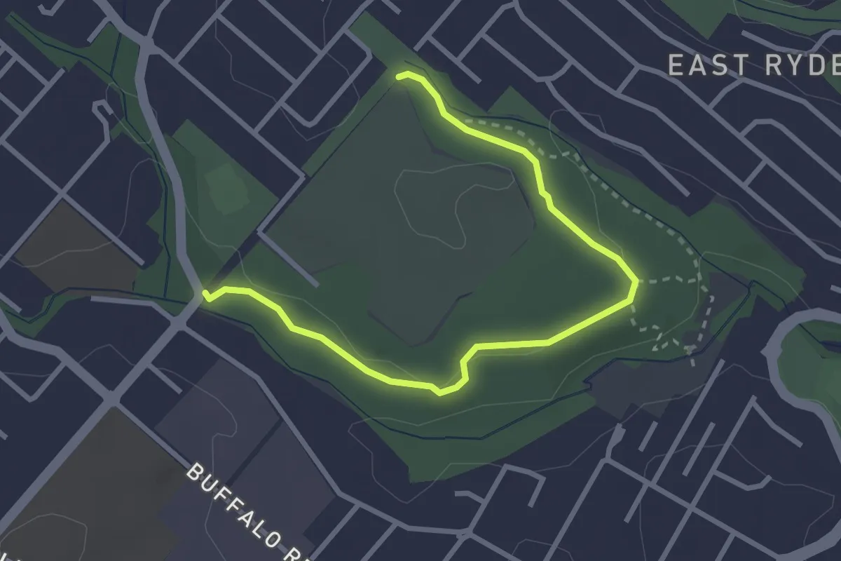
Easy · Trail
Sand Track
3.8 km · ↑ 61 m · 1 h 2 min
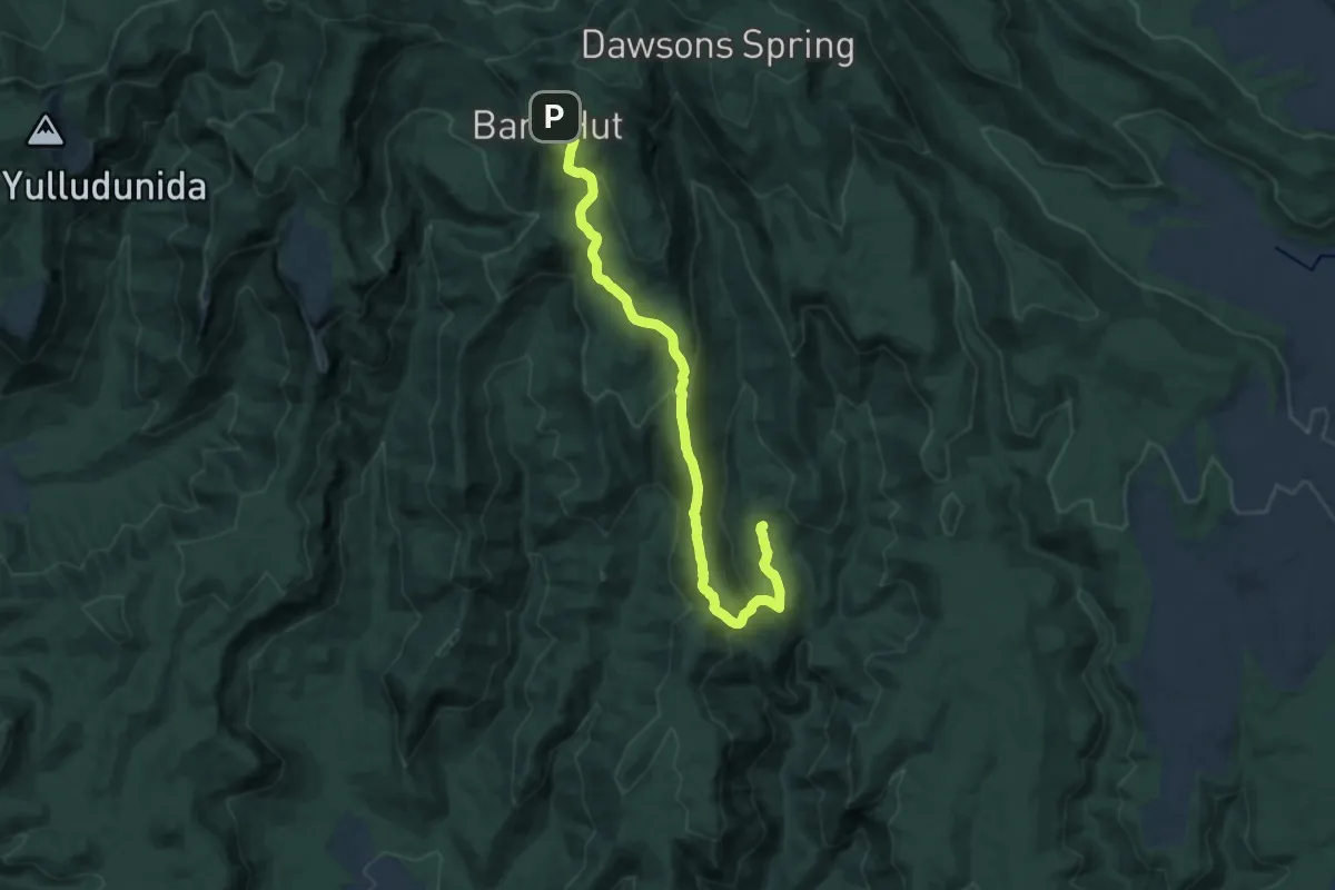
Demanding · Trail
Scutts Hut Track
18.9 km · ↑ 638 m · 5 h 51 min
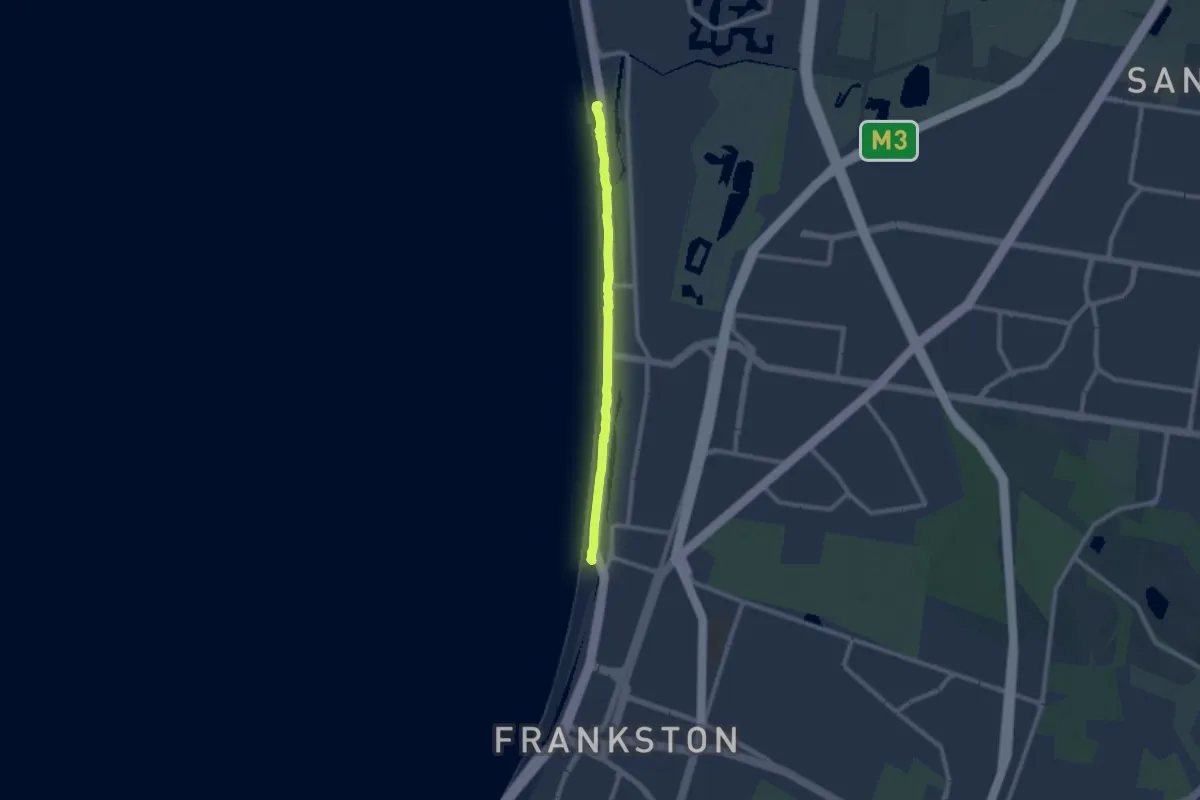
Medium · Trail
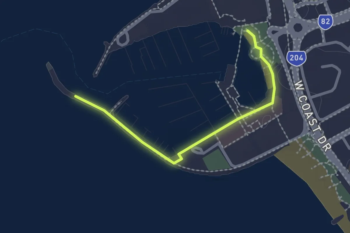
Seaford Foreshore Walking Track
9.6 km · ↑ 0 m · 2 h 16 min
Easy · Trail
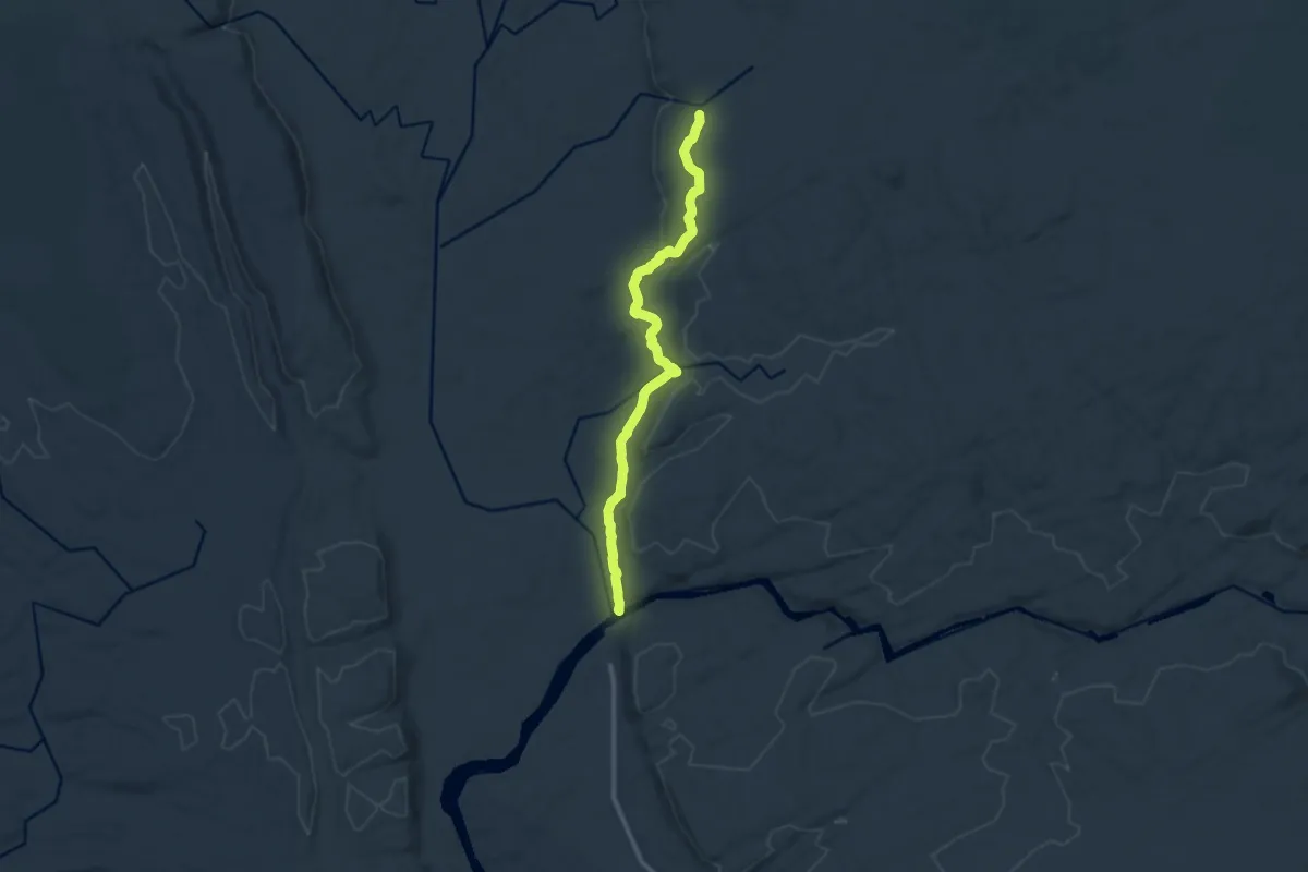
Sealife Trail
2.6 km · ↑ 15 m · 39 min
Medium · Trail
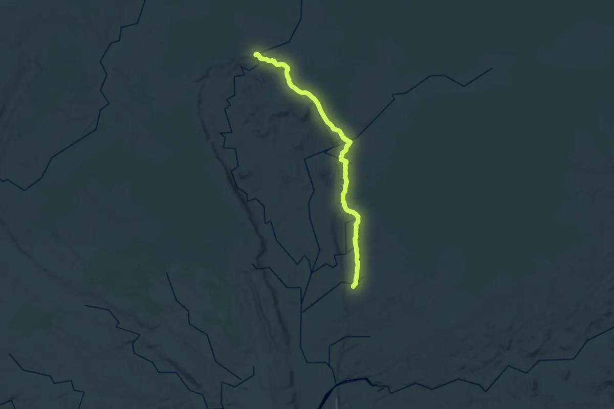
section 1 Jatbula Trail
16.0 km · ↑ 272 m · 4 h 22 min
Demanding · Trail
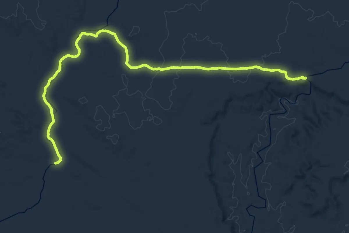
section 2 Jatbula Trail
20.5 km · ↑ 220 m · 5 h 37 min
Medium · Trail
section 3 Jatbula Trail
16.8 km · ↑ 113 m · 4 h 26 min
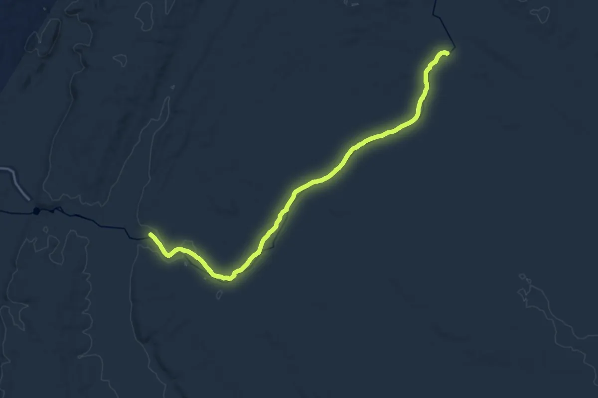
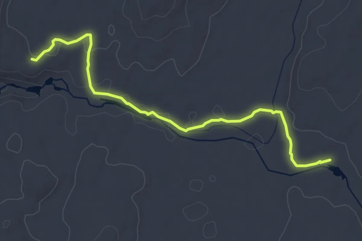
Demanding · Trail
section 4 Jatbula Trail
21.7 km · ↑ 62 m · 5 h 15 min
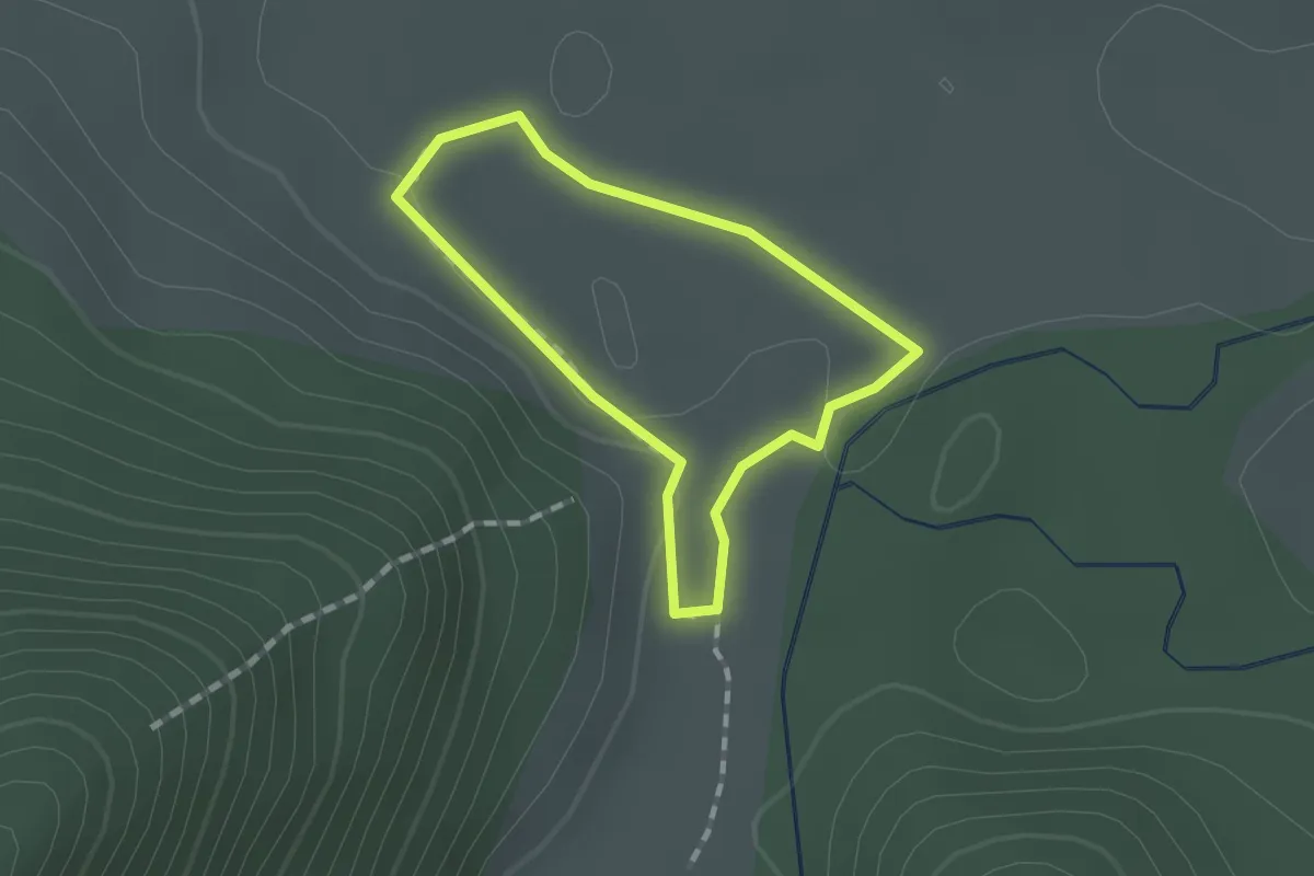
Easy · Trail
section 5 Jatbula Trail
7.1 km · ↑ 67 m · 1 h 49 min
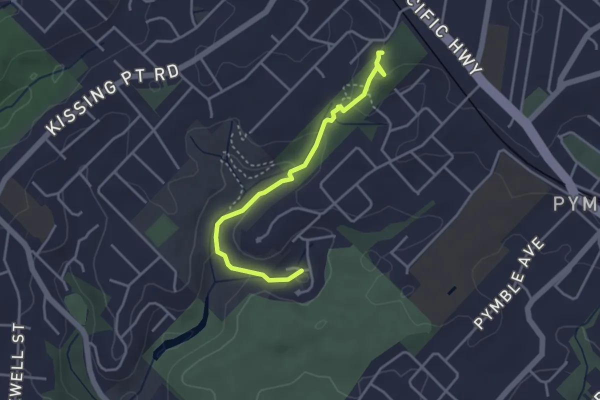
Easy · Trail
Self guided walk
1.2 km · ↑ 17 m · 21 min
Easy · Trail
Sheldon Forest Track
3.9 km · ↑ 135 m · 1 h 12 min
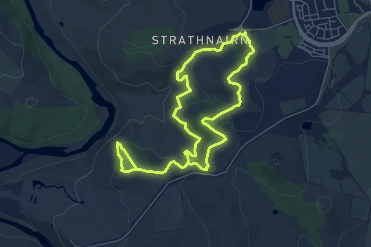
Easy · Trail
Shepherds Lookout Loop
5.7 km · ↑ 158 m · 1 h 47 min
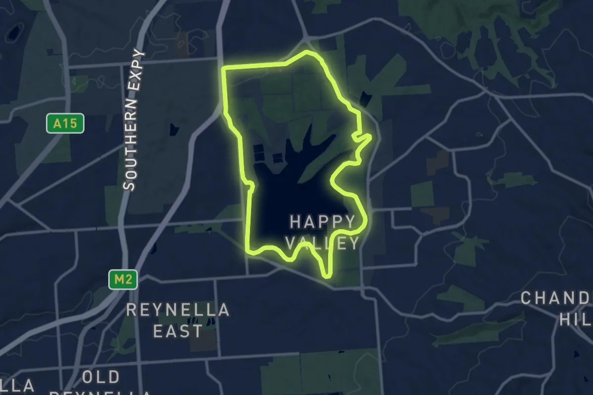
Medium · Trail
Shoreline Loop
10.7 km · ↑ 80 m · 2 h 50 min
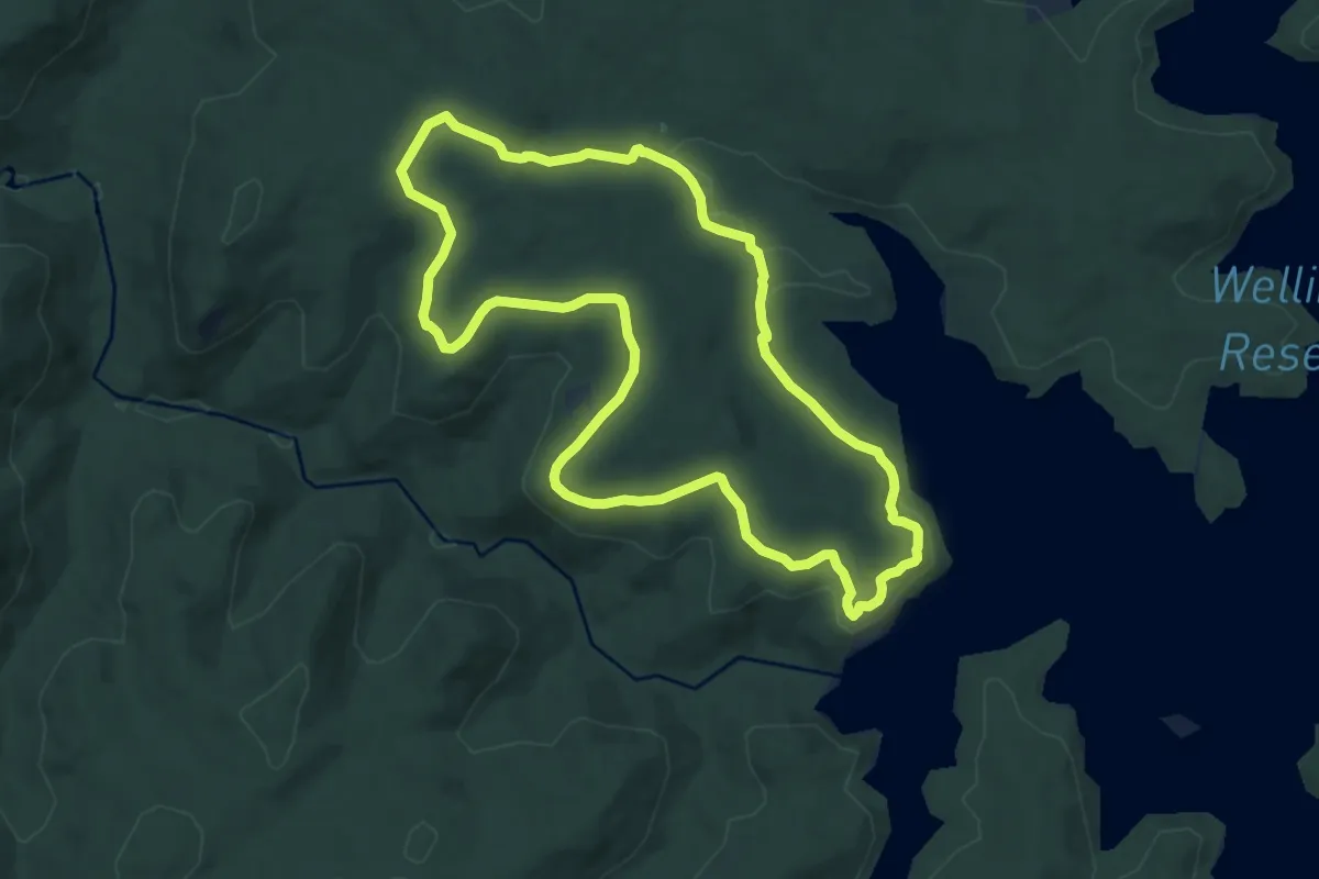
Medium · Trail
Sika Trail
10.4 km · ↑ 191 m · 3 h
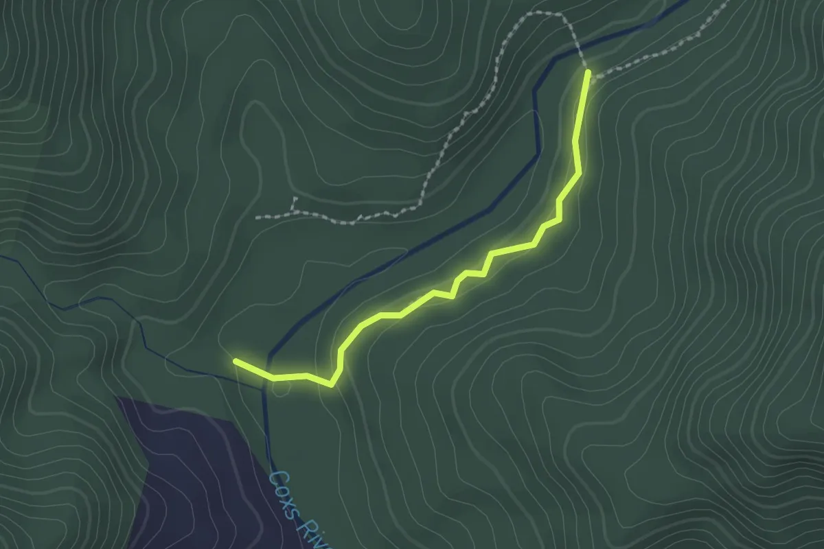
Easy · Trail
Six Foot Track alternate path
2.2 km · ↑ 87 m · 42 min
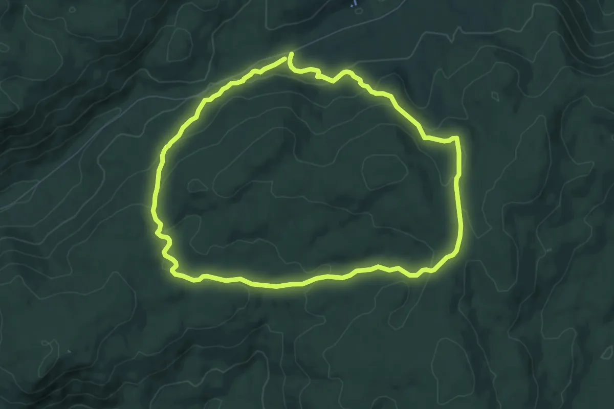
Medium · Trail
Smokers Flat Loop
8.7 km · ↑ 245 m · 2 h 43 min
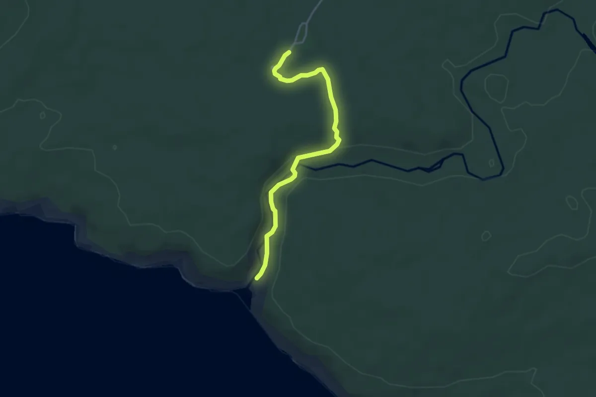
Easy · Trail
Snake Lagoon Hike
4.2 km · ↑ 88 m · 1 h 11 min
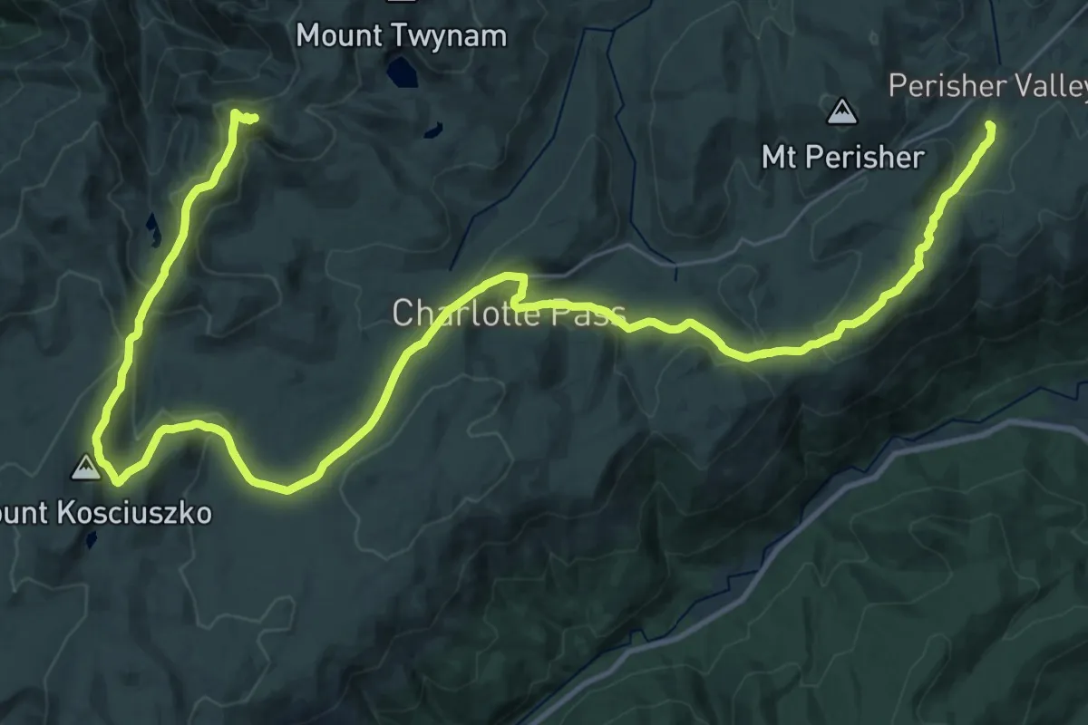
Demanding · Summit
Snowies Alpine Walk
49.1 km · ↑ 1294 m · 14 h 23 min
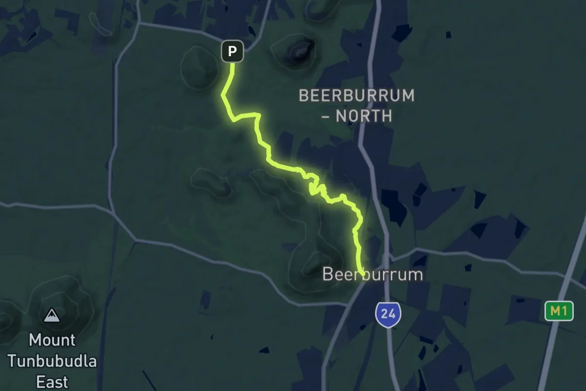
Medium · Trail
Soldier Settlers trail
11.4 km · ↑ 169 m · 3 h 3 min
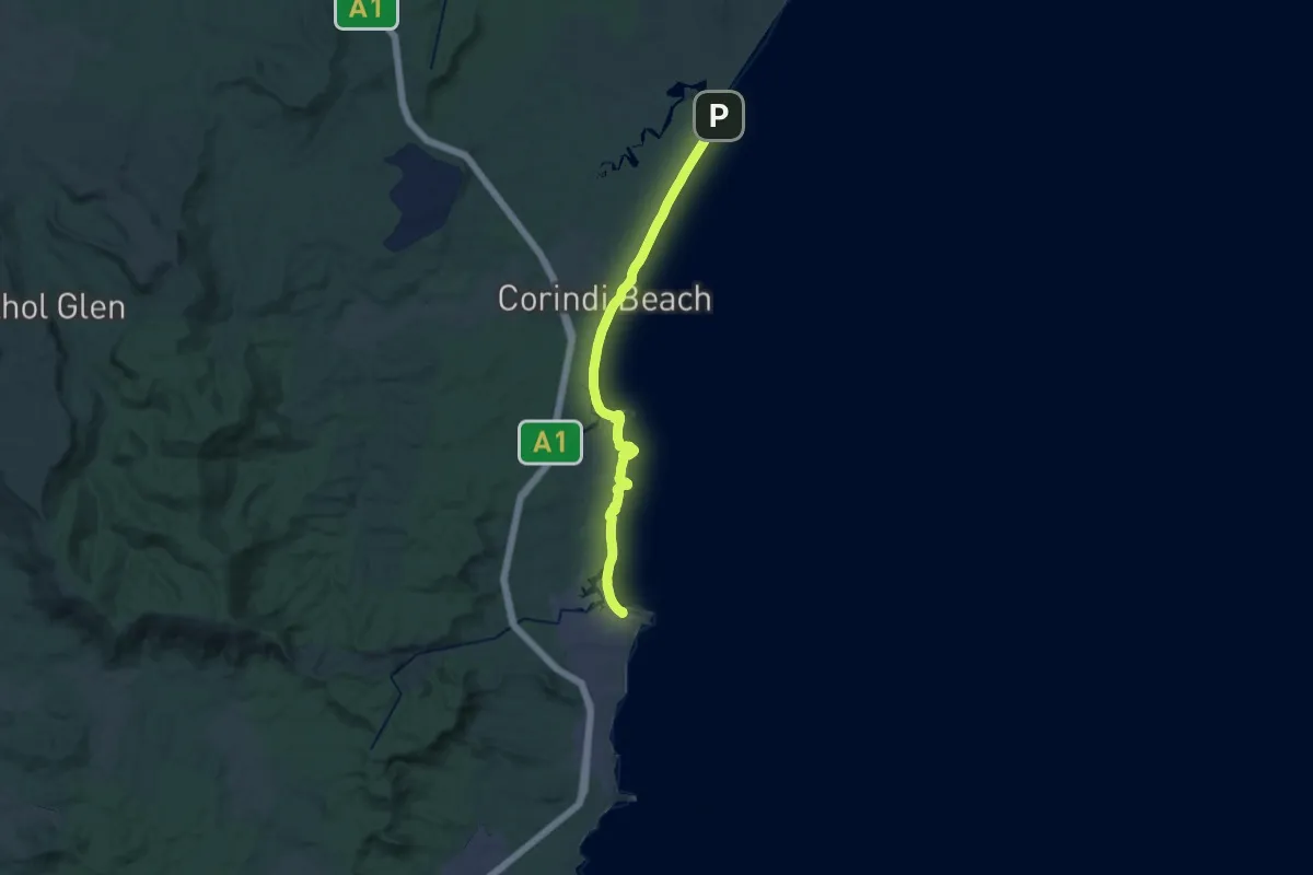
Medium · Trail
Solitary Islands Coastal Walk
17.0 km · ↑ 144 m · 4 h 34 min
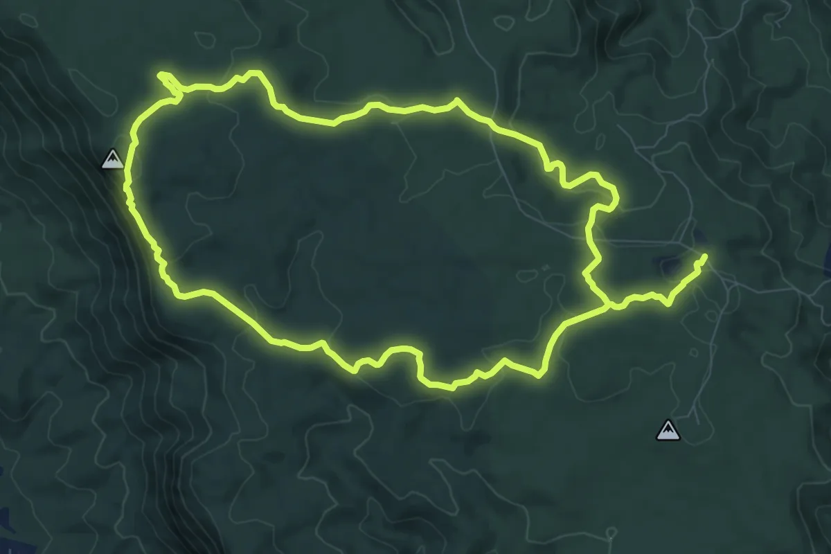
Demanding · Trail
Somerset Trail
23.3 km · ↑ 614 m · 6 h 51 min
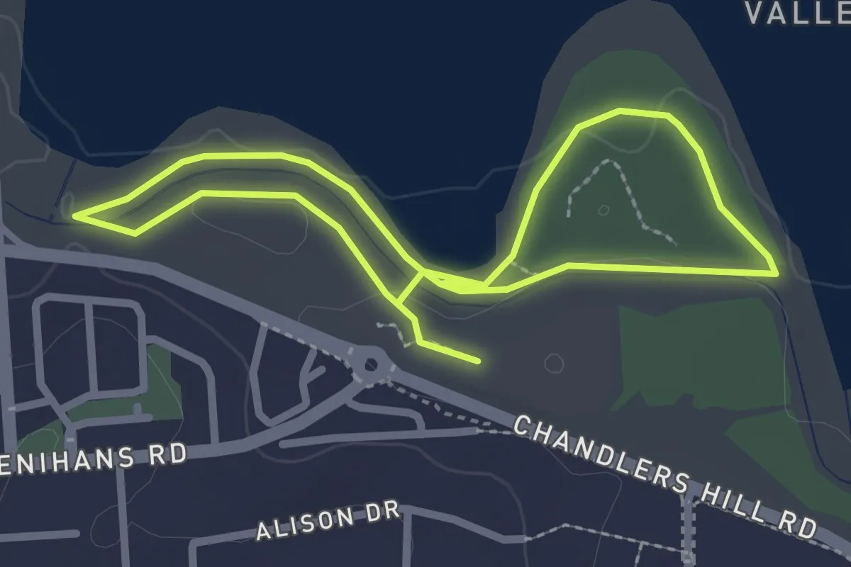
Easy · Trail
Southern Loop
2.6 km · ↑ 24 m · 42 min
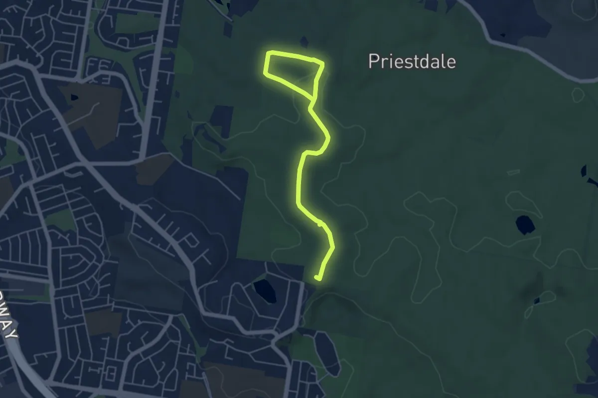
Easy · Trail
Spotted Gum Circuit
7.0 km · ↑ 110 m · 1 h 53 min
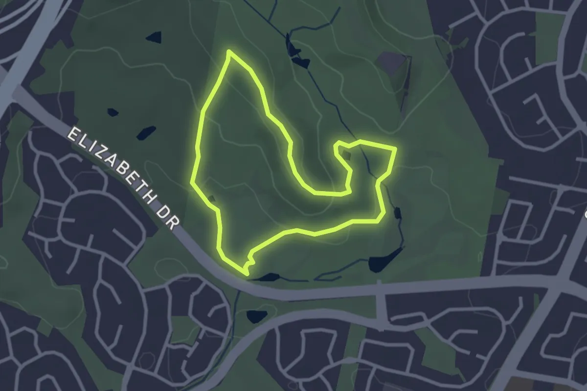
Easy · Trail
Spotted Gums Loop
2.9 km · ↑ 81 m · 55 min
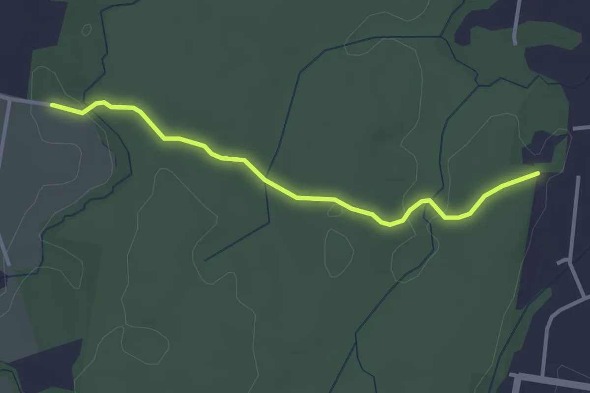
Easy · Trail
Spotted Gum Walking Trail
3.5 km · ↑ 62 m · 58 min
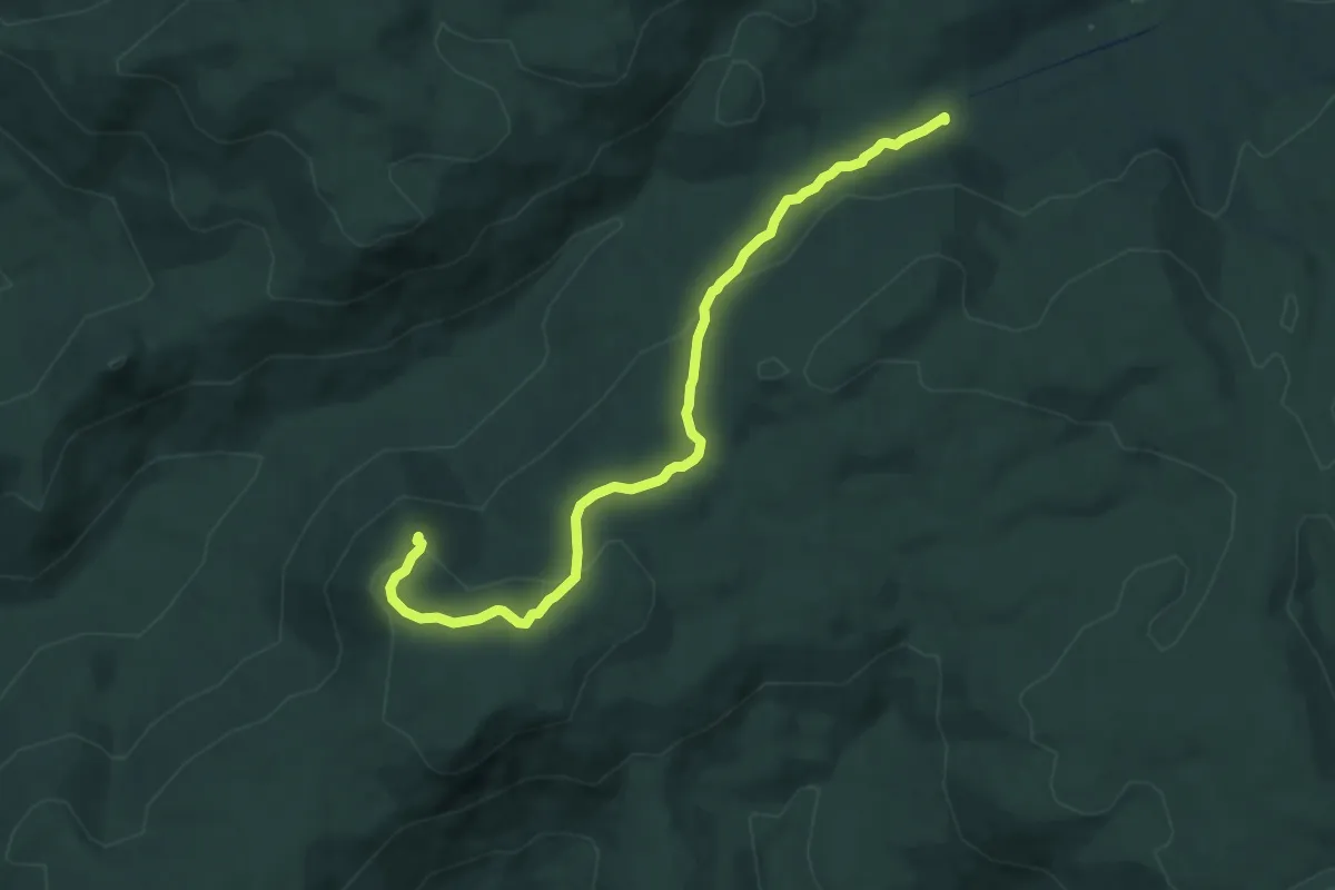
Medium · Trail
Square Rock Lookout
9.3 km · ↑ 278 m · 2 h 48 min
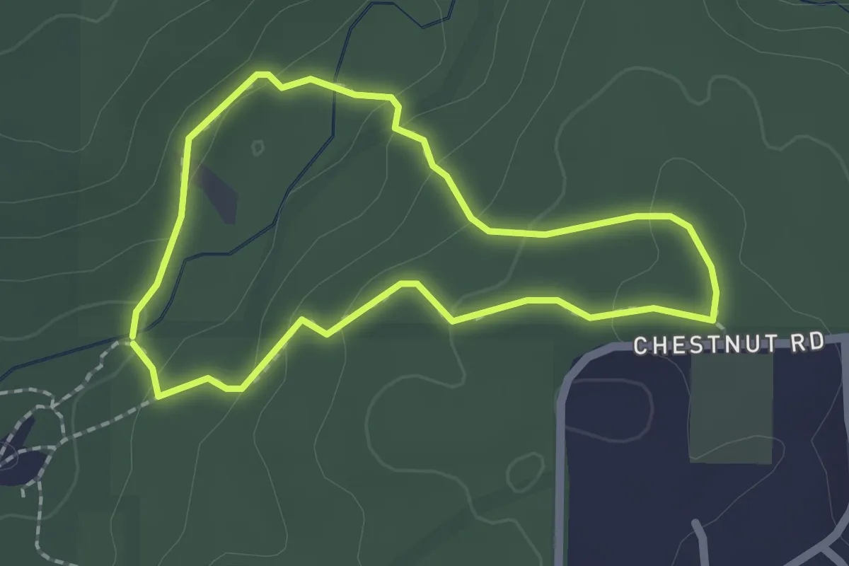
Easy · Trail
Stacey's Loop
2.1 km · ↑ 74 m · 41 min
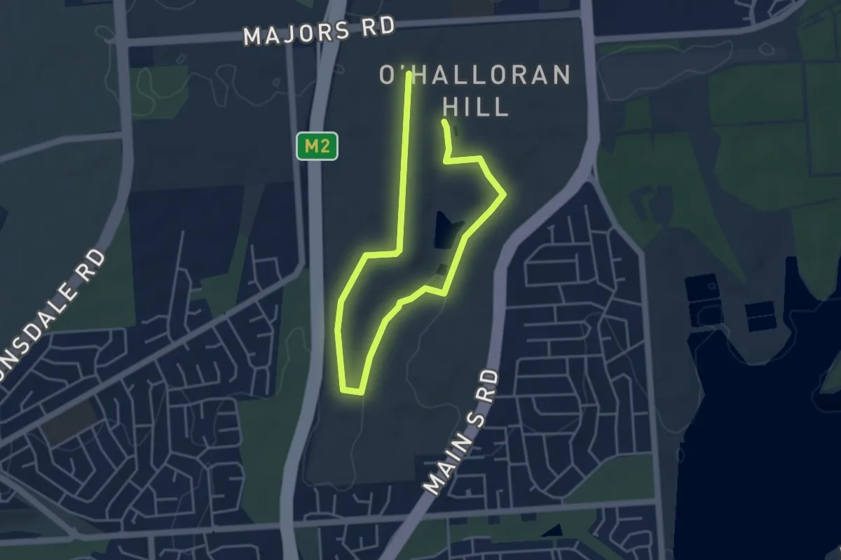
Easy · Trail
Stage 1 Loop Trail
7.2 km · ↑ 118 m · 1 h 58 min
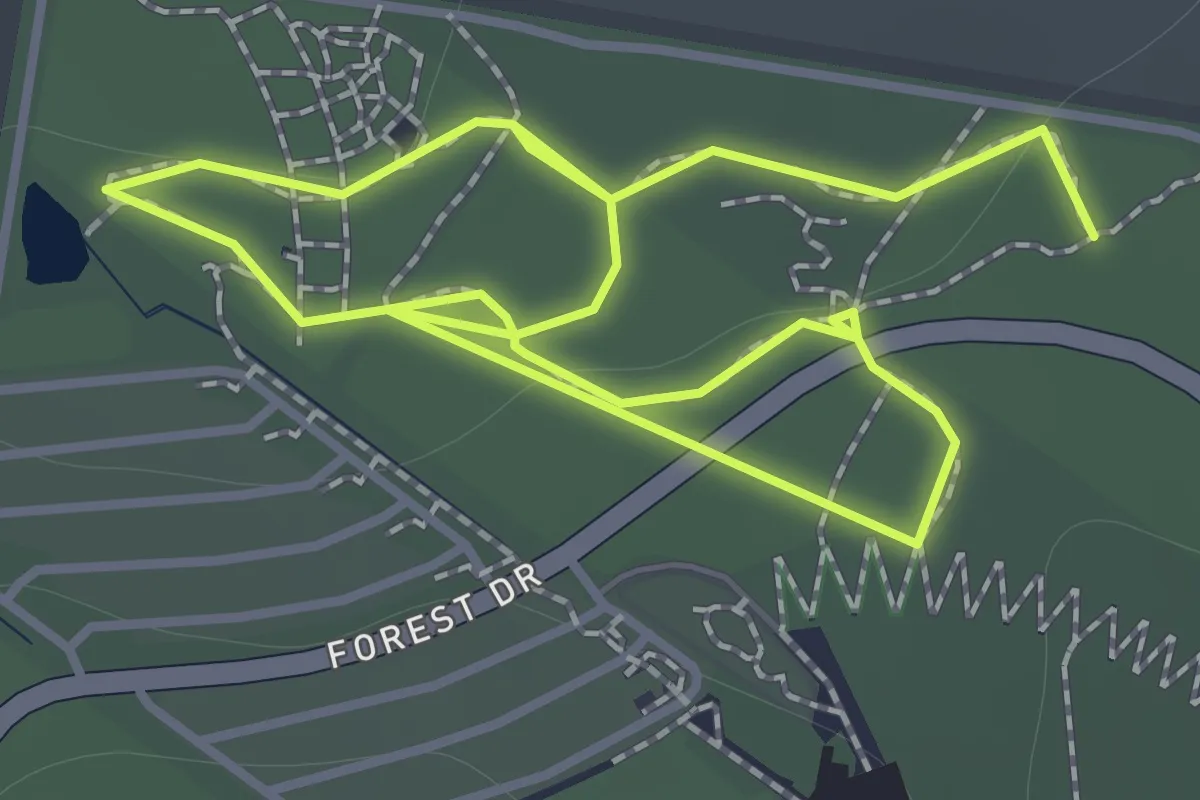
Easy · Trail
STEP Circuit
2.9 km · ↑ 23 m · 44 min
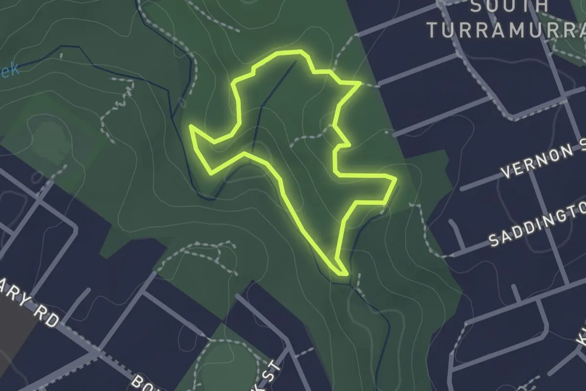
Easy · Trail
STEPTrack
1.9 km · ↑ 61 m · 37 min
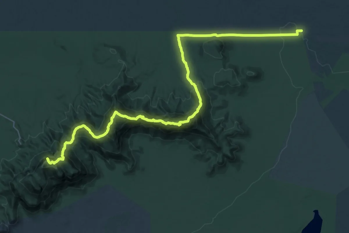
Expert · Summit
Stirling Range Ridge Walk
43.1 km · ↑ 3240 m · 17 h 12 min
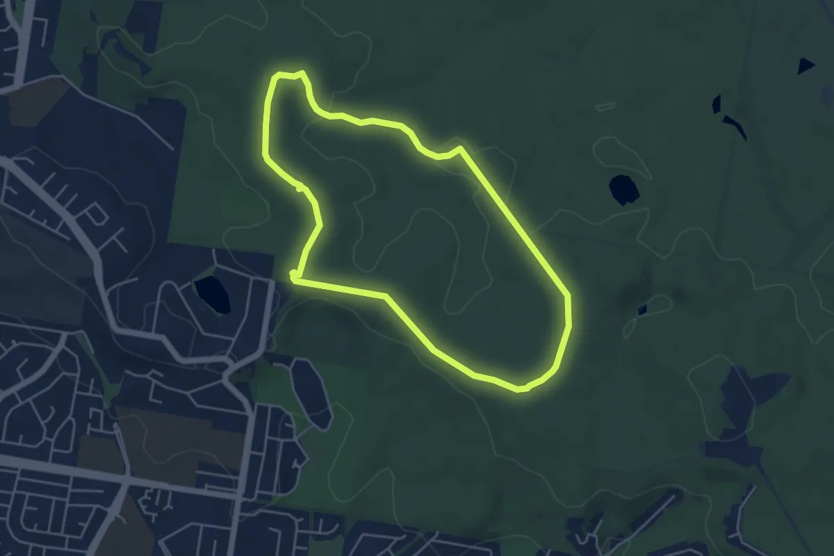
Easy · Trail
Stringybark Circuit
5.8 km · ↑ 87 m · 1 h 38 min
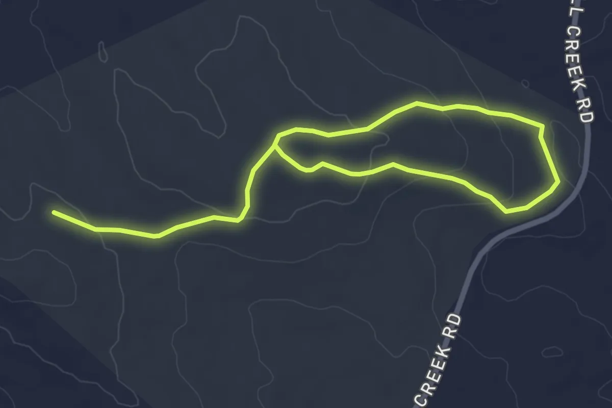
Medium · Trail
Stringybark Hike
8.9 km · ↑ 189 m · 2 h 31 min
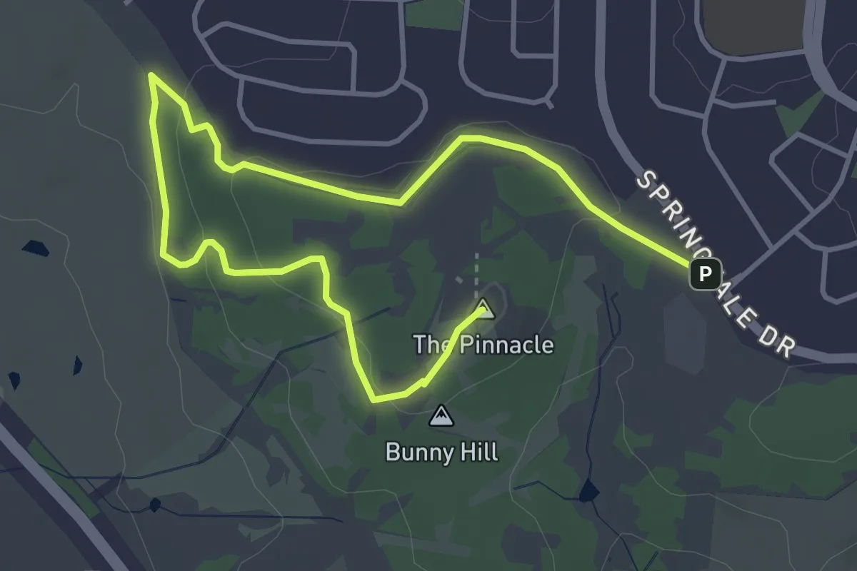
Easy · Summit
Stringybark Loop
6.2 km · ↑ 117 m · 1 h 43 min
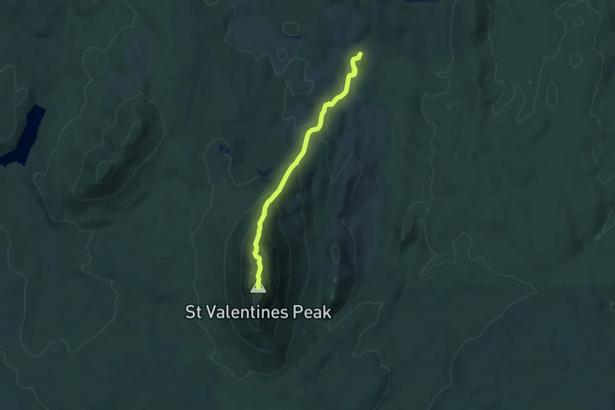
Expert · Summit
St Valentines Peak Track
8.5 km · ↑ 635 m · 3 h 23 min
Demanding · Trail
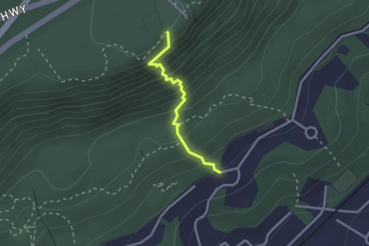
Sublime Point Track
1.9 km · ↑ 284 m · 1 h 4 min
Medium · Trail
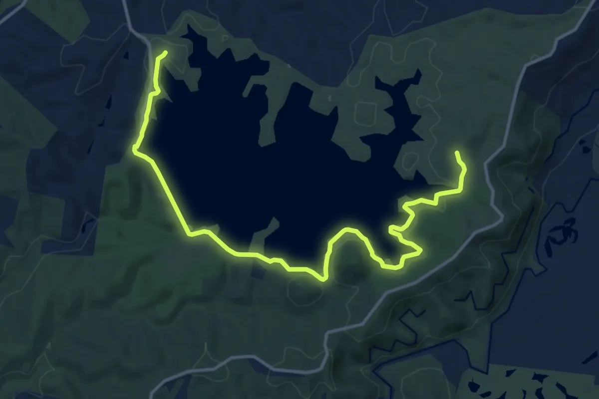
Sugarloaf Reservoir Circuit
15.2 km · ↑ 268 m · 4 h 11 min
Easy · Summit
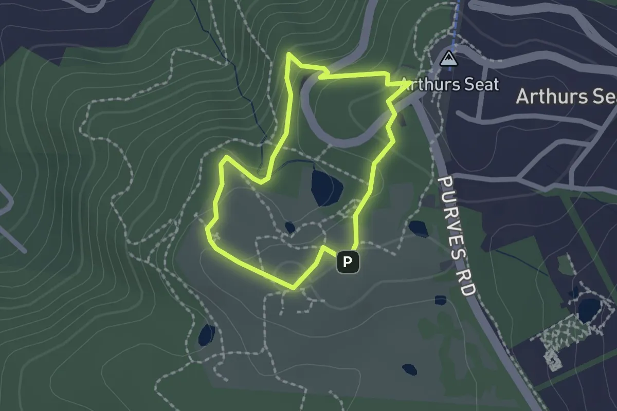
Summit Circuit Walk
1.7 km · ↑ 68 m · 34 min
Demanding · Trail
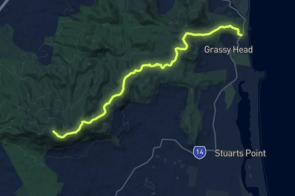
Summit to Sea Walking Track
21.2 km · ↑ 1089 m · 7 h 21 min
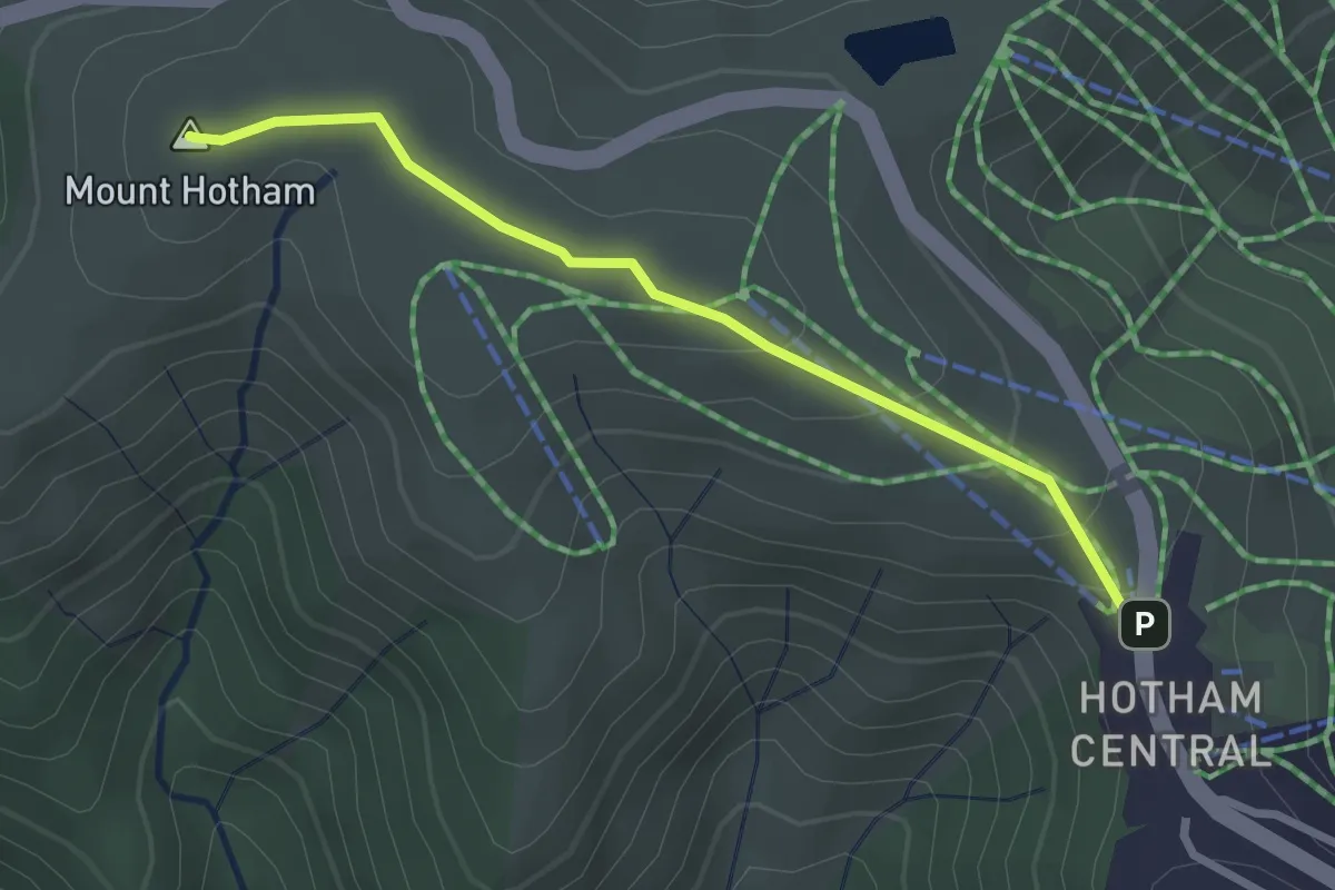
Easy · Summit
Summit Walk
3.0 km · ↑ 111 m · 57 min
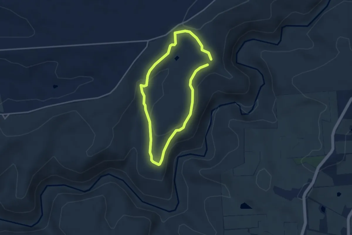
Easy · Trail
Sundews Ridge Hike
3.1 km · ↑ 95 m · 59 min
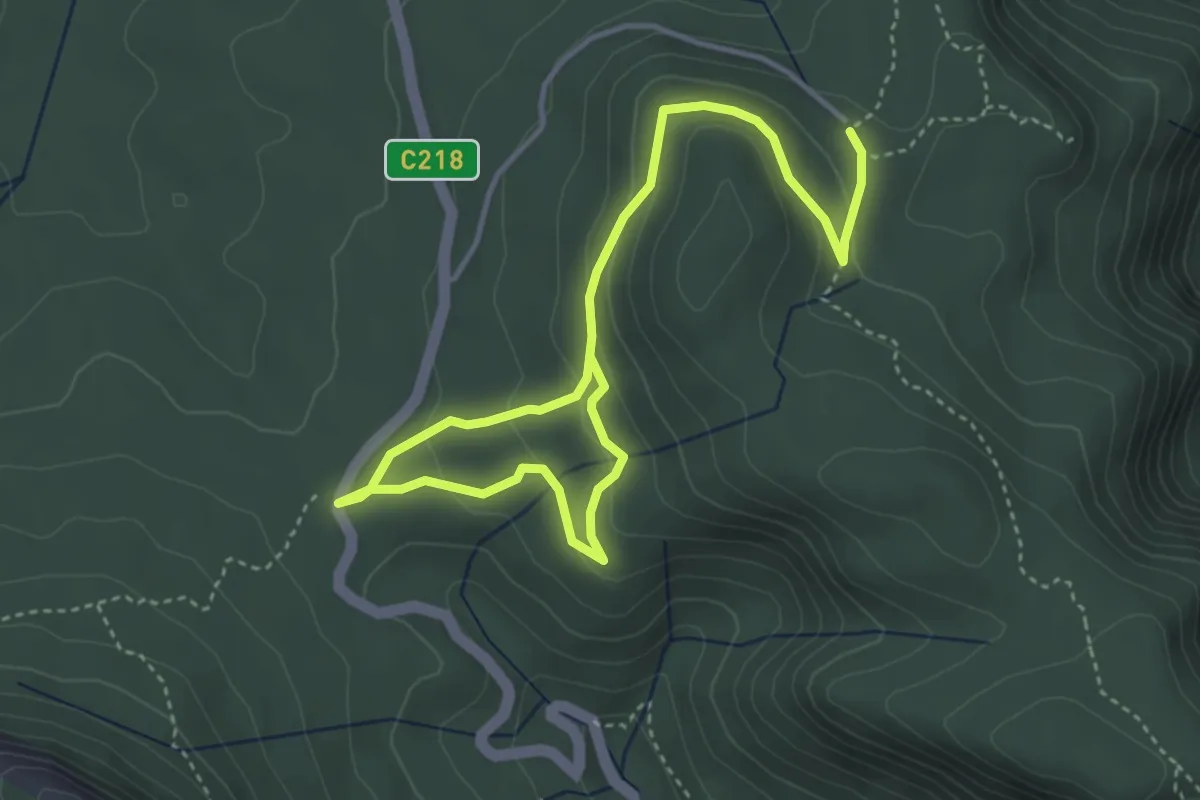
Easy · Trail
Sundial Carpark to Rosea Carpark
6.4 km · ↑ 221 m · 1 h 59 min
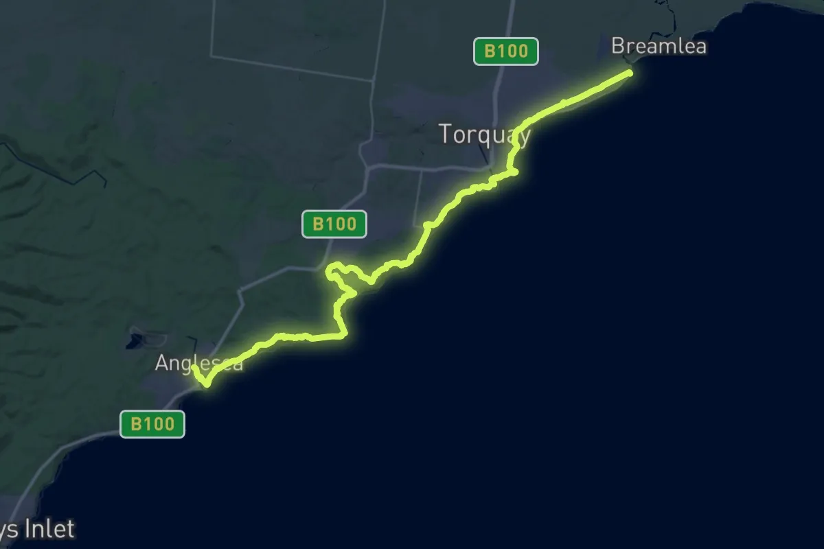
Demanding · Trail
Surf Coast Walk
28.7 km · ↑ 484 m · 8 h 14 min