Trails near Sydney
21 hikes starting within 15 km, nearest first.
Nearest first
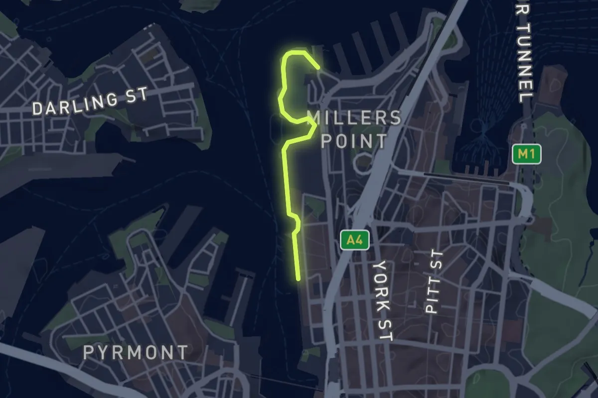
Easy · Trail
Wulugul Walk
3.2 km · ↑ 0 m · 45 min · 1 km away
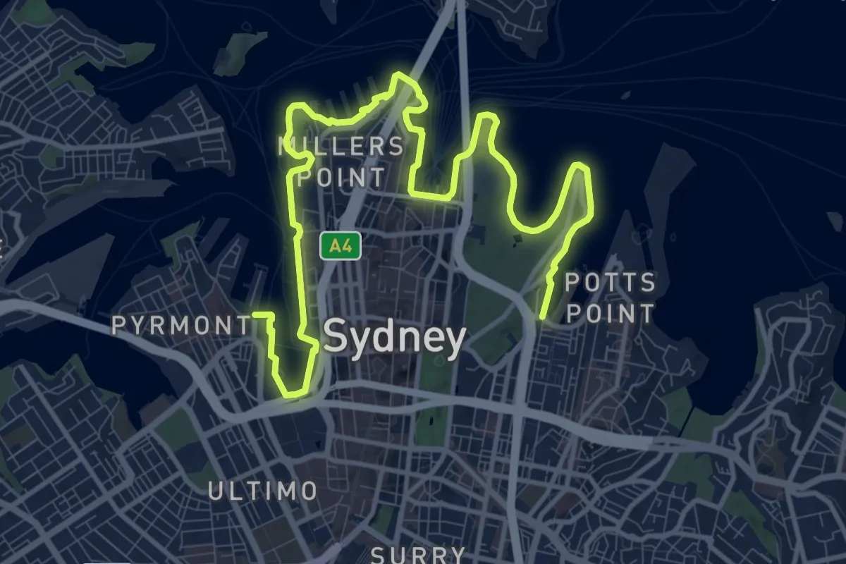
Demanding · Trail
Yananurala
18.2 km · ↑ 422 m · 5 h 13 min · 1 km away
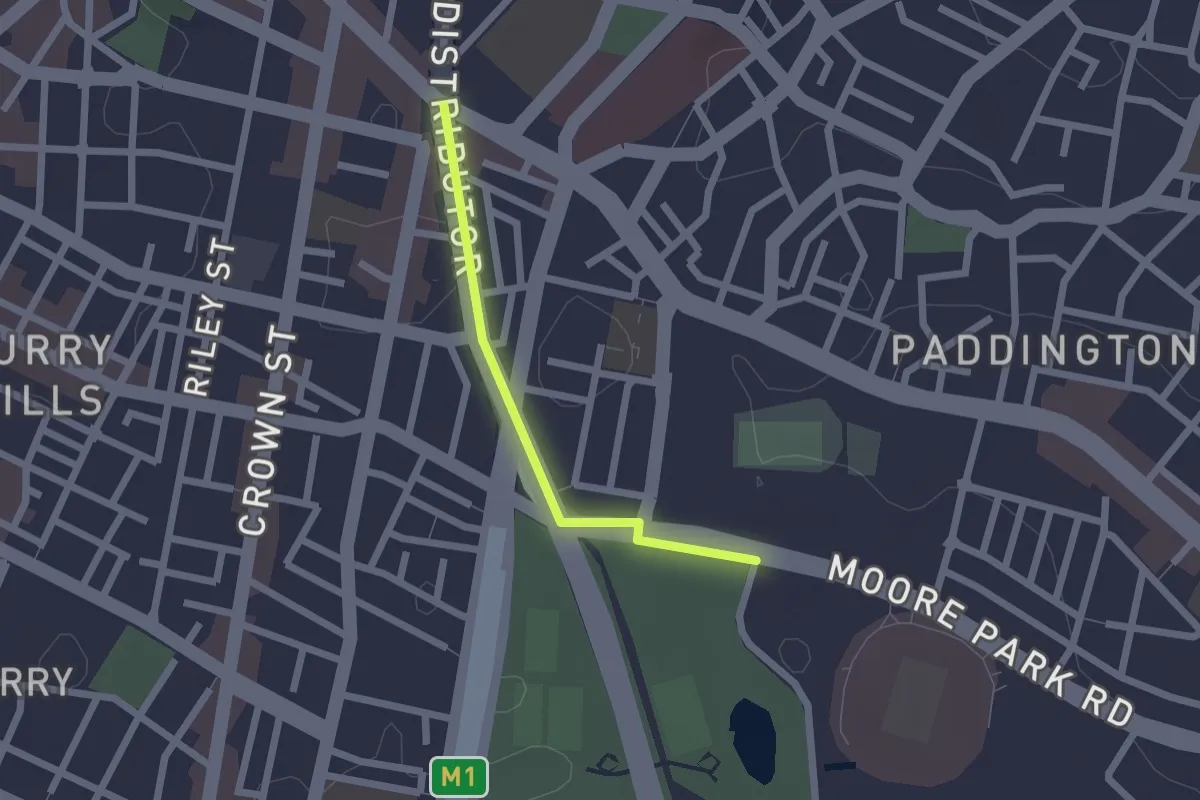
Easy · Trail
Oxford Street - Moore Park
2.1 km · ↑ 10 m · 30 min · 1 km away
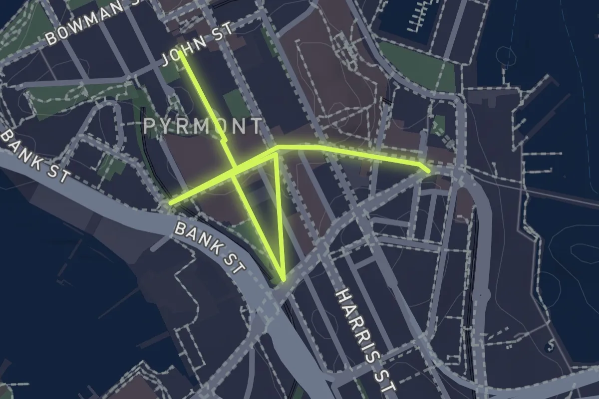
Easy · Trail
Pyrmont
3.1 km · ↑ 25 m · 47 min · 2 km away
Easy · Trail
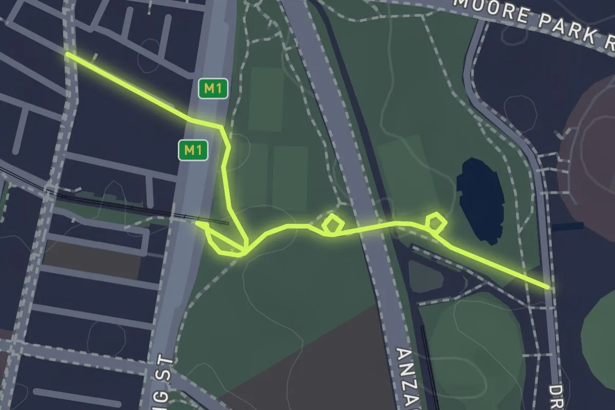
Central to Moore Park
2.7 km · ↑ 28 m · 42 min · 3 km away
Easy · Trail
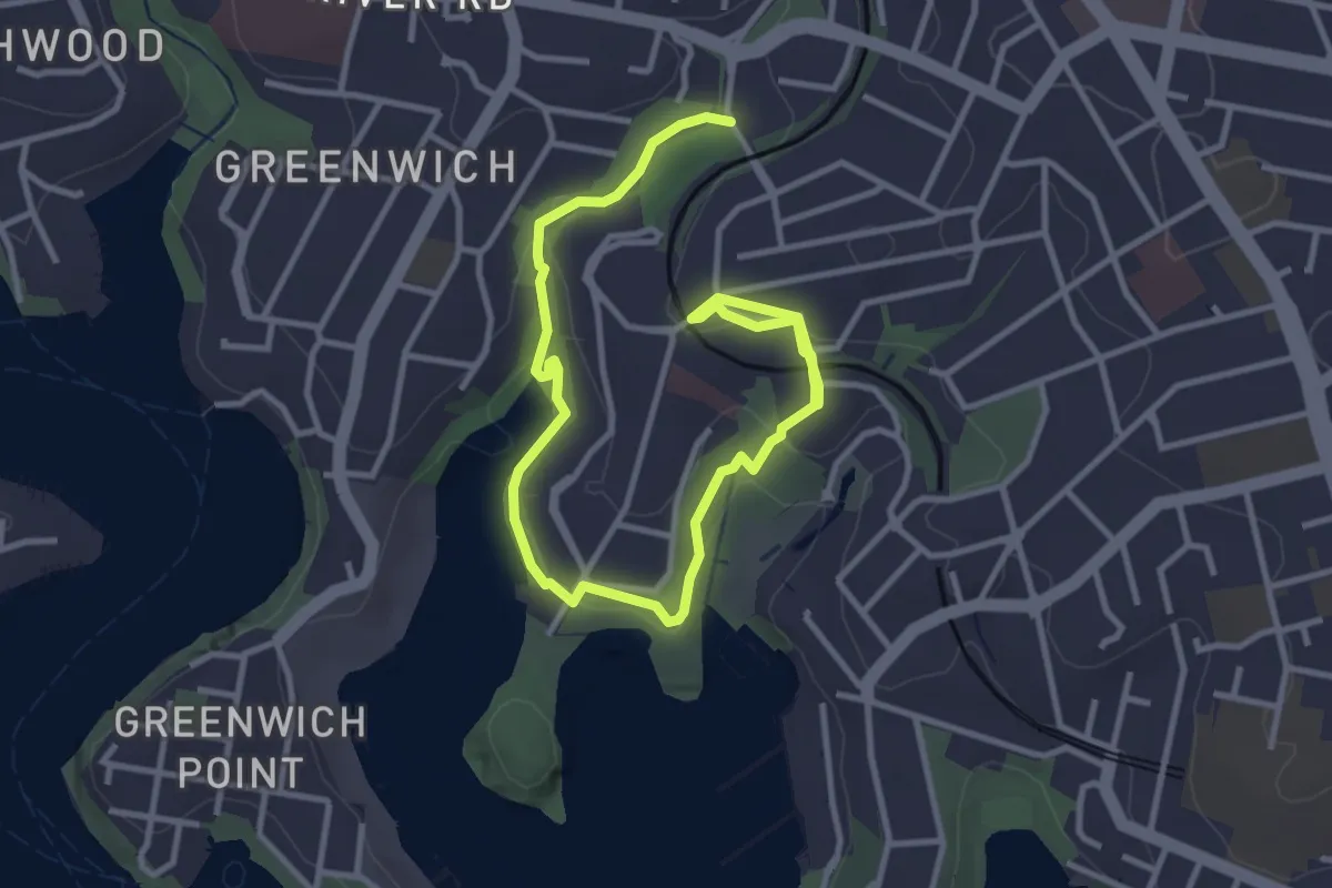
The Gore Cove Track
5.8 km · ↑ 121 m · 1 h 38 min · 5 km away
Easy · Trail
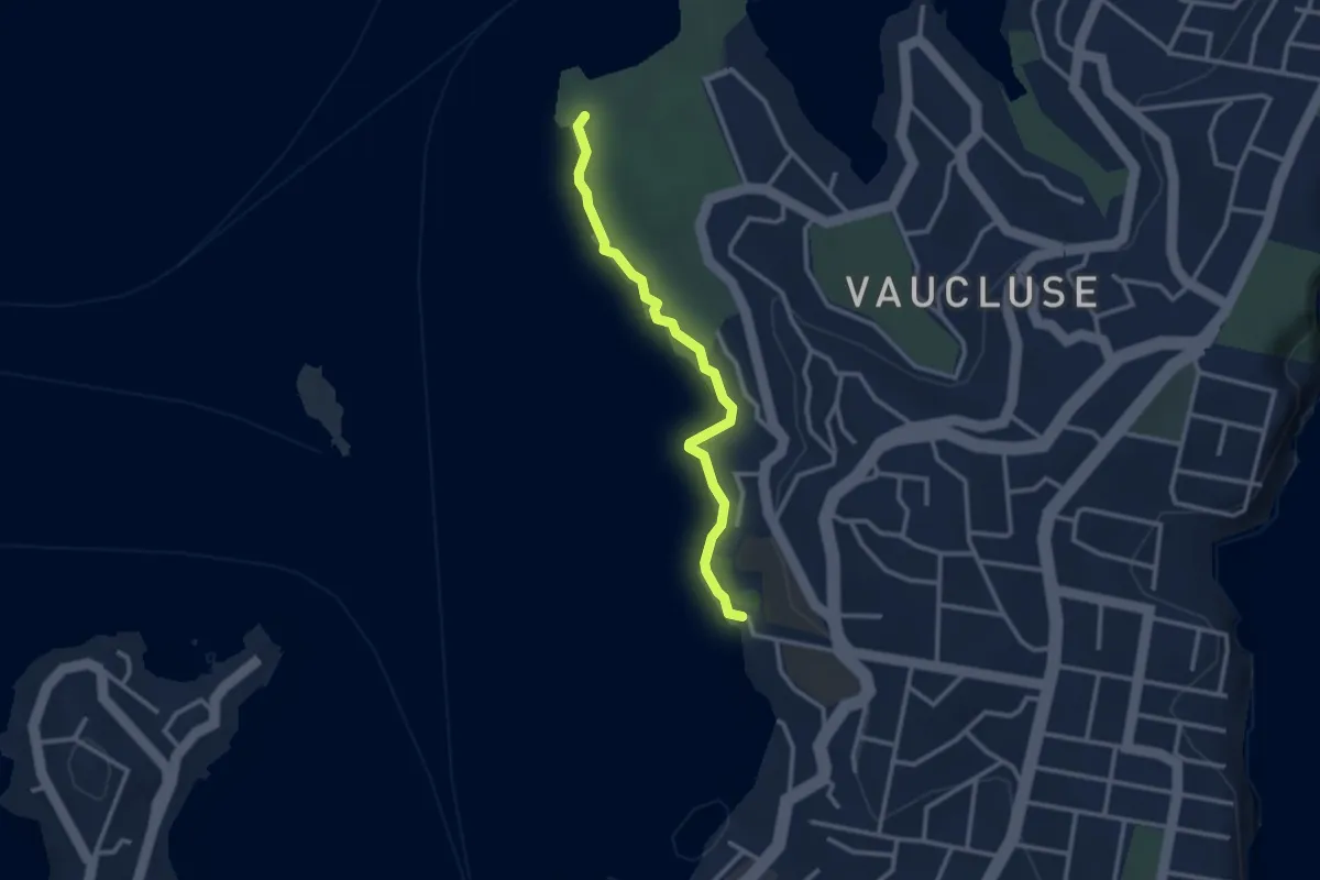
Hermitage Foreshore Walk
3.3 km · ↑ 98 m · 1 h · 6 km away
Easy · Trail
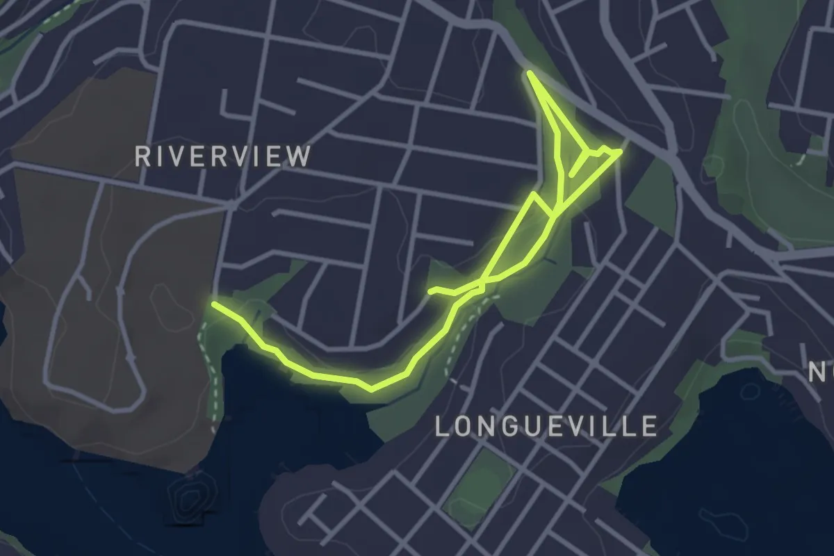
Tambourine Bay to Warraroon Reserve Bushwalk
5.3 km · ↑ 116 m · 1 h 30 min · 6 km away
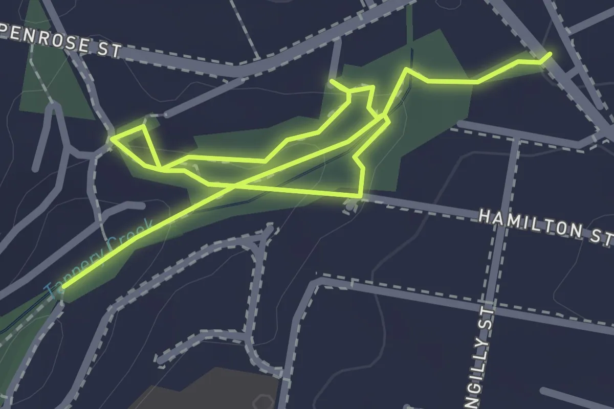
Easy · Trail
Tennyson Park
3.5 km · ↑ 74 m · 59 min · 7 km away
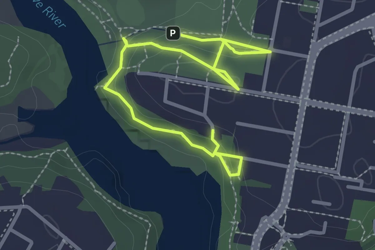
Easy · Trail
Blackman Park to The Boreen Bushwalk
4.0 km · ↑ 168 m · 1 h 19 min · 8 km away
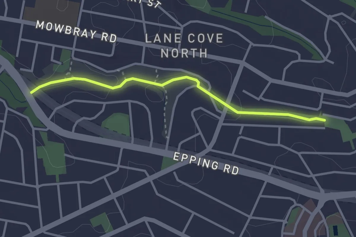
Easy · Trail
Harry Howard Bushwalk through Stringybark and Batten Reserves
3.3 km · ↑ 60 m · 54 min · 9 km away
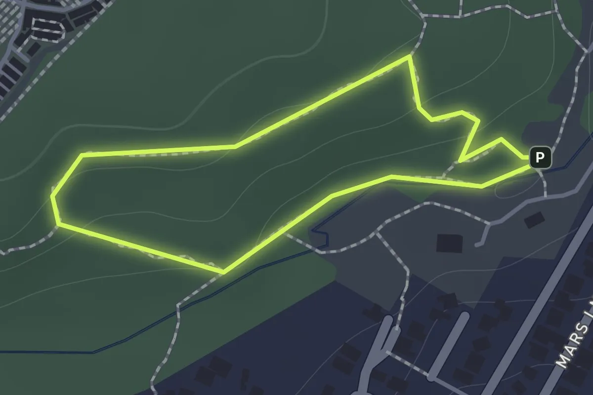
Easy · Trail
Doyle Loop
1.2 km · ↑ 31 m · 22 min · 9 km away
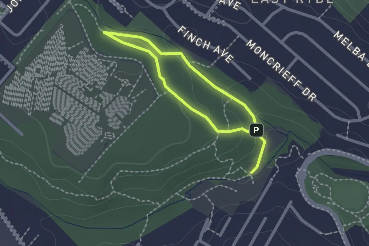
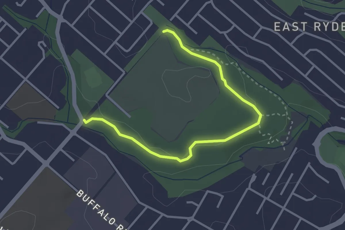
Easy · Trail
Warada Loop
3.2 km · ↑ 78 m · 55 min · 9 km away
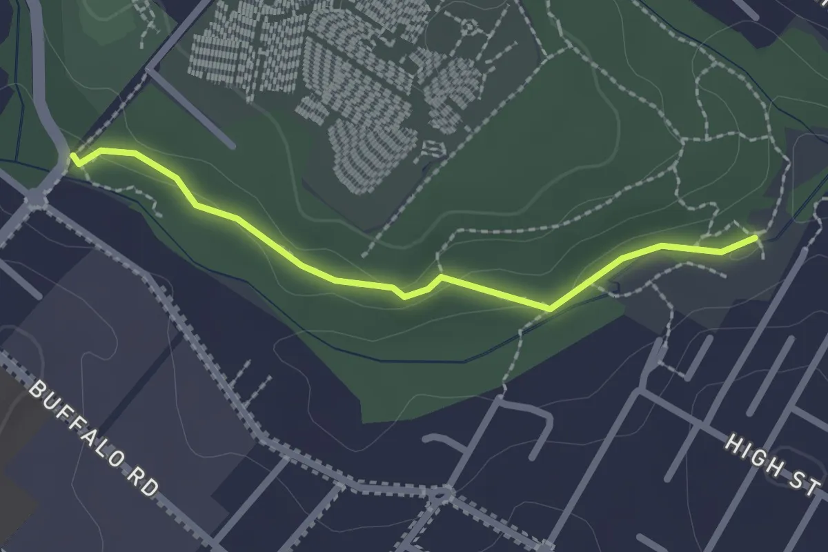
Easy · Trail
Sand Track
3.8 km · ↑ 61 m · 1 h 2 min · 10 km away
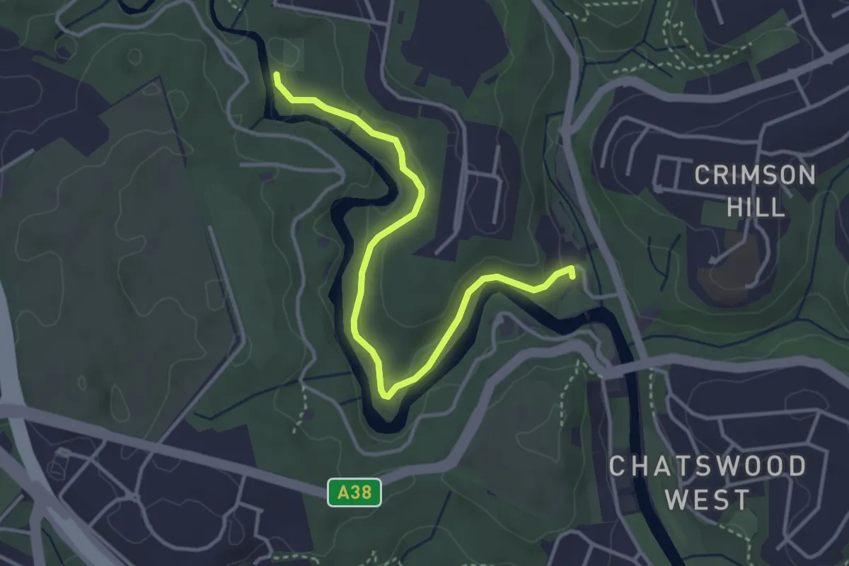
Easy · Trail
Kunzea Track
2.4 km · ↑ 41 m · 39 min · 10 km away
Easy · Trail
Lane Cove National Park Heritage Walk
4.5 km · ↑ 107 m · 1 h 18 min · 10 km away
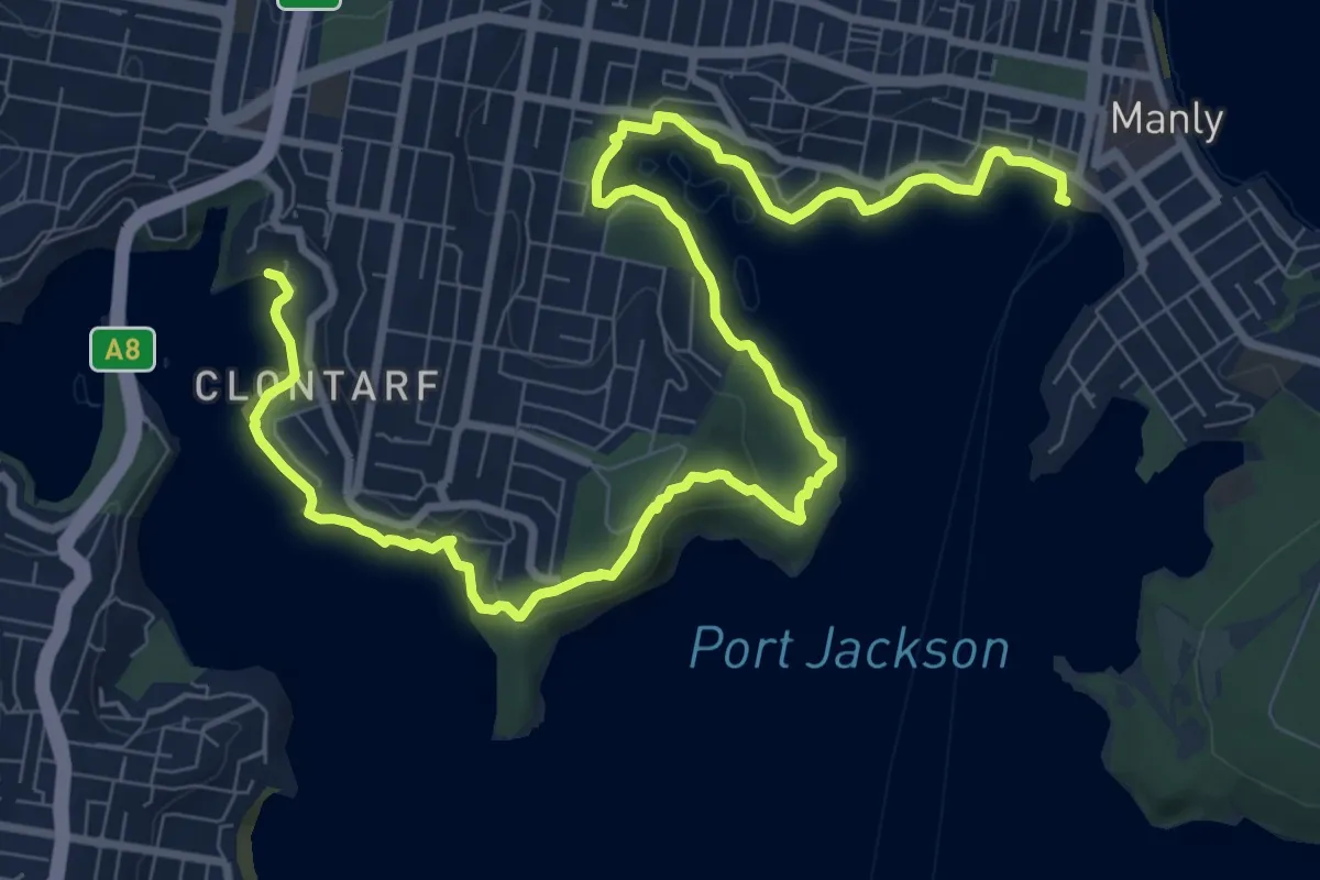
Demanding · Trail
Manly to Spit Bridge Walk
15.6 km · ↑ 1502 m · 6 h 57 min · 10 km away
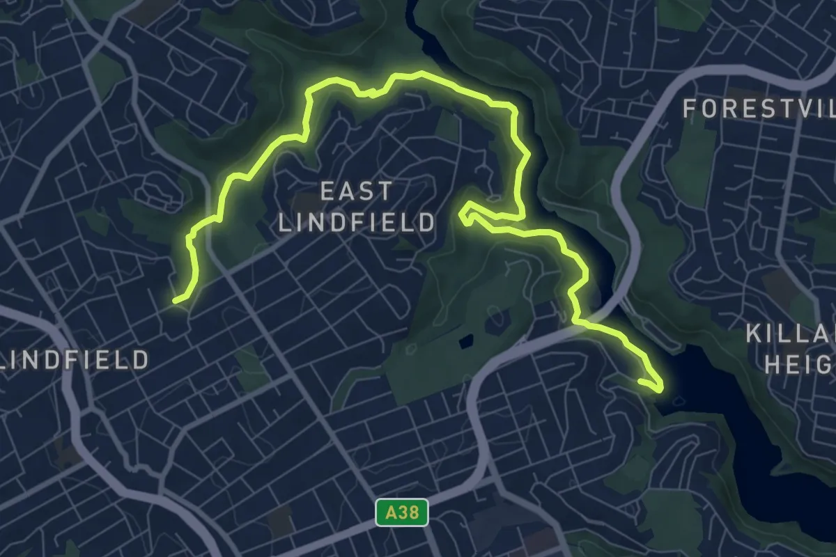
Medium · Trail
Two Creeks Track
13.1 km · ↑ 361 m · 3 h 52 min · 11 km away
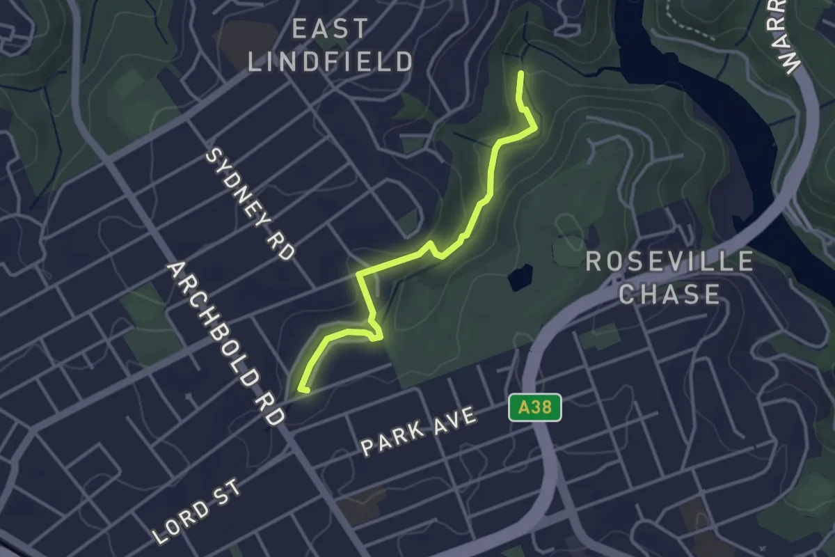
Easy · Trail
Little Digger Track
3.6 km · ↑ 73 m · 1 h 1 min · 11 km away
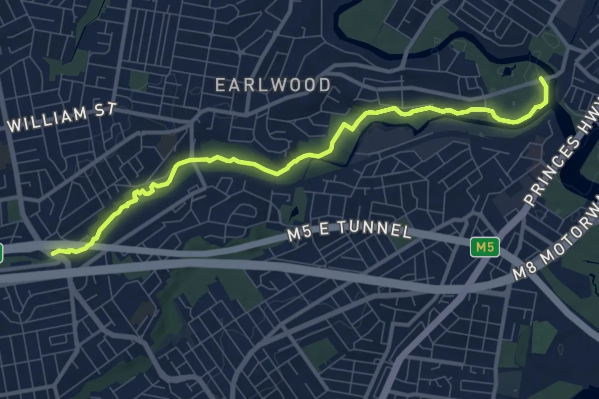
Medium · Trail
Two Valley Trail
10.0 km · ↑ 111 m · 2 h 36 min · 12 km away
Easy · Trail
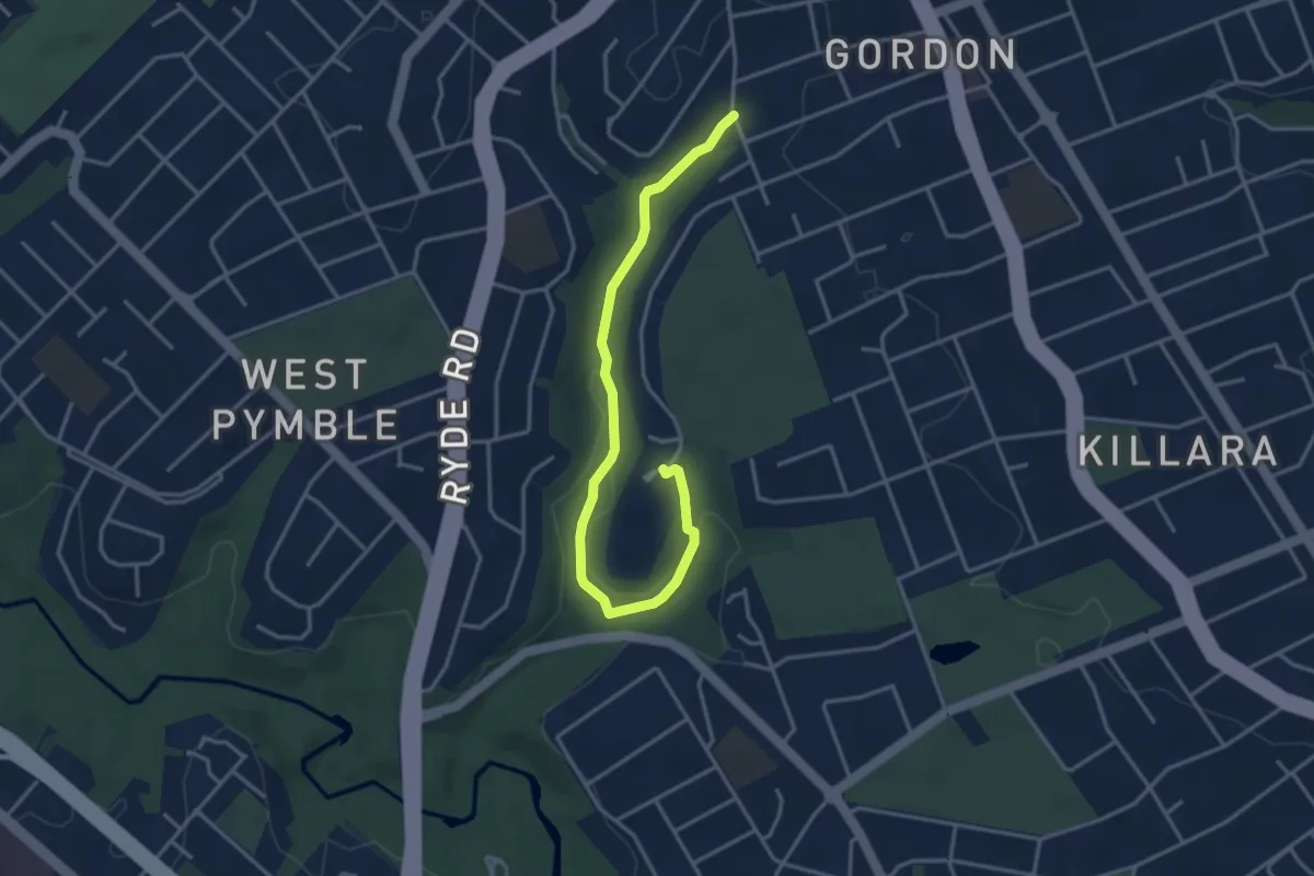
Blackbutt Creek Track
4.7 km · ↑ 100 m · 1 h 20 min · 14 km away