Trails near Arnoldstein
119 hikes starting within 15 km, nearest first.
Nearest first, page 3 of 3
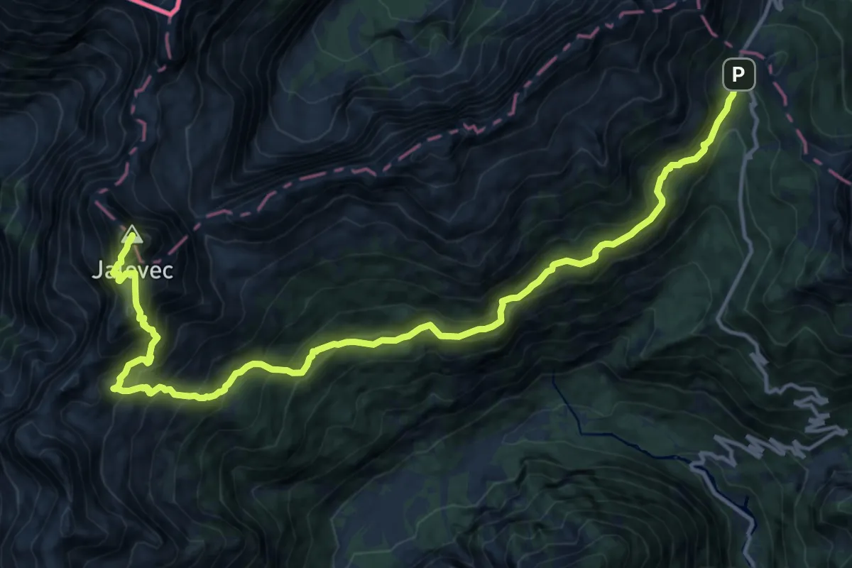
Expert · Summit
Vršič - Zav. pod Špičkom - Jalovec
17.3 km · ↑ 1849 m · 8 h 6 min · 13 km away
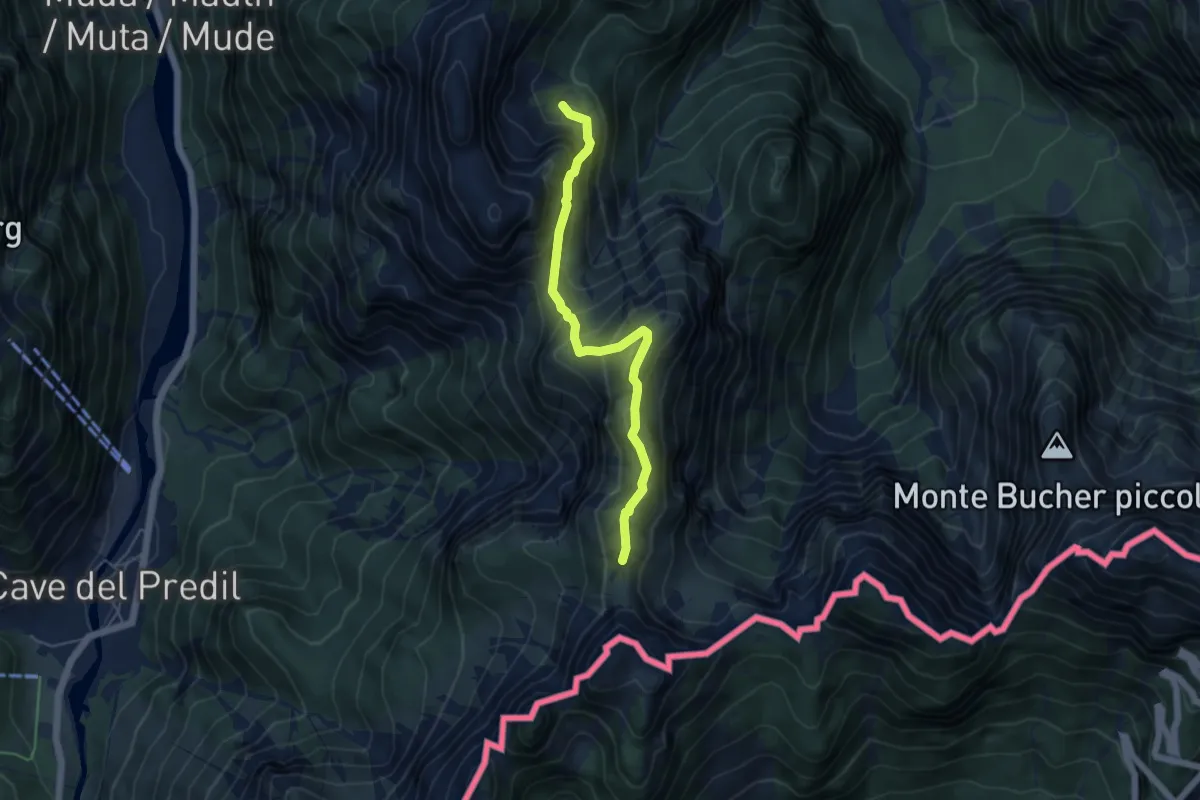
Medium · Trail
Val Romana (quota 918 m) – La Portella Bivio sentiero n. 511 (quota 1798 m)
4.9 km · ↑ 441 m · 2 h 6 min · 13 km away
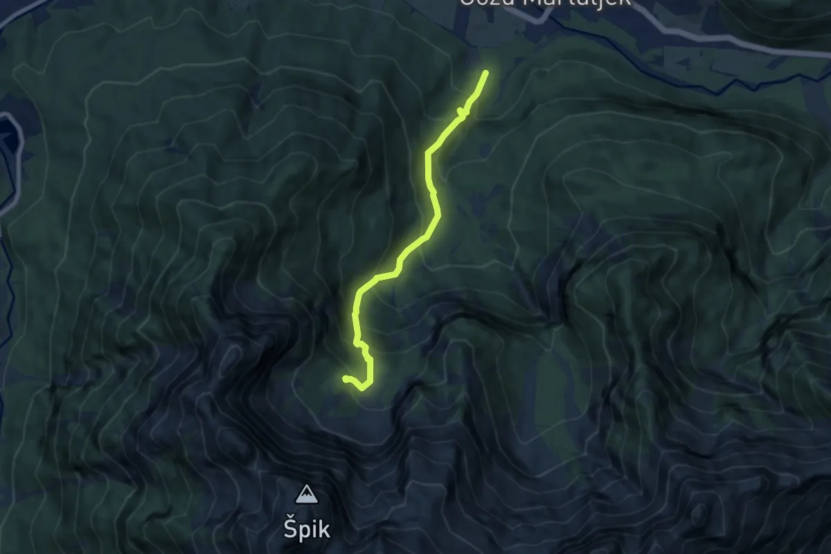
Medium · Trail
Martuljek - Krnica Pod srcem
6.7 km · ↑ 687 m · 3 h 4 min · 13 km away
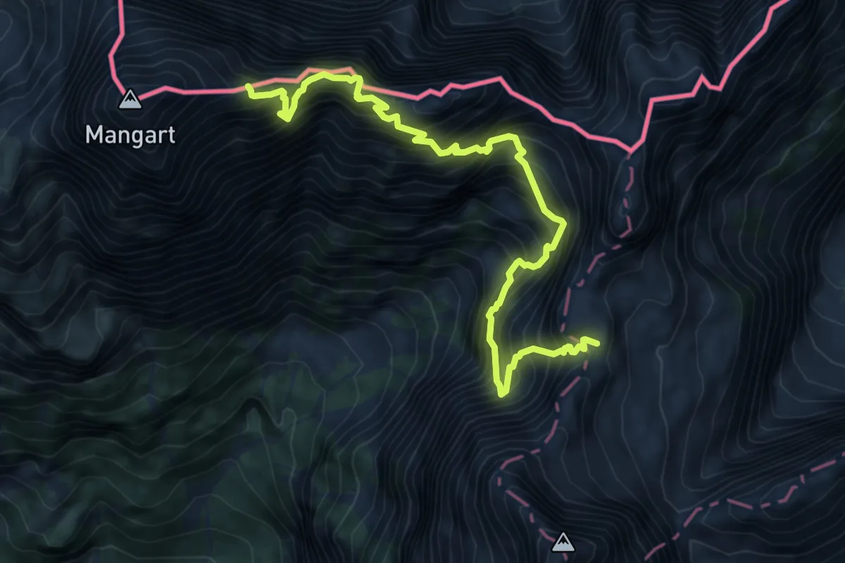
Expert · Summit
Kotovo sedlo - Mangart
8.4 km · ↑ 1636 m · 5 h 32 min · 13 km away
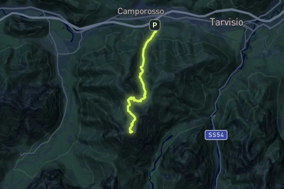
Demanding · Summit
Sentiero dei pellegrini
13.0 km · ↑ 1256 m · 5 h 48 min · 14 km away
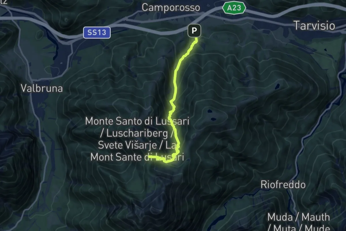
Demanding · Trail
Sentiero del Pellegrino
9.1 km · ↑ 885 m · 4 h 4 min · 14 km away
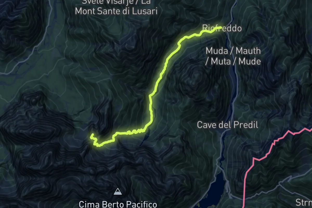
Demanding · Summit
Riofreddo (quota 817 m) – Rifugio Pellarini (quota 1499 m)
16.2 km · ↑ 983 m · 5 h 57 min · 14 km away
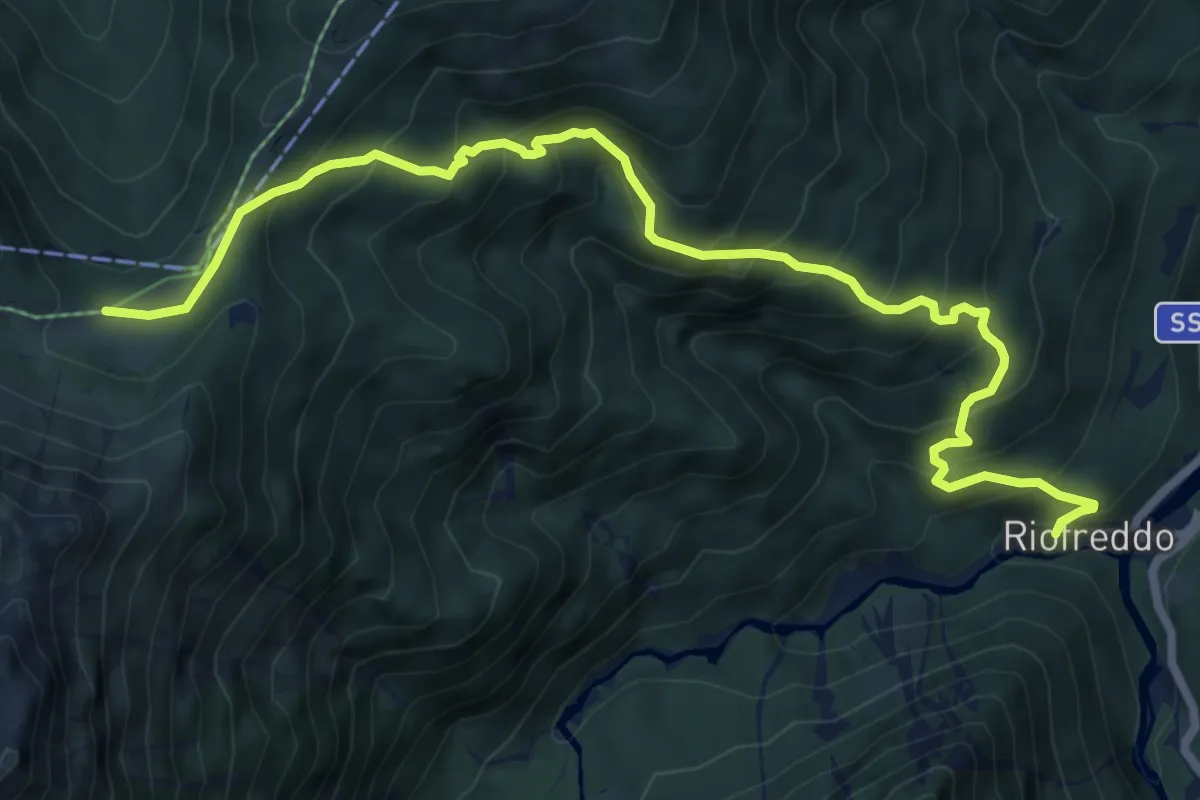
Medium · Trail
Sentiero delle Croci
8.6 km · ↑ 744 m · 3 h 38 min · 14 km away
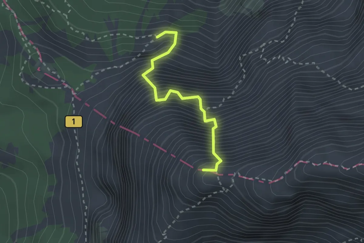
Expert · Summit
Kopiščarjeva pot
2.0 km · ↑ 725 m · 2 h 3 min · 14 km away
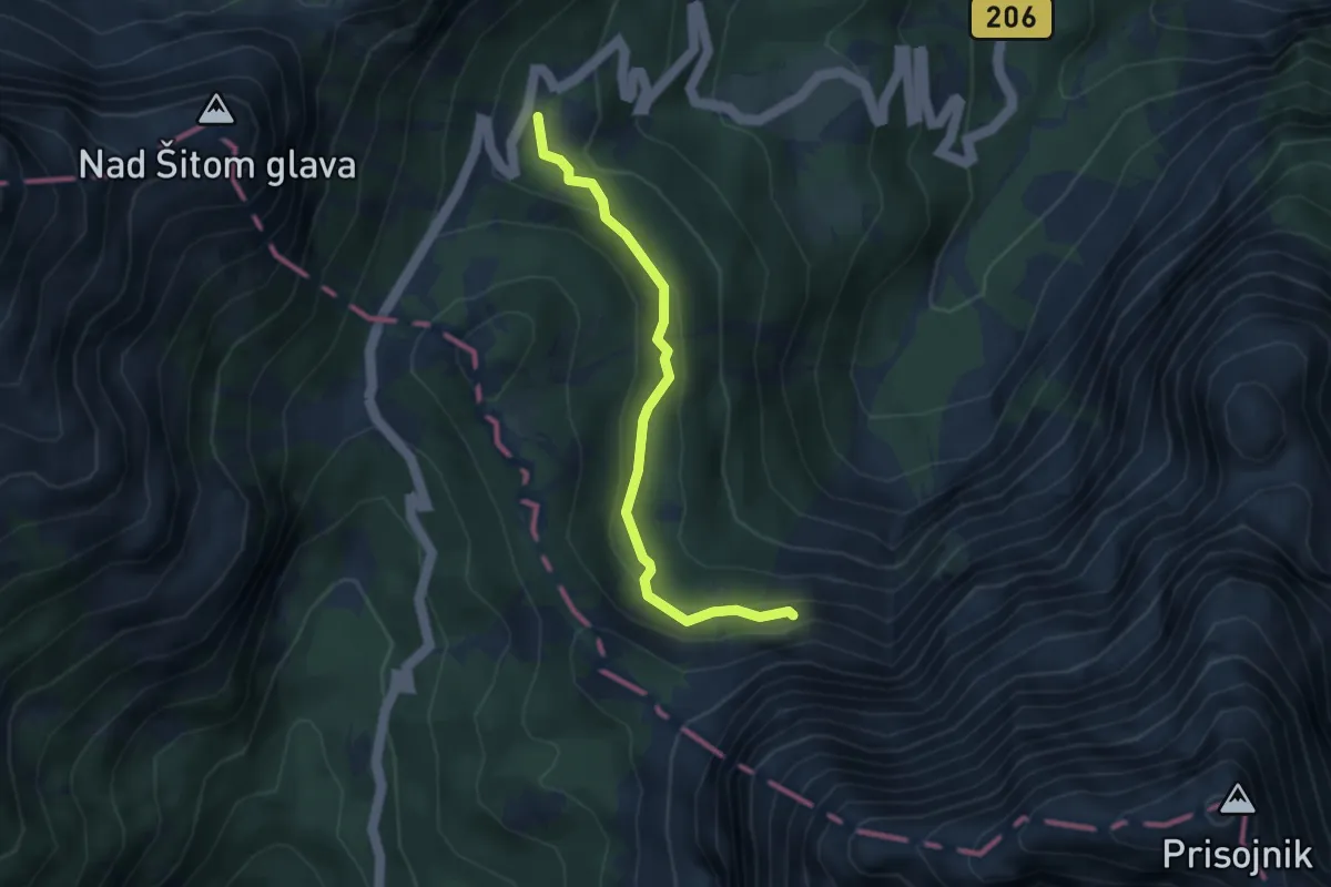
Expert · Cabin
Prisojnik po Kopiščarjevi poti
3.4 km · ↑ 154 m · 1 h 8 min · 14 km away
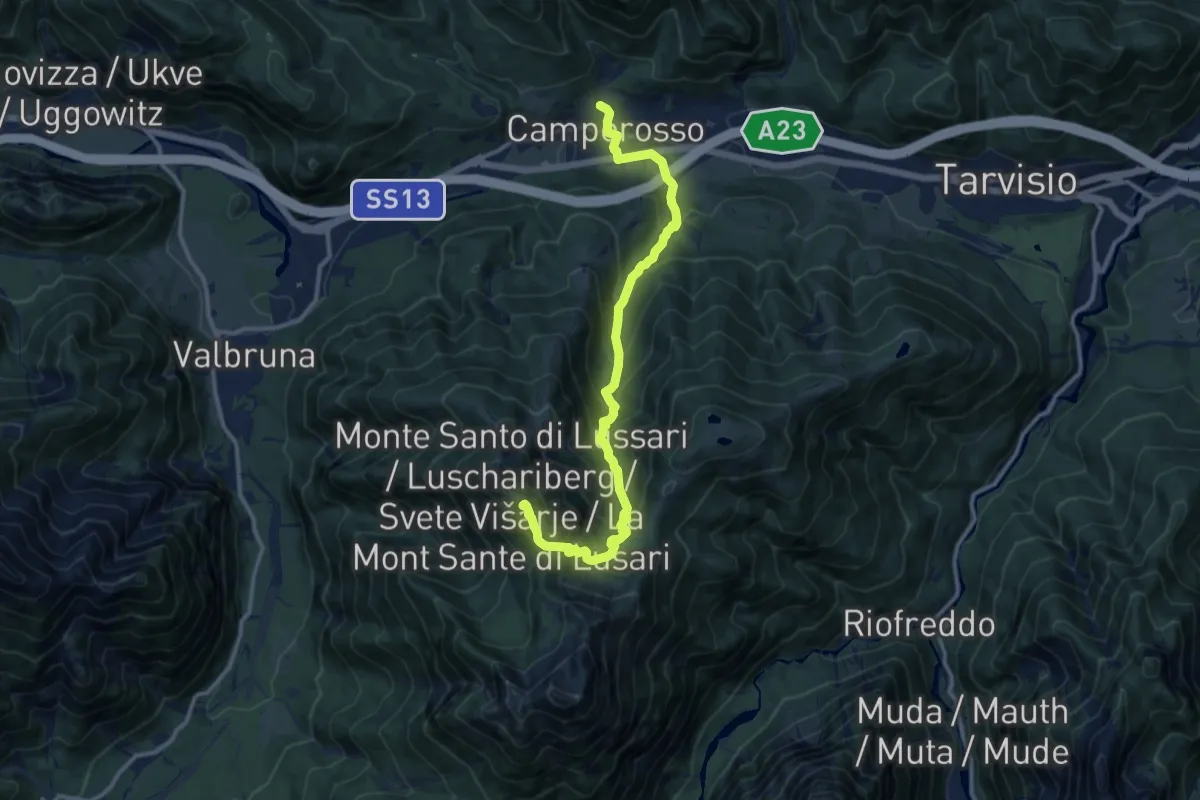
Demanding · Summit
Cammino Celeste Italia - 10 Camporosso - Monte Lussari
12.7 km · ↑ 979 m · 5 h 7 min · 14 km away
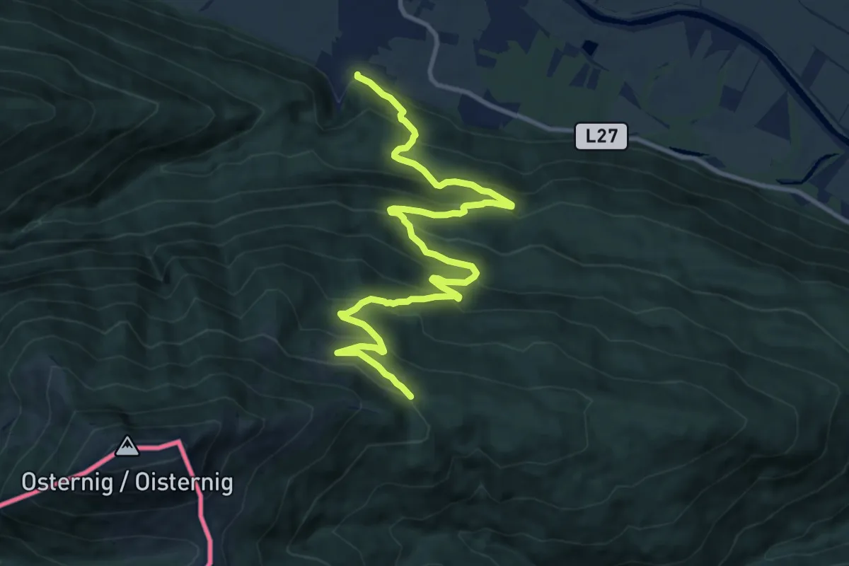
Demanding · Trail
Wanderweg 478
12.8 km · ↑ 895 m · 4 h 57 min · 14 km away
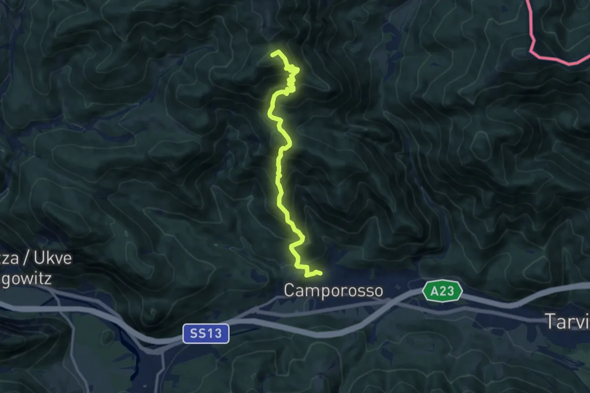
Demanding · Summit
Camporosso (quota 805 m) – Sella Pleccia (quota 1616 m)
10.3 km · ↑ 948 m · 4 h 29 min · 14 km away
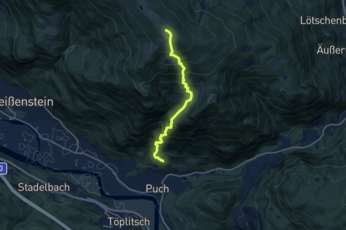
Demanding · Summit
Wanderweg 179 Puch - Schwarzsee
8.8 km · ↑ 1193 m · 4 h 40 min · 14 km away
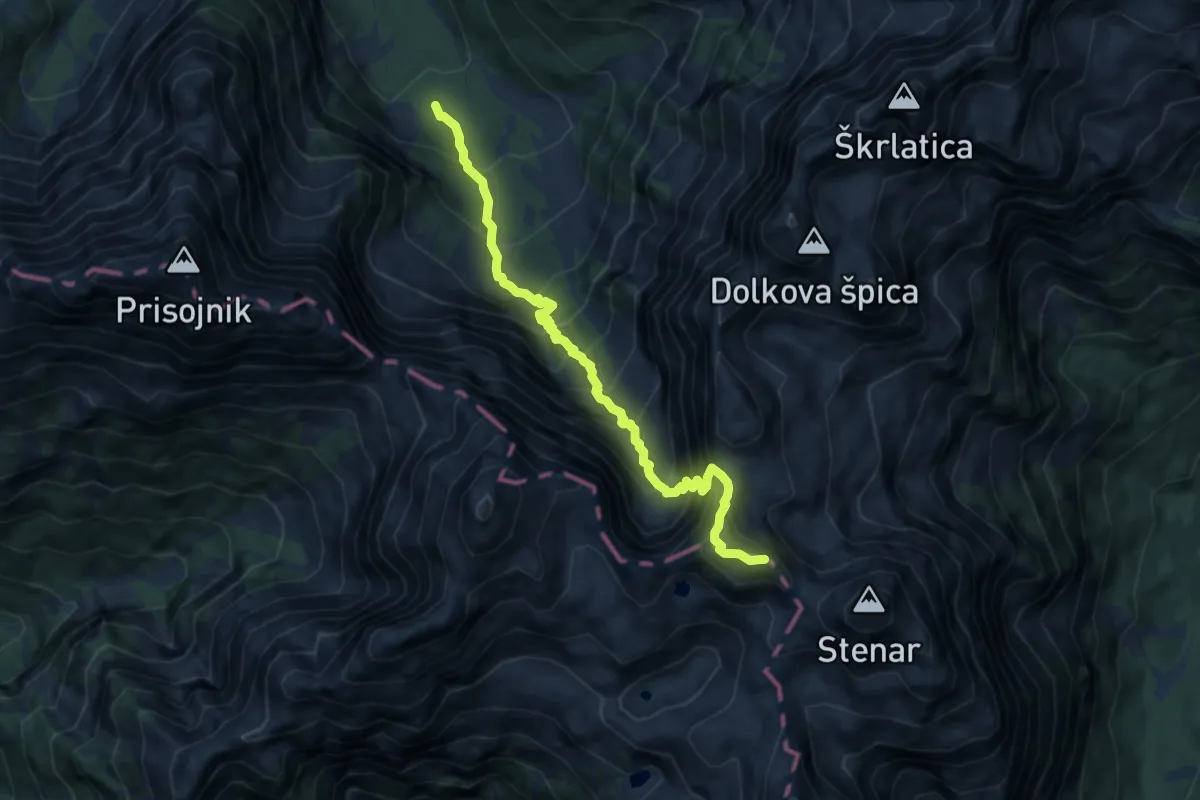
Expert · Summit
Koča v Krnici - Križ
8.7 km · ↑ 1287 m · 4 h 50 min · 14 km away
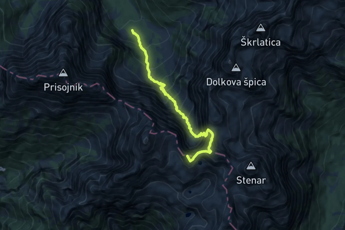
Expert · Summit
Koča v Krnici - Pogačnikov dom
9.4 km · ↑ 1395 m · 5 h 14 min · 14 km away
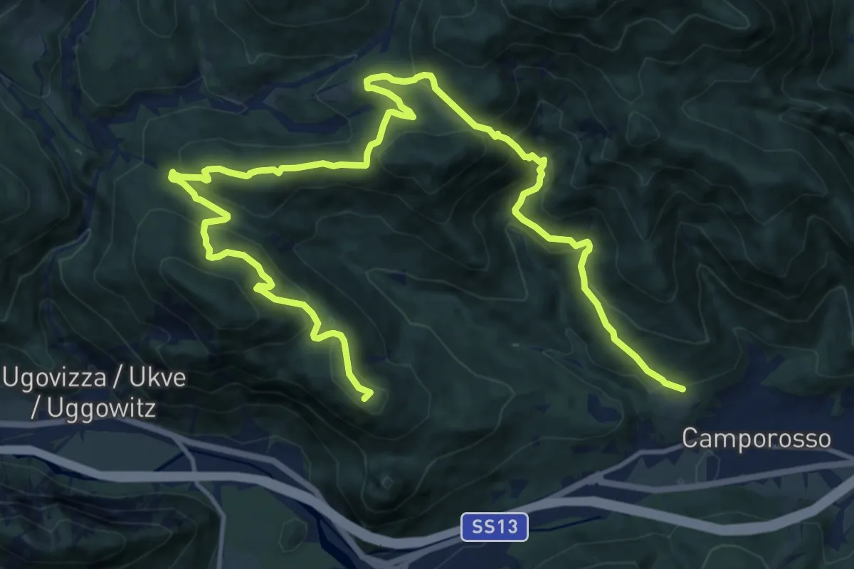
Demanding · Summit
Camporosso, Bivio sentiero n. 508 (quota 905 m) – Camporosso Località Spartiacque (quota 816 m)
18.8 km · ↑ 941 m · 6 h 29 min · 14 km away
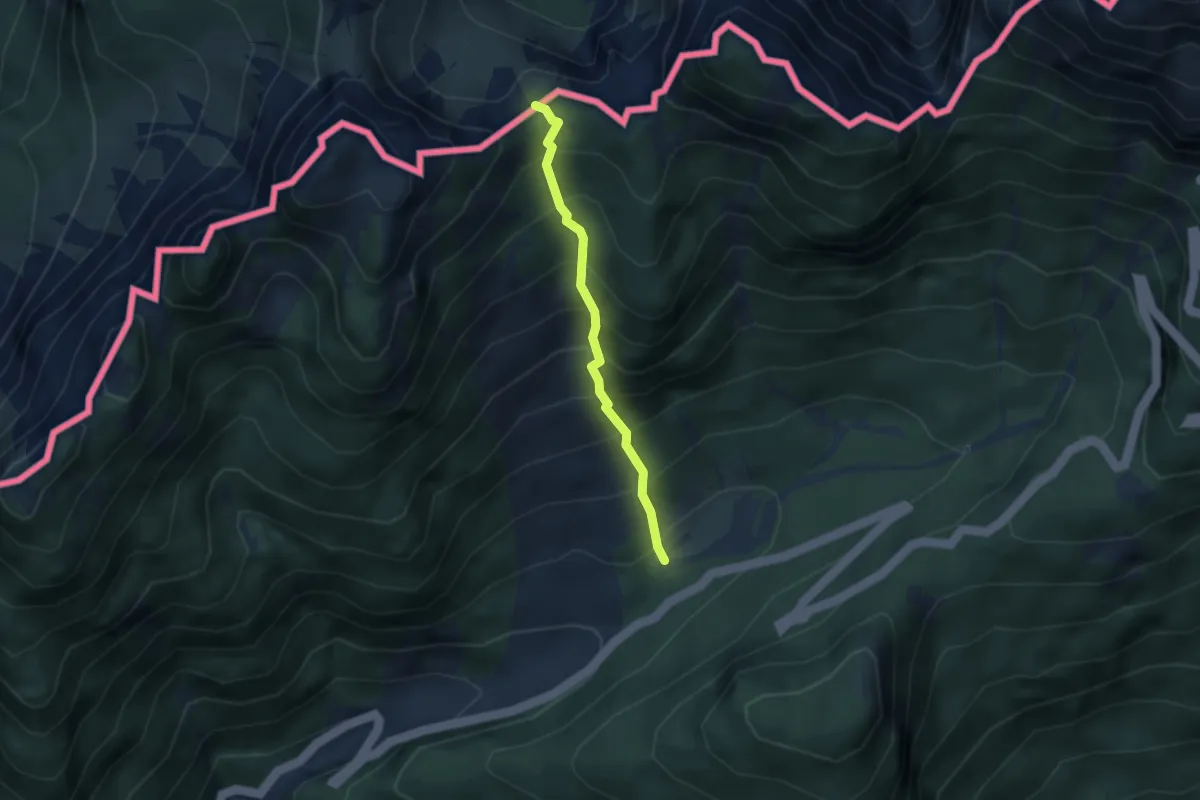
Medium · Trail
Mangartska pl. - Čez Stože
2.7 km · ↑ 439 m · 1 h 35 min · 14 km away
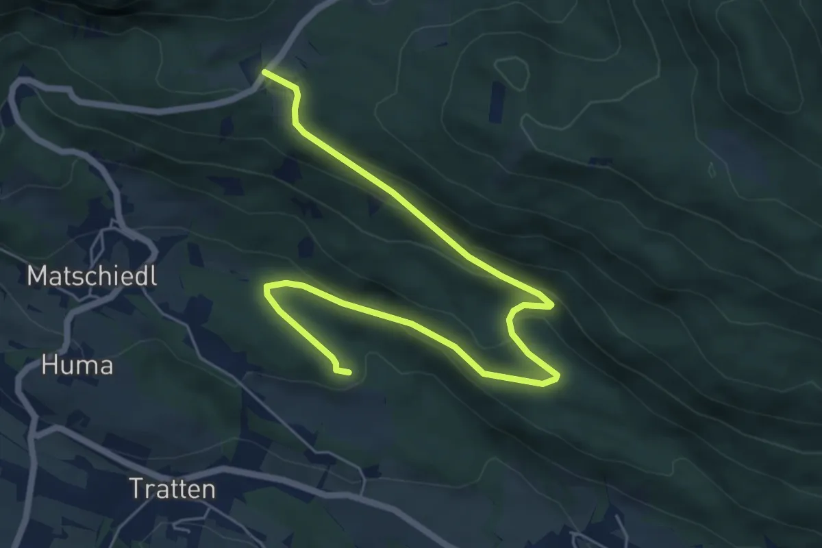
Easy · Trail
Wanderweg Tratten - Windische Hoehe
7.0 km · ↑ 254 m · 2 h 13 min · 15 km away
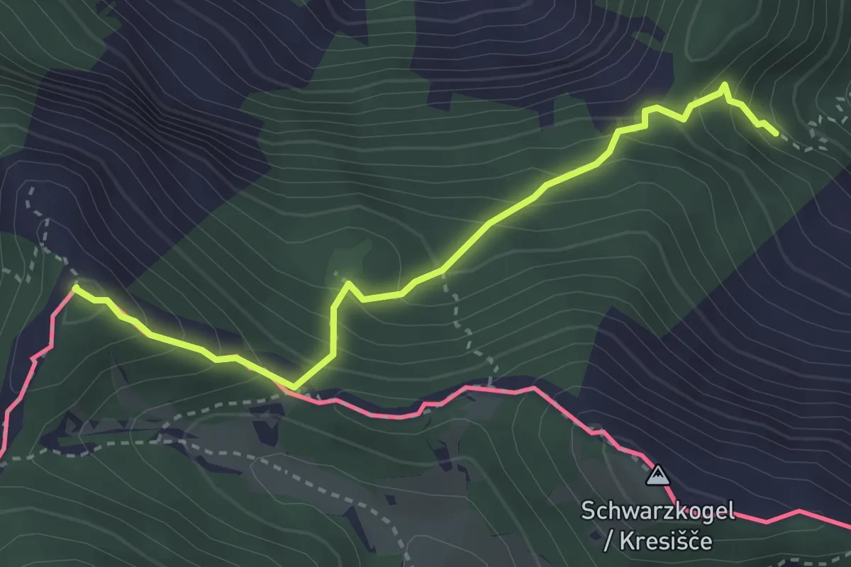
Medium · Summit
Wanderweg 683 - Karawanken
3.2 km · ↑ 395 m · 1 h 37 min · 15 km away
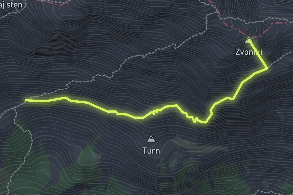
Expert · Summit
Pot čez Kajzljevo škrbino
2.7 km · ↑ 516 m · 1 h 46 min · 15 km away
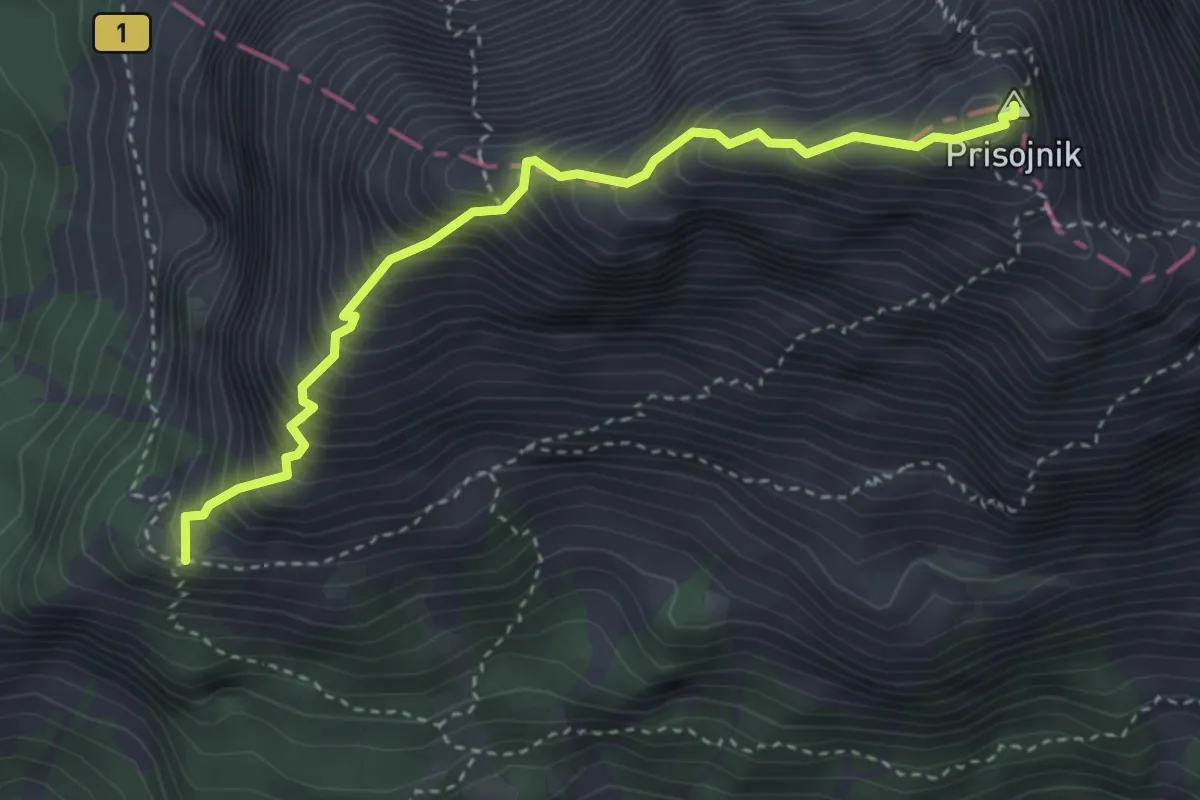
Expert · Summit
Grebenska pot
3.6 km · ↑ 699 m · 2 h 22 min · 15 km away
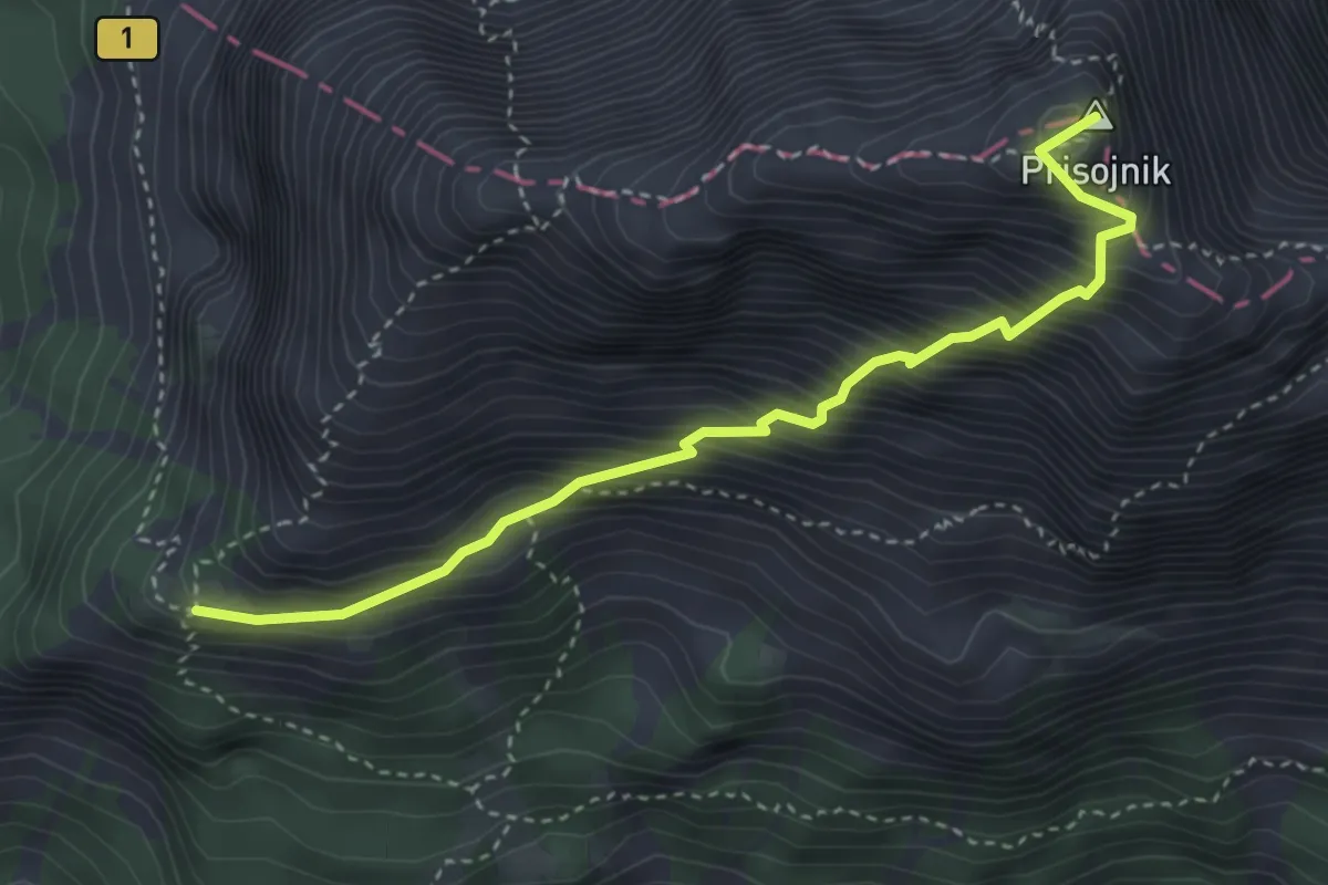
Demanding · Summit
Slovenska pot
3.7 km · ↑ 716 m · 2 h 26 min · 15 km away