Trails near Arnoldstein
119 hikes starting within 15 km, nearest first.
Nearest first, page 2 of 3
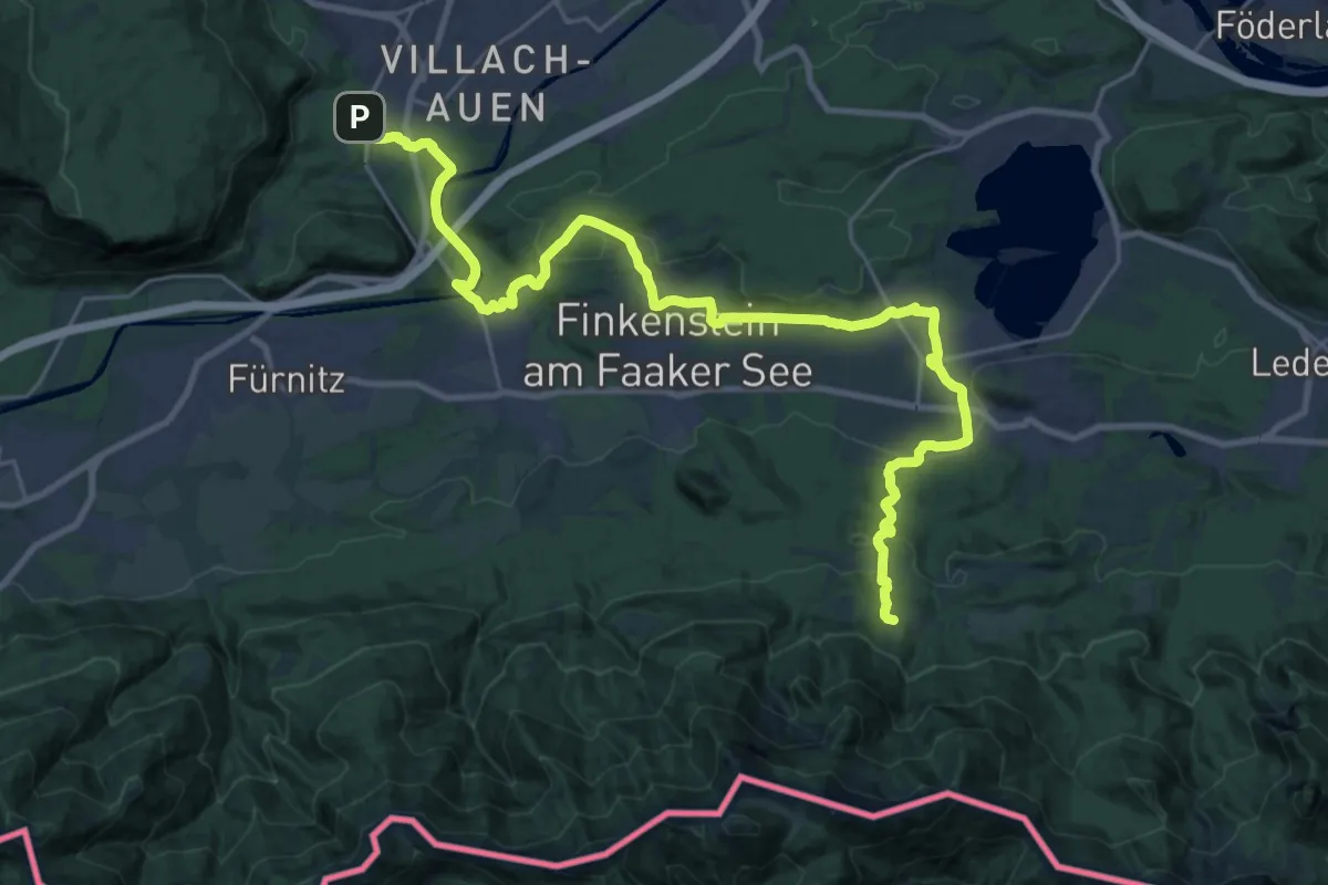
Medium · Trail
Alpe Adria Trail R1
15.3 km · ↑ 502 m · 4 h 42 min · 10 km away
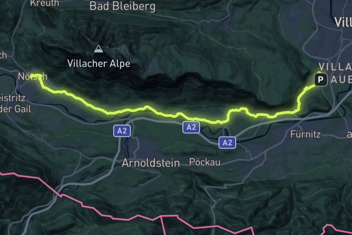
Demanding · Trail
Alpe Adria Trail R2
20.6 km · ↑ 261 m · 5 h 42 min · 10 km away
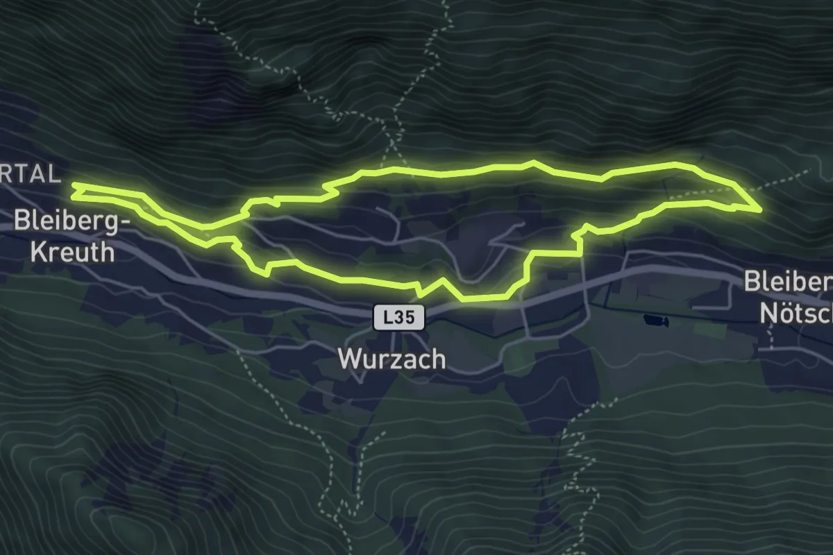
Medium · Trail
Stollenwanderweg
4.9 km · ↑ 171 m · 1 h 36 min · 10 km away
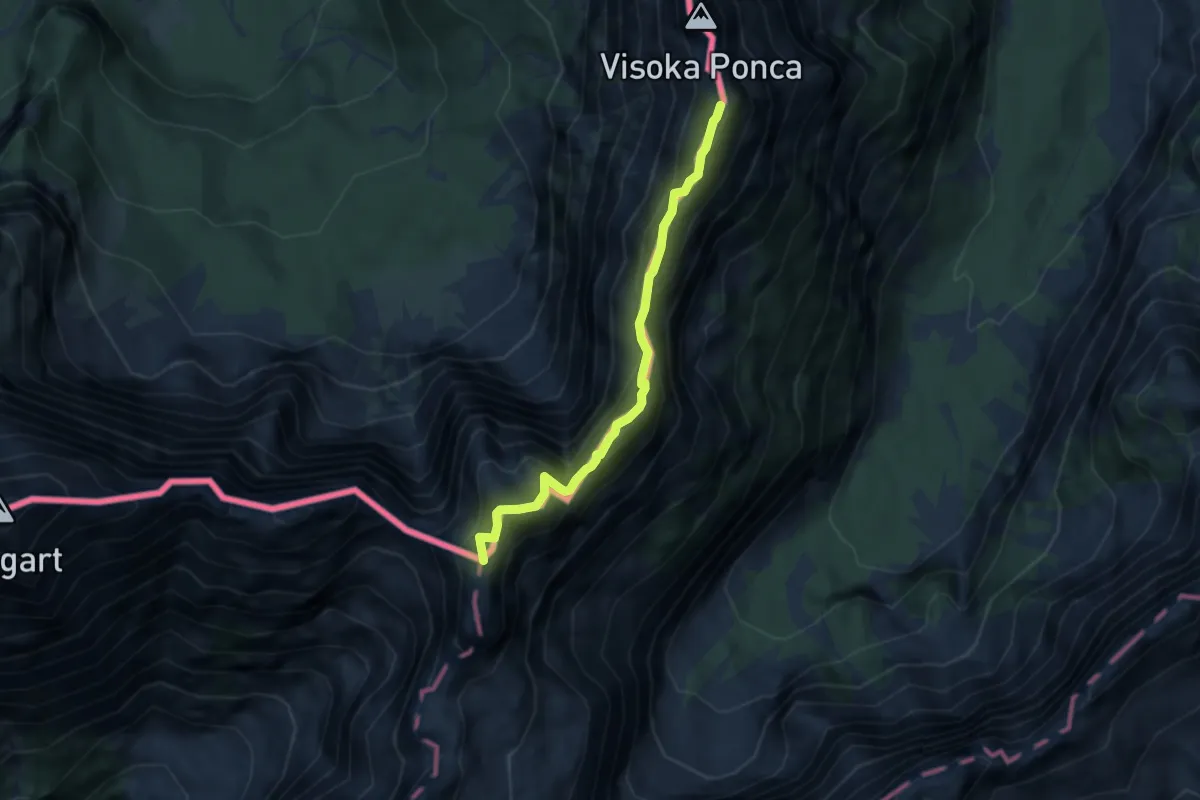
Expert · Summit
Via degli Alpini
5.7 km · ↑ 429 m · 2 h 17 min · 10 km away
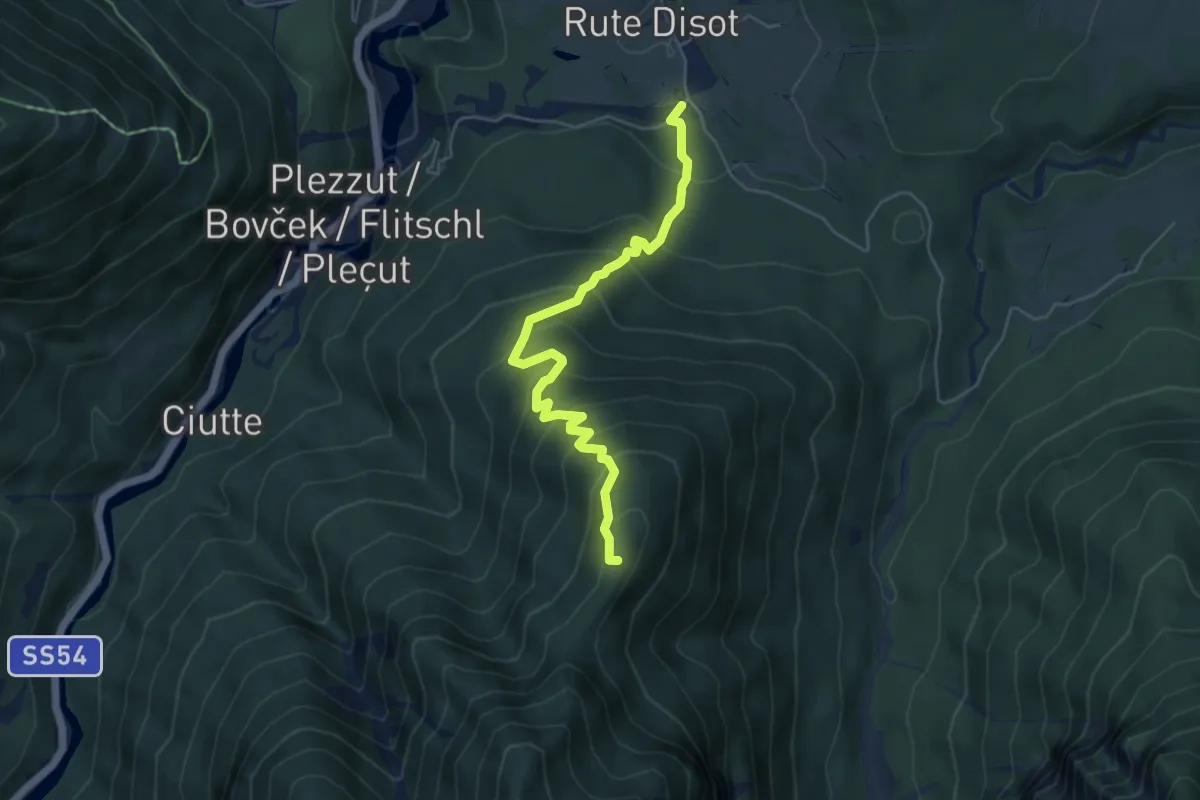
Medium · Summit
Rutte Piccolo (quota 820 m) – Val Romana (quota 915 m)
5.3 km · ↑ 490 m · 2 h 18 min · 10 km away
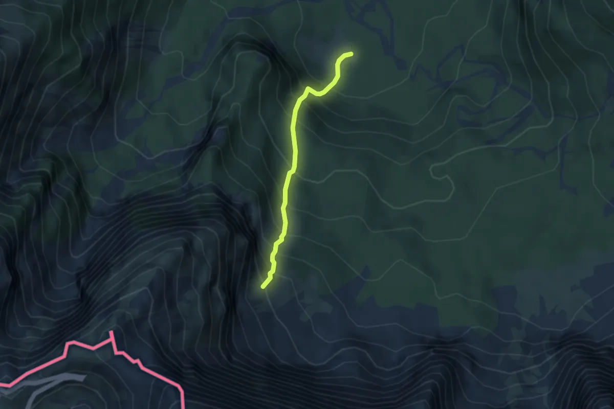
Demanding · Trail
Alpe Tamer Bivio sentiero n. 513 (quota 1010 m) – Alpe Traunig Bivio sentiero n. 517 (quota 1475 m)
3.1 km · ↑ 492 m · 1 h 47 min · 10 km away
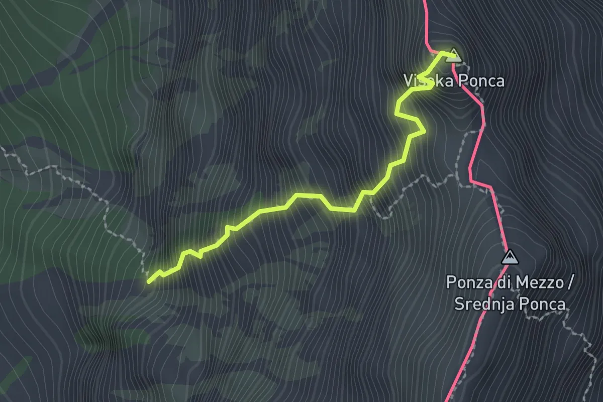
Expert · Summit
via ferrata Ponza Grande
2.0 km · ↑ 666 m · 1 h 55 min · 10 km away
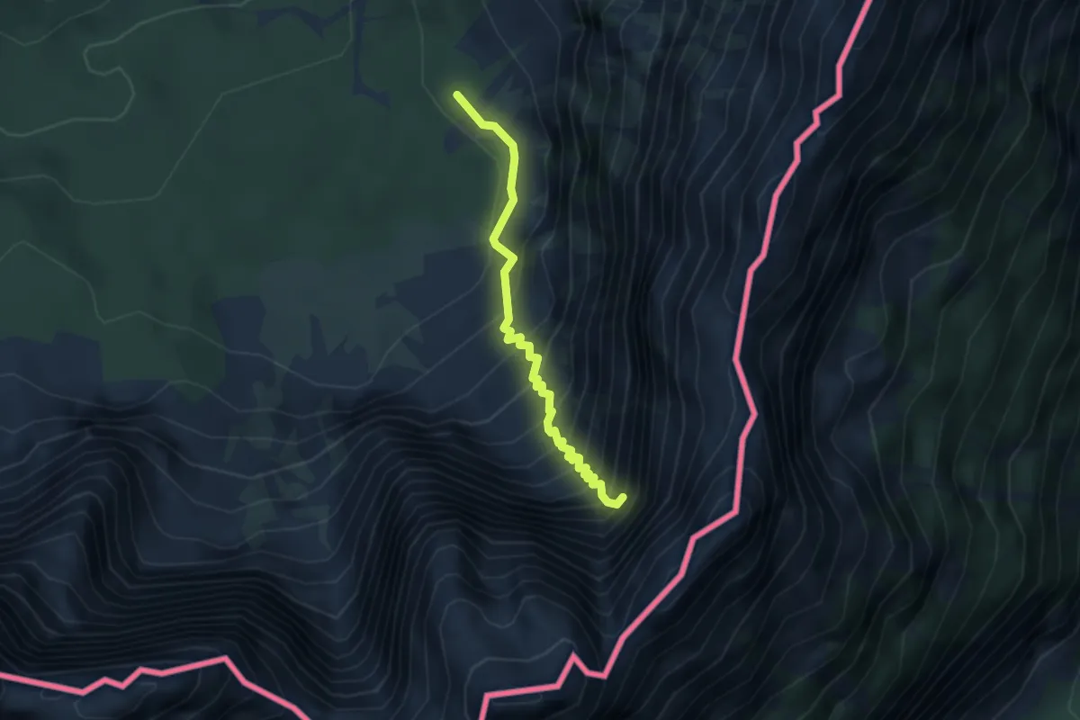
Demanding · Trail
Bivio sentiero n. 513 (quota 1355 m) – Attacco via ferrata “Kugy alla Strugova” (quota 1800 m)
3.1 km · ↑ 633 m · 2 h 7 min · 11 km away
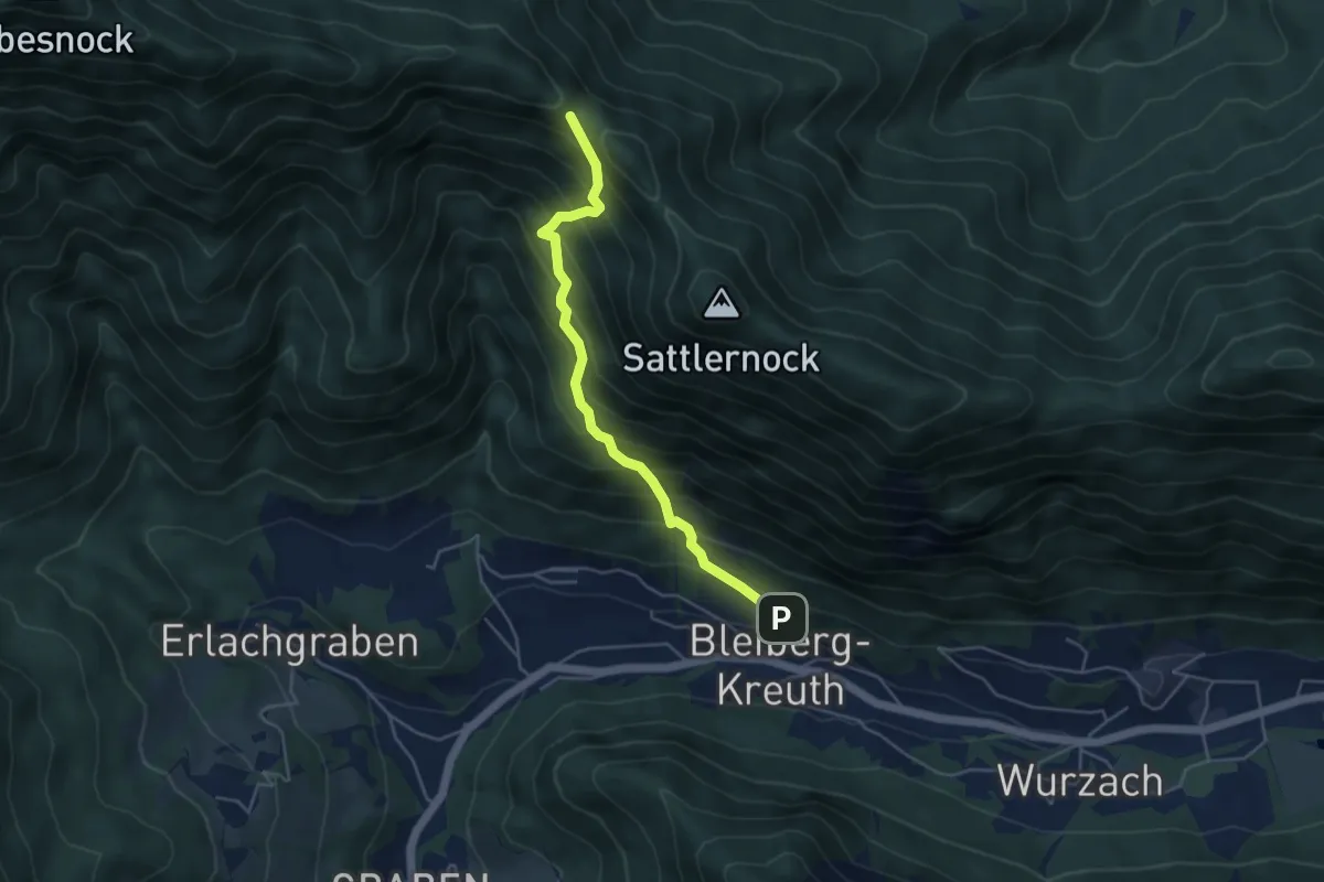
Demanding · Trail
12 Bleiberg Kreuth - Kobesnock
4.4 km · ↑ 583 m · 2 h 18 min · 11 km away
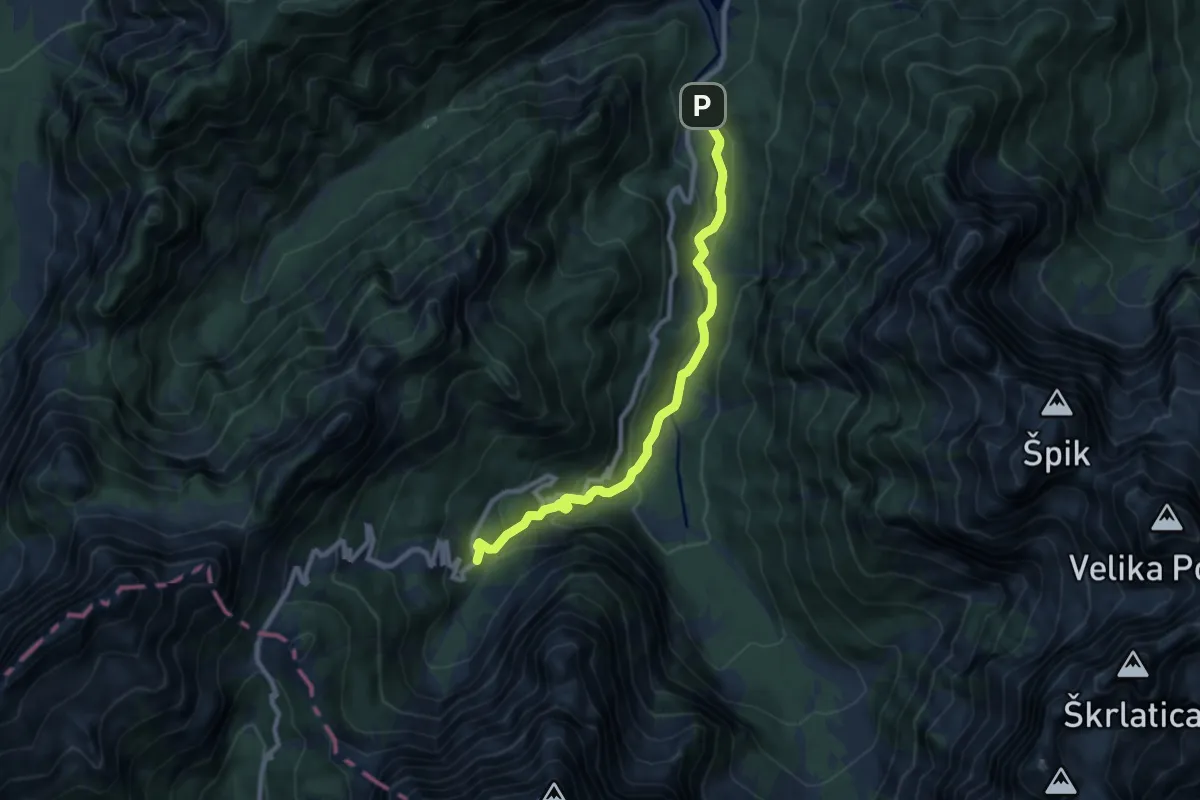
Medium · Cabin
stara vršiška cesta
8.8 km · ↑ 477 m · 3 h 6 min · 11 km away
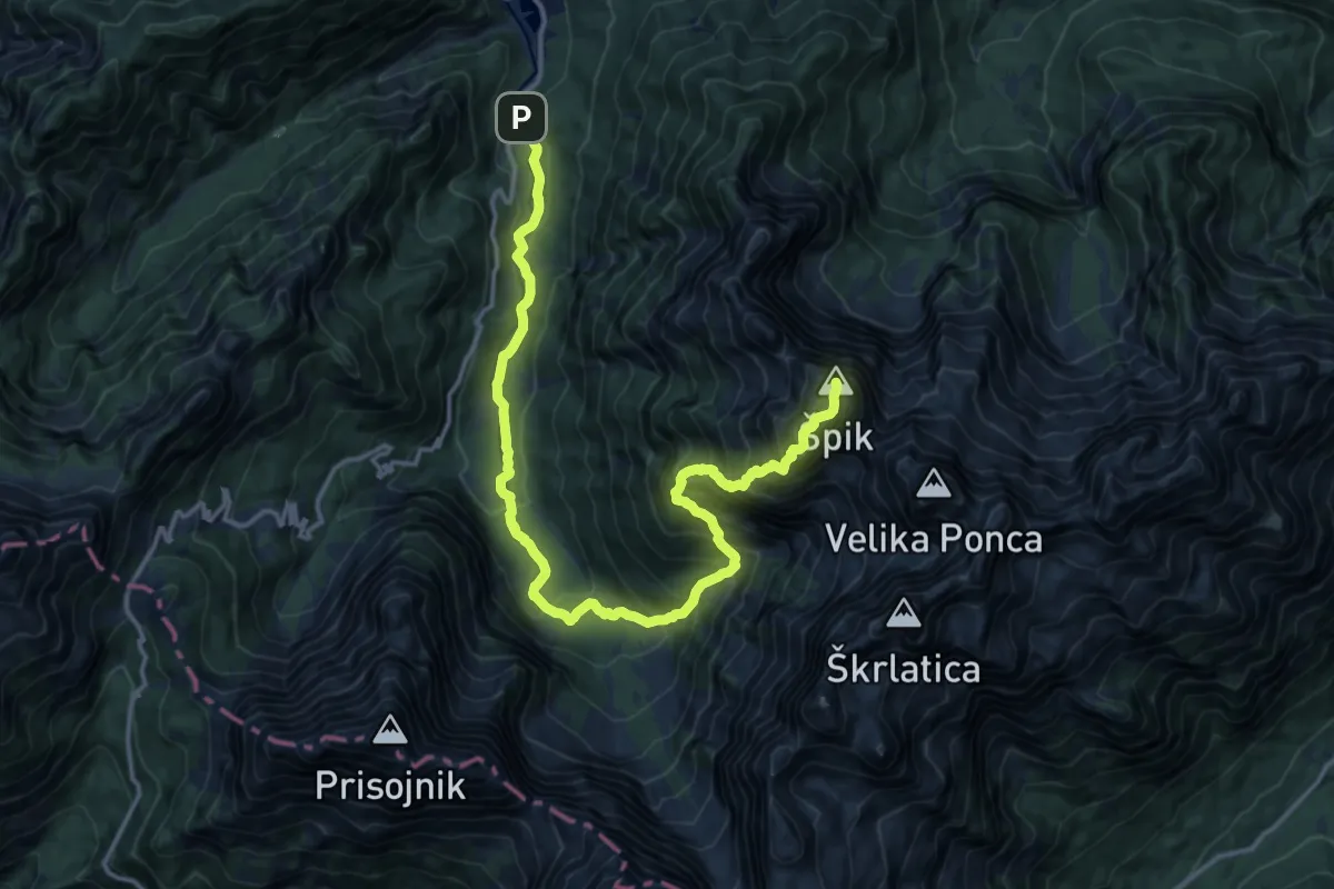
Expert · Summit
Pišnica - Koča v Krnici - Špik
18.0 km · ↑ 1643 m · 7 h 49 min · 11 km away
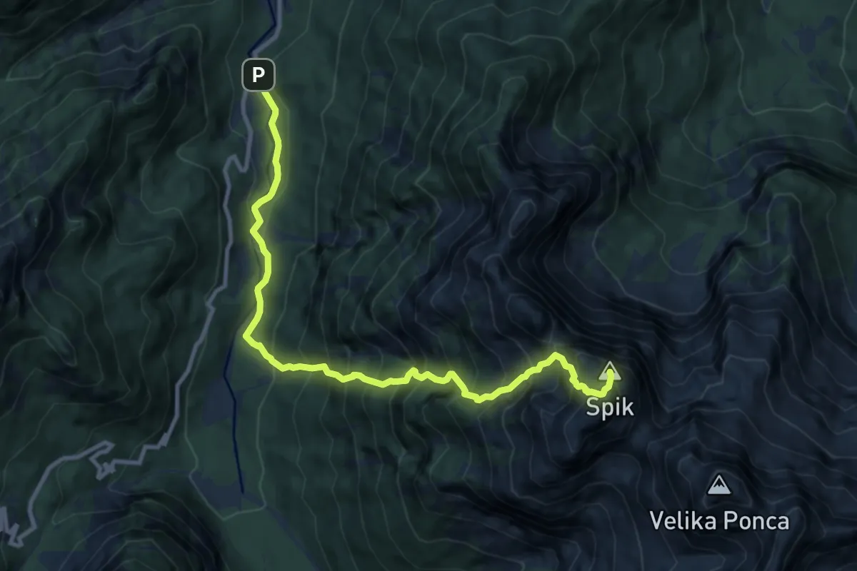
Expert · Summit
Pišnica - Kačji graben - Špik
10.6 km · ↑ 1571 m · 5 h 54 min · 11 km away
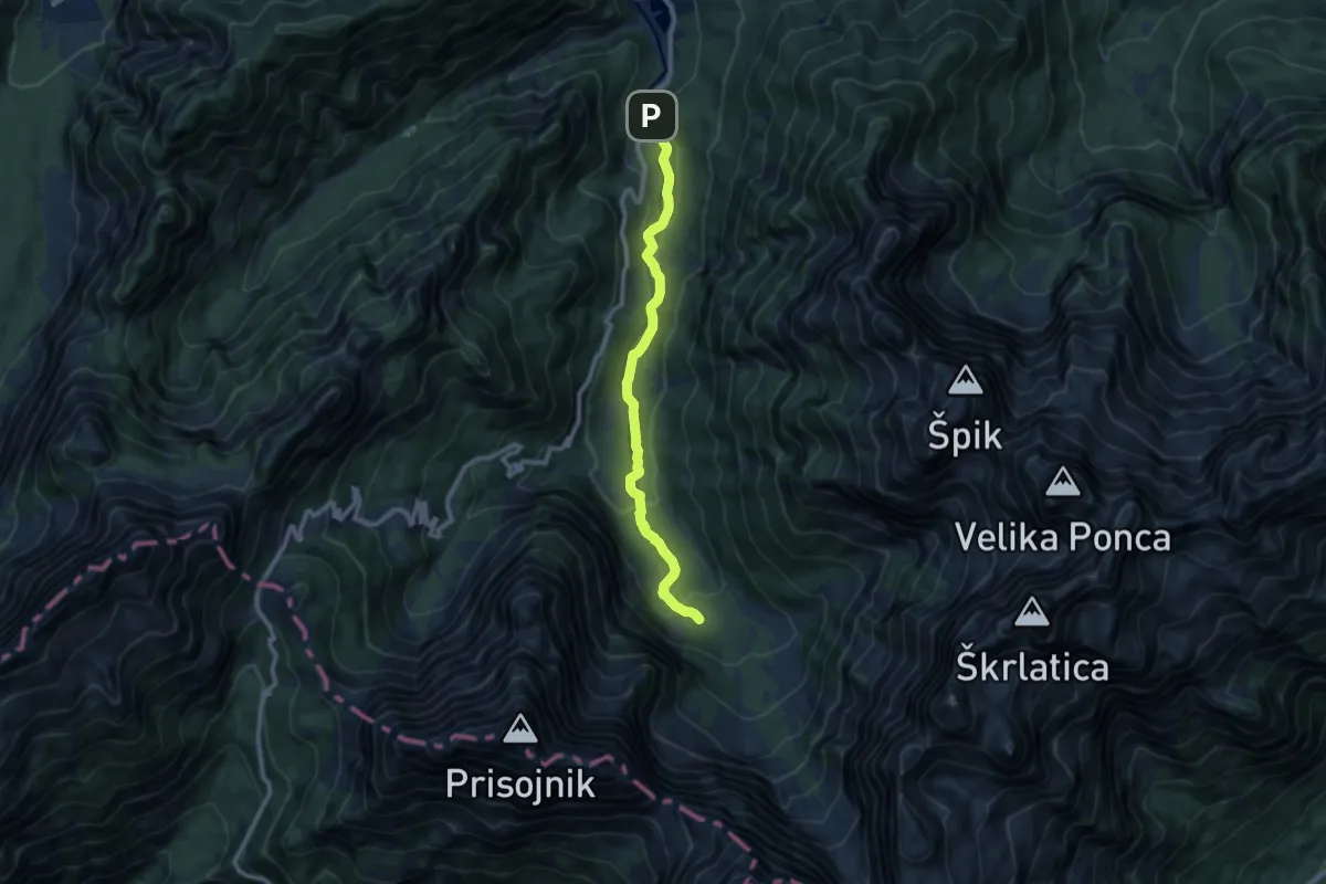
Medium · Cabin
Pišnica - Koča v Krnici
9.1 km · ↑ 335 m · 2 h 52 min · 11 km away
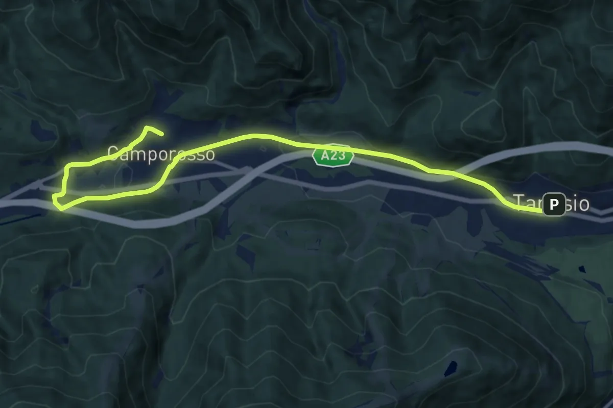
Medium · Trail
Romea Strata in Italia - Tappa RSIT01
12.7 km · ↑ 115 m · 3 h 15 min · 11 km away
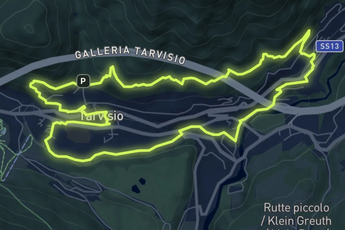
Medium · Trail
Urban Nature trekking biodiversità
7.8 km · ↑ 317 m · 2 h 38 min · 11 km away
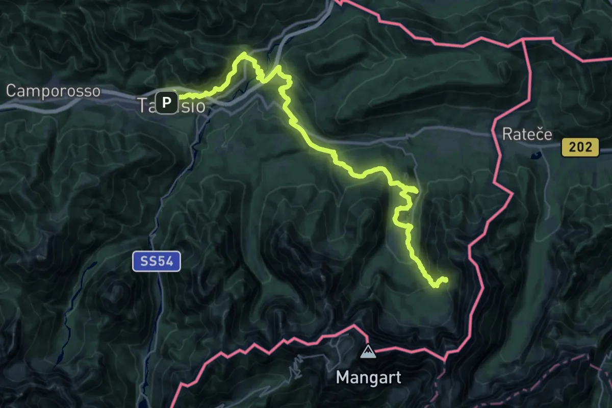
Demanding · Cabin
Alpe Adria Trail R5
18.8 km · ↑ 1194 m · 6 h 59 min · 11 km away
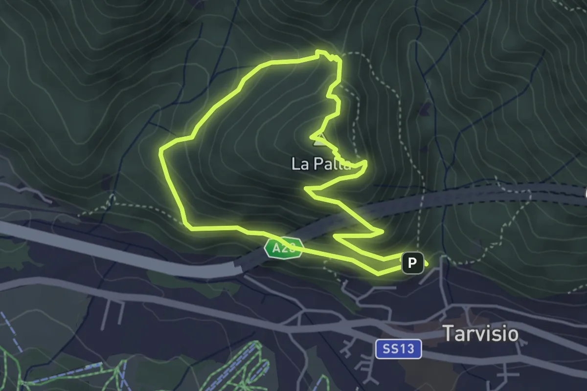
Medium · Summit
Lynx Trail
3.8 km · ↑ 250 m · 1 h 30 min · 11 km away
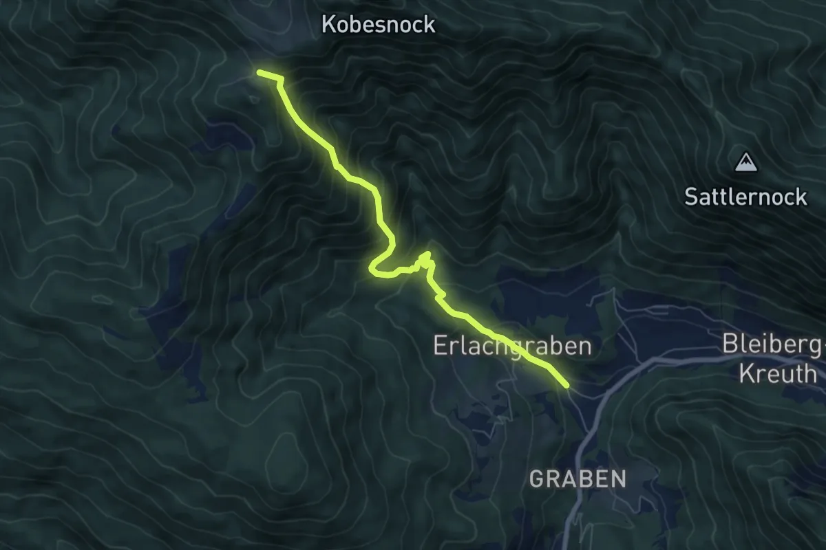
Demanding · Cabin
Wanderweg 298
6.7 km · ↑ 717 m · 3 h 9 min · 11 km away
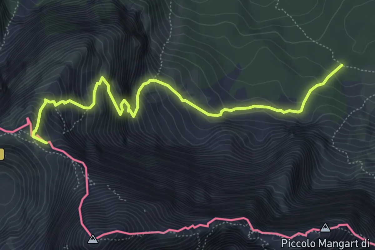
Demanding · Summit
Alpe Vecchia Bivio sentiero n. 513 (quota 1307 m) – Forcella Mangart (quota 2166 m)
6.5 km · ↑ 885 m · 3 h 27 min · 11 km away
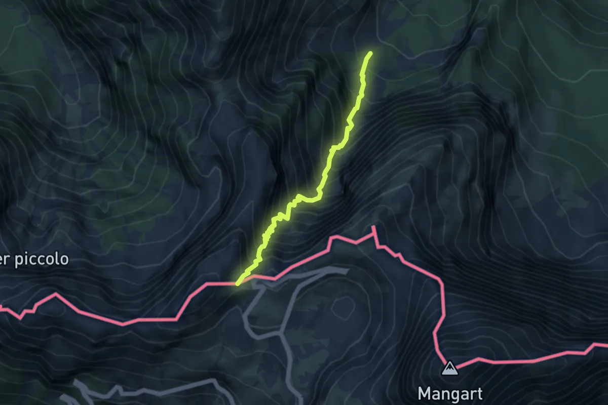
Demanding · Trail
Alpe del Lago (quota 1025 m) – Forcella della Lavina (quota 2055 m)
3.9 km · ↑ 777 m · 2 h 36 min · 11 km away
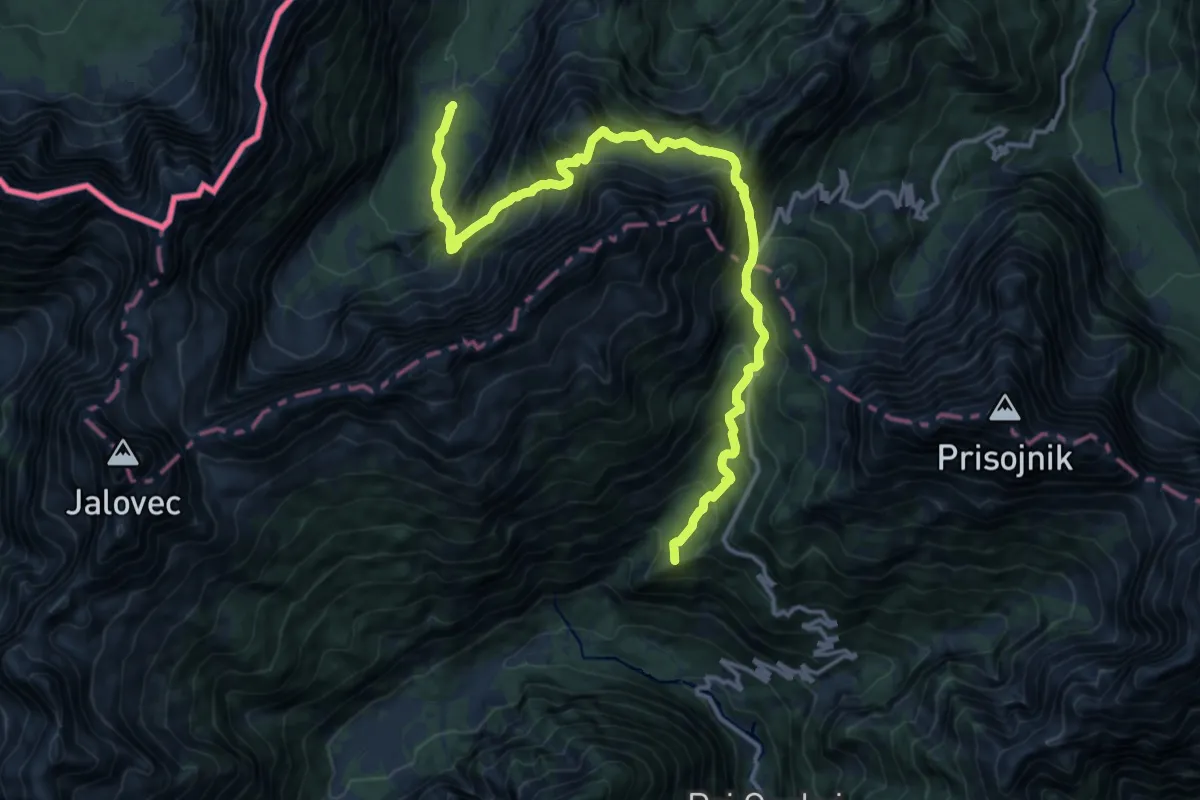
Demanding · Summit
Via Alpina Red R14
16.0 km · ↑ 1659 m · 7 h 22 min · 11 km away
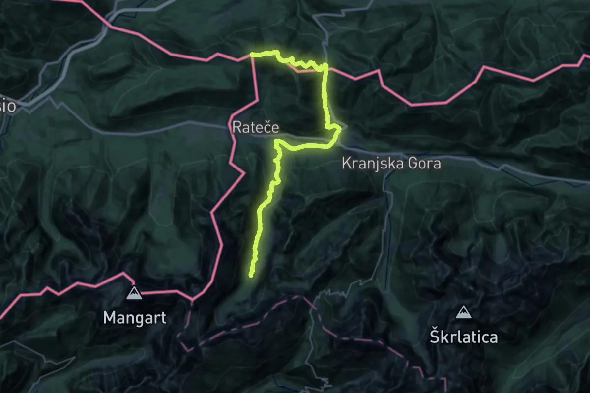
Demanding · Summit
Via Alpina Red R15
32.4 km · ↑ 1168 m · 10 h 10 min · 11 km away
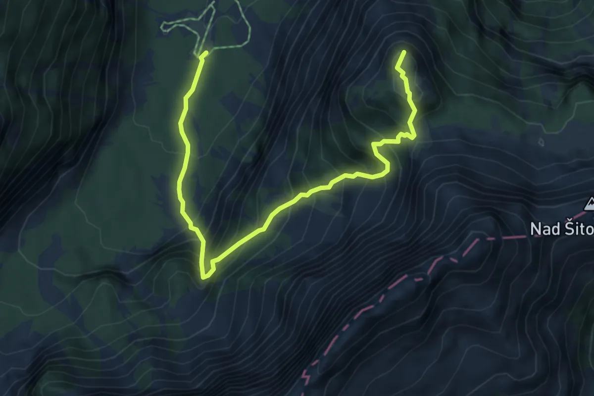
Demanding · Summit
Tamar - Črne vode - Slemenova špica
6.5 km · ↑ 874 m · 3 h 26 min · 11 km away
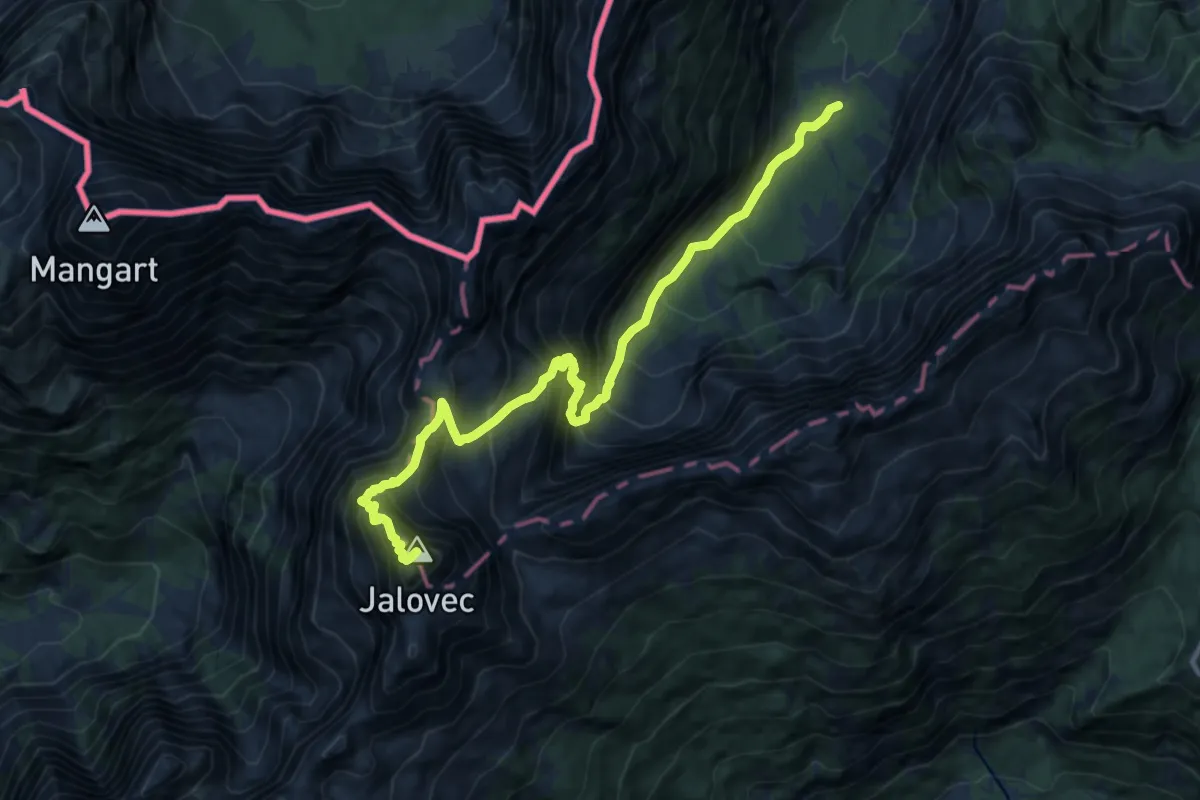
Expert · Summit
Tamar - Kotovo sedlo - Jalovec
11.8 km · ↑ 1659 m · 6 h 23 min · 11 km away
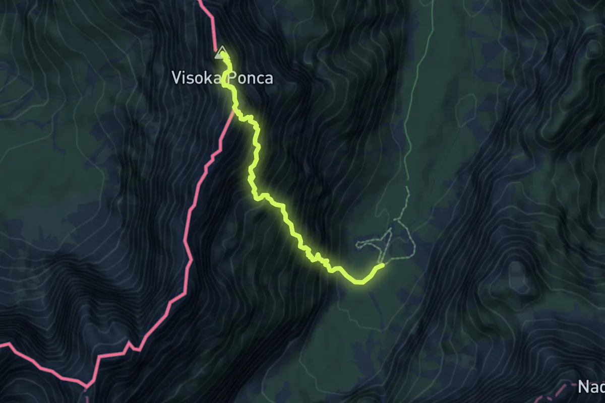
Expert · Summit
Tamar - Srednja Ponca - Visoka Ponca
6.2 km · ↑ 1265 m · 4 h 12 min · 11 km away
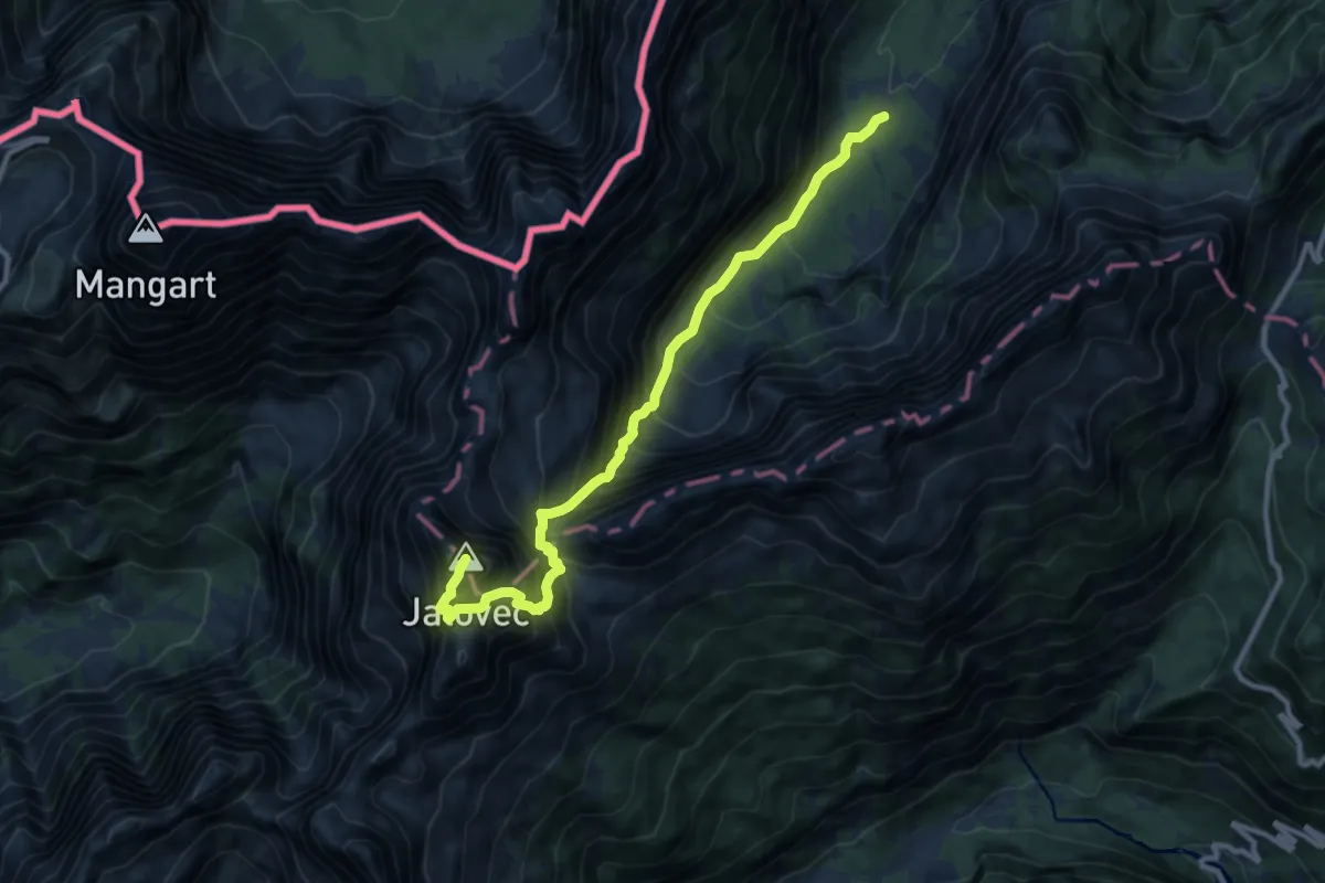
Expert · Summit
Tamar - Jalovška škrbina - Jalovec
10.8 km · ↑ 1602 m · 6 h 1 min · 11 km away
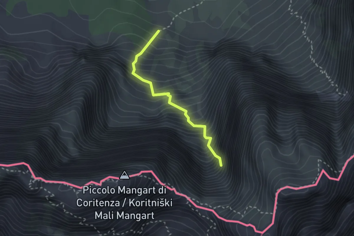
Demanding · Trail
Sentiero “Via della Vita”
2.2 km · ↑ 598 m · 1 h 49 min · 12 km away
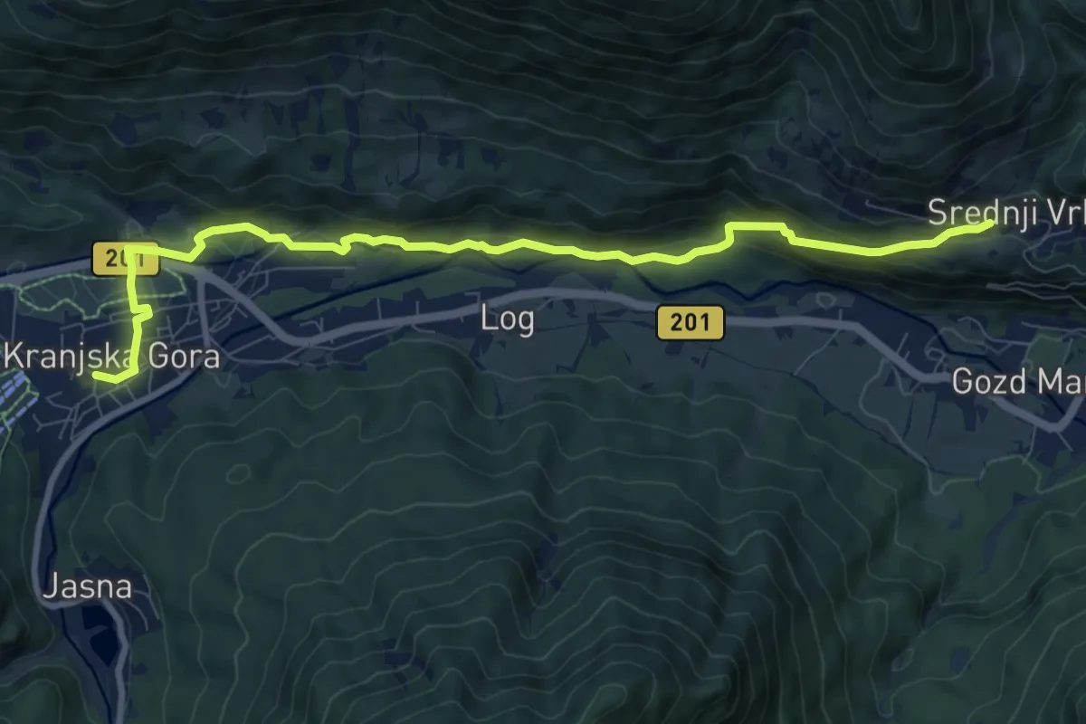
Medium · Trail
Čičare to Srednji Vrh 19
9.9 km · ↑ 352 m · 3 h 6 min · 12 km away
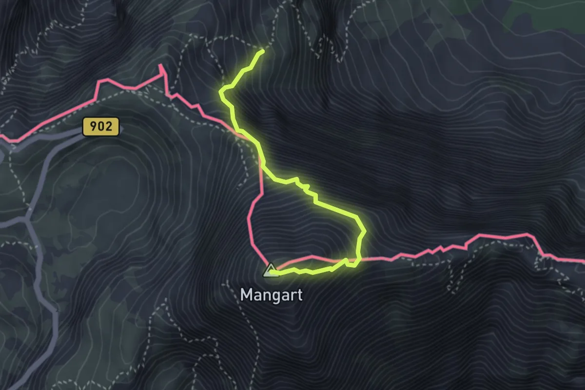
Expert · Summit
Via Italiana al Monte Mangart
3.3 km · ↑ 755 m · 2 h 24 min · 12 km away
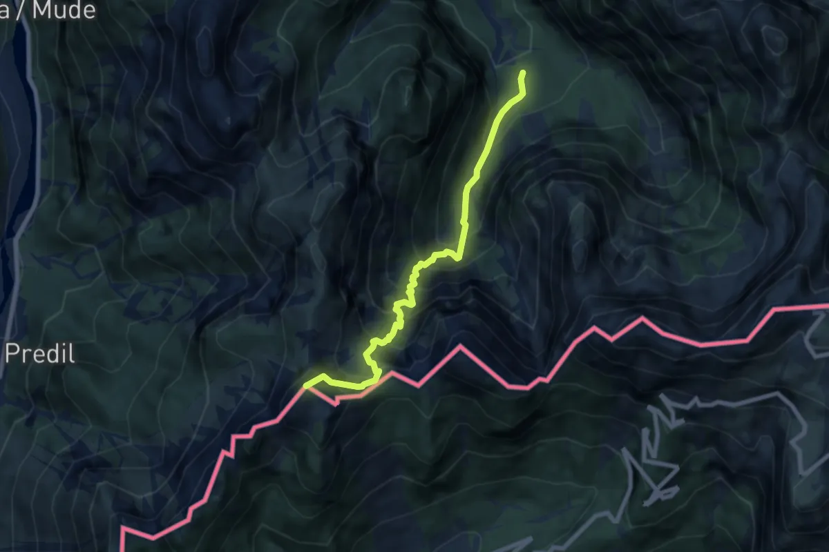
Demanding · Summit
Val Romana (quota 854 m) – Cave del Predil (quota 900 m)
6.6 km · ↑ 903 m · 3 h 31 min · 12 km away
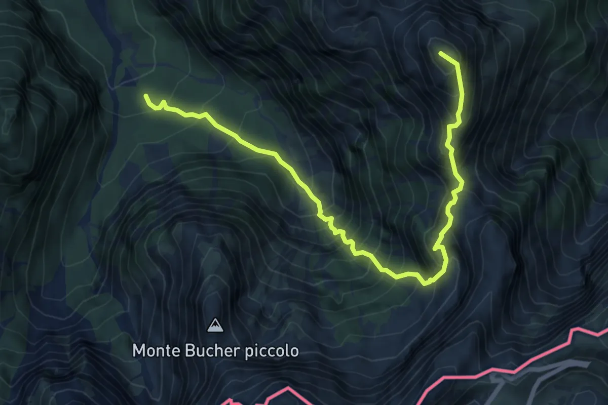
Expert · Summit
Val Romana (quota 980 m) – Bivio sentiero n. 515 (quota 1950 m)
7.4 km · ↑ 1230 m · 4 h 24 min · 12 km away
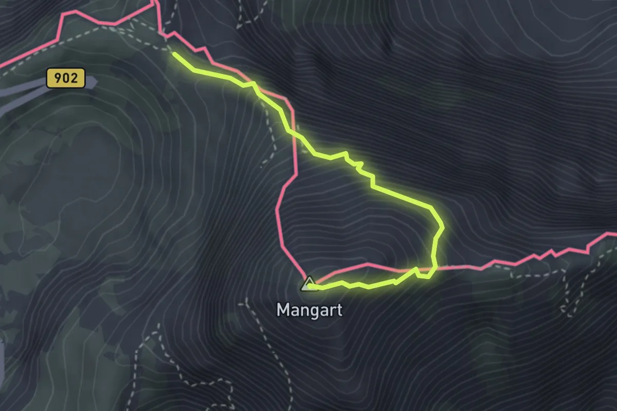
Expert · Summit
Mangart (Italijanska pot)
2.9 km · ↑ 504 m · 1 h 47 min · 12 km away
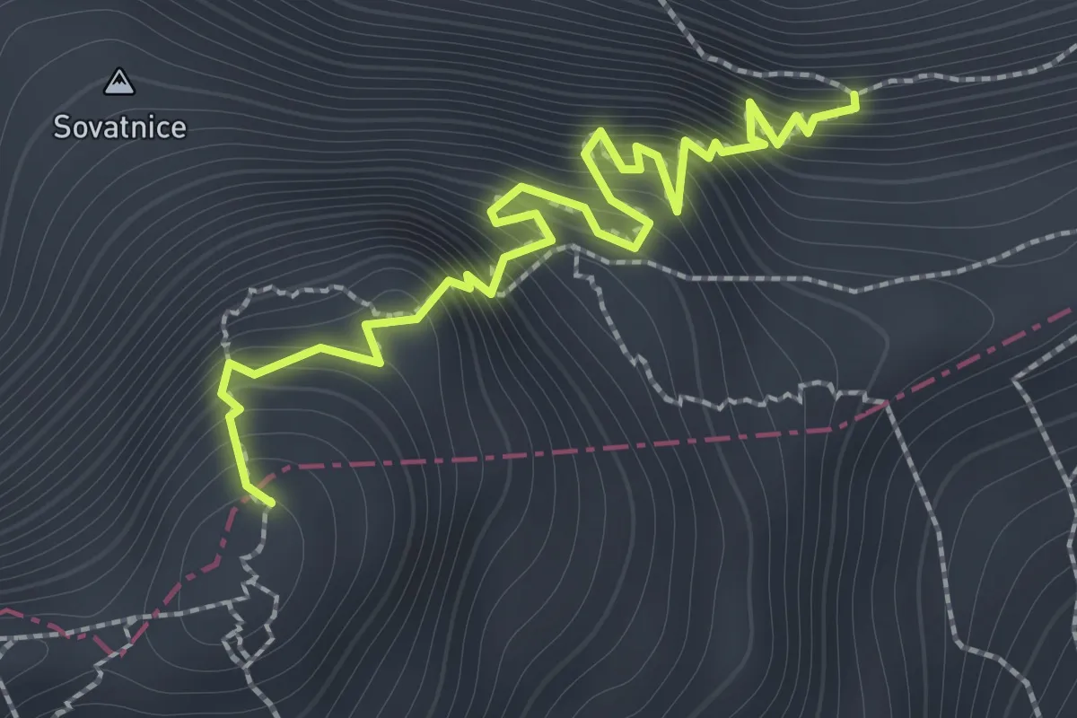
Expert · Summit
Hanzova pot
1.9 km · ↑ 389 m · 1 h 17 min · 12 km away
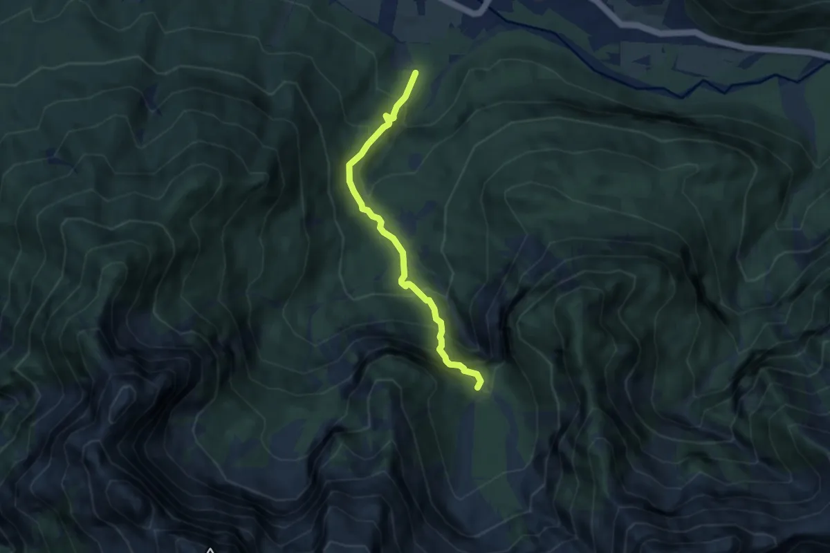
Demanding · Trail
Martuljek - Za Akom
5.8 km · ↑ 628 m · 2 h 44 min · 12 km away
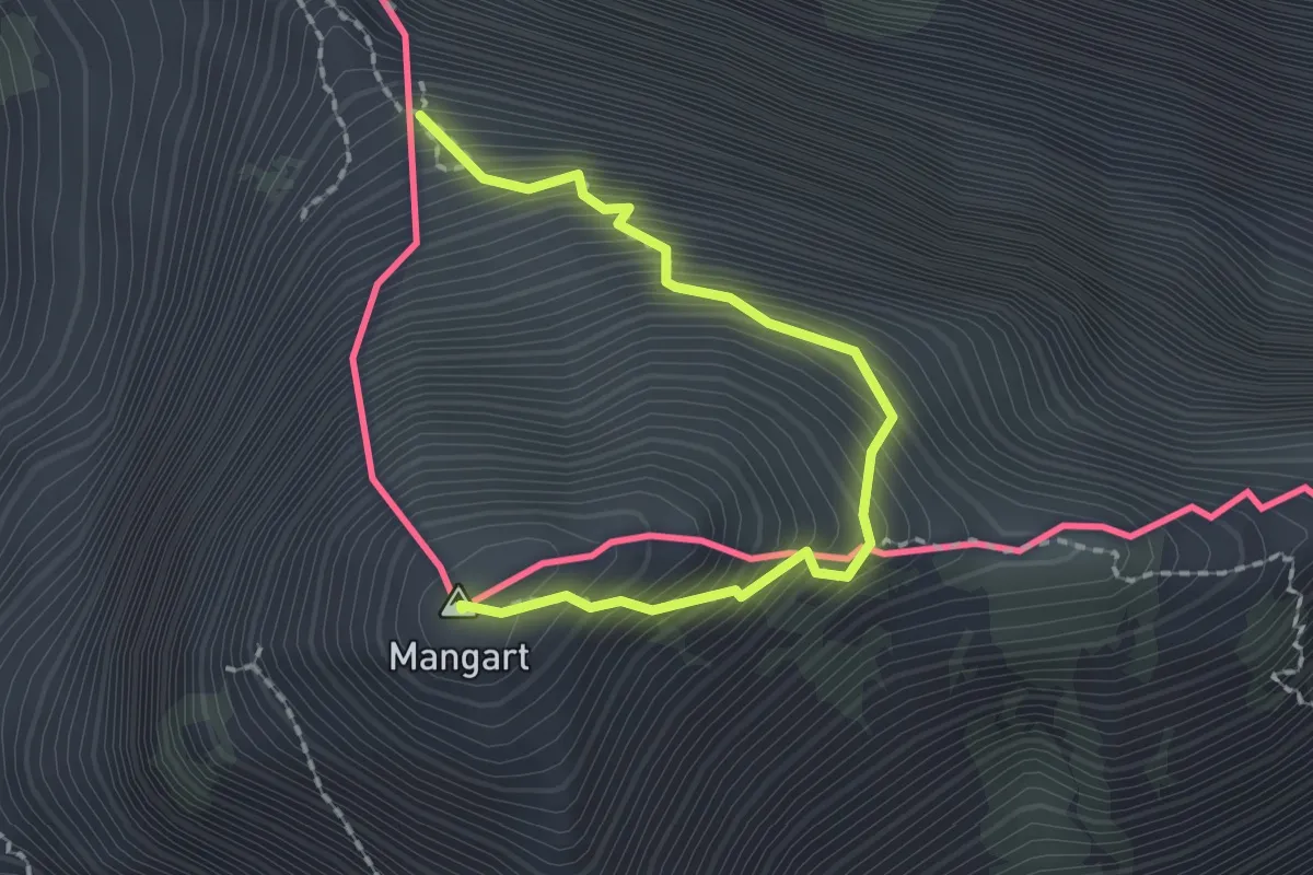
Demanding · Summit
fine ferrata italiana (quota 2283 m) – Monte Mangart (quota 2679 m)
2.1 km · ↑ 384 m · 1 h 19 min · 12 km away
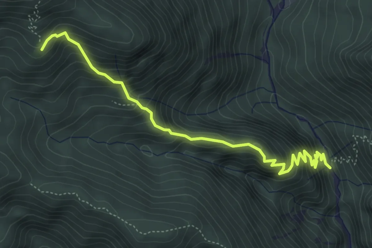
Medium · Trail
Val Bartolo (quota 935 m) – Cima Muli (quota 1495 m)
5.3 km · ↑ 515 m · 2 h 22 min · 13 km away
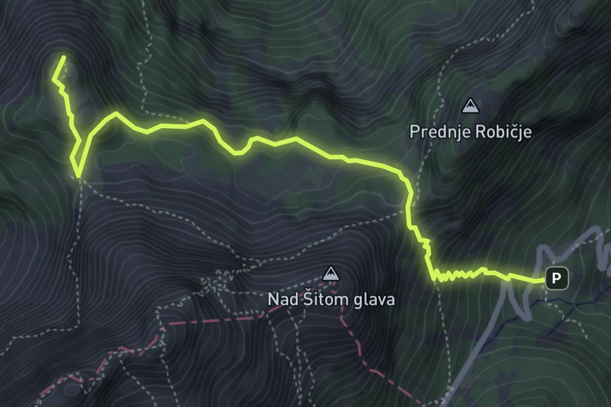
Medium · Summit
Erjavčeva koča - Slemenova špica
5.8 km · ↑ 645 m · 2 h 46 min · 13 km away
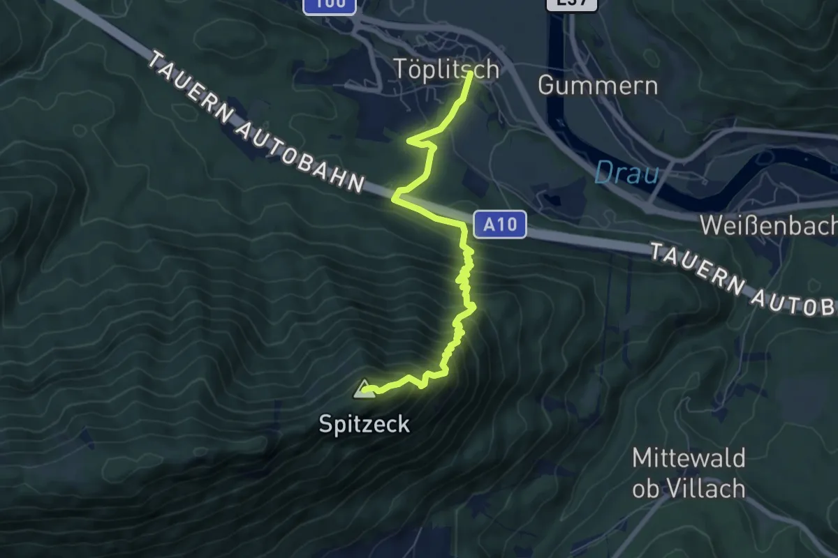
Demanding · Summit
Wanderweg 288B
7.2 km · ↑ 847 m · 3 h 32 min · 13 km away
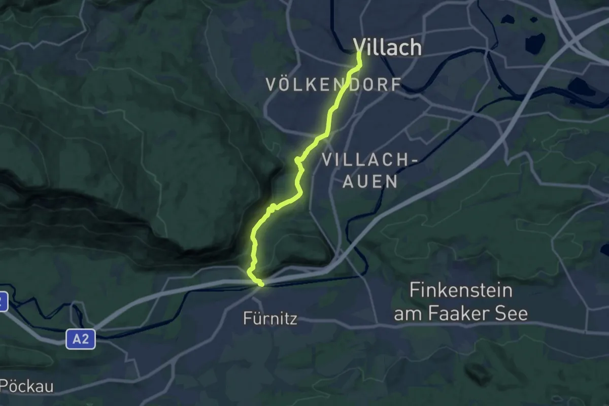
Medium · Trail
Salzsteigweg 209
13.7 km · ↑ 193 m · 3 h 39 min · 13 km away
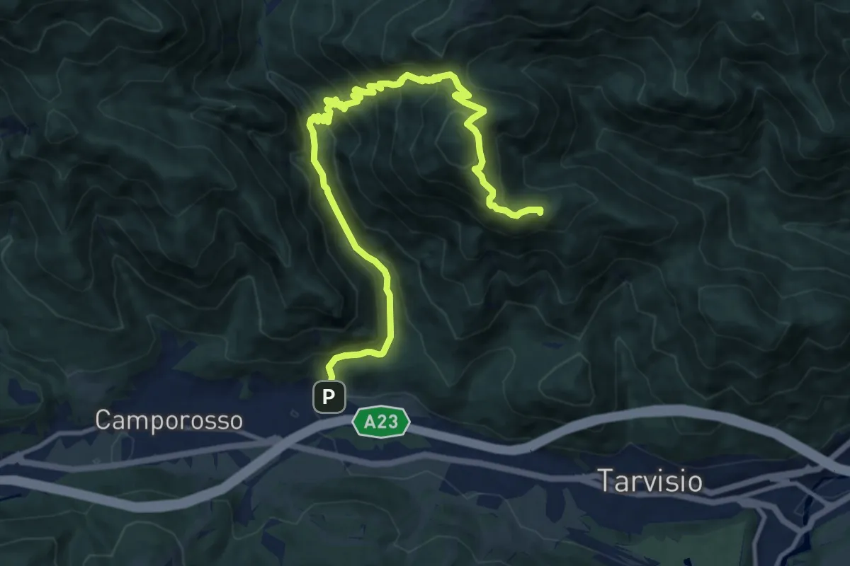
Demanding · Summit
Tarvisio Centrale Località San Michele (quota 774 m) – Rutte di Camporosso (quota 800 m)
12.7 km · ↑ 938 m · 5 h 2 min · 13 km away
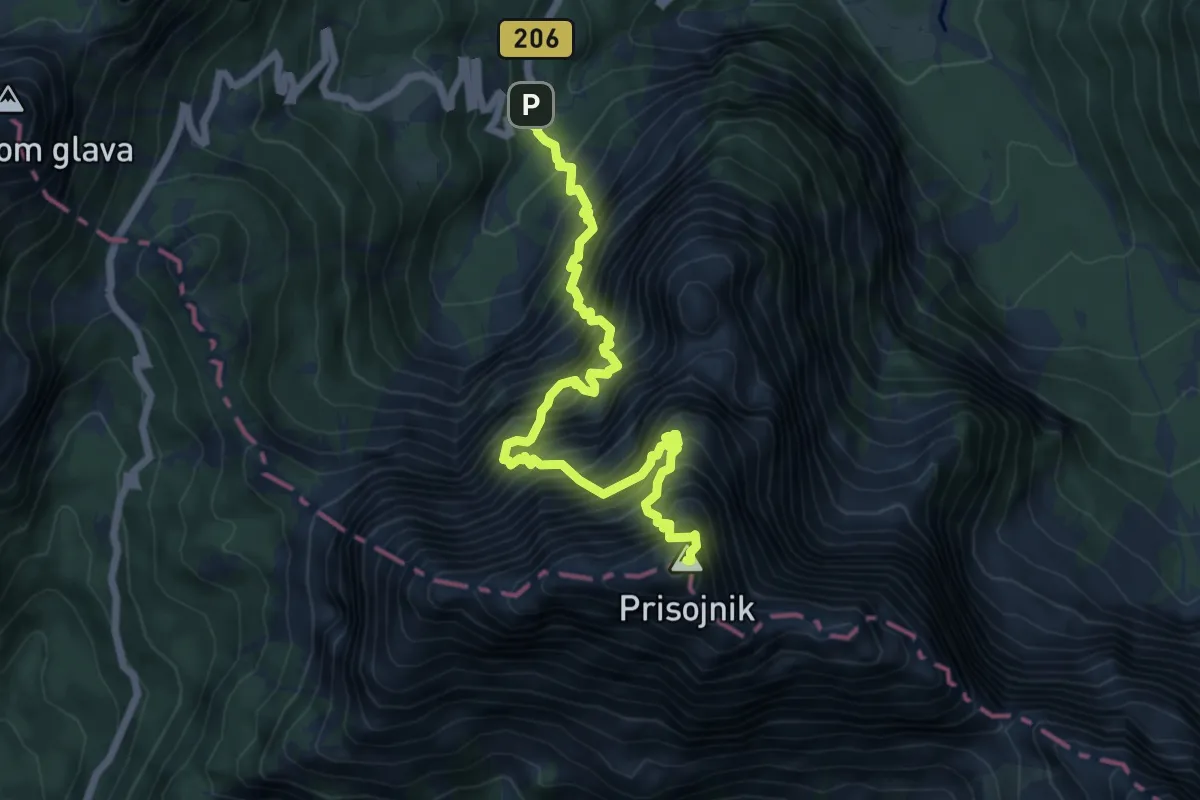
Expert · Summit
Hanzova pot
7.1 km · ↑ 2031 m · 6 h 4 min · 13 km away
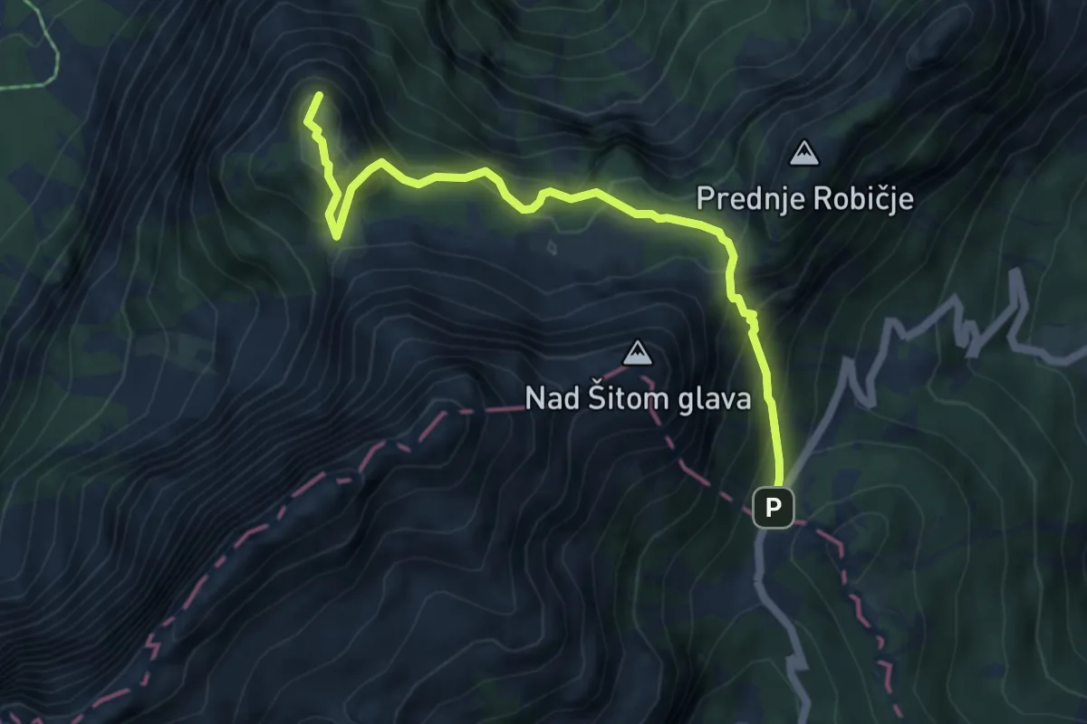
Medium · Summit
Vršič - Slemenova špica
5.5 km · ↑ 514 m · 2 h 25 min · 13 km away
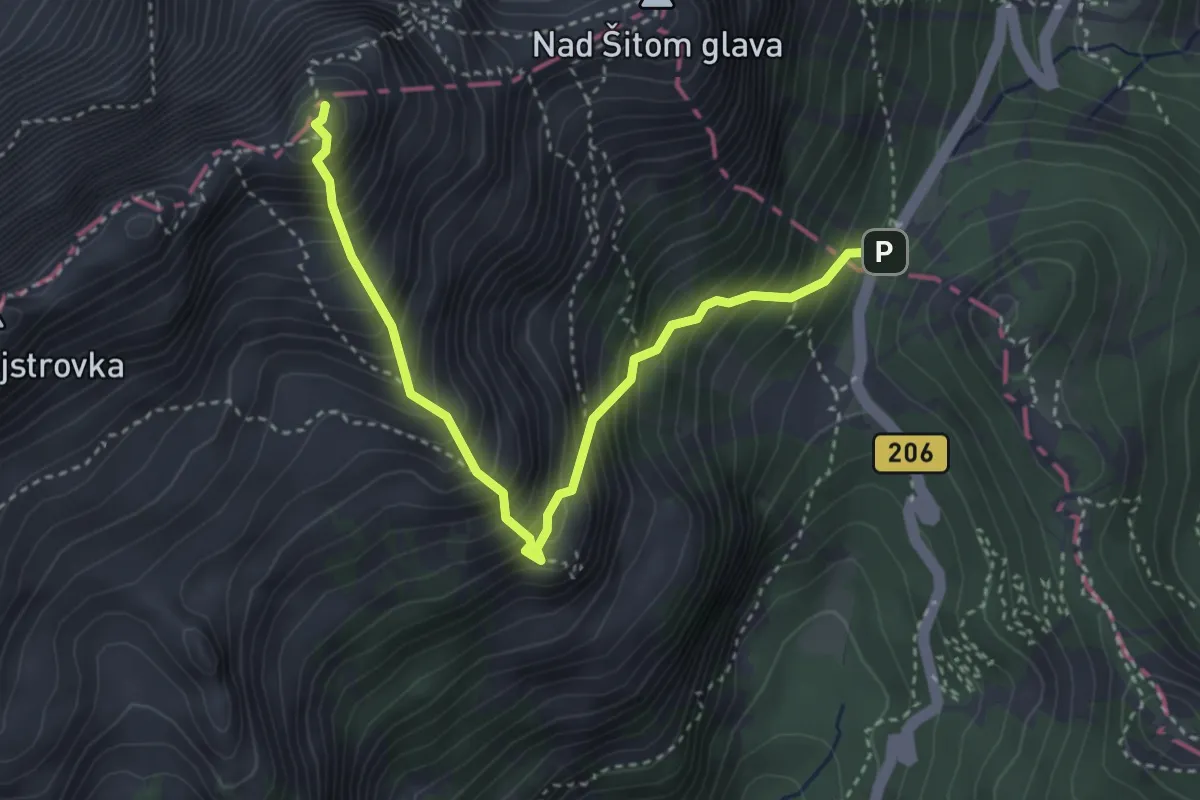
Demanding · Summit
Vršič - Mala Mojstrovka
3.8 km · ↑ 707 m · 2 h 26 min · 13 km away
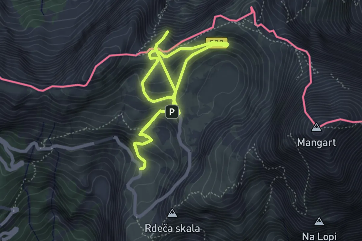
Medium · Summit
Učna pot Mangrt
4.3 km · ↑ 275 m · 1 h 38 min · 13 km away
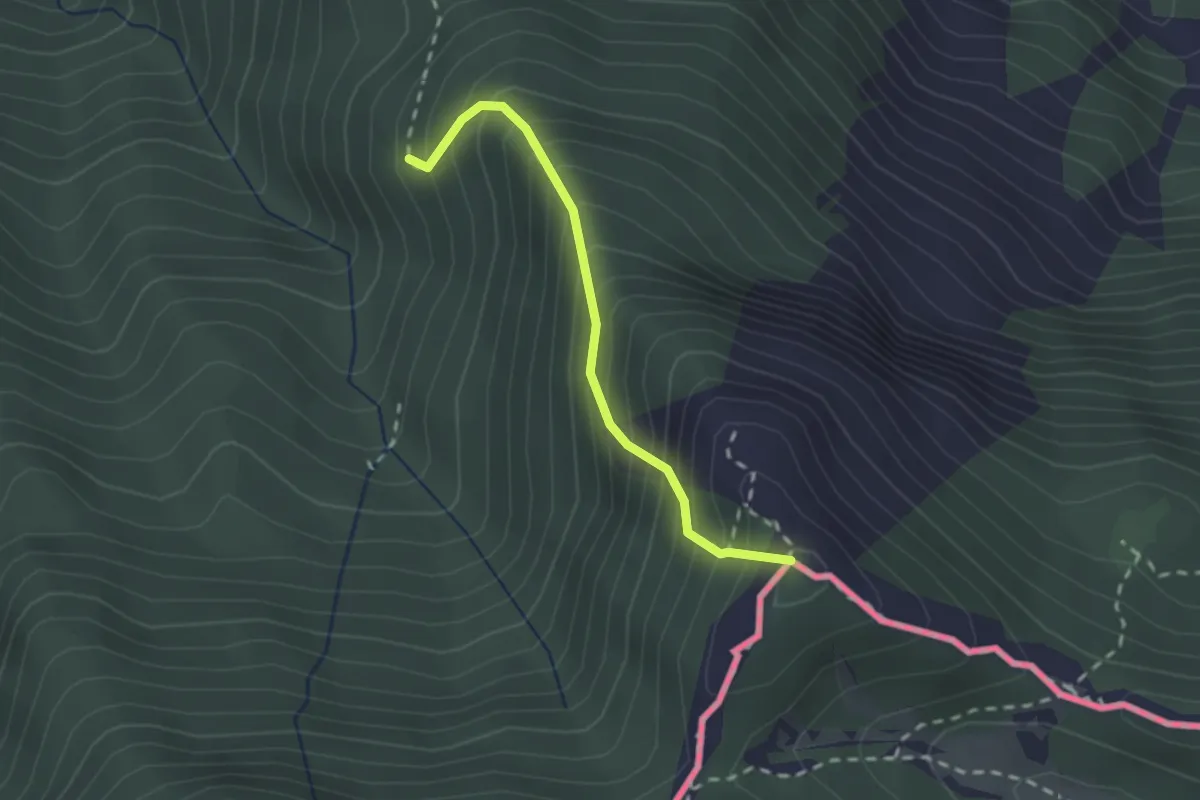
Demanding · Summit
Wanderweg 684 - Karawanken
2.0 km · ↑ 378 m · 1 h 17 min · 13 km away
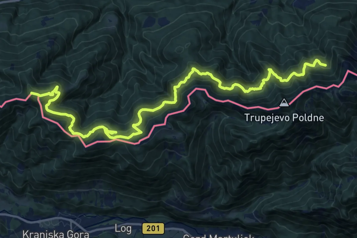
Demanding · Summit
Südalpenweg 03 - Etappe 16
26.9 km · ↑ 1006 m · 8 h 31 min · 13 km away
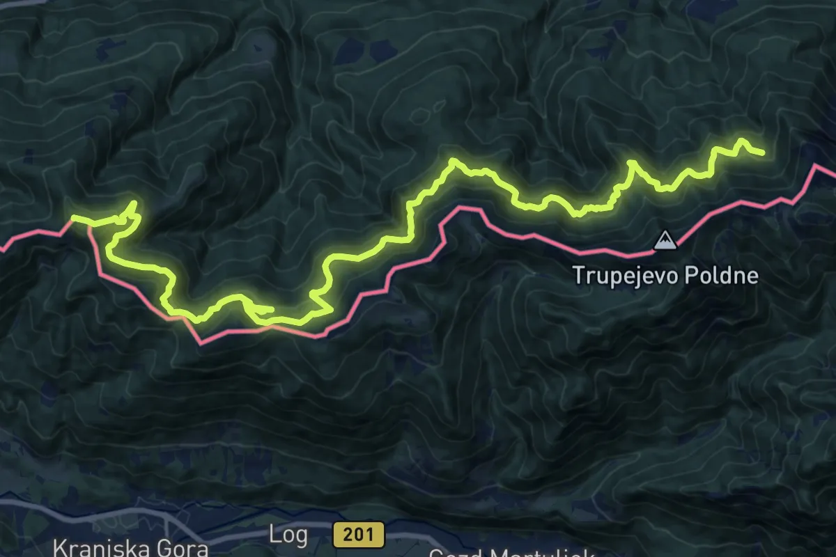
Demanding · Summit
Panoramaweg Südalpen 02
26.9 km · ↑ 1006 m · 8 h 31 min · 13 km away
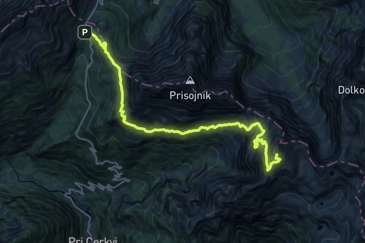
Expert · Summit
Vršič - Razor
15.1 km · ↑ 1914 m · 7 h 43 min · 13 km away