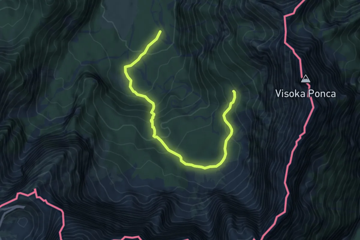
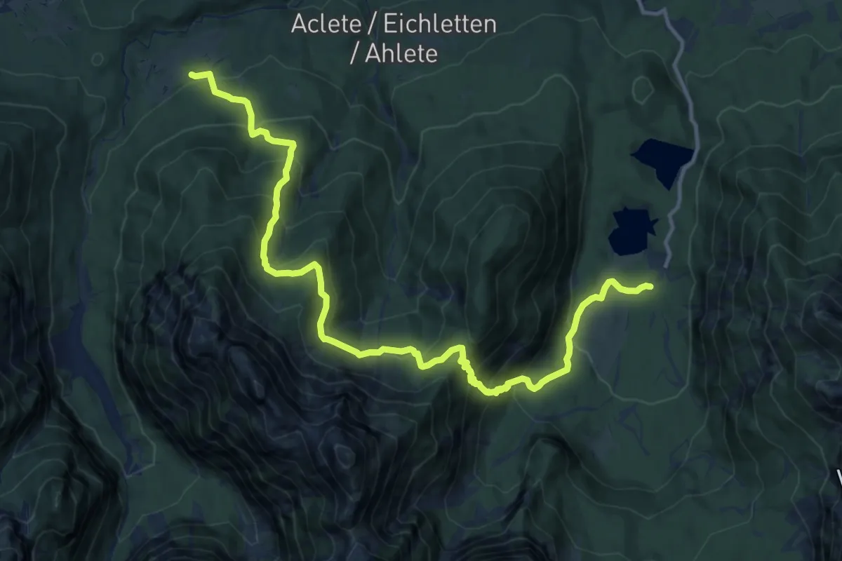
Demanding · Trail · Out & back
Alpe Tamer Bivio sentiero n. 513 (quota 1010 m) – Alpe Traunig Bivio sentiero n. 517 (quota 1475 m)
From Alpe Tamer Bivio sentiero n. 513 (quota 1010 m) to Alpe Traunig Bivio sentiero n. 517 (quota 1475 m) and back.
Map © OpenFreeMap © OpenMapTiles © OpenStreetMap · Trail © OpenStreetMap contributors
- Distance
- 3.1km
- Climb
- 492m
- Walking time
- 1 h 47 min
- Highest point
- 1501m
Elevation
↑ 492 m in all
About the trail
Alpe Tamer Bivio sentiero n. 513 (quota 1010 m) – Alpe Traunig Bivio sentiero n. 517 (quota 1475 m) is a demanding trail trail of 3.1 km there and back. You climb 492 m in all and reach 1501 m at the highest point. Most hikers need about 1 h 47 min without long breaks.
Getting there
Park at Alpe Tamer Bivio sentiero n. 513 (quota 1010 m).
46.46019° N, 13.66597° E
Open in Apple Maps