Trails near Tarvisio
167 hikes starting within 15 km, nearest first.
Nearest first, page 1 of 4
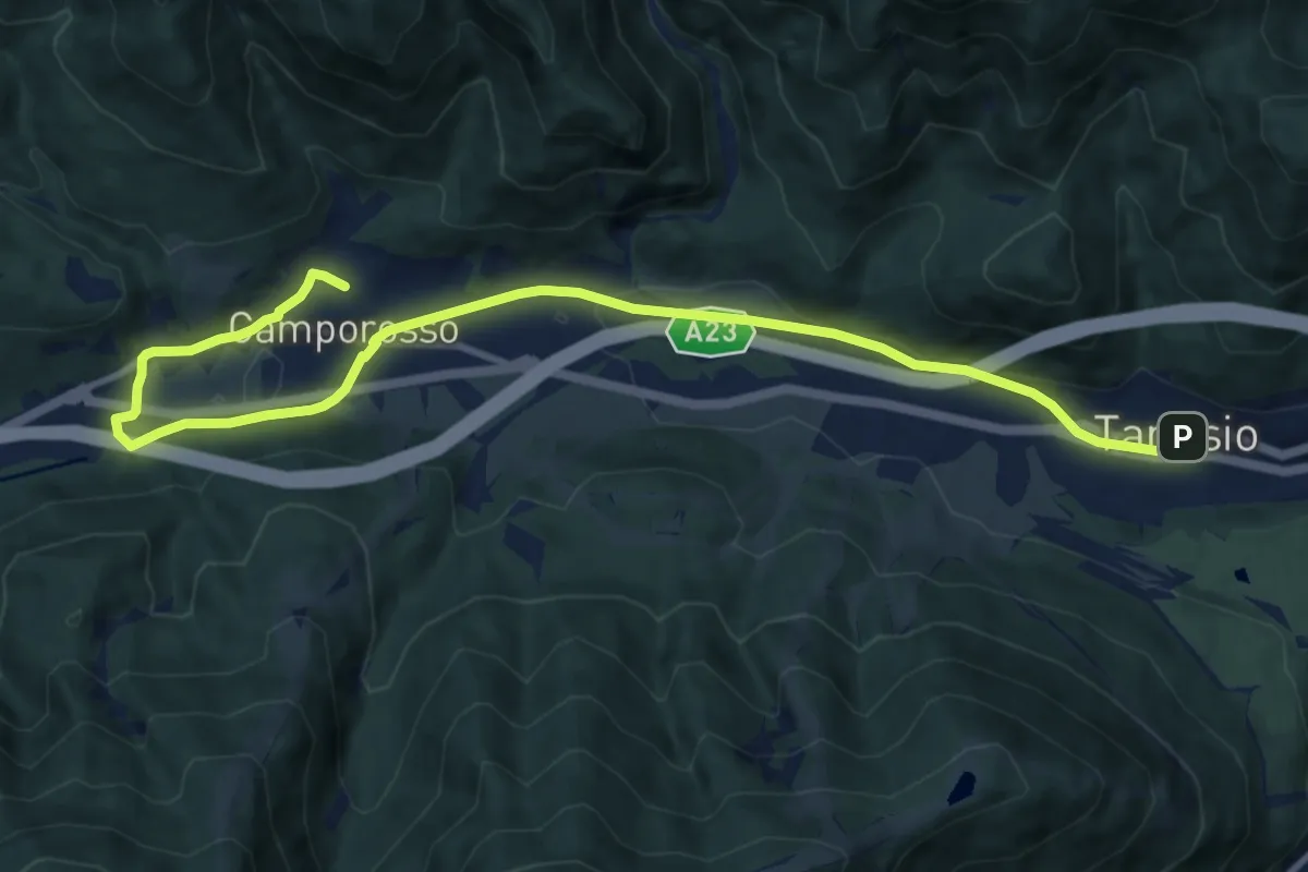
Medium · Trail
Romea Strata in Italia - Tappa RSIT01
12.7 km · ↑ 115 m · 3 h 15 min · under 1 km away
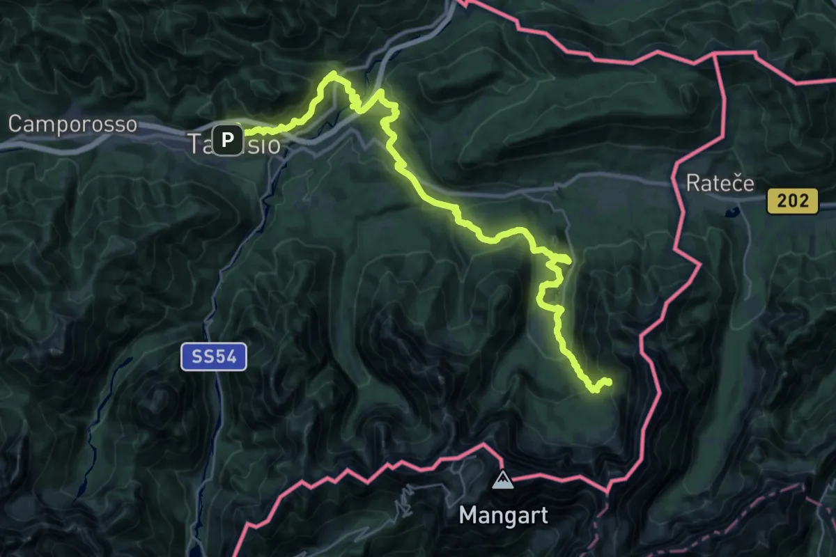
Demanding · Cabin
Alpe Adria Trail R5
18.8 km · ↑ 1194 m · 6 h 59 min · under 1 km away
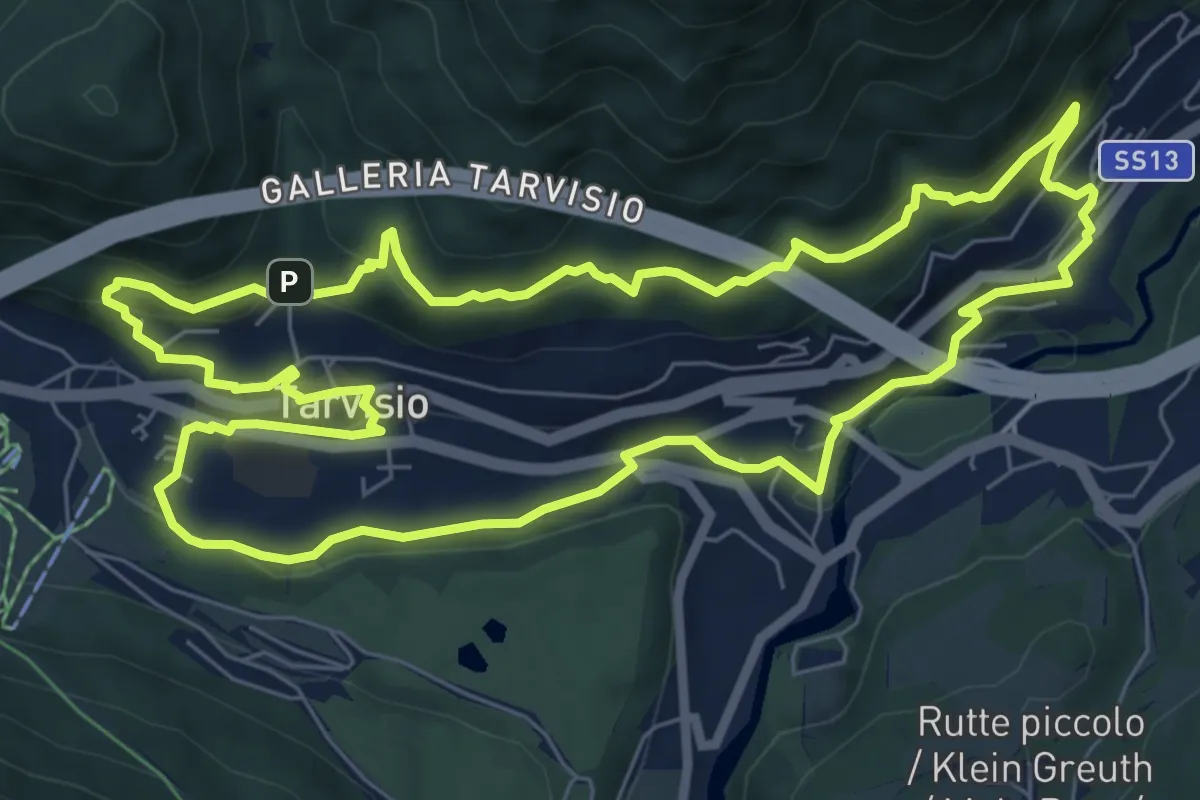
Medium · Trail
Urban Nature trekking biodiversità
7.8 km · ↑ 317 m · 2 h 38 min · under 1 km away
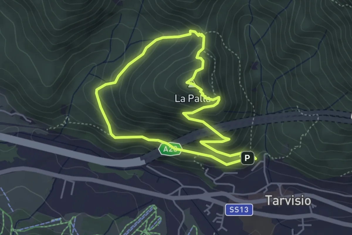
Medium · Summit
Lynx Trail
3.8 km · ↑ 250 m · 1 h 30 min · under 1 km away
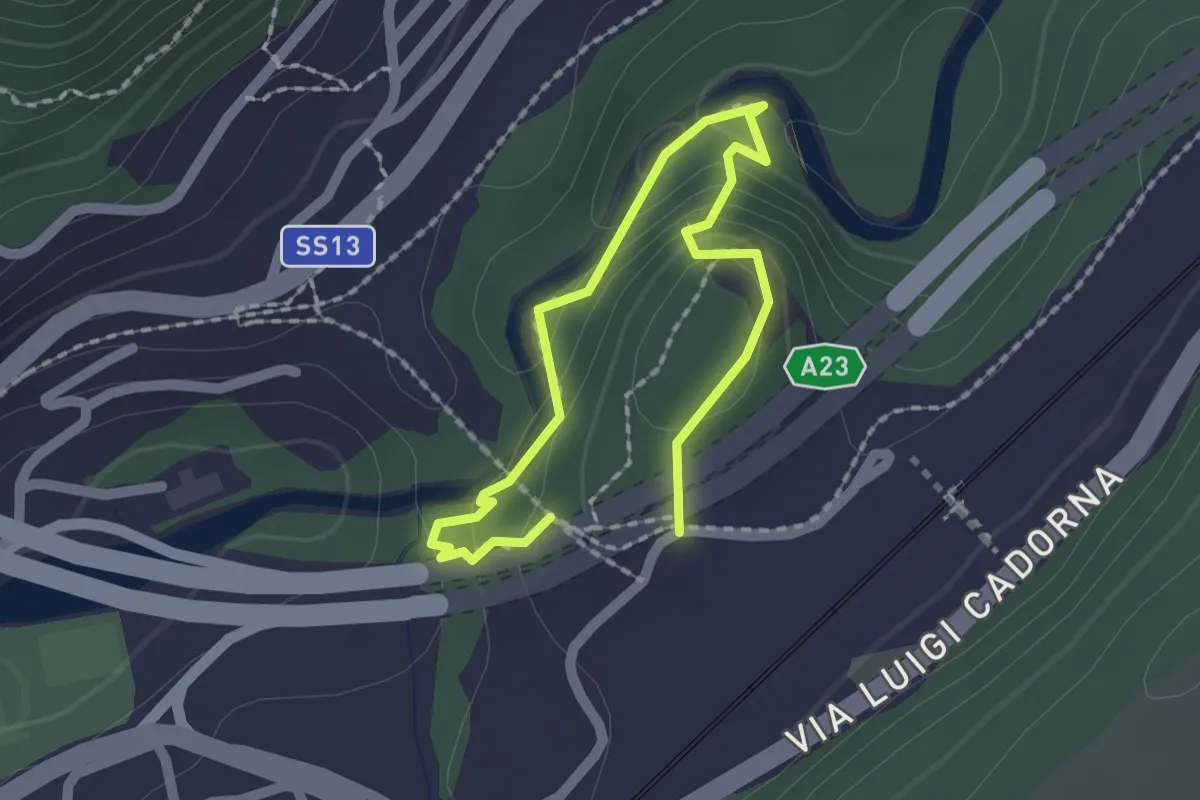
Easy · Trail
Sentiero dell'Orrido dello Slizza
1.2 km · ↑ 53 m · 25 min · 2 km away
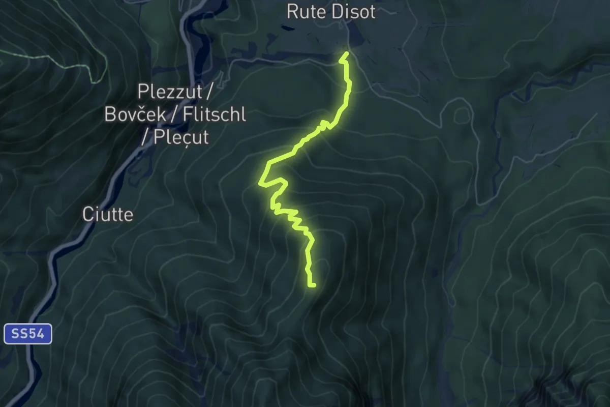
Medium · Summit
Rutte Piccolo (quota 820 m) – Val Romana (quota 915 m)
5.3 km · ↑ 490 m · 2 h 18 min · 2 km away
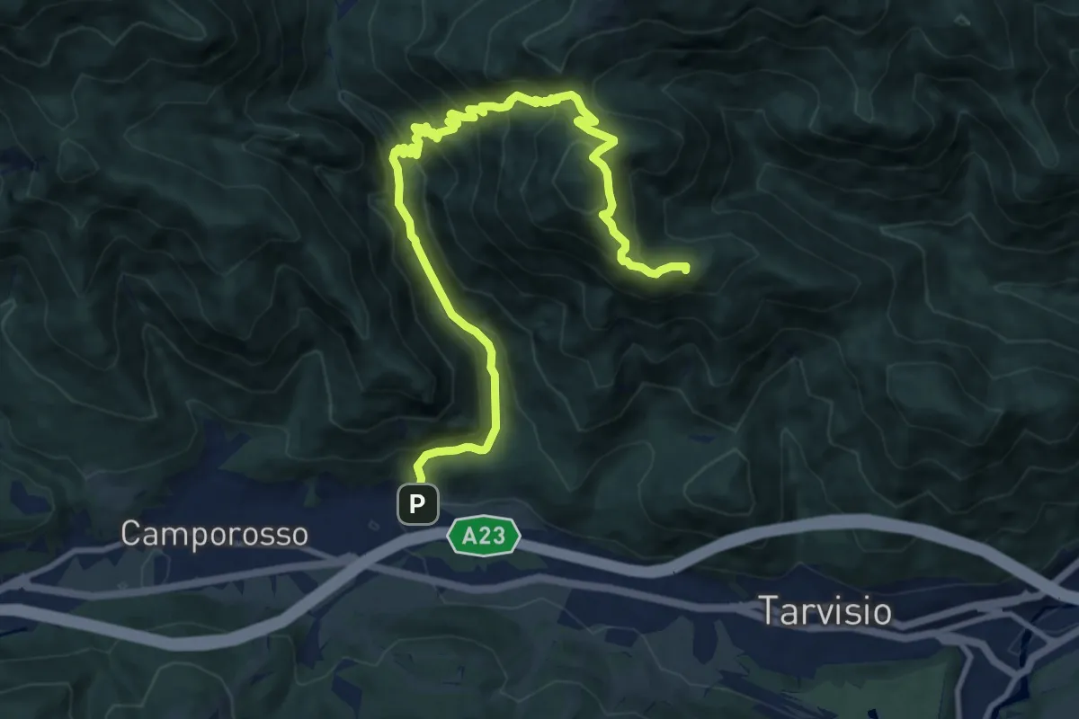
Demanding · Summit
Tarvisio Centrale Località San Michele (quota 774 m) – Rutte di Camporosso (quota 800 m)
12.7 km · ↑ 938 m · 5 h 2 min · 2 km away
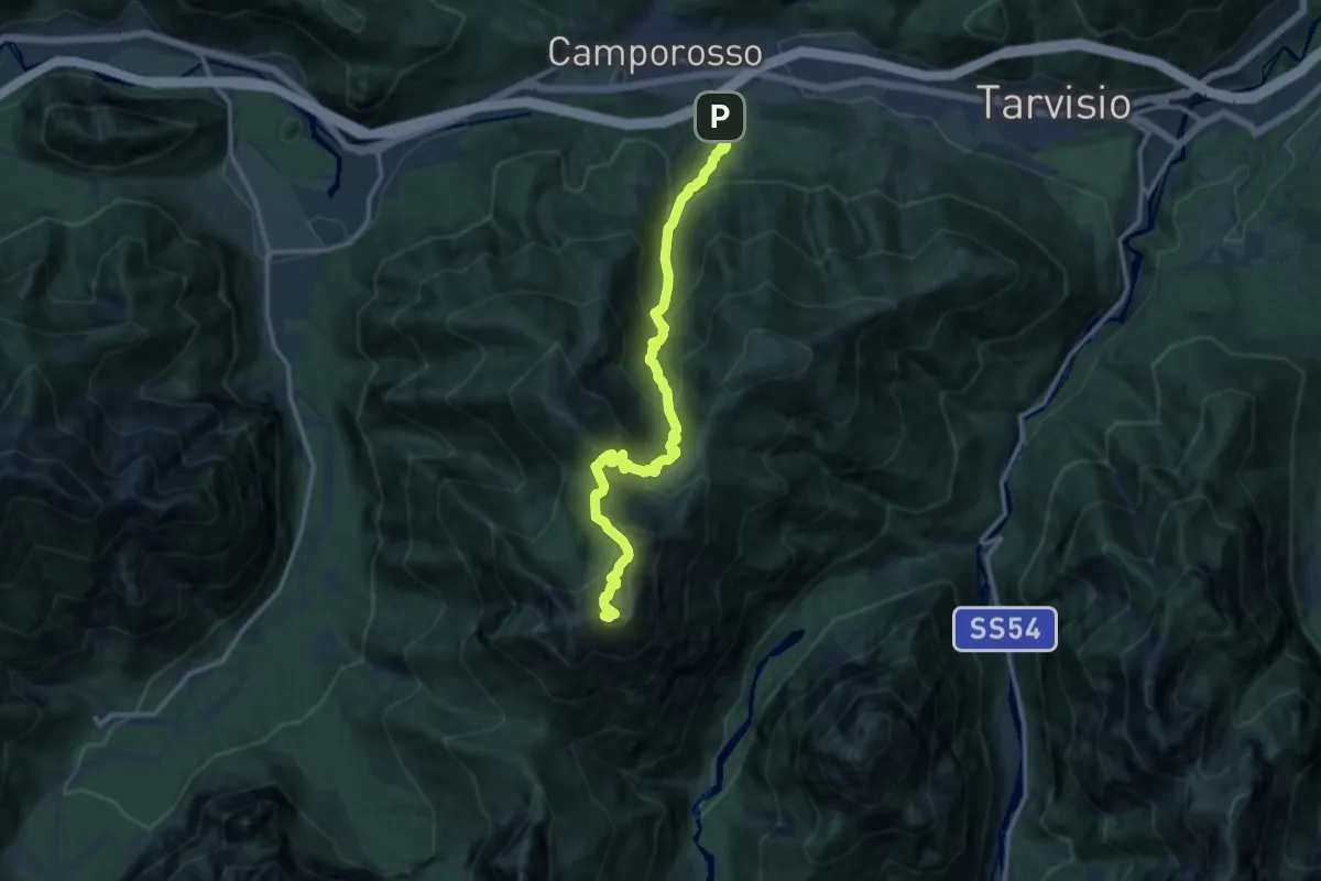
Demanding · Summit
Sentiero dei pellegrini
13.0 km · ↑ 1256 m · 5 h 48 min · 3 km away
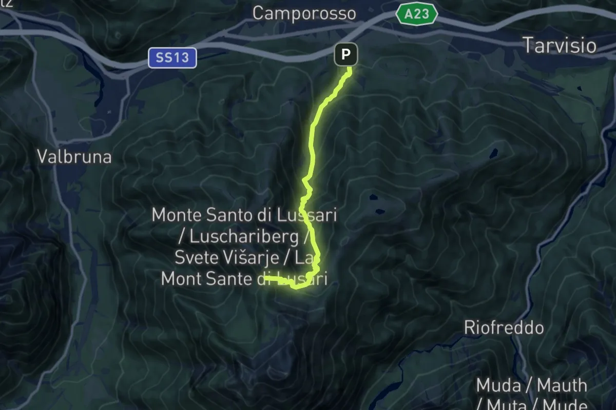
Demanding · Trail
Sentiero del Pellegrino
9.1 km · ↑ 885 m · 4 h 4 min · 3 km away
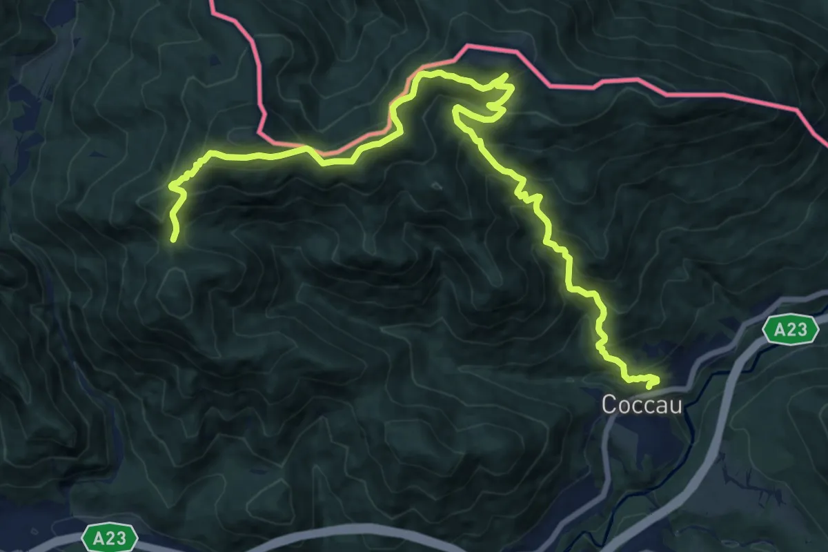
Demanding · Trail
Coccau (quota 725 m) – Sella Canton (quota 1413 m)
17.9 km · ↑ 1327 m · 7 h 5 min · 3 km away
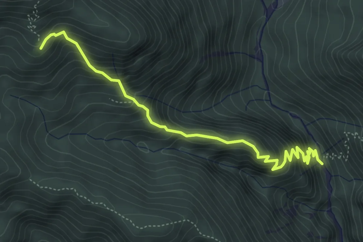
Medium · Trail
Val Bartolo (quota 935 m) – Cima Muli (quota 1495 m)
5.3 km · ↑ 515 m · 2 h 22 min · 4 km away
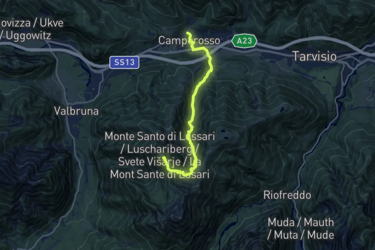
Demanding · Summit
Cammino Celeste Italia - 10 Camporosso - Monte Lussari
12.7 km · ↑ 979 m · 5 h 7 min · 4 km away
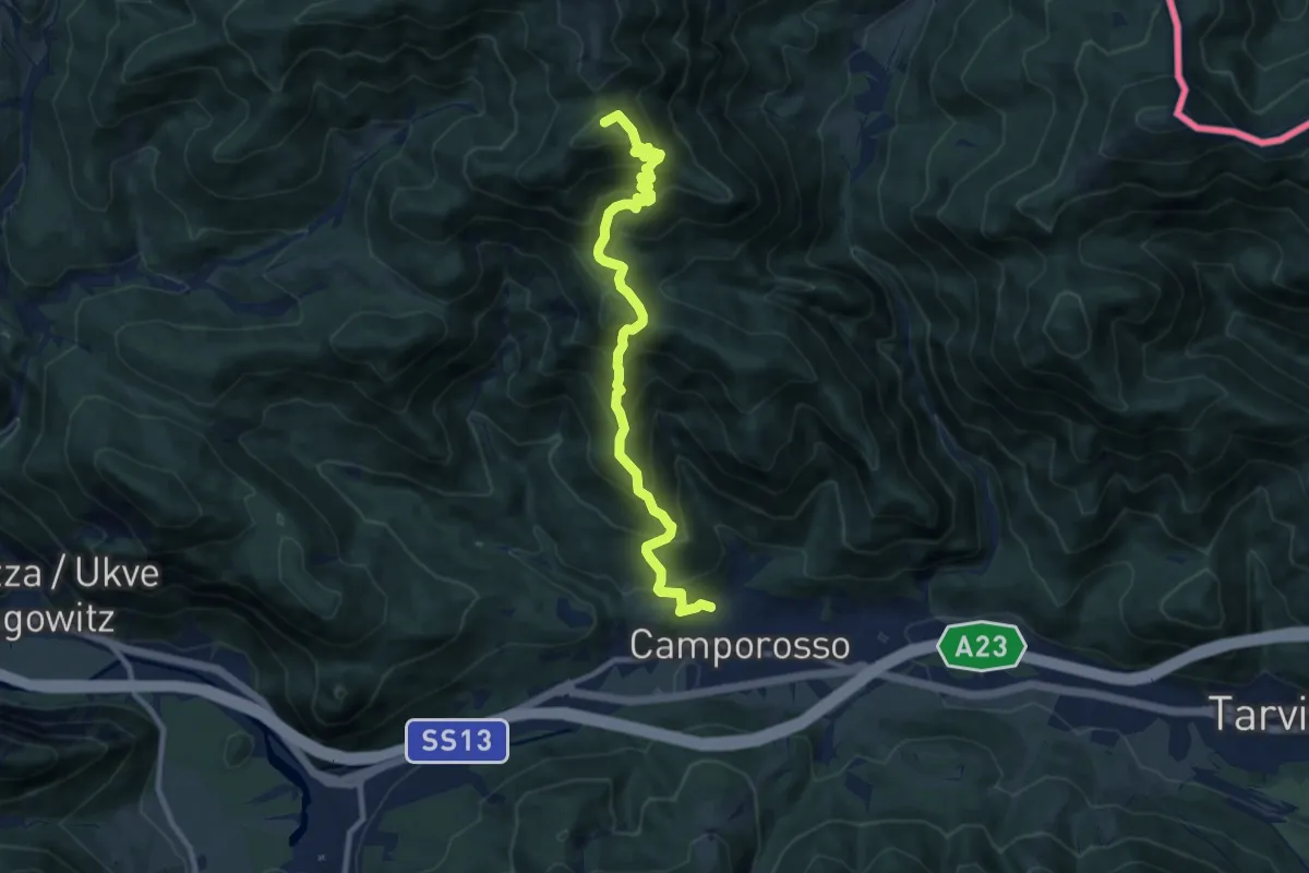
Demanding · Summit
Camporosso (quota 805 m) – Sella Pleccia (quota 1616 m)
10.3 km · ↑ 948 m · 4 h 29 min · 4 km away
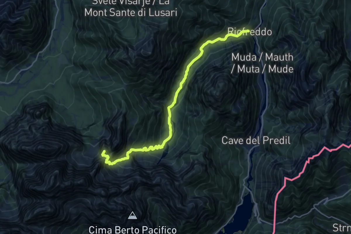
Demanding · Summit
Riofreddo (quota 817 m) – Rifugio Pellarini (quota 1499 m)
16.2 km · ↑ 983 m · 5 h 57 min · 4 km away
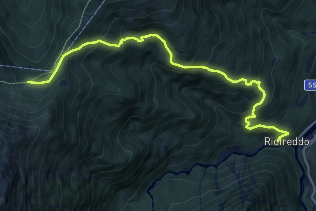
Medium · Trail
Sentiero delle Croci
8.6 km · ↑ 744 m · 3 h 38 min · 4 km away
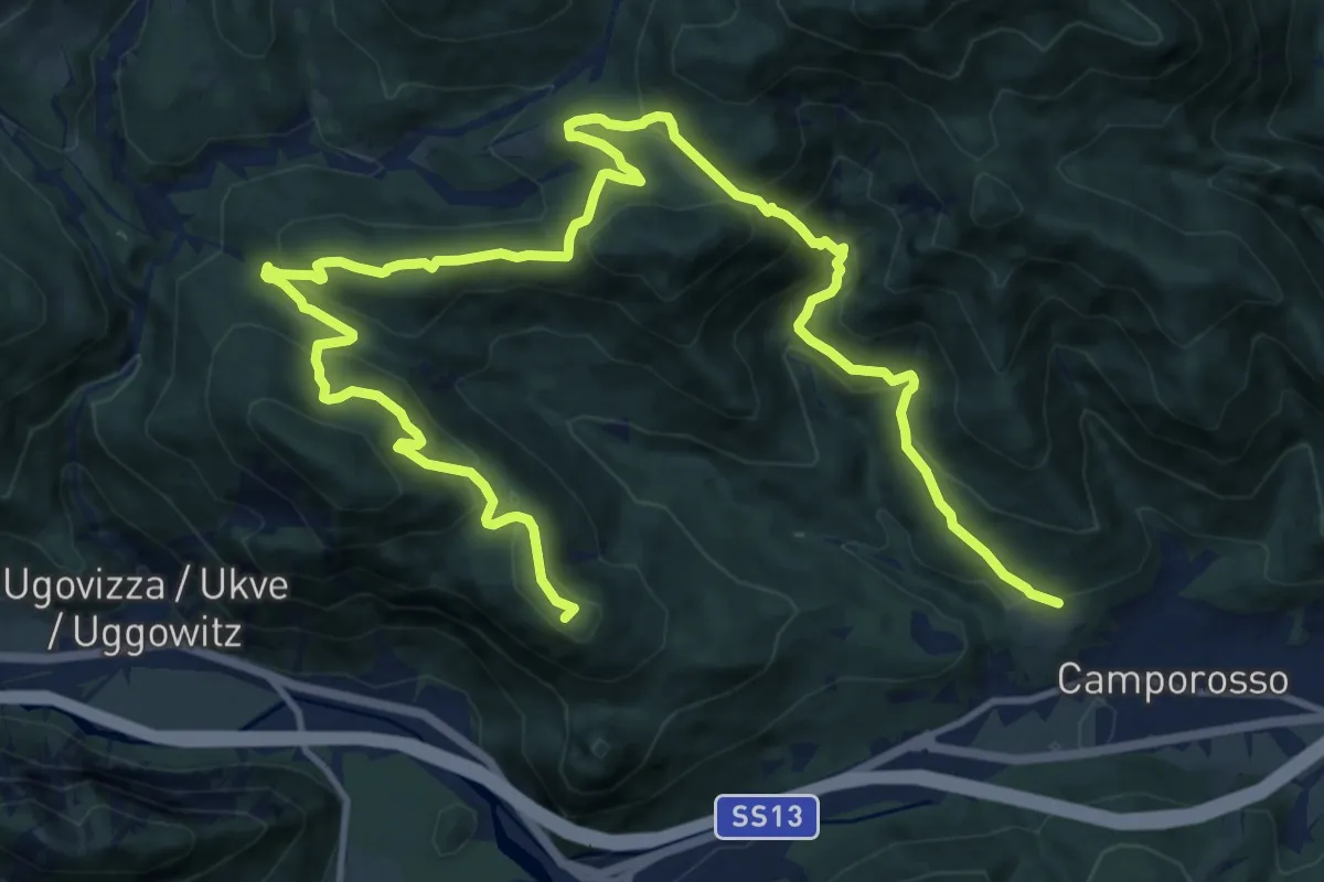
Demanding · Summit
Camporosso, Bivio sentiero n. 508 (quota 905 m) – Camporosso Località Spartiacque (quota 816 m)
18.8 km · ↑ 941 m · 6 h 29 min · 4 km away
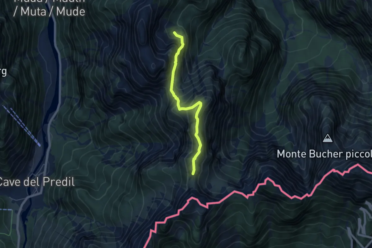
Medium · Trail
Val Romana (quota 918 m) – La Portella Bivio sentiero n. 511 (quota 1798 m)
4.9 km · ↑ 441 m · 2 h 6 min · 5 km away
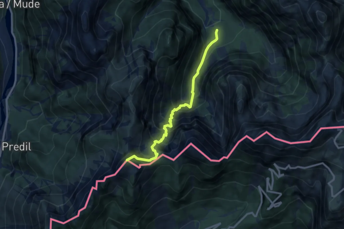
Demanding · Summit
Val Romana (quota 854 m) – Cave del Predil (quota 900 m)
6.6 km · ↑ 903 m · 3 h 31 min · 6 km away
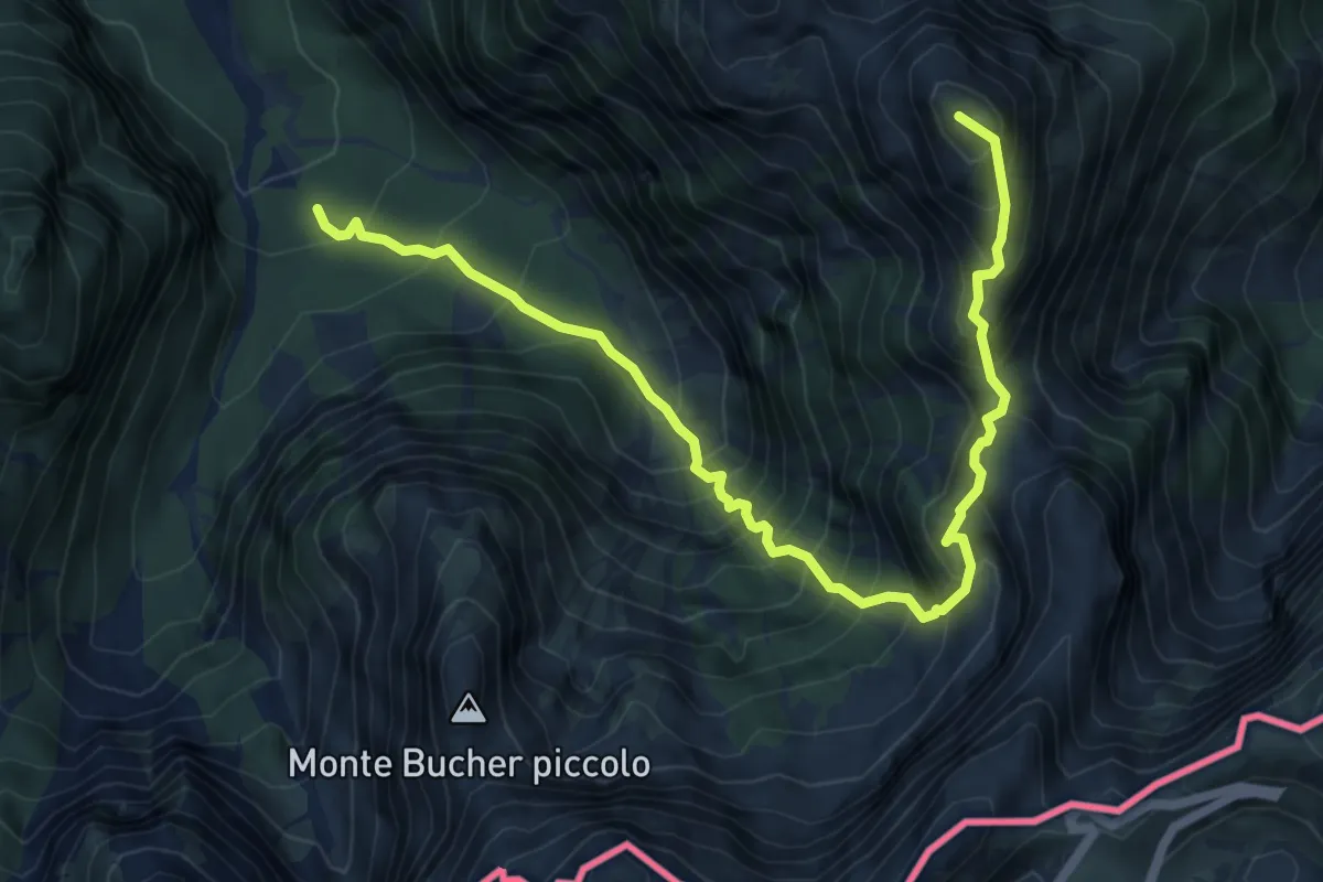
Expert · Summit
Val Romana (quota 980 m) – Bivio sentiero n. 515 (quota 1950 m)
7.4 km · ↑ 1230 m · 4 h 24 min · 6 km away
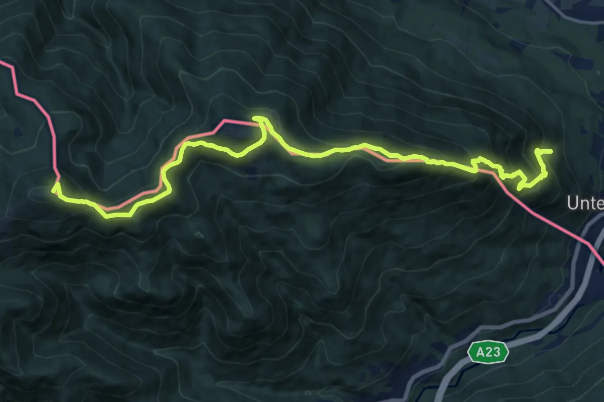
Demanding · Summit
Südalpenweg 03 - Etappe 18
15.1 km · ↑ 1075 m · 5 h 54 min · 6 km away
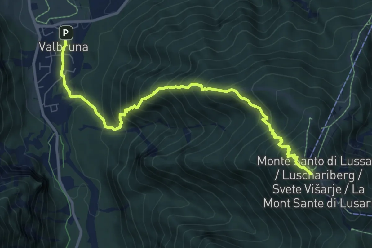
Demanding · Cabin
Casa Alpina J. Kugy (quota 810 m) – Monte Santo di Lussari (bivio sent. 617) (quota 1.770 m)
8.2 km · ↑ 994 m · 4 h 5 min · 7 km away
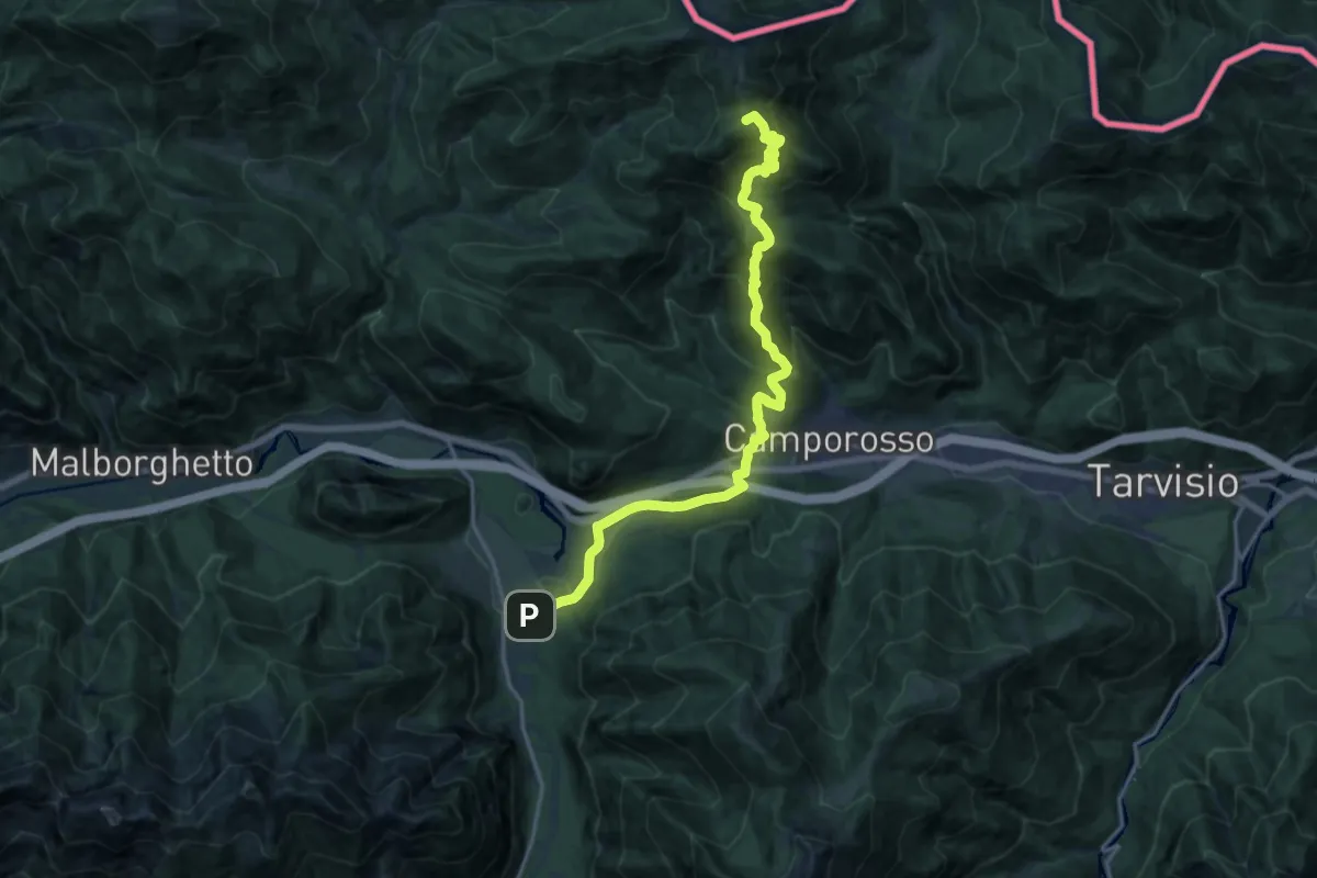
Demanding · Summit
Rifugio Nordio – Casa Alpina Valbruna
18.1 km · ↑ 1059 m · 6 h 34 min · 7 km away
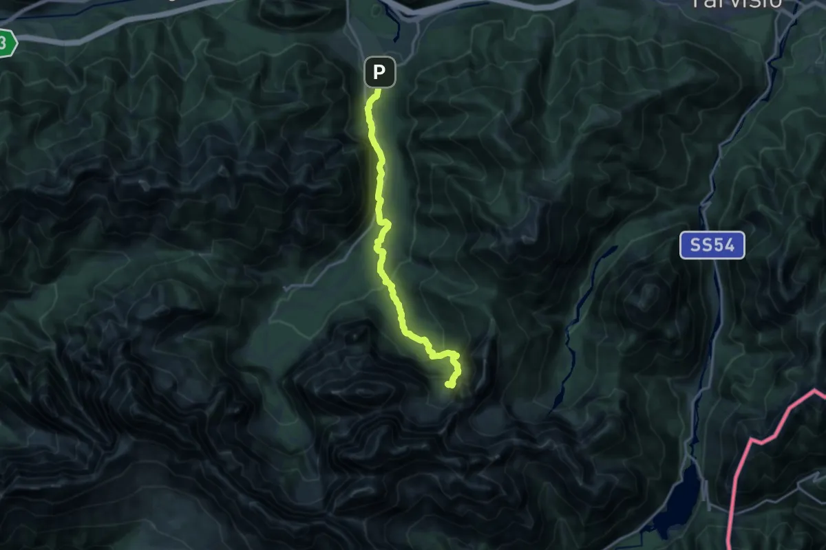
Medium · Cabin
Casa Alpina Valbruna – Bivio Rifugio Pellarini
15.5 km · ↑ 798 m · 5 h 23 min · 7 km away
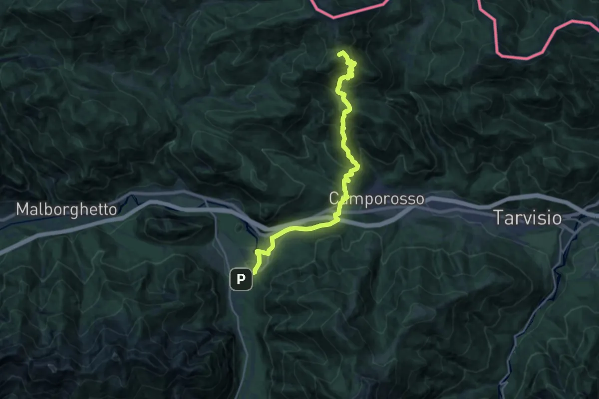
Demanding · Summit
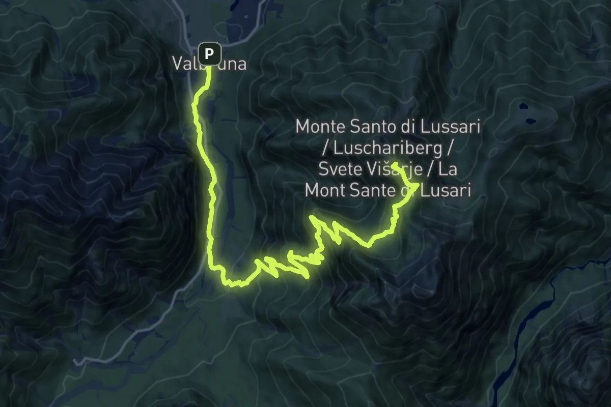
Alpe Adria Trail R3
18.4 km · ↑ 1075 m · 6 h 40 min · 7 km away
Demanding · Summit
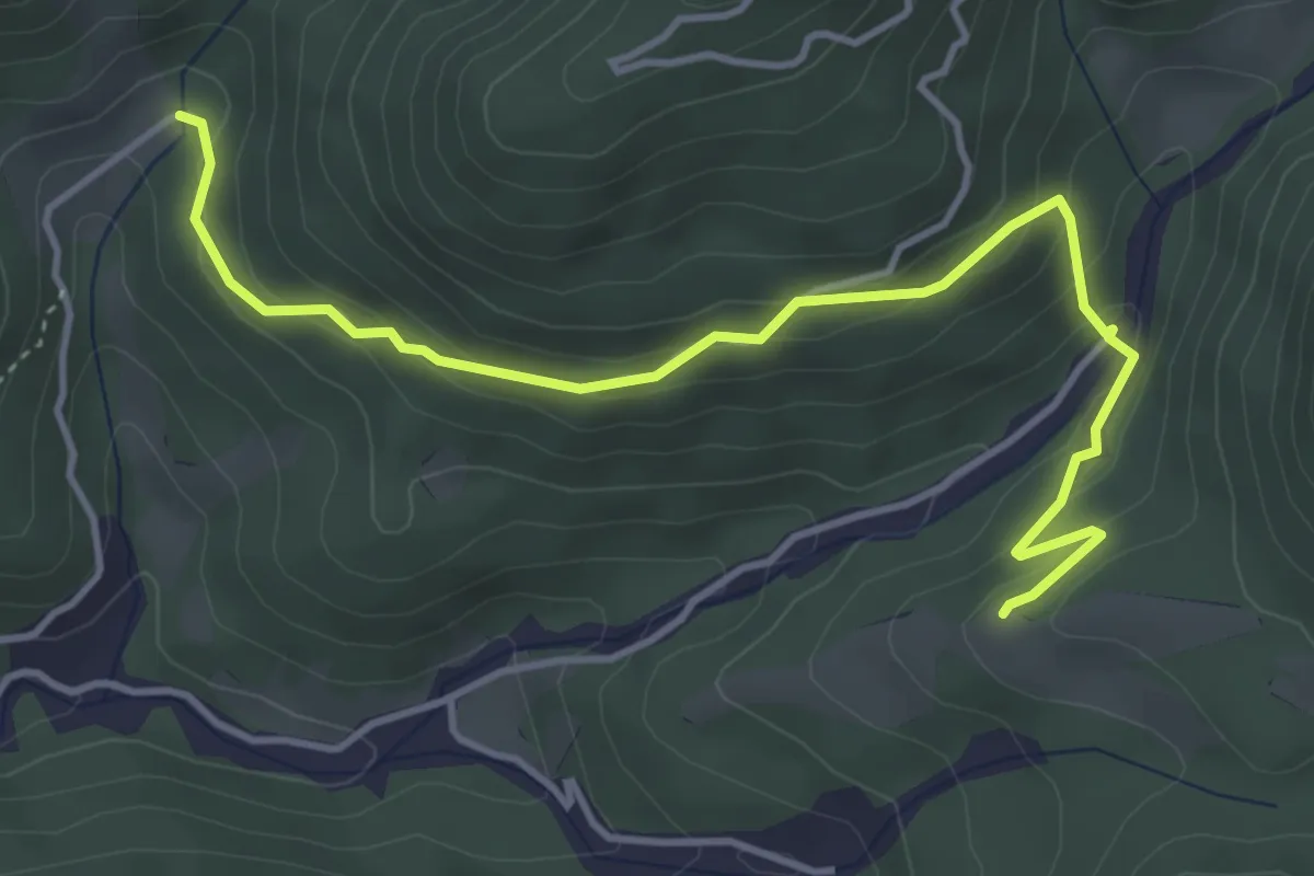
Alpe Adria Trail R4
20.5 km · ↑ 1259 m · 7 h 34 min · 7 km away
Medium · Trail
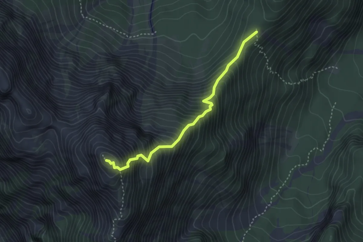
Puanina Tour (T5)
4.7 km · ↑ 268 m · 1 h 41 min · 7 km away
Demanding · Summit
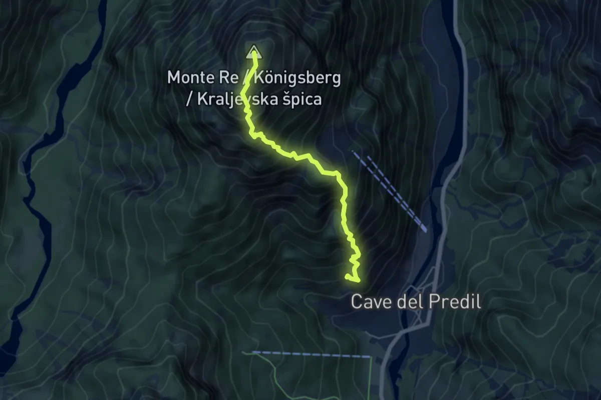
Sella Col Rotondo (quota 1400 m) – Picco di Mezzodì (quota 2063 m)
3.3 km · ↑ 638 m · 2 h 10 min · 7 km away
Demanding · Summit
Sentiero "I Lupi di Cave del Predil"
4.7 km · ↑ 873 m · 2 h 59 min · 7 km away
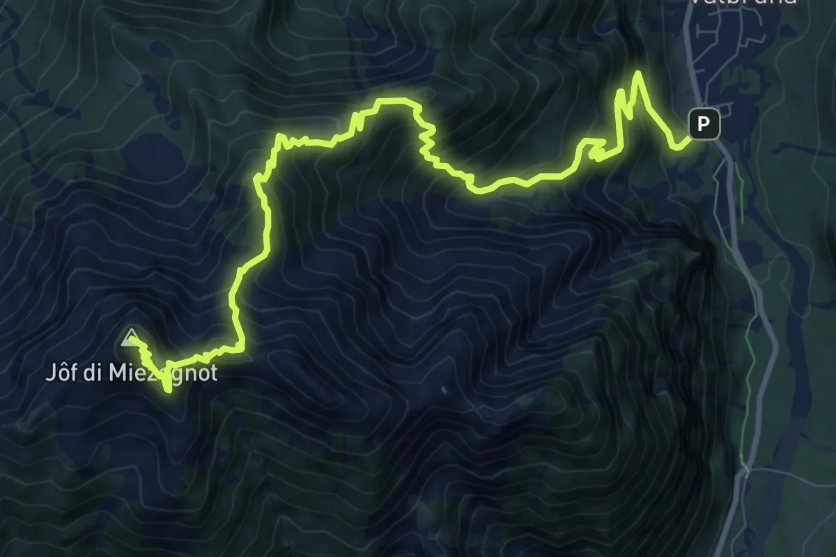
Demanding · Summit
Valbruna (quota 821 m) – Jôf di Miezegnot (quota 2087 m)
12.5 km · ↑ 1291 m · 5 h 45 min · 7 km away
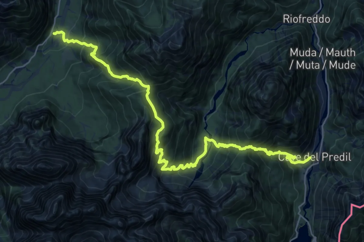
Demanding · Trail
Valbruna (quota 860 m) – Cave del Predil (quota 900 m)
11.7 km · ↑ 1027 m · 5 h 10 min · 7 km away
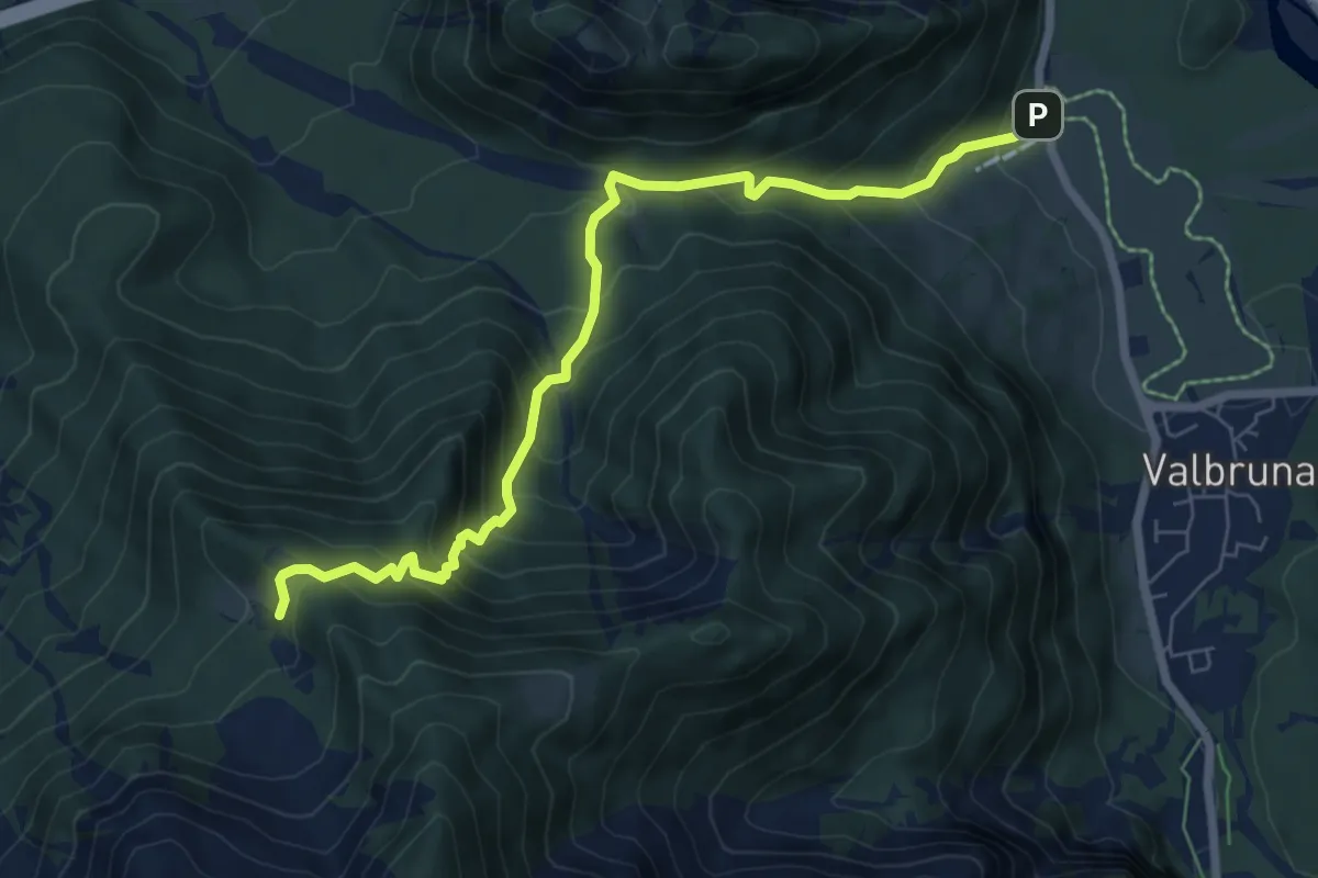
Medium · Trail
Valbruna (quota 795 m) – Malga Stechizza (quota 1359 m)
7.3 km · ↑ 694 m · 3 h 13 min · 7 km away
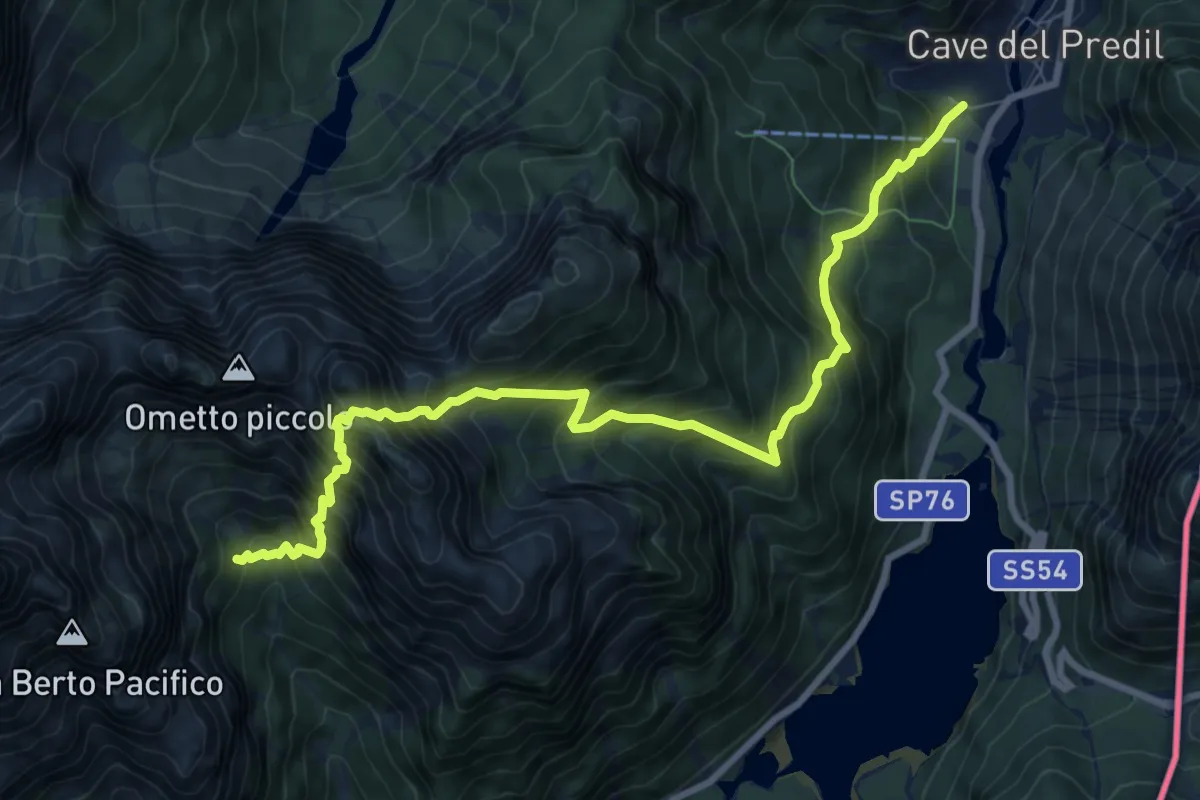
Expert · Cabin
Cave del Predil (quota 900 m) – Rifugio Brunner (quota 1432 m)
9.8 km · ↑ 1552 m · 5 h 41 min · 7 km away
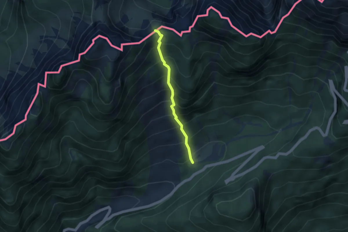
Medium · Trail
Mangartska pl. - Čez Stože
2.7 km · ↑ 439 m · 1 h 35 min · 8 km away
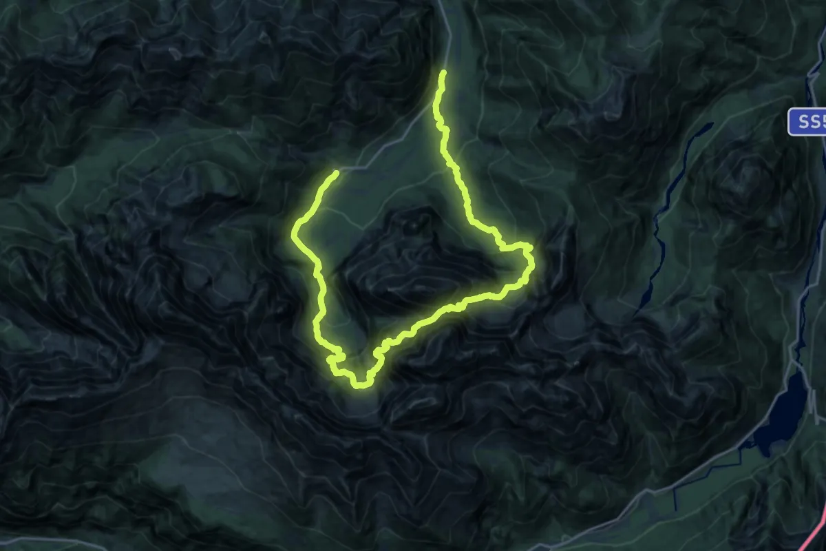
Demanding · Trail
Valbruna (quota 860 m) – Malga Saisera (quota 1004 m)
14.1 km · ↑ 1550 m · 6 h 49 min · 8 km away
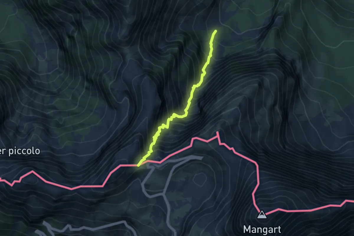
Demanding · Trail
Alpe del Lago (quota 1025 m) – Forcella della Lavina (quota 2055 m)
3.9 km · ↑ 777 m · 2 h 36 min · 8 km away
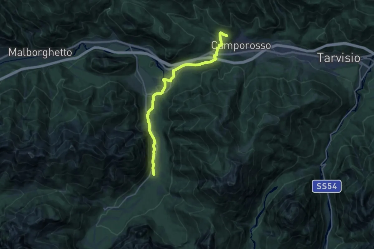
Medium · Trail
Camporosso bivio sentieri 506-508 (quota 900 m) – Bivio sentiero 615 val Saisera (quota 866 m)
15.2 km · ↑ 304 m · 4 h 15 min · 8 km away
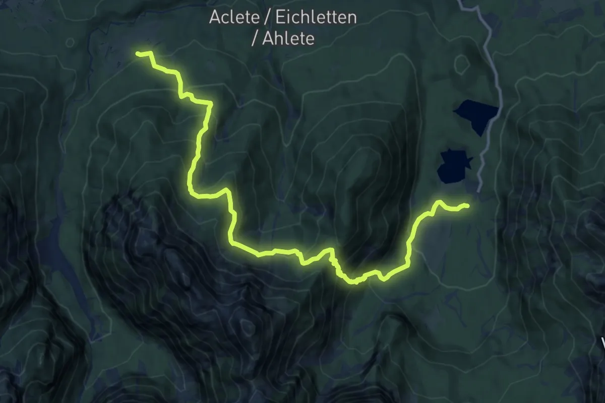
Demanding · Trail
Lago Superiore Fusine (quota 944 m) – Ortigara in Val Romana (quota 883 m))
15.0 km · ↑ 1161 m · 6 h 4 min · 8 km away
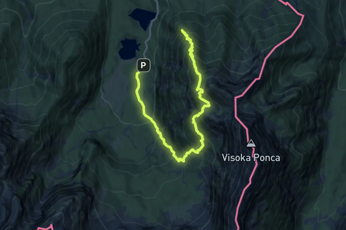
Demanding · Summit
Lago inferiore di Fusine (quota 927 m) – Lago superiore di Fusine (quota 941 m)
12.3 km · ↑ 1175 m · 5 h 27 min · 8 km away
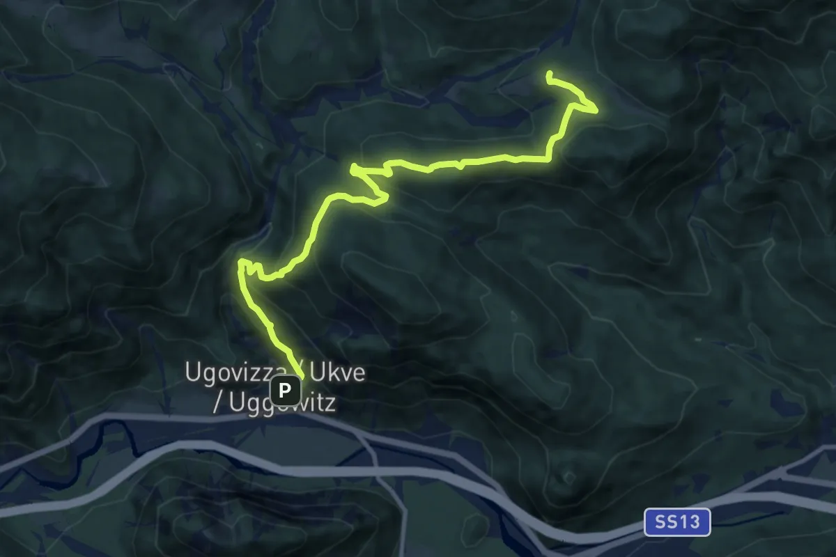
Medium · Trail
Puanina Tour (T6)
11.0 km · ↑ 692 m · 4 h 7 min · 8 km away
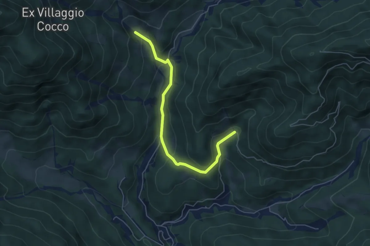
Medium · Trail
Puanina Tour (T4)
5.1 km · ↑ 272 m · 1 h 48 min · 8 km away
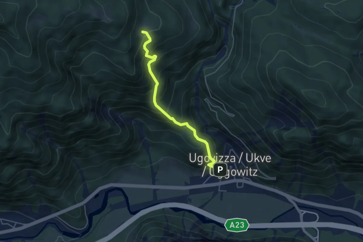
Medium · Cabin
Puanina Tour (T1)
4.0 km · ↑ 491 m · 2 h · 8 km away
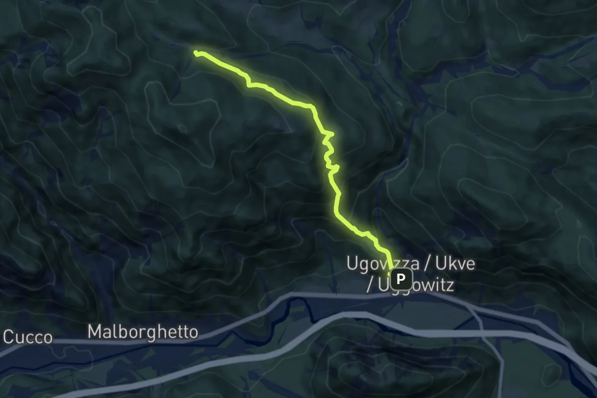
Demanding · Trail
Ugovizza (quota 770 m) – Bivio sentiero n.504 (quota 1285 m)
7.6 km · ↑ 694 m · 3 h 18 min · 8 km away
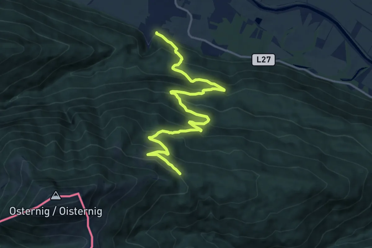
Demanding · Trail
Wanderweg 478
12.8 km · ↑ 895 m · 4 h 57 min · 8 km away
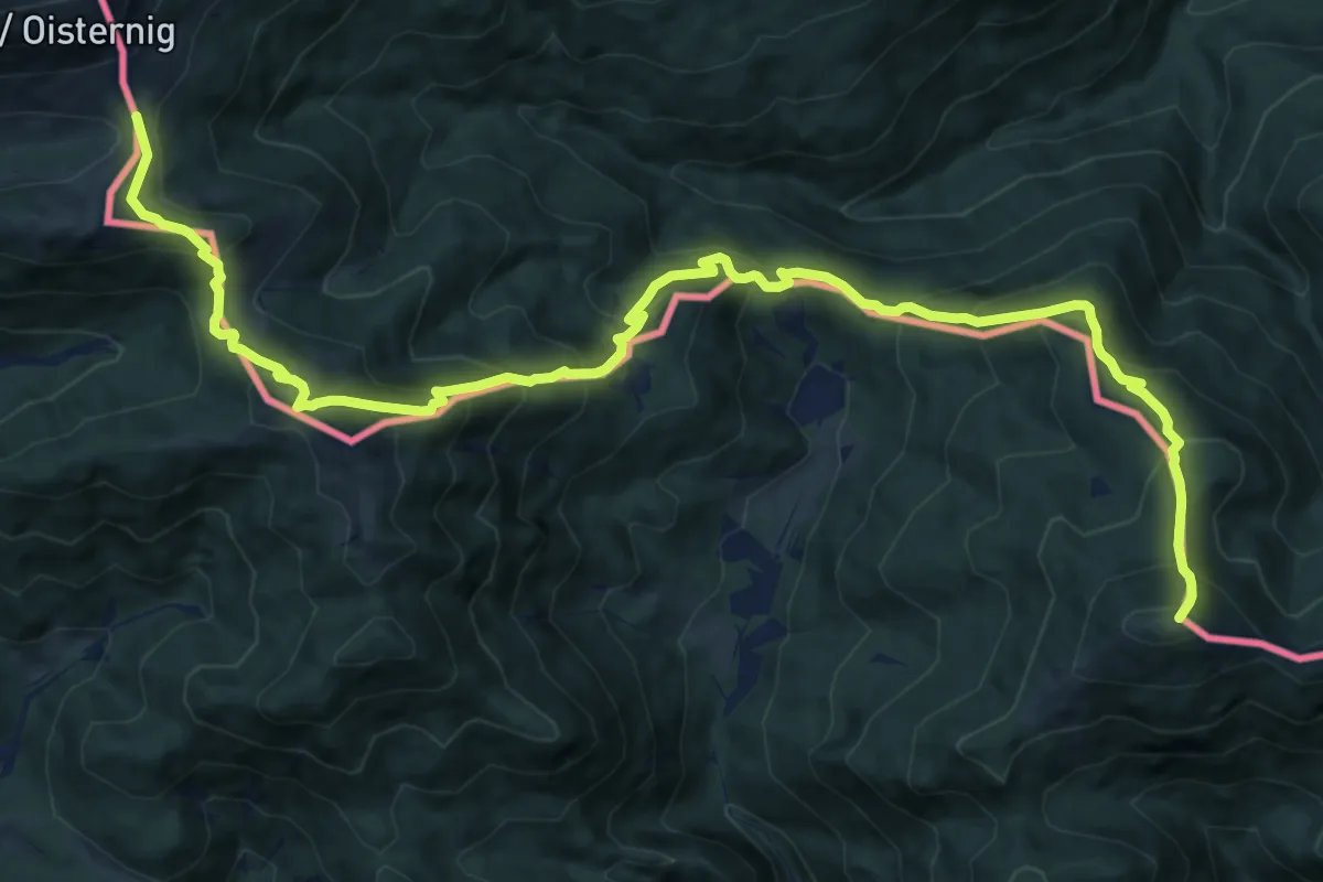
Demanding · Summit
Via Alpina Red R16
16.4 km · ↑ 1387 m · 6 h 53 min · 8 km away
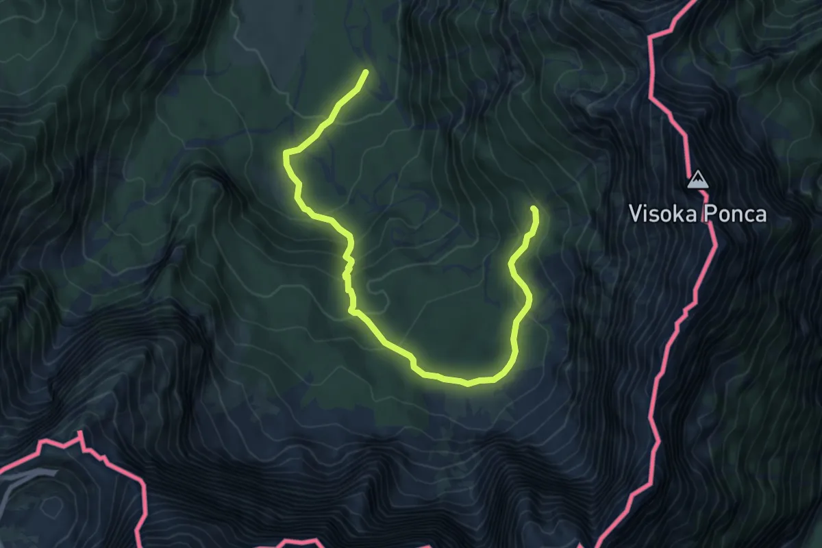
Demanding · Cabin
Lago superiore di Fusine (quota 941 m) – Rifugio Zacchi (quota 1380 m)
8.3 km · ↑ 427 m · 2 h 54 min · 8 km away
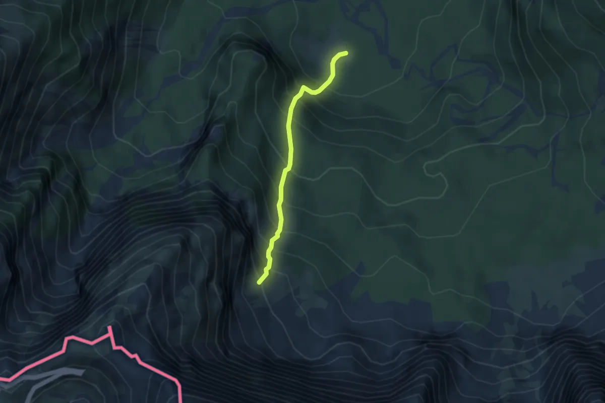
Demanding · Trail
Alpe Tamer Bivio sentiero n. 513 (quota 1010 m) – Alpe Traunig Bivio sentiero n. 517 (quota 1475 m)
3.1 km · ↑ 492 m · 1 h 47 min · 8 km away
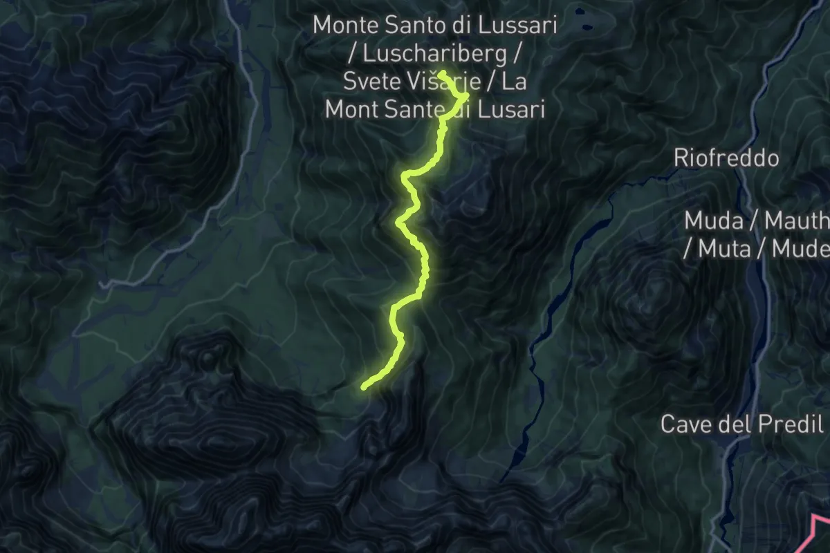
Demanding · Summit
Monte Santo di Lussari (quota 1780 m) – Bivio sentiero n. 616 (quota 1300 m)
11.3 km · ↑ 932 m · 4 h 41 min · 8 km away
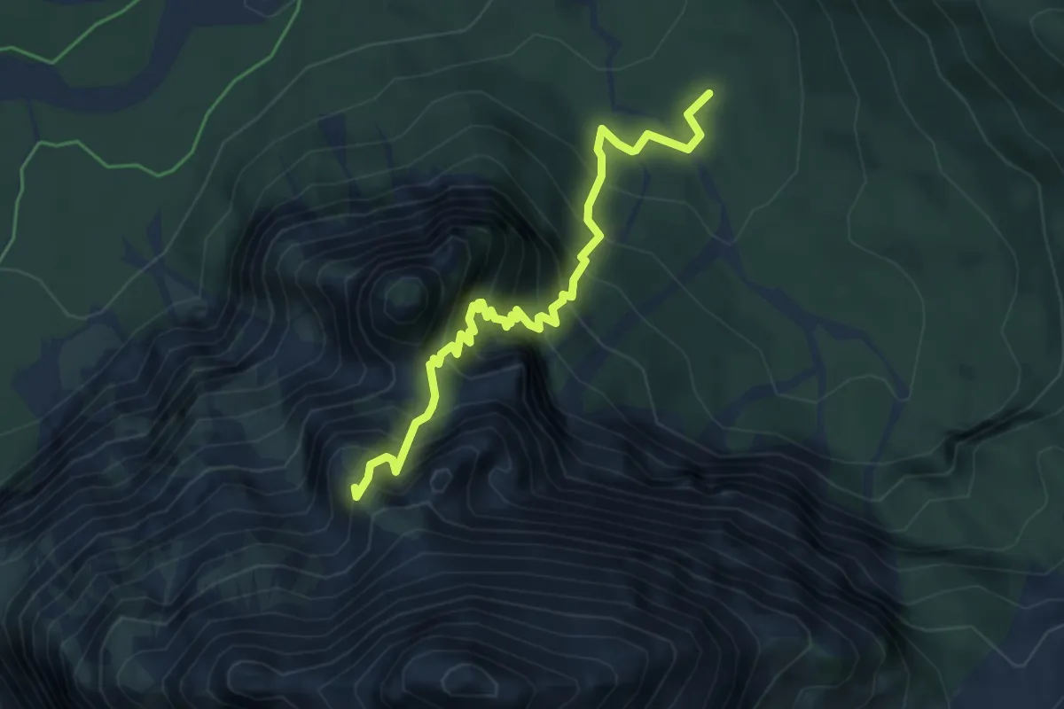
Expert · Summit
Sentiero Marco Martinolli
4.8 km · ↑ 671 m · 2 h 35 min · 8 km away