Trails near Tarvisio
167 hikes starting within 15 km, nearest first.
Nearest first, page 2 of 4
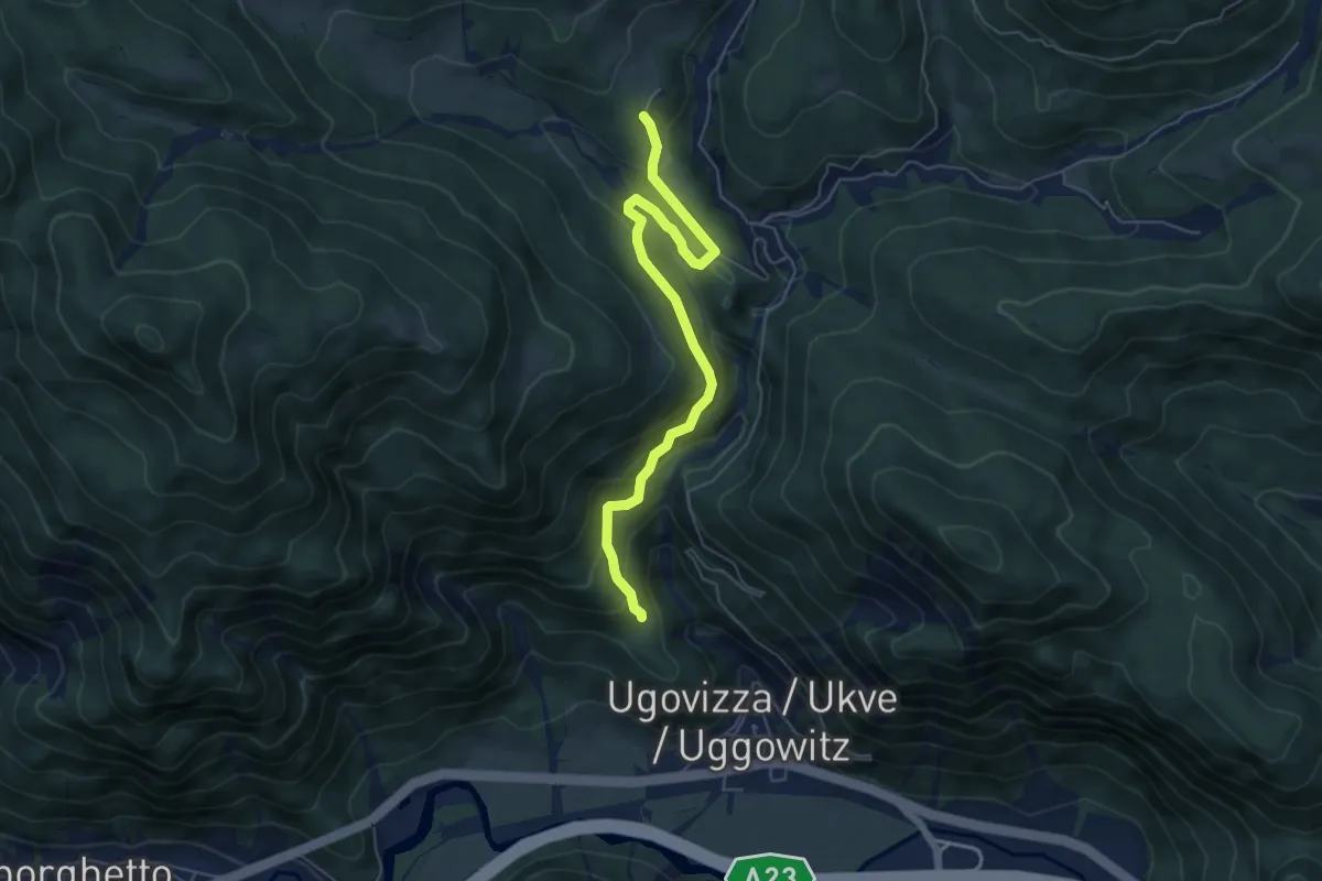
Medium · Cabin
Puanina Tour (V1)
5.9 km · ↑ 408 m · 2 h 16 min · 9 km away
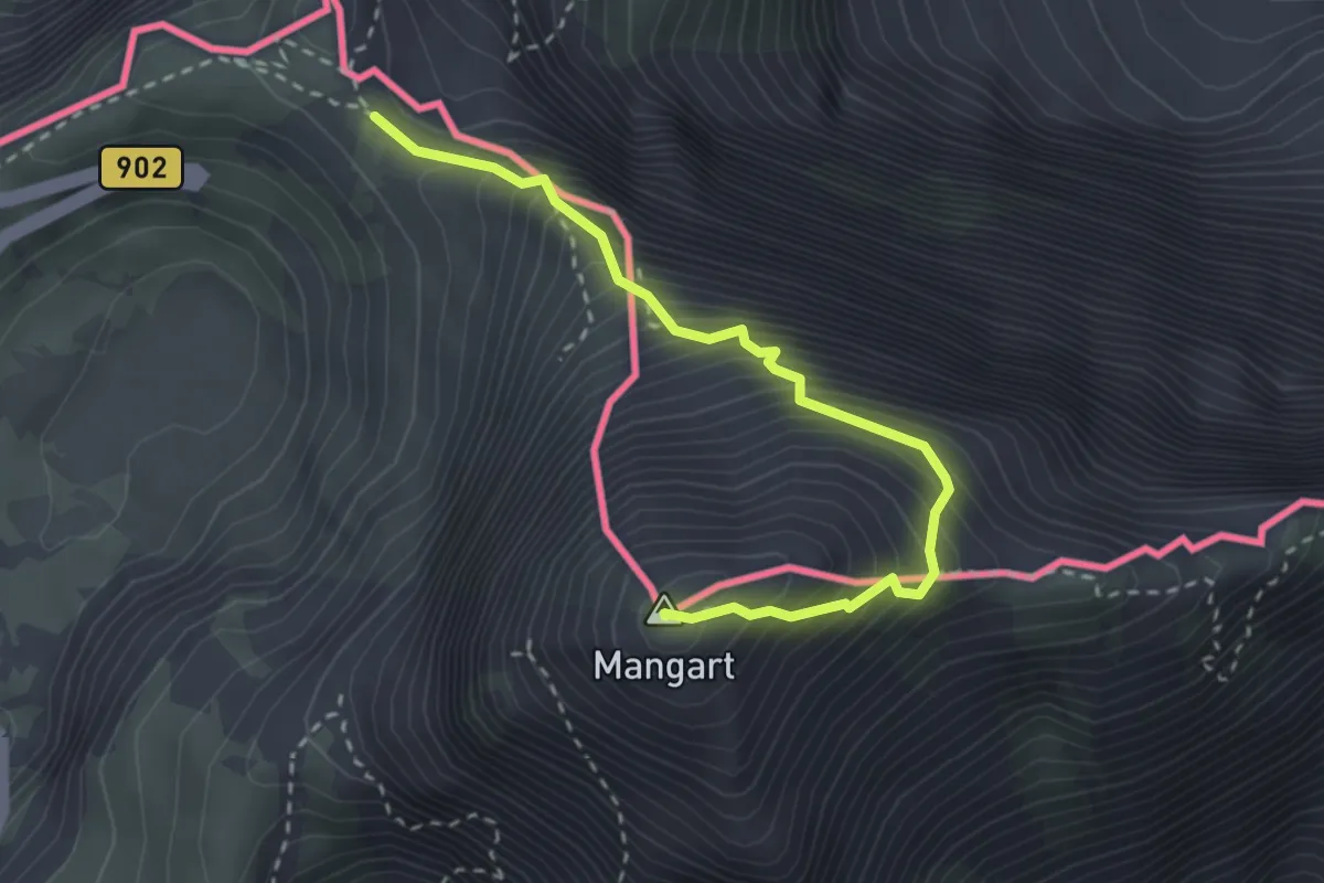
Expert · Summit
Mangart (Italijanska pot)
2.9 km · ↑ 504 m · 1 h 47 min · 9 km away
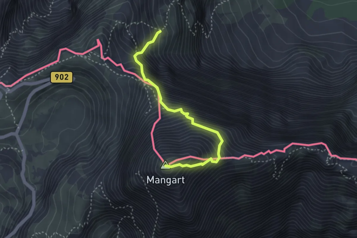
Expert · Summit
Via Italiana al Monte Mangart
3.3 km · ↑ 755 m · 2 h 24 min · 9 km away
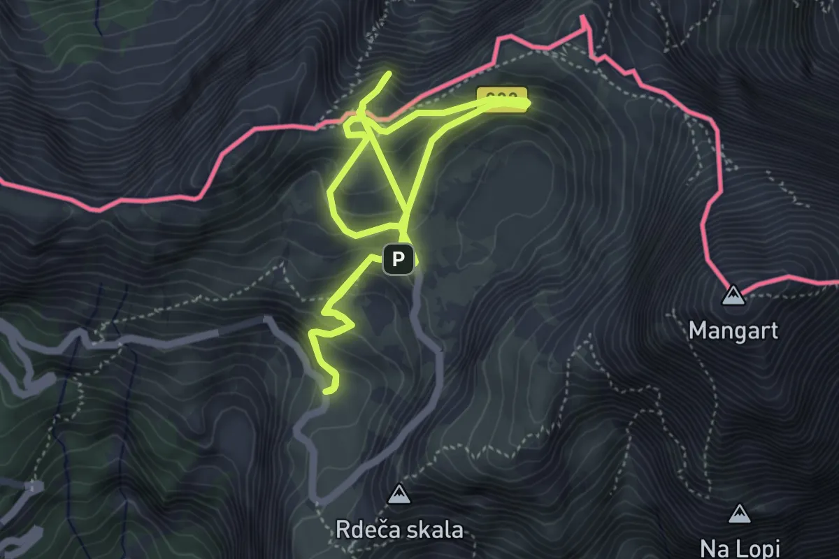
Medium · Summit
Učna pot Mangrt
4.3 km · ↑ 275 m · 1 h 38 min · 9 km away
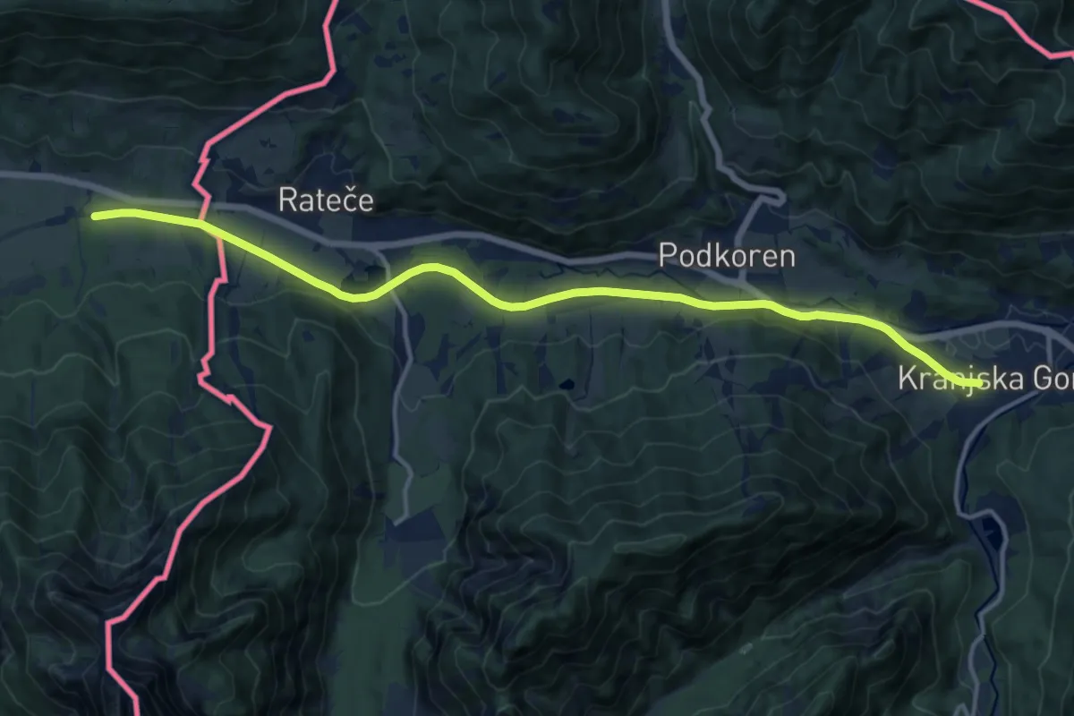
Medium · Trail
Alpe Adria Trail R6
14.8 km · ↑ 121 m · 3 h 45 min · 9 km away
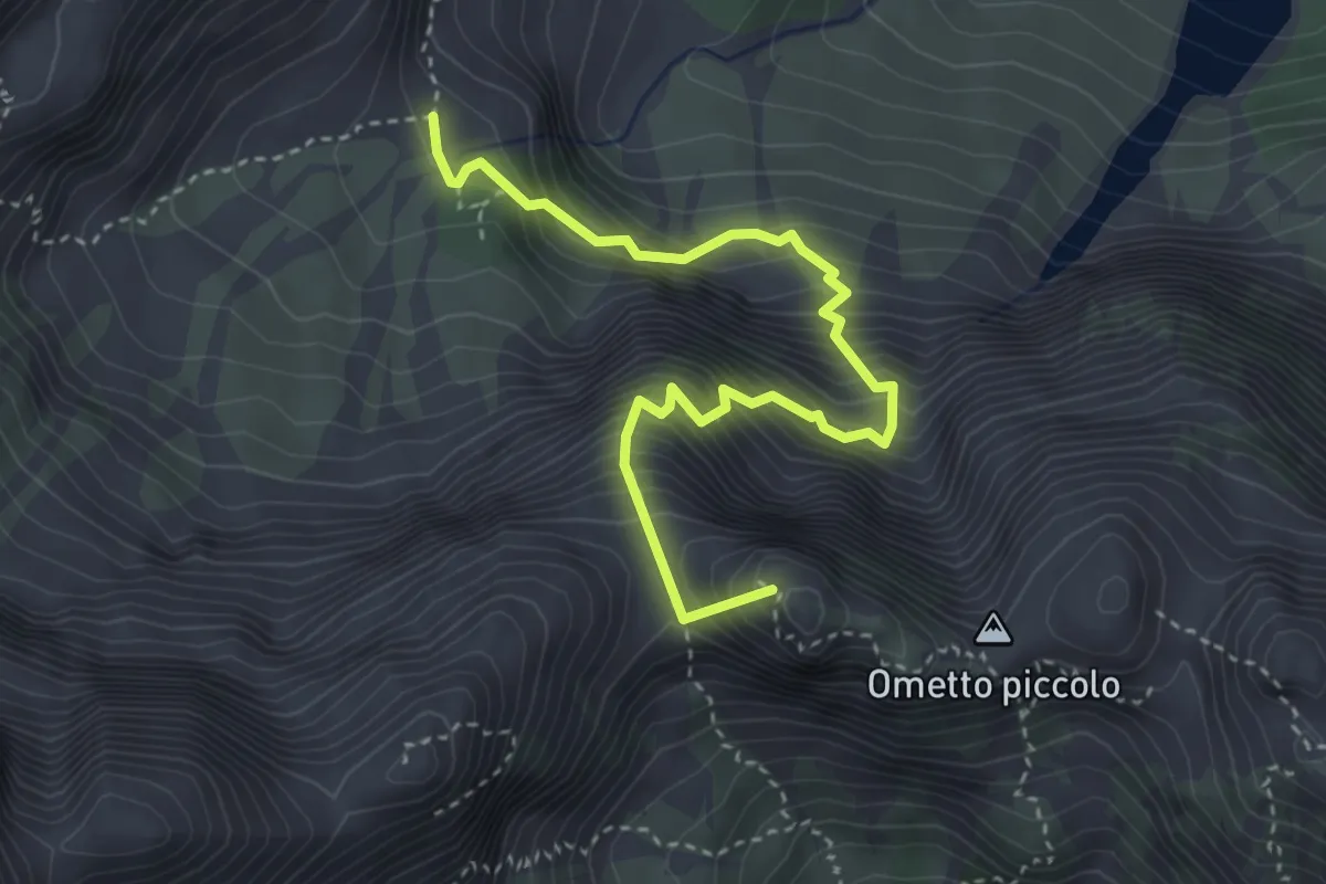
Expert · Summit
via ferrata Carlo Puppis
4.0 km · ↑ 1112 m · 3 h 21 min · 9 km away
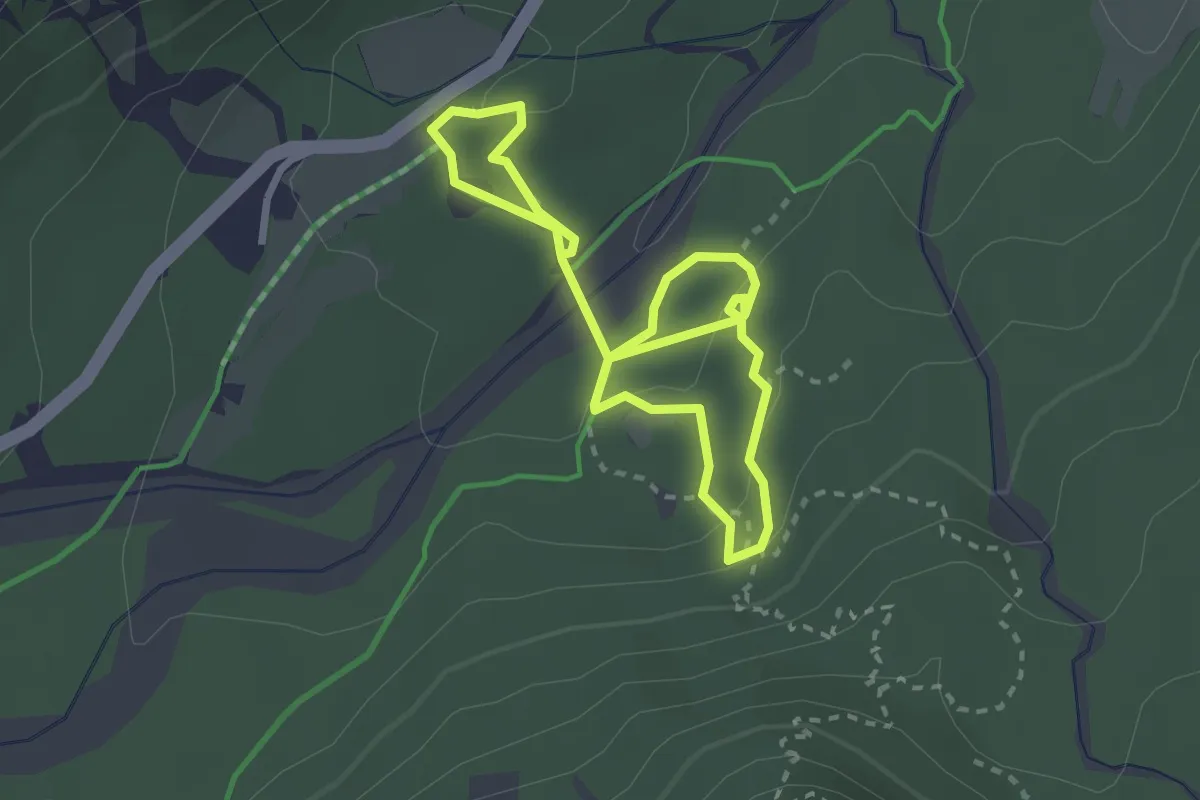
Demanding · Trail
Abschnitt Seisera - Percorso verde
4.3 km · ↑ 107 m · 1 h 15 min · 9 km away
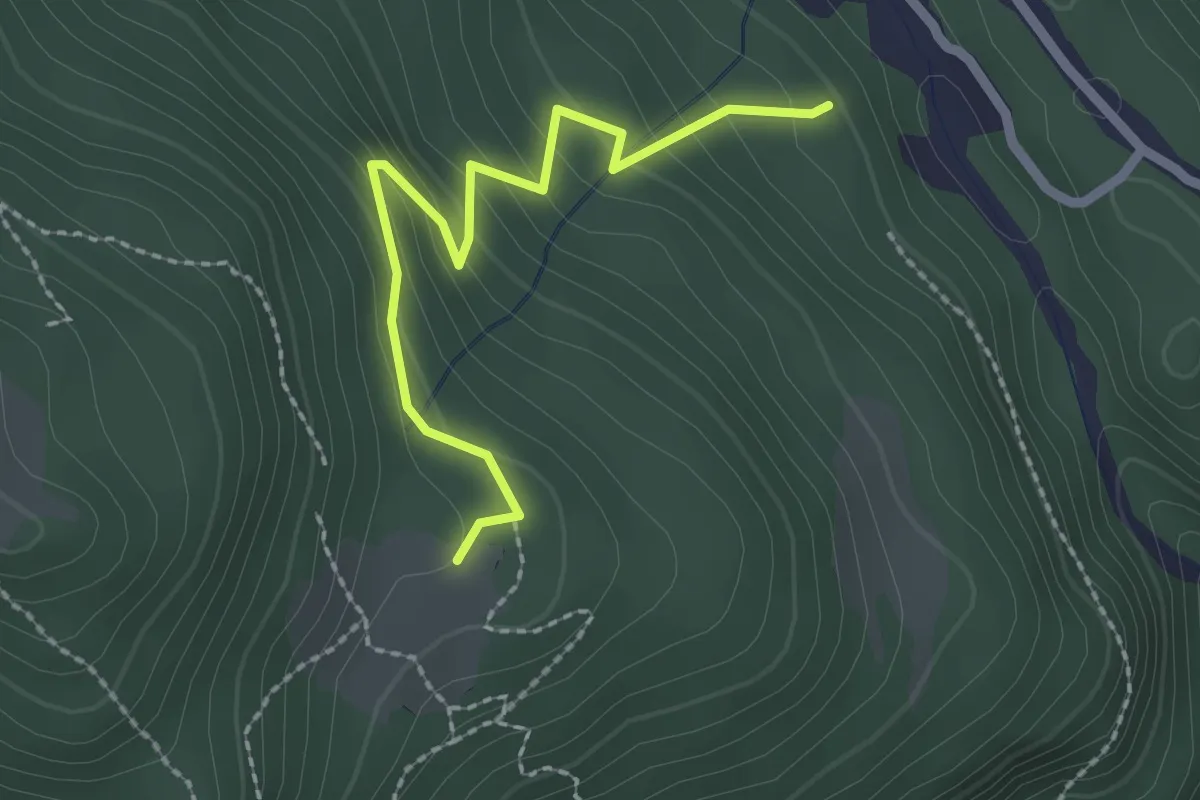
Easy · Cabin
Puanina Tour (V2)
2.3 km · ↑ 224 m · 1 h 1 min · 9 km away
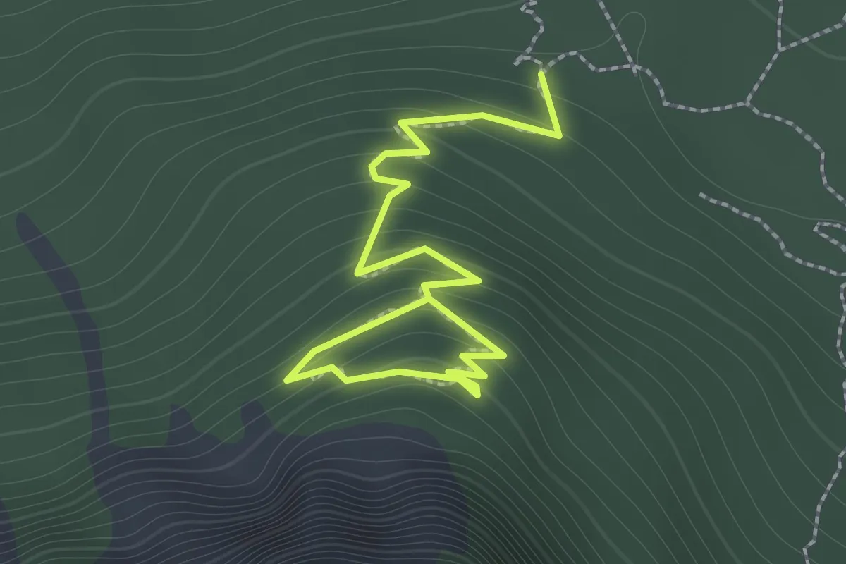
Demanding · Trail
Abschnitt Seisera - Percorso rosso
2.0 km · ↑ 193 m · 53 min · 9 km away
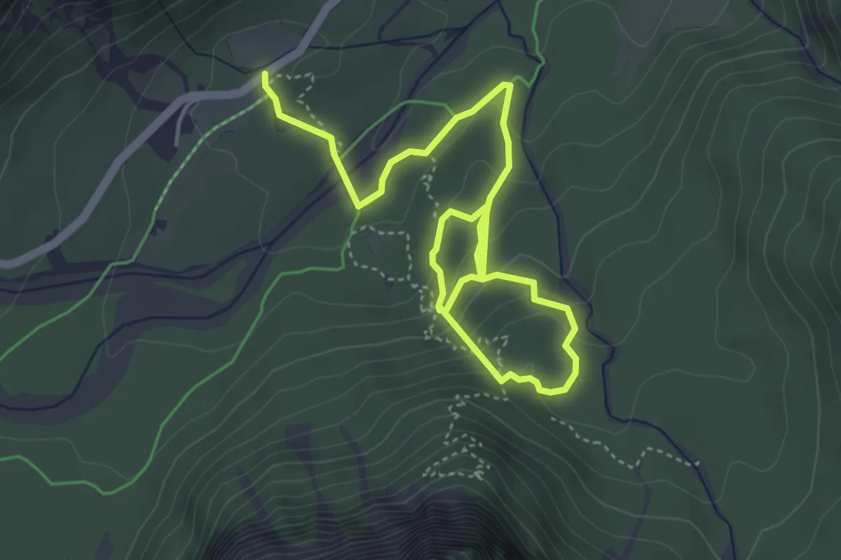
Easy · Trail
The Forest Sound Track
6.1 km · ↑ 288 m · 2 h 4 min · 9 km away
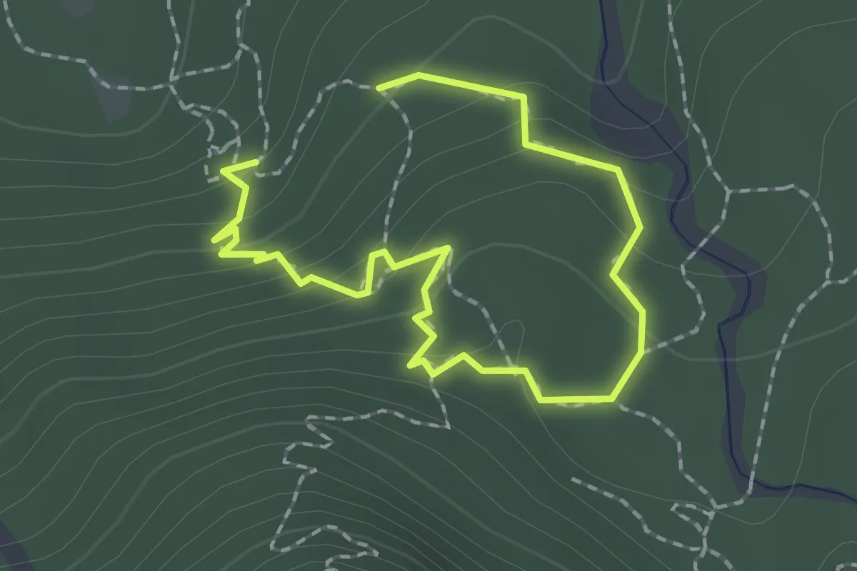
Easy · Trail
Abschnitt Seisera - Percorso blu
1.2 km · ↑ 87 m · 29 min · 9 km away
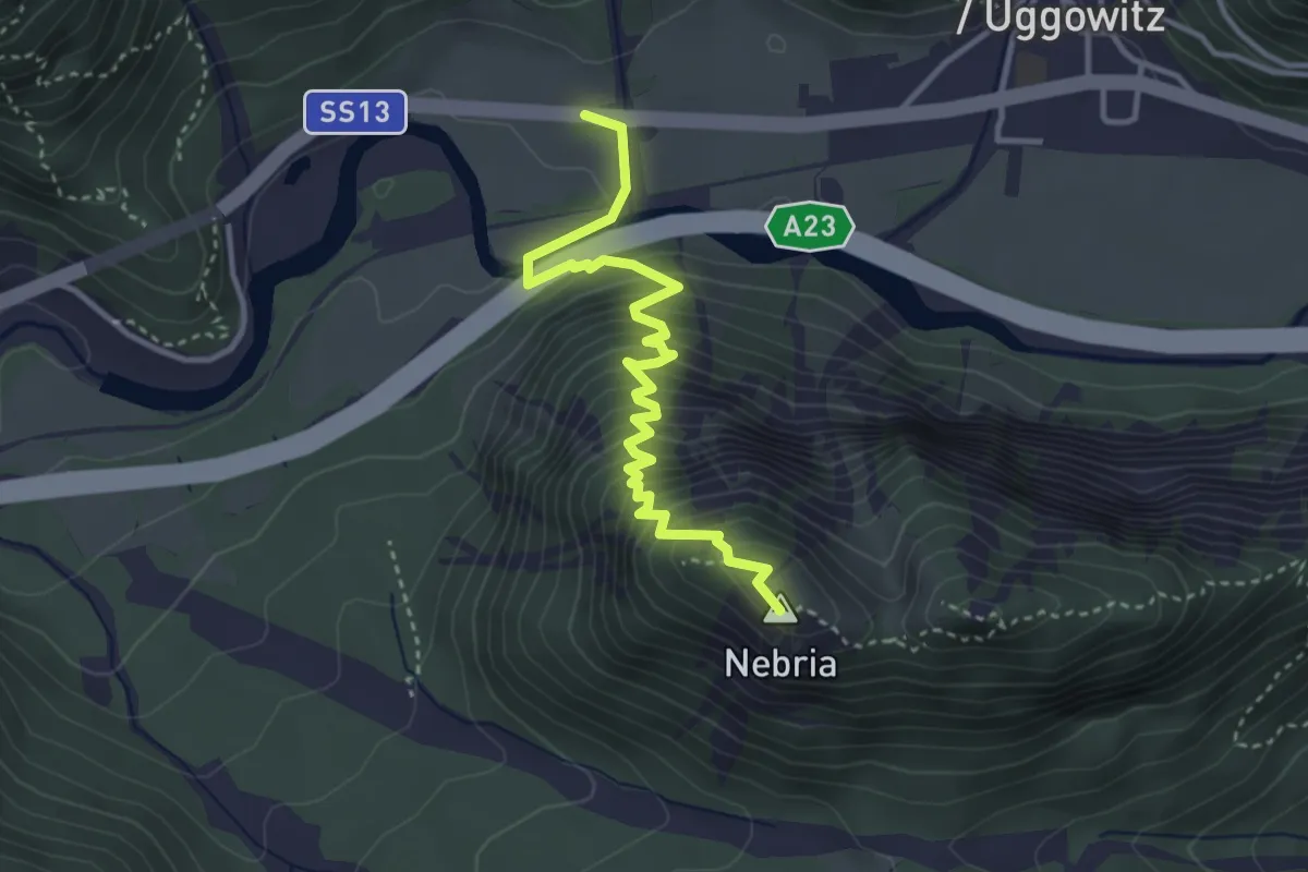
Demanding · Summit
Ugovizza (quota 770 m) – Valbruna (quota 810 m)
3.8 km · ↑ 421 m · 1 h 49 min · 9 km away
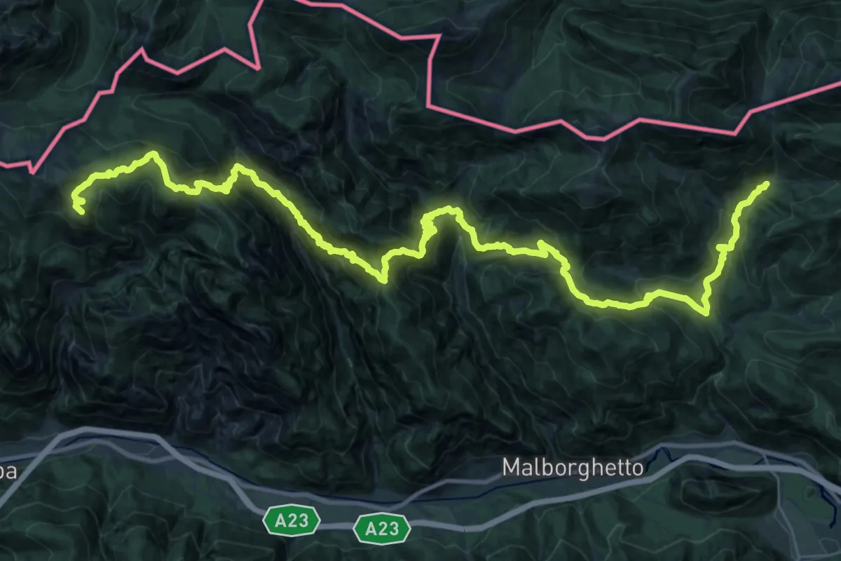
Demanding · Summit
Passo Pramollo (quota 1528 m) – Ex Rifugio Nordio-Deffar (quota 1210 m)
41.2 km · ↑ 3145 m · 16 h 32 min · 9 km away
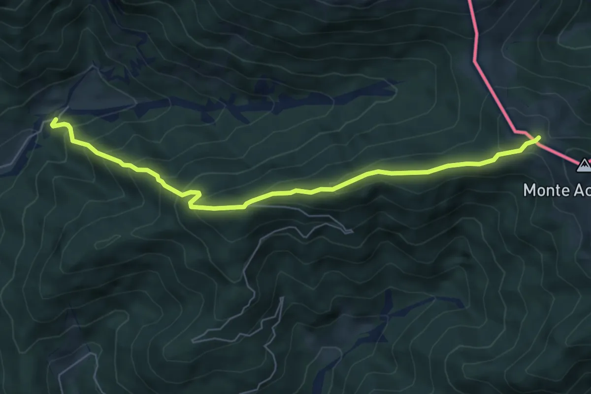
Medium · Trail
Bivio sentiero n. 507 (quota 1200 m) – Bivio sentiero n. 508 (quota 1712 m)
6.4 km · ↑ 516 m · 2 h 38 min · 9 km away
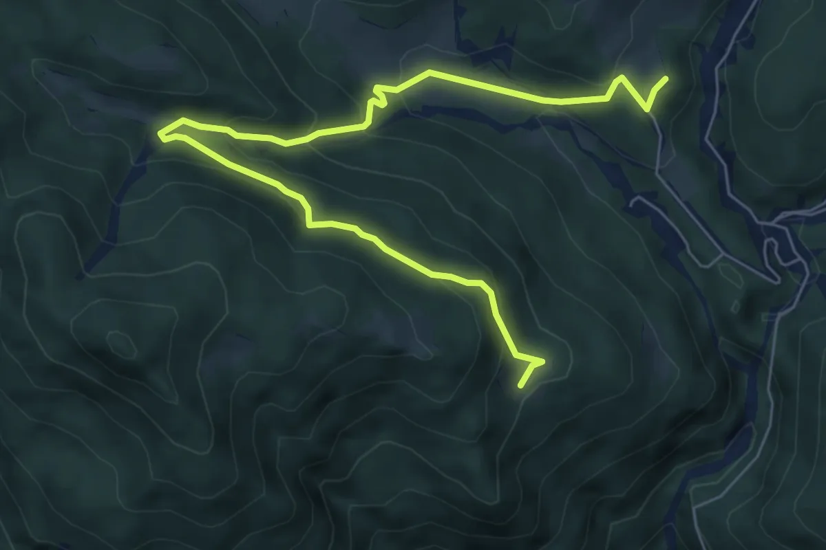
Demanding · Cabin
Puanina Tour (T2)
7.9 km · ↑ 462 m · 2 h 52 min · 9 km away
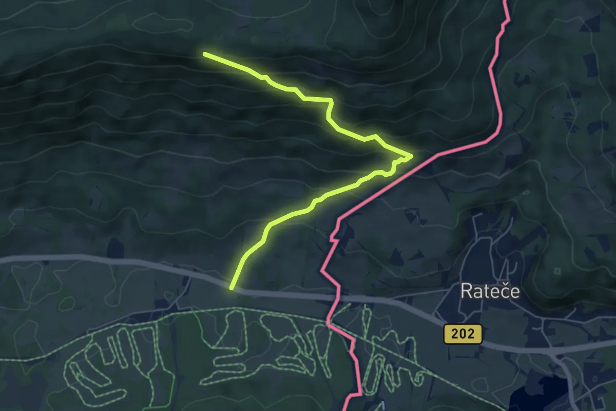
Medium · Trail
ex caserma G.di F. di Fusine Valromana – Monte Forno / tre confini – Dreilandereck – Tromeja (quota 1508 m)
6.0 km · ↑ 487 m · 2 h 29 min · 9 km away
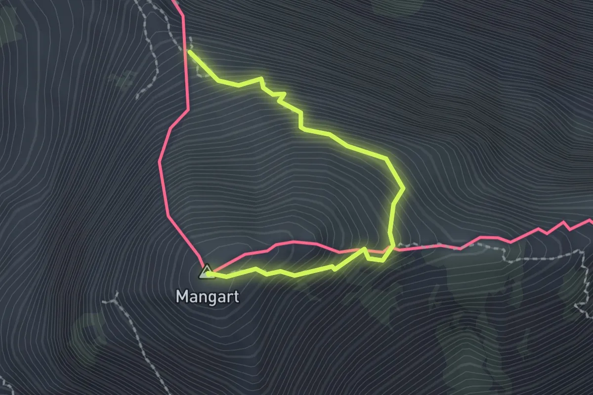
Demanding · Summit
fine ferrata italiana (quota 2283 m) – Monte Mangart (quota 2679 m)
2.1 km · ↑ 384 m · 1 h 19 min · 9 km away
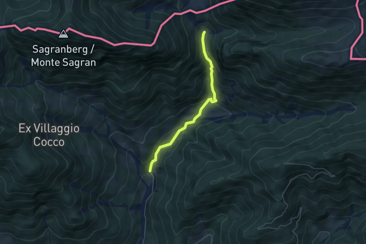
Easy · Cabin
Puanina Tour (E1)
4.3 km · ↑ 273 m · 1 h 36 min · 9 km away
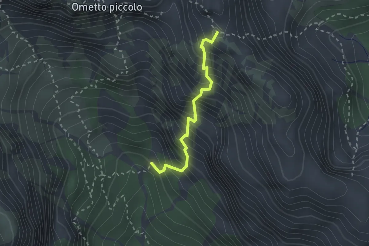
Expert · Trail
Via Ferrata “Mario Lonzar”
1.8 km · ↑ 473 m · 1 h 27 min · 9 km away
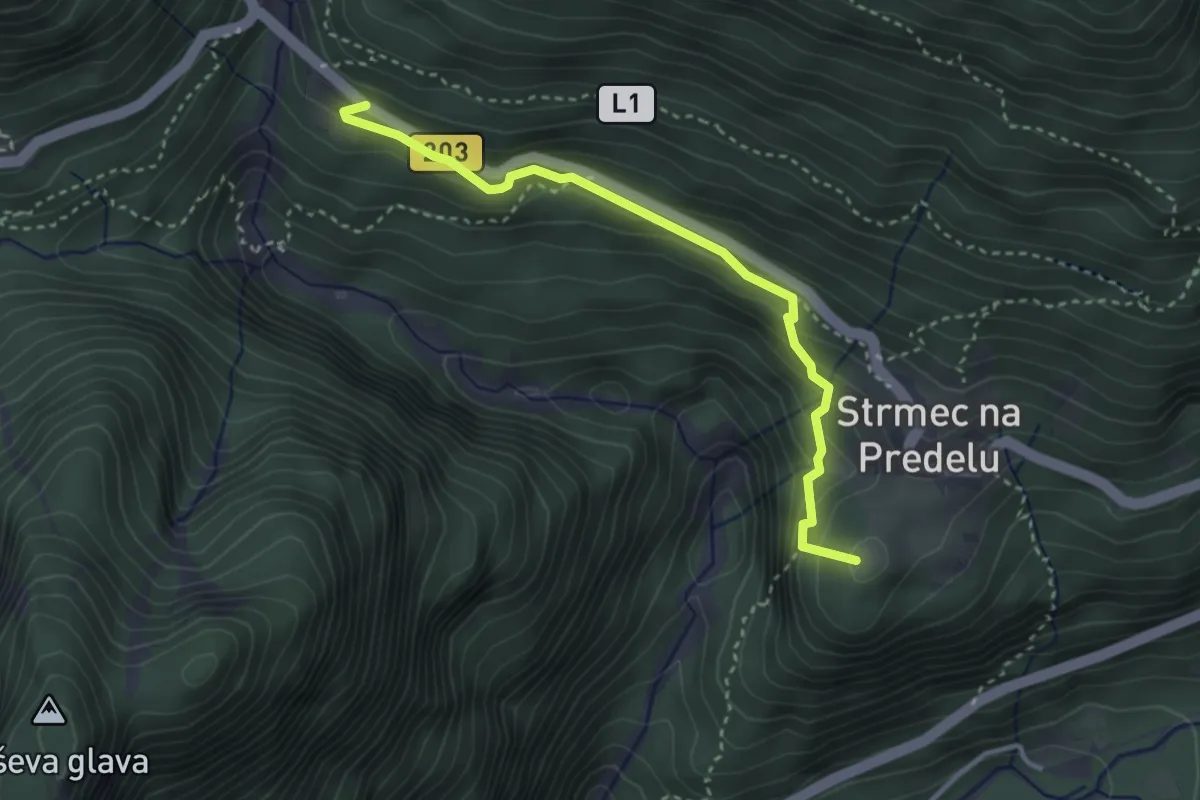
Demanding · Summit
Log - Mangartska pl. - Mangartsko sedlo
3.2 km · ↑ 244 m · 1 h 18 min · 9 km away
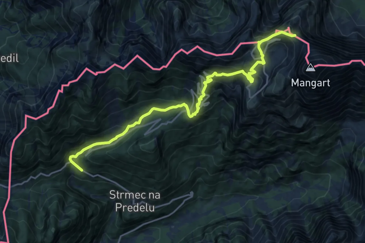
Demanding · Summit
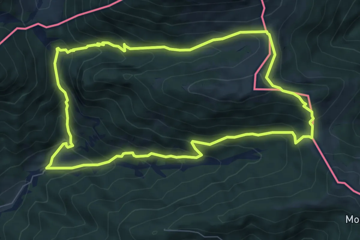
Log - Mangartska pl. - Mangartsko sedlo
15.0 km · ↑ 1188 m · 6 h 8 min · 9 km away
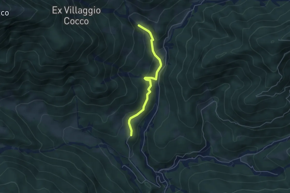
Medium · Cabin
Bivio sentiero n. 507a (quota 1200 m) – Bivio sentiero n. 507a (quota 1200 m)
7.3 km · ↑ 548 m · 3 h 1 min · 9 km away
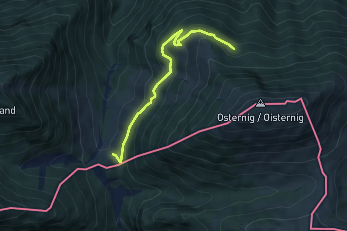
Easy · Cabin
Puanina Tour (T3)
4.1 km · ↑ 202 m · 1 h 24 min · 9 km away
Easy · Cabin
Wanderweg 477
4.8 km · ↑ 232 m · 1 h 38 min · 10 km away
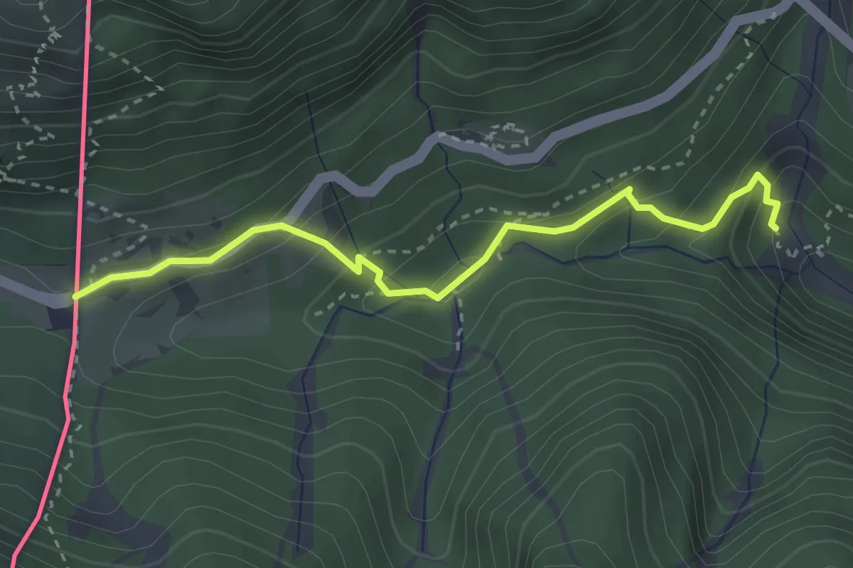
Medium · Trail
Juliana Trail
3.1 km · ↑ 234 m · 1 h 14 min · 10 km away
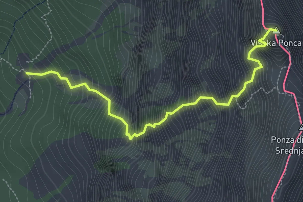
Expert · Summit
Via normale Ponza Grande
3.2 km · ↑ 903 m · 2 h 43 min · 10 km away
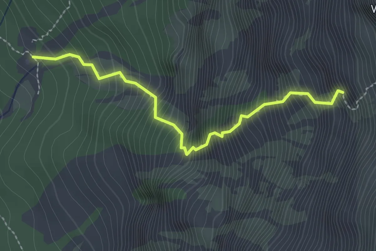
Demanding · Trail
Rifugio Zacchi bivio sentiero n. 513 (quota 1380 m) – Attacco via ferrata alla“Ponza Grande” (quota 2065 m)
2.3 km · ↑ 647 m · 1 h 56 min · 10 km away
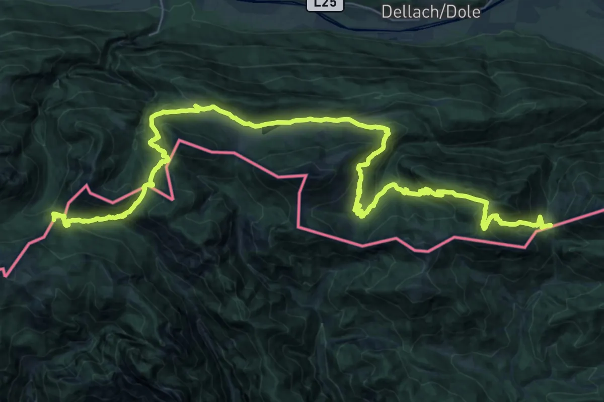
Demanding · Summit
Südalpenweg 03 - Etappe 19
43.3 km · ↑ 1899 m · 14 h 20 min · 10 km away
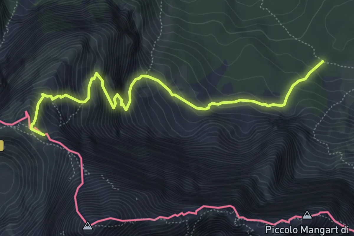
Demanding · Summit
Alpe Vecchia Bivio sentiero n. 513 (quota 1307 m) – Forcella Mangart (quota 2166 m)
6.5 km · ↑ 885 m · 3 h 27 min · 10 km away
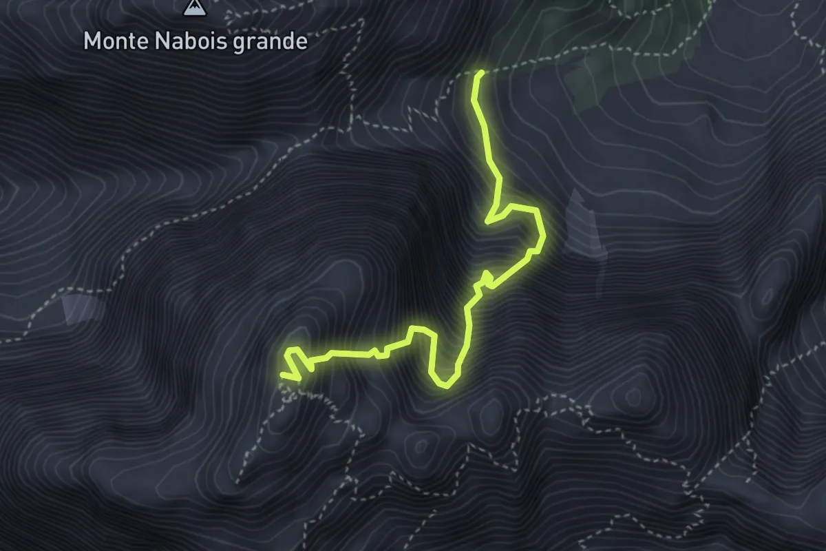
Expert · Summit
Gola Nord Est
3.9 km · ↑ 1268 m · 3 h 40 min · 10 km away
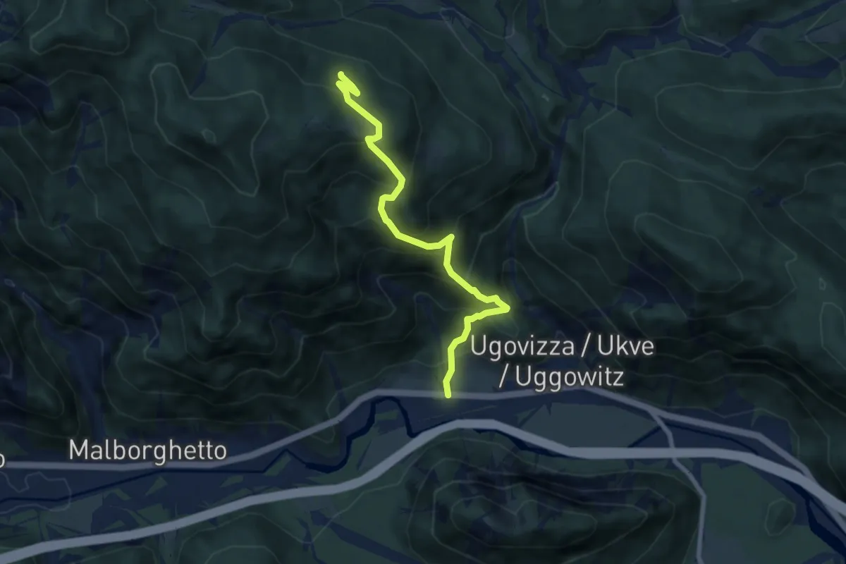
Medium · Trail
Ugovizza (quota 770 m) – Bivio sentiero n. 504a (quota 1340 m)
6.9 km · ↑ 736 m · 3 h 14 min · 10 km away
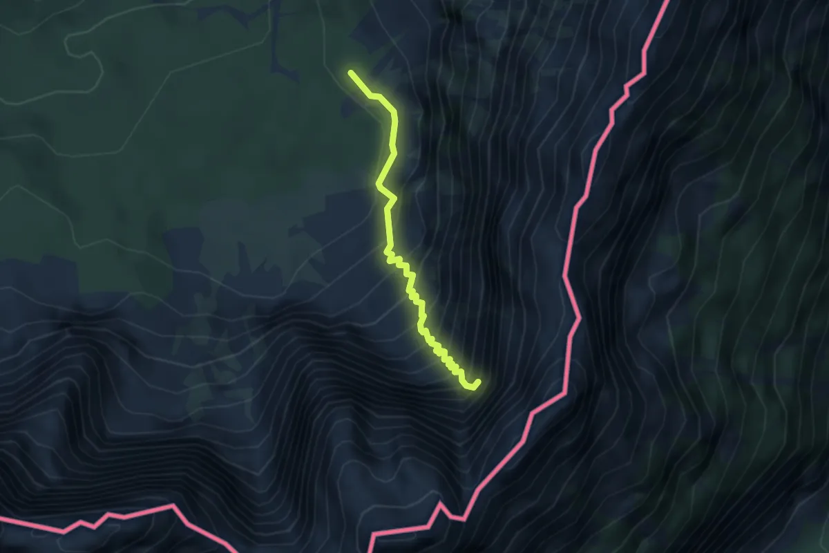
Demanding · Trail
Bivio sentiero n. 513 (quota 1355 m) – Attacco via ferrata “Kugy alla Strugova” (quota 1800 m)
3.1 km · ↑ 633 m · 2 h 7 min · 10 km away
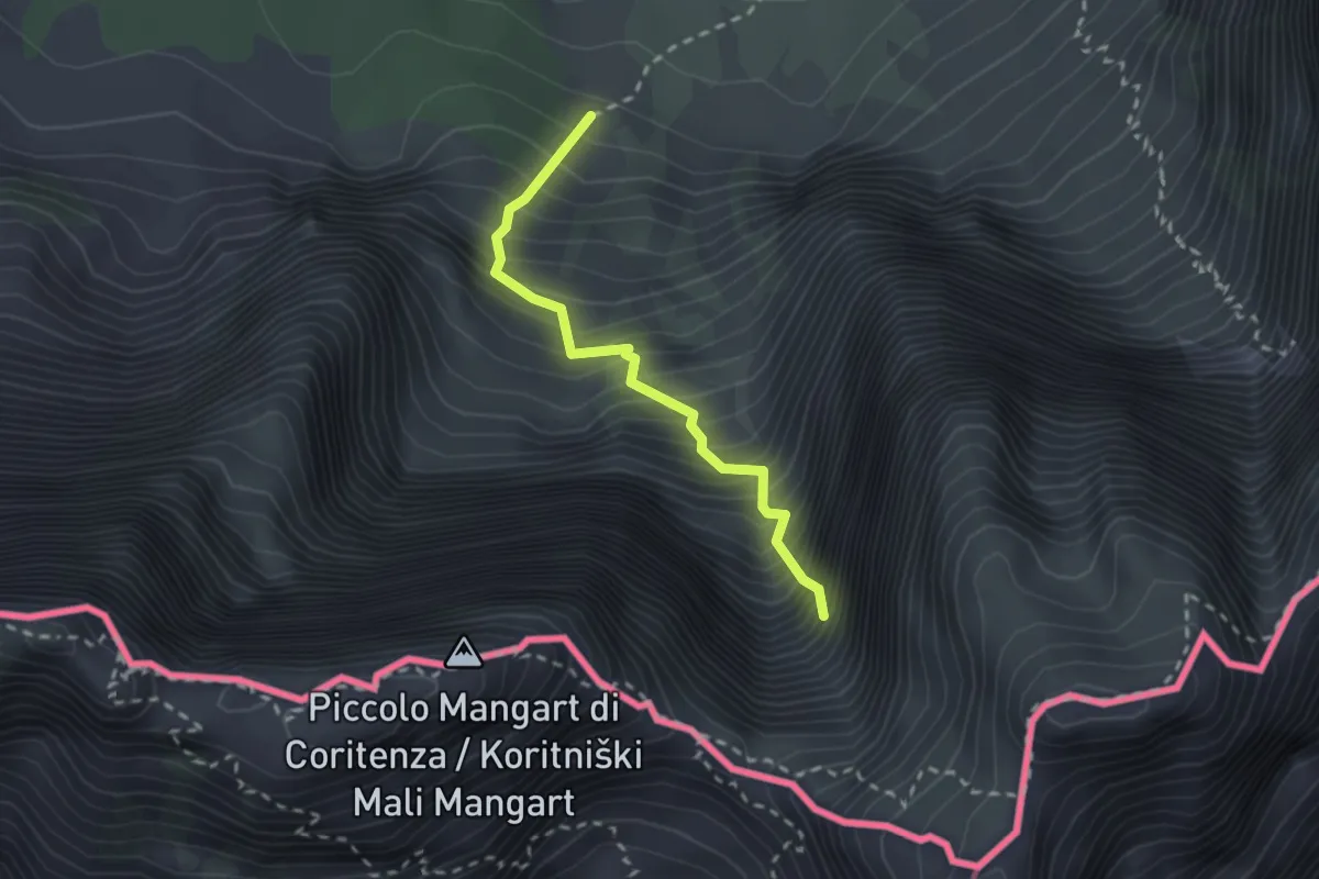
Demanding · Trail
Sentiero “Via della Vita”
2.2 km · ↑ 598 m · 1 h 49 min · 10 km away
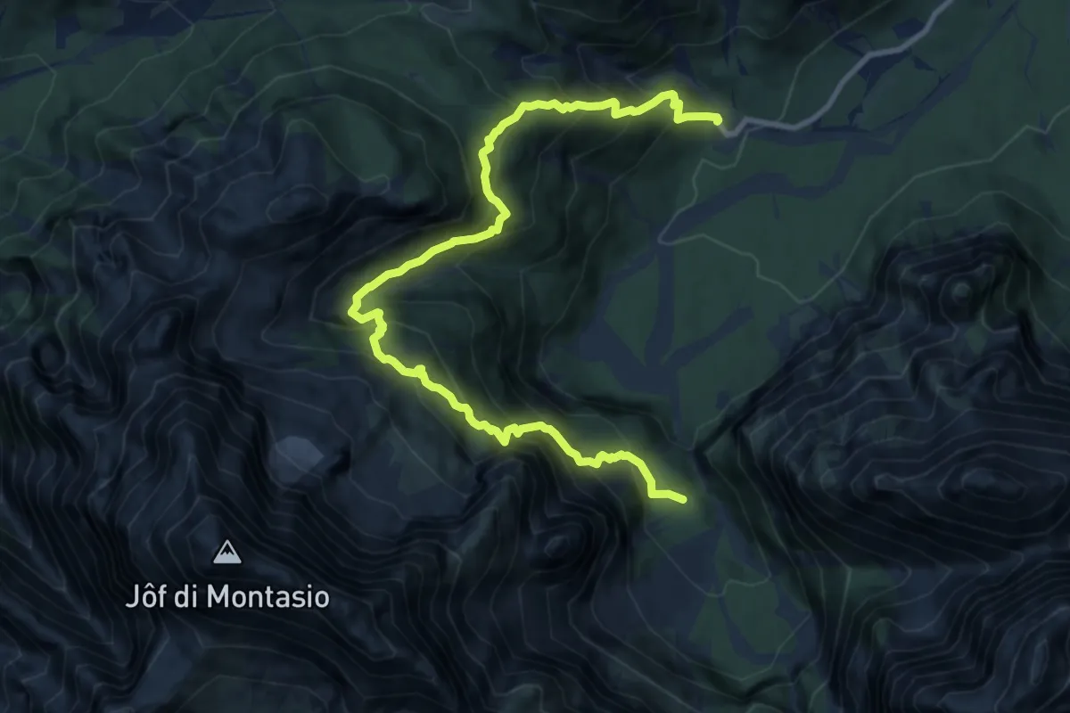
Expert · Trail
Malga Saisera (quota 1004 m) – Spragna Bivio sentiero n° 616 (quota 1080 m)
12.0 km · ↑ 1455 m · 5 h 59 min · 10 km away
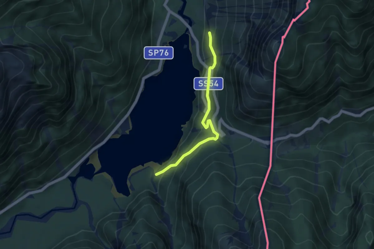
Easy · Trail
Giro del Lago
3.5 km · ↑ 288 m · 1 h 28 min · 10 km away
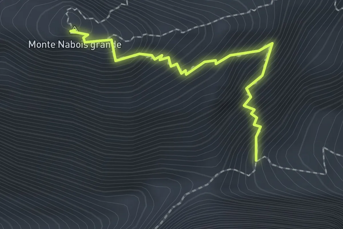
Expert · Summit
Via Normale al Nabois Grande
1.9 km · ↑ 324 m · 1 h 9 min · 10 km away
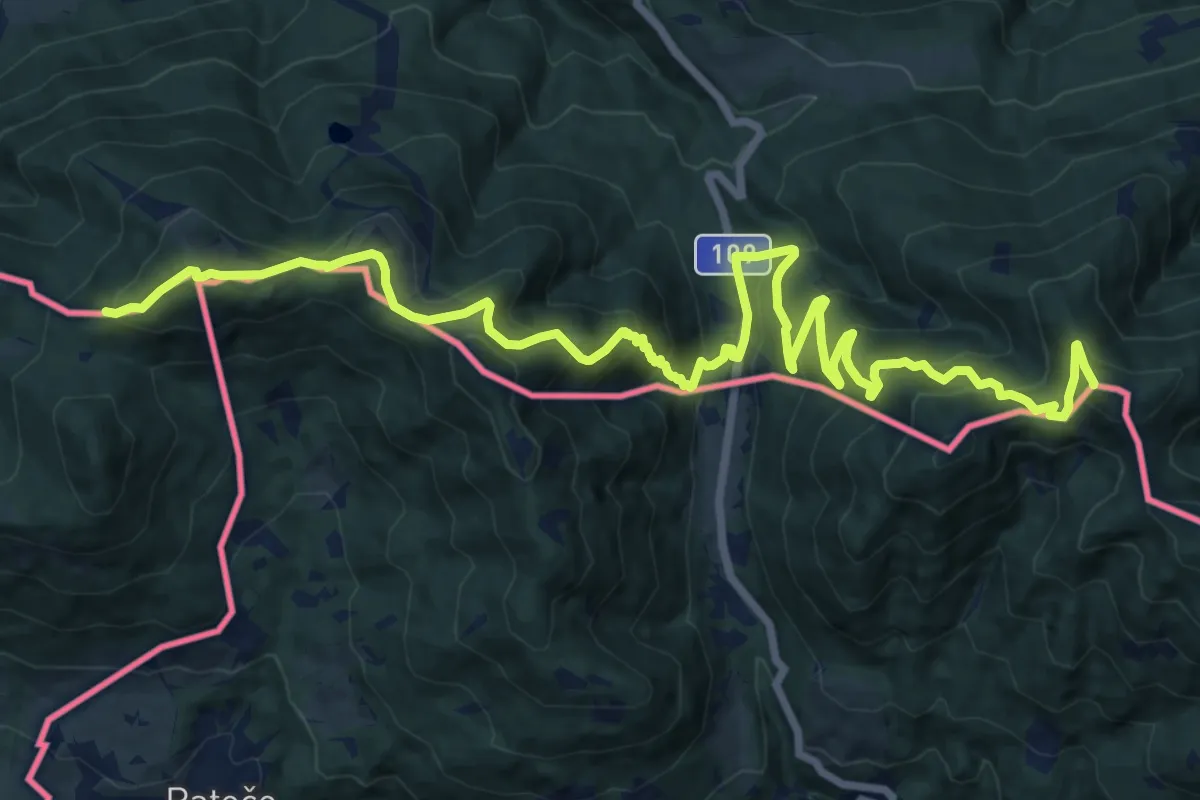
Demanding · Summit
Karawankenwanderweg
19.5 km · ↑ 1296 m · 7 h 25 min · 10 km away
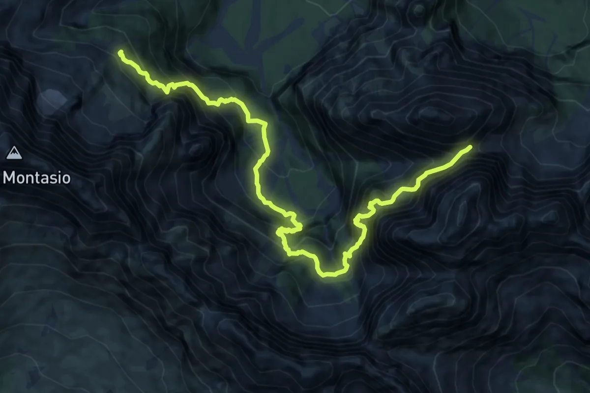
Expert · Cabin
Sentiero Carlo Chersi
7.2 km · ↑ 853 m · 3 h 51 min · 10 km away
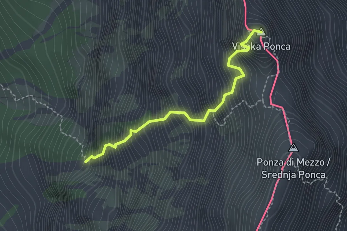
Expert · Summit
via ferrata Ponza Grande
2.0 km · ↑ 666 m · 1 h 55 min · 10 km away
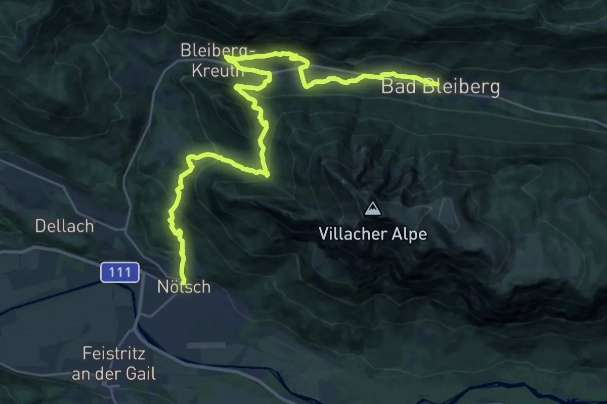
Medium · Trail
Weg des Buches - Etappe 11
13.7 km · ↑ 776 m · 4 h 57 min · 10 km away
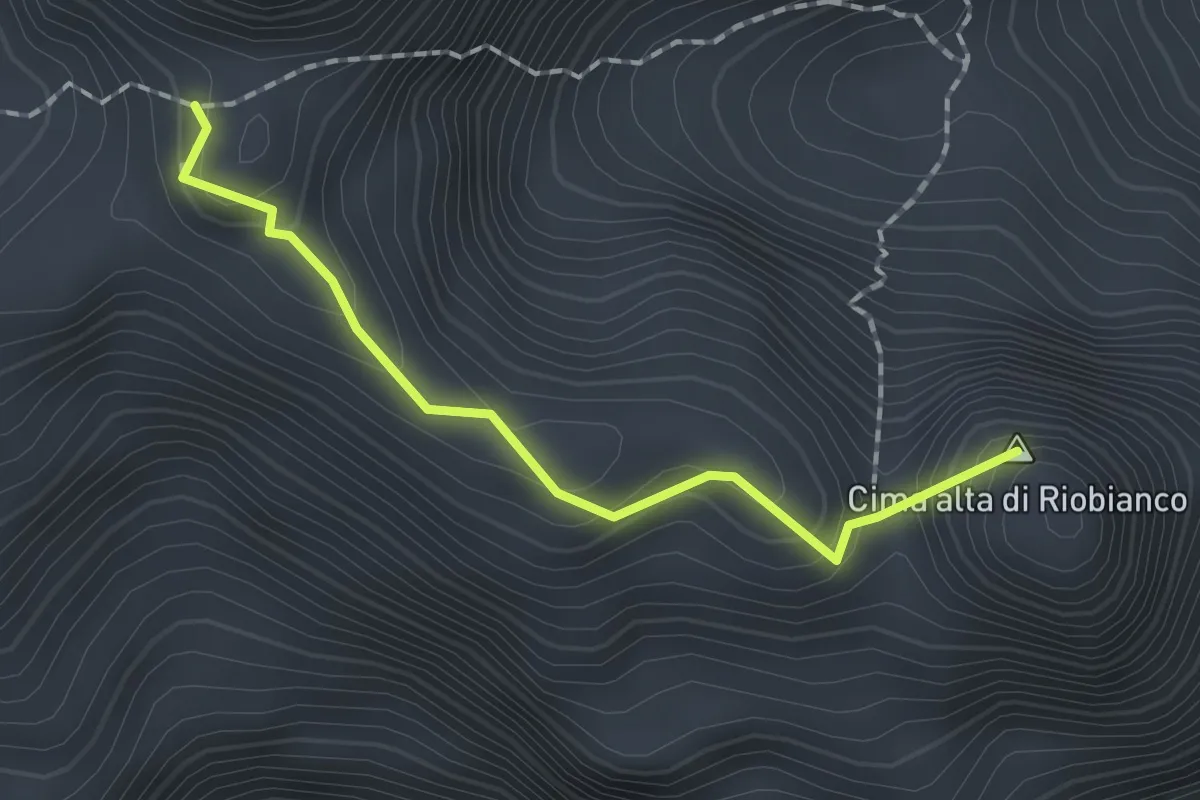
Expert · Summit
Sentiero del Centenario
1.6 km · ↑ 131 m · 40 min · 10 km away
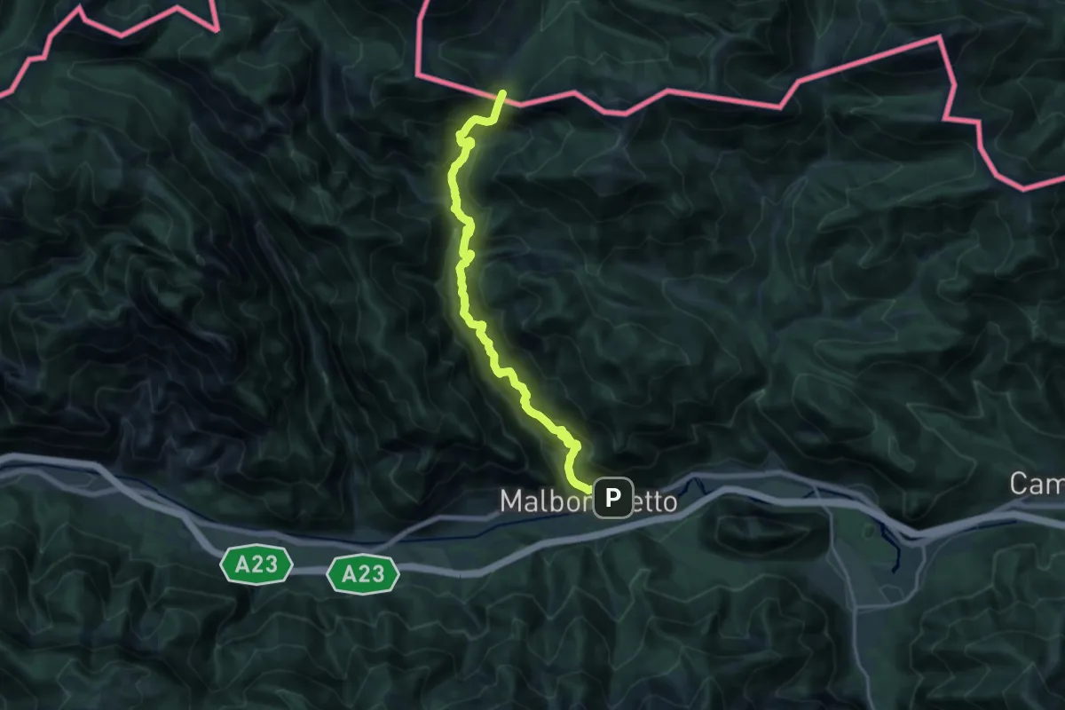
Demanding · Trail
Malborghetto (quota 728 m) – Sella della Caldiera (quota 1477 m)
17.5 km · ↑ 1481 m · 7 h 20 min · 10 km away
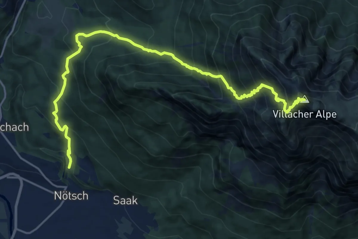
Demanding · Summit
Wanderweg Noetsch - Dobratsch
15.0 km · ↑ 1583 m · 6 h 58 min · 10 km away
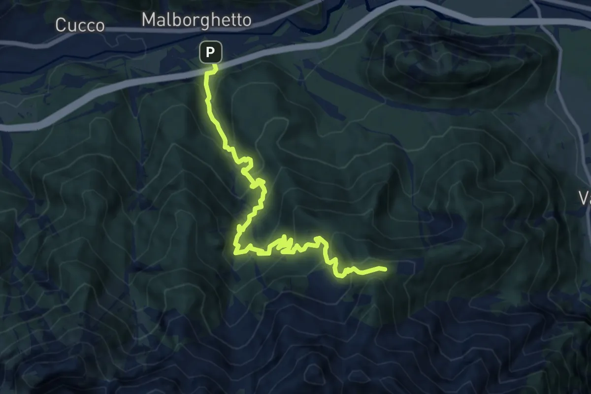
Demanding · Trail
Malborghetto (quota 715 m) – Bivio sentiero n. 607 (quota 1600 m))
11.2 km · ↑ 1024 m · 4 h 51 min · 11 km away
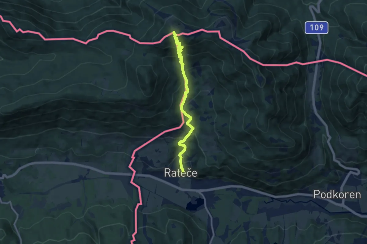
Medium · Summit
Rateče - Peč (Tromeja)
7.9 km · ↑ 644 m · 3 h 15 min · 11 km away
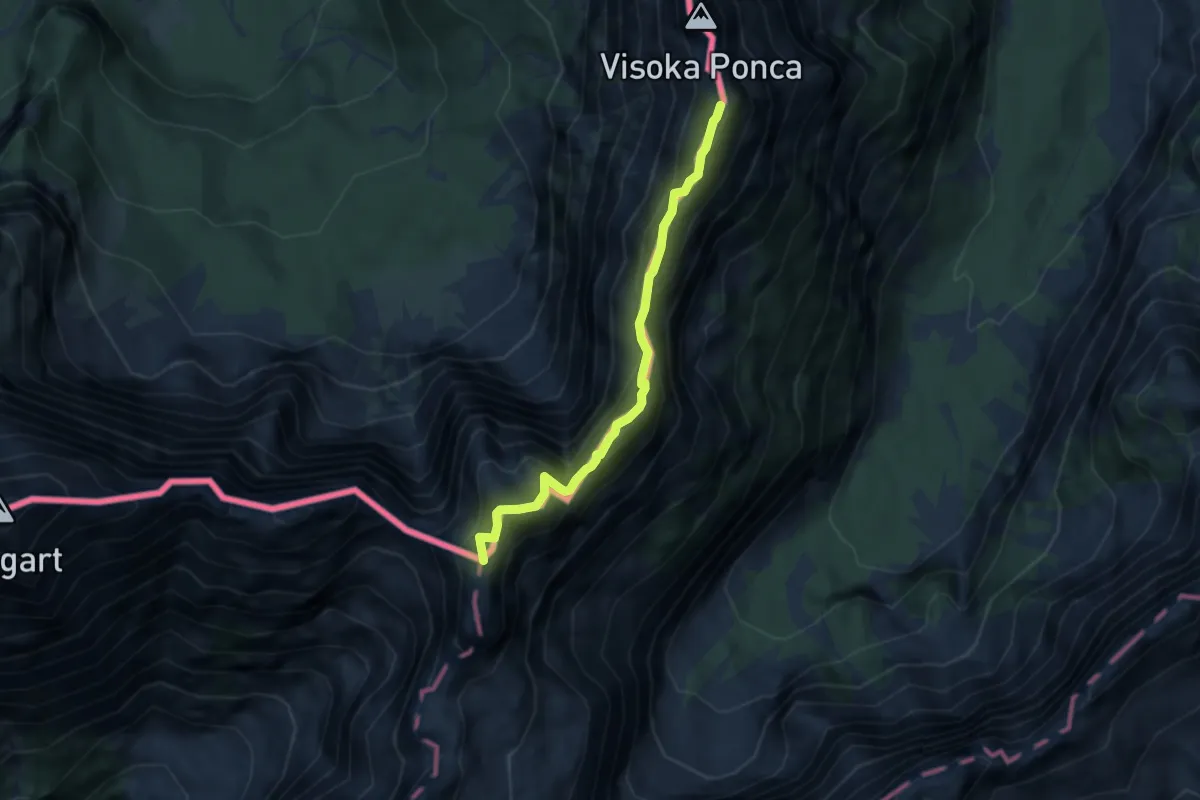
Expert · Summit
Via degli Alpini
5.7 km · ↑ 429 m · 2 h 17 min · 11 km away
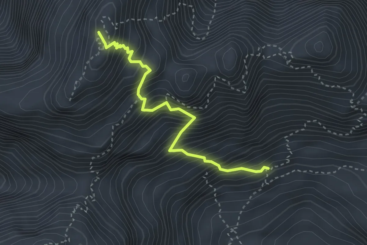
Expert · Summit
Via Normale Jôf Fuart
2.9 km · ↑ 606 m · 2 h · 11 km away
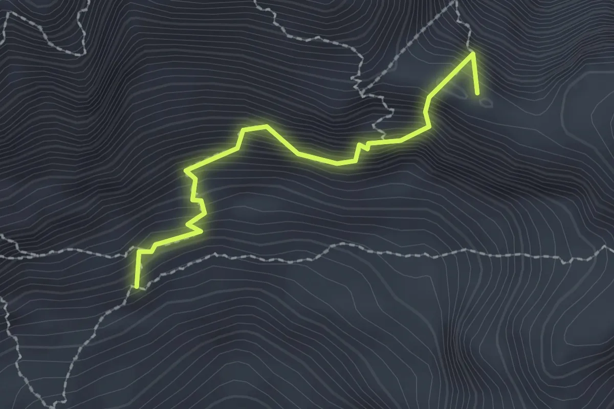
Expert · Summit
Via Ferrata F. Cavalieri
2.0 km · ↑ 394 m · 1 h 19 min · 11 km away