Trails near Tarvisio
167 hikes starting within 15 km, nearest first.
Nearest first, page 3 of 4
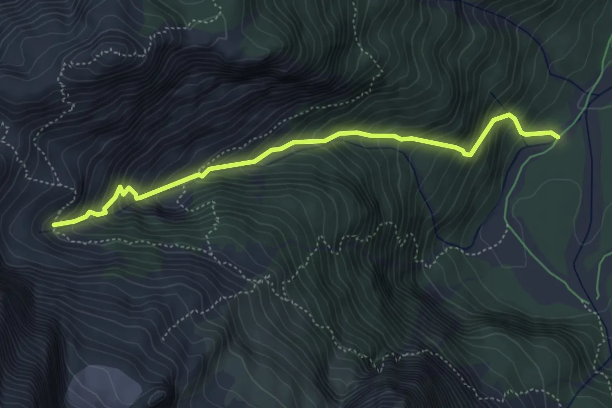
Demanding · Trail
Malga Saisera (quota 1004 m) – Bivio sentiero n. 652 (quota 1609 m)
4.9 km · ↑ 596 m · 2 h 26 min · 11 km away
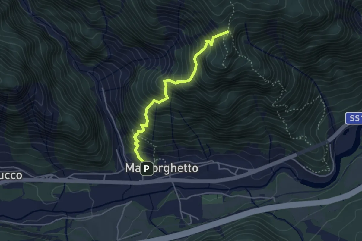
Medium · Trail
Soldatenweg
3.4 km · ↑ 559 m · 2 h 1 min · 11 km away
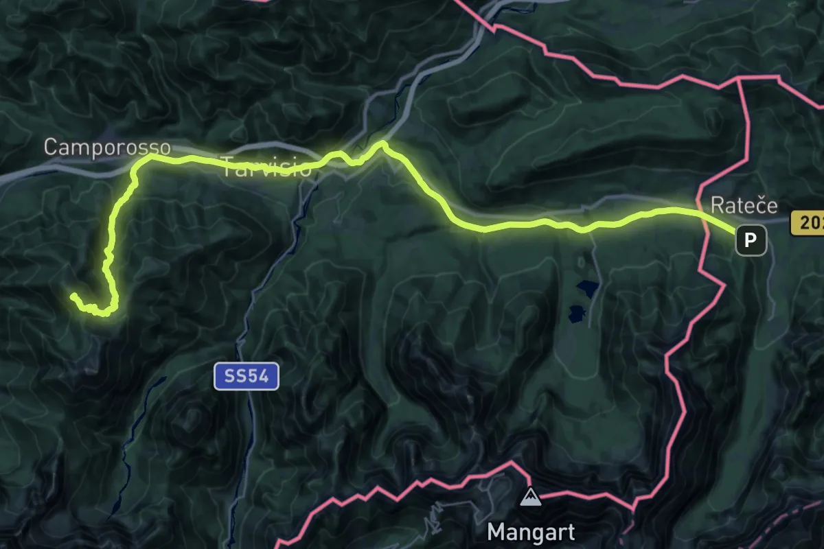
Demanding · Summit
Jakobova pot – Gorenjska veja
20.5 km · ↑ 1151 m · 7 h 10 min · 11 km away
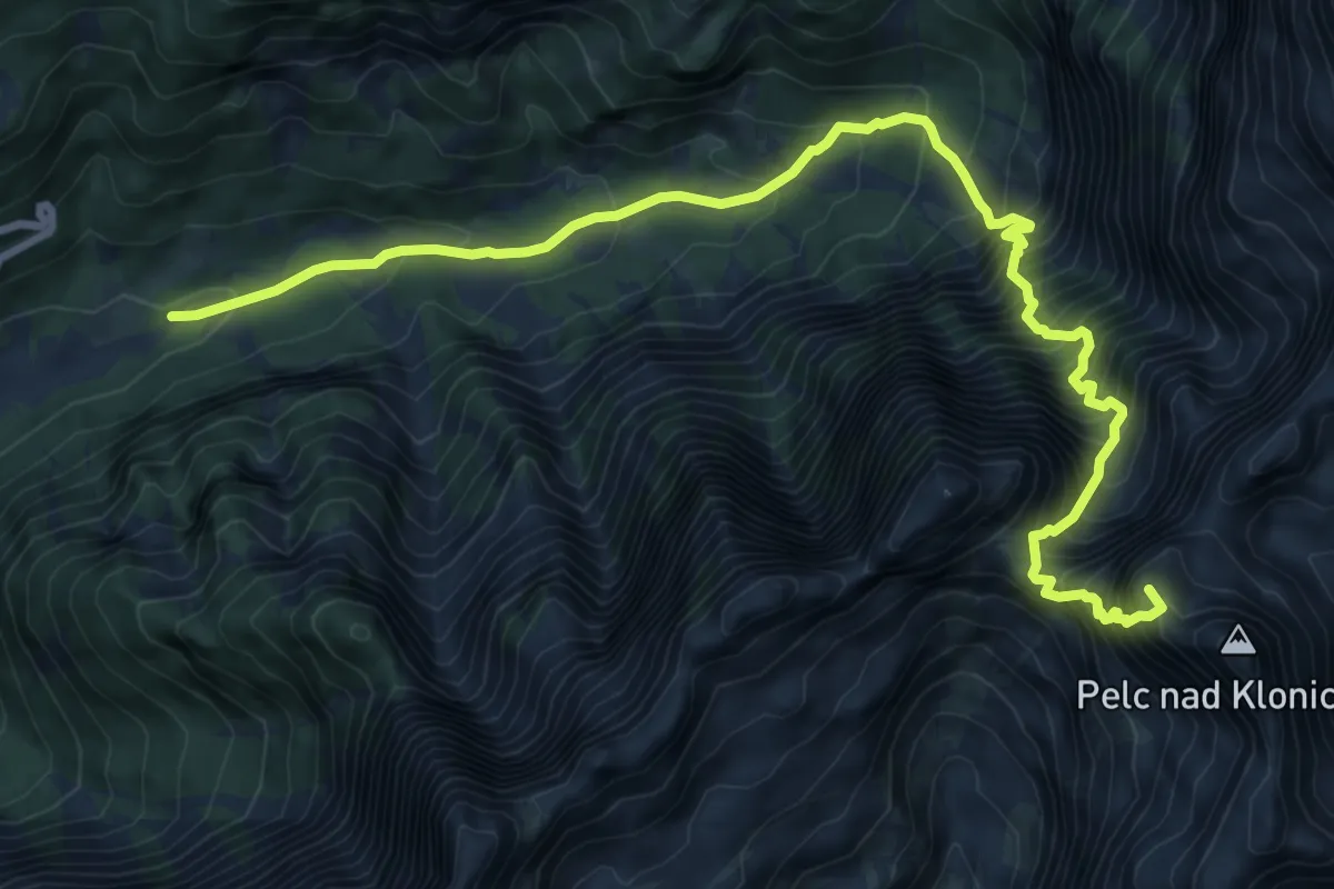
Expert · Summit
Loška Koritnica - Zavetišče pod Špičkom
10.7 km · ↑ 1593 m · 5 h 58 min · 11 km away
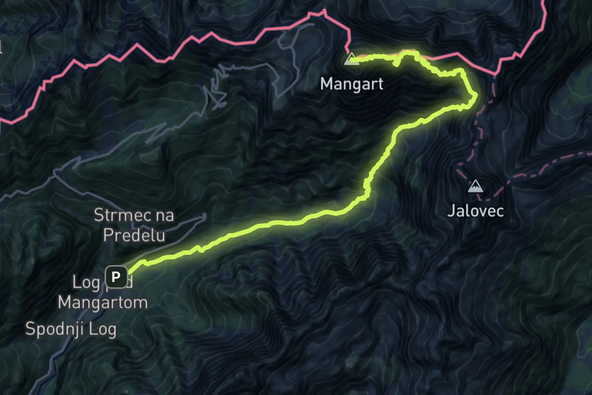
Expert · Summit
Log - Mangart
21.1 km · ↑ 2460 m · 10 h 19 min · 11 km away
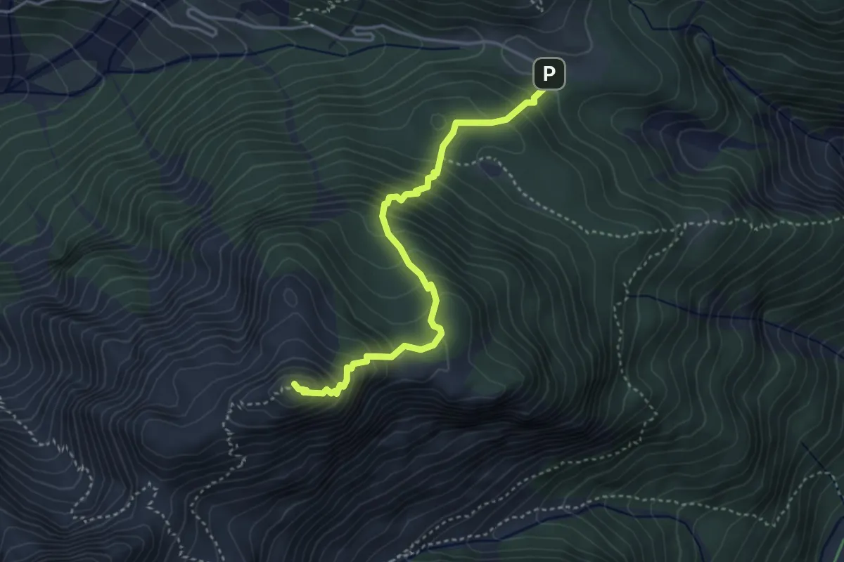
Medium · Summit
Sella Somdogna (quota 1397 m) – Jôf di Somdogna – Bivio sentiero n. 652 (quota 1889 m)
3.8 km · ↑ 443 m · 1 h 52 min · 11 km away
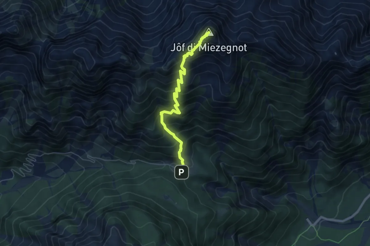
Expert · Summit
Sella Somdogna (quota 1397 m) – Jôf di Miezegnot (quota 2087 m)
5.4 km · ↑ 700 m · 2 h 47 min · 11 km away
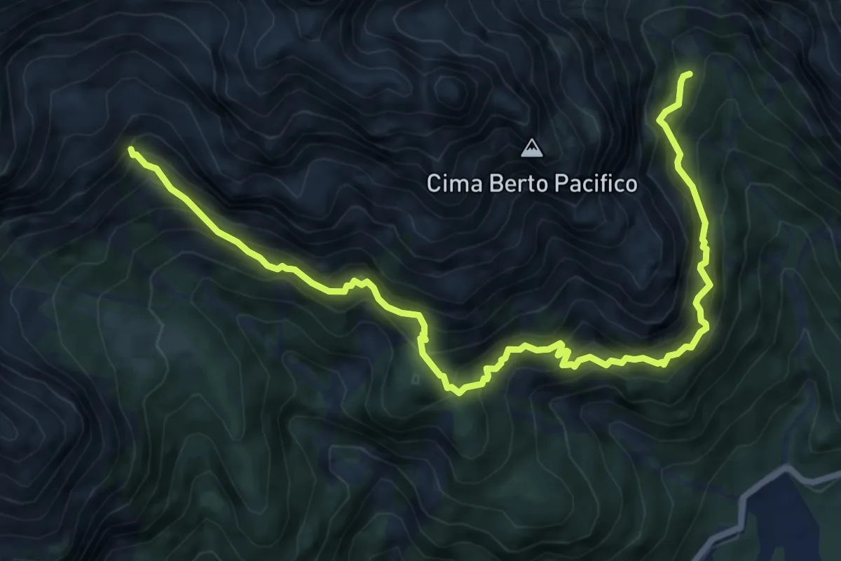
Expert · Cabin
Sentiero Re di Sassonia
8.8 km · ↑ 1224 m · 4 h 44 min · 11 km away
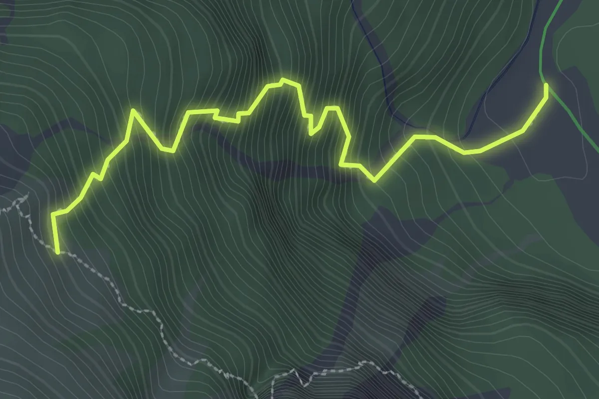
Demanding · Cabin
Sentiero Alfonso Della Mea
3.2 km · ↑ 563 m · 1 h 59 min · 11 km away
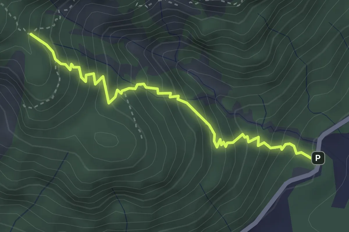
Medium · Trail
Val Rio del Lago (quota 989 m) – Bivio sentiero n. 629 (quota 1430 m)
3.6 km · ↑ 474 m · 1 h 53 min · 11 km away
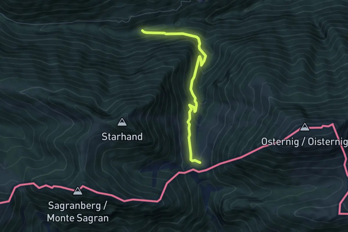
Medium · Cabin
Wanderweg 479
6.0 km · ↑ 408 m · 2 h 18 min · 11 km away
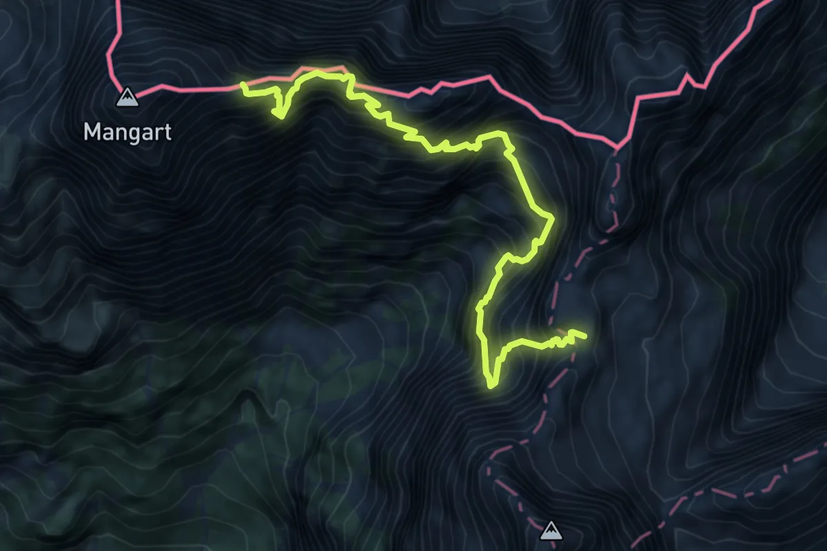
Expert · Summit
Kotovo sedlo - Mangart
8.4 km · ↑ 1636 m · 5 h 32 min · 12 km away
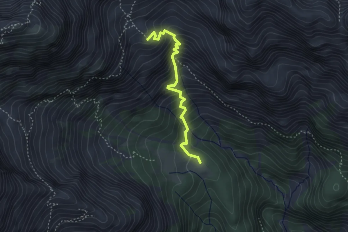
Demanding · Cabin
Sentiero dei Tedeschi
3.1 km · ↑ 406 m · 1 h 37 min · 12 km away
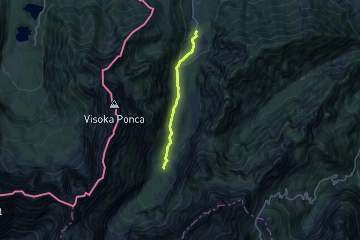
Easy · Cabin
Planica - Dom v Tamarju
7.6 km · ↑ 178 m · 2 h 11 min · 12 km away
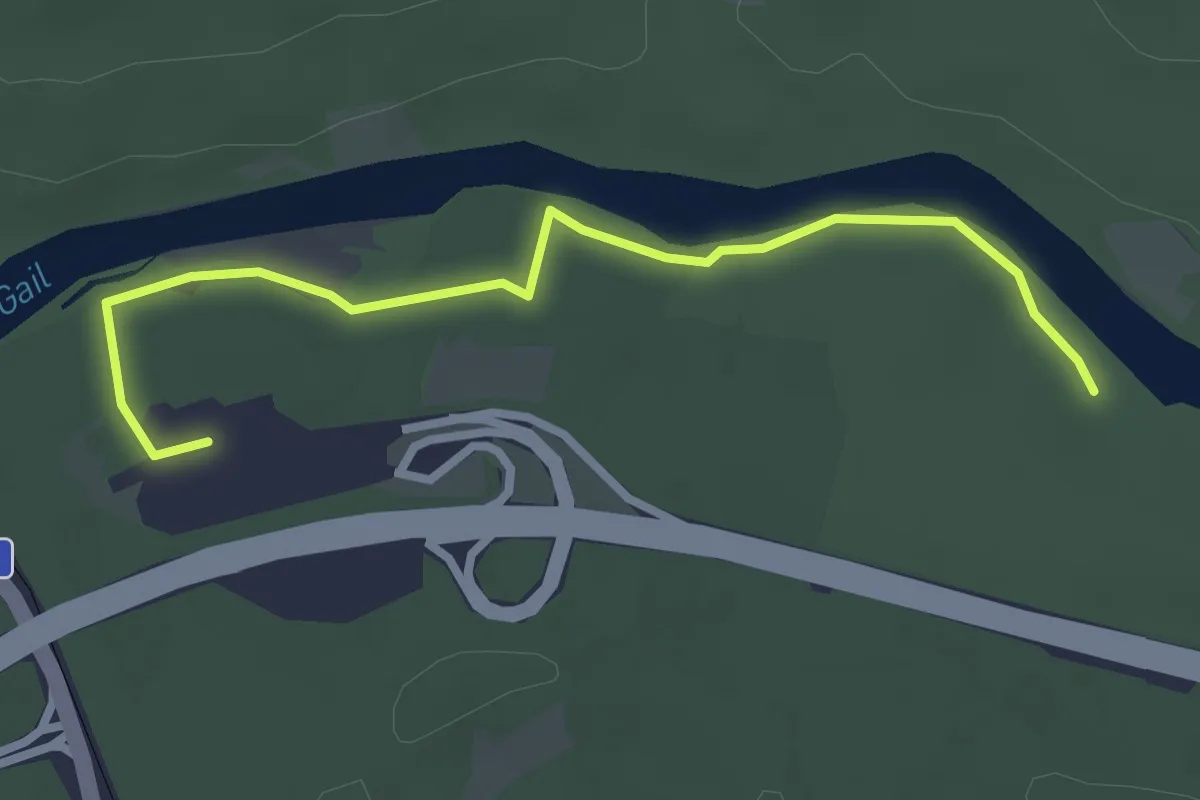
Easy · Trail
Waldweg zur Südrast
3.3 km · ↑ 9 m · 48 min · 12 km away
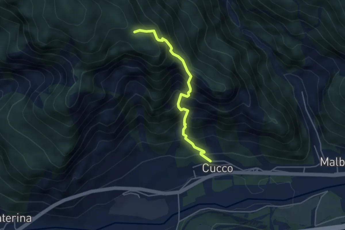
Medium · Trail
Località Cucco di Malborghetto (quota 700 m) – Incrocio sentiero n. 502 (quota 1300 m)
3.5 km · ↑ 607 m · 2 h 8 min · 12 km away
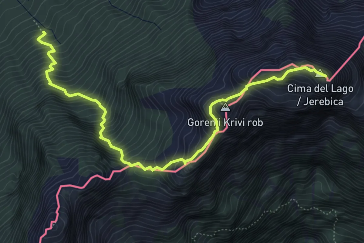
Expert · Summit
Val Rio del Lago (quota 980 m) – Cima del Lago (quota 2125 m)
6.9 km · ↑ 966 m · 3 h 43 min · 12 km away
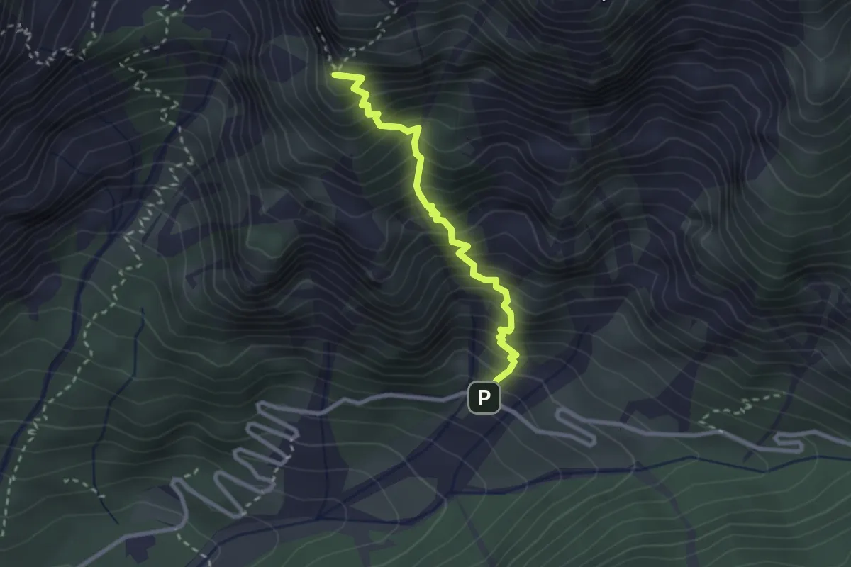
Demanding · Trail
Sentiero Arturo Ziffer
2.5 km · ↑ 476 m · 1 h 37 min · 12 km away
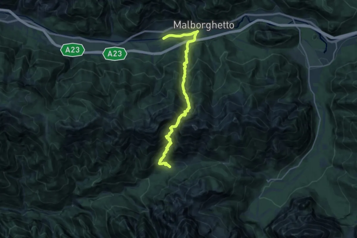
Demanding · Cabin
Malborghetto (quota 710 m) – Plan dei Spadovai in Val Dogna (quota 1075 m)
8.6 km · ↑ 1147 m · 4 h 25 min · 12 km away
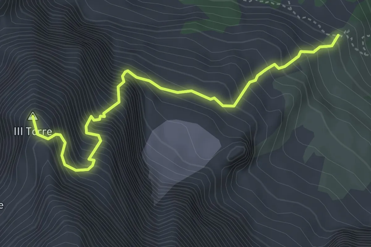
Expert · Summit
Via Amalia
4.2 km · ↑ 1052 m · 3 h 16 min · 12 km away
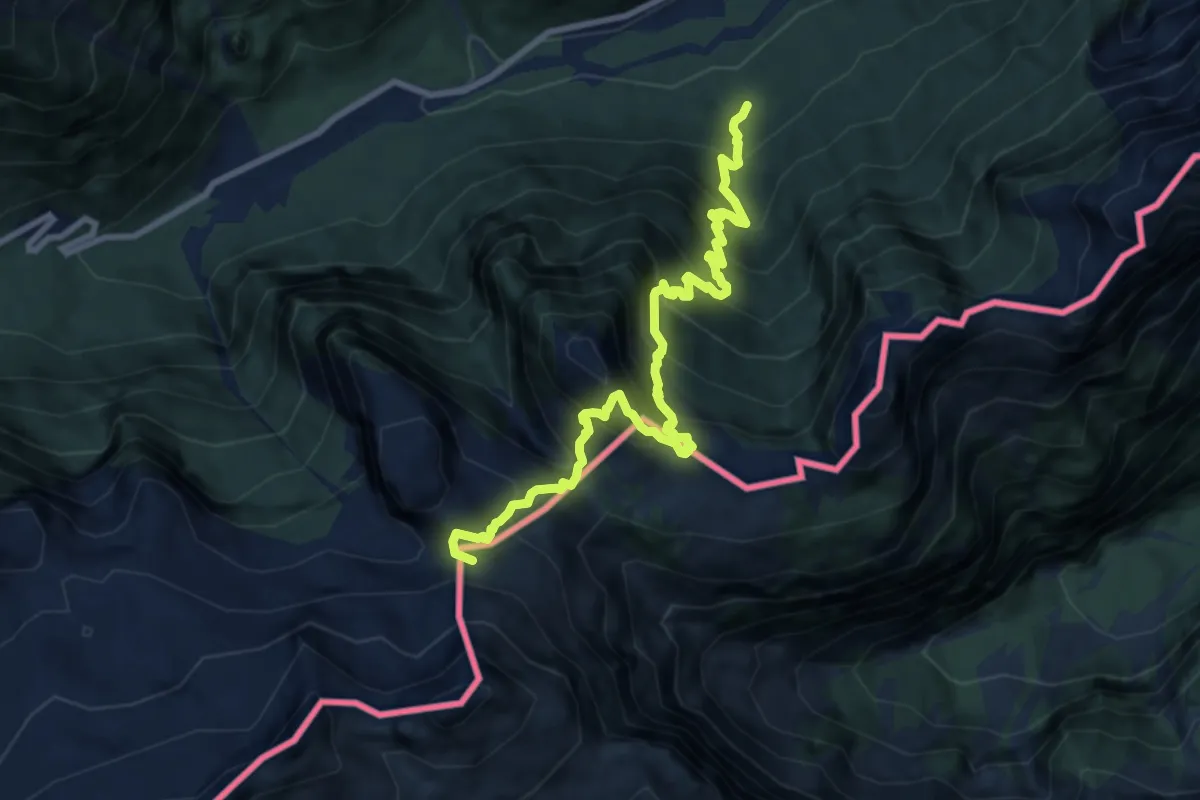
Expert · Summit
Val Rio del Lago (quota 980 m) – Sella Robon (quota 1896 m)
9.7 km · ↑ 1199 m · 4 h 54 min · 12 km away
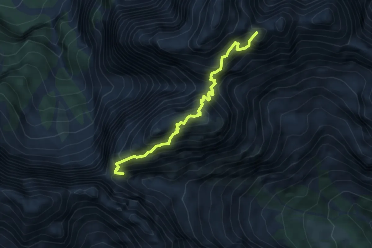
Expert · Summit
Sentiero Anita Goitan
4.7 km · ↑ 900 m · 3 h 4 min · 12 km away
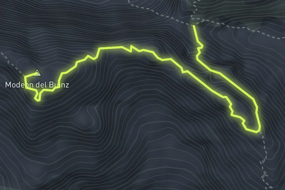
Expert · Summit
Sentiero Ceria Merlone
4.6 km · ↑ 629 m · 2 h 27 min · 12 km away
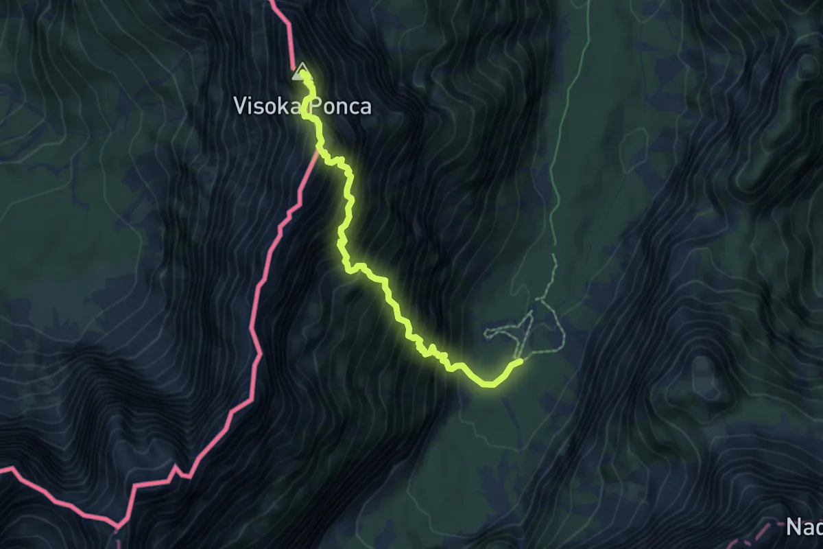
Expert · Summit
Tamar - Srednja Ponca - Visoka Ponca
6.2 km · ↑ 1265 m · 4 h 12 min · 12 km away
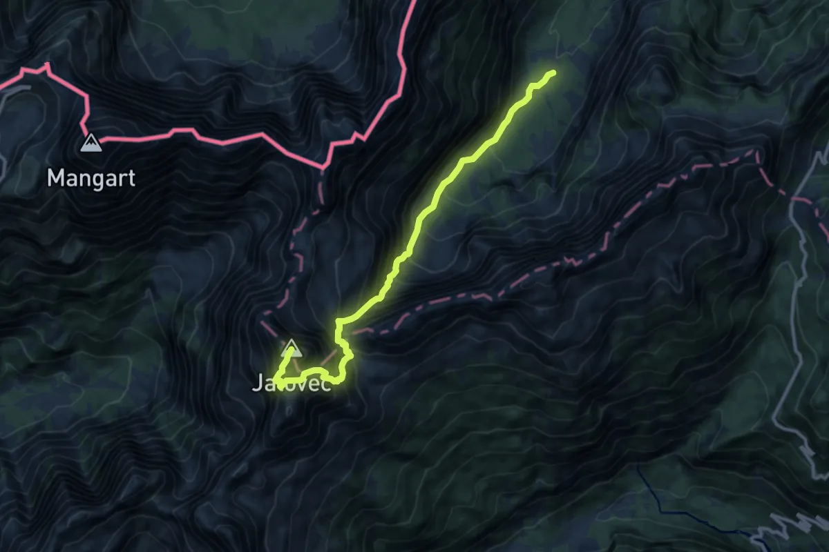
Expert · Summit
Tamar - Jalovška škrbina - Jalovec
10.8 km · ↑ 1602 m · 6 h 1 min · 12 km away
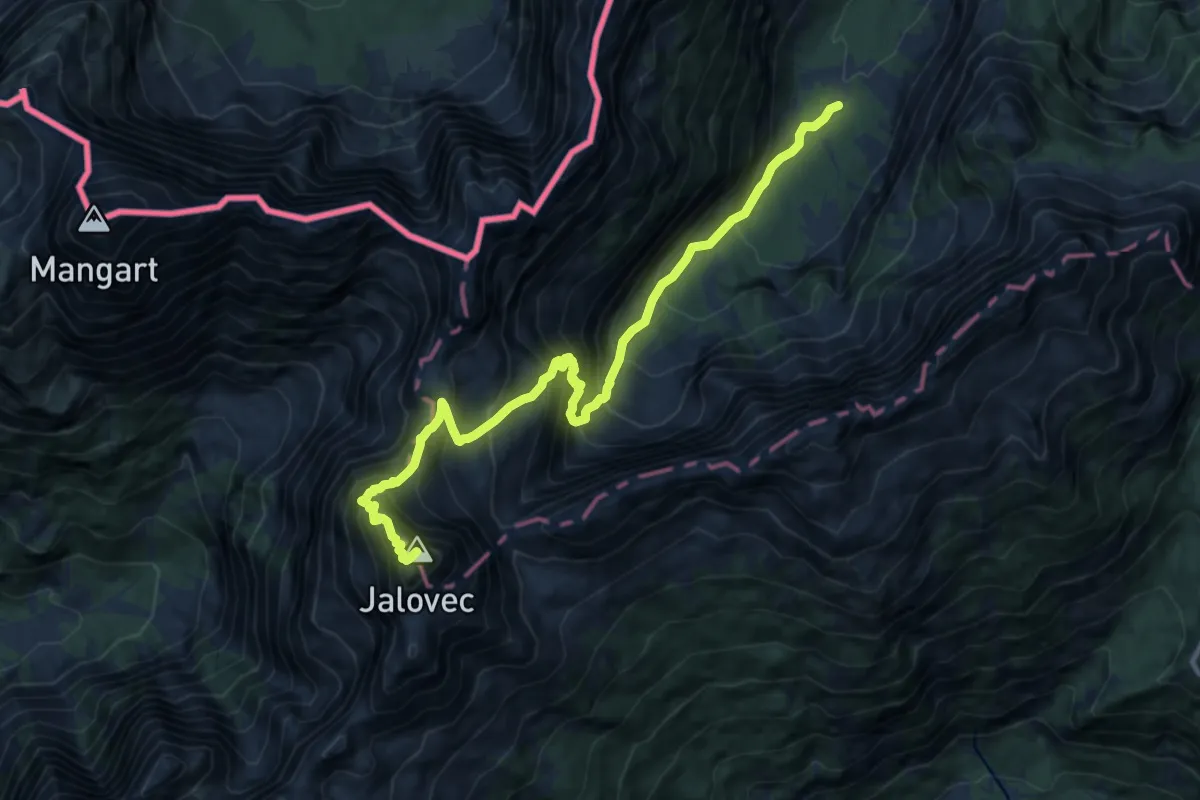
Expert · Summit
Tamar - Kotovo sedlo - Jalovec
11.8 km · ↑ 1659 m · 6 h 23 min · 12 km away
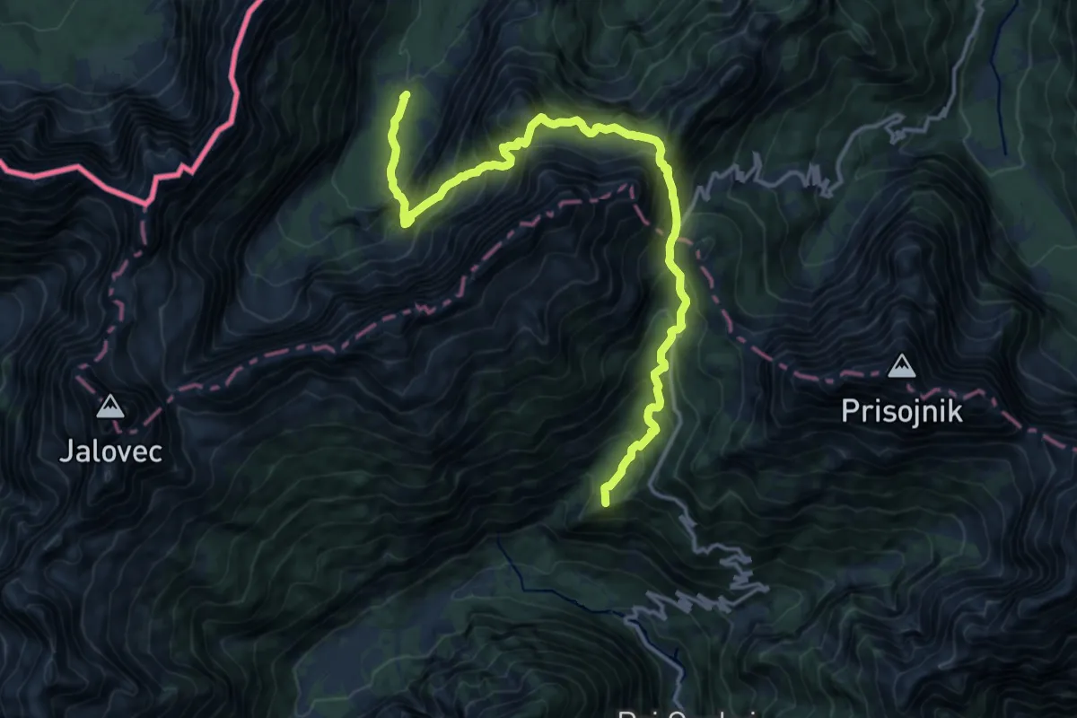
Demanding · Summit
Via Alpina Red R14
16.0 km · ↑ 1659 m · 7 h 22 min · 12 km away
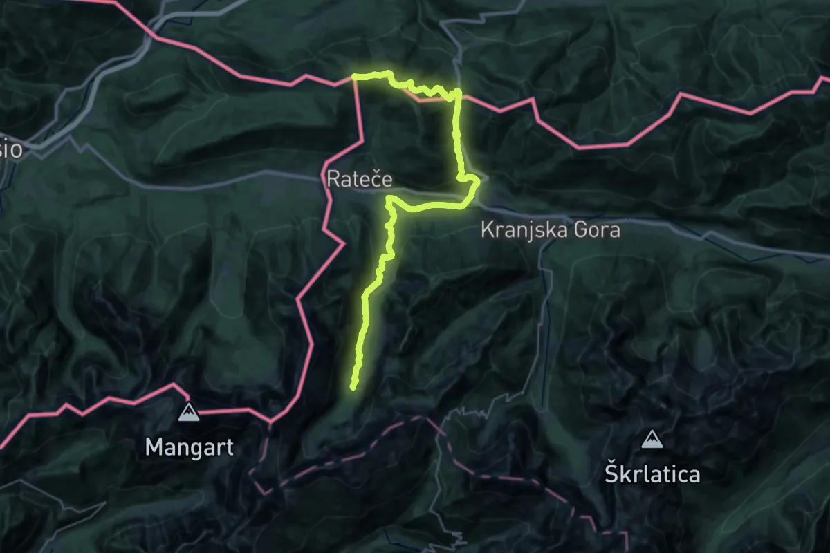
Demanding · Summit
Via Alpina Red R15
32.4 km · ↑ 1168 m · 10 h 10 min · 12 km away
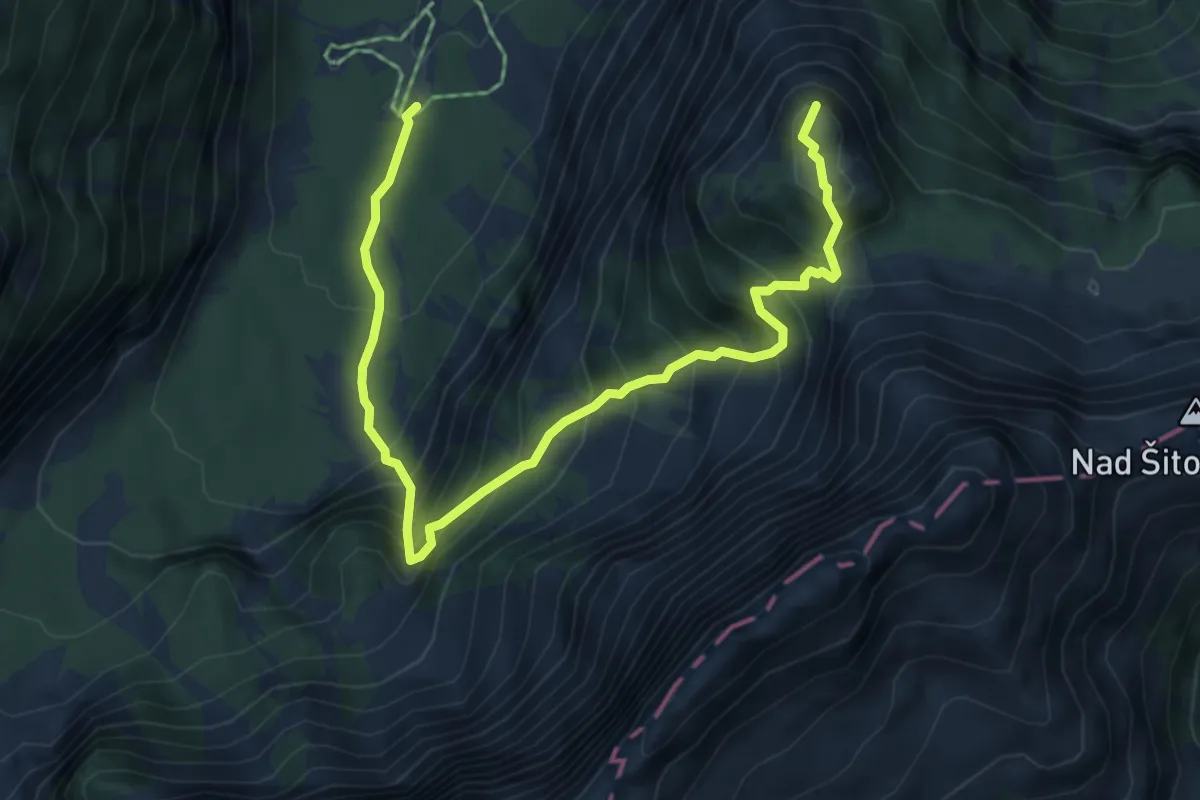
Demanding · Summit
Tamar - Črne vode - Slemenova špica
6.5 km · ↑ 874 m · 3 h 26 min · 12 km away
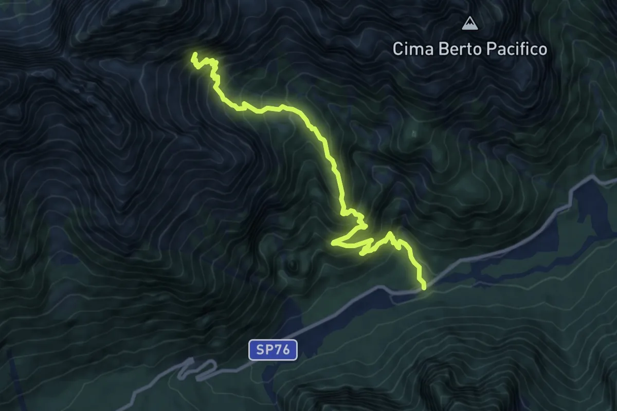
Demanding · Trail
Val Rio del Lago – ruderi Polveriera – Rio Torto (quota 990 m) – Bivio sentiero CAI n. 625 (quota 1800 m)
9.4 km · ↑ 1025 m · 4 h 27 min · 12 km away
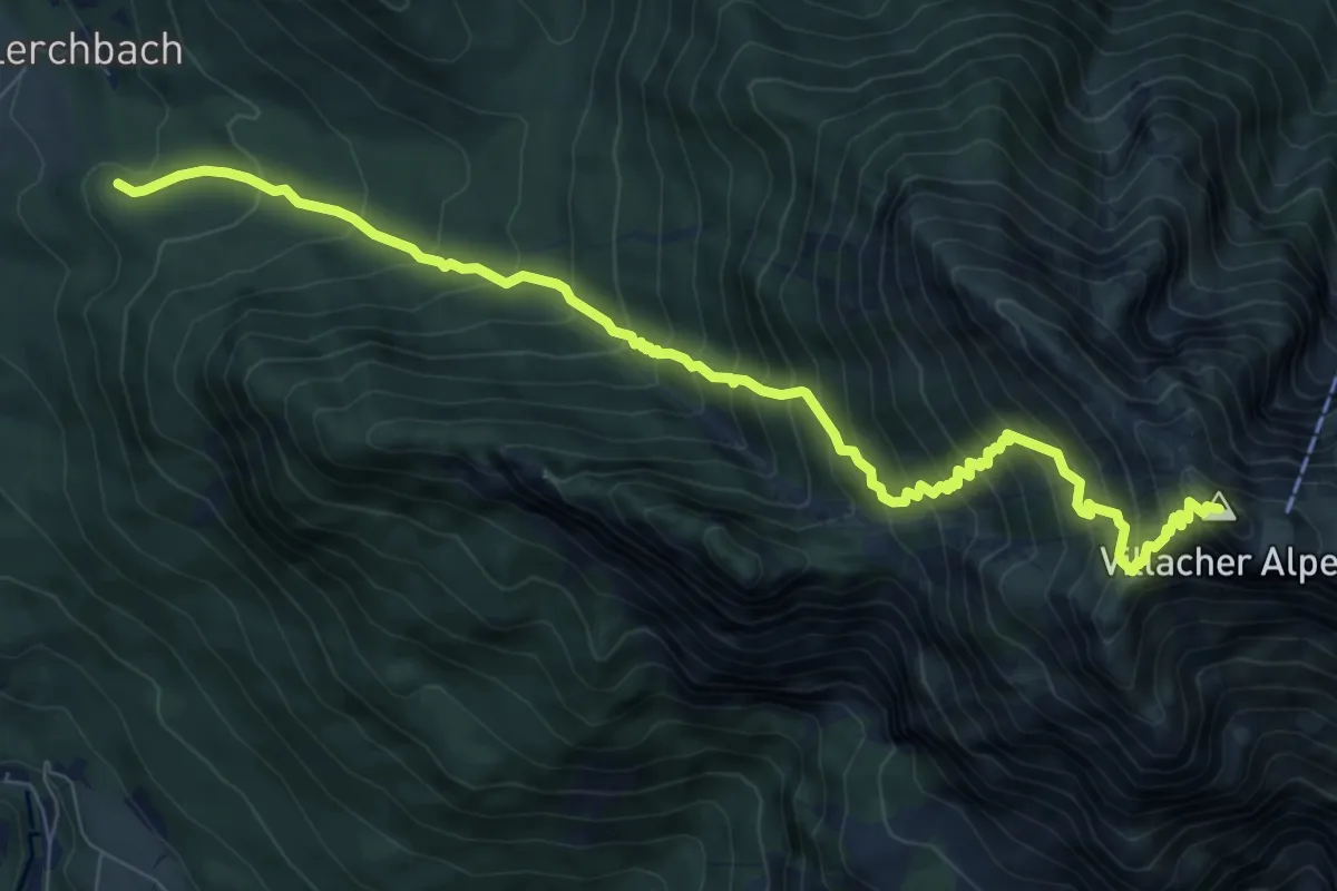
Demanding · Summit
Wanderweg 296
9.5 km · ↑ 1209 m · 4 h 52 min · 12 km away
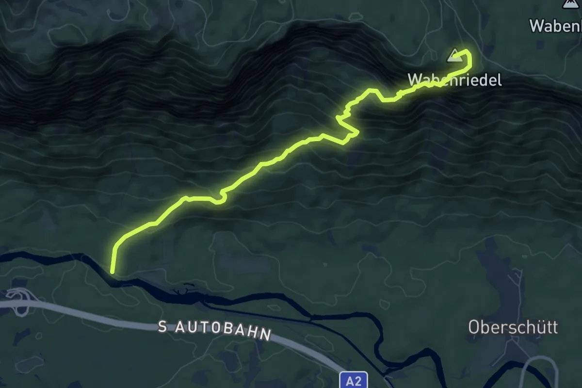
Demanding · Summit
Wanderweg 299
9.7 km · ↑ 924 m · 4 h 17 min · 13 km away
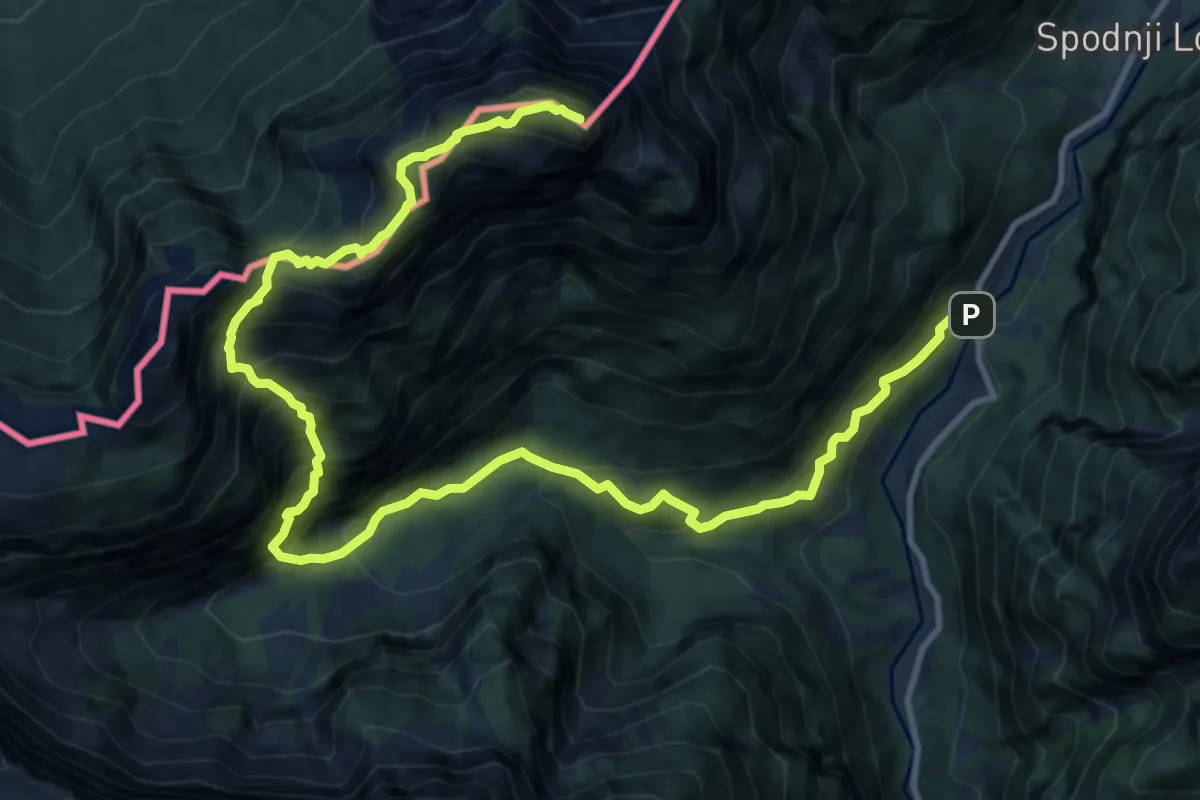
Expert · Summit
Možnica - Jerebica
15.2 km · ↑ 1725 m · 7 h 20 min · 13 km away
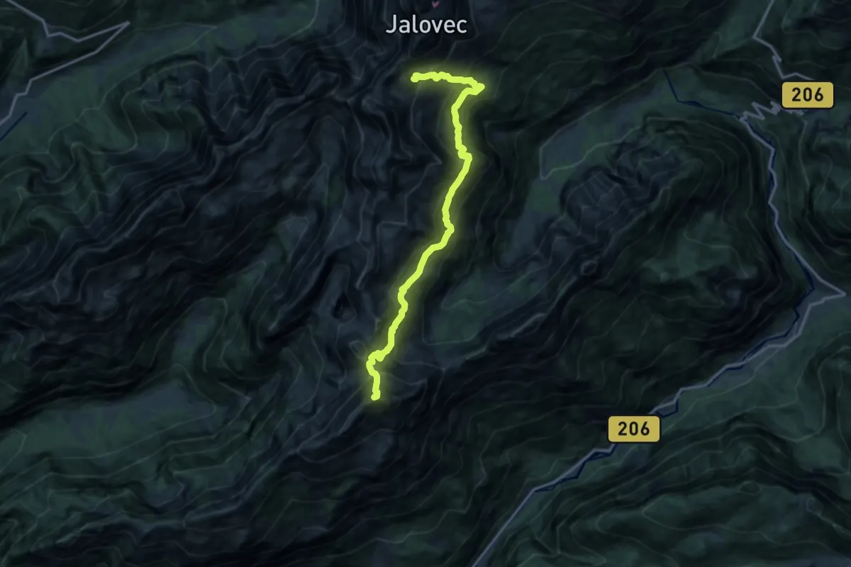
Expert · Summit
Pot prijateljstva
14.1 km · ↑ 1800 m · 7 h 14 min · 13 km away
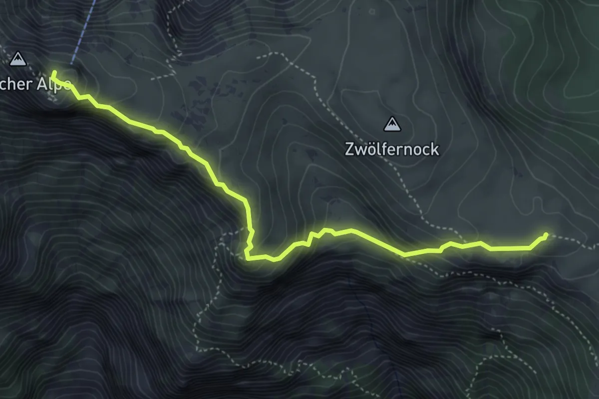
Demanding · Summit
Wanderweg 294
5.0 km · ↑ 433 m · 2 h 7 min · 13 km away
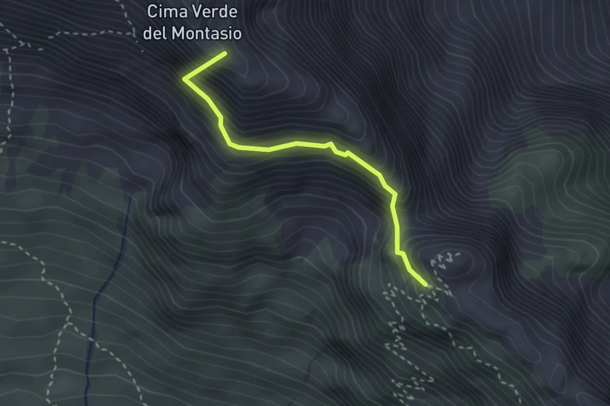
Expert · Summit
Sentiero Leva
2.4 km · ↑ 438 m · 1 h 30 min · 13 km away
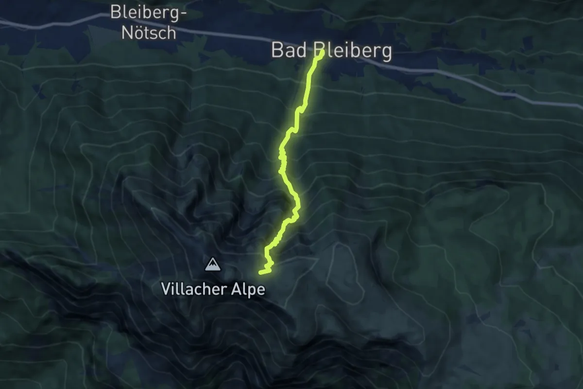
Demanding · Trail
Wanderweg 295
6.7 km · ↑ 1159 m · 4 h 6 min · 13 km away
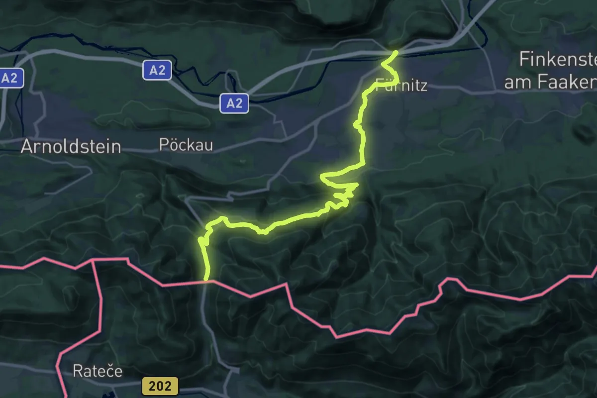
Medium · Trail
Salzsteigweg
13.6 km · ↑ 172 m · 4 h 4 min · 13 km away
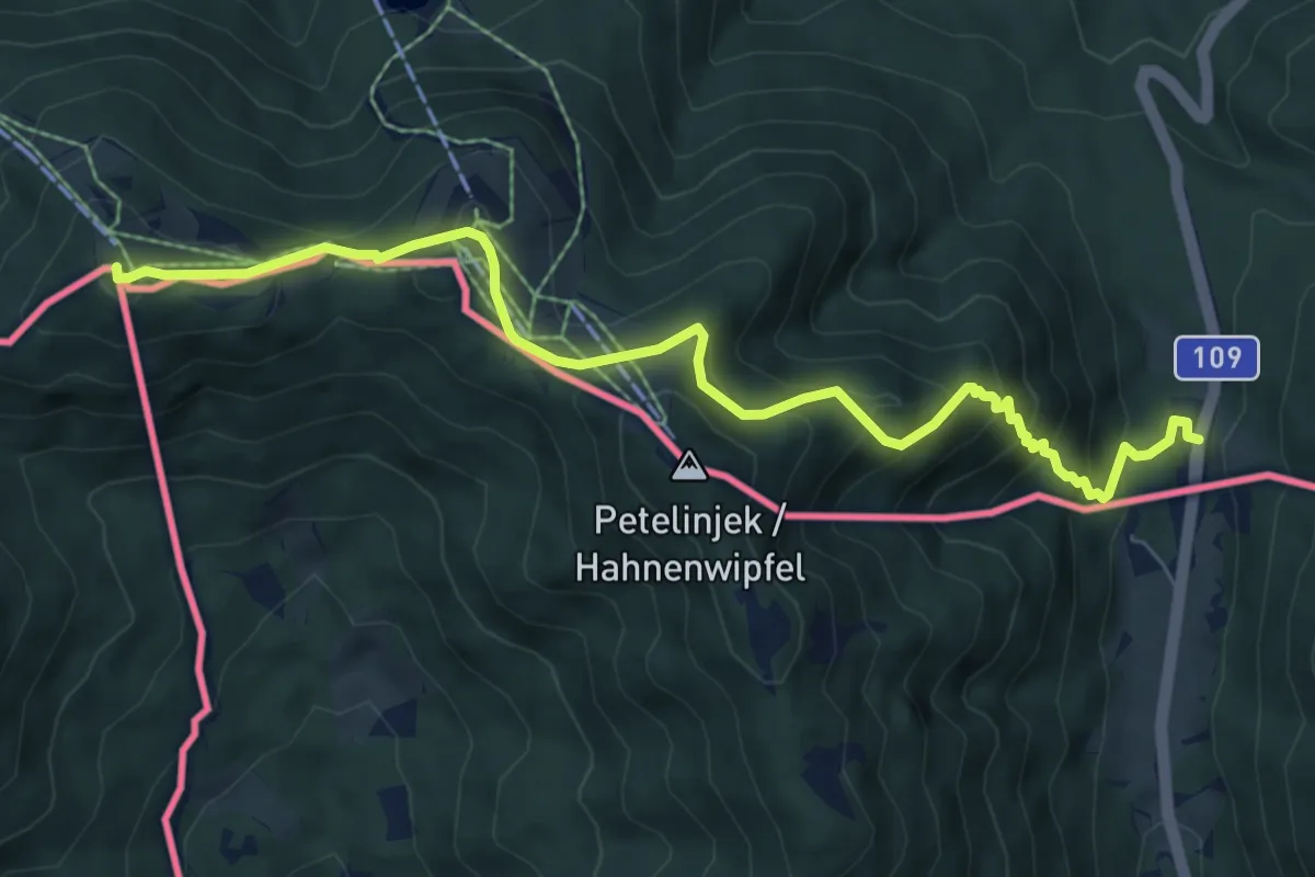
Medium · Summit
Panoramaweg Südalpen 01
7.9 km · ↑ 583 m · 3 h 8 min · 13 km away
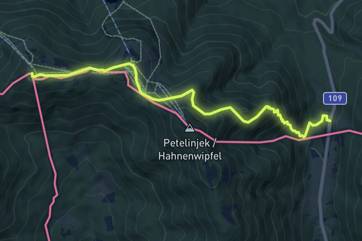
Medium · Summit
Südalpenweg 03 - Etappe 17
7.9 km · ↑ 583 m · 3 h 8 min · 13 km away
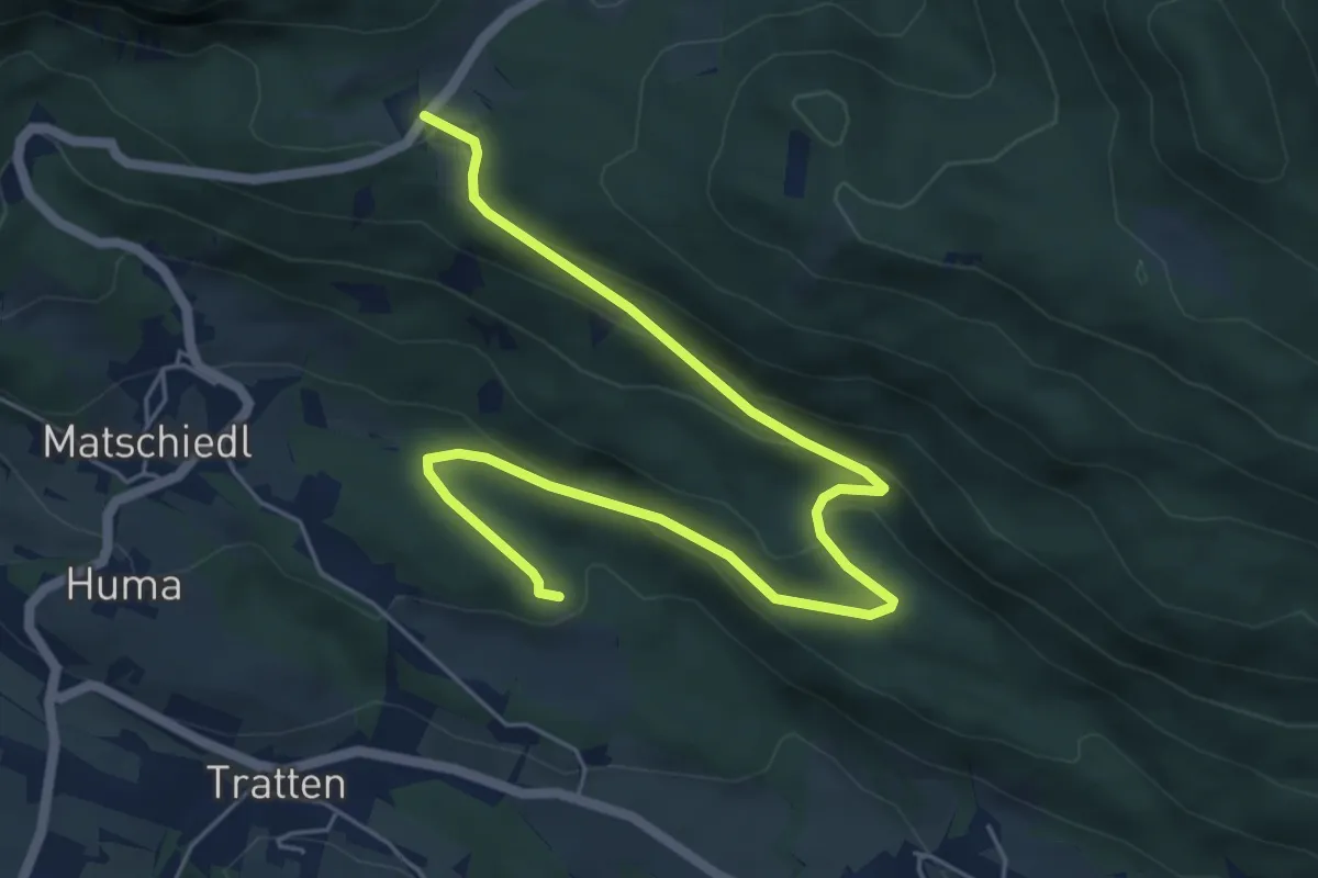
Easy · Trail
Wanderweg Tratten - Windische Hoehe
7.0 km · ↑ 254 m · 2 h 13 min · 13 km away
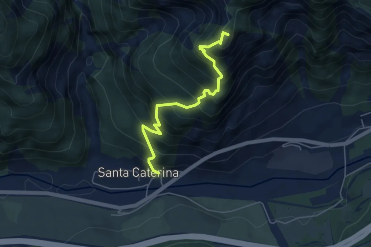
Expert · Summit
Località Cucco di Malborghetto (quota 700 m) – Sella Clinach (quota 1441 m)
4.2 km · ↑ 623 m · 2 h 21 min · 13 km away
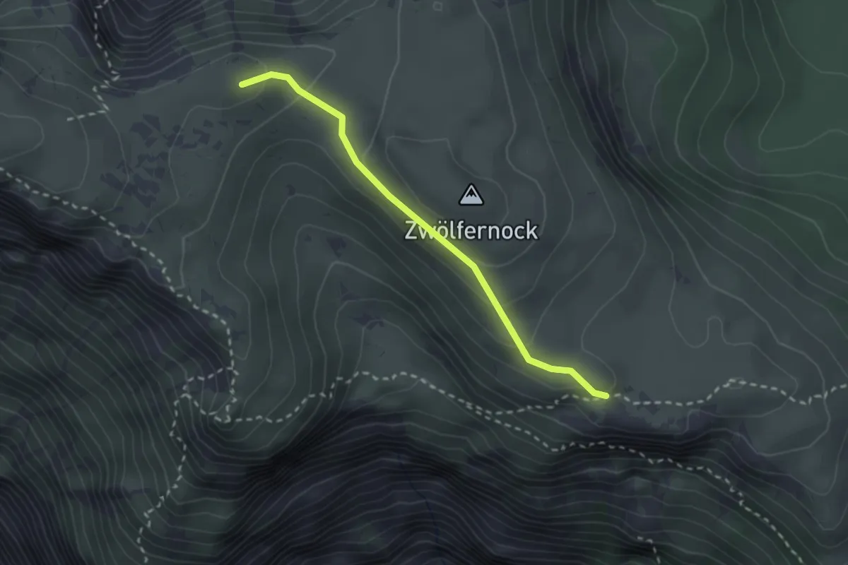
Medium · Trail
201A
2.4 km · ↑ 139 m · 52 min · 13 km away
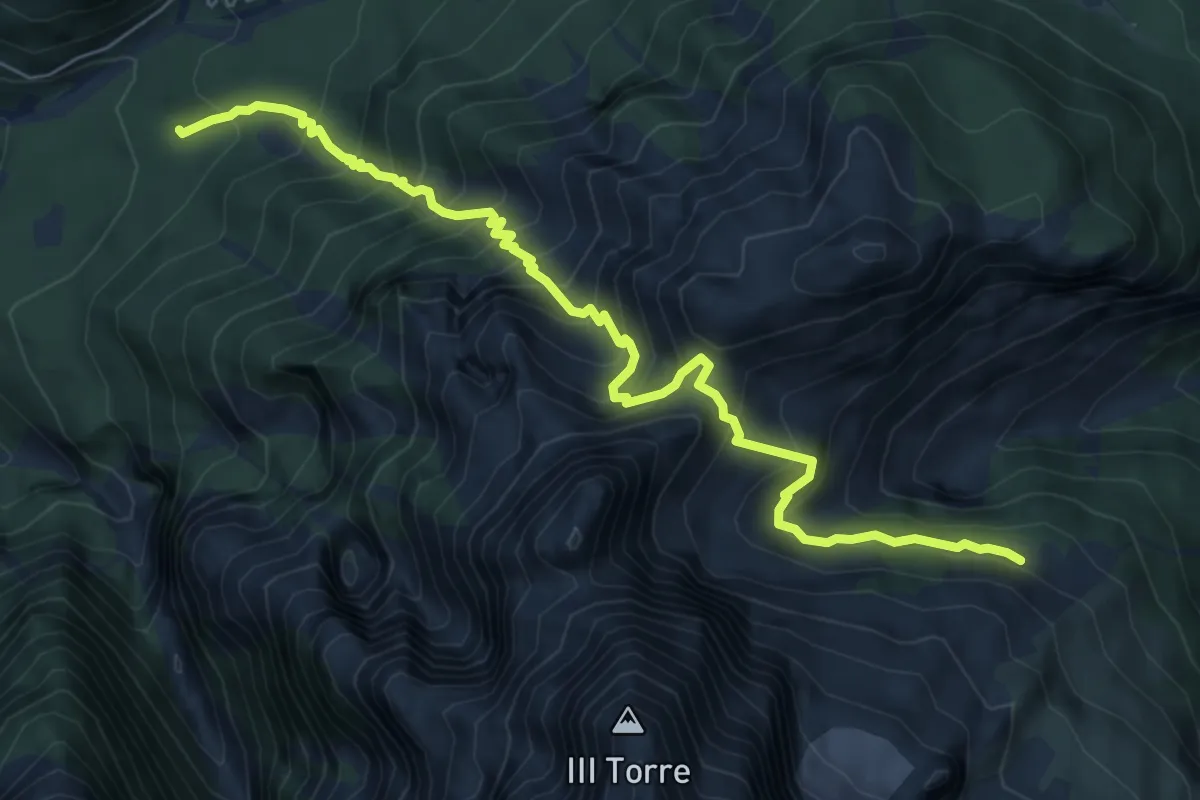
Demanding · Trail
Bivio sentiero n. 611 (quota 1605 m) – Bivio sentiero n. 651 (quota 1100 m)
7.4 km · ↑ 915 m · 3 h 44 min · 14 km away
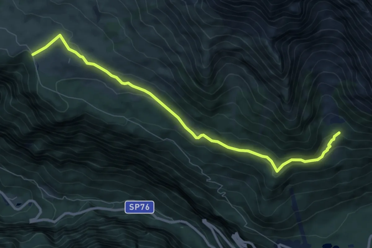
Medium · Trail
Altopiano del Montasio (quota 1502 m) – Bivio sentiero n. 625 (quota 1525 m)
8.4 km · ↑ 245 m · 2 h 30 min · 14 km away
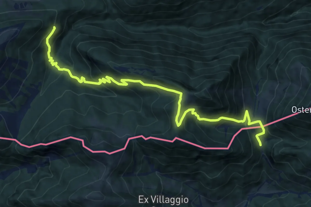
Demanding · Cabin
Egger Alm – Rifugio Nordio
15.5 km · ↑ 1164 m · 6 h 11 min · 14 km away
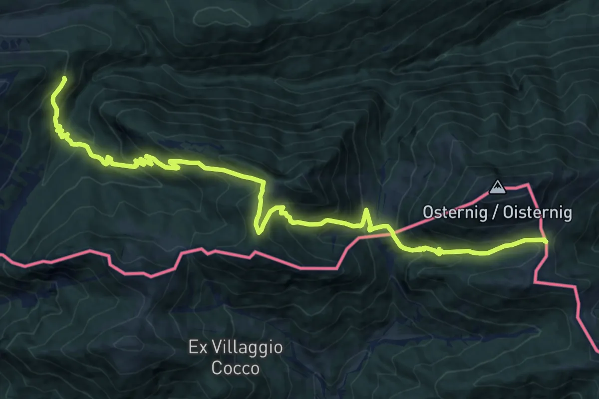
Demanding · Cabin
Via Alpina Red R17
18.9 km · ↑ 1390 m · 7 h 28 min · 14 km away
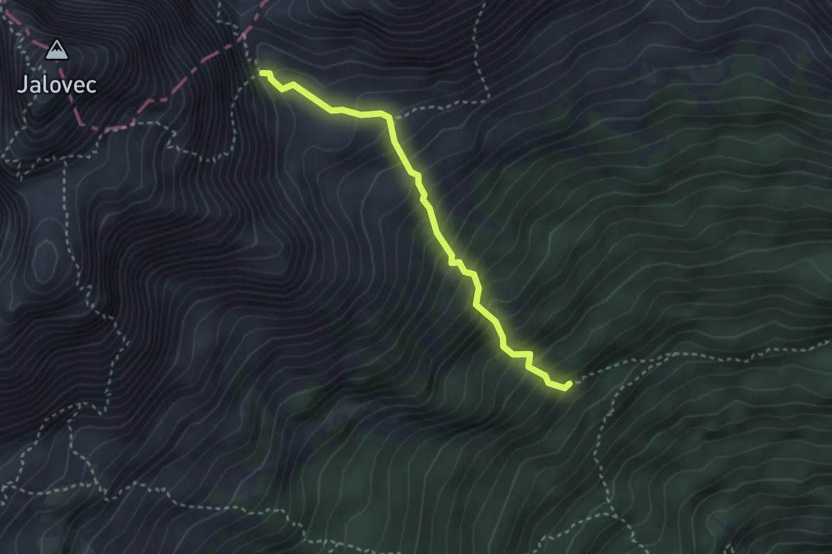
Demanding · Trail
Pot čez Jalovško škrbino
2.9 km · ↑ 526 m · 1 h 49 min · 14 km away