Trails near Tarvisio
167 hikes starting within 15 km, nearest first.
Nearest first, page 4 of 4
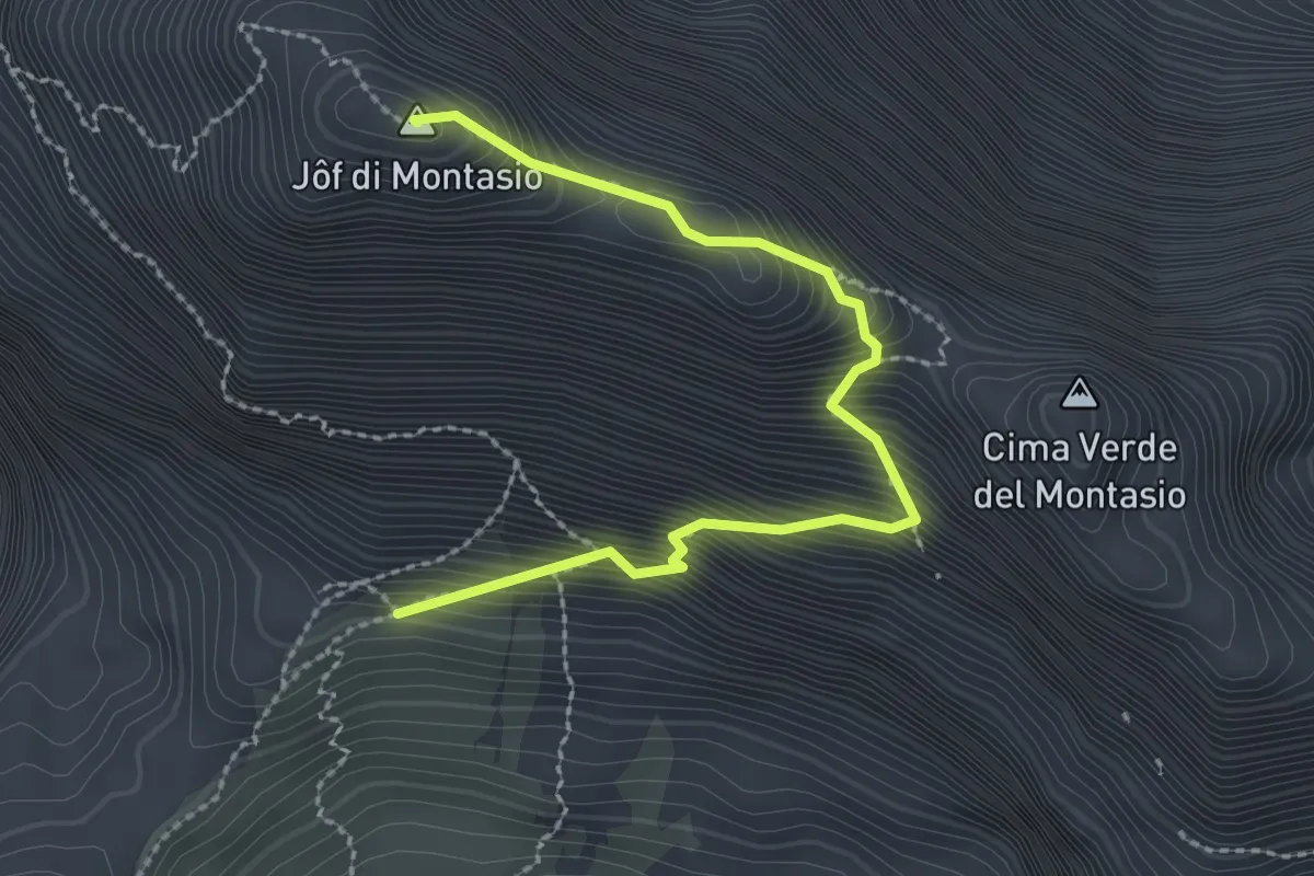
Expert · Summit
Via normale al Montasio
2.7 km · ↑ 470 m · 1 h 40 min · 14 km away
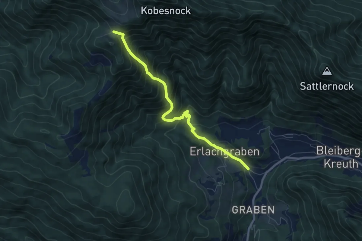
Demanding · Cabin
Wanderweg 298
6.7 km · ↑ 717 m · 3 h 9 min · 14 km away
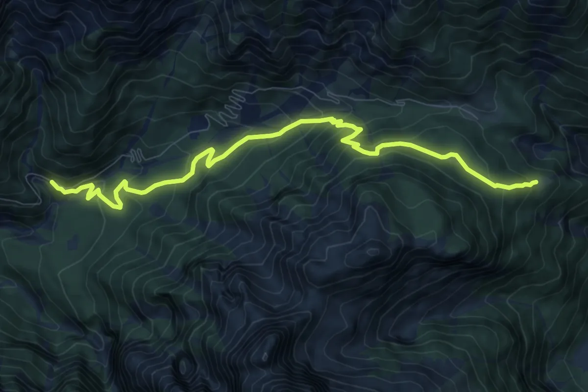
Medium · Cabin
Strada Val Dogna – Cappella Zacchi (quota 1005 m) – Rifugio Grego (quota 1389 m)
10.2 km · ↑ 698 m · 3 h 56 min · 14 km away
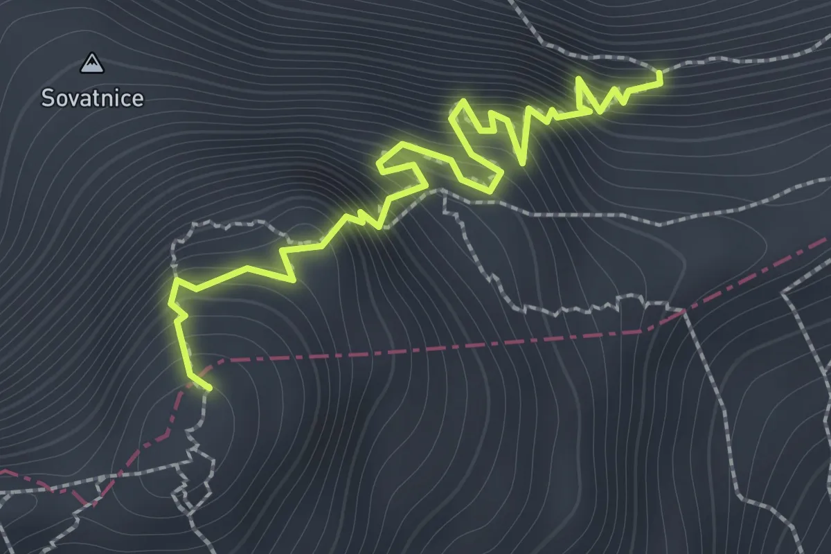
Expert · Summit
Hanzova pot
1.9 km · ↑ 389 m · 1 h 17 min · 14 km away
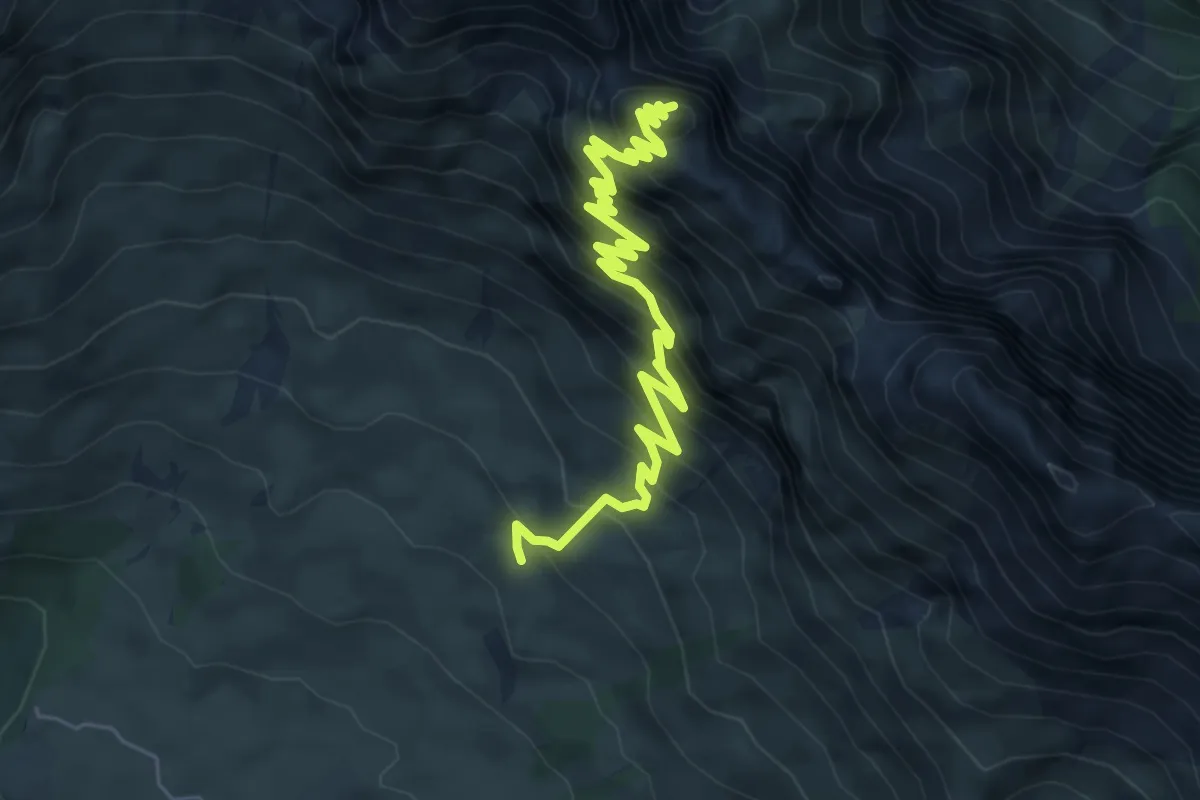
Demanding · Summit
Rifugio Di Brazzà bivio sentiero CAI n. 663 (quota 1660 m) – Cima di Terrarossa (quota 2420 m)
7.0 km · ↑ 842 m · 3 h 29 min · 14 km away
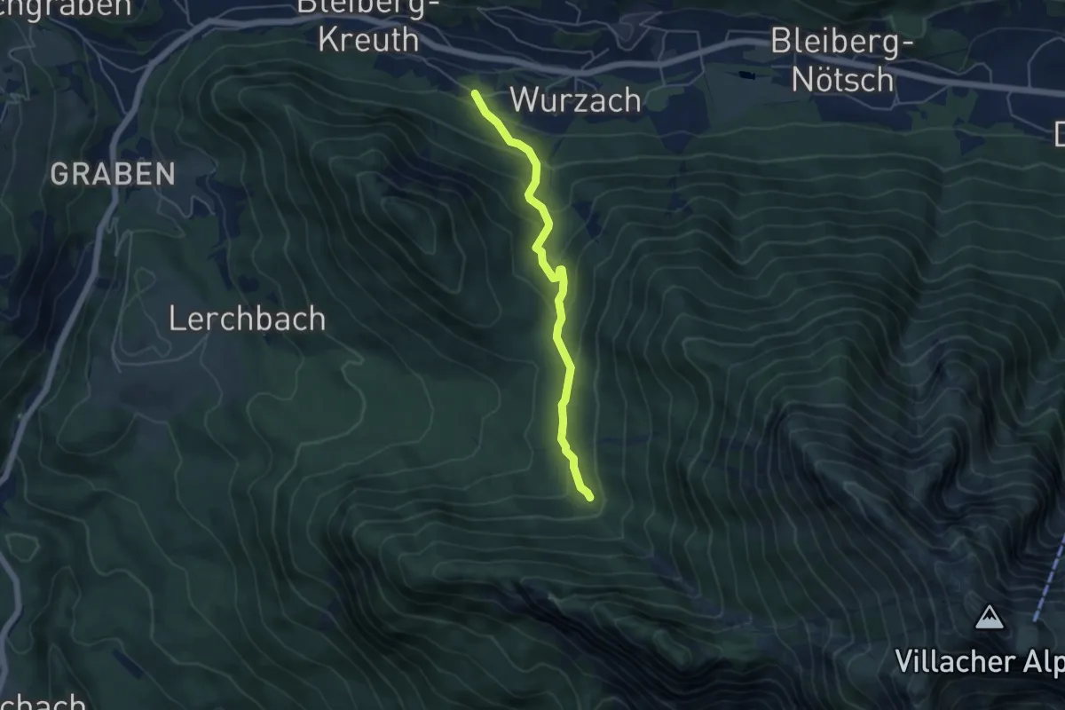
Medium · Trail
Wanderweg 297
4.6 km · ↑ 297 m · 1 h 44 min · 14 km away
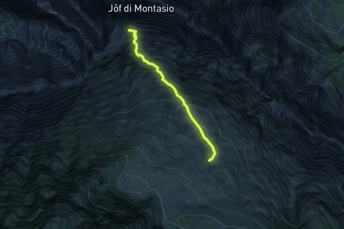
Medium · Summit
Rifugio Di Brazzà (quota 1660 m) – Forca Disteis (quota 2201 m)
5.1 km · ↑ 571 m · 2 h 27 min · 14 km away
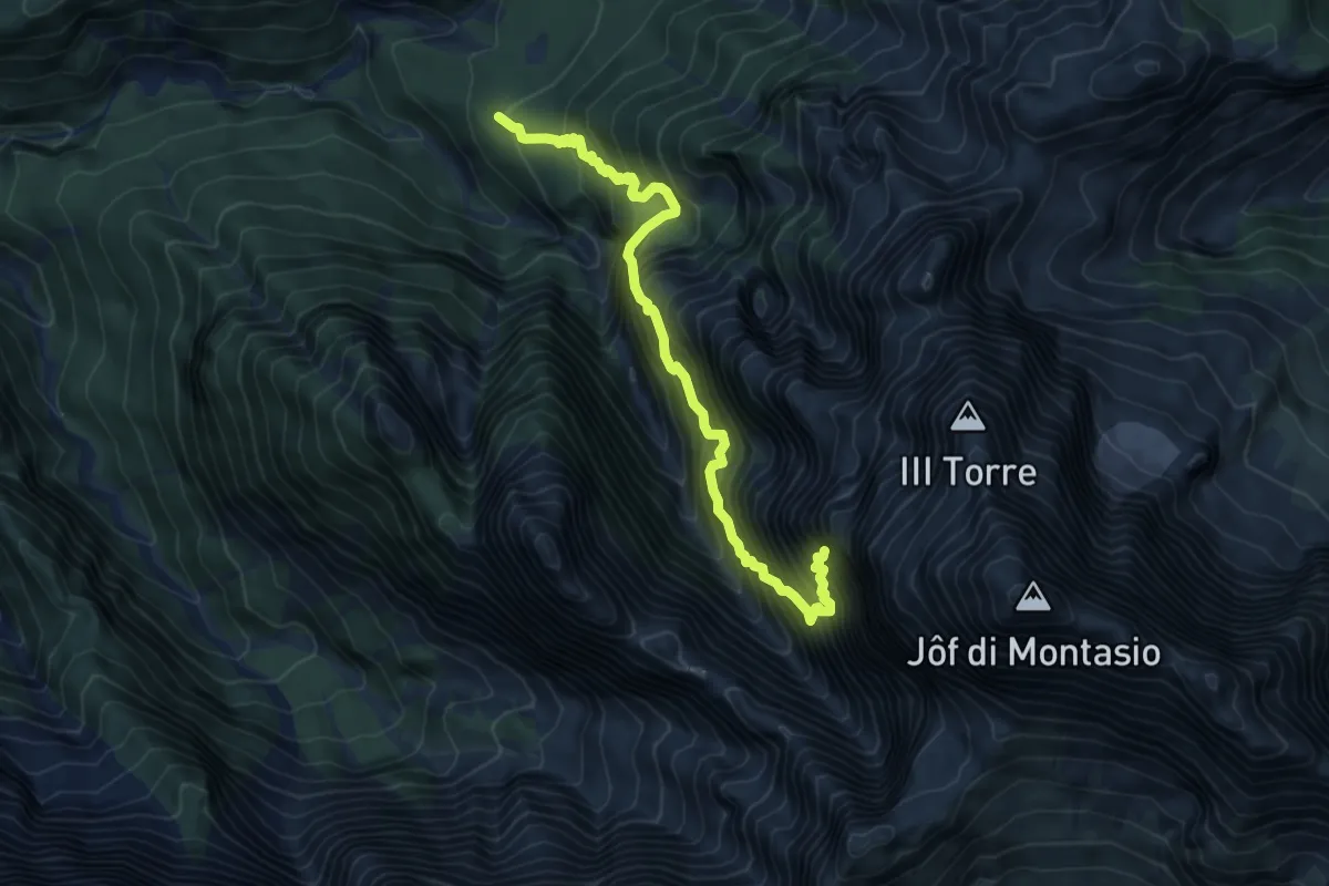
Expert · Trail
Via di Dogna
6.7 km · ↑ 1477 m · 4 h 47 min · 14 km away
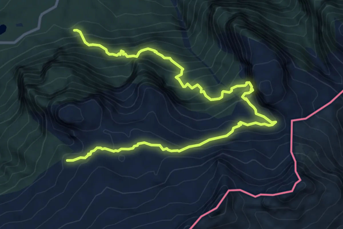
Demanding · Trail
Sella Nevea (quota 1162 m) – Bivio sentiero n. 636 (quota 1866 m)
11.0 km · ↑ 1171 m · 5 h 8 min · 14 km away
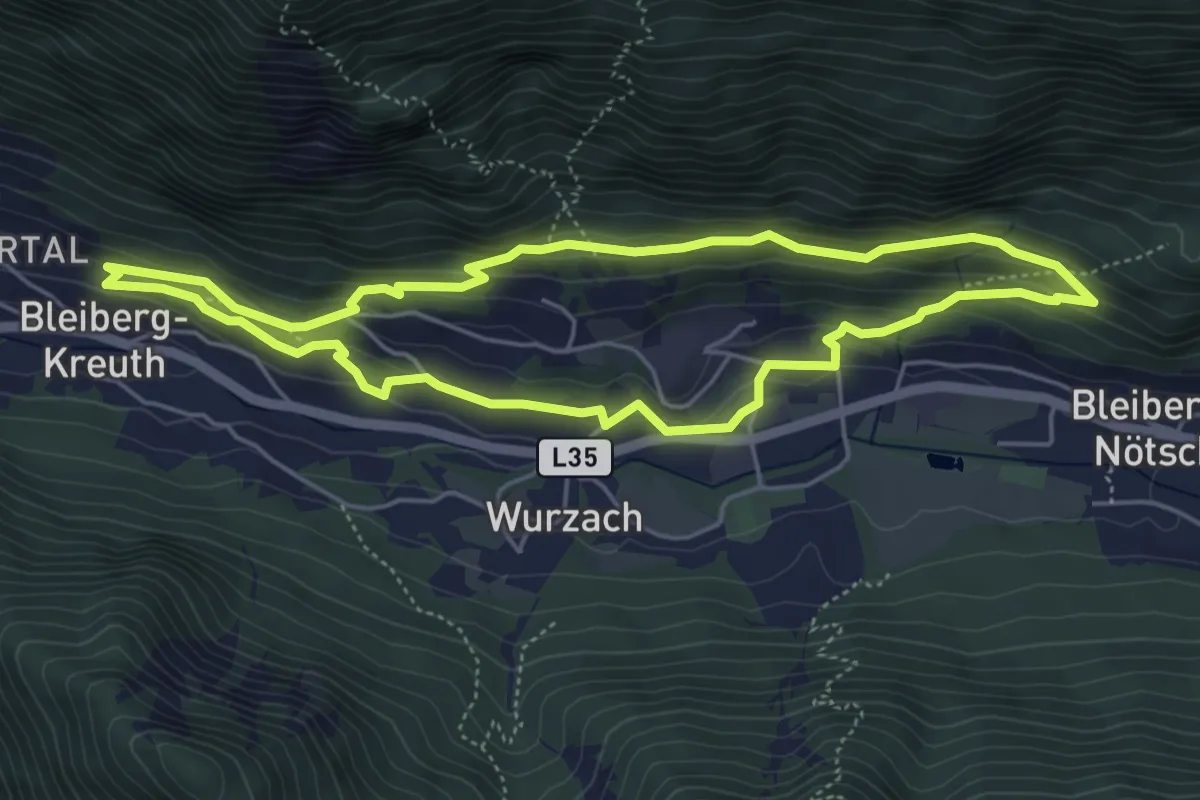
Medium · Trail
Stollenwanderweg
4.9 km · ↑ 171 m · 1 h 36 min · 14 km away
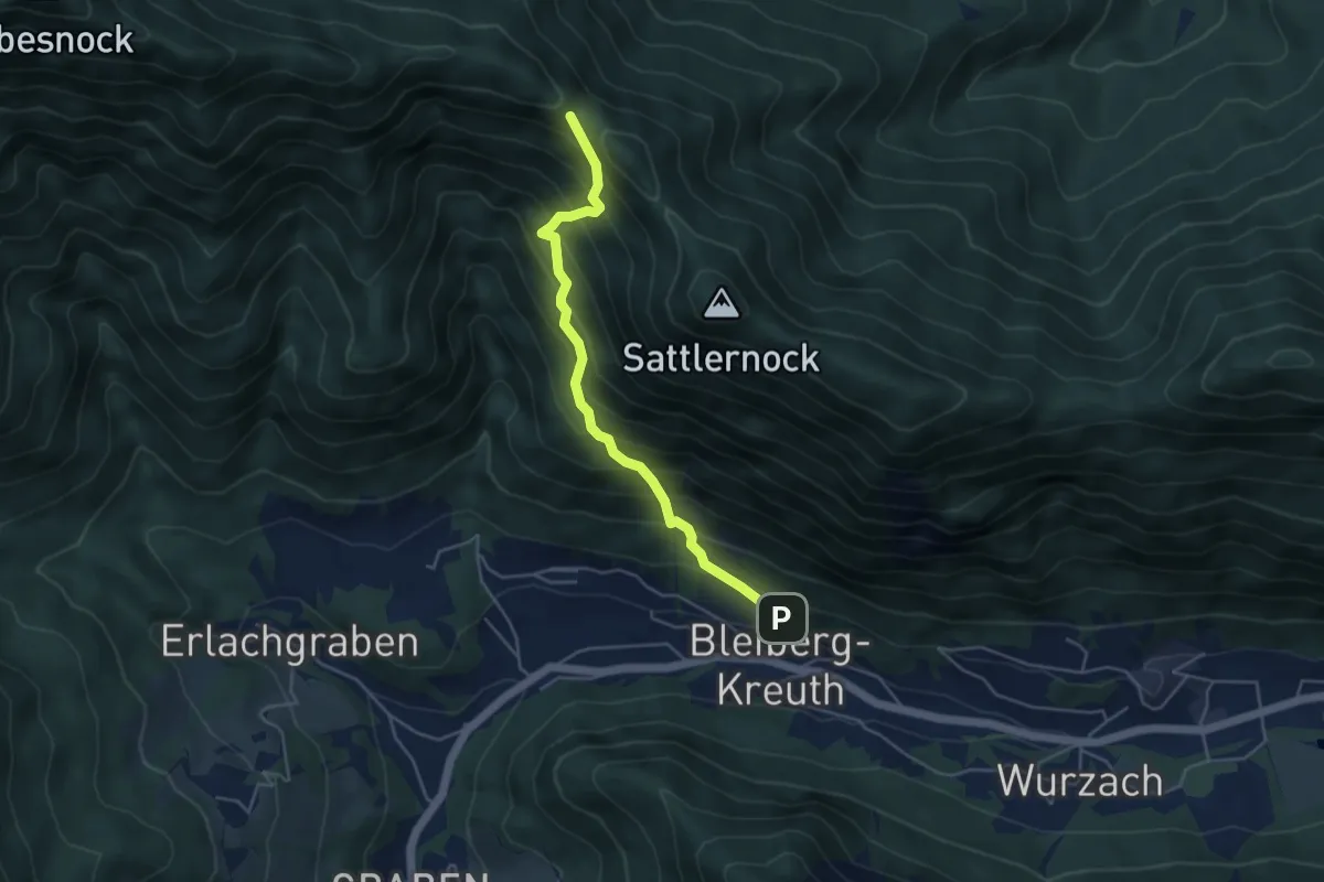
Demanding · Trail
12 Bleiberg Kreuth - Kobesnock
4.4 km · ↑ 583 m · 2 h 18 min · 15 km away
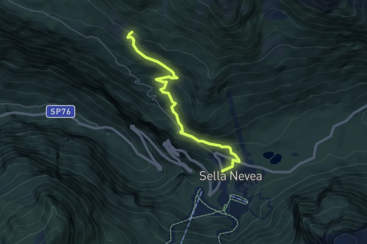
Medium · Cabin
Rifugio Divisione Julia (quota 1162 m) – Casera Larice (quota 1479 m)
5.3 km · ↑ 393 m · 2 h 6 min · 15 km away
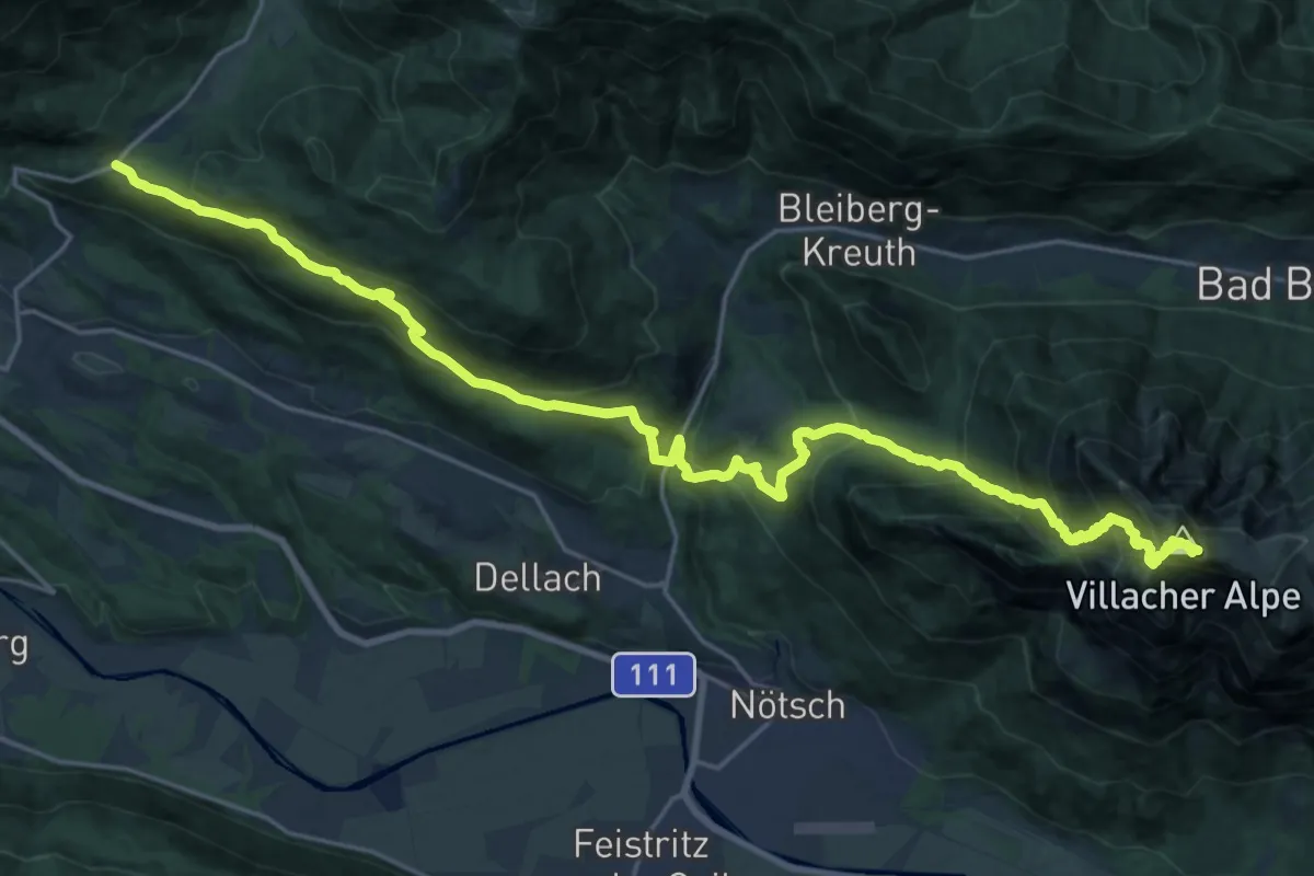
Demanding · Summit
JK29
14.0 km · ↑ 1535 m · 6 h 18 min · 15 km away
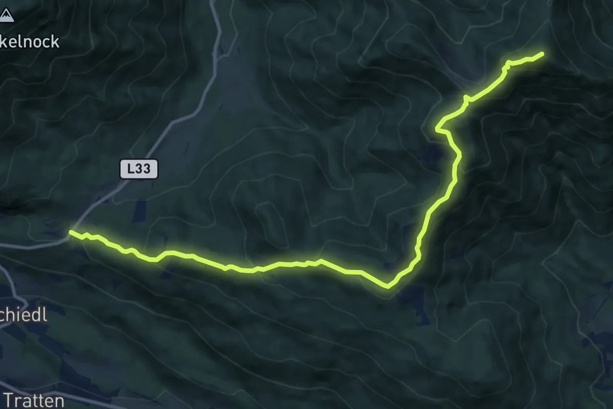
Expert · Summit
Wanderweg 288
12.5 km · ↑ 756 m · 4 h 36 min · 15 km away
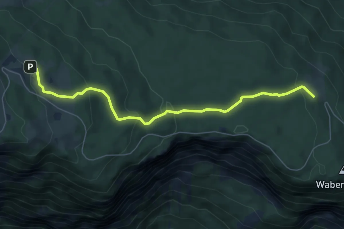
Easy · Trail
Wanderweg 292
5.8 km · ↑ 257 m · 1 h 55 min · 15 km away
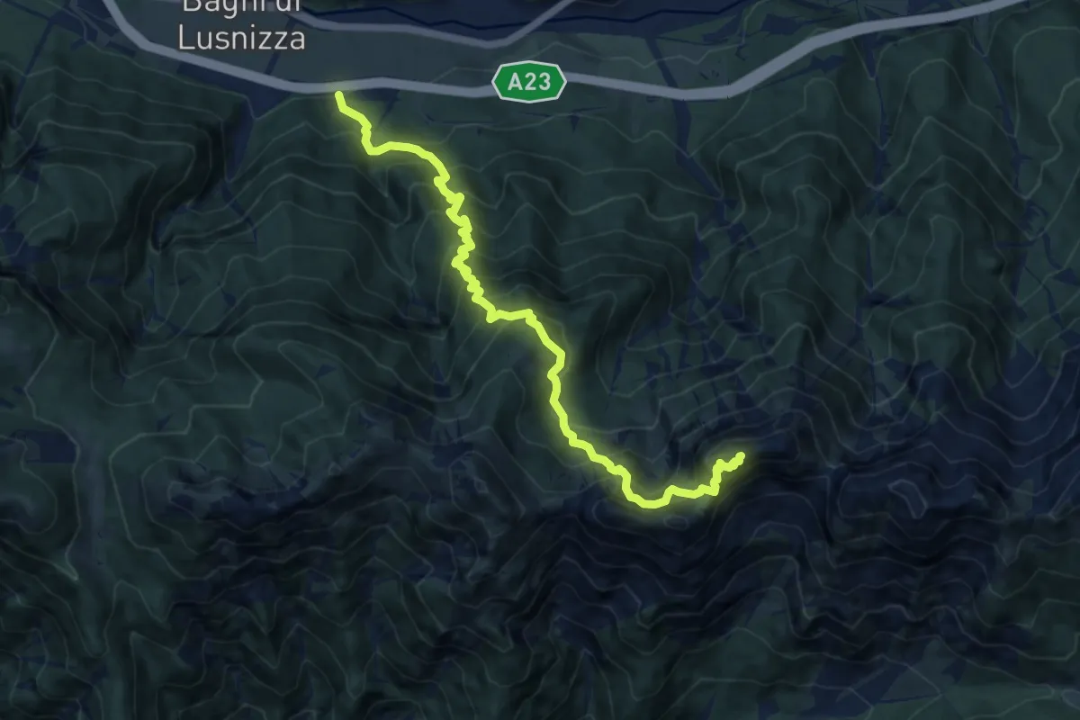
Demanding · Summit
Bagni di Lusnizza (quota 635 m) – Cima Alta Due Pizzi (quota 2046 m)
11.4 km · ↑ 1542 m · 6 h 1 min · 15 km away
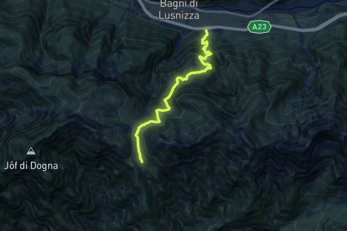
Demanding · Trail
Bagni di Lusnizza (quota 635 m) – Bivio sentiero n. 601 (quota 1351 m)
11.2 km · ↑ 1145 m · 5 h 8 min · 15 km away
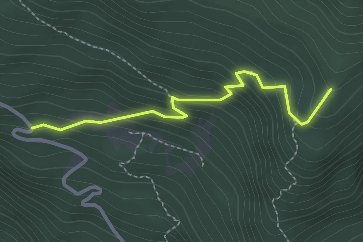
Easy · Trail
Fonte Barboz (quota 1350 m) – Bivio sentiero n. 624 (quota 1488 m)
2.1 km · ↑ 178 m · 52 min · 15 km away
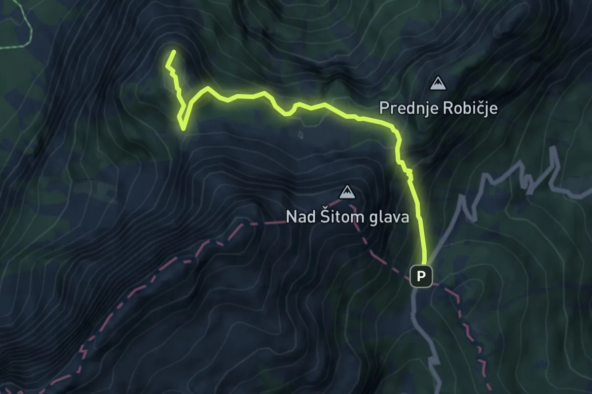
Medium · Summit
Vršič - Slemenova špica
5.5 km · ↑ 514 m · 2 h 25 min · 15 km away
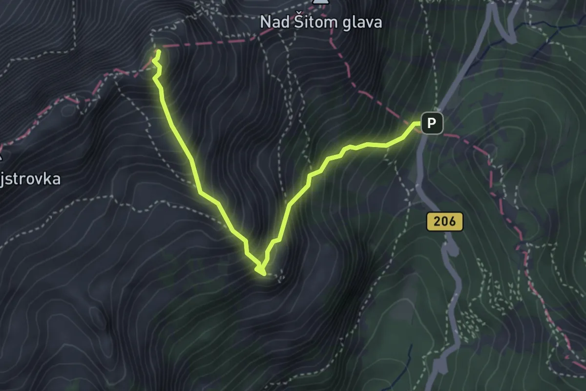
Demanding · Summit
Vršič - Mala Mojstrovka
3.8 km · ↑ 707 m · 2 h 26 min · 15 km away
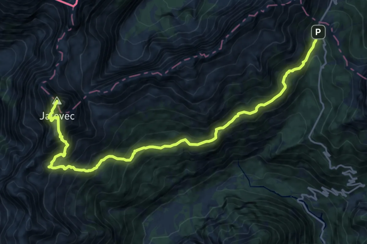
Expert · Summit
Vršič - Zav. pod Špičkom - Jalovec
17.3 km · ↑ 1849 m · 8 h 6 min · 15 km away
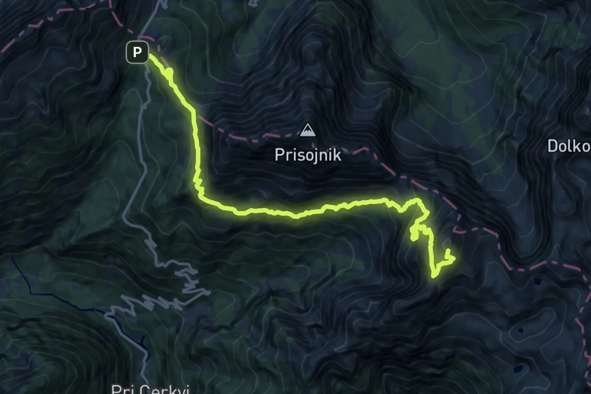
Expert · Summit
Vršič - Razor
15.1 km · ↑ 1914 m · 7 h 43 min · 15 km away
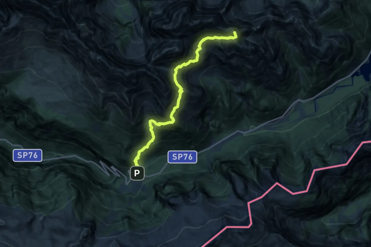
Expert · Summit
Sella Nevea (quota 1162 m) – Val Rio del Lago (quota 980 m)
14.7 km · ↑ 1718 m · 7 h 12 min · 15 km away