Trails near Hermagor
119 hikes starting within 15 km, nearest first.
Nearest first, page 2 of 3
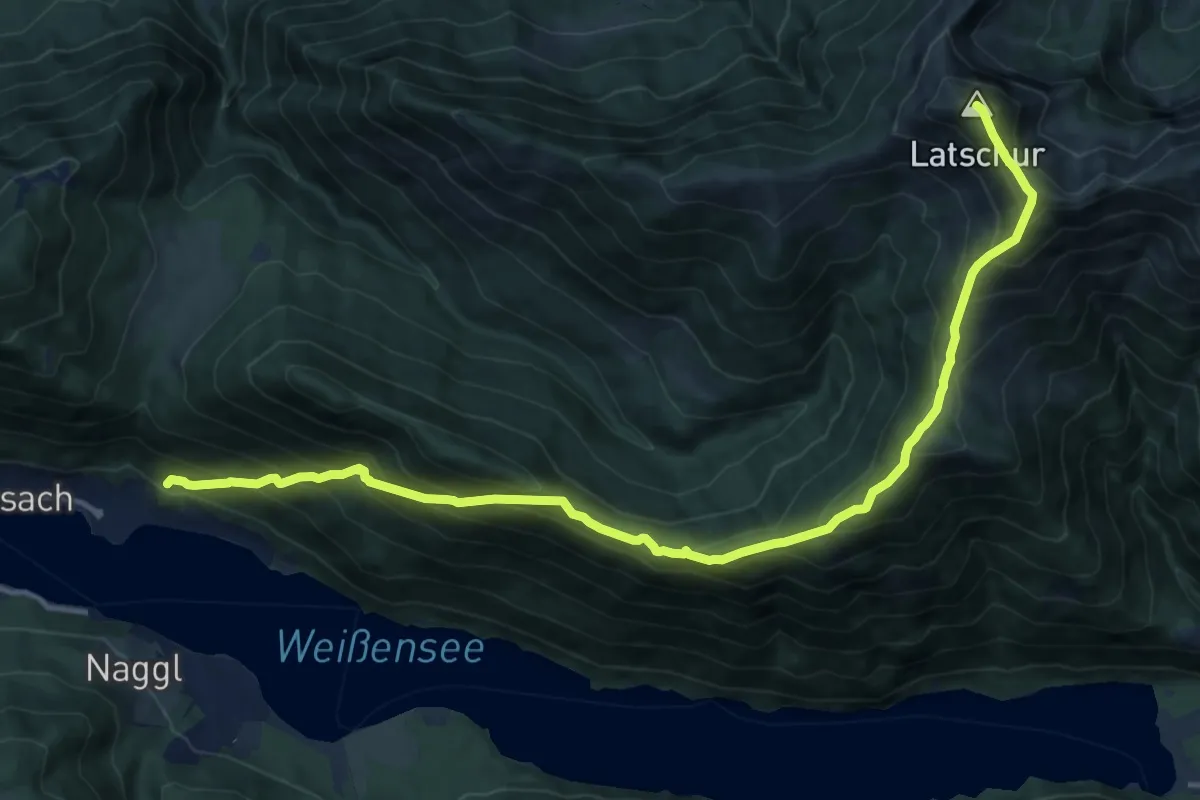
Demanding · Summit
Neusach – Latschur
15.8 km · ↑ 1394 m · 6 h 46 min · 11 km away
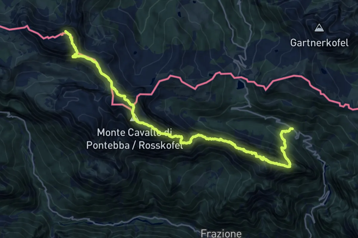
Expert · Summit
Alta Via C.A.I. Pontebba
21.0 km · ↑ 2272 m · 9 h 53 min · 11 km away
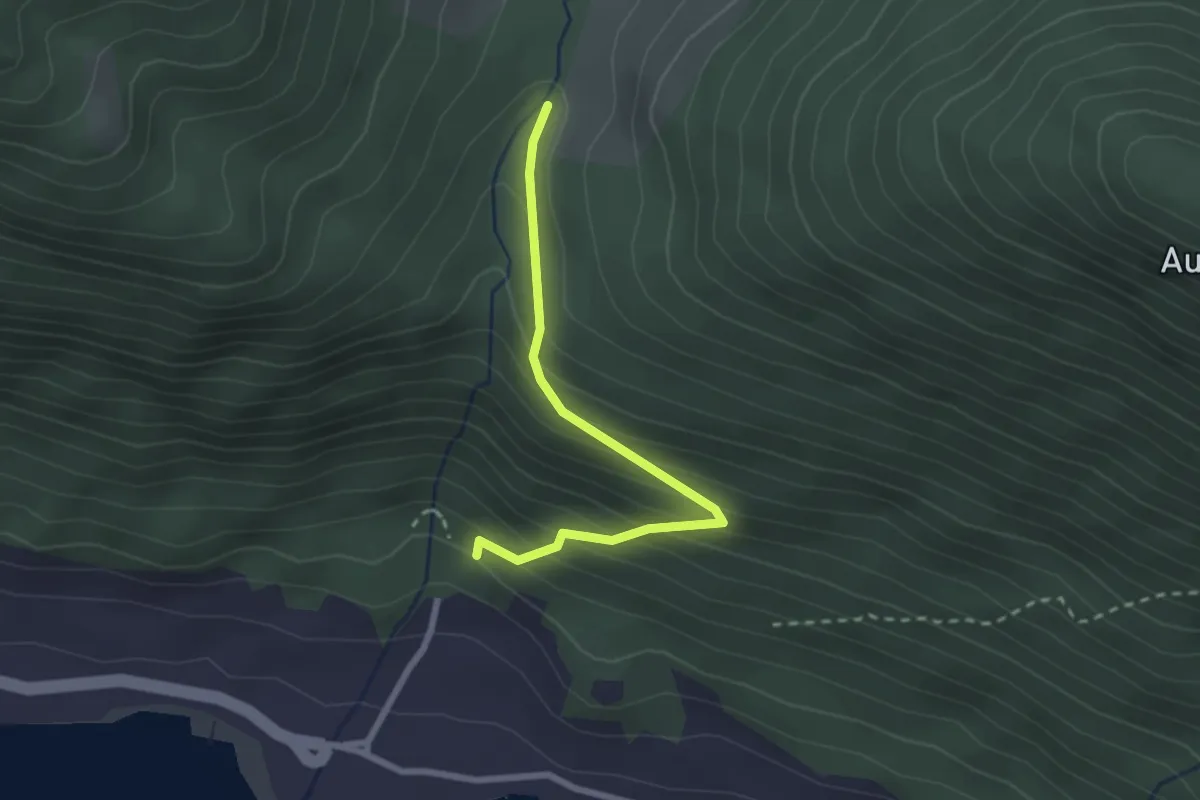
Easy · Trail
Wanderweg 2d
2.4 km · ↑ 230 m · 1 h 4 min · 11 km away
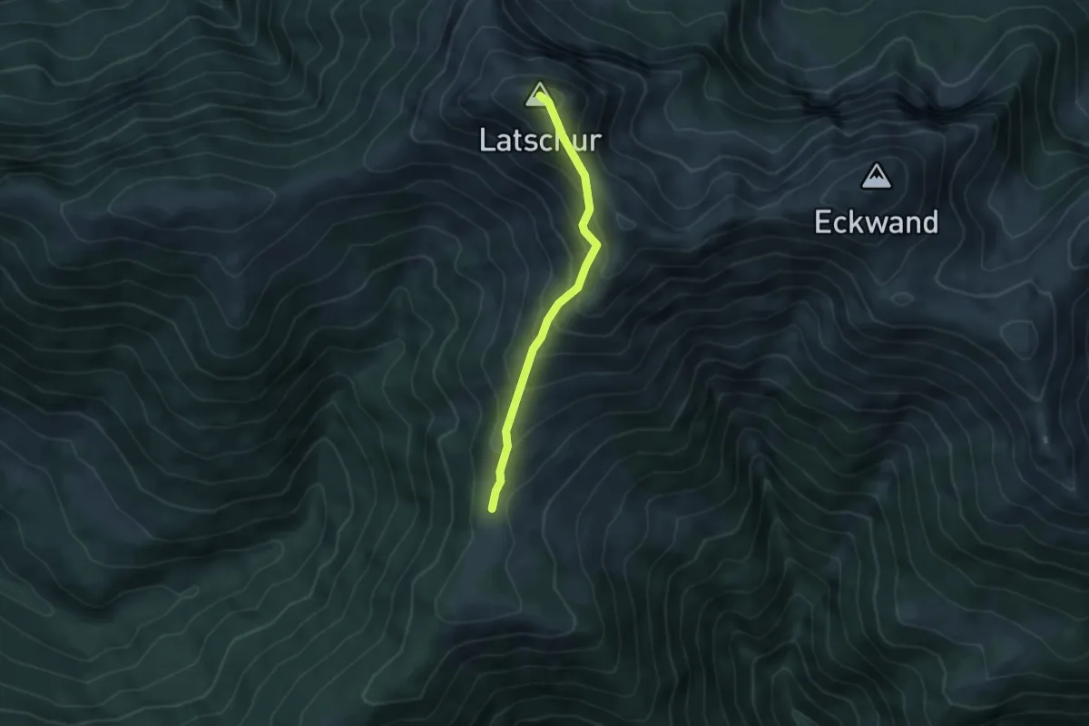
Medium · Summit
Latschur 264
3.9 km · ↑ 420 m · 1 h 50 min · 11 km away
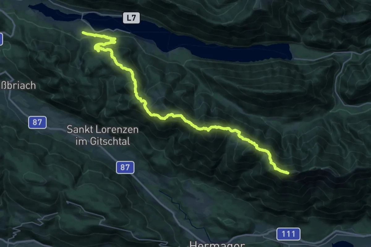
Demanding · Summit
Wanderweg 25
31.2 km · ↑ 2401 m · 12 h 34 min · 11 km away
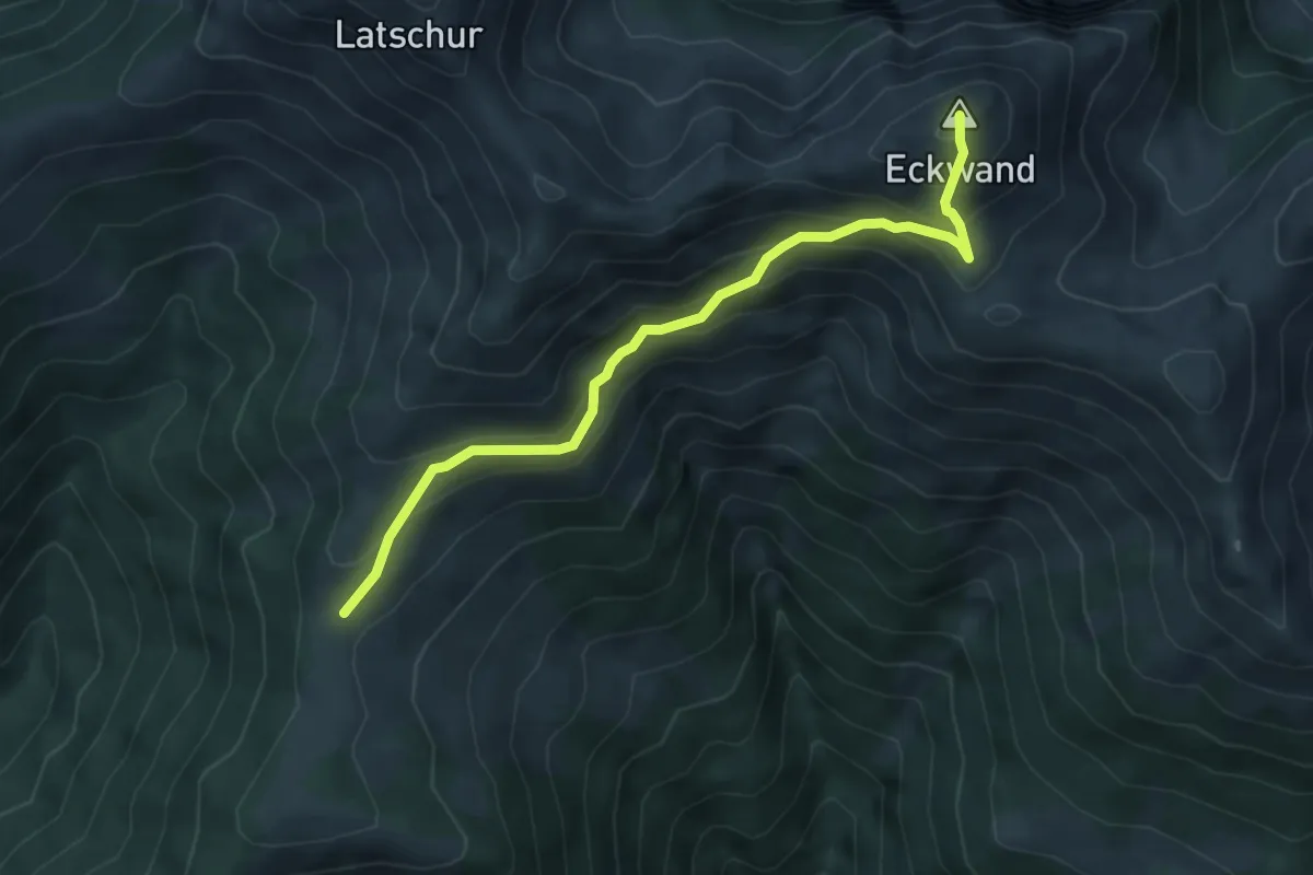
Medium · Summit
Stosia – Latschur
5.1 km · ↑ 451 m · 2 h 11 min · 11 km away
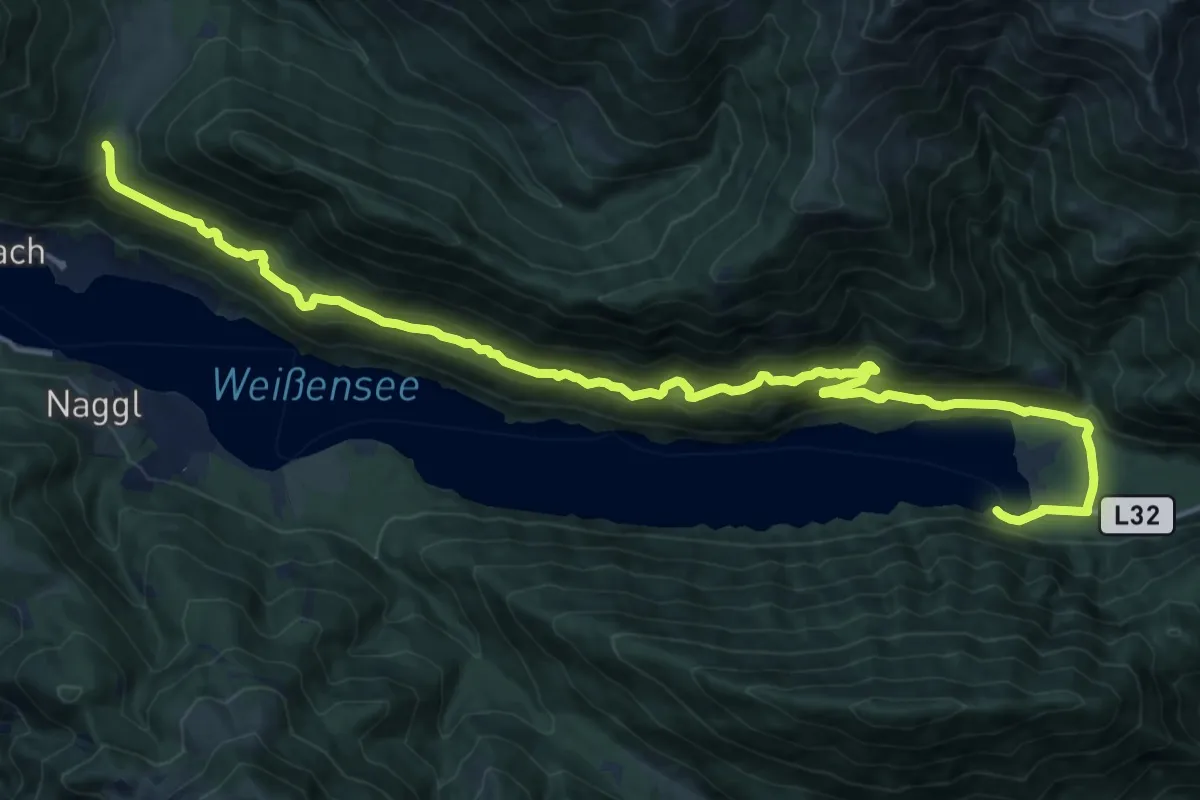
Demanding · Trail
Wanderweg 10
20.6 km · ↑ 667 m · 6 h 19 min · 11 km away
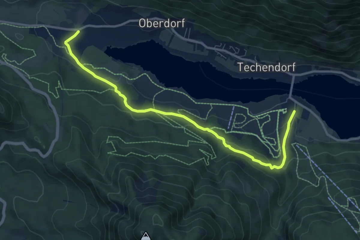
Medium · Trail
Praditz – Weissensee Bergbahn Talstation
8.6 km · ↑ 171 m · 2 h 24 min · 11 km away
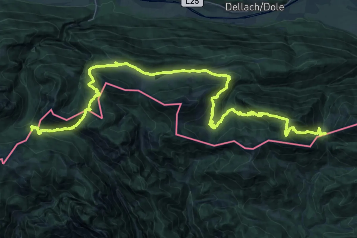
Demanding · Summit
Südalpenweg 03 - Etappe 19
43.3 km · ↑ 1899 m · 14 h 20 min · 11 km away
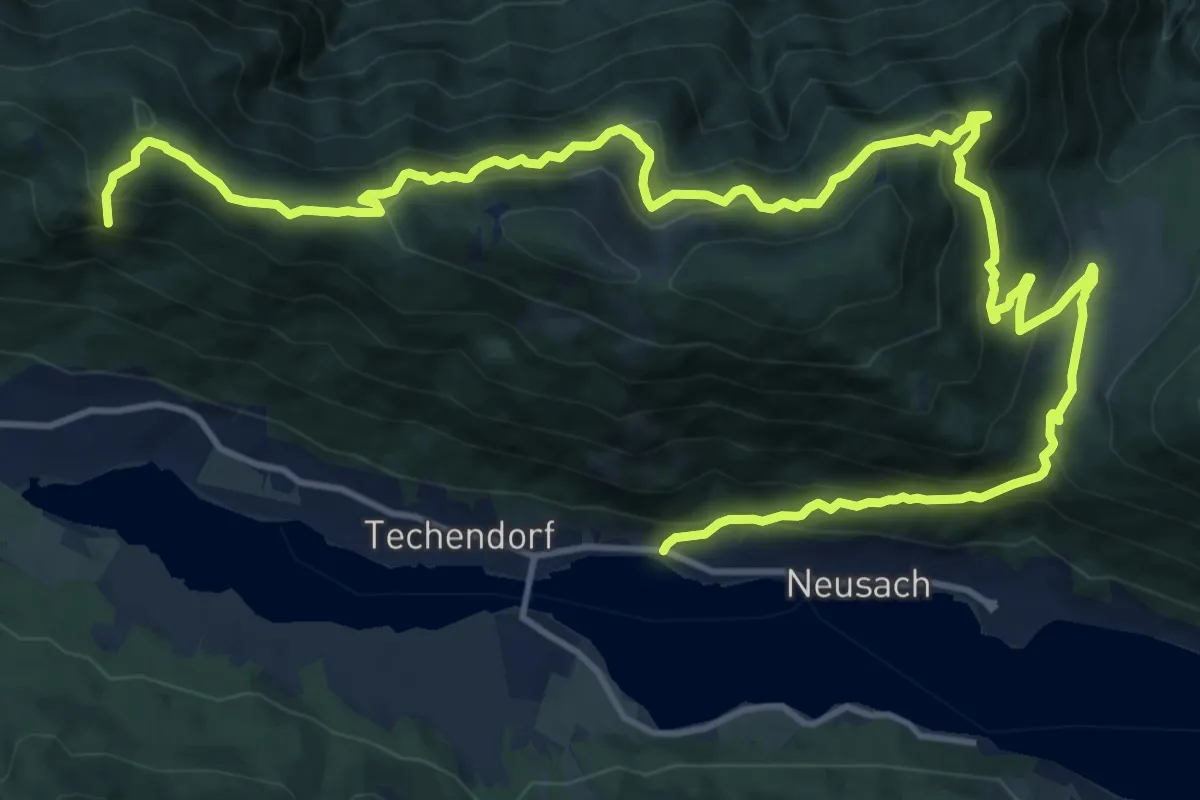
Demanding · Summit
Neusach – Praditz
21.1 km · ↑ 970 m · 7 h 5 min · 11 km away
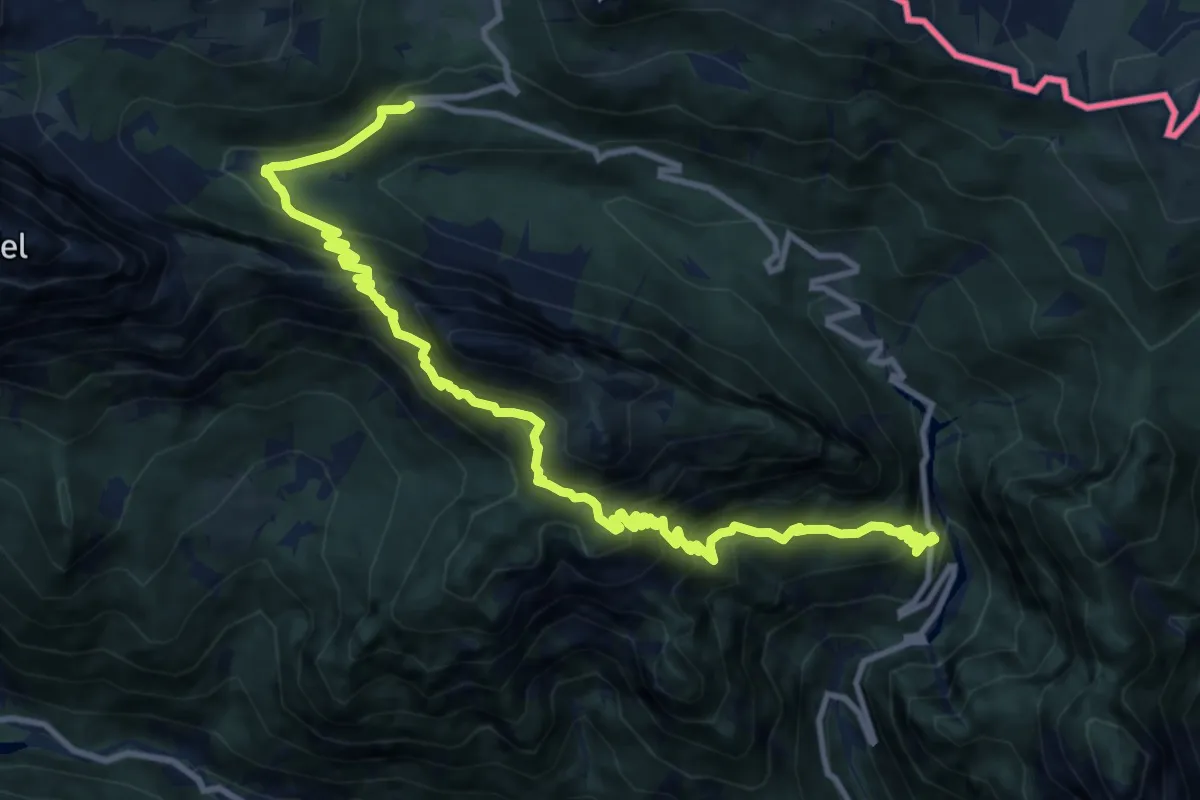
Demanding · Trail
Caserma Guardia di Finanza (quota 1460 m) – Val Rio Bombaso (quota 1020 m)
14.1 km · ↑ 1272 m · 6 h 5 min · 11 km away
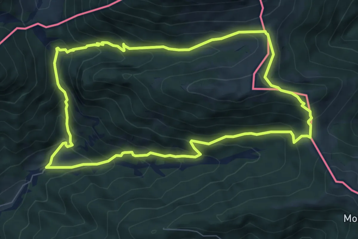
Medium · Cabin
Bivio sentiero n. 507a (quota 1200 m) – Bivio sentiero n. 507a (quota 1200 m)
7.3 km · ↑ 548 m · 3 h 1 min · 11 km away
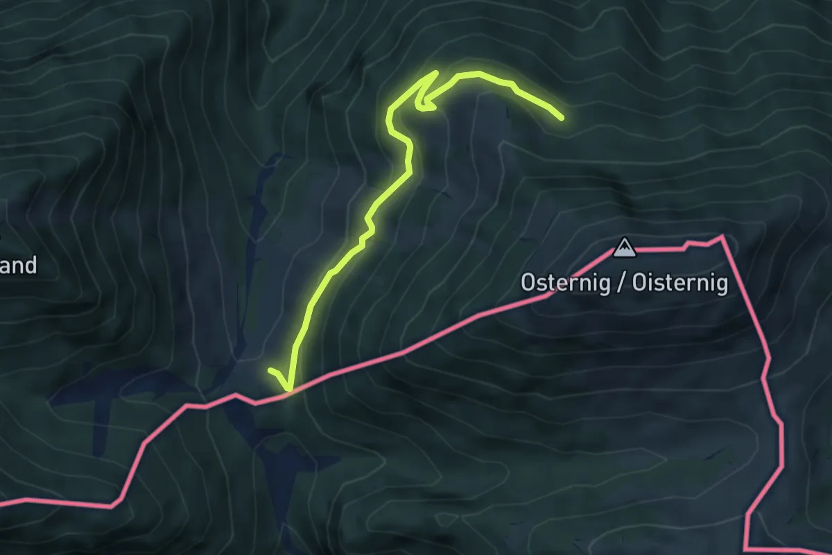
Easy · Cabin
Wanderweg 477
4.8 km · ↑ 232 m · 1 h 38 min · 12 km away
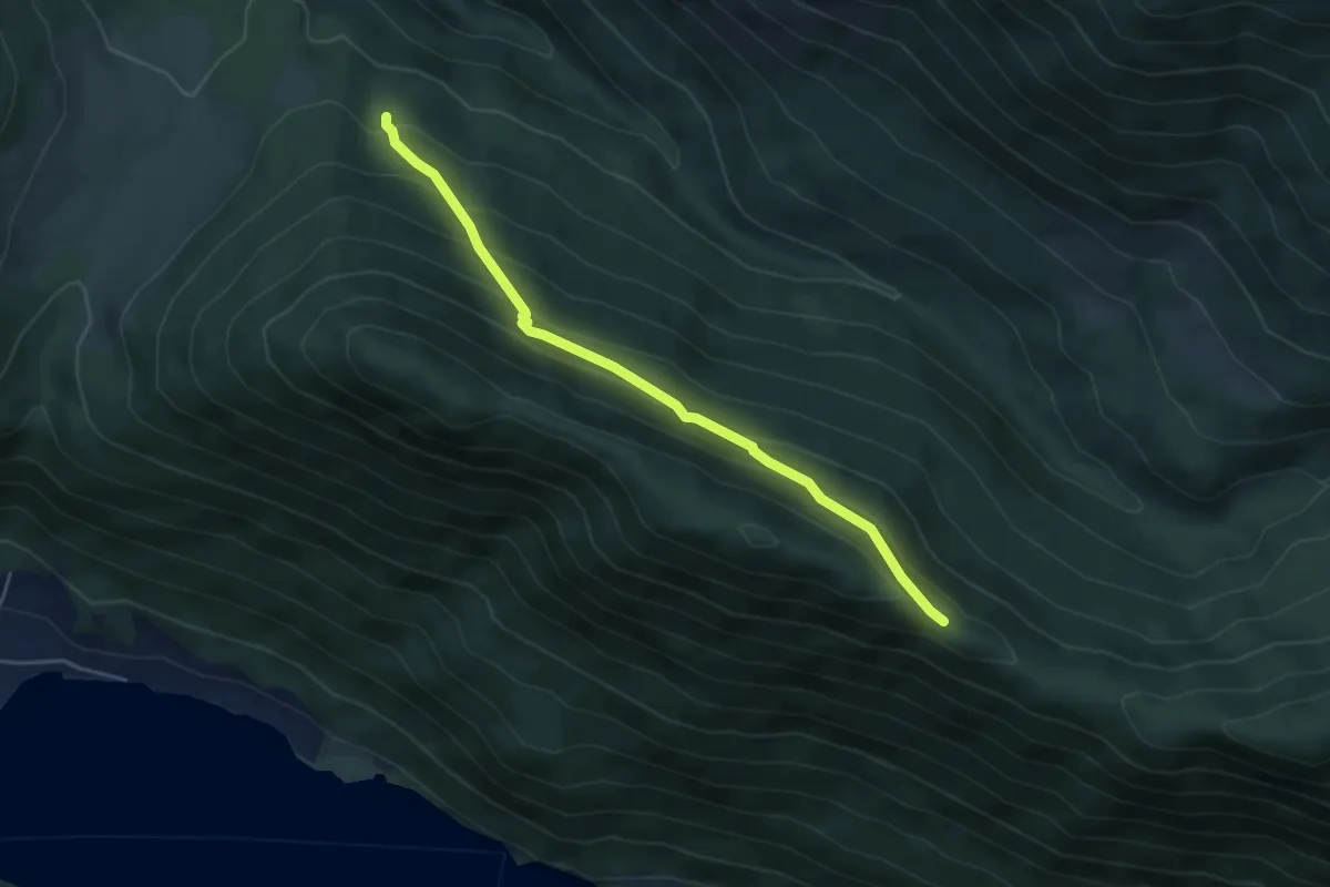
Easy · Trail
Fellschartenhütte – Zihagas
4.7 km · ↑ 293 m · 1 h 45 min · 12 km away
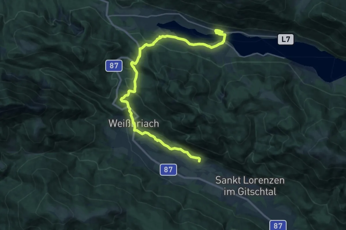
Demanding · Summit
Weg des Buches - Etappe 9
21.4 km · ↑ 545 m · 6 h 14 min · 12 km away
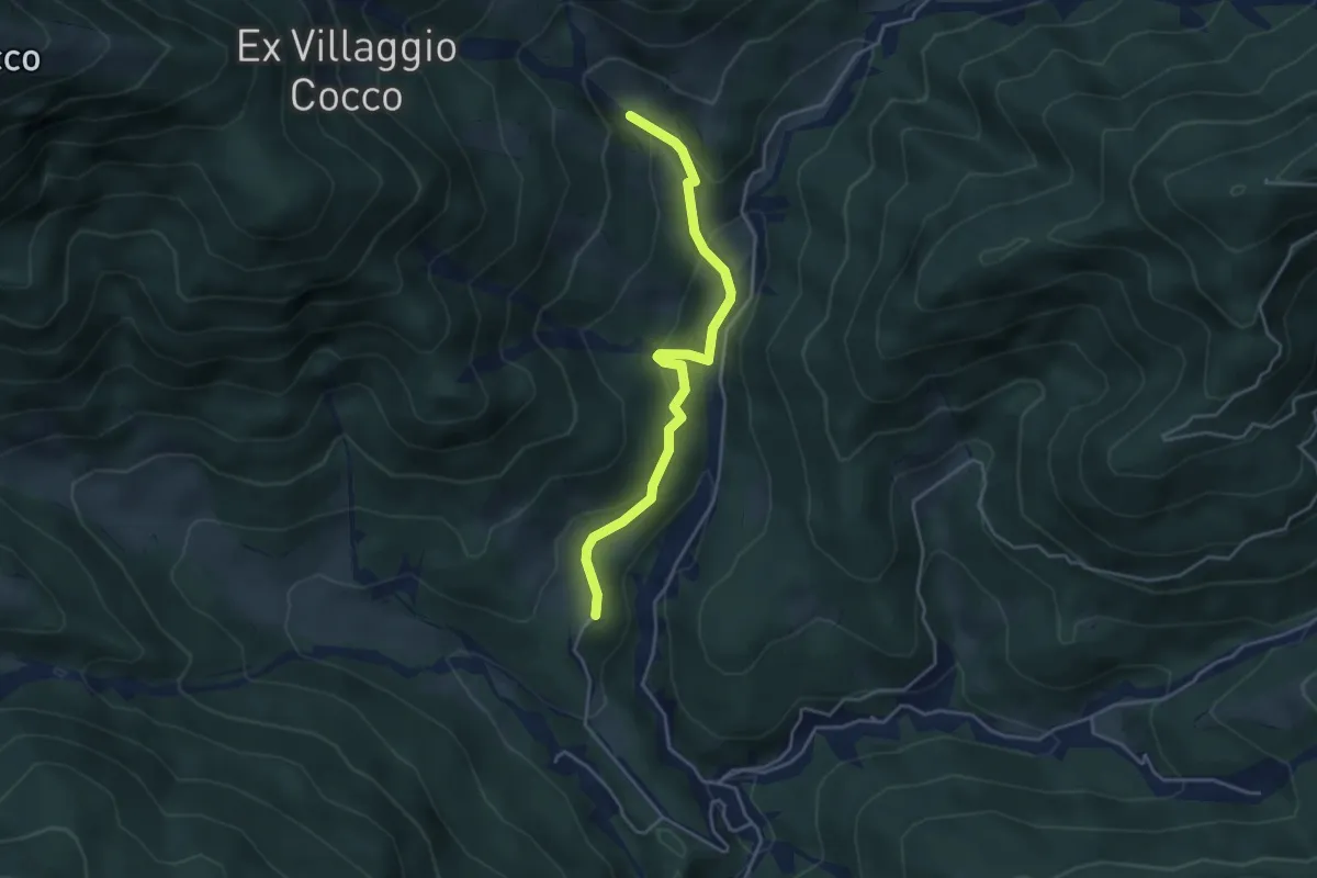
Easy · Cabin
Puanina Tour (T3)
4.1 km · ↑ 202 m · 1 h 24 min · 12 km away
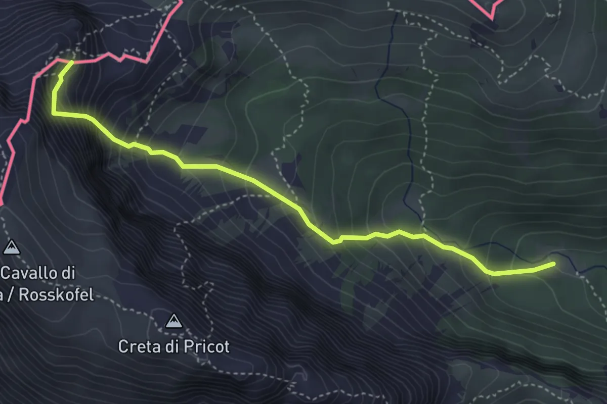
Demanding · Summit
Baita Winkel (quota 1470 m) – Attacco ferrata Contin (quota 2000 m)
4.1 km · ↑ 727 m · 2 h 33 min · 12 km away
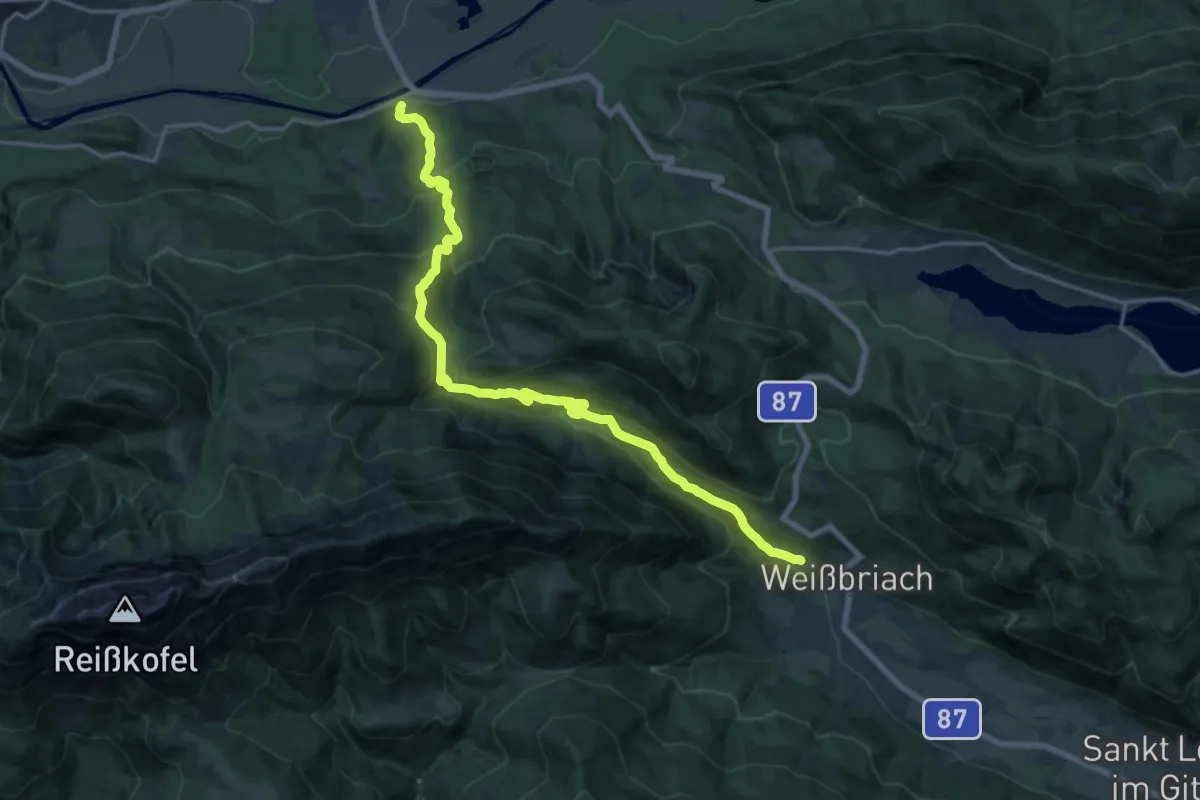
Demanding · Trail
Wanderweg 238
19.5 km · ↑ 919 m · 6 h 36 min · 12 km away
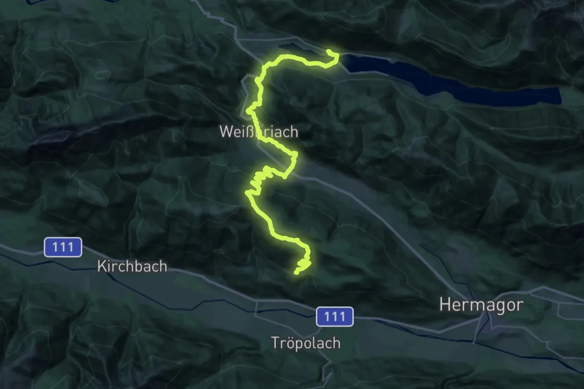
Demanding · Trail
Weg des Buches - Etappe 9A
20.5 km · ↑ 821 m · 6 h 52 min · 12 km away
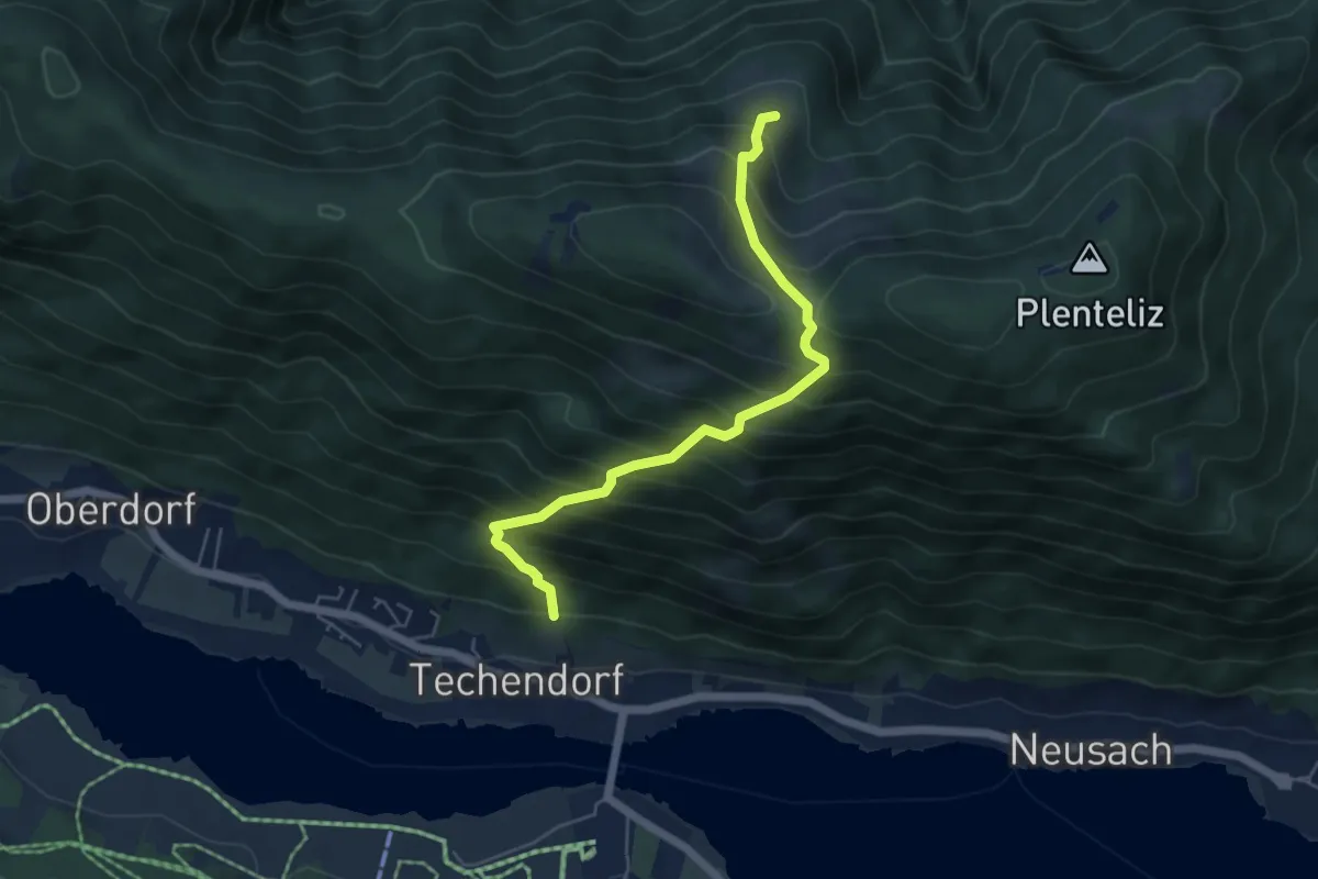
Demanding · Trail
Gajacher Alm - Hochtrateb
5.3 km · ↑ 757 m · 2 h 53 min · 12 km away
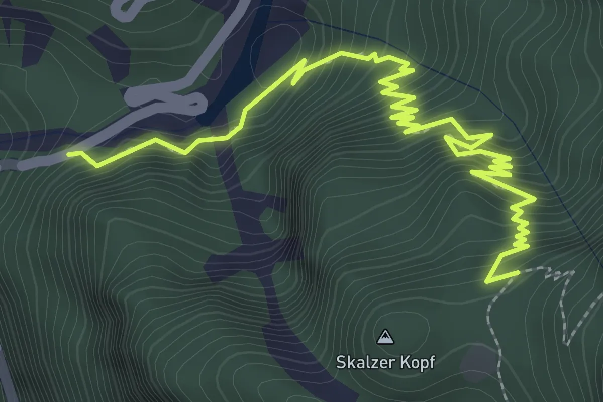
Demanding · Trail
Strada per Pramollo (quota 900 m) – Prati Scalzer, Bivio sentiero n. 501 (quota 1241 m)
3.6 km · ↑ 418 m · 1 h 45 min · 12 km away
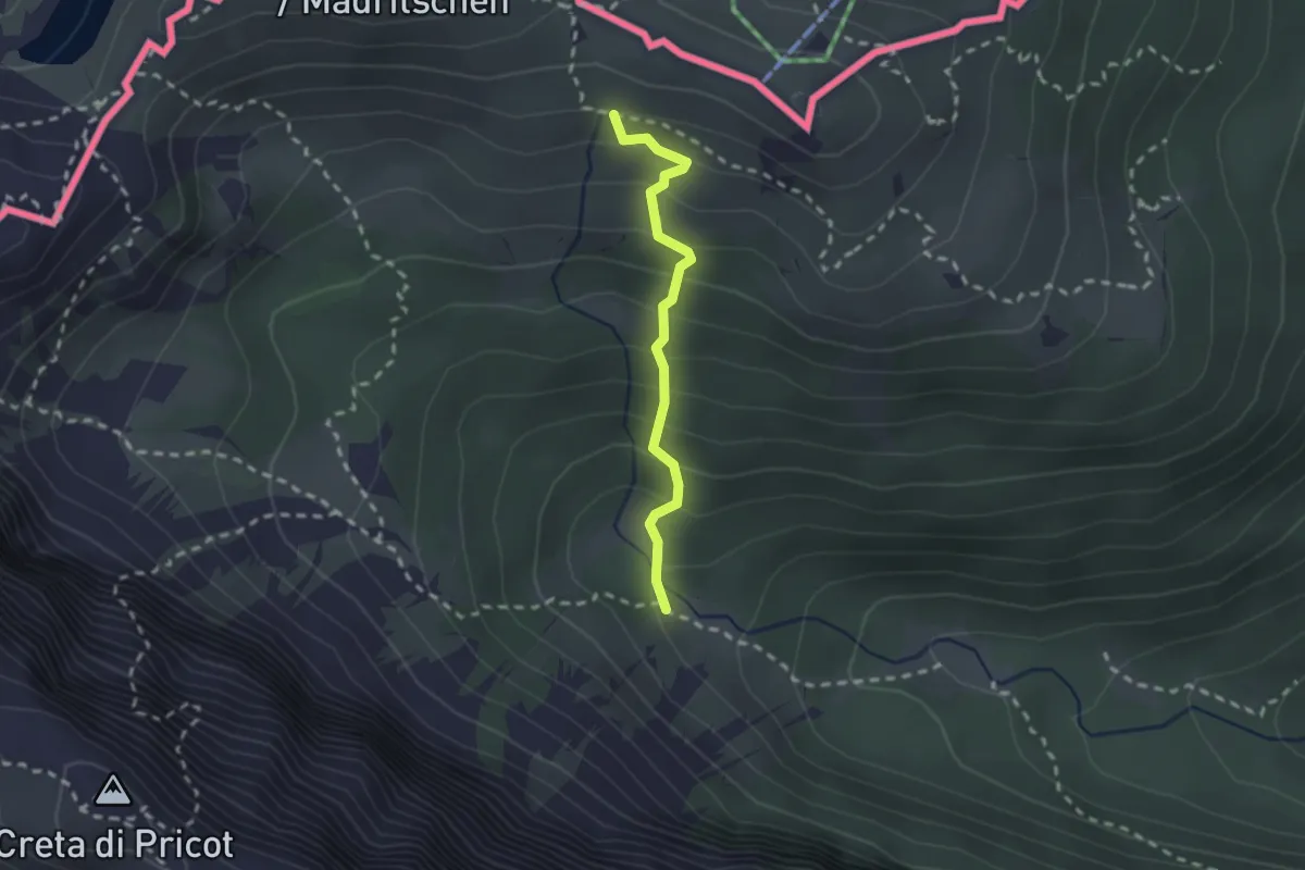
Medium · Trail
Bivio sentiero n. 469 (quota 1560 m) – Bivio sentiero n. 403a (quota 1785 m)
1.9 km · ↑ 223 m · 56 min · 12 km away
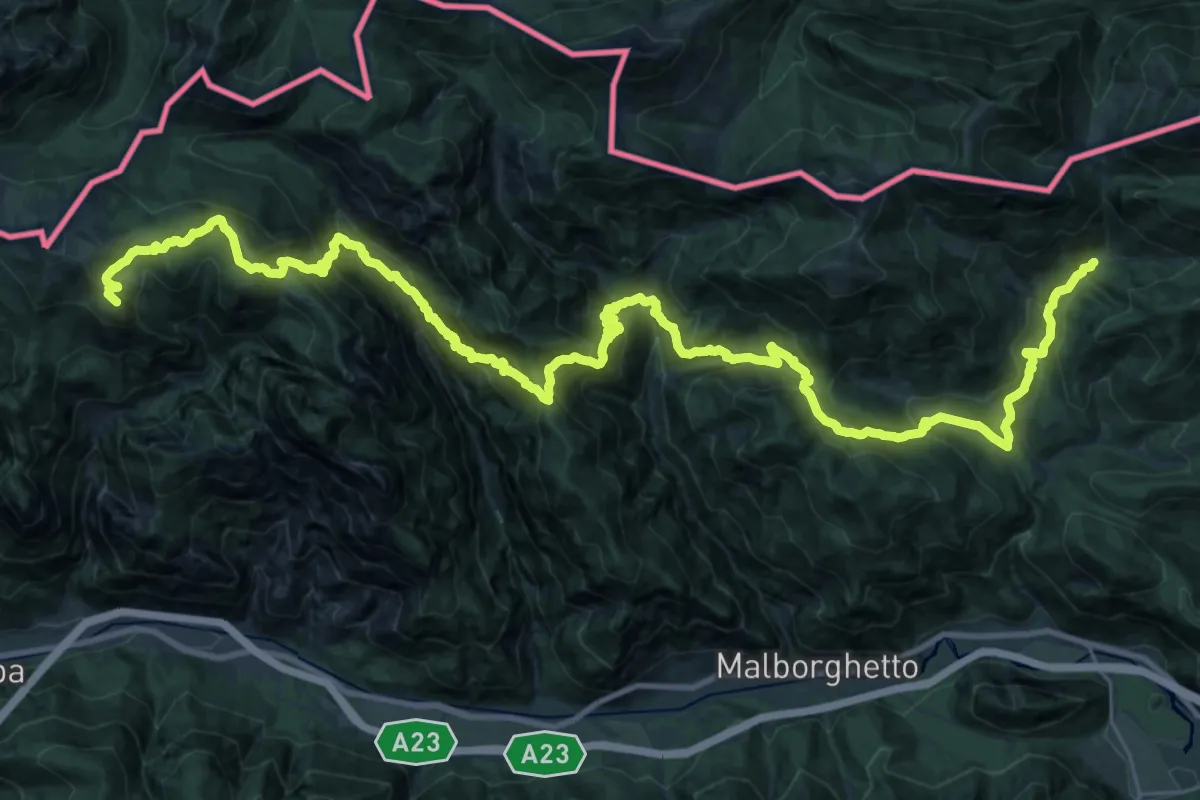
Demanding · Summit
Passo Pramollo (quota 1528 m) – Ex Rifugio Nordio-Deffar (quota 1210 m)
41.2 km · ↑ 3145 m · 16 h 32 min · 12 km away
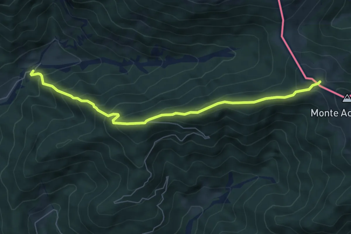
Medium · Trail
Bivio sentiero n. 507 (quota 1200 m) – Bivio sentiero n. 508 (quota 1712 m)
6.4 km · ↑ 516 m · 2 h 38 min · 12 km away
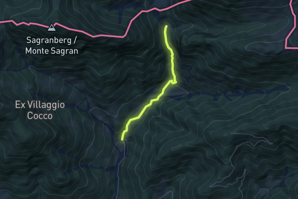
Easy · Cabin
Puanina Tour (E1)
4.3 km · ↑ 273 m · 1 h 36 min · 12 km away
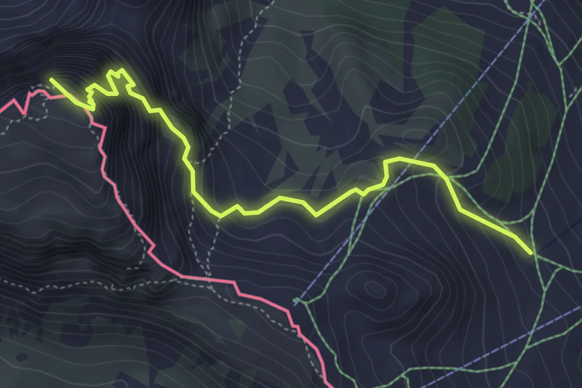
Expert · Summit
Wanderweg 413 - Hermagor
4.9 km · ↑ 612 m · 2 h 29 min · 12 km away
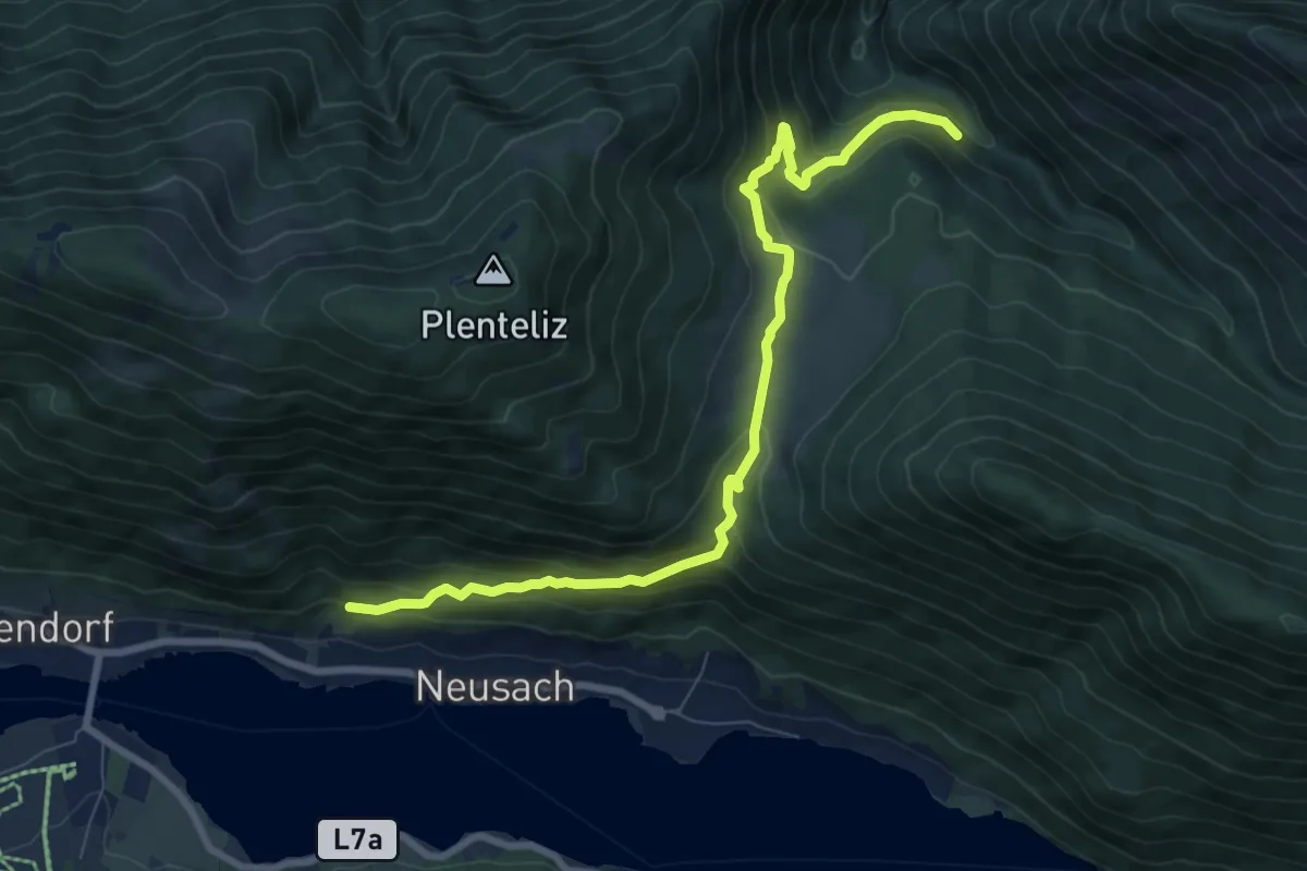
Medium · Trail
Wanderweg 259
8.8 km · ↑ 476 m · 3 h 7 min · 12 km away
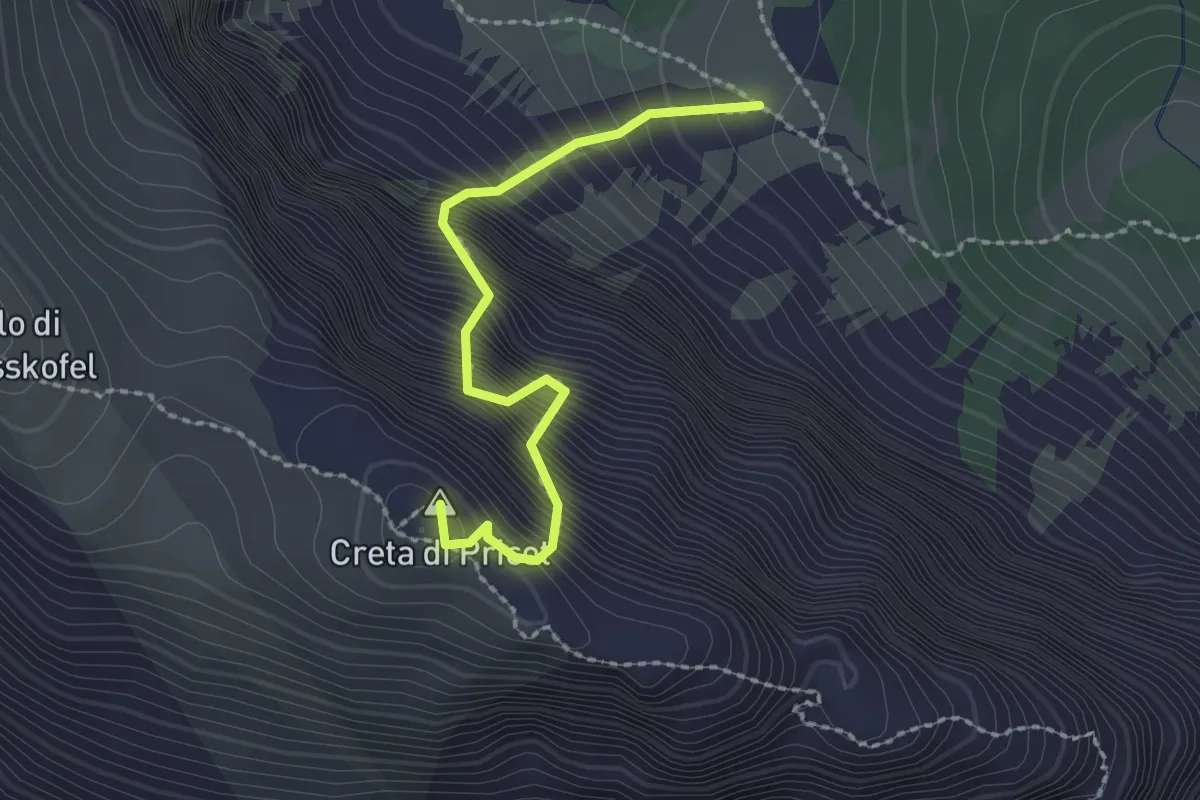
Expert · Summit
Via Fausto Schiavi
2.1 km · ↑ 686 m · 2 h · 12 km away
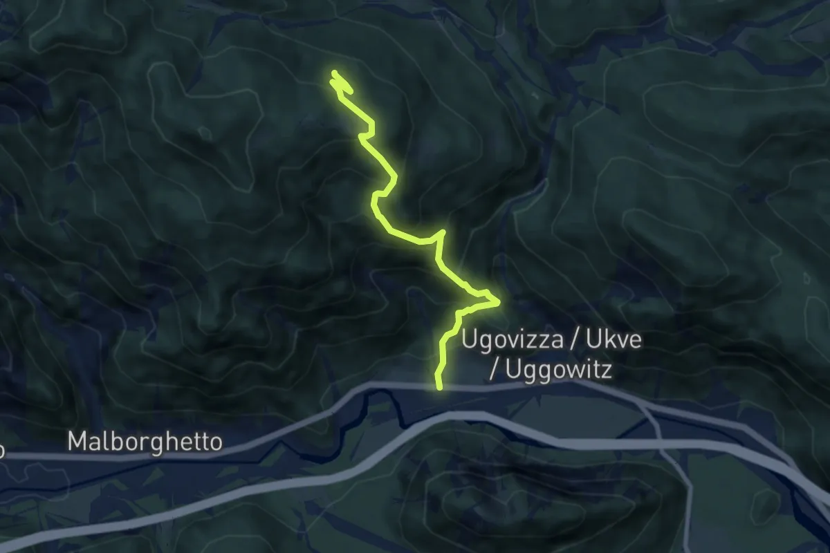
Medium · Trail
Ugovizza (quota 770 m) – Bivio sentiero n. 504a (quota 1340 m)
6.9 km · ↑ 736 m · 3 h 14 min · 13 km away
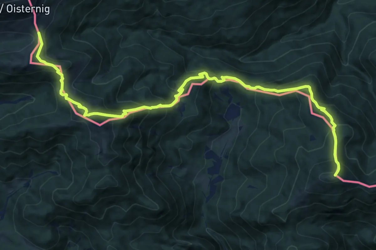
Demanding · Summit
Via Alpina Red R16
16.4 km · ↑ 1387 m · 6 h 53 min · 13 km away
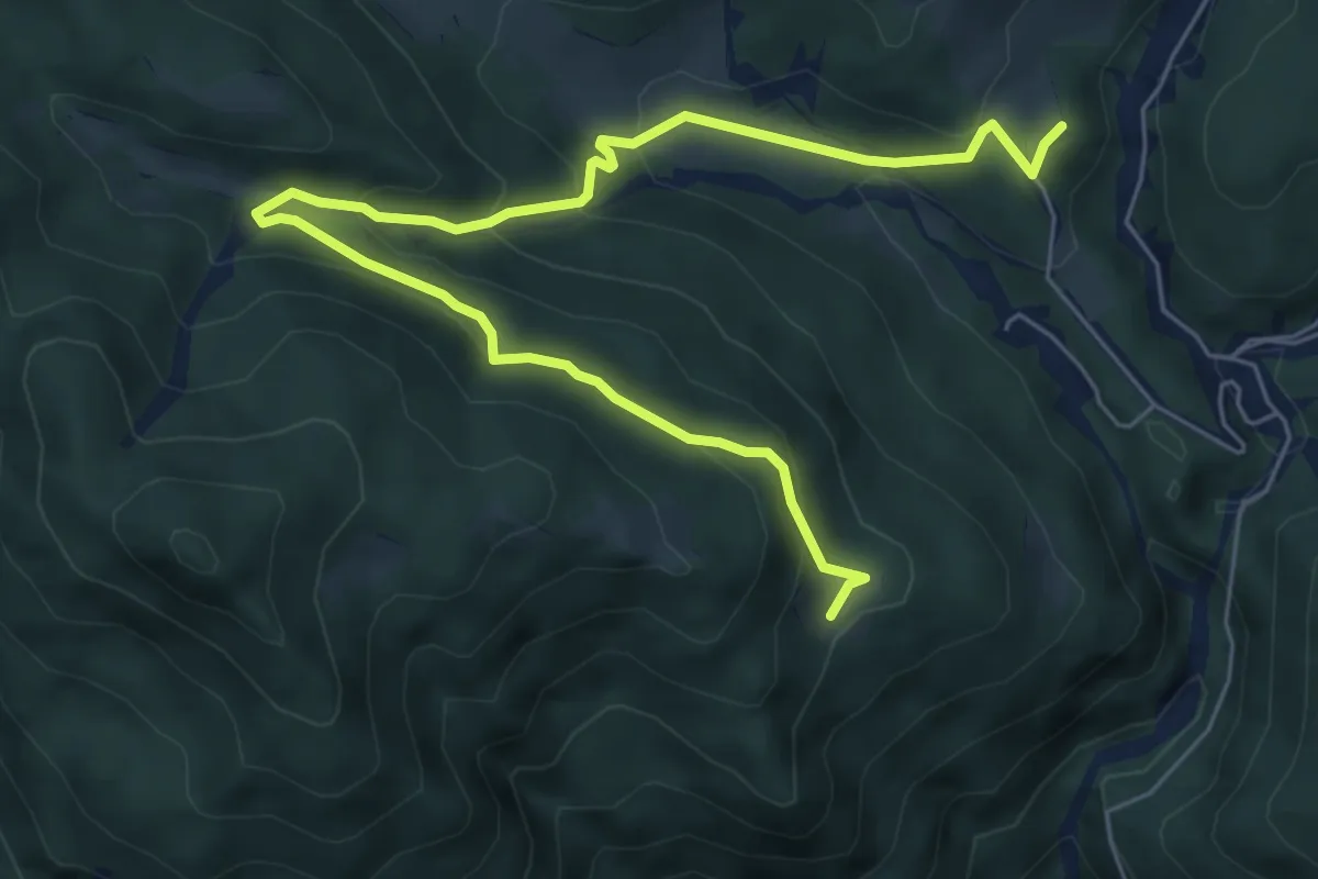
Demanding · Cabin
Puanina Tour (T2)
7.9 km · ↑ 462 m · 2 h 52 min · 13 km away
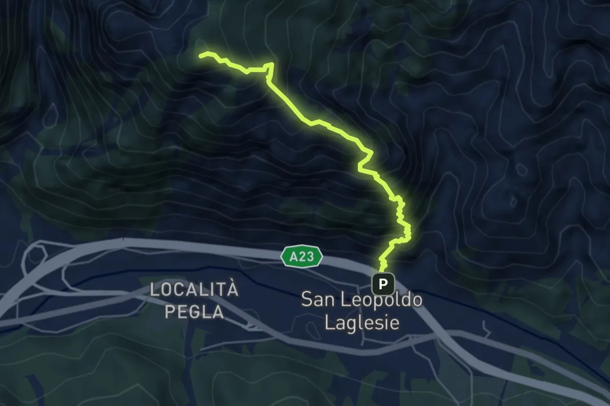
Demanding · Summit
San Leopoldo (quota 607 m) – Bivio sentiero 501 (quota 1400 m)
4.5 km · ↑ 805 m · 2 h 48 min · 13 km away
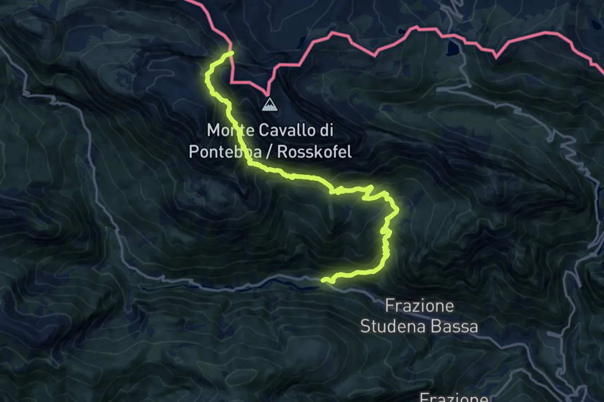
Demanding · Trail
Studena Bassa (quota 730 m) – Sella Aip (quota 1942 m)
16.0 km · ↑ 1551 m · 7 h 8 min · 13 km away
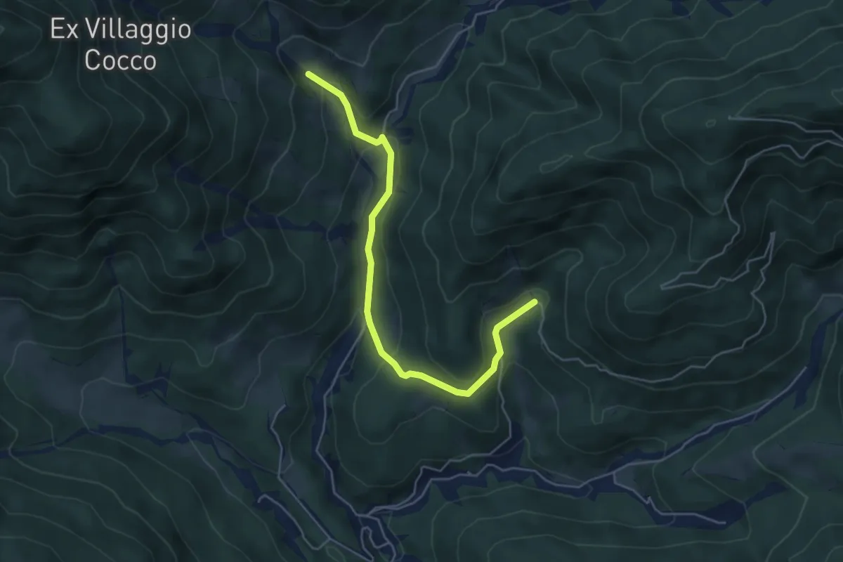
Medium · Trail
Puanina Tour (T4)
5.1 km · ↑ 272 m · 1 h 48 min · 13 km away
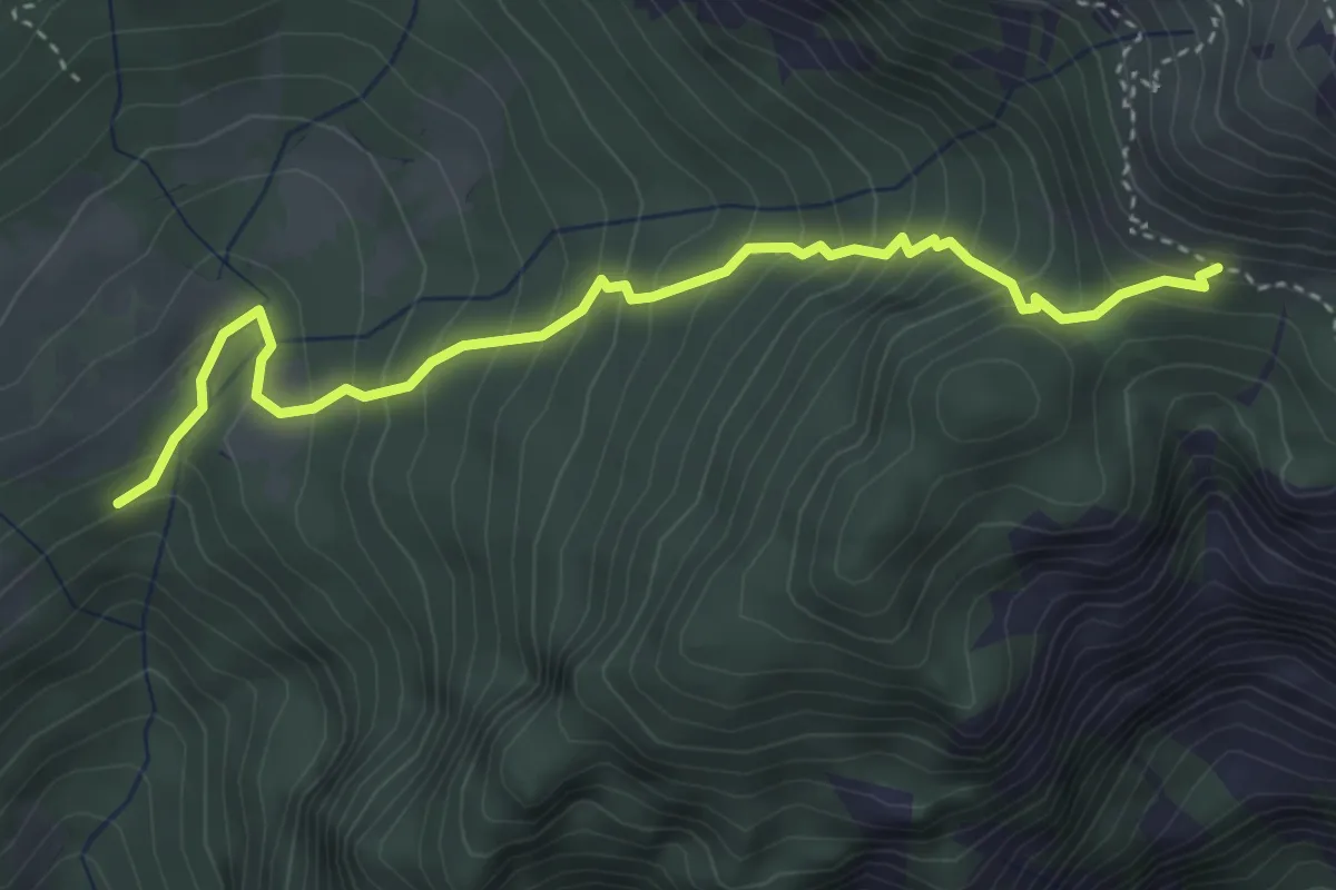
Medium · Trail
Conca di Pricot (quota 1125 m) – Bivio sentiero n. 433 Panegouz (quota 1550 m)
4.0 km · ↑ 485 m · 2 h · 13 km away
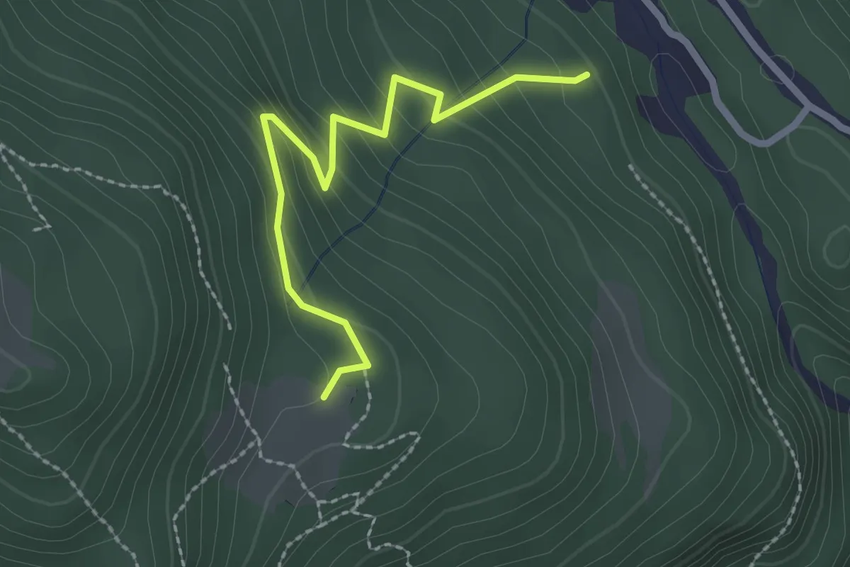
Easy · Cabin
Puanina Tour (V2)
2.3 km · ↑ 224 m · 1 h 1 min · 13 km away
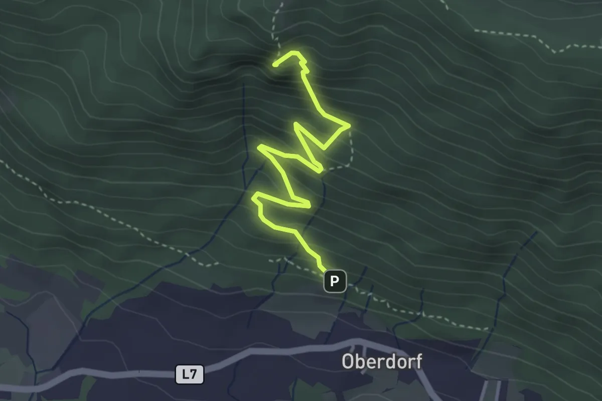
Demanding · Summit
Oberdorf – Weiße Wand
3.6 km · ↑ 354 m · 1 h 36 min · 13 km away
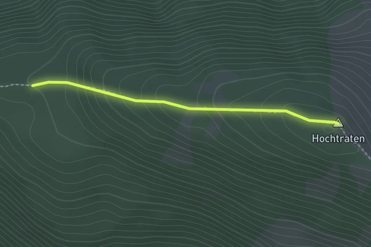
Medium · Summit
Hochtraten – 2/Weiße Wand
1.8 km · ↑ 146 m · 45 min · 13 km away
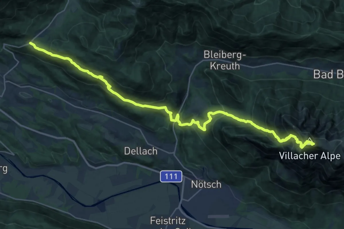
Demanding · Summit
JK29
14.0 km · ↑ 1535 m · 6 h 18 min · 13 km away
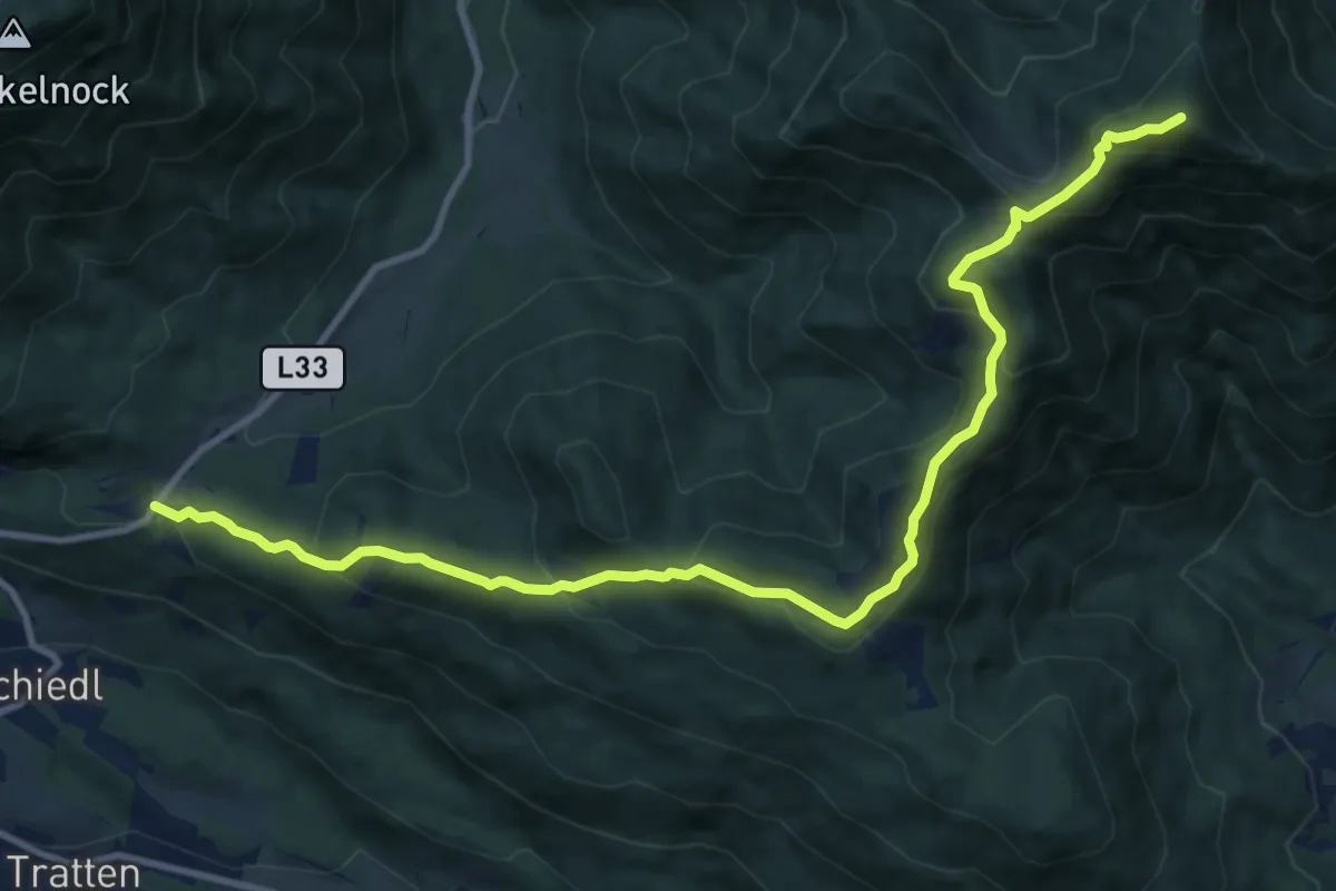
Expert · Summit
Wanderweg 288
12.5 km · ↑ 756 m · 4 h 36 min · 13 km away
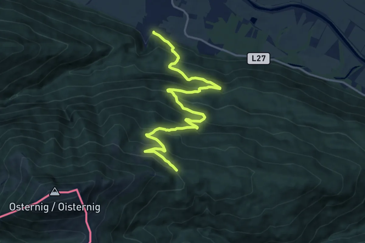
Demanding · Trail
Wanderweg 478
12.8 km · ↑ 895 m · 4 h 57 min · 13 km away
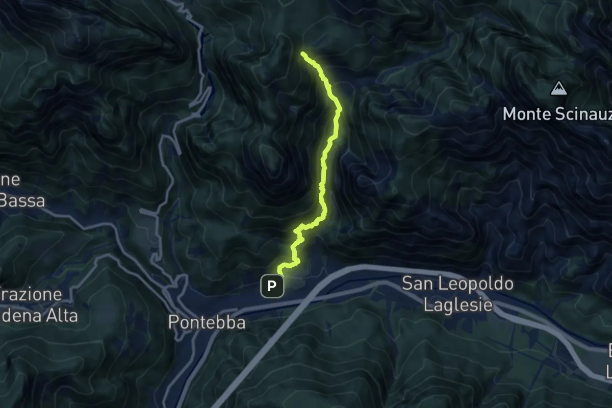
Expert · Trail
via Ferrata "Lorenzo Palla"
8.0 km · ↑ 1104 m · 4 h 18 min · 14 km away
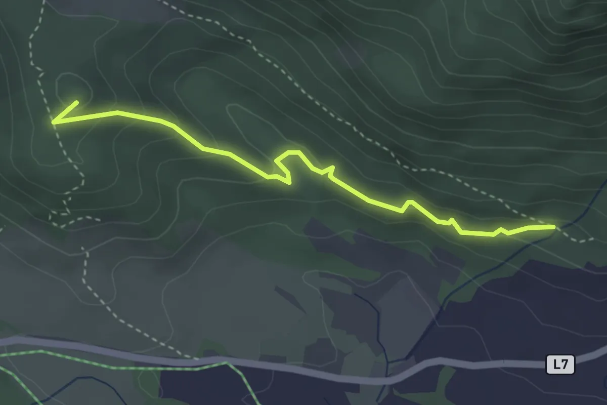
Medium · Summit
Trabitscher – Oberdorf
3.4 km · ↑ 174 m · 1 h 11 min · 14 km away
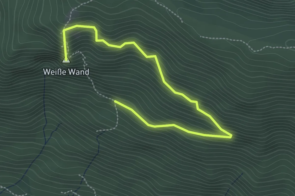
Medium · Summit
7/Oberdorf – 7/Weiße Wand
3.4 km · ↑ 245 m · 1 h 20 min · 14 km away
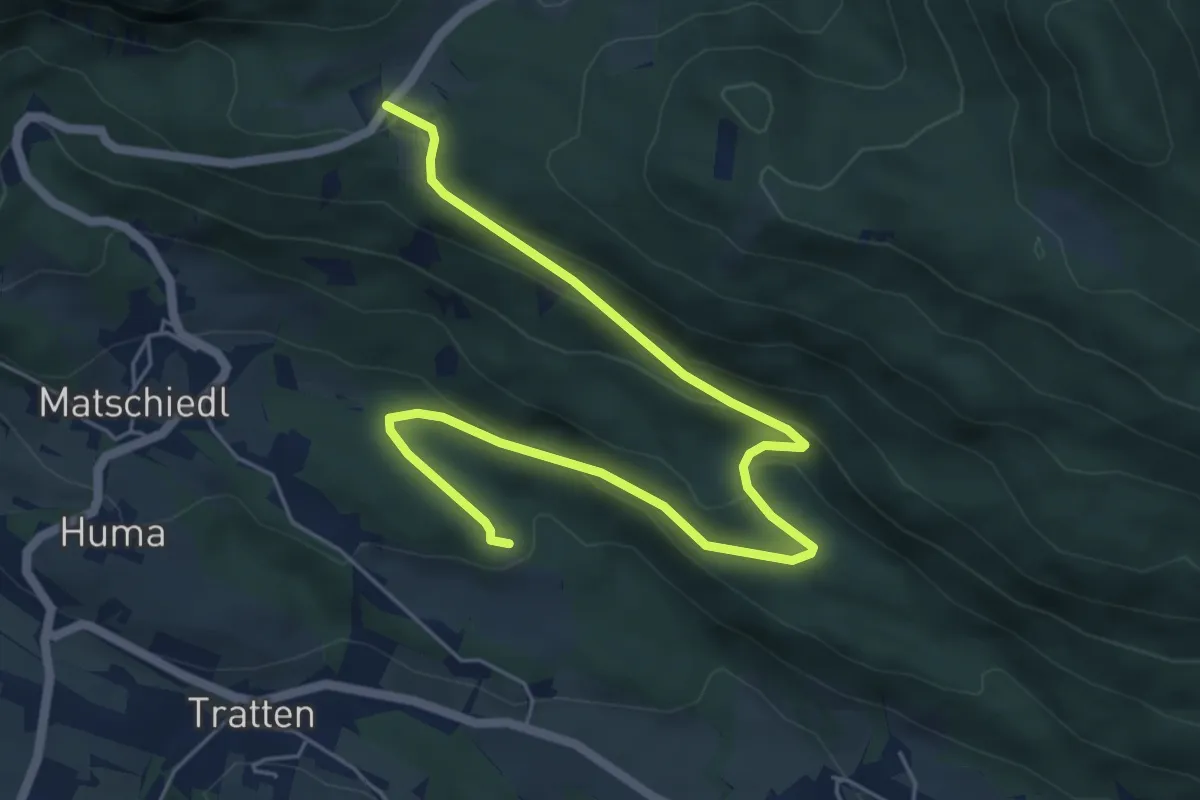
Easy · Trail
Wanderweg Tratten - Windische Hoehe
7.0 km · ↑ 254 m · 2 h 13 min · 14 km away
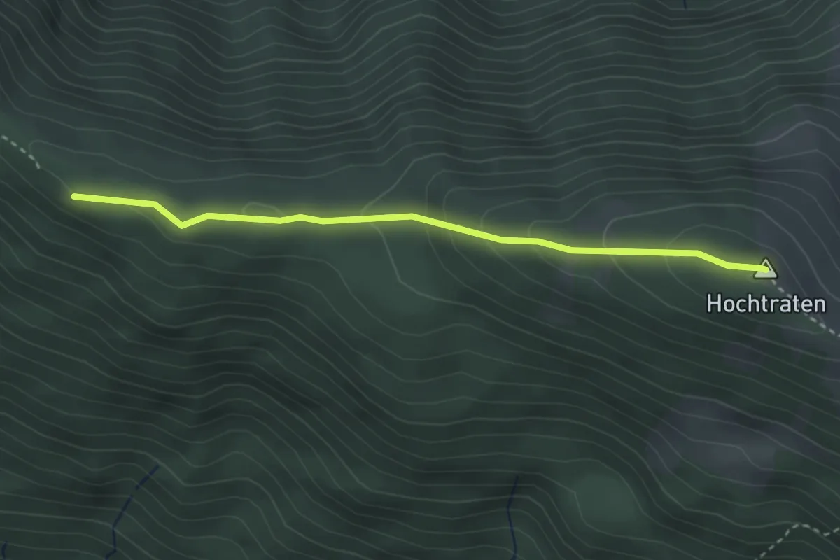
Medium · Summit
Wanderweg 256
3.2 km · ↑ 185 m · 1 h 9 min · 14 km away
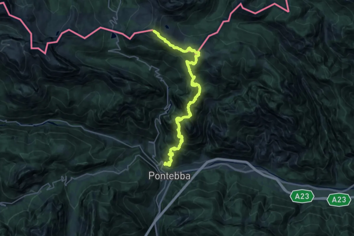
Expert · Summit
Sentiero Bepi della Schiava
24.5 km · ↑ 2279 m · 10 h 44 min · 14 km away
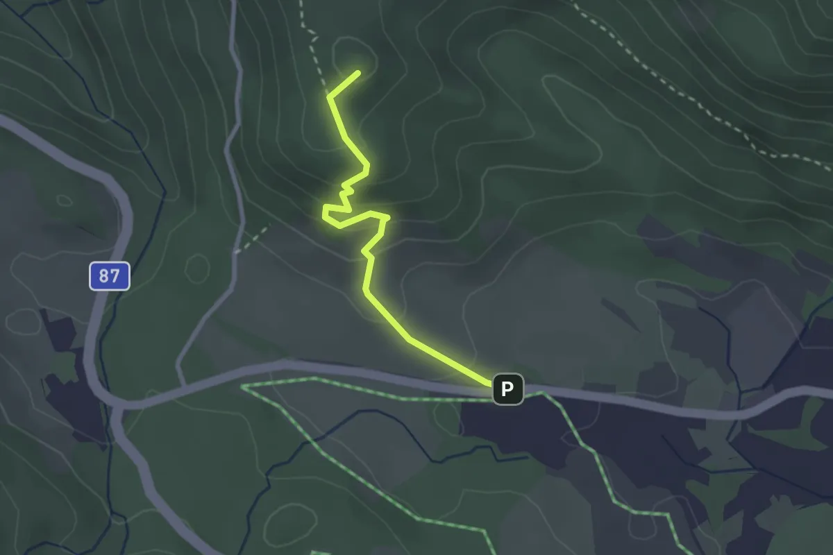
Medium · Summit
Urschitz – Parkplatz Praditz West
2.4 km · ↑ 146 m · 53 min · 14 km away