Trails near Hermagor
119 hikes starting within 15 km, nearest first.
Nearest first, page 3 of 3
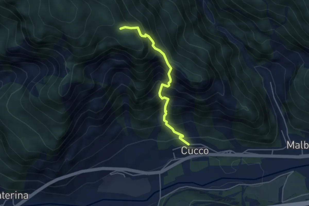
Medium · Trail
Località Cucco di Malborghetto (quota 700 m) – Incrocio sentiero n. 502 (quota 1300 m)
3.5 km · ↑ 607 m · 2 h 8 min · 14 km away
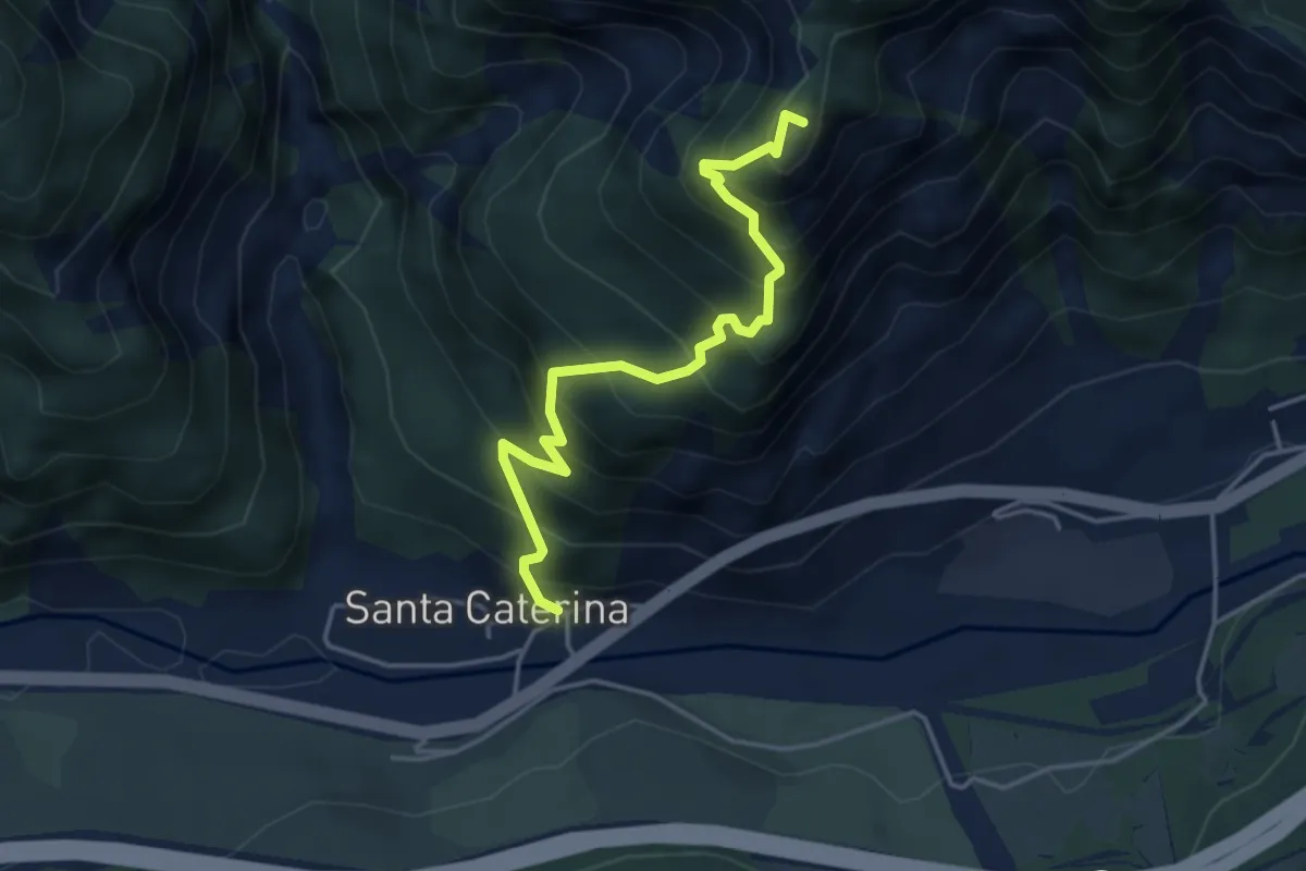
Expert · Summit
Località Cucco di Malborghetto (quota 700 m) – Sella Clinach (quota 1441 m)
4.2 km · ↑ 623 m · 2 h 21 min · 14 km away
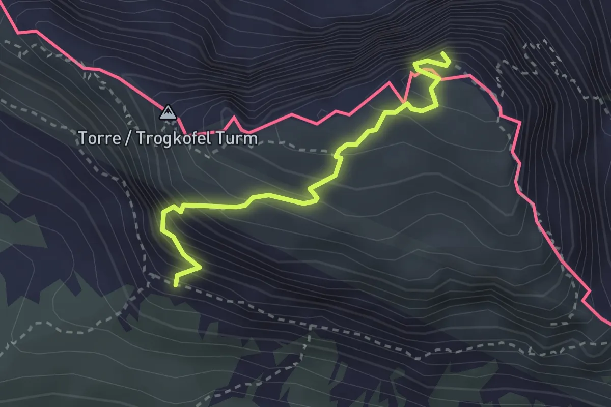
Expert · Summit
Via normale Creta di Aip
2.6 km · ↑ 424 m · 1 h 32 min · 14 km away
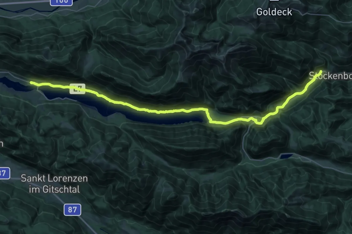
Demanding · Trail
Weg des Buches - Etappe 8
18.2 km · ↑ 289 m · 5 h 7 min · 14 km away
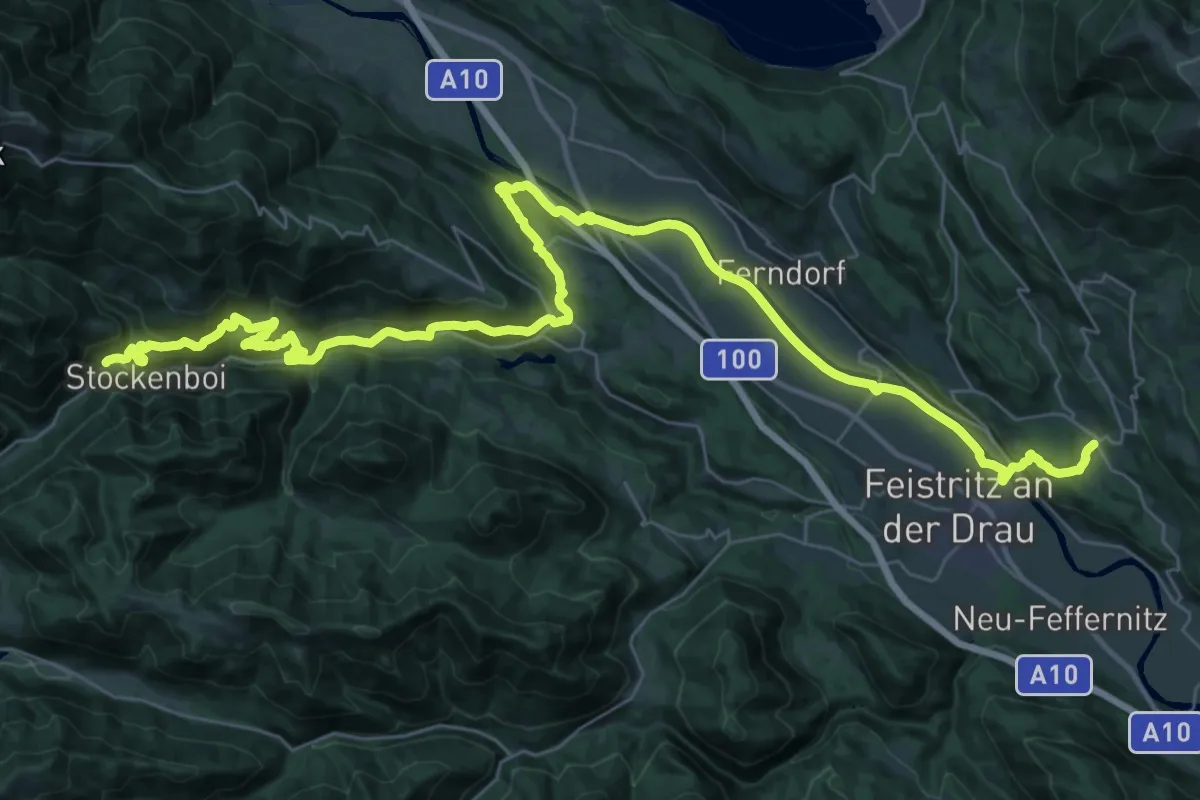
Demanding · Trail
Weg des Buches - Etappe 7
25.0 km · ↑ 564 m · 7 h 34 min · 14 km away
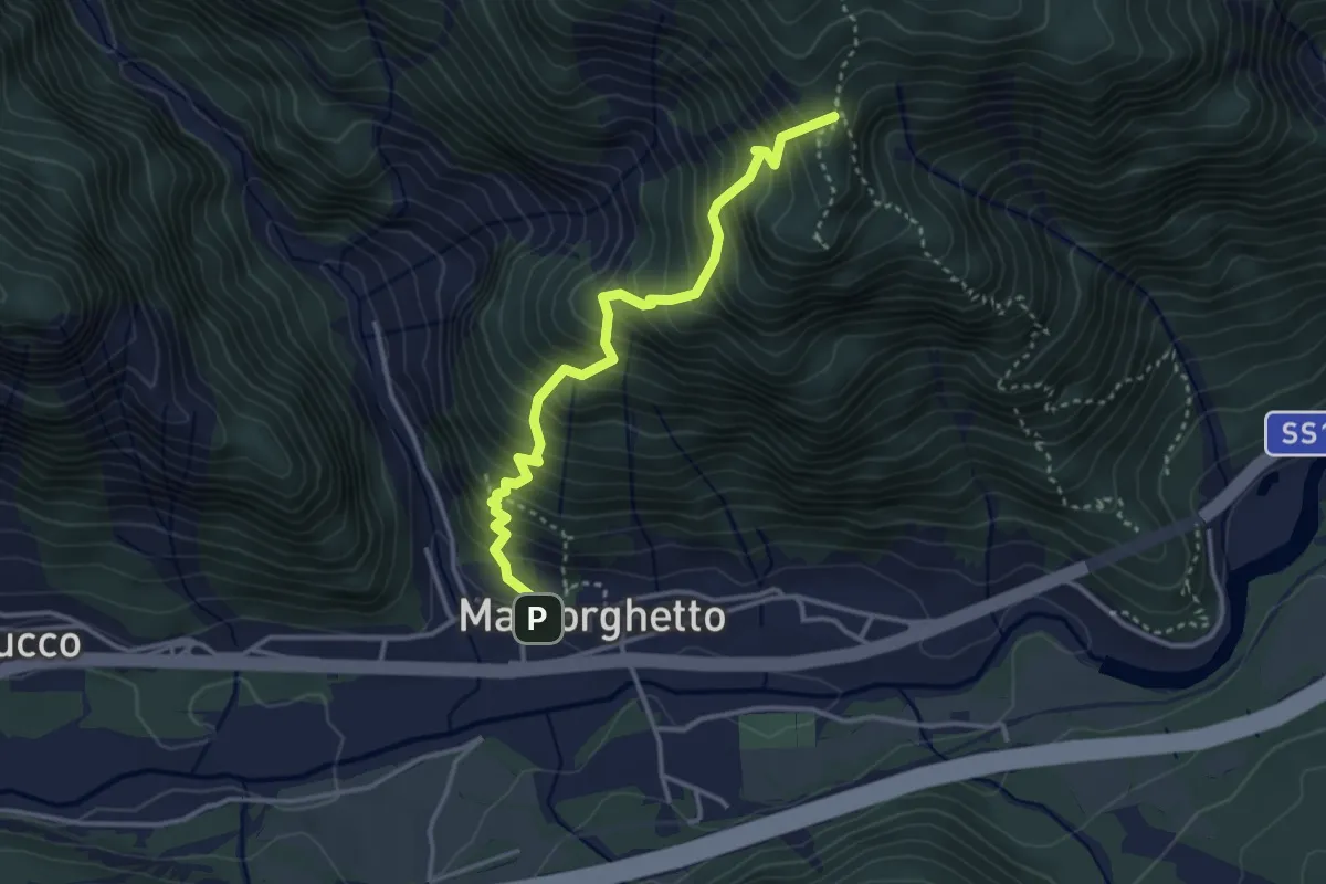
Medium · Trail
Soldatenweg
3.4 km · ↑ 559 m · 2 h 1 min · 14 km away
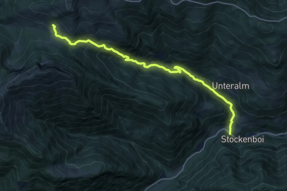
Demanding · Cabin
Wanderweg 283
13.0 km · ↑ 958 m · 5 h 9 min · 14 km away
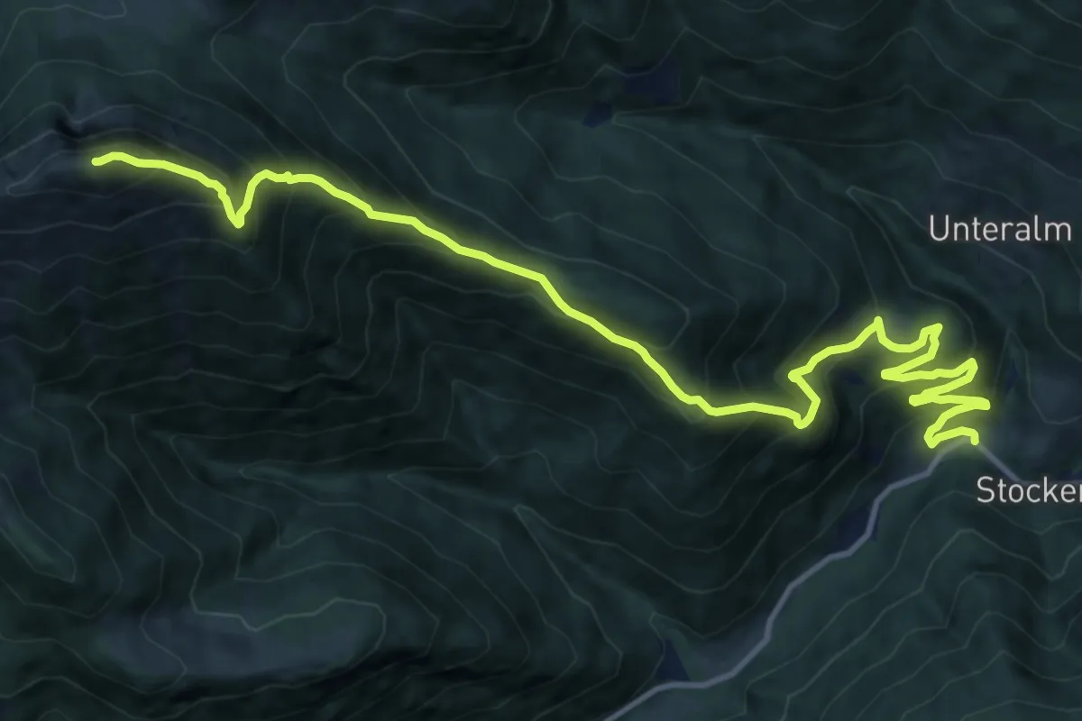
Demanding · Summit
Wanderweg 287
15.5 km · ↑ 1405 m · 6 h 42 min · 14 km away
Demanding · Cabin
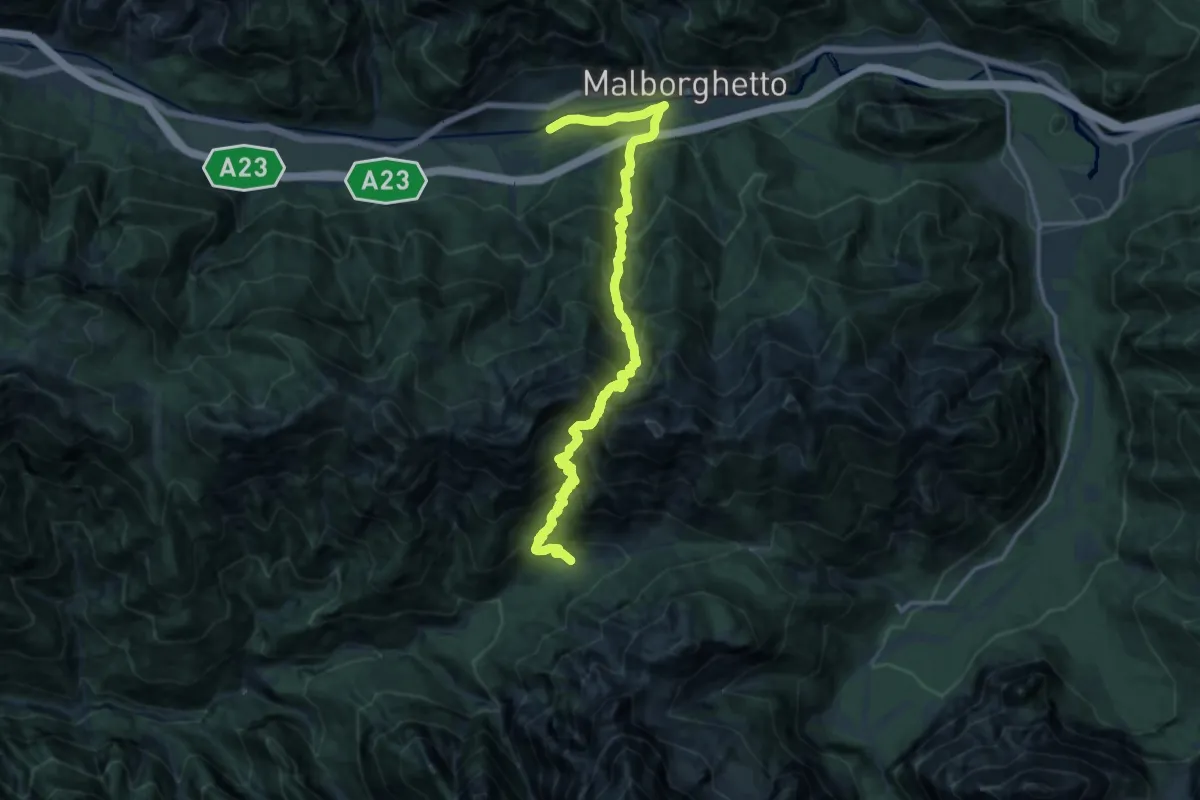
Malborghetto (quota 710 m) – Plan dei Spadovai in Val Dogna (quota 1075 m)
8.6 km · ↑ 1147 m · 4 h 25 min · 14 km away
Demanding · Trail
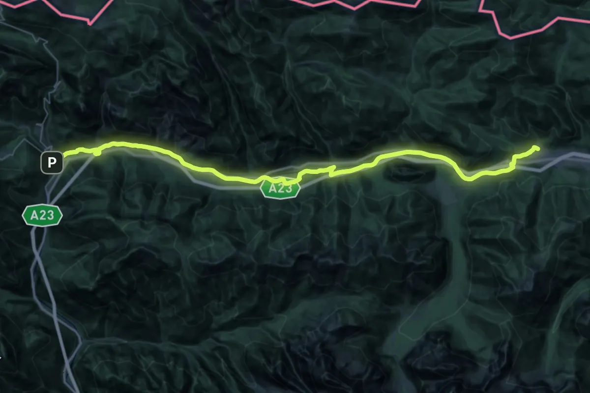
Romea Strata in Italia - Tappa RSIT02
20.9 km · ↑ 390 m · 5 h 56 min · 14 km away
Demanding · Trail
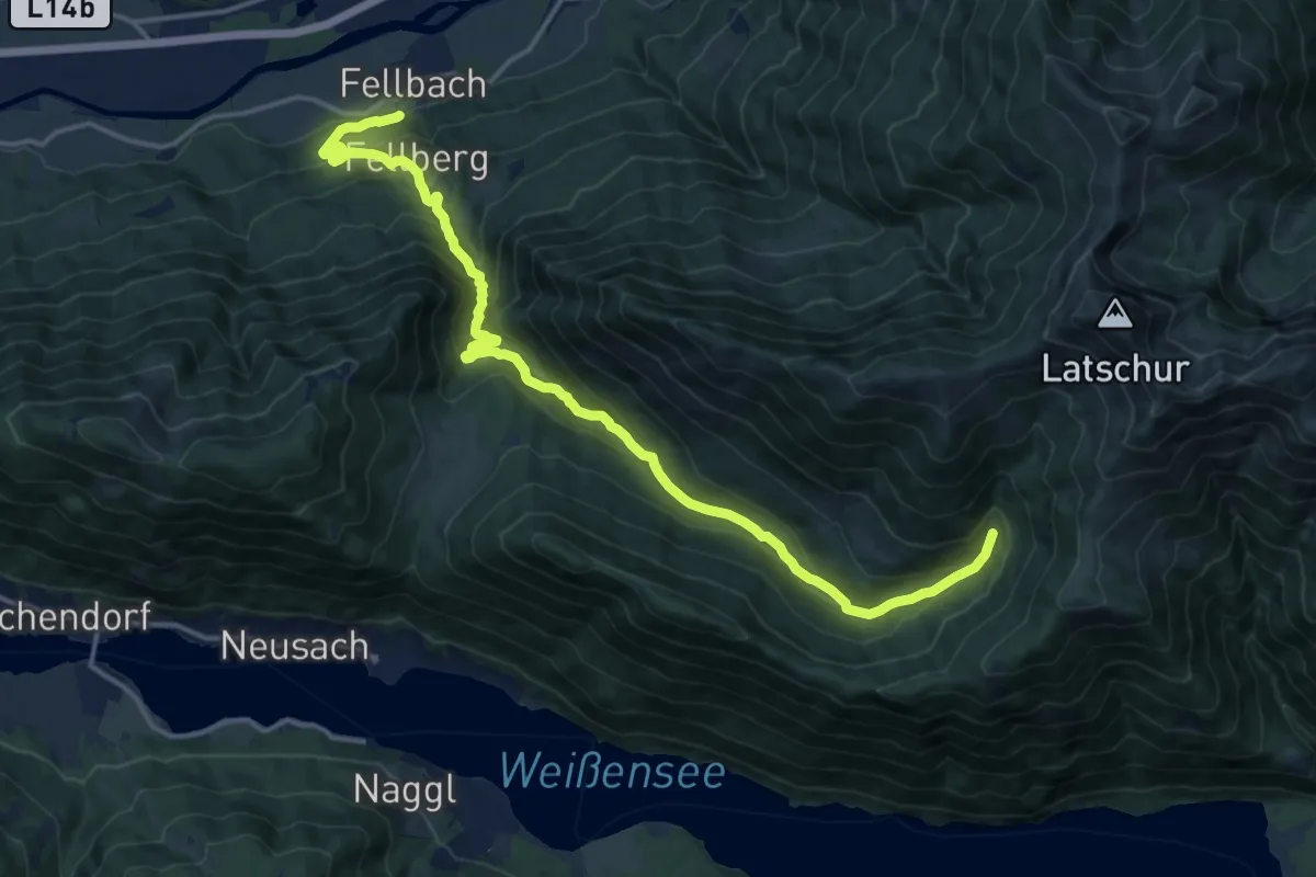
Wanderweg 261
17.6 km · ↑ 890 m · 6 h 5 min · 14 km away
Demanding · Summit
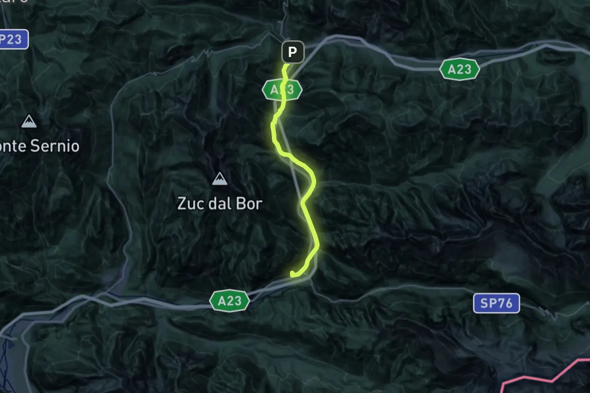
Romea Strata in Italia - Tappa RSIT03
26.6 km · ↑ 838 m · 8 h 6 min · 14 km away
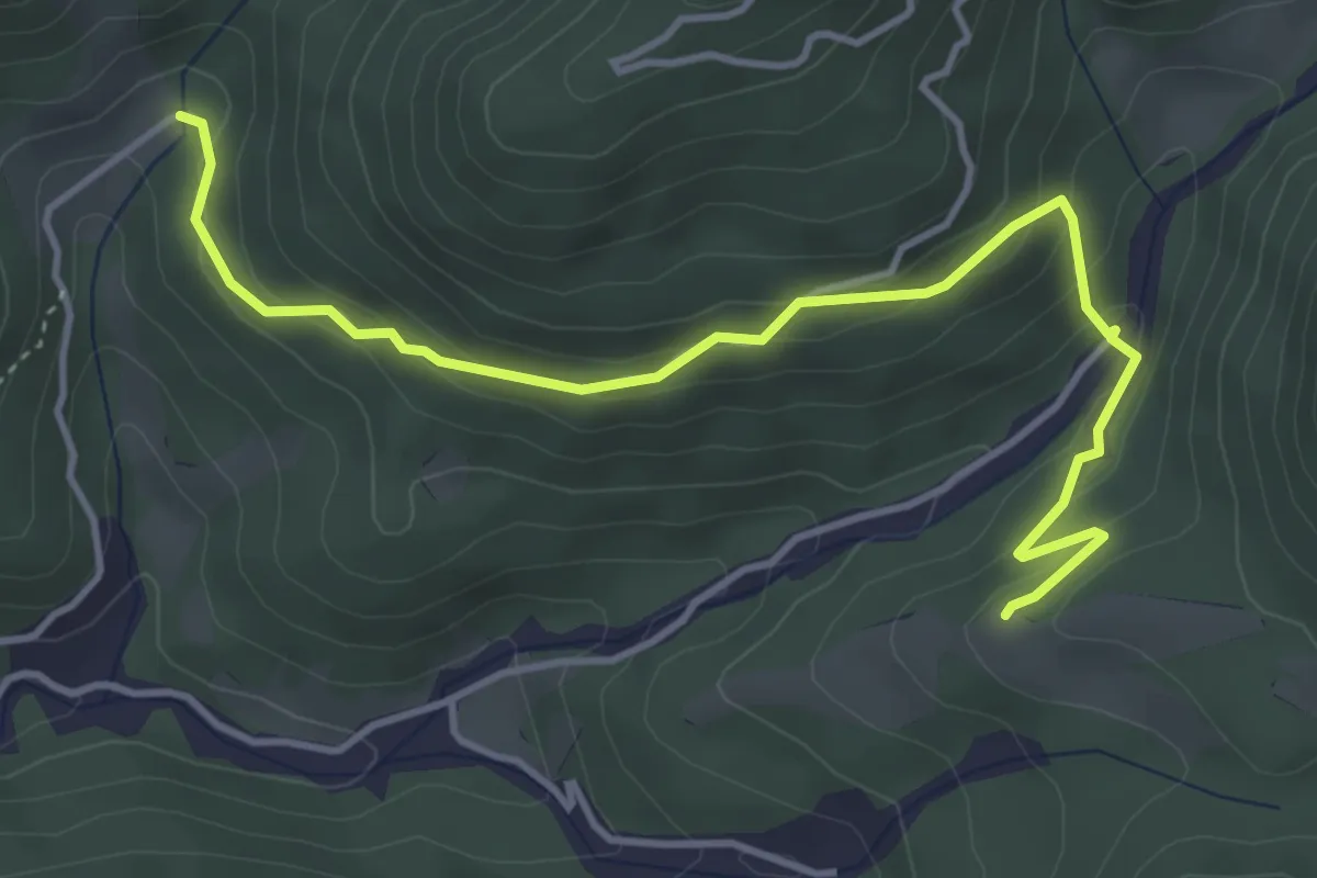
Medium · Trail
Puanina Tour (T5)
4.7 km · ↑ 268 m · 1 h 41 min · 14 km away
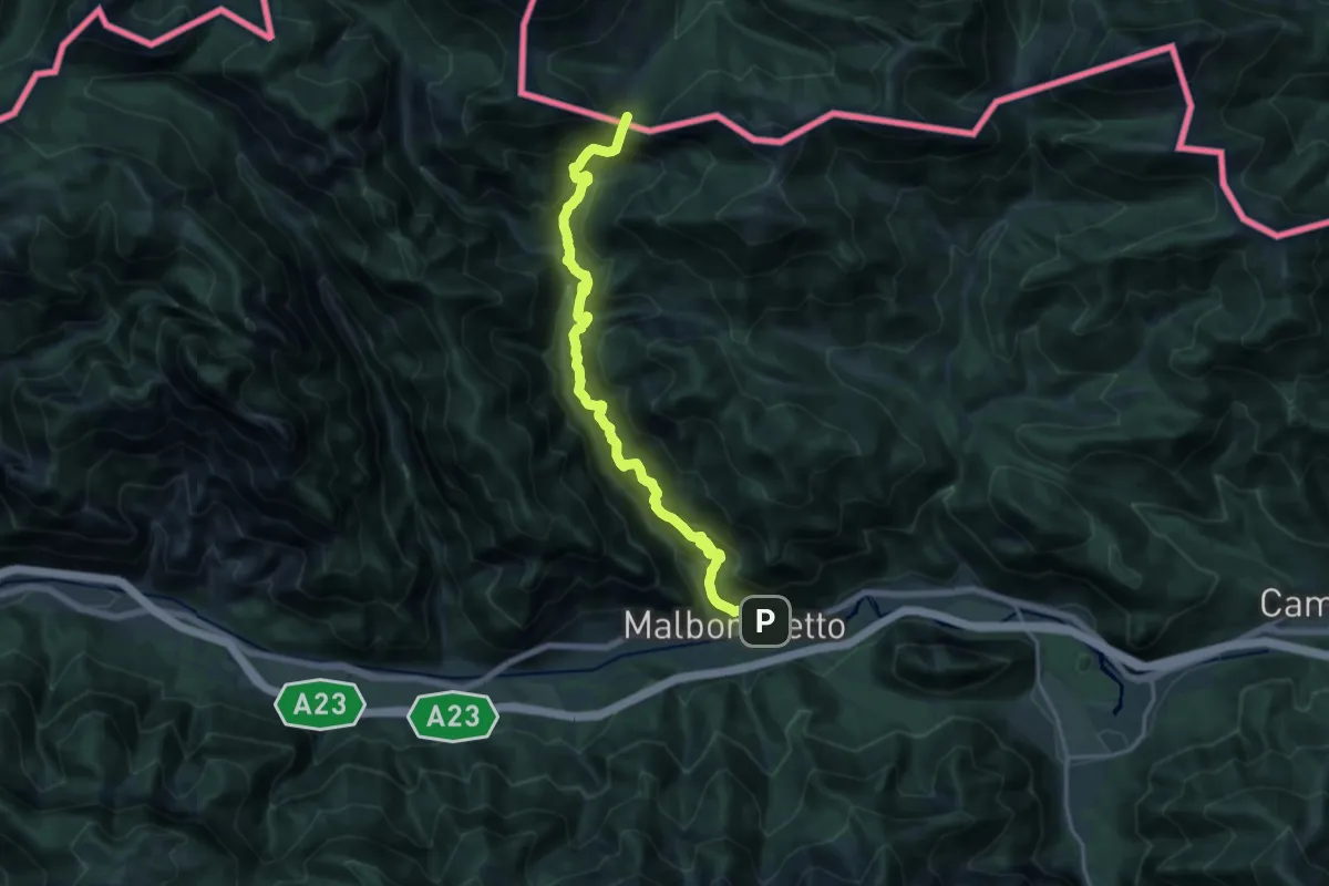
Demanding · Trail
Malborghetto (quota 728 m) – Sella della Caldiera (quota 1477 m)
17.5 km · ↑ 1481 m · 7 h 20 min · 14 km away
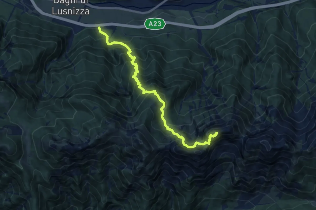
Demanding · Summit
Bagni di Lusnizza (quota 635 m) – Cima Alta Due Pizzi (quota 2046 m)
11.4 km · ↑ 1542 m · 6 h 1 min · 14 km away
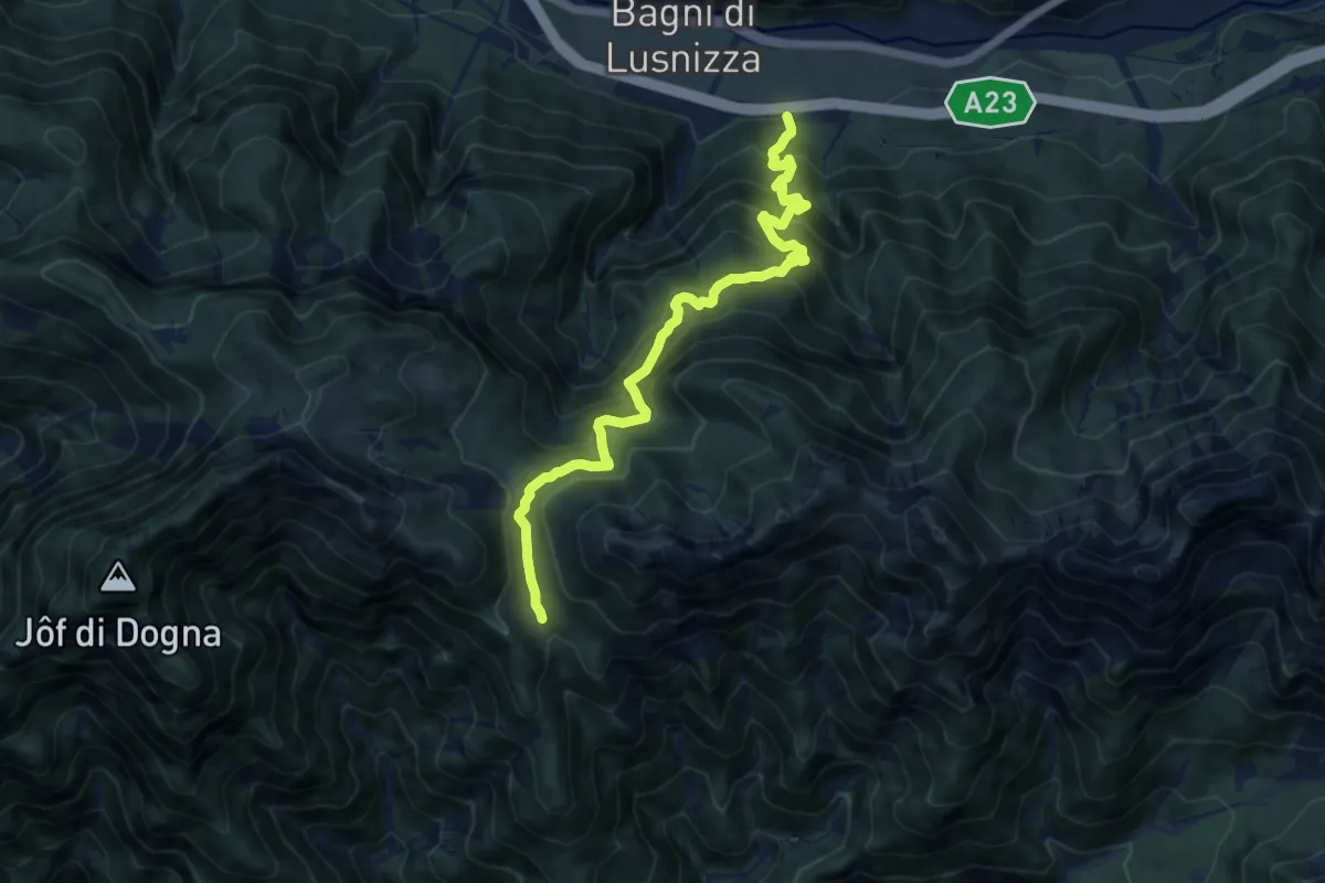
Demanding · Trail
Bagni di Lusnizza (quota 635 m) – Bivio sentiero n. 601 (quota 1351 m)
11.2 km · ↑ 1145 m · 5 h 8 min · 14 km away
Demanding · Cabin
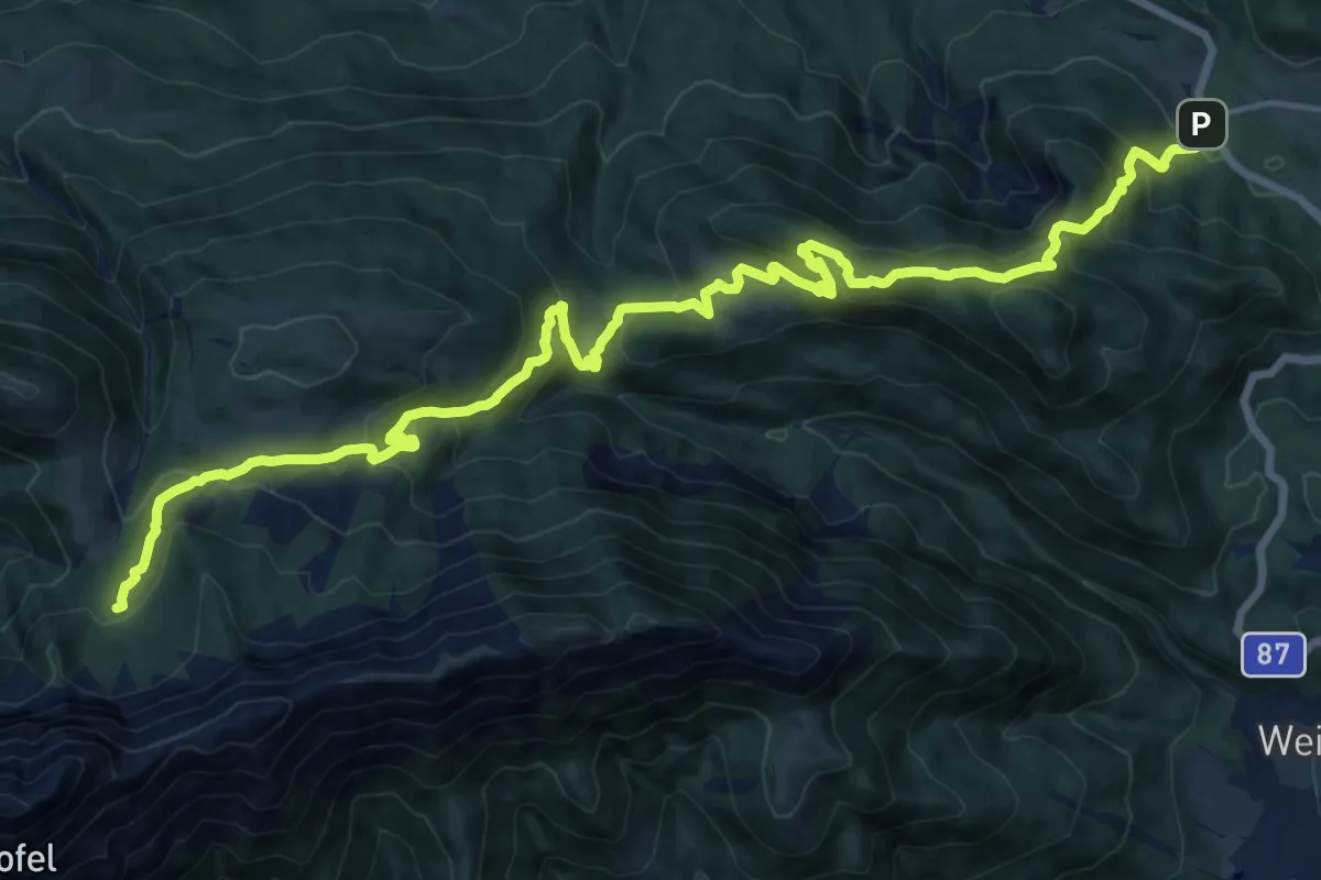
Wanderweg 239
21.1 km · ↑ 1105 m · 7 h 22 min · 14 km away
Medium · Cabin
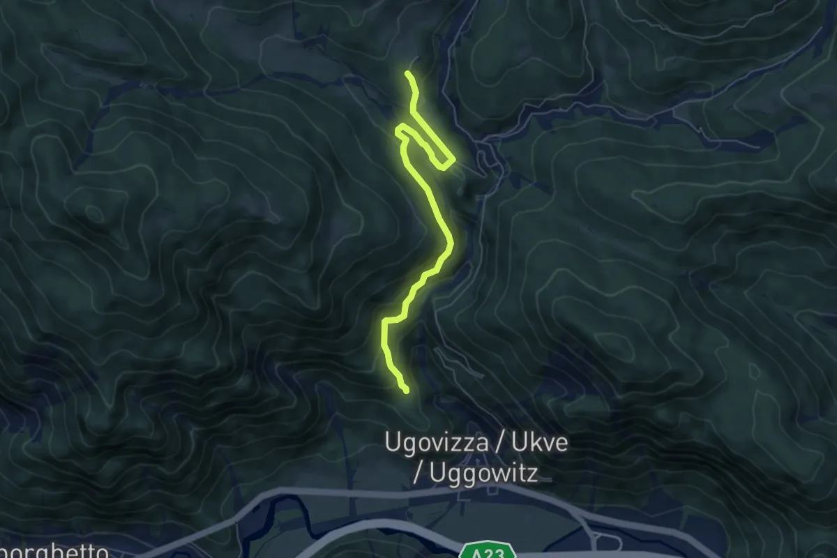
Puanina Tour (V1)
5.9 km · ↑ 408 m · 2 h 16 min · 14 km away
Medium · Trail
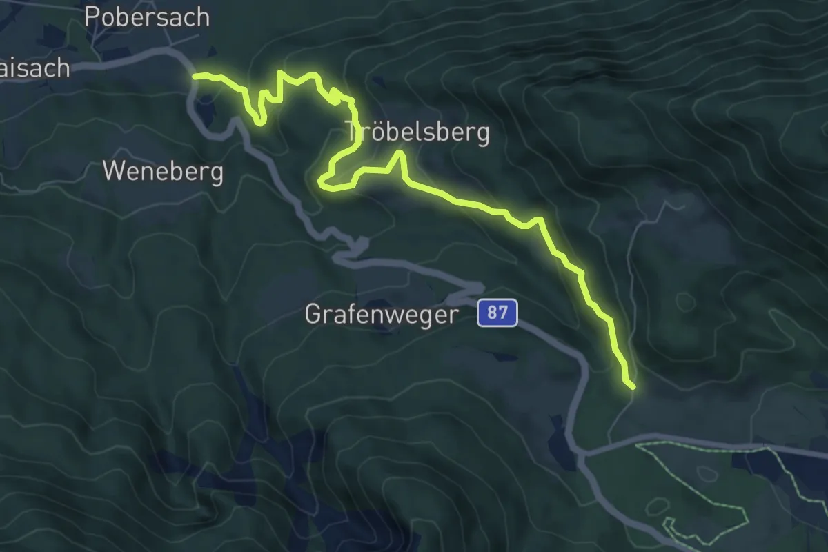
Pobersach – Kreuzberg
8.6 km · ↑ 341 m · 2 h 46 min · 15 km away
Demanding · Trail
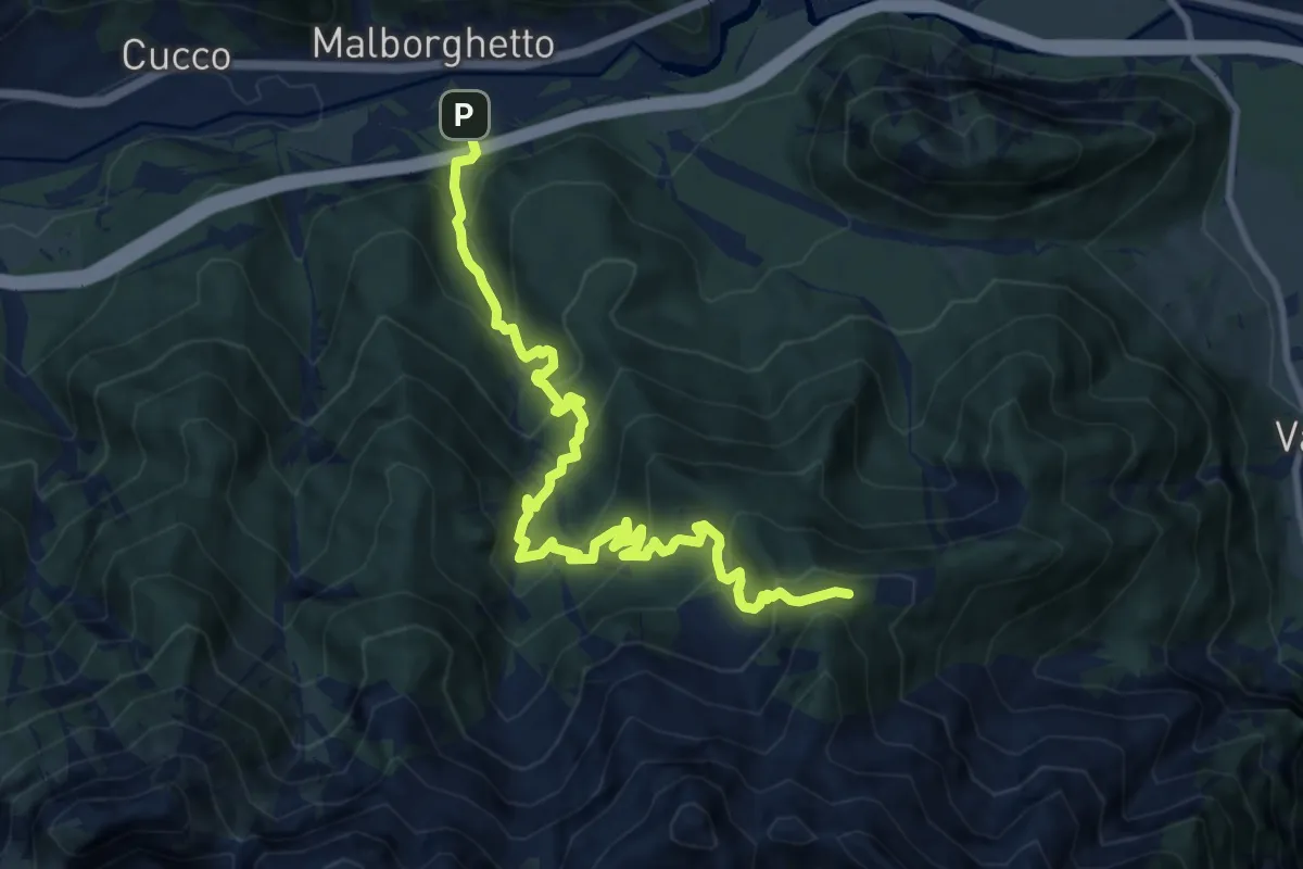
Malborghetto (quota 715 m) – Bivio sentiero n. 607 (quota 1600 m))
11.2 km · ↑ 1024 m · 4 h 51 min · 15 km away
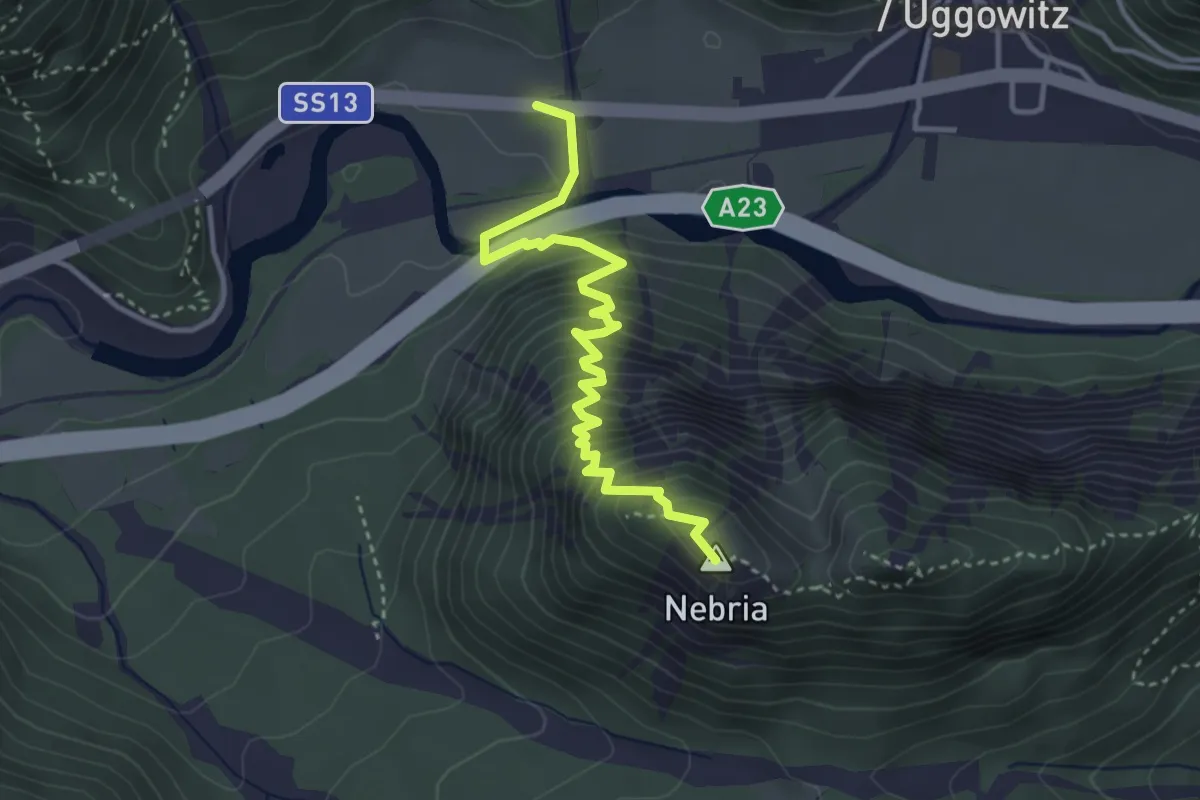
Demanding · Summit
Ugovizza (quota 770 m) – Valbruna (quota 810 m)
3.8 km · ↑ 421 m · 1 h 49 min · 15 km away
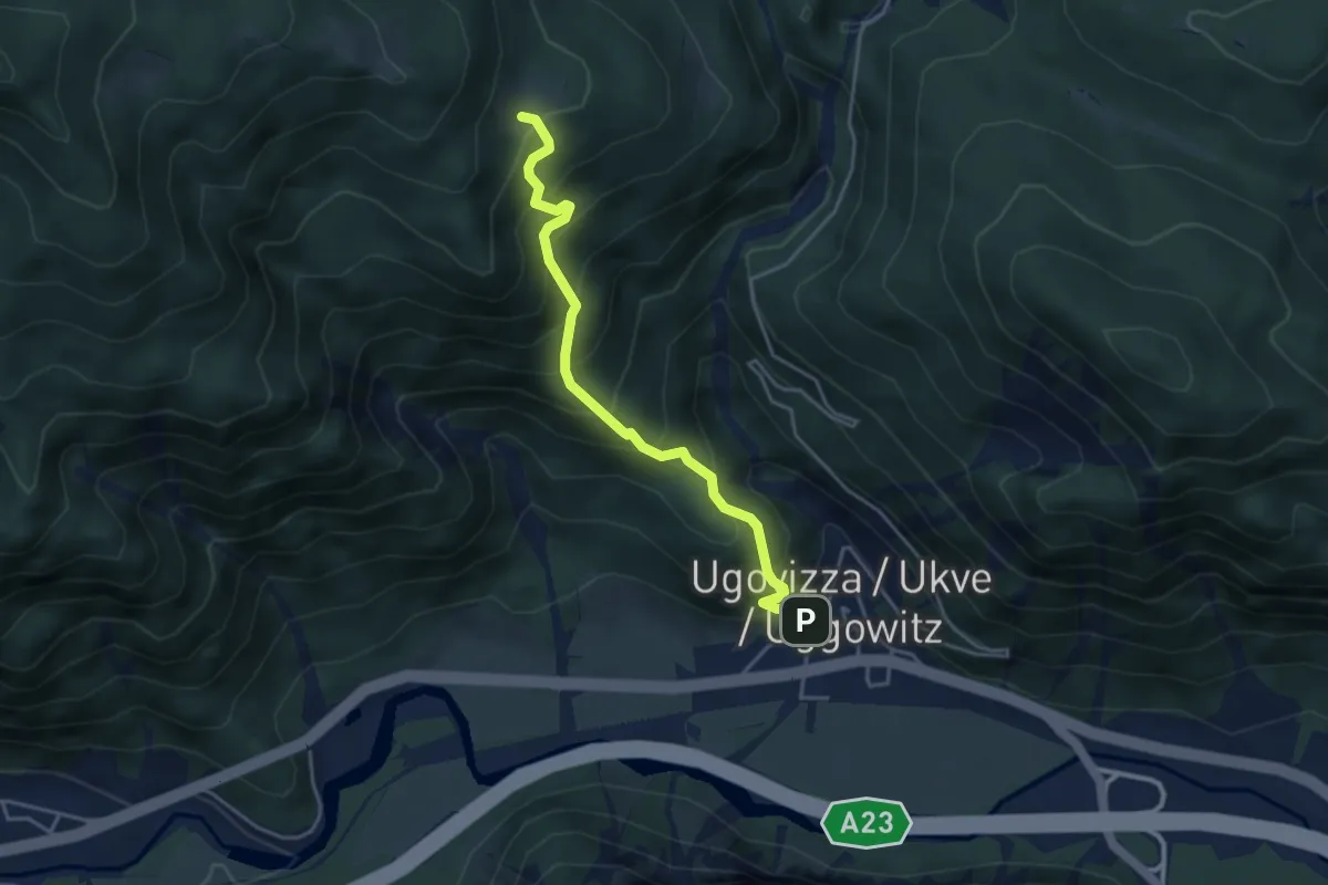
Medium · Cabin
Puanina Tour (T1)
4.0 km · ↑ 491 m · 2 h · 15 km away
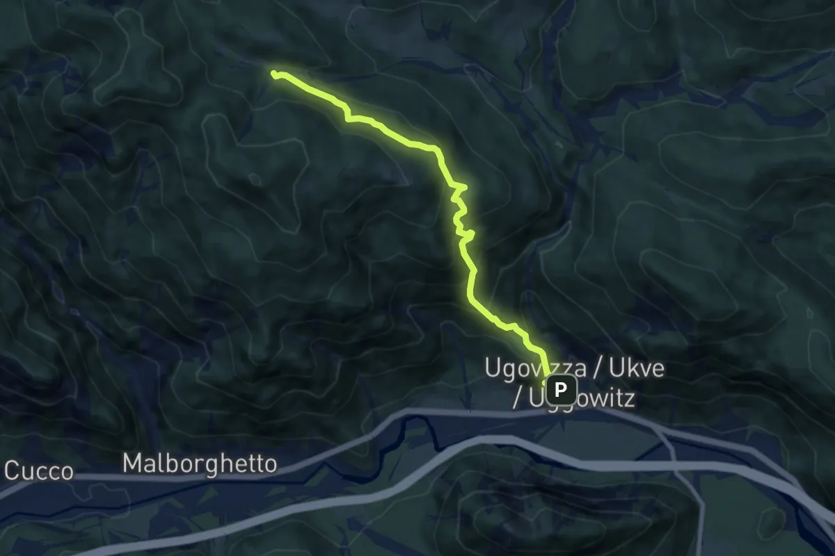
Demanding · Trail
Ugovizza (quota 770 m) – Bivio sentiero n.504 (quota 1285 m)
7.6 km · ↑ 694 m · 3 h 18 min · 15 km away