Trails in Austria
9,777 hiking trails, each with its route, climb, walking time and grade.
All trails, page 100 of 204
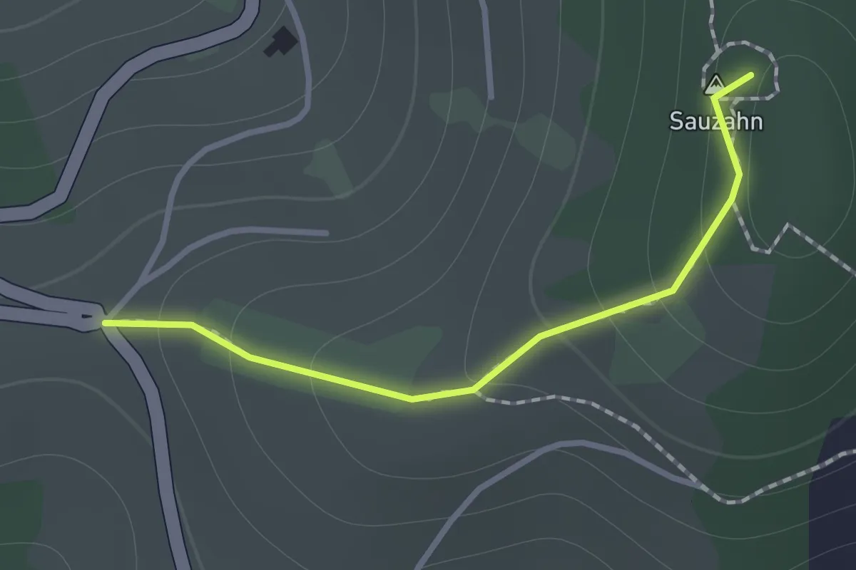
Easy · Summit
Sauzahn
1.0 km · ↑ 84 m · 25 min
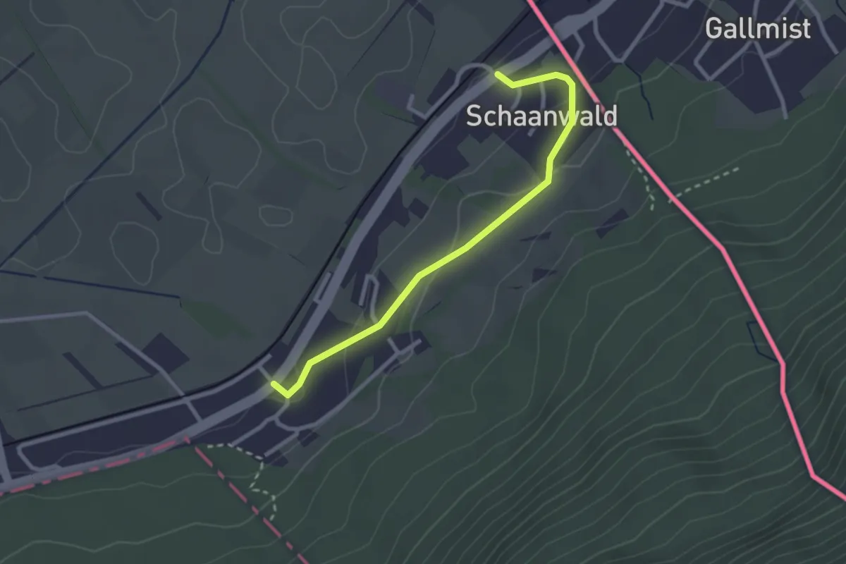
Easy · Trail
Schaanwald - Schaanwald Zoll
2.6 km · ↑ 86 m · 48 min
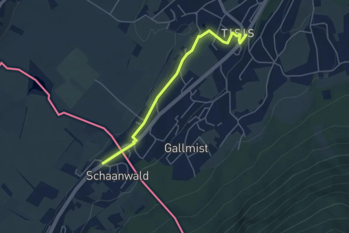
Easy · Trail
Schaanwald Zoll - Tisis (A)
3.6 km · ↑ 47 m · 57 min
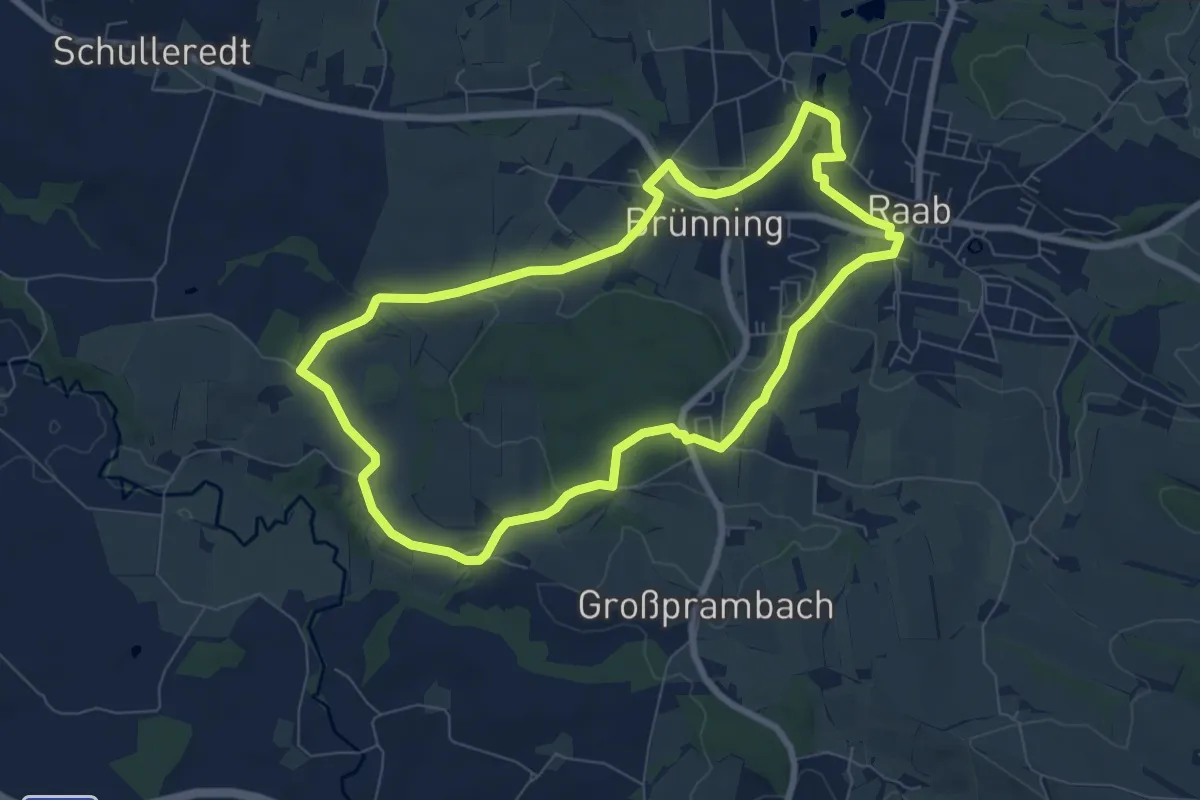
Easy · Trail
Schacherwaldweg
7.2 km · ↑ 109 m · 2 h 3 min
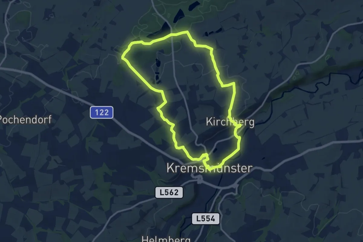
Medium · Trail
Schacherweg - Wanderweg 43
9.8 km · ↑ 167 m · 2 h 48 min
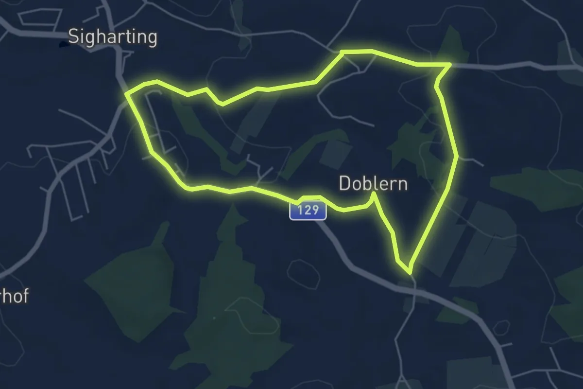
Easy · Trail
Schachlgadern-Höhenweg
4.8 km · ↑ 92 m · 1 h 24 min
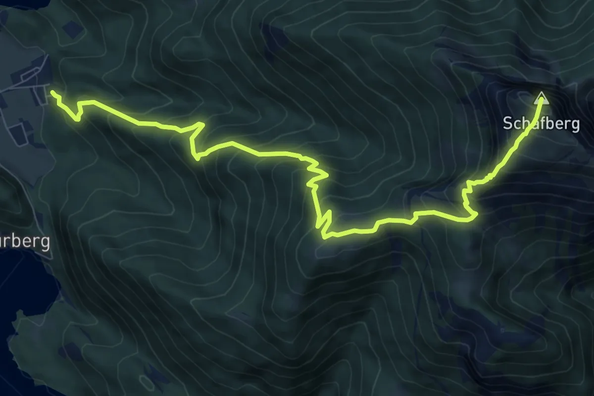
Demanding · Summit
Schafbergsteig
10.9 km · ↑ 1234 m · 5 h 15 min
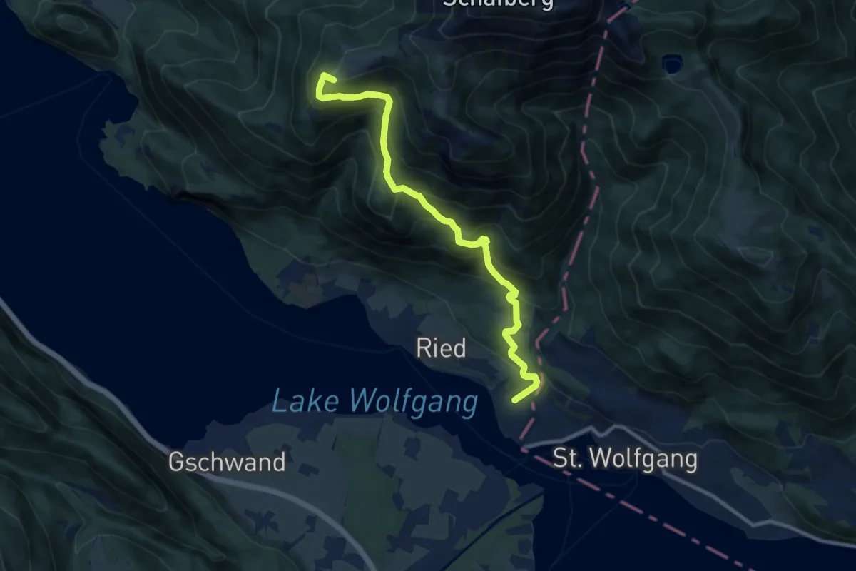
Medium · Summit
Schafbergweg
9.5 km · ↑ 766 m · 3 h 54 min
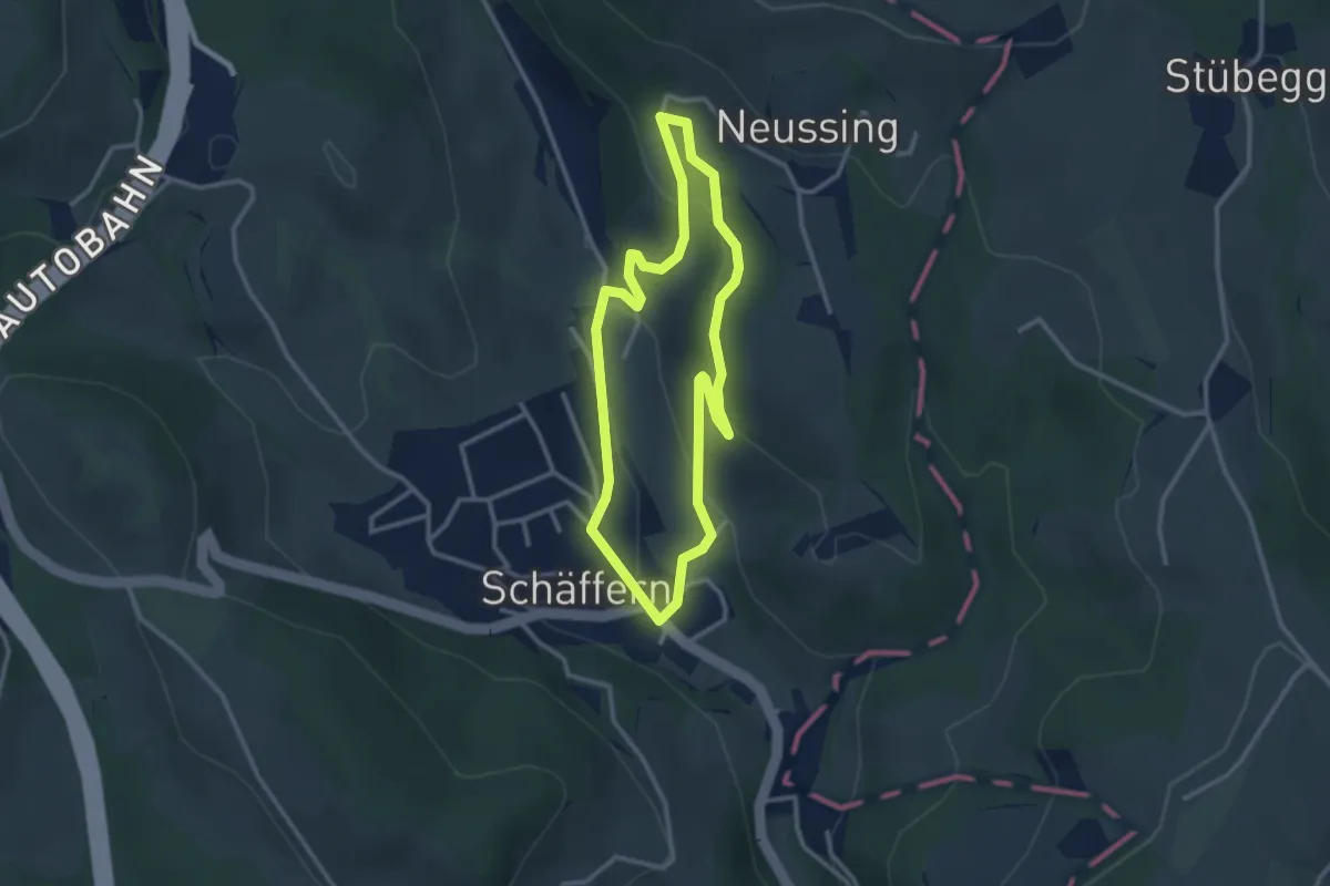
Easy · Trail
Schäffern - Neussing Rundwanderweg
2.7 km · ↑ 102 m · 54 min
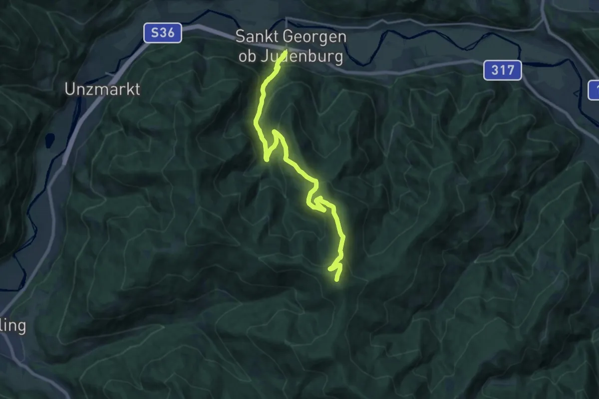
Demanding · Summit
Schafkogel
18.0 km · ↑ 992 m · 6 h 24 min
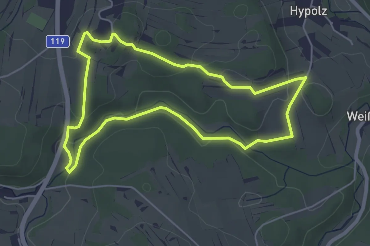
Easy · Trail
Schafsteg 1
4.0 km · ↑ 75 m · 1 h 10 min
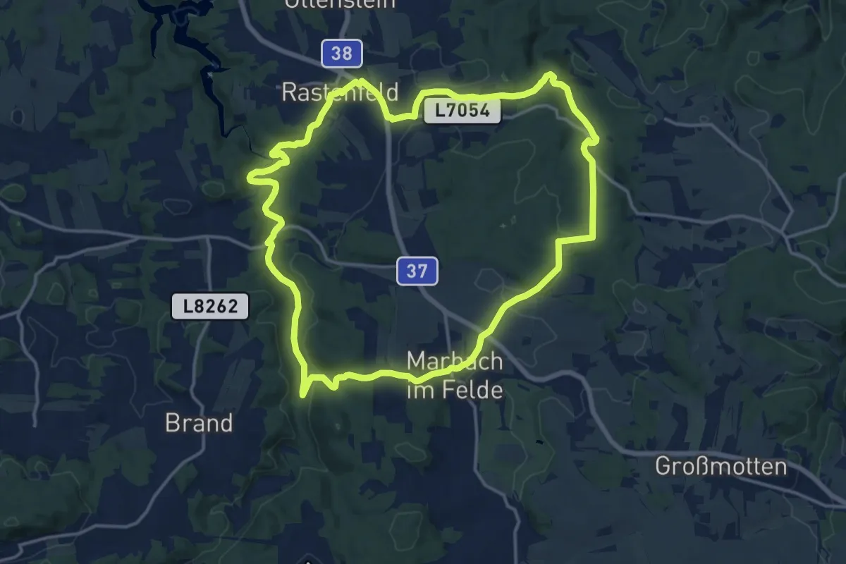
Medium · Trail
Schafweidestreit 81
14.4 km · ↑ 282 m · 4 h 13 min
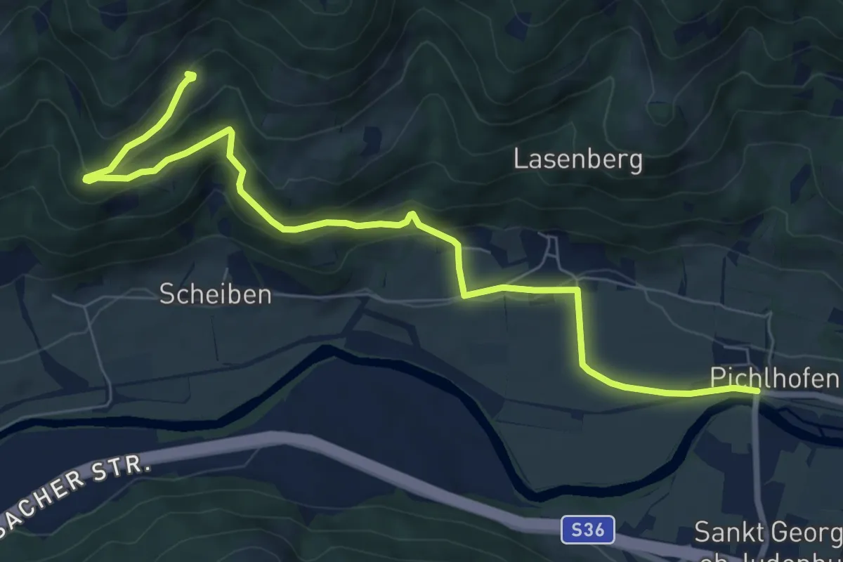
Medium · Trail
Schalensteinweg
8.6 km · ↑ 332 m · 2 h 45 min
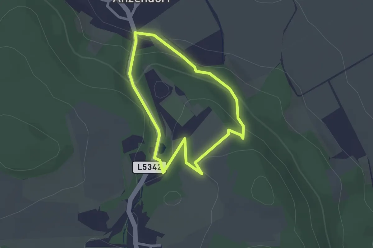
Easy · Trail
Schallaburg Rundweg 1
1.7 km · ↑ 84 m · 37 min
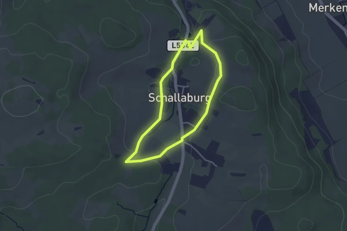
Easy · Trail
Schallaburg Rundweg 2
2.5 km · ↑ 38 m · 42 min
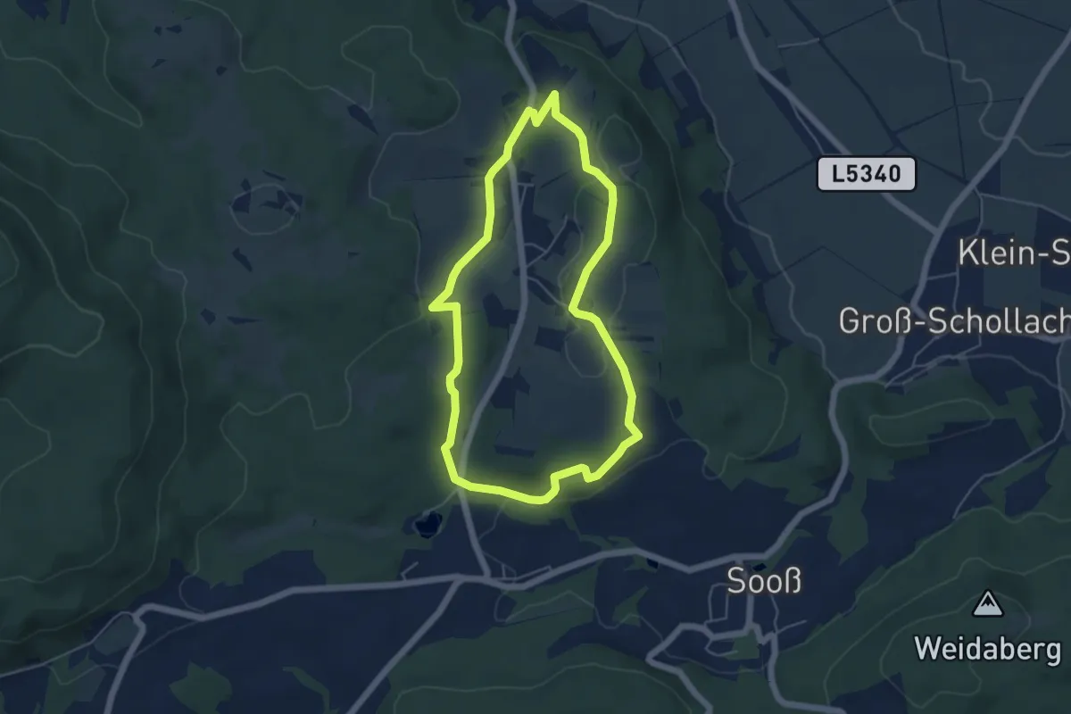
Easy · Trail
Schallaburg Rundweg 3
4.7 km · ↑ 110 m · 1 h 25 min
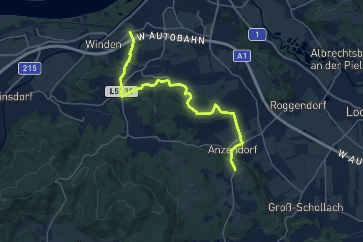
Medium · Trail
Schallaburgweg
14.9 km · ↑ 400 m · 4 h 22 min
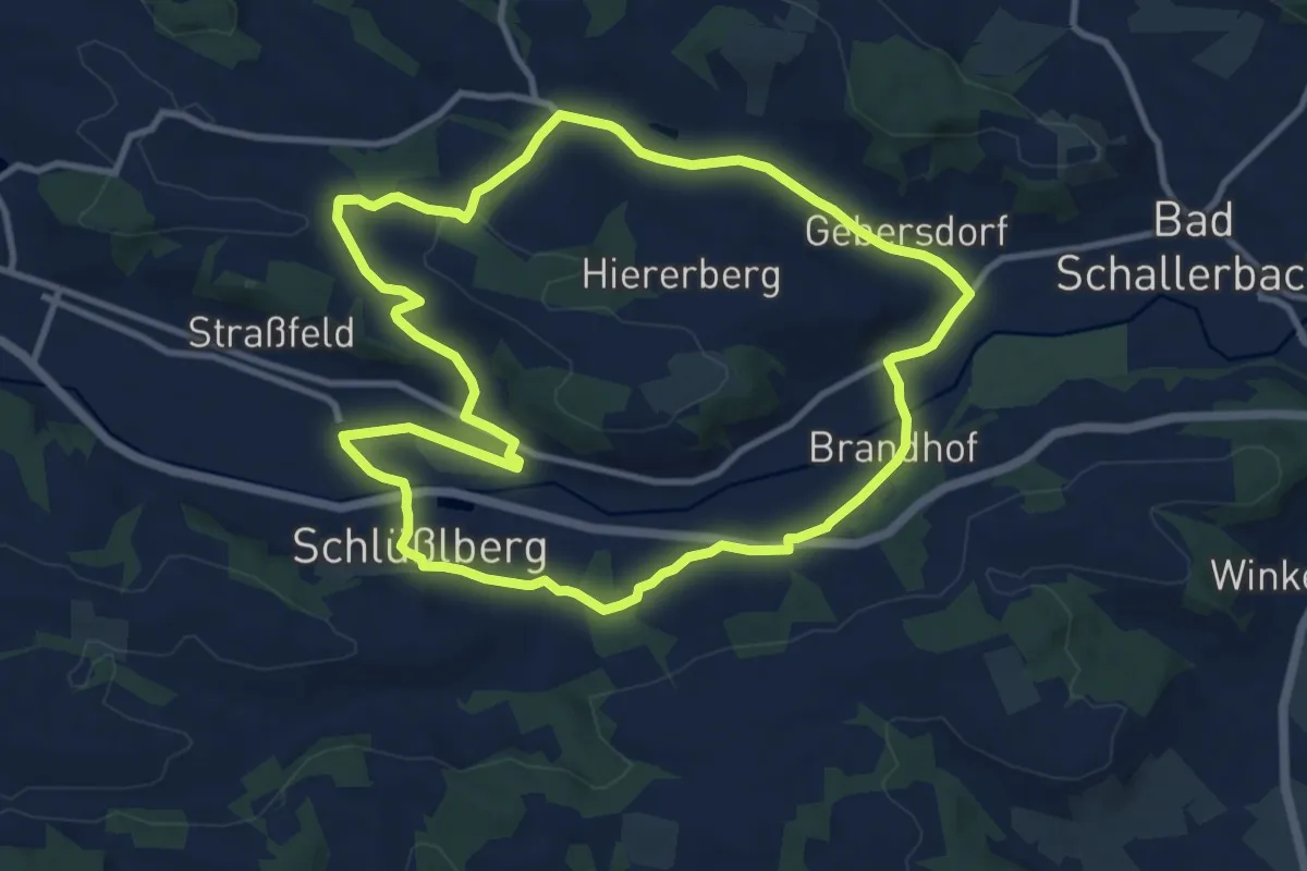
Medium · Trail
Schallerbach-Runde
10.3 km · ↑ 130 m · 2 h 51 min
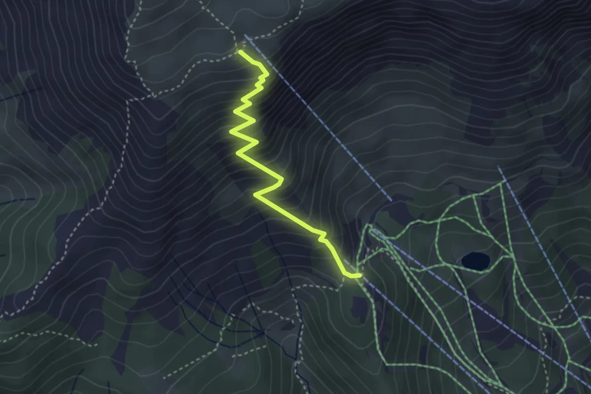
Medium · Cabin
Schallergraben - Graf Meran-Haus
3.2 km · ↑ 417 m · 1 h 40 min
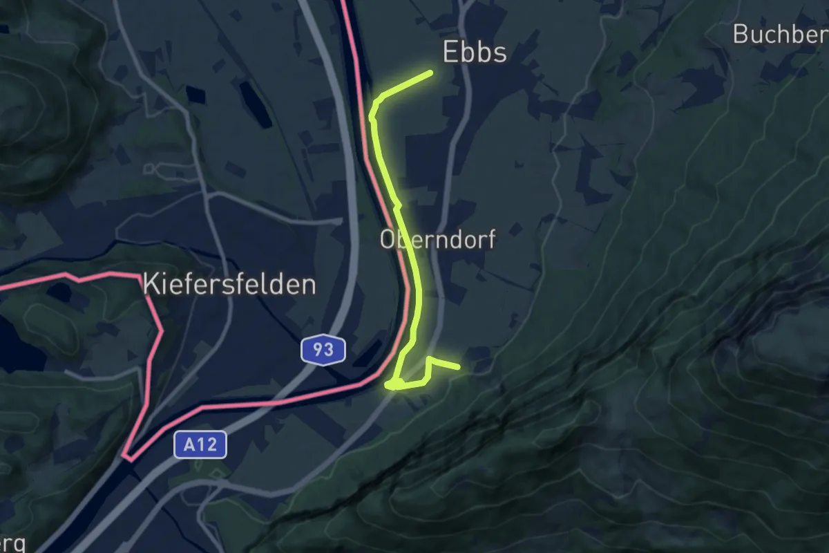
Easy · Trail
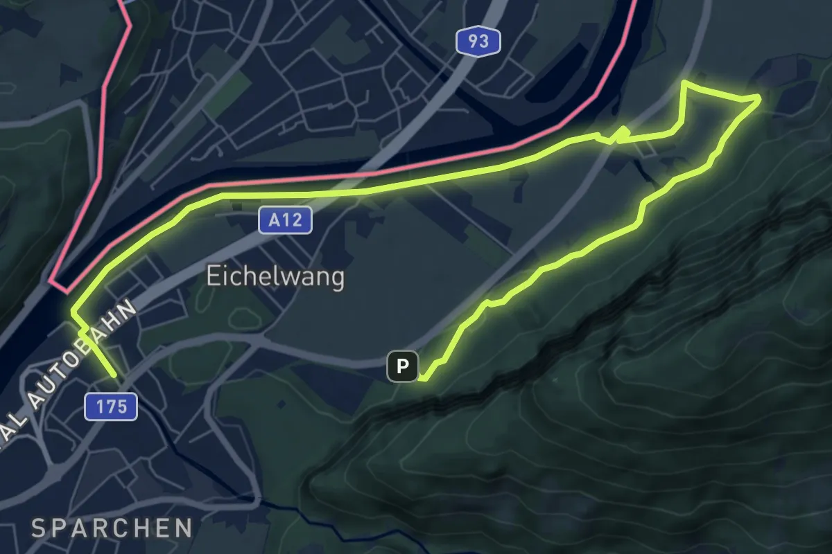
Schanzer-Runde
3.8 km · ↑ 8 m · 58 min
Easy · Trail
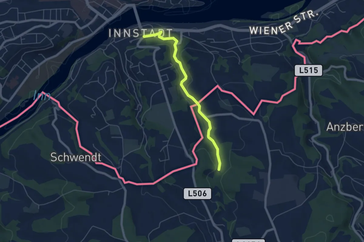
Schanzer-Runde
5.4 km · ↑ 4 m · 1 h 22 min
Easy · Trail
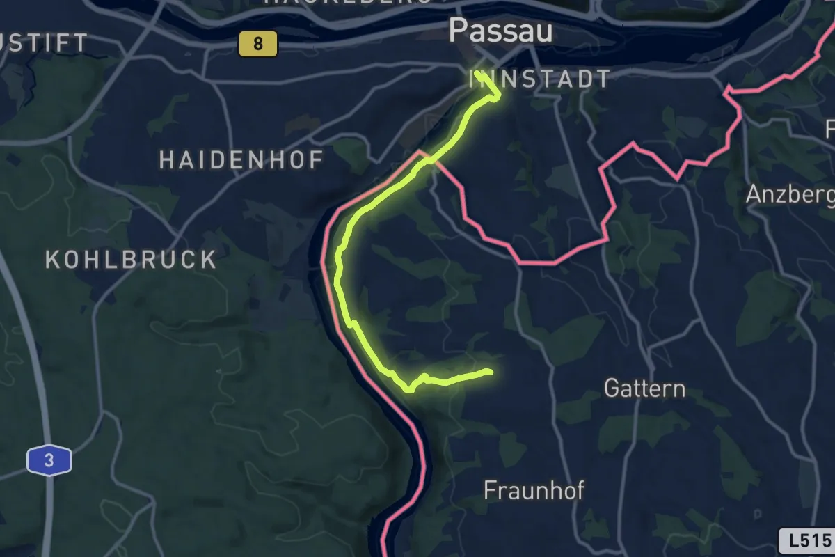
Schardenberg - Passau
4.7 km · ↑ 86 m · 1 h 18 min
Medium · Trail
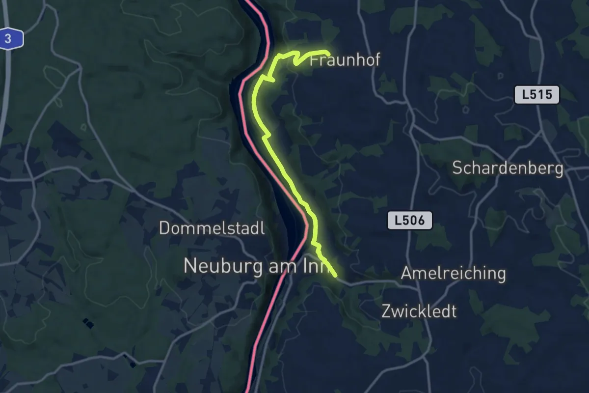
Schardenberg - Passau
10.7 km · ↑ 185 m · 2 h 56 min
Easy · Trail
Schärdinger Hütte - Fronholzwarte
4.9 km · ↑ 179 m · 1 h 33 min
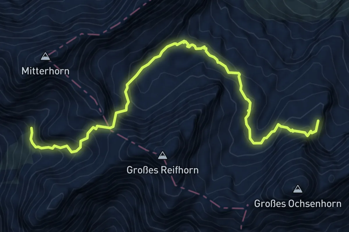
Expert · Summit
Schärdinger Steig
9.6 km · ↑ 1122 m · 4 h 42 min
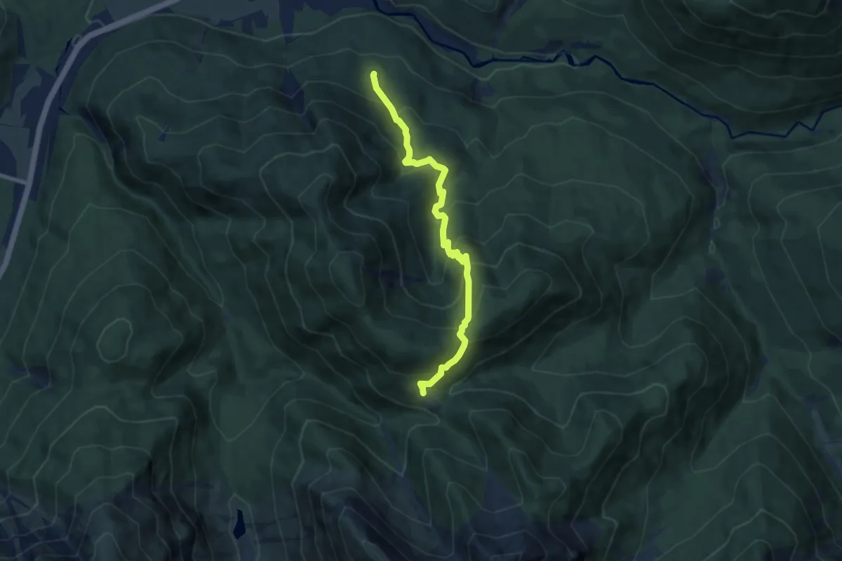
Medium · Trail
Scharnitz - Kreidengraben - Oberbrunn-Alm
7.6 km · ↑ 650 m · 3 h 12 min
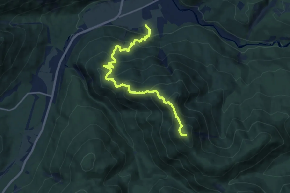
Demanding · Summit
Scharnitz - Mühlberg - Oberbrunn-Alm
9.9 km · ↑ 821 m · 4 h 6 min
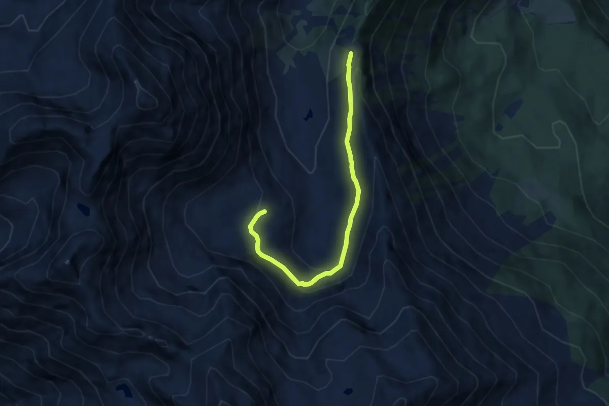
Expert · Cabin
Scharte - Frischmannhütte
6.7 km · ↑ 135 m · 1 h 53 min
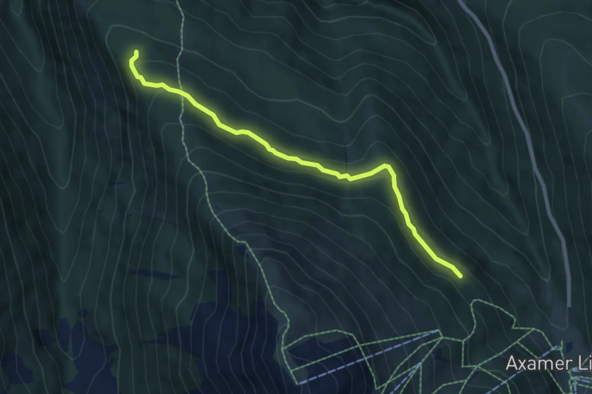
Medium · Trail
Schartensteig
5.8 km · ↑ 203 m · 1 h 49 min
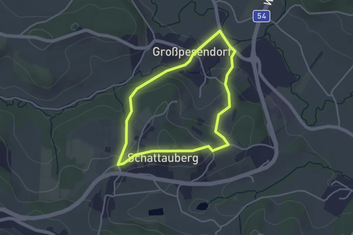
Easy · Trail
Schattauberg Rundwanderweg
2.8 km · ↑ 86 m · 53 min
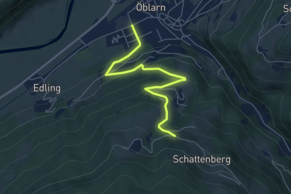
Easy · Trail
Schattenbergweg
5.0 km · ↑ 255 m · 1 h 44 min
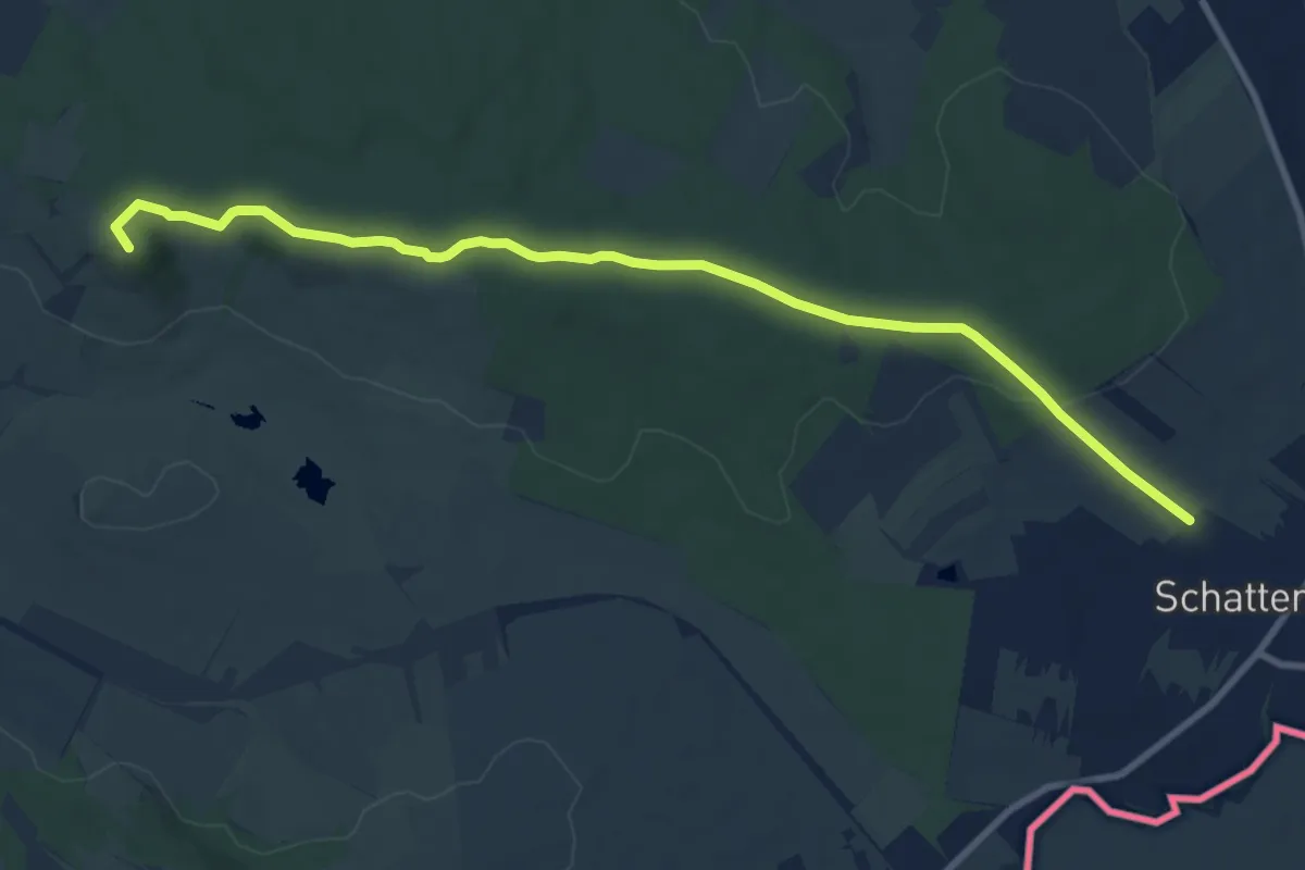
Medium · Summit
Schattendorf - Kogel (Nordic Walking)
10.0 km · ↑ 158 m · 2 h 42 min
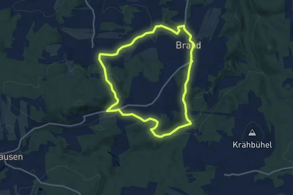
Easy · Trail
Schatzbichlweg-Salieraweg 72
7.4 km · ↑ 212 m · 2 h 19 min
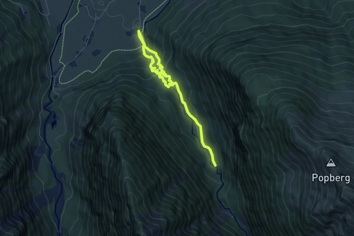
Medium · Trail
Schaubergwerk Hochfeld am Knappenweg Untersulzbachtal
7.3 km · ↑ 538 m · 2 h 53 min
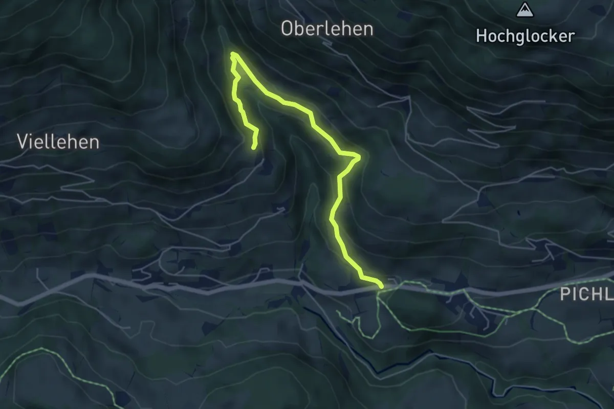
Easy · Trail
Schaubergwerk Sunnpau
5.3 km · ↑ 255 m · 1 h 48 min
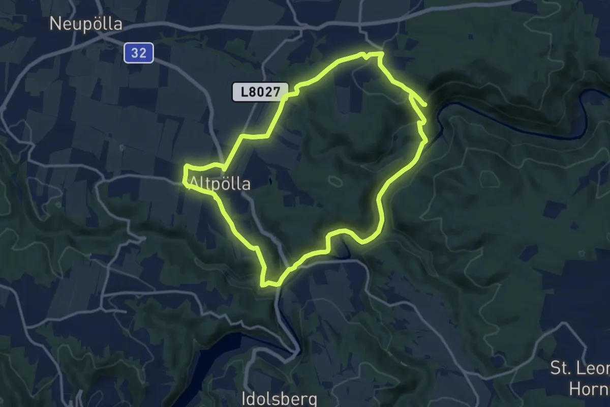
Medium · Trail
Schauensteinweg 52
11.3 km · ↑ 267 m · 3 h 24 min
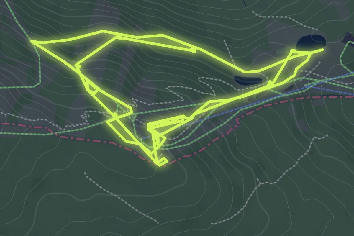
Easy · Trail
Schaukelweg
5.2 km · ↑ 320 m · 1 h 59 min
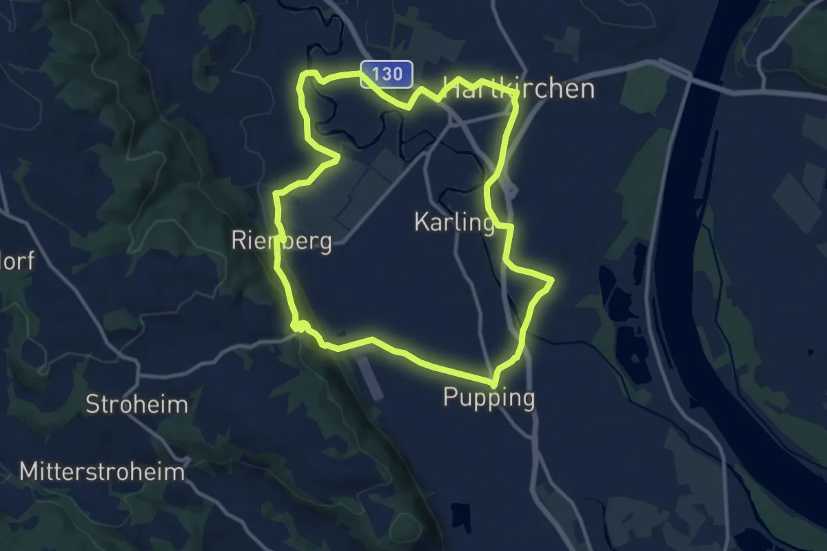
Medium · Trail
Schaunberg Runde
10.6 km · ↑ 136 m · 2 h 57 min
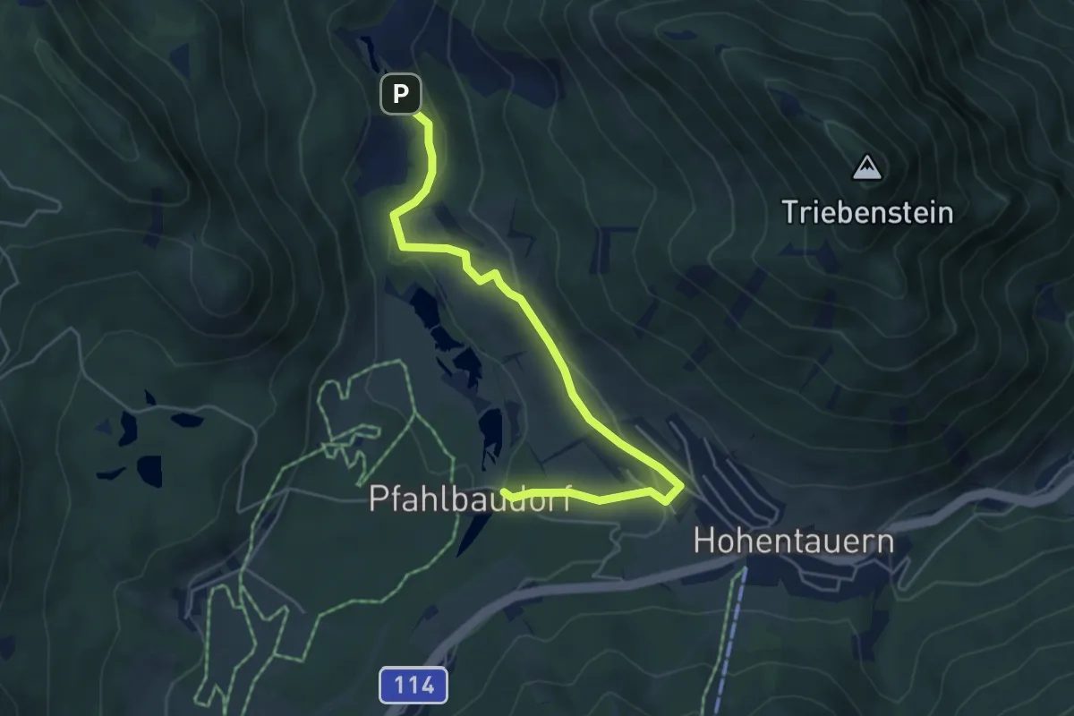
Easy · Trail
Schauplätze
5.2 km · ↑ 174 m · 1 h 37 min
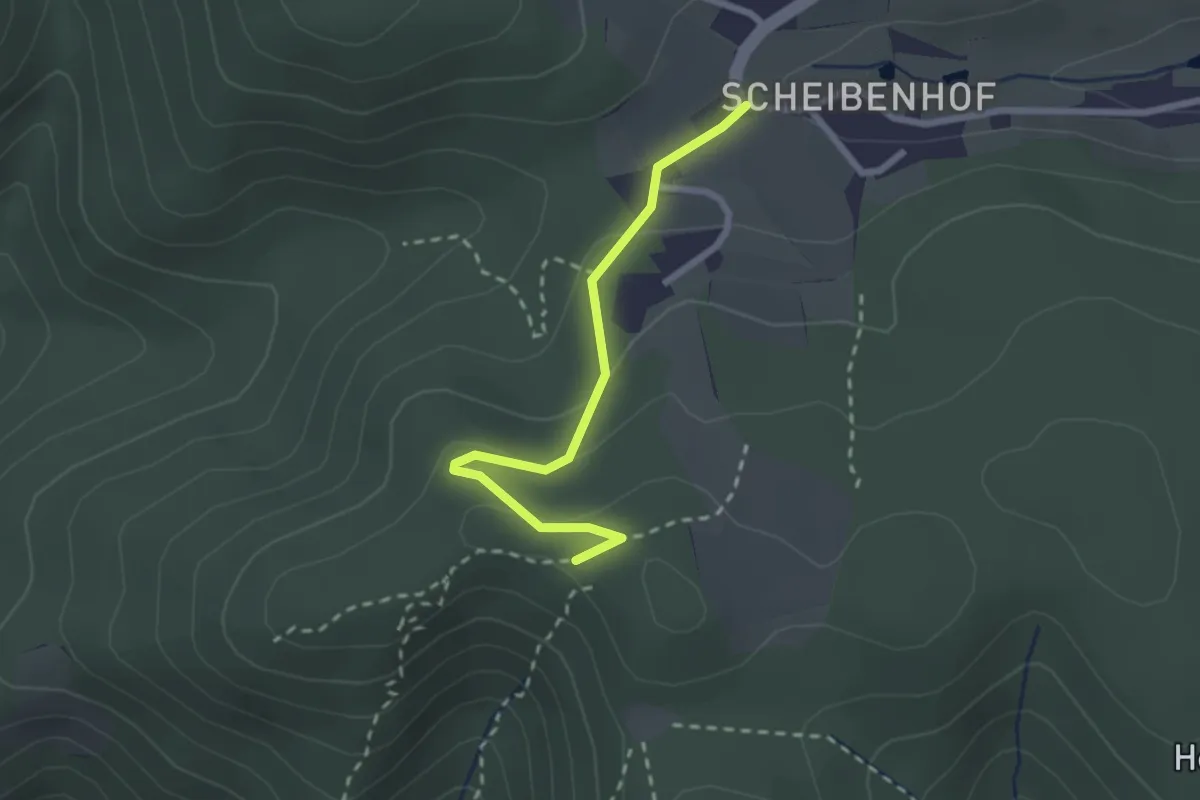
Easy · Trail
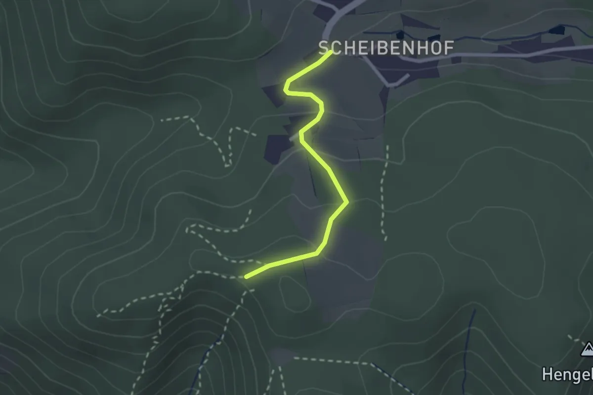
Scheibenhof-Dürnstein über Starhembergwarte (grün)
2.2 km · ↑ 76 m · 41 min
Easy · Trail
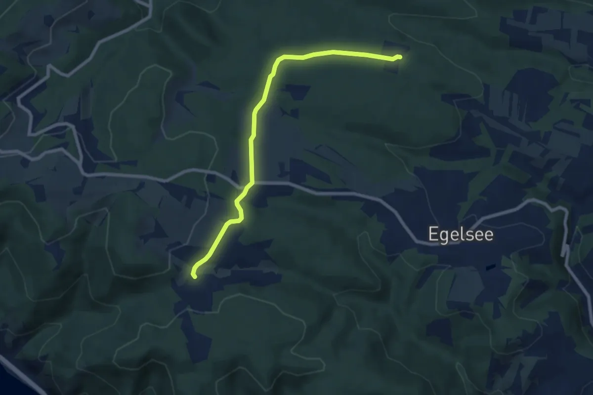
Scheibenhof-Dürnstein über Vogelbergsteig (rot)
2.0 km · ↑ 76 m · 39 min
Easy · Trail
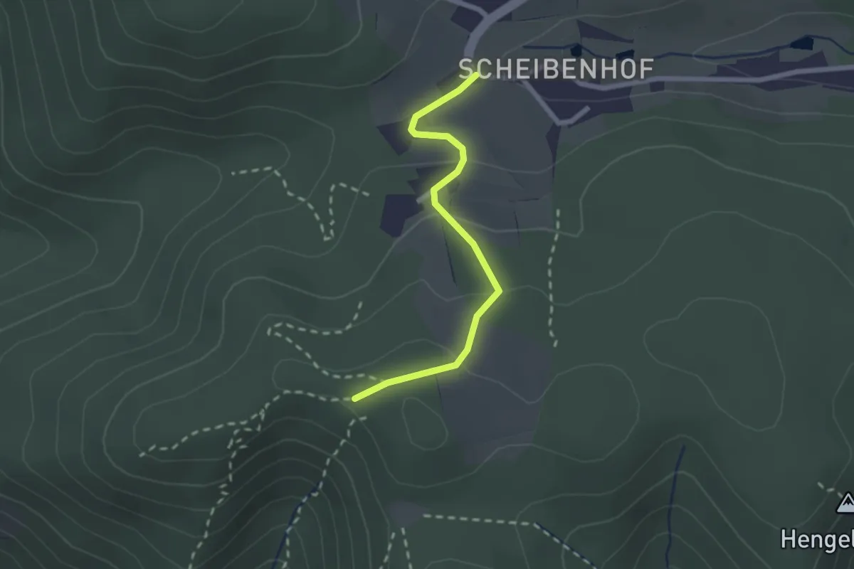
Scheibenhof - Forstgut Waldhof
6.6 km · ↑ 112 m · 1 h 48 min
Easy · Trail
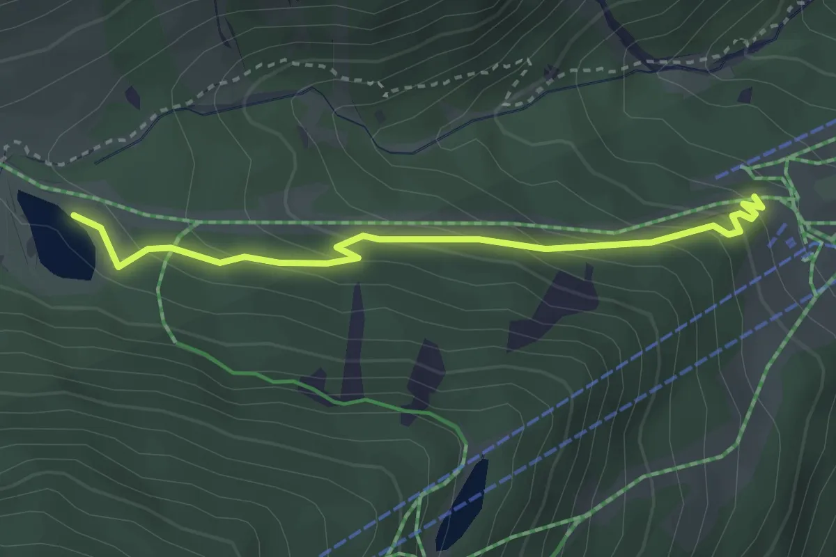
Scheibenhof-Unterloiben über Fesslhütte (rot)
2.0 km · ↑ 76 m · 39 min
Easy · Trail
Scheibenweg
3.1 km · ↑ 197 m · 1 h 10 min
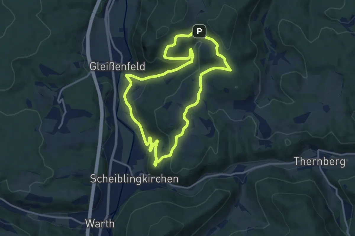
Medium · Trail
Scheiblingkirchen: Erzherzog Johann "Der Aussichtsreiche"
8.8 km · ↑ 284 m · 2 h 49 min
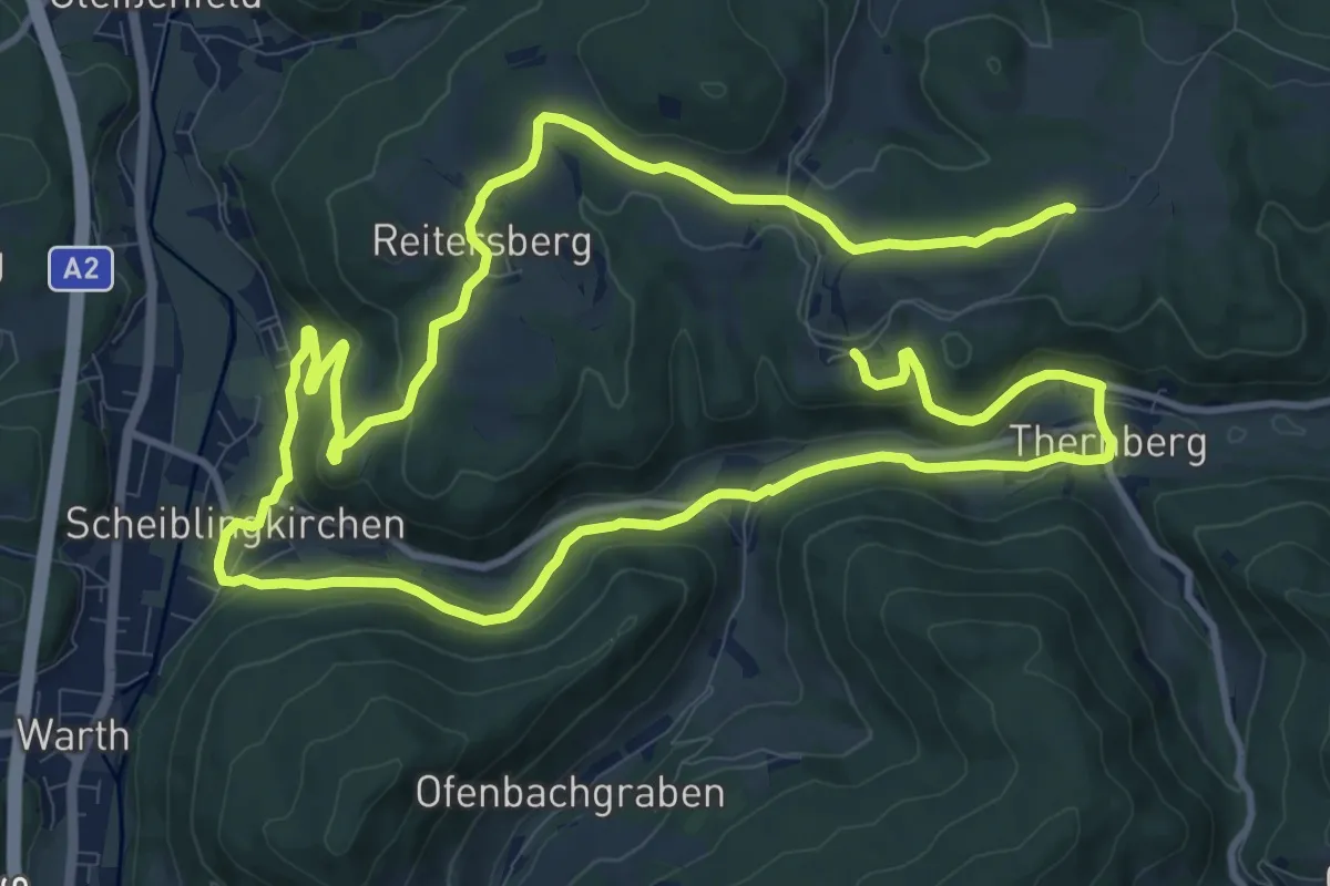
Demanding · Trail
Scheiblingkirchen: Erzherzog Johann "Der Gesellige"
21.8 km · ↑ 433 m · 6 h 5 min
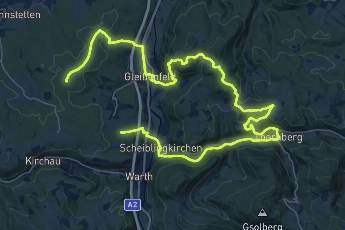
Demanding · Summit
Scheiblingkirchen: Erzherzog Johann-Rundwanderweg
35.7 km · ↑ 997 m · 10 h 36 min
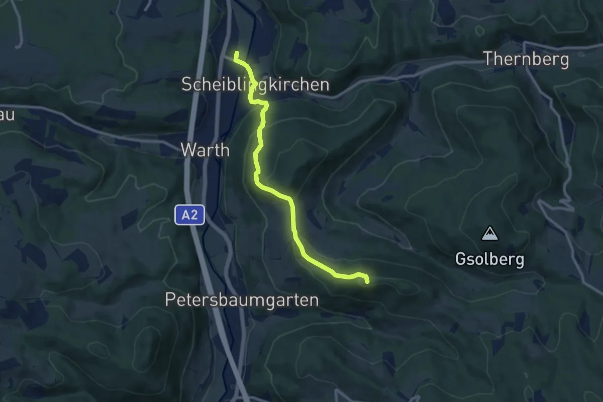
Medium · Summit
Scheiblingkirchen - Kaltenberg
7.9 km · ↑ 367 m · 2 h 39 min