Trails in Austria
9,779 hiking trails, each with its route, climb, walking time and grade.
All trails, page 99 of 204
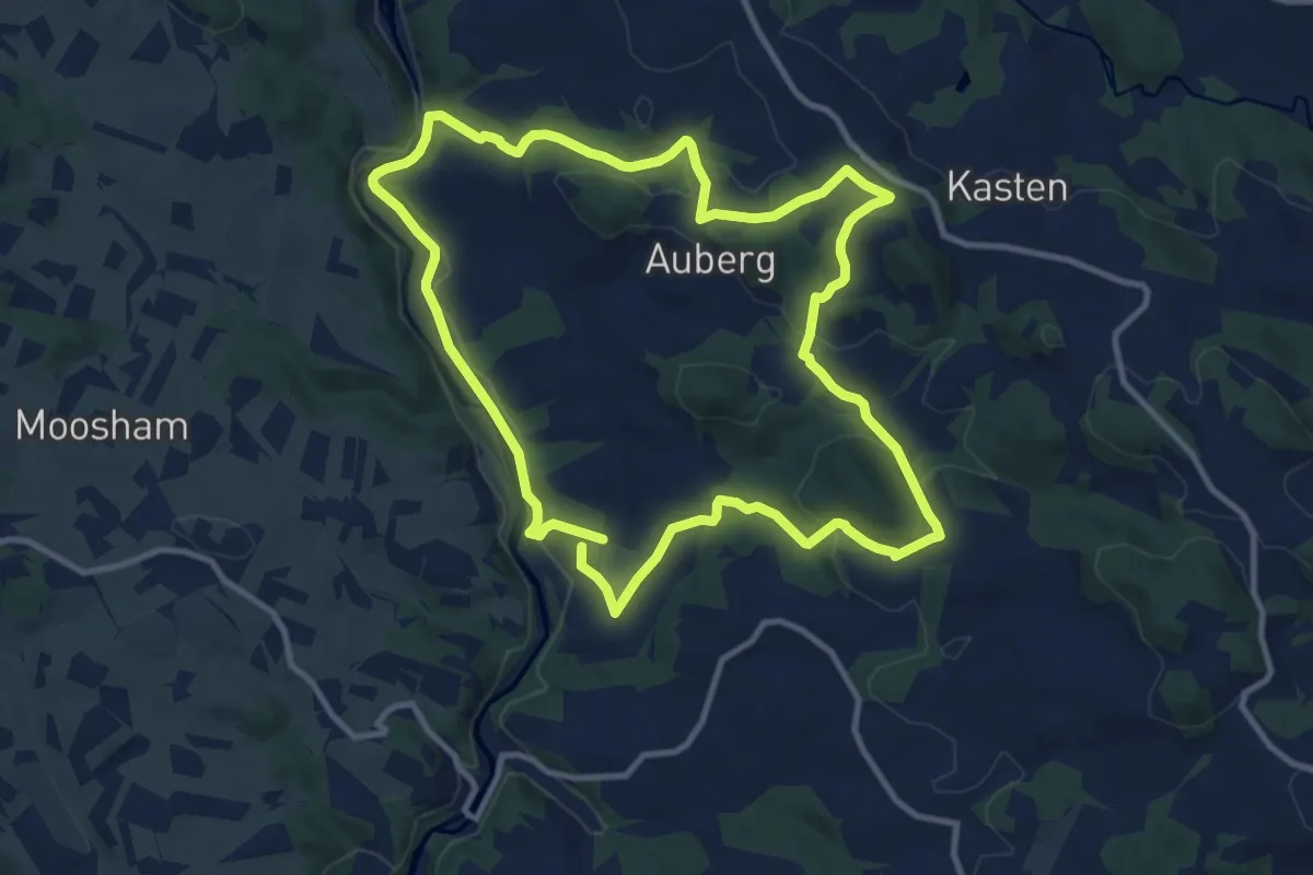
Medium · Trail
Sagen- und Mythenwanderweg
10.5 km · ↑ 319 m · 3 h 18 min
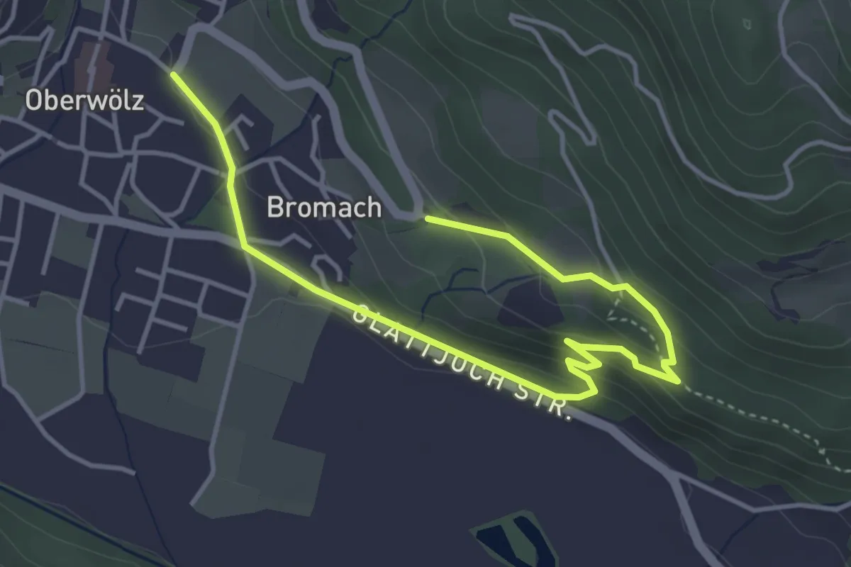
Easy · Trail
Sagenweg
2.4 km · ↑ 125 m · 51 min
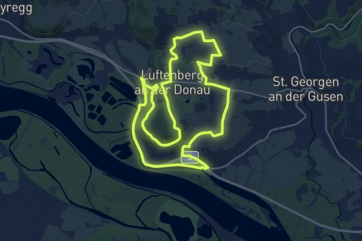
Medium · Trail
Sagenweg
12.7 km · ↑ 213 m · 3 h 39 min
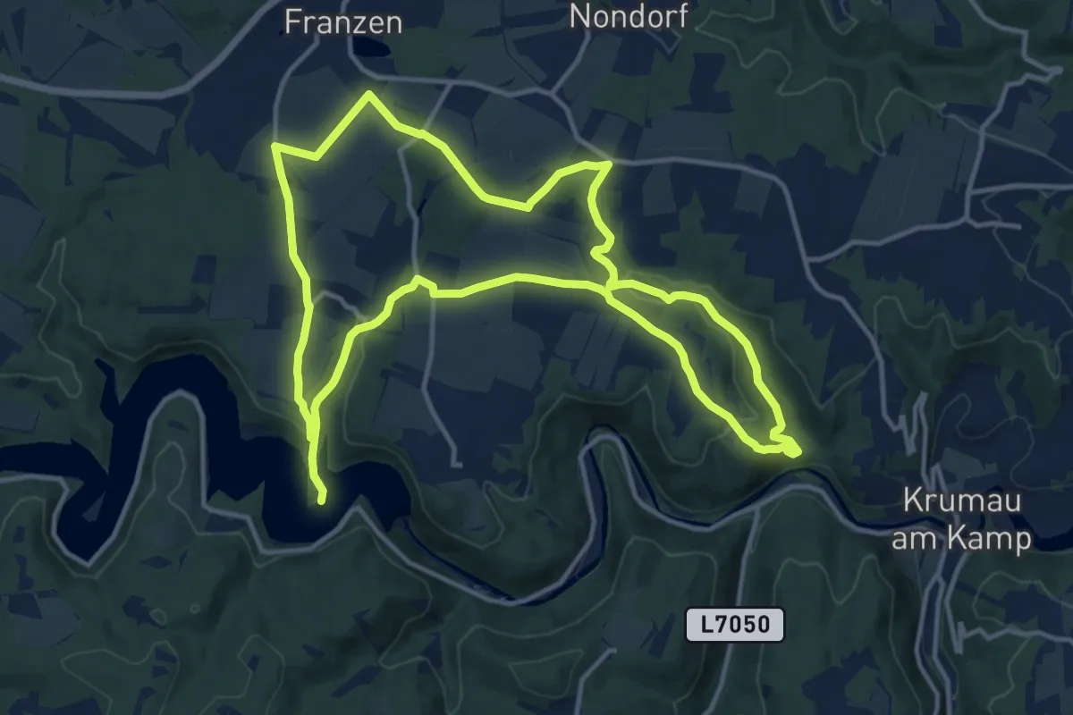
Demanding · Trail
Sagenweg
25.0 km · ↑ 498 m · 6 h 59 min
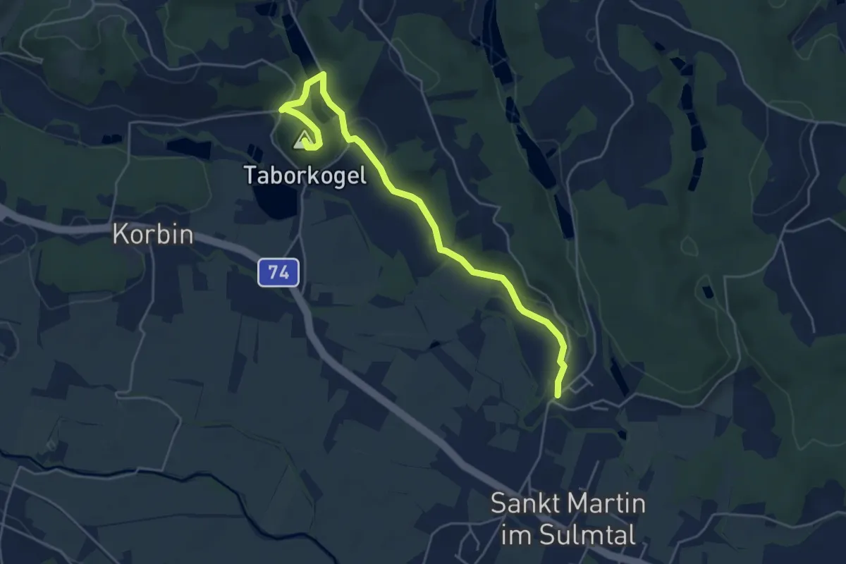
Easy · Summit
Sagenweg St. Martin
5.2 km · ↑ 63 m · 1 h 22 min
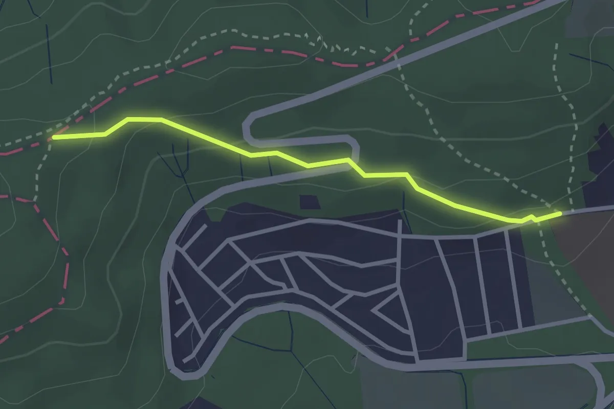
Easy · Trail
Salmannsdorf - Hameau Ost
2.4 km · ↑ 83 m · 45 min
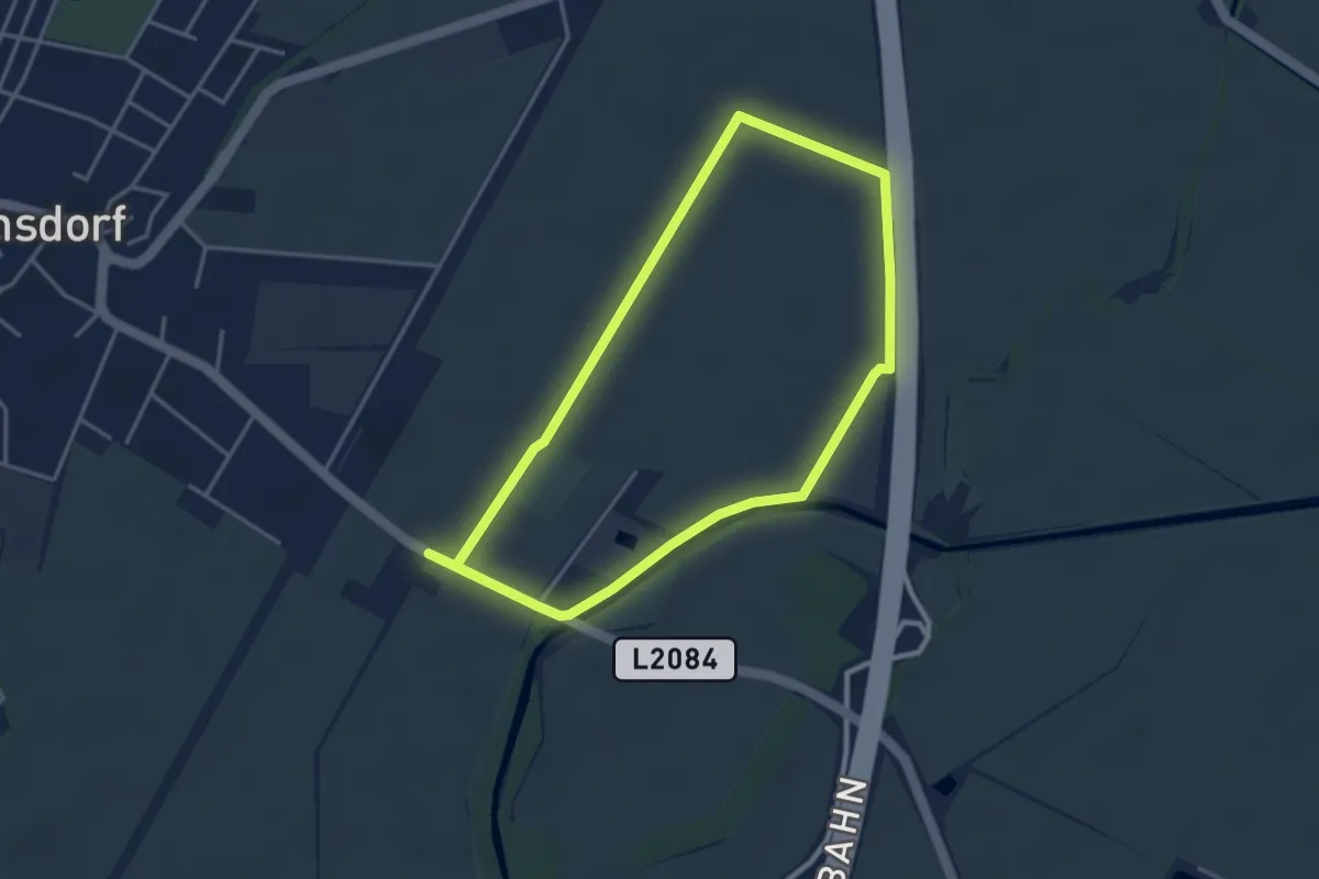
Easy · Trail
Salomon Runde (Guntramsdorf)
7.2 km · ↑ 9 m · 1 h 42 min
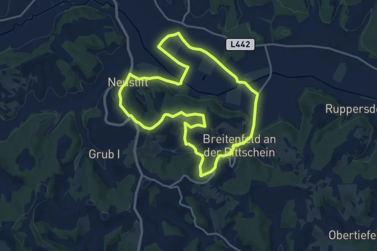
Medium · Trail
Salvator Mundi-Rundweg
10.4 km · ↑ 178 m · 2 h 59 min
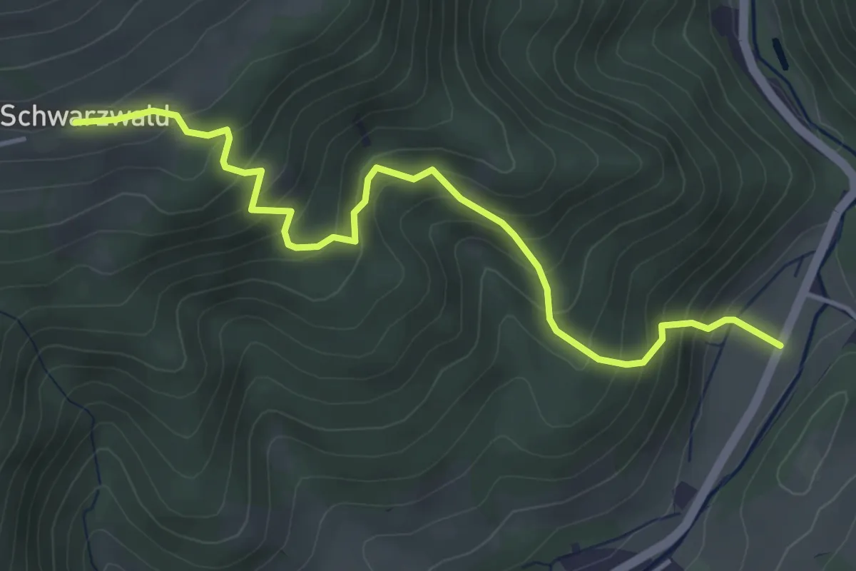
Medium · Trail
Salzabad (L133) - Schwarzwald
4.4 km · ↑ 405 m · 1 h 55 min
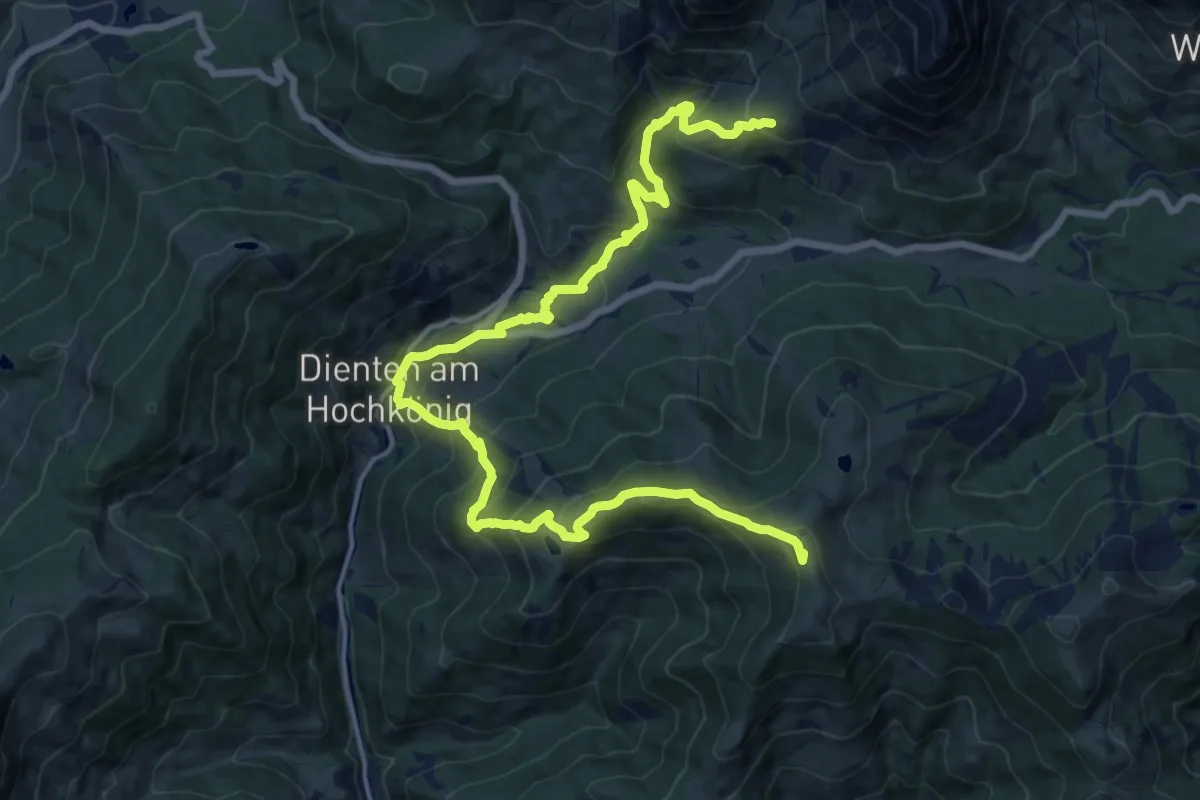
Demanding · Summit
Salzburger Almenweg (Alternative)
20.1 km · ↑ 1421 m · 7 h 49 min
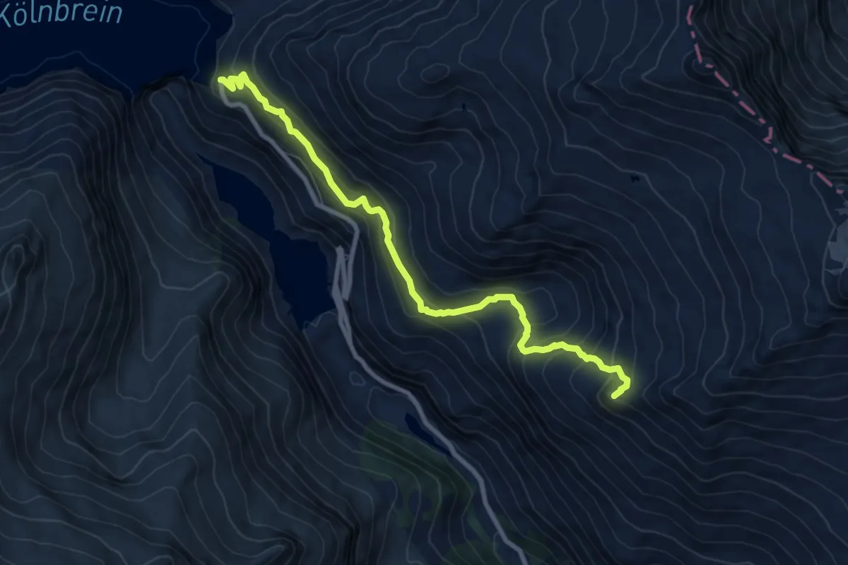
Medium · Summit
Salzgittersteig
8.2 km · ↑ 573 m · 3 h 10 min
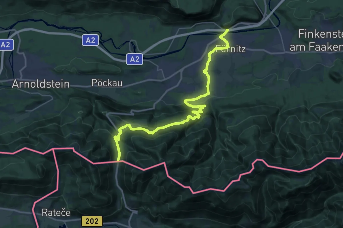
Medium · Trail
Salzsteigweg
13.6 km · ↑ 172 m · 4 h 4 min
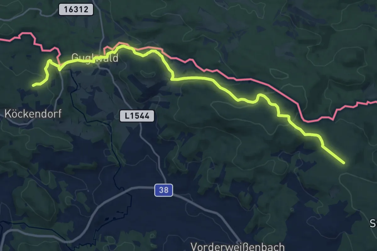
Demanding · Trail
Salzsteigweg 09A
19.2 km · ↑ 567 m · 5 h 46 min
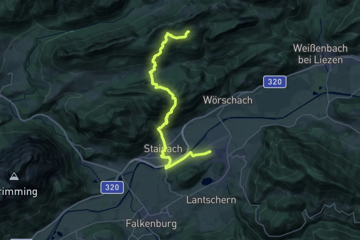
Medium · Trail
Salzsteigweg 09 (Variante Stainach)
12.6 km · ↑ 228 m · 4 h 2 min
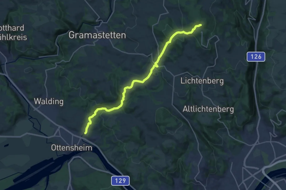
Medium · Trail
Salzsteigweg 109A
17.9 km · ↑ 679 m · 5 h 42 min
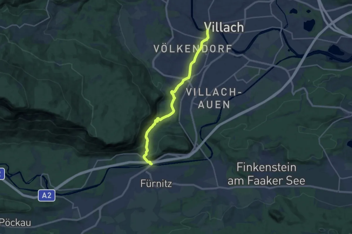
Medium · Trail
Salzsteigweg 209
13.7 km · ↑ 193 m · 3 h 39 min
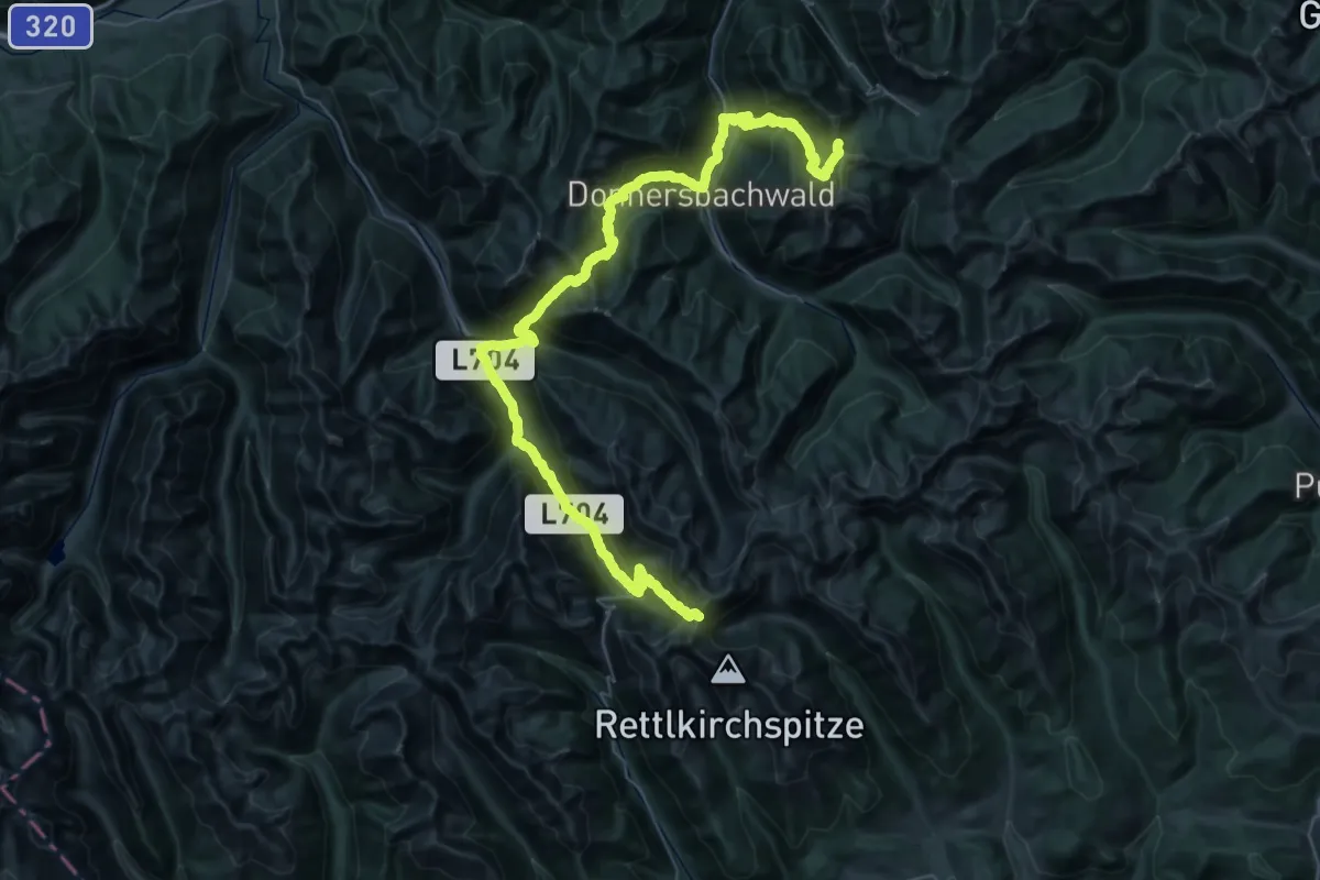
Demanding · Trail
Salzsteigweg 909
33.4 km · ↑ 2194 m · 13 h
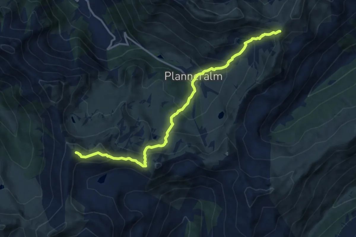
Demanding · Summit
Salzsteigweg 909
10.7 km · ↑ 934 m · 4 h 33 min
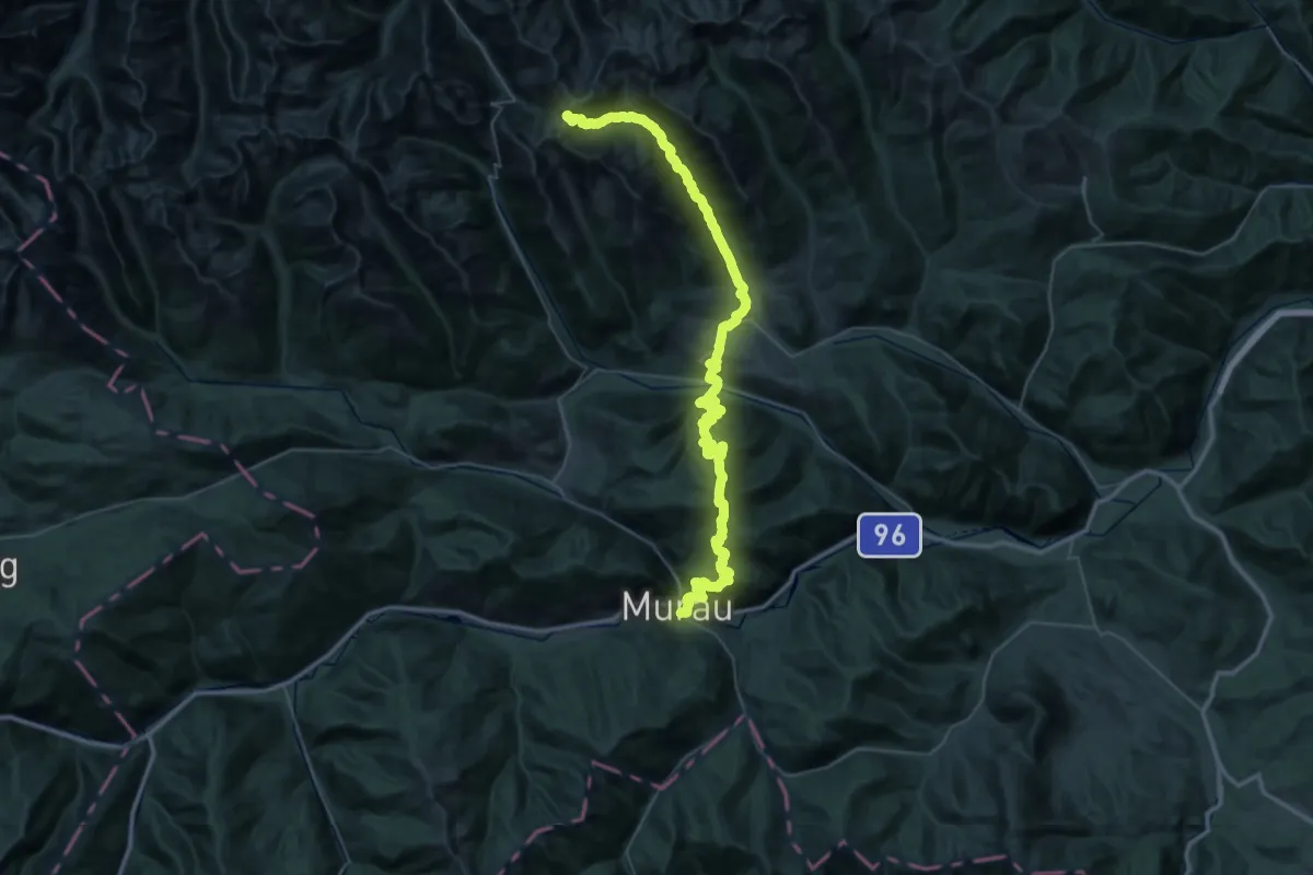
Demanding · Trail
Salzsteigweg 909
33.8 km · ↑ 2456 m · 13 h 5 min
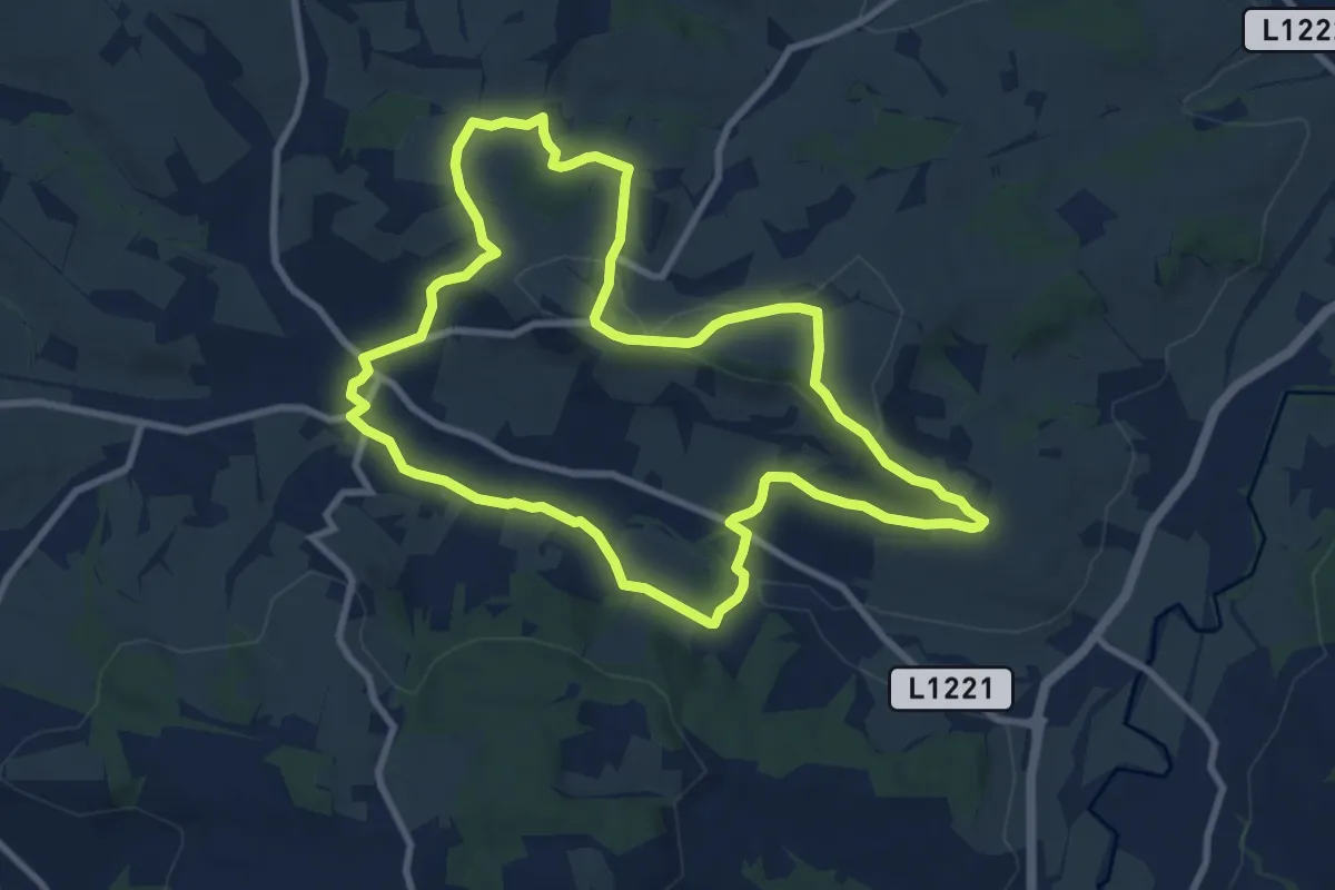
Medium · Trail
Samareiner Jakobsweg
9.0 km · ↑ 200 m · 2 h 41 min
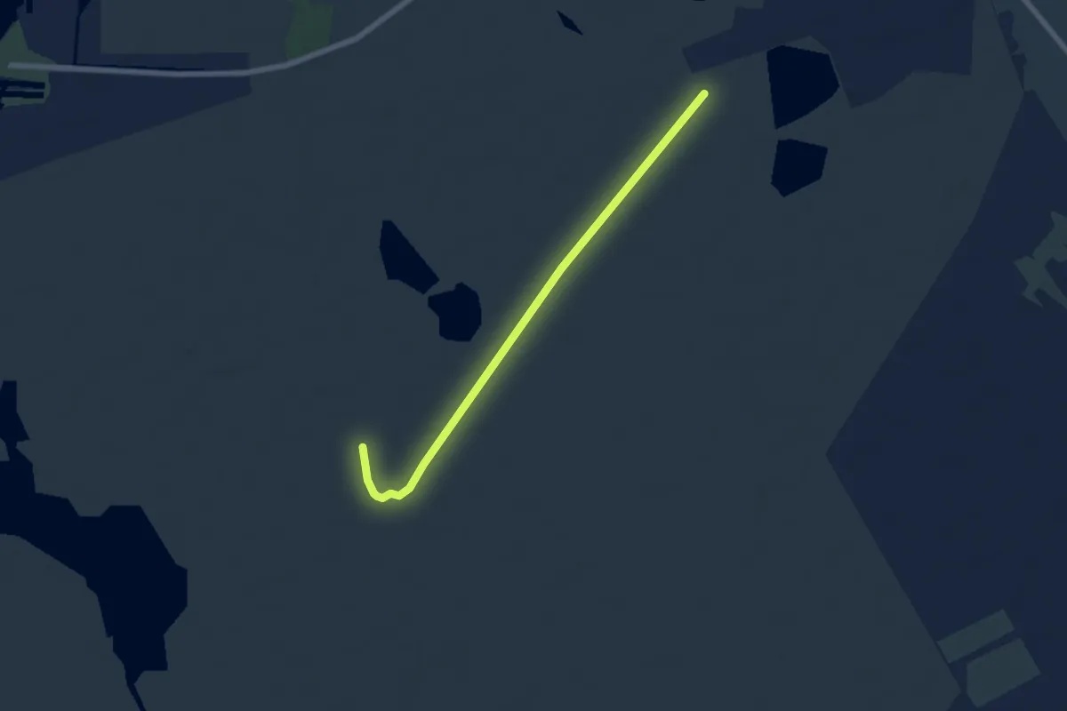
Easy · Trail
Sandeck-Runde (28)
3.0 km · ↑ 0 m · 45 min
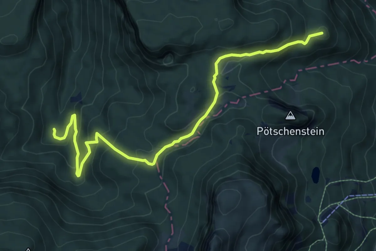
Medium · Summit
Sandling 241
9.8 km · ↑ 428 m · 3 h 14 min
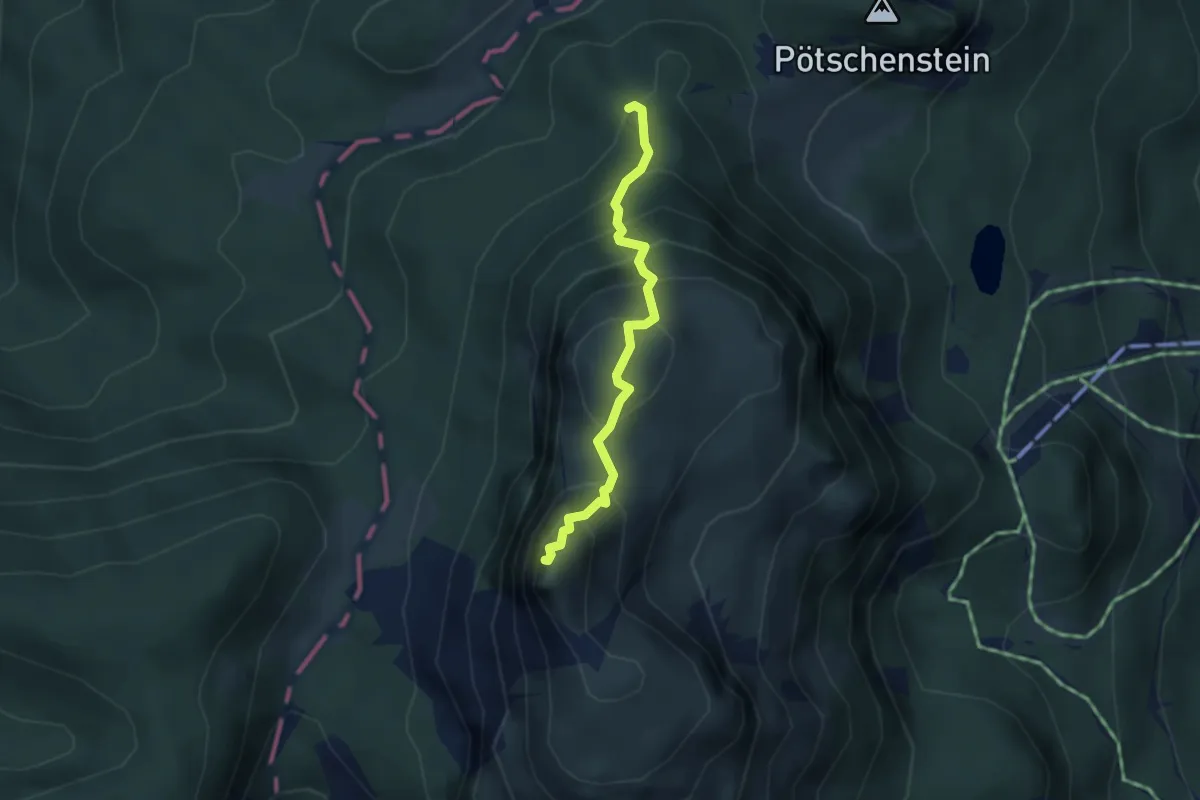
Demanding · Summit
Sandling 251
3.0 km · ↑ 417 m · 1 h 36 min
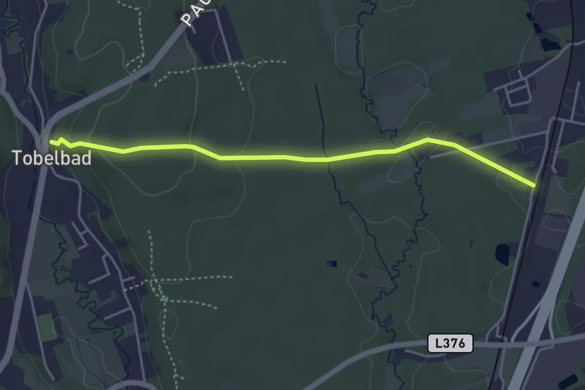
Easy · Trail
Sandweg
4.0 km · ↑ 111 m · 1 h 11 min
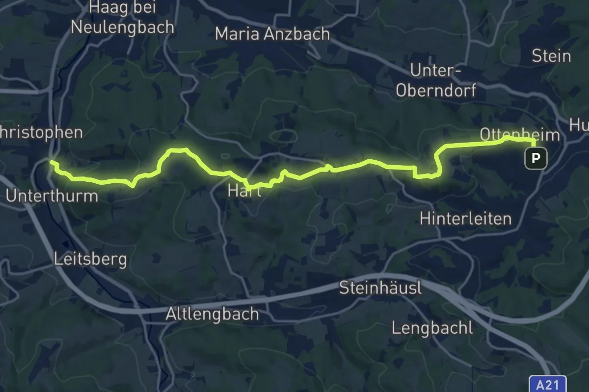
Medium · Trail
Sankt Christophen - Eichgraben
17.5 km · ↑ 580 m · 5 h 23 min
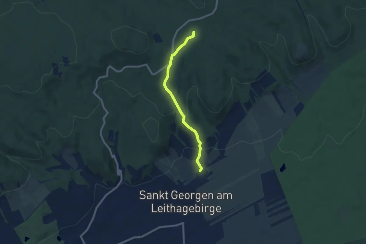
Easy · Trail
Sankt Georgen - Wilder Jäger
5.3 km · ↑ 209 m · 1 h 43 min
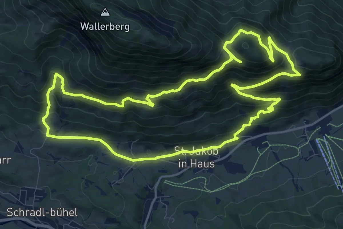
Medium · Trail
Sankt Jakober Höhenweg
11.1 km · ↑ 544 m · 3 h 58 min
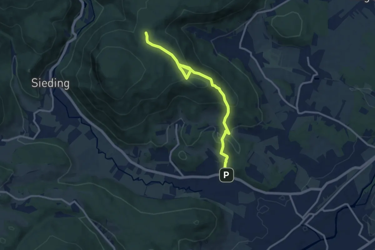
Medium · Trail
Sankt Johann - Kranzstetten
8.6 km · ↑ 424 m · 2 h 56 min
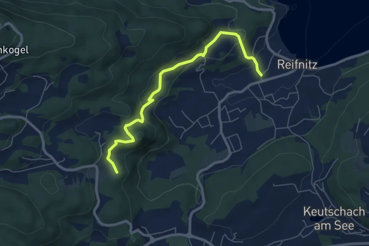
Easy · Trail
Sankt Margarethen Runde
5.6 km · ↑ 243 m · 1 h 51 min
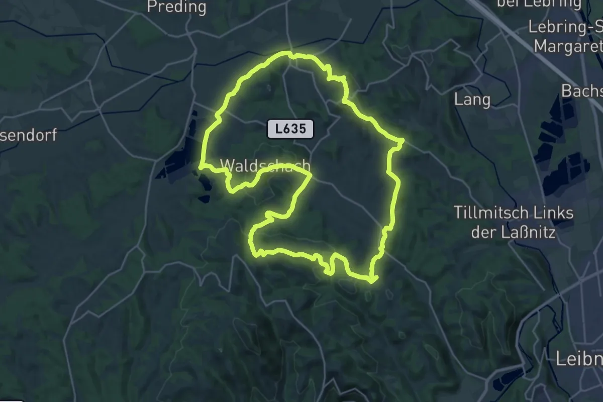
Demanding · Summit
Sankt Nikolaier Rundwanderweg
23.7 km · ↑ 690 m · 7 h 25 min
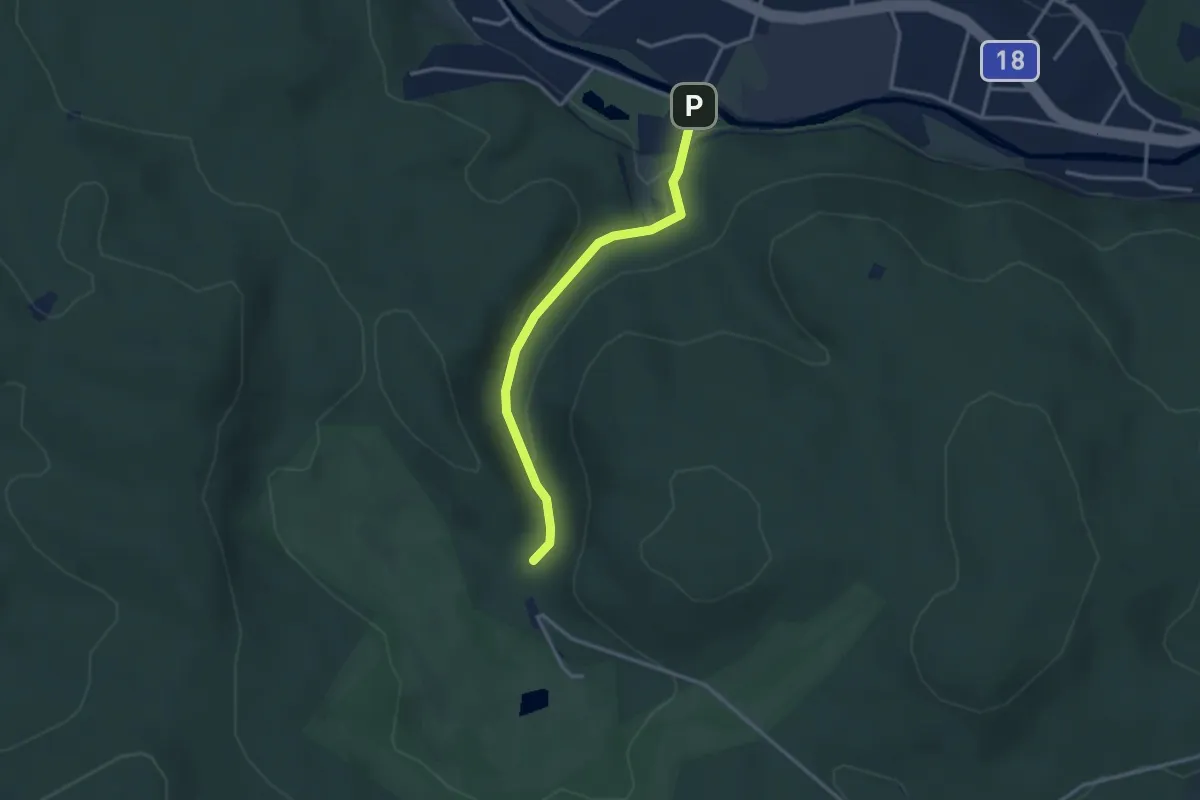
Easy · Trail
Sankt Veit - Eistalhöhle (Wanderwegverzweigung gelb & grün)
2.9 km · ↑ 53 m · 47 min
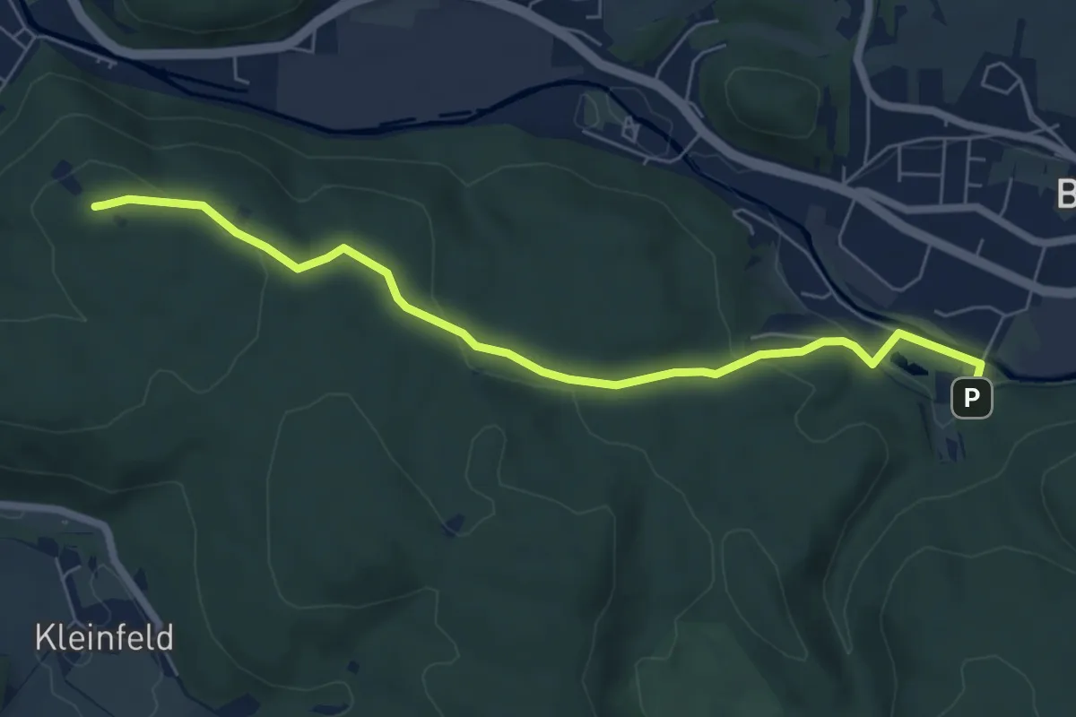
Easy · Summit
Sankt Veit - Guglzipf
6.4 km · ↑ 179 m · 1 h 54 min
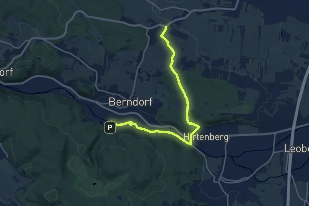
Medium · Trail
Sankt Veit - Hirtenberg - Großau - Vöslauer Hütte
11.8 km · ↑ 166 m · 3 h 9 min
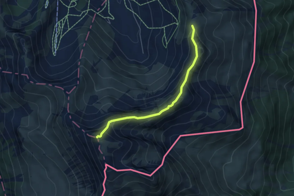
Medium · Summit
Sareiserjoch - Augstenberg
4.3 km · ↑ 359 m · 1 h 48 min
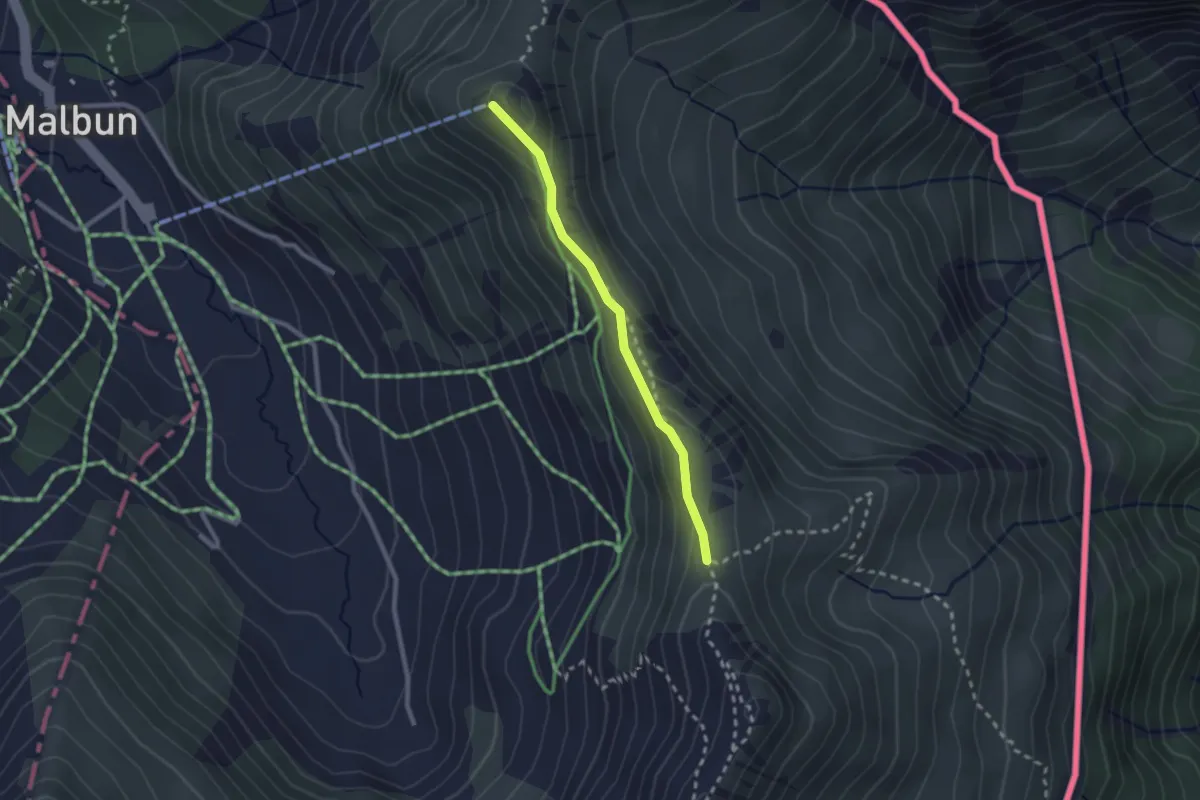
Medium · Trail
Sareis - Sareiserjoch
2.1 km · ↑ 82 m · 41 min
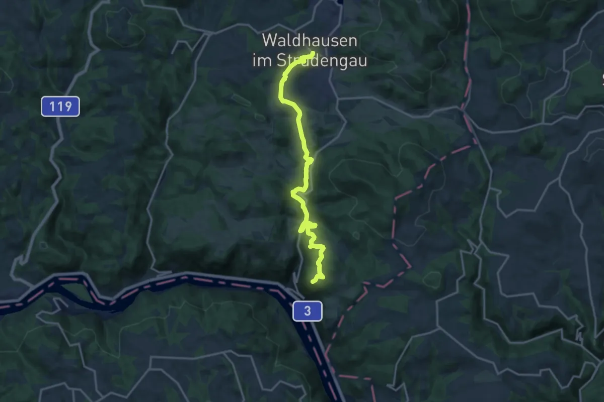
Medium · Summit
Sarmingstein - Waldhausen Donausteig Etappe
13.9 km · ↑ 385 m · 4 h 6 min
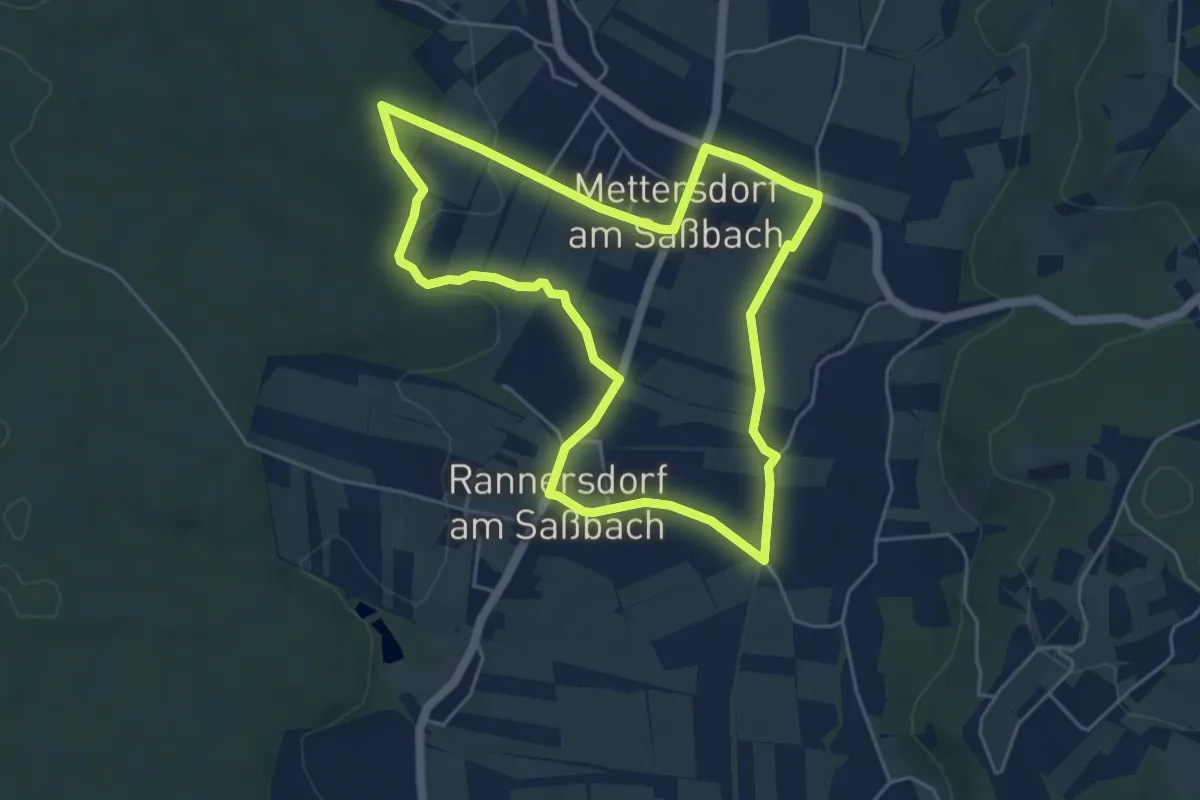
Easy · Trail
Sarossa Krenweg
5.1 km · ↑ 41 m · 1 h 21 min
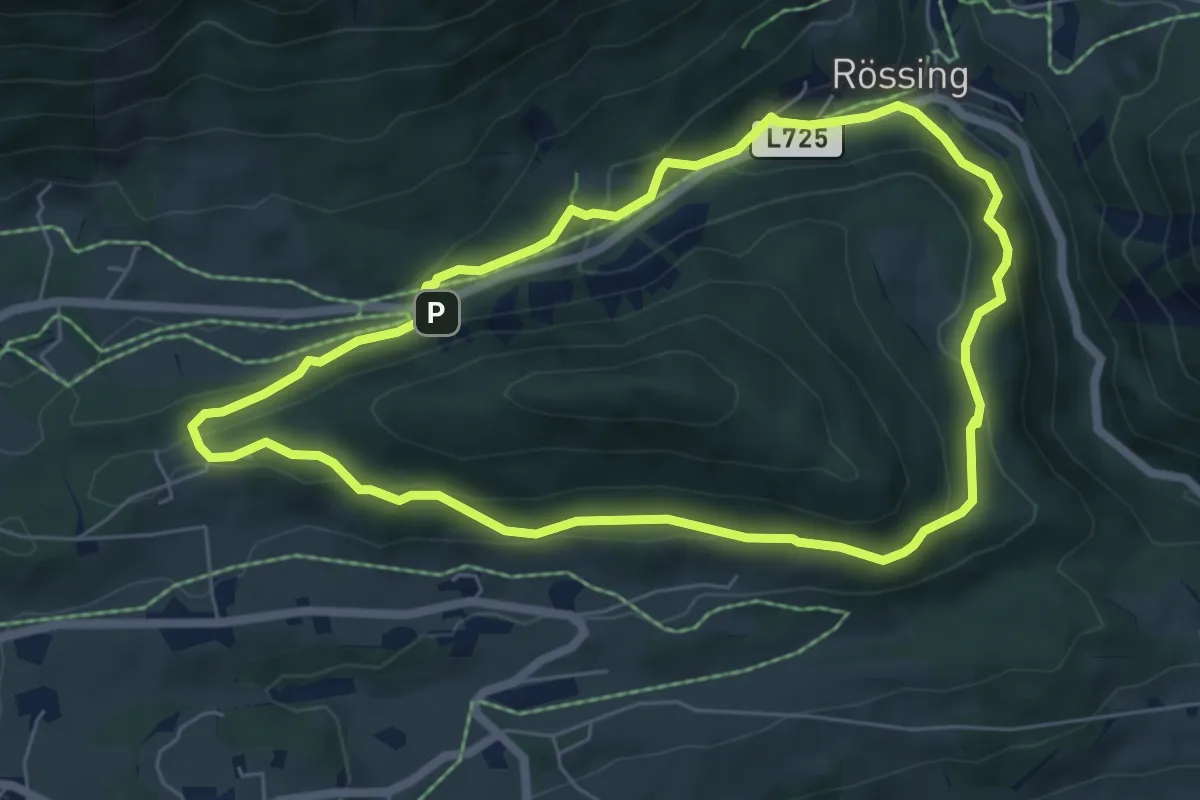
Easy · Trail
Sattelberg Rundweg "Kindererlebnisberg"
5.9 km · ↑ 223 m · 1 h 57 min
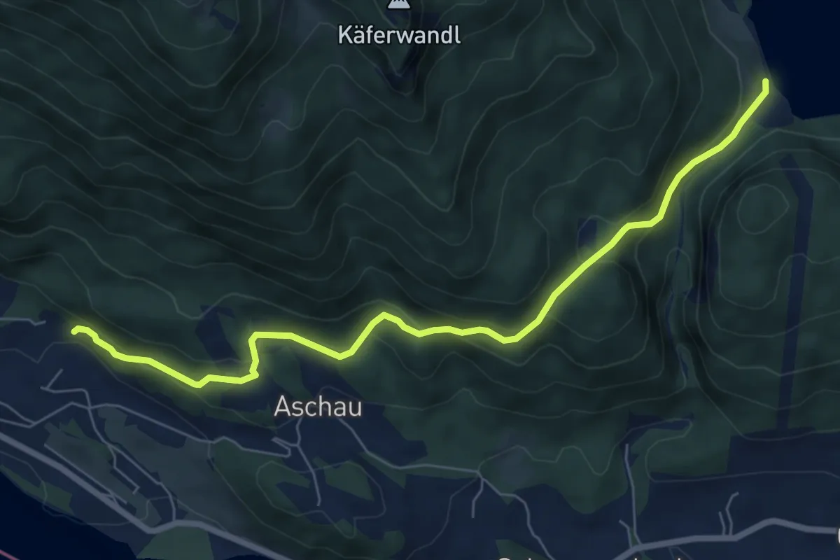
Easy · Trail
Sattelweg
7.3 km · ↑ 279 m · 2 h 20 min
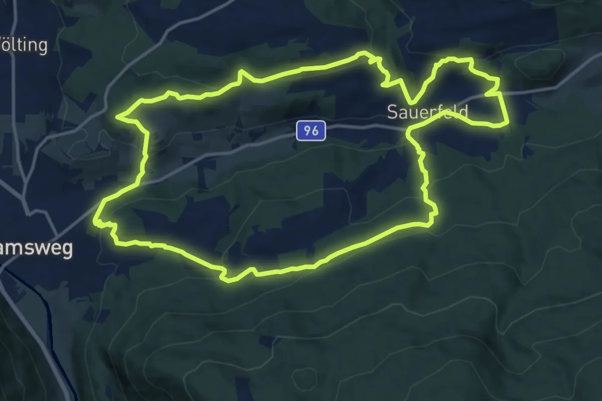
Medium · Trail
Sauerfelder Rundweg
12.7 km · ↑ 490 m · 4 h 14 min
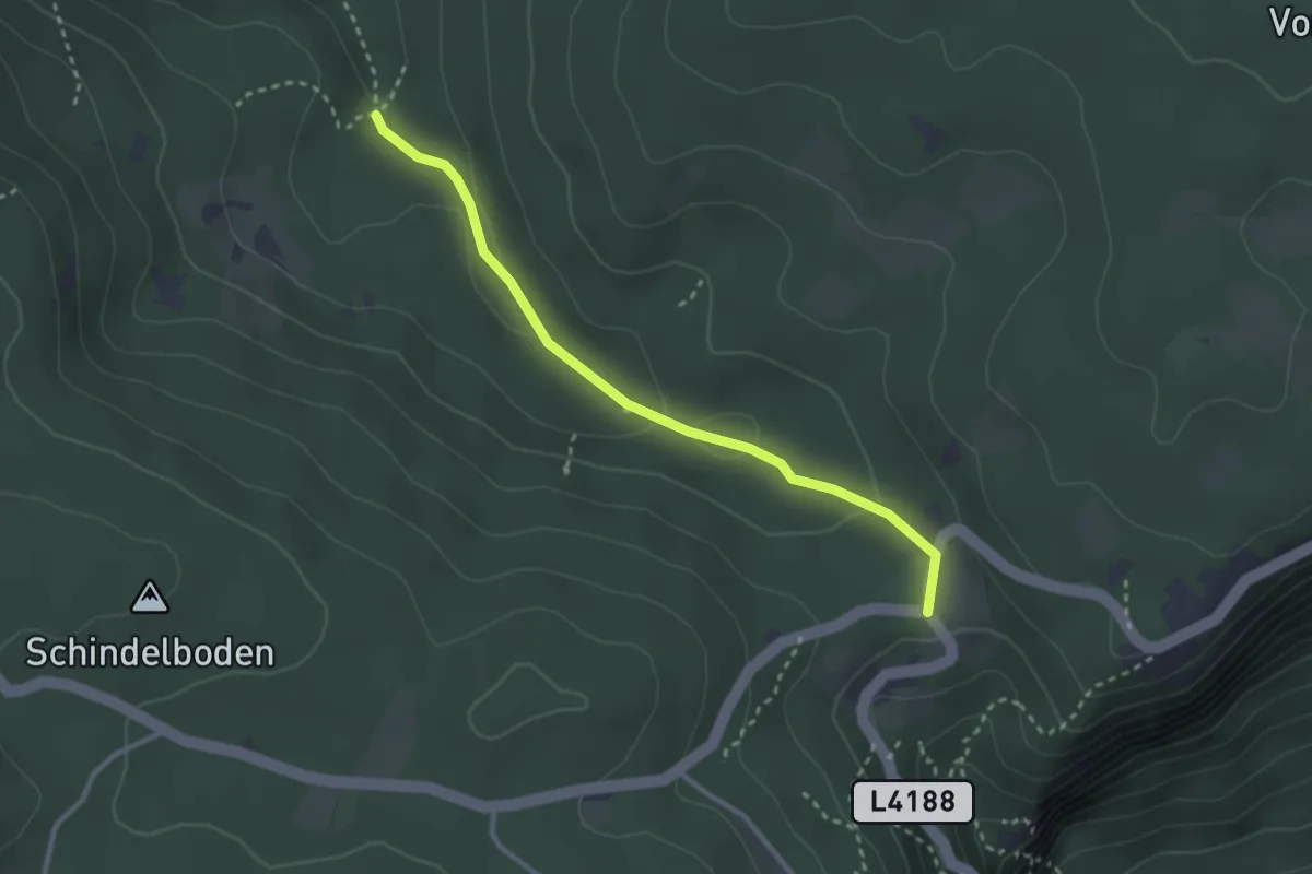
Easy · Trail
Saugraben
2.8 km · ↑ 84 m · 50 min
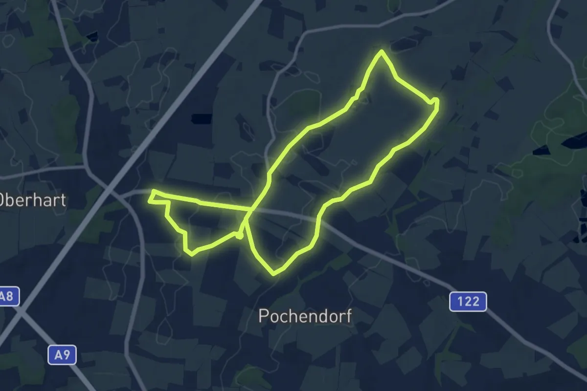
Medium · Trail
Sauguat-Runde
9.0 km · ↑ 44 m · 2 h 20 min
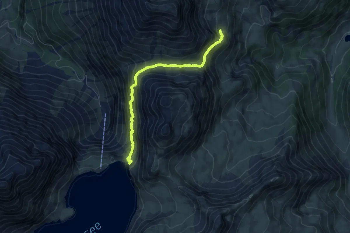
Demanding · Trail
Saulajochsteig
6.3 km · ↑ 418 m · 2 h 24 min
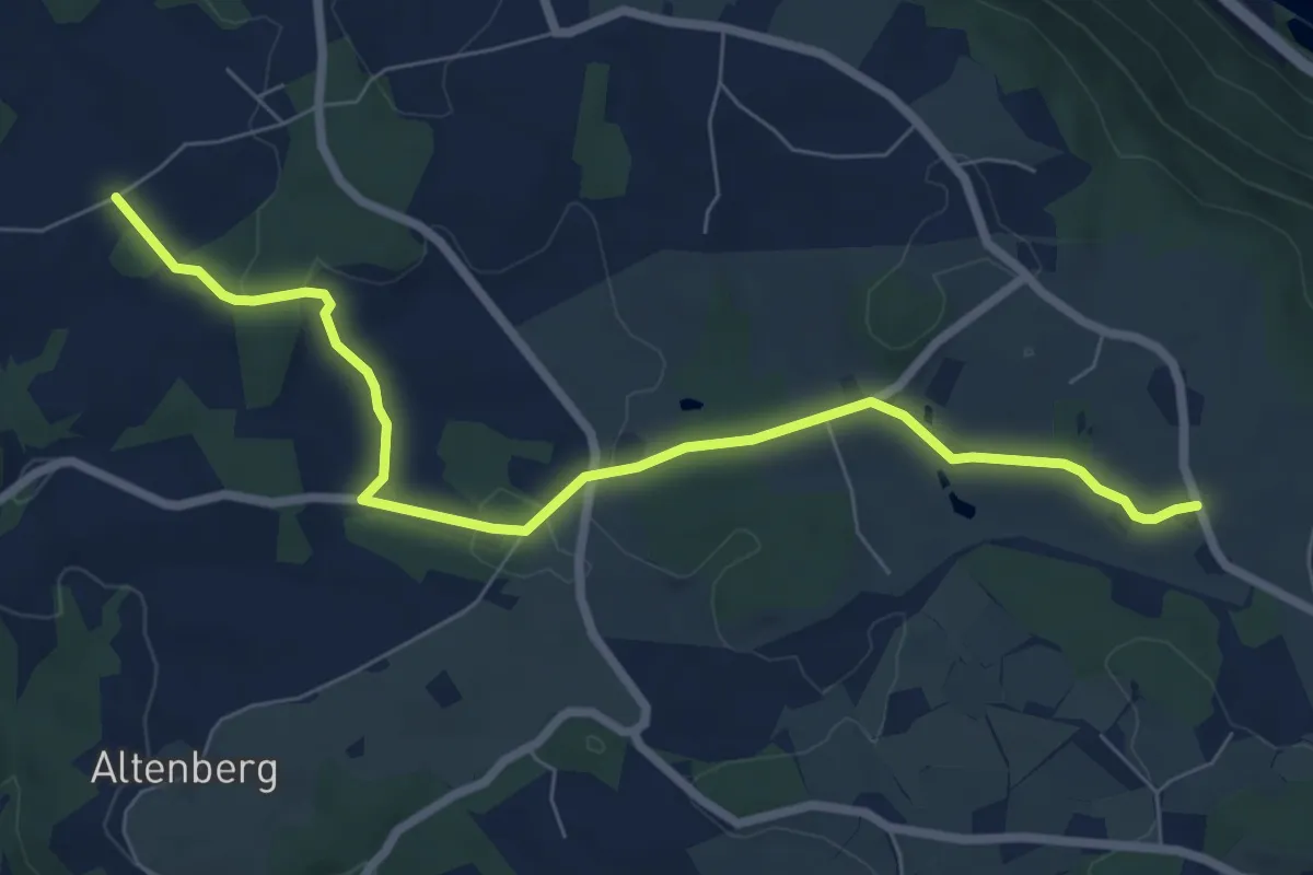
Easy · Trail
Saulehen
7.4 km · ↑ 136 m · 2 h 2 min
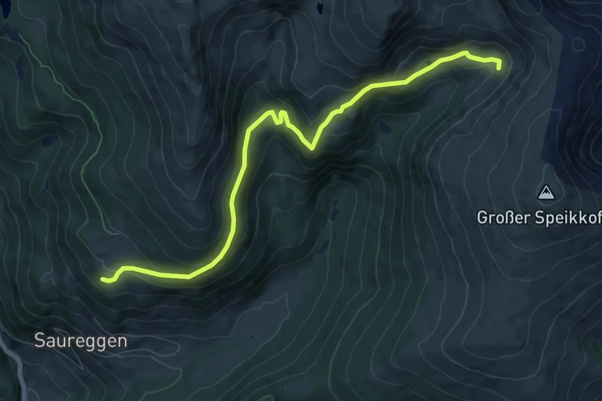
Medium · Trail
Saureggen-Zgartenalm
9.6 km · ↑ 474 m · 3 h 18 min
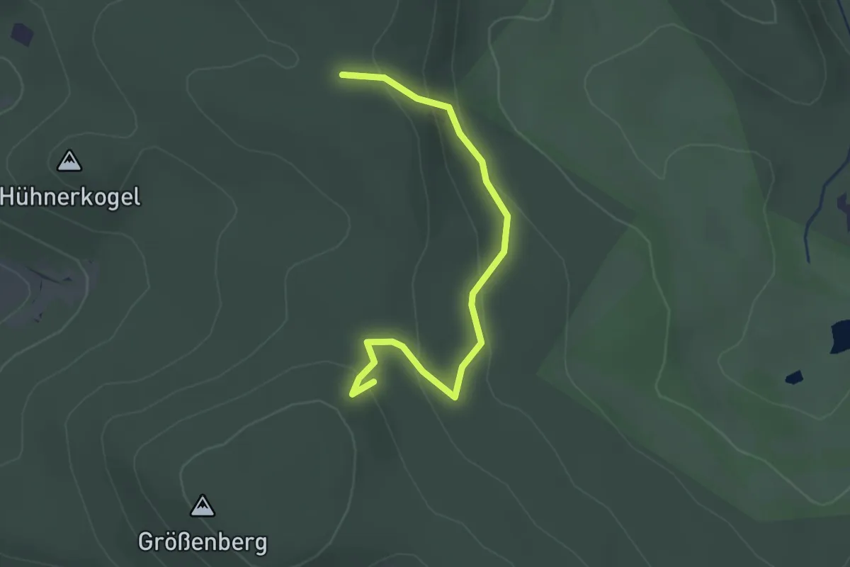
Easy · Trail
Saurerkreuz - Mariensäule am Größenberg
2.4 km · ↑ 118 m · 49 min
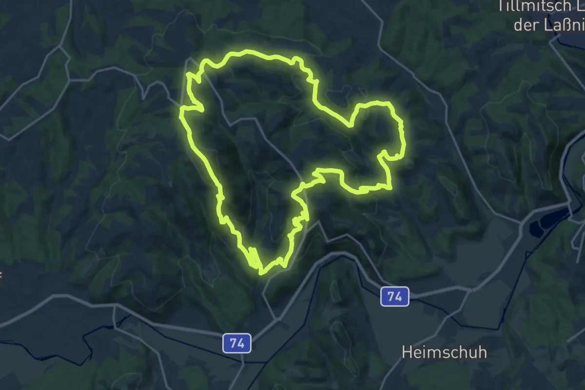
Demanding · Summit
Sausaler Rundwanderweg
19.9 km · ↑ 845 m · 6 h 48 min
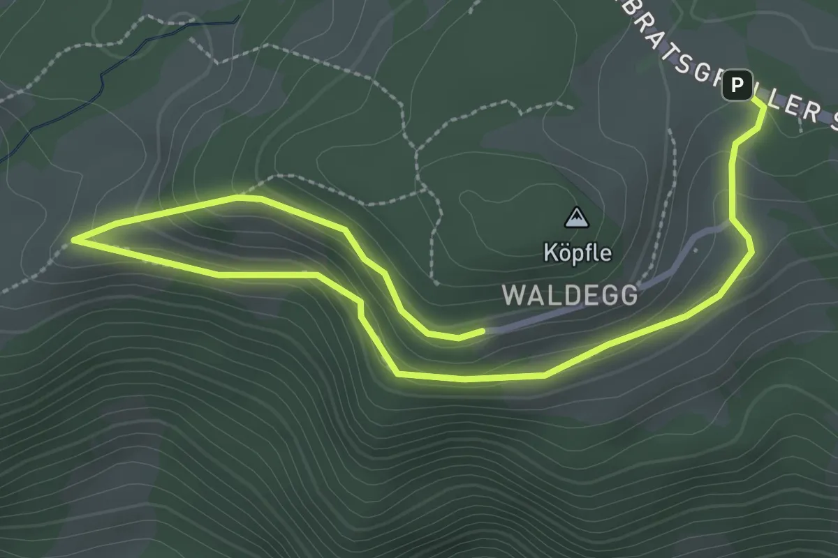
Easy · Trail
Sausteigrundweg
4.1 km · ↑ 154 m · 1 h 18 min