Trails in Austria
9,779 hiking trails, each with its route, climb, walking time and grade.
All trails, page 98 of 204
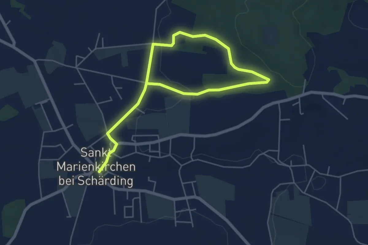
Easy · Trail
Rundweg zum Innblick
6.2 km · ↑ 82 m · 1 h 39 min
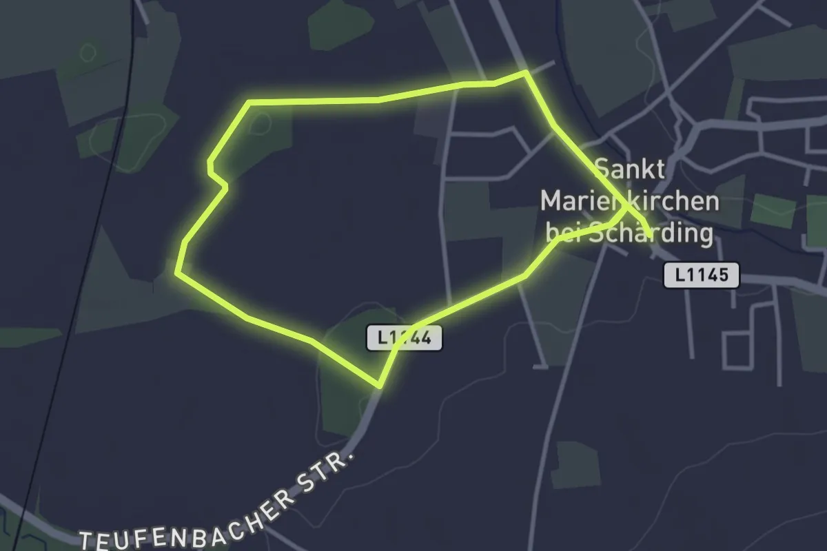
Easy · Trail
Rundweg zum Raderhölzl
2.8 km · ↑ 0 m · 42 min
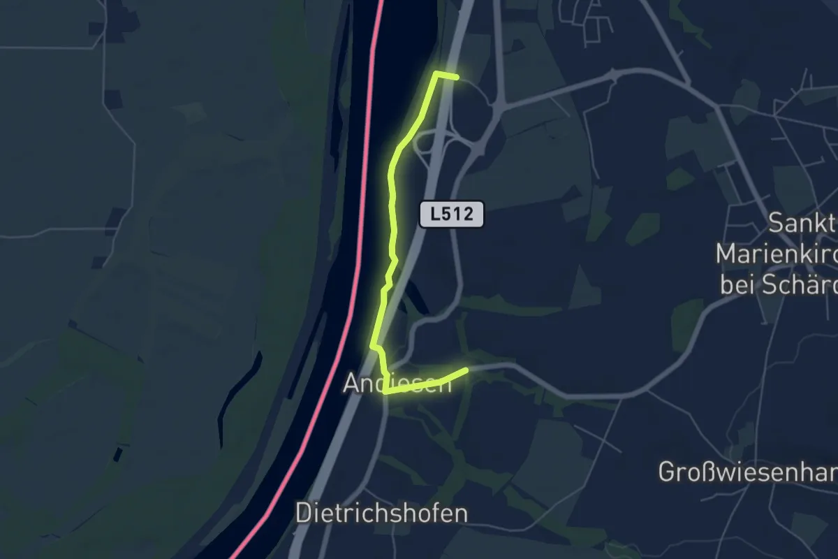
Easy · Trail
Rundweg zur 1000-jährigen Linde
4.7 km · ↑ 36 m · 1 h 12 min
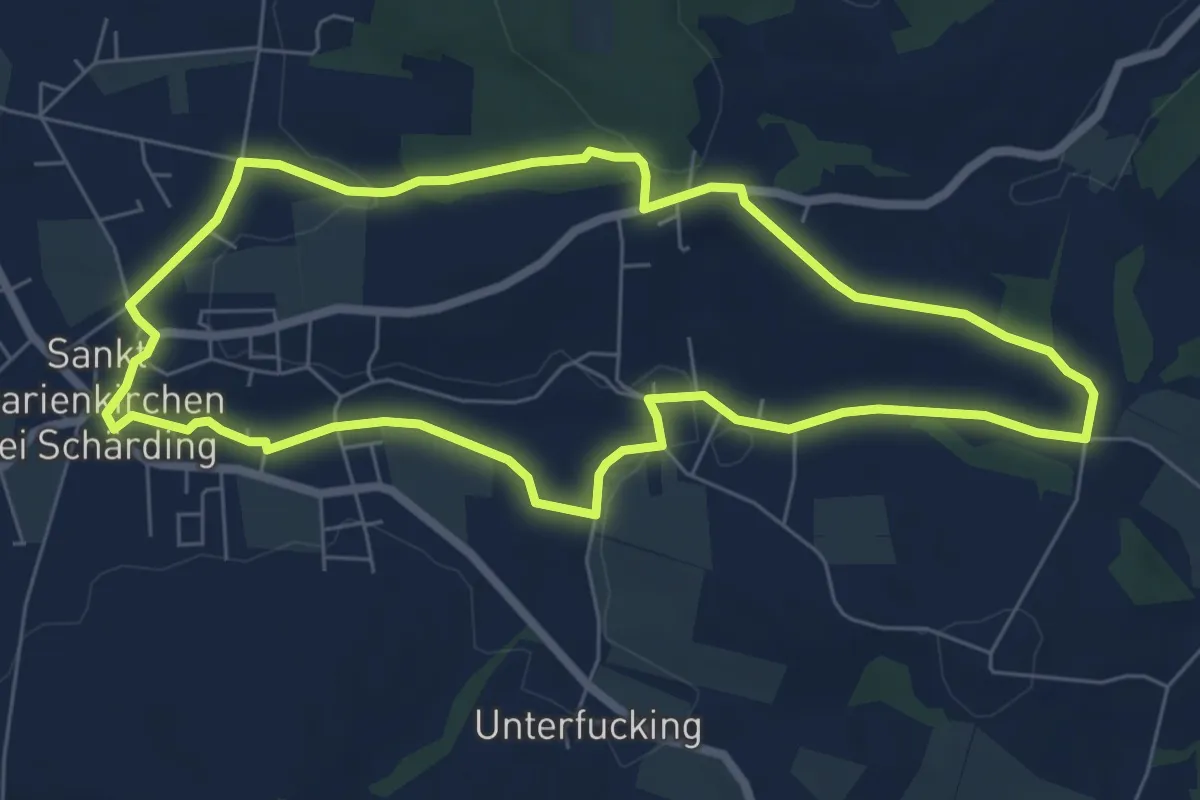
Easy · Trail
Rundweg zur Singerer Höhe
6.5 km · ↑ 69 m · 1 h 47 min
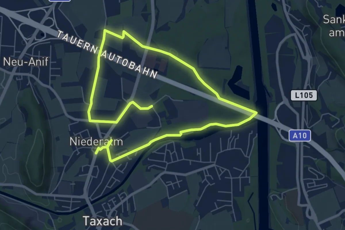
Easy · Trail
Runnersfun Runde
5.5 km · ↑ 13 m · 1 h 24 min
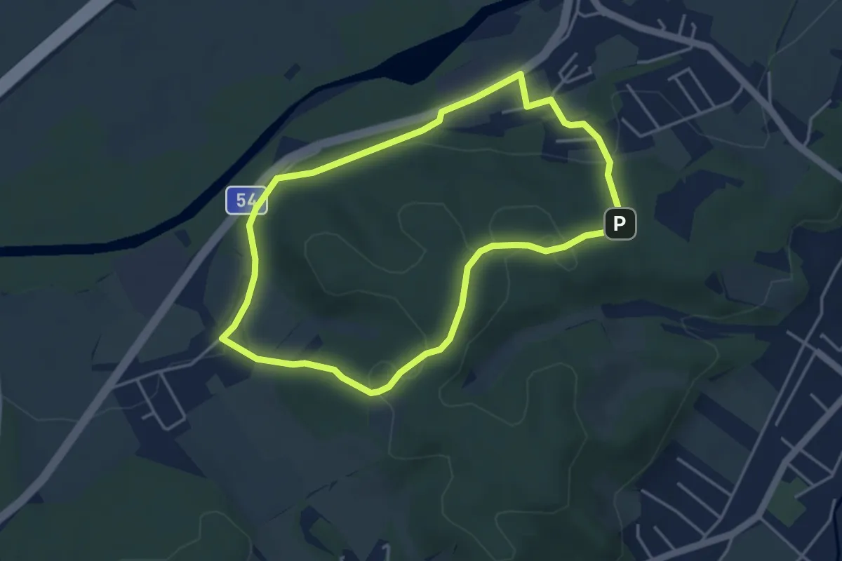
Easy · Trail
Runnersfun Runde
3.7 km · ↑ 76 m · 1 h 5 min
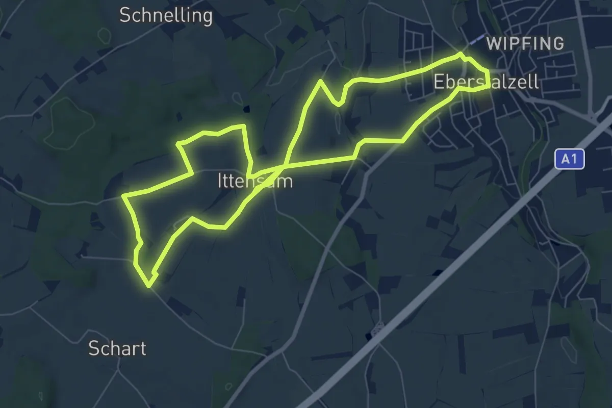
Easy · Trail
Runnersfun Runde
7.3 km · ↑ 89 m · 2 h 1 min
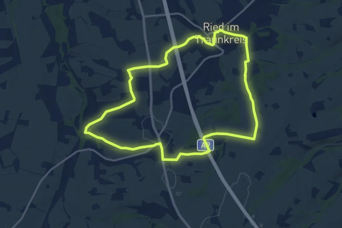
Medium · Trail
Runnersfun Runde
8.6 km · ↑ 136 m · 2 h 26 min
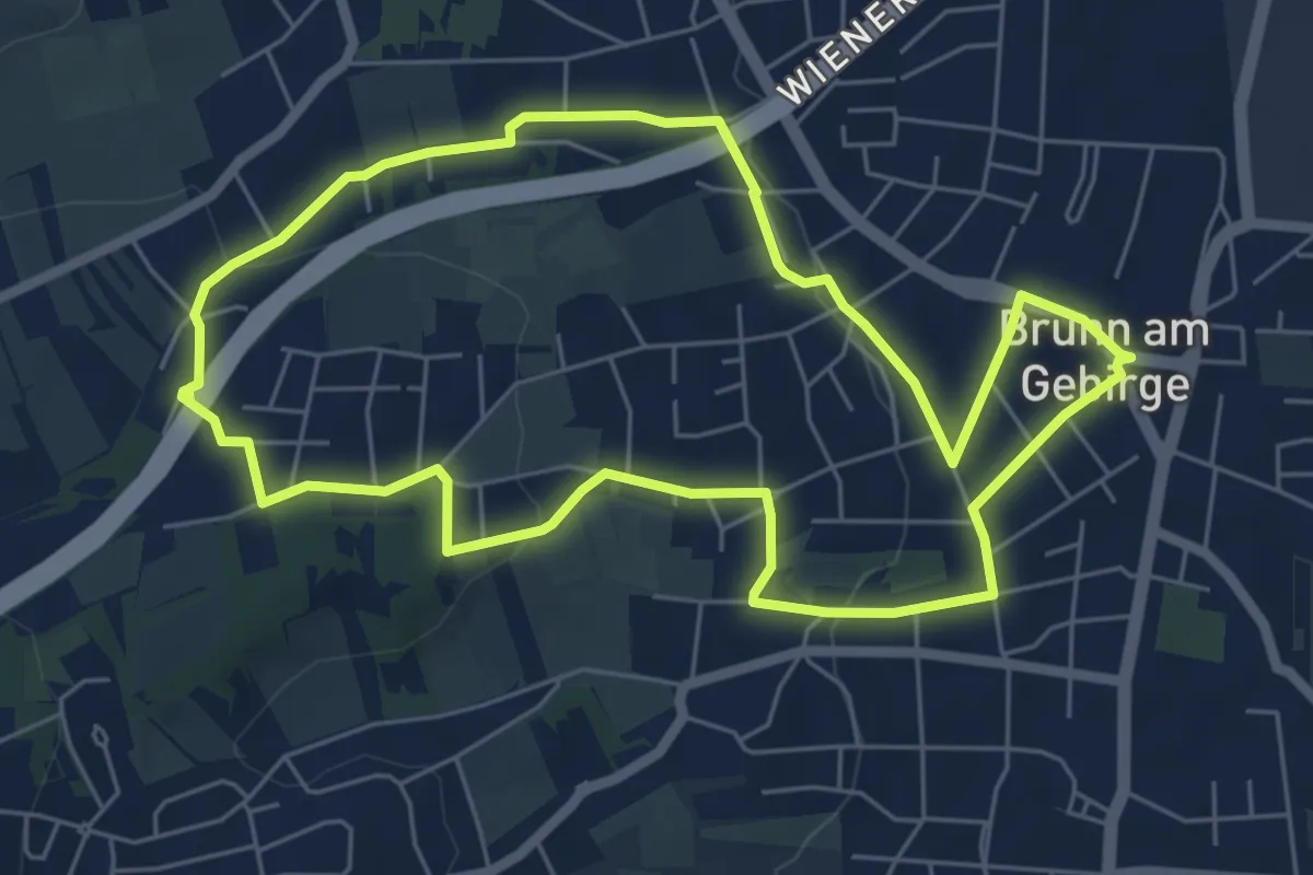
Easy · Trail
Runnersfun Runde
6.0 km · ↑ 115 m · 1 h 45 min
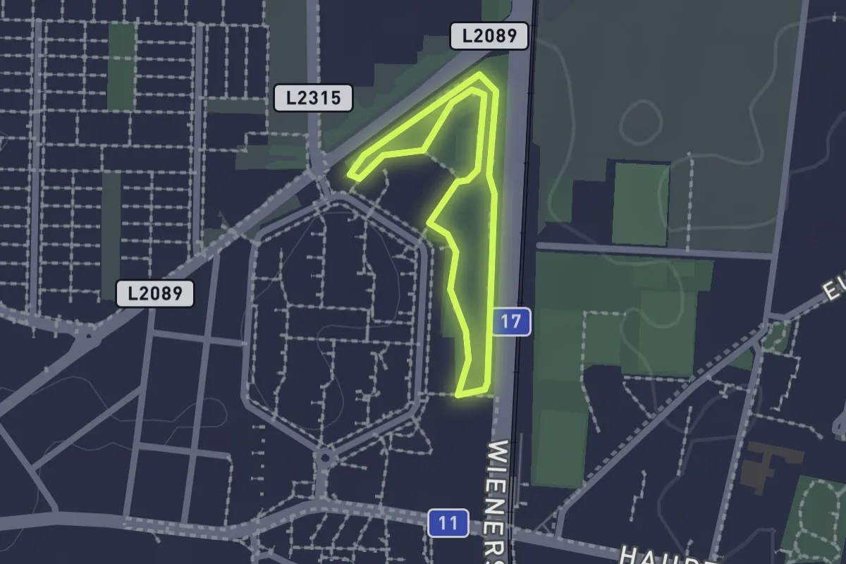
Easy · Trail
Runnersfun Runde
1.4 km · ↑ 0 m · 21 min
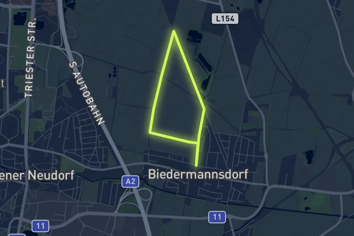
Easy · Trail
Runnersfun Runde
4.4 km · ↑ 12 m · 1 h 8 min
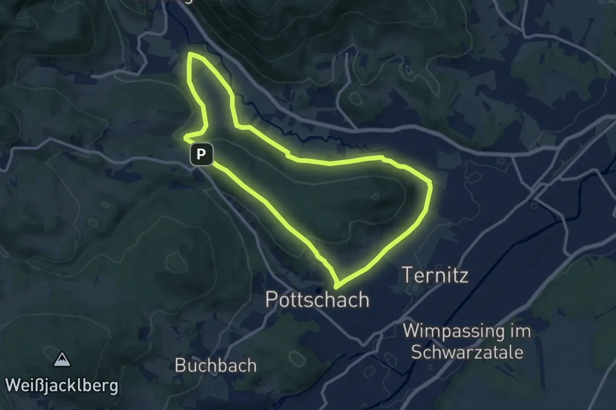
Medium · Summit
Runnersfun Runde "Gfieder Runde" (bei Ternitz)
9.4 km · ↑ 141 m · 2 h 40 min
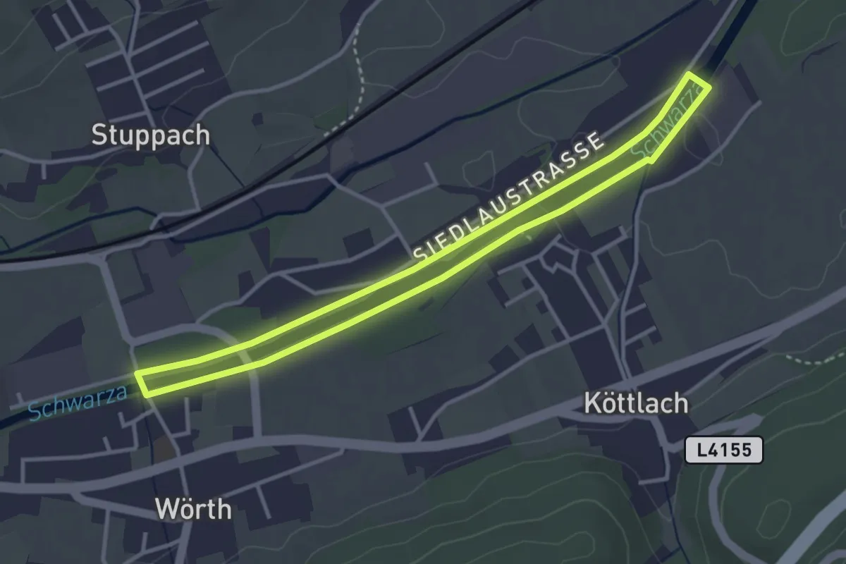
Easy · Trail
Runners Fun Runde (Gloggnitz)
3.3 km · ↑ 10 m · 50 min
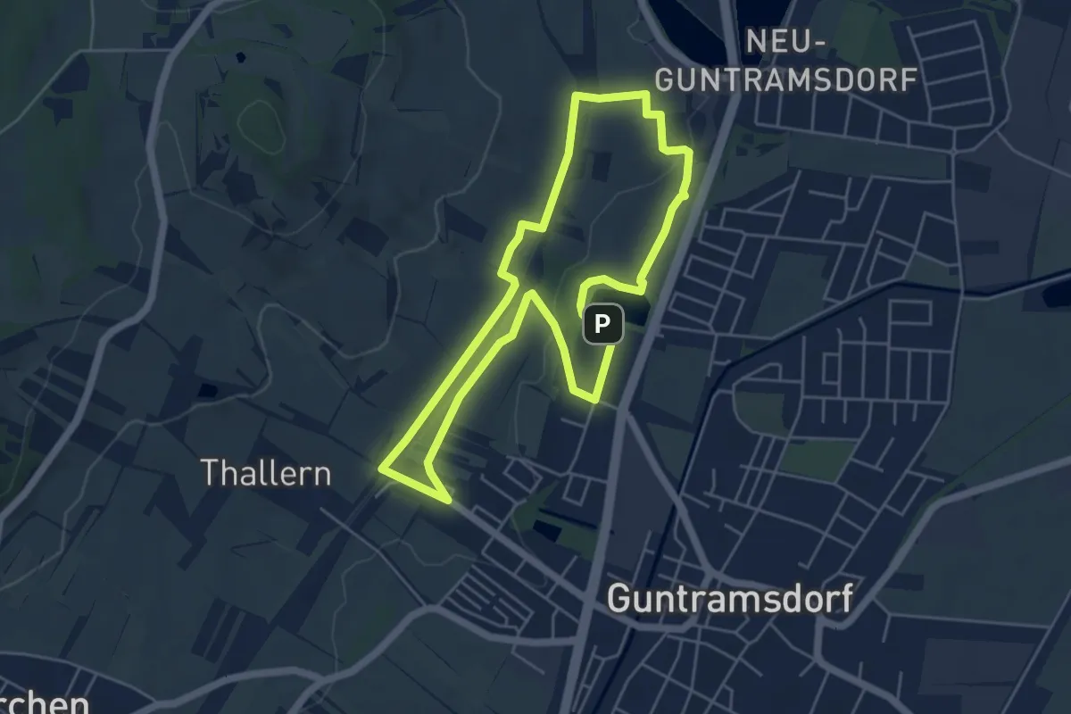
Easy · Summit
Runnersfun Runde (Guntramsdorf)
4.7 km · ↑ 47 m · 1 h 17 min
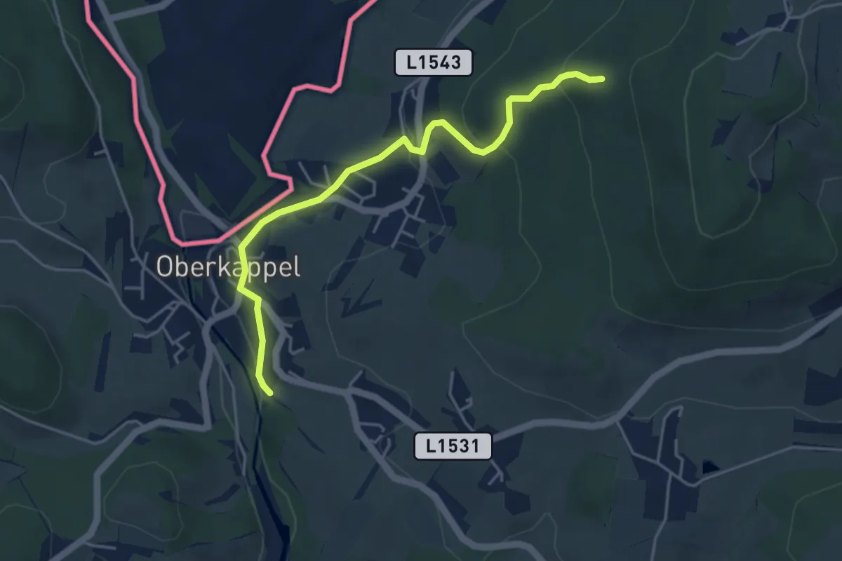
Easy · Trail
Rupertiweg 10
4.1 km · ↑ 180 m · 1 h 21 min
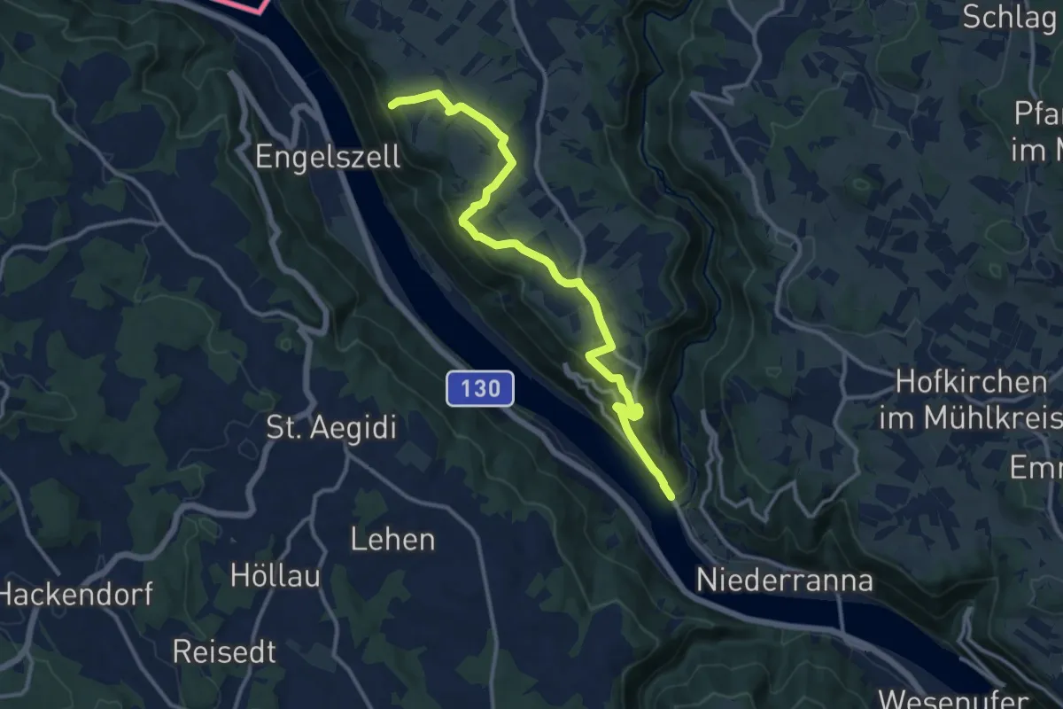
Medium · Summit
Rupertiweg 10A
12.3 km · ↑ 370 m · 3 h 43 min
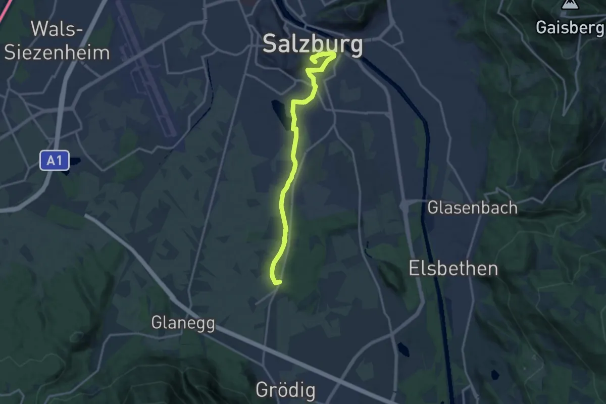
Medium · Summit
Rupertiweg 10 (Stadtroute Salzburg)
12.1 km · ↑ 146 m · 3 h 10 min
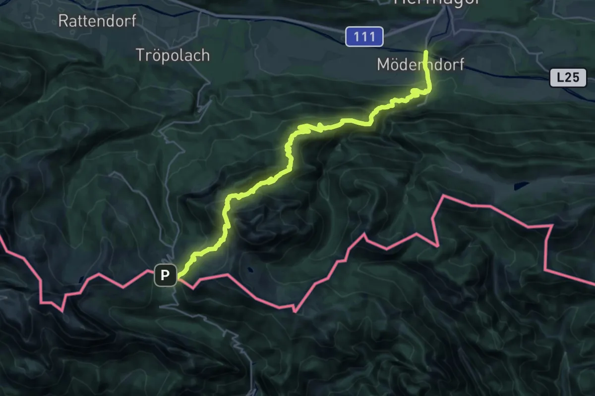
Medium · Trail
Rupertiweg 410
13.6 km · ↑ 440 m · 4 h 50 min
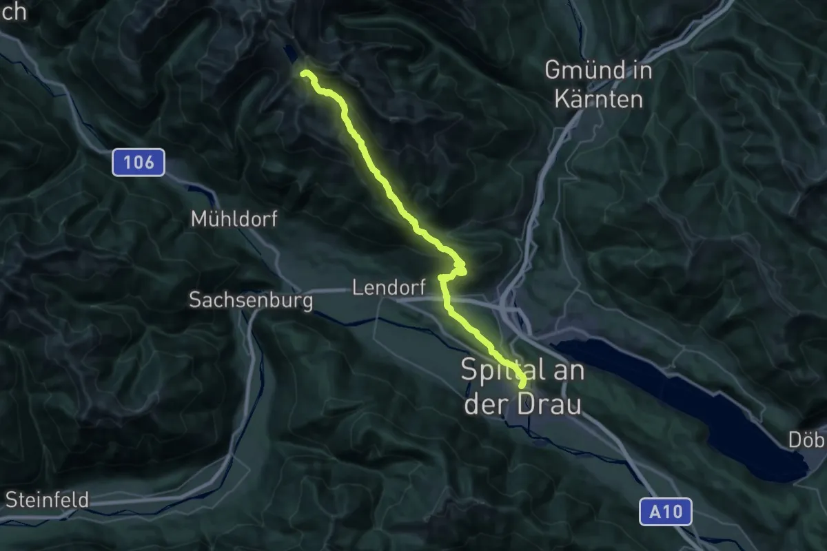
Demanding · Summit
Rupertiweg 510
38.7 km · ↑ 2237 m · 13 h 59 min
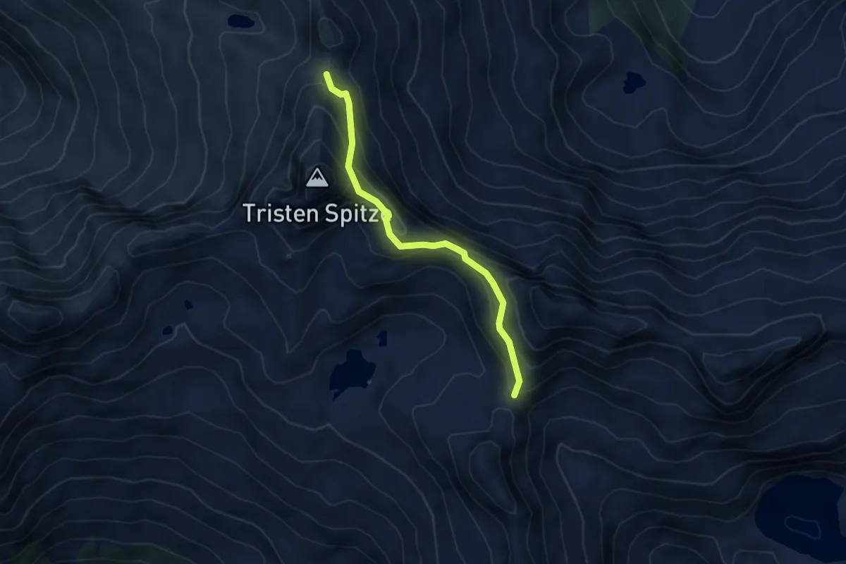
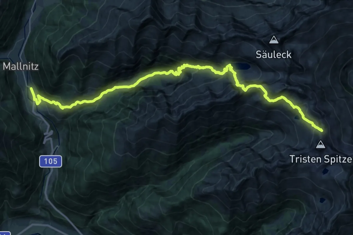
Expert · Trail
Rupertiweg 510
4.2 km · ↑ 279 m · 1 h 35 min
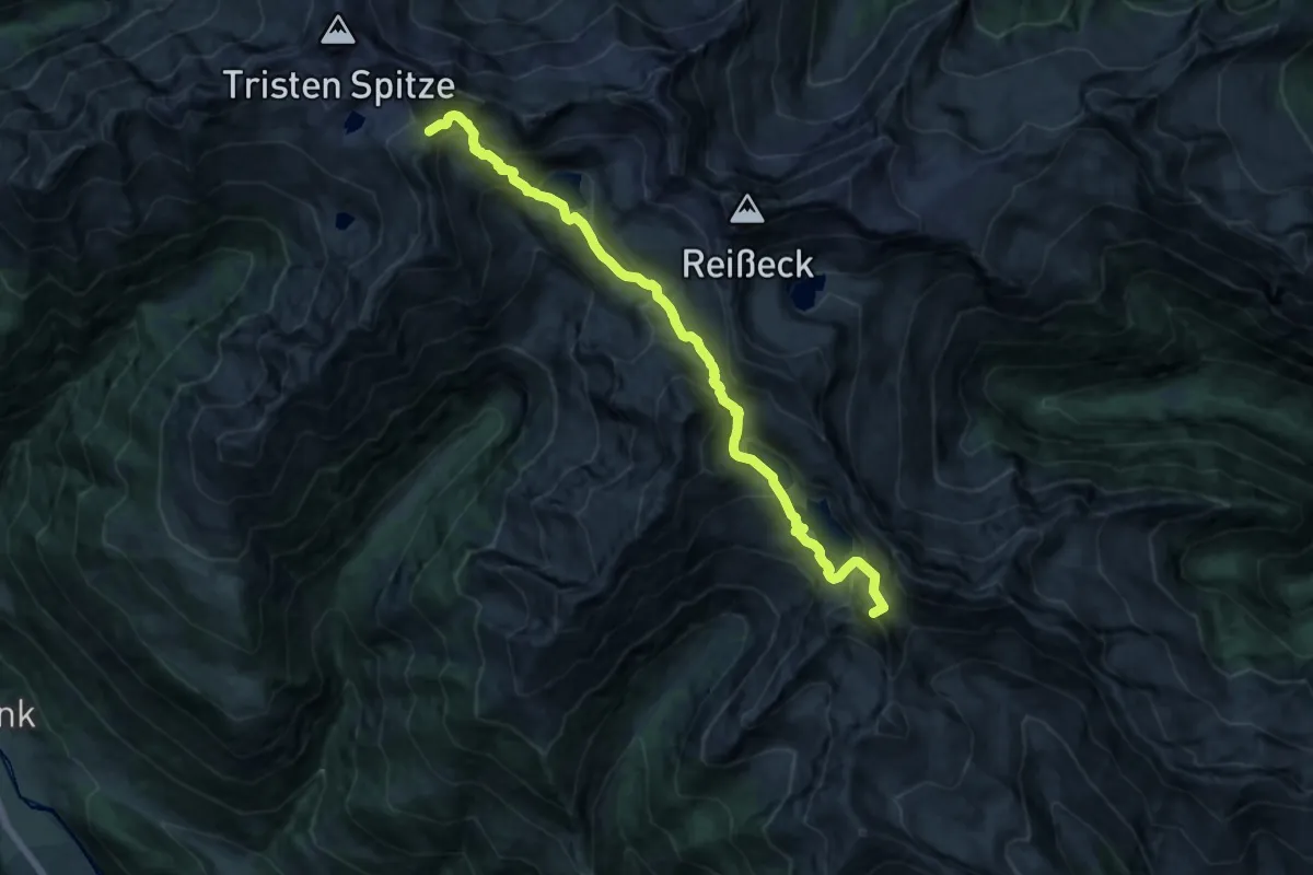
Expert · Trail
Rupertiweg 510
15.2 km · ↑ 1778 m · 6 h 53 min
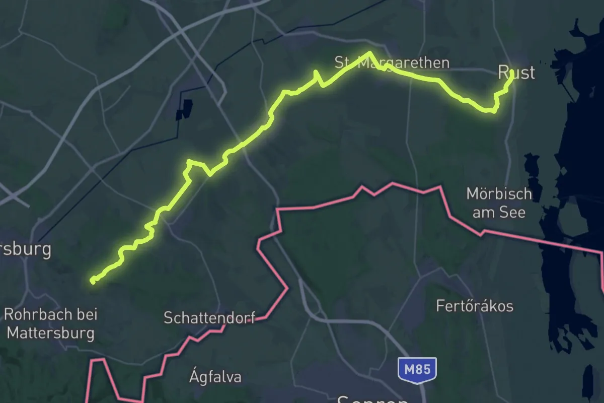
Expert · Summit
Rupertiweg 510
17.1 km · ↑ 1352 m · 6 h 58 min
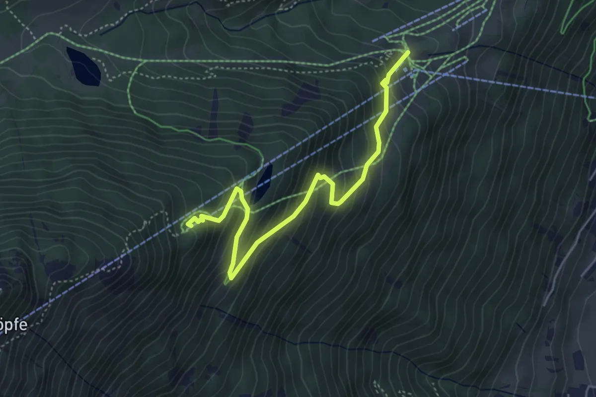
Demanding · Summit
Rust - Mattersburg
52.6 km · ↑ 464 m · 13 h 25 min
Medium · Trail
Rutschenweg
4.6 km · ↑ 400 m · 1 h 58 min
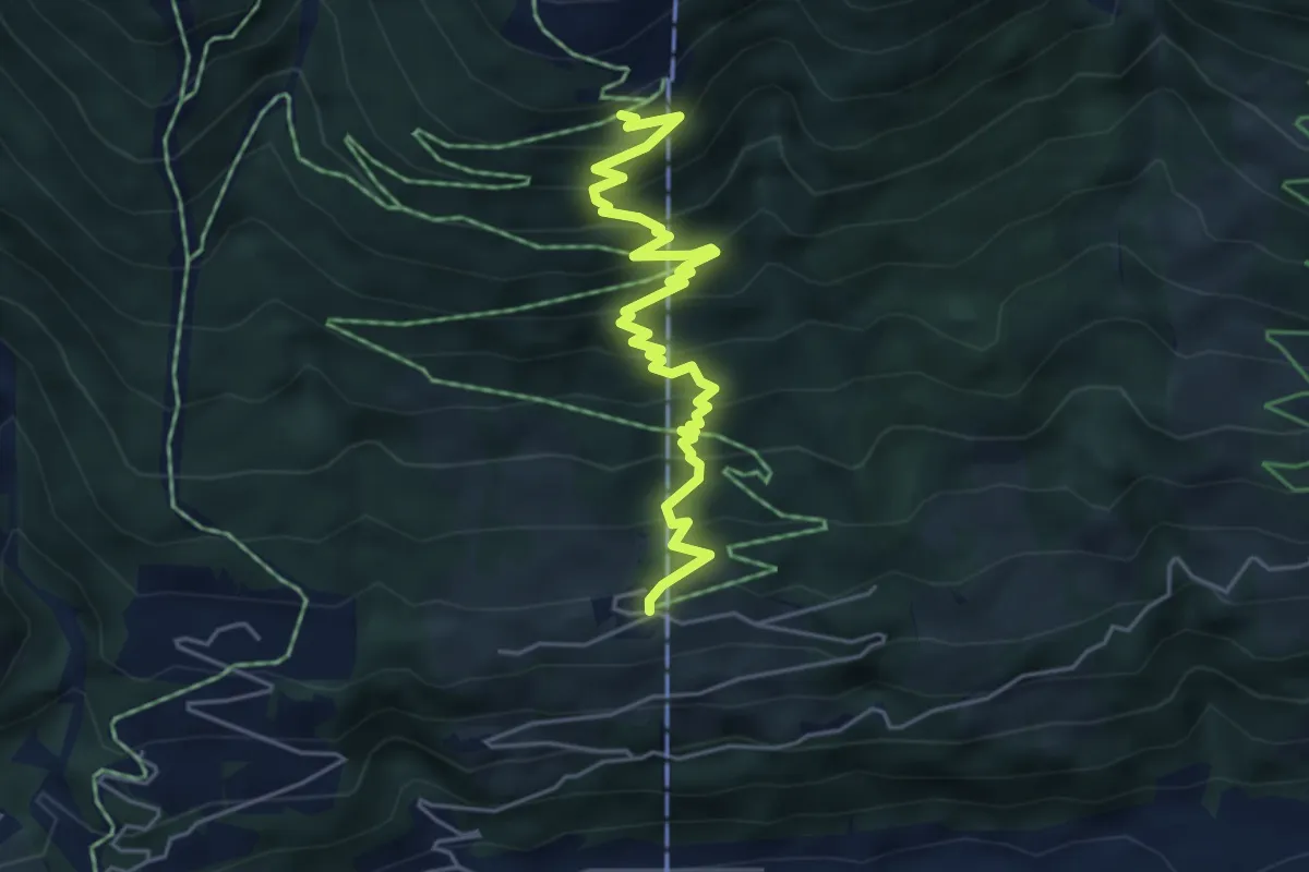
Medium · Trail
Rutschenweg Wildkogelarena
5.3 km · ↑ 498 m · 2 h 20 min
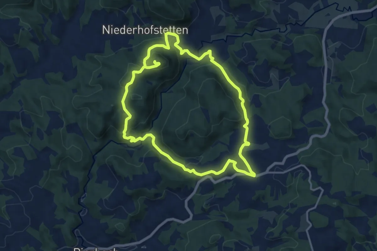
Medium · Trail
Ruttensteinweg Nr. 13
9.8 km · ↑ 358 m · 3 h 15 min
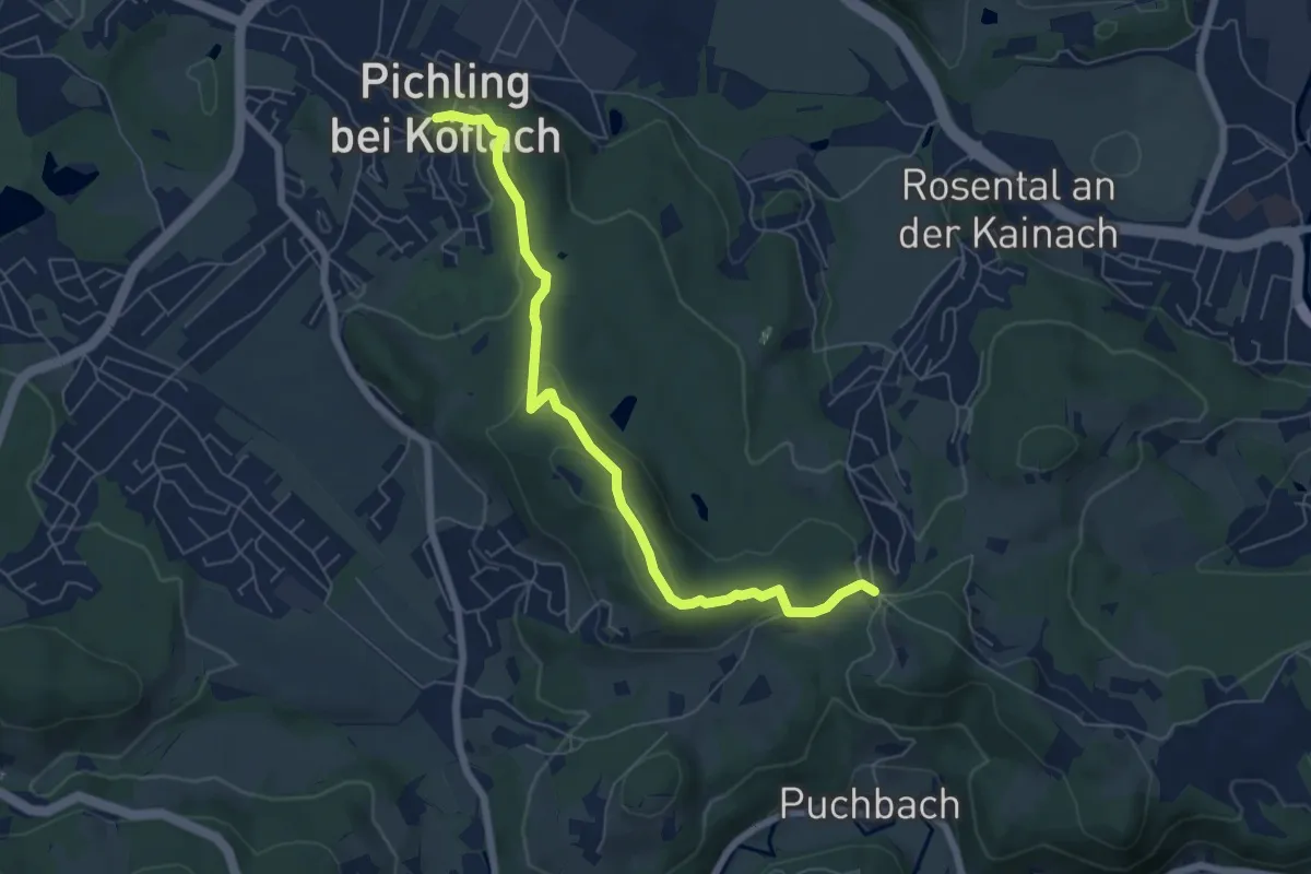
Medium · Summit
RW
3.3 km · ↑ 155 m · 1 h 7 min
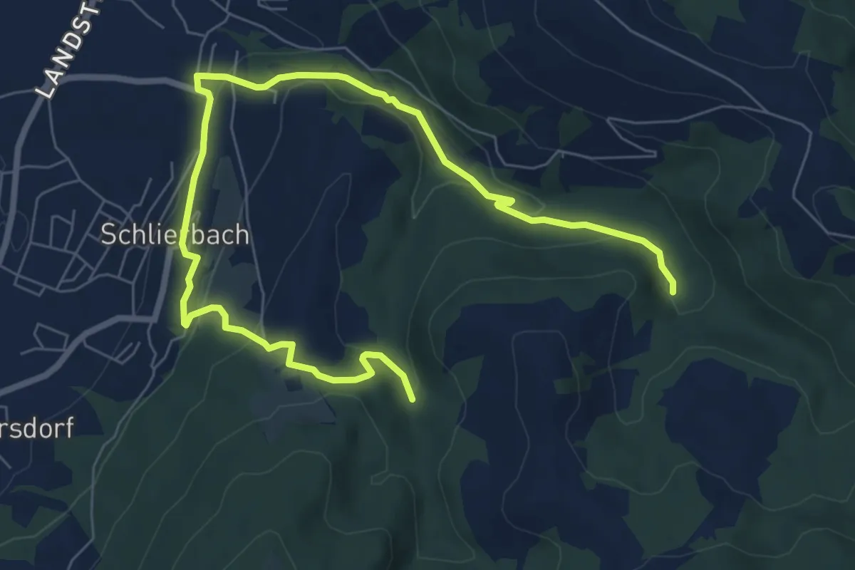
Easy · Trail
RW Bauer in Reith
4.6 km · ↑ 164 m · 1 h 32 min
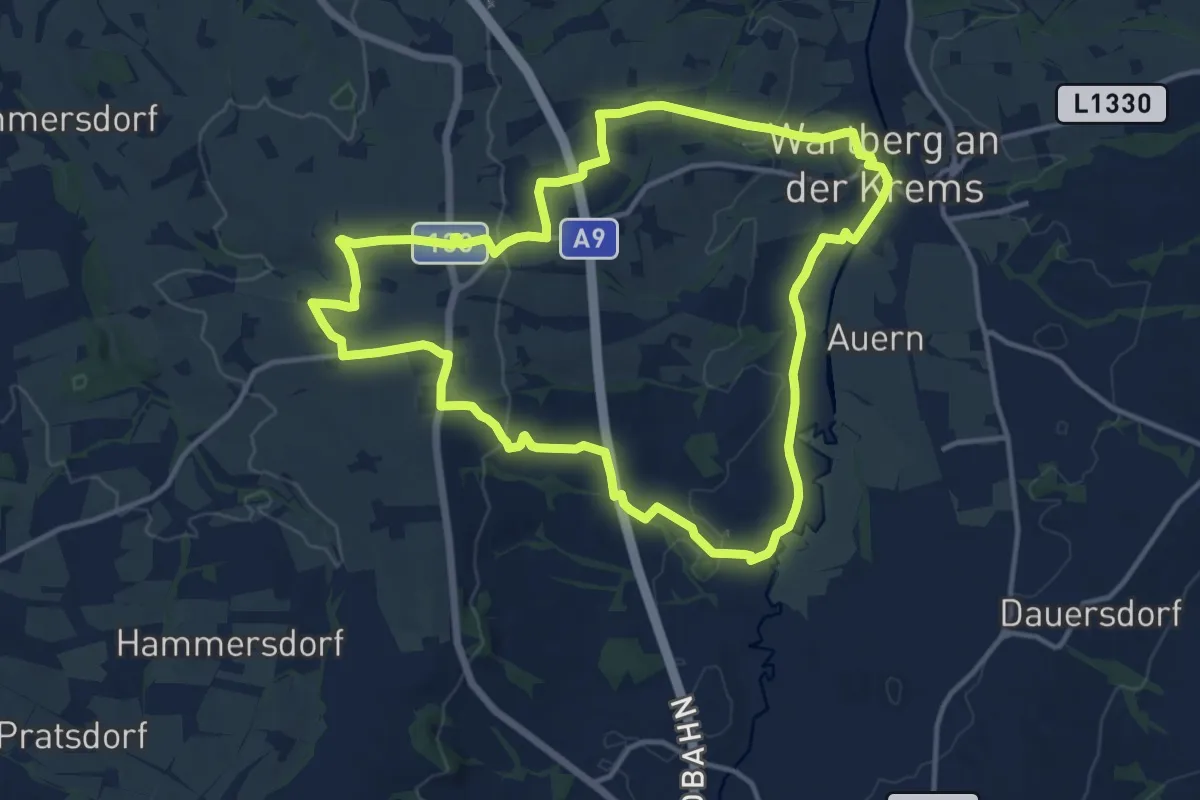
Medium · Trail
RW Strinzing
13.3 km · ↑ 210 m · 3 h 47 min
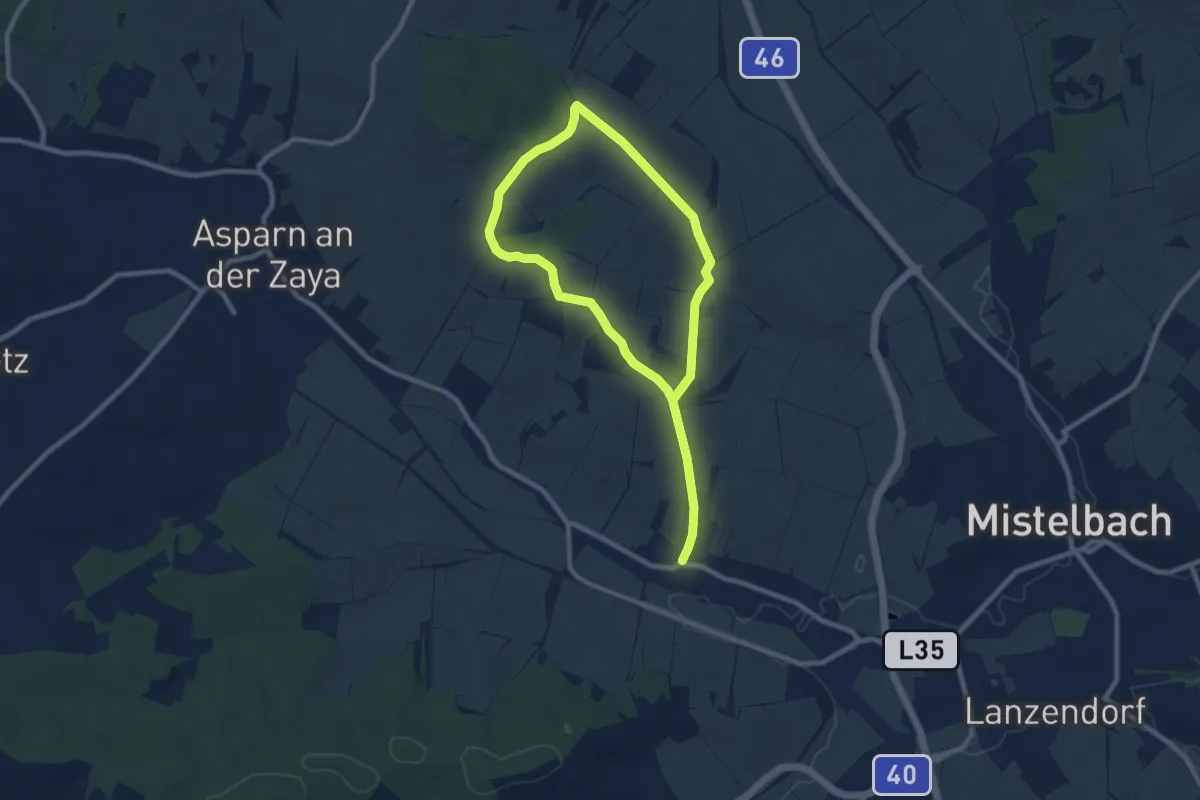
Medium · Trail
RWW Rosental-Kuchlholz
13.3 km · ↑ 188 m · 3 h 33 min
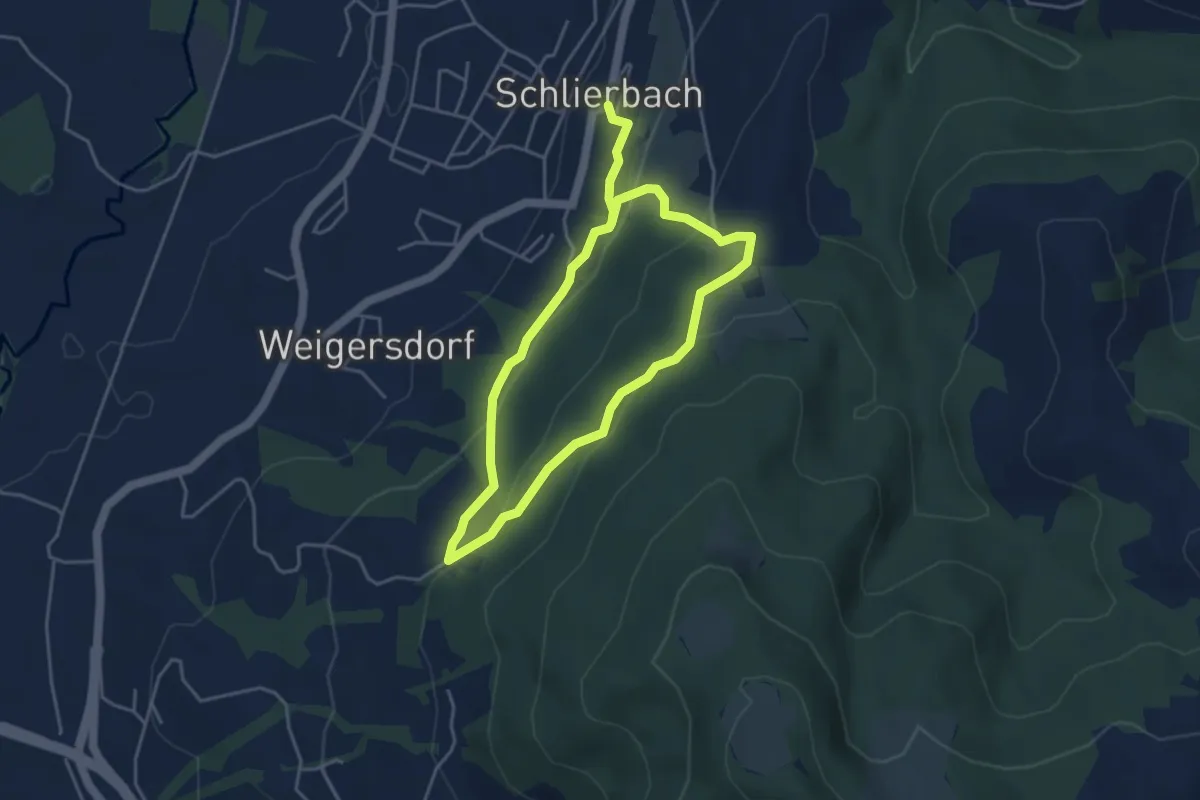
Easy · Trail
RW Zeisl
7.0 km · ↑ 238 m · 2 h 10 min
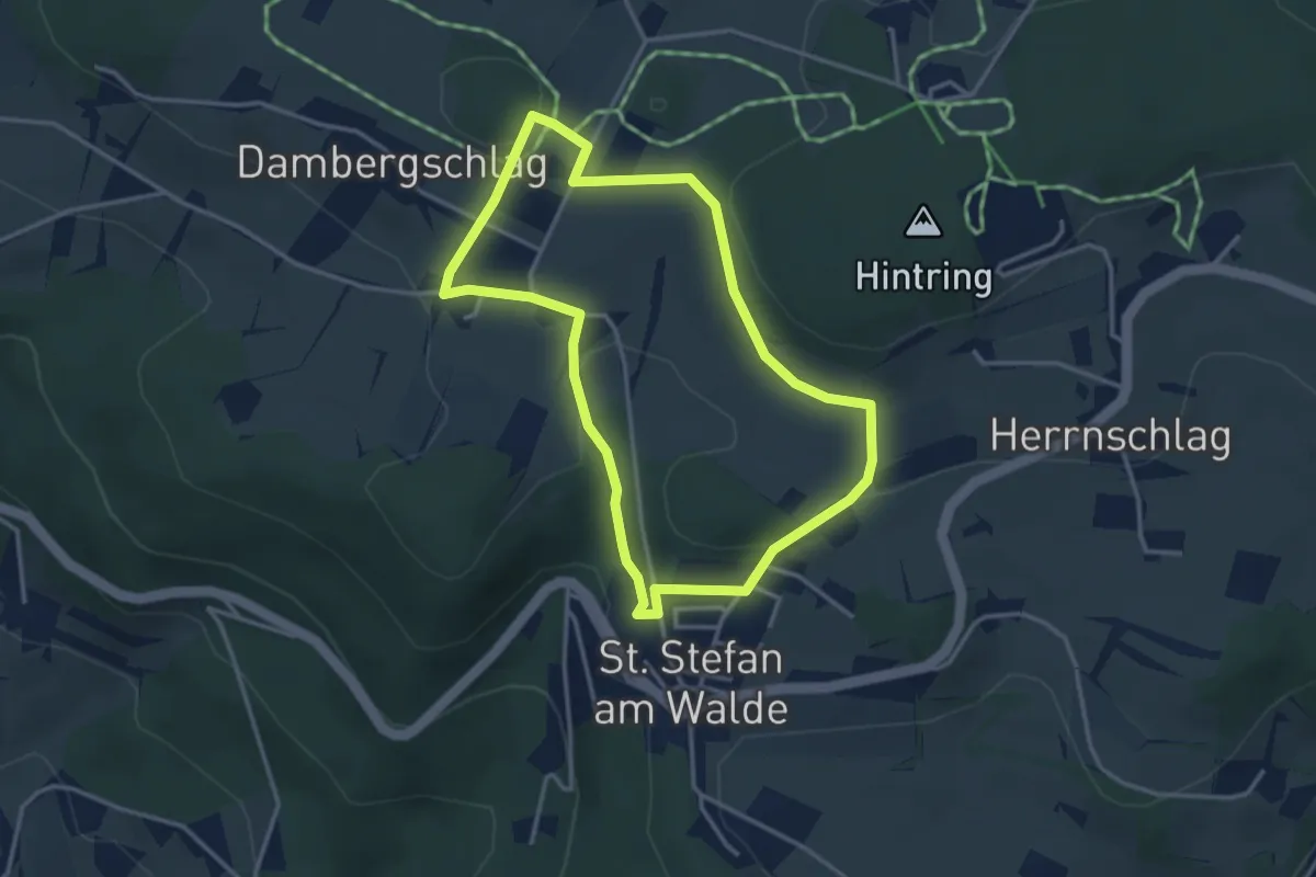
Easy · Trail
S12 Natursafari Weg
3.2 km · ↑ 89 m · 1 h
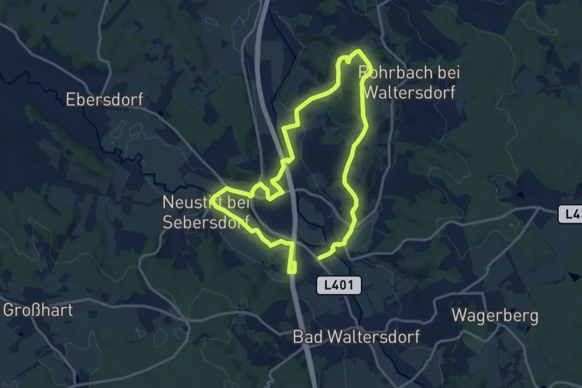
Medium · Trail
S1 Berg- und Tal Rundwanderweg
10.0 km · ↑ 114 m · 2 h 45 min
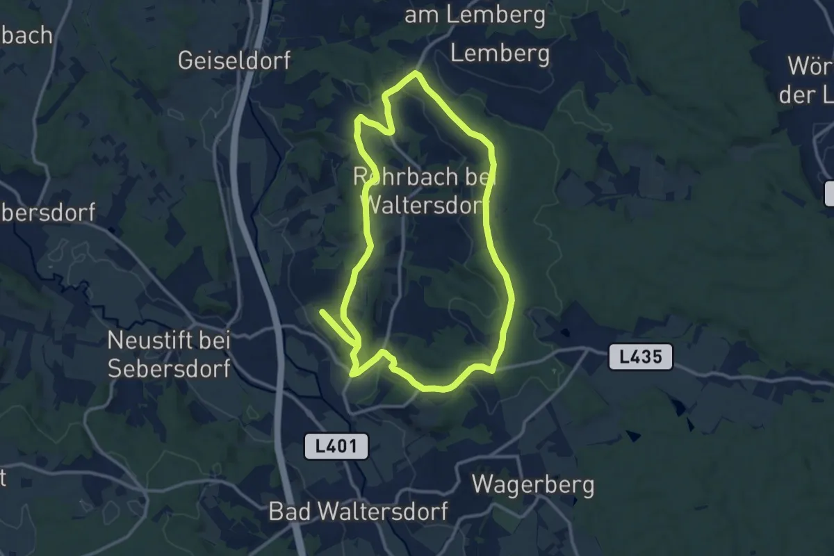
Medium · Trail
S2 Hügelland Weg
11.4 km · ↑ 179 m · 3 h 14 min
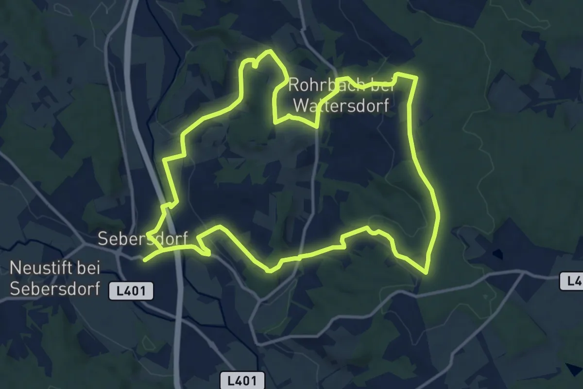
Medium · Trail
S3 Sebersdorfberg Weg
11.7 km · ↑ 230 m · 3 h 26 min
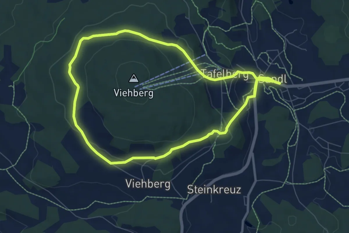
Medium · Trail
S6 Viehberg Rundweg
13.8 km · ↑ 323 m · 3 h 57 min
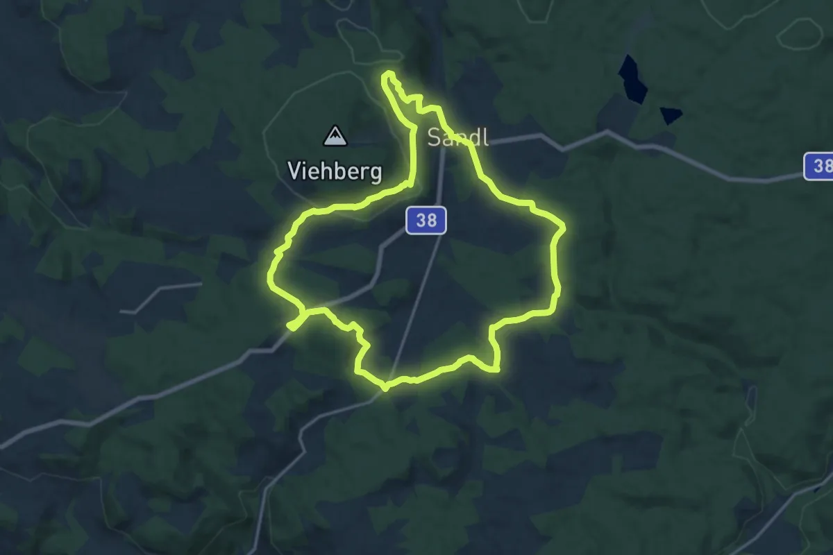
Medium · Trail
S8 Sternguckerweg
14.6 km · ↑ 239 m · 4 h 10 min
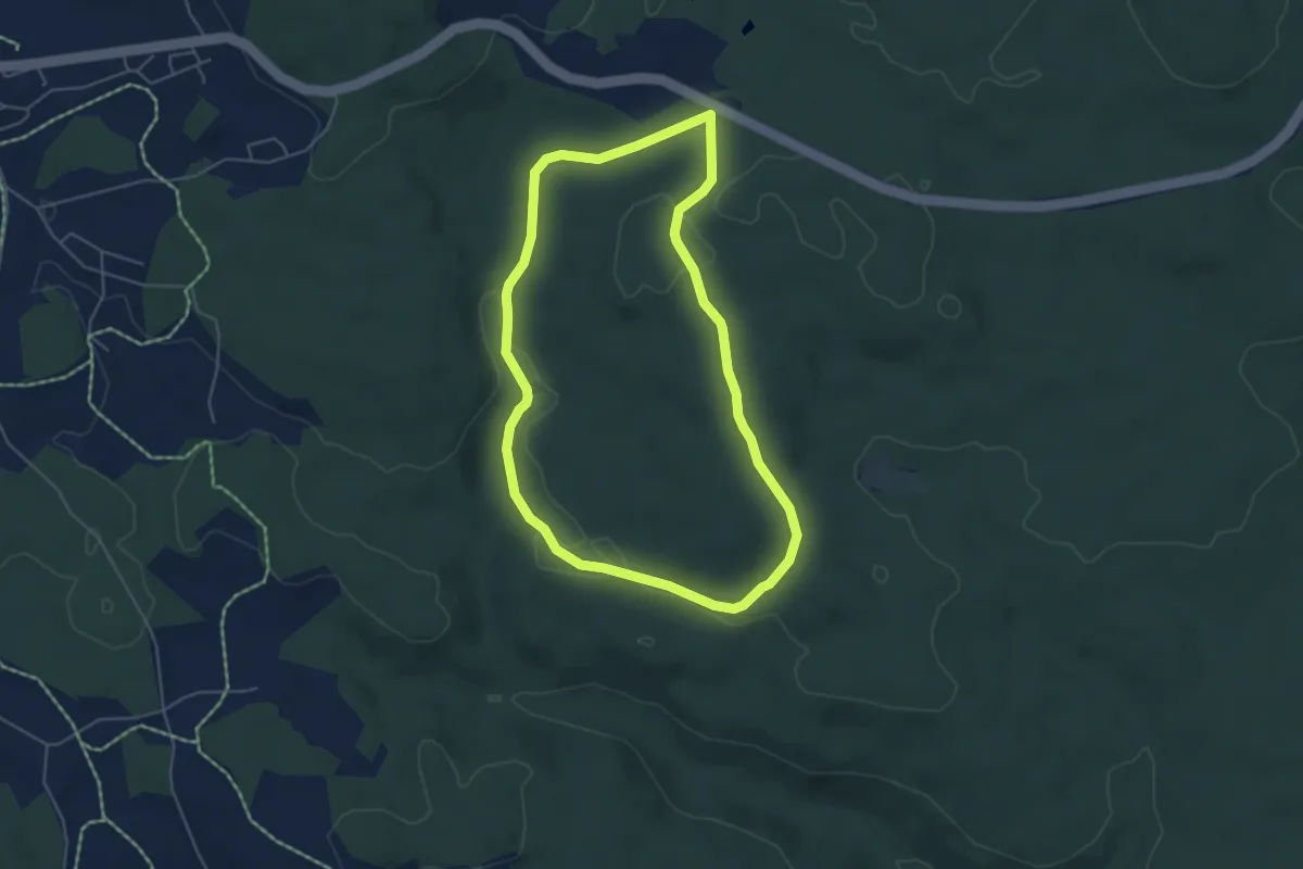
Easy · Trail
S9 Meditionsweg
4.7 km · ↑ 63 m · 1 h 18 min
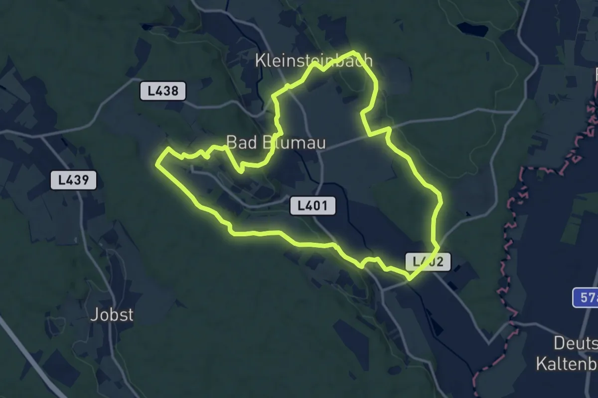
Medium · Trail
Safentalweg
12.7 km · ↑ 133 m · 3 h 27 min
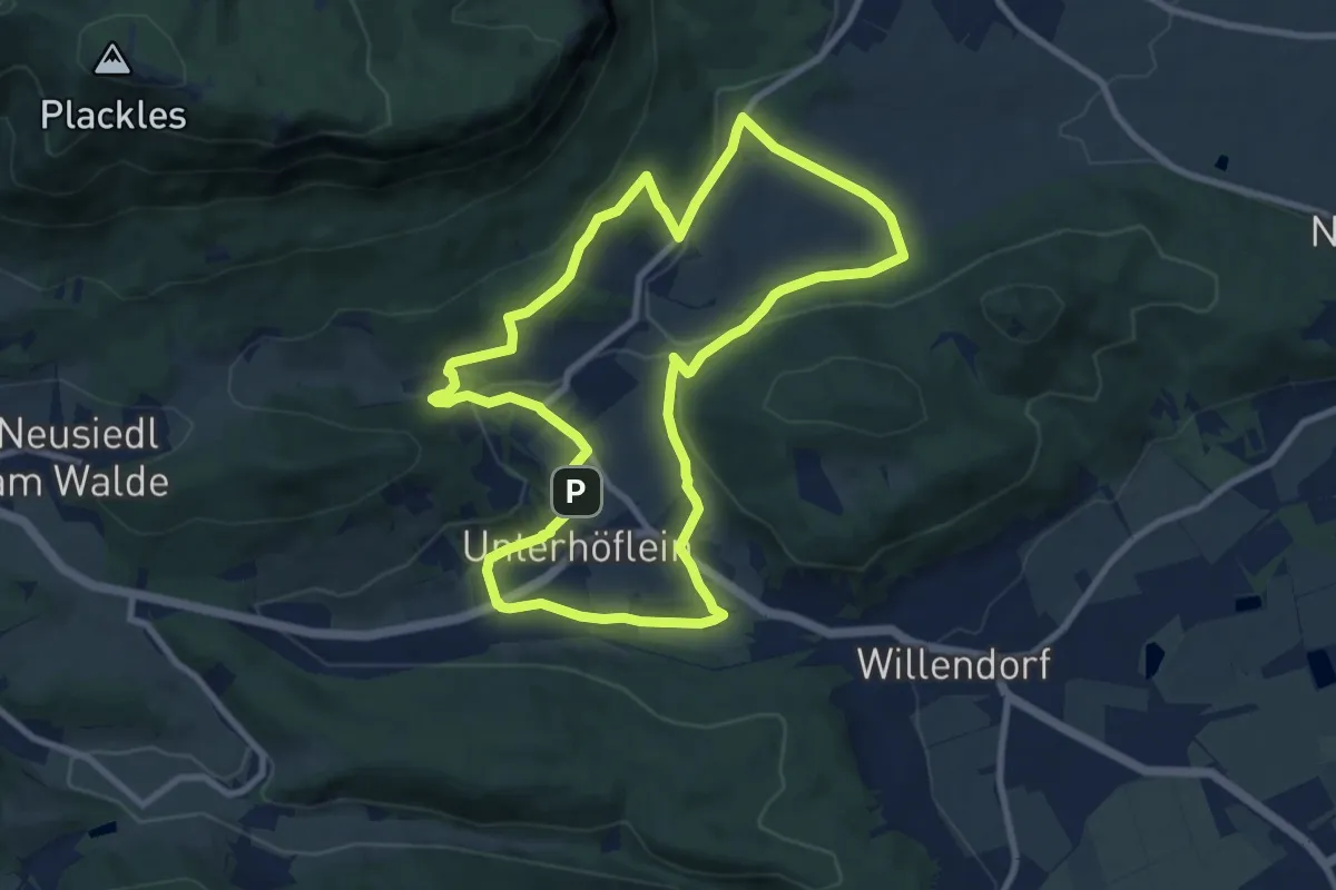
Medium · Trail
Saft+Kraft Runde
8.9 km · ↑ 216 m · 2 h 42 min
Medium · Trail
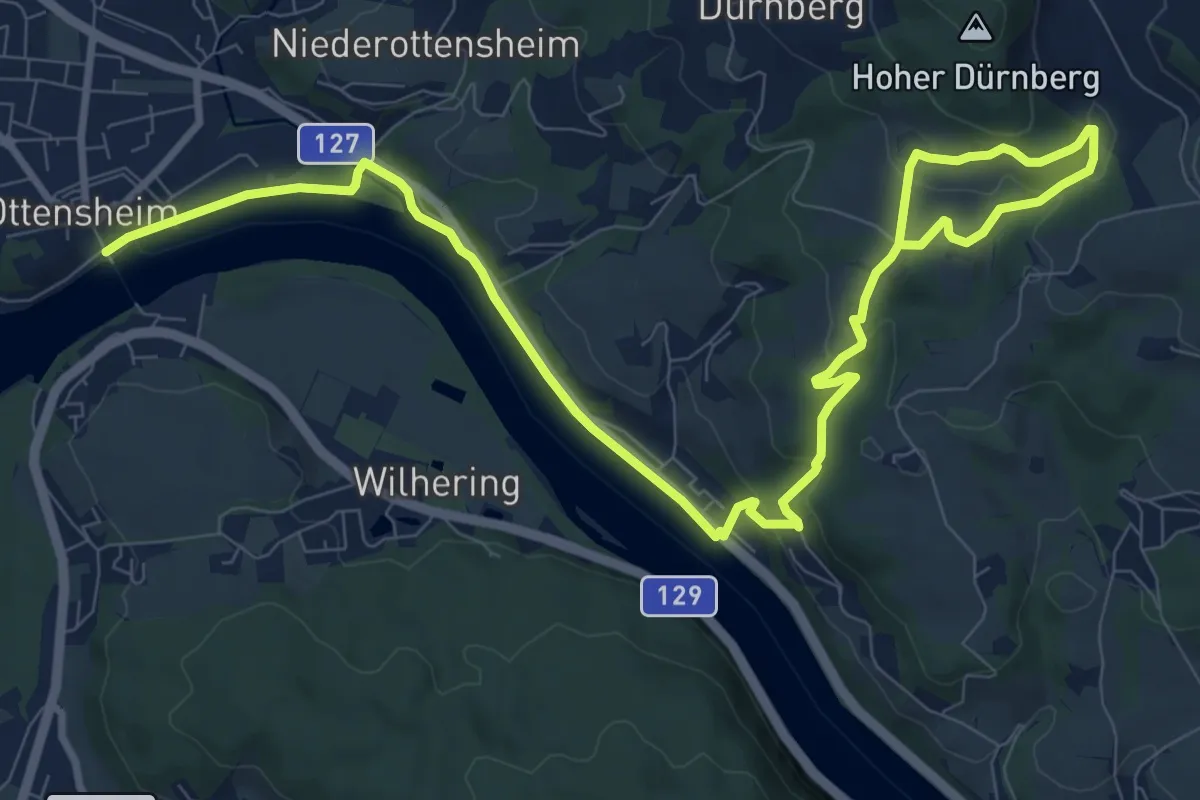
Sagbach-Runde
13.1 km · ↑ 302 m · 3 h 45 min
Medium · Trail
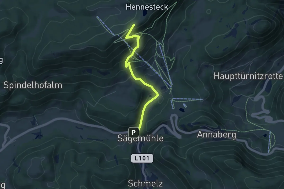
Sägemühle - Hennesteck
5.4 km · ↑ 433 m · 2 h 12 min
Medium · Trail
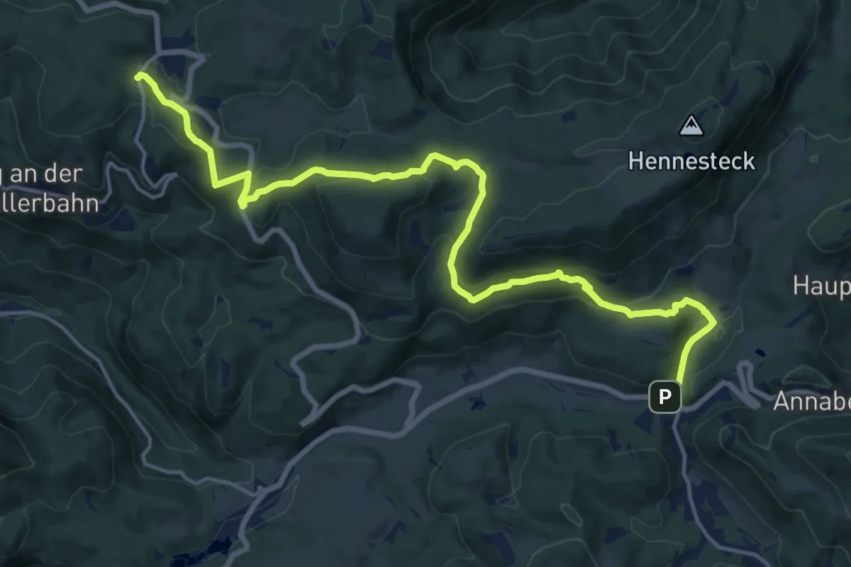
Sägemühle - Wastl am Wald
17.4 km · ↑ 687 m · 5 h 35 min
Easy · Summit
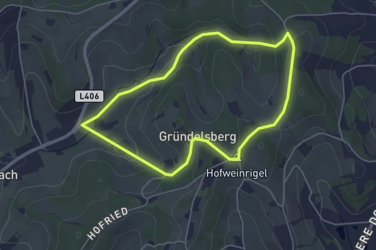
Sagenerlebnisweg (Limbach)
3.7 km · ↑ 77 m · 1 h 6 min
Easy · Trail
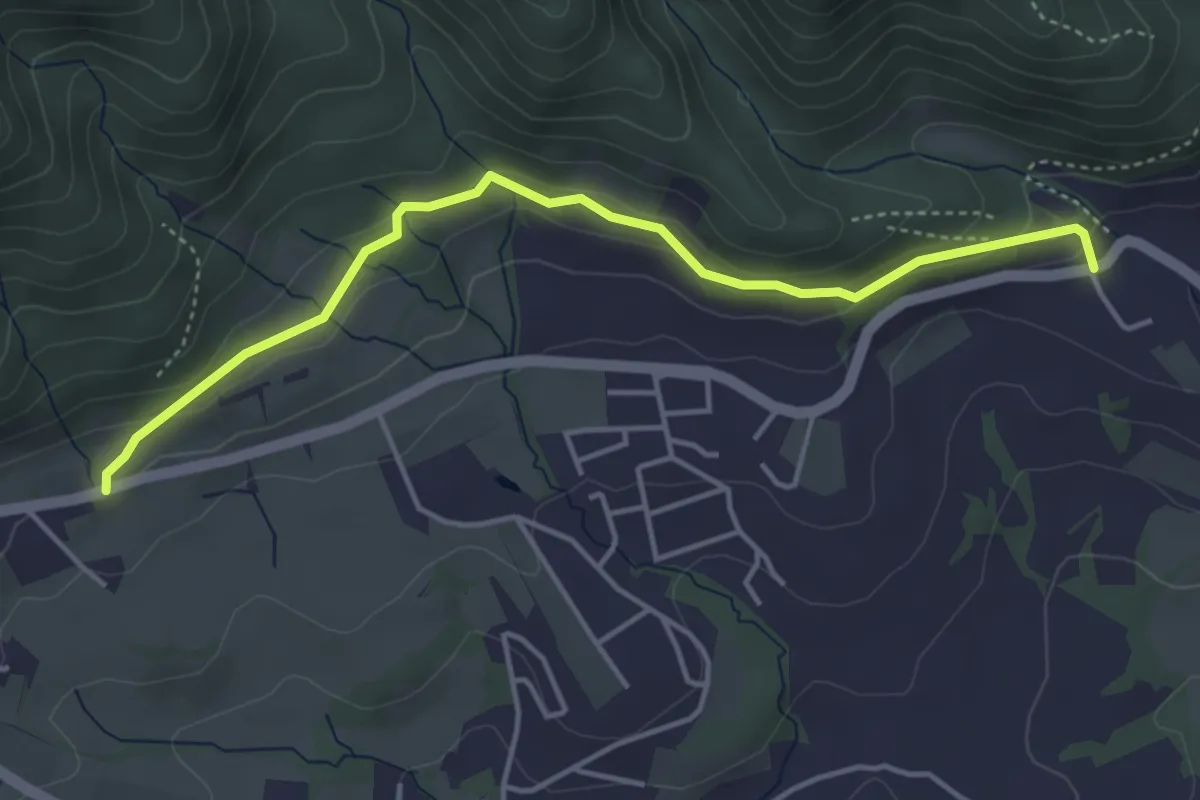
Sagenhafter Römerweg
4.4 km · ↑ 99 m · 1 h 14 min
Easy · Trail
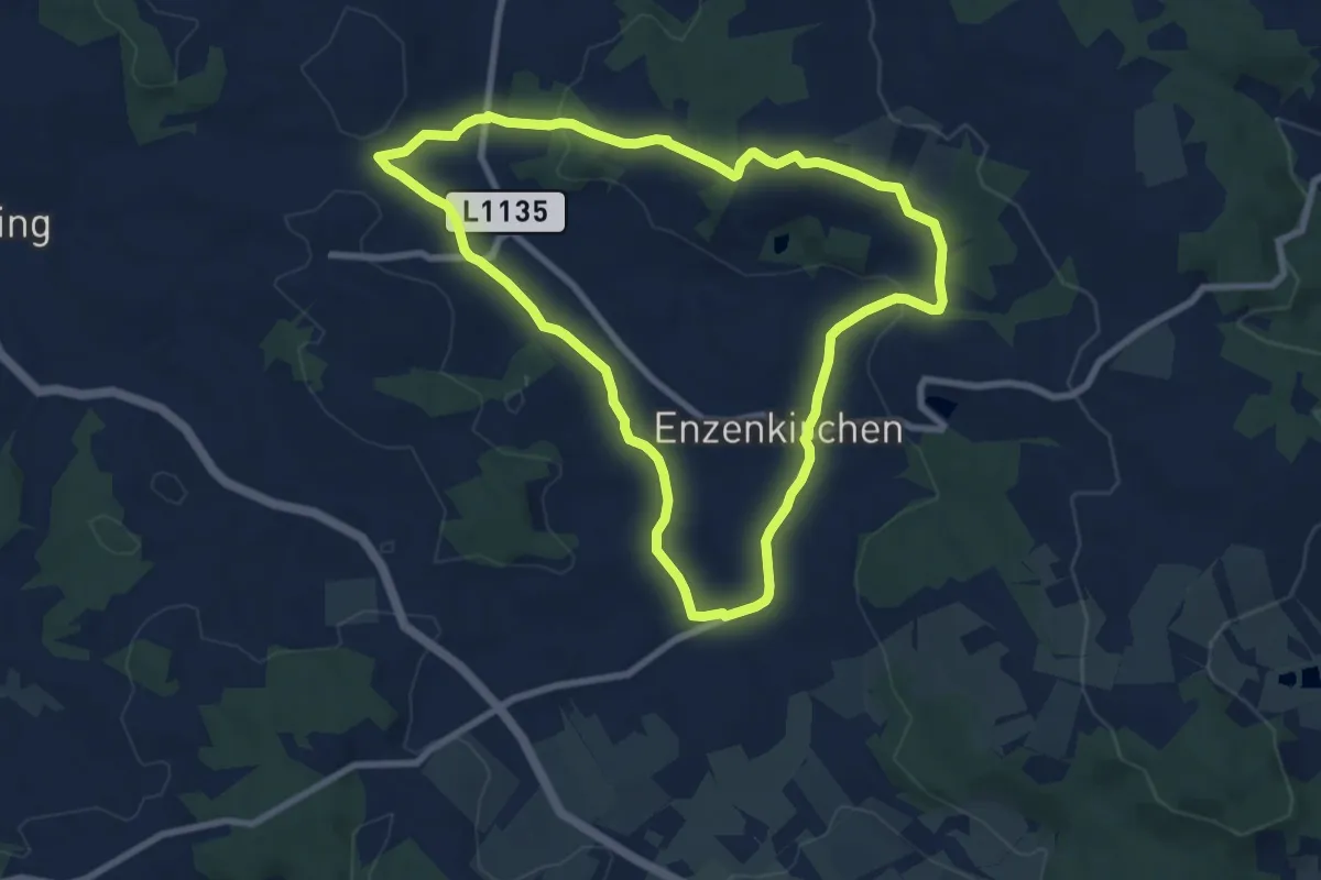
Sagenhaftes Witrauntal
7.9 km · ↑ 184 m · 2 h 23 min
Medium · Trail
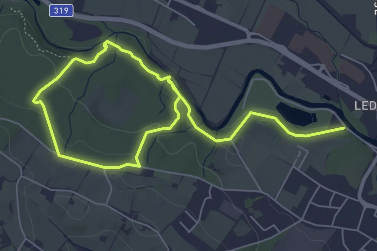
Sagenpfad
7.6 km · ↑ 182 m · 2 h 11 min
Medium · Trail
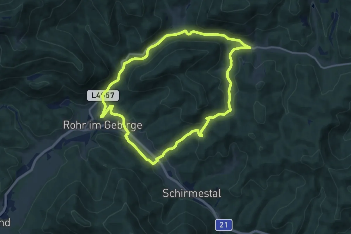
Sagenumwobener Tümpflweg
9.1 km · ↑ 205 m · 2 h 43 min