Trails in Austria
9,777 hiking trails, each with its route, climb, walking time and grade.
All trails, page 102 of 204
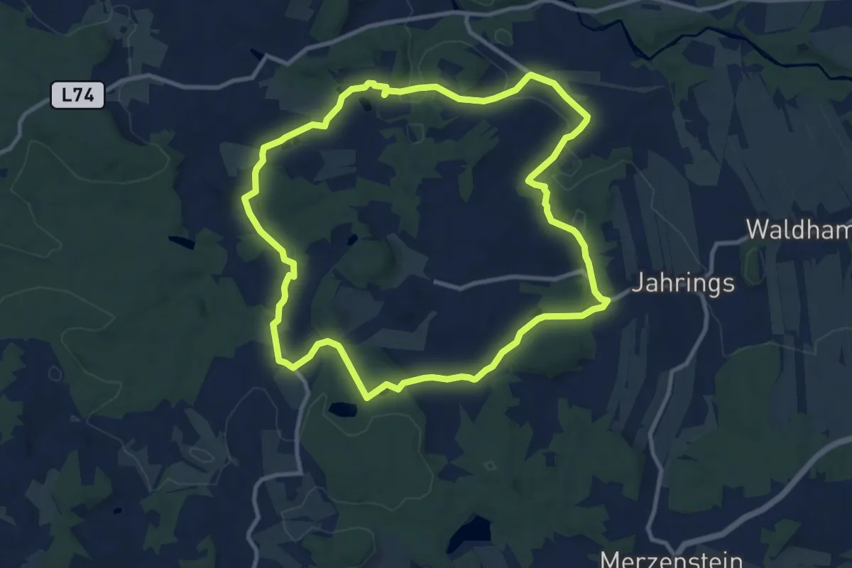
Medium · Trail
Schloß Rosenau Rundwanderweg
9.6 km · ↑ 215 m · 2 h 52 min
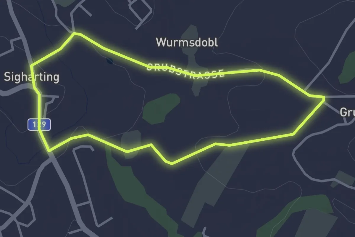
Easy · Trail
Schlossrunde
2.8 km · ↑ 41 m · 46 min
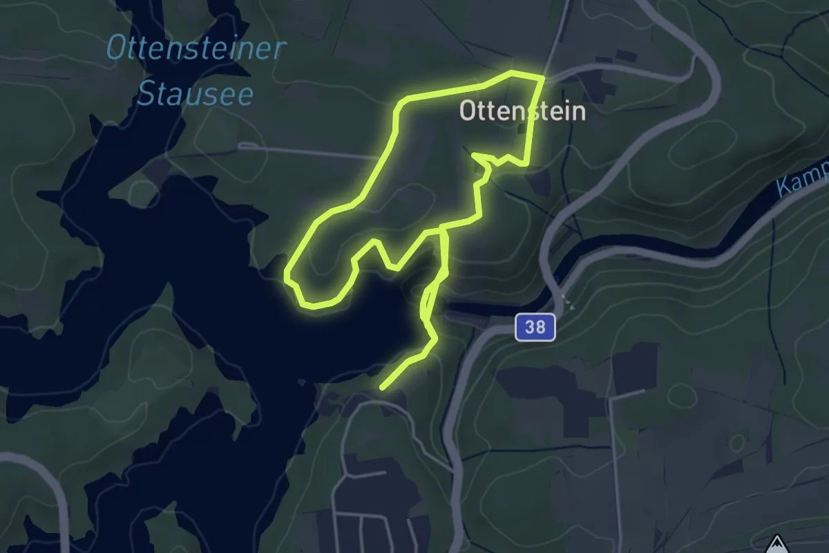
Easy · Trail
Schloßrunde tut gut Wanderweg Route 1
4.1 km · ↑ 144 m · 1 h 19 min
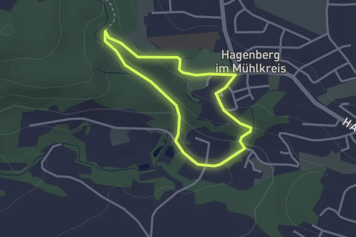
Easy · Trail
Schloss-Rundweg (52)
2.0 km · ↑ 70 m · 39 min
Medium · Trail
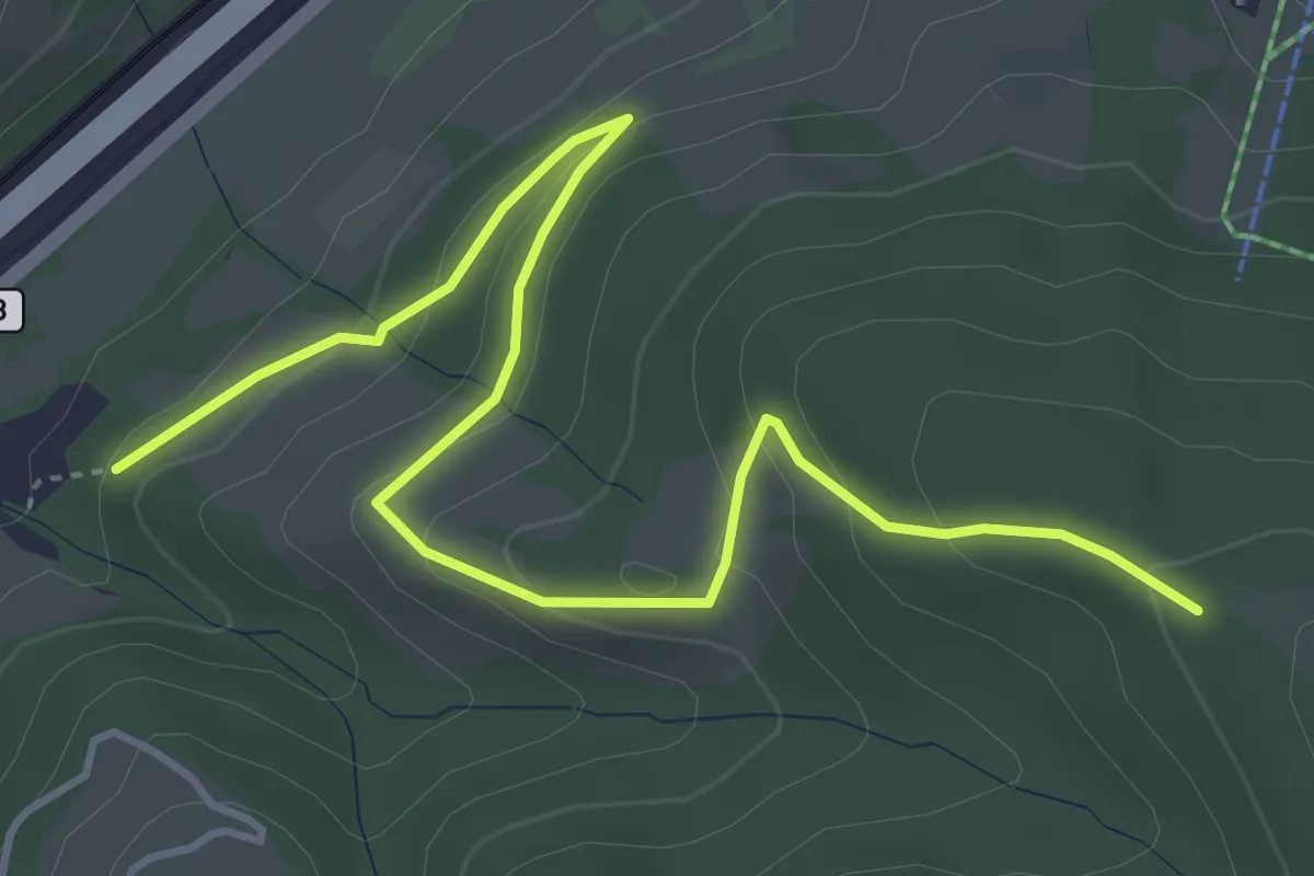
Schloss Sommerau - Rotes Kreuz
5.1 km · ↑ 214 m · 1 h 40 min
Medium · Trail
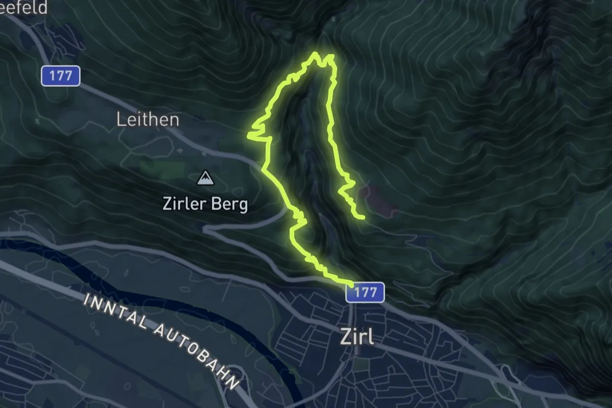
Schlosssteig
10.9 km · ↑ 768 m · 4 h 14 min
Easy · Trail
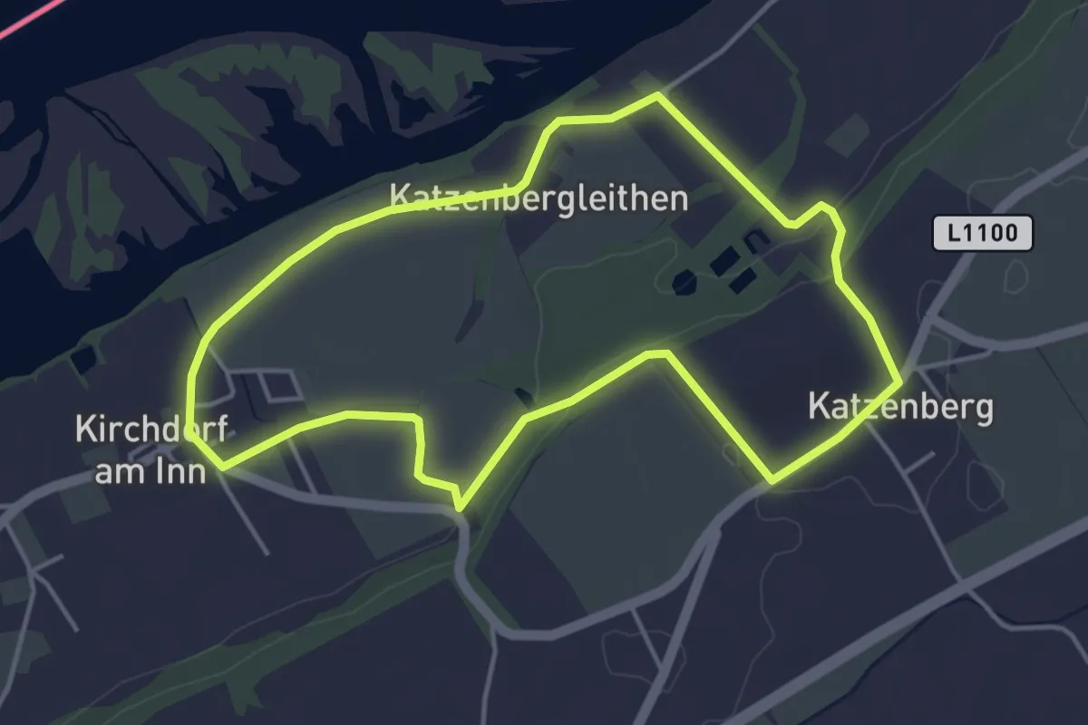
Schlosswanderweg
4.0 km · ↑ 32 m · 1 h 5 min
Medium · Trail
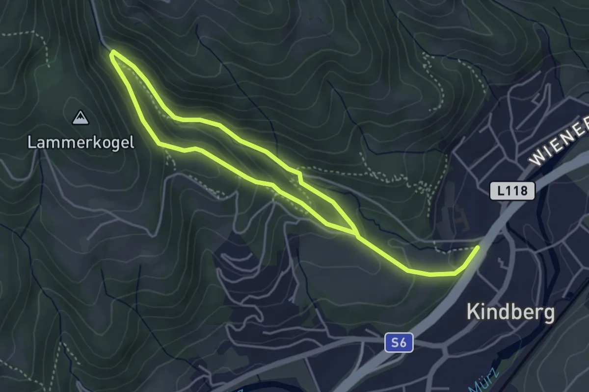
Schlossweg
3.3 km · ↑ 157 m · 1 h 8 min
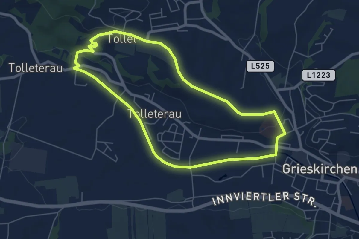
Easy · Trail
Schloßweg
4.9 km · ↑ 59 m · 1 h 22 min
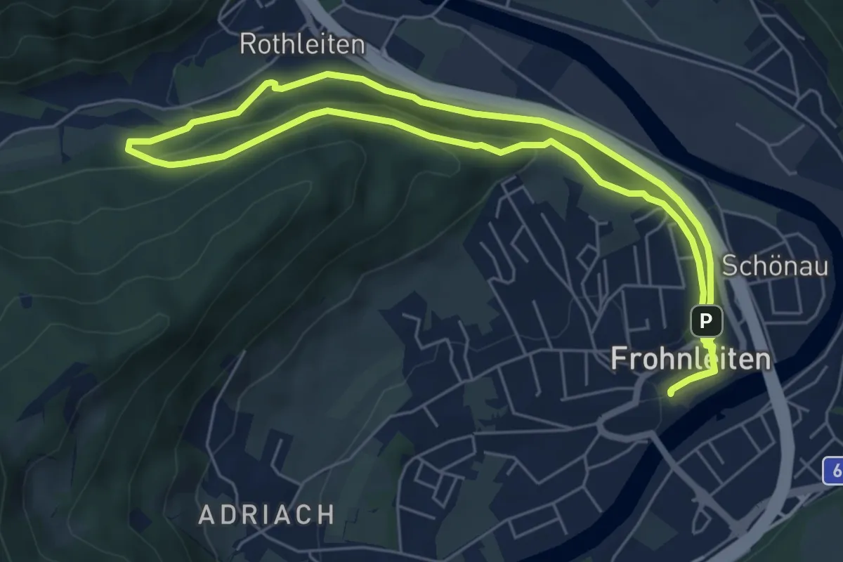
Easy · Trail
Schloss Weyer
5.8 km · ↑ 113 m · 1 h 41 min
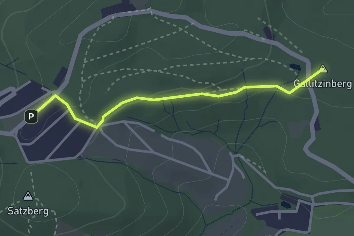
Easy · Summit
Schloss Wilhelminenberg - Hütteldorf/Satzberg
2.4 km · ↑ 71 m · 43 min
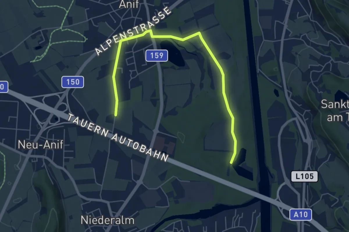
Easy · Trail
Schlosswirt zu Anif Runde
3.1 km · ↑ 0 m · 47 min
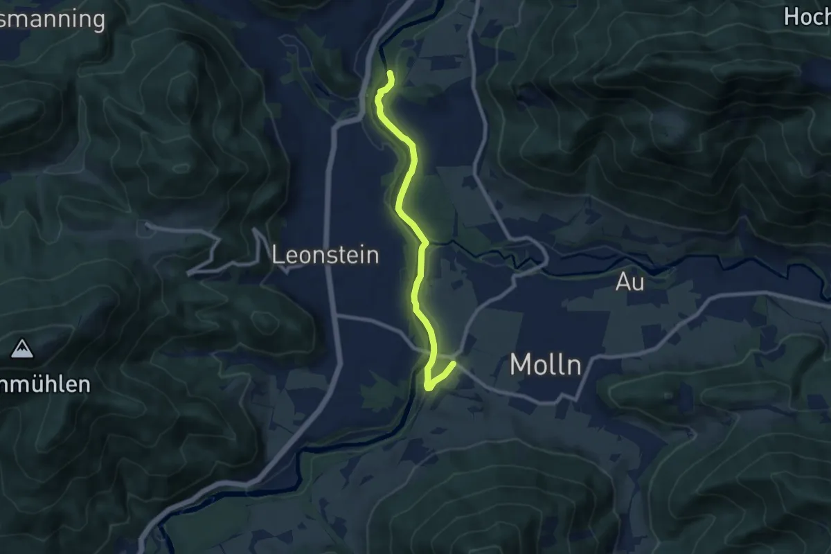
Medium · Trail
Schluchtweg
7.1 km · ↑ 172 m · 2 h 3 min
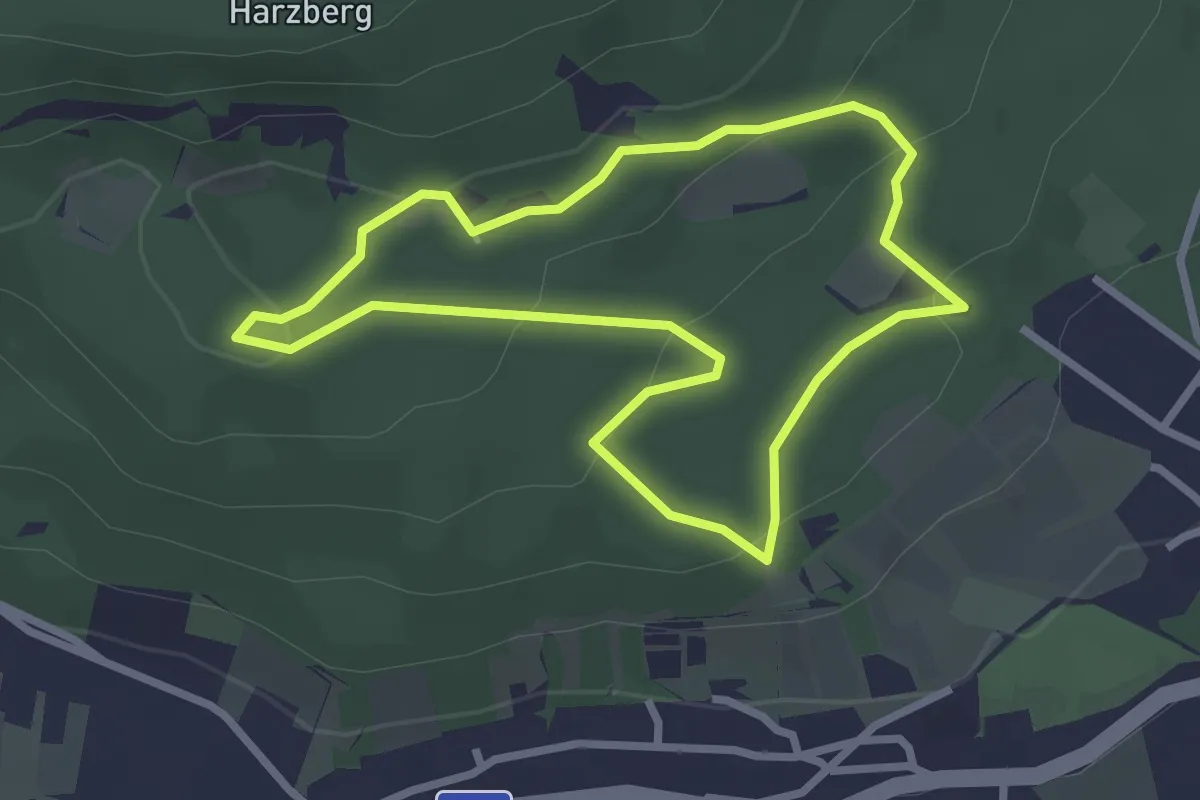
Medium · Summit
Schlumberger Fitnessparcours
2.5 km · ↑ 79 m · 48 min
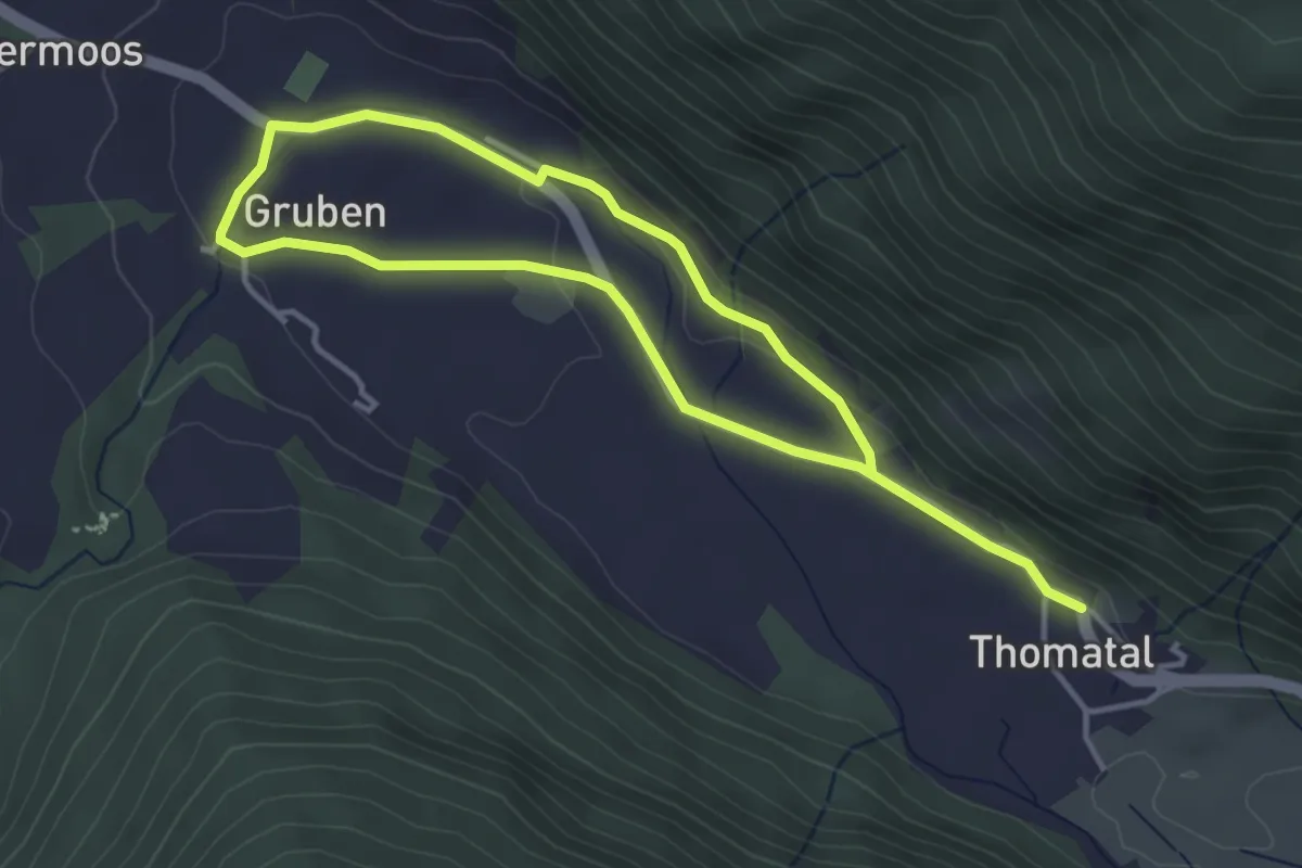
Easy · Trail
Schmalzerrundweg
6.2 km · ↑ 81 m · 1 h 38 min
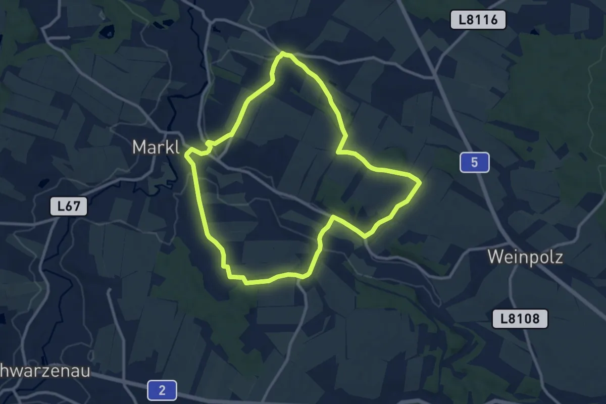
Medium · Trail
Schmankerlrunde 51
8.7 km · ↑ 151 m · 2 h 30 min
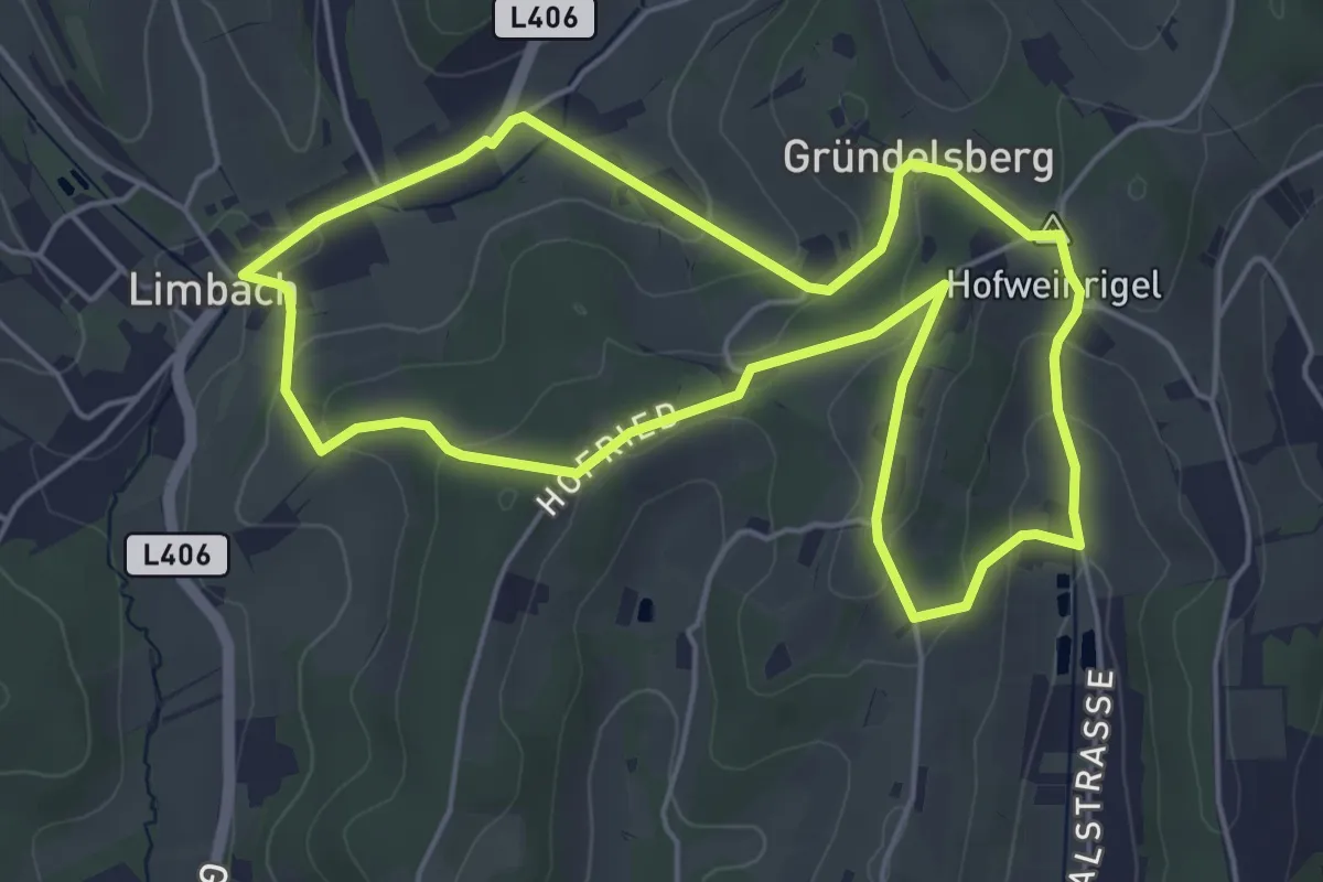
Easy · Summit
Schmankerlrunde (Limbach)
5.1 km · ↑ 154 m · 1 h 36 min
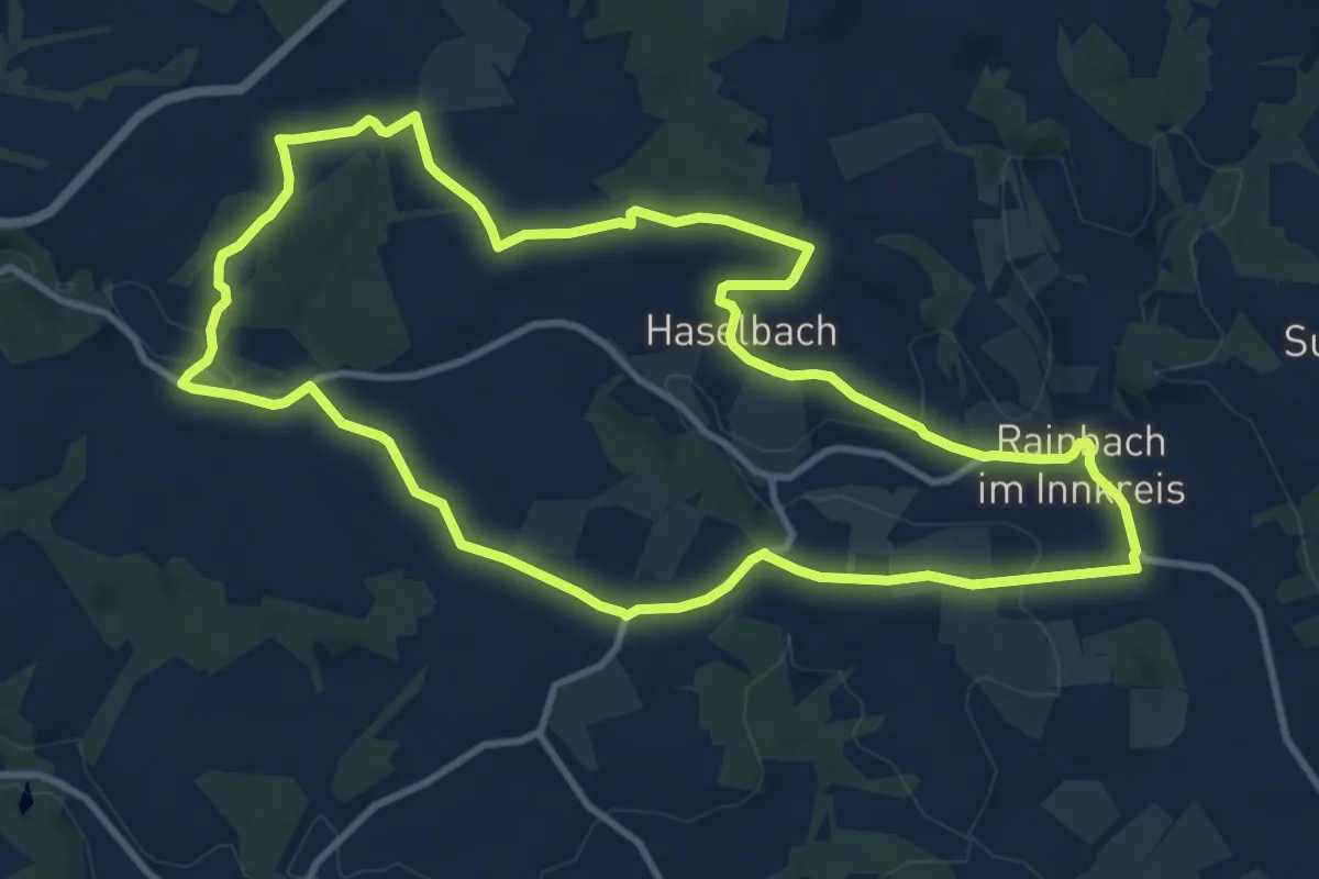
Medium · Trail
Schmankerlweg
11.0 km · ↑ 226 m · 3 h 14 min
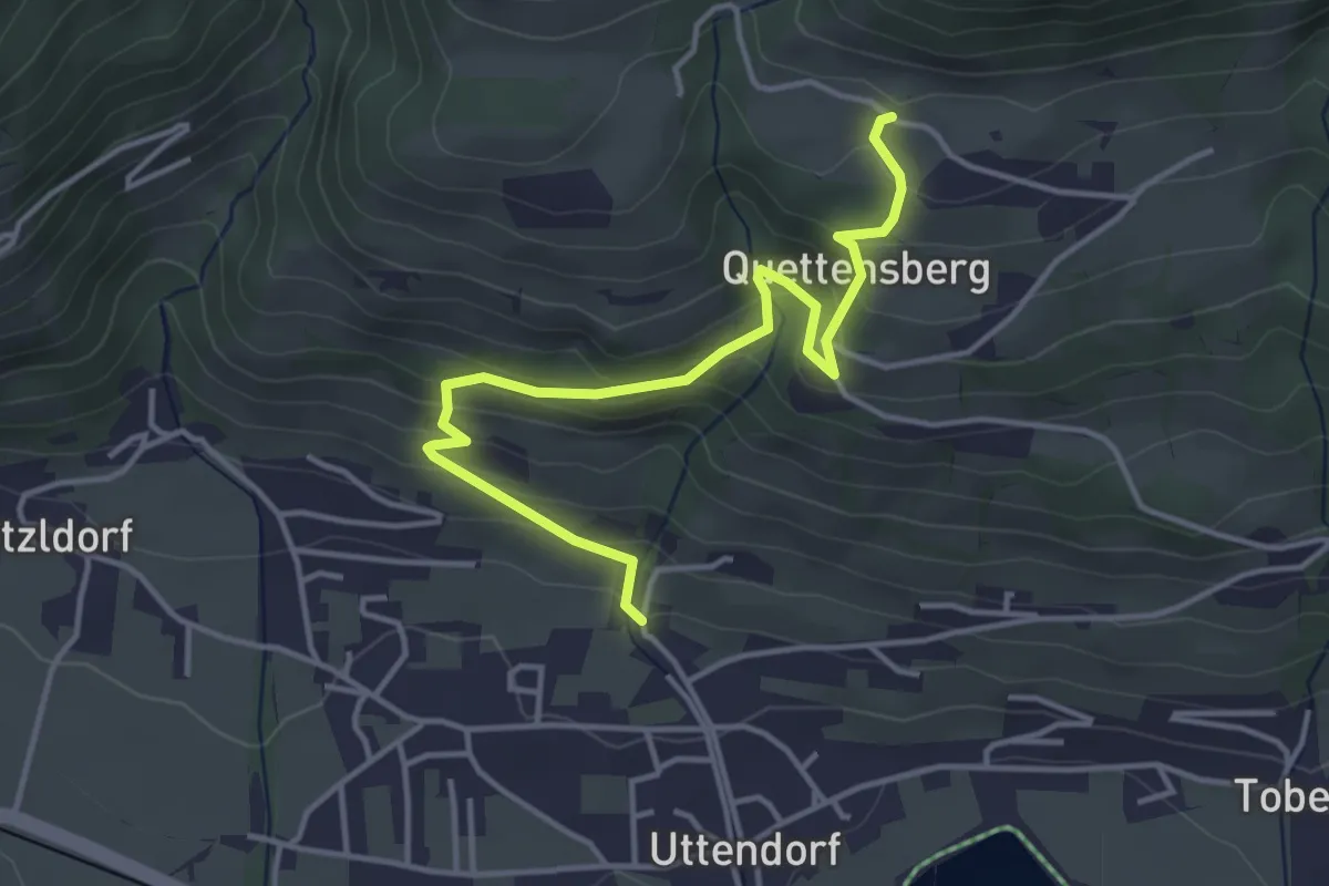
Easy · Trail
Schmetterlingslehrweg Uttendorf
4.3 km · ↑ 294 m · 1 h 39 min
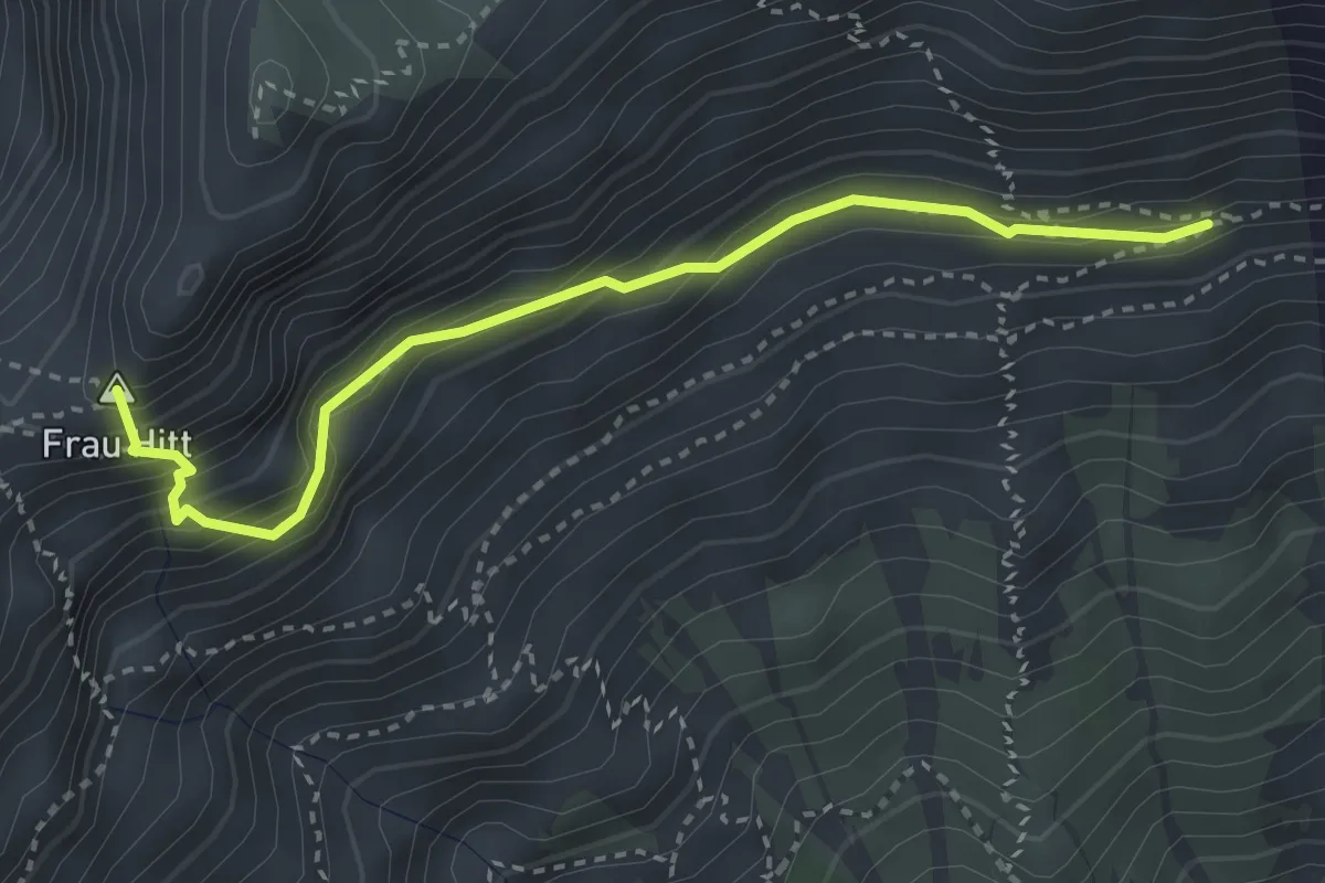
Demanding · Summit
Schmidhubersteig
3.3 km · ↑ 319 m · 1 h 28 min
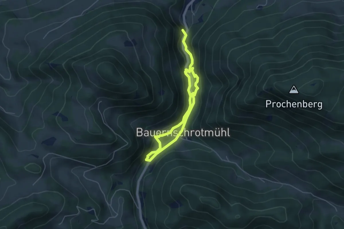
Easy · Summit
Schmiedemeile
6.8 km · ↑ 292 m · 2 h 14 min
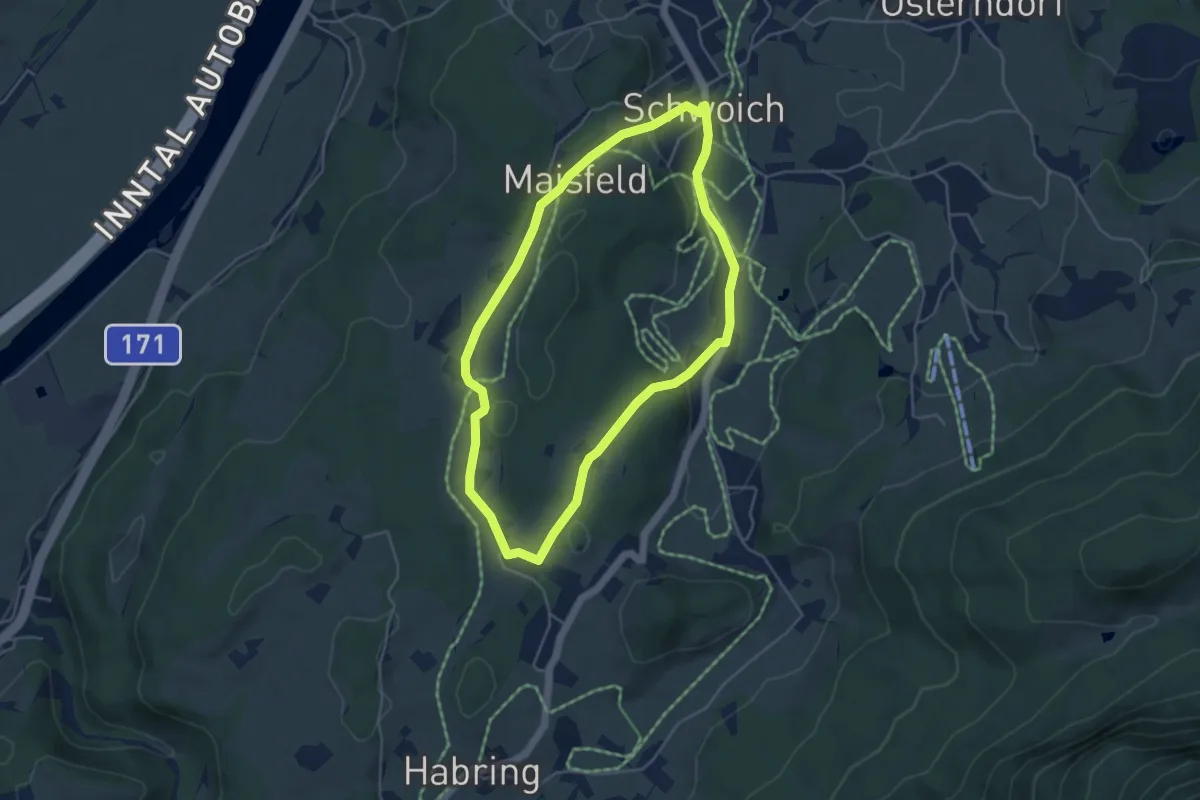
Easy · Trail
Schmieder Runde
4.2 km · ↑ 77 m · 1 h 14 min
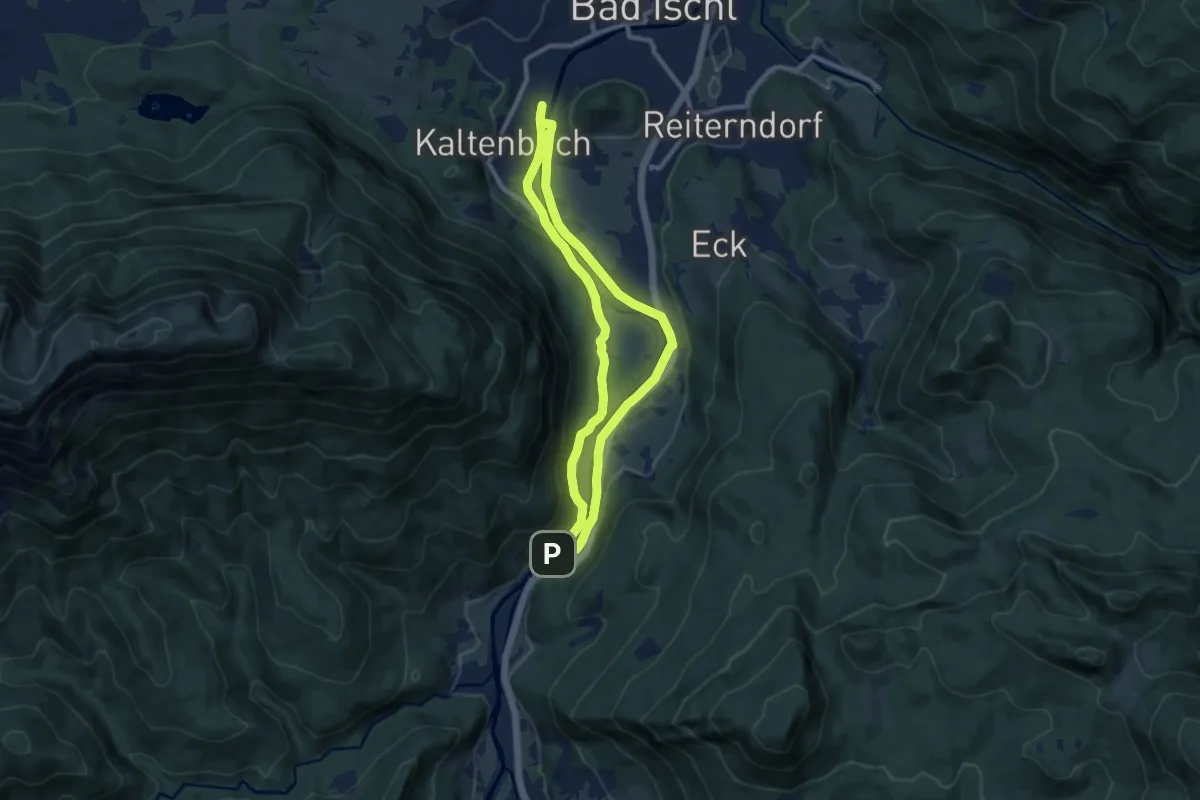
Medium · Trail
Schmied Immo Runde (Lauffen Runde, B5)
8.6 km · ↑ 37 m · 2 h 14 min
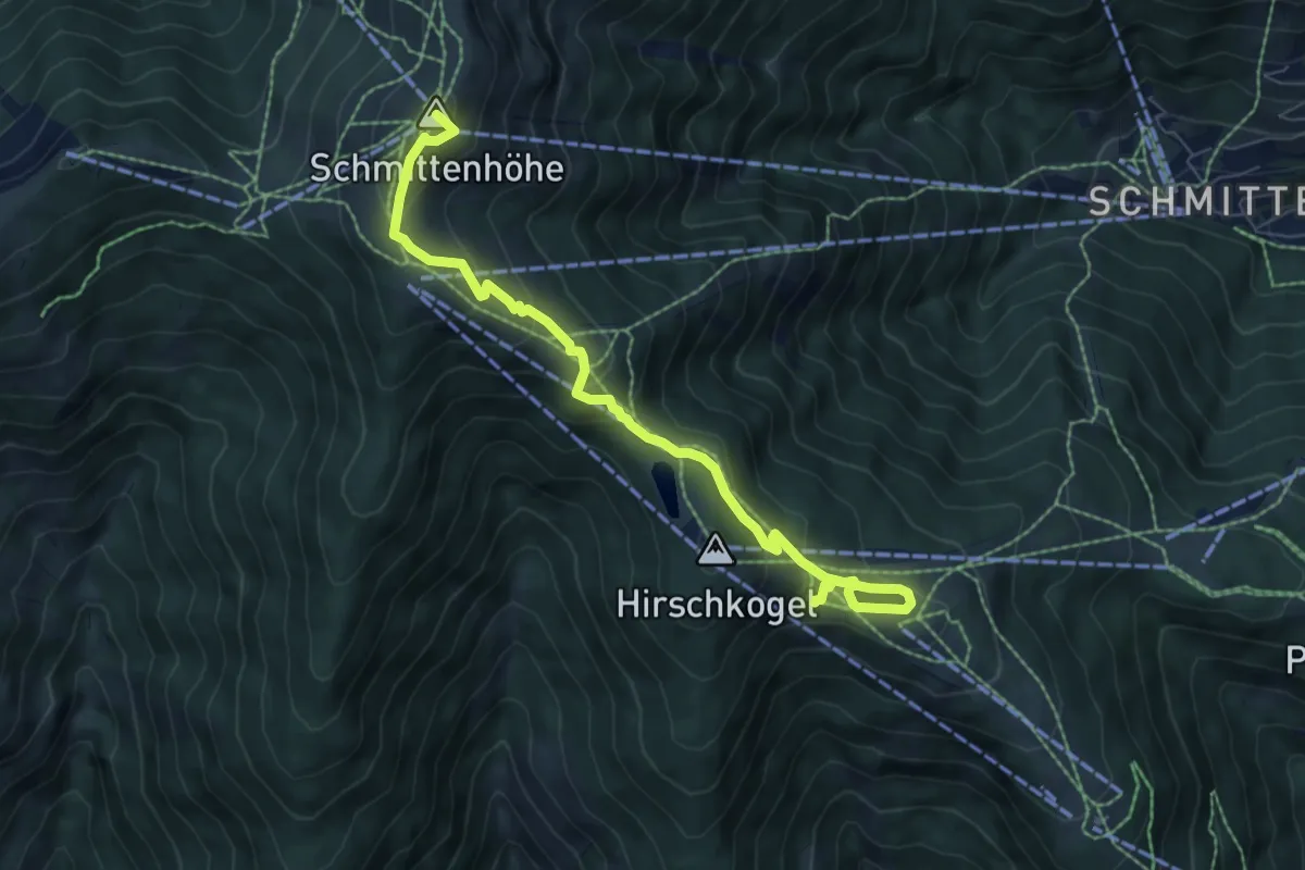
Medium · Summit
Schmittenweg
7.4 km · ↑ 437 m · 2 h 42 min
Medium · Summit
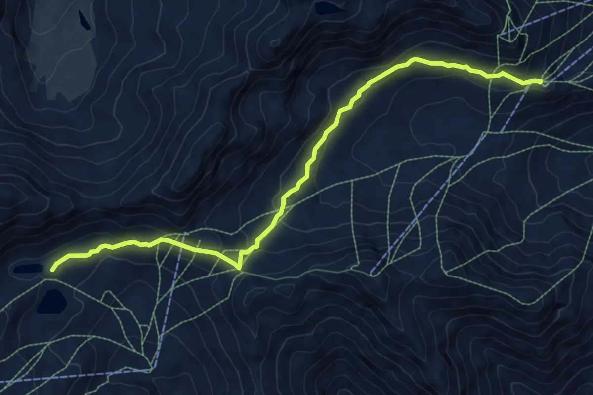
Schmugglersteig
9.1 km · ↑ 358 m · 2 h 56 min
Medium · Trail
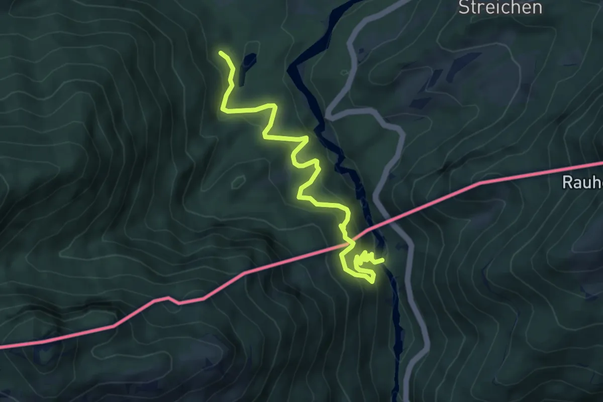
Schmuggler- und Samerweg
6.2 km · ↑ 381 m · 2 h 17 min
Medium · Trail
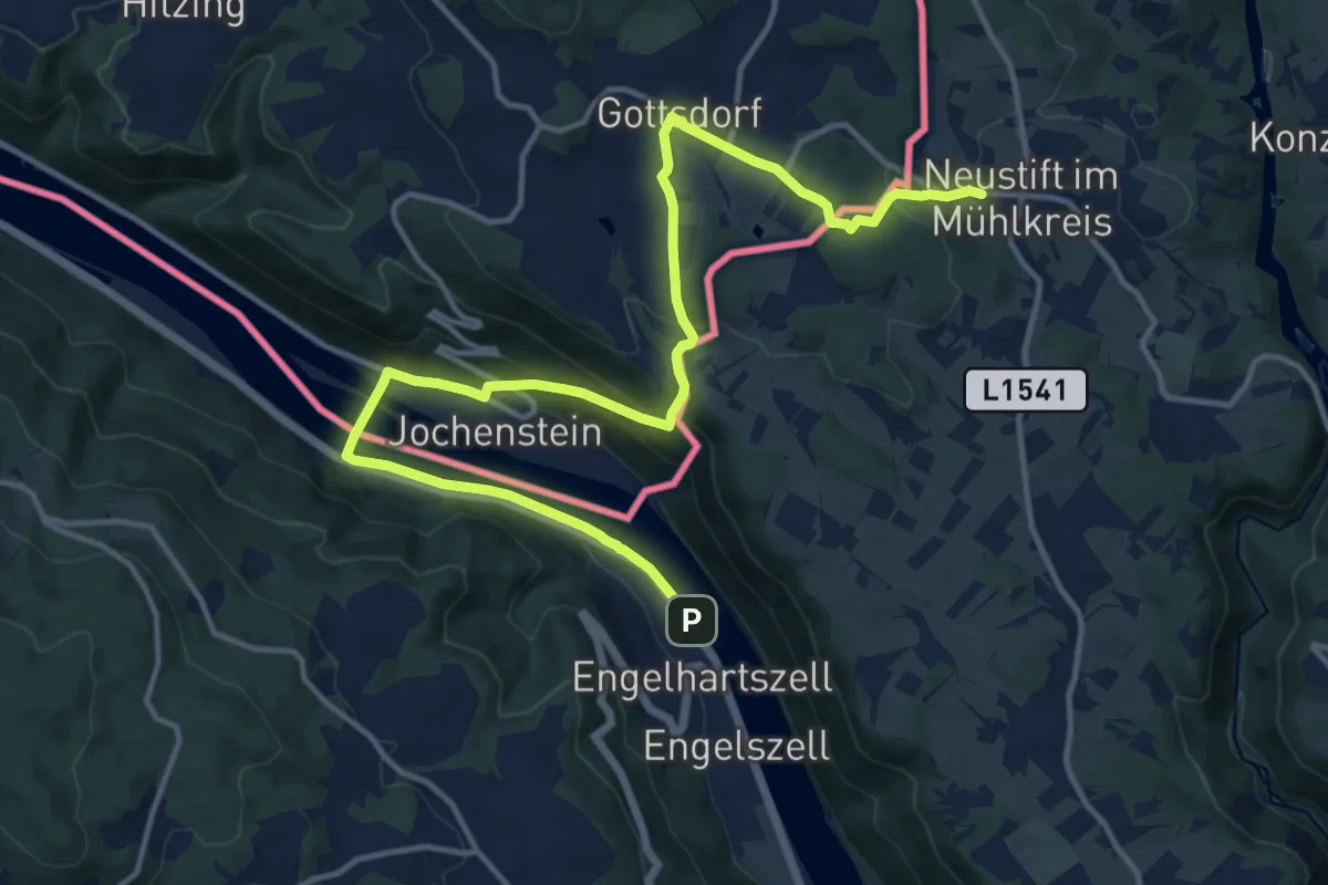
Schmuggler-Wanderung
16.4 km · ↑ 450 m · 4 h 50 min
Easy · Trail
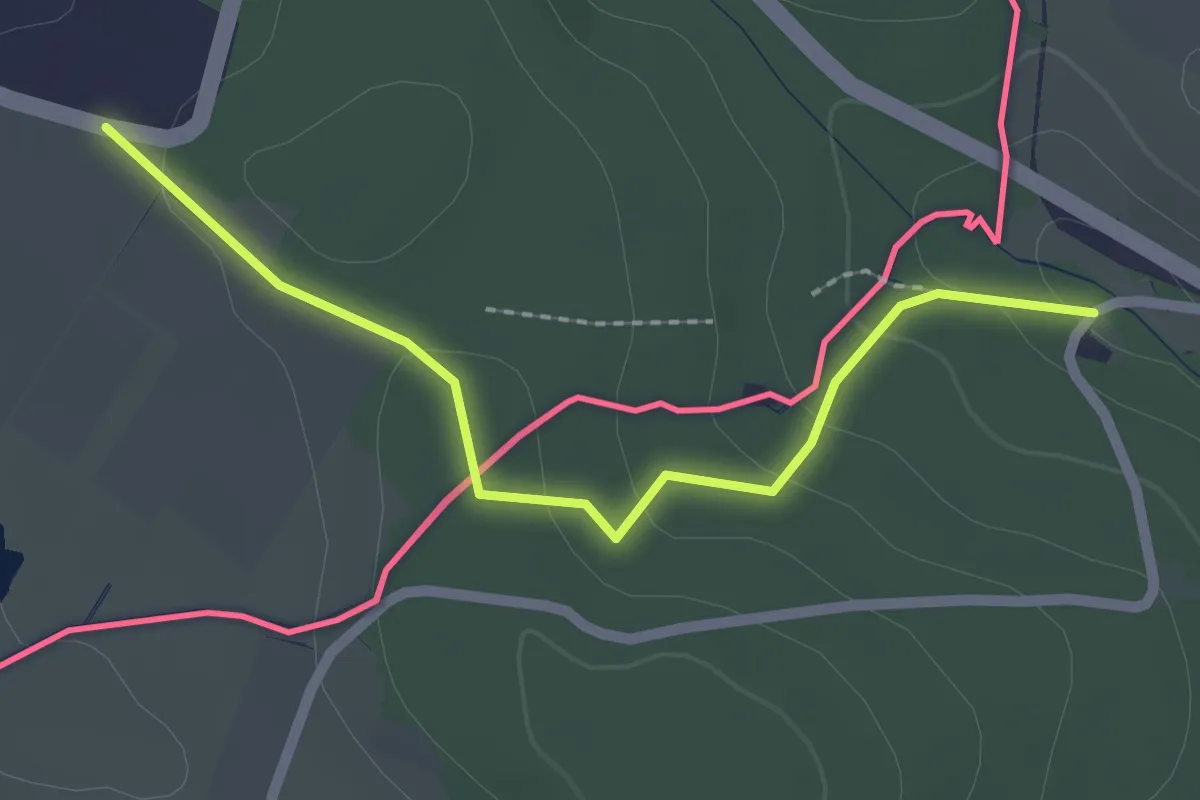
Schmugglerweg
2.1 km · ↑ 61 m · 38 min
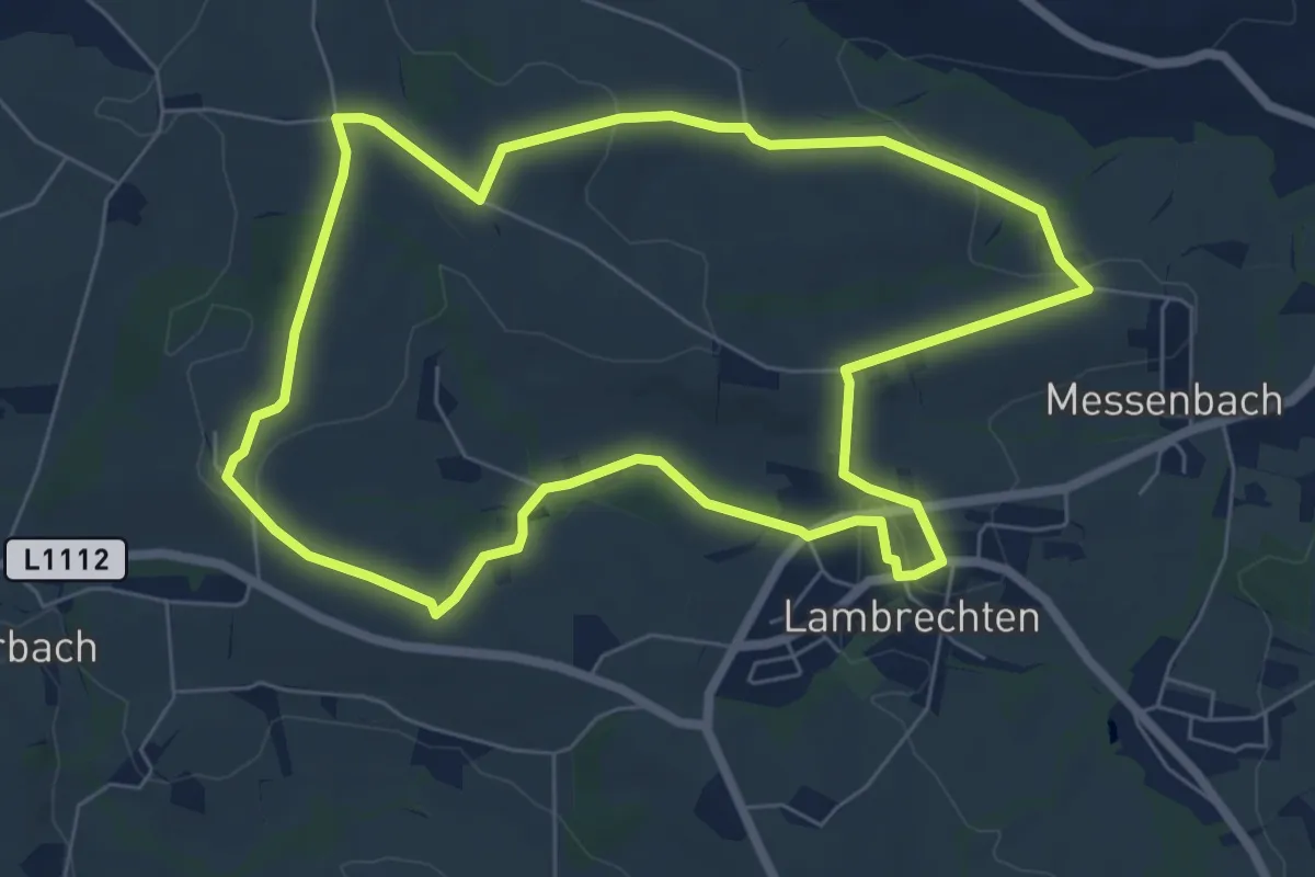
Easy · Trail
Schnatterweg
6.6 km · ↑ 130 m · 1 h 57 min
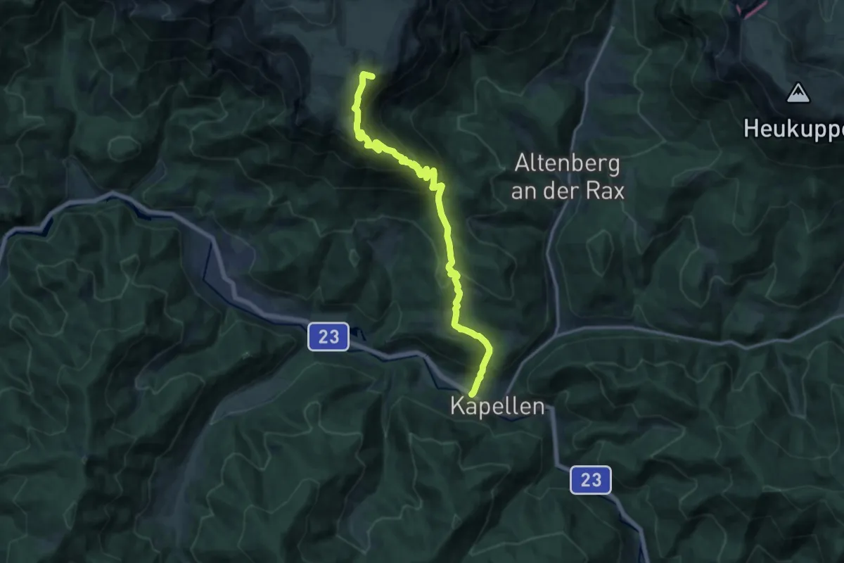
Demanding · Summit
Schneealmweg
14.9 km · ↑ 1089 m · 5 h 53 min
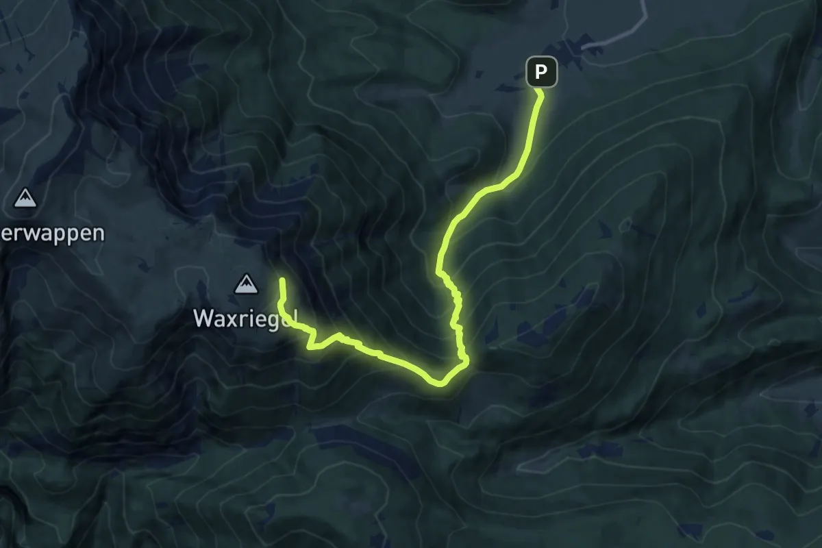
Demanding · Trail
Schneebergdörfl - Bhf. Hochschneeberg
11.4 km · ↑ 1075 m · 5 h 1 min
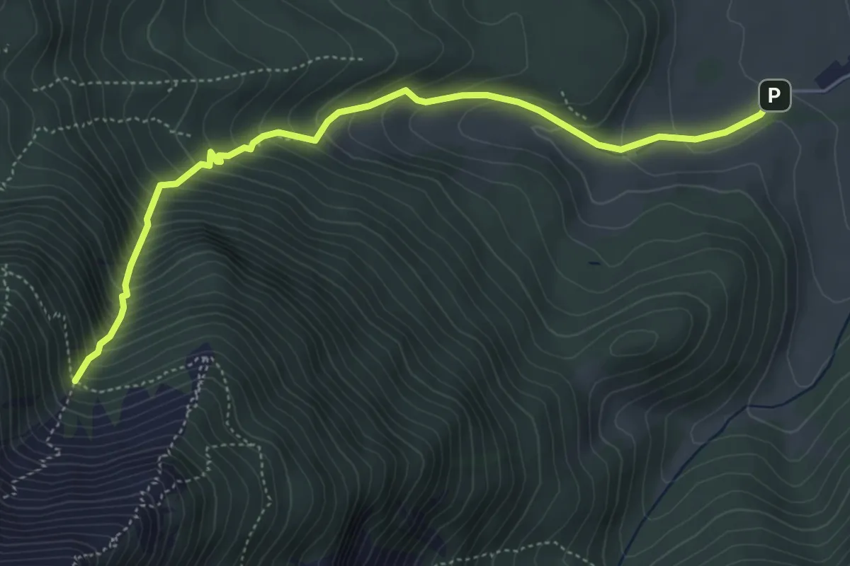
Medium · Trail
Schneebergdörfl - Krzg. Nördllicher Grafensteig
5.3 km · ↑ 599 m · 2 h 33 min
Medium · Cabin
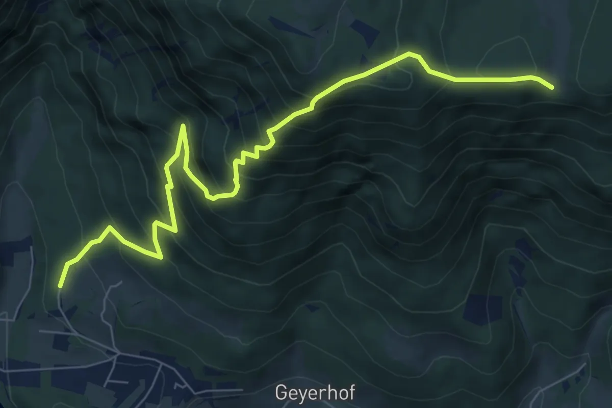
Schneedörfl - Waldburgangerhütte
8.1 km · ↑ 789 m · 3 h 38 min
Medium · Trail
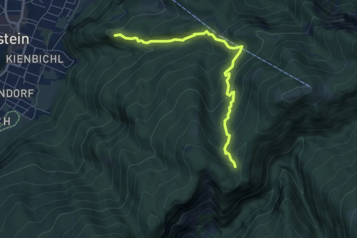
Schneerosenweg
6.2 km · ↑ 413 m · 2 h 22 min
Medium · Summit
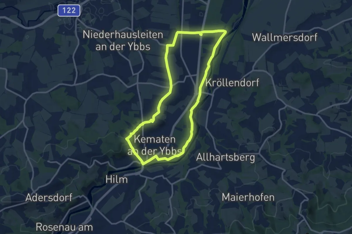
Schneerosenweg
9.7 km · ↑ 84 m · 2 h 37 min
Easy · Trail
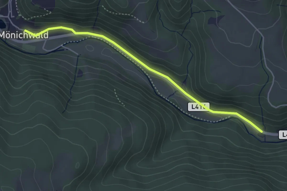
Schneiderweg
4.1 km · ↑ 40 m · 1 h 4 min
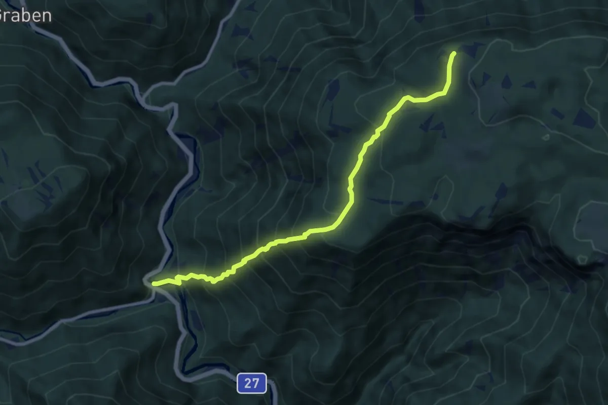
Demanding · Trail
Schnellerwagsteig
8.3 km · ↑ 882 m · 3 h 52 min
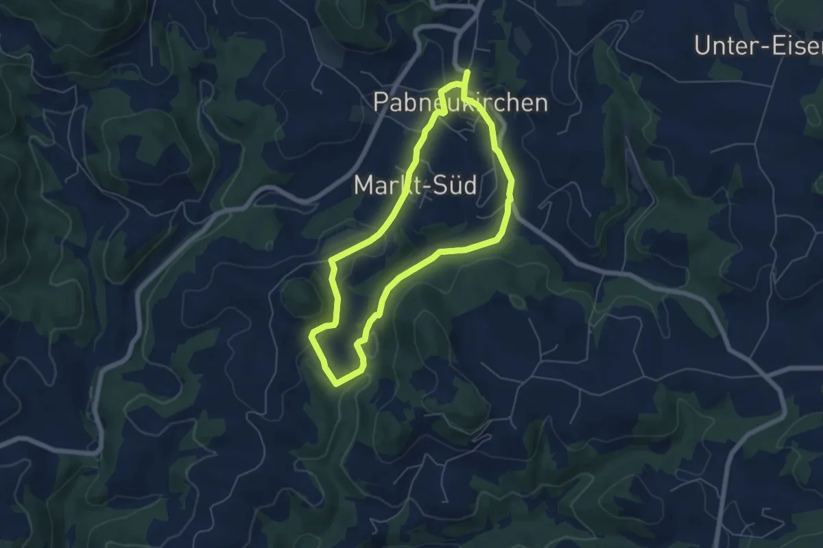
Easy · Trail
Schnitzer-Rundweg
4.9 km · ↑ 115 m · 1 h 29 min
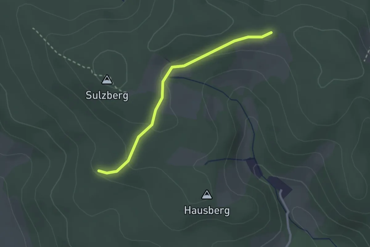
Easy · Trail
Schöffelhütte - Rohrberg
2.2 km · ↑ 57 m · 39 min
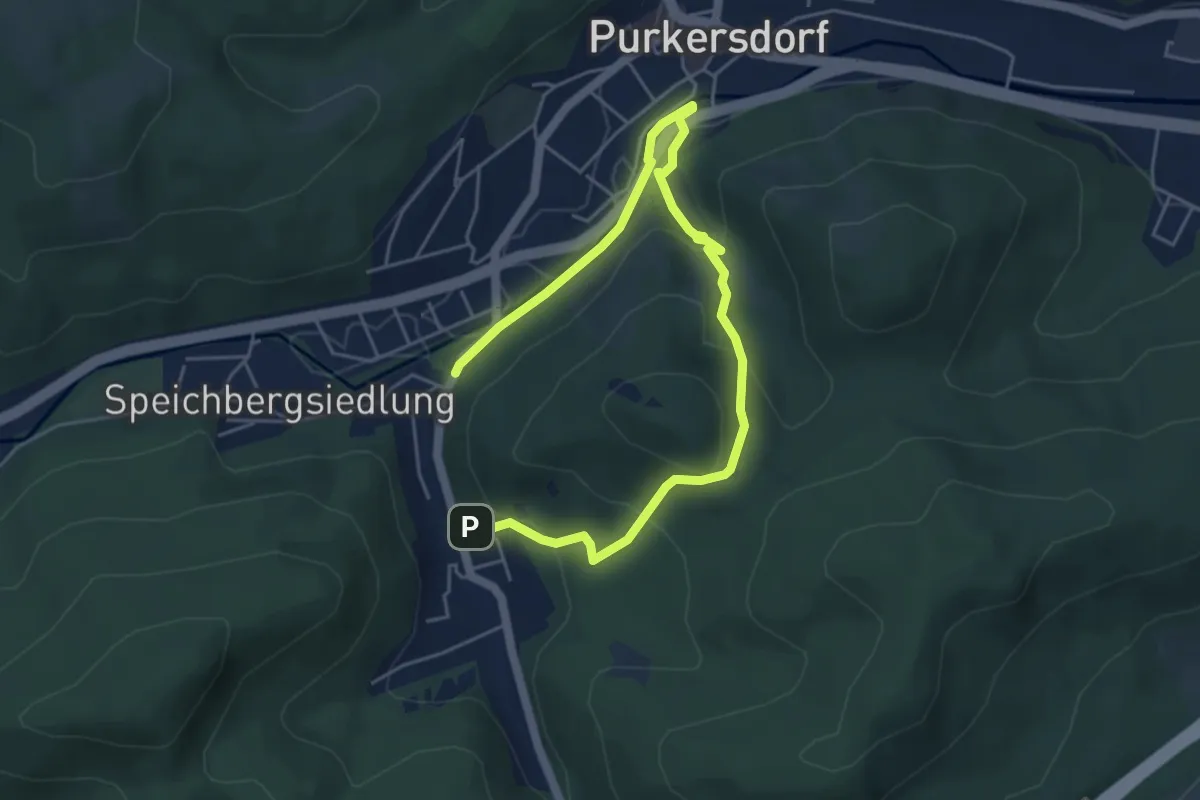
Easy · Trail
Schöffelstein (Purkersdorf) Rundweg
6.4 km · ↑ 274 m · 2 h 7 min
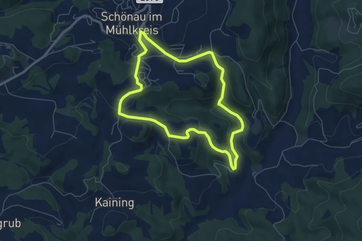
Easy · Trail
Schönaubach-Klamm
5.2 km · ↑ 151 m · 1 h 37 min
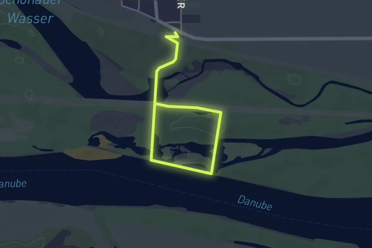
Easy · Trail
Schönauer Donaurunde
2.1 km · ↑ 0 m · 31 min
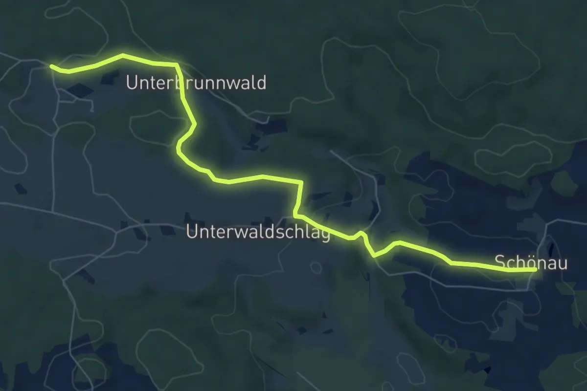
Easy · Trail
Schönau - Oberwaldschlag
7.7 km · ↑ 146 m · 2 h 7 min
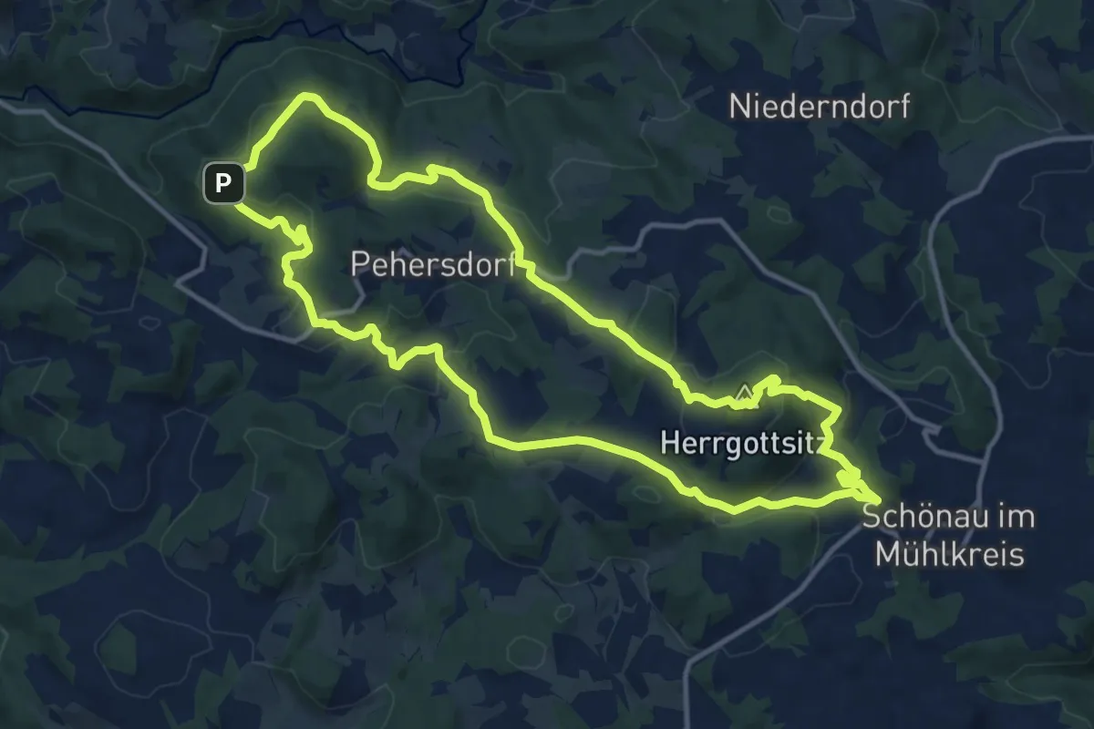
Medium · Summit
Schönau - Ruine Prandegg
12.6 km · ↑ 456 m · 4 h 9 min
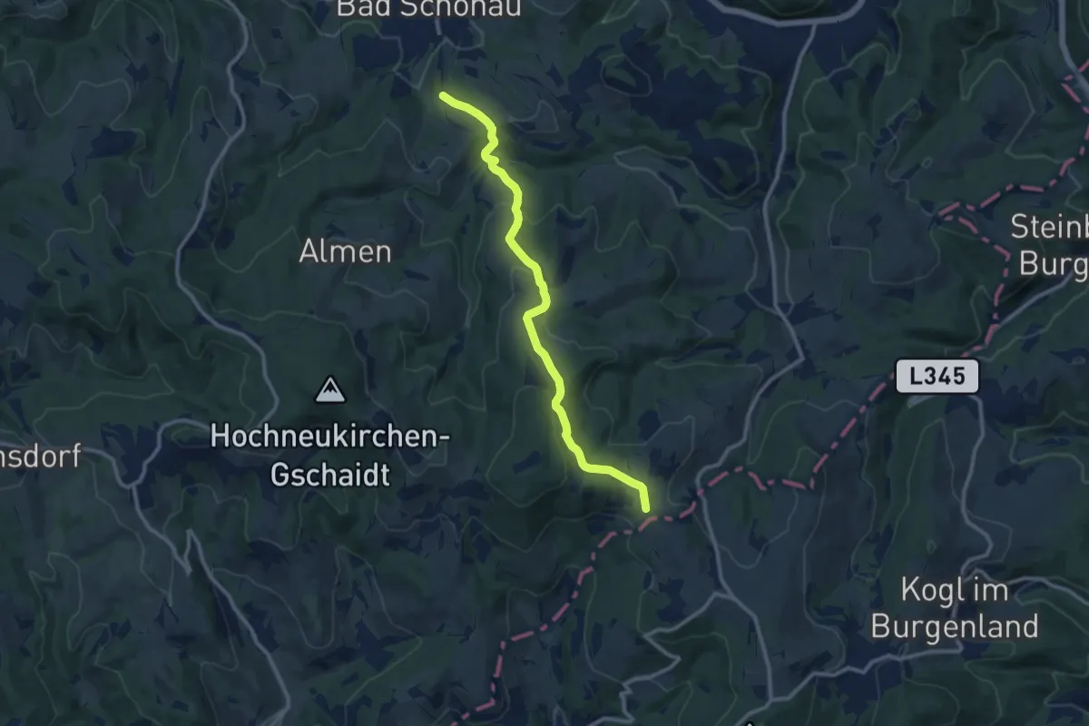
Medium · Trail
Schönau - Schlägen - Habich
10.2 km · ↑ 356 m · 3 h 11 min
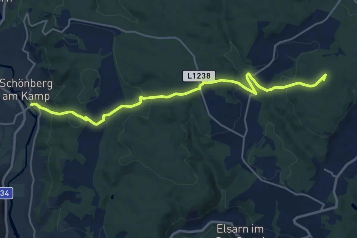
Medium · Summit
Schönberg am Kamp -Mühlbach am Manhartsberg
12.7 km · ↑ 465 m · 4 h
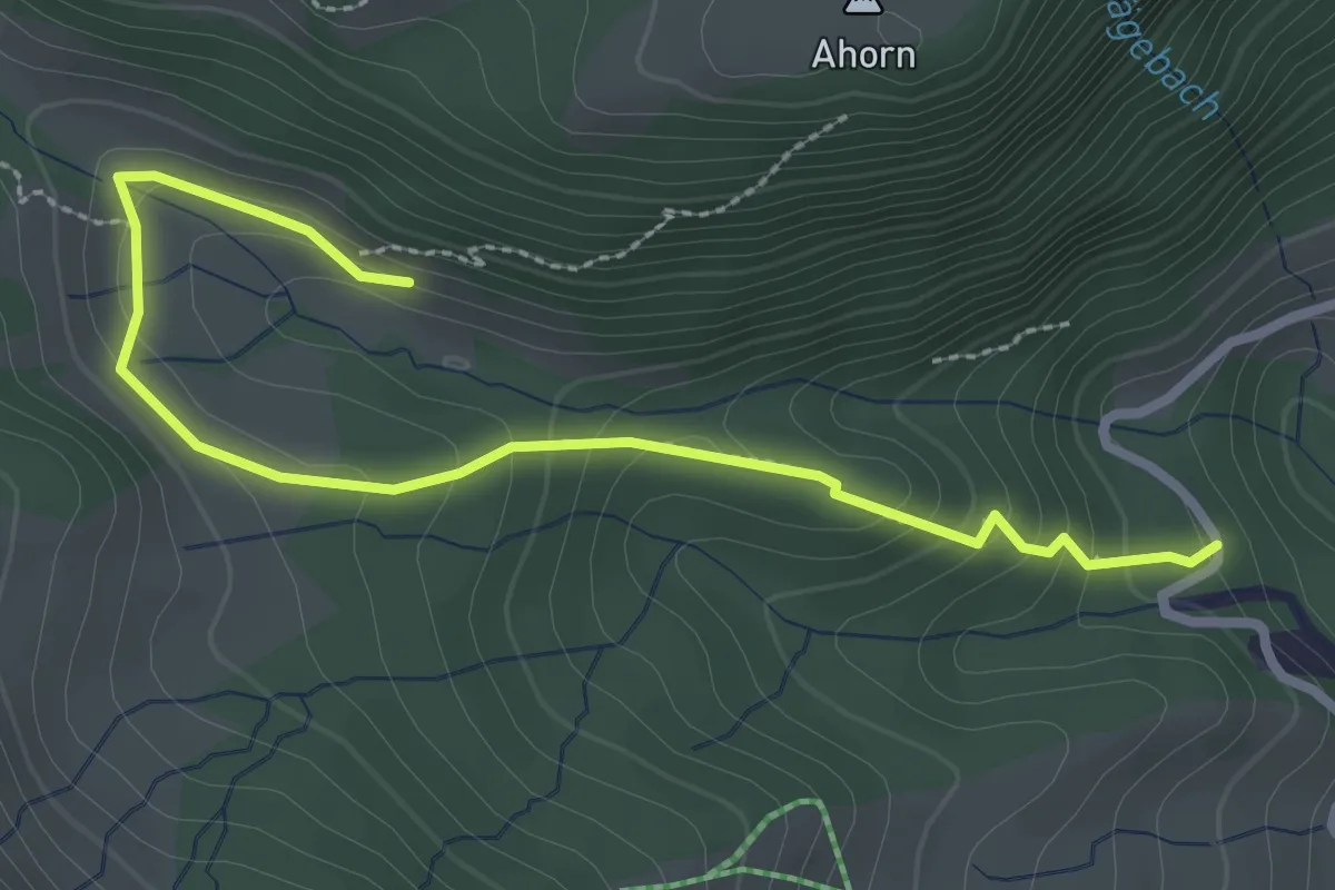
Easy · Trail
Schönblickweg
3.1 km · ↑ 183 m · 1 h 7 min
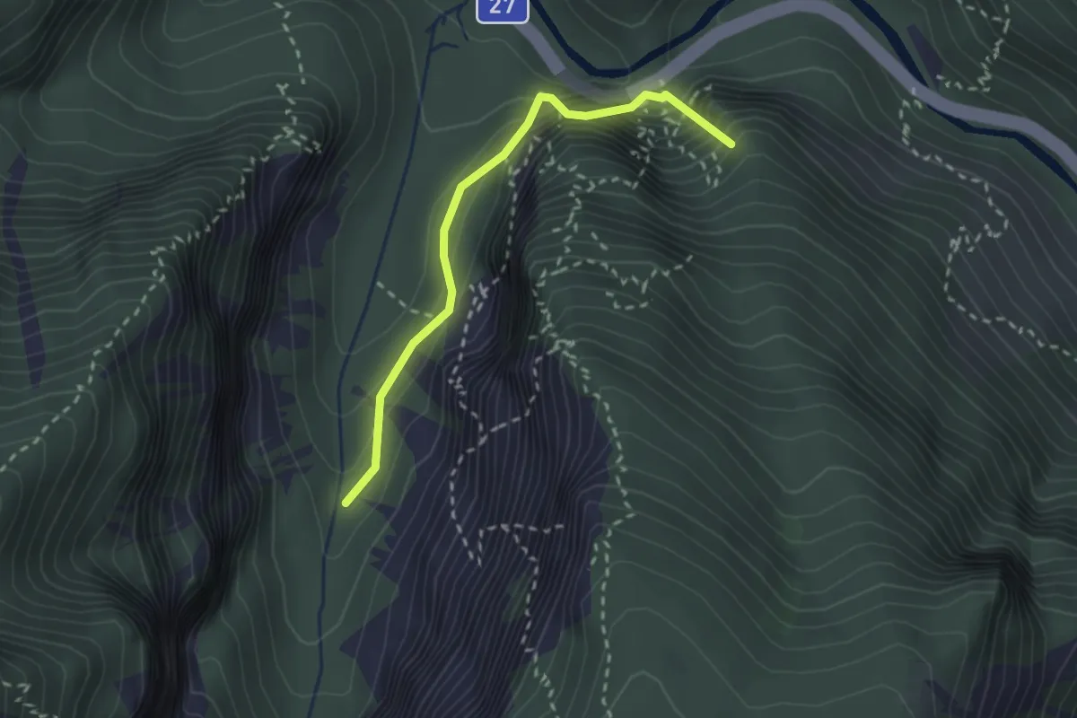
Medium · Summit
Schönbrunnerweg
2.3 km · ↑ 293 m · 1 h 11 min