Trails in Austria
9,777 hiking trails, each with its route, climb, walking time and grade.
All trails, page 103 of 204
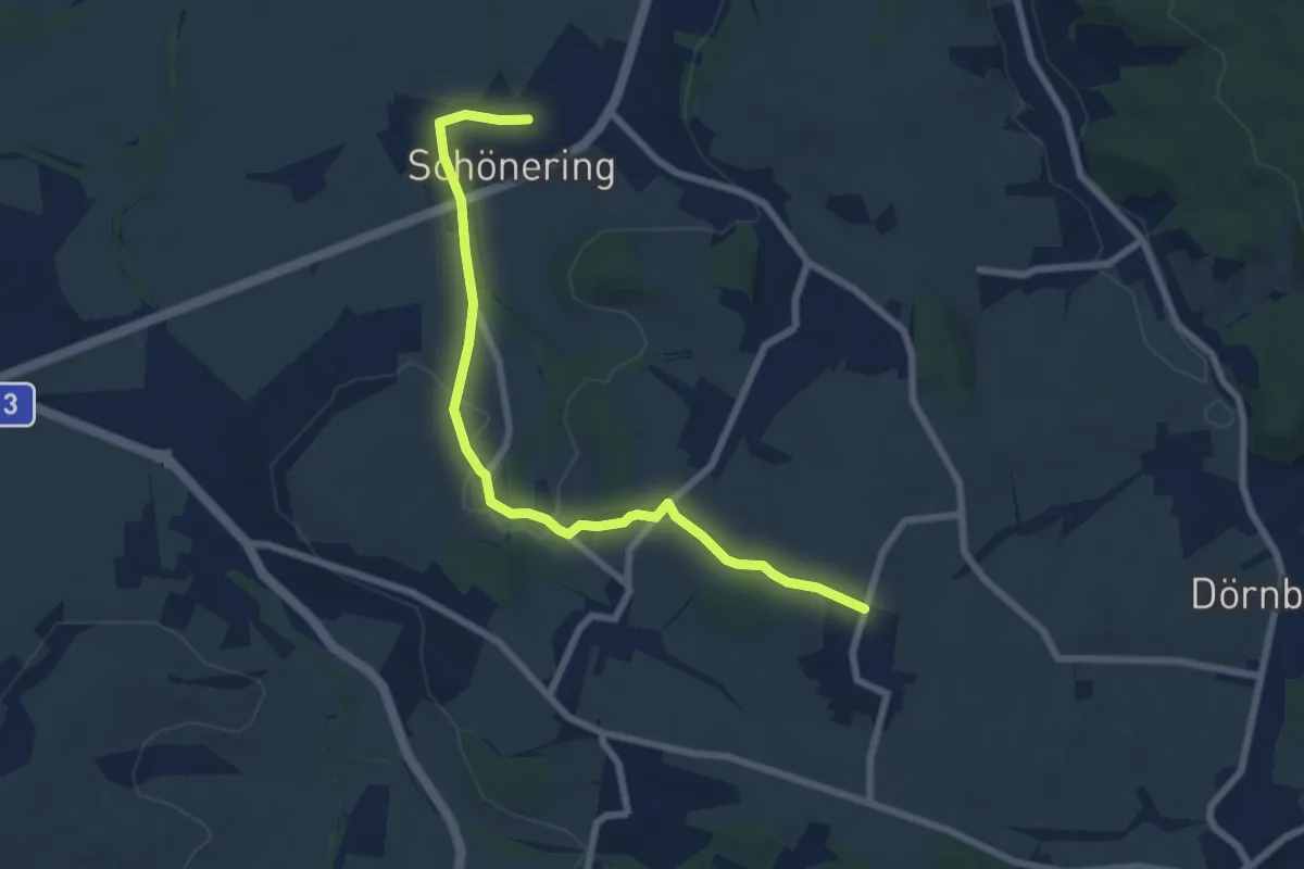
Easy · Trail
Schönering-Appersberg
7.2 km · ↑ 131 m · 1 h 59 min
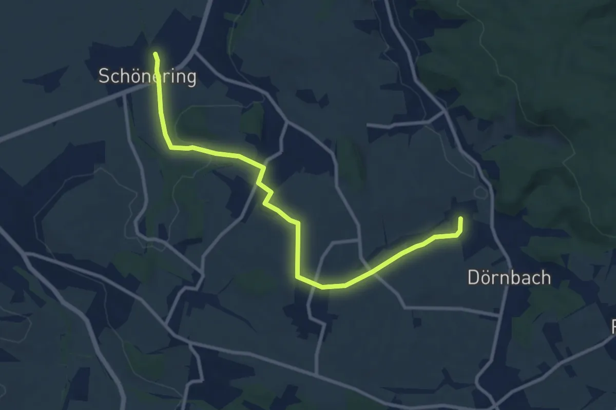
Medium · Trail
Schönering-Dörnbach
8.7 km · ↑ 189 m · 2 h 28 min
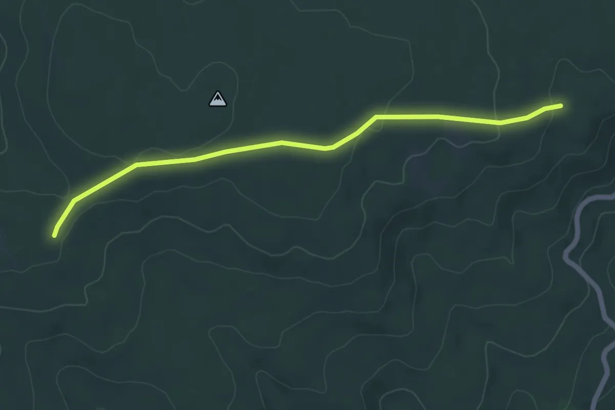
Easy · Trail
Schöner Jäger - Gscheidkreuz (Leithagebirge)
4.6 km · ↑ 71 m · 1 h 14 min
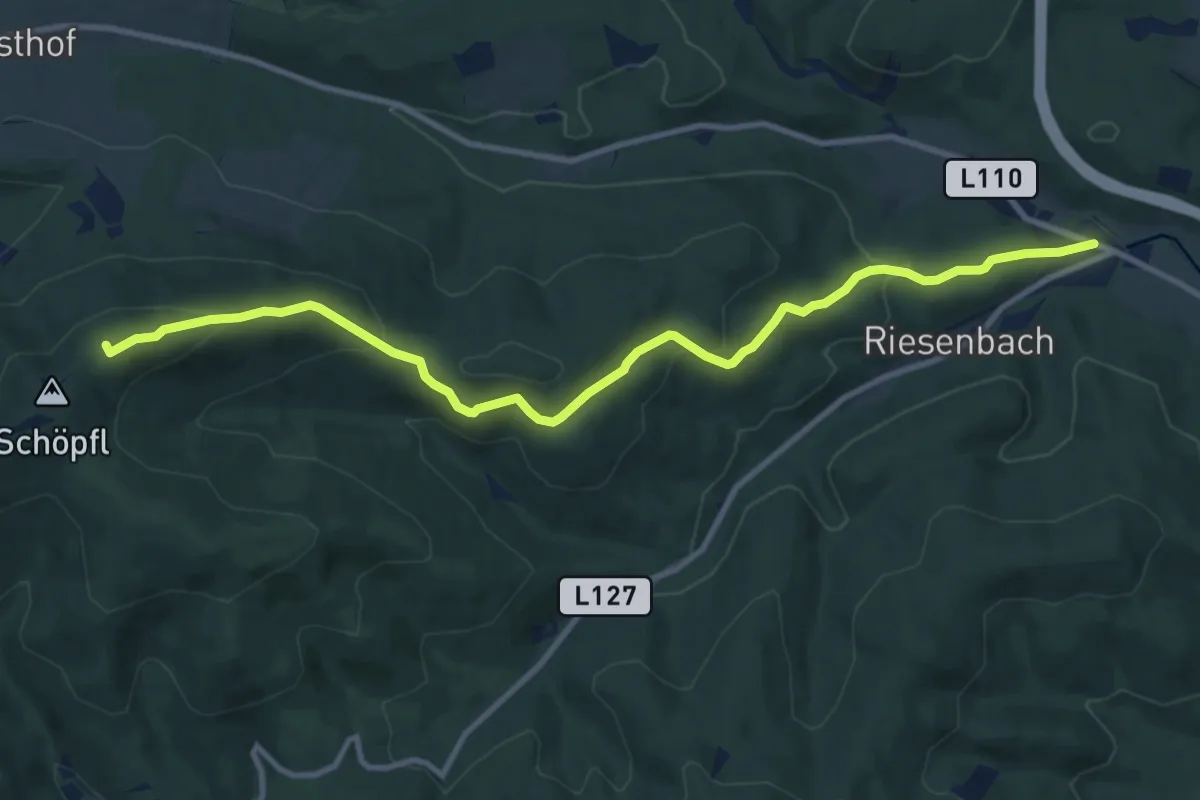
Medium · Summit
Schöpflgitter - Schöpflhütte (Matraswarte)
11.2 km · ↑ 452 m · 3 h 38 min
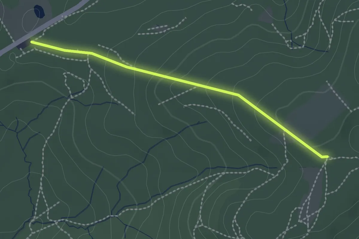
Easy · Trail
Schottenhof - Kreuzeichenwiese
2.2 km · ↑ 77 m · 41 min
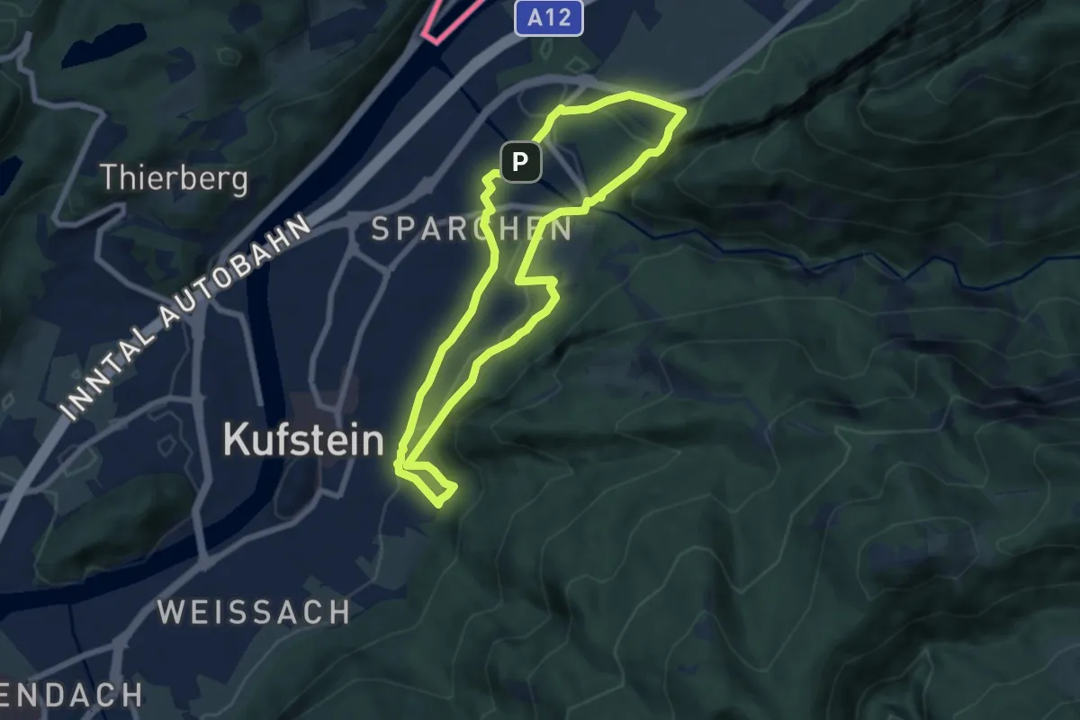
Easy · Summit
Schottergruben-Runde
6.2 km · ↑ 78 m · 1 h 43 min
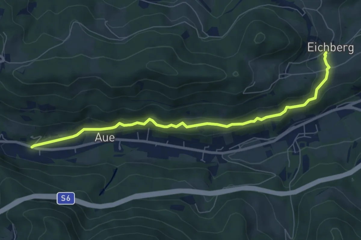
Easy · Trail
Schottwien - Eichberg
6.9 km · ↑ 164 m · 1 h 59 min
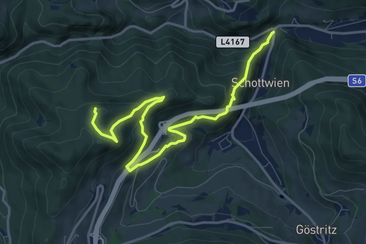
Expert · Summit
Schottwien - Eselstein
9.3 km · ↑ 511 m · 3 h 19 min
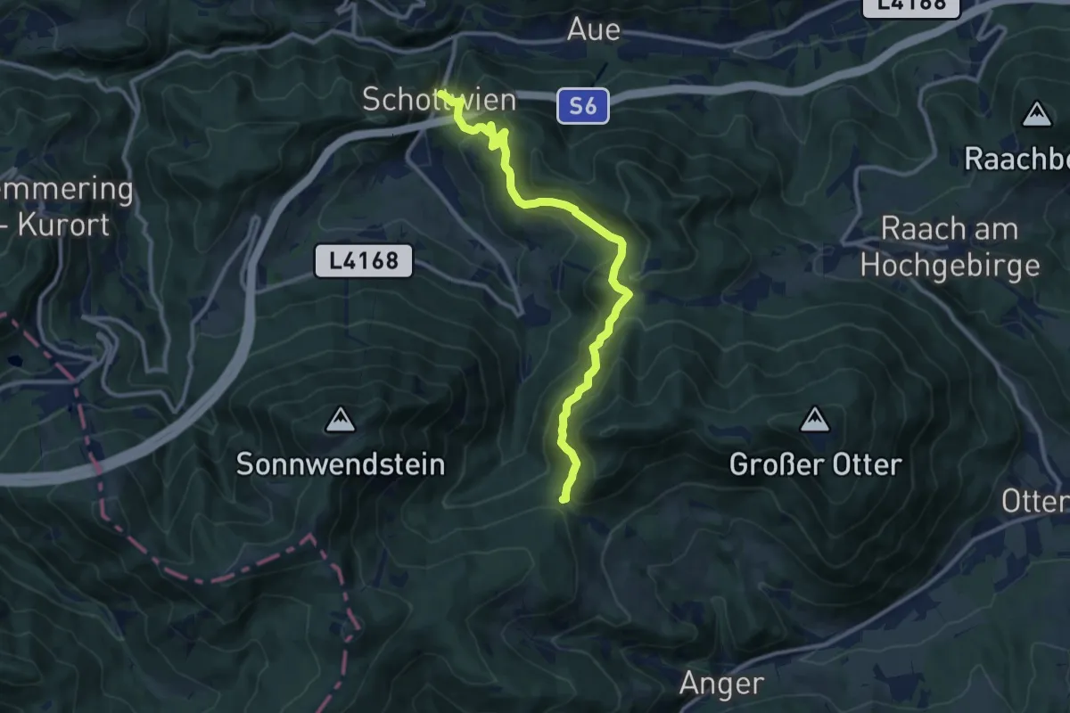
Medium · Trail
Schottwien - Kummerbauerstadl
10.8 km · ↑ 686 m · 4 h 2 min
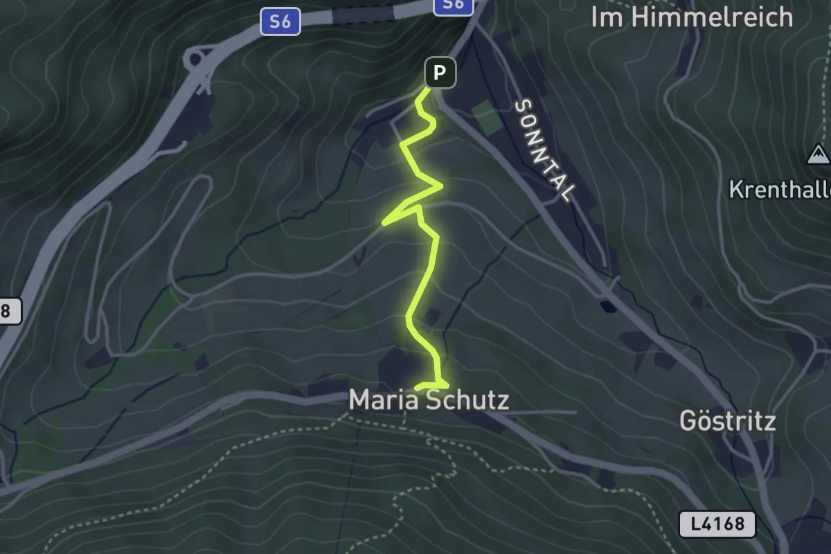
Easy · Trail
Schottwien - Maria Schutz
2.9 km · ↑ 159 m · 1 h 1 min
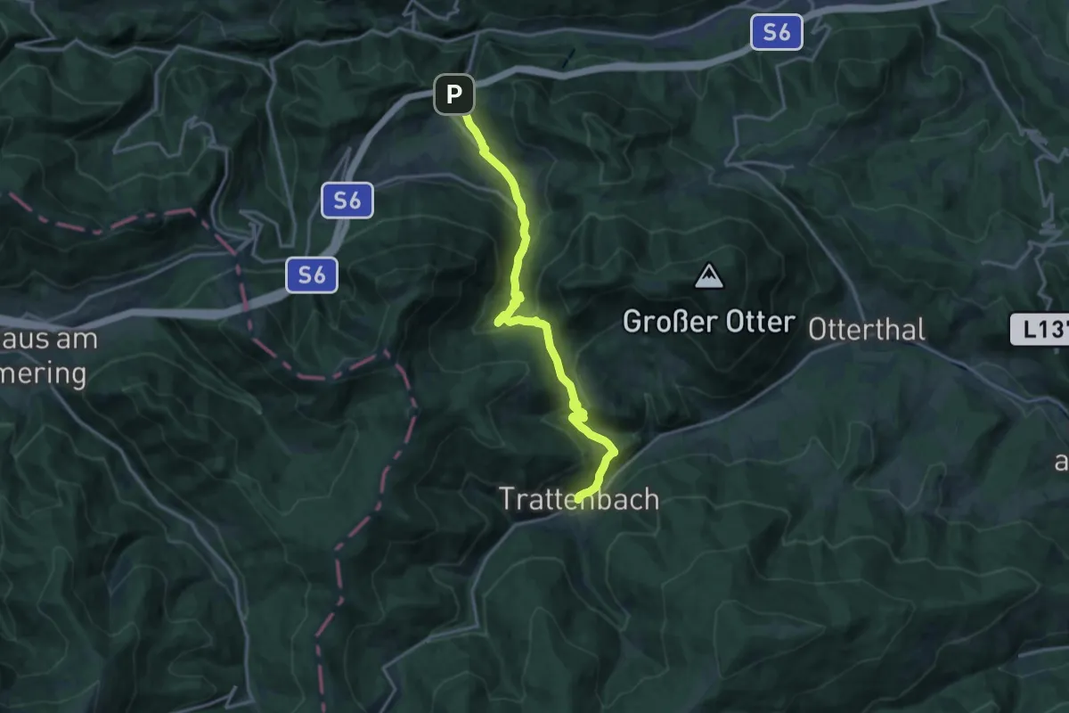
Demanding · Trail
Schottwien - Trattenbach
15.7 km · ↑ 816 m · 5 h 29 min
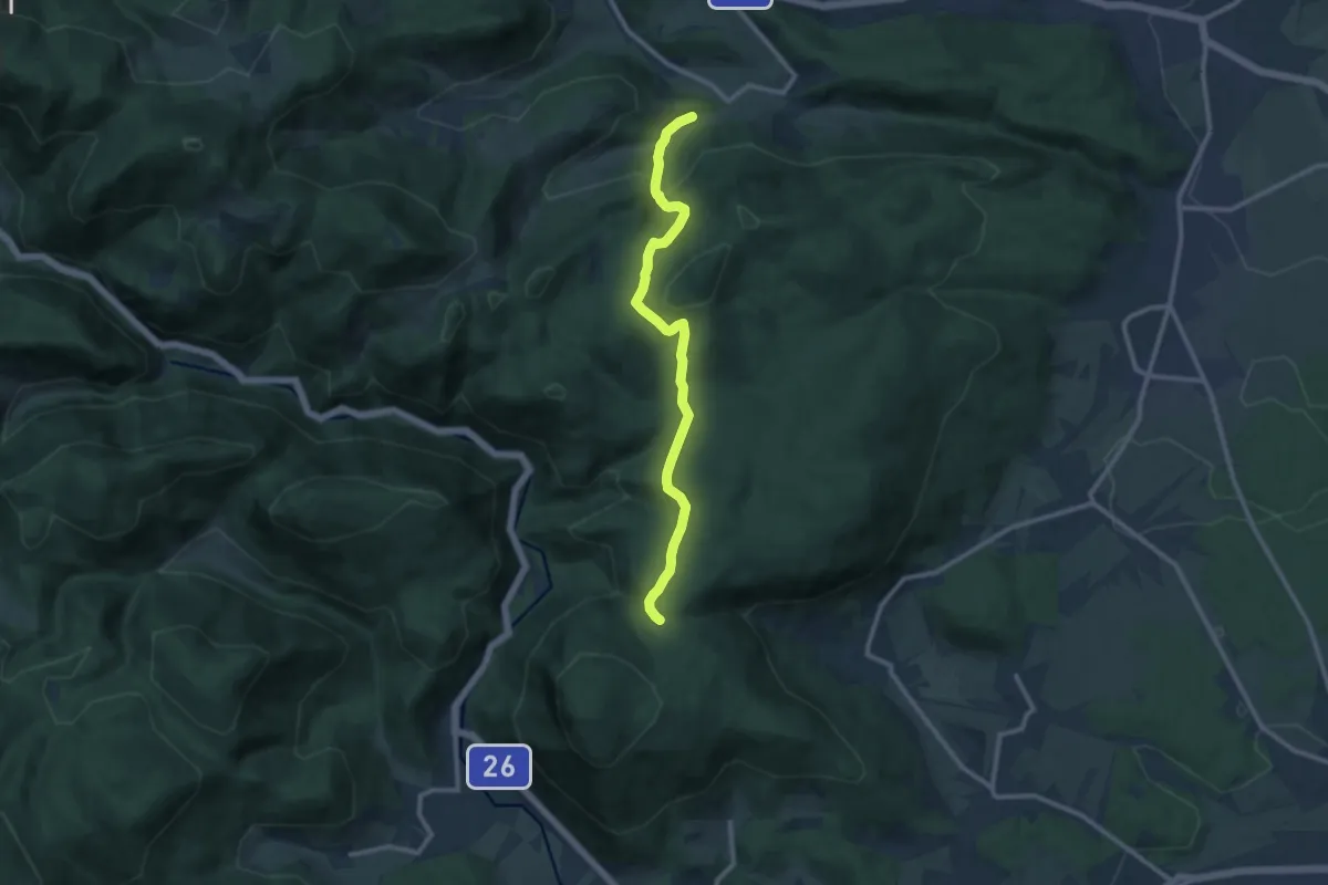
Medium · Trail
Schrattenbach - Ruine Schrattenstein - Flatzer Anger
10.3 km · ↑ 411 m · 3 h 19 min
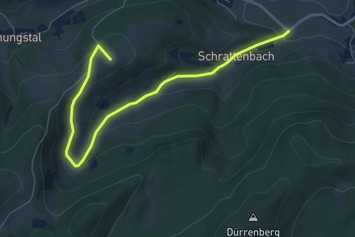
Easy · Summit
Schrattenbach Runde
6.4 km · ↑ 233 m · 2 h 1 min
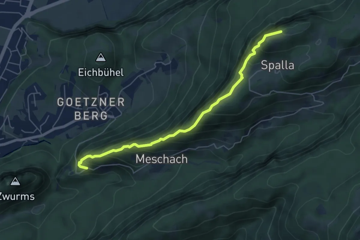
Medium · Summit
Schreckweg
5.2 km · ↑ 602 m · 2 h 32 min
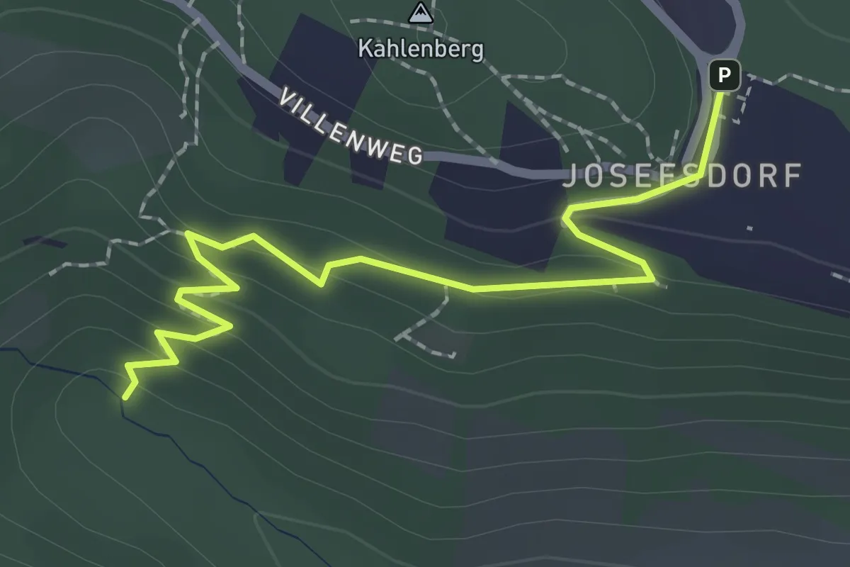
Easy · Trail
Schreiberbach - Kahlenberg
2.2 km · ↑ 105 m · 45 min
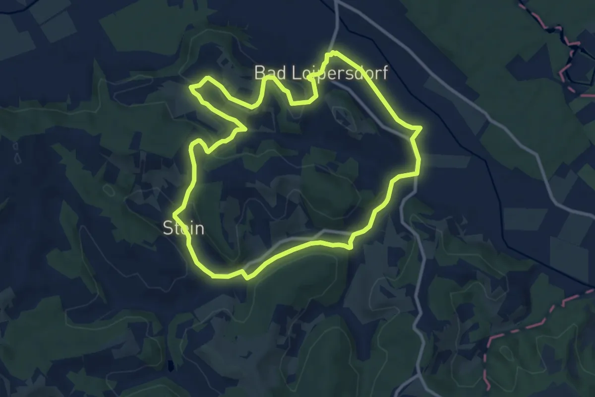
Medium · Trail
Schritt & Tritt
9.0 km · ↑ 158 m · 2 h 35 min
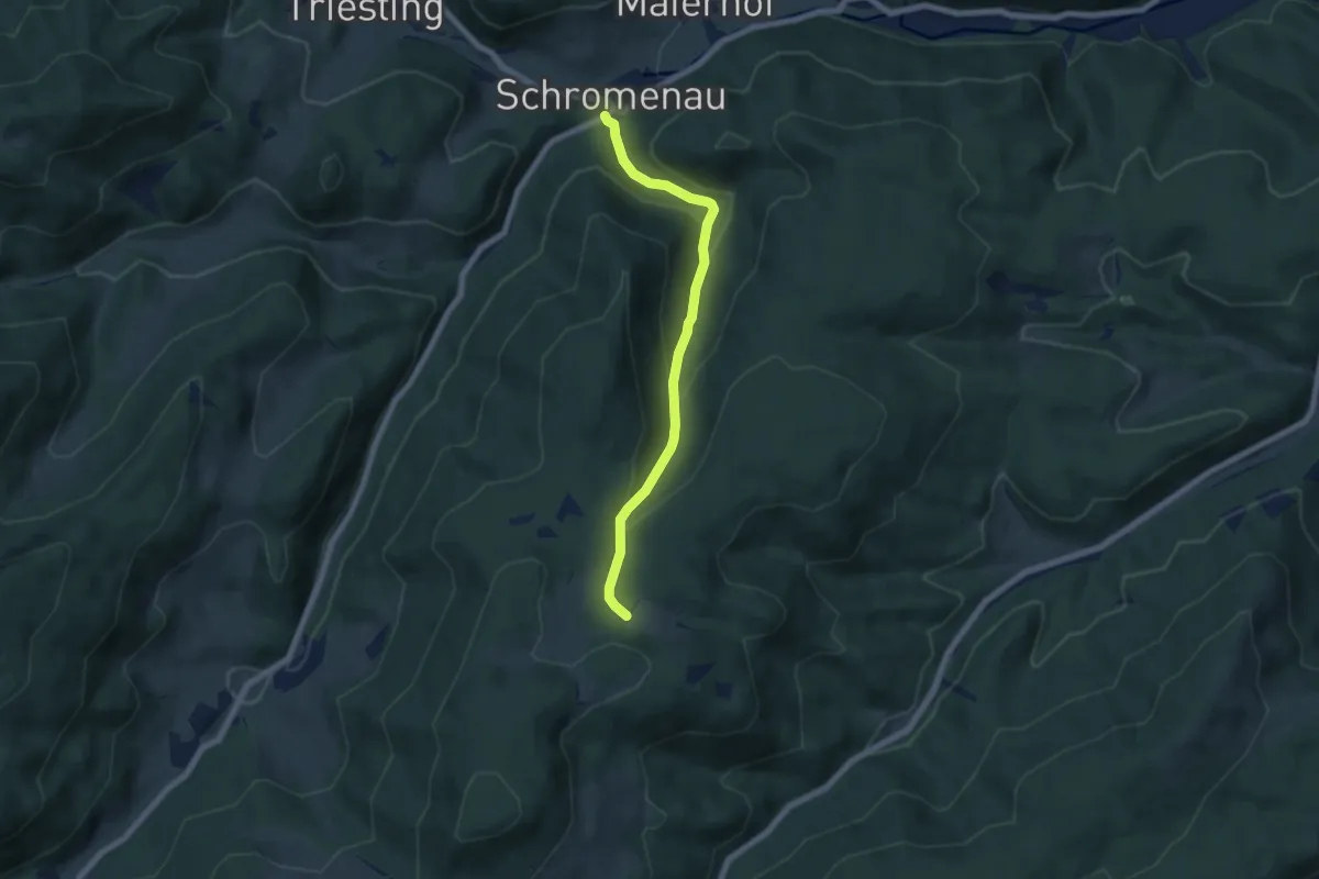
Medium · Trail
Schromenau - Dürnthal - Sieberlgraben - Rotes Kreuz
6.1 km · ↑ 352 m · 2 h 12 min
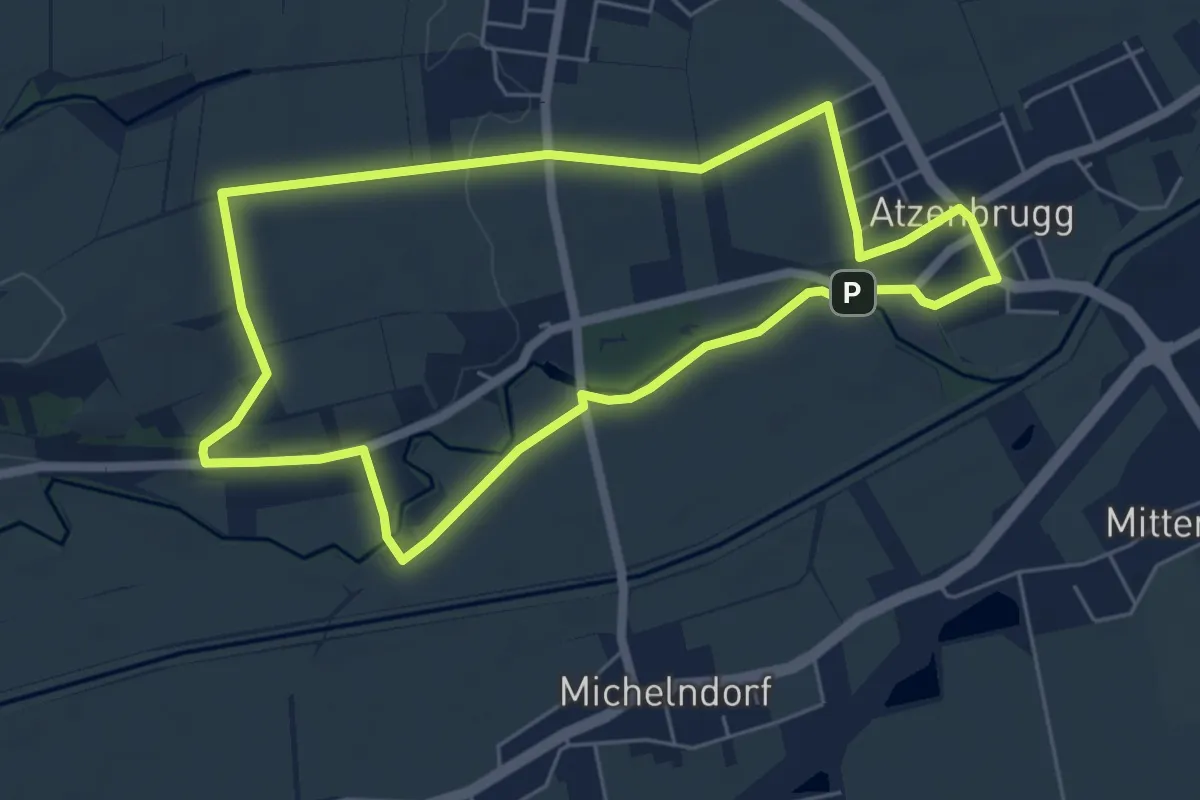
Easy · Trail
Schubertrunde
5.6 km · ↑ 42 m · 1 h 30 min
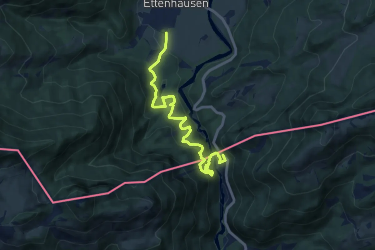
Medium · Trail
Schugglerweg Klobenstein
9.2 km · ↑ 554 m · 3 h 23 min
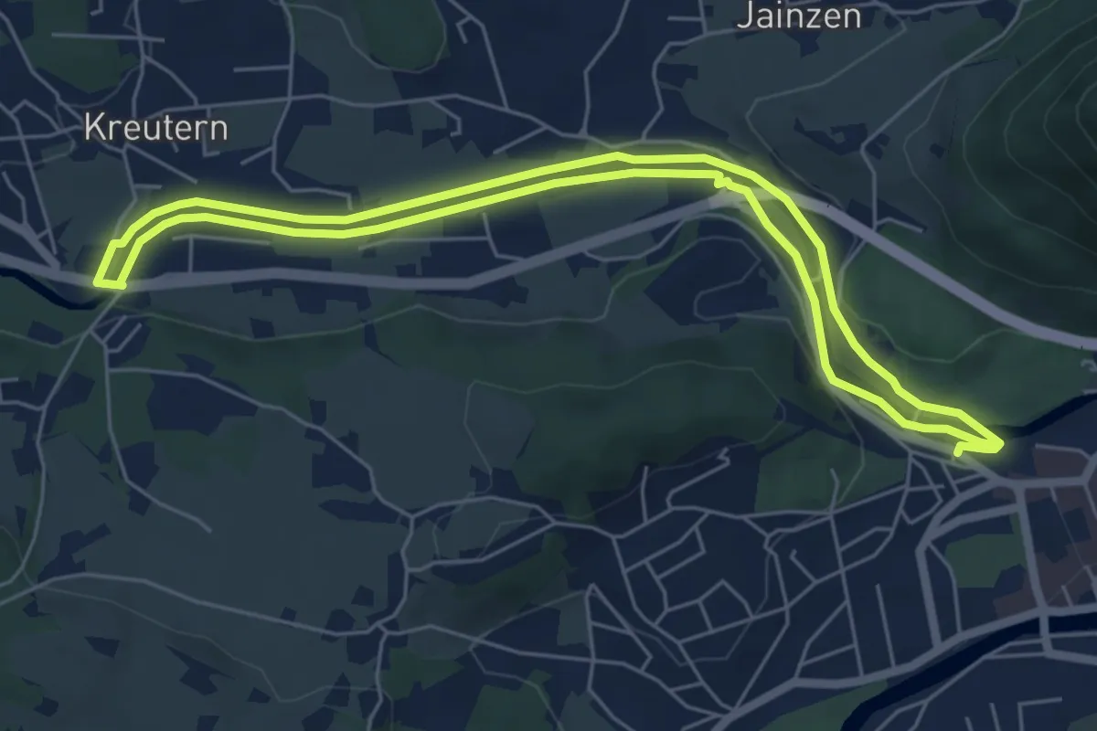
Easy · Trail
Schuh Ski runde (Pfandl Runde, B1)
5.8 km · ↑ 36 m · 1 h 31 min
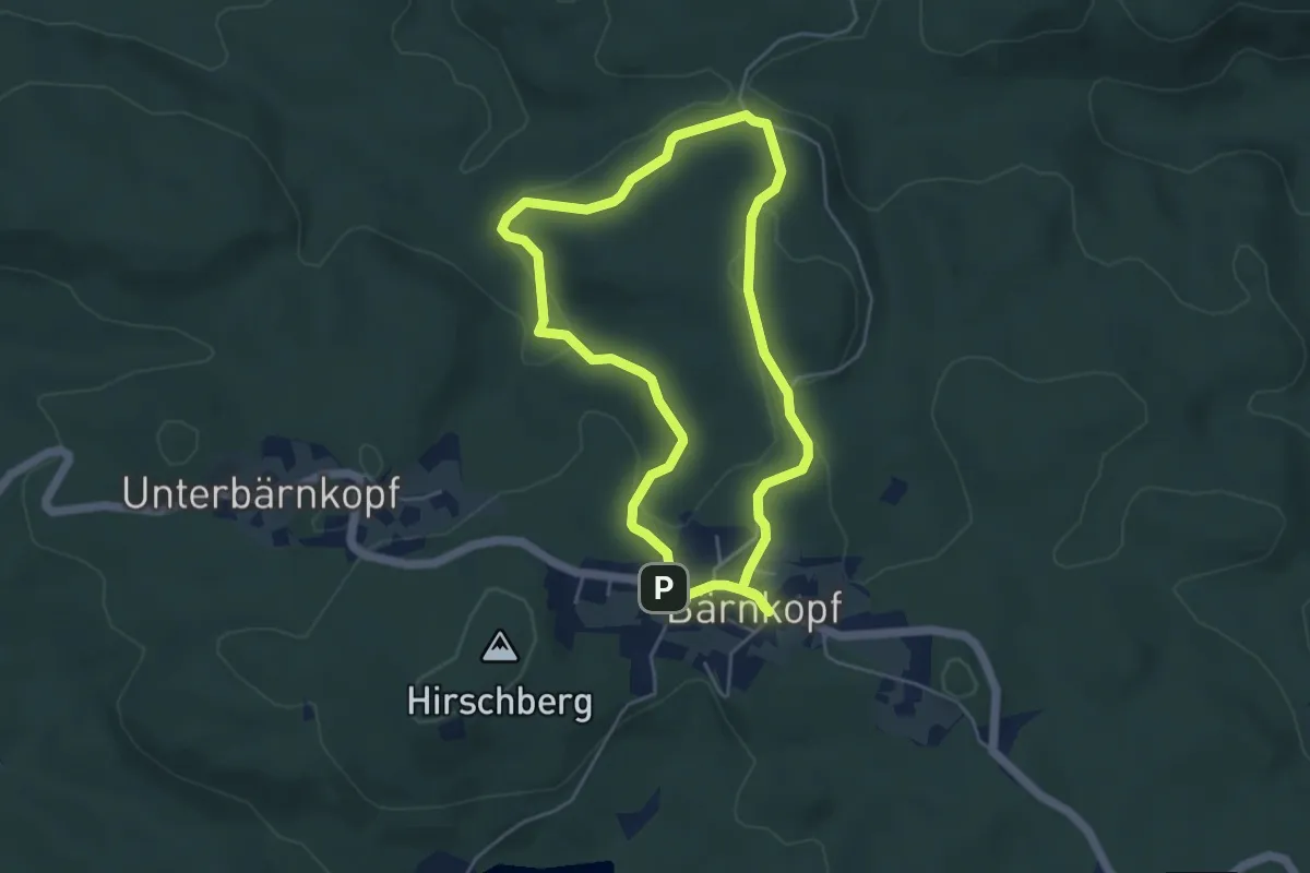
Easy · Summit
Schülersteig
4.2 km · ↑ 94 m · 1 h 16 min
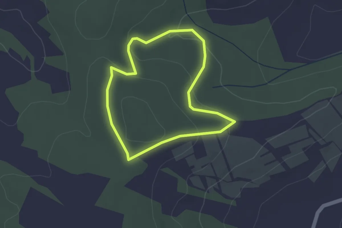
Easy · Trail
Schüler-Waldlehrpfad
2.3 km · ↑ 72 m · 44 min
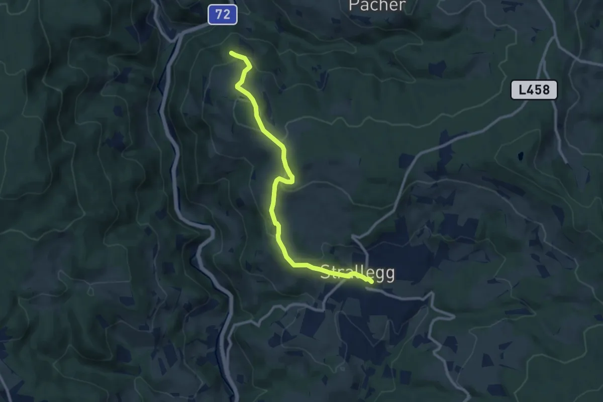
Medium · Trail
Schulmeisterhöhweg
8.9 km · ↑ 331 m · 2 h 49 min
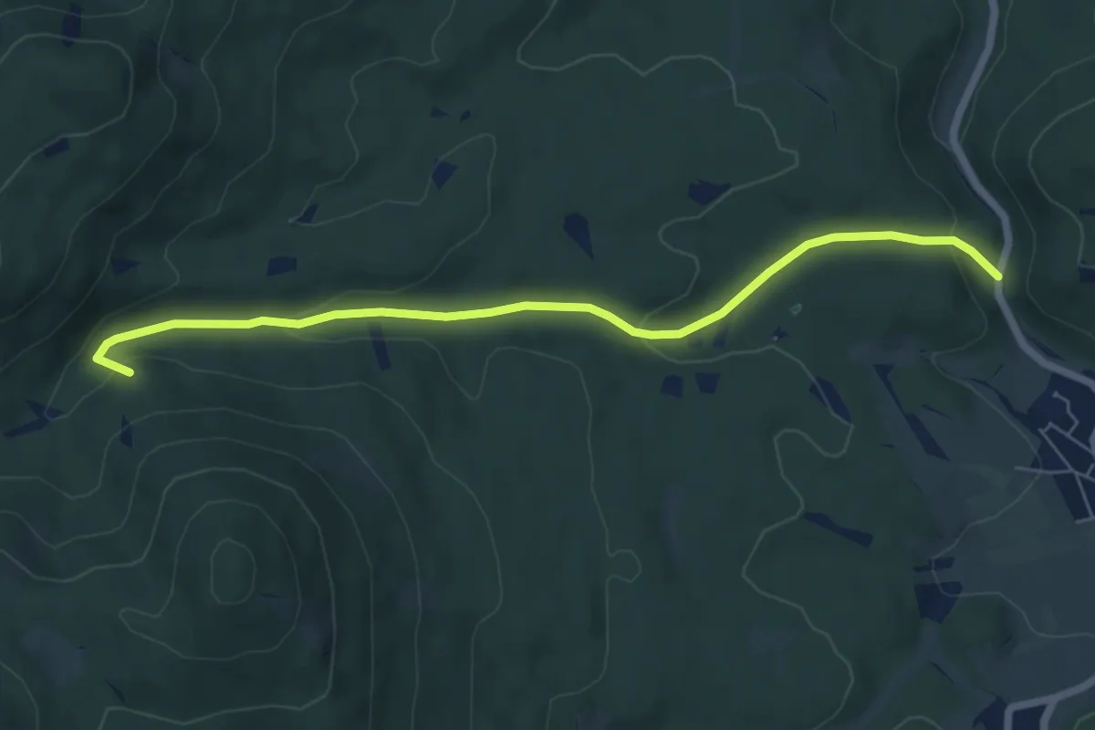
Easy · Summit
Schustergraben (Hernstein)
6.4 km · ↑ 220 m · 1 h 59 min
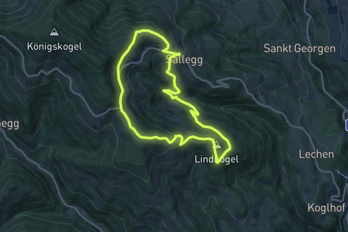
Demanding · Summit
Schusterklammsteig
7.2 km · ↑ 349 m · 2 h 33 min
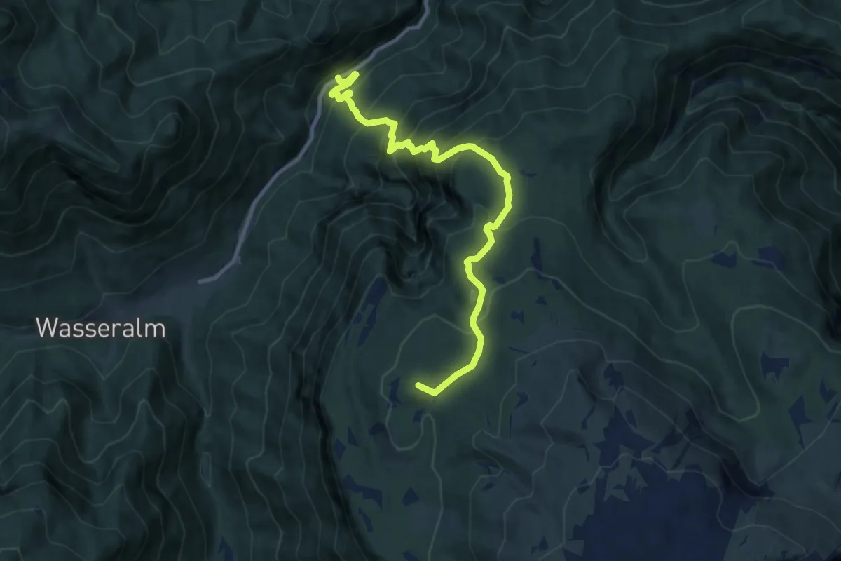
Demanding · Summit
Schüttersteig 45
9.9 km · ↑ 950 m · 4 h 23 min
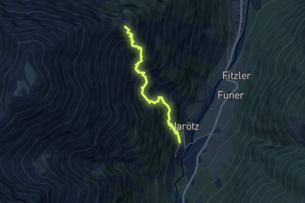
Medium · Summit
Schützensteig
4.3 km · ↑ 726 m · 2 h 36 min
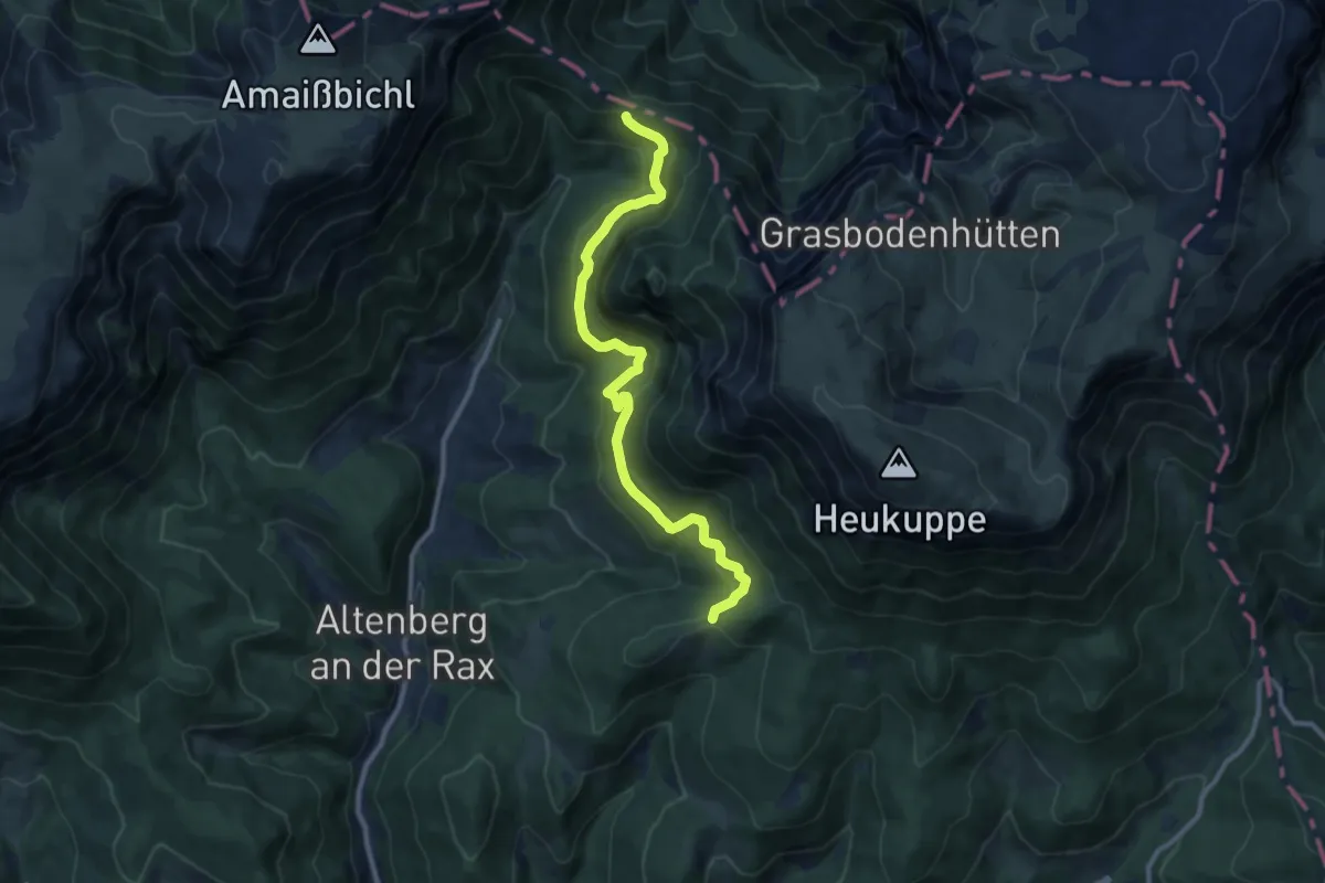
Medium · Trail
Schutzsteig 831
10.6 km · ↑ 410 m · 3 h 24 min
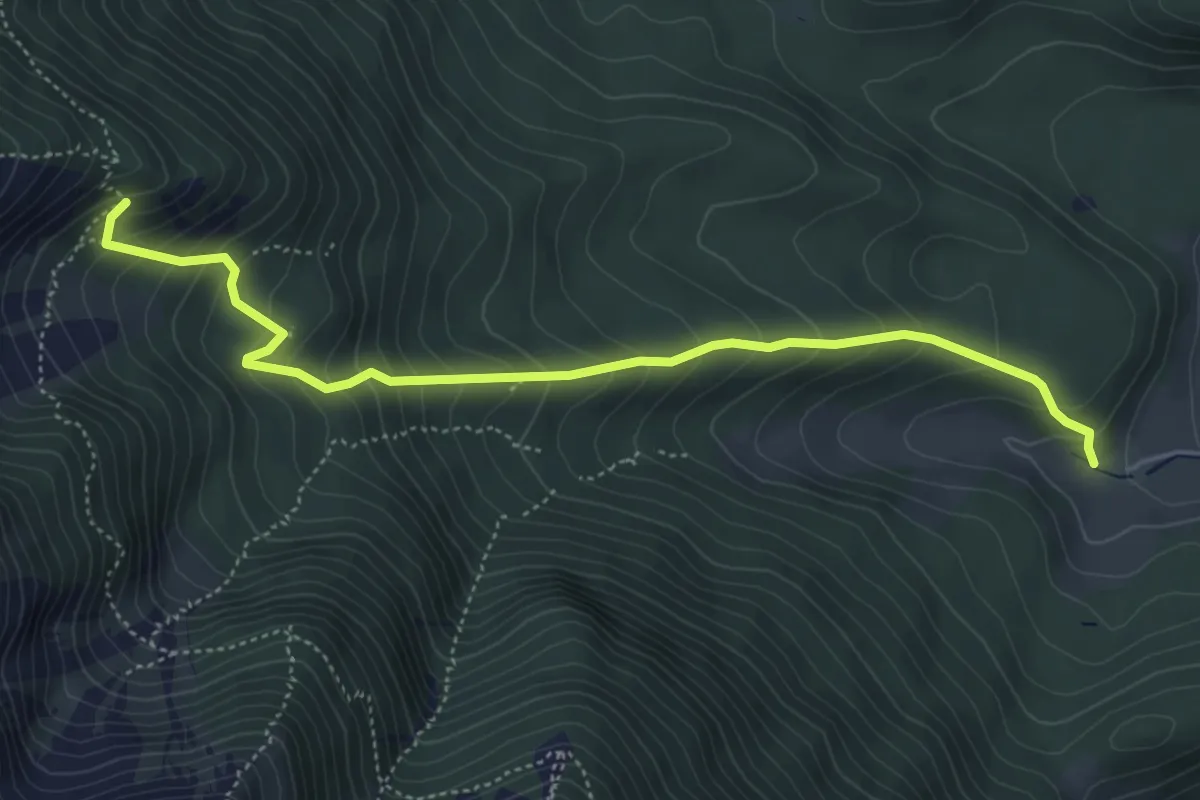
Medium · Trail
Schwabenhof - Ferdinand Bürkle Hütte
5.2 km · ↑ 504 m · 2 h 19 min
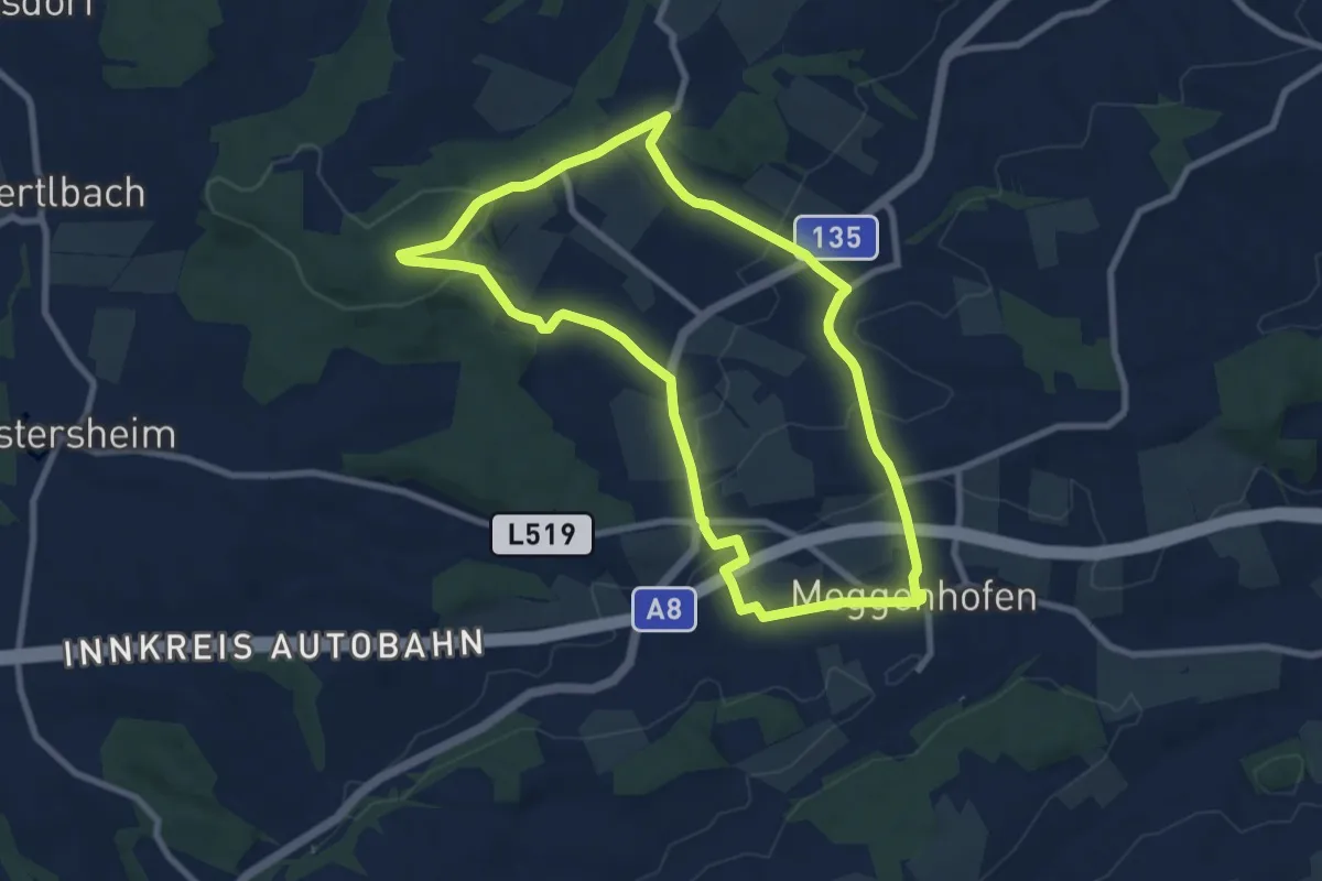
Medium · Trail
Schwalbleckrundweg
8.0 km · ↑ 154 m · 2 h 21 min
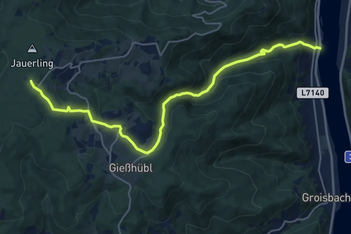
Medium · Summit
Schwallenbach - Jauerling
13.9 km · ↑ 751 m · 4 h 55 min
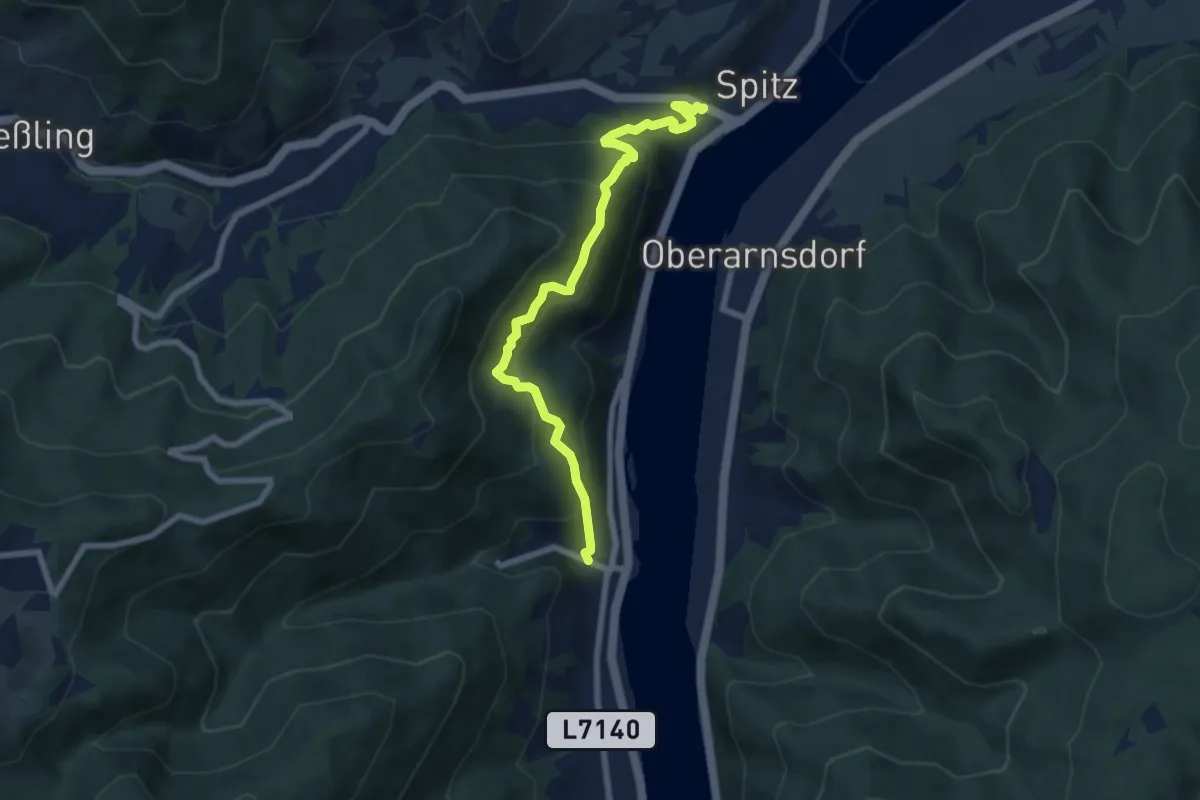
Medium · Trail
Schwallenbach-Ruine Hinterhaus-Spitz
7.0 km · ↑ 466 m · 2 h 40 min
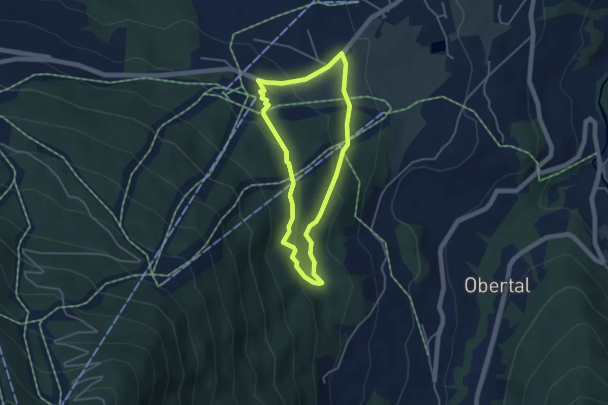
Easy · Trail
Schwammerllehrpfad
3.0 km · ↑ 92 m · 57 min
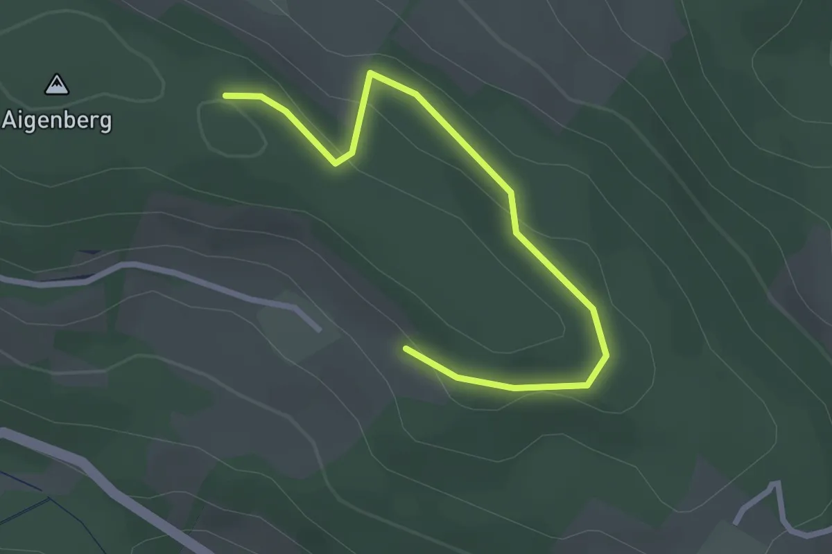
Easy · Trail
Schwammerlweg über Petruskapelle (Unternberg)
2.7 km · ↑ 62 m · 46 min
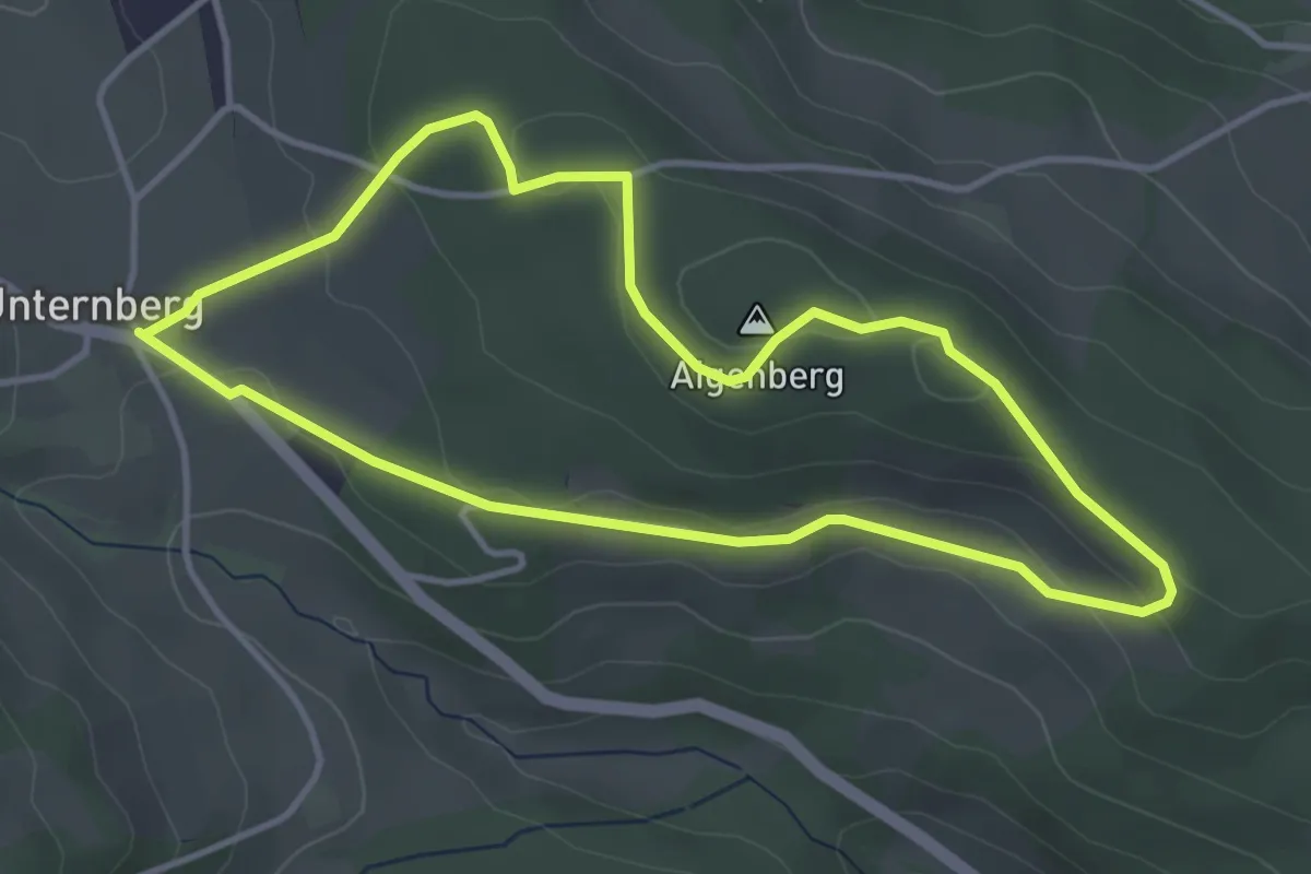
Easy · Summit
Schwammerlweg (Unternberg)
3.7 km · ↑ 67 m · 1 h 4 min
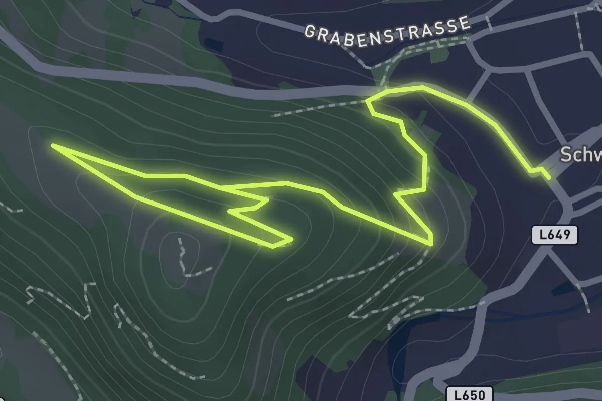
Easy · Trail
Schwanberg Kraftweg
1.7 km · ↑ 24 m · 32 min
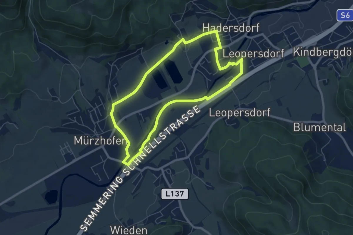
Easy · Trail
Schwanenweg
5.7 km · ↑ 20 m · 1 h 28 min
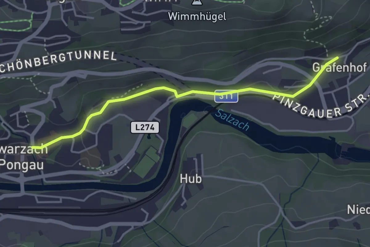
Easy · Trail
Schwarzach-Grafenhofdorf
3.7 km · ↑ 62 m · 1 h
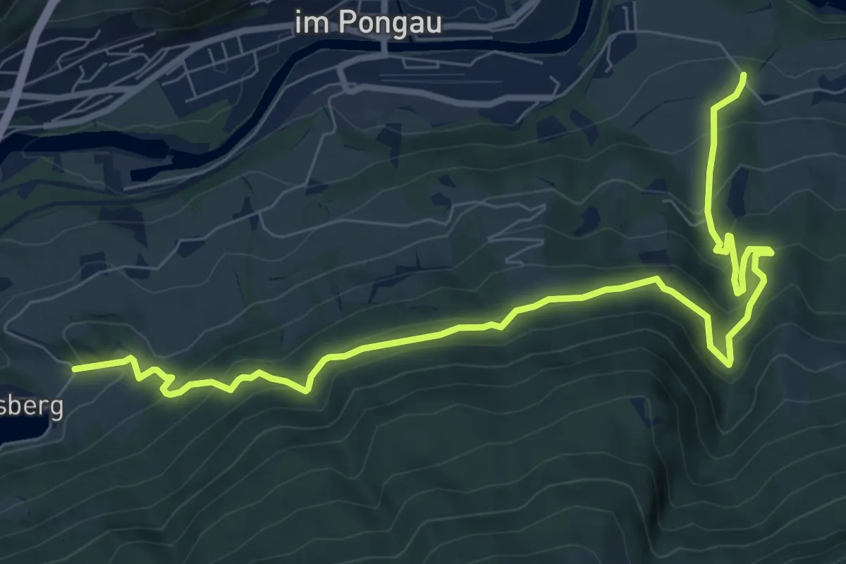
Medium · Trail
Schwarzach Höhenweg
9.8 km · ↑ 478 m · 3 h 21 min
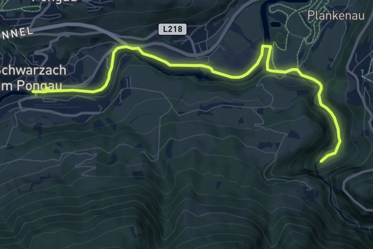
Medium · Trail
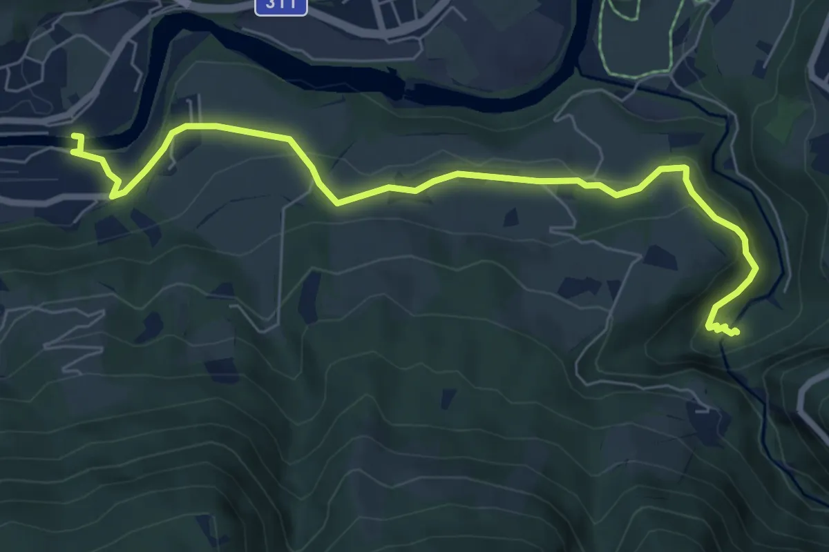
Schwarzach-Liechtensteinklamm
9.6 km · ↑ 86 m · 2 h 27 min
Easy · Trail
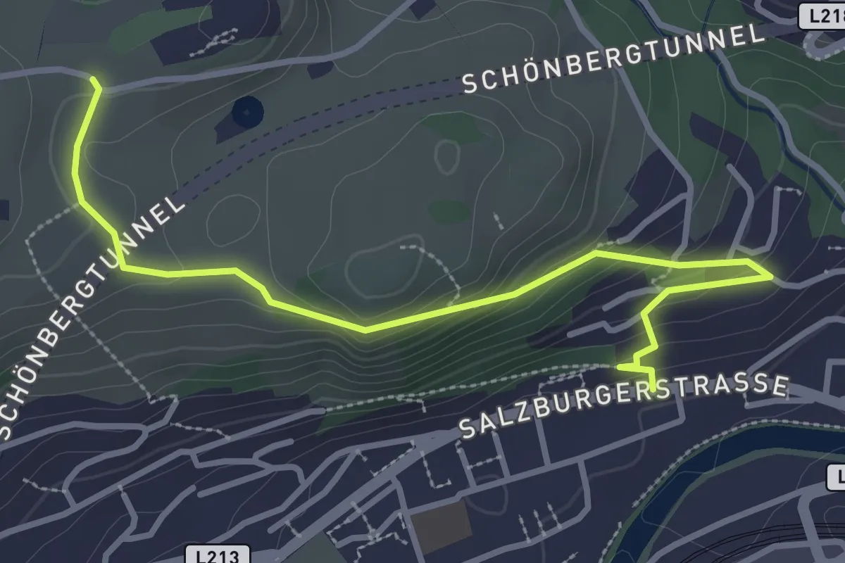
Schwarzach-Liechtensteinklamm (Alternative)
7.2 km · ↑ 210 m · 2 h 9 min
Easy · Trail
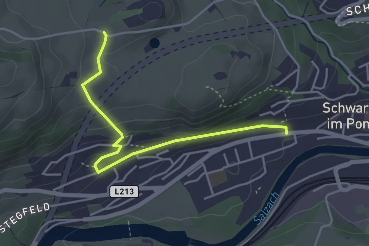
Schwarzach-Schernberg über Hoflehenwald
3.4 km · ↑ 151 m · 1 h 8 min
Easy · Trail
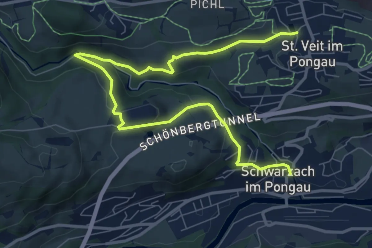
Schwarzach-Schernberg über Schönbergsiedlung
3.5 km · ↑ 175 m · 1 h 12 min
Medium · Trail
Schwarzach-St. Veit über Schernberg
8.4 km · ↑ 351 m · 2 h 45 min
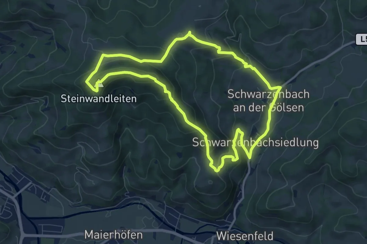
Medium · Summit
Schwarzenbacher Rundwanderweg 01
8.5 km · ↑ 377 m · 2 h 56 min
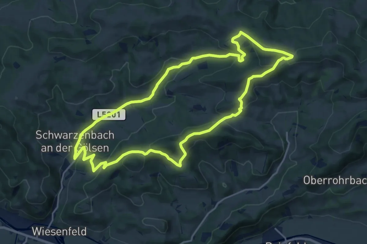
Medium · Trail
Schwarzenbacher Rundwanderweg 03
13.4 km · ↑ 440 m · 4 h 18 min
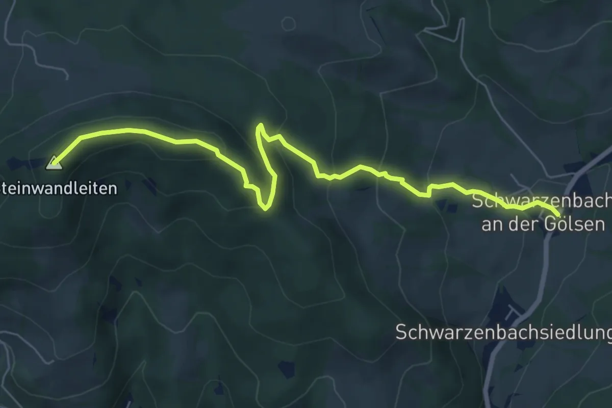
Medium · Summit
Schwarzenbach - Stockerhütte
6.5 km · ↑ 350 m · 2 h 18 min
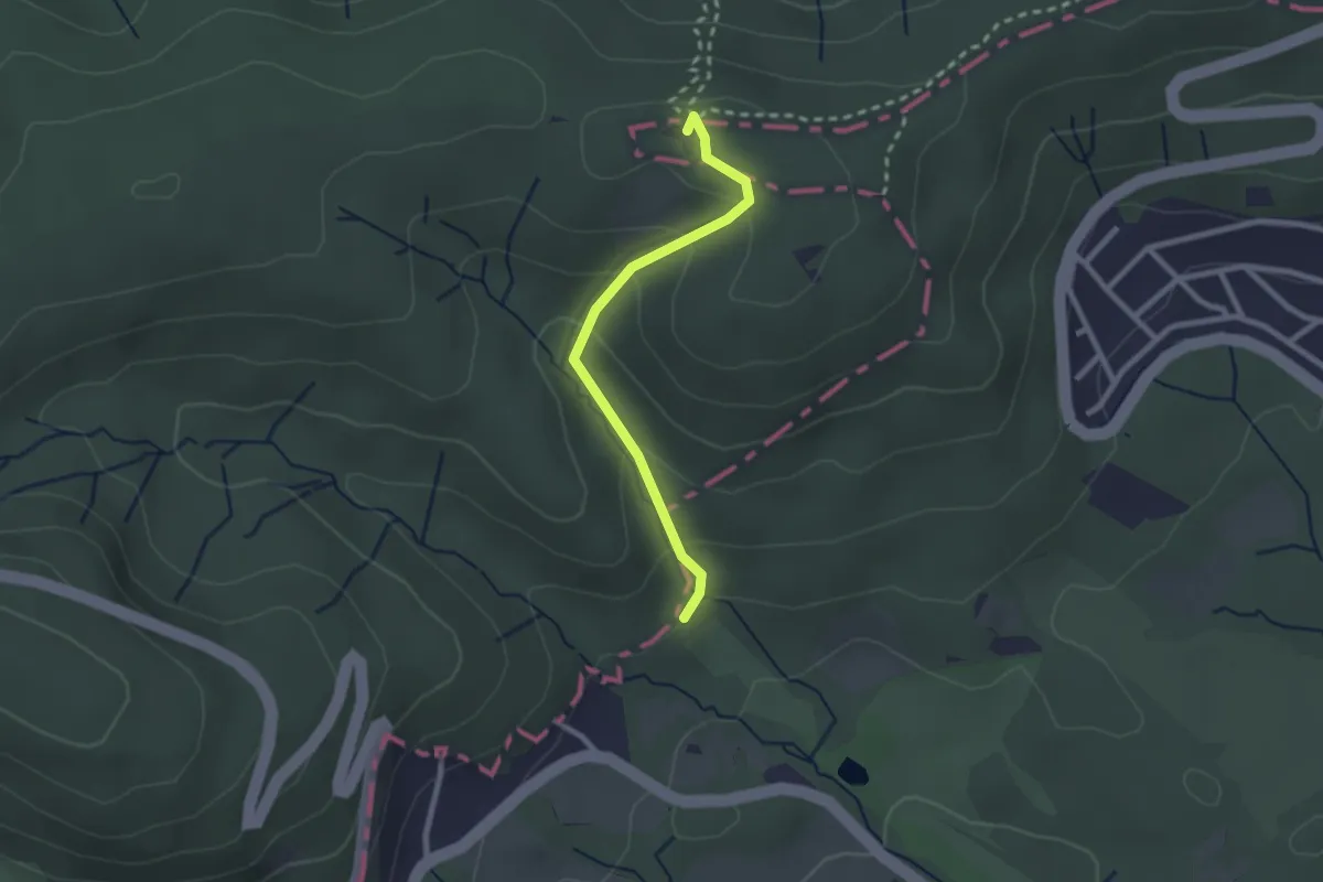
Easy · Summit
Schwarzenbergpark/Allee - Hameau
2.2 km · ↑ 131 m · 48 min