Trails in Austria
9,777 hiking trails, each with its route, climb, walking time and grade.
All trails, page 104 of 204
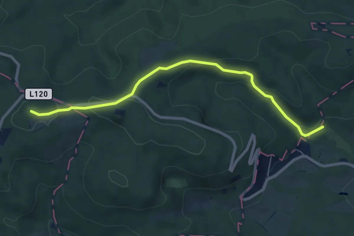
Easy · Summit
Schwarzenbergpark/Allee - Sophienalpe (nördlicher Ast)
5.3 km · ↑ 184 m · 1 h 39 min
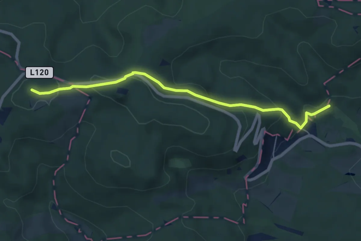
Easy · Summit
Schwarzenbergpark/Allee - Sophienalpe (südlicher Ast)
5.0 km · ↑ 175 m · 1 h 34 min
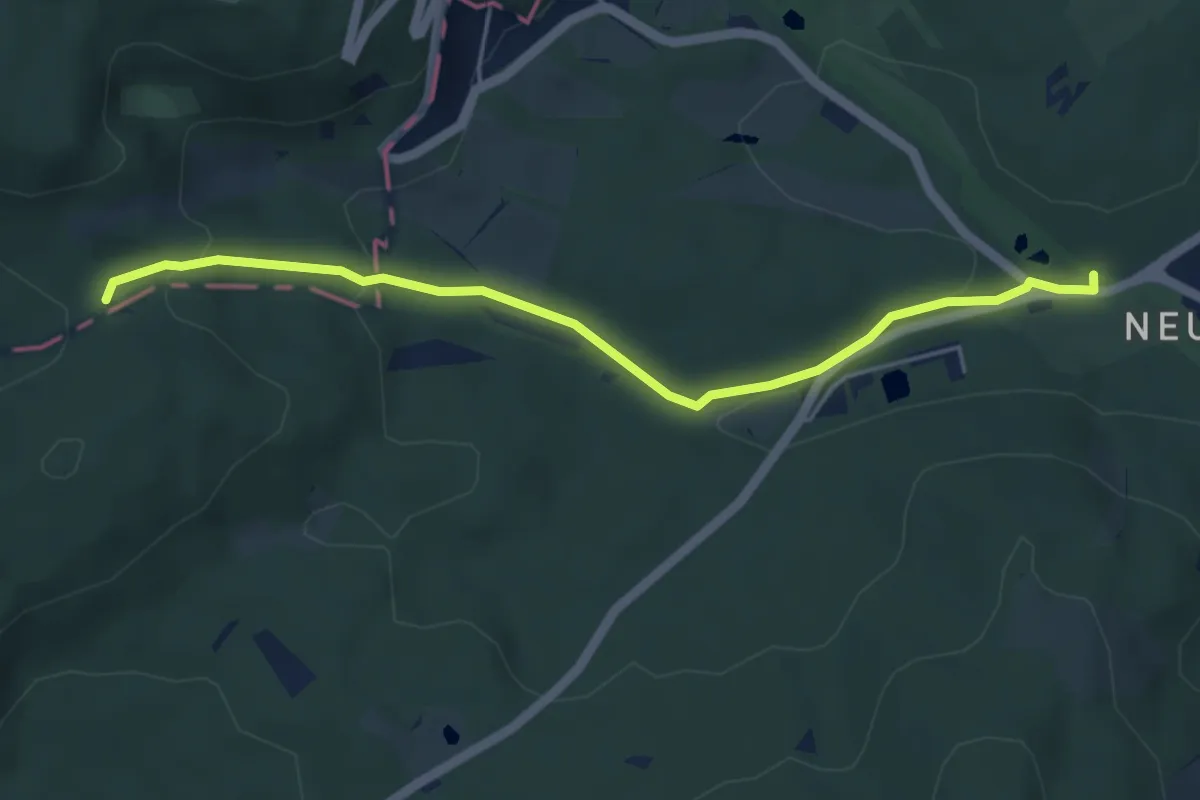
Easy · Trail
Schwarzenbergpark/Marswiese - Alserbachursprung
4.8 km · ↑ 118 m · 1 h 23 min
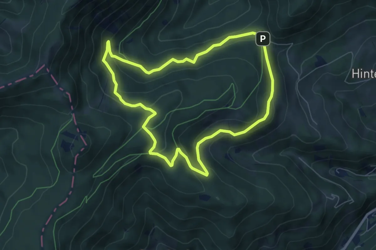
Easy · Trail
Schwarzenberg-Rundwanderweg T6
6.2 km · ↑ 222 m · 2 h 2 min
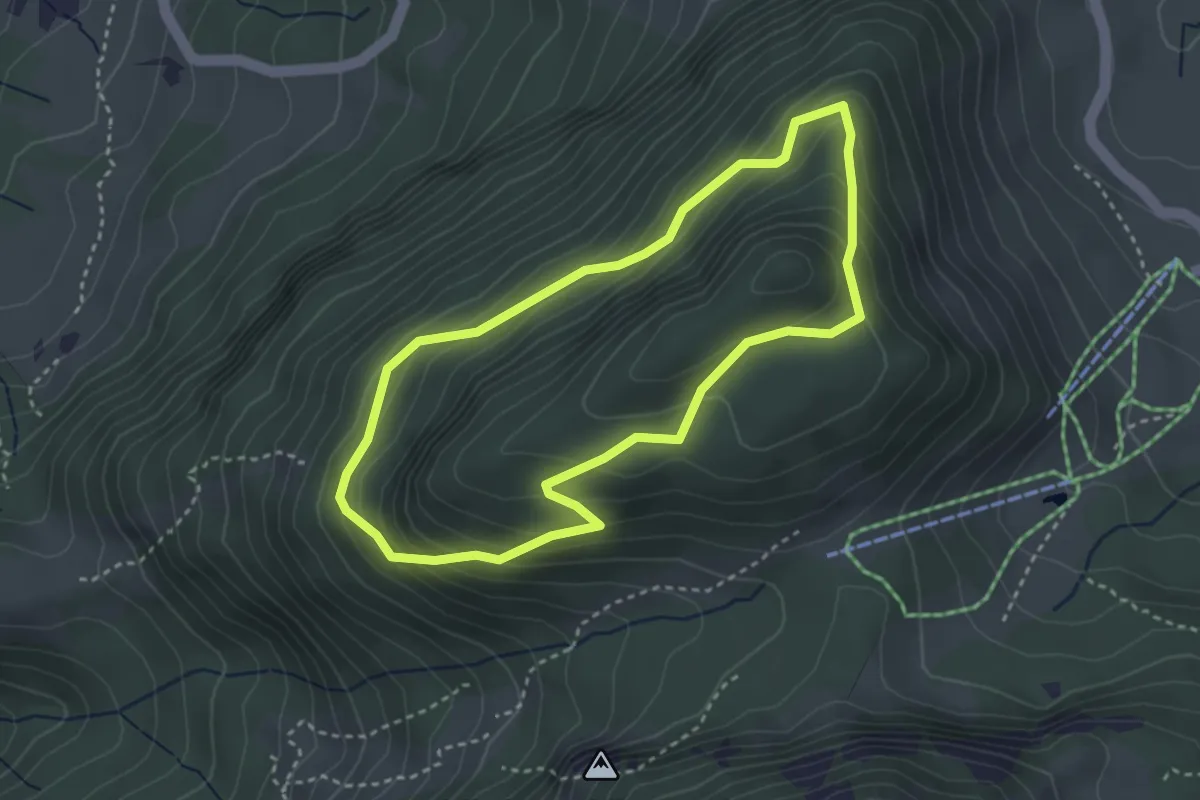
Easy · Summit
Schwarzenberg-Rundweg
3.1 km · ↑ 212 m · 1 h 14 min
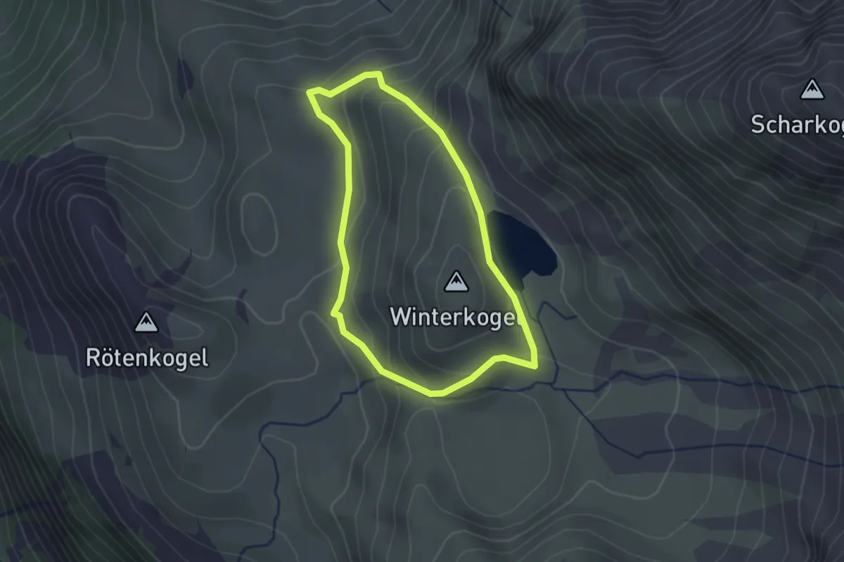
Easy · Summit
Schwarzkarlsee Rundwanderweg
2.1 km · ↑ 115 m · 46 min
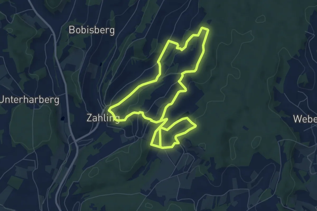
Easy · Trail
Schwarzstorchweg
7.8 km · ↑ 187 m · 2 h 22 min
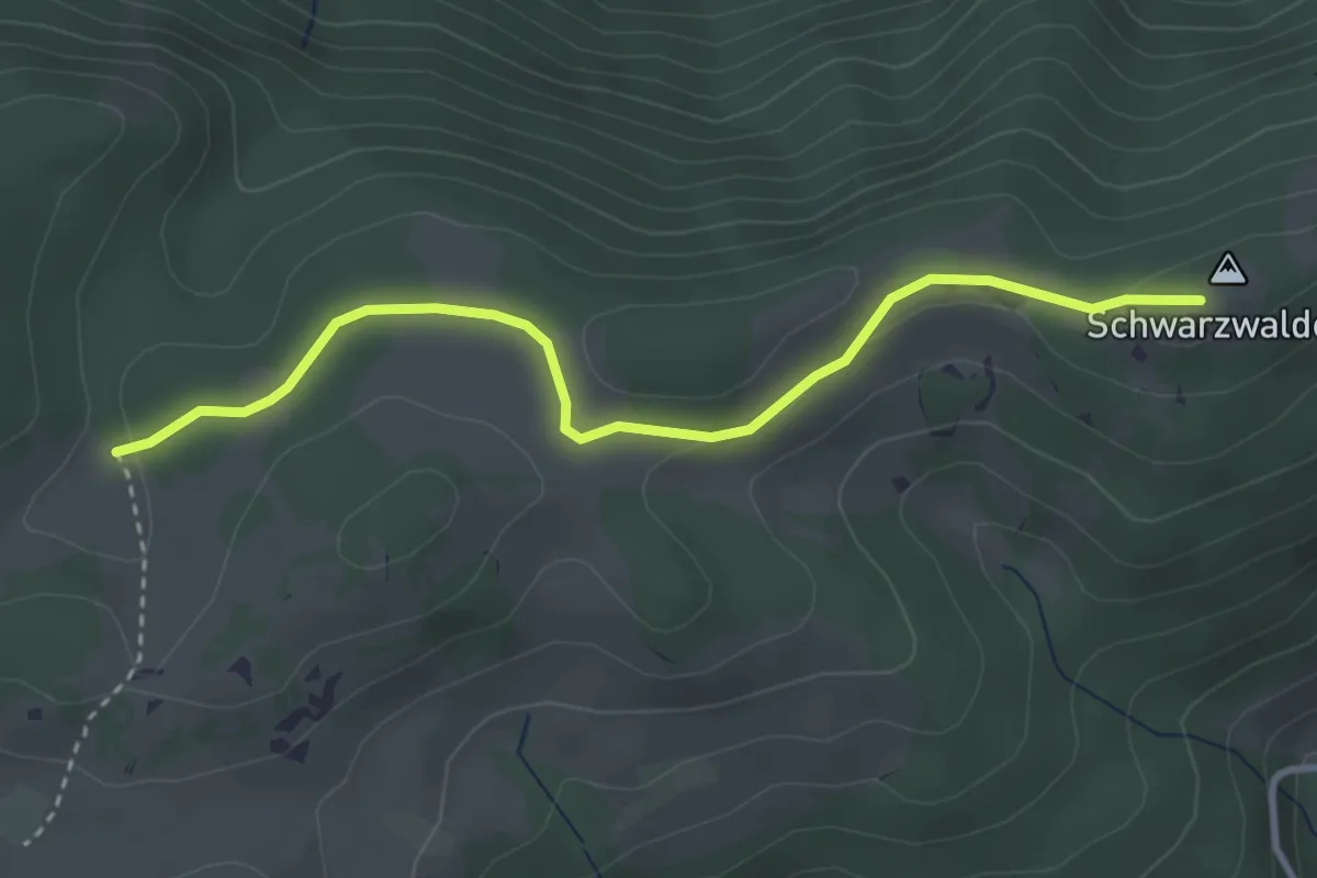
Easy · Trail
Schwarzwaldeckhaus - Anschluß Waldmarkweg 622
3.3 km · ↑ 68 m · 56 min
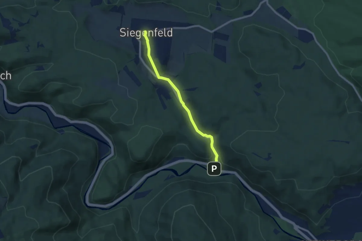
Easy · Trail
Schwechattal - Rosental - Siegenfeld
5.6 km · ↑ 155 m · 1 h 39 min
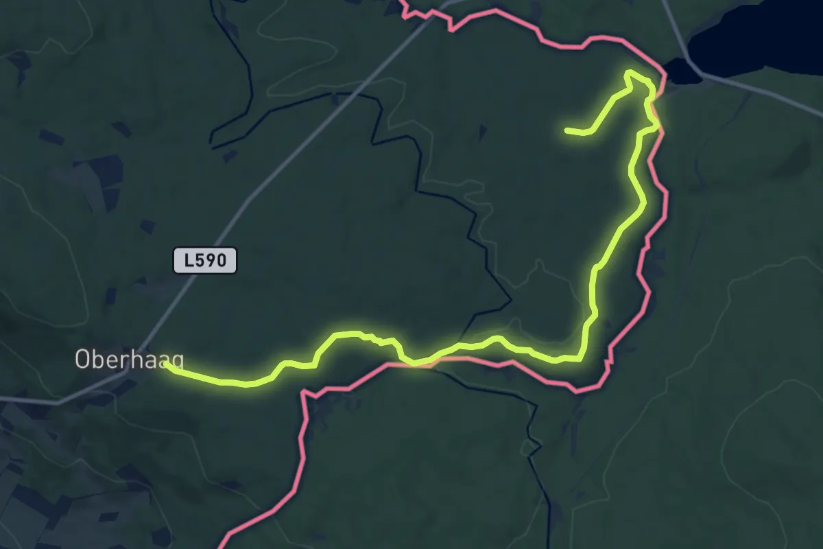
Easy · Trail
Schwemmkanalrunde
6.7 km · ↑ 32 m · 1 h 47 min
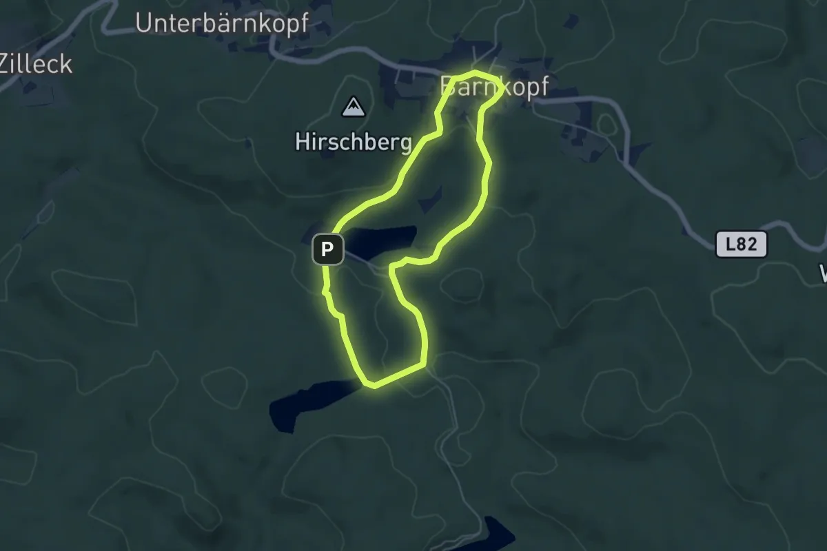
Easy · Trail
Schwemmweg
4.3 km · ↑ 87 m · 1 h 16 min
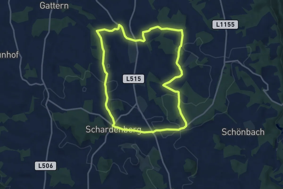
Medium · Trail
Schwendt-Bach Runde
8.5 km · ↑ 171 m · 2 h 30 min
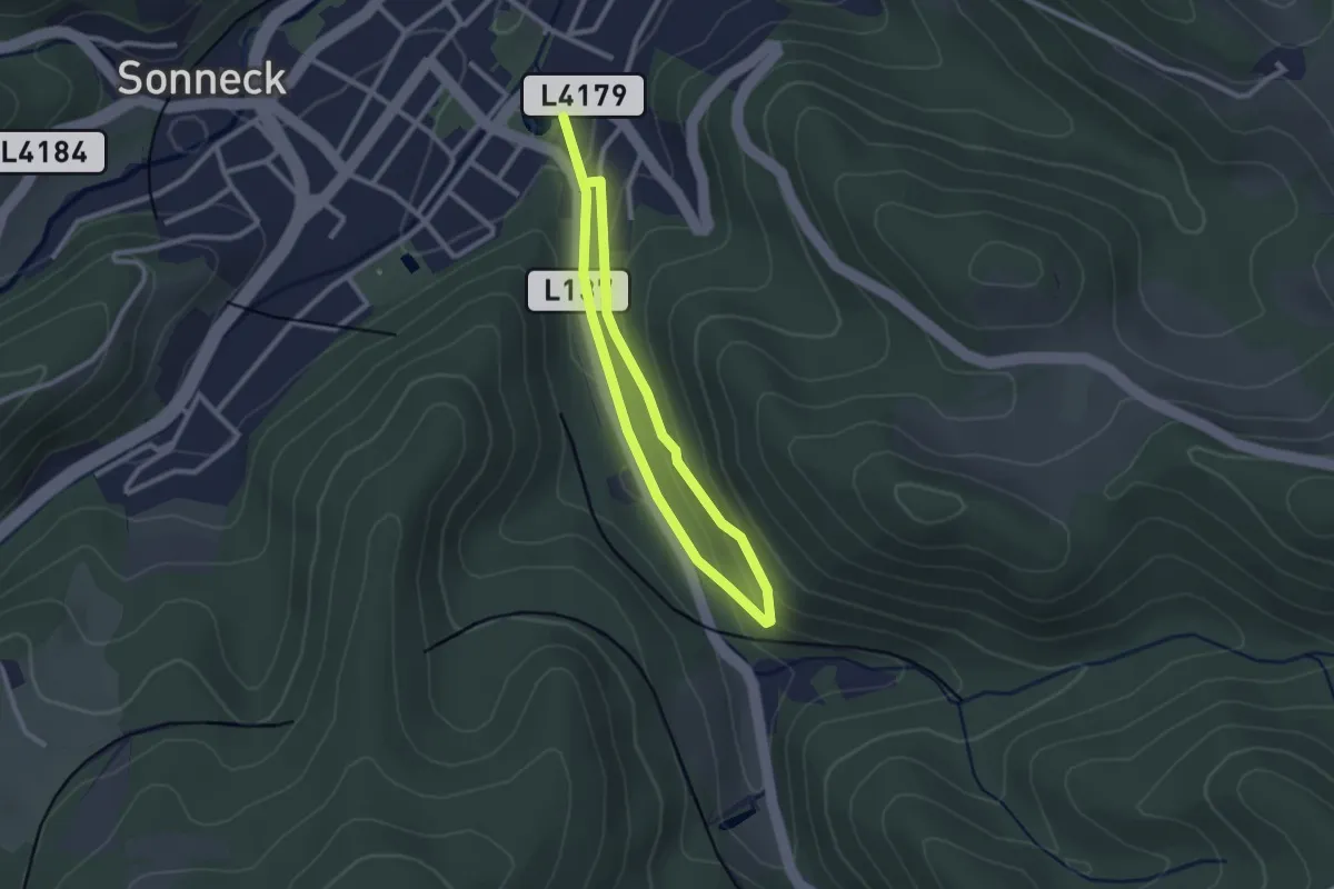
Easy · Trail
Schwingerpromenaderunde
2.1 km · ↑ 75 m · 41 min
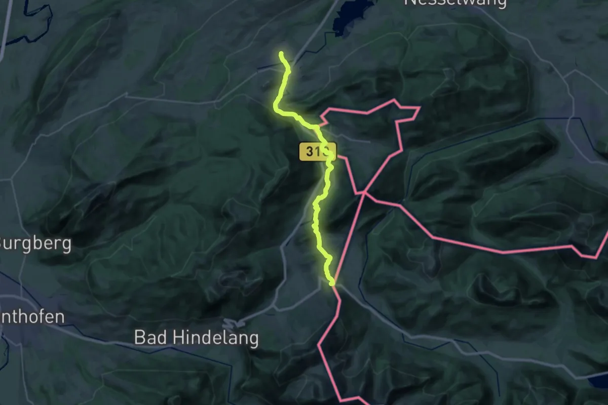
Demanding · Trail
Sebald-Weg
23.5 km · ↑ 392 m · 6 h 23 min
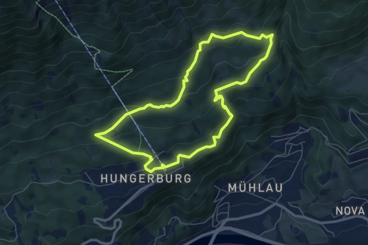
Medium · Trail
Sebastian-Kandler-Lauf
5.5 km · ↑ 226 m · 1 h 52 min
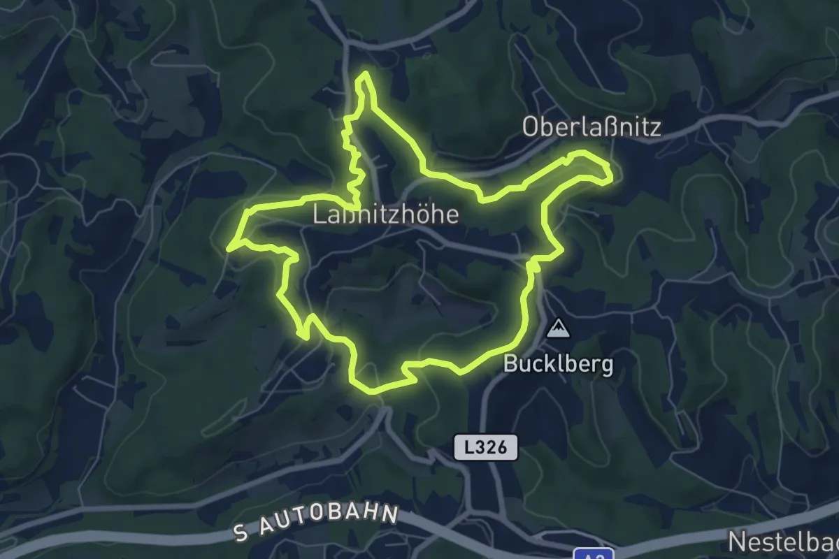
Easy · Trail
Sebastian reloaded
7.1 km · ↑ 221 m · 2 h 16 min
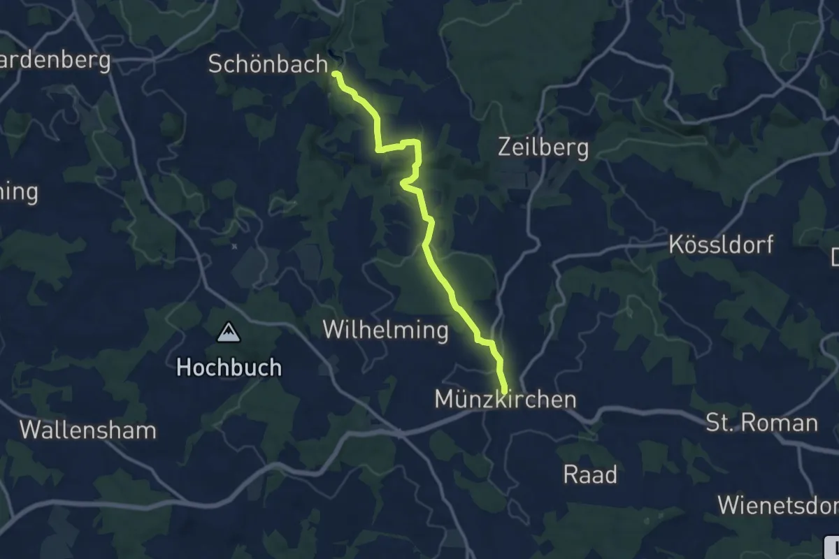
Medium · Trail
Sebastianweg
10.2 km · ↑ 286 m · 3 h 2 min
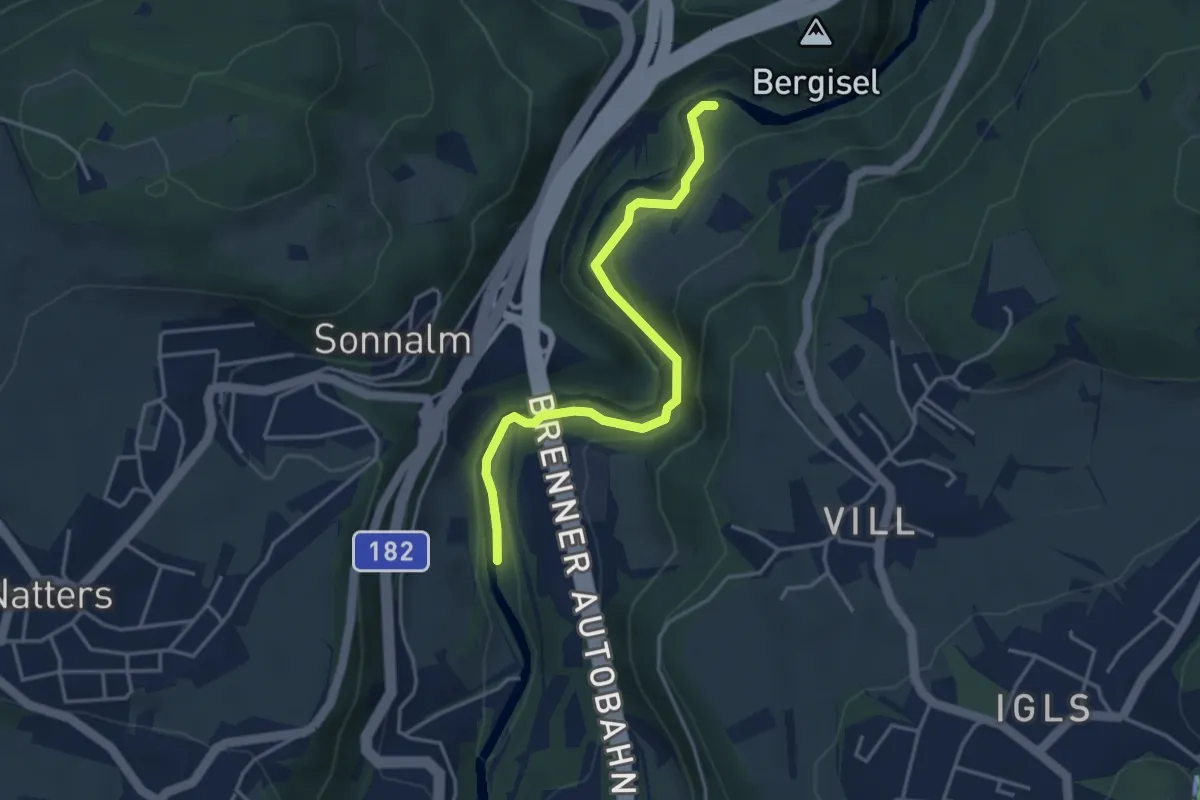
Demanding · Trail
Seberinysteig
3.8 km · ↑ 172 m · 1 h 17 min
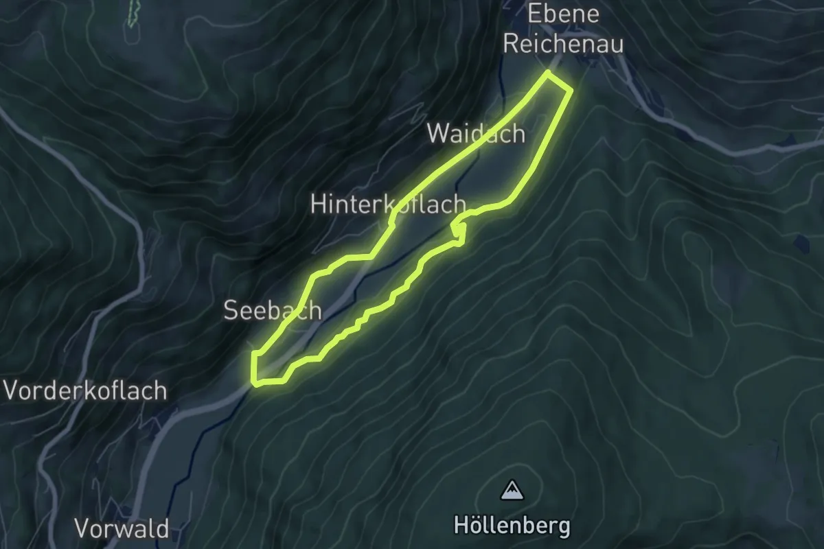
Easy · Trail
Seebachrunde
5.7 km · ↑ 67 m · 1 h 34 min
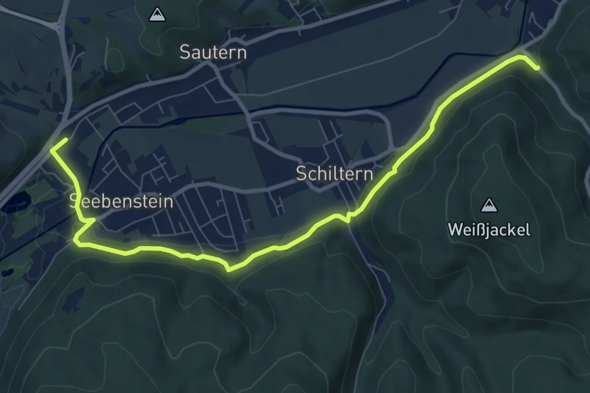
Medium · Trail
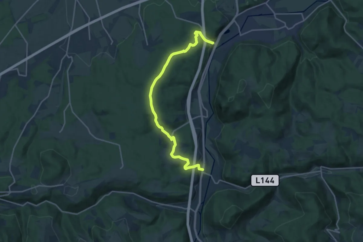
Seebenstein Bahnhof - Waldlehrpfad - Schiltern - Pitten
8.7 km · ↑ 136 m · 2 h 21 min
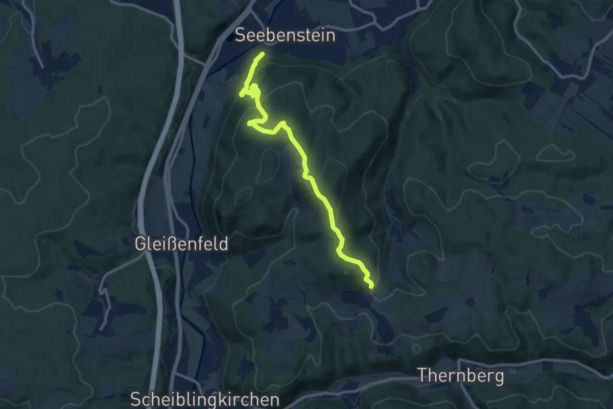
Medium · Trail
Seebenstein - Scheiblingkirchen
14.2 km · ↑ 391 m · 4 h 11 min
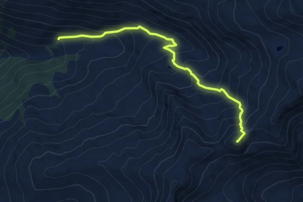
Medium · Trail
Seebenstein - Weingart über Burg Seebenstein
9.6 km · ↑ 353 m · 3 h 2 min
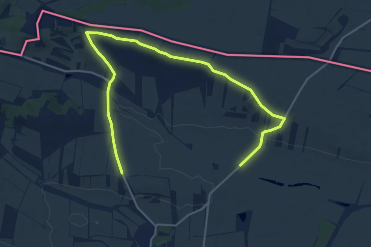
Medium · Summit
Seeblesspitze
6.9 km · ↑ 716 m · 3 h 11 min
Medium · Trail
Seefeld-Kadolz: Vier-Jahreszeiten-Weg
12.4 km · ↑ 158 m · 3 h 16 min
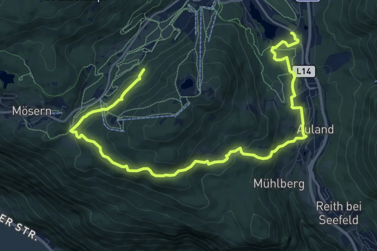
Medium · Trail
Seefeld - Mösern
15.2 km · ↑ 532 m · 4 h 44 min
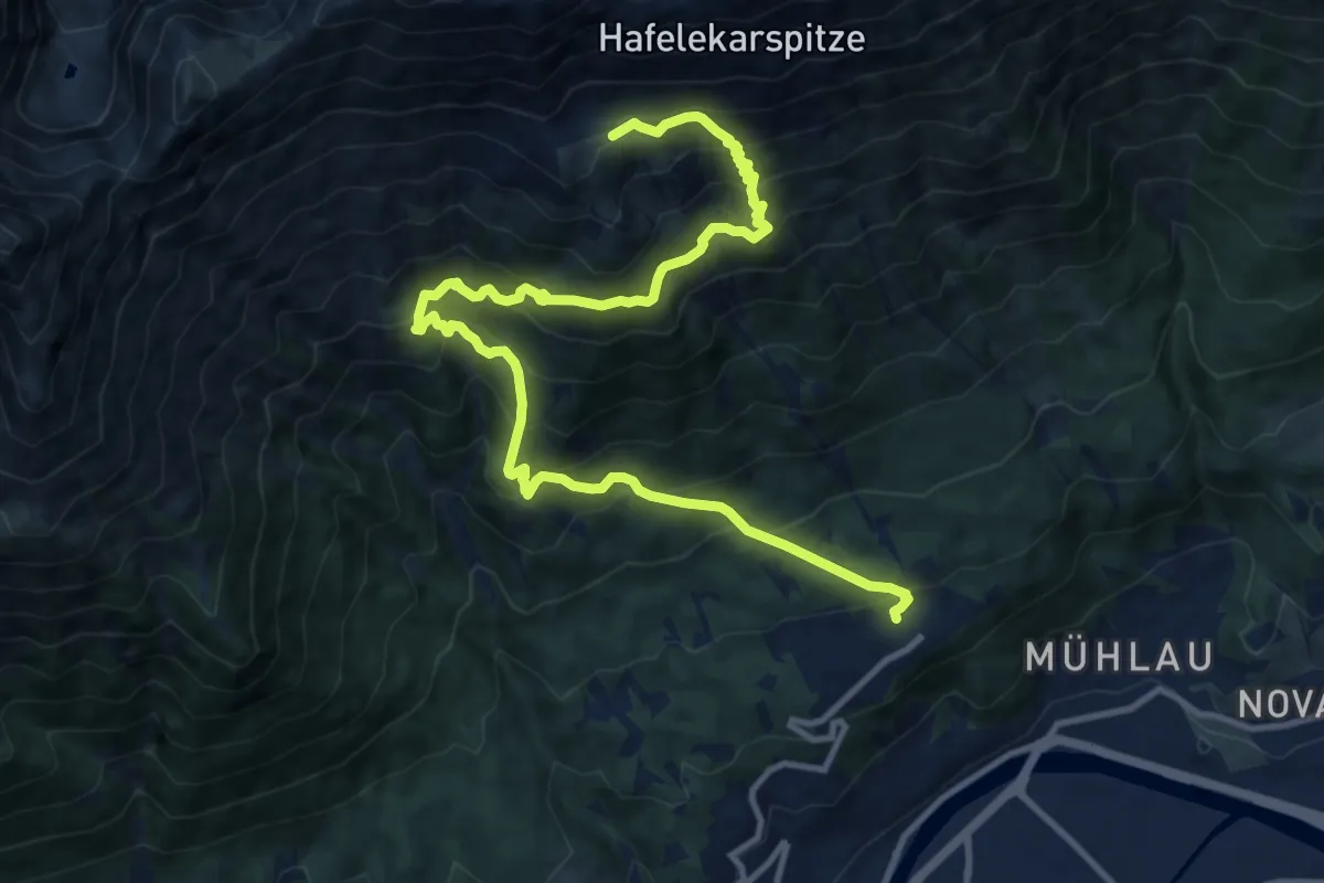
Demanding · Trail
Seegruben-Trophy
14.1 km · ↑ 1089 m · 5 h 42 min
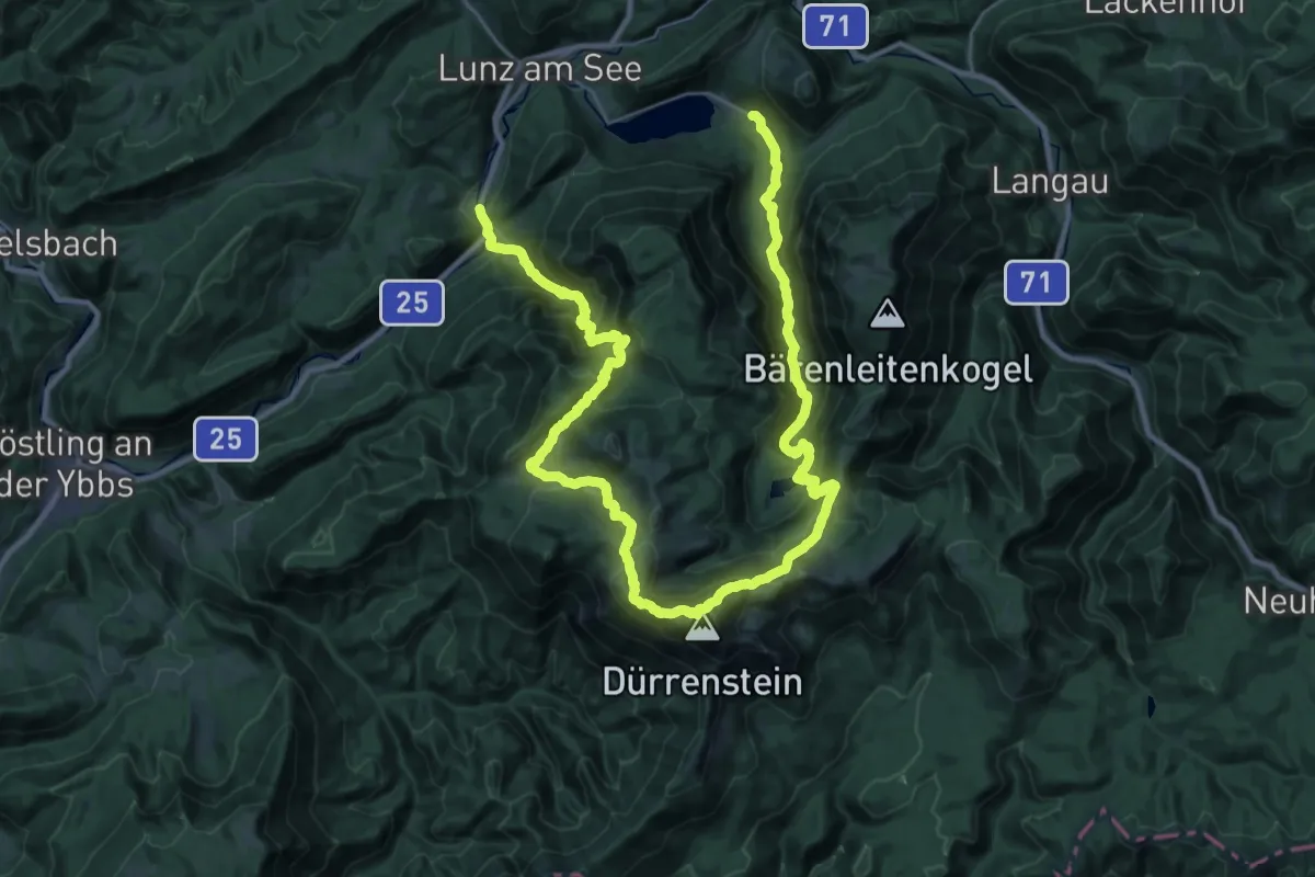
Demanding · Trail
Seehof - Obersee - Dürrenstein - Ybbstaler Hütte - Kasten
22.0 km · ↑ 1382 m · 8 h 30 min
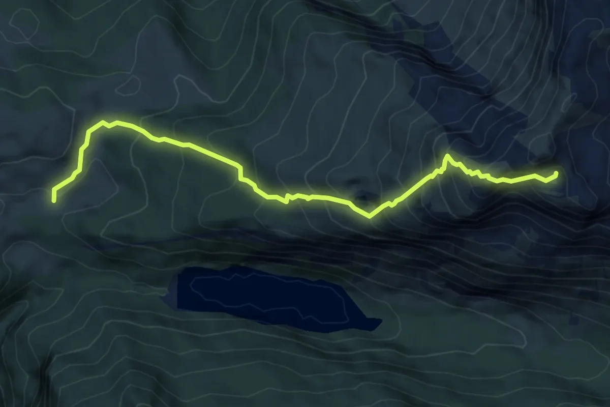
Demanding · Summit
Seehorn
7.2 km · ↑ 891 m · 3 h 37 min
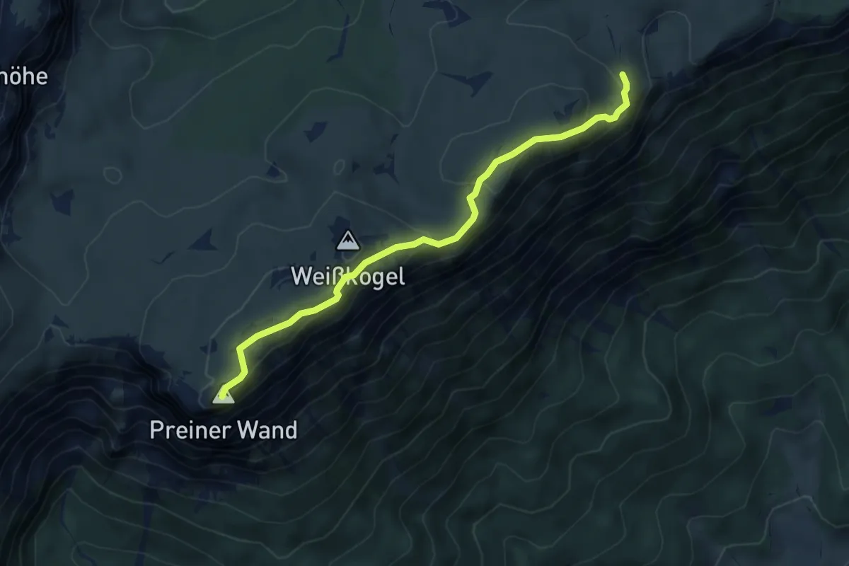
Medium · Summit
Seehütte - Preinerwand-Kreuz - Ottohaus
5.3 km · ↑ 235 m · 1 h 46 min
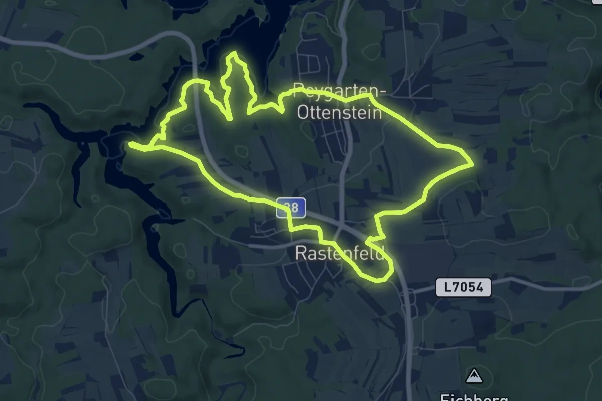
Medium · Trail
Seelaufrunde
8.9 km · ↑ 121 m · 2 h 29 min
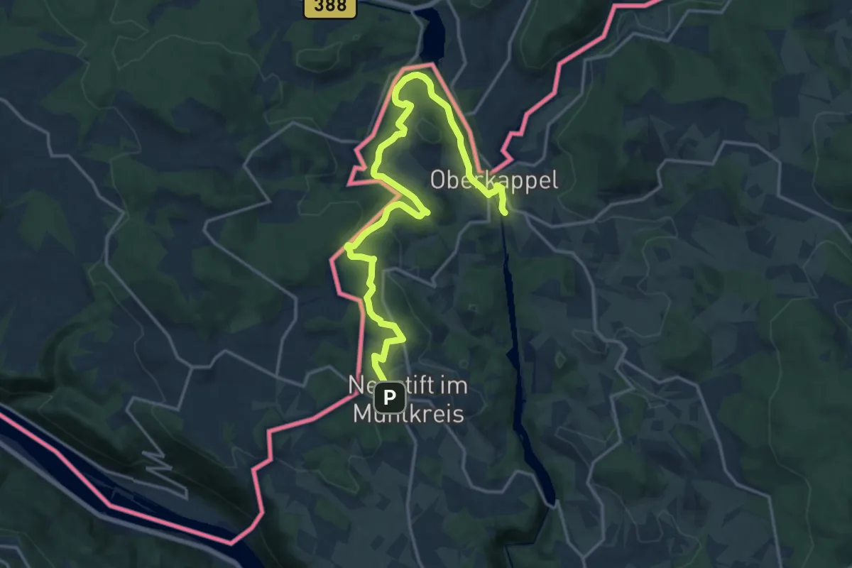
Medium · Trail
Seenweg
9.0 km · ↑ 185 m · 2 h 41 min
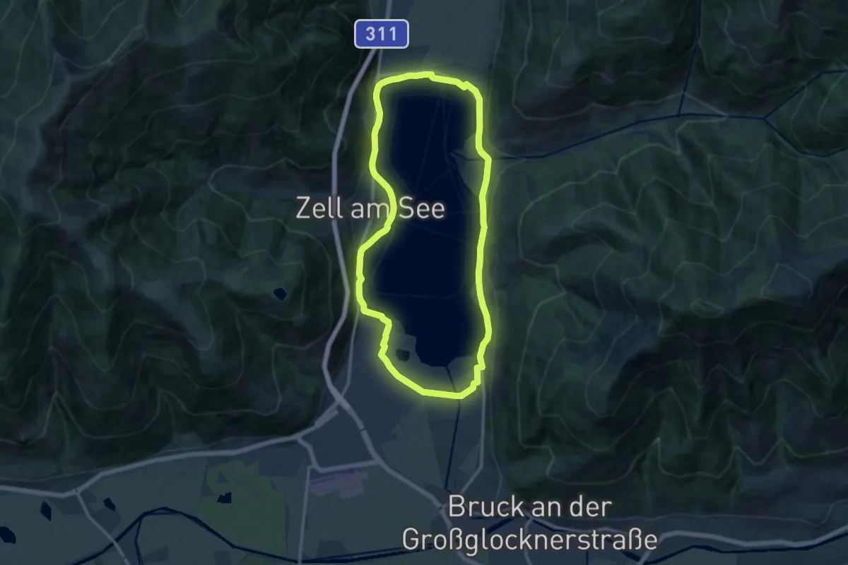
Medium · Trail
Seepromenade
11.1 km · ↑ 18 m · 2 h 49 min
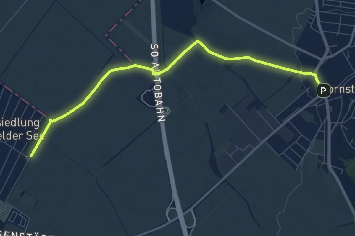
Medium · Trail
Seerunde
8.0 km · ↑ 32 m · 1 h 58 min
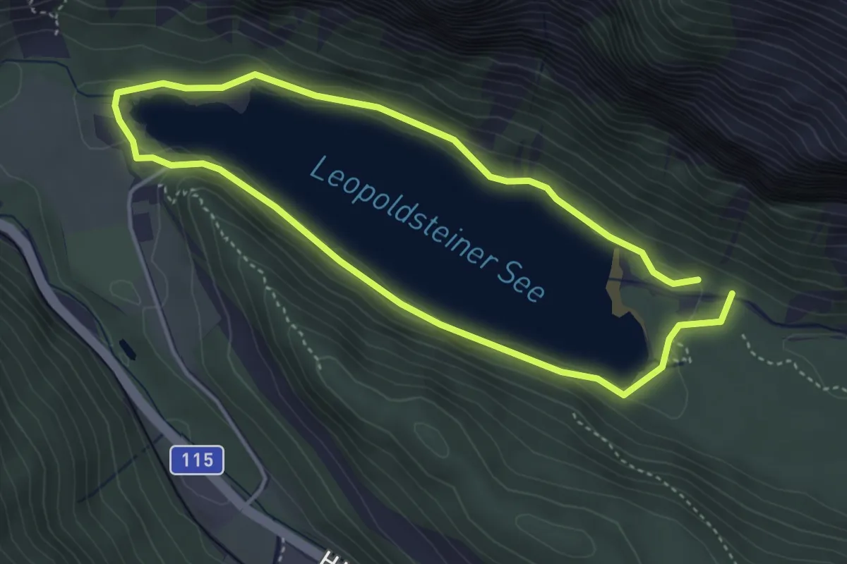
Easy · Trail
Seerundgang
3.6 km · ↑ 19 m · 56 min
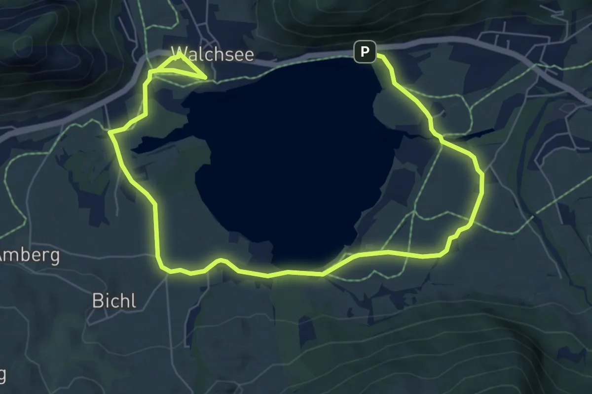
Medium · Trail
See-Rundgang
10.0 km · ↑ 45 m · 2 h 27 min
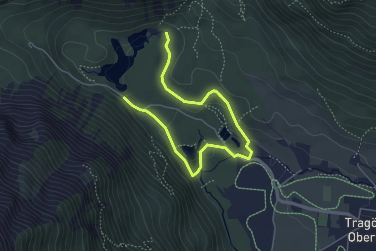
Easy · Trail
Seerundweg
2.5 km · ↑ 39 m · 43 min
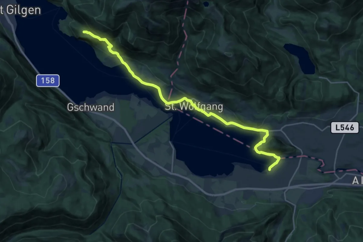
Demanding · Summit
Seerundweg Natur + Kultur
20.5 km · ↑ 447 m · 5 h 49 min
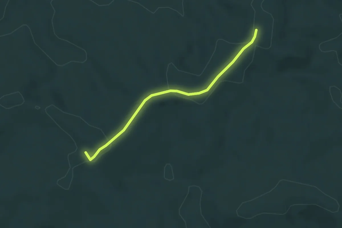
Easy · Trail
Seetalweg
3.7 km · ↑ 23 m · 55 min
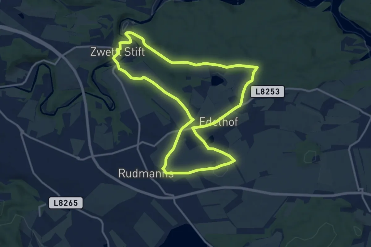
Medium · Trail
Seeteichweg 11
9.5 km · ↑ 136 m · 2 h 40 min
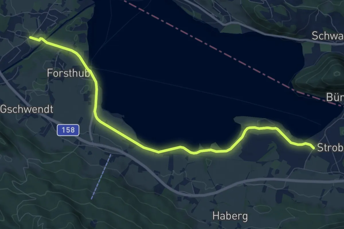
Medium · Trail
Seeuferweg Strobl-Abersee
10.4 km · ↑ 9 m · 2 h 29 min
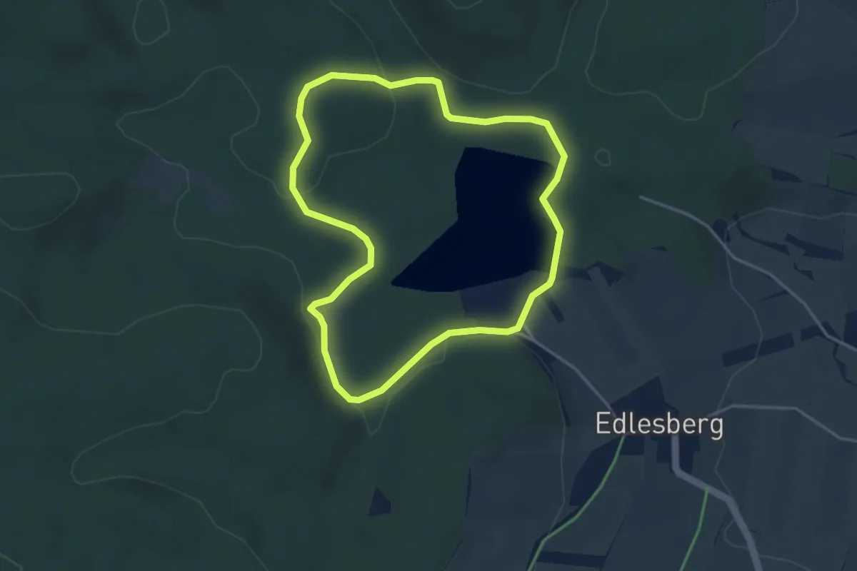
Easy · Trail
See- Wald-Rundweg
3.4 km · ↑ 33 m · 56 min
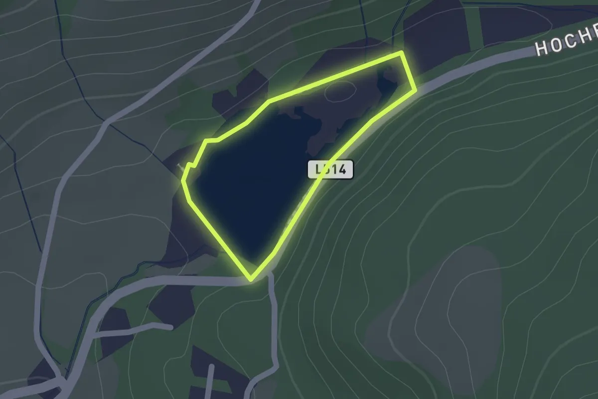
Easy · Trail
Seewanderweg um den Gellsee
1.1 km · ↑ 0 m · 16 min
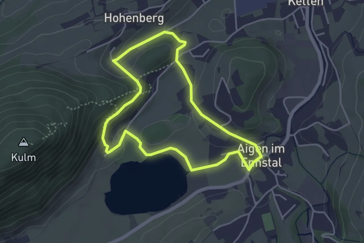
Easy · Trail
Seeweg
3.4 km · ↑ 62 m · 59 min
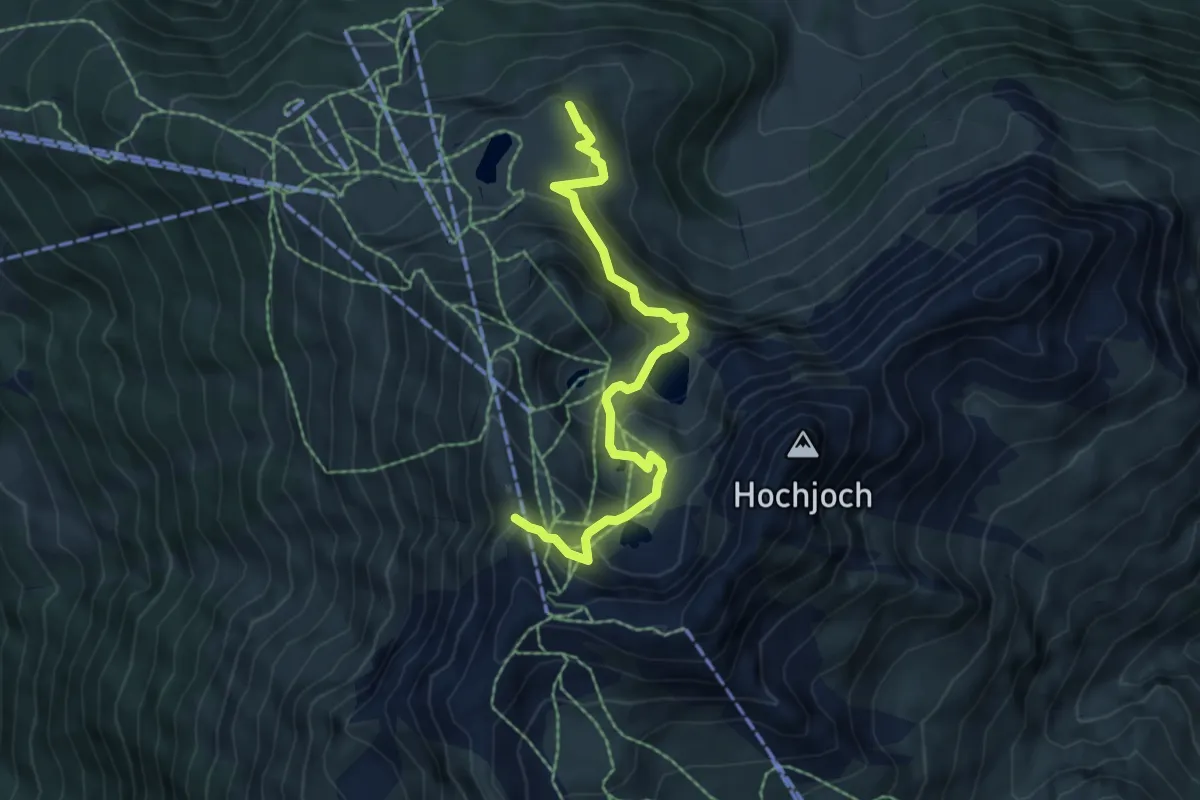
Medium · Summit
Seeweg
6.1 km · ↑ 455 m · 2 h 25 min
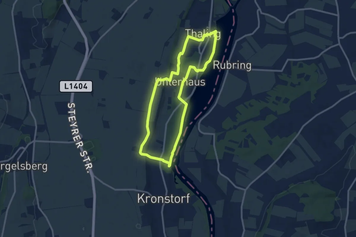
Easy · Trail
Seewegrunde
7.7 km · ↑ 39 m · 2 h 1 min
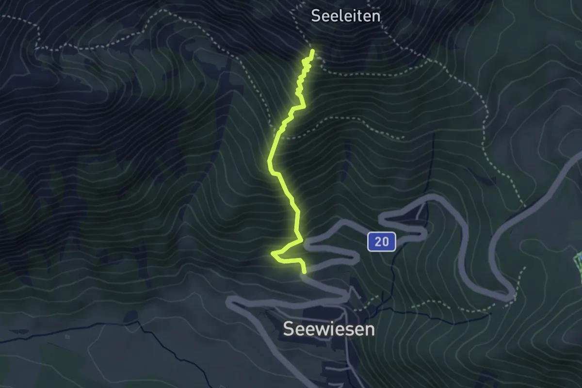
Medium · Trail
Seewiesen - Seeleiten - Aflenzer Staritzen
2.8 km · ↑ 498 m · 1 h 45 min
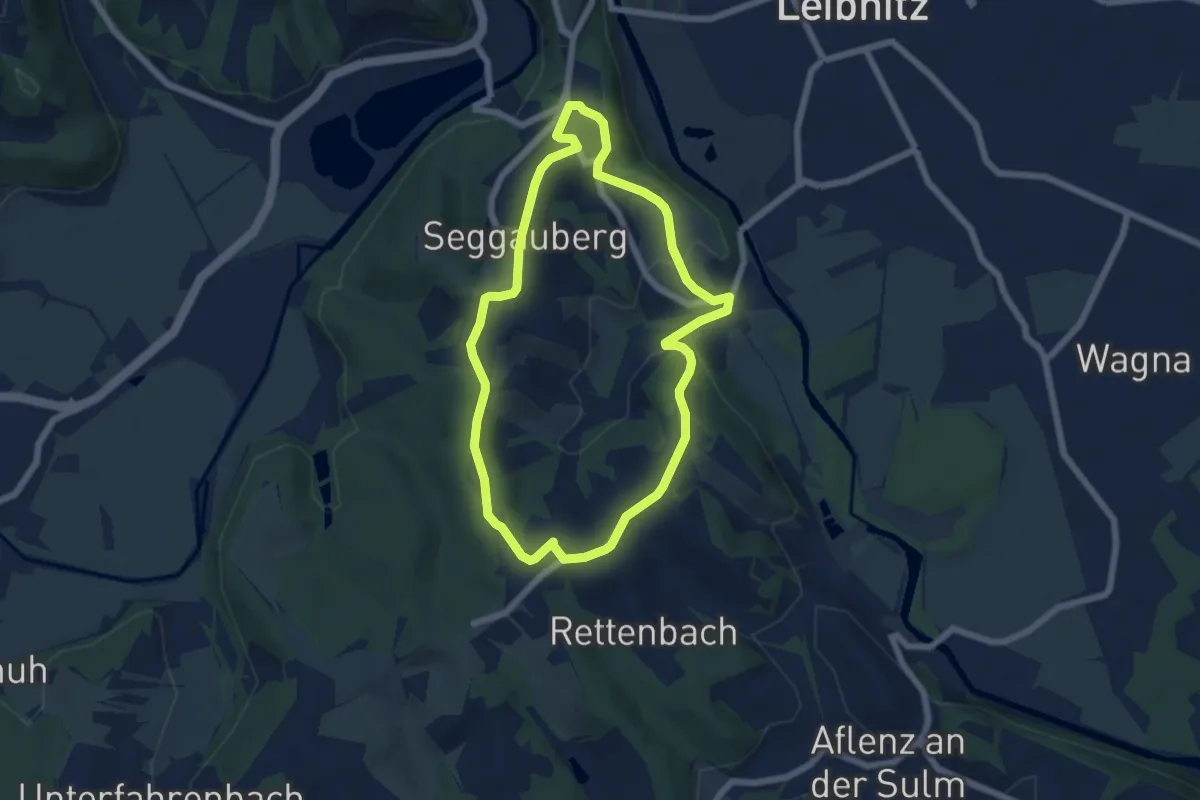
Easy · Trail
Seggauberger Genussplatzrunde
5.7 km · ↑ 177 m · 1 h 49 min
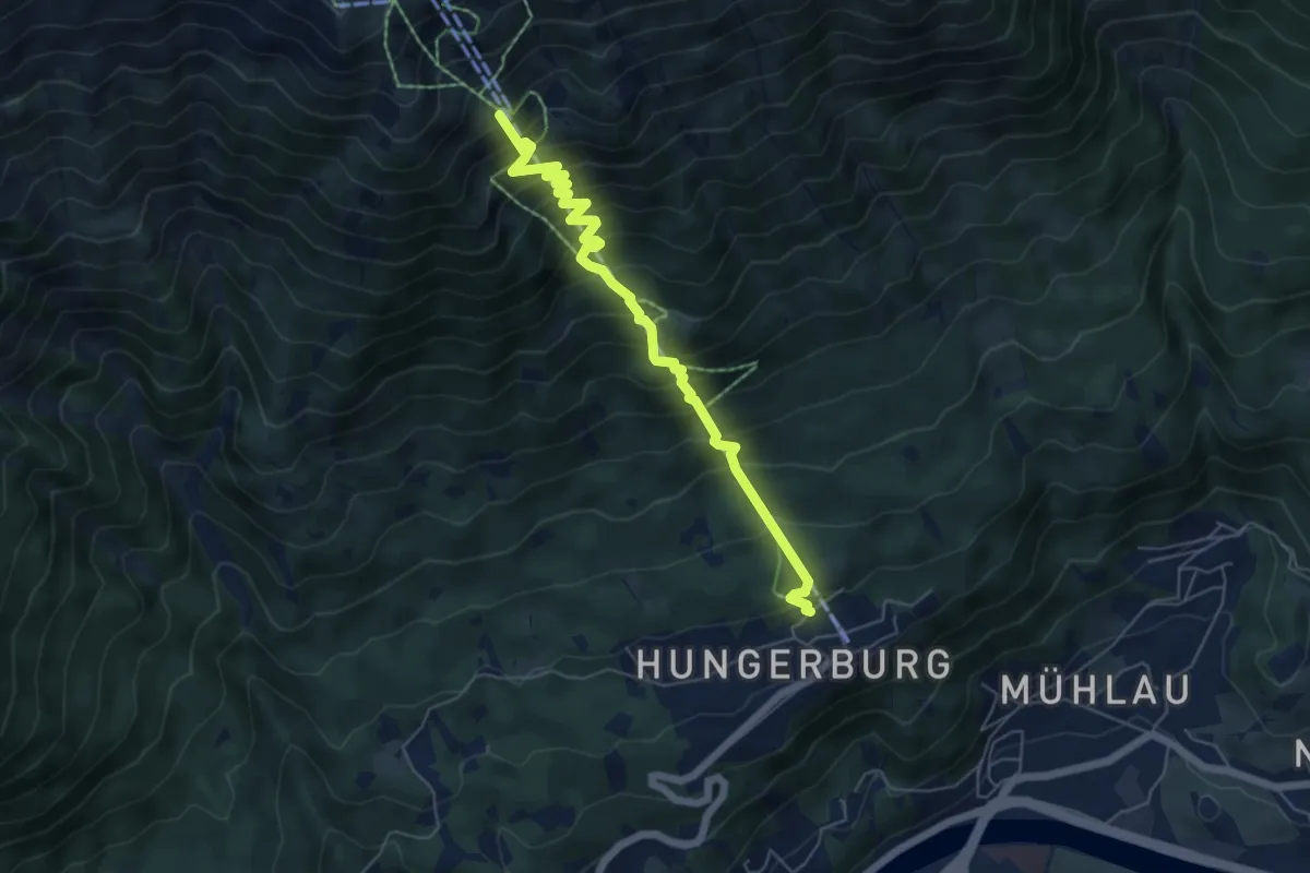
Demanding · Trail
Seilbahnsteig
6.0 km · ↑ 807 m · 3 h 9 min