Trails in Austria
9,777 hiking trails, each with its route, climb, walking time and grade.
All trails, page 105 of 204
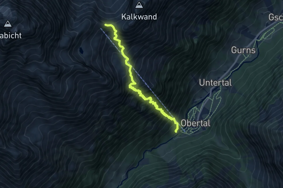
Demanding · Cabin
Seilbahnsteig Innsbrucker Hütte
7.1 km · ↑ 1067 m · 3 h 59 min
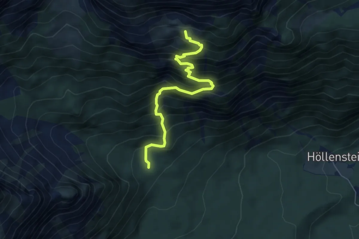
Medium · Trail
Seiterlingsteig
5.4 km · ↑ 742 m · 2 h 53 min
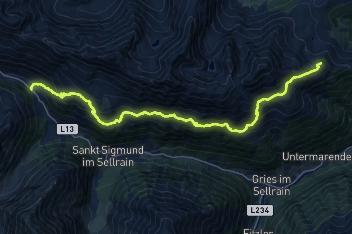
Demanding · Summit
Sellraintaler Höhenwanderweg
20.8 km · ↑ 1467 m · 8 h 6 min
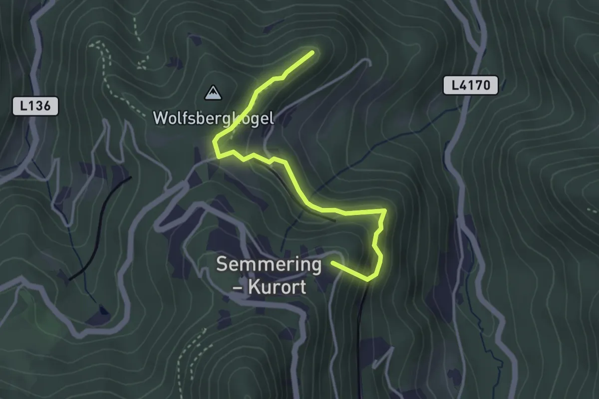
Easy · Summit
Semmering Bhf - Doppelreiterwarte
3.1 km · ↑ 187 m · 1 h 8 min
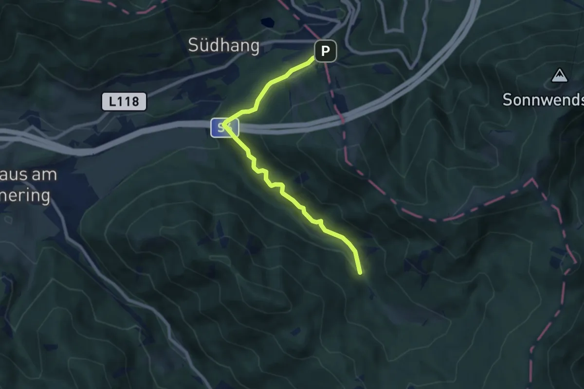
Easy · Trail
Semmering - Dürrgraben
6.8 km · ↑ 42 m · 1 h 42 min
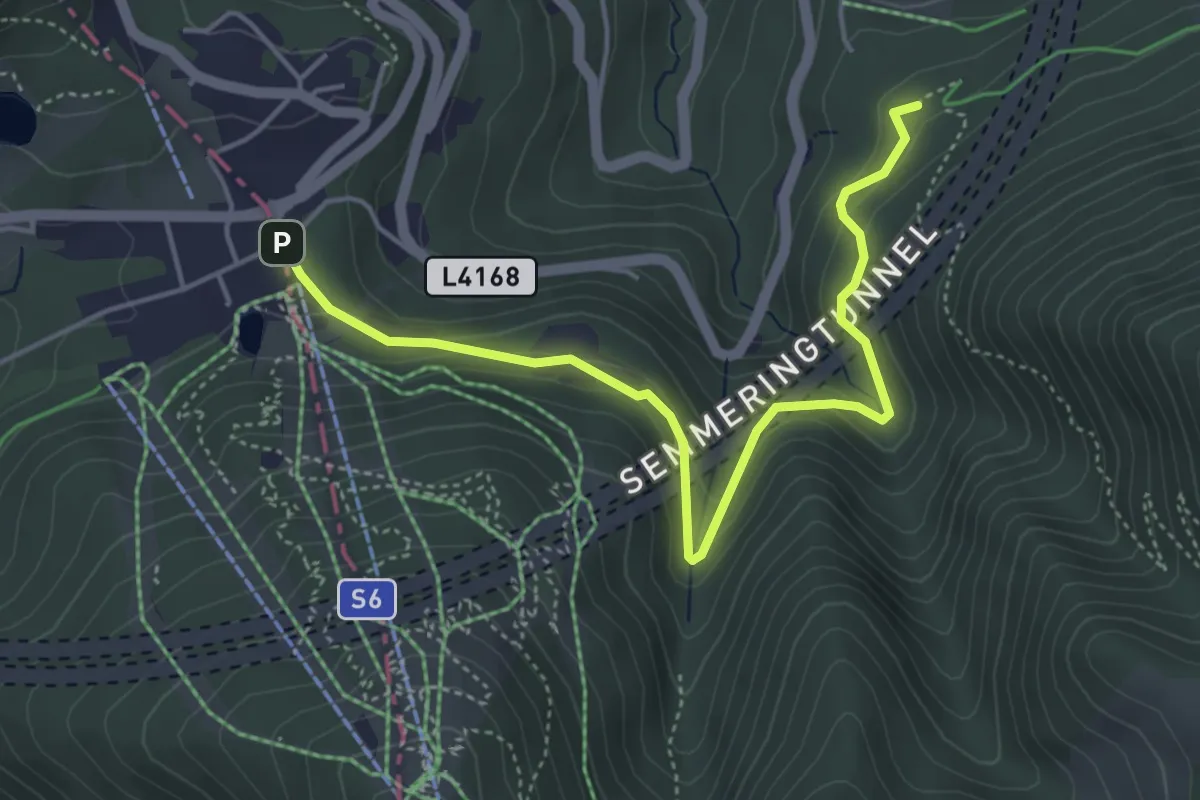
Easy · Trail
Semmering - Greis
4.9 km · ↑ 184 m · 1 h 33 min
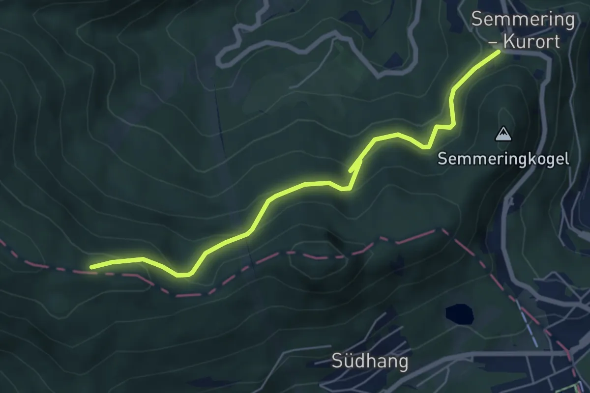
Easy · Trail
Semmering - Ochsnerhöhe - Kampalpe
5.4 km · ↑ 250 m · 1 h 49 min
Medium · Summit
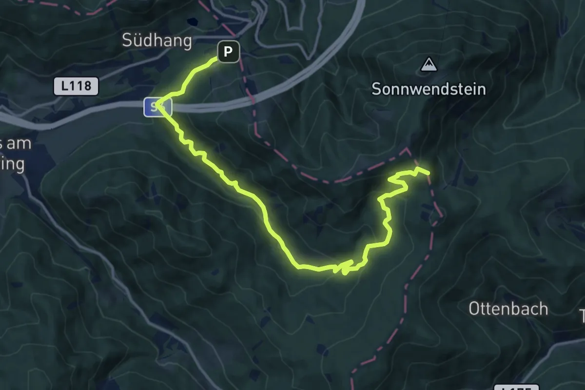
Semmering - Sonnwendstein über Dürrgraben
14.5 km · ↑ 504 m · 4 h 31 min
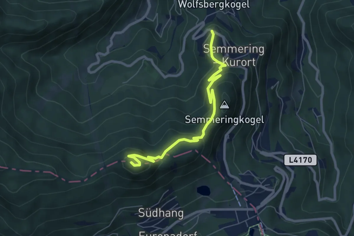
Medium · Summit
Semmering Südbahnhotel - Pinkenkogel
6.0 km · ↑ 329 m · 2 h 7 min
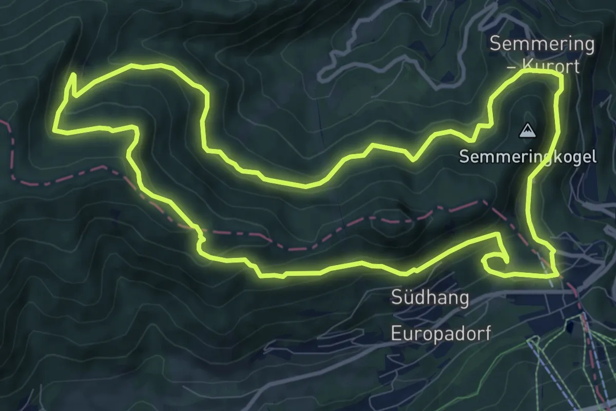
Medium · Trail
Semmering TVN Rundwanderweg
10.7 km · ↑ 351 m · 3 h 26 min
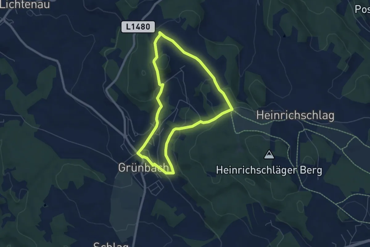
Easy · Summit
Senderweg
5.2 km · ↑ 182 m · 1 h 42 min
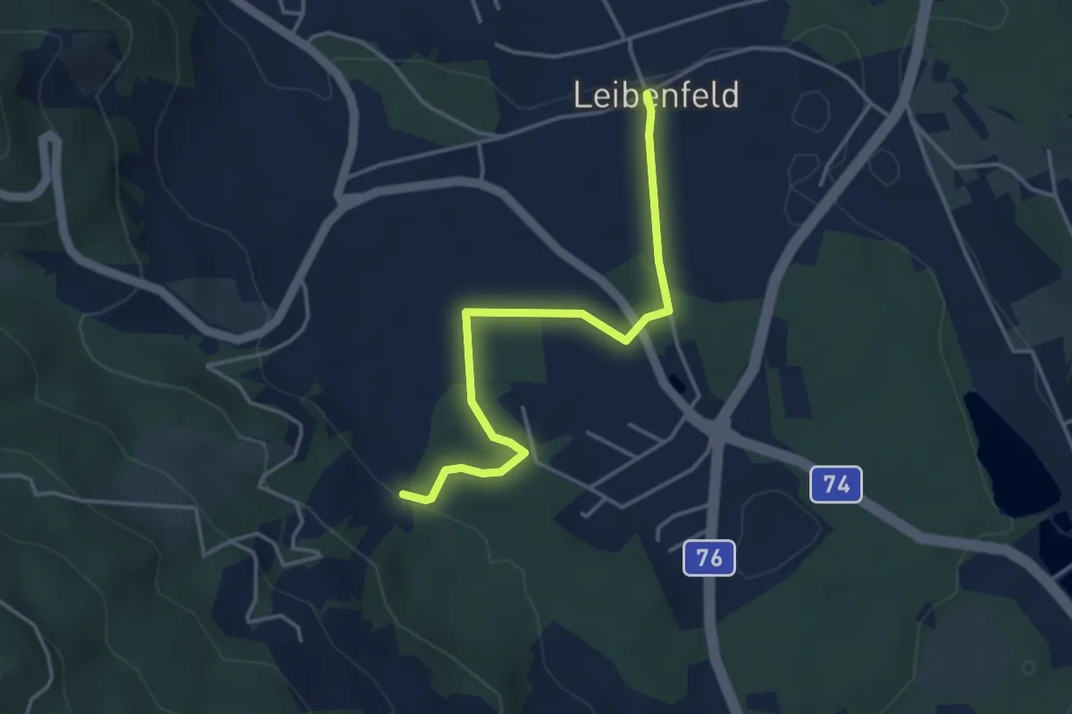
Easy · Trail
Seniorenrundweg
3.7 km · ↑ 43 m · 58 min
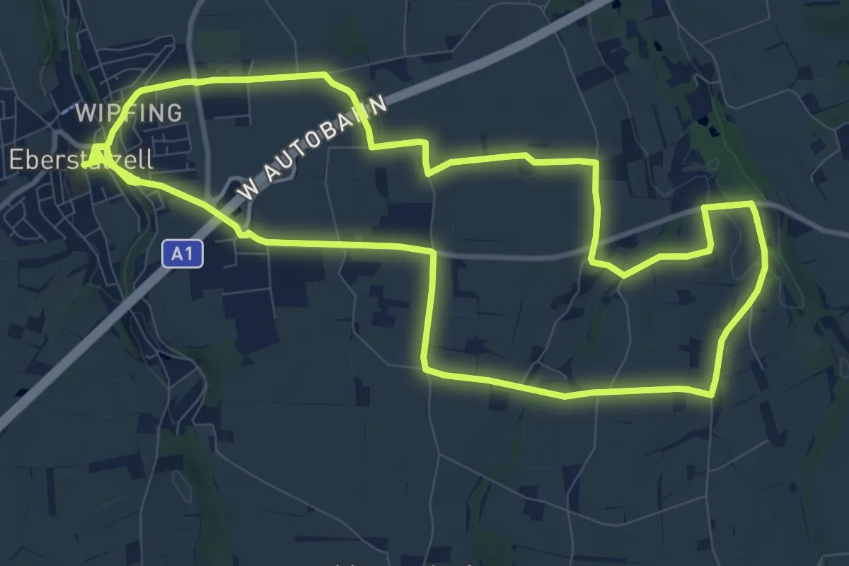
Medium · Trail
Sensotorik Runde
10.7 km · ↑ 75 m · 2 h 51 min
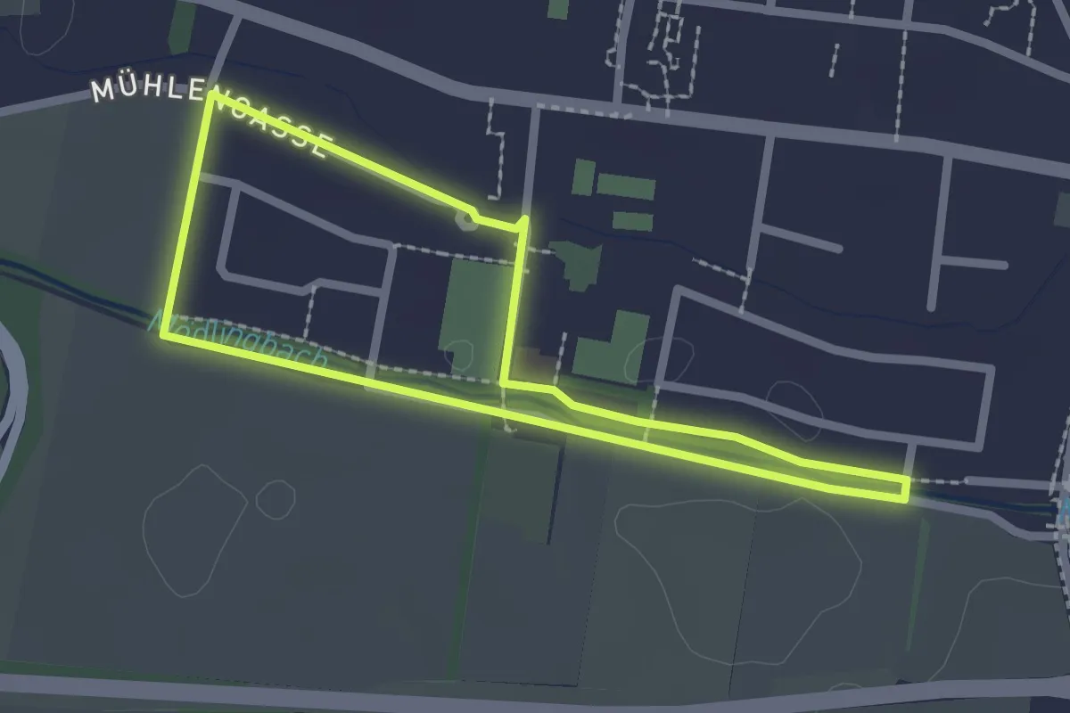
Easy · Trail
Sensotorik Runde
2.0 km · ↑ 4 m · 30 min
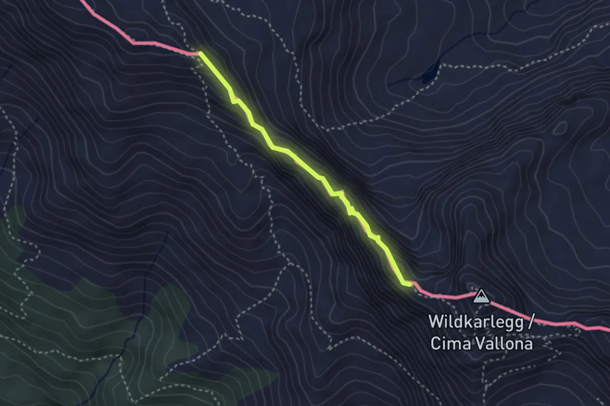
Expert · Trail
Sentiero attrezzato Corrado D'Ambros
2.7 km · ↑ 240 m · 1 h 10 min
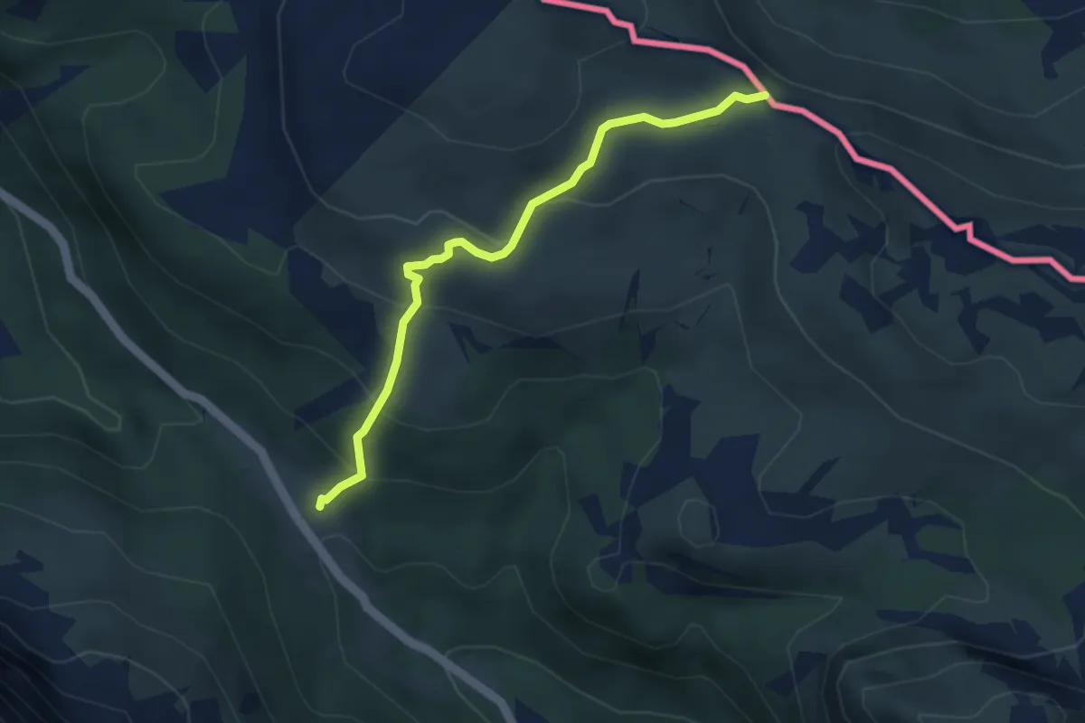
Medium · Cabin
Sentiero del Formaggio
3.8 km · ↑ 239 m · 1 h 24 min
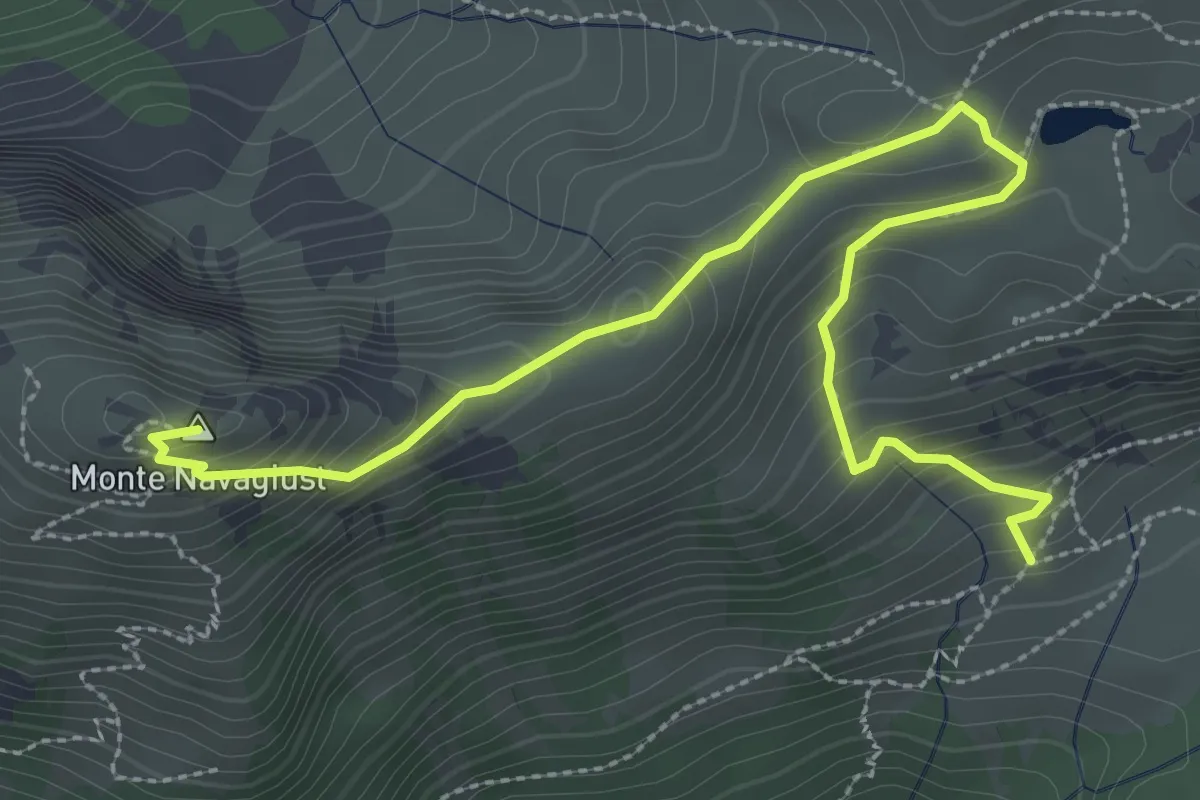
Demanding · Summit
Sentiero Portatrici Carniche della grande guerra
3.6 km · ↑ 255 m · 1 h 25 min
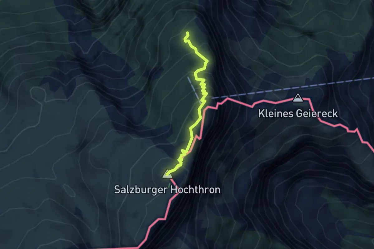
Medium · Summit
Sepp-Forcher-Steig
3.1 km · ↑ 334 m · 1 h 27 min
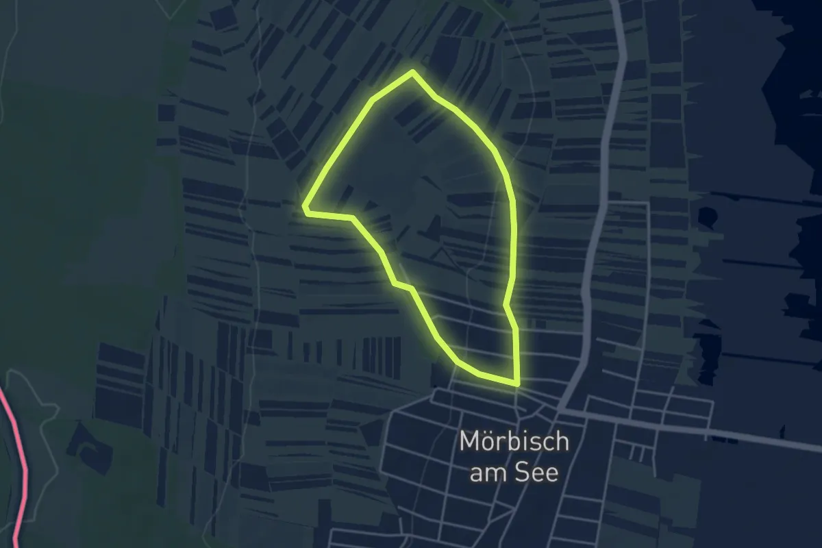
Easy · Trail
Seravinoweg
3.4 km · ↑ 53 m · 58 min
Demanding · Cabin
Sieben Elemente Etappe 3
13.5 km · ↑ 941 m · 5 h 13 min
Demanding · Cabin
Sieben Elemente Etappe 4
15.5 km · ↑ 1353 m · 6 h 16 min
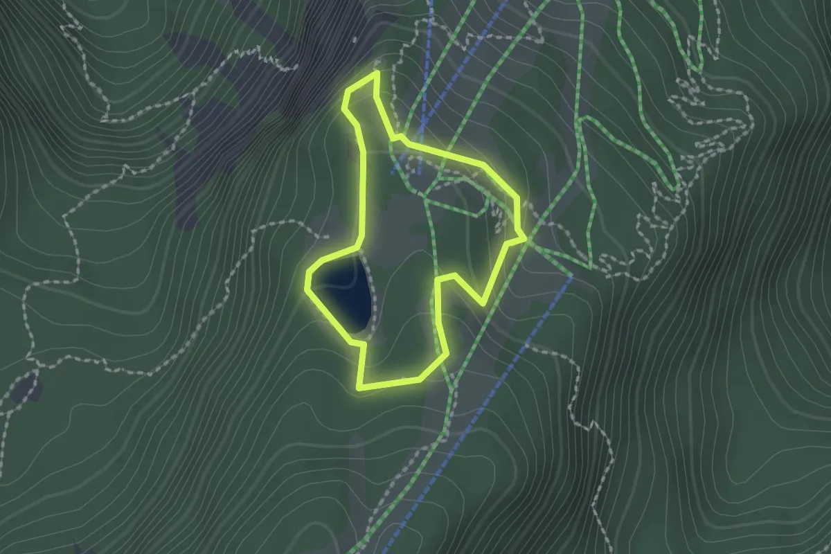
Medium · Trail
Siebenhüttenweg
1.5 km · ↑ 64 m · 31 min
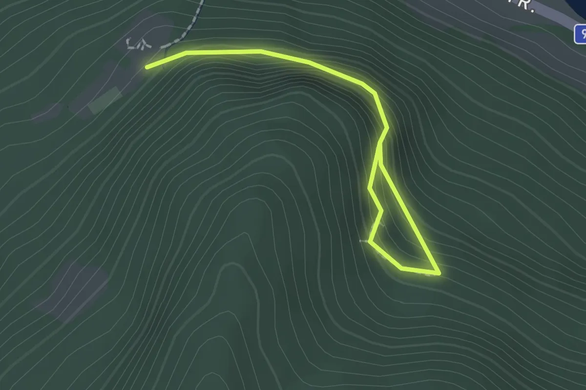
Easy · Trail
Siebenschläferweg
2.0 km · ↑ 137 m · 46 min
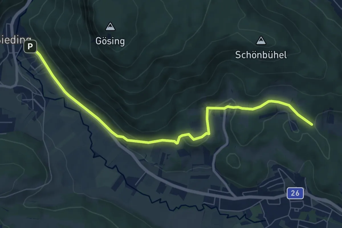
Easy · Trail
Sieding - Hintenburg - Richtung St. Johann
7.9 km · ↑ 196 m · 2 h 17 min
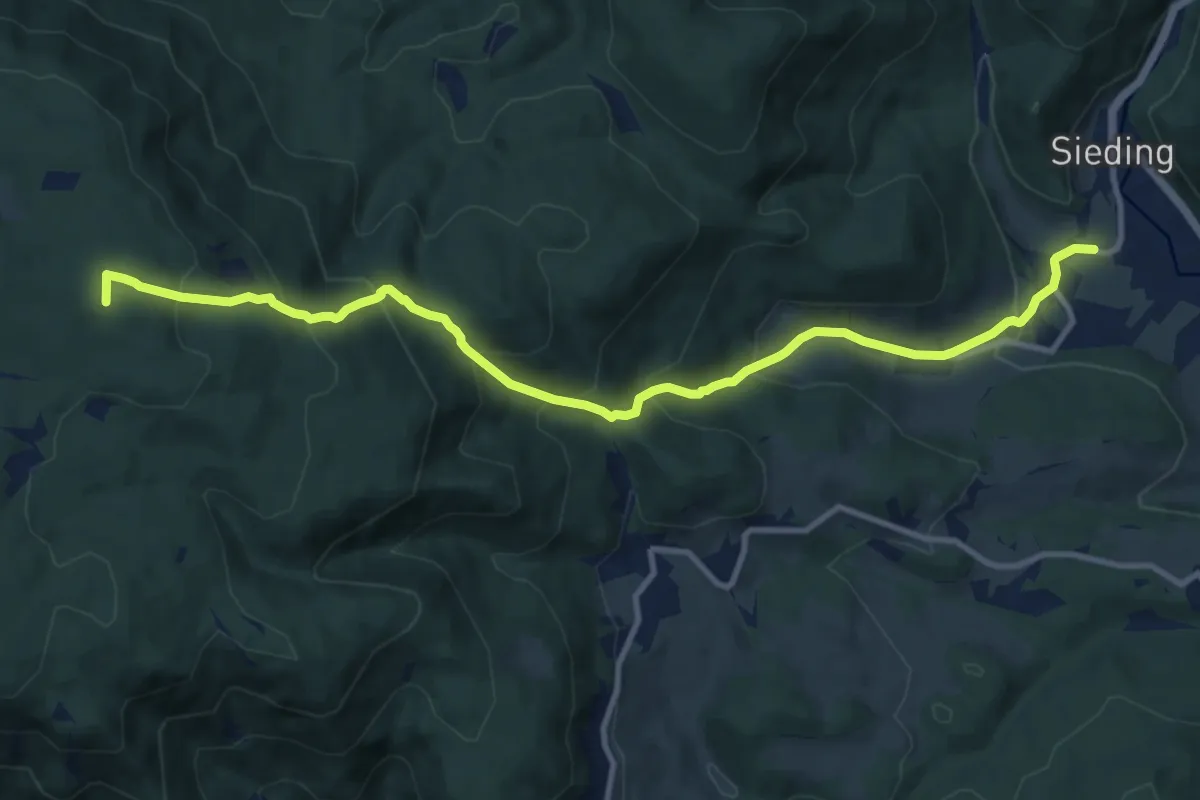
Medium · Summit
Sieding - Thann - Steinfelderhütte - Bürschhof
11.7 km · ↑ 773 m · 4 h 27 min
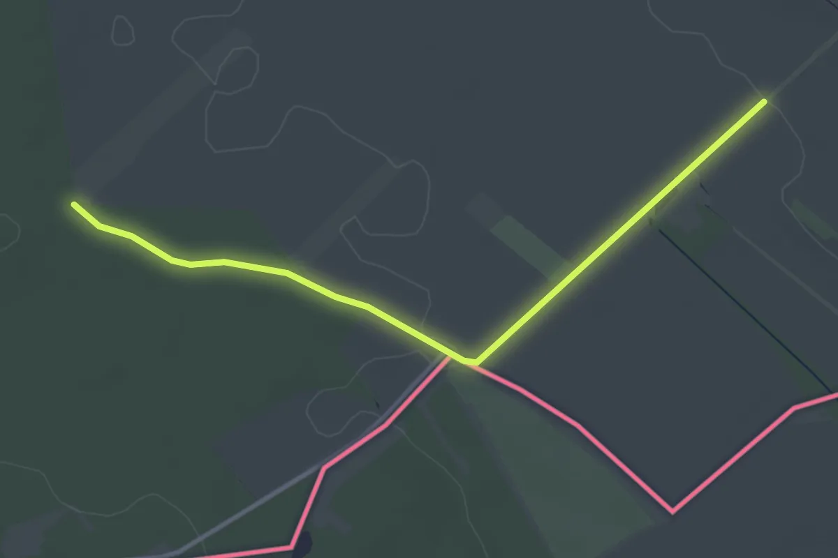
Easy · Trail
Siegendorfer Naturfreunde-Wanderweg
3.5 km · ↑ 18 m · 52 min
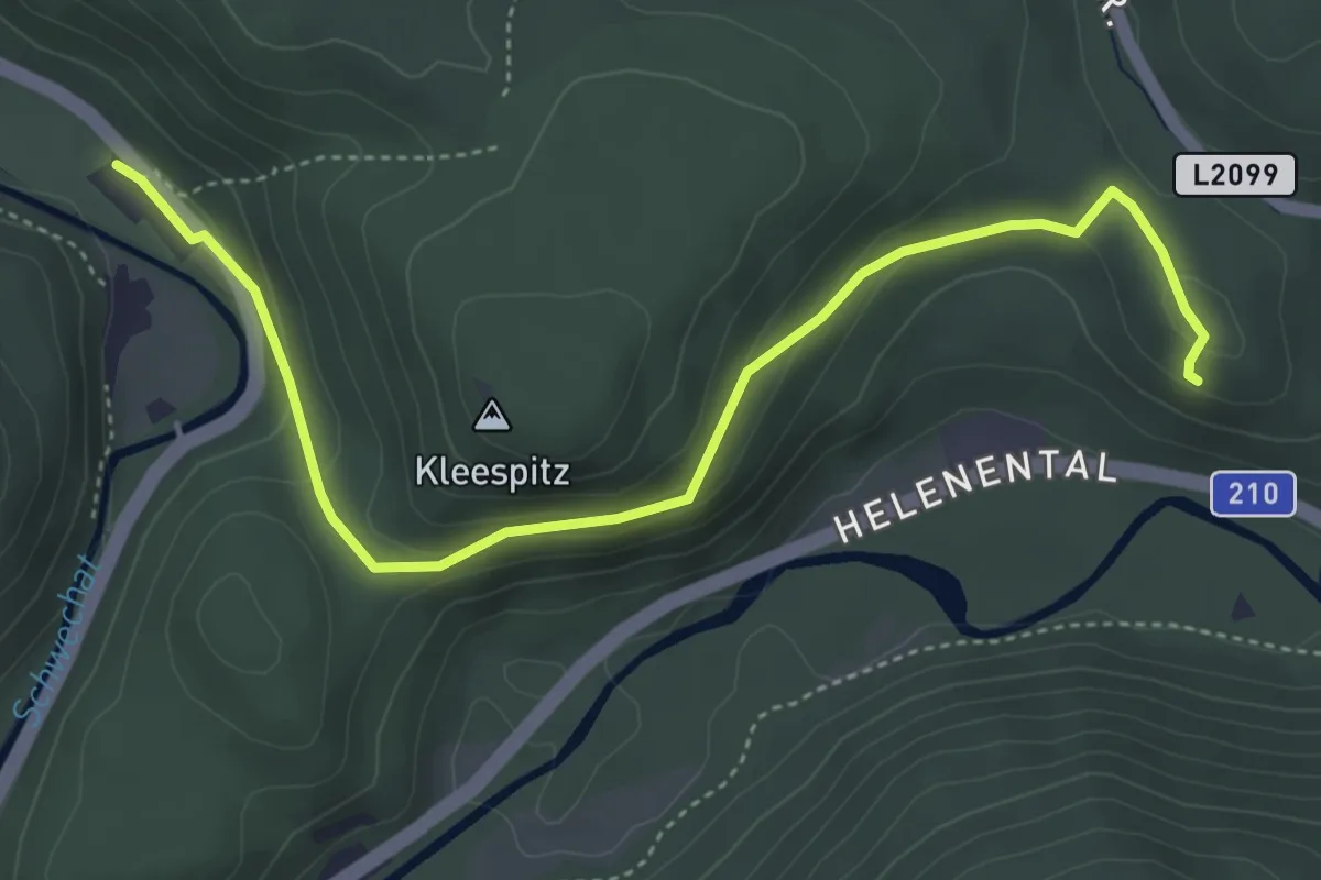
Easy · Summit
Siegenfelder Kreuzung - Krainerhütte
4.8 km · ↑ 152 m · 1 h 28 min
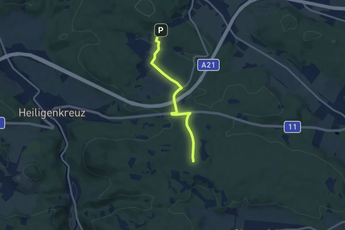
Easy · Summit
Siegenfeld - Meierei Füllenberg
6.0 km · ↑ 135 m · 1 h 43 min
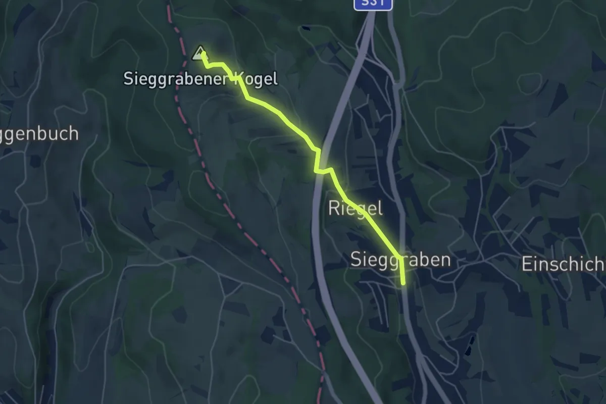
Easy · Summit
Sieggrabener Kogelweg
4.4 km · ↑ 203 m · 1 h 29 min
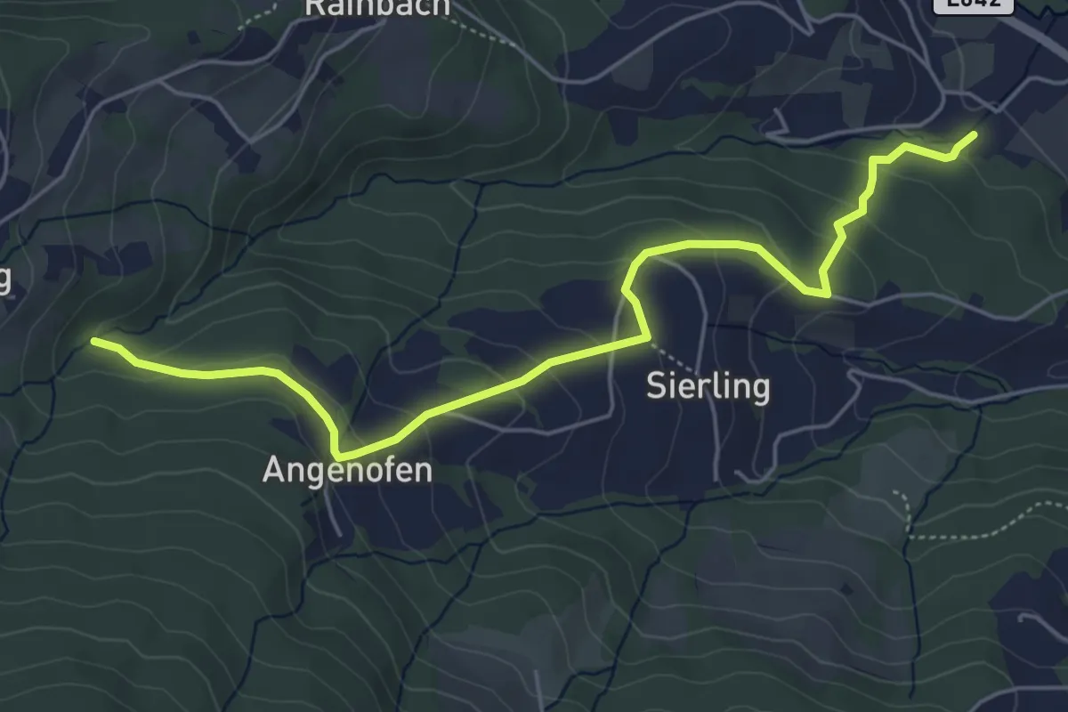
Easy · Trail
Sierling - Angenofen - Rachling
2.8 km · ↑ 247 m · 1 h 9 min
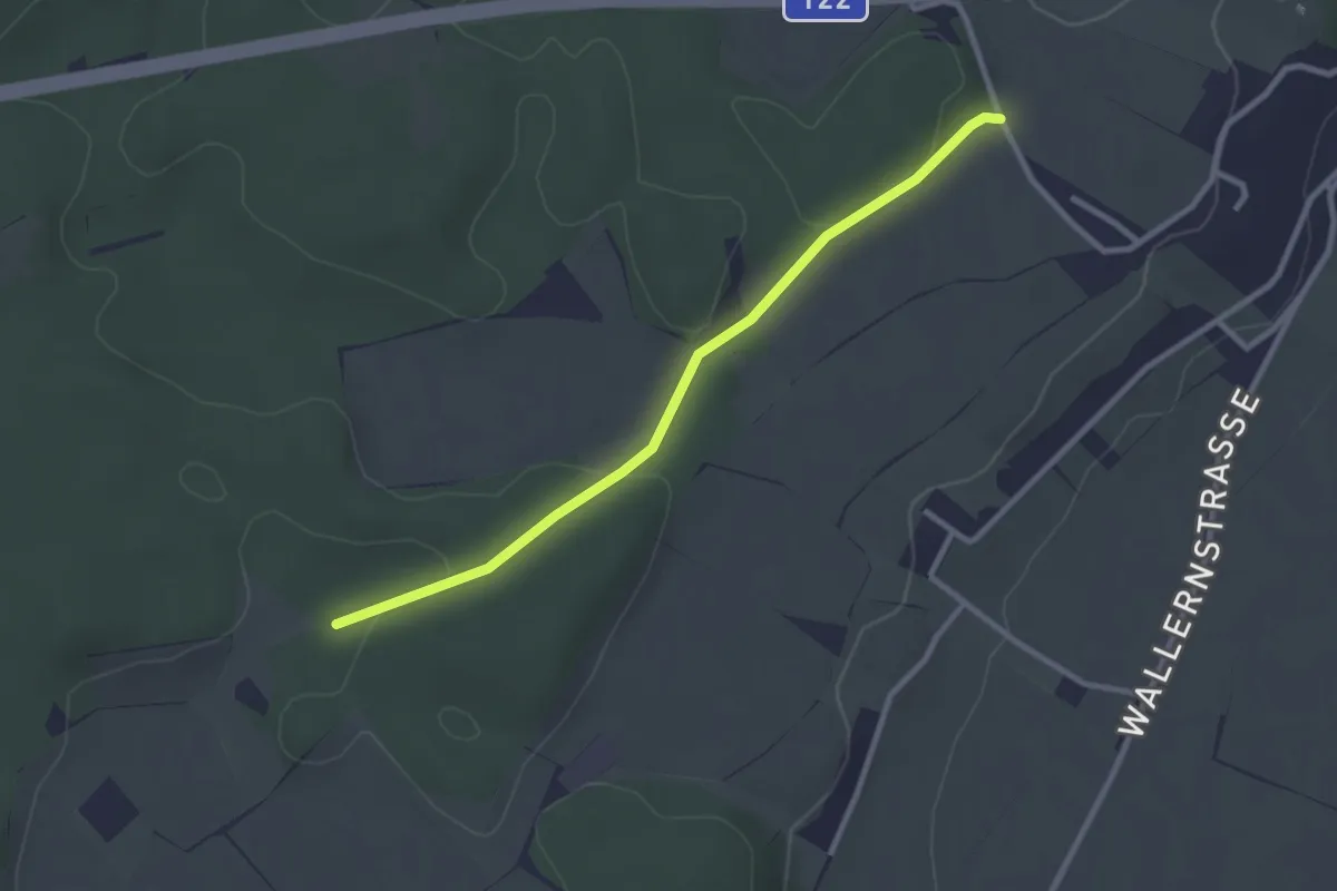
Easy · Trail
Sierning Wanderweg 11
2.7 km · ↑ 8 m · 39 min
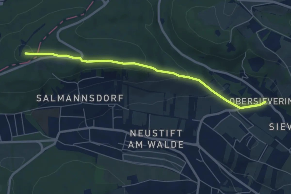
Easy · Summit
Sievering/Agnesgasse - Dreimarkstein/Häuserl am Roan
5.1 km · ↑ 187 m · 1 h 36 min
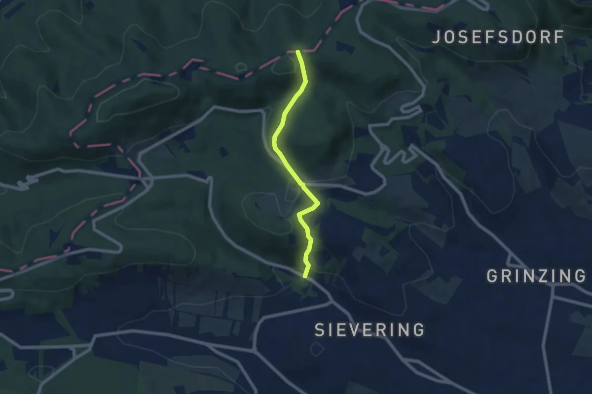
Easy · Trail
Sievering/Gspöttgraben - Agneswiese
4.6 km · ↑ 204 m · 1 h 32 min
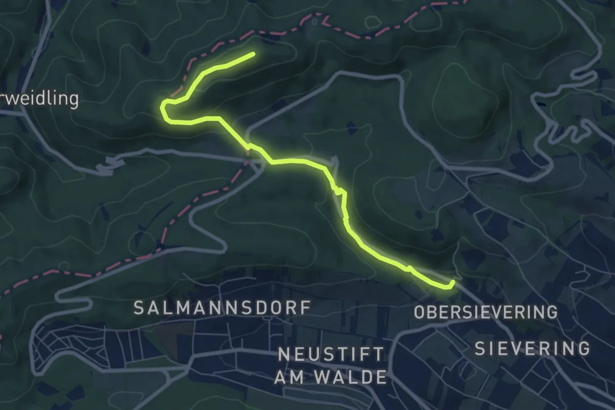
Easy · Summit
Sievering/Gspöttgraben - Habsburgwarte
7.2 km · ↑ 261 m · 2 h 16 min
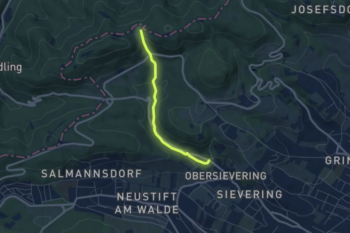
Easy · Trail
Sievering/Gspöttgraben - Jägerwiese
4.8 km · ↑ 172 m · 1 h 31 min
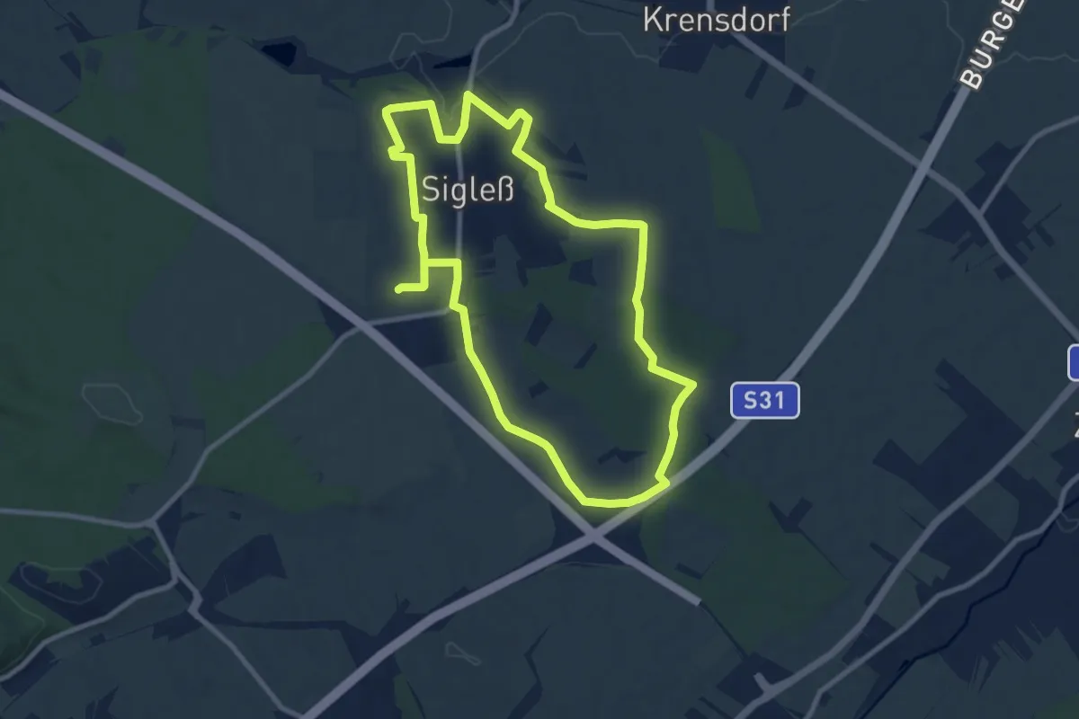
Medium · Trail
Sigleßer Marterlwanderweg
8.6 km · ↑ 86 m · 2 h 21 min
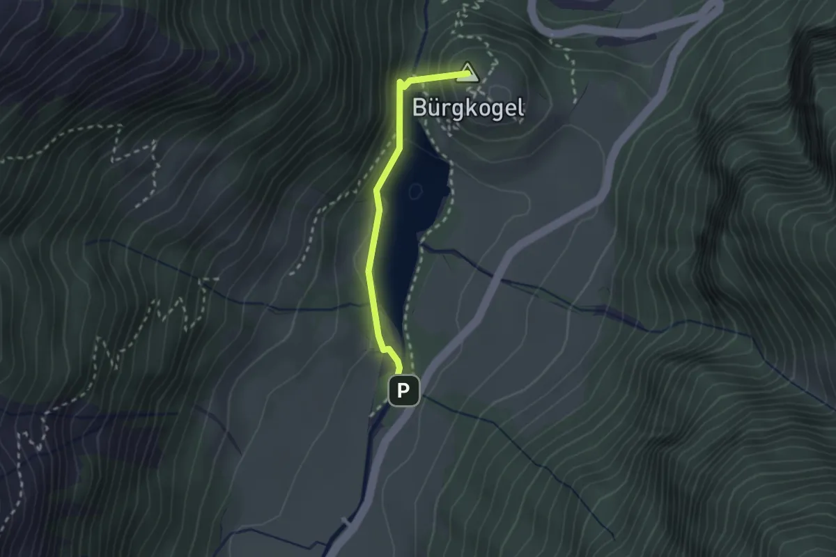
Easy · Summit
Sigmund Thun-Klamm
2.0 km · ↑ 144 m · 47 min
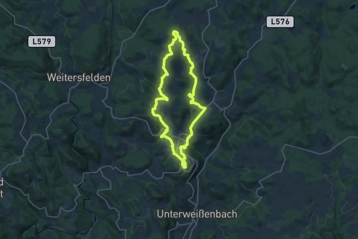
Medium · Summit
Silberbergweg Nr. 40
13.4 km · ↑ 454 m · 4 h 20 min
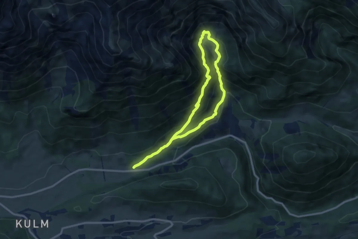
Demanding · Trail
Silberkar-Höhenweg
6.1 km · ↑ 333 m · 2 h 15 min
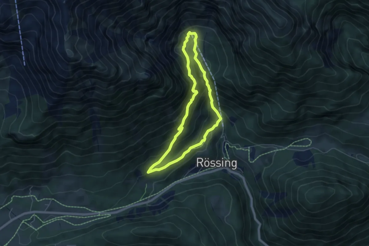
Demanding · Trail
Silberkar "Wildes Wasser"
4.6 km · ↑ 331 m · 1 h 51 min
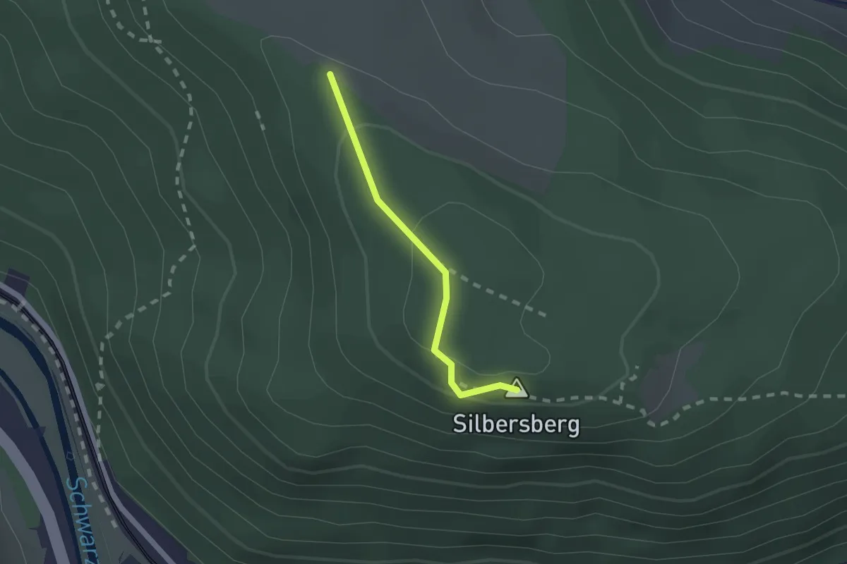
Easy · Summit
Silbersberg Gipfel
1.5 km · ↑ 35 m · 25 min
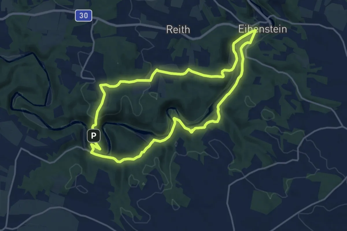
Medium · Trail
Silbersteig - Ruine Kollmitz-Weg
11.8 km · ↑ 369 m · 3 h 45 min
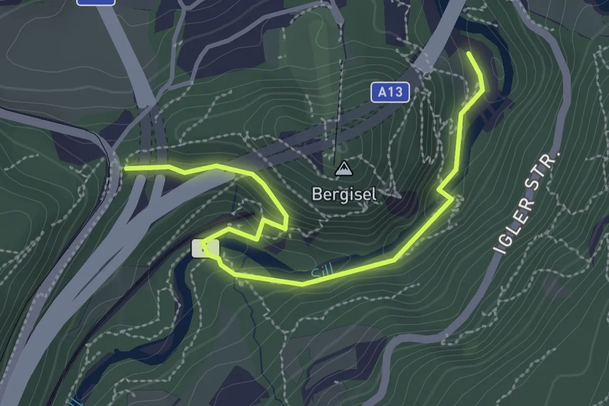
Medium · Trail
Sillschluchtweg
3.2 km · ↑ 113 m · 1 h
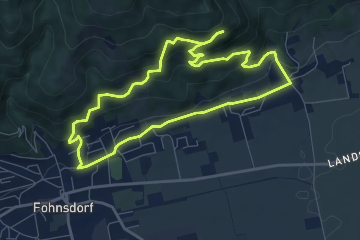
Easy · Trail
Sillweger Aussichtswarte
5.8 km · ↑ 256 m · 2 h
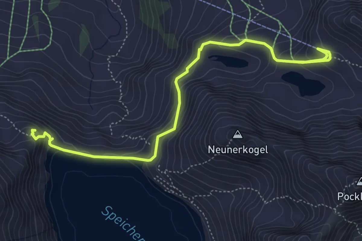
Medium · Summit
Silzer-Energieweg
5.9 km · ↑ 304 m · 2 h 3 min
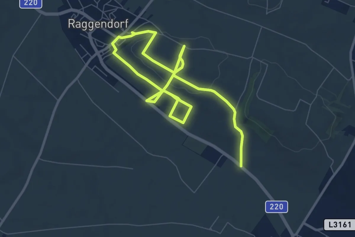
Medium · Trail
Simandlpfad
11.0 km · ↑ 239 m · 3 h 7 min
Easy · Trail
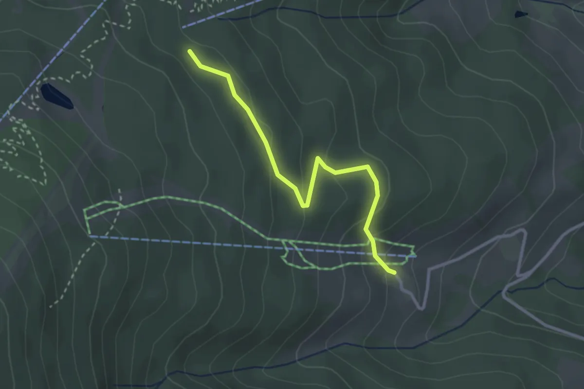
Simashütte - Orthof
2.7 km · ↑ 101 m · 51 min
Medium · Trail
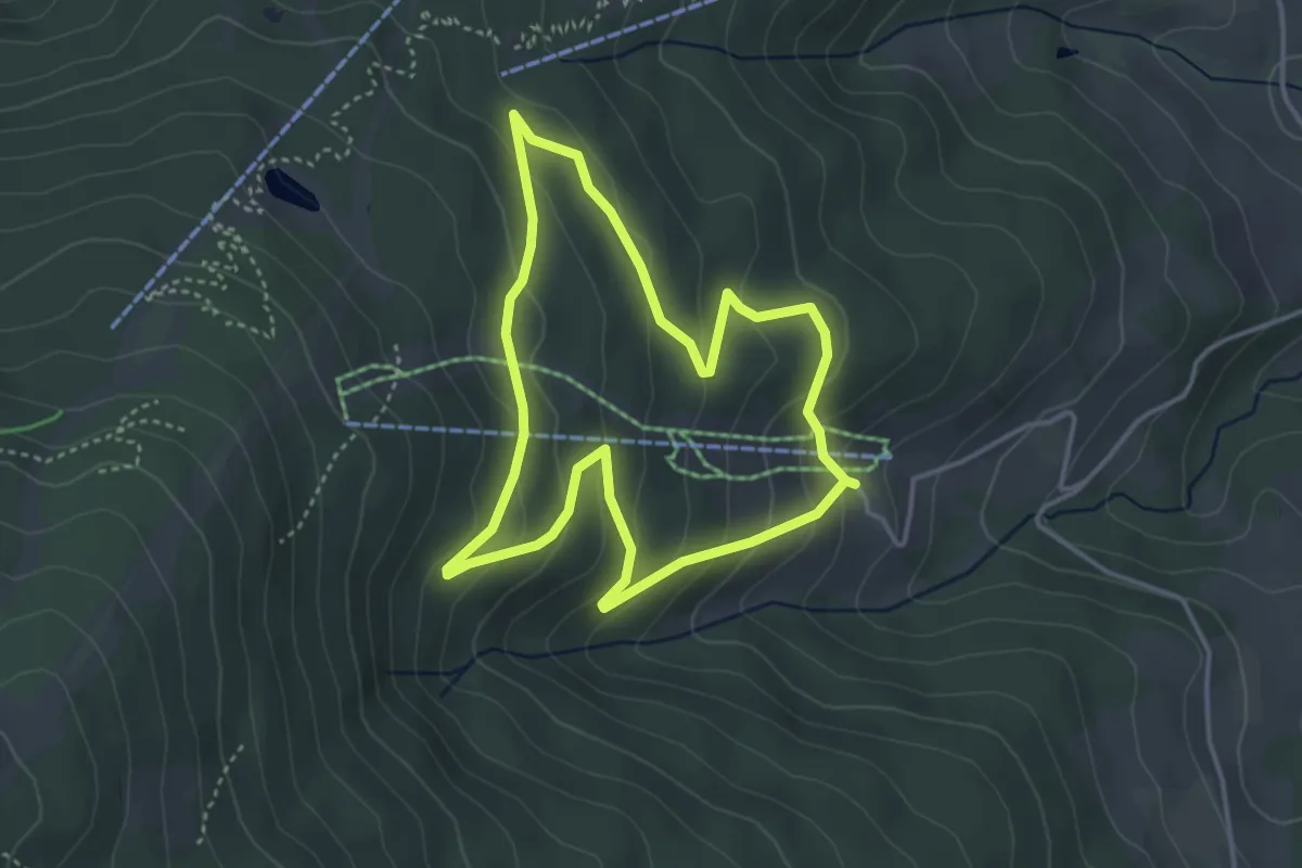
Simas Hütt'n Weg
3.5 km · ↑ 163 m · 1 h 14 min