Trails in Austria
9,777 hiking trails, each with its route, climb, walking time and grade.
All trails, page 106 of 204
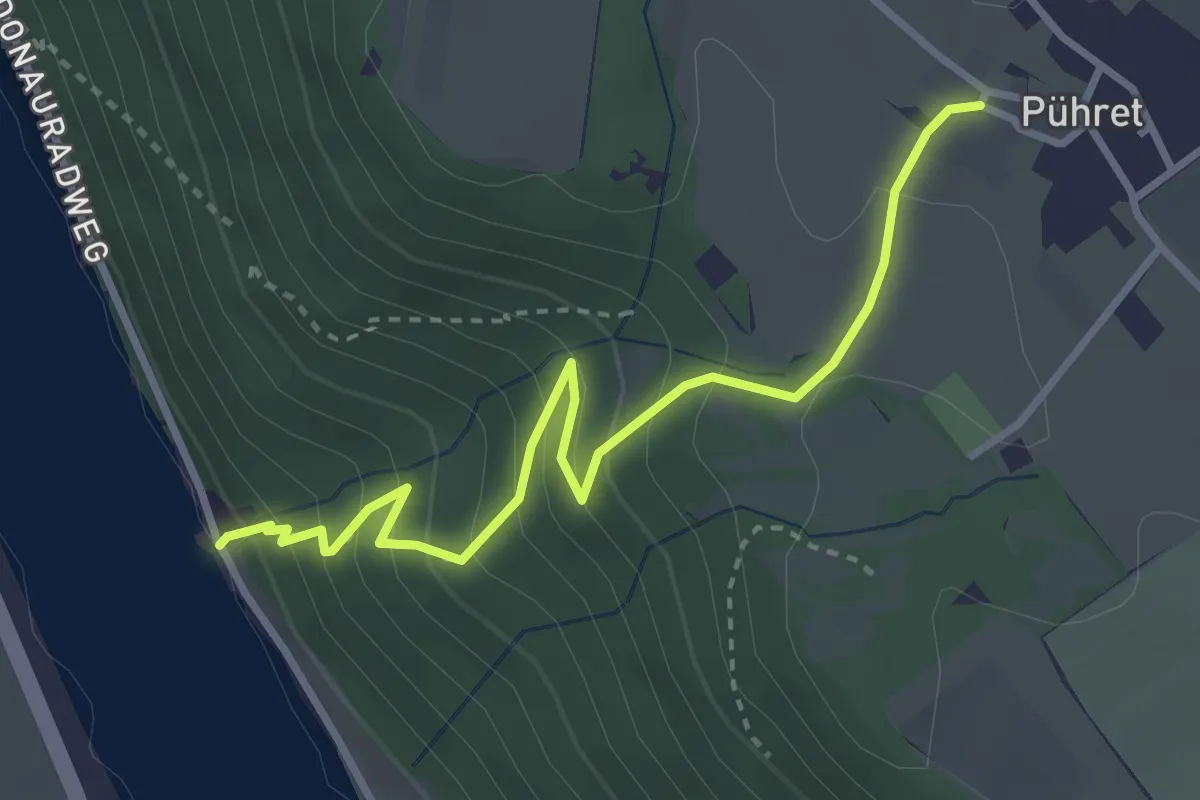
Easy · Trail
Simethsteig
3.3 km · ↑ 285 m · 1 h 24 min
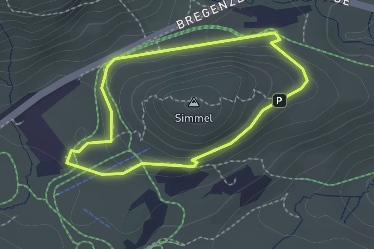
Medium · Summit
Simmelrundweg
1.6 km · ↑ 45 m · 30 min
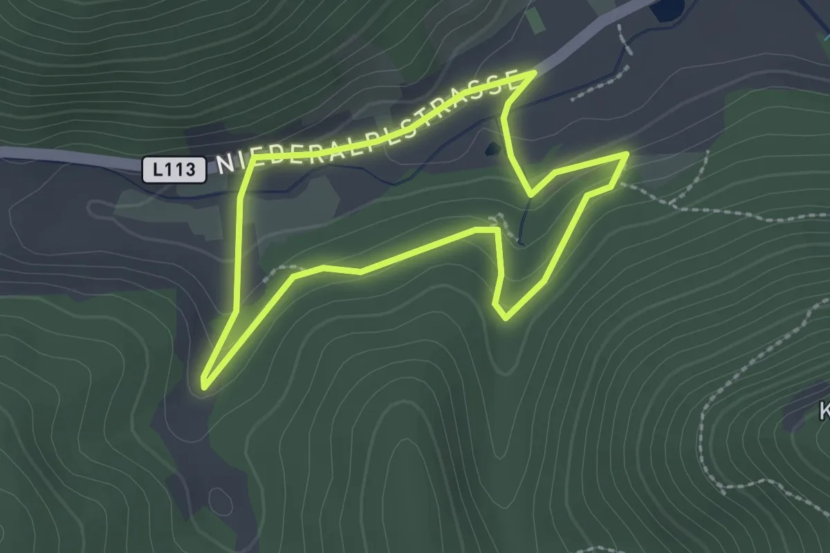
Easy · Trail
Simmerlweg
2.0 km · ↑ 37 m · 35 min
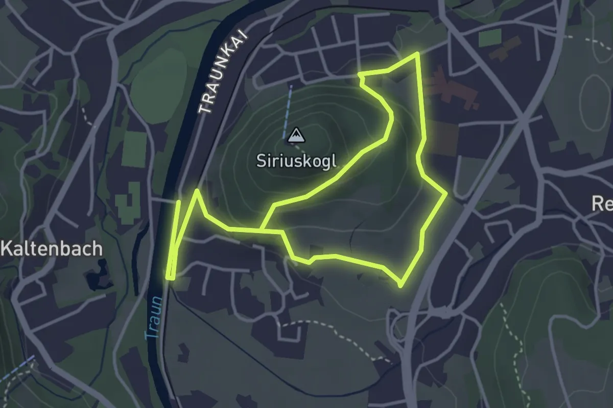
Medium · Trail
Siriuskogel Rundweg
3.1 km · ↑ 109 m · 59 min
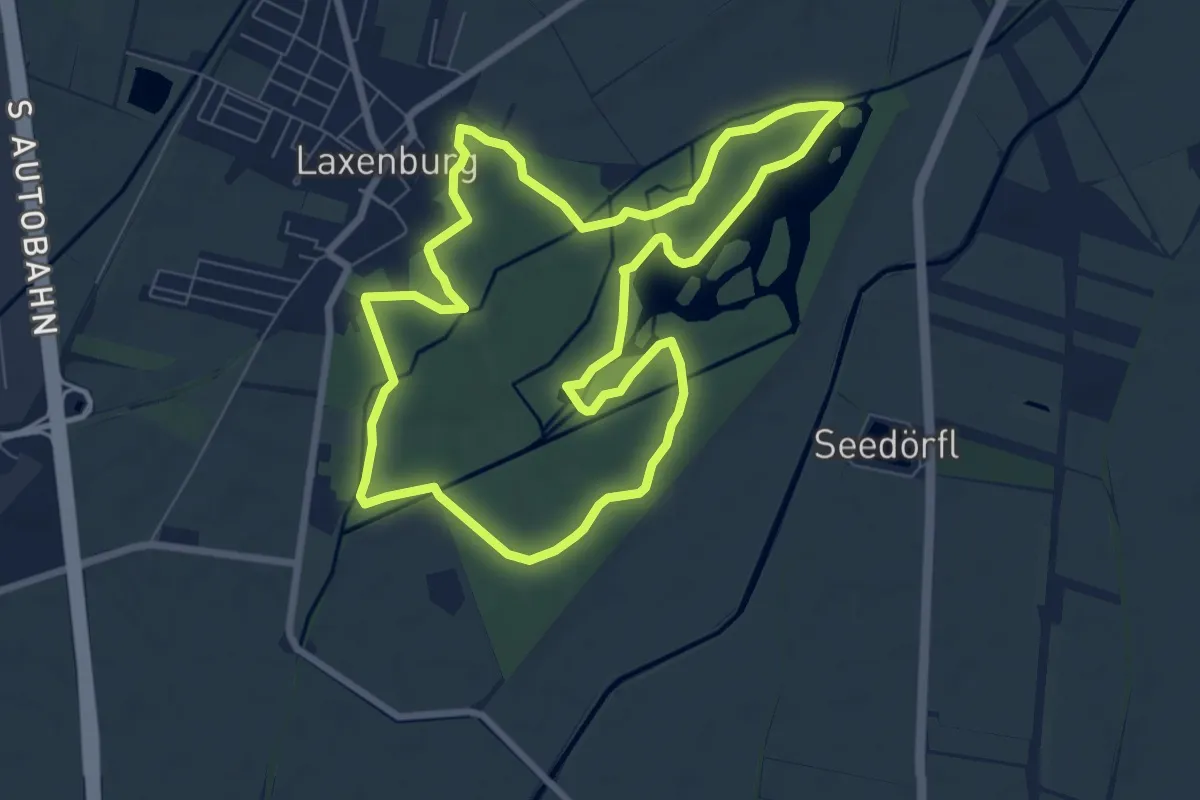
Easy · Trail
Sisi Runde
7.7 km · ↑ 0 m · 1 h 55 min
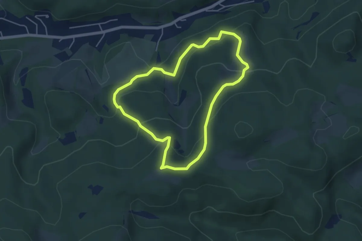
Easy · Summit
SISI Rundwanderweg
3.7 km · ↑ 193 m · 1 h 21 min
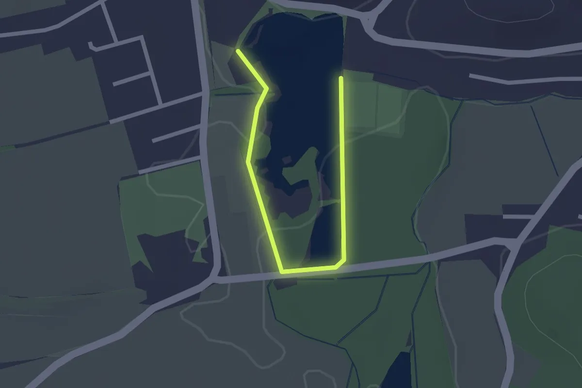
Easy · Trail
Sitzenberger Karpfenlehrpfad
2.2 km · ↑ 0 m · 31 min
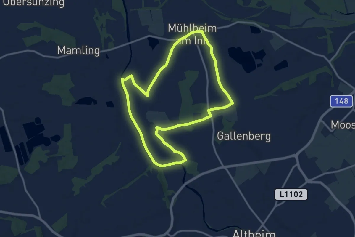
Medium · Trail
Sivag-Runde
8.4 km · ↑ 17 m · 2 h 8 min
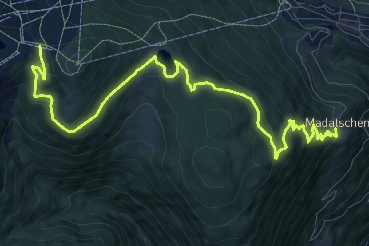
Medium · Trail
Six Senses
12.1 km · ↑ 493 m · 3 h 56 min
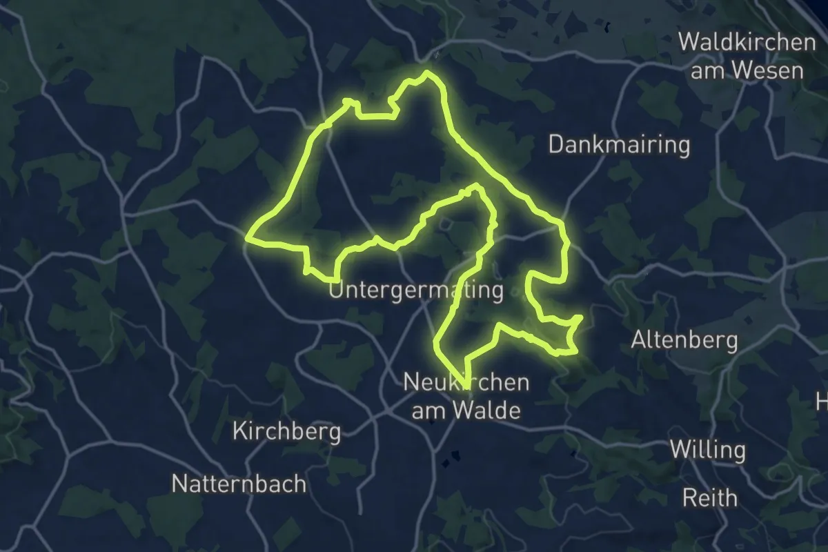
Medium · Trail
Sixtus Weg
15.8 km · ↑ 333 m · 4 h 41 min
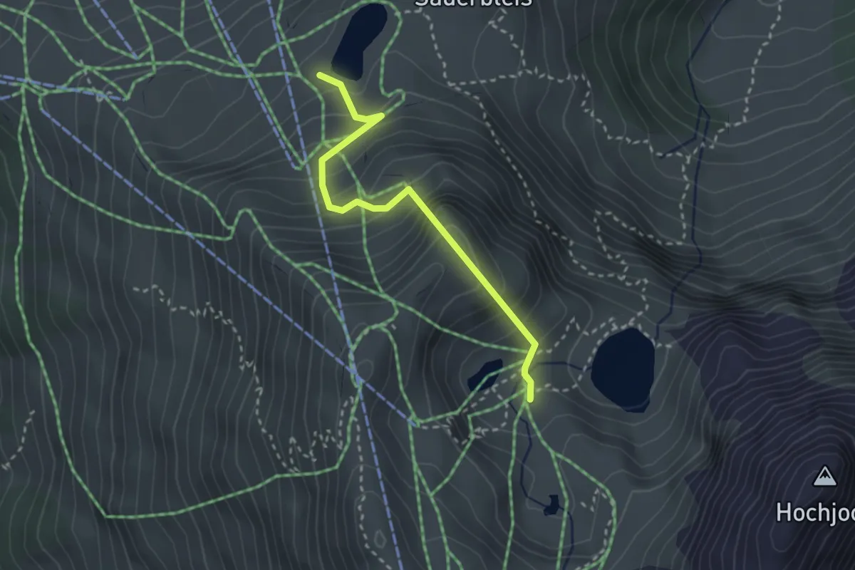
Medium · Trail
Skitunnelweg
2.7 km · ↑ 364 m · 1 h 25 min
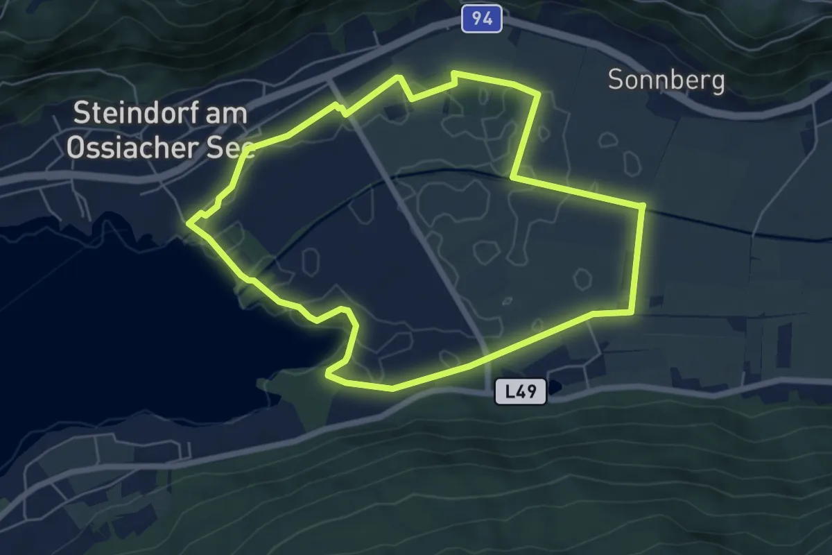
Easy · Trail
Slow Trail durch das artenreiche Bleistätter Moor
5.8 km · ↑ 0 m · 1 h 28 min
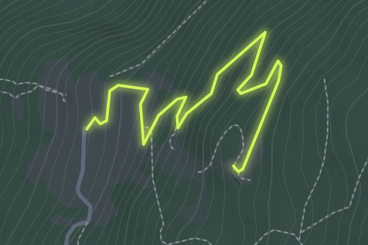
Easy · Trail
Slow Trail Mirnock
2.8 km · ↑ 150 m · 59 min
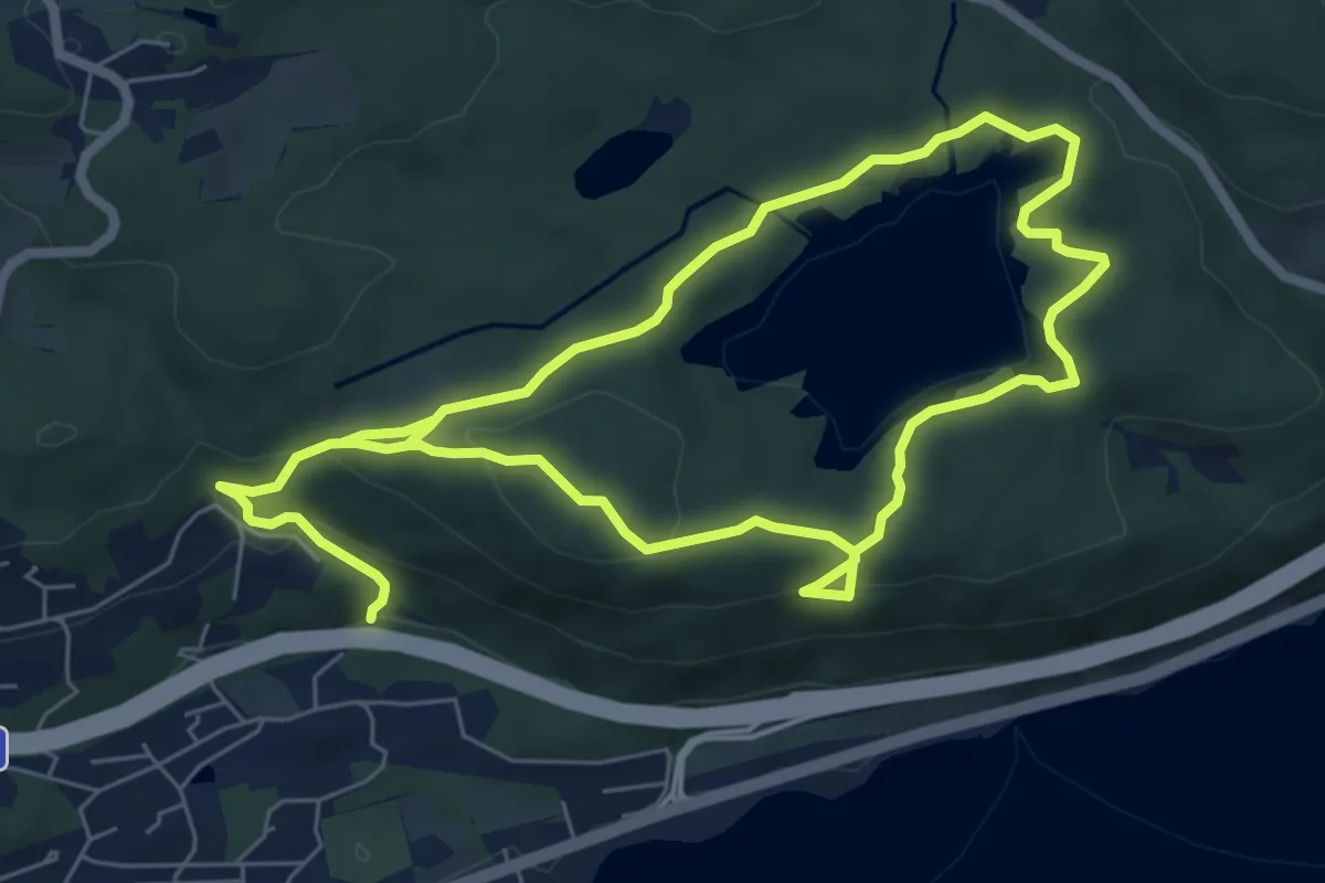
Medium · Trail
Slow Trail Römerschlucht
12.5 km · ↑ 371 m · 3 h 45 min
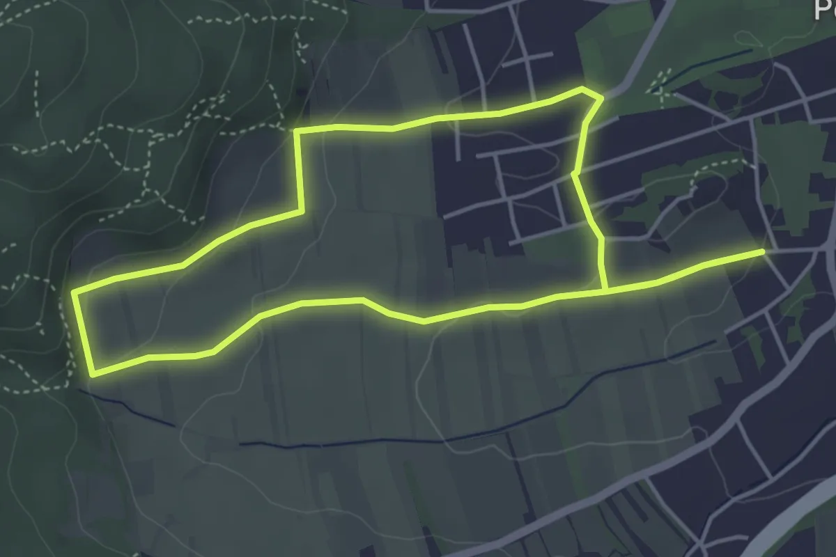
Easy · Summit
Smaragdeidechsenrunde
4.2 km · ↑ 90 m · 1 h 15 min
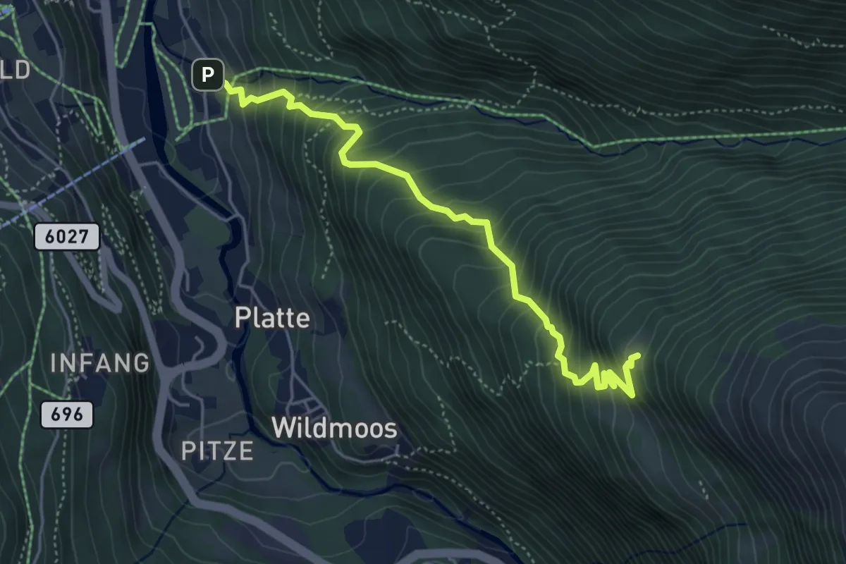
Medium · Trail
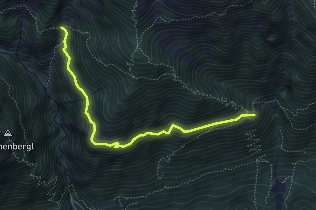
Sölden - Brunnbergalm
4.8 km · ↑ 603 m · 2 h 27 min
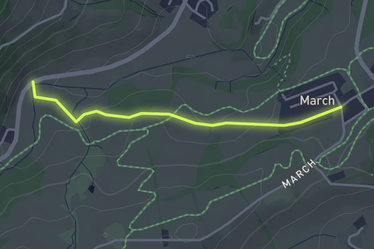
Medium · Trail
Söldensteig
5.2 km · ↑ 299 m · 1 h 53 min
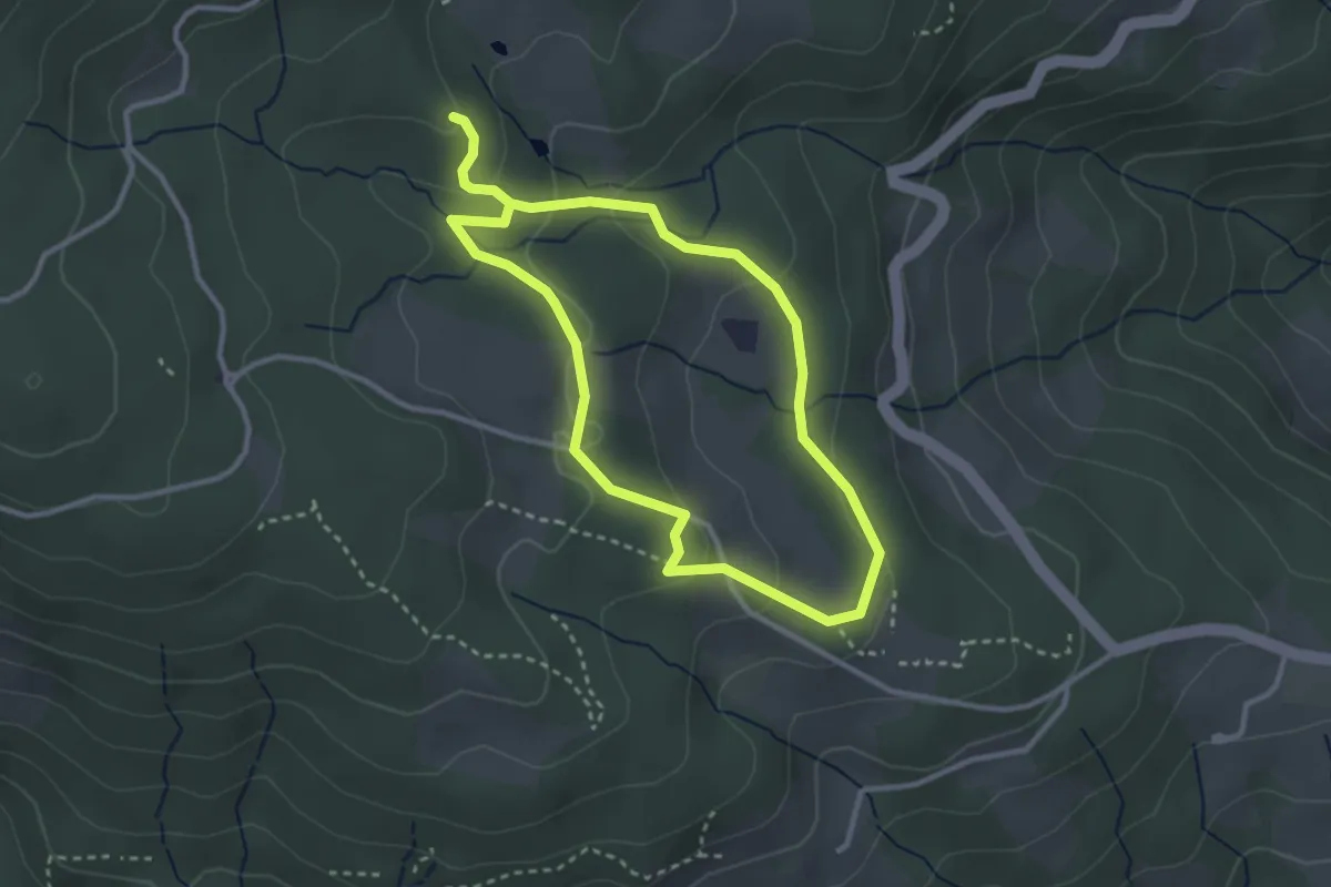
Easy · Trail
Sommerbichl
2.8 km · ↑ 59 m · 47 min
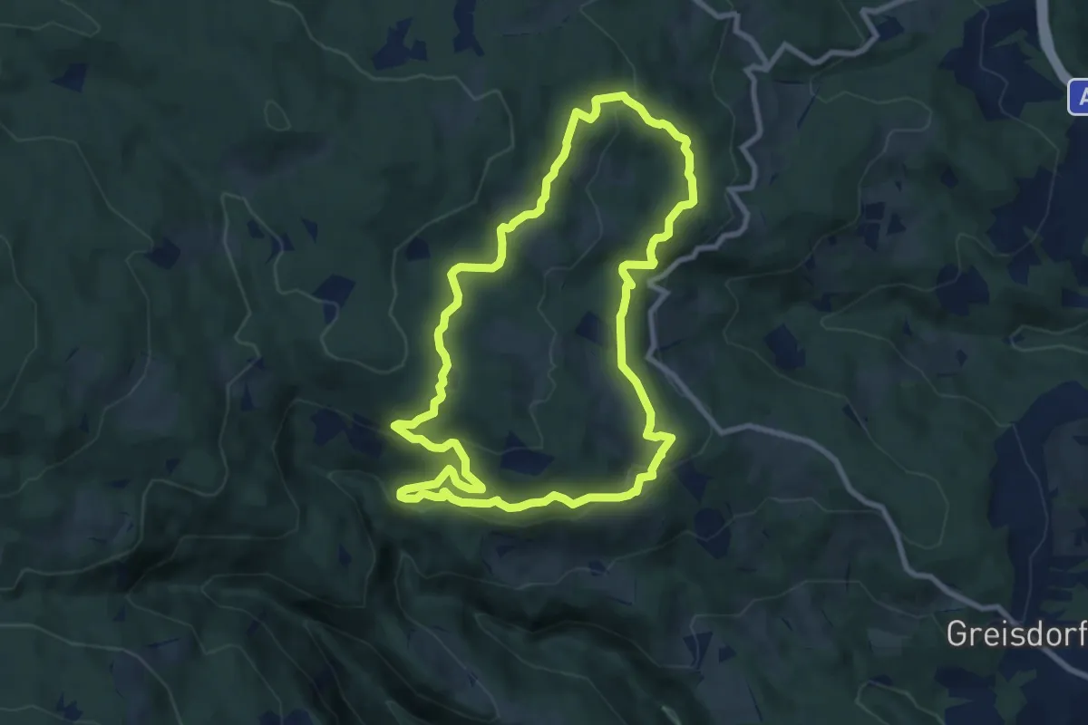
Easy · Trail
Sommereben Rundwanderweg 57
2.7 km · ↑ 75 m · 51 min
Medium · Trail
Sommereben Rundwanderweg 58
8.4 km · ↑ 286 m · 2 h 43 min
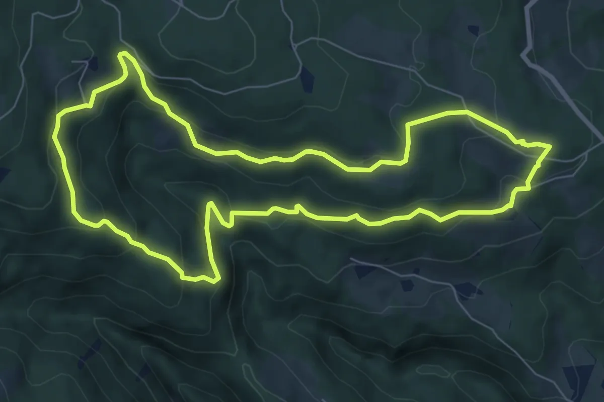
Medium · Trail
Sommereben Rundwanderweg 60
7.0 km · ↑ 301 m · 2 h 25 min
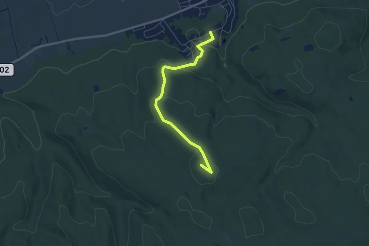
Easy · Summit
Sommerein (Wenzlberg) - Purbach
5.4 km · ↑ 159 m · 1 h 37 min
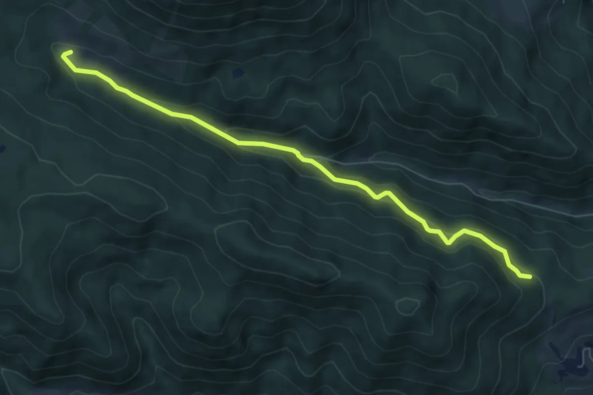
Easy · Cabin
Sommerstall - Lengger Alm
6.9 km · ↑ 253 m · 2 h 11 min
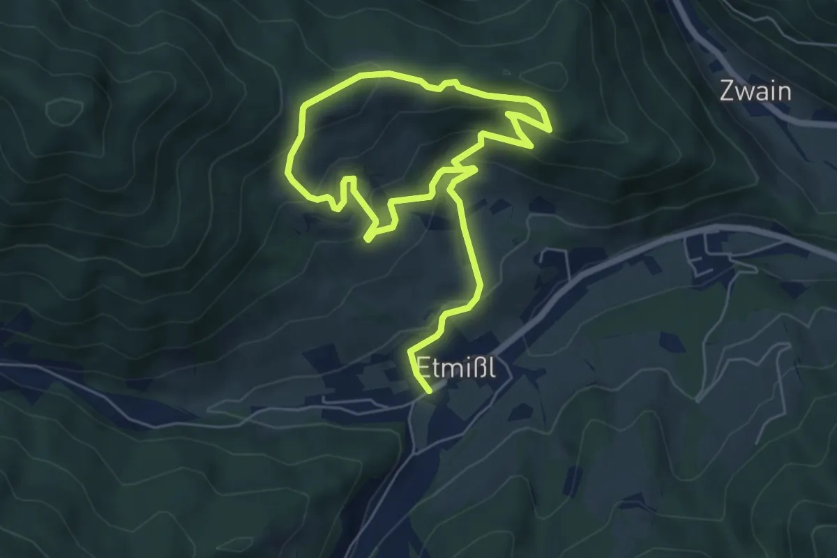
Easy · Summit
Sommerstall-Weg
4.5 km · ↑ 263 m · 1 h 39 min
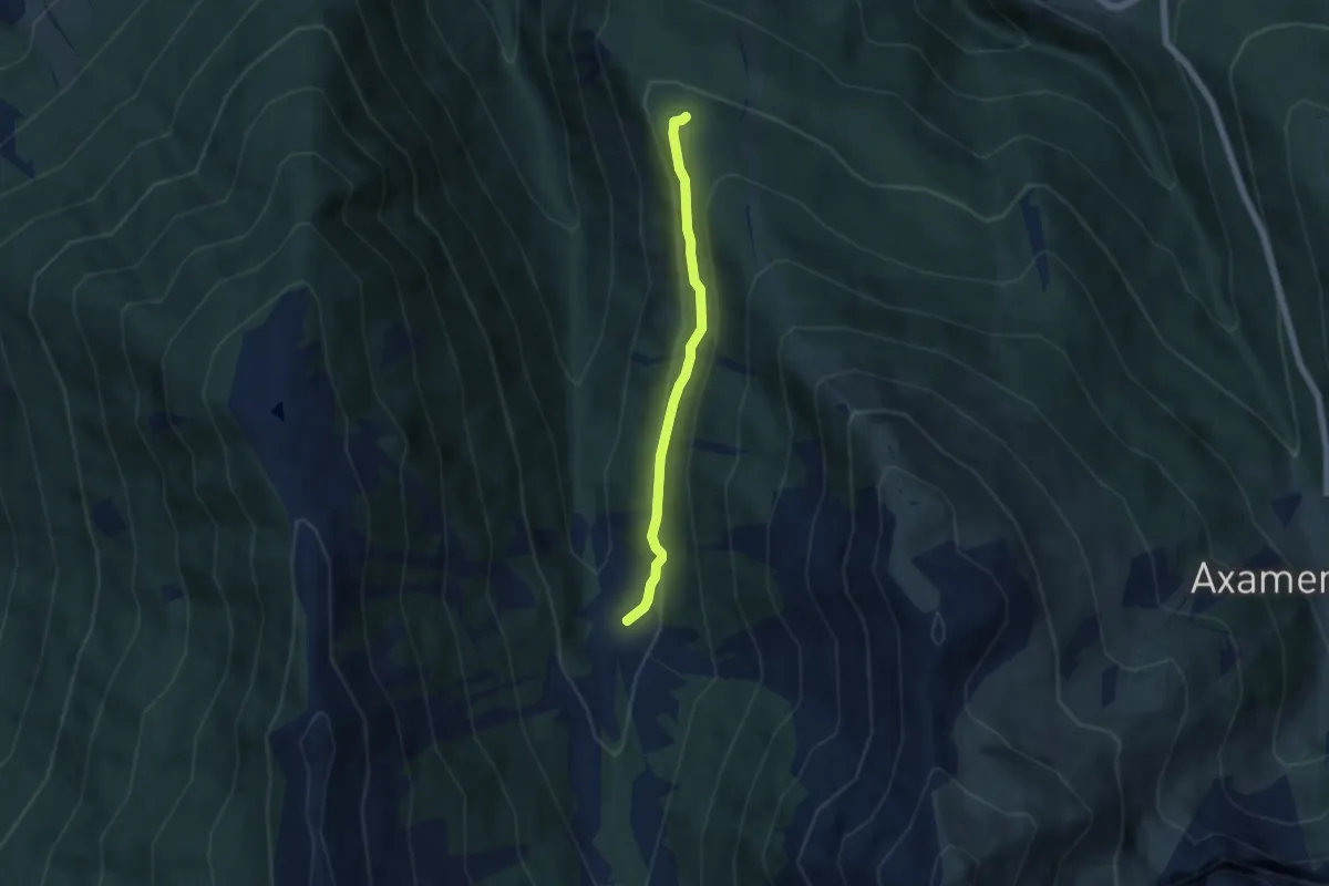
Easy · Trail
Sommersteig
4.7 km · ↑ 125 m · 1 h 23 min
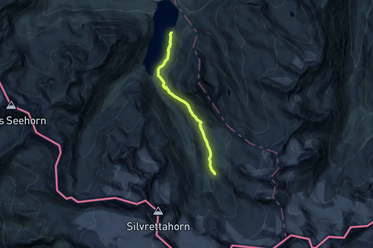
Medium · Cabin
Sommerweg
11.0 km · ↑ 461 m · 3 h 36 min
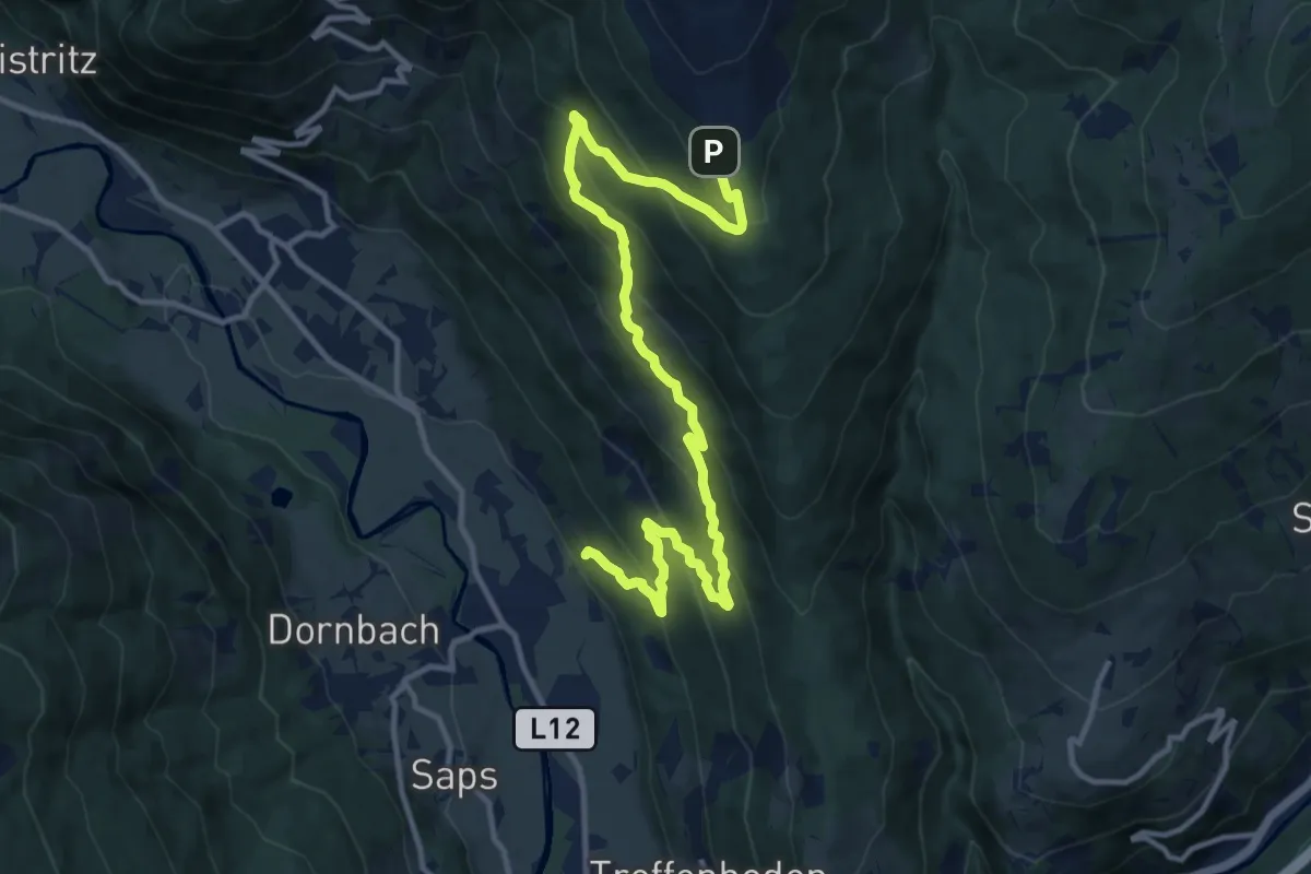
Demanding · Trail
Sonnalm - Vorderer Krainberg - Fischertratten
14.1 km · ↑ 825 m · 5 h 7 min
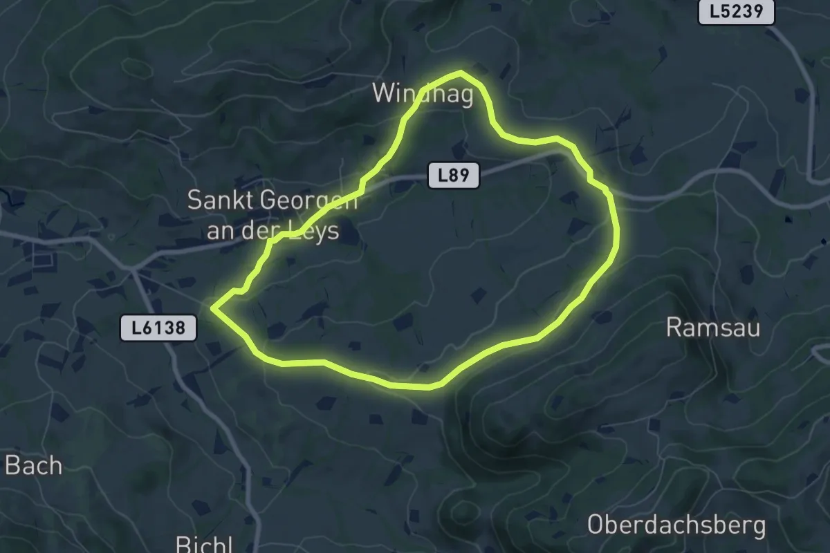
Easy · Trail
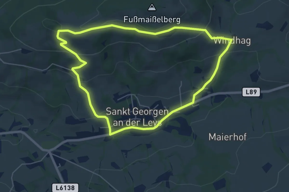
Sonnberg - Mitteröd
6.9 km · ↑ 214 m · 2 h 11 min
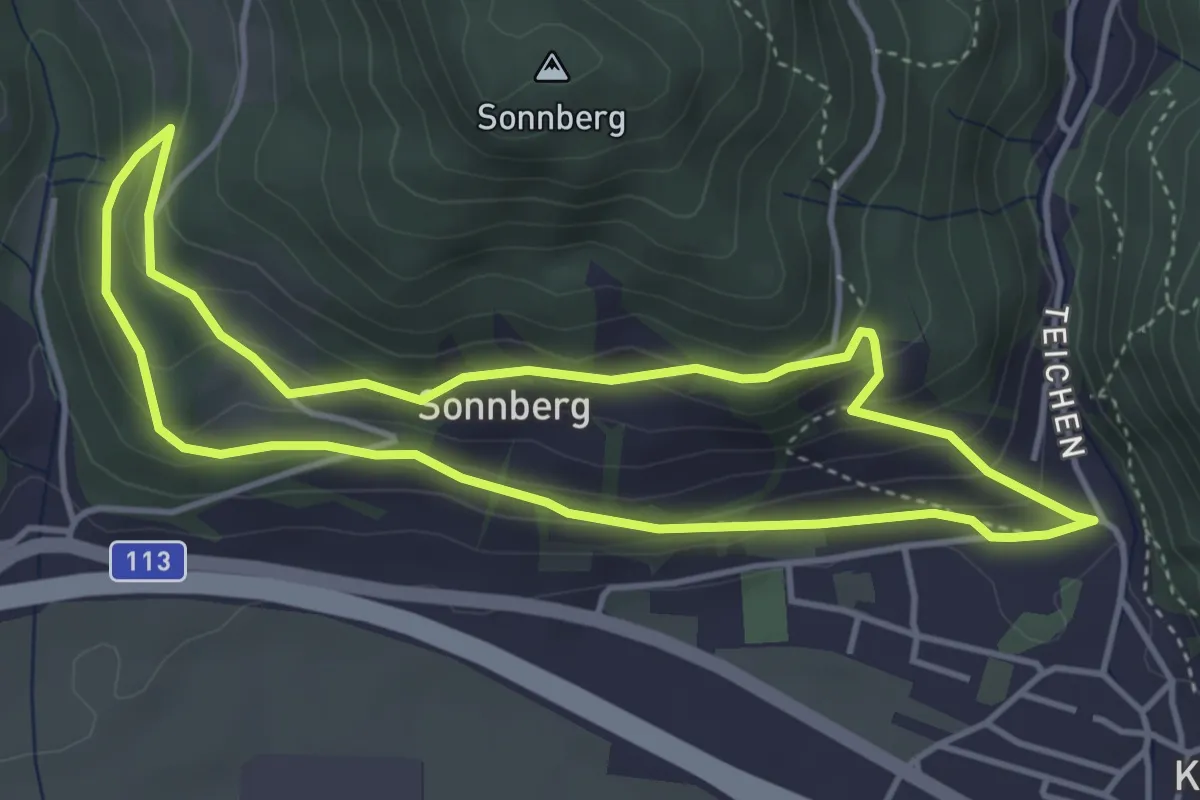
Easy · Trail
Sonnbergrunde
4.9 km · ↑ 184 m · 1 h 37 min
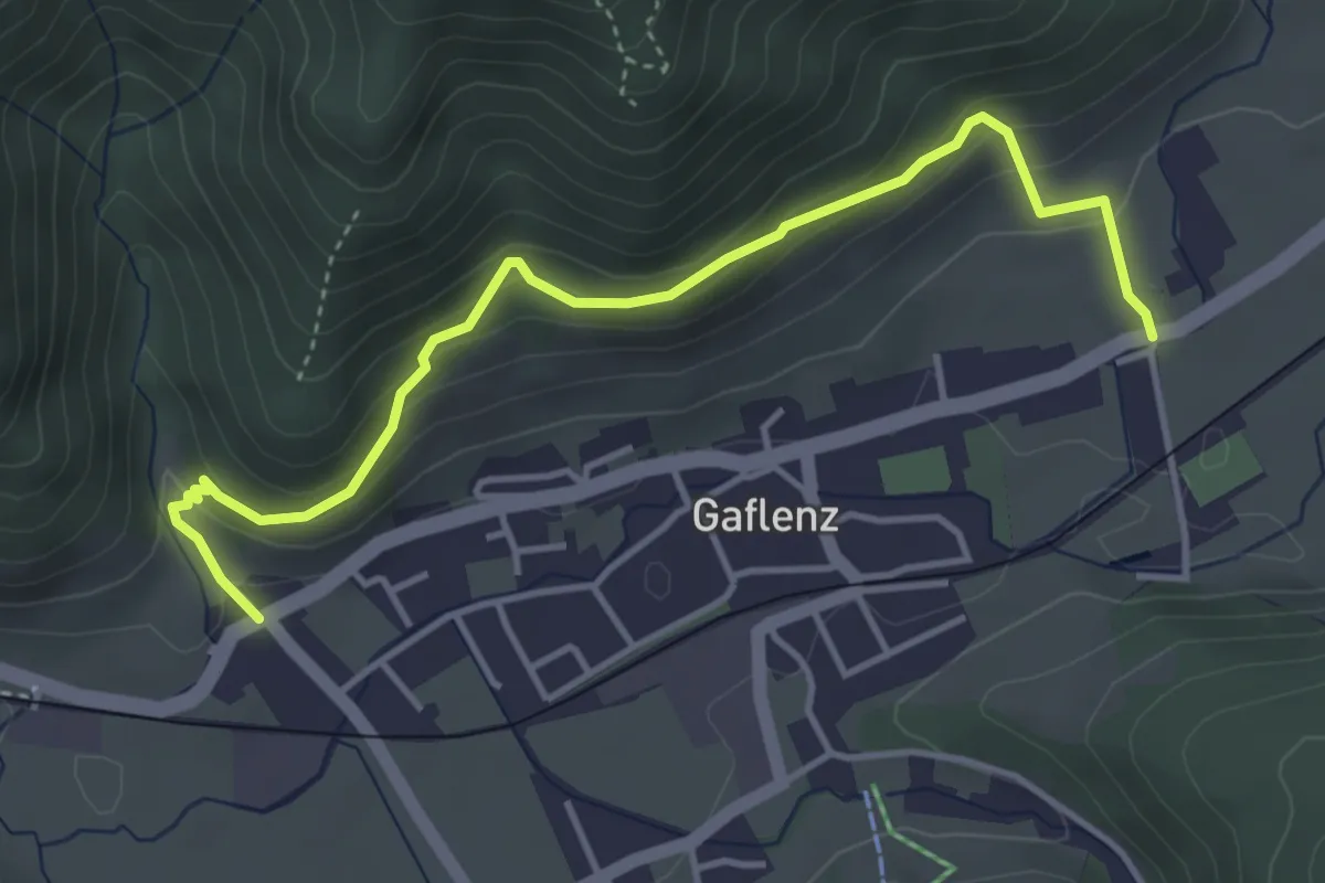
Easy · Trail
Sonnberg Weg
4.0 km · ↑ 189 m · 1 h 25 min
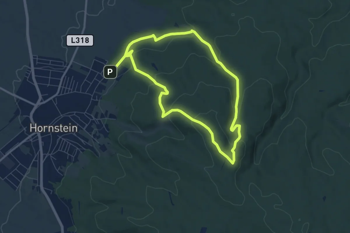
Easy · Trail
Sonnbergweg E02
4.3 km · ↑ 195 m · 1 h 27 min
Easy · Summit
Sonnenbergrunde
6.8 km · ↑ 202 m · 2 h 8 min
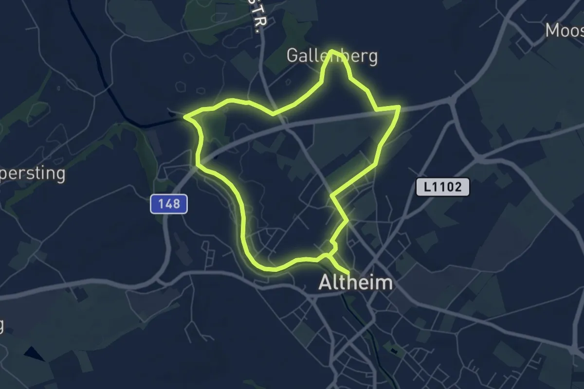
Easy · Trail
Sonnen-Runde
6.2 km · ↑ 28 m · 1 h 36 min
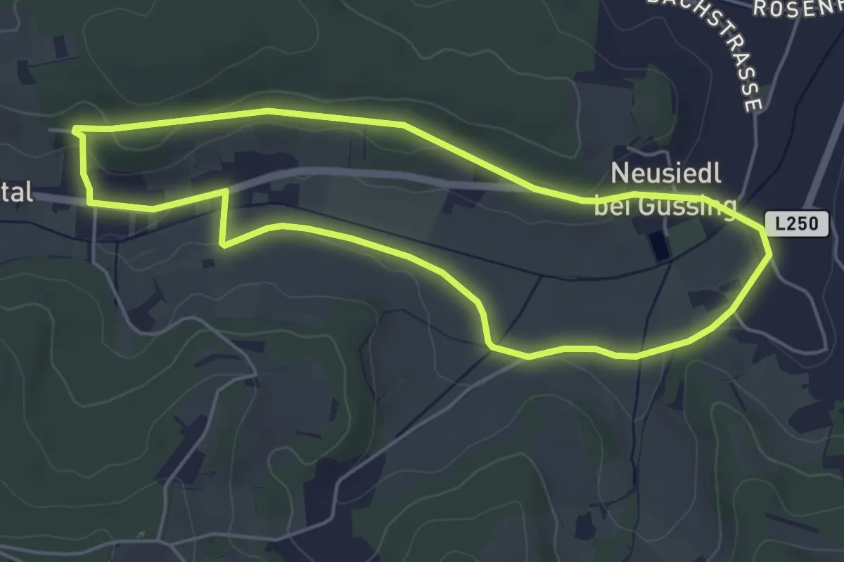
Easy · Trail
Sonnenrunde (Neusiedl bei Güssing)
4.7 km · ↑ 44 m · 1 h 16 min
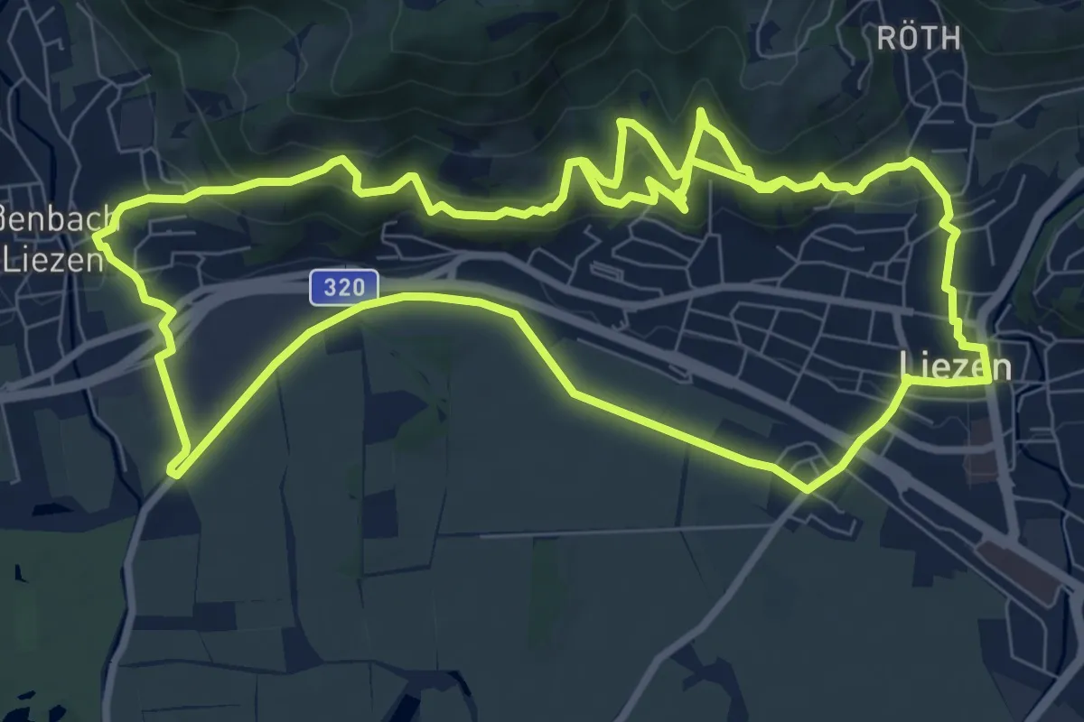
Medium · Trail
Sonnentour
9.6 km · ↑ 313 m · 3 h 5 min
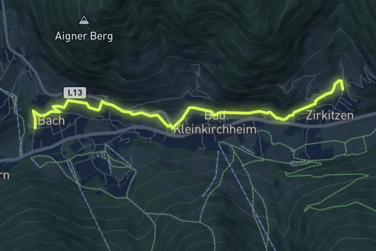
Medium · Trail
Sonnenweg
8.3 km · ↑ 305 m · 2 h 37 min
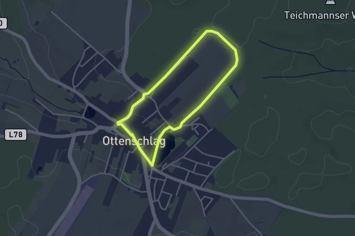
Easy · Trail
Sonnenweg 30
2.6 km · ↑ 17 m · 41 min
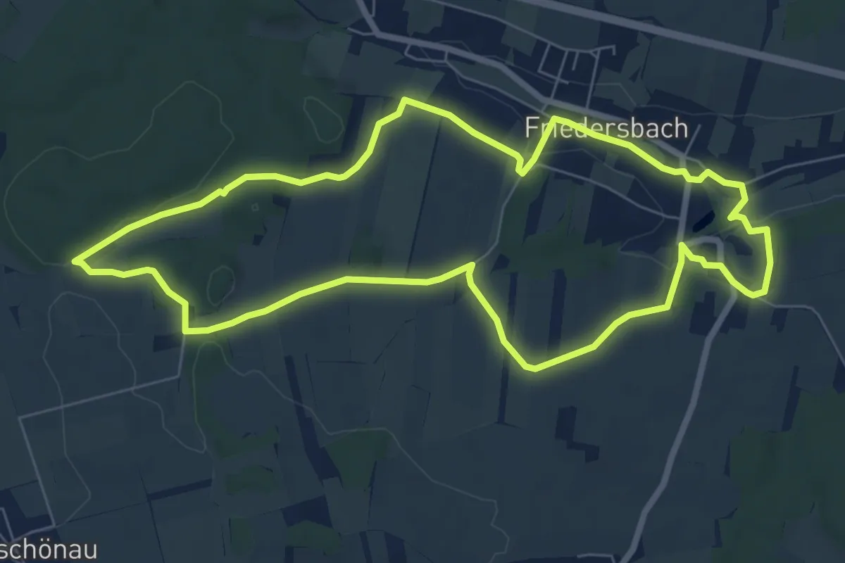
Easy · Trail
Sonnenweg 57B
7.0 km · ↑ 102 m · 1 h 59 min
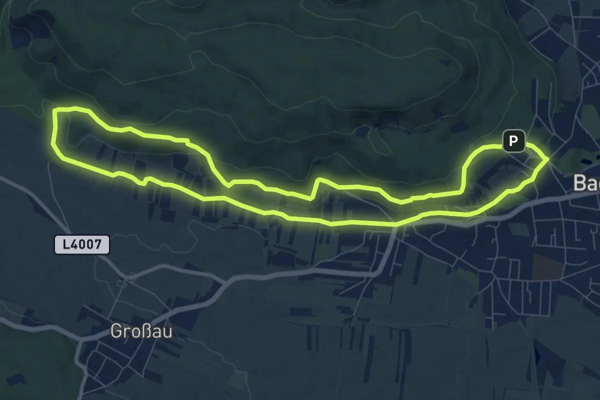
Medium · Trail
Sonnenweg B2
8.5 km · ↑ 146 m · 2 h 26 min
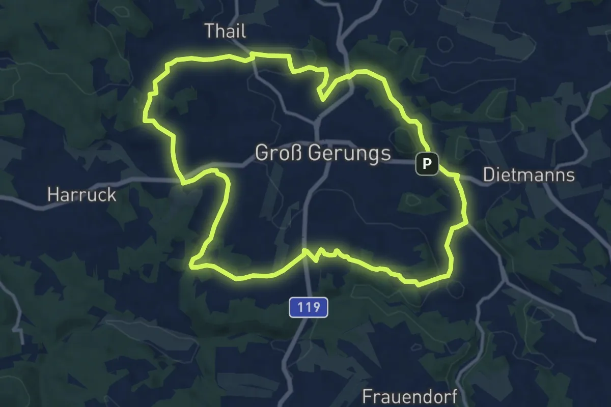
Medium · Trail
Sonnhof 2
10.5 km · ↑ 210 m · 3 h 5 min
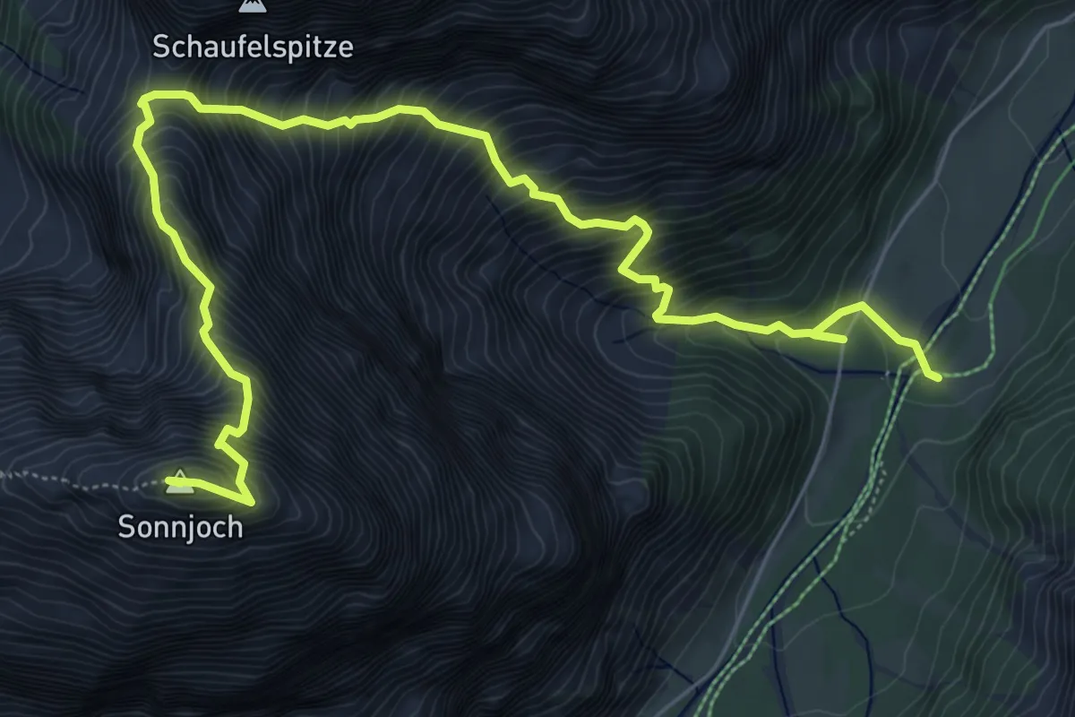
Expert · Summit
Sonnjoch
8.2 km · ↑ 1322 m · 4 h 48 min
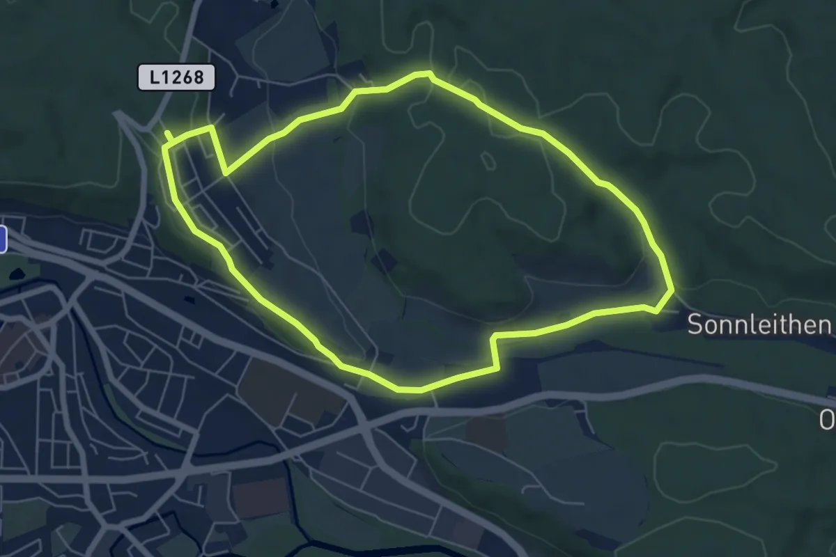
Easy · Trail
Sonnleitenwald
5.7 km · ↑ 113 m · 1 h 41 min
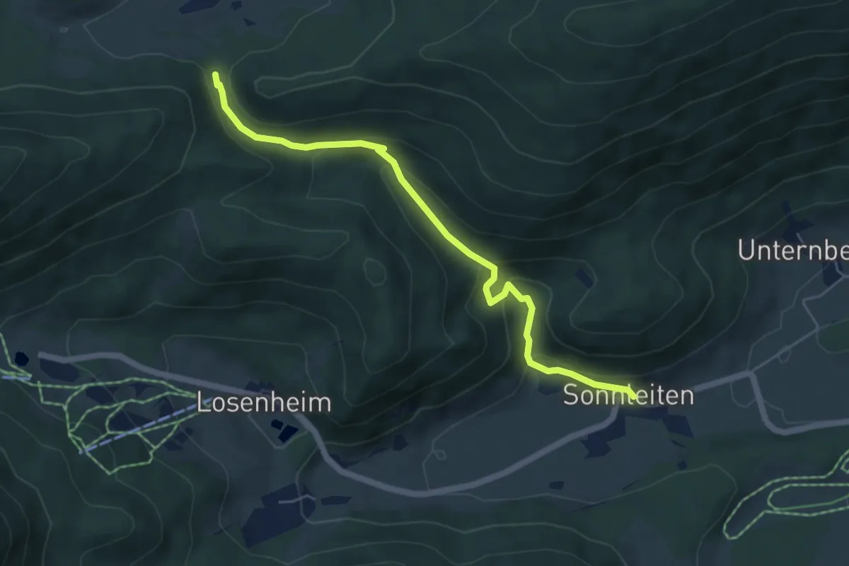
Medium · Trail
Sonnleiten - Wasserfall - Wegkreuzung Mamauwiese
5.3 km · ↑ 279 m · 1 h 52 min
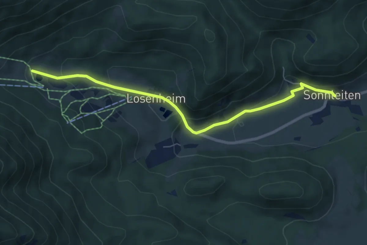
Easy · Trail
Sonnleiten (Wasserfallwirt) - Hinterm Faden (Talstation)
5.8 km · ↑ 230 m · 1 h 53 min
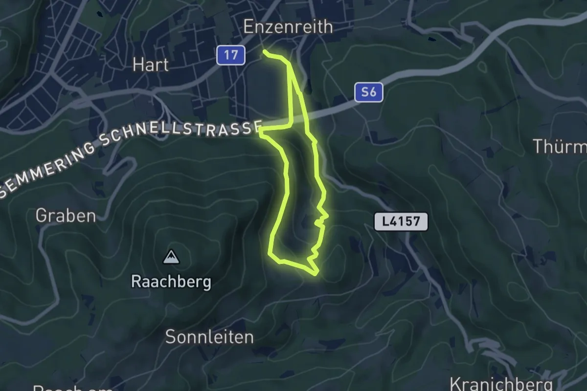
Easy · Trail
Sonnleitenweg (Enzenreith)
4.3 km · ↑ 213 m · 1 h 32 min
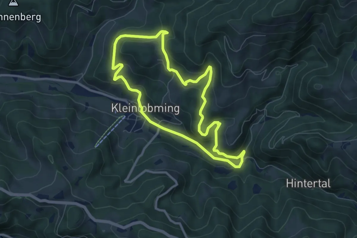
Easy · Trail
Sonnseiten Rundwanderweg
6.7 km · ↑ 231 m · 2 h 10 min
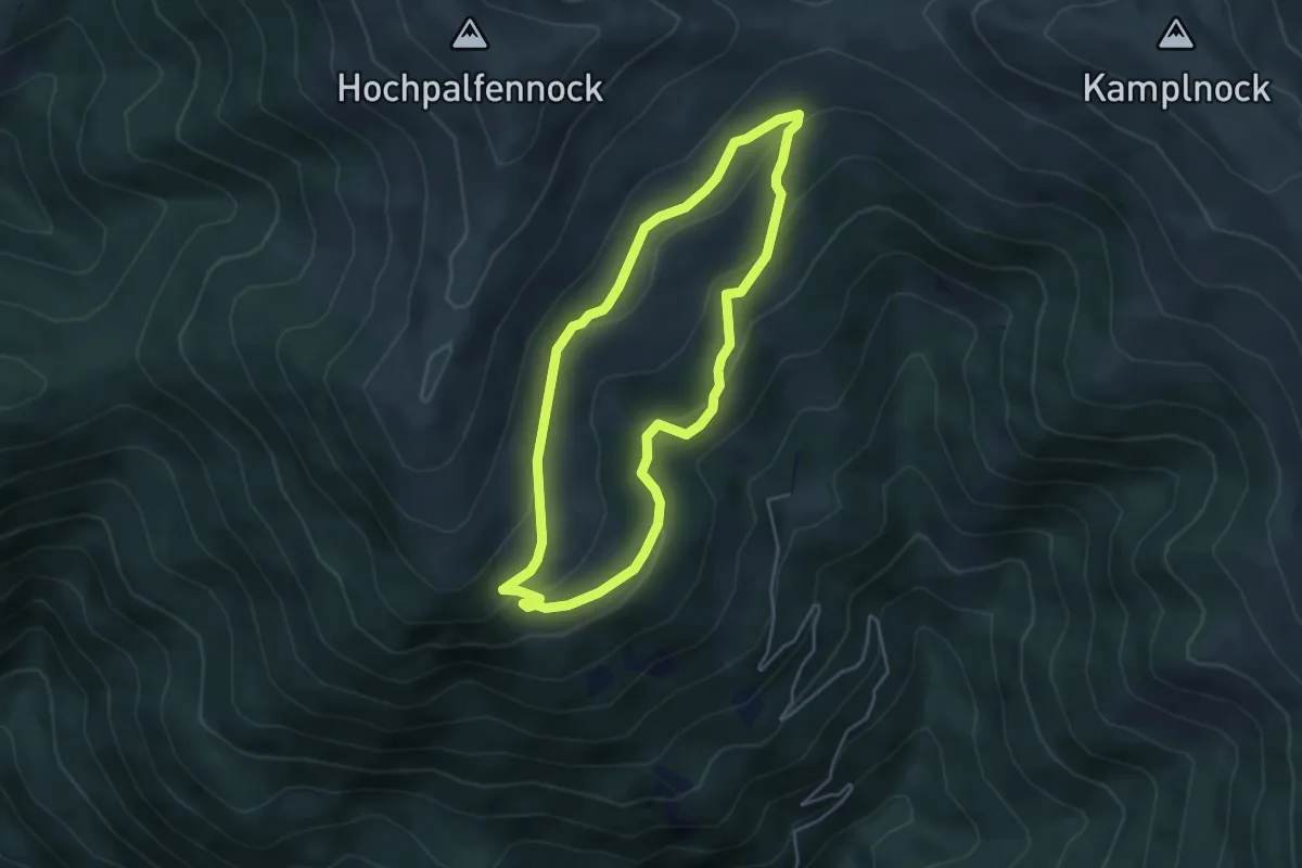
Easy · Cabin
Sonnwiesen-Rundweg
4.1 km · ↑ 151 m · 1 h 21 min
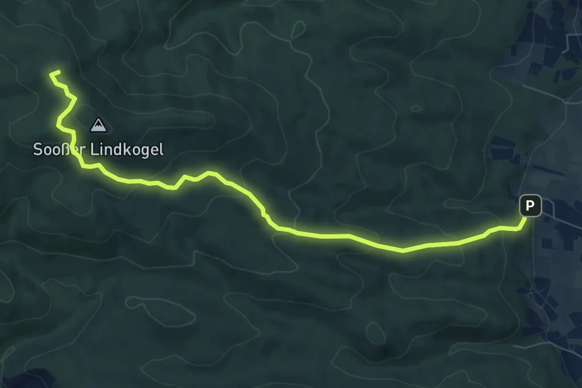
Medium · Summit
Sooß - Hinterer Lindkogel
8.2 km · ↑ 416 m · 2 h 50 min