Trails in Austria
9,777 hiking trails, each with its route, climb, walking time and grade.
All trails, page 107 of 204
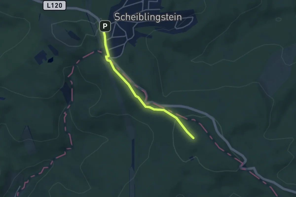
Easy · Summit
Sophienalpe - Scheiblingstein
2.9 km · ↑ 80 m · 51 min
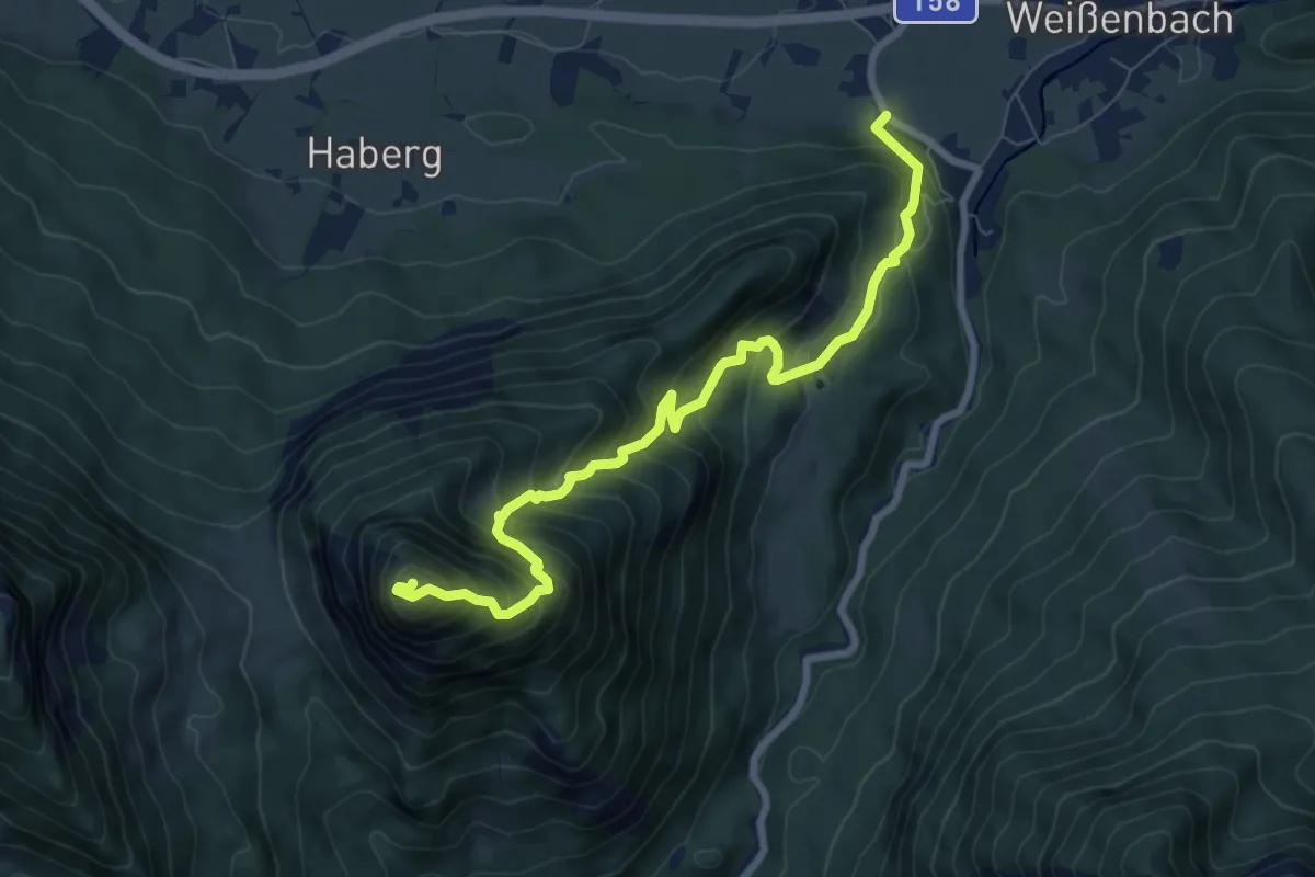
Demanding · Summit
Sparber
8.2 km · ↑ 970 m · 4 h 3 min
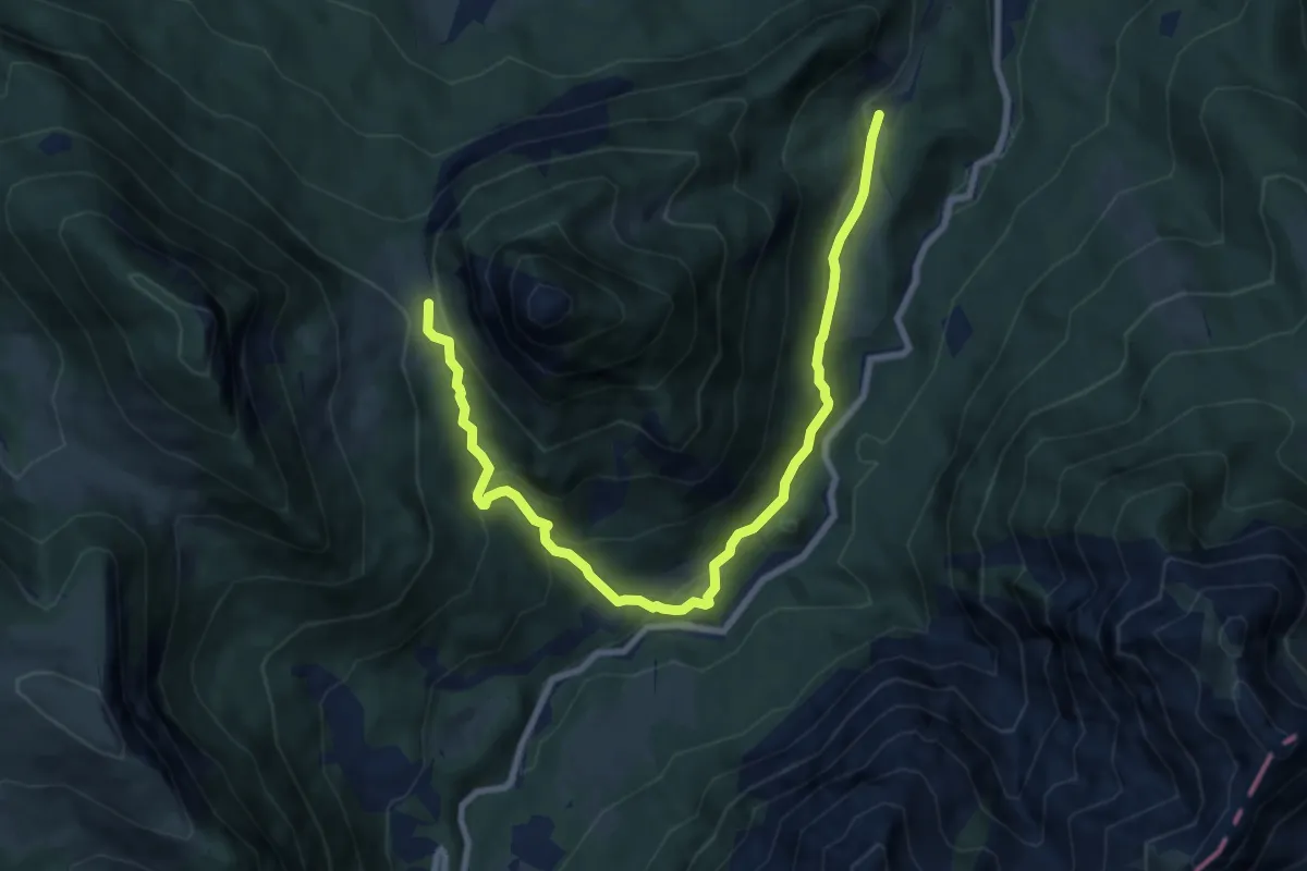
Medium · Trail
Sparberrundweg
9.5 km · ↑ 381 m · 3 h 4 min
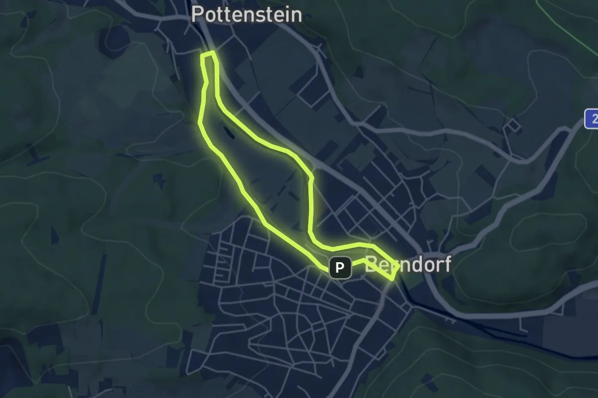
Easy · Trail
Sparkassen Runde (Berndorf)
4.0 km · ↑ 15 m · 1 h 2 min
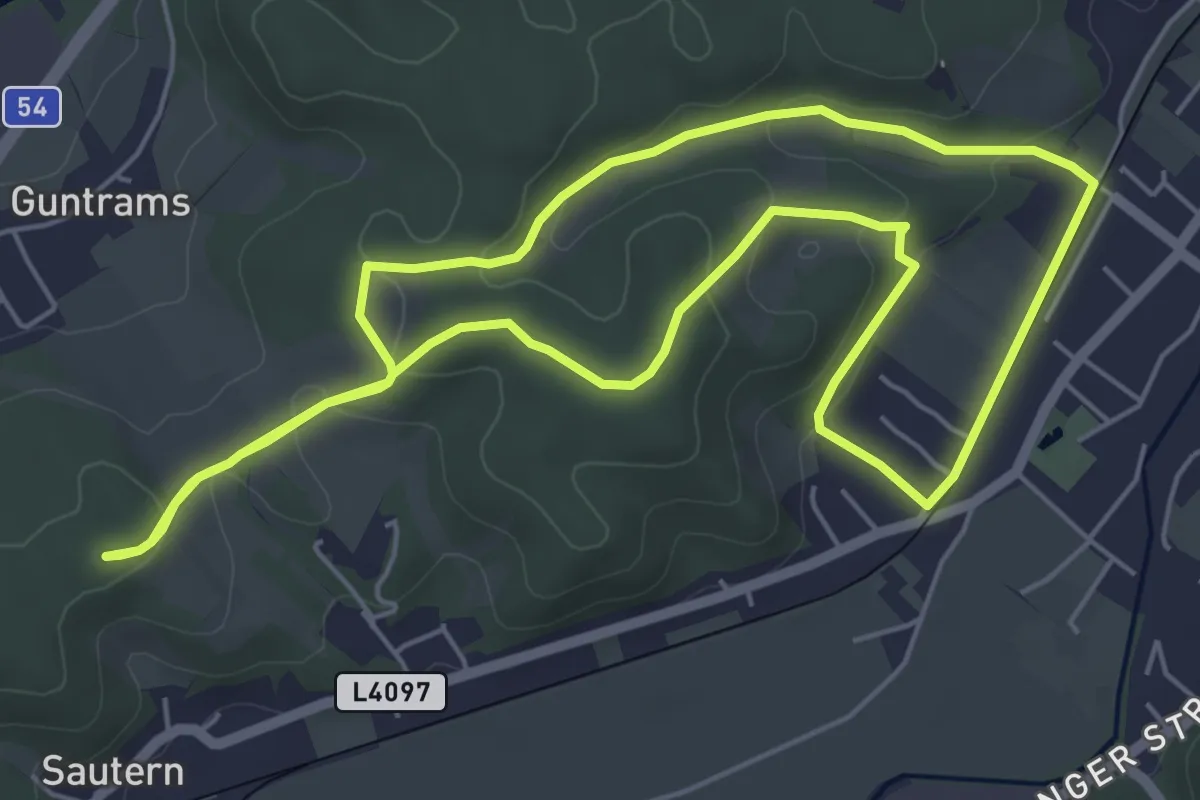
Easy · Trail
Sparkassenrunde (Pitten)
5.7 km · ↑ 108 m · 1 h 39 min
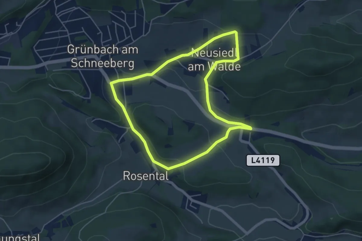
Easy · Trail
Sparkasse Runde bei Grünbach
4.4 km · ↑ 98 m · 1 h 19 min
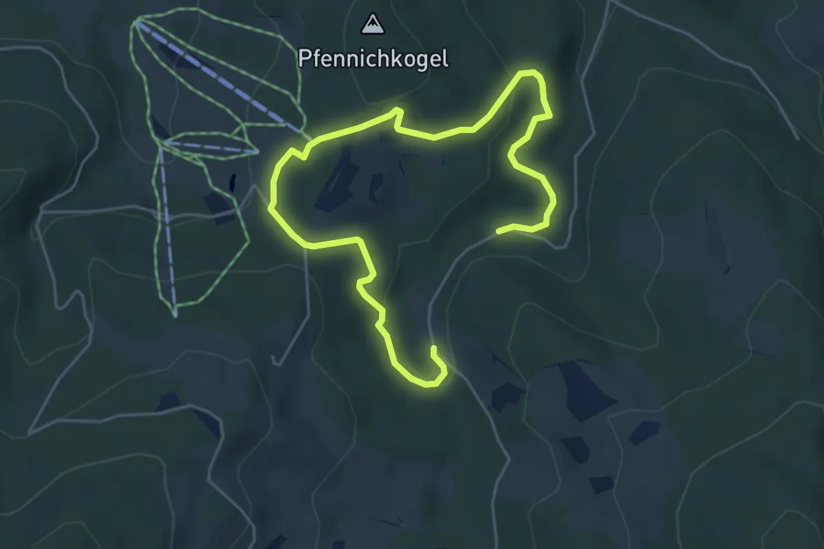
Easy · Trail
Spazierweg
6.3 km · ↑ 161 m · 1 h 50 min
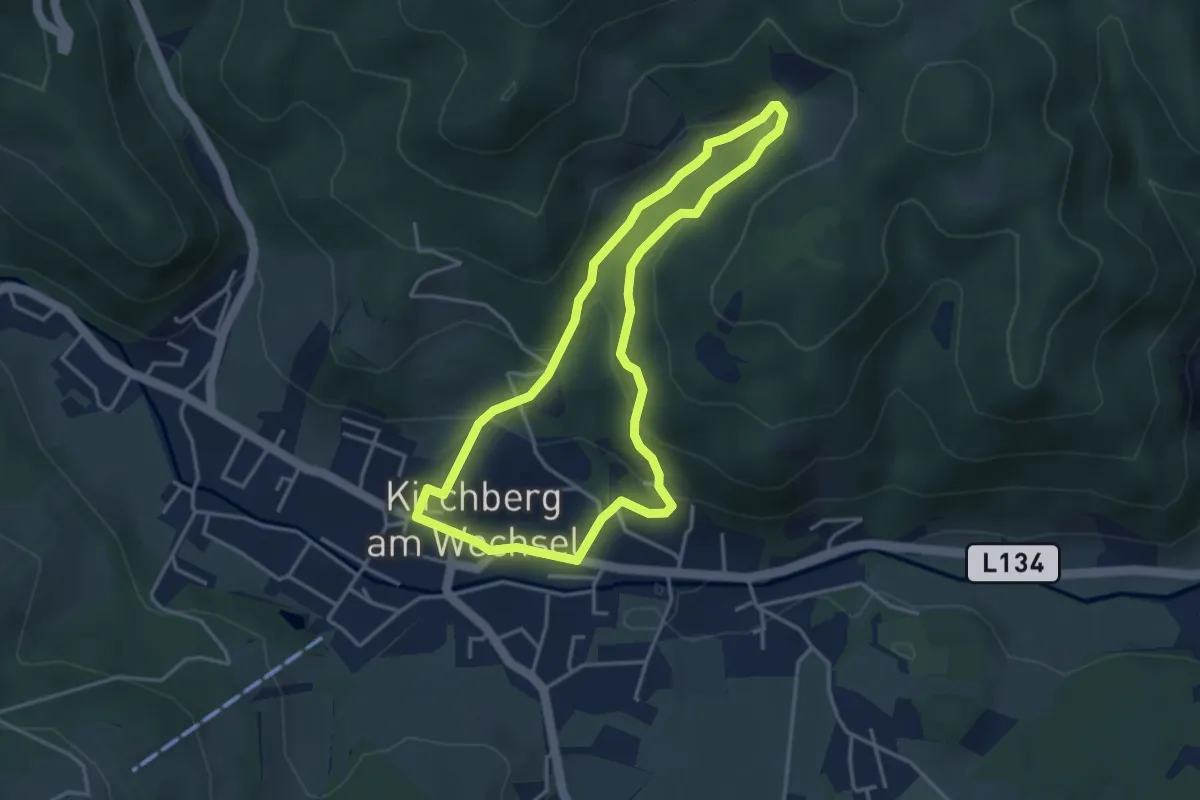
Easy · Trail
Spazierweg 10
3.5 km · ↑ 162 m · 1 h 14 min
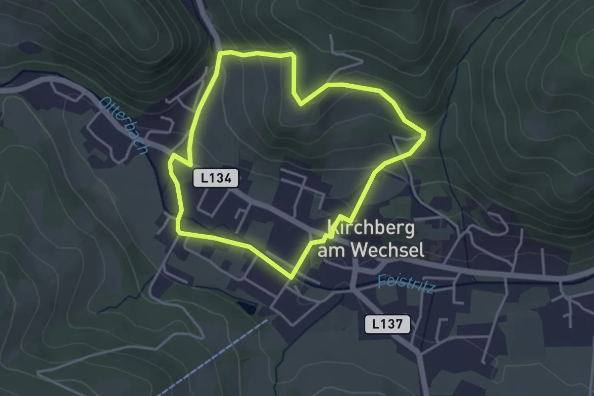
Easy · Trail
Spazierweg 11
3.1 km · ↑ 113 m · 1 h 1 min
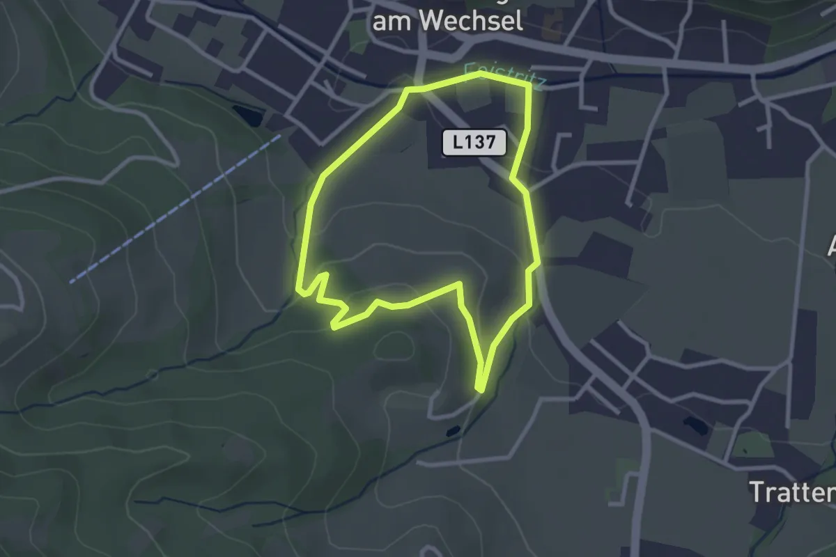
Easy · Trail
Spazierweg 12
2.5 km · ↑ 74 m · 46 min
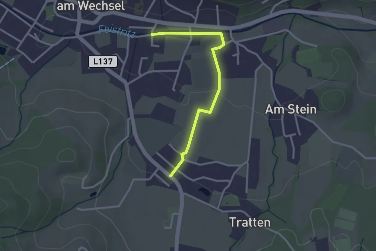
Easy · Trail
Spazierweg 2
2.5 km · ↑ 36 m · 40 min
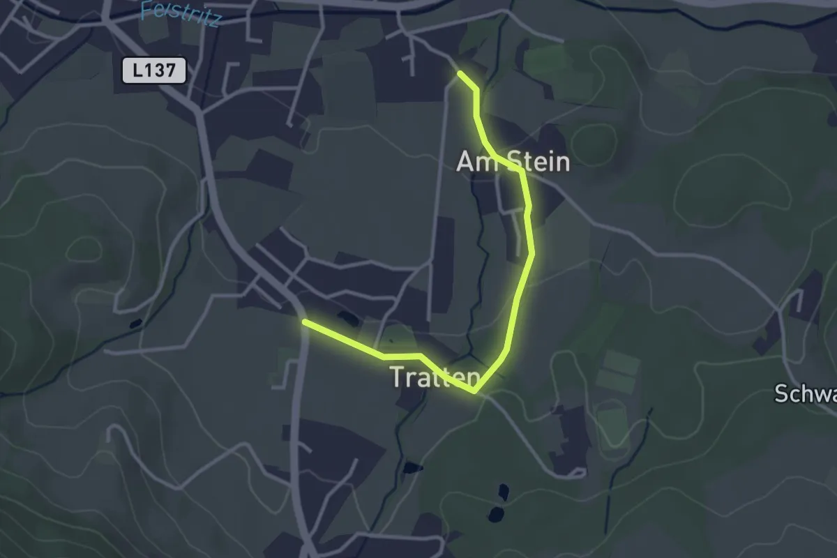
Easy · Trail
Spazierweg 3
2.9 km · ↑ 28 m · 45 min
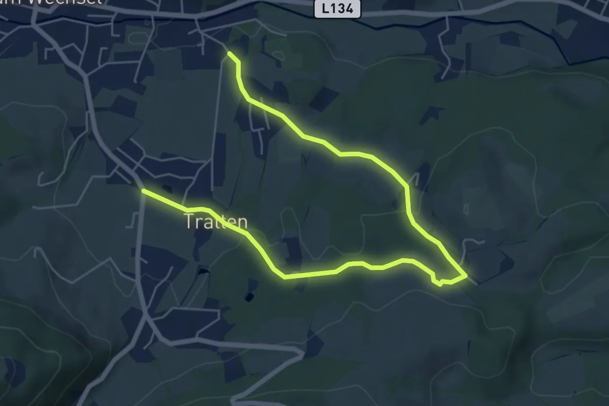
Easy · Trail
Spazierweg 5
6.9 km · ↑ 150 m · 1 h 57 min
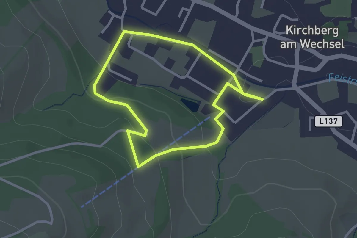
Easy · Trail
Spazierweg 6
2.1 km · ↑ 71 m · 41 min
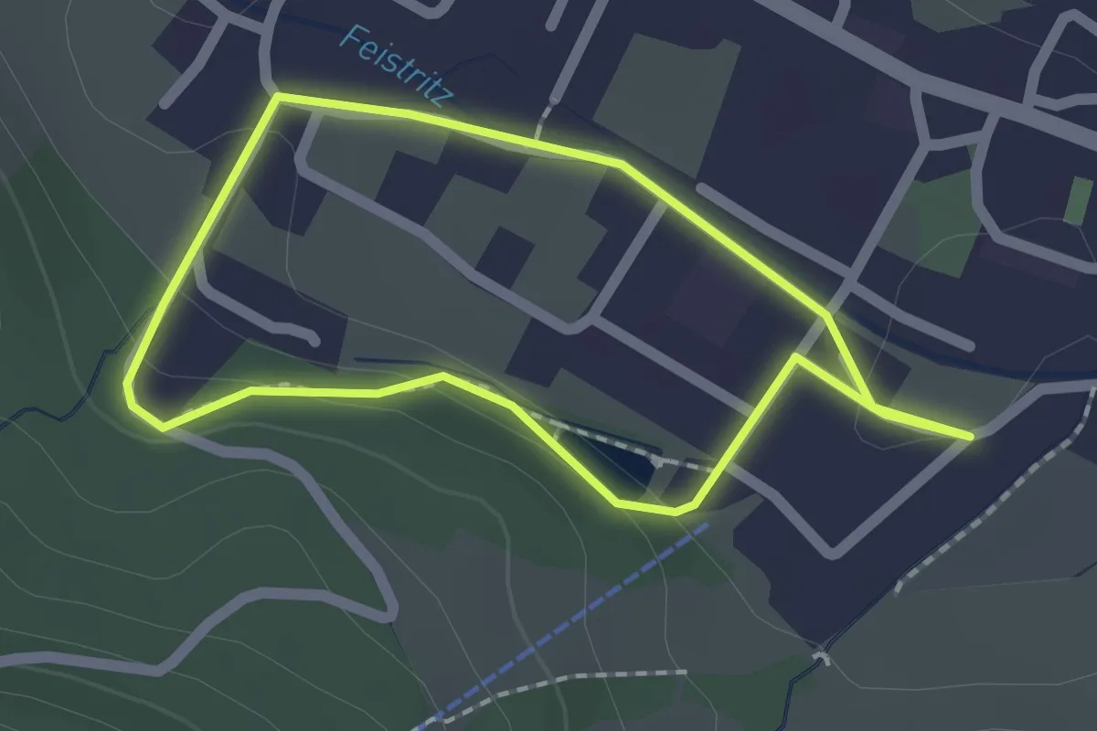
Easy · Trail
Spazierweg 7
1.6 km · ↑ 26 m · 28 min
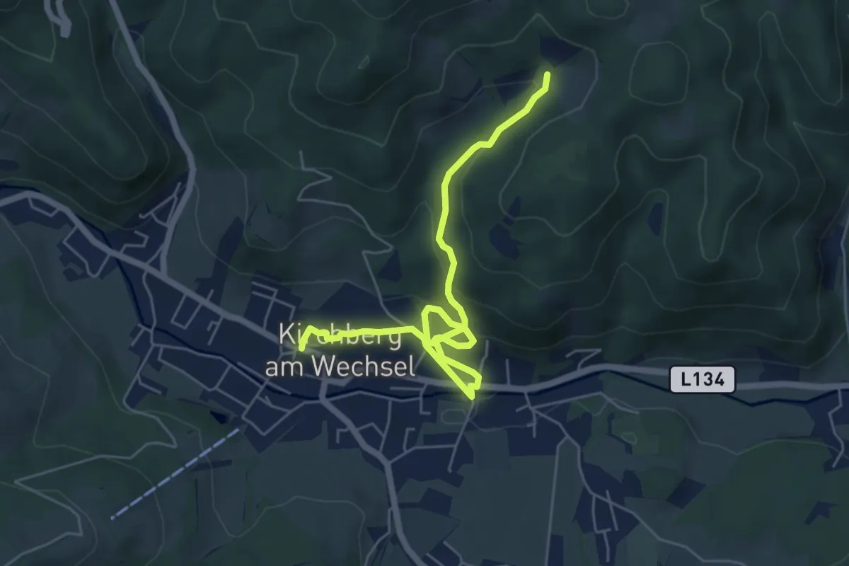
Easy · Trail
Spazierweg 9
6.2 km · ↑ 295 m · 2 h 6 min
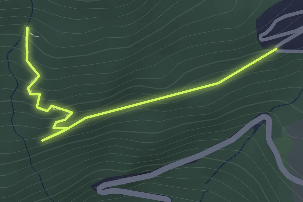
Easy · Trail
Spechtenweg
2.1 km · ↑ 125 m · 46 min
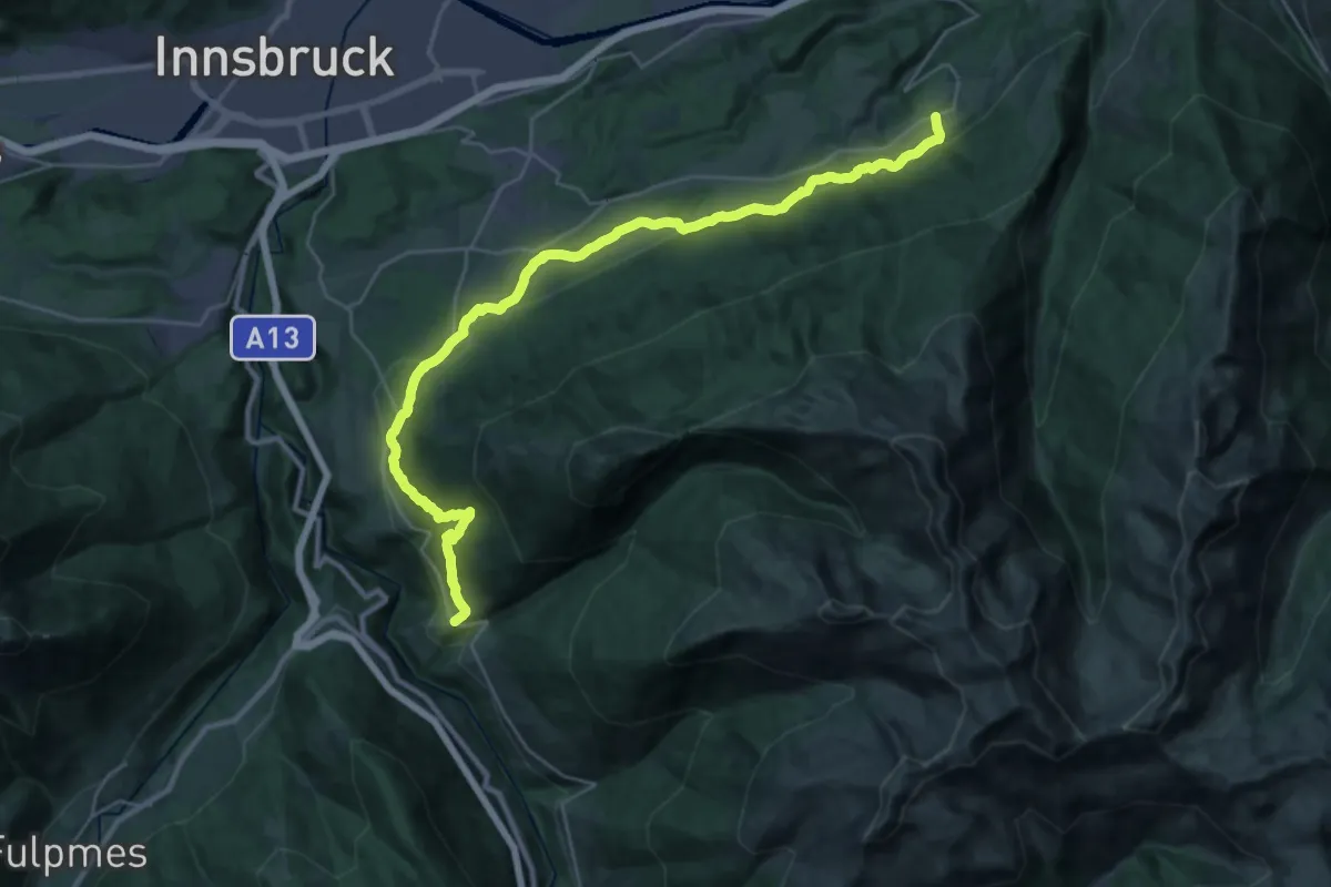
Medium · Trail
Speckbacherweg
16.0 km · ↑ 663 m · 5 h 21 min
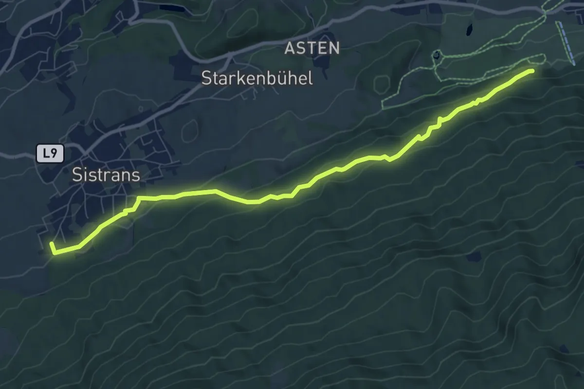
Medium · Trail
Speckbacherweg
9.1 km · ↑ 337 m · 2 h 52 min
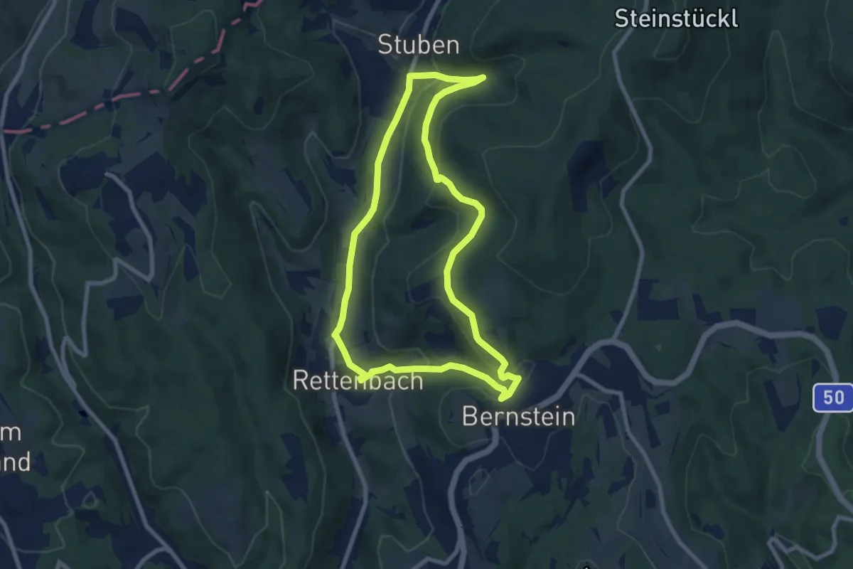
Easy · Trail
Speckkammerl Rundwanderweg (Bernstein - Stuben)
7.5 km · ↑ 242 m · 2 h 24 min
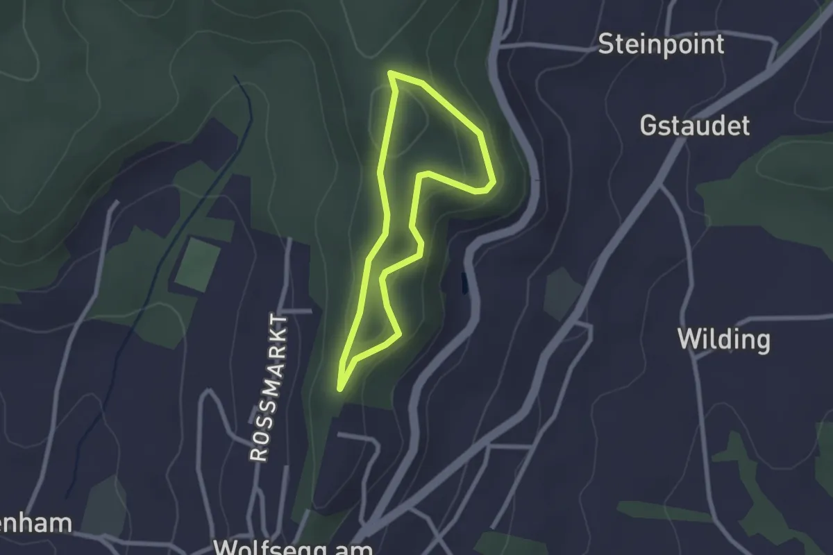
Easy · Trail
Speed Schul Runde
1.8 km · ↑ 47 m · 34 min
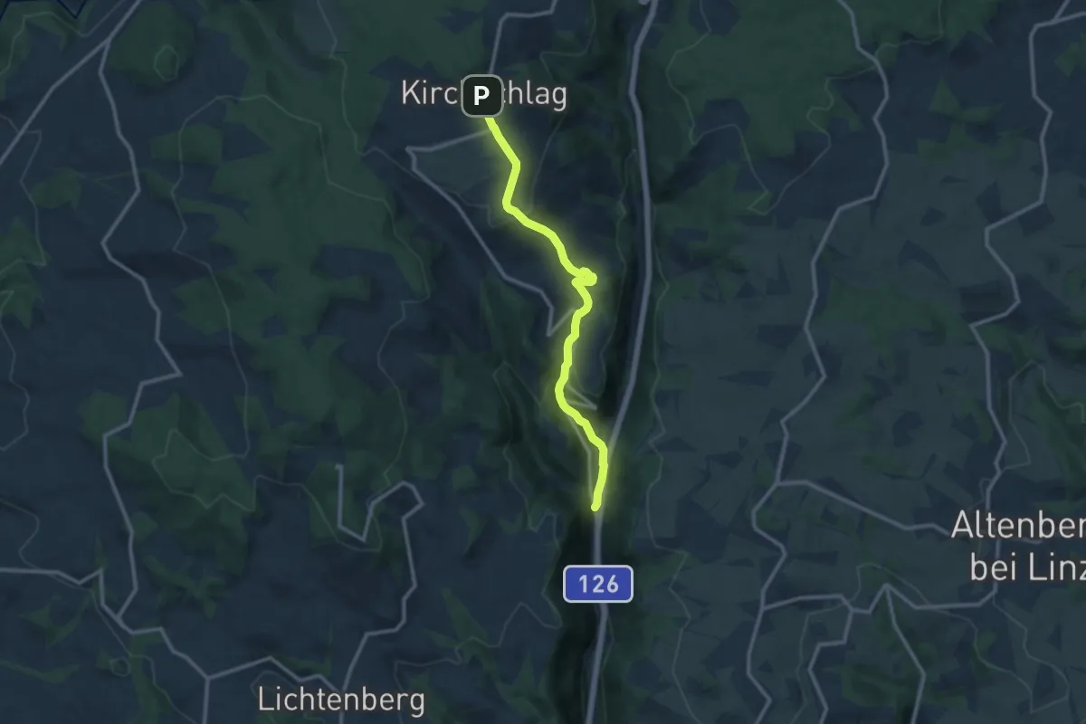
Medium · Trail
Speichmühle-Kirchschlag
10.2 km · ↑ 492 m · 3 h 28 min
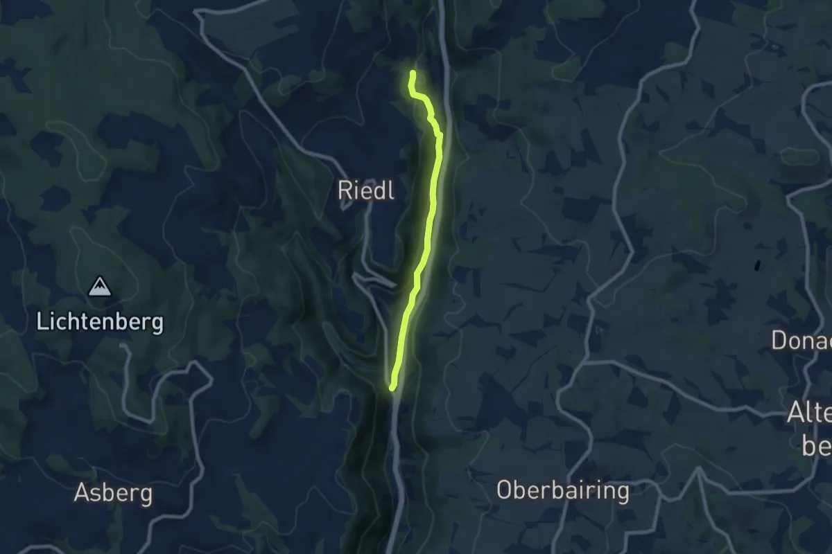
Easy · Trail
Speichmühle-Wildberg
6.3 km · ↑ 182 m · 1 h 52 min
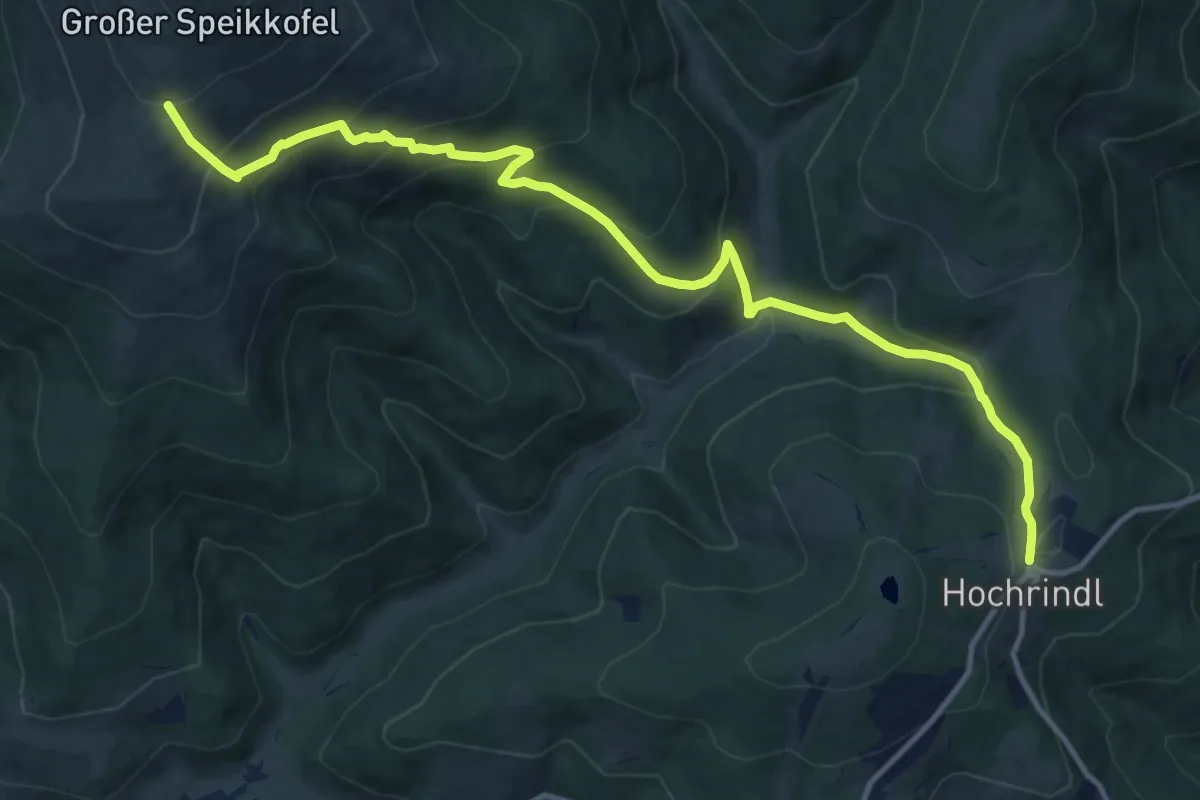
Demanding · Trail
Speikkofel
13.9 km · ↑ 890 m · 5 h 13 min
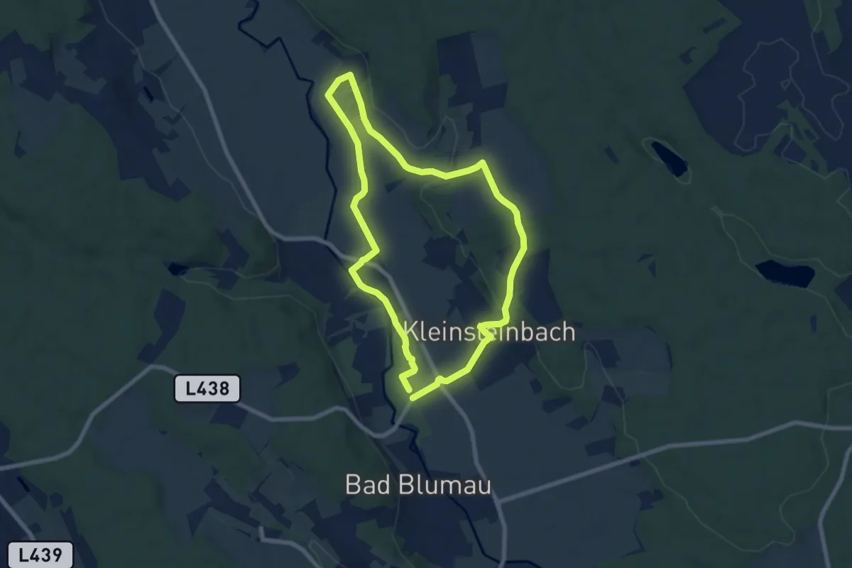
Easy · Trail
Speilbrunnerweg
6.5 km · ↑ 51 m · 1 h 44 min
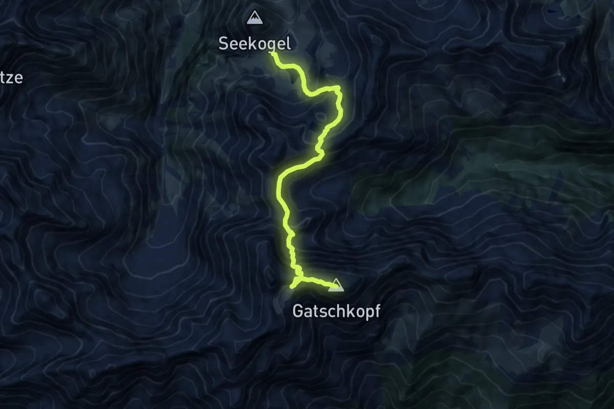
Expert · Summit
Spiehlerweg
10.8 km · ↑ 1184 m · 5 h 7 min
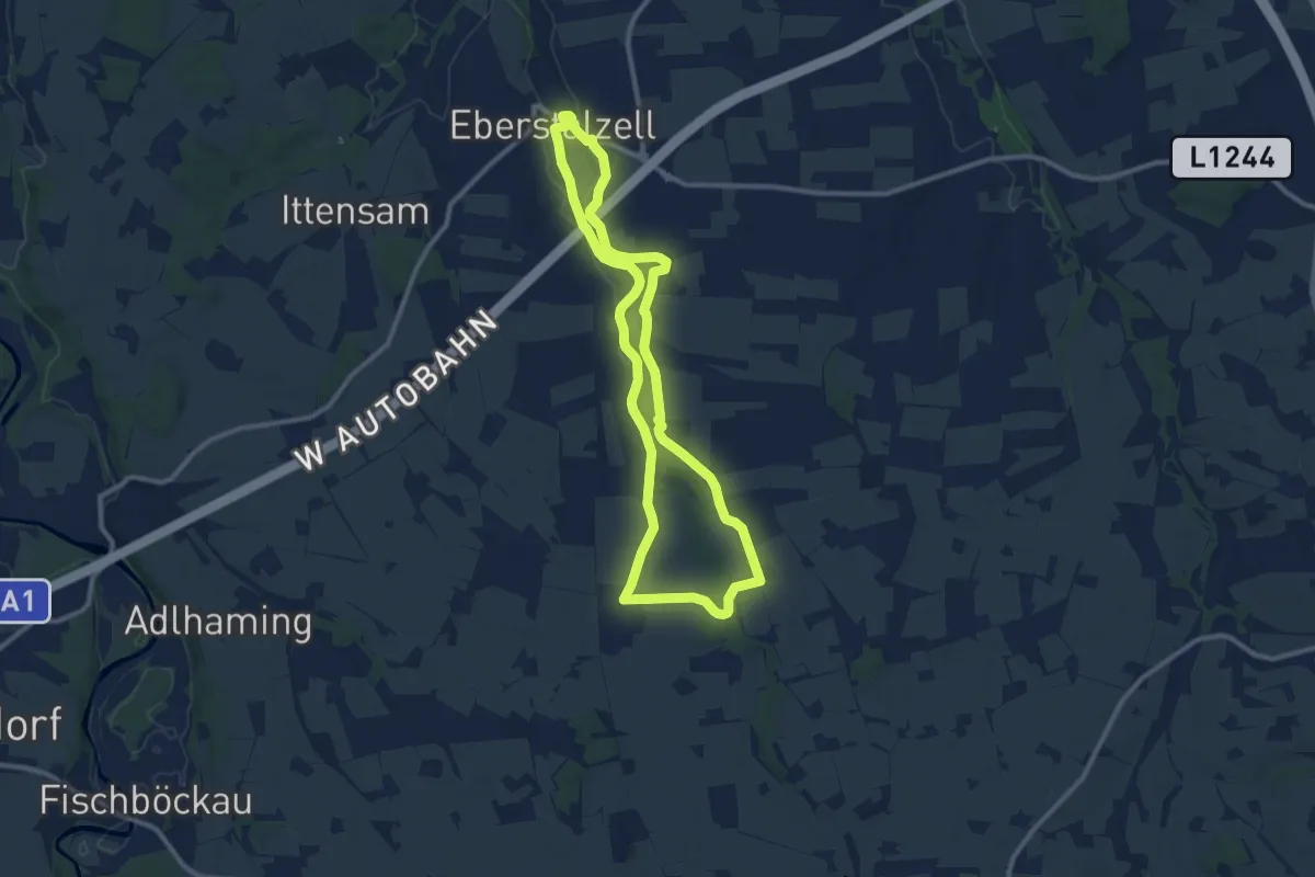
Medium · Trail
Spieldorf Runde
9.8 km · ↑ 74 m · 2 h 37 min
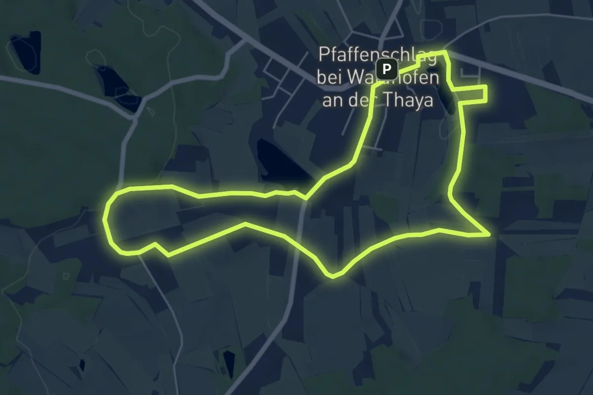
Easy · Trail
Spielplatzweg
5.6 km · ↑ 63 m · 1 h 32 min
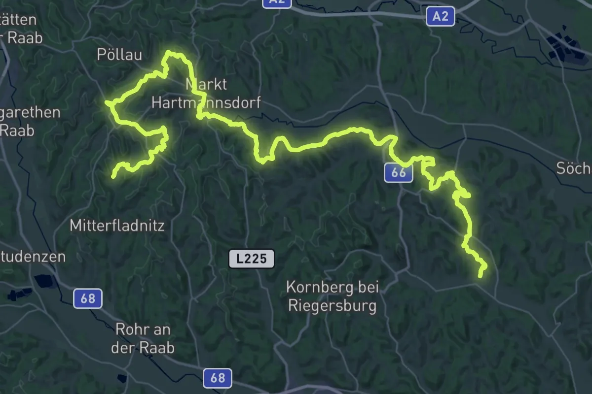
Demanding · Trail
Spirituelles Dach
34.1 km · ↑ 830 m · 10 h 22 min
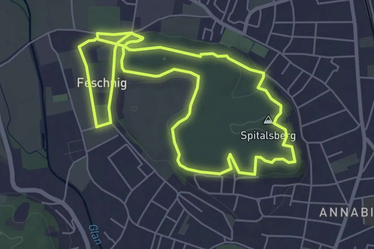
Easy · Summit
Spitalberg-Runde
5.6 km · ↑ 123 m · 1 h 39 min
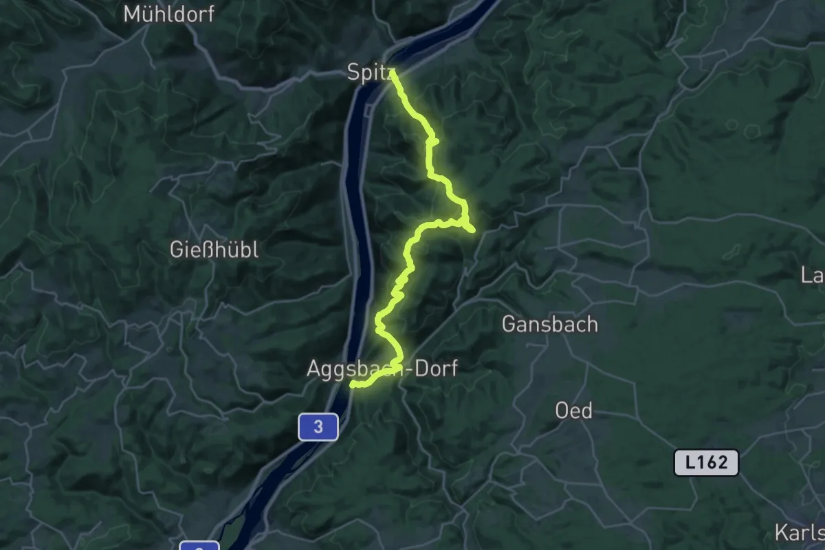
Medium · Trail
Spitz - Aggsbach Dorf
13.3 km · ↑ 640 m · 4 h 43 min
Medium · Summit
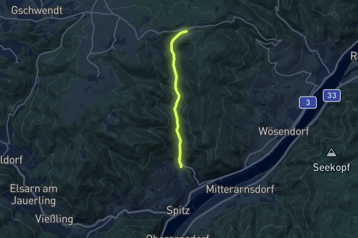
Spitzberg
2.0 km · ↑ 134 m · 46 min
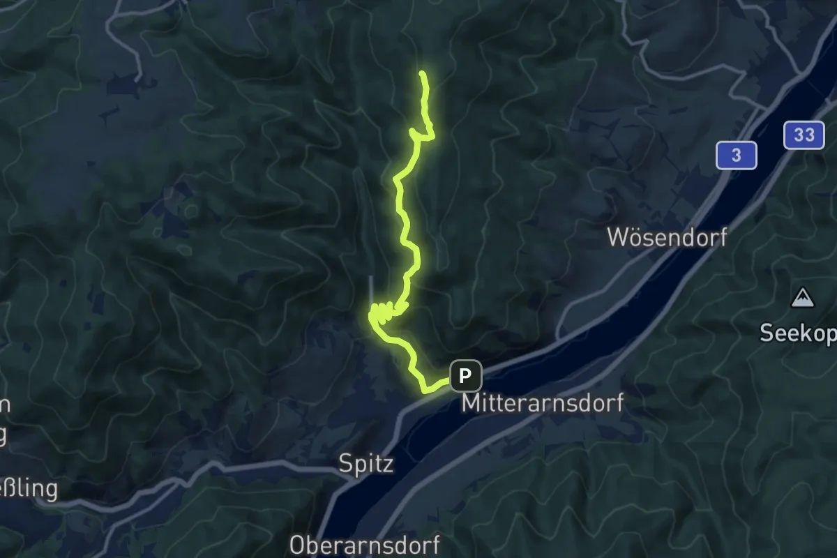
Medium · Trail
Spitz - Buschandlwand/Gruberwarte
8.4 km · ↑ 431 m · 2 h 55 min
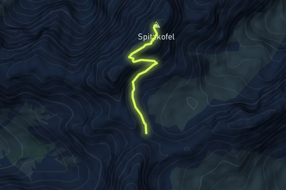
Medium · Summit
Spitz-Gruberwarte (gelb)
11.4 km · ↑ 594 m · 3 h 59 min
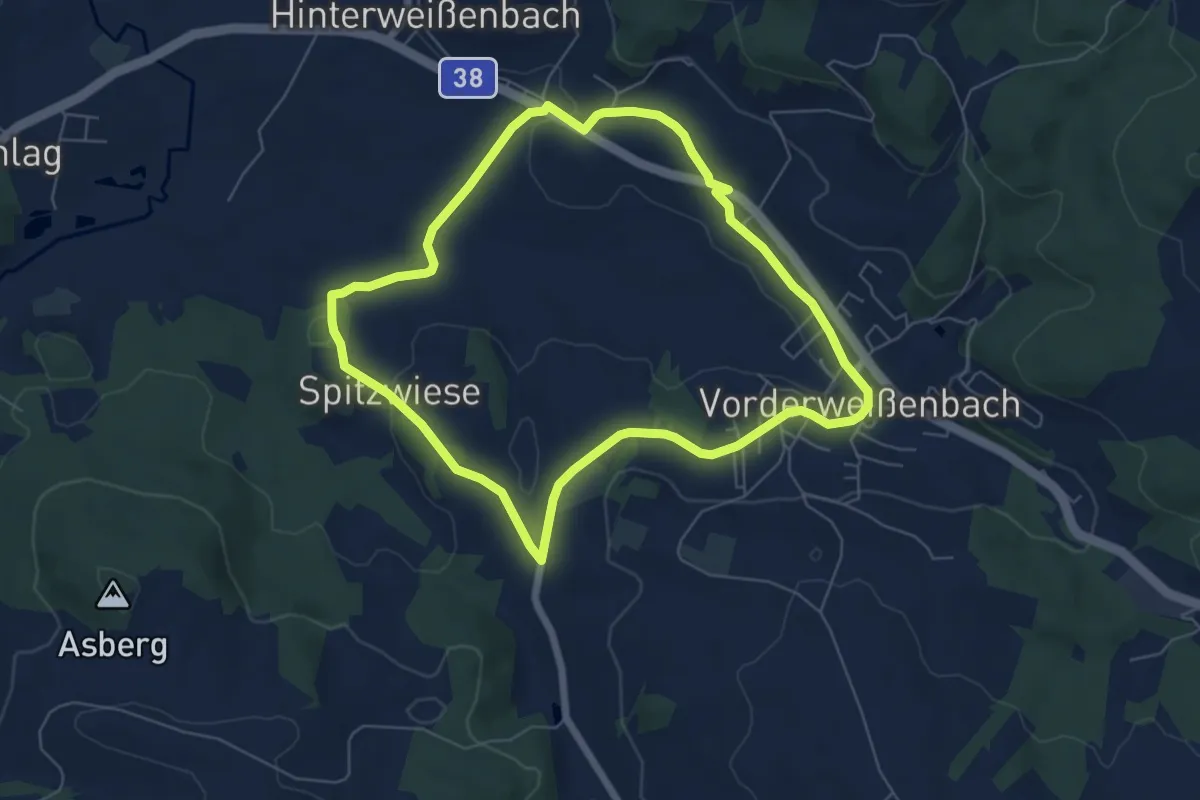
Expert · Summit
Spitzkofel Klettersteig
3.4 km · ↑ 432 m · 1 h 44 min
Easy · Trail
Spitzwiesrunde
5.9 km · ↑ 100 m · 1 h 42 min
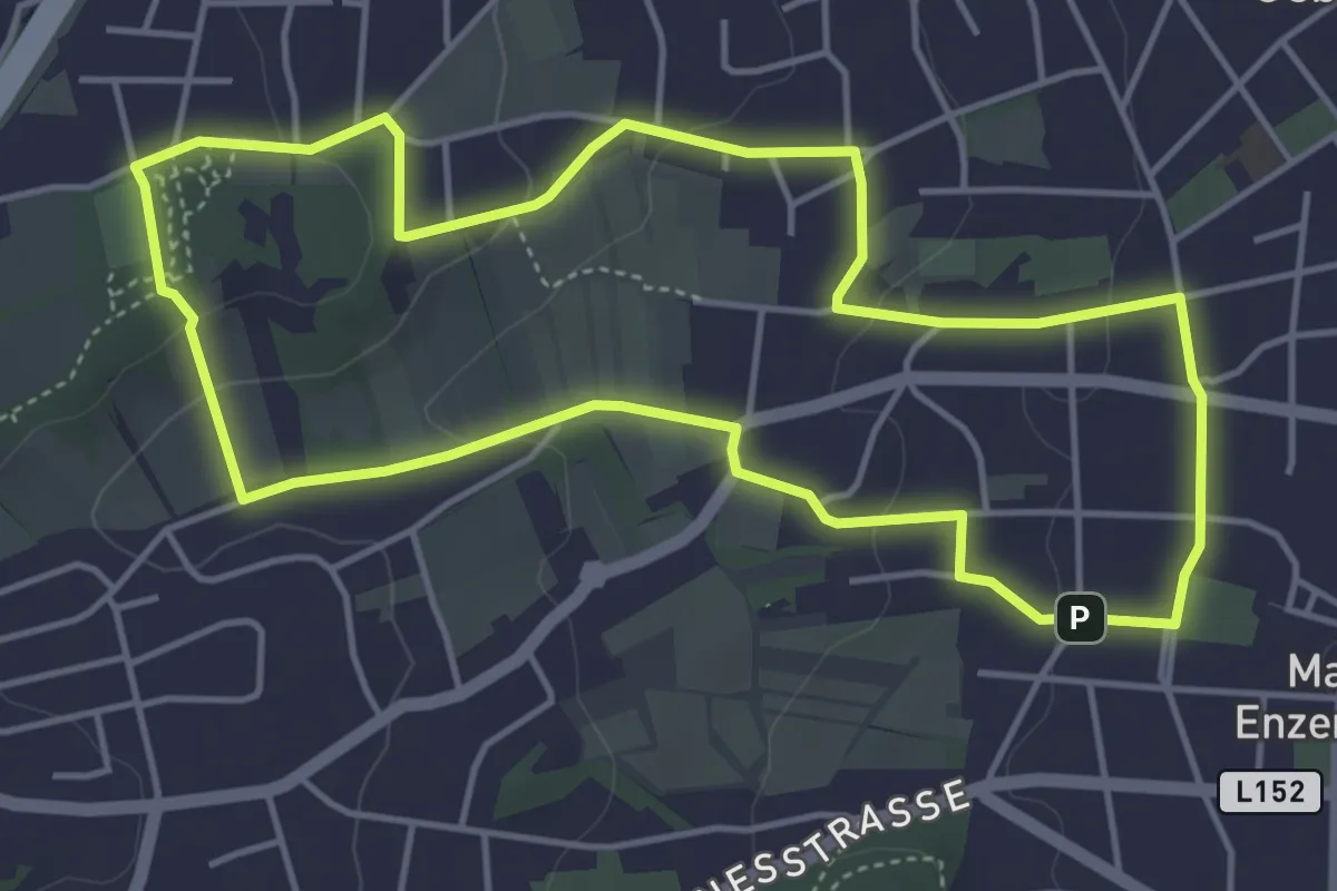
Easy · Trail
SPORTaktiv Runde
4.6 km · ↑ 98 m · 1 h 22 min
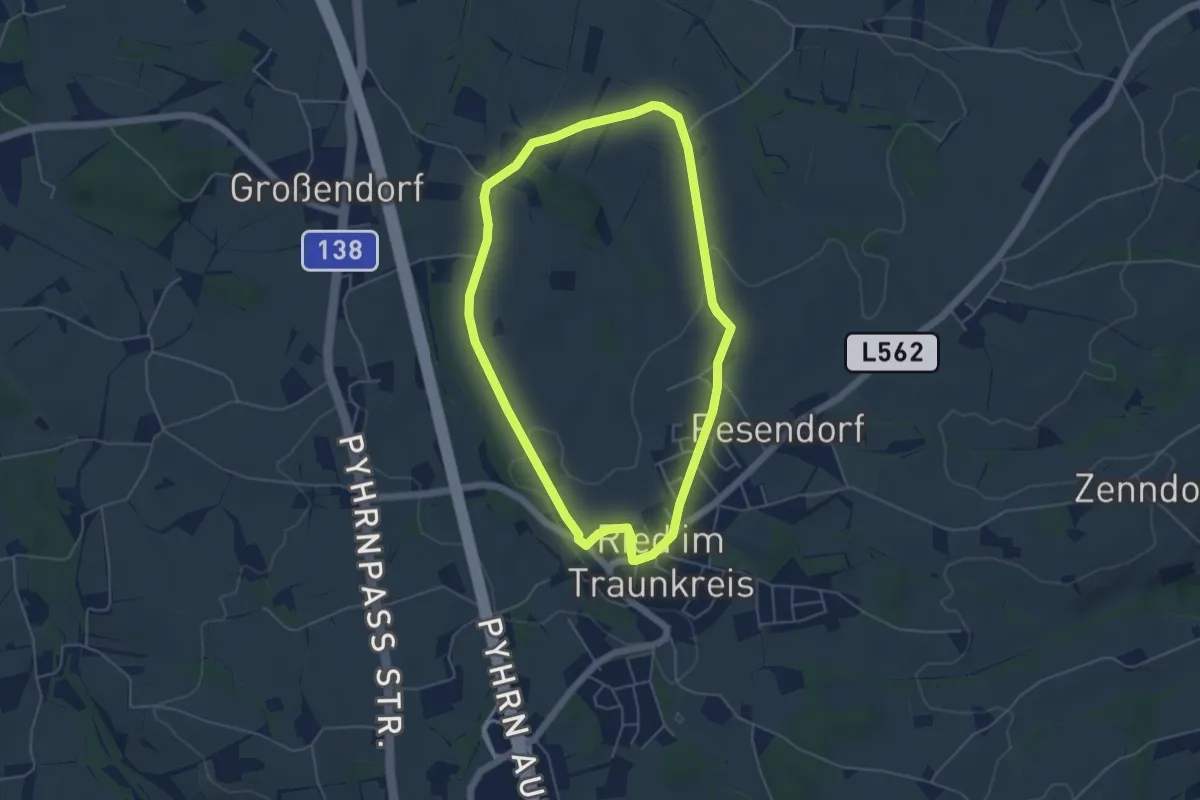
Easy · Trail
Sport Eybl Runde
4.7 km · ↑ 59 m · 1 h 18 min
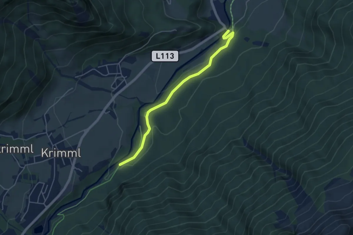
Easy · Trail
Sport Lachmayer Runde 3
4.1 km · ↑ 61 m · 1 h 7 min
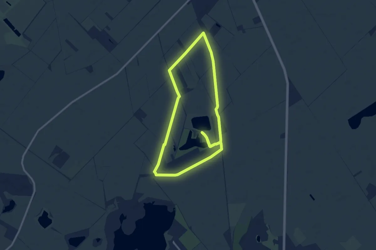
Easy · Trail
Sport-Runde
8.0 km · ↑ 0 m · 2 h
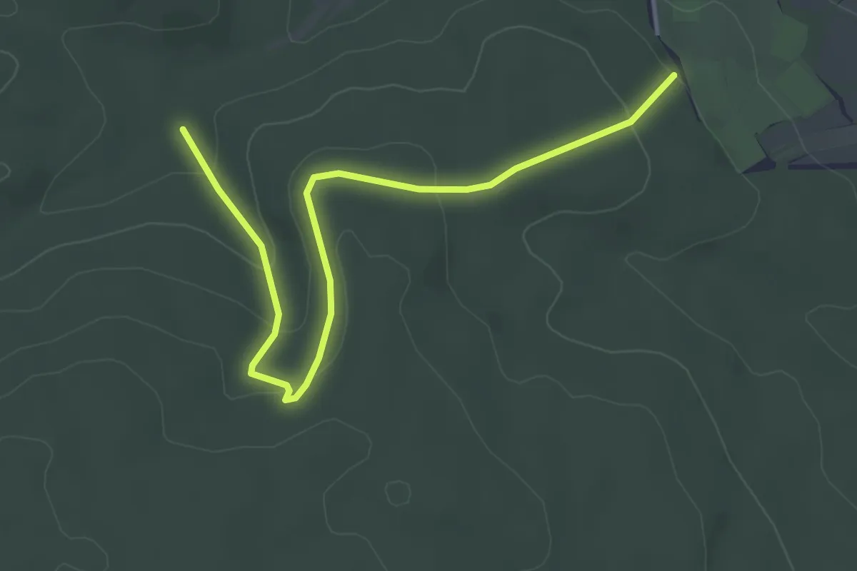
Easy · Trail
Sportschule Lindabrunn - Föhrenbrunnen - Lindabrunn
4.2 km · ↑ 132 m · 1 h 17 min
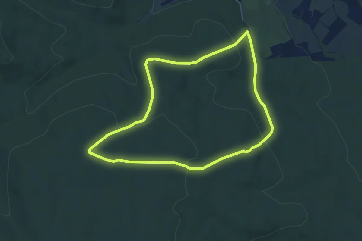
Easy · Trail
Sportschule Lindabrunn - Hölles/Bründl
4.3 km · ↑ 102 m · 1 h 17 min
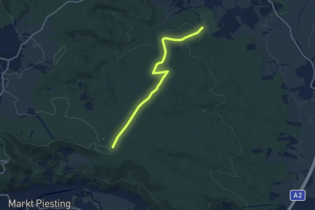
Easy · Trail
Sportschule Lindabrunn - Piesting
7.8 km · ↑ 103 m · 2 h 4 min
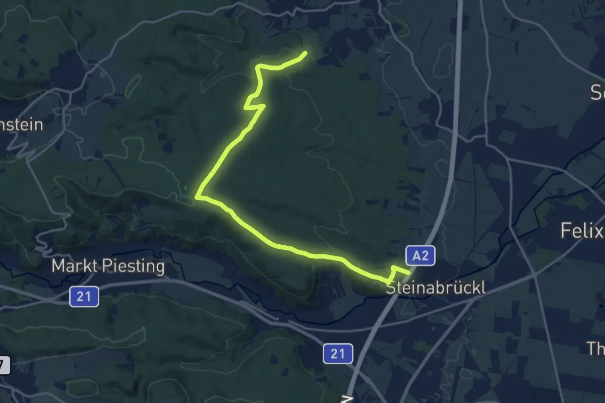
Medium · Trail
Sportschule Lindabrunn - Steinabrückl/Wöllersdorf
16.1 km · ↑ 279 m · 4 h 24 min
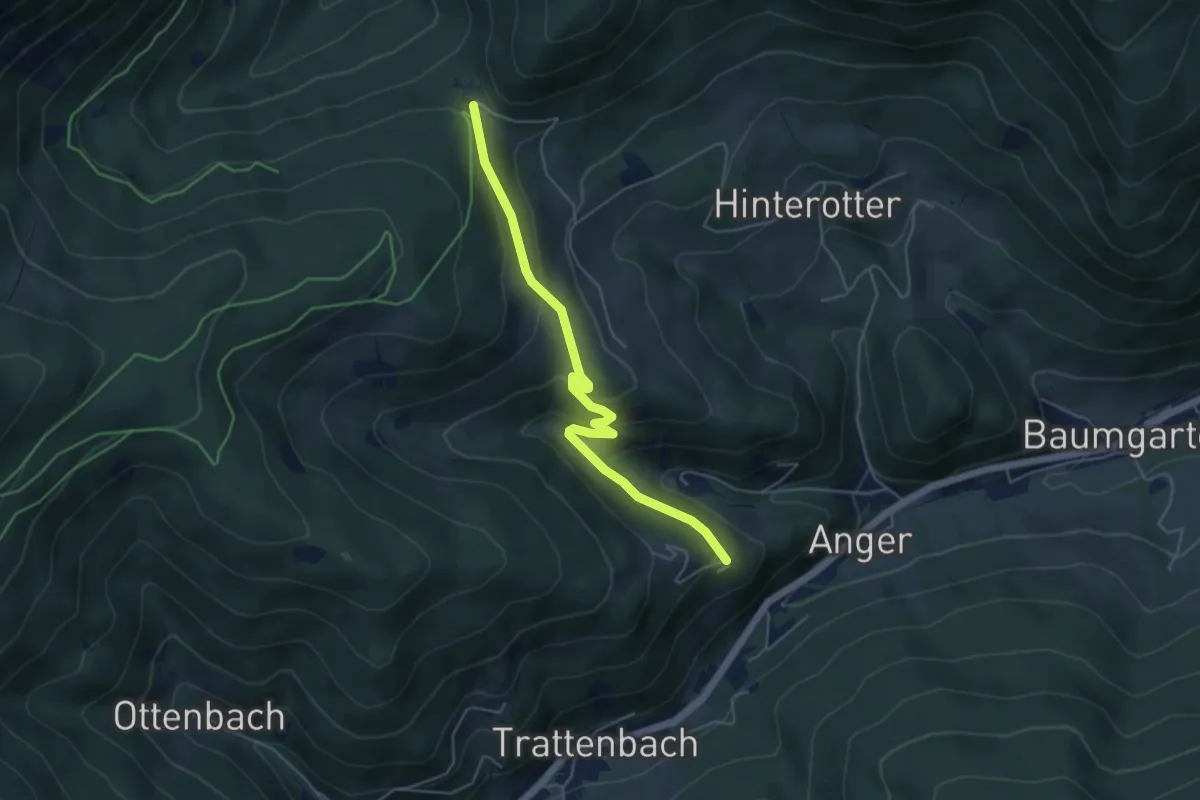
Easy · Trail
Spreitzhofer Weg T5
4.9 km · ↑ 218 m · 1 h 37 min
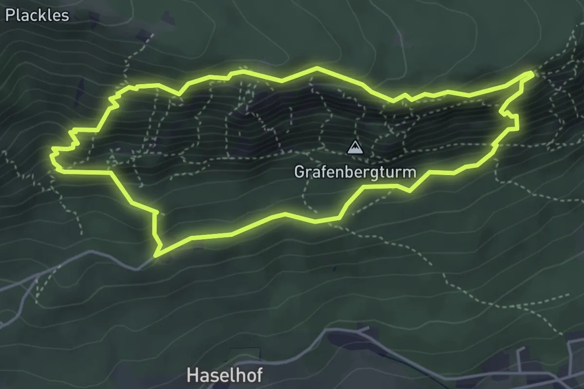
Expert · Summit
Springlessteig-Runde
4.3 km · ↑ 378 m · 1 h 54 min
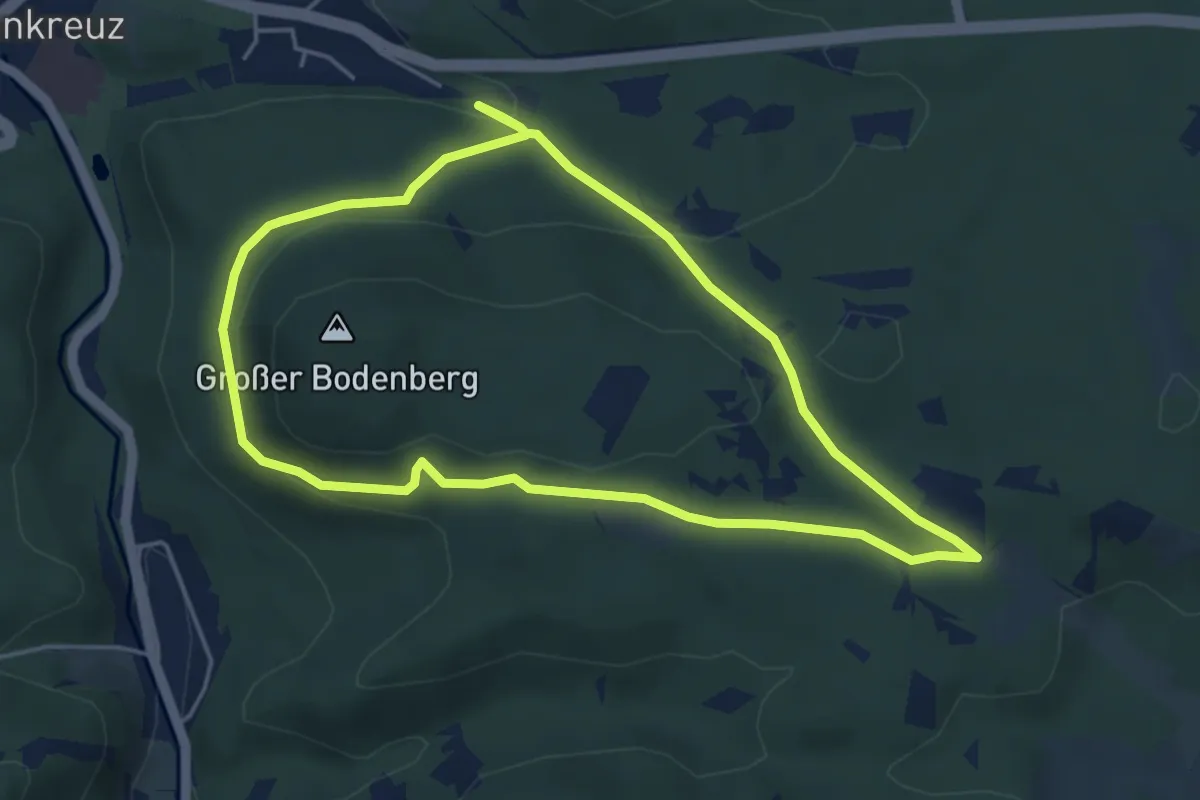
Easy · Trail
Spürnasenrunde Heiligenkreuz
4.5 km · ↑ 113 m · 1 h 22 min
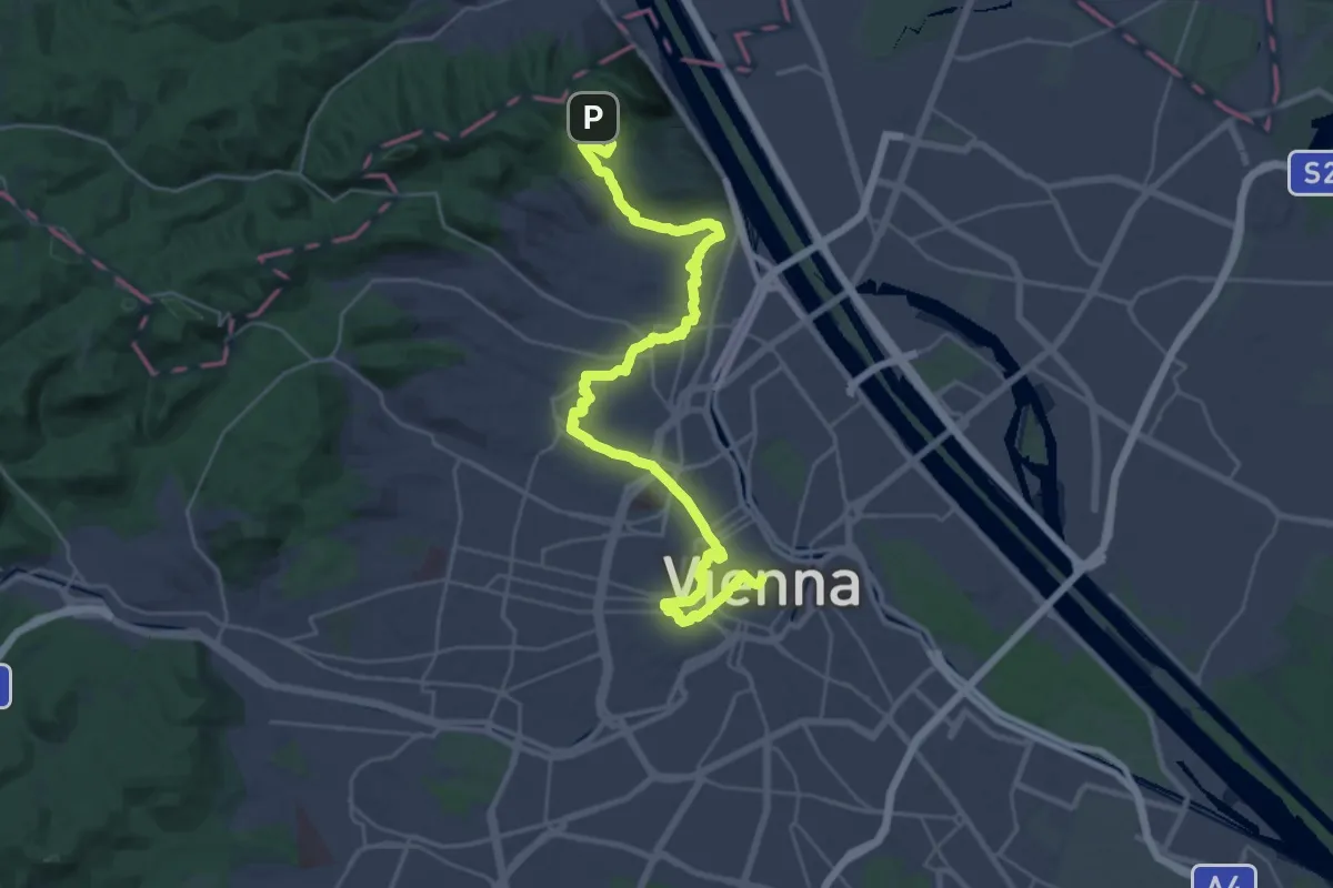
Medium · Trail
ST10 Kahlenberg - Stephansdom
17.3 km · ↑ 132 m · 4 h 45 min