Trails in Austria
9,777 hiking trails, each with its route, climb, walking time and grade.
All trails, page 108 of 204
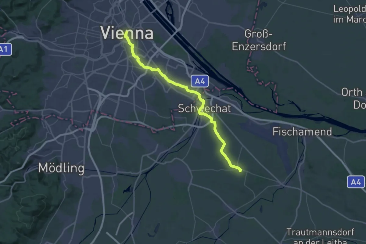
Demanding · Trail
ST11 Stephansdom - Rauchenwarth
22.8 km · ↑ 91 m · 5 h 54 min
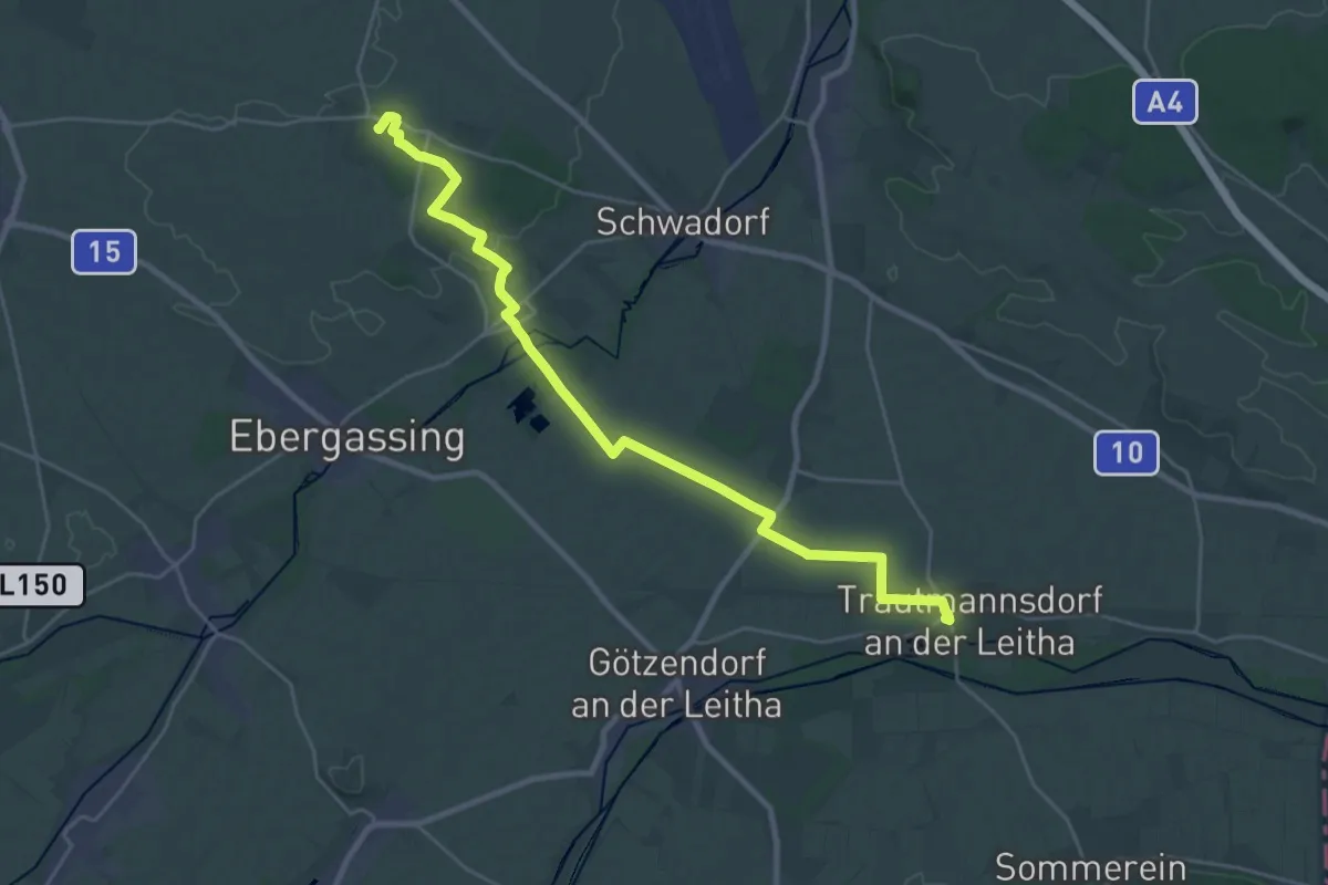
Demanding · Summit
ST12 Rauchenwarth - Bruck an der Leitha
26.3 km · ↑ 83 m · 6 h 23 min
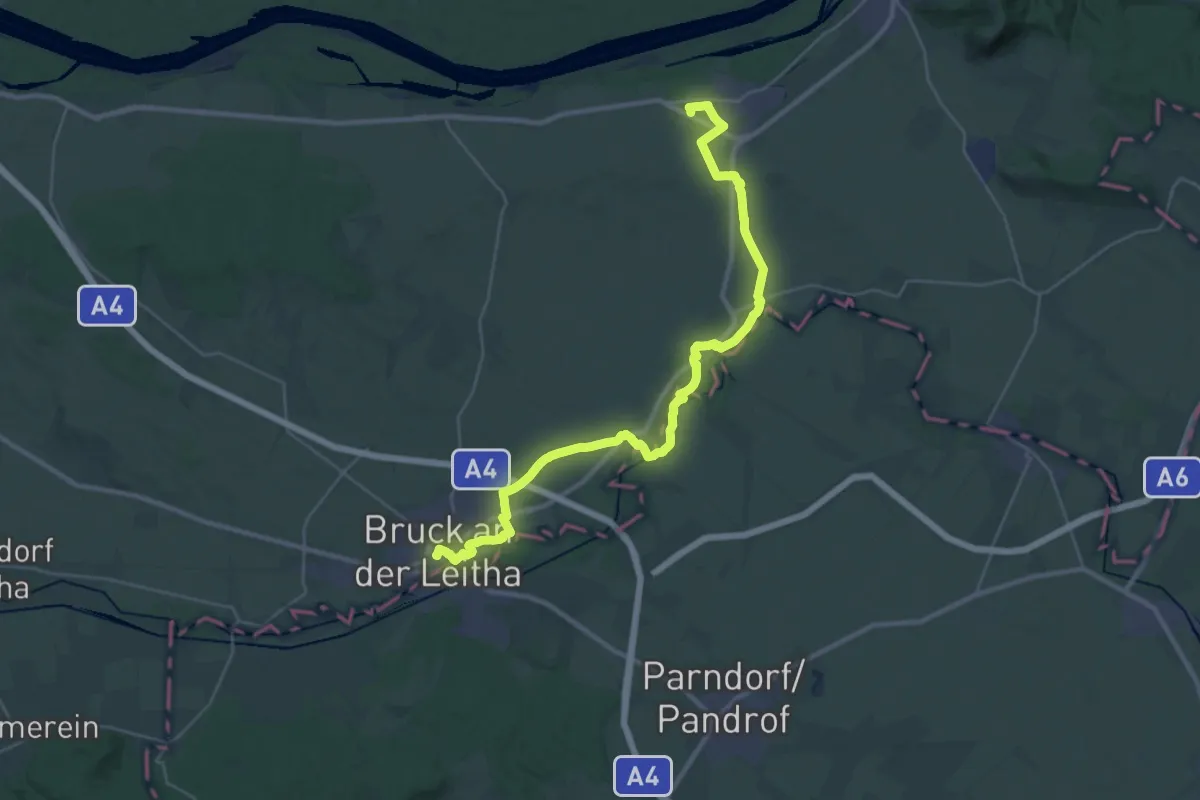
Medium · Trail
ST13 Bruck an der Leitha - Petronell Carnuntum
17.8 km · ↑ 51 m · 4 h 33 min
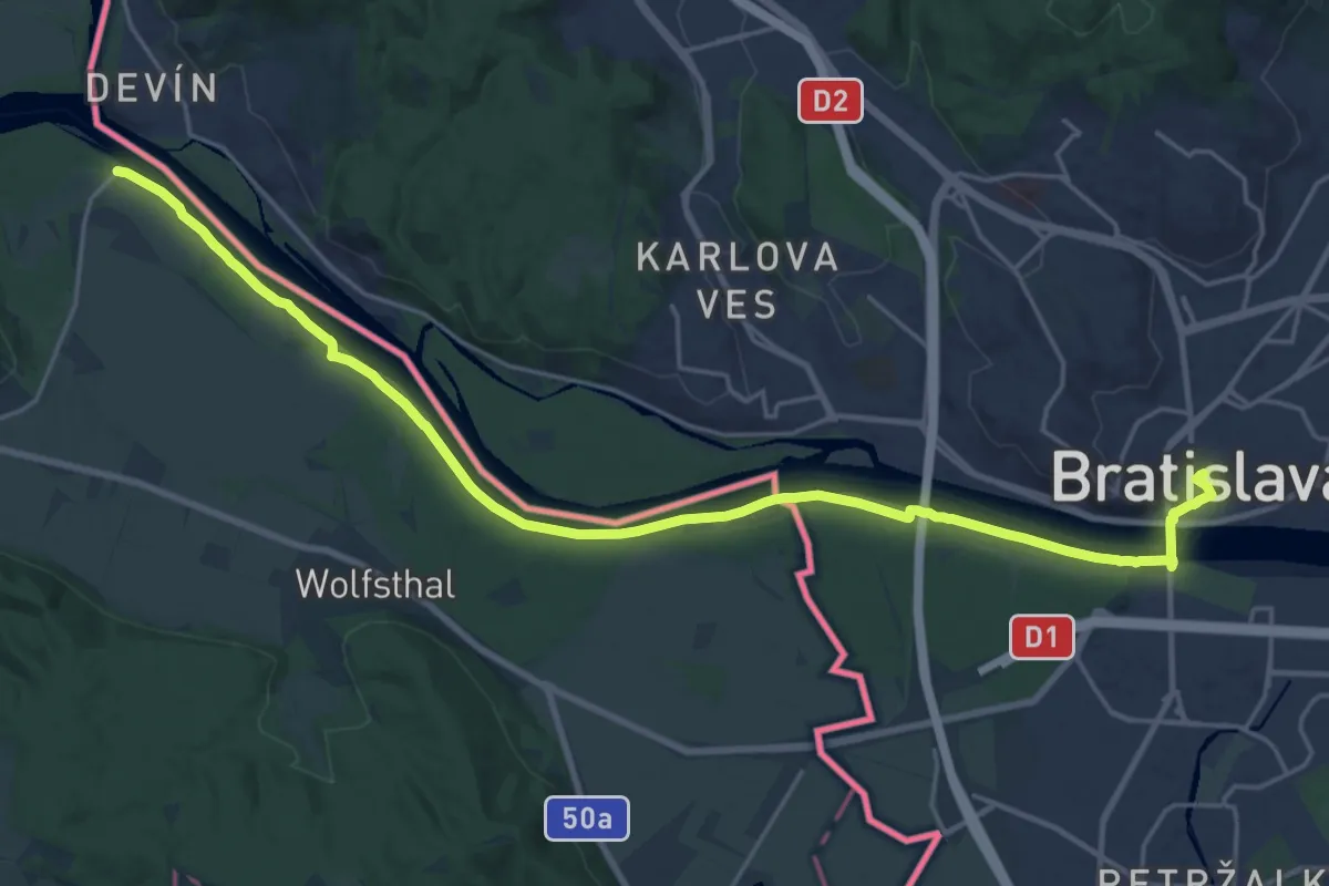
Demanding · Trail
ST14 Petronell-Carnuntum - Bratislava
24.2 km · ↑ 33 m · 5 h 48 min
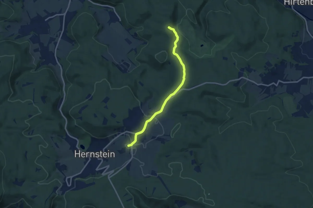
Medium · Summit
Stadtkreuz - Aigen - bis kurz vor Saurerkreuz
8.1 km · ↑ 158 m · 2 h 15 min
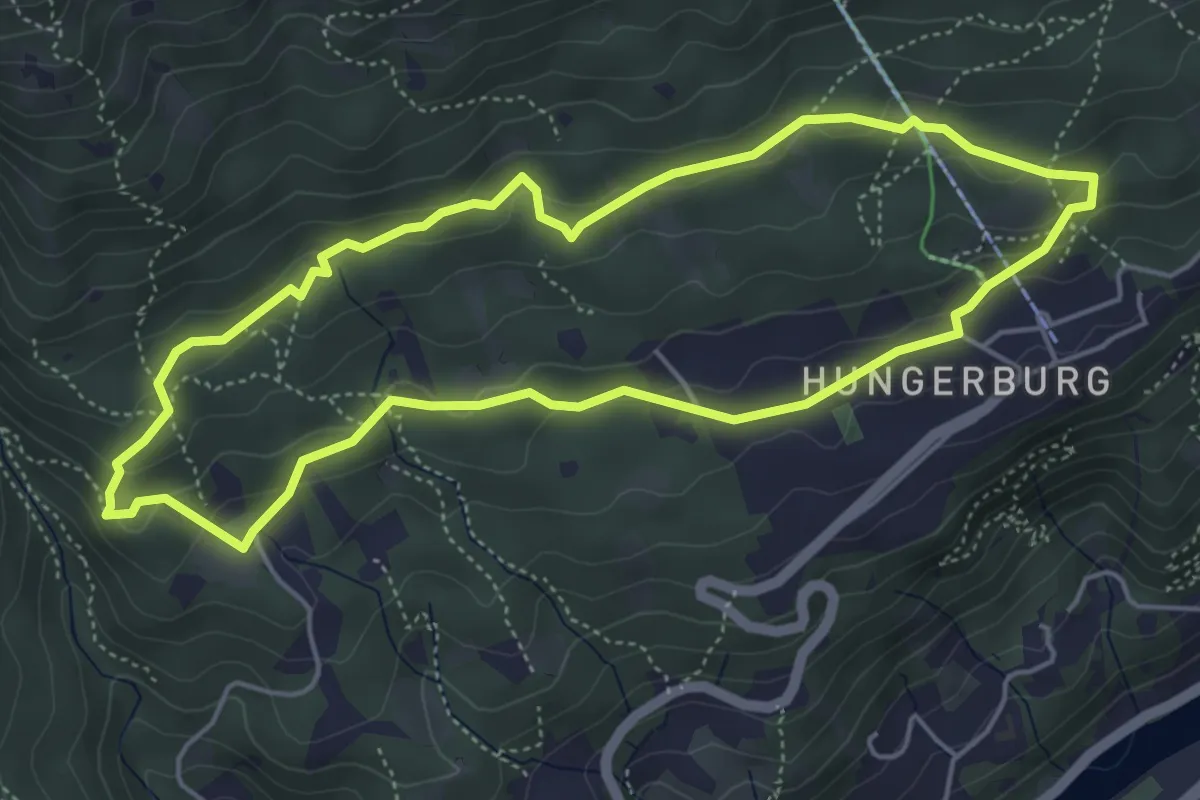
Medium · Trail
Stadtwald-Walk
4.8 km · ↑ 129 m · 1 h 28 min
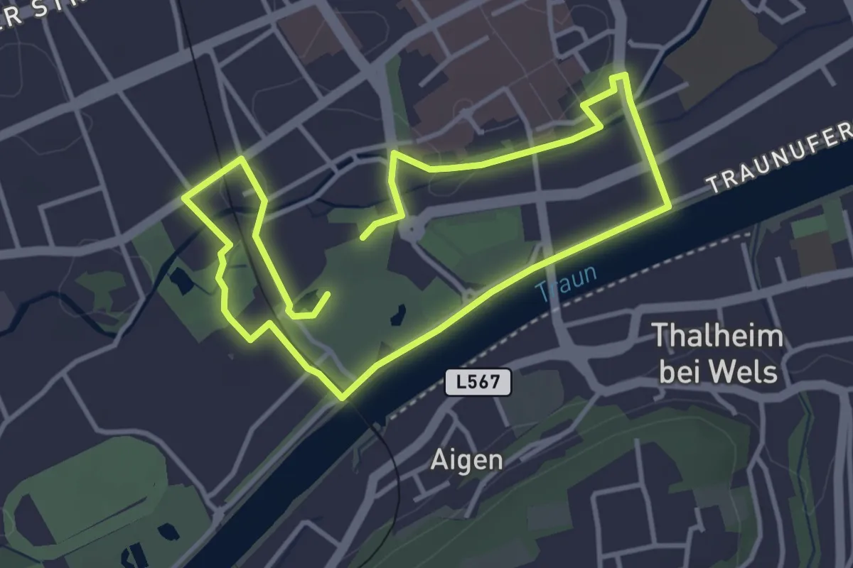
Easy · Trail
Stadtwanderung Wels
3.0 km · ↑ 0 m · 45 min
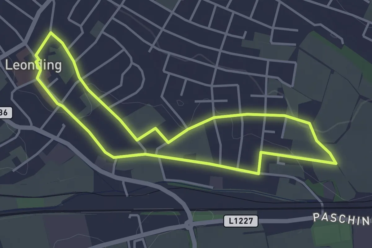
Easy · Trail
Stadtwanderweg
3.2 km · ↑ 39 m · 53 min
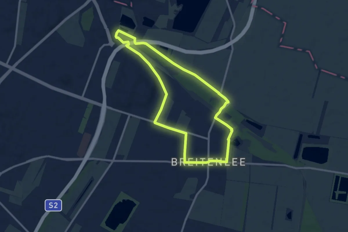
Easy · Trail
Stadtwanderweg 10 - Franz-Karl-Effenberg-Wanderweg
6.9 km · ↑ 0 m · 1 h 44 min
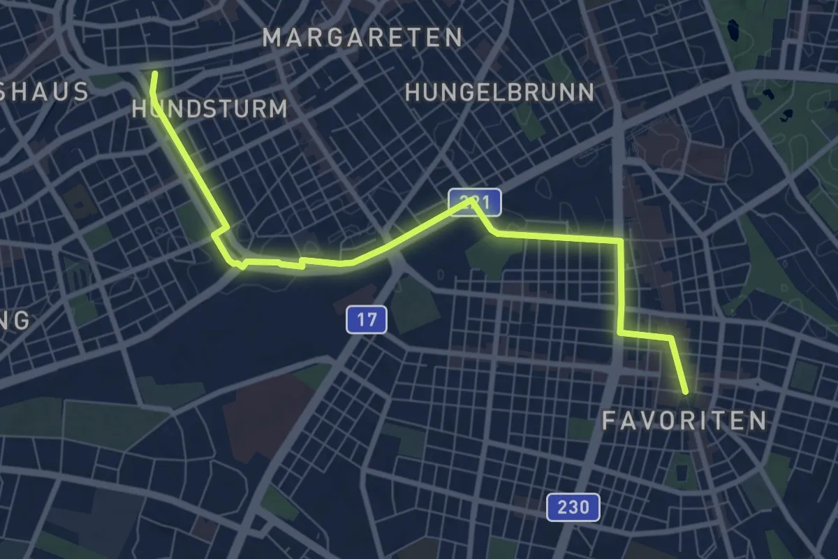
Medium · Trail
Stadtwanderweg 11 - Urbaner Gemeindebau-Wanderweg
8.2 km · ↑ 34 m · 2 h 1 min
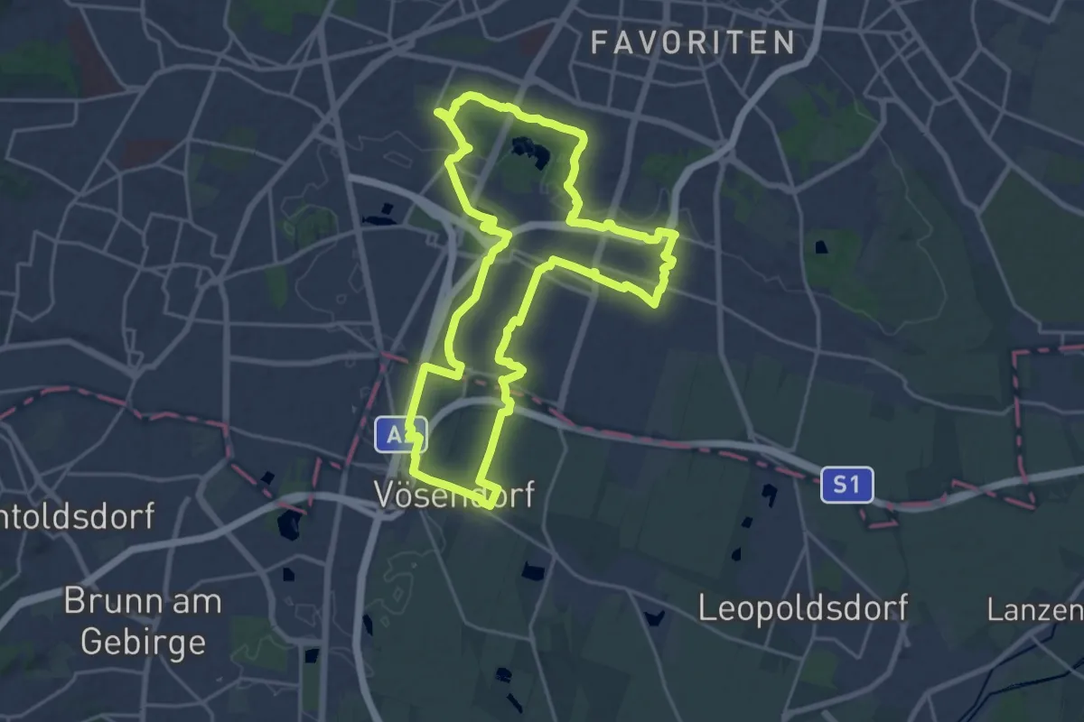
Demanding · Trail
Stadtwanderweg 12 - Wienerberg
19.6 km · ↑ 72 m · 5 h 3 min
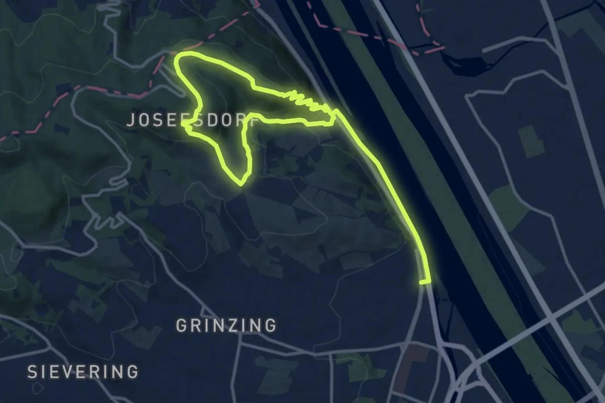
Easy · Summit
Stadtwanderweg 1a - Leopoldsberg
8.0 km · ↑ 313 m · 2 h 40 min
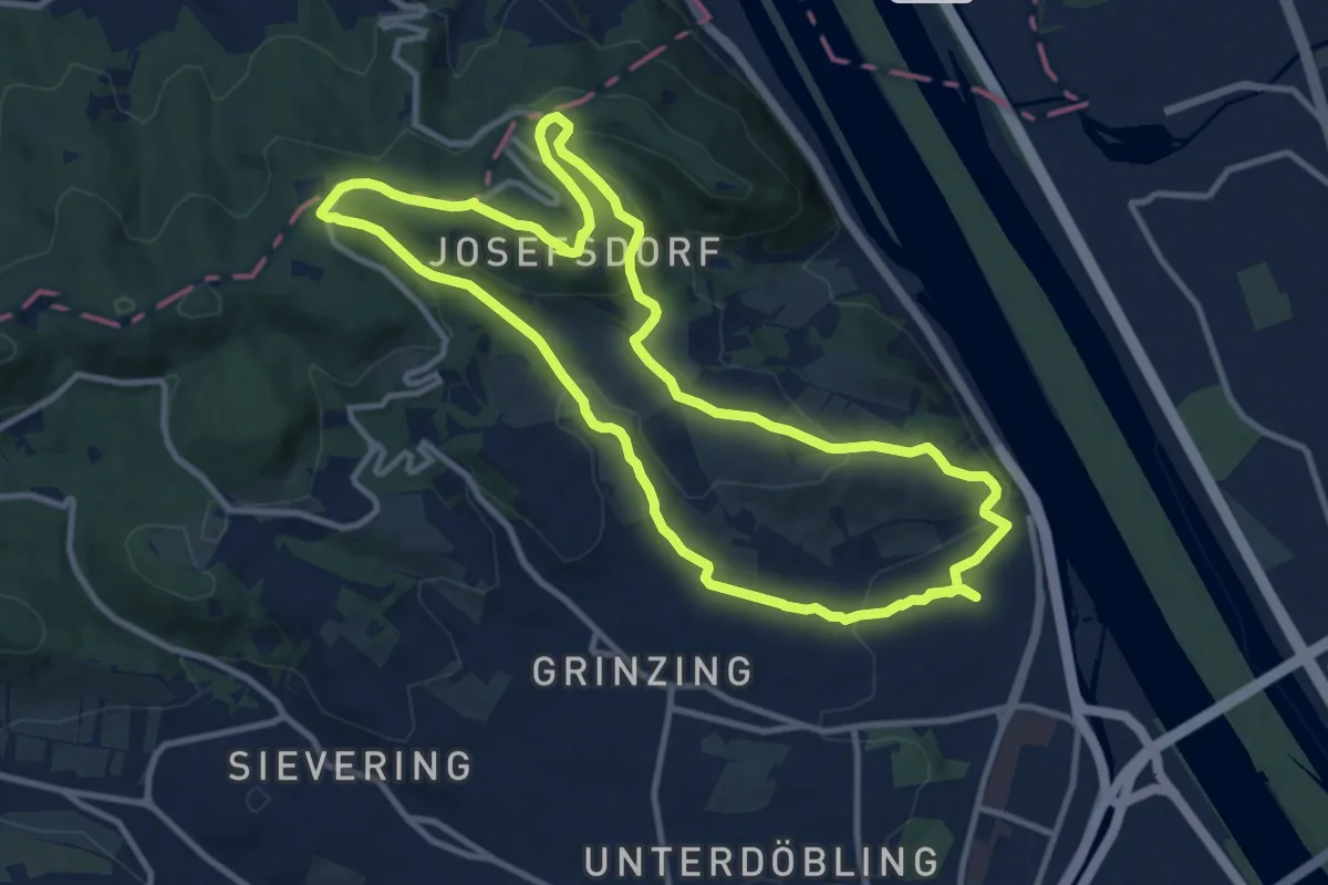
Medium · Summit
Stadtwanderweg 1 - Kahlenberg
11.0 km · ↑ 311 m · 3 h 26 min
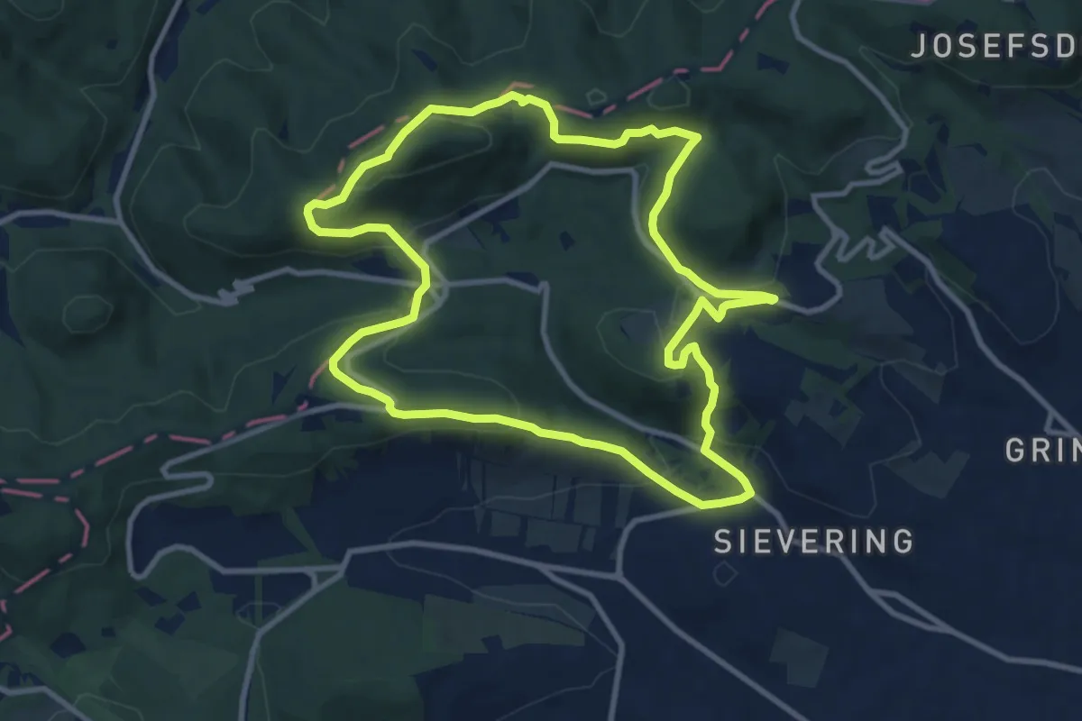
Medium · Summit
Stadtwanderweg 2 - Hermannskogel
9.7 km · ↑ 324 m · 3 h 7 min
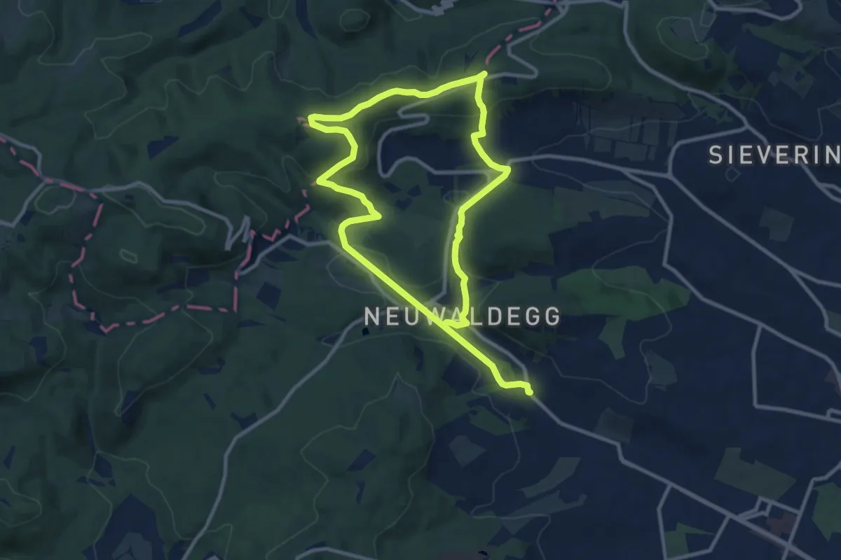
Medium · Summit
Stadtwanderweg 3 - Hameau
8.8 km · ↑ 277 m · 2 h 47 min
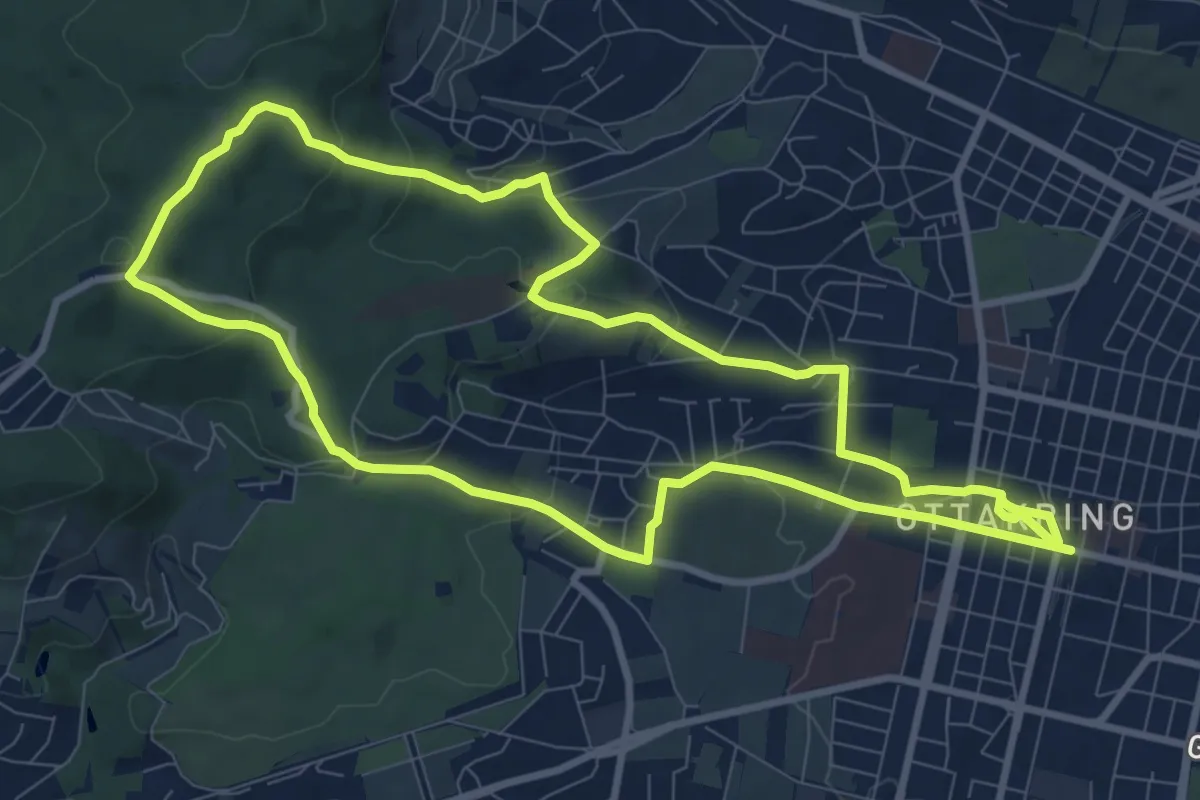
Medium · Summit
Stadtwanderweg 4a - Ottakring
9.3 km · ↑ 293 m · 2 h 57 min
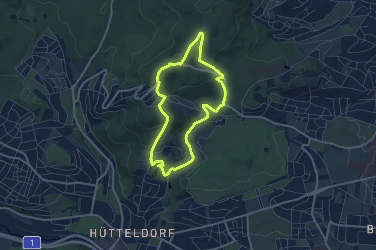
Easy · Summit
Stadtwanderweg 4 - Jubiläumswarte
5.5 km · ↑ 195 m · 1 h 47 min
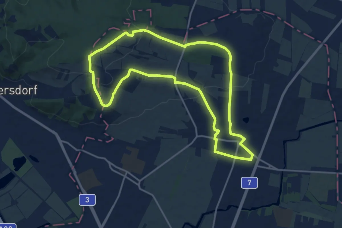
Medium · Summit
Stadtwanderweg 5 - Bisamberg
10.2 km · ↑ 190 m · 2 h 58 min
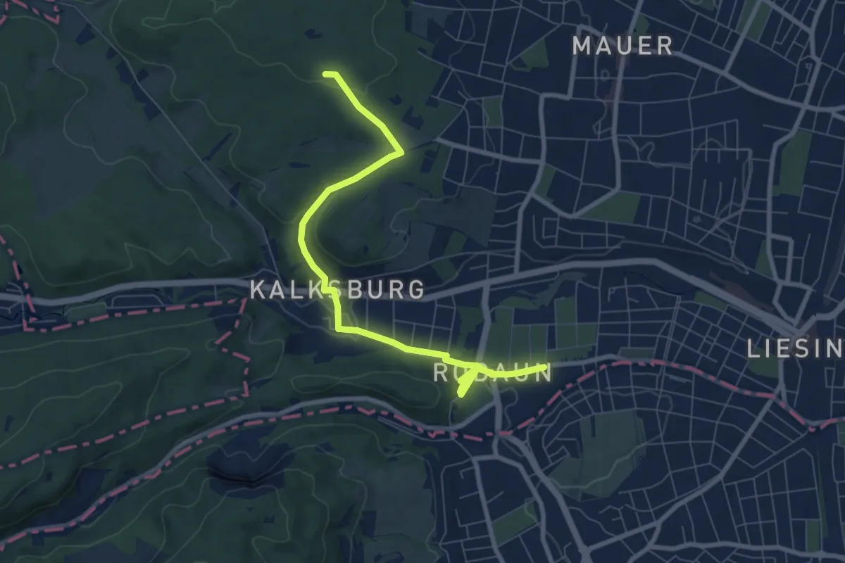
Medium · Summit
Stadtwanderweg 6 - Zugberg - Maurer Wald
13.8 km · ↑ 368 m · 4 h 14 min
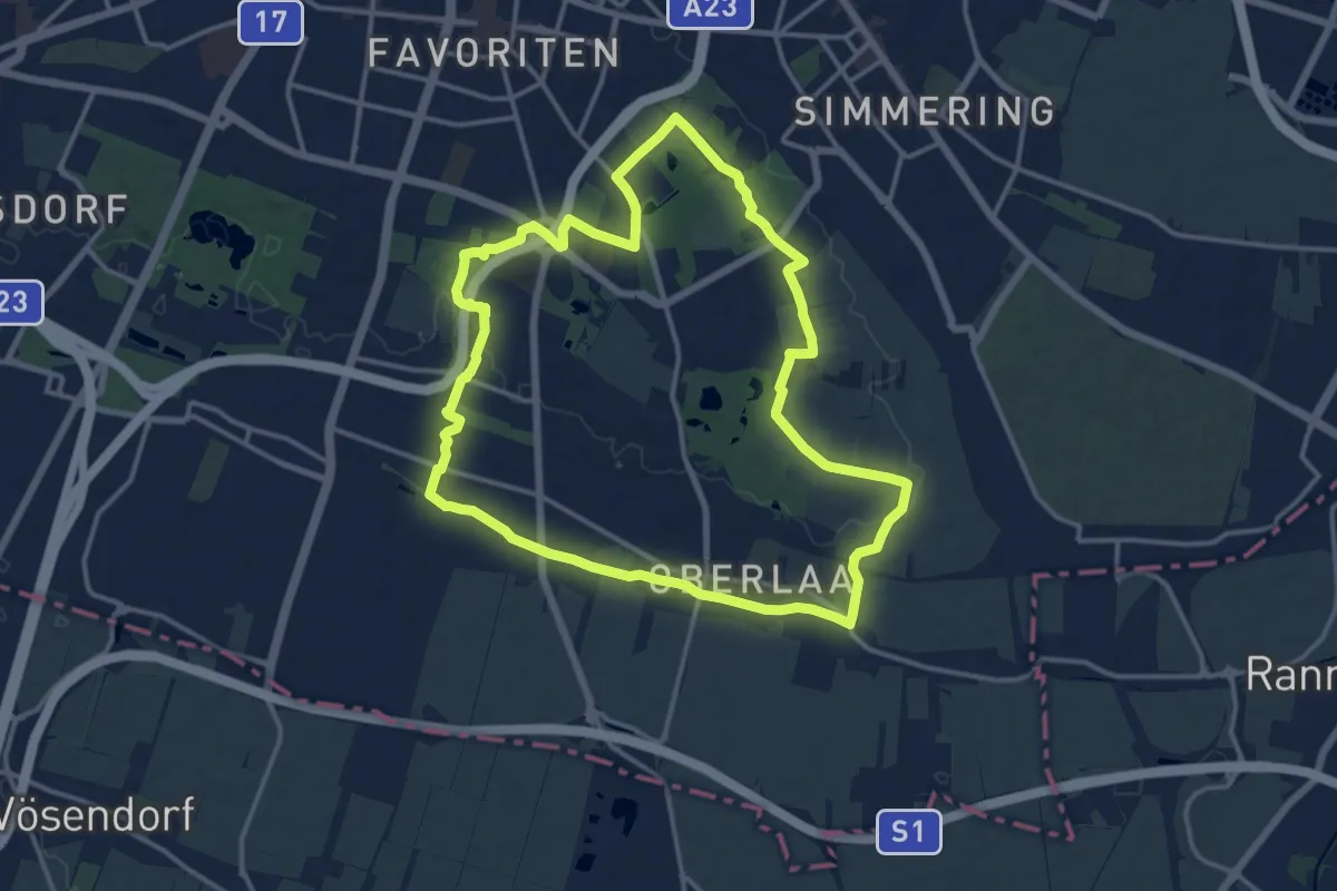
Medium · Trail
Stadtwanderweg 7 - Laaer Berg
14.1 km · ↑ 112 m · 3 h 46 min
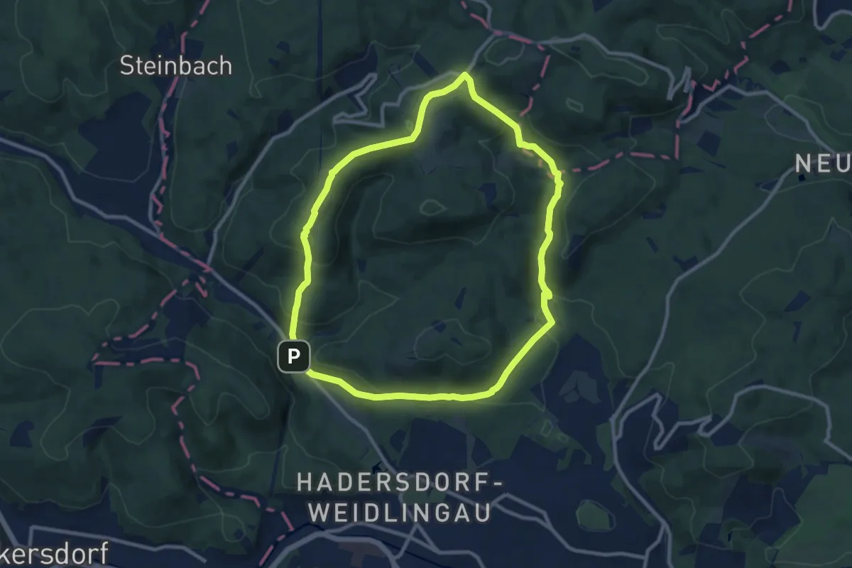
Medium · Summit
Stadtwanderweg 8 - Sofienalpe
9.0 km · ↑ 313 m · 2 h 56 min
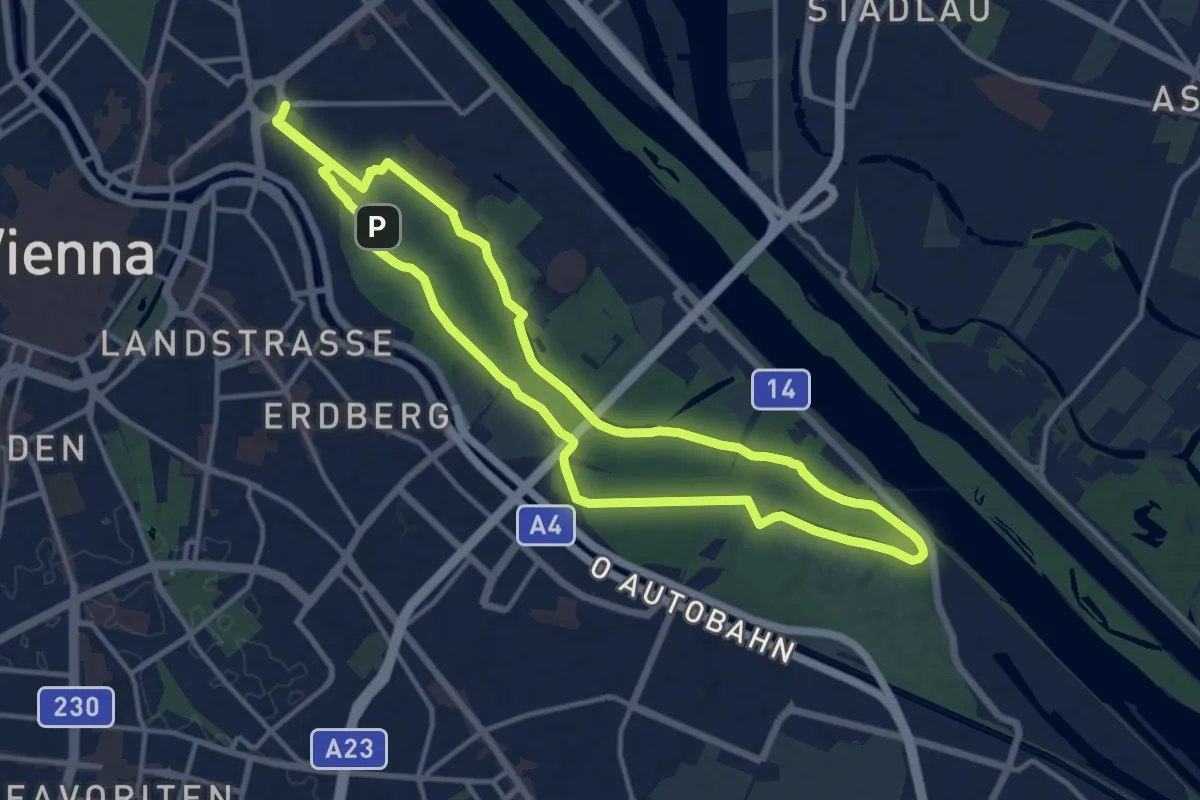
Medium · Summit
Stadtwanderweg 9 - Prater
12.9 km · ↑ 4 m · 3 h 14 min
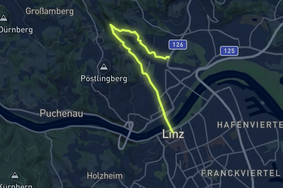
Medium · Trail
Stadtwanderweg Bachlberg
12.7 km · ↑ 353 m · 3 h 45 min
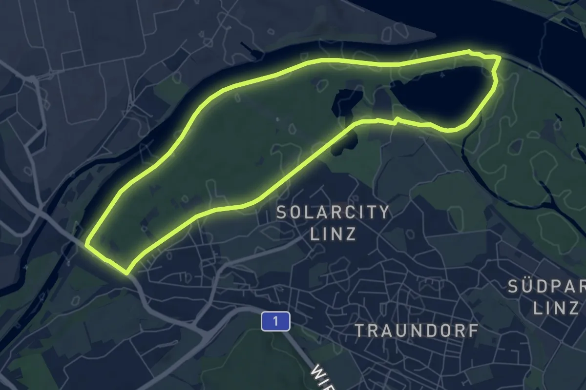
Easy · Trail
Stadtwanderweg Ebelsberg - Weikerlsee
7.5 km · ↑ 4 m · 1 h 53 min
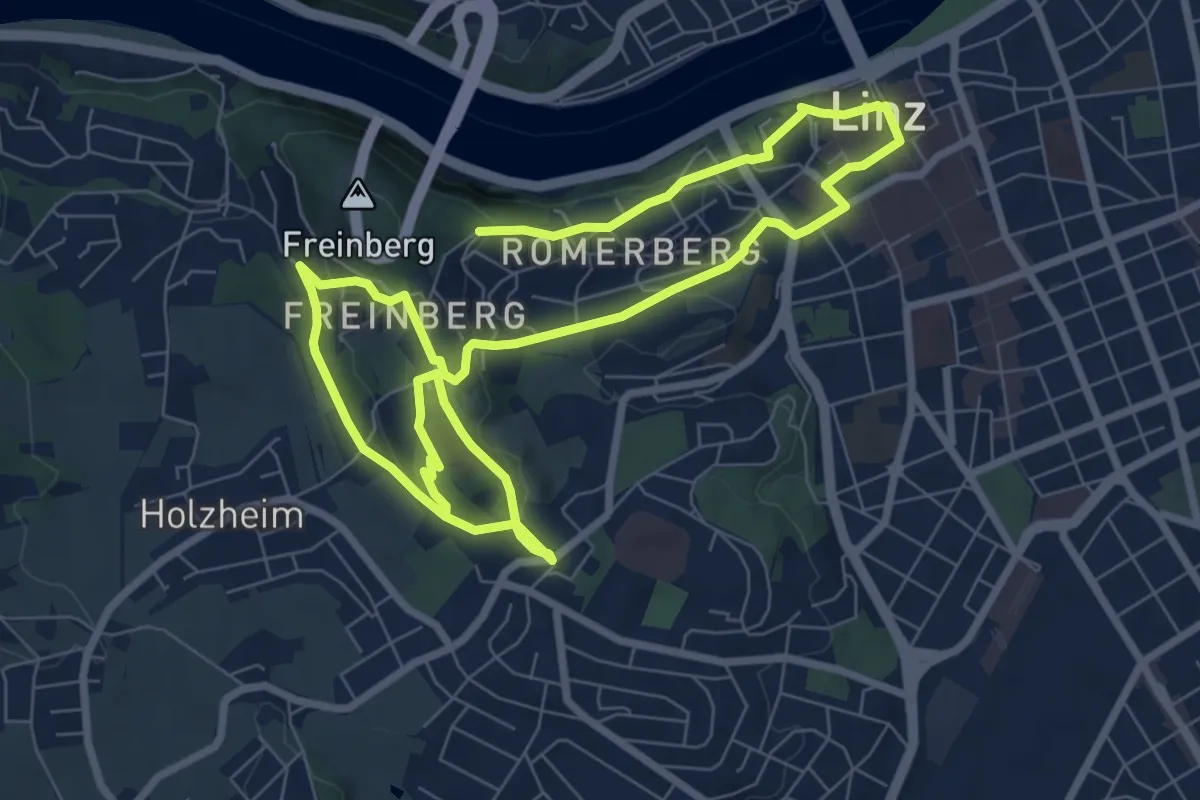
Medium · Trail
Stadtwanderweg Freinberg
13.7 km · ↑ 358 m · 4 h 1 min
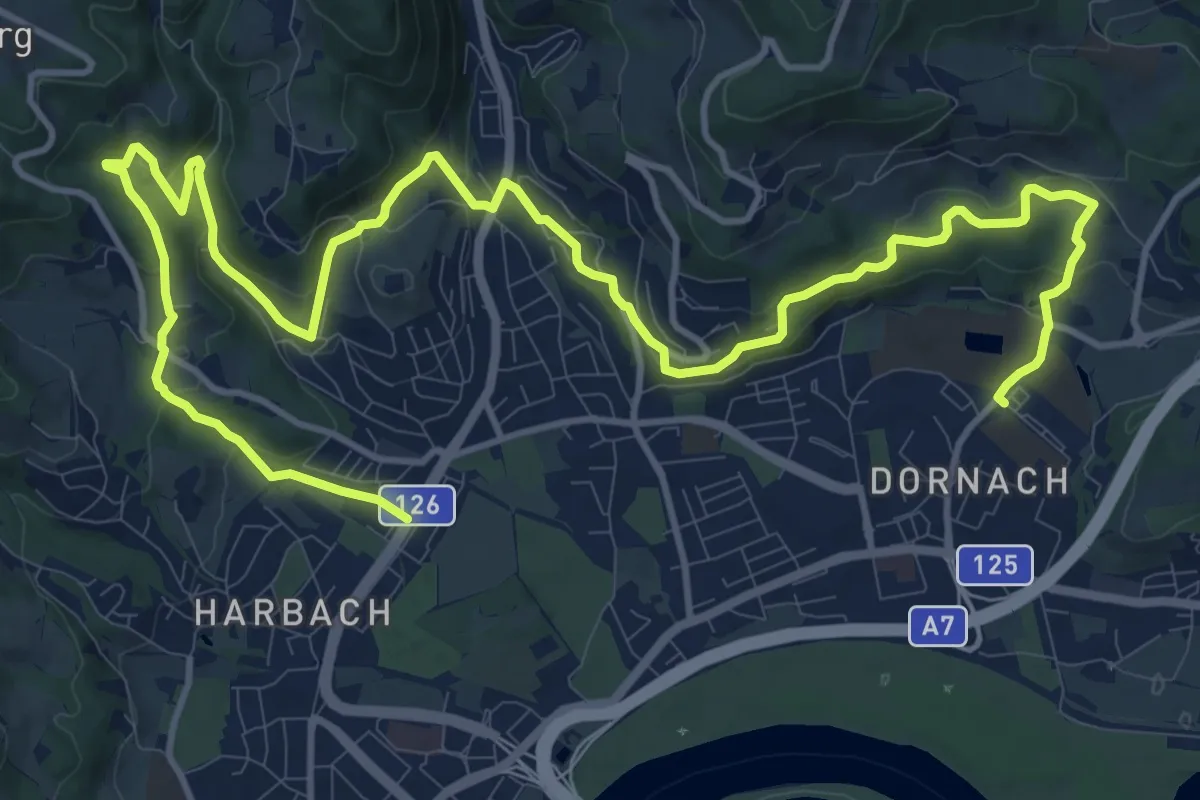
Demanding · Trail
Stadtwanderweg Gründberg-St.Magdalena-Pferdeeisenbahn
19.1 km · ↑ 470 m · 5 h 31 min
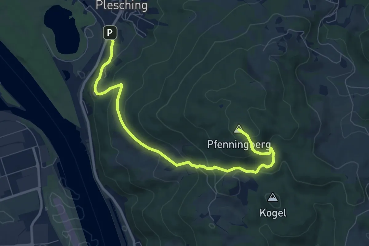
Medium · Summit
Stadtwanderweg Pfenningberg
8.0 km · ↑ 385 m · 2 h 44 min
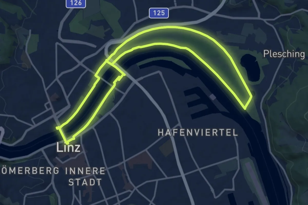
Medium · Trail
Stadtwanderweg Plesching
11.3 km · ↑ 12 m · 2 h 51 min
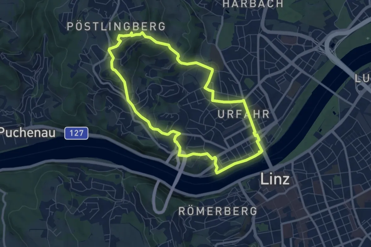
Easy · Summit
Stadtwanderweg Pöstlingberg
7.2 km · ↑ 275 m · 2 h 23 min
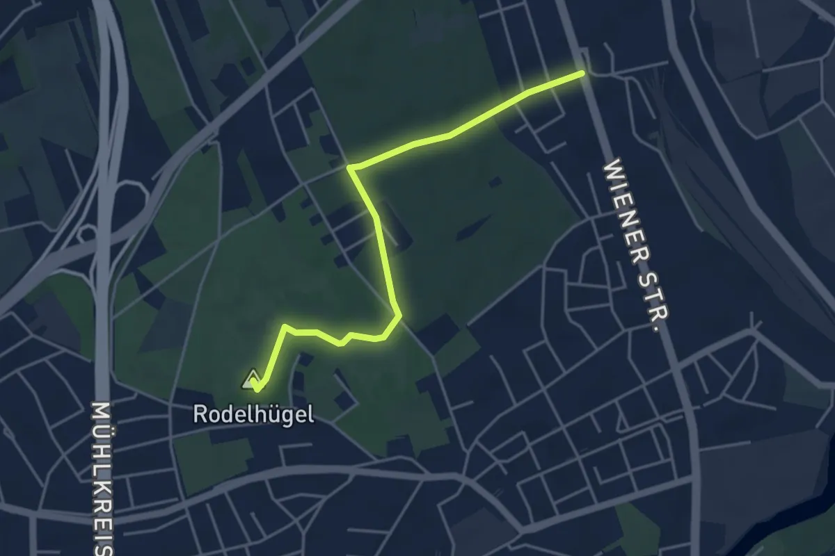
Easy · Summit
Stadtwanderweg Wasserwald
4.0 km · ↑ 10 m · 58 min
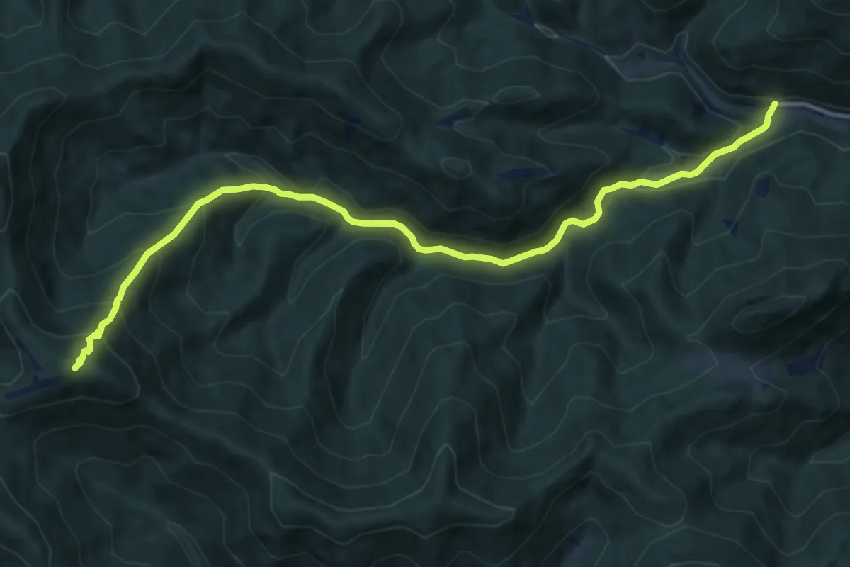
Medium · Summit
Staffbrücke - Staffgraben - Kieneck (Enzianhütte)
11.8 km · ↑ 656 m · 4 h 12 min
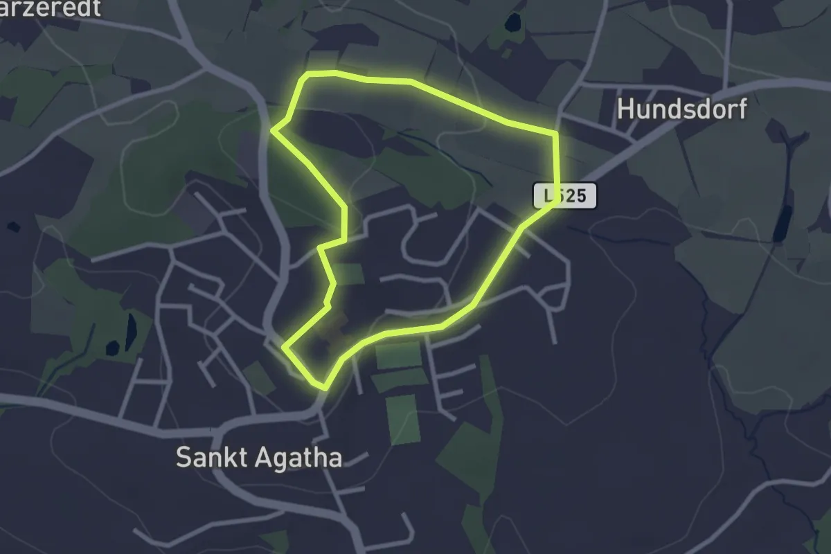
Easy · Trail
St. Agatha-Rundweg
2.3 km · ↑ 31 m · 38 min
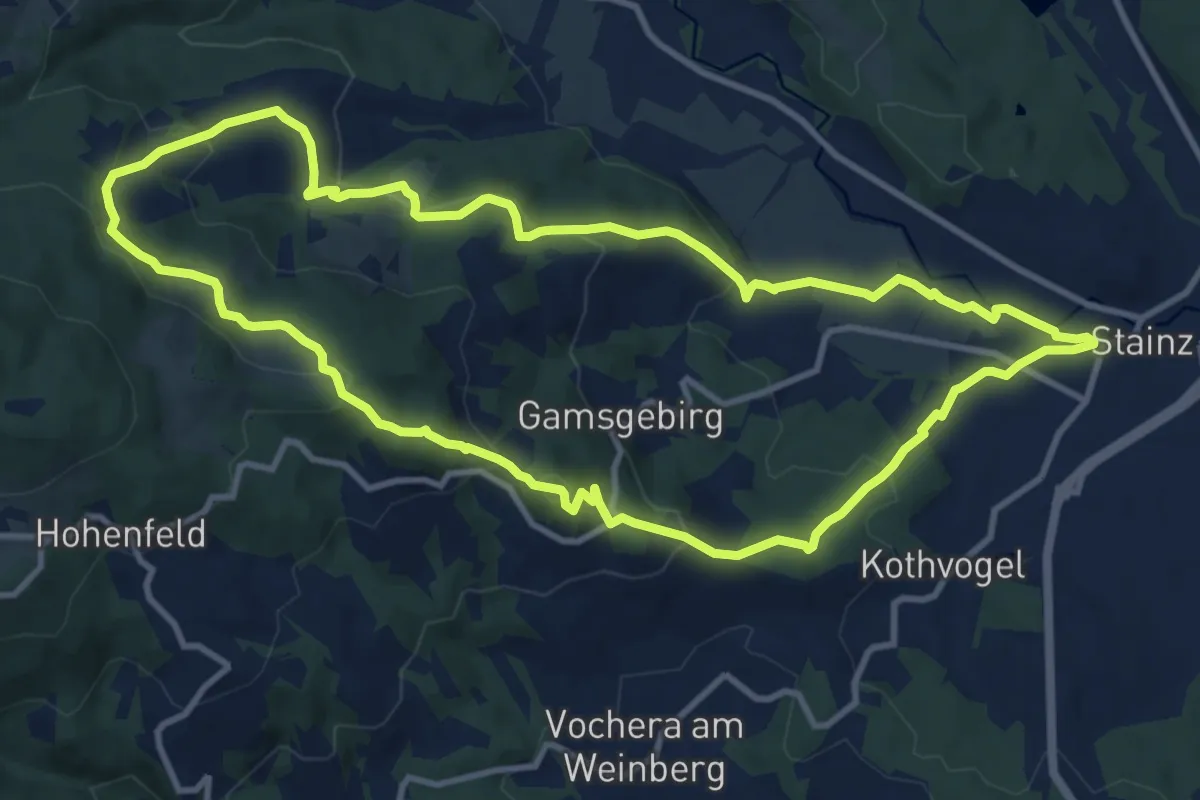
Medium · Summit
Stainzer Panoramaweg 1
11.3 km · ↑ 414 m · 3 h 43 min
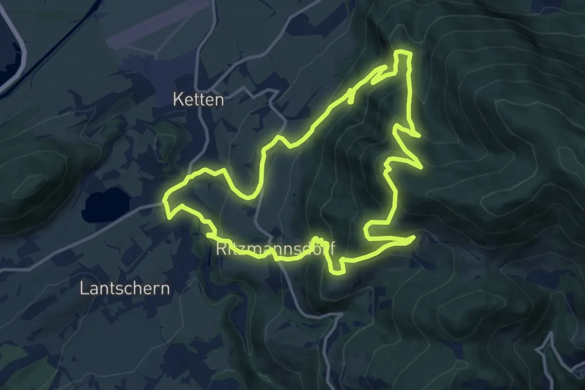
Medium · Trail
Stalingradkreuz Kohlanger Rastanger Weg
11.7 km · ↑ 724 m · 4 h 30 min
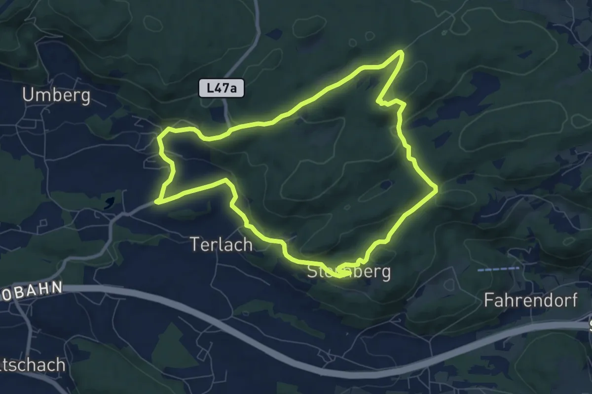
Medium · Trail
Stallhofen - Sternberg - Hohenwart
8.0 km · ↑ 279 m · 2 h 36 min
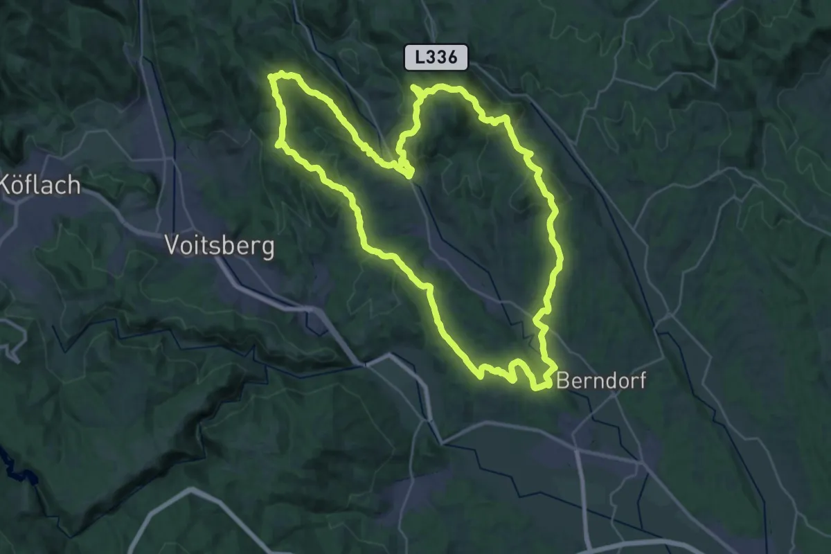
Demanding · Summit
Stallhofner Rundweg
33.6 km · ↑ 847 m · 10 h 13 min
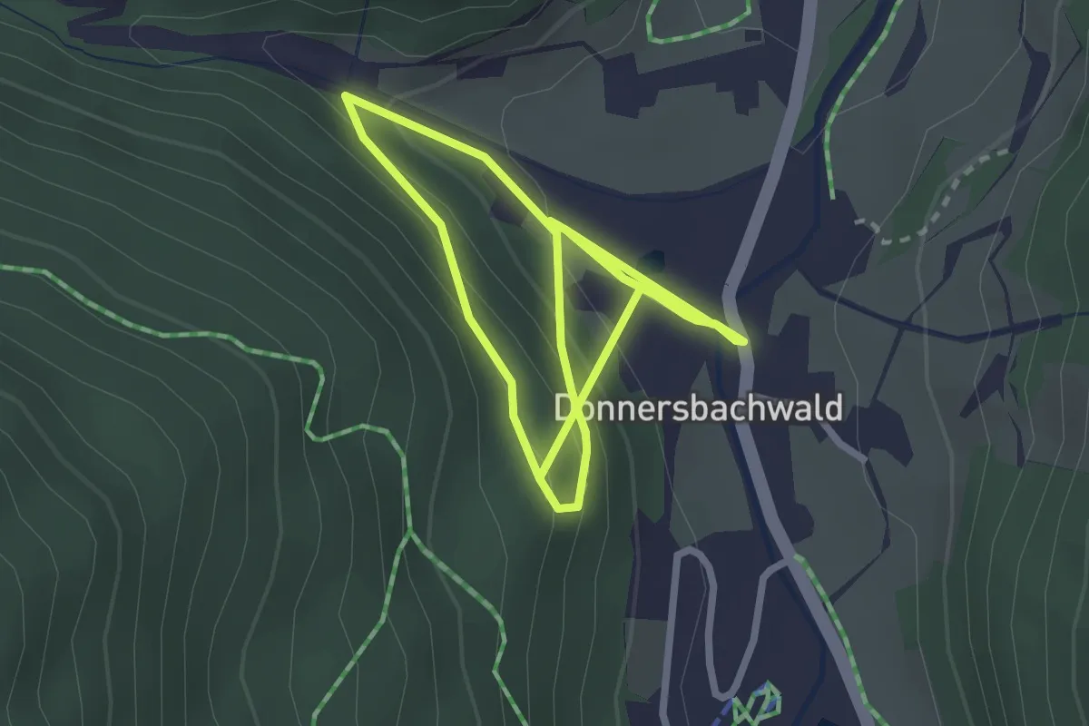
Easy · Trail
Stallwiesenweg
4.9 km · ↑ 265 m · 1 h 44 min
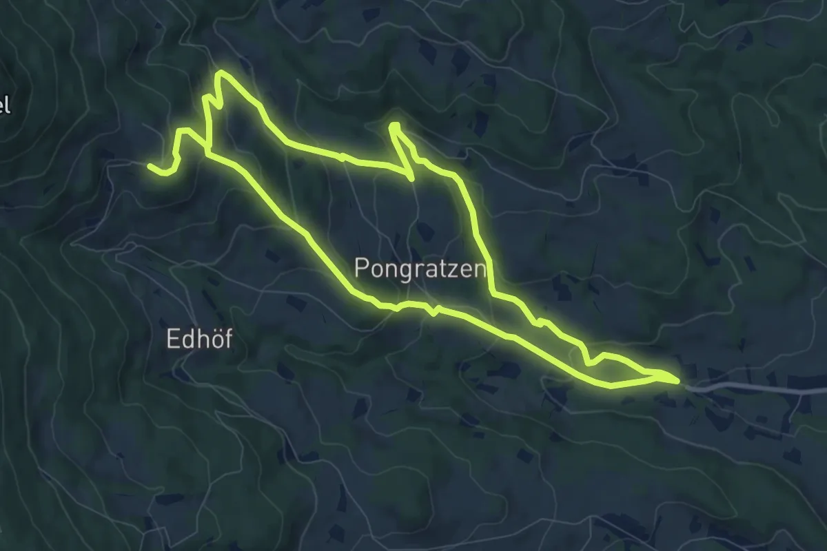
Medium · Trail
Stambach Weg 1
9.3 km · ↑ 450 m · 3 h 16 min
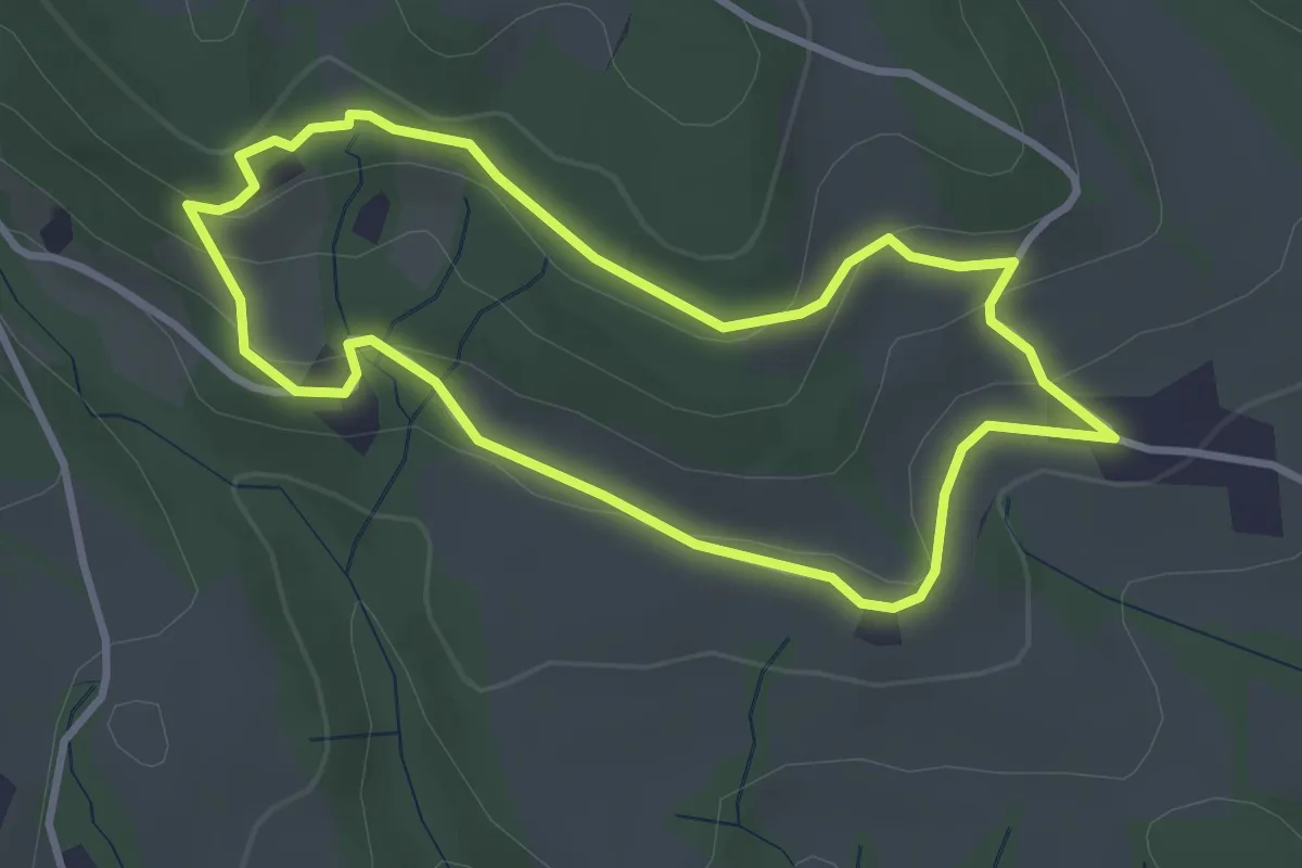
Easy · Trail
Stambach Weg 13
3.1 km · ↑ 77 m · 56 min
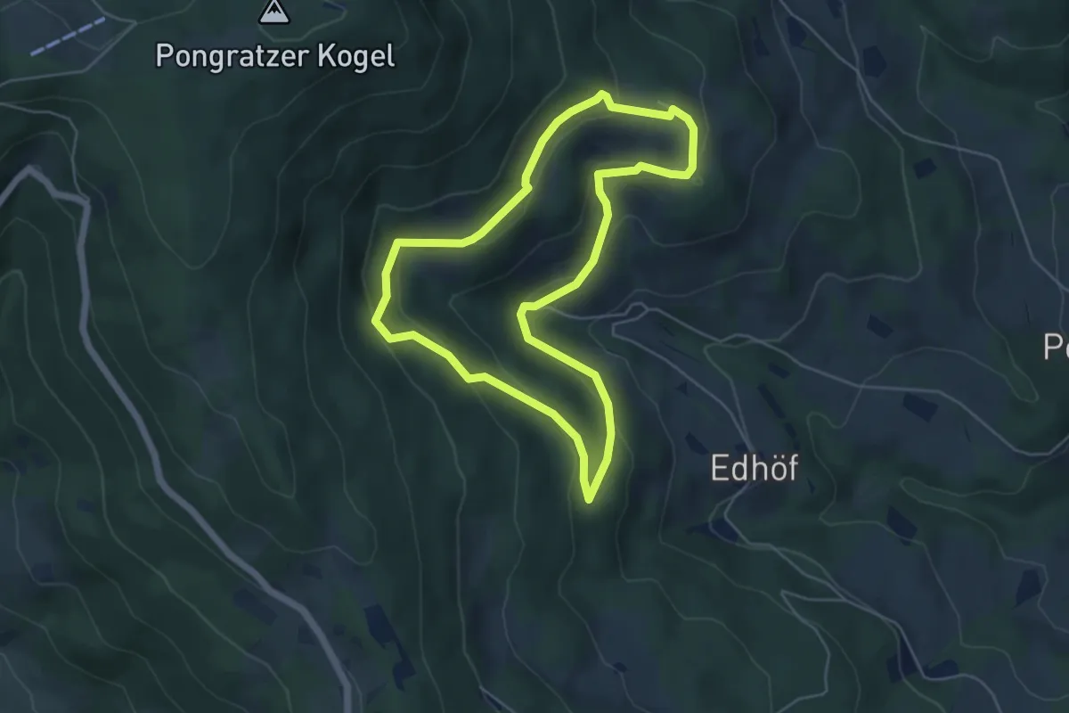
Easy · Trail
Stambach Weg 14
4.9 km · ↑ 171 m · 1 h 35 min
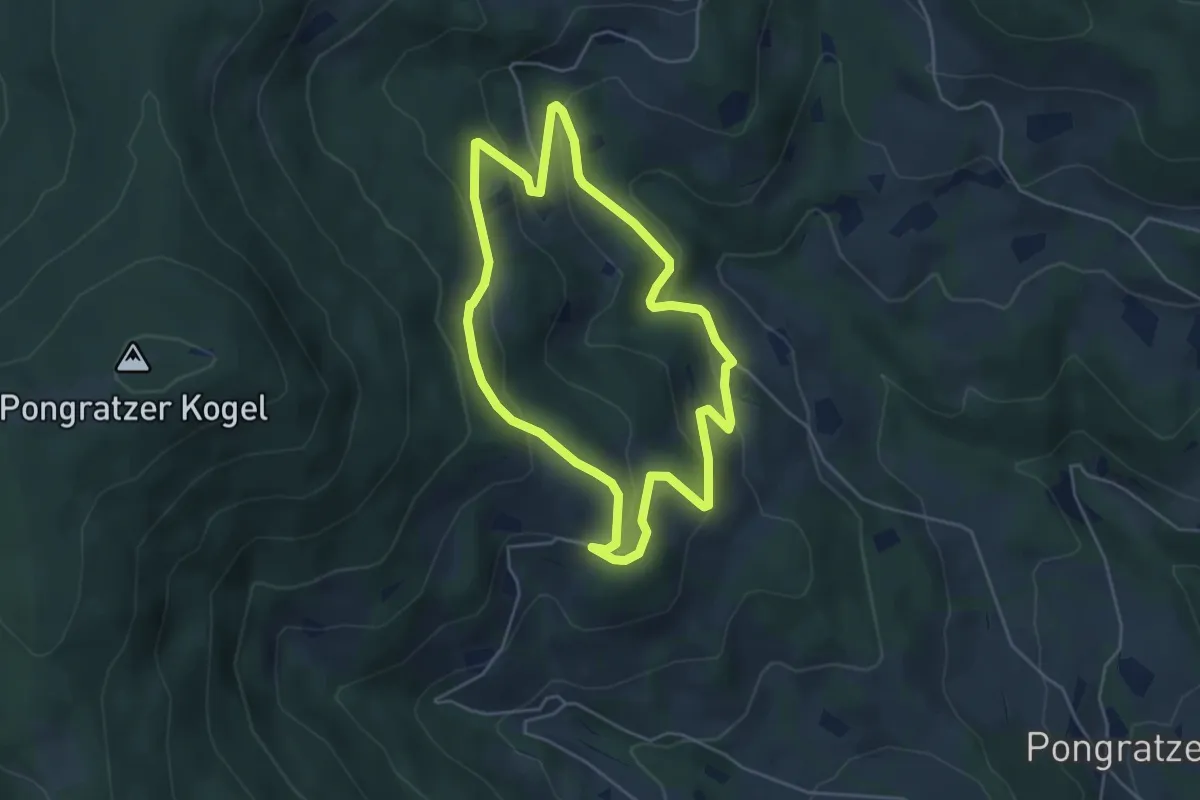
Easy · Trail
Stambach Weg 4
4.5 km · ↑ 188 m · 1 h 32 min
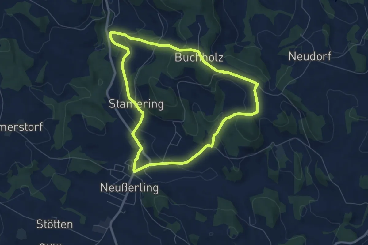
Easy · Trail
Stamering-Buchholz-Runde
6.0 km · ↑ 197 m · 1 h 56 min
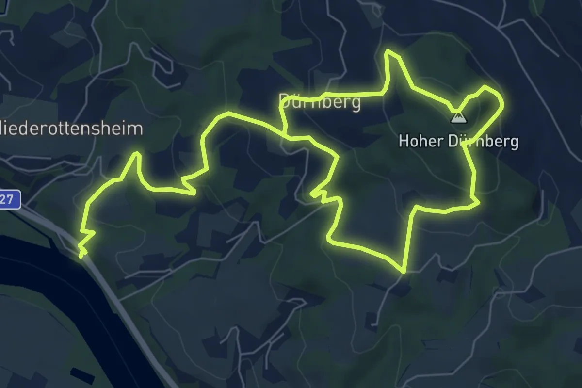
Medium · Summit
Stamperlweg
6.1 km · ↑ 385 m · 2 h 17 min
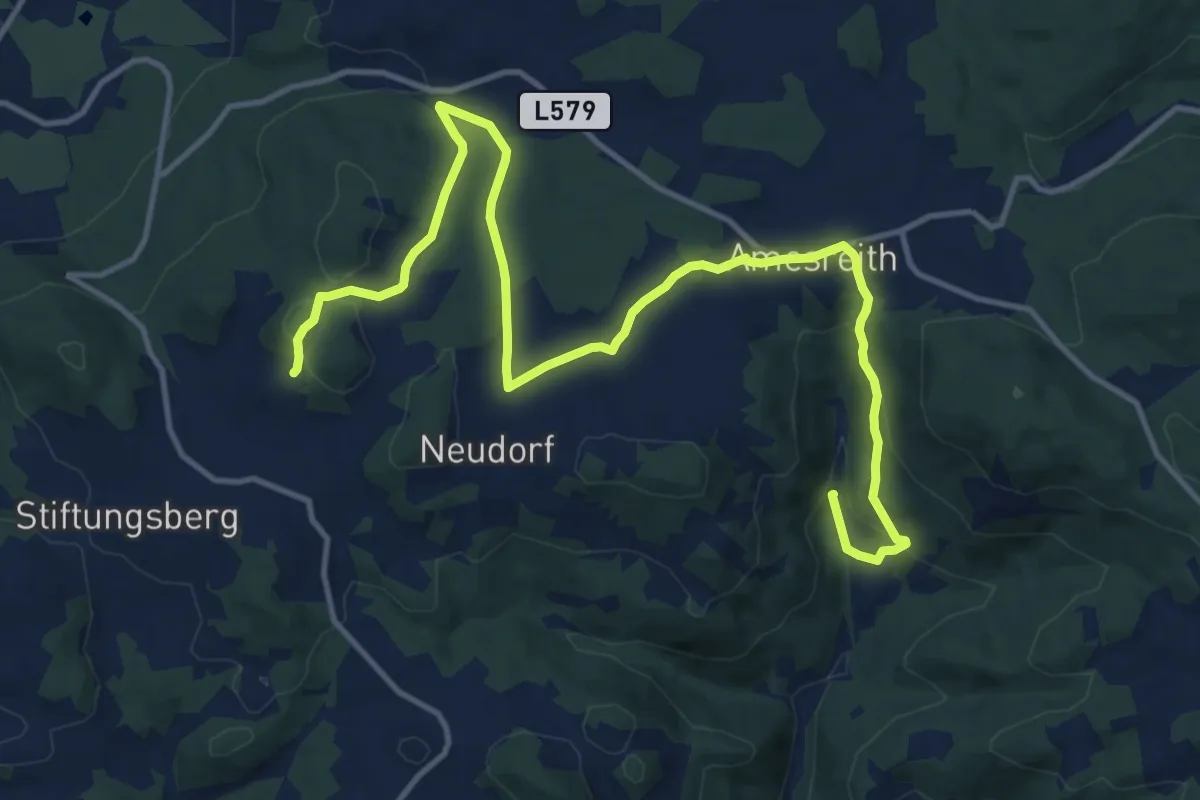
Medium · Trail
Stampfentalweg
8.1 km · ↑ 326 m · 2 h 38 min
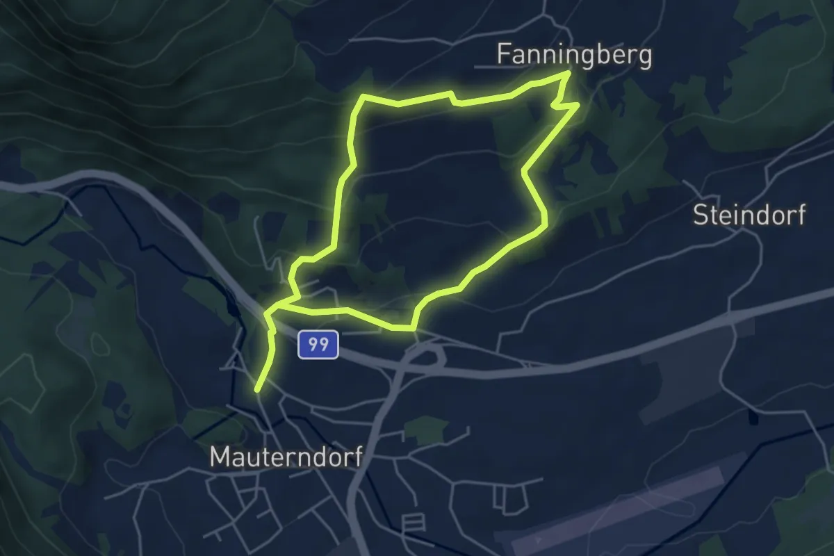
Medium · Trail
Stampflrundweg
8.0 km · ↑ 419 m · 2 h 48 min
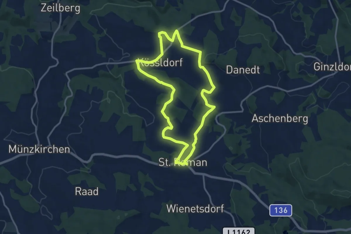
Medium · Trail
Stampfweg
8.8 km · ↑ 192 m · 2 h 37 min
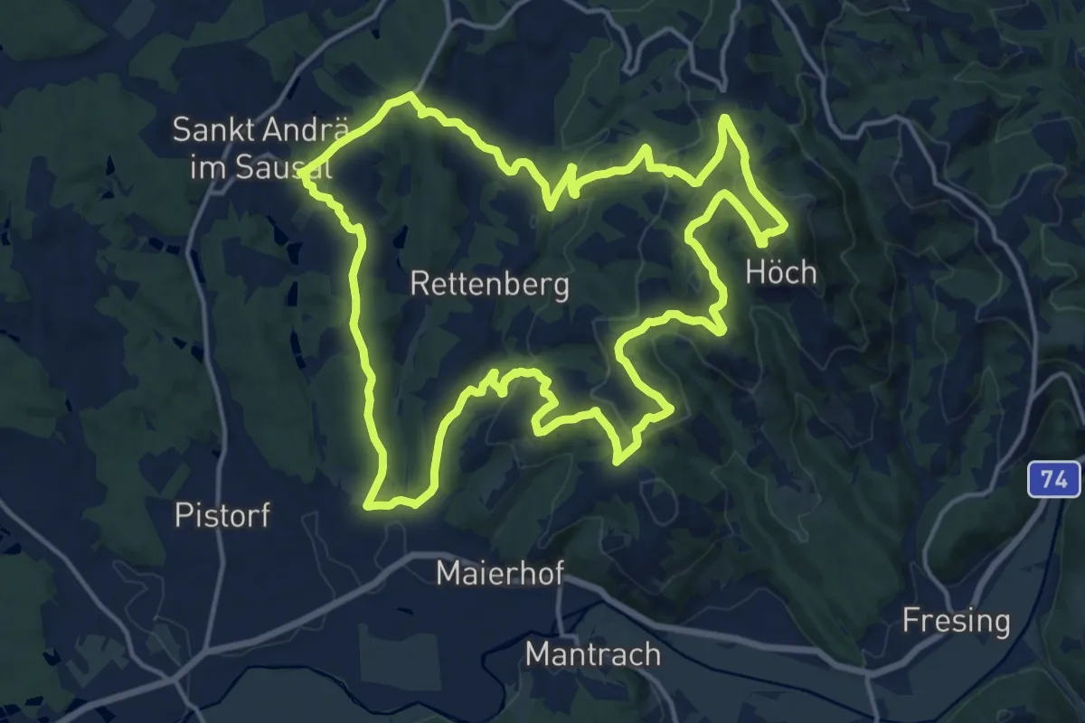
Medium · Summit
St. Andrä - Höcher Runde
17.2 km · ↑ 593 m · 5 h 35 min
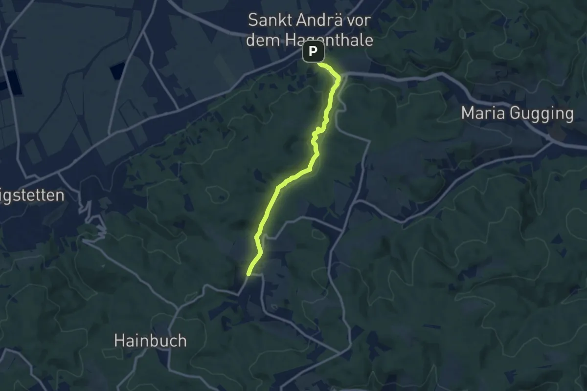
Medium · Trail
St. Andrä vor dem Hagenthale - Unterkirchbach/Ort
8.7 km · ↑ 136 m · 2 h 21 min